Trails near Mahabaleshwar
25 hikes starting within 15 km, nearest first.
Nearest first
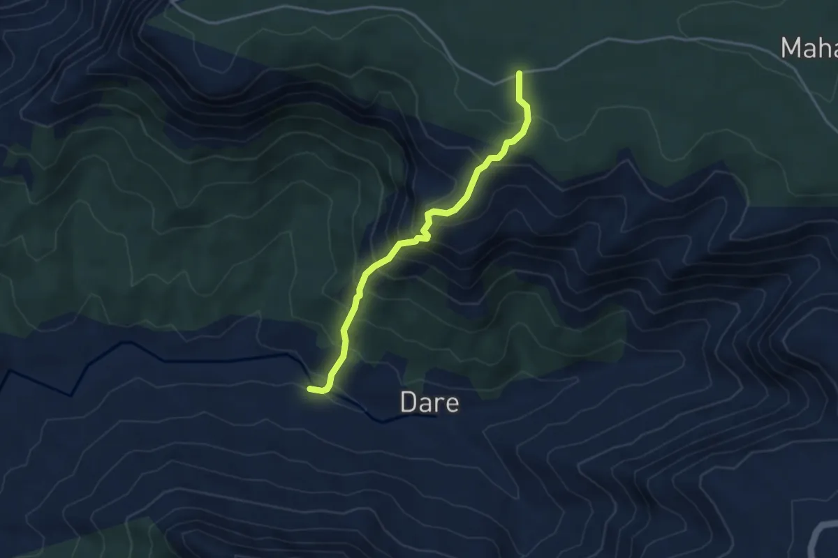
Medium · Trail
Dare-NisanachiWaat
4.5 km · ↑ 544 m · 2 h 14 min · 4 km away
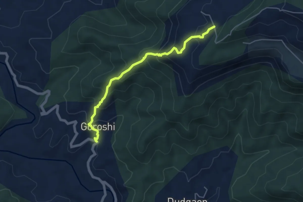
Medium · Trail
Manghar to Goroshi
5.4 km · ↑ 425 m · 2 h 12 min · 4 km away
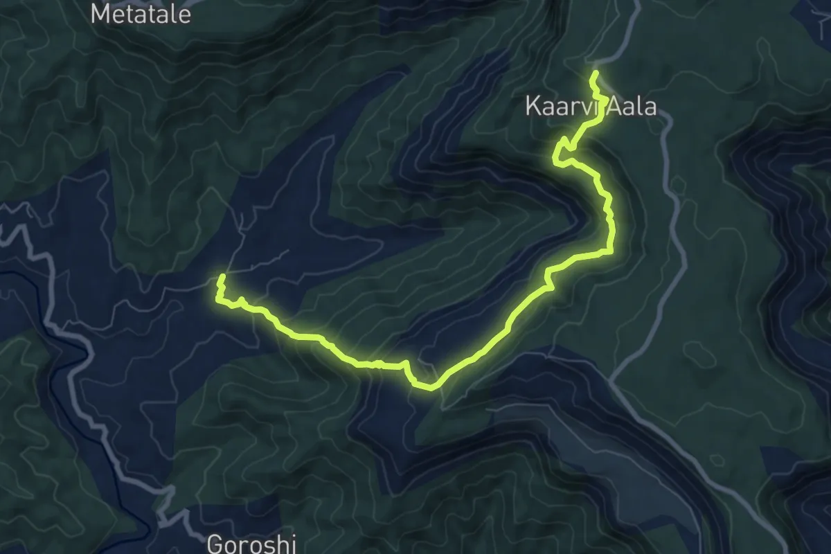
Medium · Trail
Birwadi to Karviaale Wadi
12.4 km · ↑ 737 m · 4 h 31 min · 4 km away
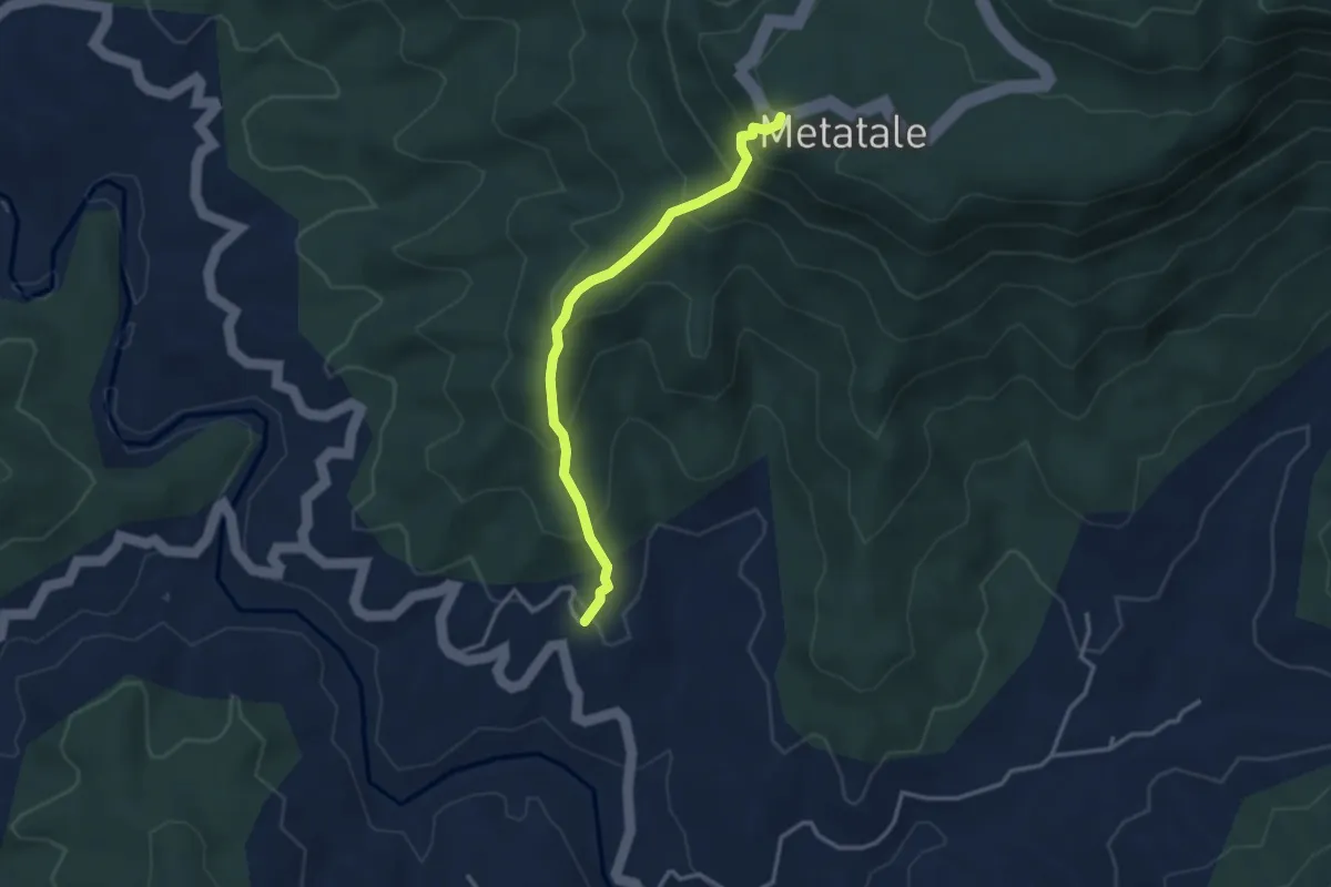
Medium · Trail
Shrivali to Metatale
4.2 km · ↑ 356 m · 1 h 45 min · 5 km away
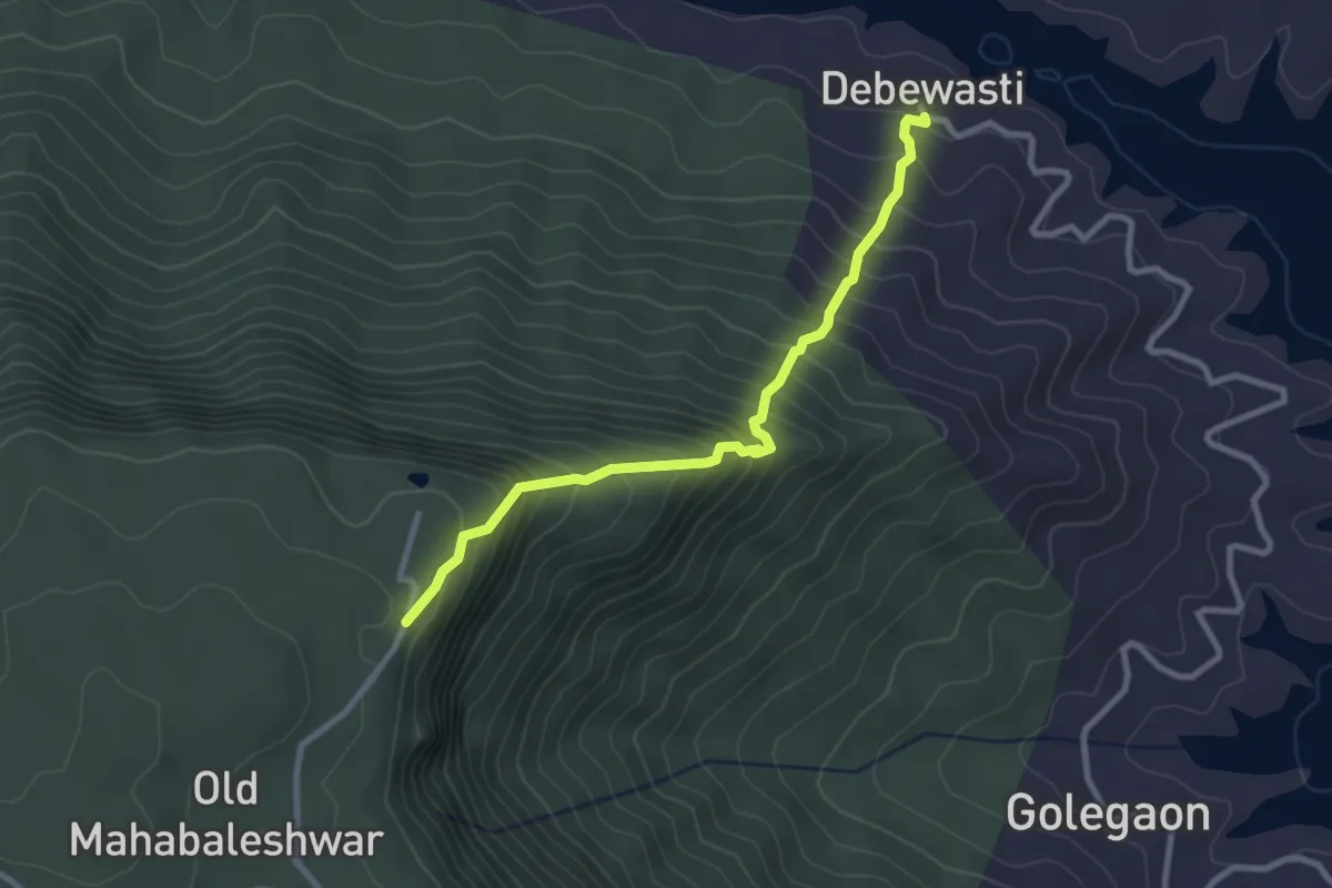
Medium · Trail
Old Mahabaleshwar to Debewasti
3.8 km · ↑ 473 m · 1 h 55 min · 6 km away
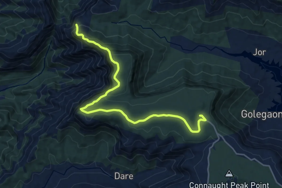
Medium · Trail
Bahirichi Ghumati to Mahabaleshwar
17.6 km · ↑ 639 m · 5 h 32 min · 8 km away
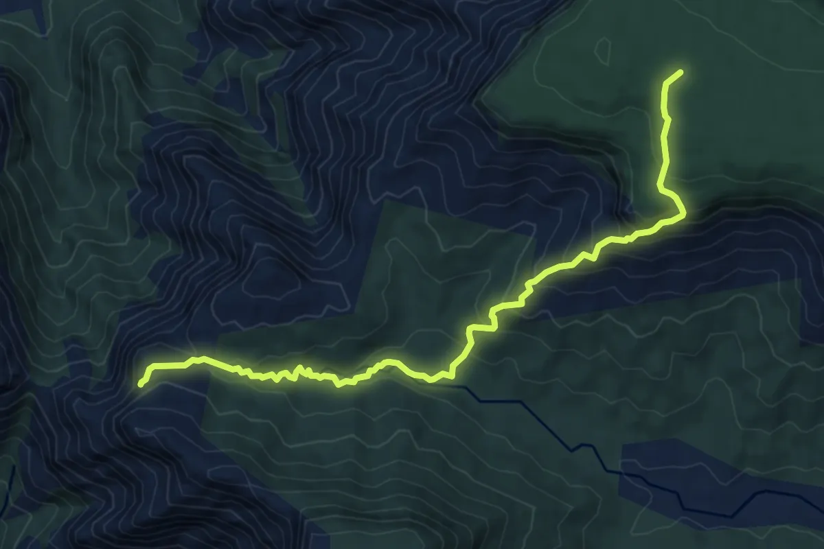
Medium · Trail
Bahirichi to Koleshwar
10.3 km · ↑ 645 m · 3 h 49 min · 8 km away
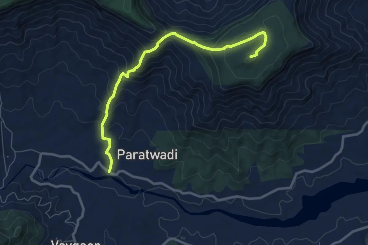
Medium · Trail
Kamalgad Fort 2
8.9 km · ↑ 633 m · 3 h 28 min · 8 km away
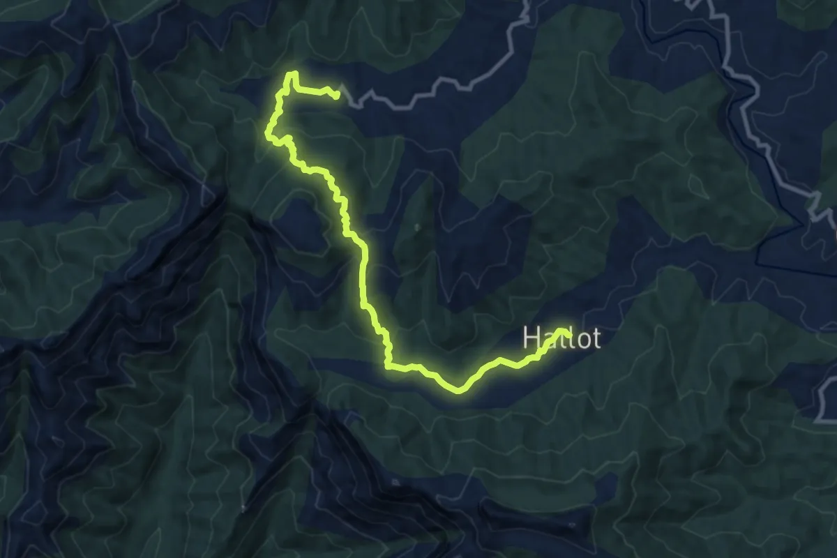
Medium · Trail
Hatlot to Birmani (Upper)
14.3 km · ↑ 614 m · 4 h 42 min · 9 km away
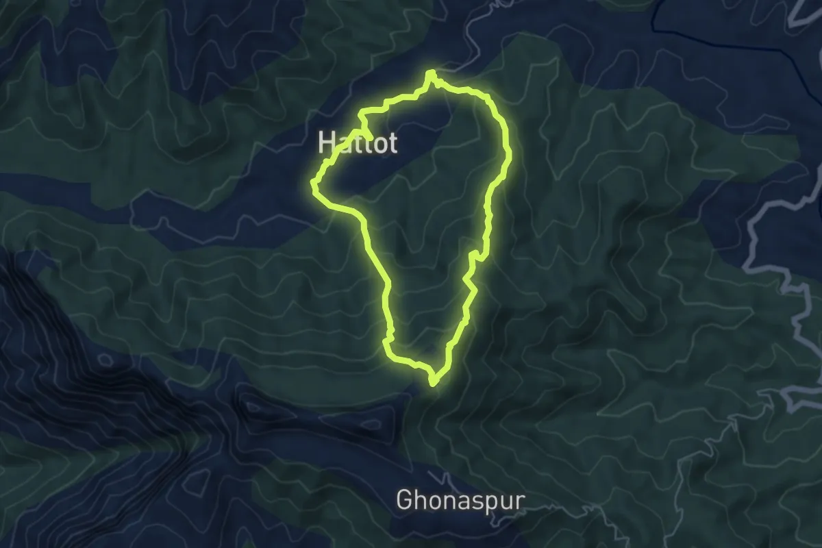
Medium · Trail
Madhu Makarandgad Loop
6.1 km · ↑ 389 m · 2 h 21 min · 9 km away
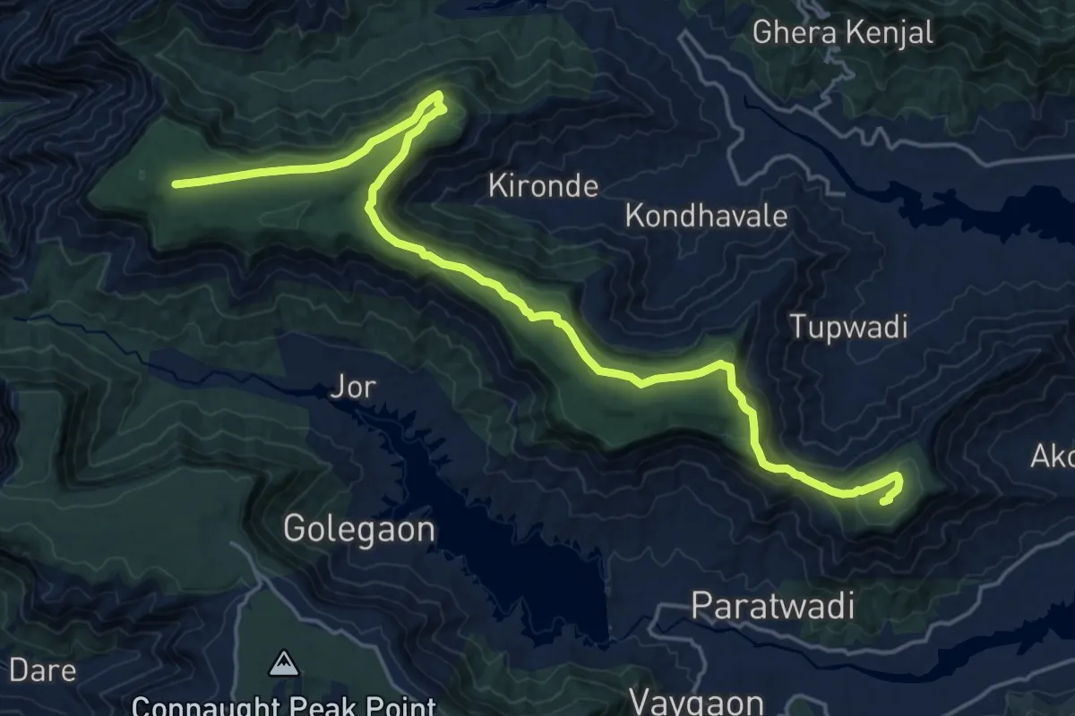
Medium · Trail
Kopeshwar to Kamalgad
15.2 km · ↑ 346 m · 4 h 34 min · 9 km away
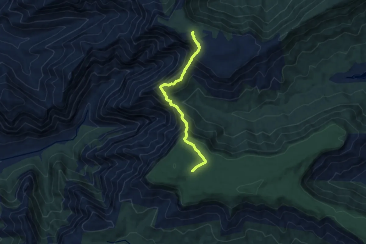
Demanding · Trail
Kopeshwar to Nakinda
9.6 km · ↑ 804 m · 4 h 1 min · 9 km away
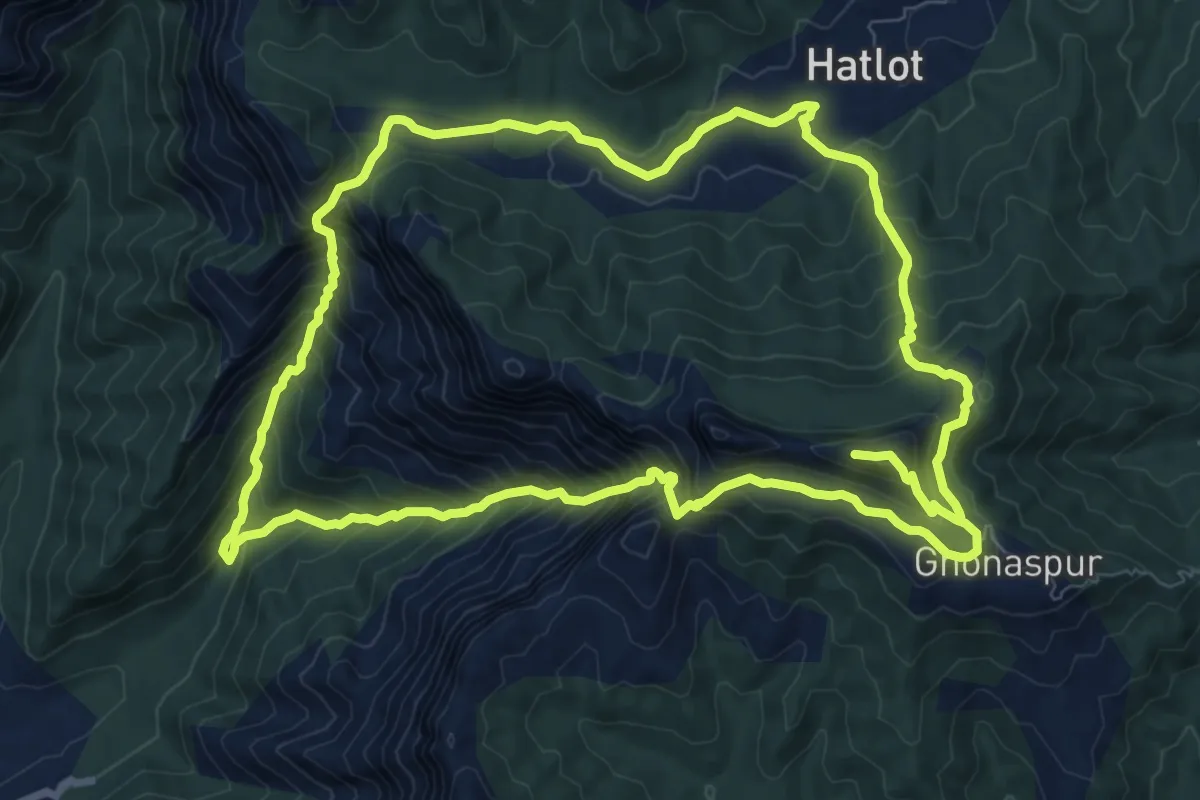
Demanding · Trail
Makarandgad Fort
12.6 km · ↑ 1114 m · 5 h 30 min · 10 km away
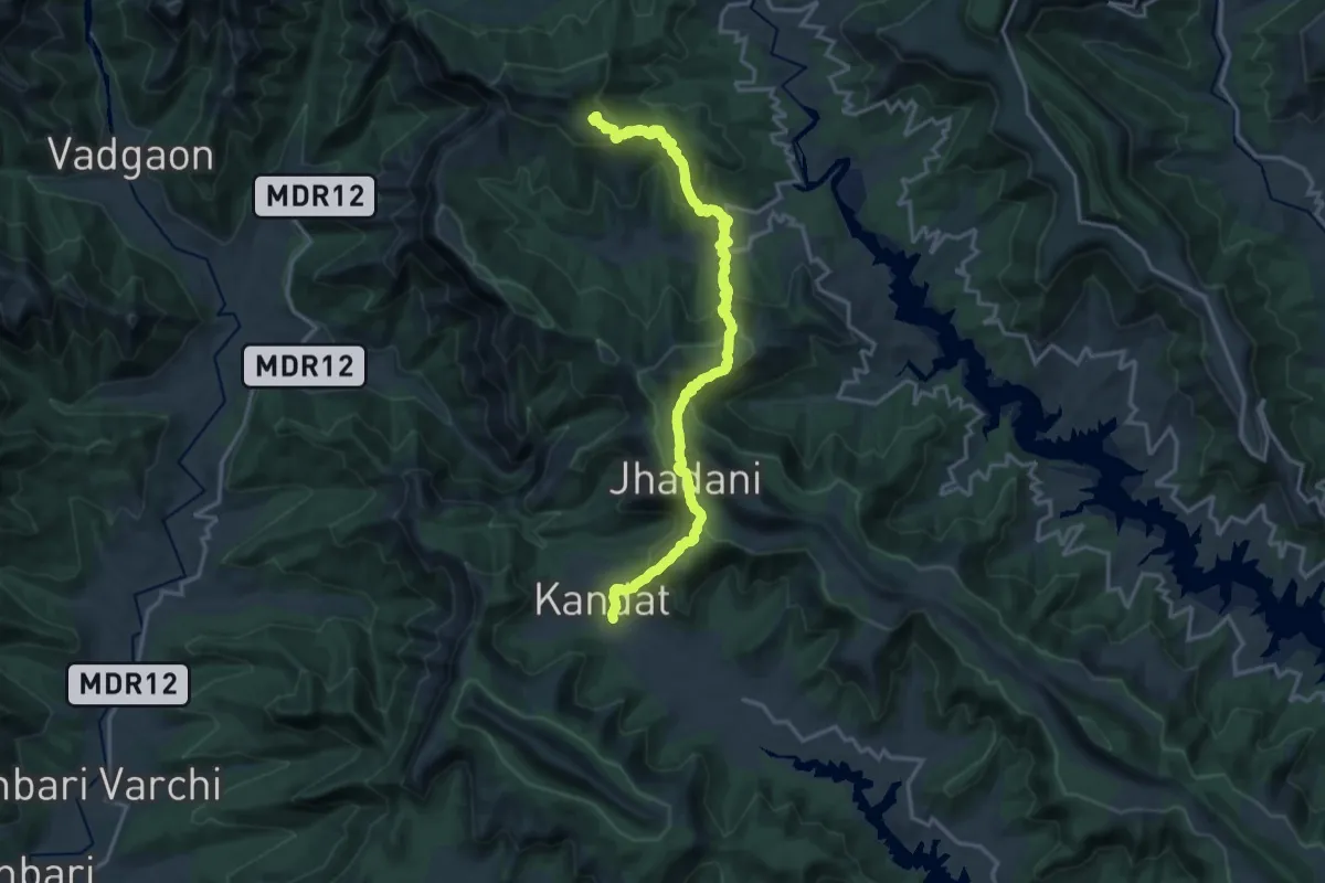
Medium · Trail
Ghonaspur to Kandat
12.6 km · ↑ 507 m · 4 h 26 min · 10 km away
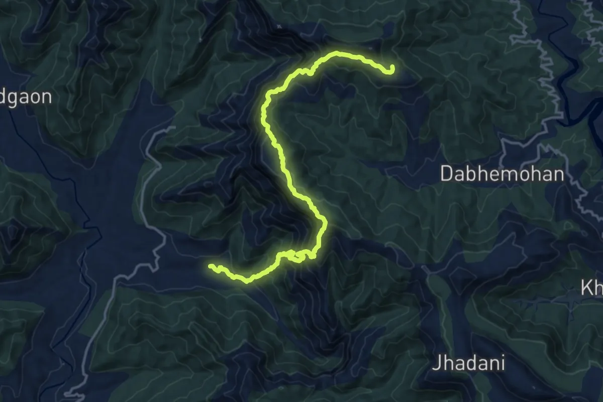
Medium · Trail
Angthesari Top
10.5 km · ↑ 413 m · 3 h 58 min · 10 km away
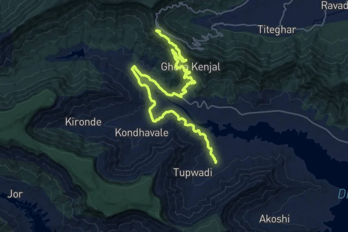
Medium · Trail
Kamalgad to Raireshwar
14.7 km · ↑ 529 m · 4 h 37 min · 12 km away
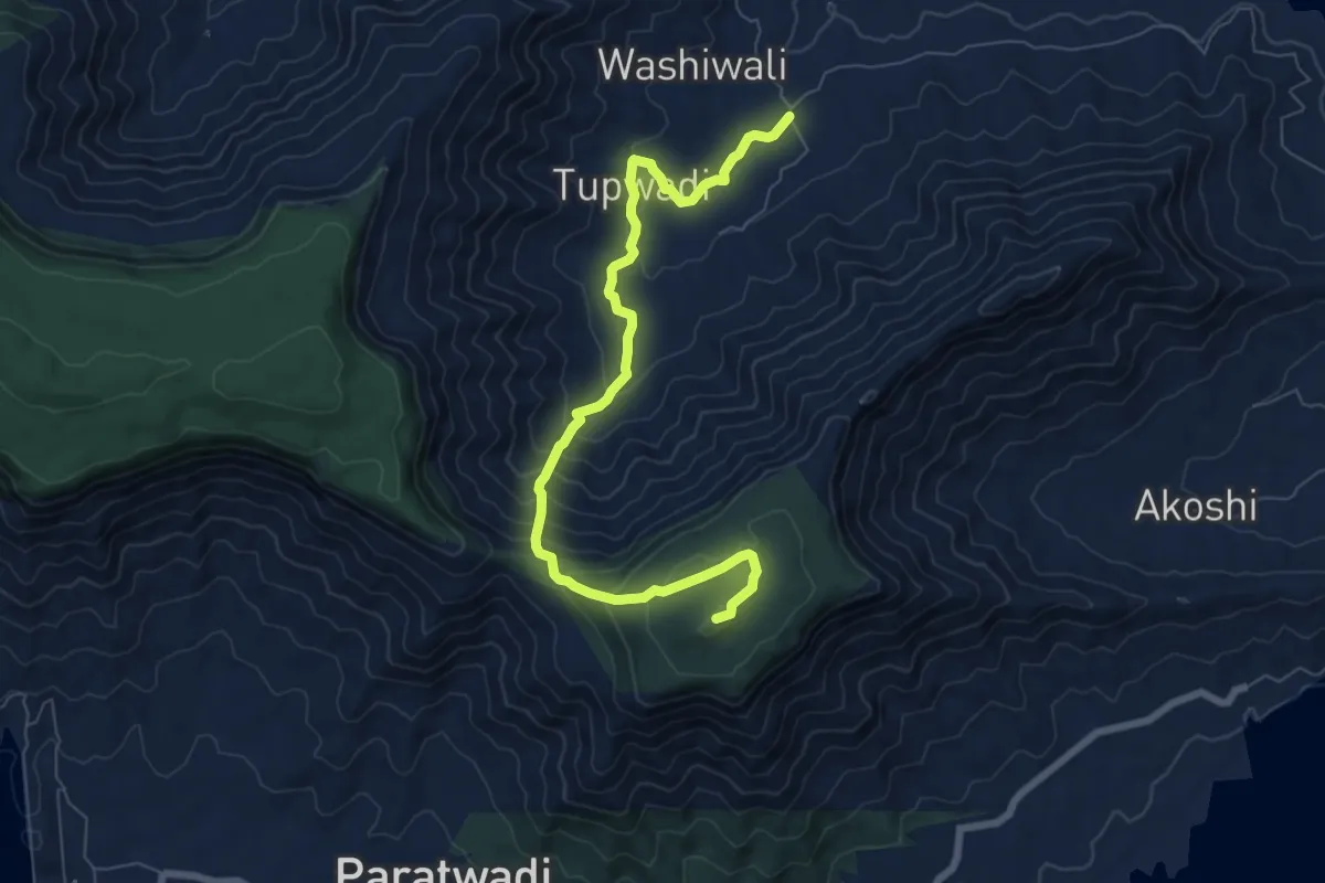
Medium · Trail
Kamalgad Fort
10.8 km · ↑ 615 m · 3 h 53 min · 12 km away
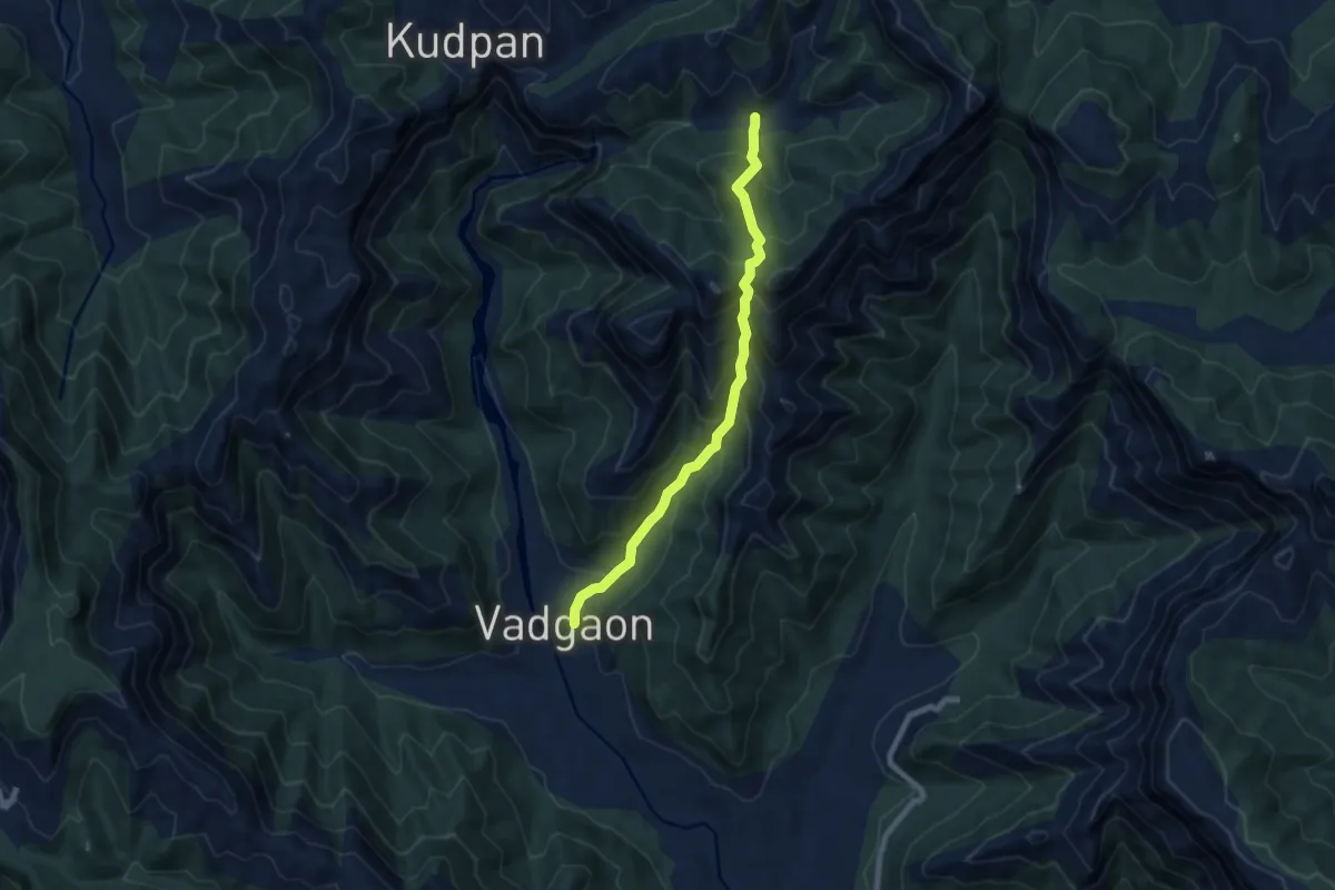
Demanding · Trail
Khindichi Vaat
9.8 km · ↑ 911 m · 4 h 17 min · 12 km away
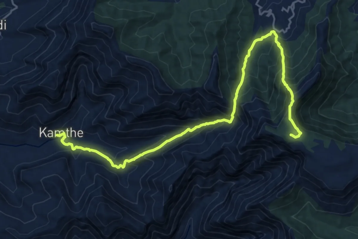
Medium · Trail
Aswal Khind to Kampta
10.5 km · ↑ 244 m · 3 h 43 min · 12 km away
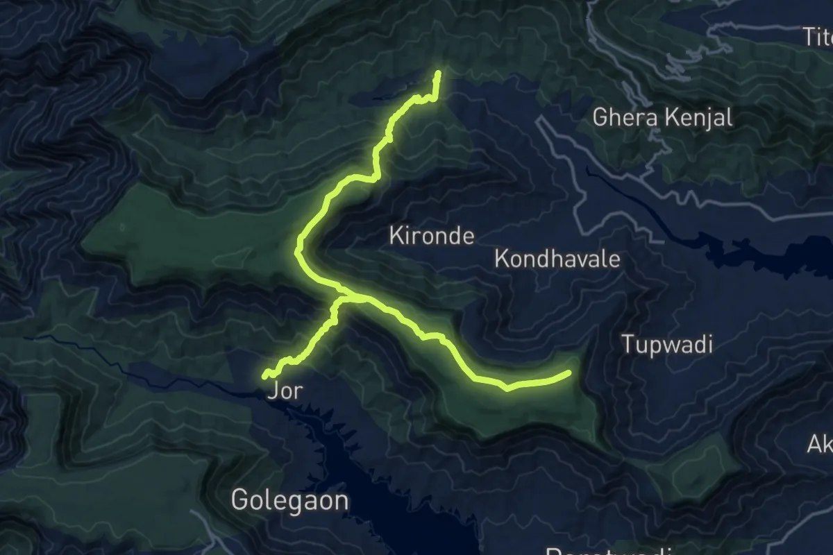
Medium · Trail
EST 36
17.4 km · ↑ 677 m · 5 h 48 min · 13 km away
Demanding · Trail
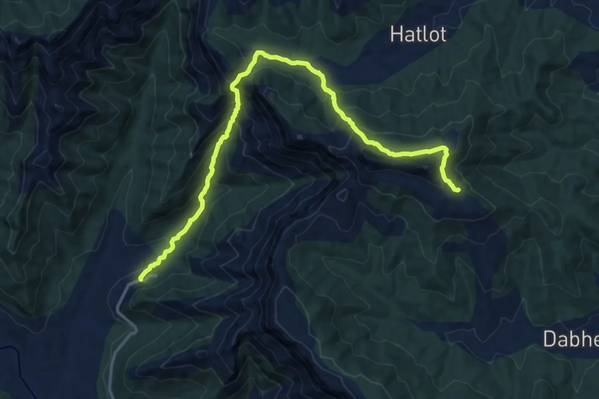
Hatlot Ghat
16.5 km · ↑ 1156 m · 6 h 24 min · 14 km away
Easy · Trail
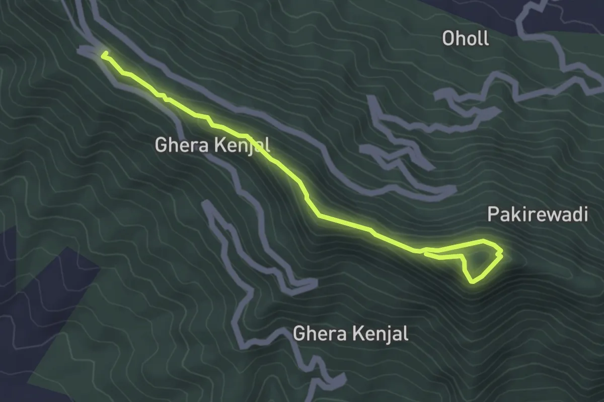
Kenjalgad Fort (Rayreshwar Parking)
5.4 km · ↑ 275 m · 1 h 52 min · 14 km away
Medium · Trail
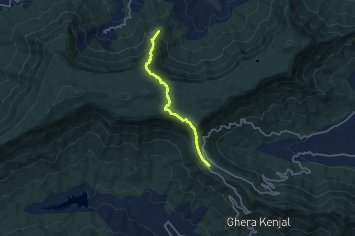
Rayreshwar to Kankwadi
8.2 km · ↑ 543 m · 3 h 7 min · 14 km away
Demanding · Trail
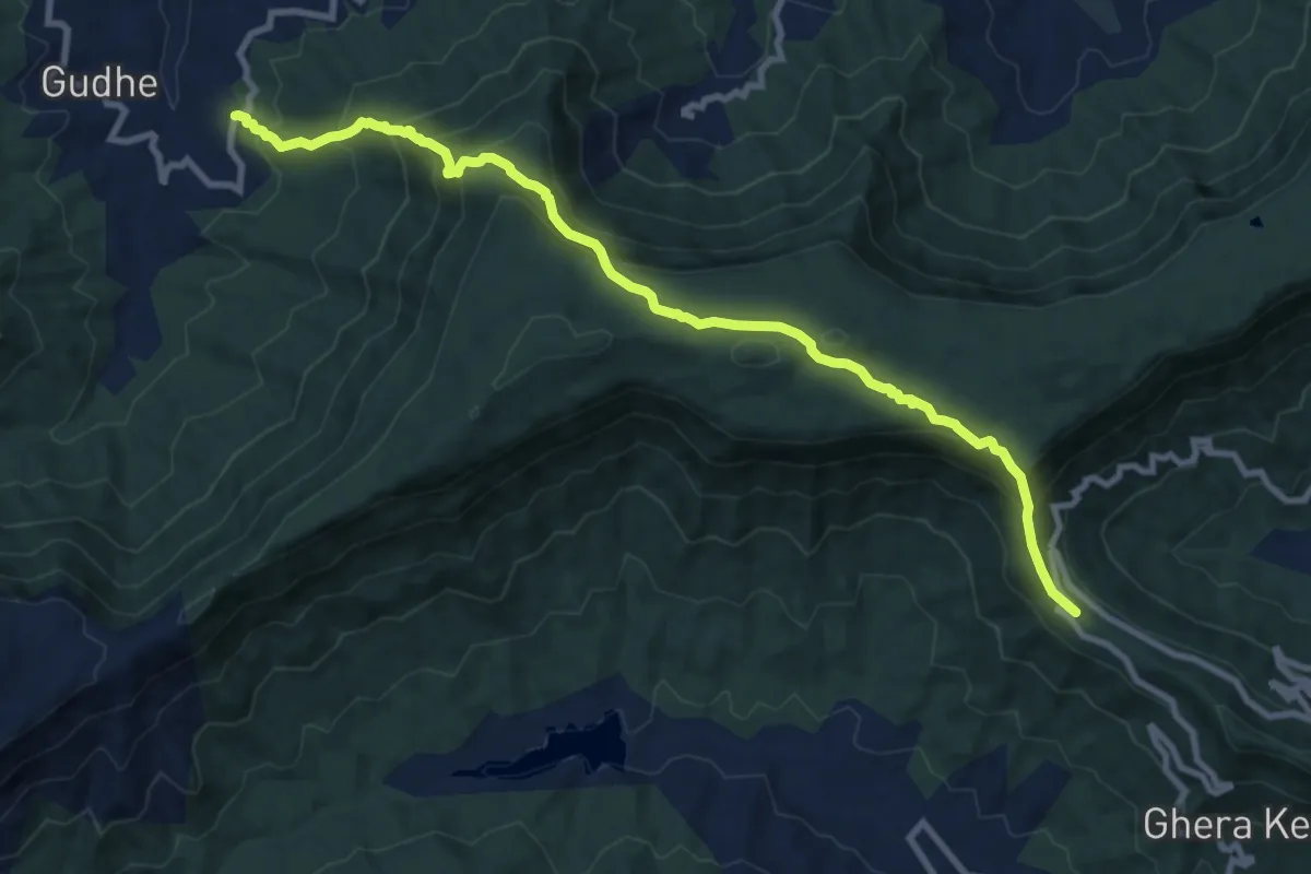
Rayreshwar to Nivangan
14.0 km · ↑ 931 m · 5 h 20 min · 14 km away
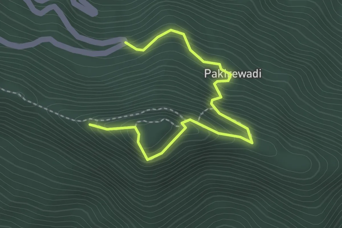
Easy · Trail
Kenjalgad Fort (Pakirewadi)
3.3 km · ↑ 298 m · 1 h 25 min · 15 km away