Trails near Agordo
114 hikes starting within 15 km, nearest first.
Nearest first, page 1 of 3
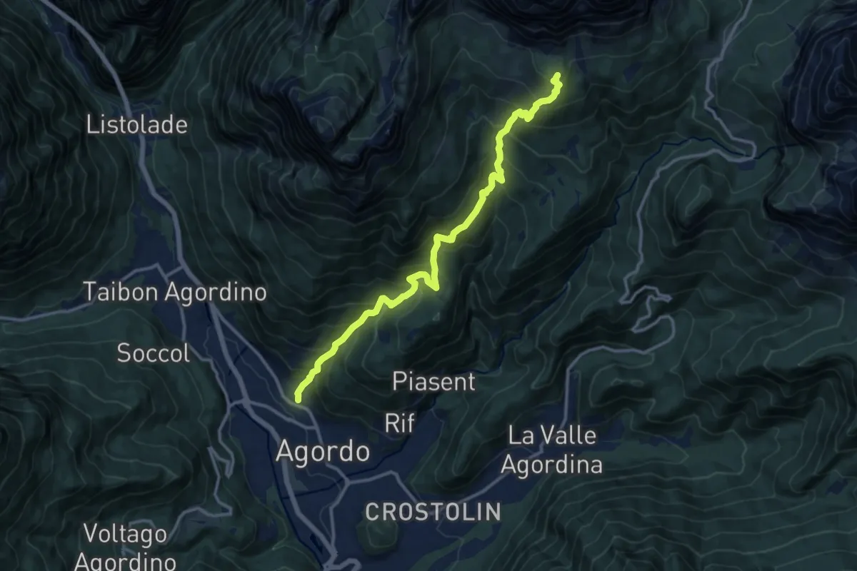
Demanding · Cabin
Agordo - Parech – Rifugio Carestiato
12.9 km · ↑ 1325 m · 5 h 55 min · 1 km away
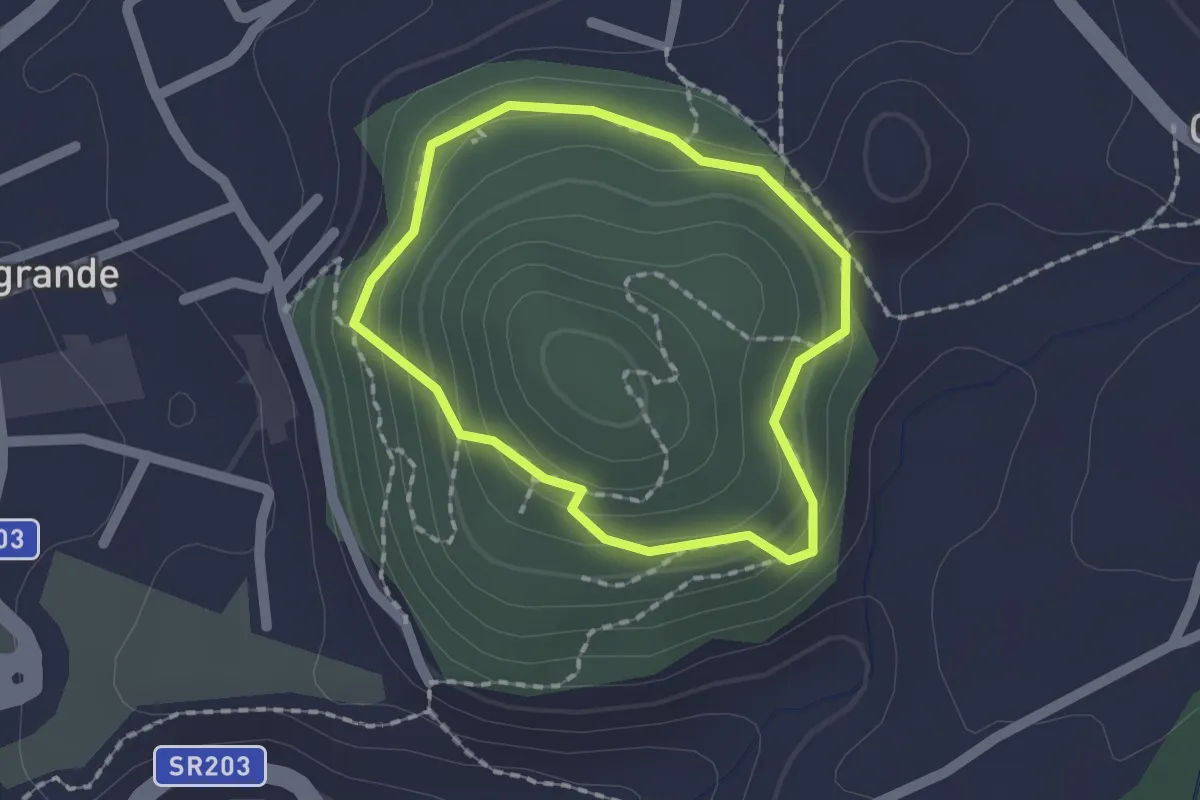
Easy · Summit
Anello del Col di Foglia
1.4 km · ↑ 112 m · 36 min · 1 km away
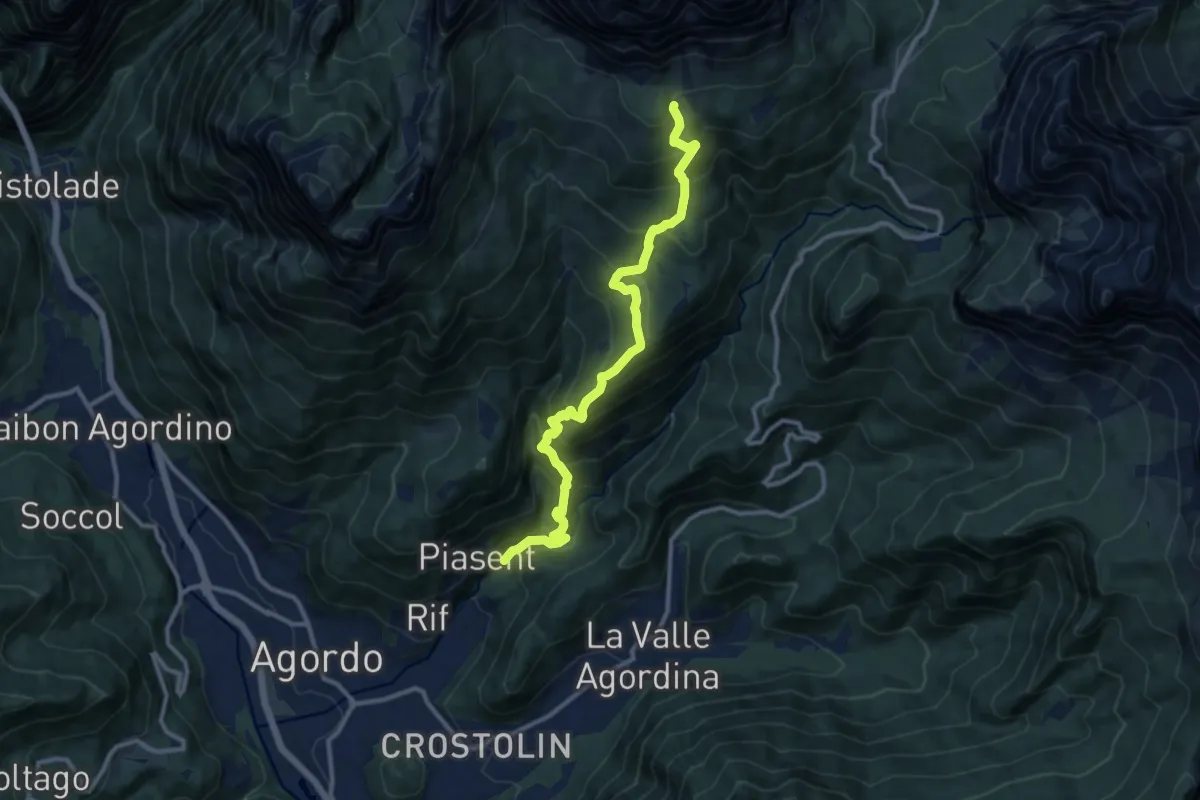
Demanding · Cabin
Agordo - Case Nadai – nei pressi Rif. Carestiato - inn. sent. 549
11.5 km · ↑ 1175 m · 5 h 16 min · 2 km away
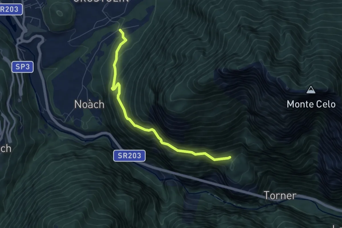
Medium · Trail
Cancellade – Roit - innesto sentiero n. 541to sentiero 541
6.9 km · ↑ 450 m · 2 h 37 min · 2 km away
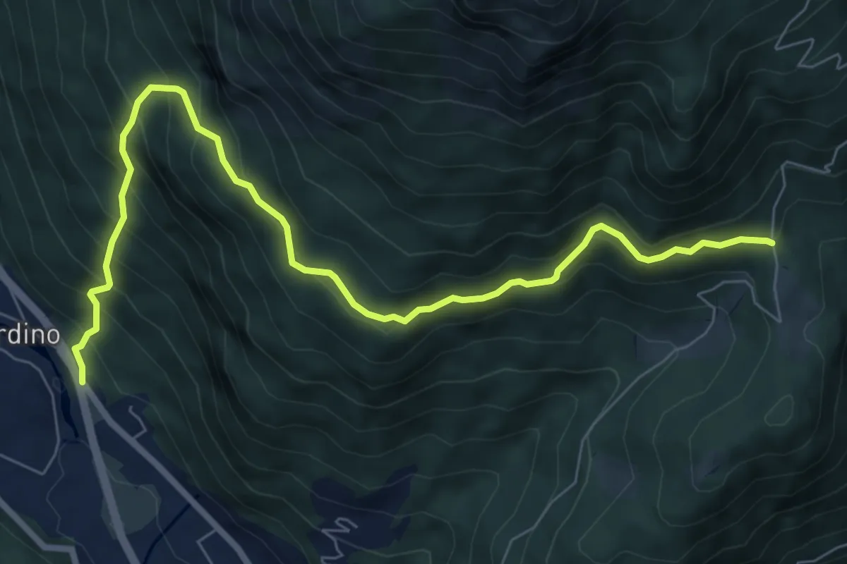
Medium · Trail
Taibon - San Cipriano – Case Campon - inn. sent. 548
8.5 km · ↑ 795 m · 3 h 43 min · 2 km away
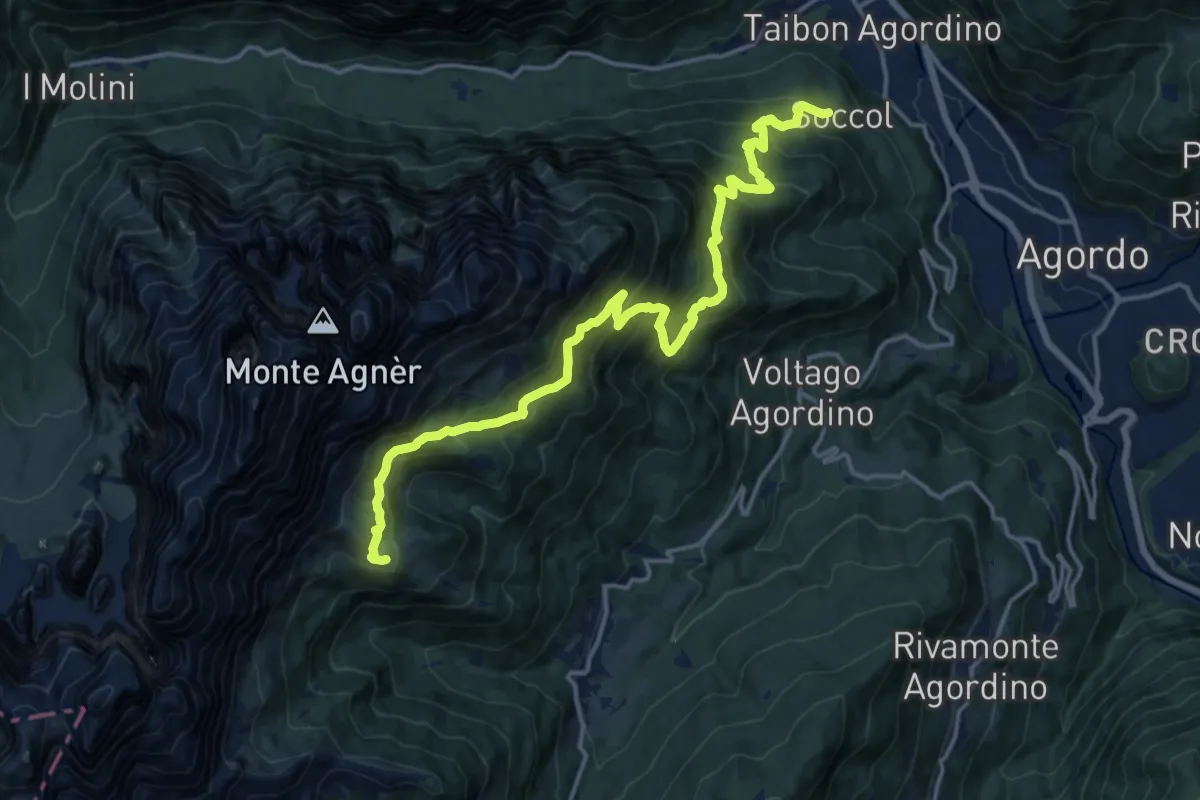
Demanding · Cabin
Soccol (quota 749 m) – Rifugio E. Scarpa (quota 1746)
17.5 km · ↑ 1309 m · 6 h 58 min · 2 km away
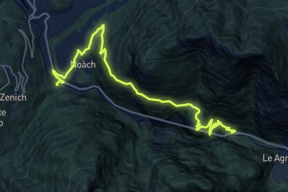
Medium · Pilgrim path
Cammino delle Dolomiti - Tappa 07b
8.2 km · ↑ 562 m · 3 h 17 min · 3 km away
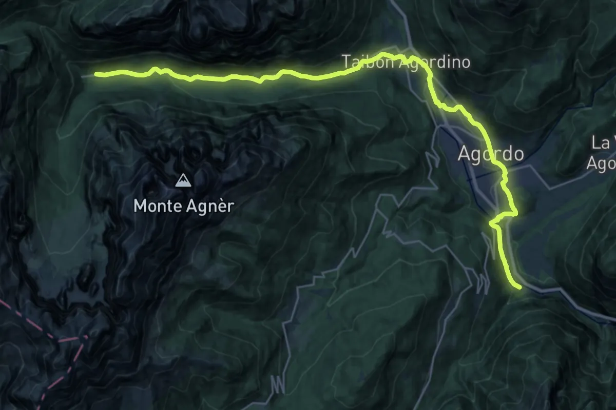
Medium · Pilgrim path
Cammino delle Dolomiti - Tappa 08
13.4 km · ↑ 397 m · 4 h 3 min · 3 km away
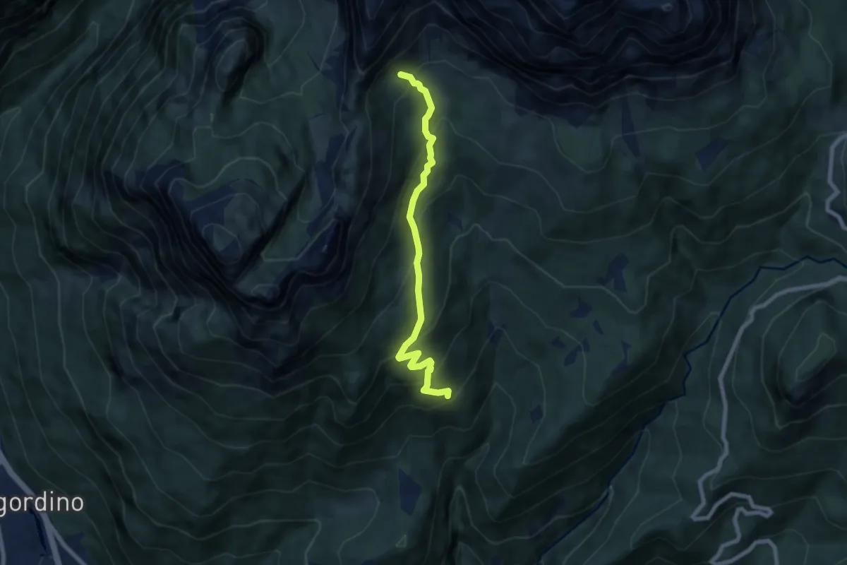
Medium · Trail
Pecole - da sent. 548 – Val dei Cantoi - inn. sent. 554
6.5 km · ↑ 519 m · 2 h 40 min · 3 km away
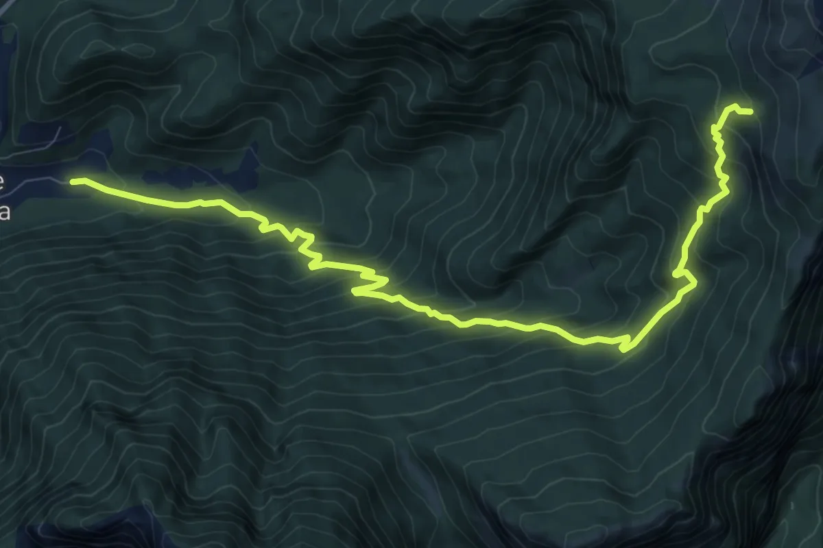
Demanding · Cabin
su strada per Malga Foca – nei pressi Malga Moschesin - innesto sentiero 543
12.1 km · ↑ 998 m · 5 h 1 min · 3 km away
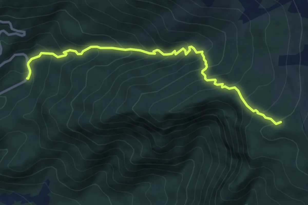
Medium · Trail
Le Cesurette – Prssi Malga Moschesin - inn. sent. 543
7.4 km · ↑ 713 m · 3 h 17 min · 4 km away
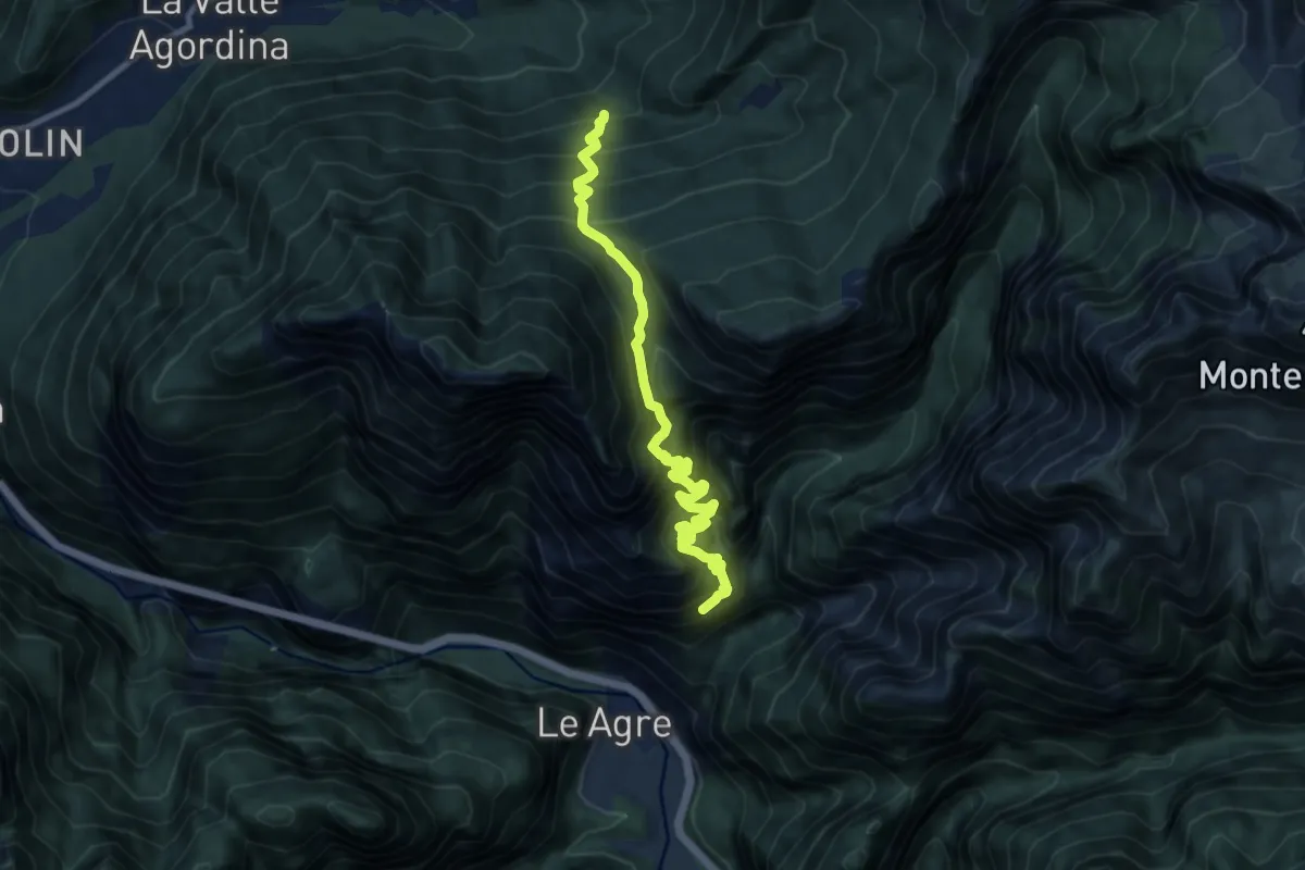
Demanding · Trail
Val Clusa - da sent. 546 – Madonna dei S'Ciar - inn. sent. 542
10.5 km · ↑ 2316 m · 7 h 30 min · 5 km away
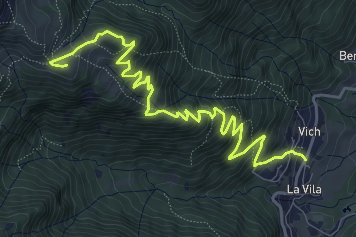
Medium · Cabin
Frassenè - strada per Domadore – Rifugio Scarpa
9.4 km · ↑ 660 m · 3 h 39 min · 5 km away
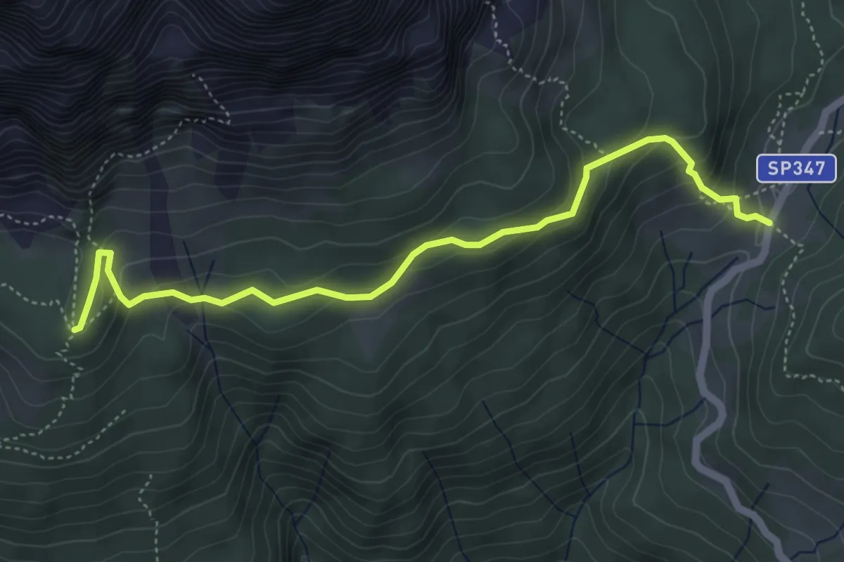
Medium · Cabin
Passo Duran – Rifugio Carestiato
5.1 km · ↑ 288 m · 1 h 50 min · 5 km away
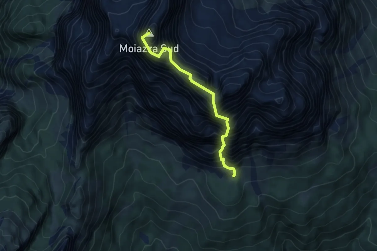
Demanding · Summit
Ferrata Gianni Costantini
5.1 km · ↑ 1141 m · 3 h 41 min · 5 km away
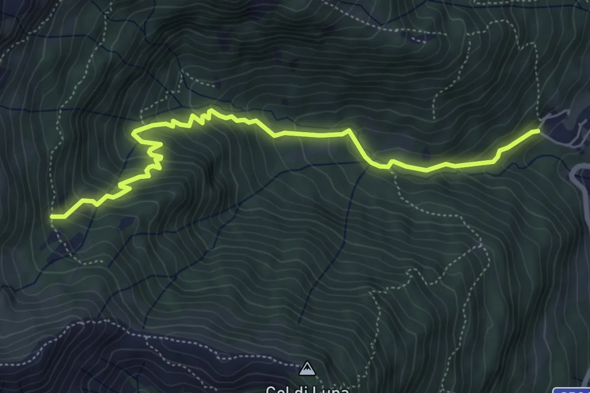
Medium · Trail
Frassenè strada per Domadore – Malga Luna (innesto sentiero 773)
6.1 km · ↑ 523 m · 2 h 34 min · 5 km away
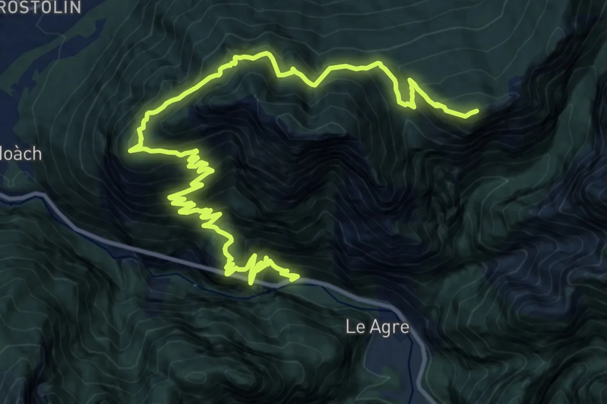
Demanding · Summit
Torner - S.R. 203 – Casera Moschesin - innesto sentiero 543
25.2 km · ↑ 2179 m · 10 h 41 min · 5 km away
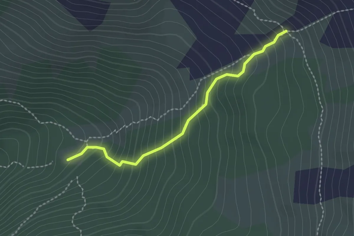
Medium · Trail
Malga La Roa da sent.544 – Alta Val Missiaga - inn. sent. 543
2.0 km · ↑ 251 m · 1 h 2 min · 6 km away
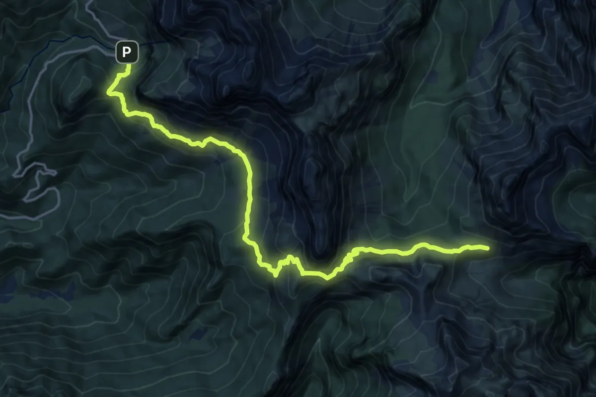
Demanding · Cabin
Rifugio Sommariva al Pramperet – Malga Caleda Vecchia
17.8 km · ↑ 1020 m · 6 h 25 min · 6 km away
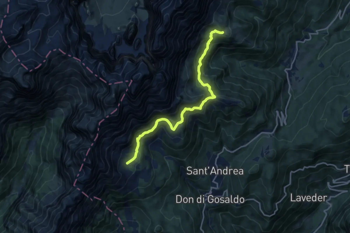
Medium · Cabin
Rifugio Scarpa - inn. 771 – Bivacco Menegazzi - inn. sent. 720
12.1 km · ↑ 620 m · 4 h 13 min · 6 km away
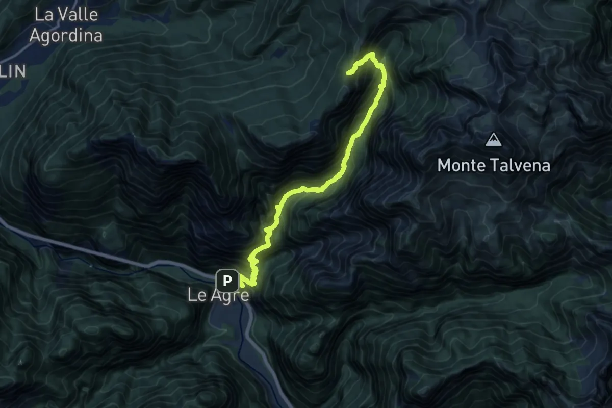
Demanding · Trail
La Muda – Forcella Scalabras - innesto percorso 541
14.7 km · ↑ 1872 m · 7 h 32 min · 7 km away
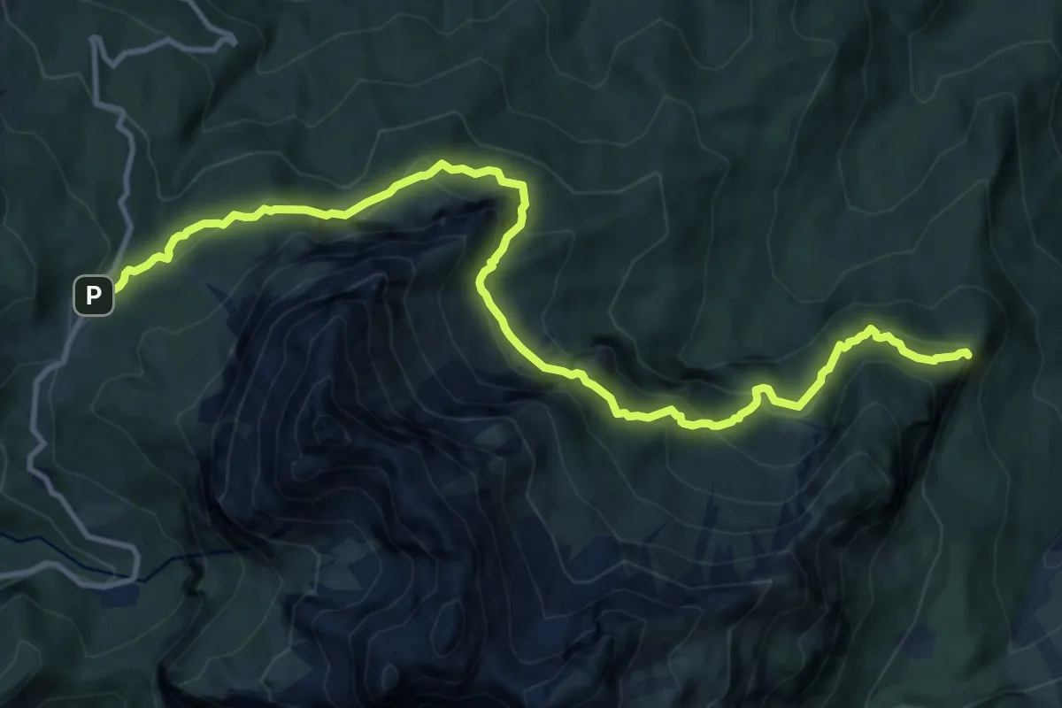
Demanding · Summit
Passo Duran – Pian dei Palui - inn. 523
13.5 km · ↑ 1194 m · 5 h 46 min · 7 km away
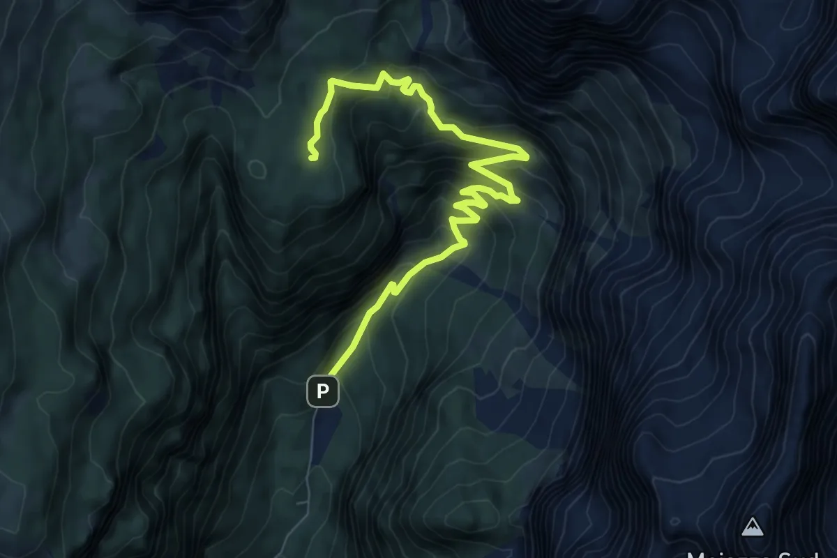
Medium · Cabin
Rifugio Capanna Trieste – Rifugio Vazzoler
8.4 km · ↑ 626 m · 3 h 21 min · 7 km away
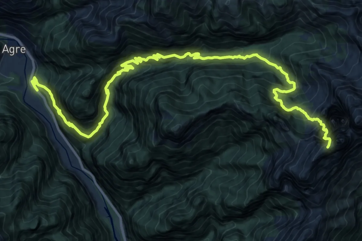
Expert · Summit
Loc. La Stanga – Rifugio 7° Alpini Pis Pilon
23.7 km · ↑ 2669 m · 11 h 23 min · 7 km away
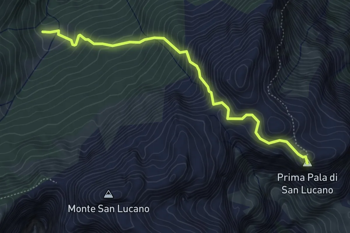
Medium · Summit
Forno di Val – Casera Rudolfin Alta
5.4 km · ↑ 645 m · 2 h 40 min · 8 km away
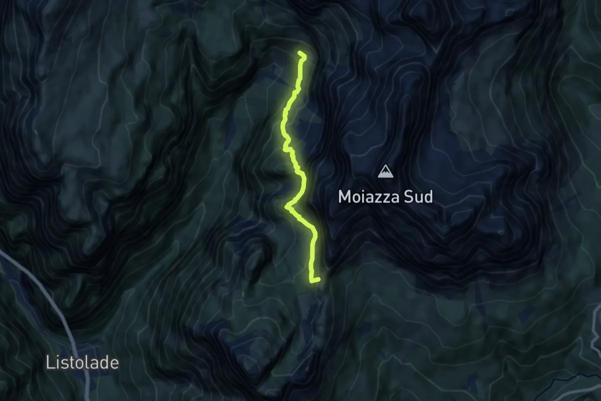
Demanding · Summit
Sentiero C.A.I. 554
7.6 km · ↑ 1070 m · 4 h 7 min · 8 km away
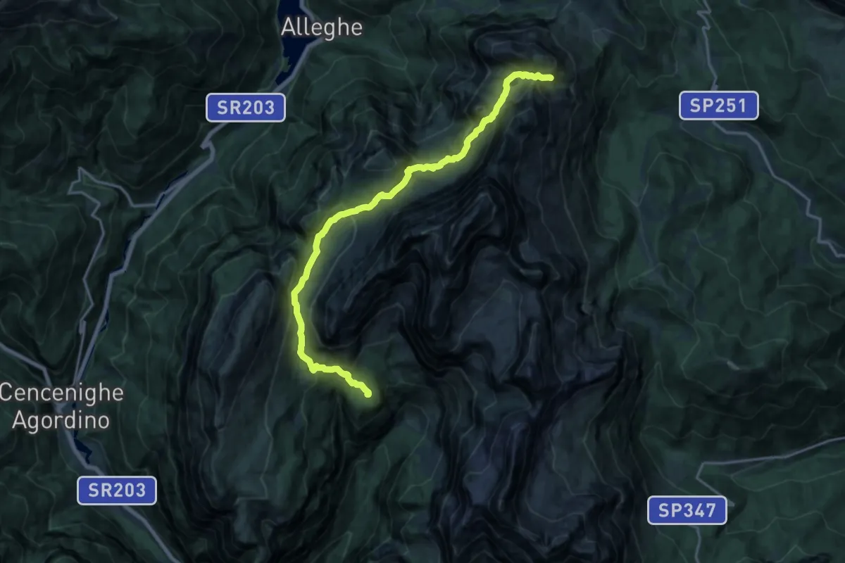
Demanding · Cabin
Rifugio Vazzoler – Rifugio Coldai
17.7 km · ↑ 1072 m · 6 h 31 min · 8 km away
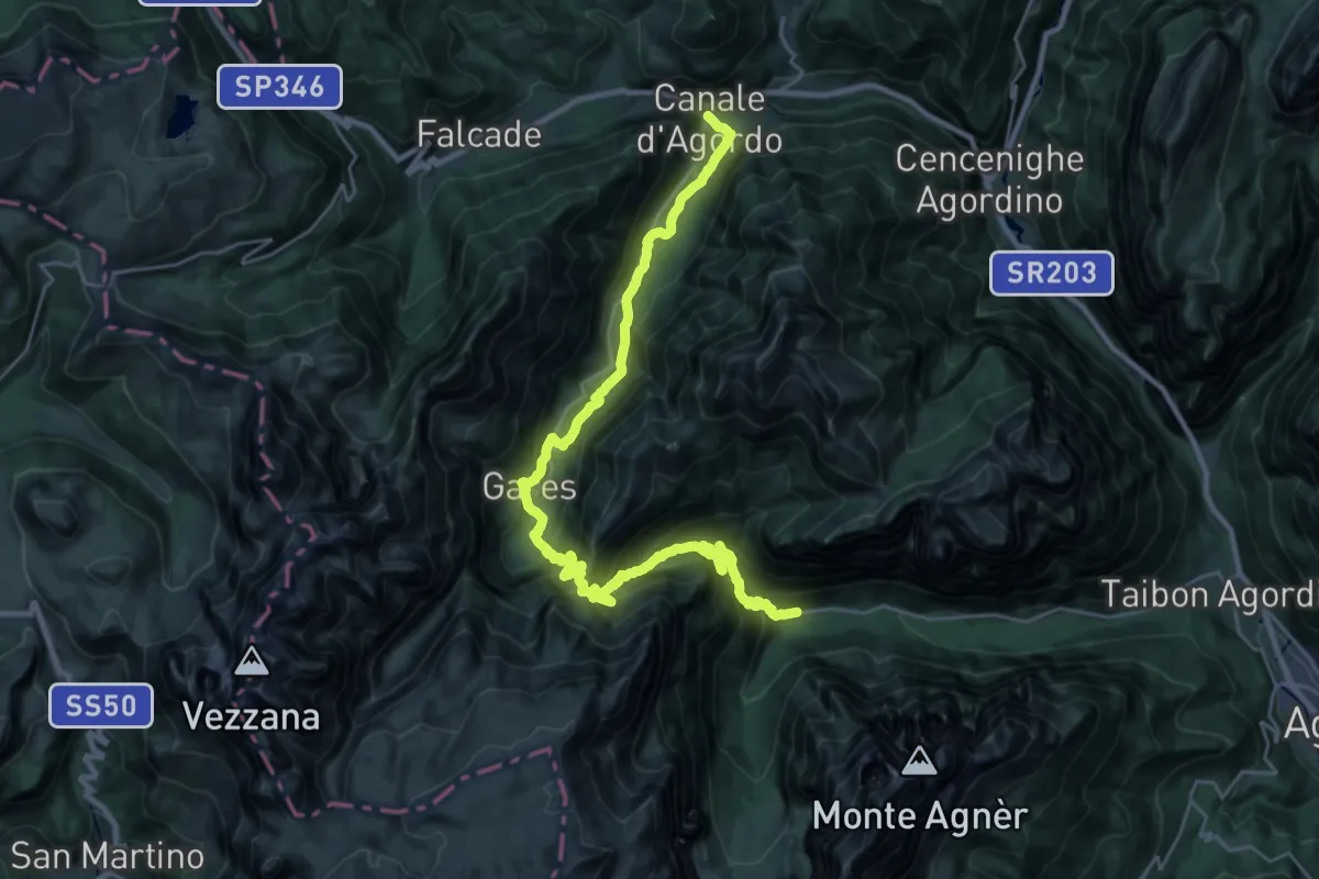
Demanding · Pilgrim path
Cammino delle Dolomiti - Tappa 09
15.9 km · ↑ 1081 m · 6 h 16 min · 8 km away
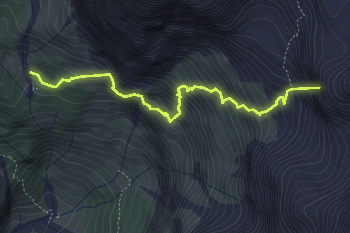
Demanding · Summit
sopra Forcella della Grava - da sent. 557 – Pian de le Taie - da sent. 555
4.4 km · ↑ 1142 m · 3 h 30 min · 8 km away
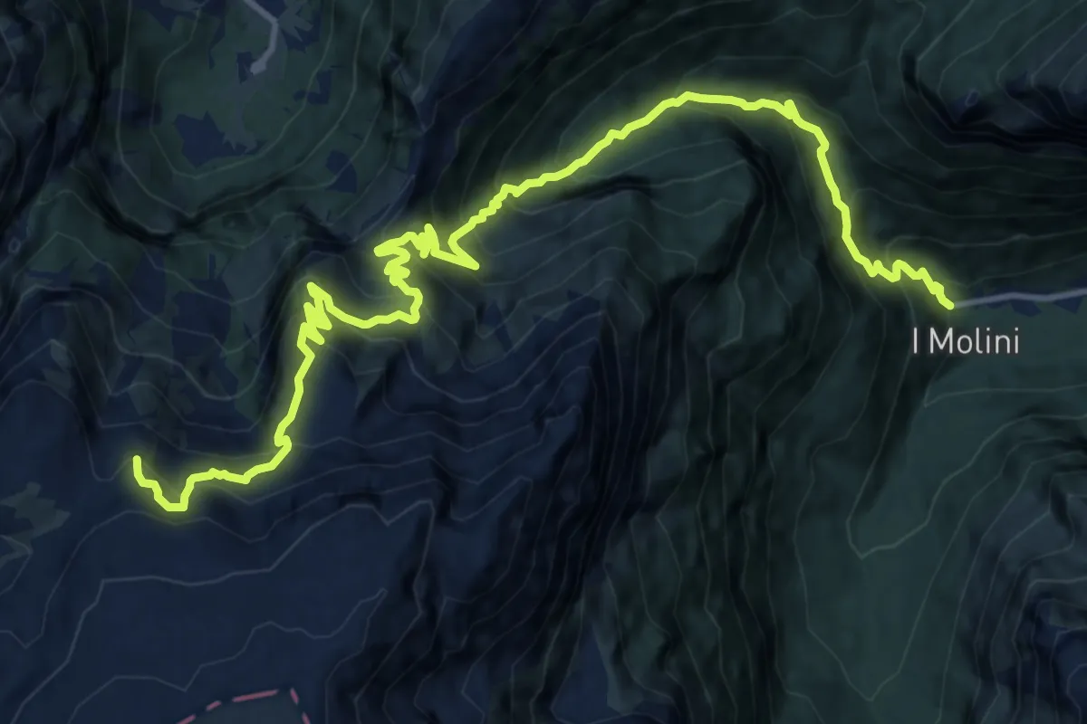
Demanding · Summit
Col di Pra - i Molini – Sella Antermarucol - innesto sentiero 756
17.5 km · ↑ 1695 m · 7 h 49 min · 8 km away
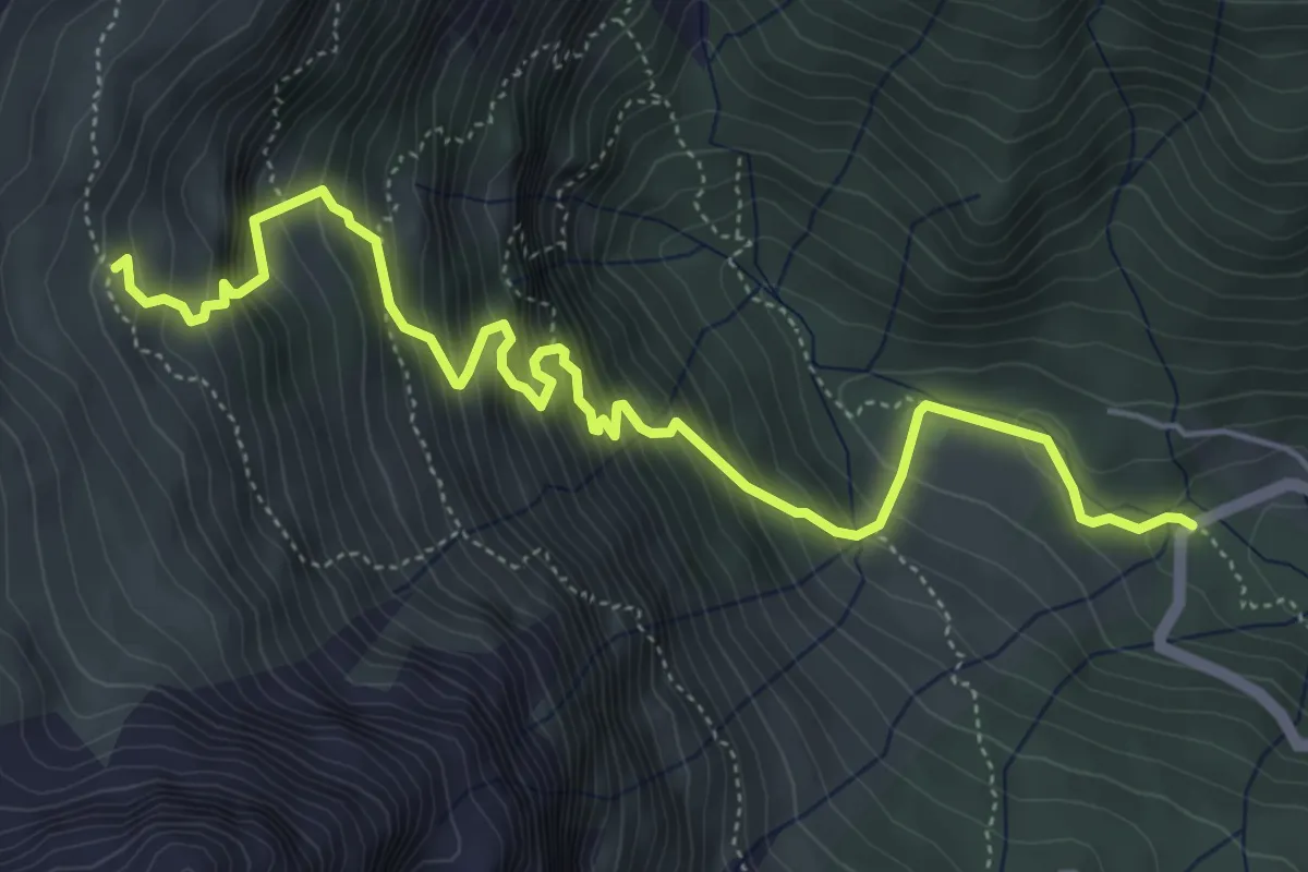
Medium · Trail
Le Vare - da S.P.347 – Bivacco Grisetti
6.3 km · ↑ 786 m · 3 h 11 min · 8 km away
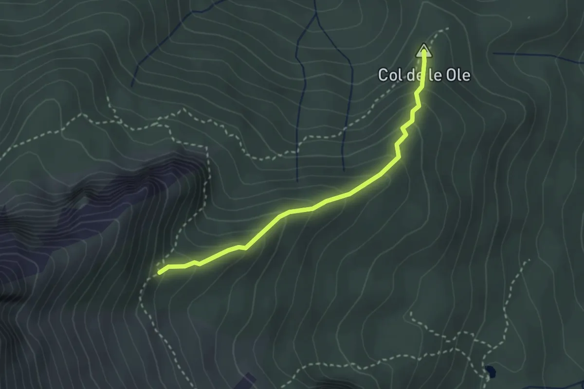
Medium · Summit
nei pressi di Colcerver – Forcella Val de le Barance - inn. sent. 536
2.7 km · ↑ 266 m · 1 h 13 min · 9 km away
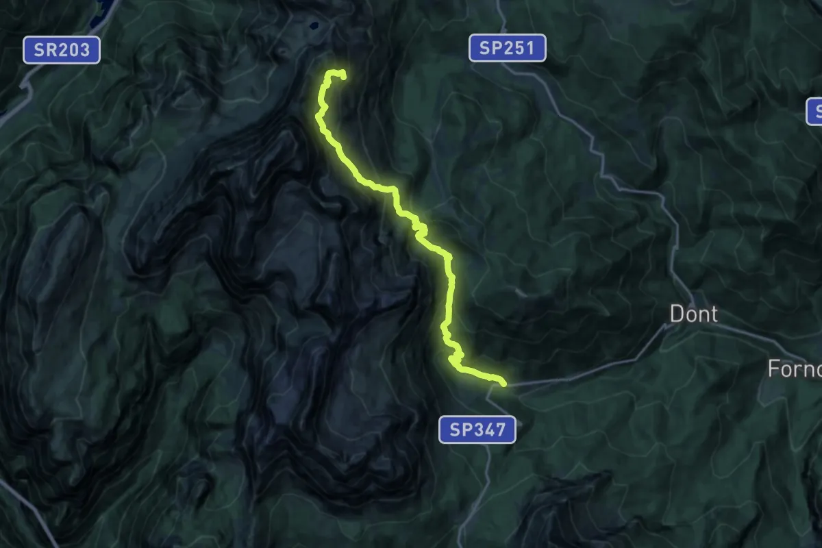
Demanding · Summit
Casera della Grava – Rifugio Coldai
17.2 km · ↑ 1516 m · 7 h 20 min · 9 km away
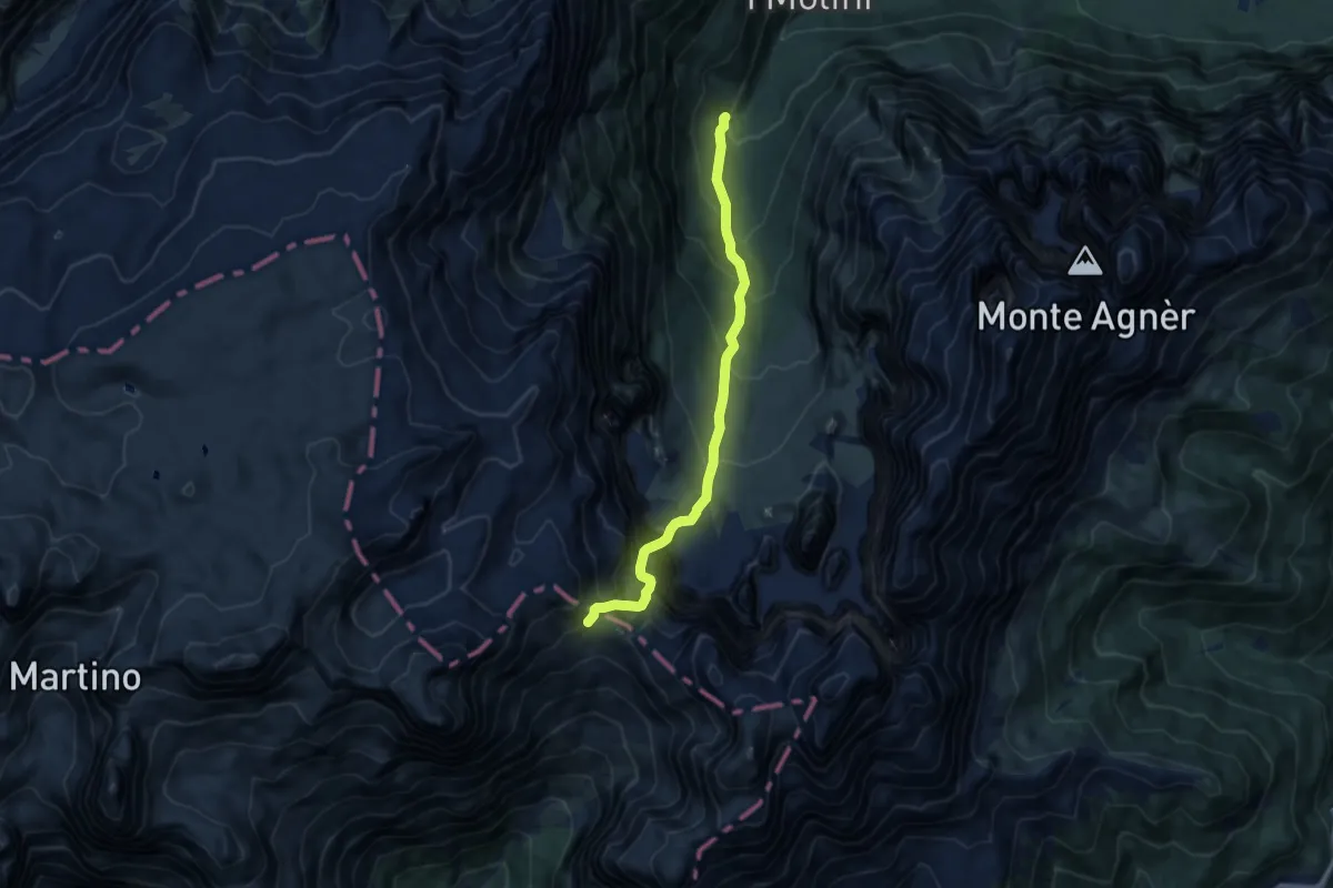
Expert · Trail
Col di Pra – Imbocco valle dell'orsa
8.8 km · ↑ 1354 m · 5 h 1 min · 9 km away
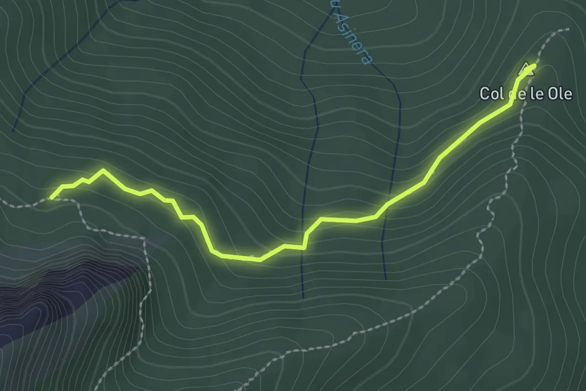
Medium · Summit
Col de le Ole – Col de le Buse
2.5 km · ↑ 139 m · 53 min · 9 km away
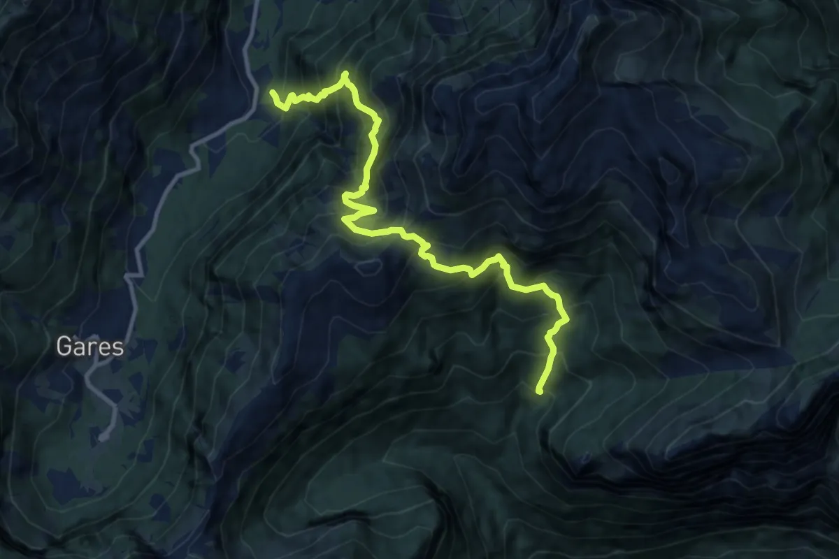
Demanding · Trail
Mezzavalle - Foita dei Vanediei – Val Malgonera - inn. sent. 764
10.9 km · ↑ 1381 m · 5 h 34 min · 9 km away
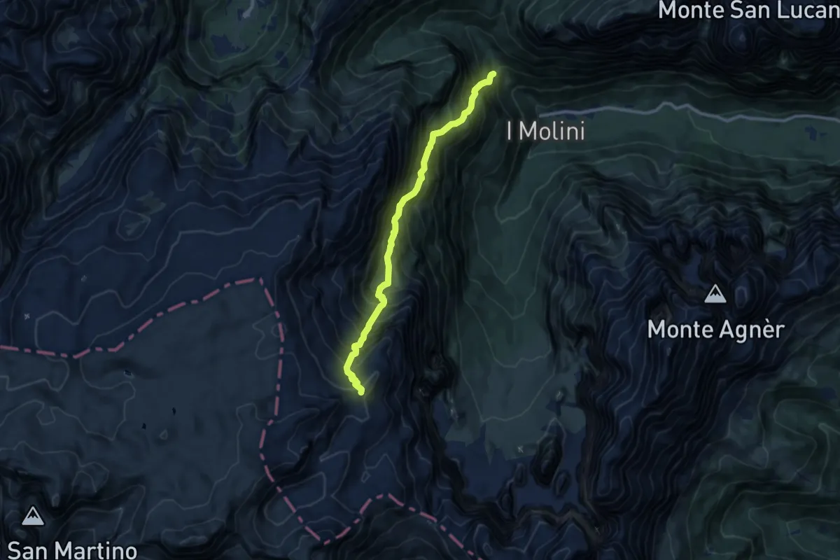
Demanding · Trail
Strada Col di Pra - Pont – Forcella del Miel - innesto sentiero 707
9.5 km · ↑ 1560 m · 5 h 38 min · 9 km away
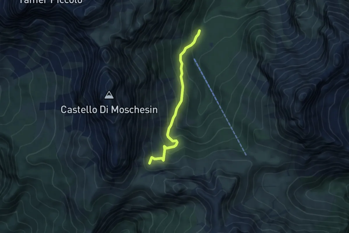
Medium · Trail
nei pressi Malga Pramper - da sentiero 523 – sotto Forcella Moschesin - innesto sentiero 543
4.9 km · ↑ 353 m · 1 h 55 min · 9 km away
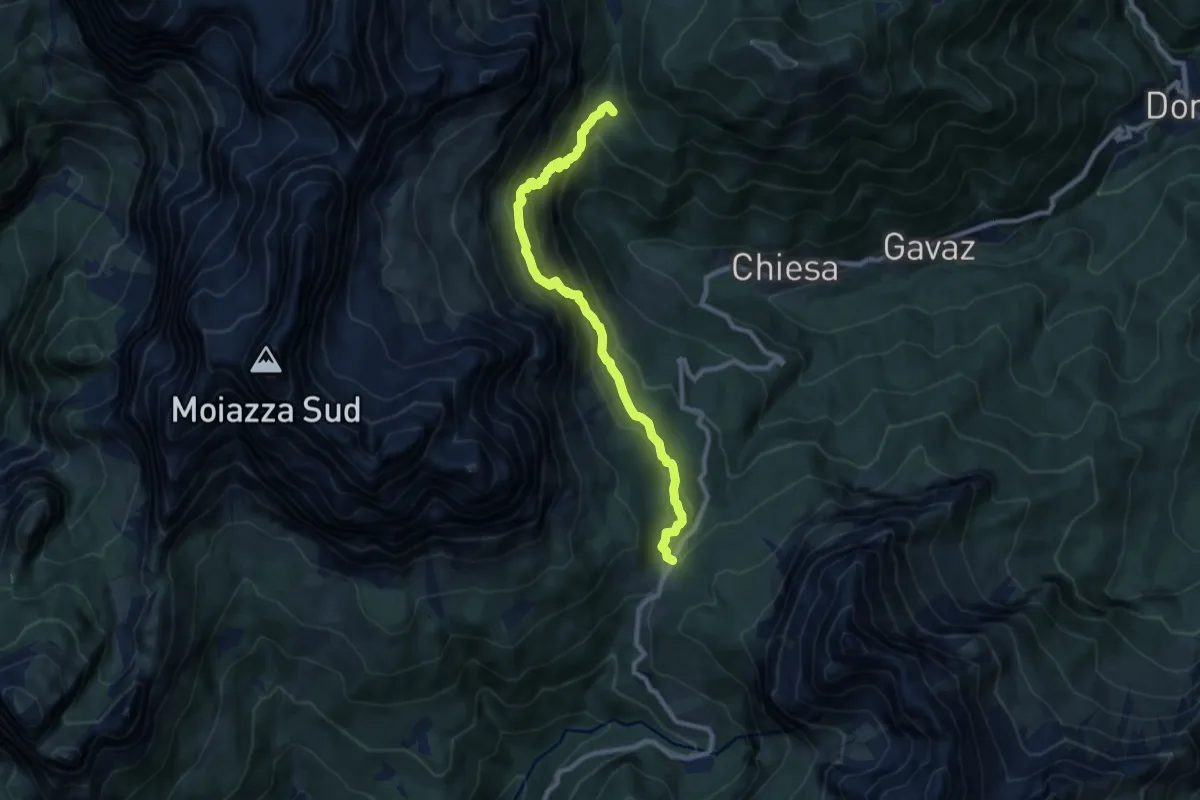
Medium · Cabin
Passo Duran - da S.P. 347 – Val de la Grava - inn. sen. 557
9.1 km · ↑ 680 m · 3 h 38 min · 9 km away
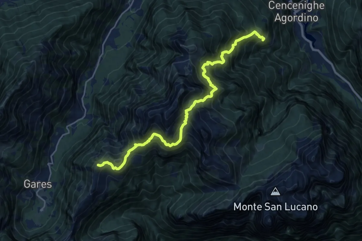
Demanding · Summit
Bogo – Forcella Cesurette
16.2 km · ↑ 1933 m · 8 h · 9 km away
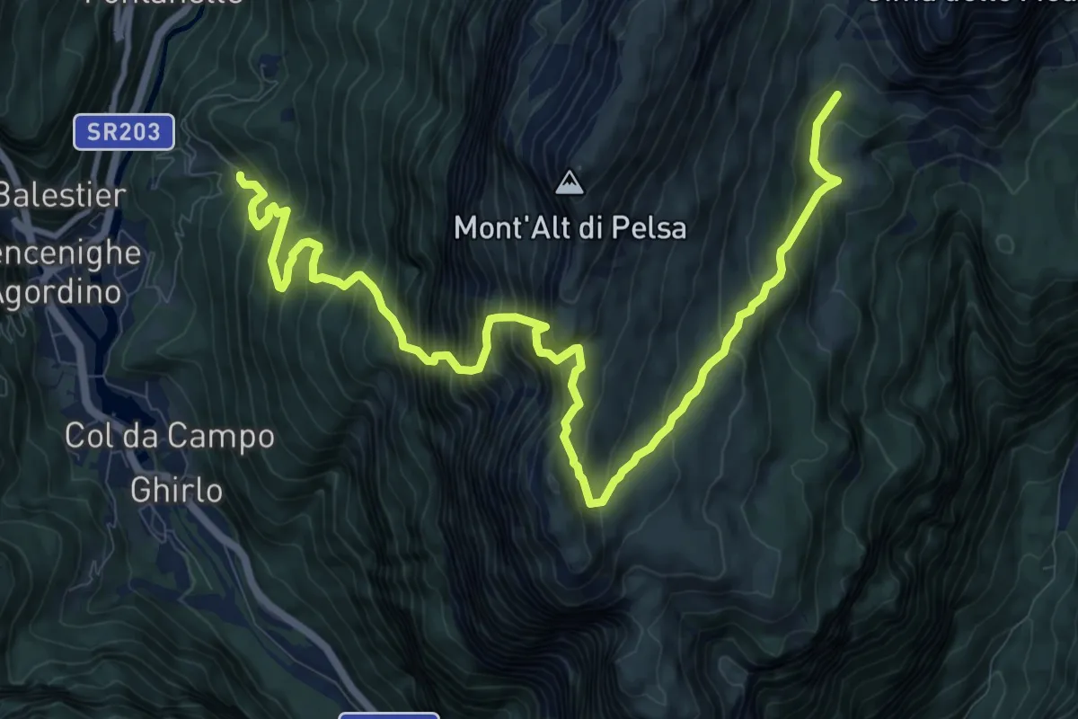
Expert · Trail
Cencenighe-Bastiani (quota 971) – Piani di Pelsa (quota 1914)
13.9 km · ↑ 1820 m · 7 h 13 min · 9 km away
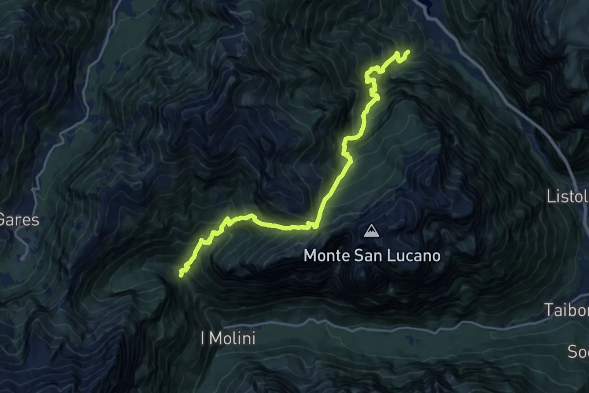
Demanding · Trail
Pra de Mez – Valle S. Lucano - Pont (cascata)
8.1 km · ↑ 930 m · 4 h 11 min · 9 km away
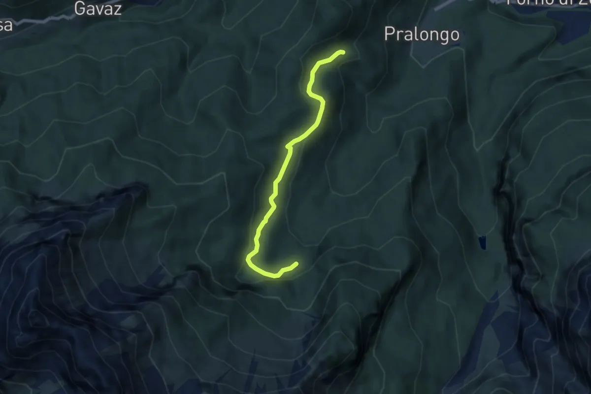
Easy · Trail
Colcerver – Crepe di Rondoi (inn. sent. 524)
6.1 km · ↑ 237 m · 1 h 57 min · 10 km away
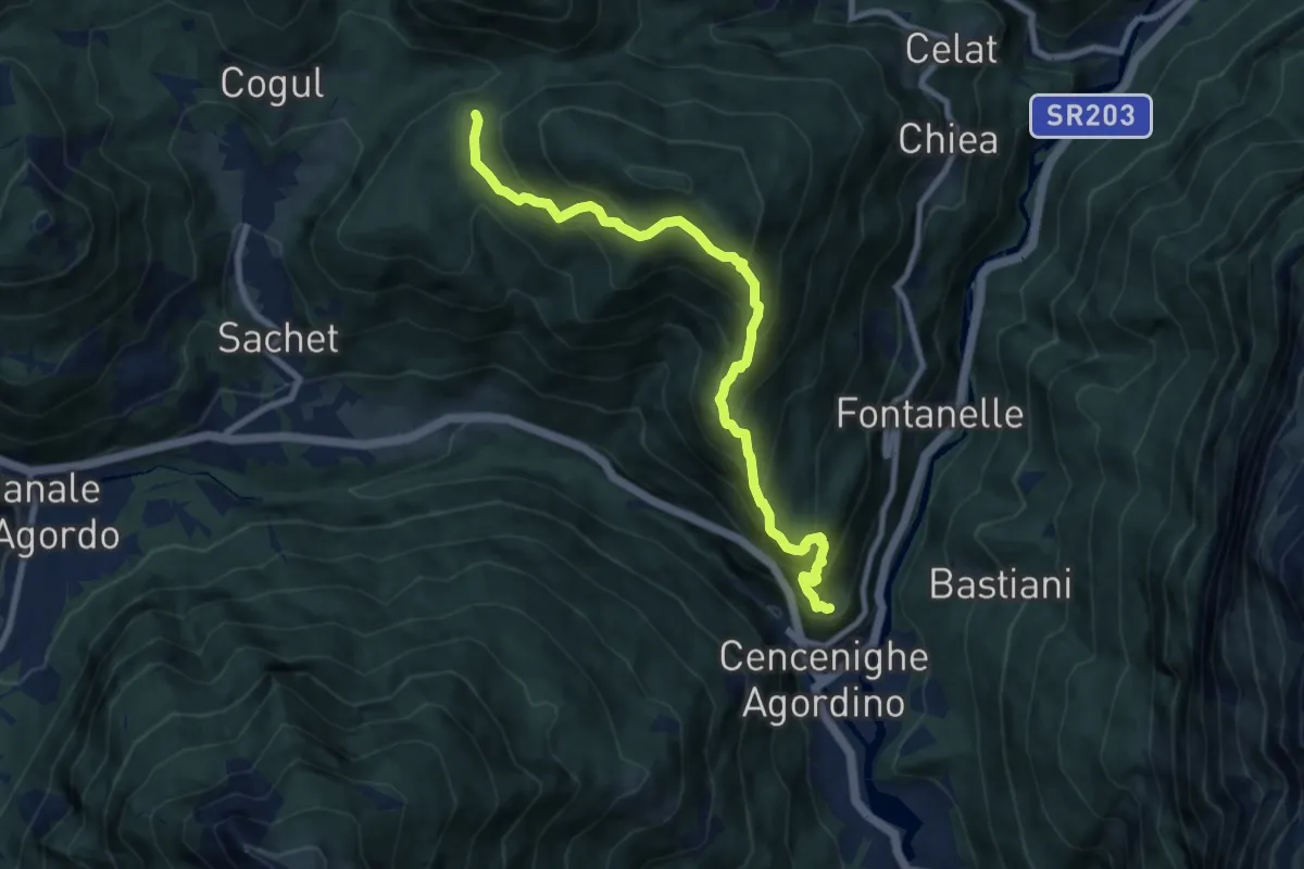
Demanding · Trail
Cencenicghe - Balestier – Bocche (ripetitore RAI)
8.9 km · ↑ 882 m · 4 h · 10 km away
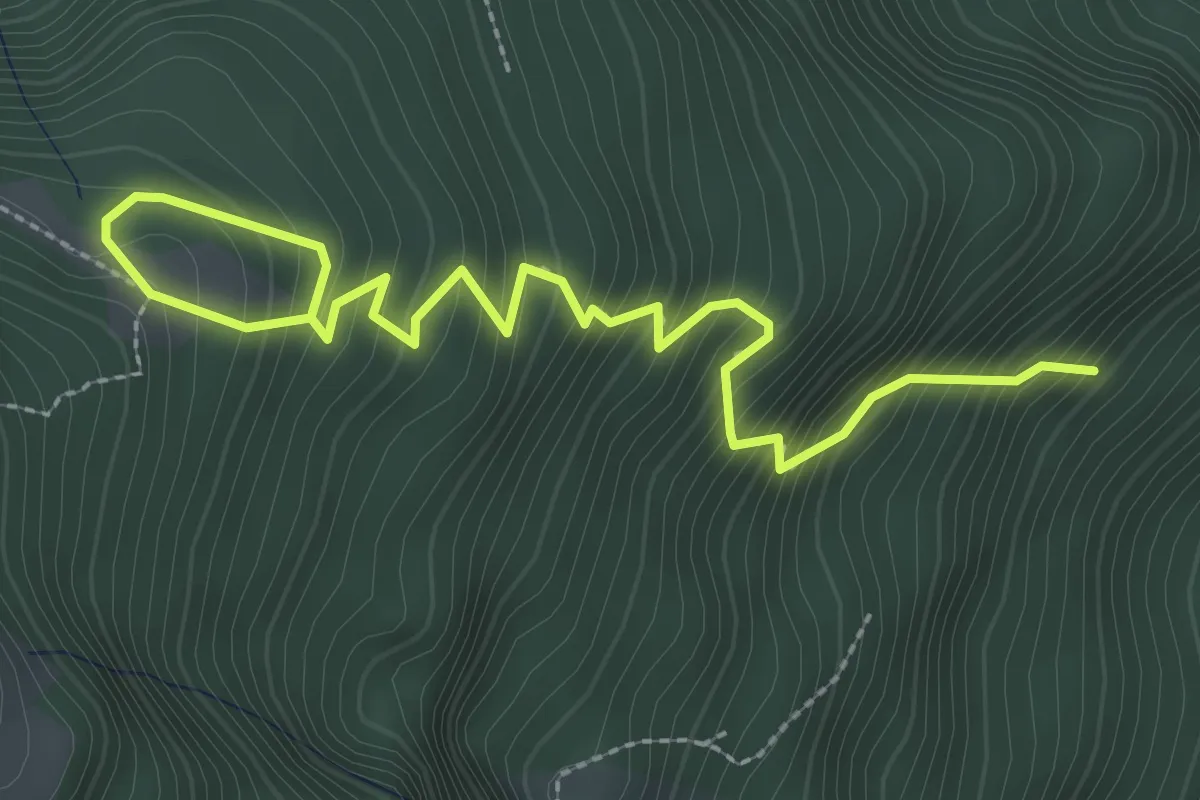
Medium · Cabin
Sentiero CAI 757
3.4 km · ↑ 424 m · 1 h 43 min · 10 km away
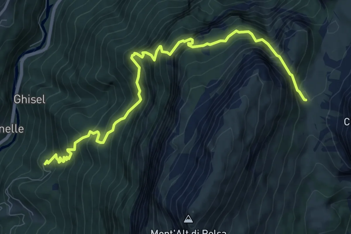
Demanding · Trail
Cencenighe - Collaz – Sella di Pelsa - inn. sent. 560
10.1 km · ↑ 1260 m · 5 h 7 min · 10 km away
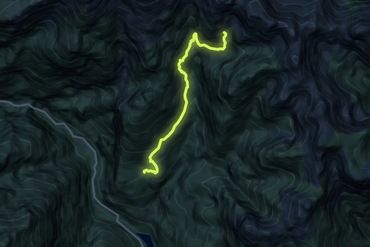
Demanding · Cabin
Gena Alta – Bivacco Valdo
7.5 km · ↑ 972 m · 3 h 53 min · 10 km away
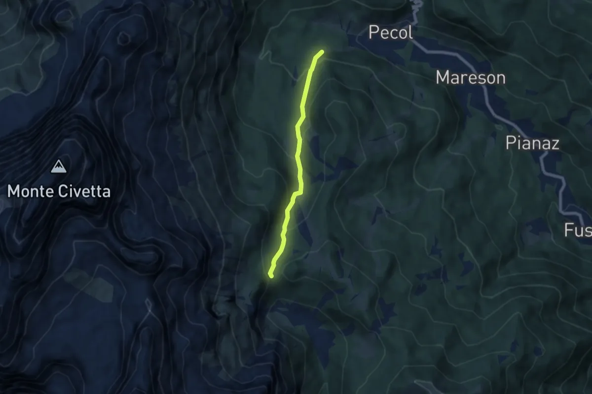
Medium · Trail
Pecol Casera dei Zorzi da sentiero 587 – Forcella della Grava innesto sentiero 557
5.3 km · ↑ 338 m · 1 h 59 min · 10 km away