Trails near Agordo
114 hikes starting within 15 km, nearest first.
Nearest first, page 2 of 3
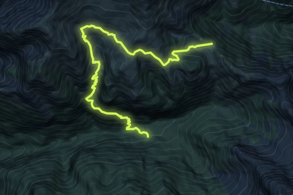
Demanding · Trail
Rifugio Bianchet – Forcella La Vareta - inn. sent. 514
11.2 km · ↑ 1182 m · 5 h 12 min · 10 km away
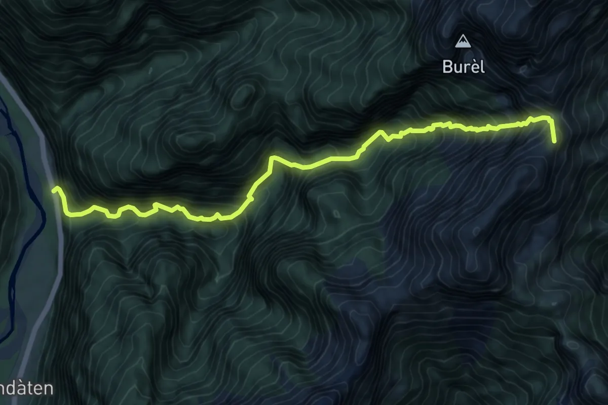
Demanding · Summit
Rifugio 7° Alpini Pis Pilon – La Stanga
9.5 km · ↑ 1669 m · 5 h 52 min · 11 km away
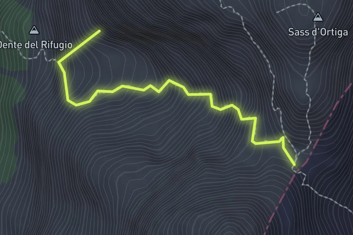
Medium · Summit
Rifugio Treviso (bivio 707 - 718) – Forcella delle Mughe
2.2 km · ↑ 633 m · 1 h 54 min · 11 km away
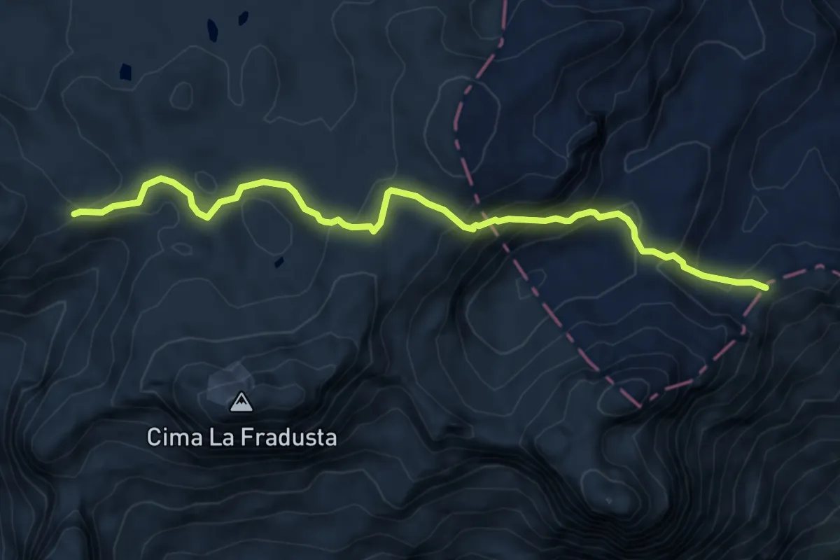
Medium · Trail
Passo Canali (bivio 707) – Passo Pradidali basso (bivio 709)
7.0 km · ↑ 384 m · 2 h 29 min · 11 km away
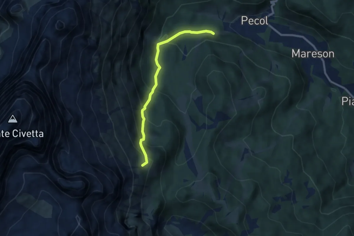
Medium · Trail
Pecol-Casera del Zorzi – Col Grant - inn. sent. 557
5.8 km · ↑ 496 m · 2 h 26 min · 11 km away
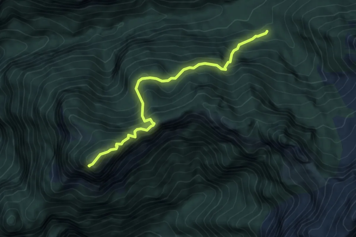
Medium · Summit
sopra Rifugio Bianchet - da sentiero 503 – Monte Coro
6.1 km · ↑ 685 m · 2 h 56 min · 11 km away
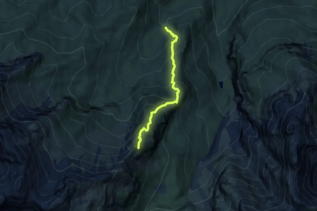
Demanding · Summit
Valle de La Malisia – Cima di Petorgnon
5.9 km · ↑ 783 m · 3 h 5 min · 11 km away
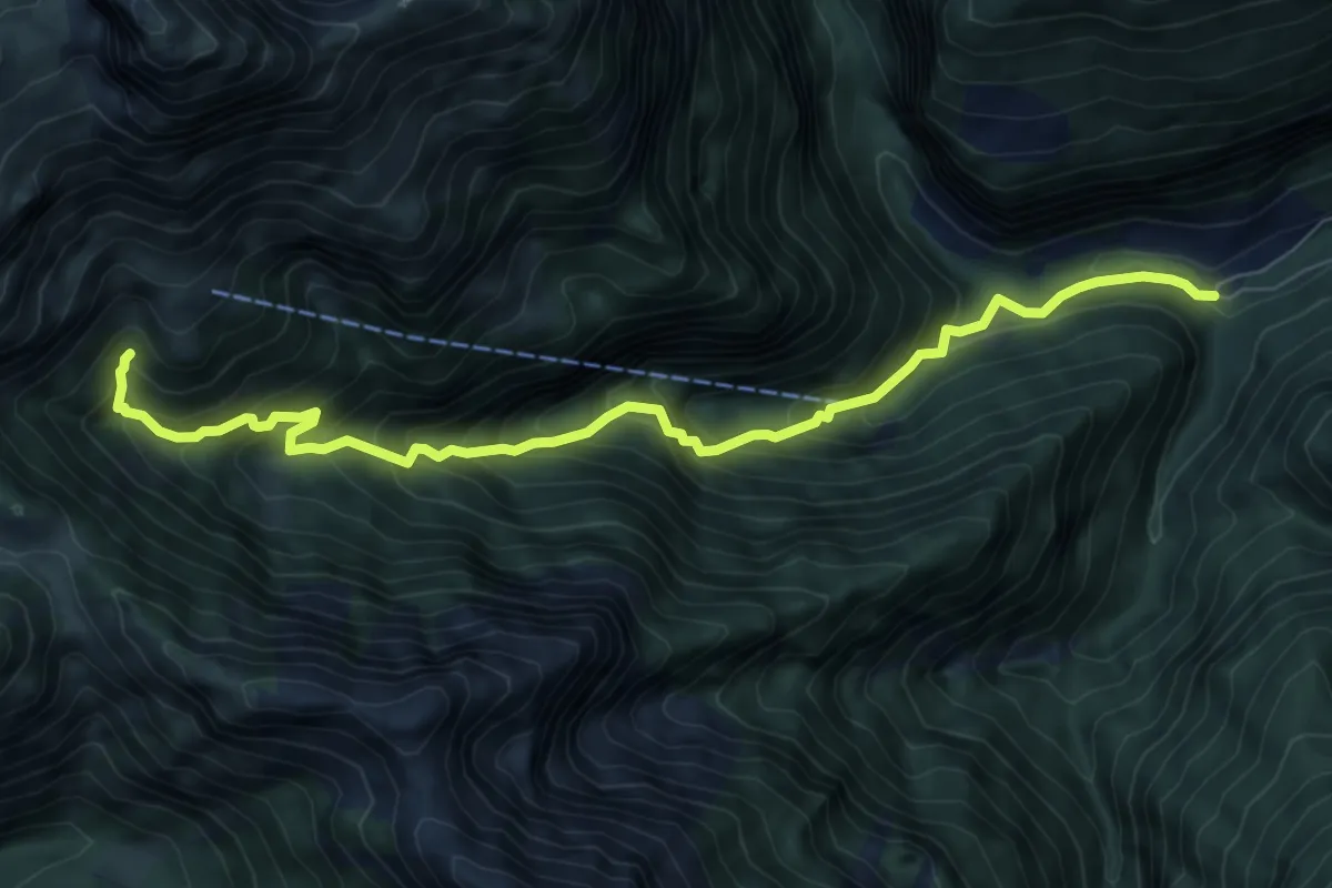
Demanding · Trail
Soffranco - Pont de la Costa Granda – sotto Rifugio Pian de Fontana - innesto percorso 514
8.3 km · ↑ 888 m · 3 h 53 min · 11 km away
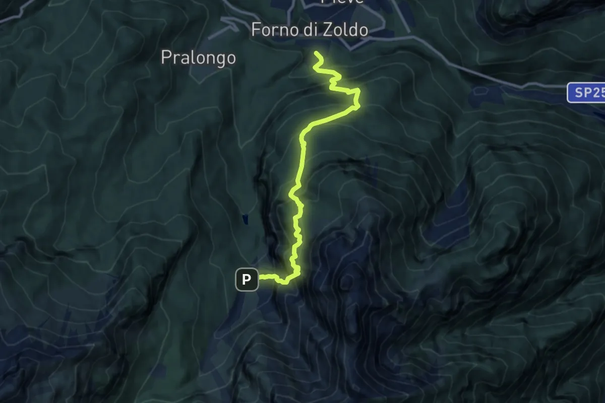
Demanding · Trail
Baron-Fain – Pian de la Fopa - inn. sent. 523
9.7 km · ↑ 1222 m · 4 h 57 min · 11 km away
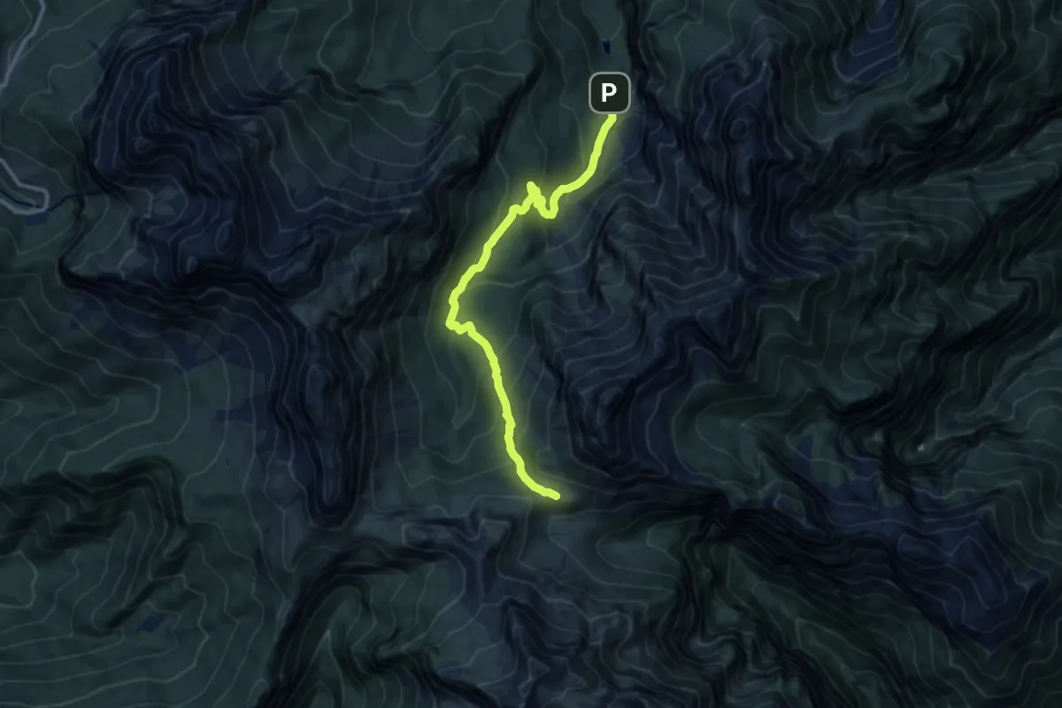
Medium · Trail
Val Pramper-Pian de la Fopa – Rif. Sommariva al Pramperet - inn. sent. 543
11.3 km · ↑ 715 m · 4 h 13 min · 11 km away
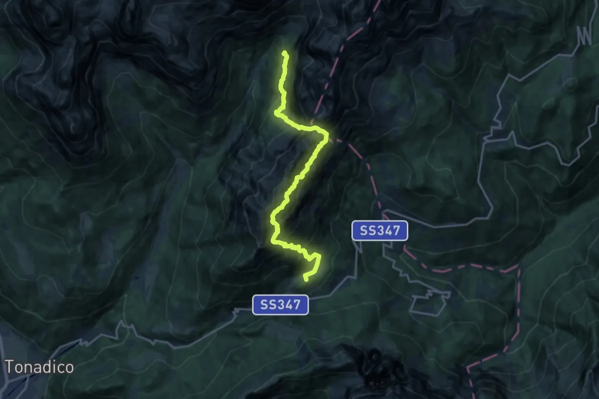
Demanding · Summit
Sentiero attrezzato delle Regade
14.3 km · ↑ 2077 m · 7 h 53 min · 11 km away
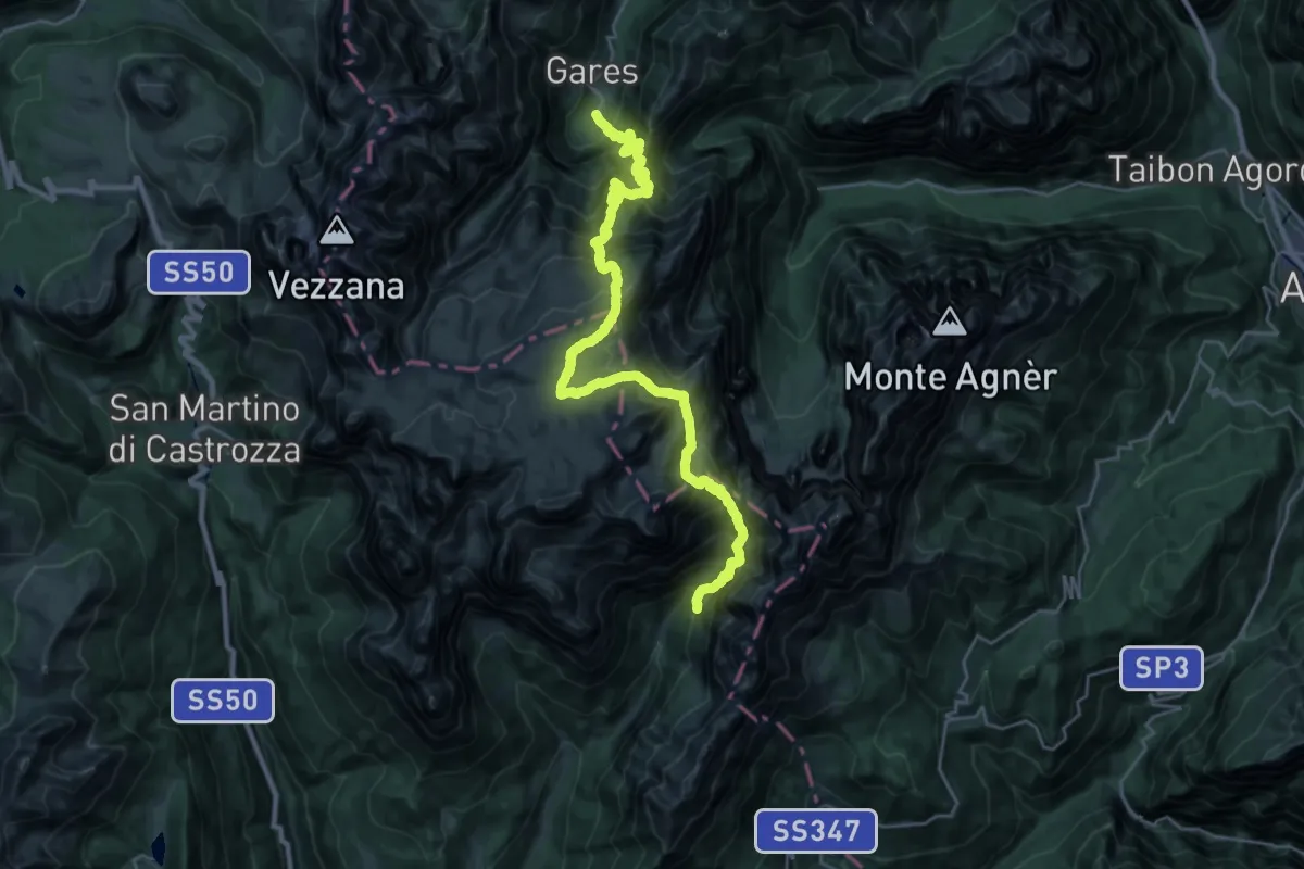
Demanding · Cabin
Dolomites World Heritage Geotrail 37
15.4 km · ↑ 1289 m · 6 h 46 min · 11 km away
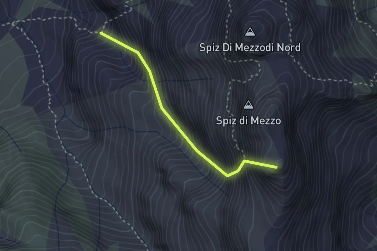
Demanding · Summit
Val Pramper-Pian de la Fopa - da sent. 534 – Bivacco Carnielli-De Marchi
2.3 km · ↑ 848 m · 2 h 23 min · 11 km away
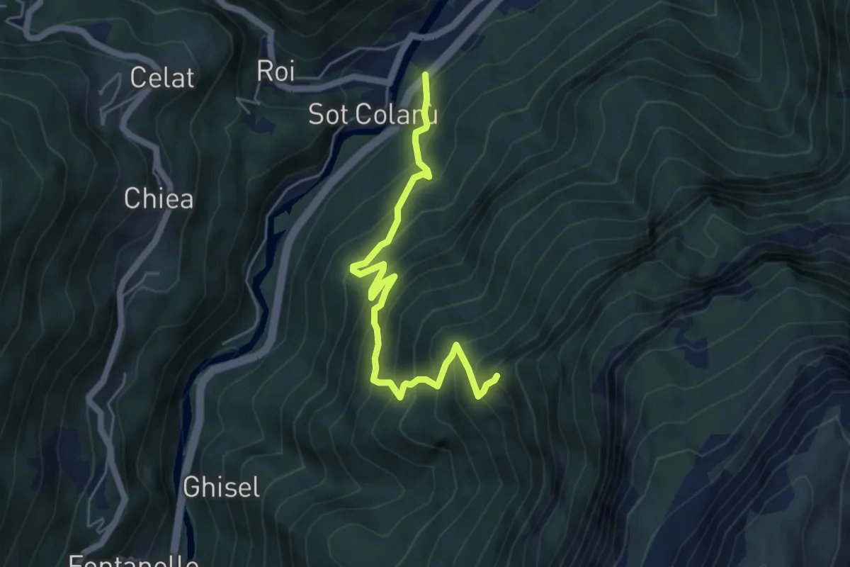
Medium · Trail
Le Vare – innesto sentiero n. 567
5.2 km · ↑ 696 m · 2 h 44 min · 12 km away
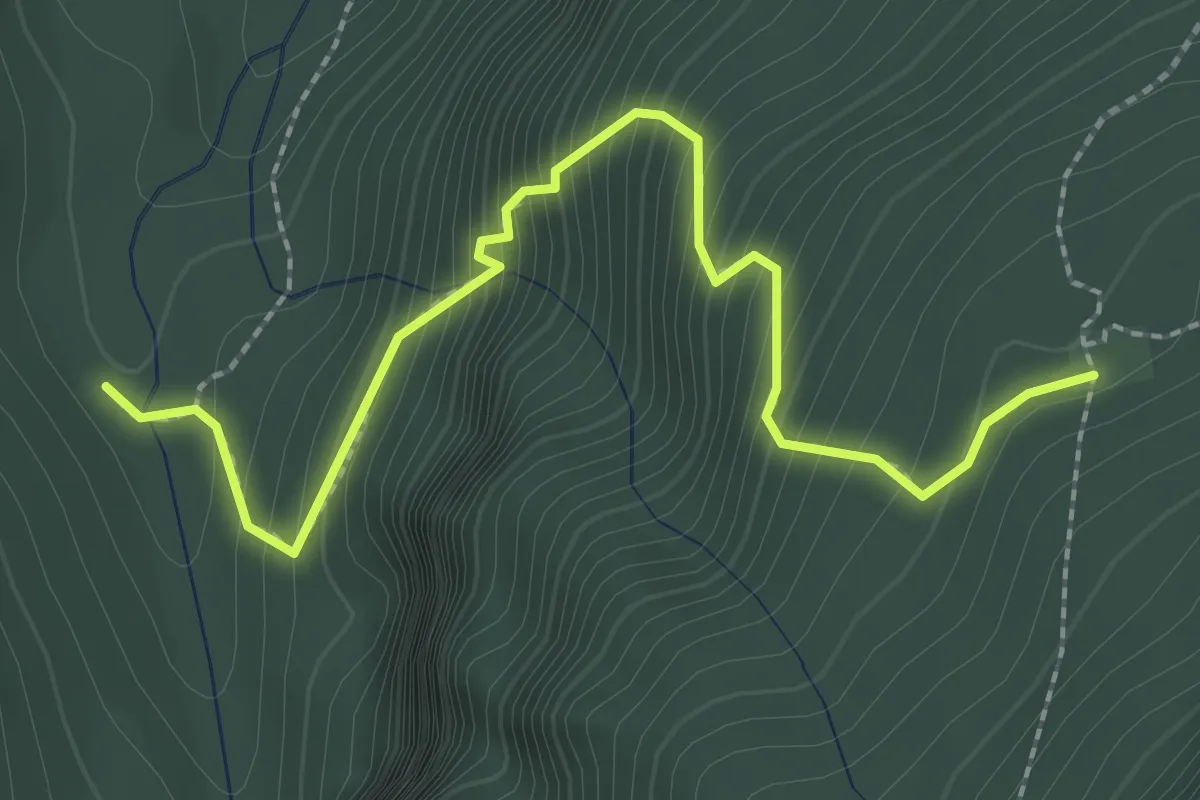
Medium · Trail
Castelaz- da strada della Val Pramper – Casera di Mezzodì - inn. sent. 534
2.8 km · ↑ 362 m · 1 h 26 min · 12 km away
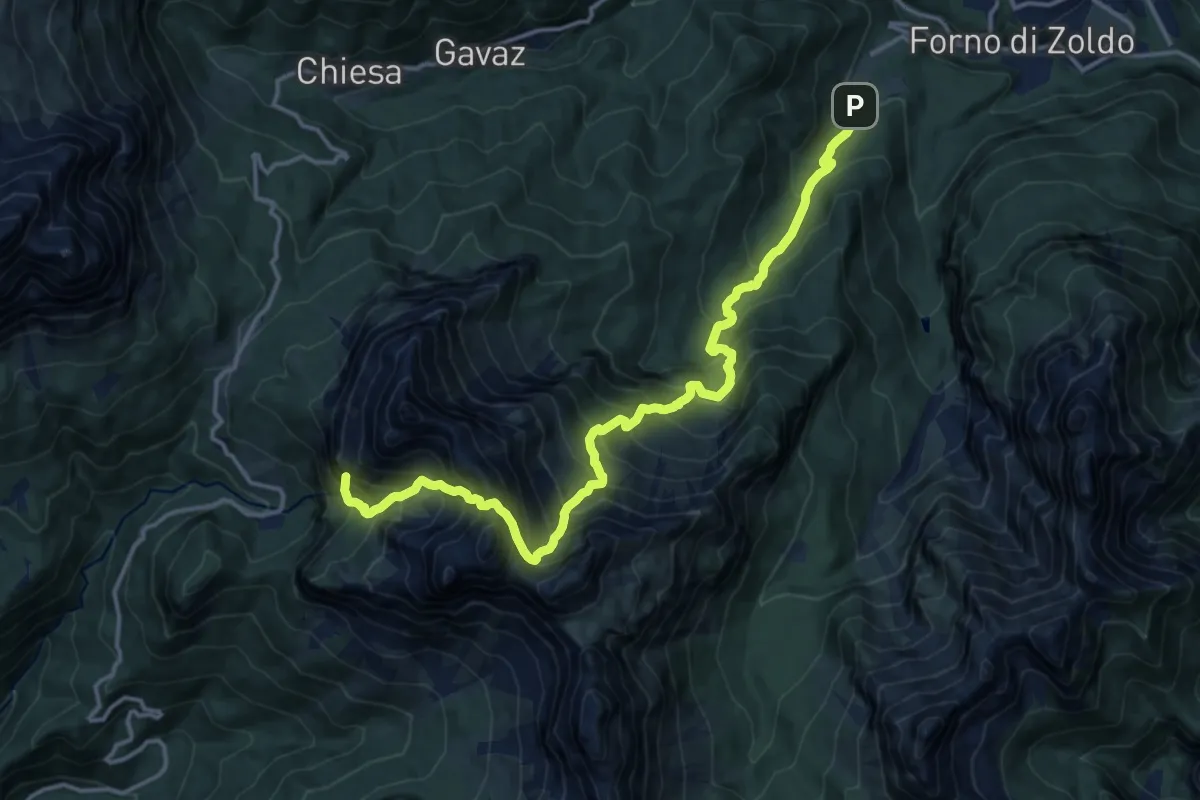
Expert · Summit
Pralongo – Passo Duran
16.2 km · ↑ 2162 m · 8 h 30 min · 12 km away
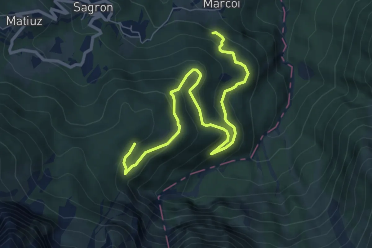
Medium · Trail
Intrecci del Tempo
7.3 km · ↑ 469 m · 2 h 44 min · 12 km away
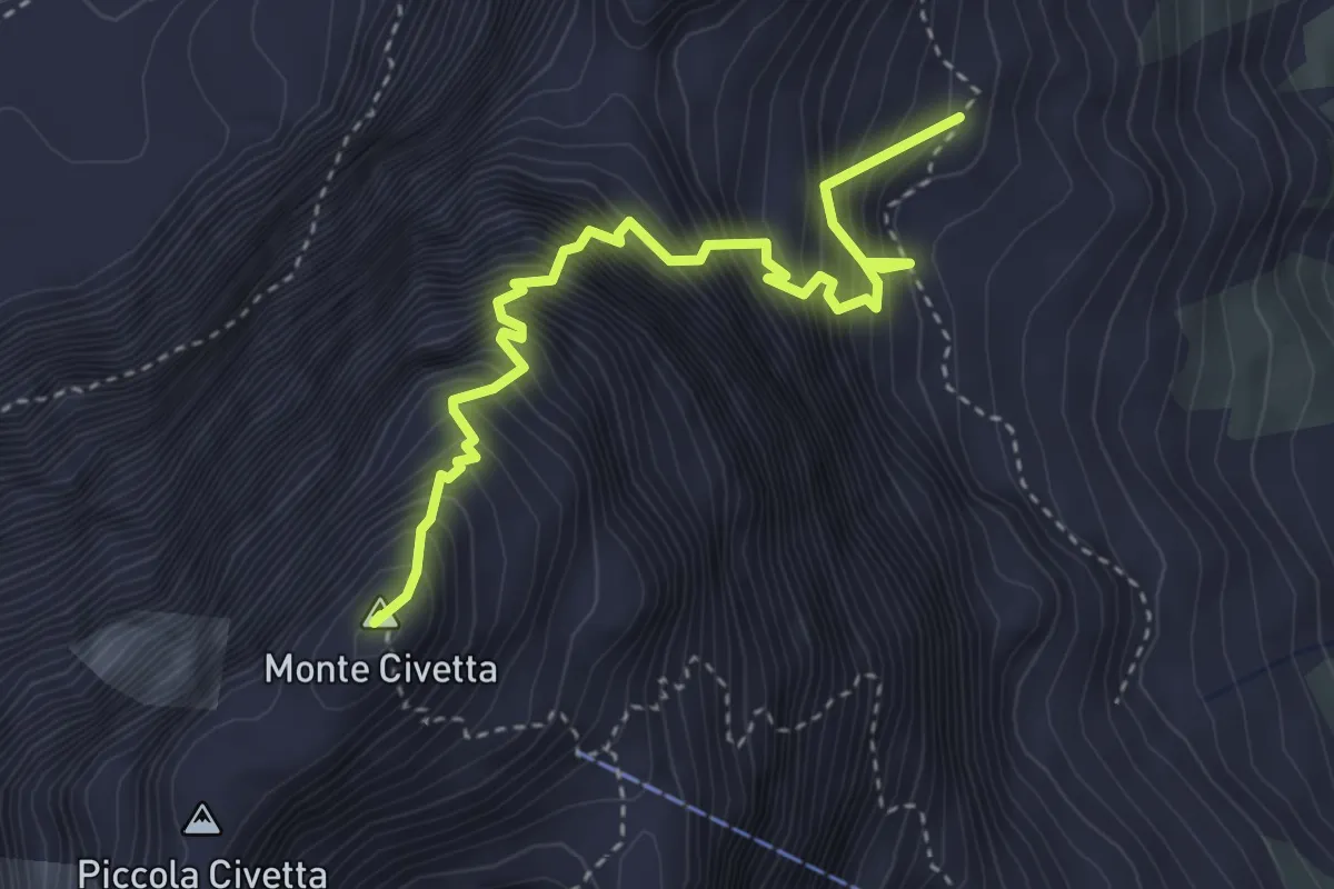
Expert · Summit
Ferrata degli Alleghesi
3.8 km · ↑ 1039 m · 3 h 9 min · 12 km away
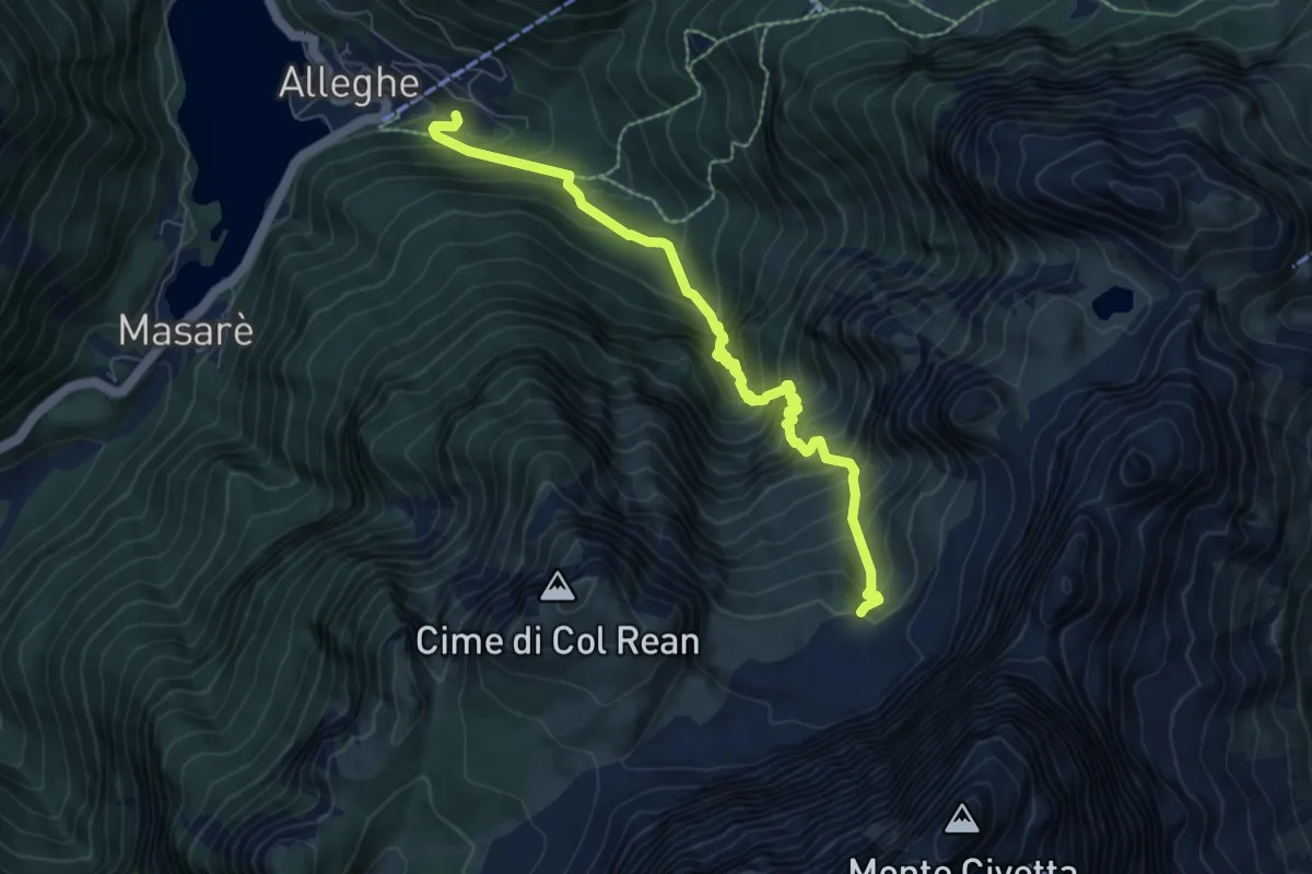
Expert · Trail
Alleghe – Val Civetta - inn. sent. 560
7.4 km · ↑ 1030 m · 3 h 58 min · 12 km away
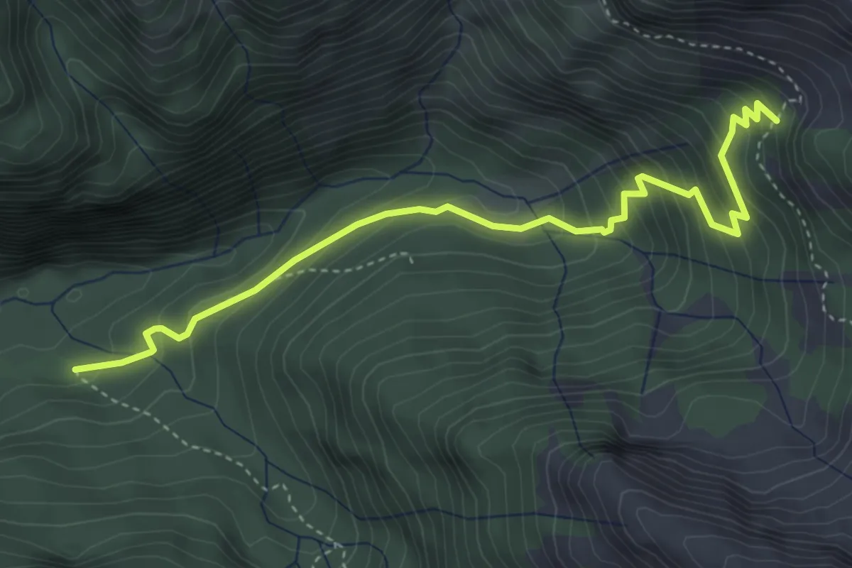
Medium · Cabin
Rifugio Bianchet – Scalon de Nerville - innesto sentiero 514
4.5 km · ↑ 388 m · 1 h 54 min · 12 km away
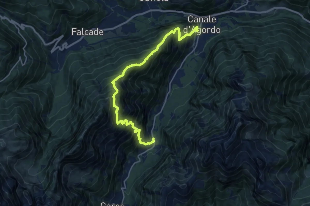
Expert · Trail
Canale – Gares
14.9 km · ↑ 1713 m · 7 h 14 min · 12 km away
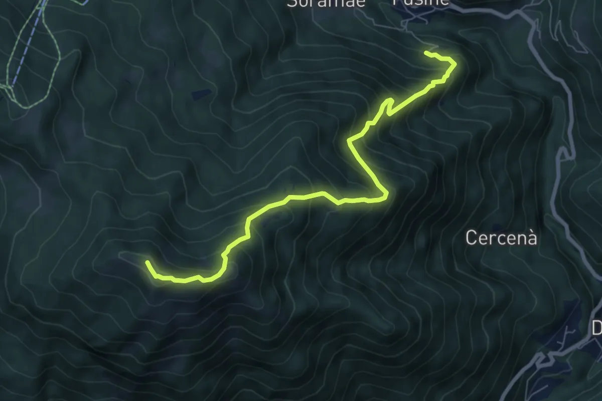
Demanding · Summit
Fusine cimitero – Pianaz - Palma
7.3 km · ↑ 828 m · 3 h 31 min · 12 km away
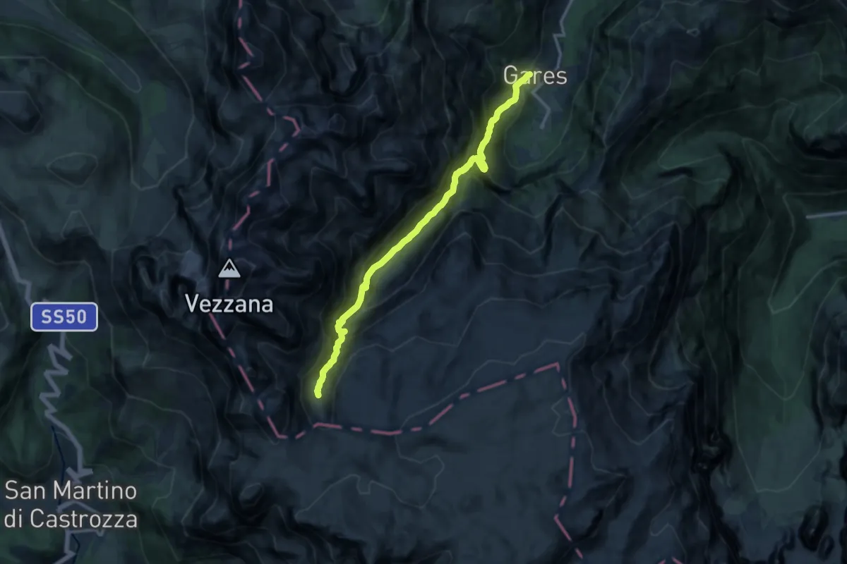
Expert · Trail
Gares – Pian dei Cantoni
11.9 km · ↑ 1331 m · 5 h 41 min · 12 km away
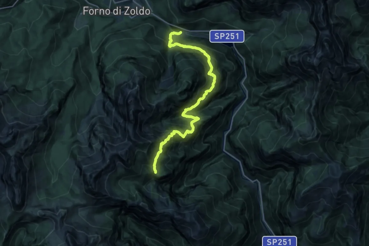
Demanding · Trail
Baron-Fain – Col dei Gai di Cornia - inn. sent. 521
9.0 km · ↑ 425 m · 3 h 39 min · 12 km away
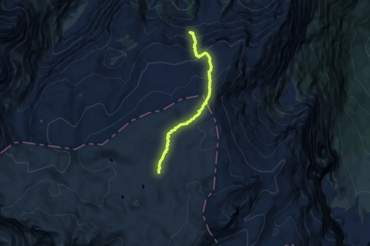
Medium · Trail
Campo Boaro – Tromba del Miel
6.7 km · ↑ 470 m · 2 h 36 min · 12 km away
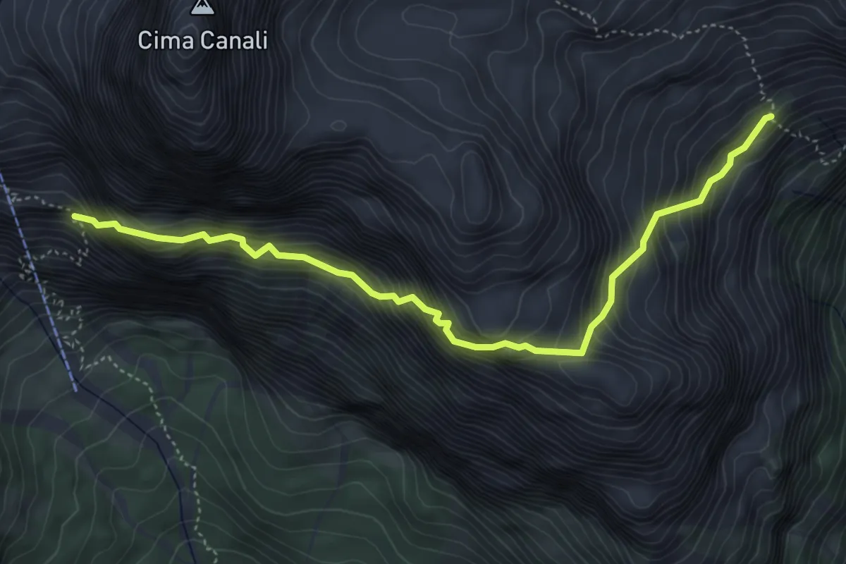
Expert · Trail
Sentiero Riccardo Simon
5.1 km · ↑ 889 m · 3 h 8 min · 12 km away
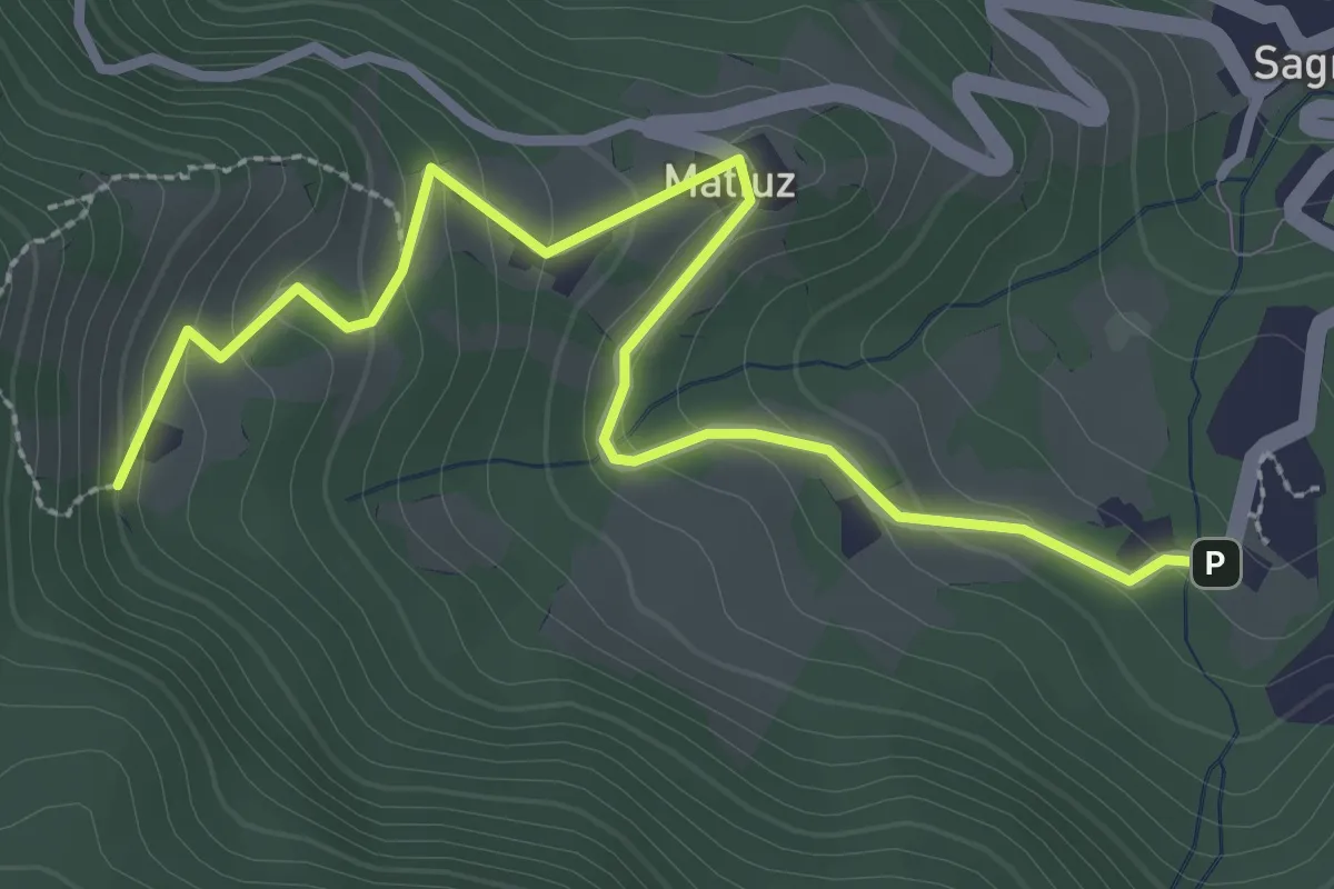
Easy · Trail
Sagron - Gianesei (bivio 801B) – Casere (bivio 801)
3.4 km · ↑ 202 m · 1 h 15 min · 12 km away
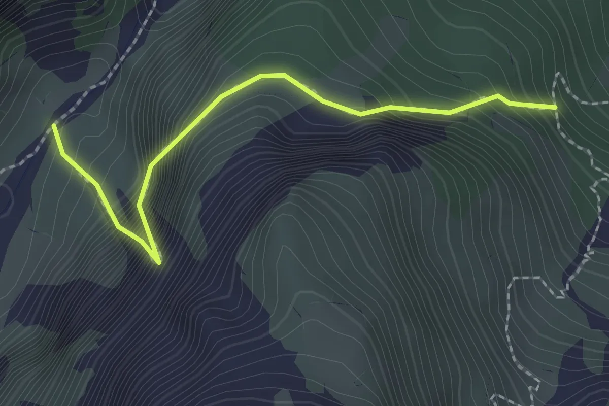
Demanding · Trail
Viaz del Bus
2.1 km · ↑ 500 m · 1 h 35 min · 12 km away
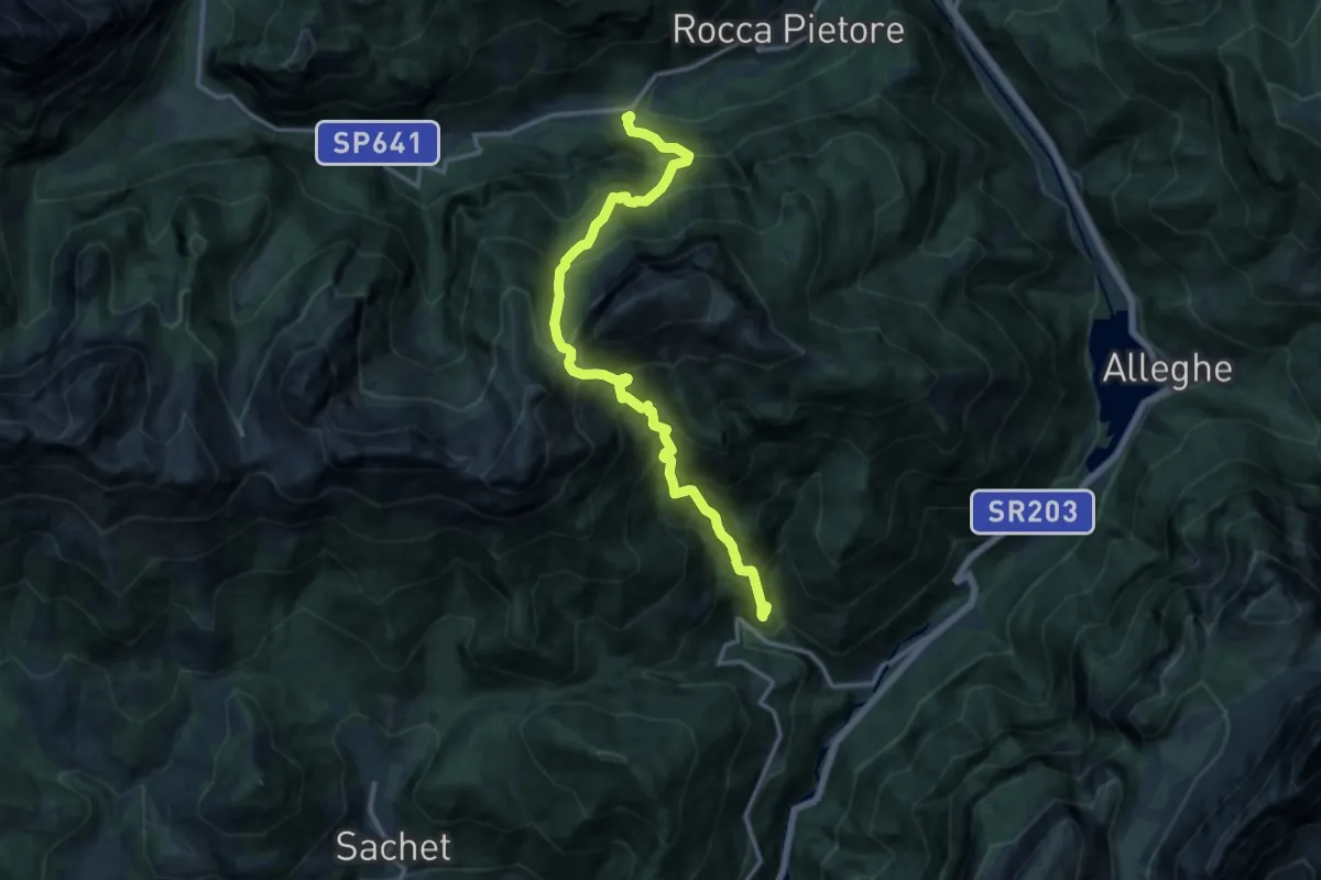
Demanding · Trail
Pian Molin - Costoia – Bosco Verde
14.4 km · ↑ 1924 m · 7 h 34 min · 13 km away
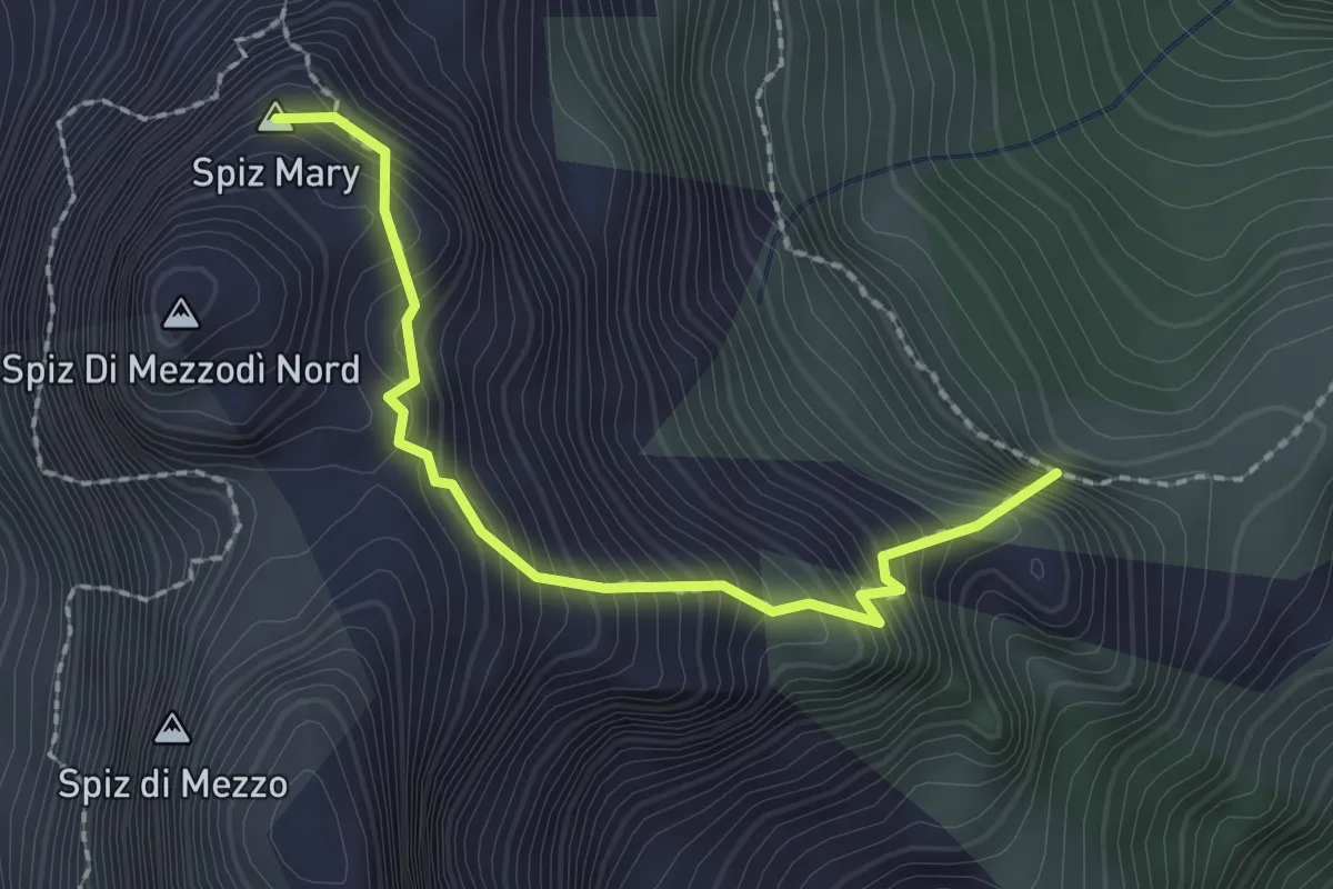
Demanding · Summit
Giaron dentre i Spiz - da sentiero 532 – sotto Forcella Col Pelos - innesto sentiero 532
2.1 km · ↑ 404 m · 1 h 22 min · 13 km away
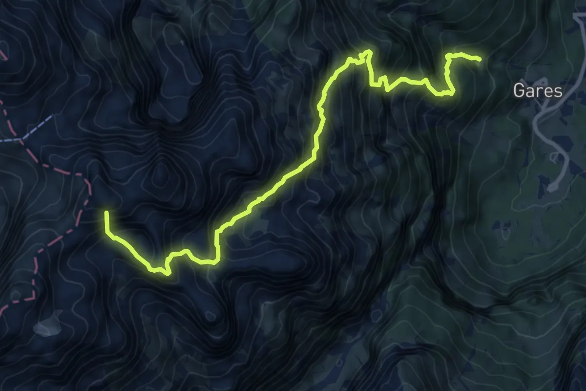
Demanding · Summit
sopra Gares - sentiero . 754 – sentiero 703 - dopo Passo delle Fede
9.6 km · ↑ 1550 m · 5 h 37 min · 13 km away
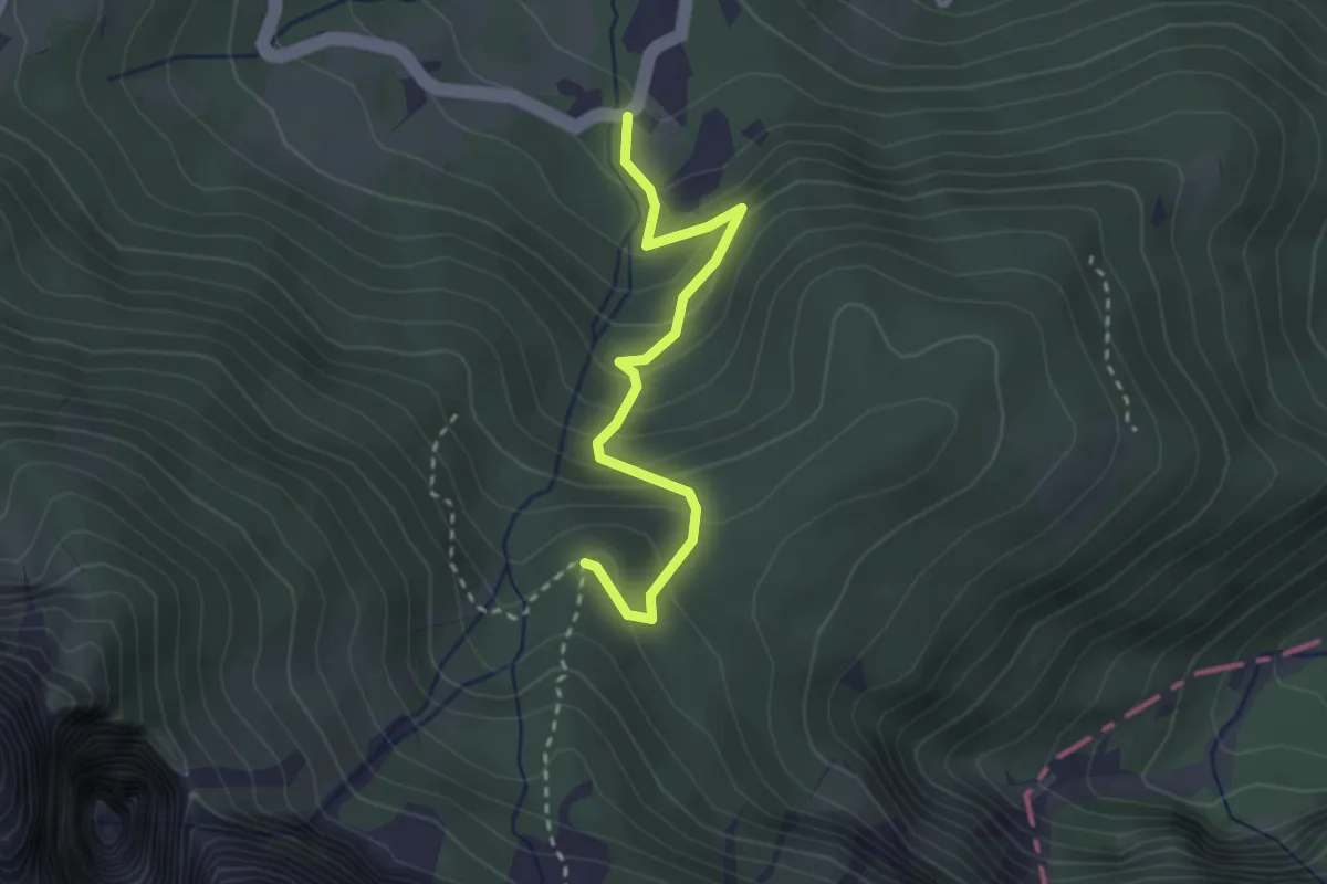
Easy · Trail
Sentiero "Italo Zecchini"
2.7 km · ↑ 244 m · 1 h 10 min · 13 km away
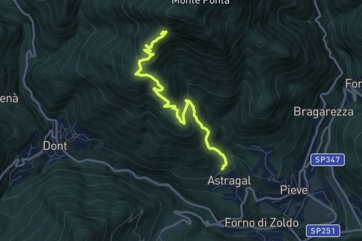
Medium · Summit
Forno di Zoldo - Col – Zoldo Alto - Costa
7.5 km · ↑ 668 m · 3 h 13 min · 13 km away
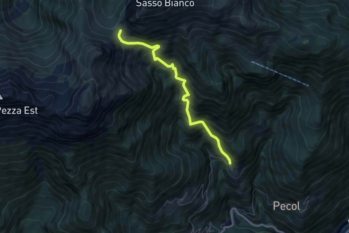
Demanding · Trail
Pian Molin - Costoia – Forcella S'ciota
6.1 km · ↑ 806 m · 3 h 11 min · 13 km away
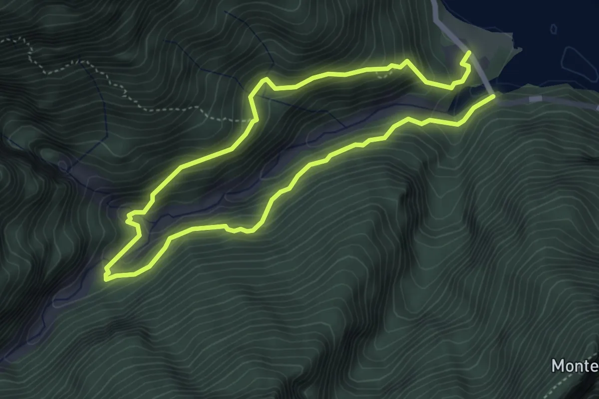
Medium · Trail
Sentiero Natura Val Falcina
7.8 km · ↑ 702 m · 3 h 22 min · 13 km away
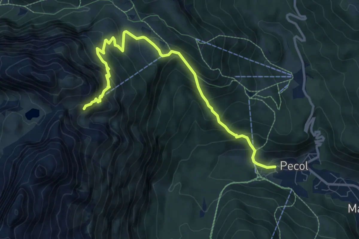
Medium · Cabin
Pecol Vecchio (quota 1382) – Rifugio Coldai (quota 2312)
9.2 km · ↑ 779 m · 3 h 52 min · 13 km away
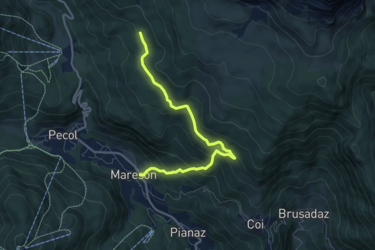
Medium · Trail
Mareson - da S.P. 251 – Pian de le Mandrate - innesto percorso 474
7.4 km · ↑ 443 m · 2 h 42 min · 13 km away
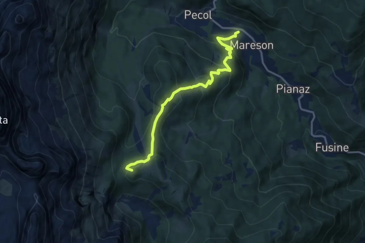
Medium · Summit
Mareson ex segheria – Forcella della Grava - inn. sent. 557-586
8.7 km · ↑ 568 m · 3 h 17 min · 13 km away
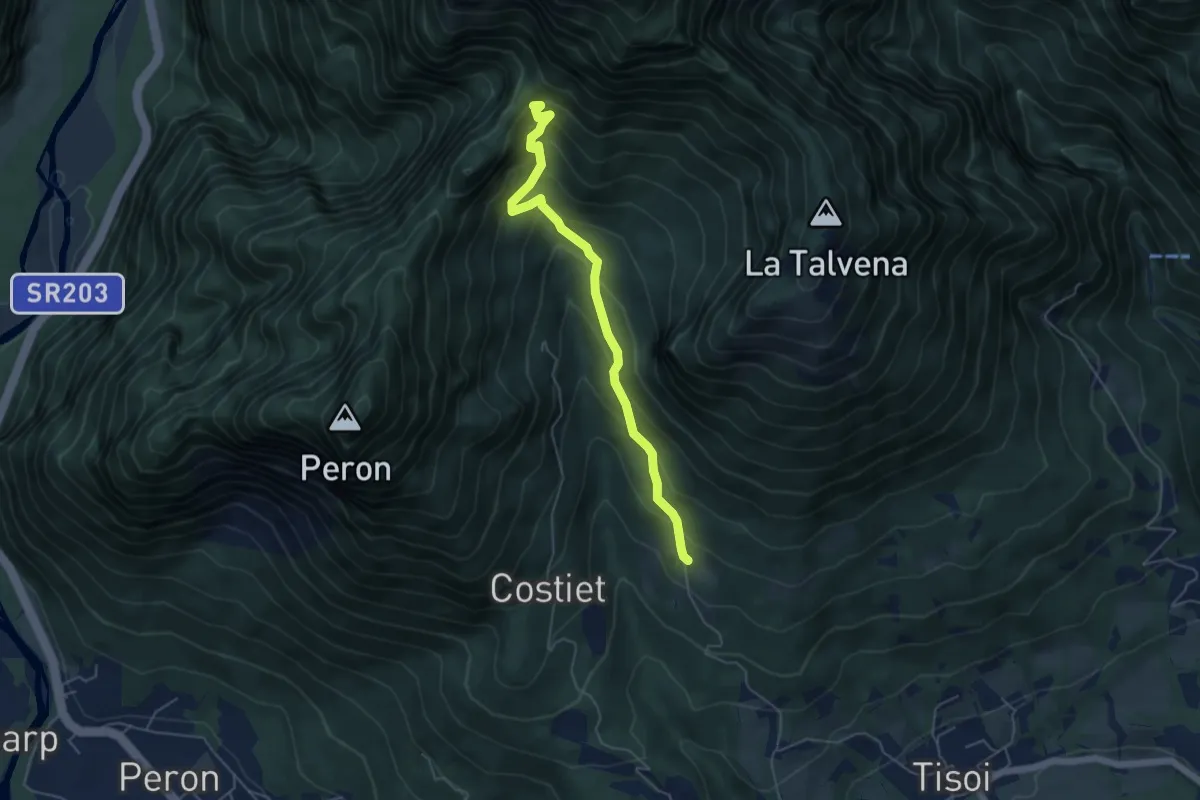
Medium · Trail
Casera Zoppa – Forcella San Giorgio
5.1 km · ↑ 432 m · 2 h 8 min · 13 km away
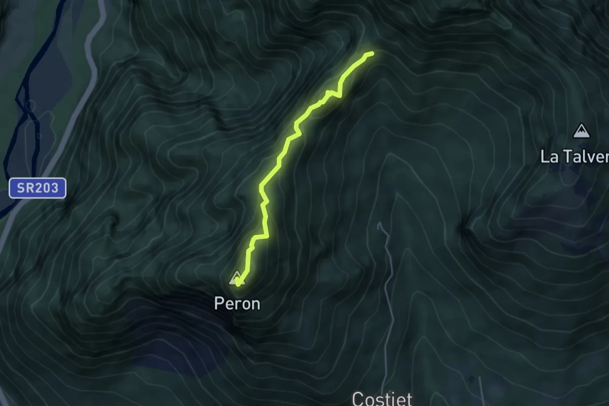
Demanding · Summit
Forcella San Giorgio – Monte Peron
3.7 km · ↑ 354 m · 1 h 39 min · 13 km away
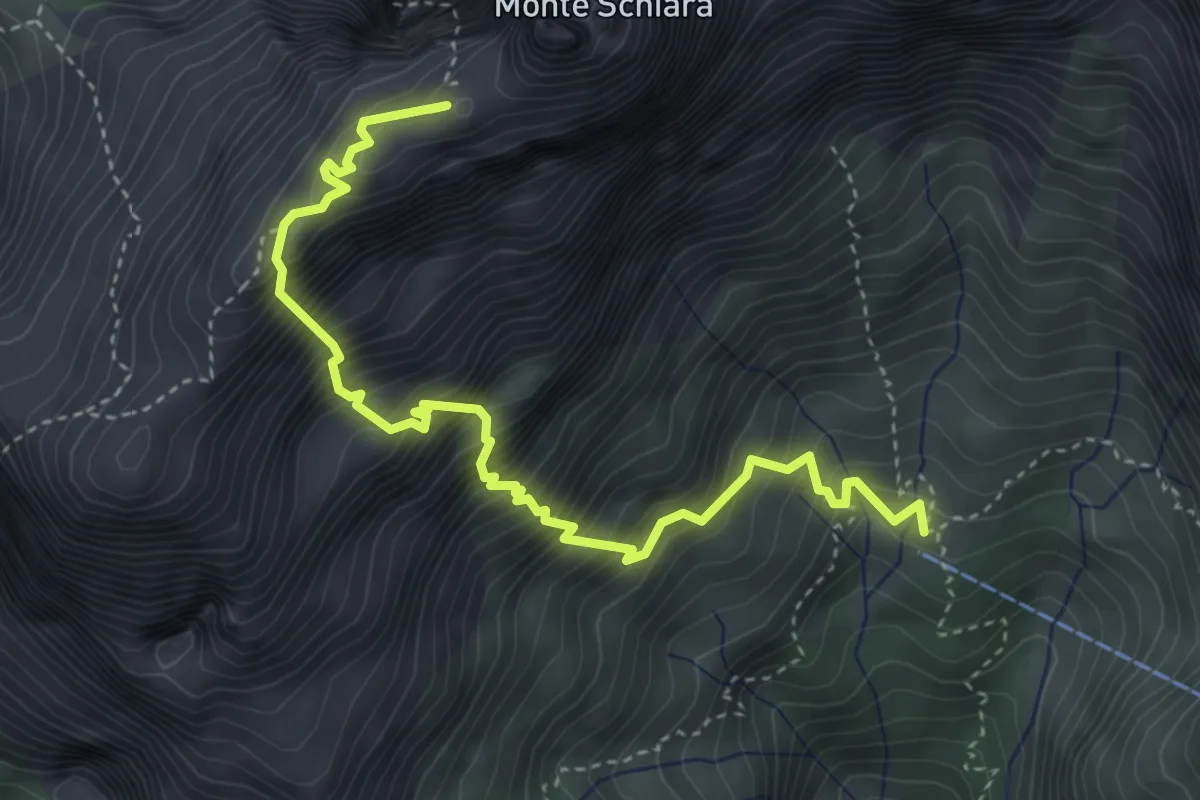
Demanding · Summit
Sentiero Sperti
4.6 km · ↑ 1029 m · 3 h 19 min · 14 km away
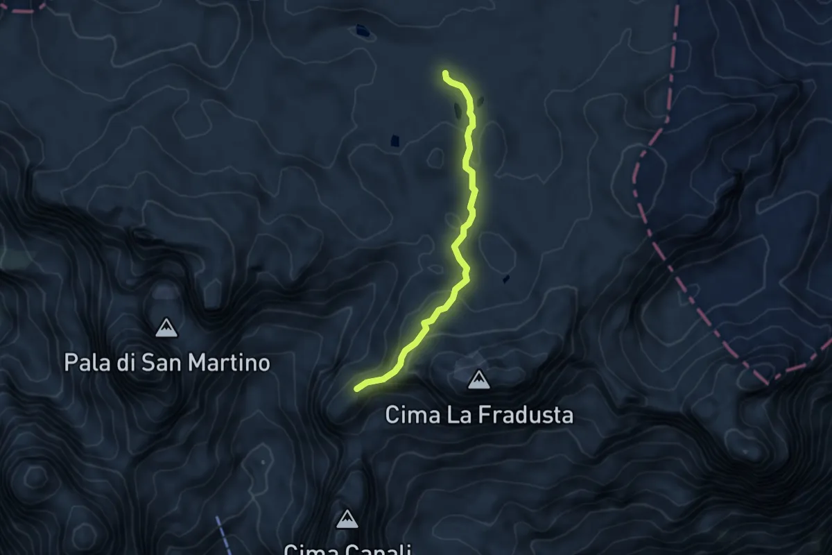
Medium · Trail
Riviera di Manna (bivio 707) – Passo delle Lede (bivio 711)
4.6 km · ↑ 207 m · 1 h 32 min · 14 km away
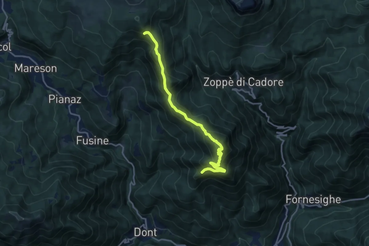
Demanding · Summit
Col de Salera - da sent. 492 – I Lac - inn. sent. 472
11.0 km · ↑ 867 m · 4 h 29 min · 14 km away
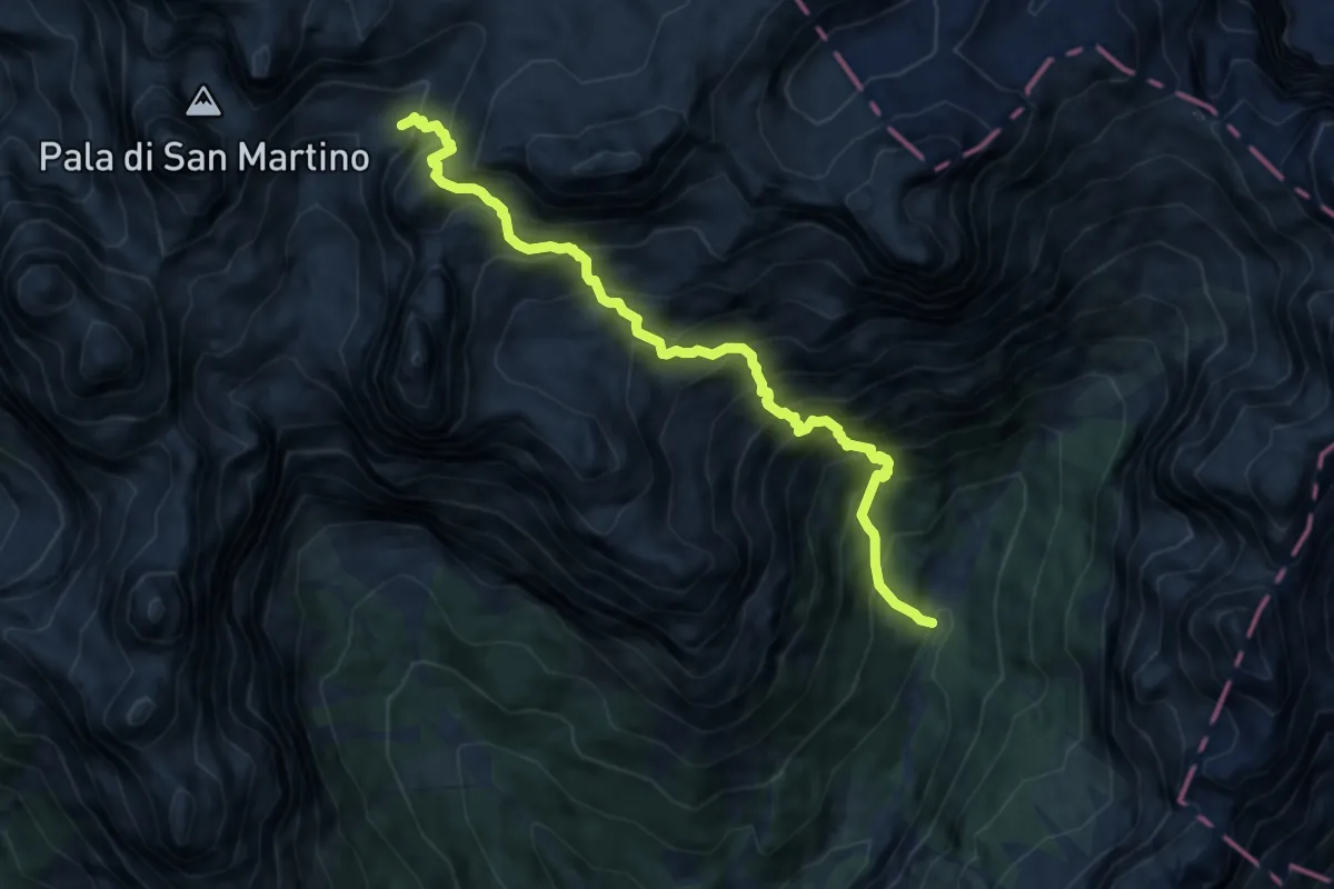
Expert · Trail
Pian delle Lede (bivio 707) – Val Pradidali (bivio 709)
9.3 km · ↑ 1599 m · 5 h 40 min · 14 km away
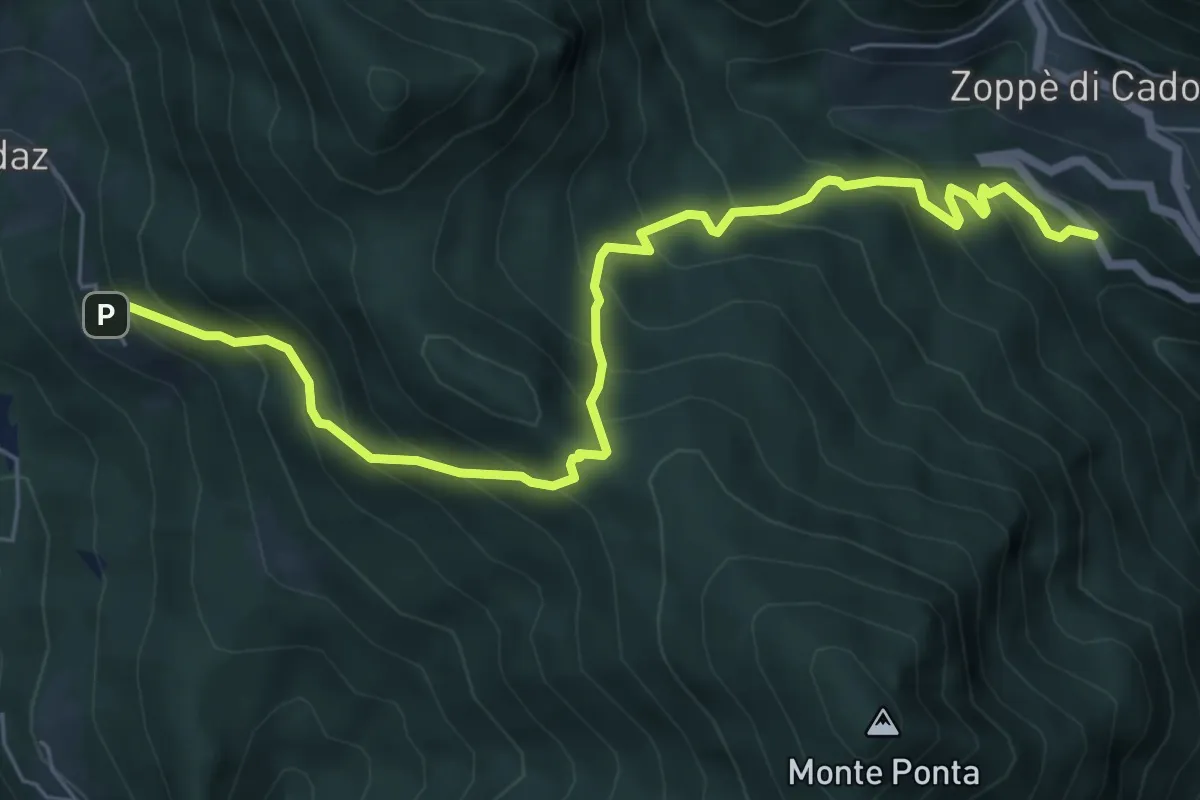
Medium · Trail
Zoppè - Cimitero – Costa
7.2 km · ↑ 696 m · 3 h 12 min · 14 km away
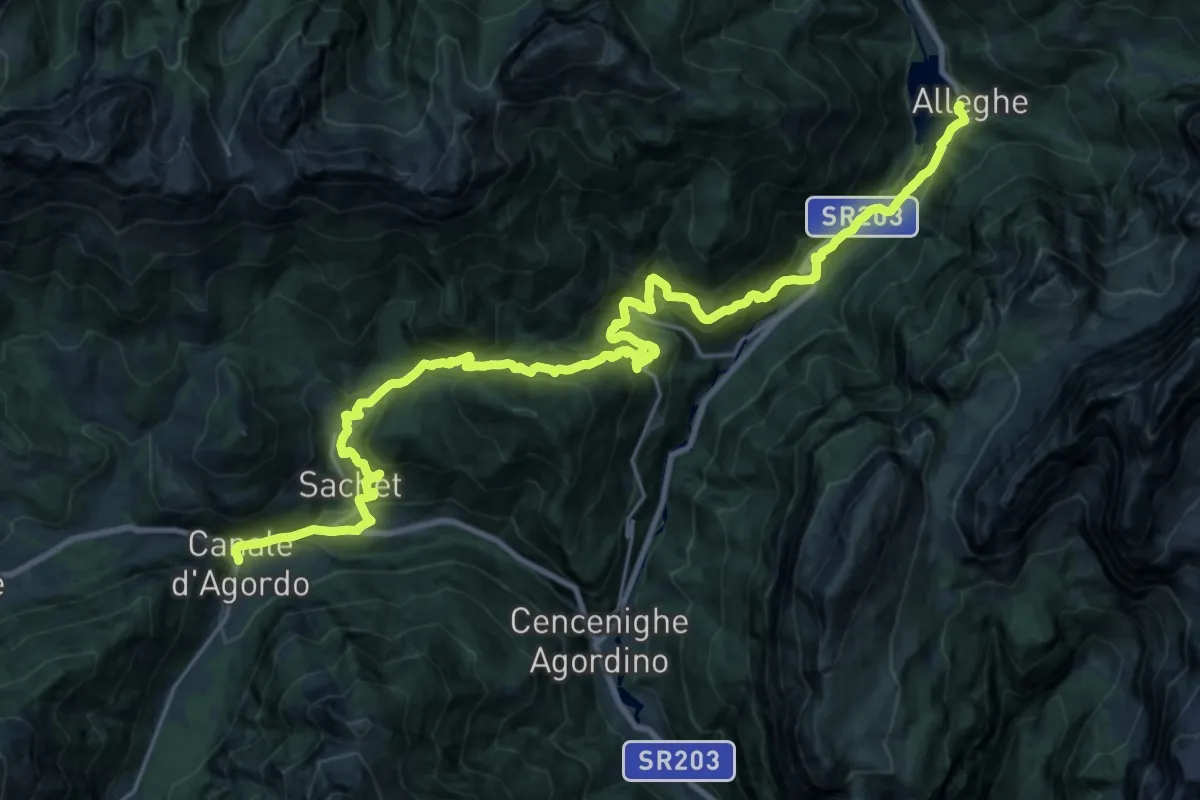
Demanding · Pilgrim path
Cammino delle Dolomiti - Tappa 10
15.3 km · ↑ 991 m · 5 h 59 min · 14 km away
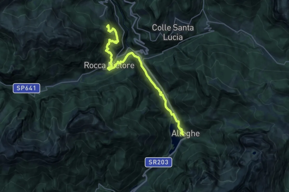
Medium · Summit
Cammino delle Dolomiti - Tappa 11
10.0 km · ↑ 770 m · 3 h 54 min · 14 km away
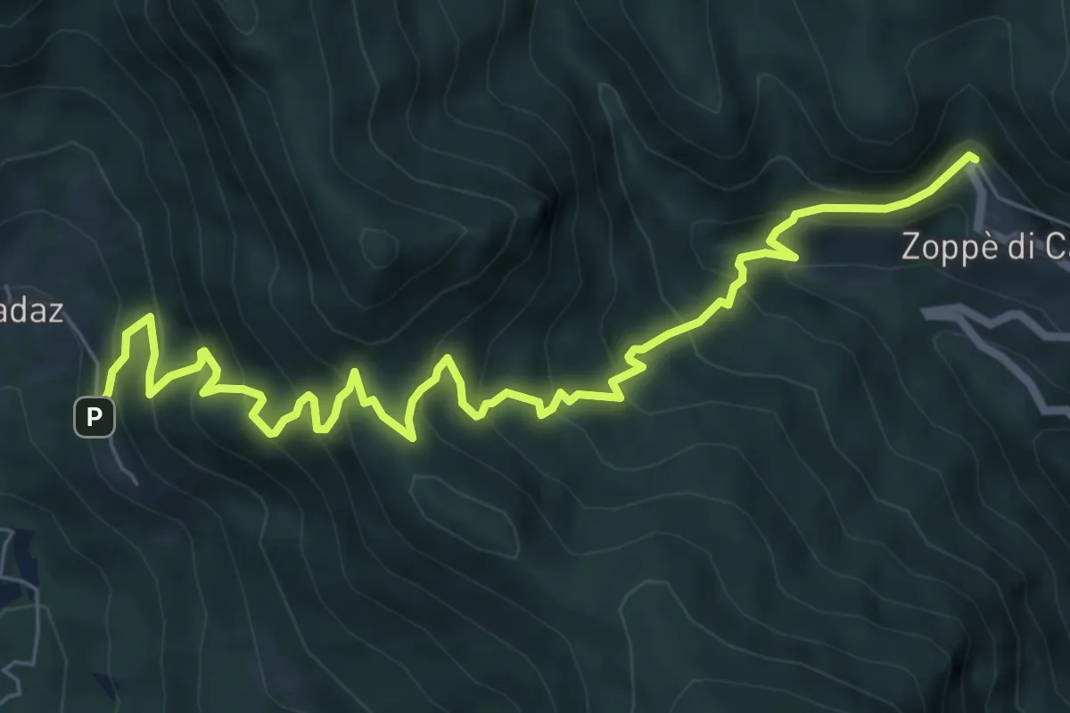
Medium · Trail
Zoldo Alto - Costa – Zoppè - Bortolot
8.3 km · ↑ 732 m · 3 h 33 min · 14 km away