Trails near Agordo
114 hikes starting within 15 km, nearest first.
Nearest first, page 3 of 3
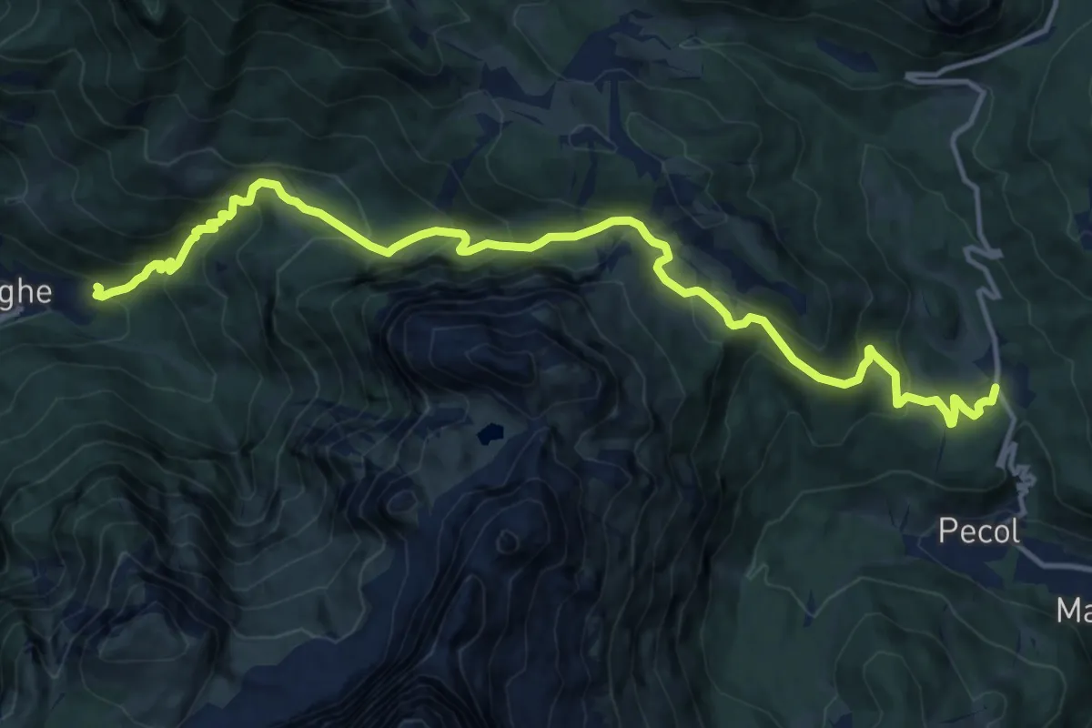
Demanding · Trail
Alleghe - Fontanive – Palafavera
16.0 km · ↑ 1113 m · 6 h 12 min · 14 km away
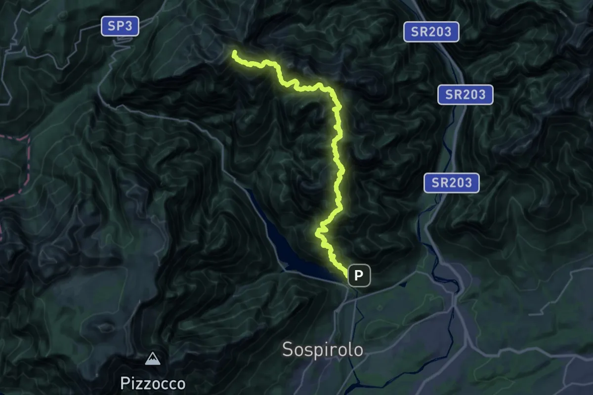
Expert · Summit
Alta Via dei Monti del Sole
26.0 km · ↑ 5219 m · 17 h 27 min · 14 km away
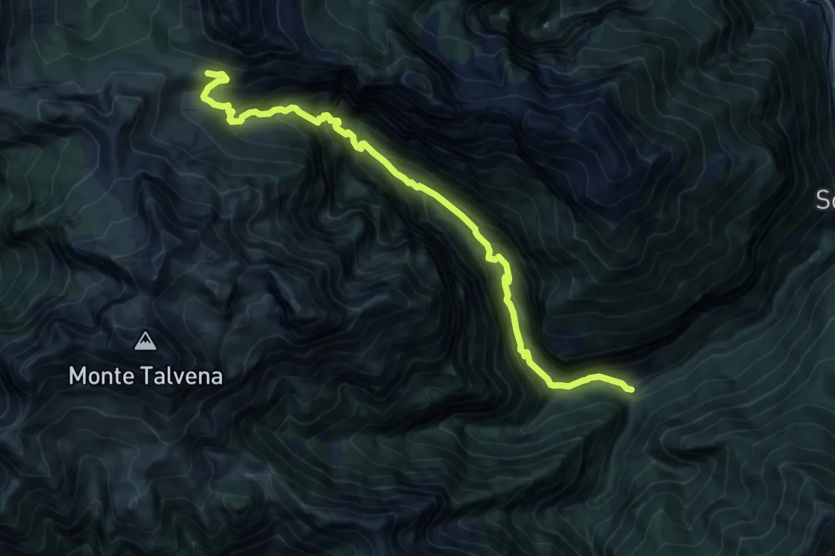
Expert · Cabin
Soffranco - Pont de la Costa Granda – Rifugio Sommariva al Pramperet
13.7 km · ↑ 1283 m · 6 h · 14 km away
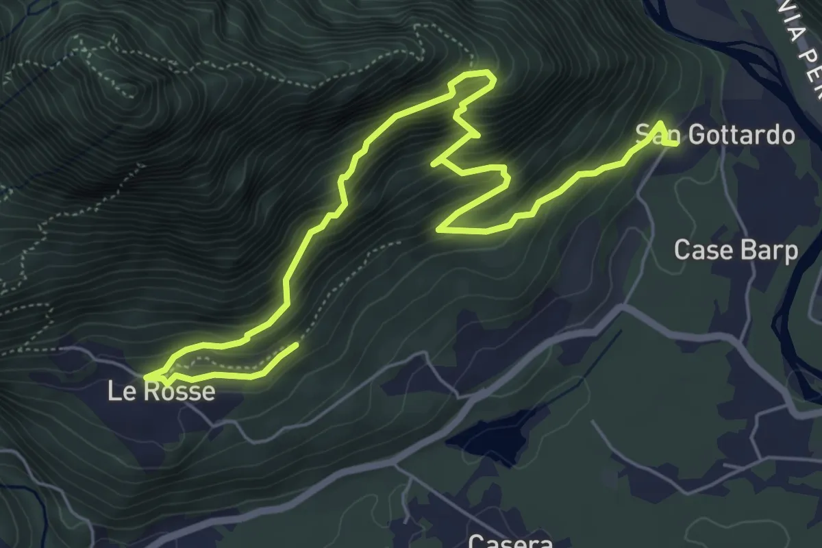
Medium · Trail
Sentiero Olivo Troian
7.9 km · ↑ 727 m · 3 h 26 min · 14 km away
Demanding · Cabin
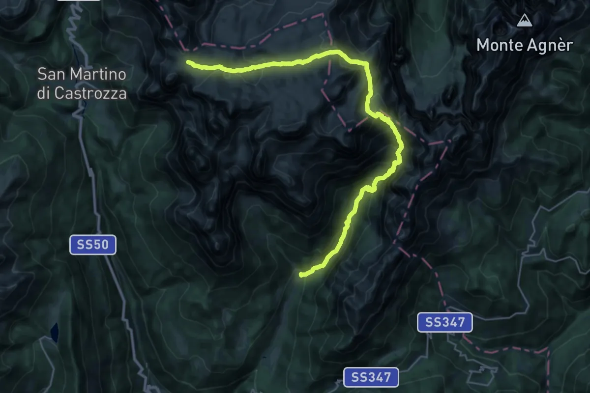
Sabionade - Rifugio Cant del Gal (bivio 709) – Rifugio Rosetta - bivio 702 Parco Paneveggio Pale San Martino (bivio 701A - 703 - 716)
13.6 km · ↑ 1710 m · 6 h 25 min · 14 km away
Demanding · Trail
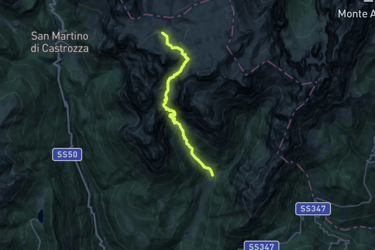
Sabionade - Rifugio Cant del Gal (bivio 707) – Altopiano delle Pale (bivio 707)
8.7 km · ↑ 292 m · 3 h 30 min · 14 km away
Demanding · Trail
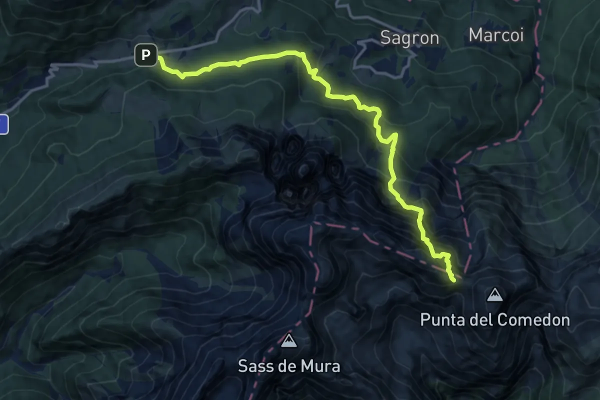
Sentiero attrezzato del Comedon - Intaiada
12.3 km · ↑ 1624 m · 6 h 26 min · 14 km away
Medium · Summit
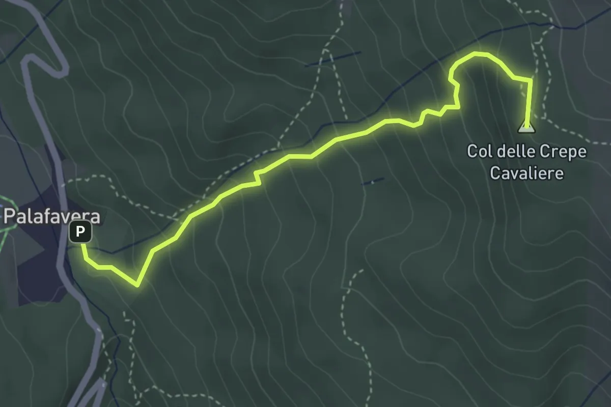
Palafavera – Col de le Crepe Cavaliere - innesto sentiero 472
3.9 km · ↑ 349 m · 1 h 41 min · 14 km away
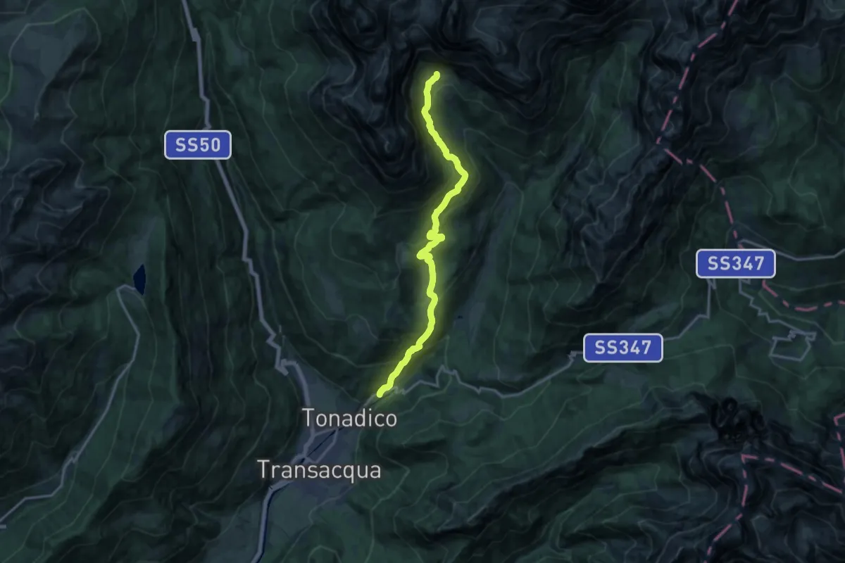
Demanding · Trail
Centrale di Castel Pietra – Portela - Pedemonte (bivio 709)
14.7 km · ↑ 970 m · 5 h 34 min · 14 km away
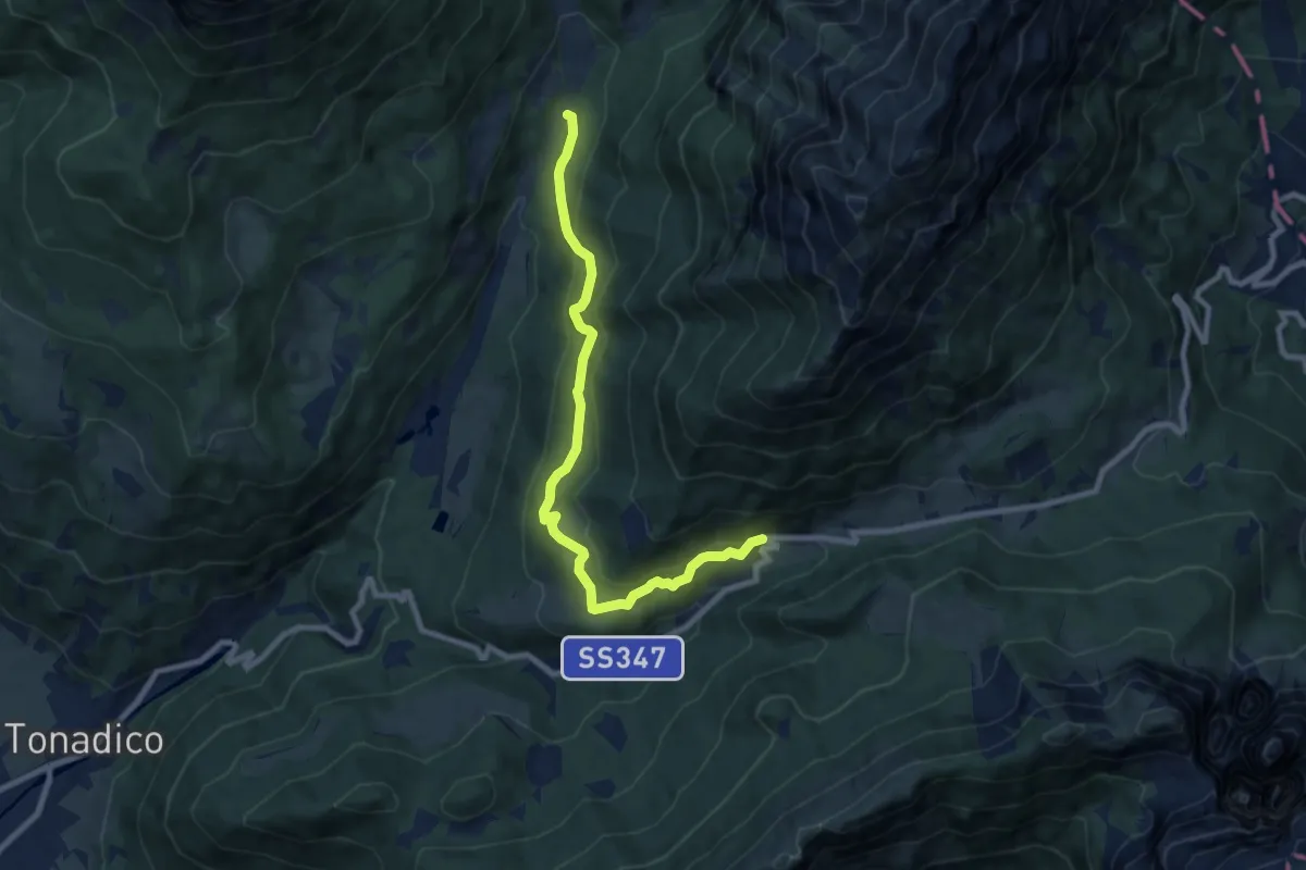
Medium · Trail
Sentiero "Piero Agostini"
8.8 km · ↑ 391 m · 2 h 56 min · 14 km away
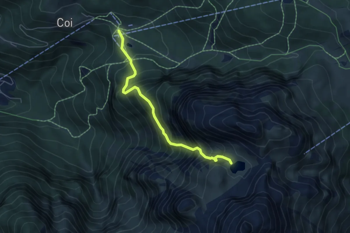
Expert · Trail
Piani di Pezzè (quota 1452) – Rù de Porta/Lago Coldai - inn. sent. 560 (quota 2143)
5.0 km · ↑ 736 m · 2 h 46 min · 14 km away
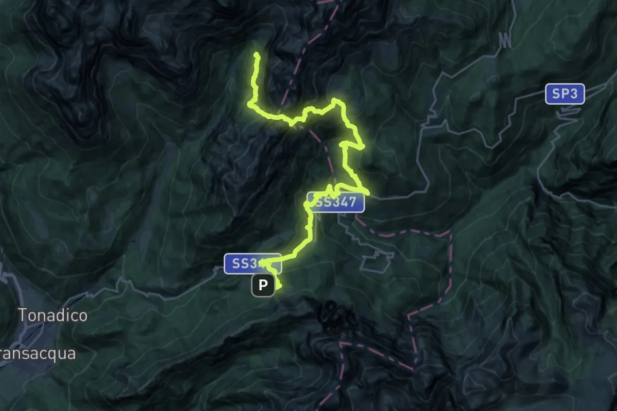
Demanding · Cabin
Dolomites World Heritage Geotrail 36
13.7 km · ↑ 1262 m · 6 h 7 min · 14 km away
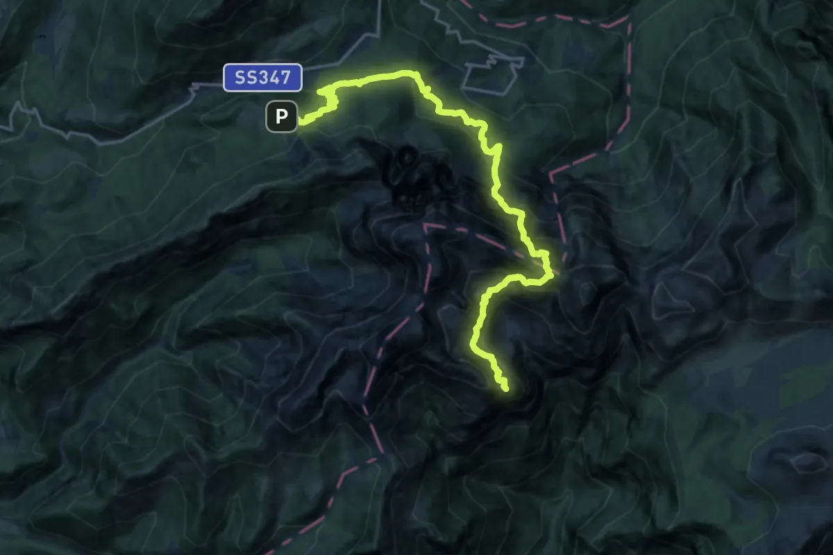
Demanding · Summit
Dolomites World Heritage Geotrail 35
19.6 km · ↑ 2339 m · 9 h 41 min · 14 km away
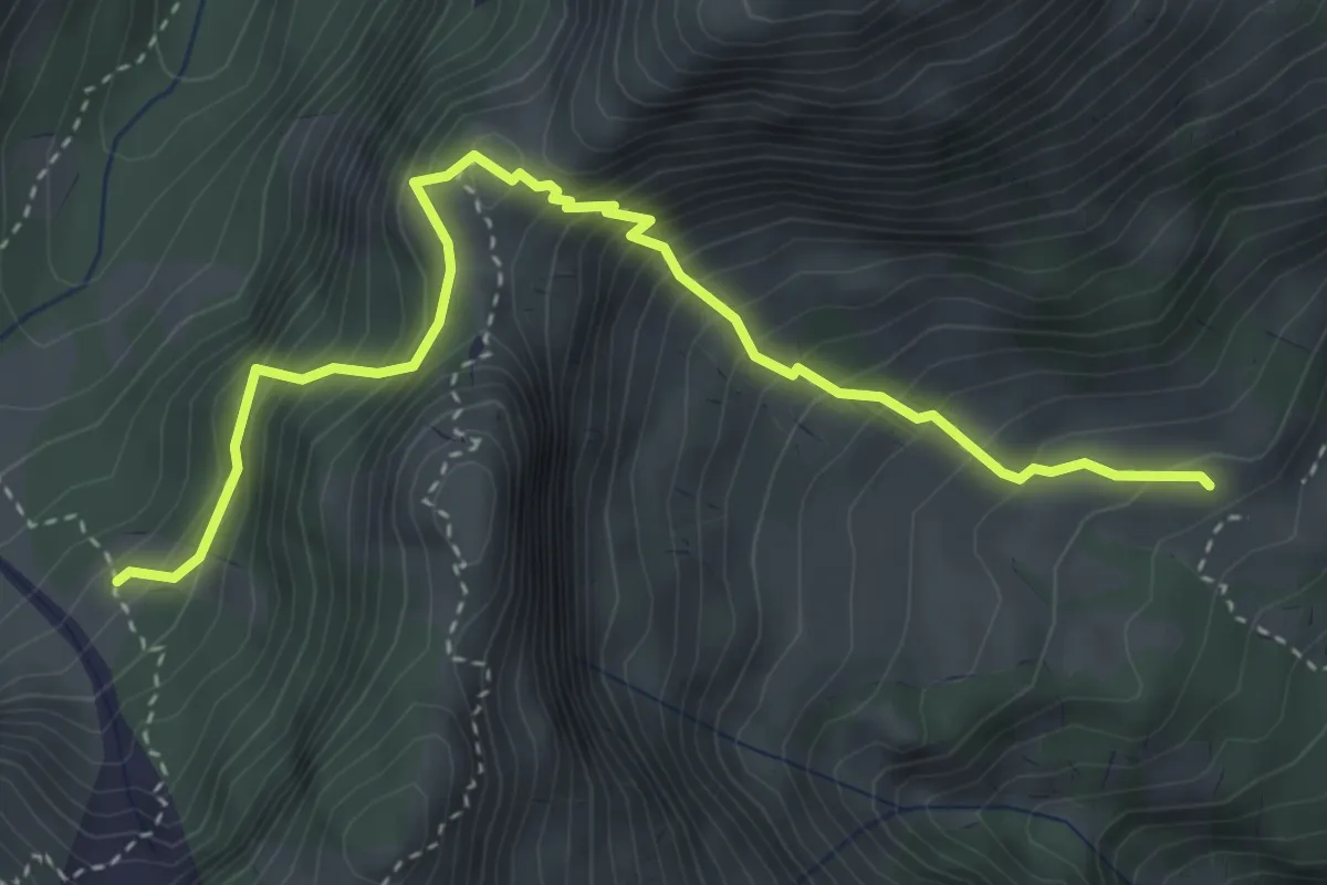
Demanding · Cabin
Malga Stia – Sopra Casera Focobon - inn. sent. 722
4.1 km · ↑ 671 m · 2 h 26 min · 14 km away
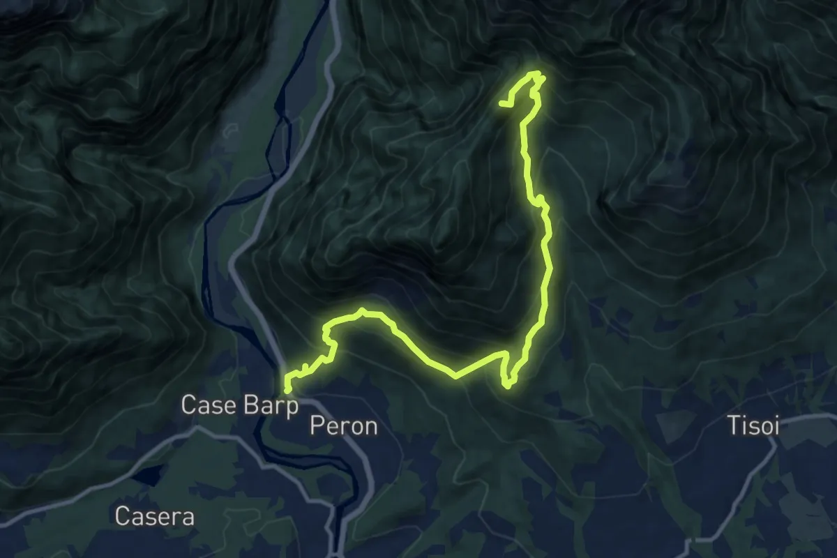
Demanding · Summit
Sentiero tematico delle chiesette pedemontane
12.8 km · ↑ 1120 m · 5 h 27 min · 14 km away
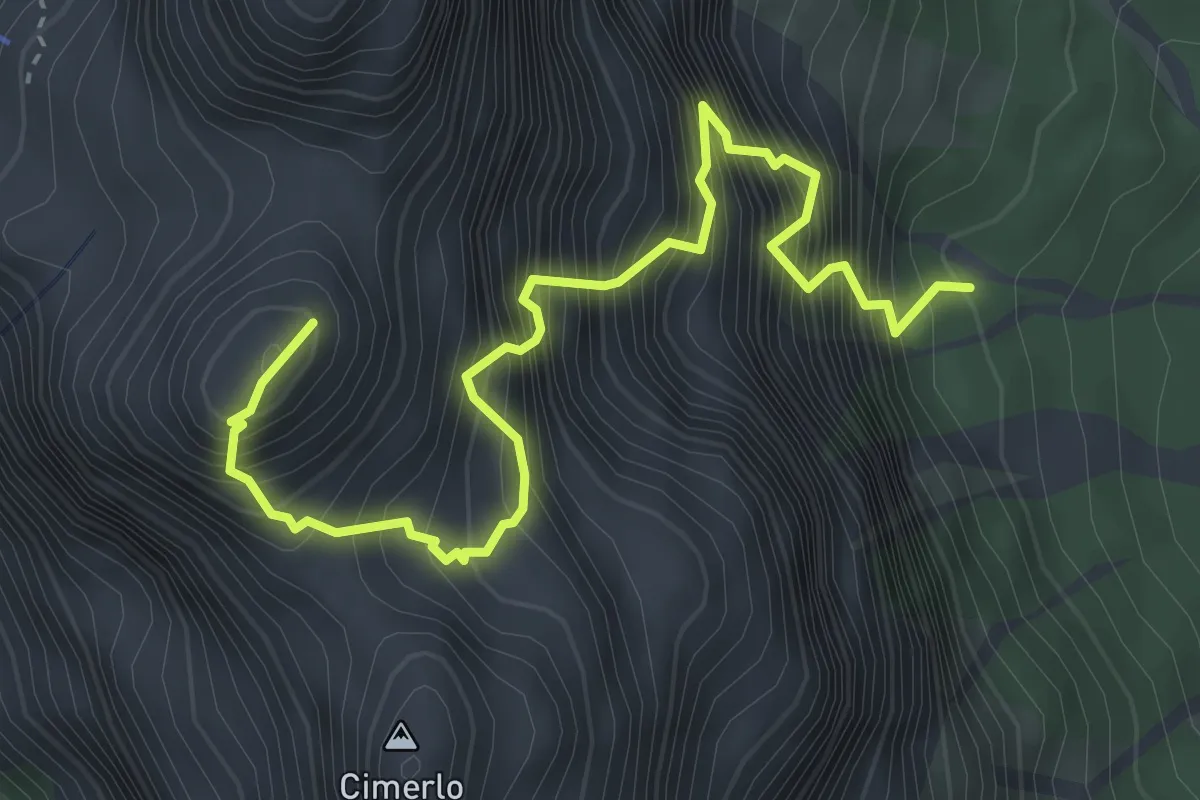
Expert · Summit
Via ferrata del Cacciatore
4.2 km · ↑ 1145 m · 3 h 29 min · 15 km away
Expert · Trail
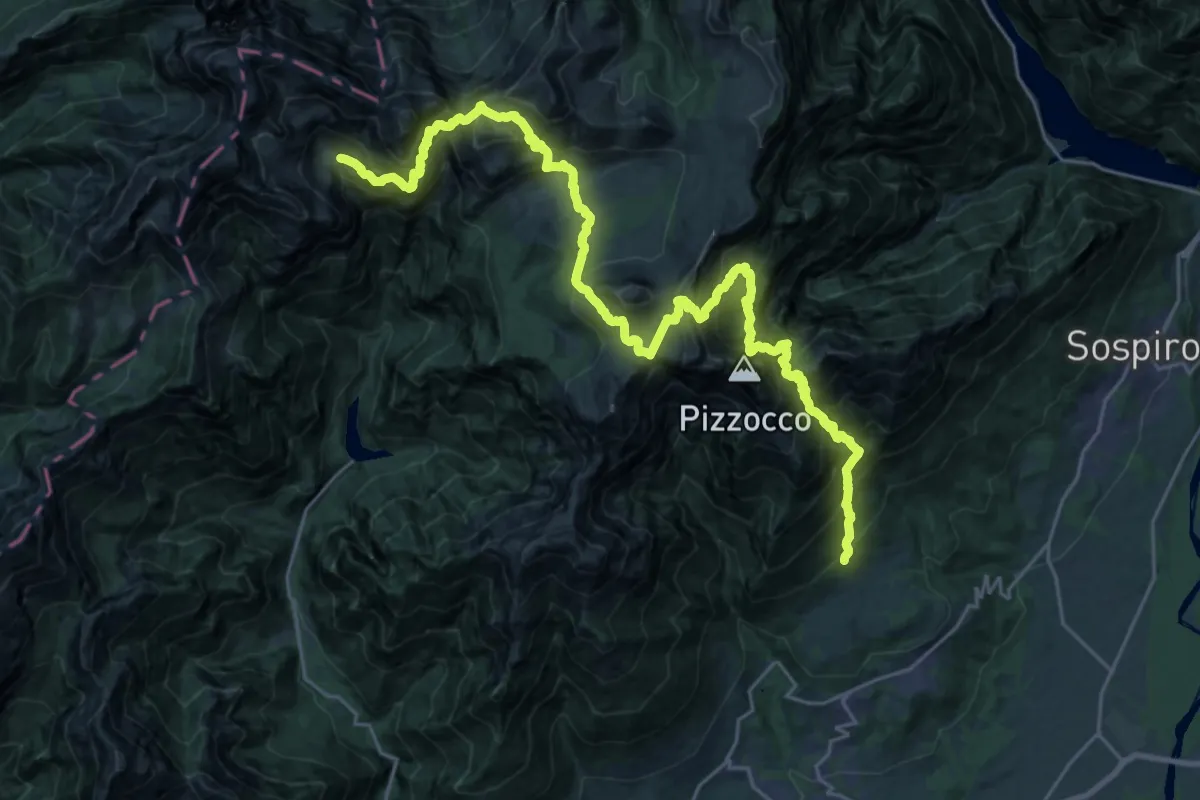
Roncoi - Roer – Casera Cimonega - innesto sentiero 806
15.6 km · ↑ 1622 m · 7 h 51 min · 15 km away
Medium · Summit
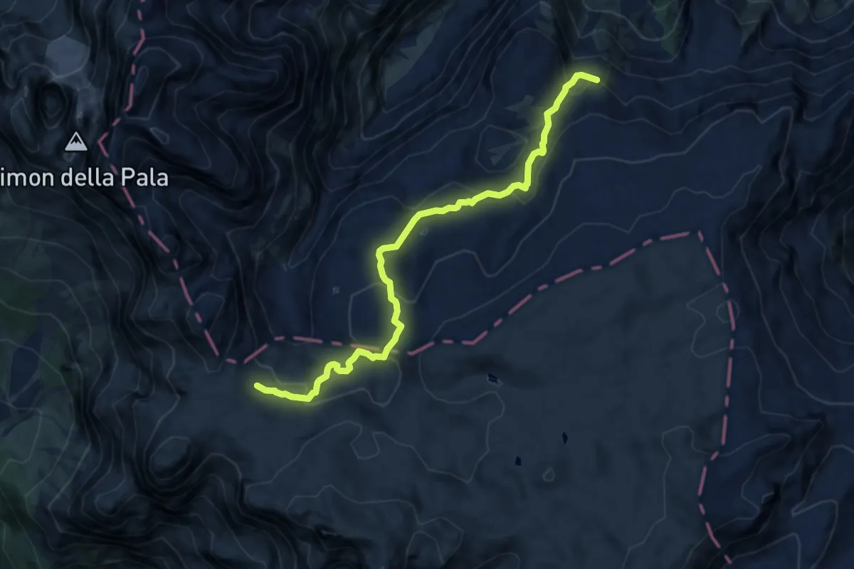
Capanna Comelle – Sentiero 703
9.4 km · ↑ 518 m · 3 h 21 min · 15 km away