Trails near Alano di Piave
65 hikes starting within 15 km, nearest first.
Nearest first, page 1 of 2
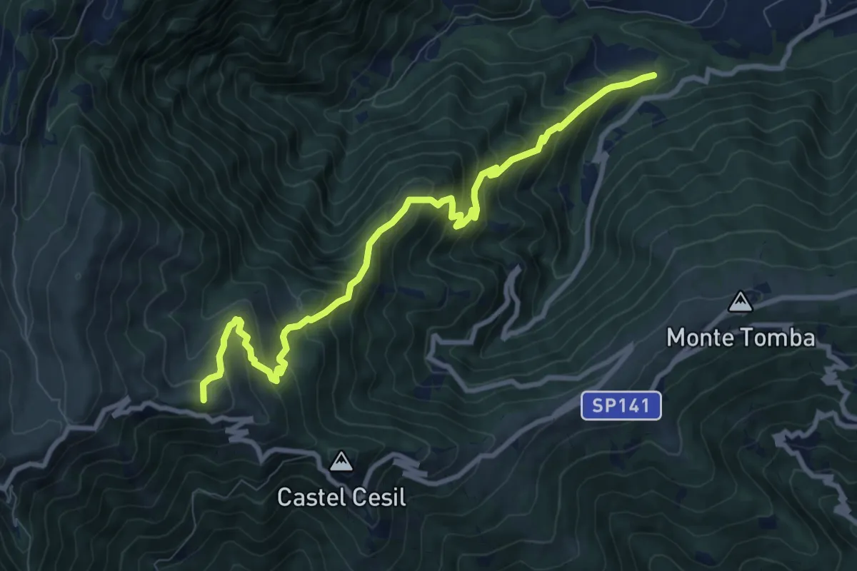
Demanding · Summit
Alano - Le Marche – Monte Piz
9.7 km · ↑ 938 m · 4 h 19 min · 1 km away
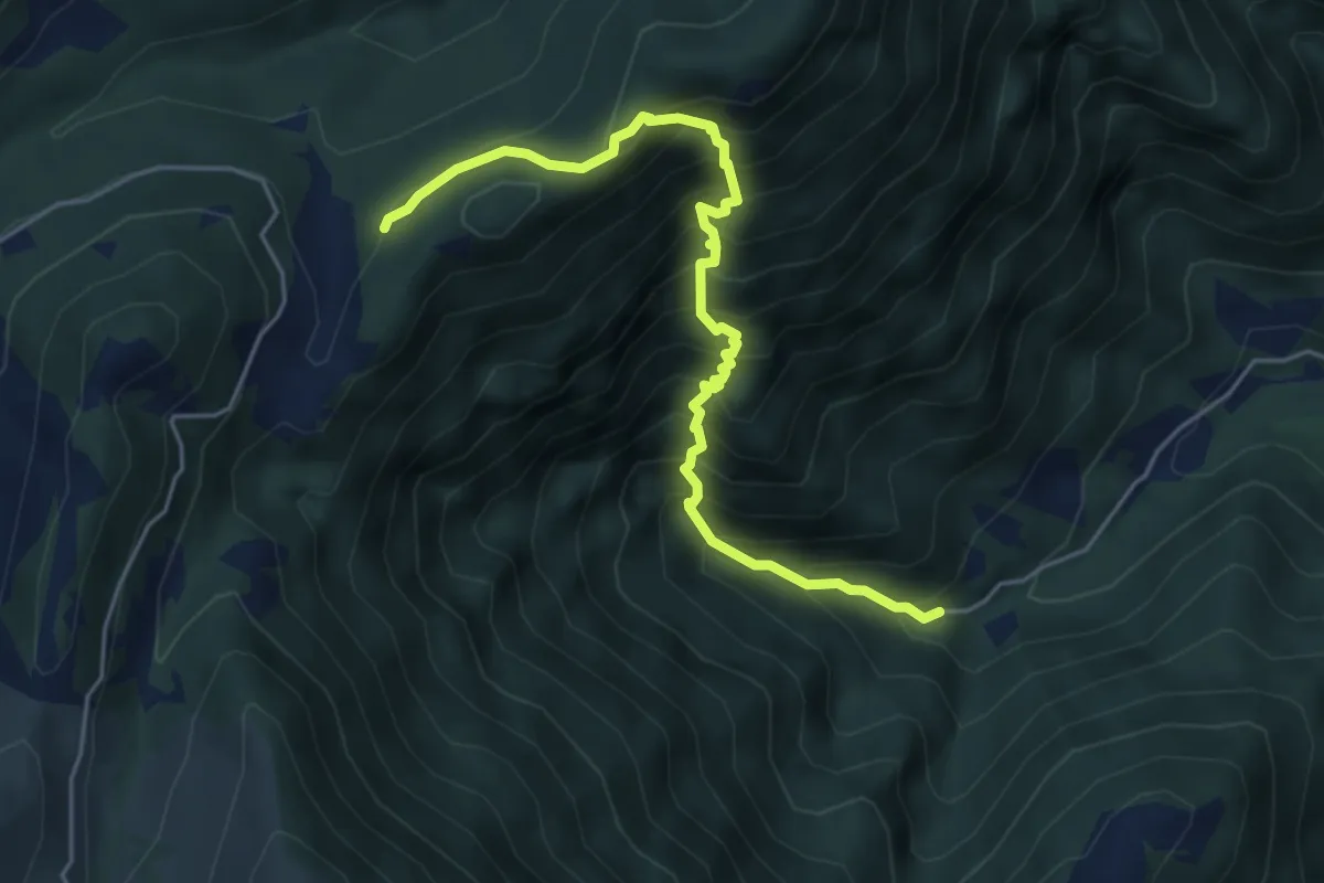
Medium · Trail
Alano - località La Pila – Porte Salton - Malga Camparona - innesto percorso 849
5.3 km · ↑ 778 m · 2 h 57 min · 3 km away
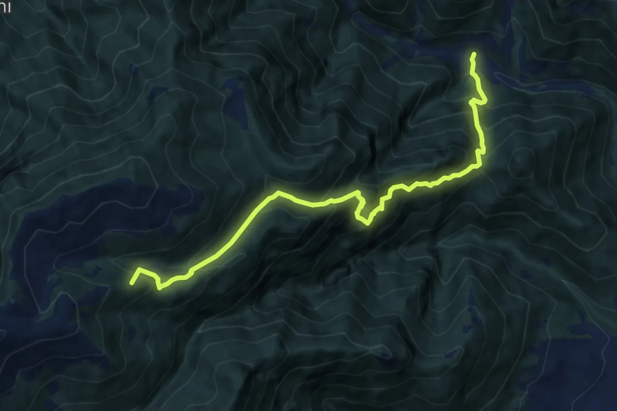
Demanding · Summit
Schievenin - case sul Tegorzo – Stalle Fontanasecca - inn. sent. 843
11.3 km · ↑ 1302 m · 5 h 30 min · 4 km away
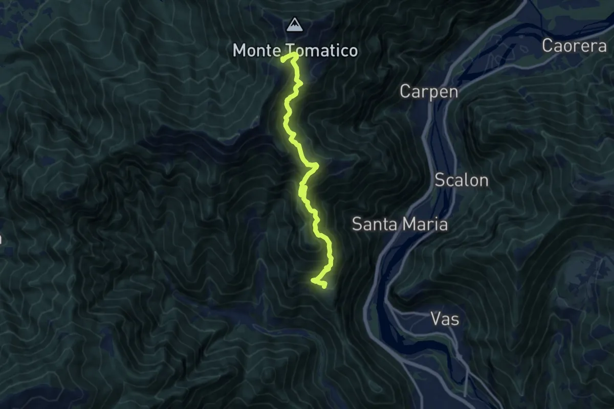
Demanding · Trail
Cilladon – Casere da Ton - Monte Tomatica - innesto sentiero 841
11.3 km · ↑ 1088 m · 5 h 1 min · 4 km away
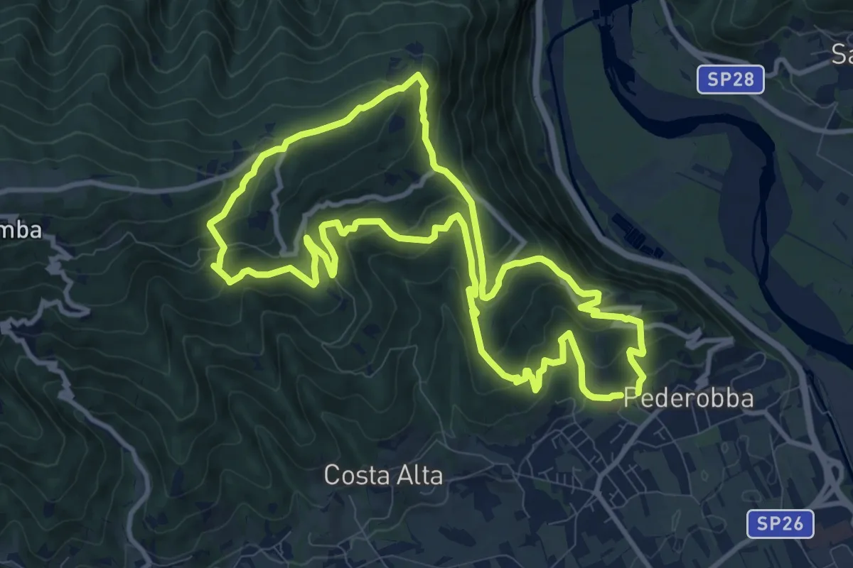
Medium · Summit
Anello del Monfenera
10.6 km · ↑ 622 m · 4 h · 5 km away
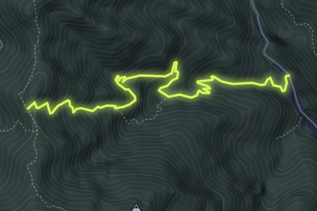
Demanding · Trail
Schievenin - Cava di pietra – Forcella d'Avien - innesto sentiero 843
6.3 km · ↑ 967 m · 3 h 35 min · 5 km away
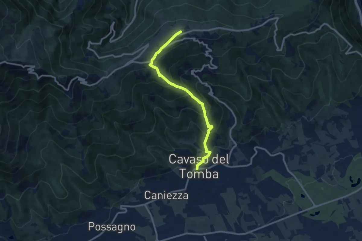
Medium · Summit
Cavaso del Tomba – Monte Tomba
7.7 km · ↑ 581 m · 3 h 4 min · 5 km away
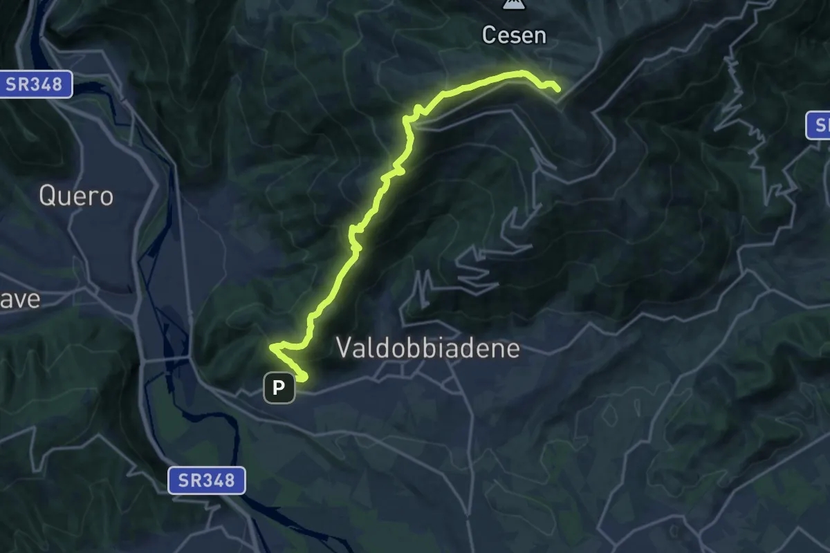
Demanding · Summit
Sentiero dei 4 Rifugi
17.2 km · ↑ 1259 m · 6 h 47 min · 5 km away
Medium · Summit
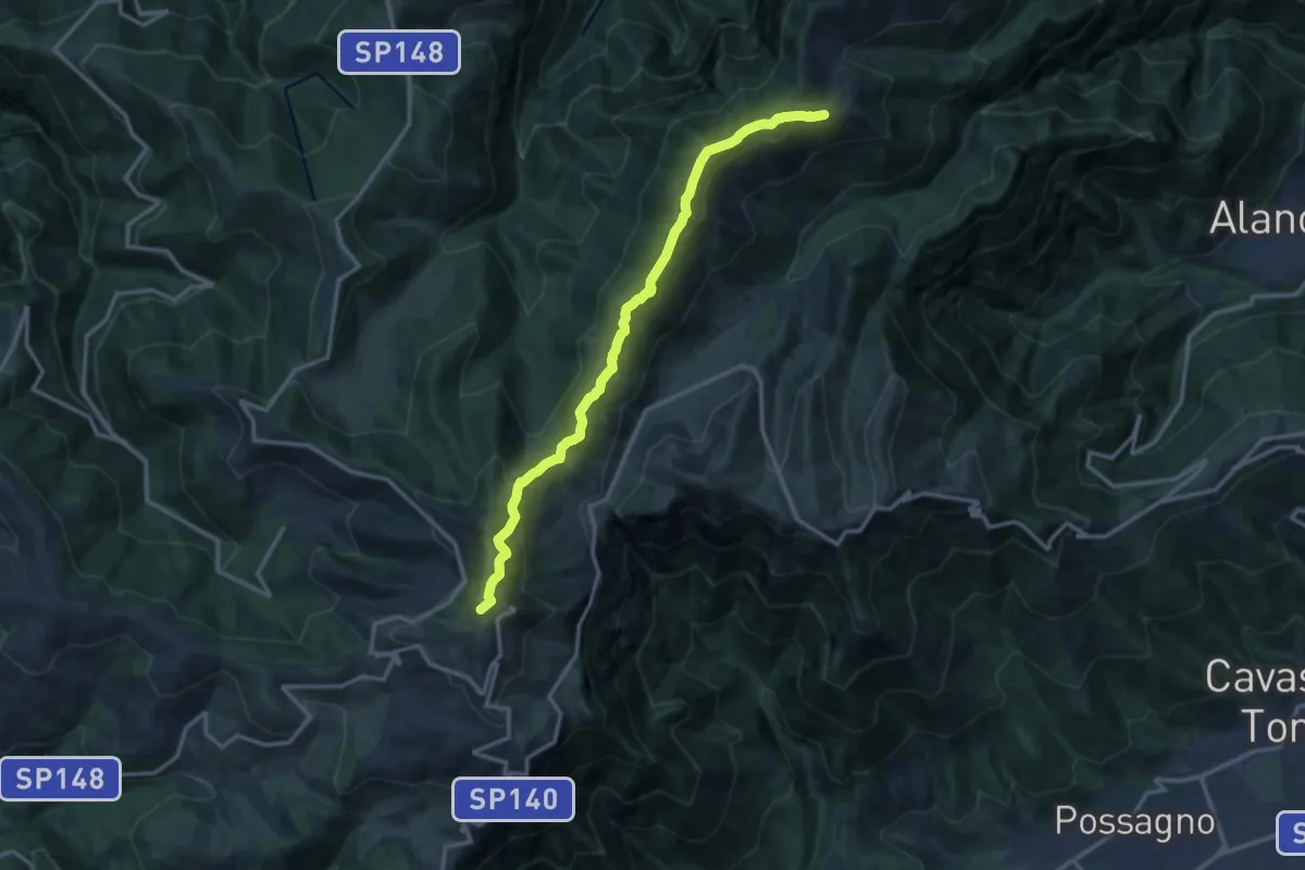
Rifugio Bassano – M. Valderoa - innesto sentiero 843
13.5 km · ↑ 711 m · 4 h 44 min · 5 km away
Medium · Trail
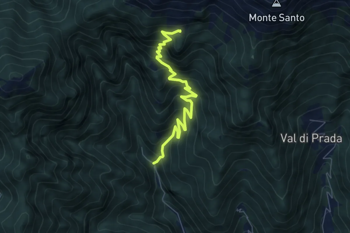
Schievenin - Palestra di roccia – Malga Sassumà - inn. sent. 847
6.3 km · ↑ 632 m · 2 h 52 min · 5 km away
Demanding · Summit
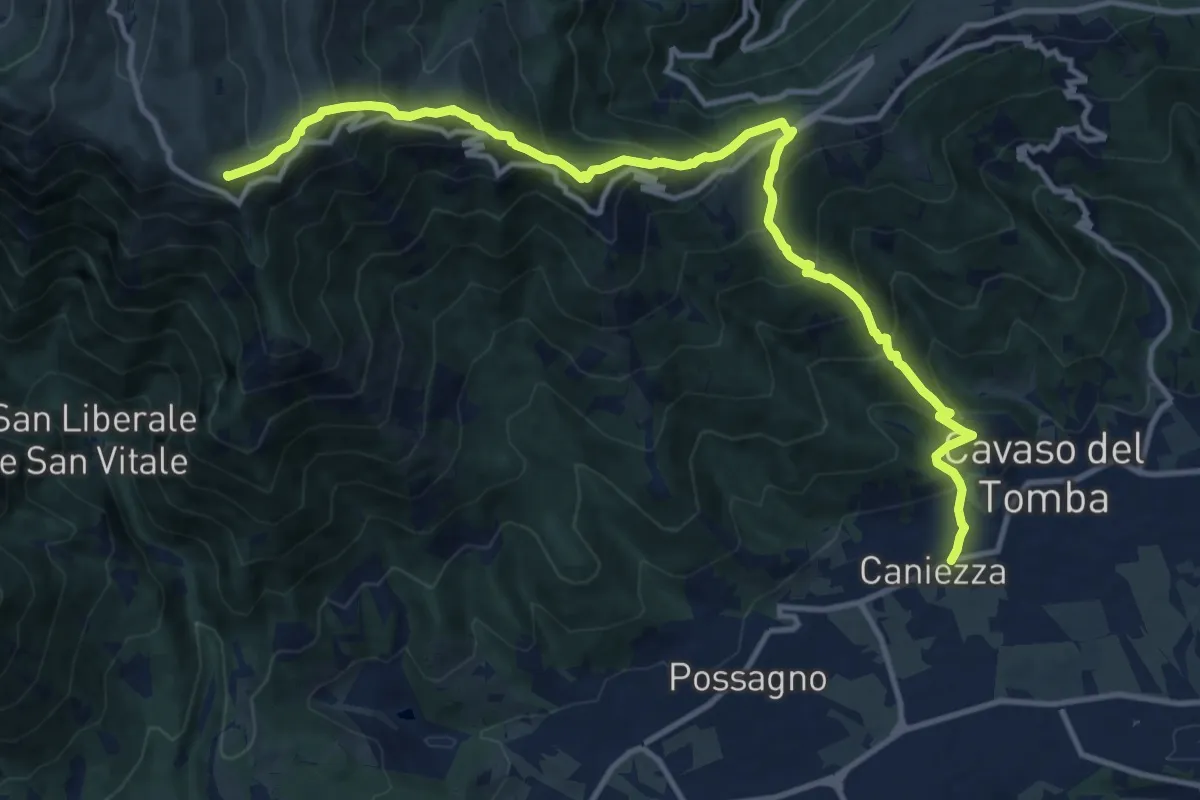
Cavaso del Tomba – Quadrivio alla Mandria
14.5 km · ↑ 1269 m · 6 h 11 min · 5 km away
Demanding · Summit
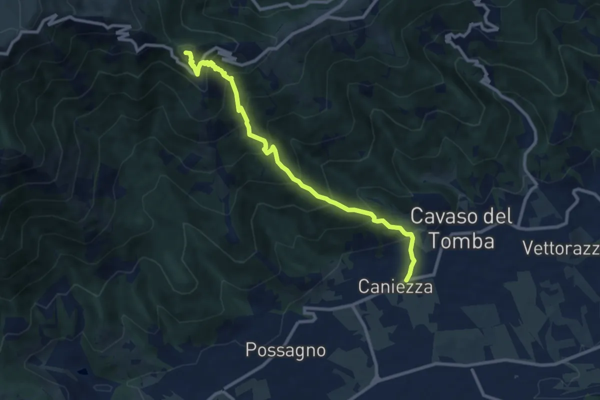
Cavaso del Tomba – Castel Cesil
8.1 km · ↑ 895 m · 3 h 52 min · 5 km away
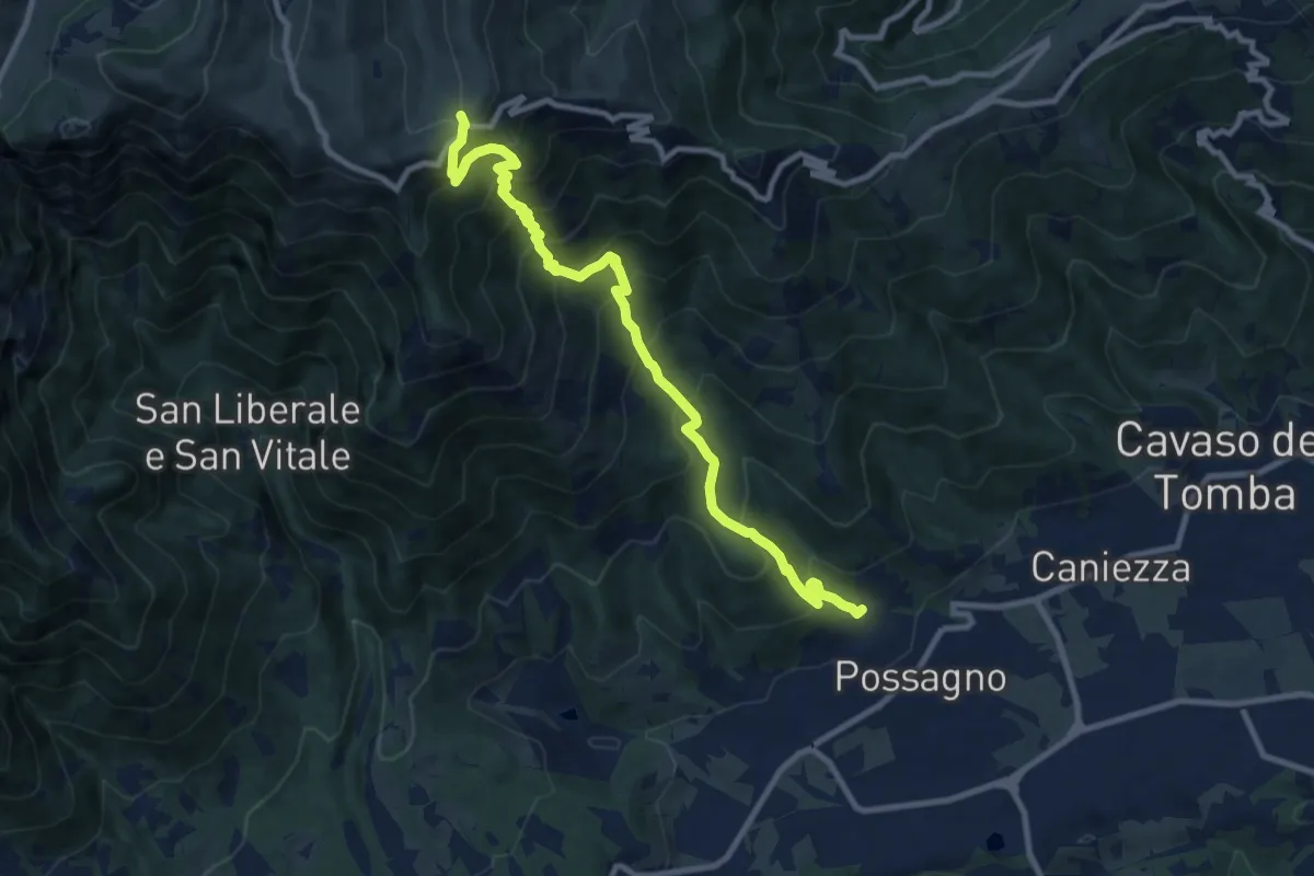
Demanding · Trail
Possagno – Bocca di Forca
10.8 km · ↑ 1182 m · 5 h 6 min · 5 km away
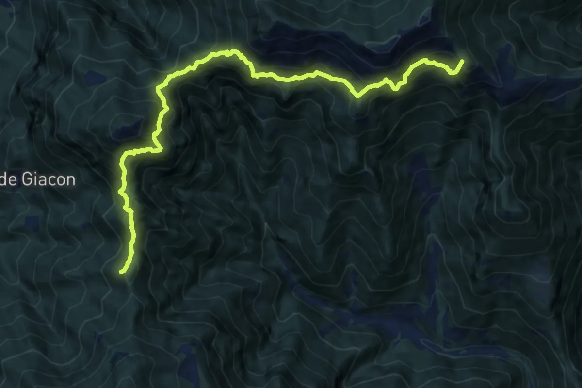
Demanding · Summit
Stalle Pàoda - da sent.. 844 – sotto Forcella d'Avien - innesto sentiero 843
13.1 km · ↑ 1482 m · 6 h 18 min · 6 km away
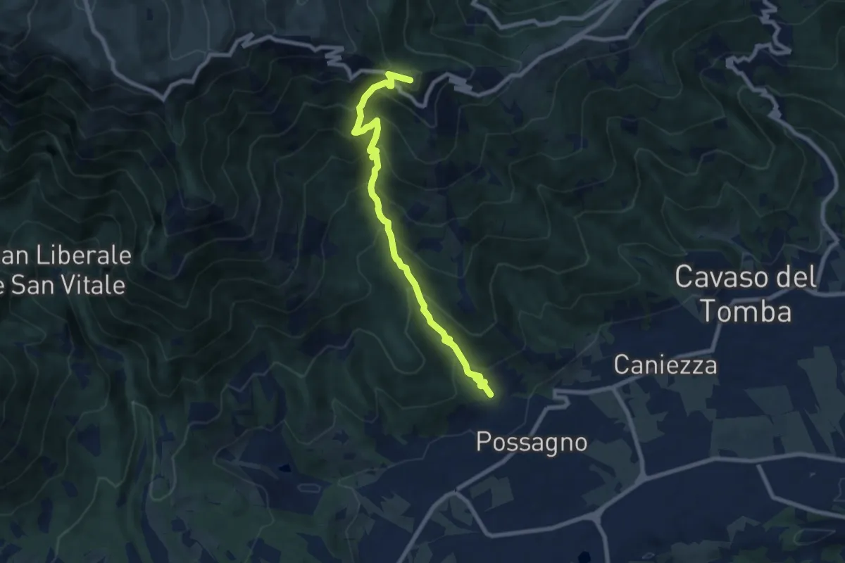
Medium · Summit
Sentiero Pietro Dal Broi
7.8 km · ↑ 764 m · 3 h 30 min · 6 km away
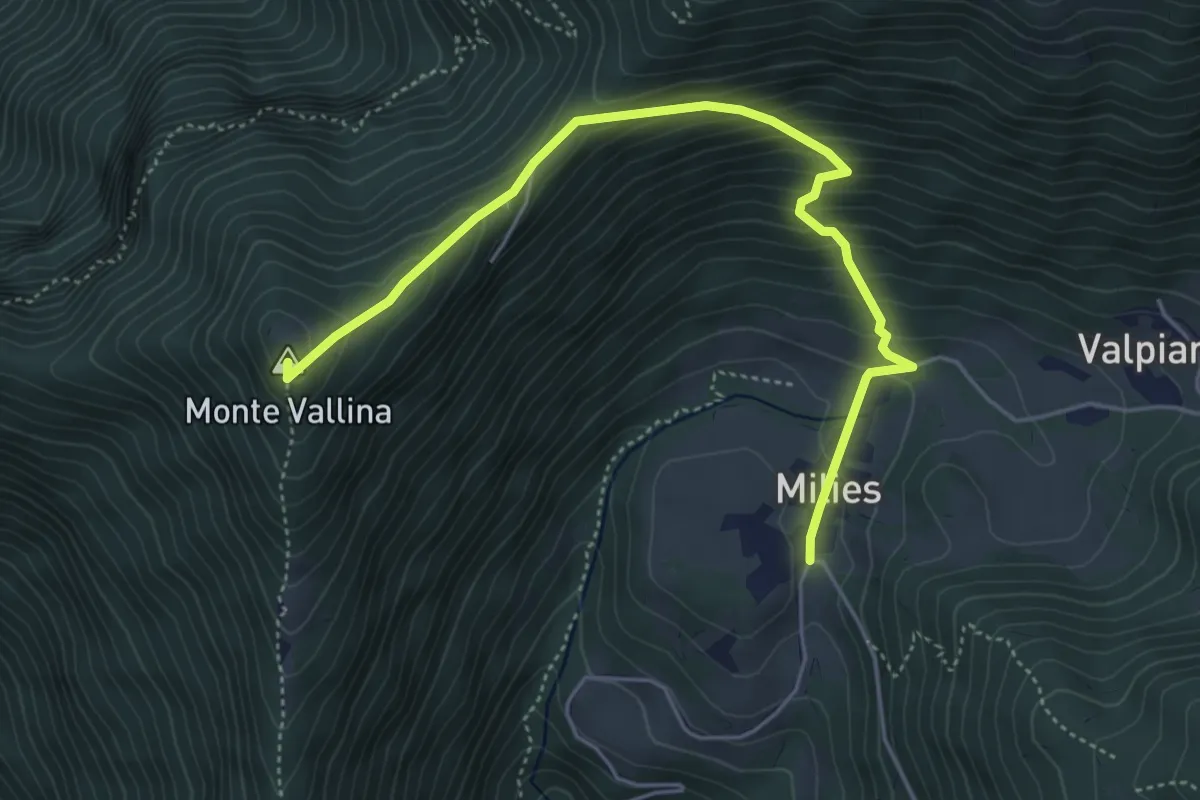
Medium · Summit
Segusino Riva Grassa – Milies
5.4 km · ↑ 390 m · 2 h 7 min · 6 km away
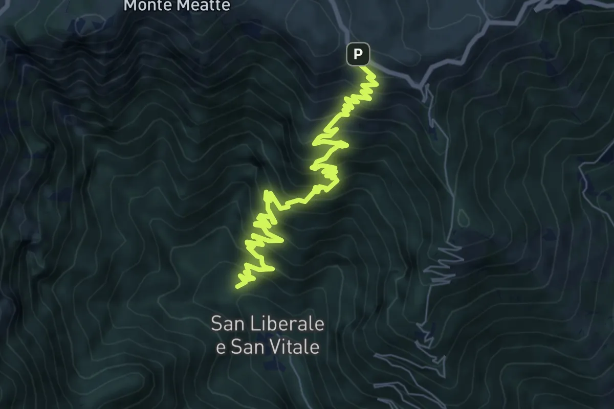
Demanding · Trail
S. Liberale - q.ta 631 - da sent. 151 – Malga Vedetta e S.P. 141
9.1 km · ↑ 870 m · 4 h 2 min · 6 km away
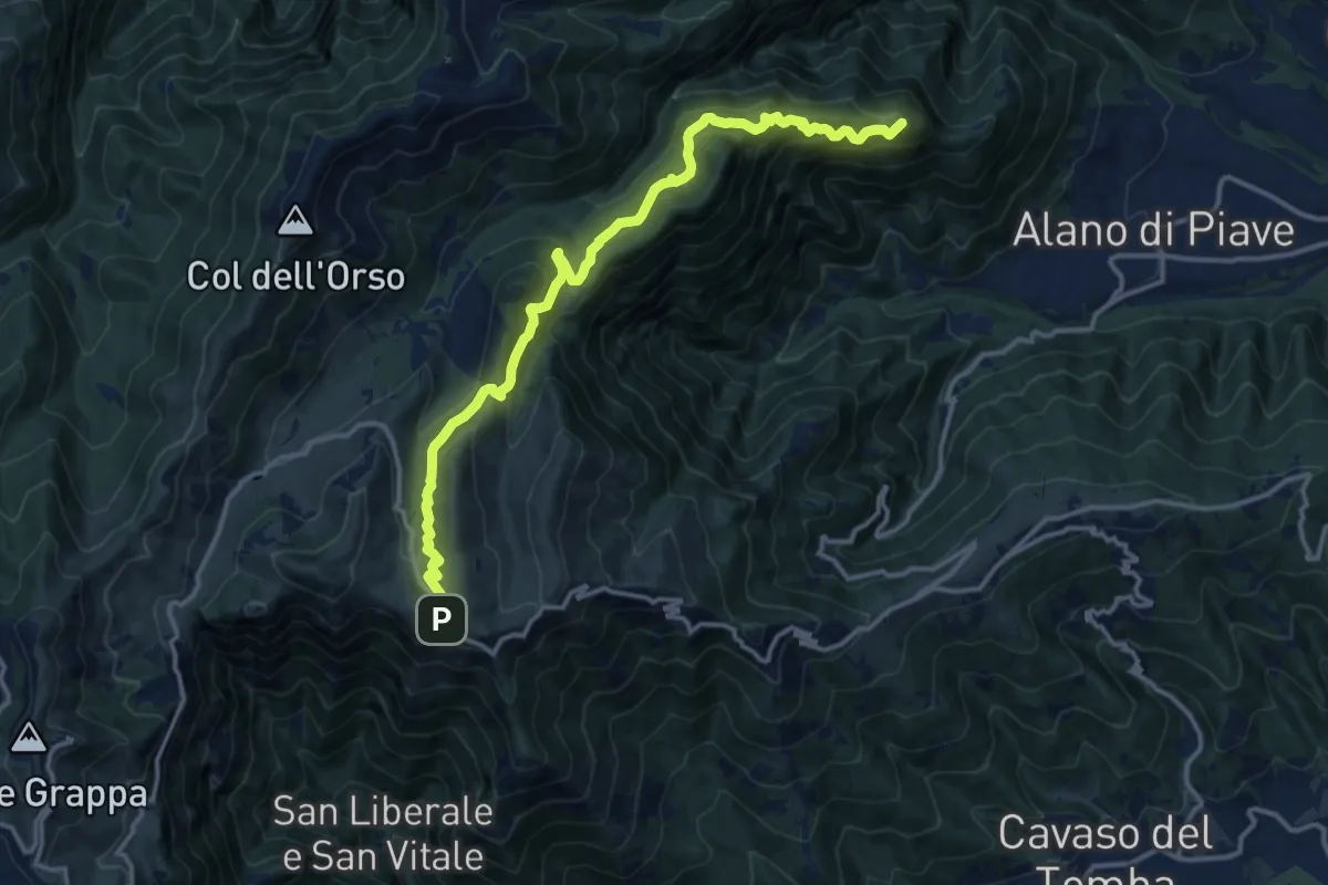
Demanding · Summit
Alano - San Pietro – Quardr. sotto Cima di Mandria - innesto sentiero 152
15.0 km · ↑ 892 m · 5 h 28 min · 6 km away
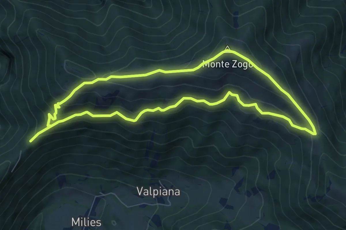
Medium · Summit
Col da Fi – Col da Fi
6.8 km · ↑ 452 m · 2 h 39 min · 6 km away
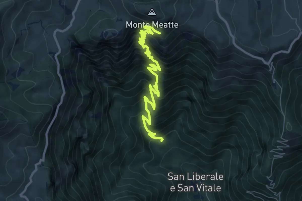
Demanding · Trail
S. Liberale -q.ta 718 - da sent. 151 – Col dea Salina - innesto sentiero 152
8.2 km · ↑ 876 m · 3 h 50 min · 7 km away
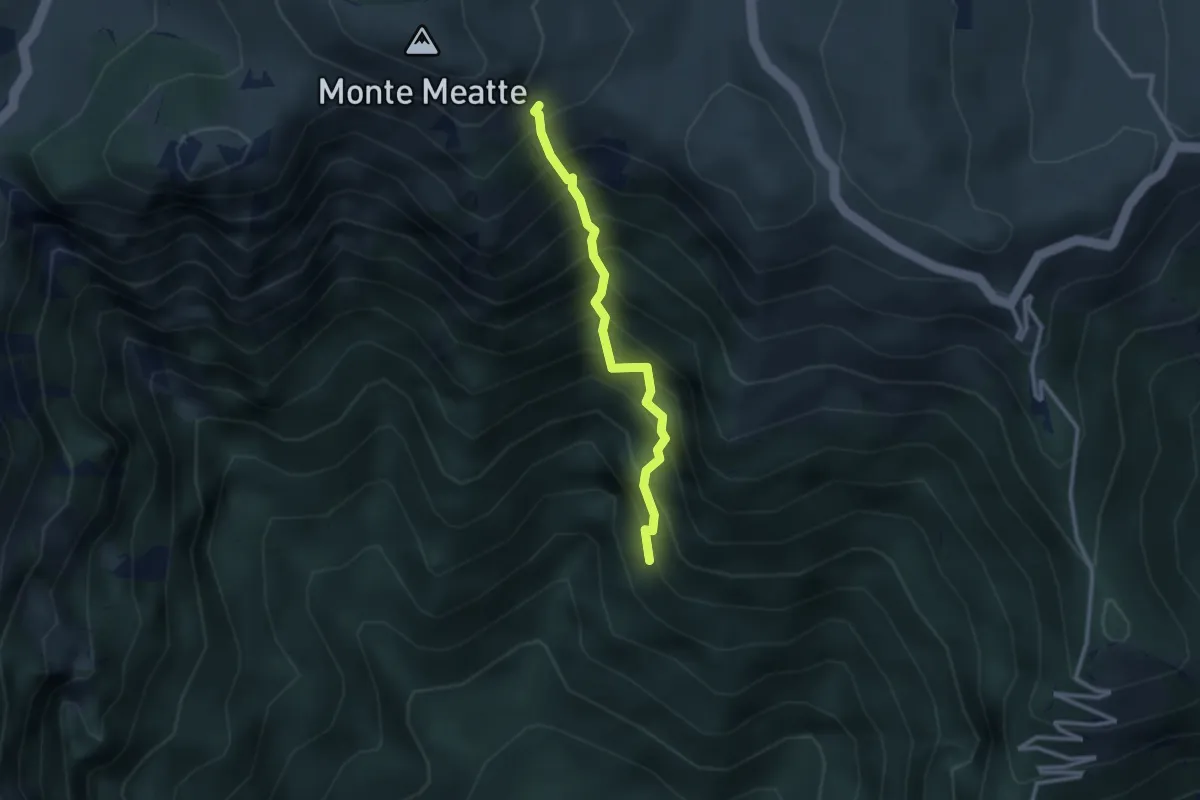
Expert · Trail
Sentiero Col del Gratarol
2.5 km · ↑ 589 m · 1 h 52 min · 7 km away
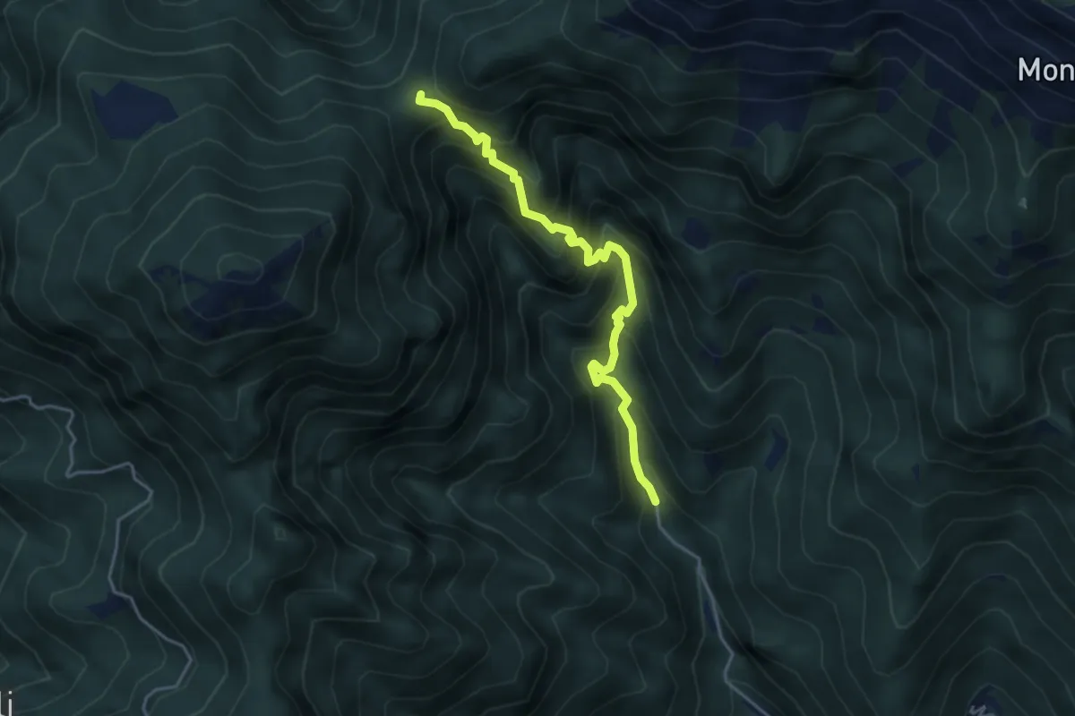
Demanding · Trail
Schievenin - Santa Barbara – Forcella Bassa
4.1 km · ↑ 529 m · 2 h 7 min · 7 km away
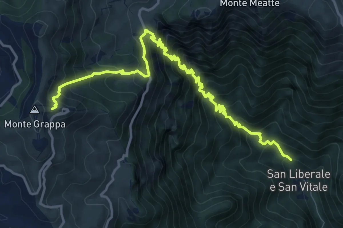
Demanding · Cabin
San Liberale – Rifugio Bassano Cima Grappa
11.4 km · ↑ 1188 m · 5 h 16 min · 7 km away
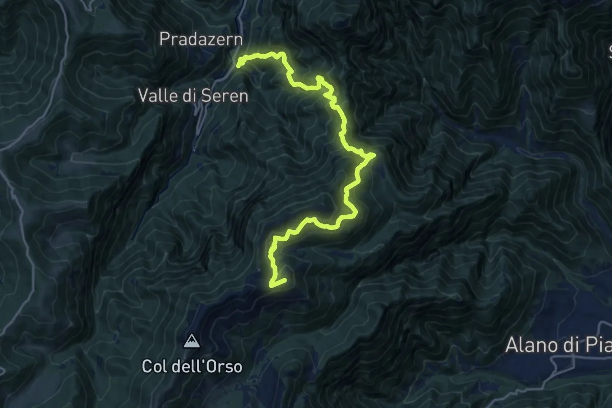
Demanding · Summit
Ponte Avien – Monte Valderoa
17.7 km · ↑ 1612 m · 7 h 41 min · 7 km away
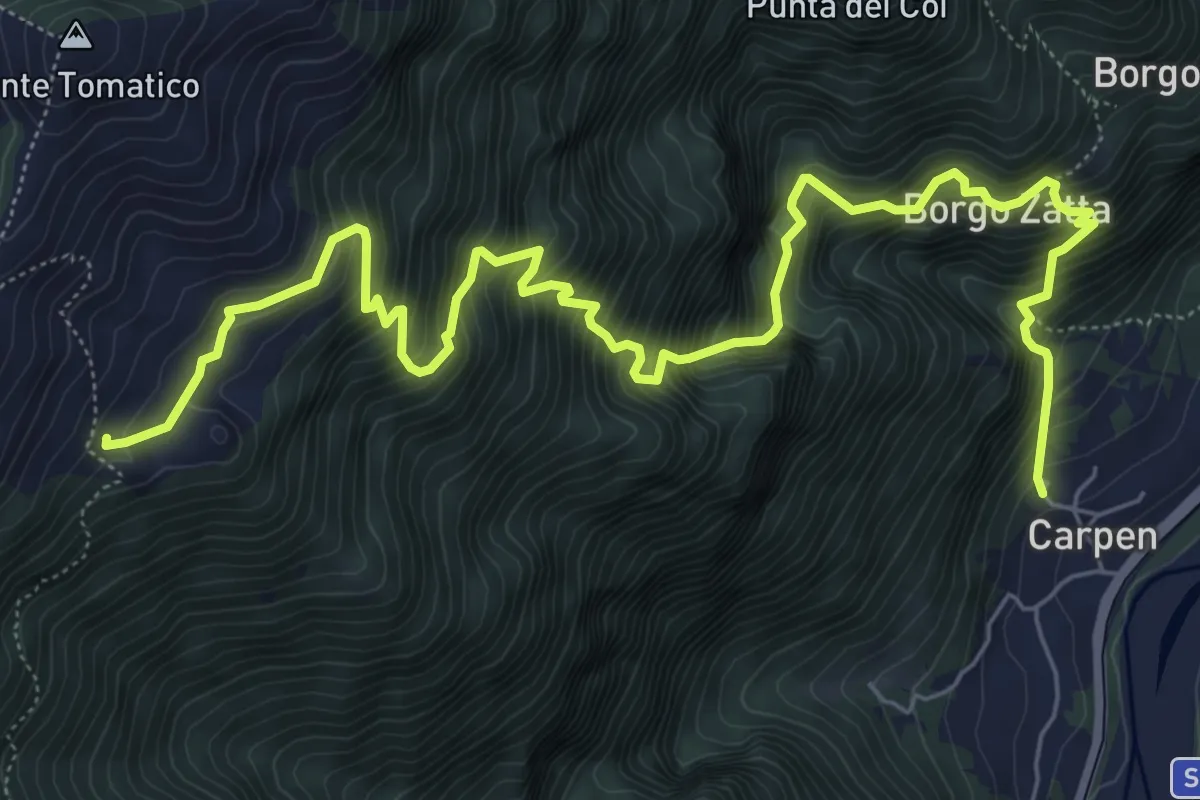
Demanding · Trail
Carpen – Stalle Ronchio - inn. sent. 844
9.1 km · ↑ 1304 m · 4 h 58 min · 7 km away
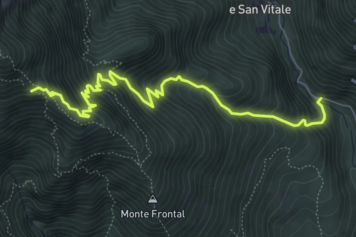
Medium · Trail
Strada per San Liberale – Cippo dei Partigiani - innesto sentieri 105-106-109
6.9 km · ↑ 794 m · 3 h 21 min · 7 km away
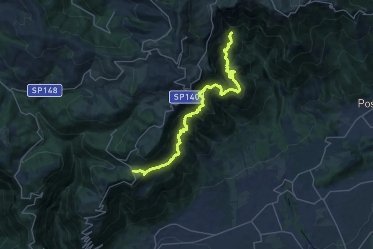
Expert · Trail
Campocroce – Val del Lastego - innesto sentiero 151
9.7 km · ↑ 1081 m · 4 h 43 min · 8 km away
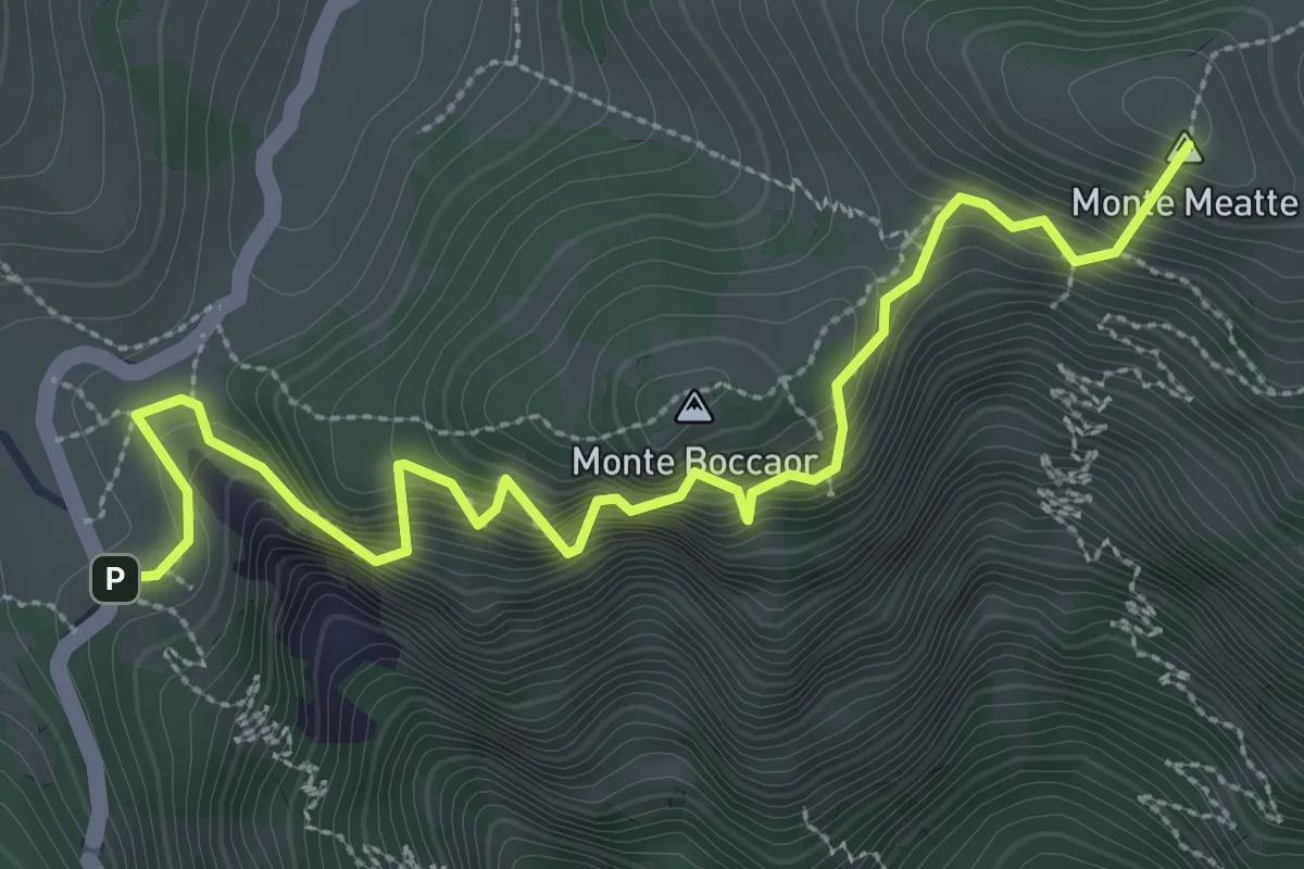
Medium · Summit
Sentiero delle Meatte
3.8 km · ↑ 499 m · 1 h 58 min · 8 km away
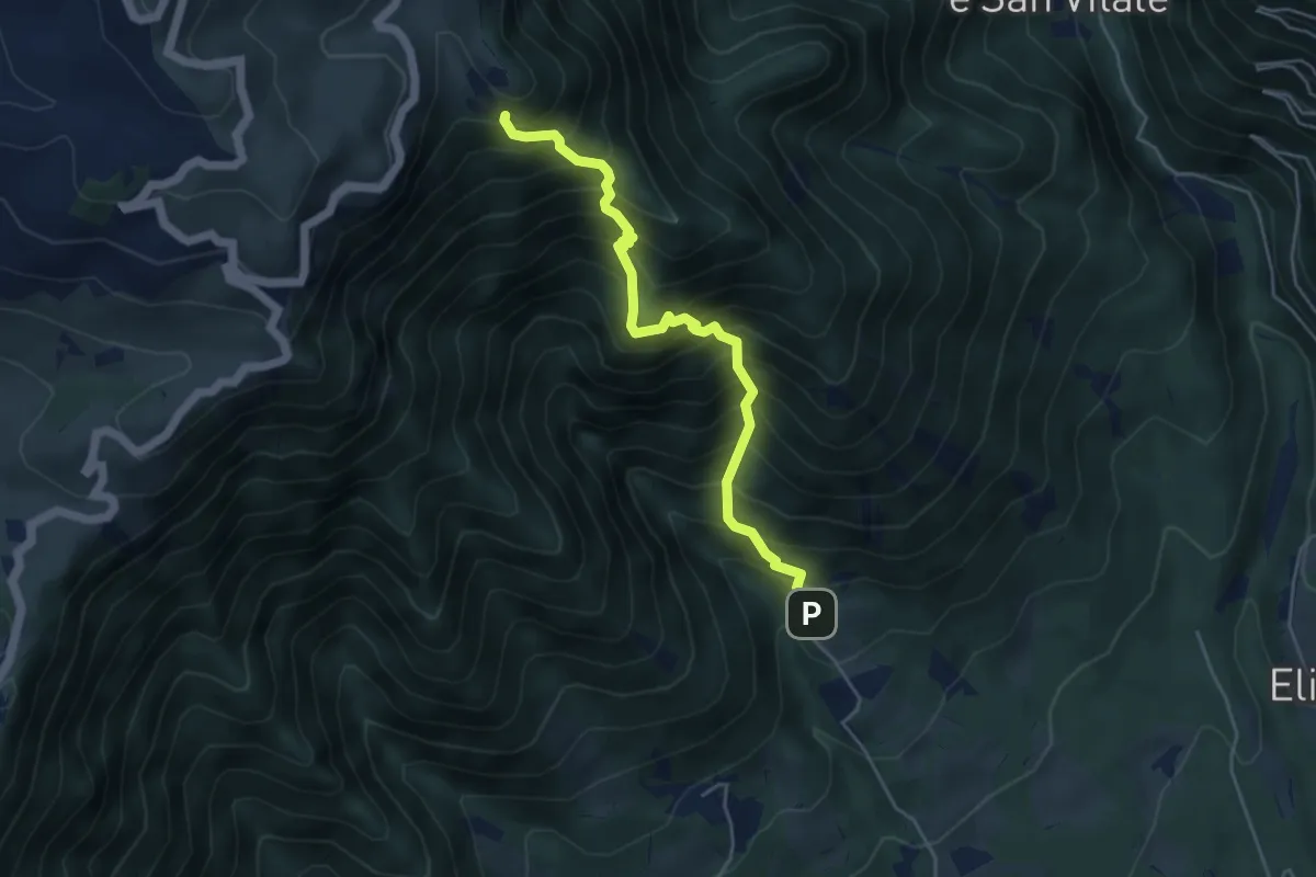
Demanding · Trail
Madonna del Covolo – Cippo dei Partigiani - innesto sentieri 105 e 109
4.7 km · ↑ 836 m · 2 h 55 min · 9 km away
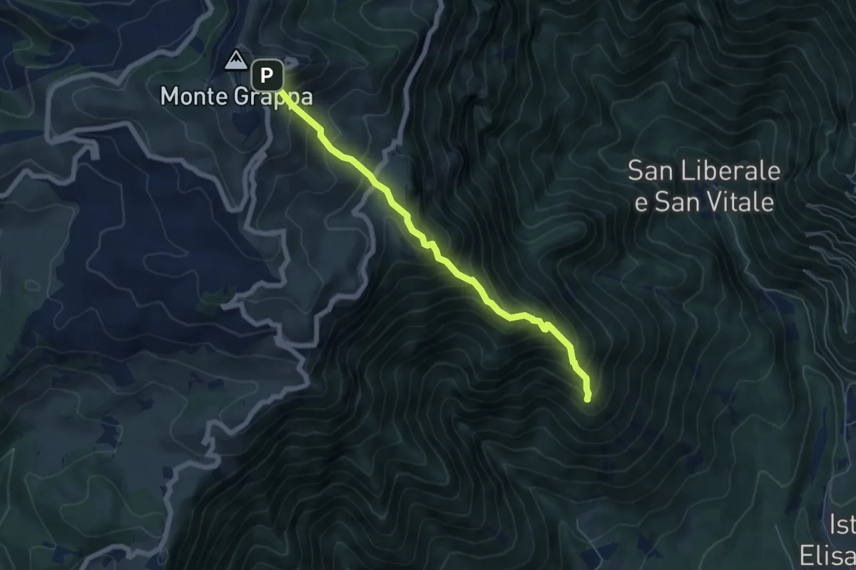
Expert · Summit
Madonna del Covolo – Rifugio Bassano - Cima Grappa
5.8 km · ↑ 749 m · 2 h 59 min · 9 km away
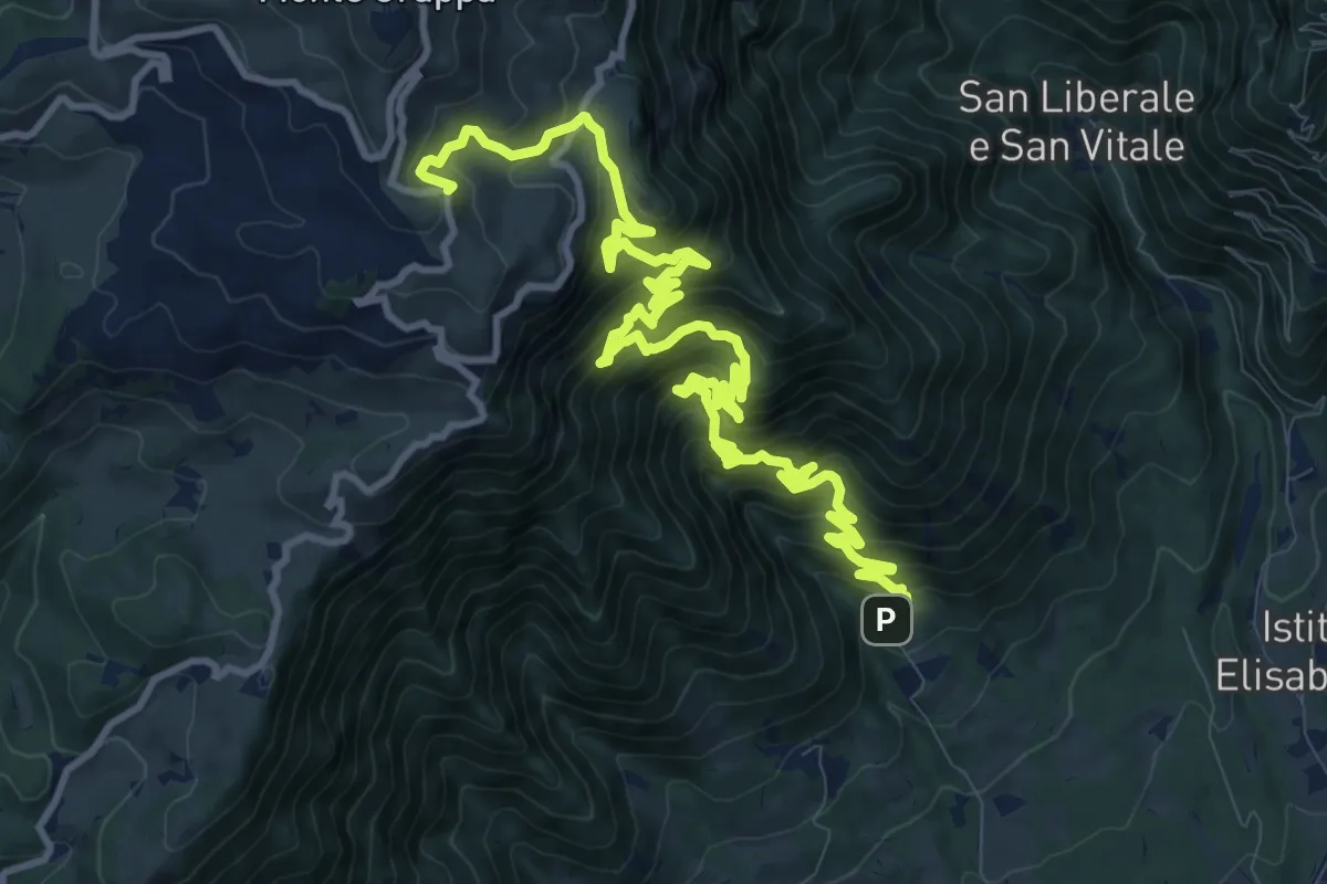
Demanding · Trail
Mulattiera del Covolo
16.1 km · ↑ 1752 m · 7 h 36 min · 9 km away
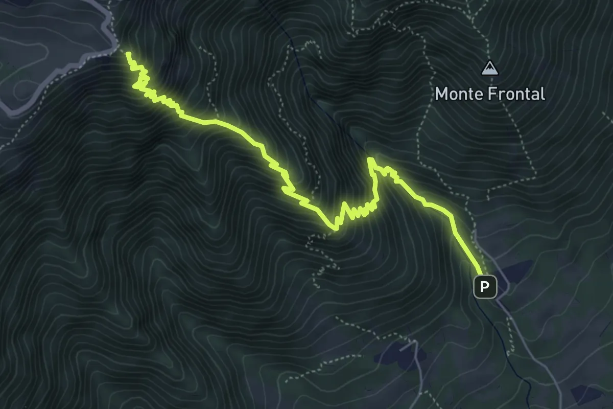
Demanding · Summit
Madonna del Covolo – M. Colombera - innesto su sentiero 100
6.9 km · ↑ 866 m · 3 h 30 min · 9 km away
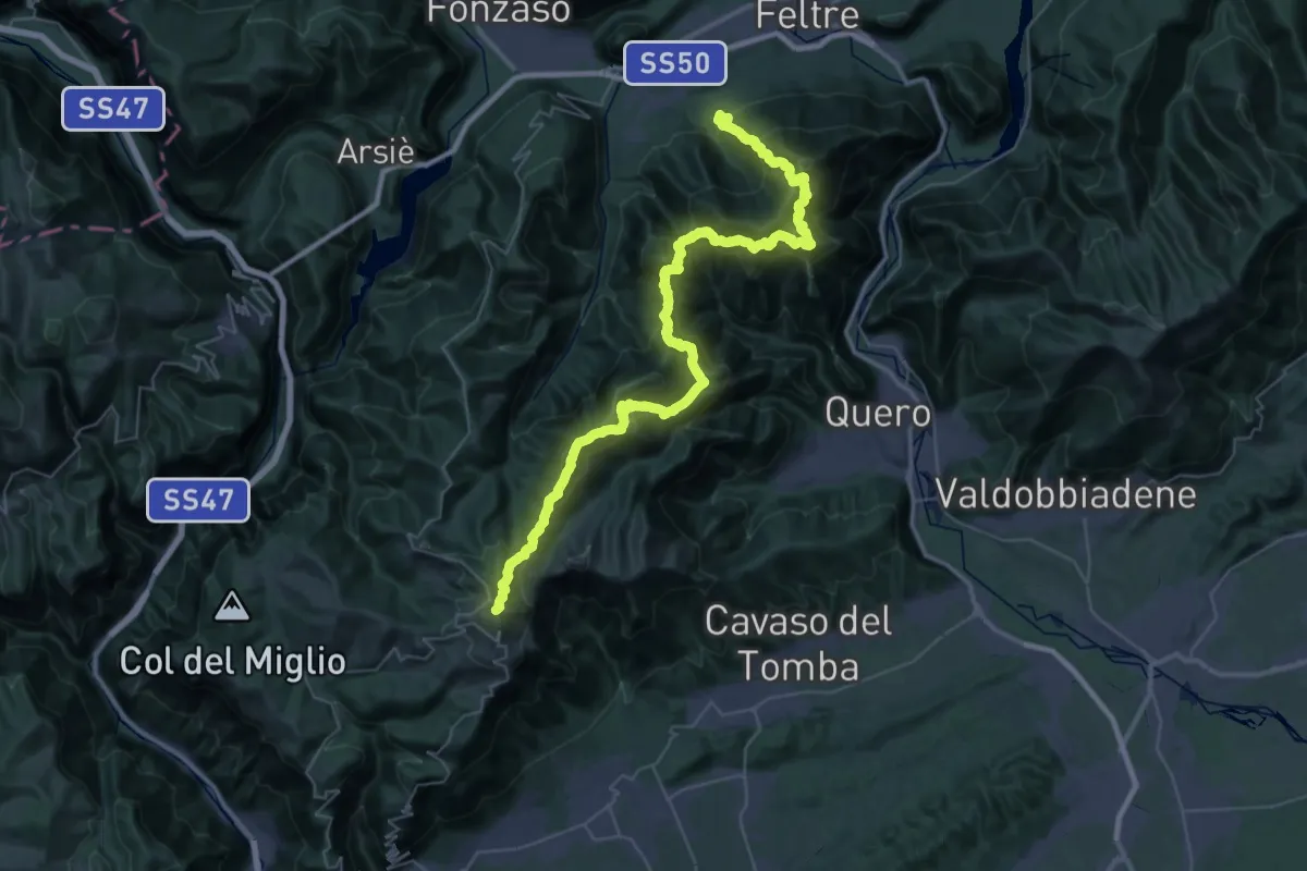
Demanding · Summit
Alta Via delle Dolomiti n. 8
52.6 km · ↑ 4703 m · 22 h 37 min · 10 km away
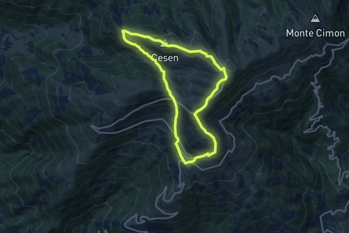
Medium · Summit
1008 Anello del Cesen
8.6 km · ↑ 641 m · 3 h 32 min · 10 km away
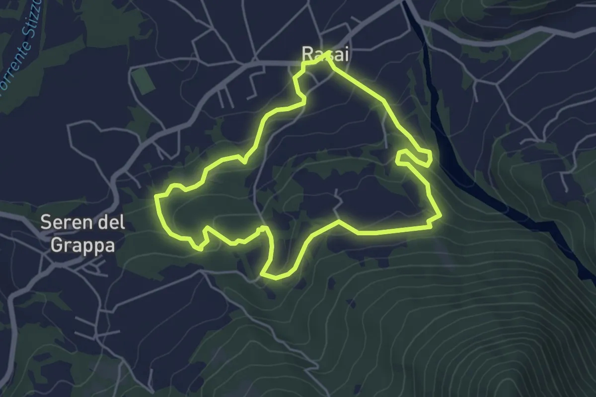
Easy · Trail
Sentiero Regina Amalassunta
4.3 km · ↑ 151 m · 1 h 24 min · 10 km away
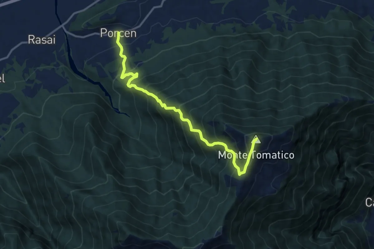
Demanding · Summit
Porcen - Colle La Croce – Monte Tomatico
9.9 km · ↑ 1209 m · 4 h 58 min · 10 km away
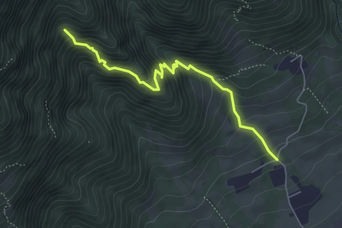
Medium · Trail
Località Fontanelle – Alta Val Cassanega - innesto sent. 102
4.8 km · ↑ 452 m · 2 h 7 min · 11 km away
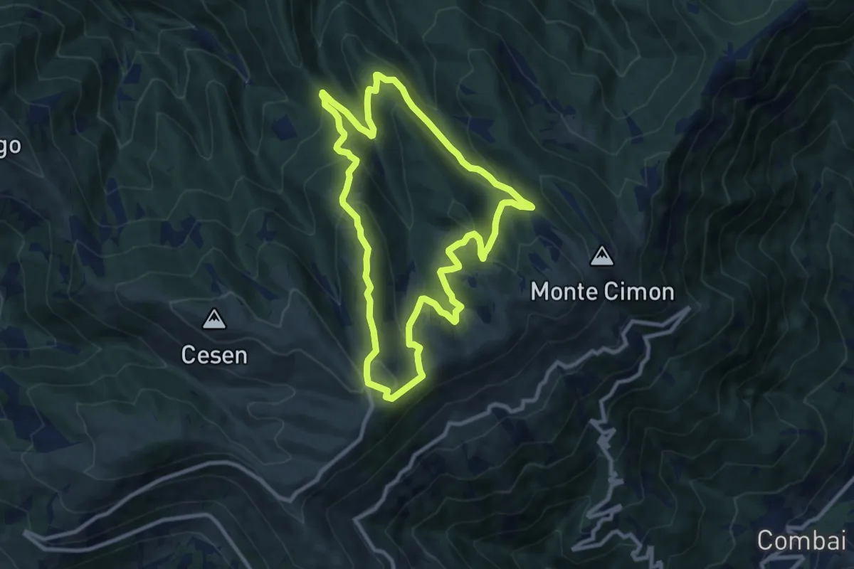
Medium · Trail
1011 Anello di Mariech
9.0 km · ↑ 454 m · 3 h 14 min · 11 km away
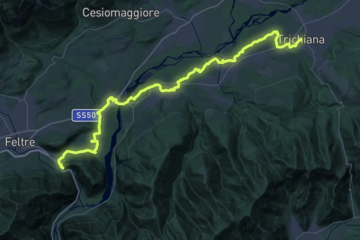
Demanding · Pilgrim path
Cammino delle Dolomiti - Tappa 30
25.8 km · ↑ 292 m · 7 h 3 min · 11 km away
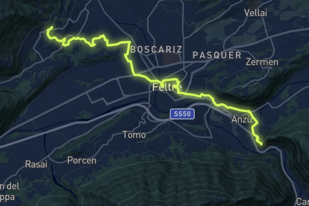
Medium · Pilgrim path
Cammino delle Dolomiti - Tappa 01
10.5 km · ↑ 310 m · 3 h 13 min · 11 km away
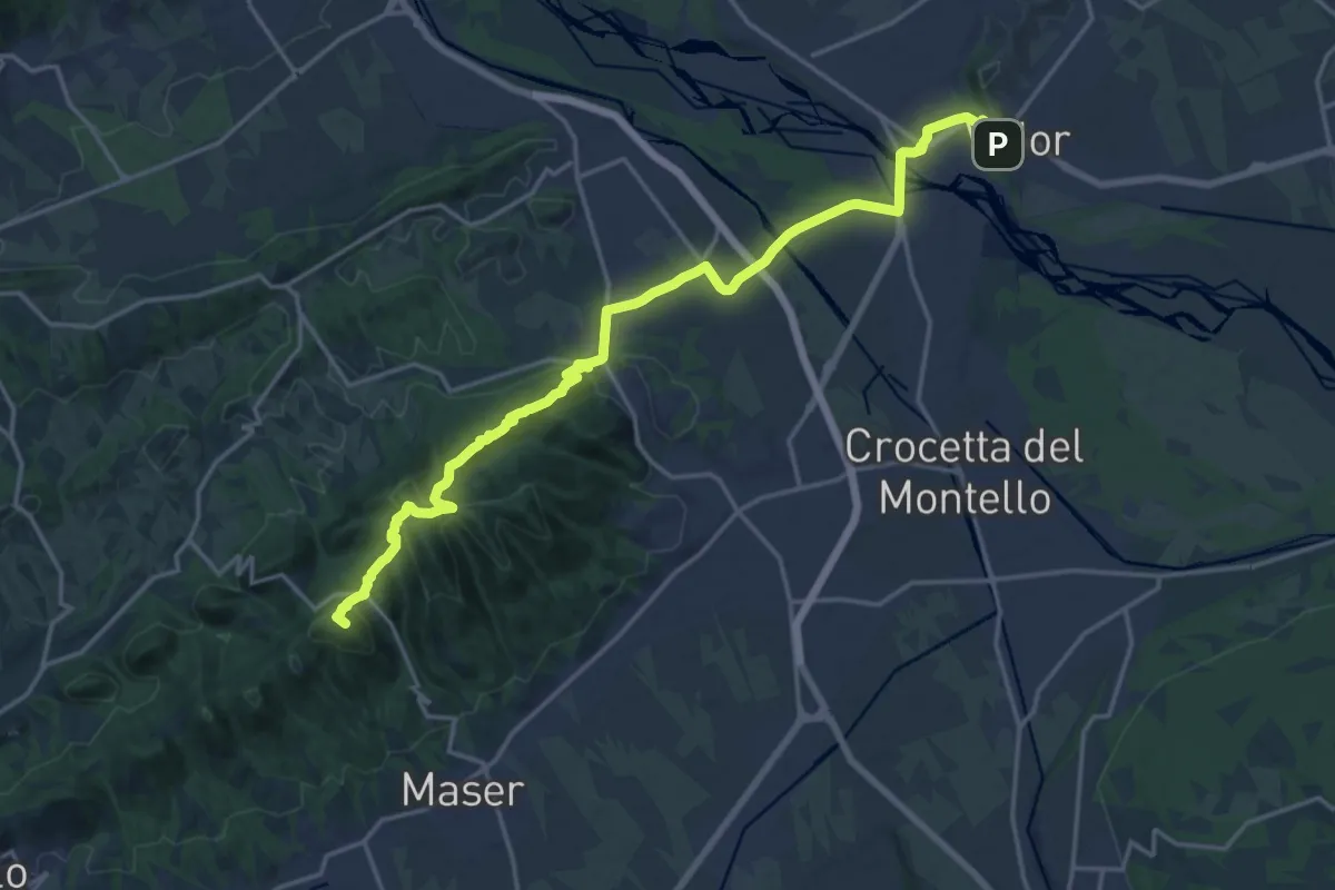
Demanding · Summit
Il Cammino di Sant'Antonio - Tappa 09G
20.4 km · ↑ 630 m · 6 h 11 min · 11 km away
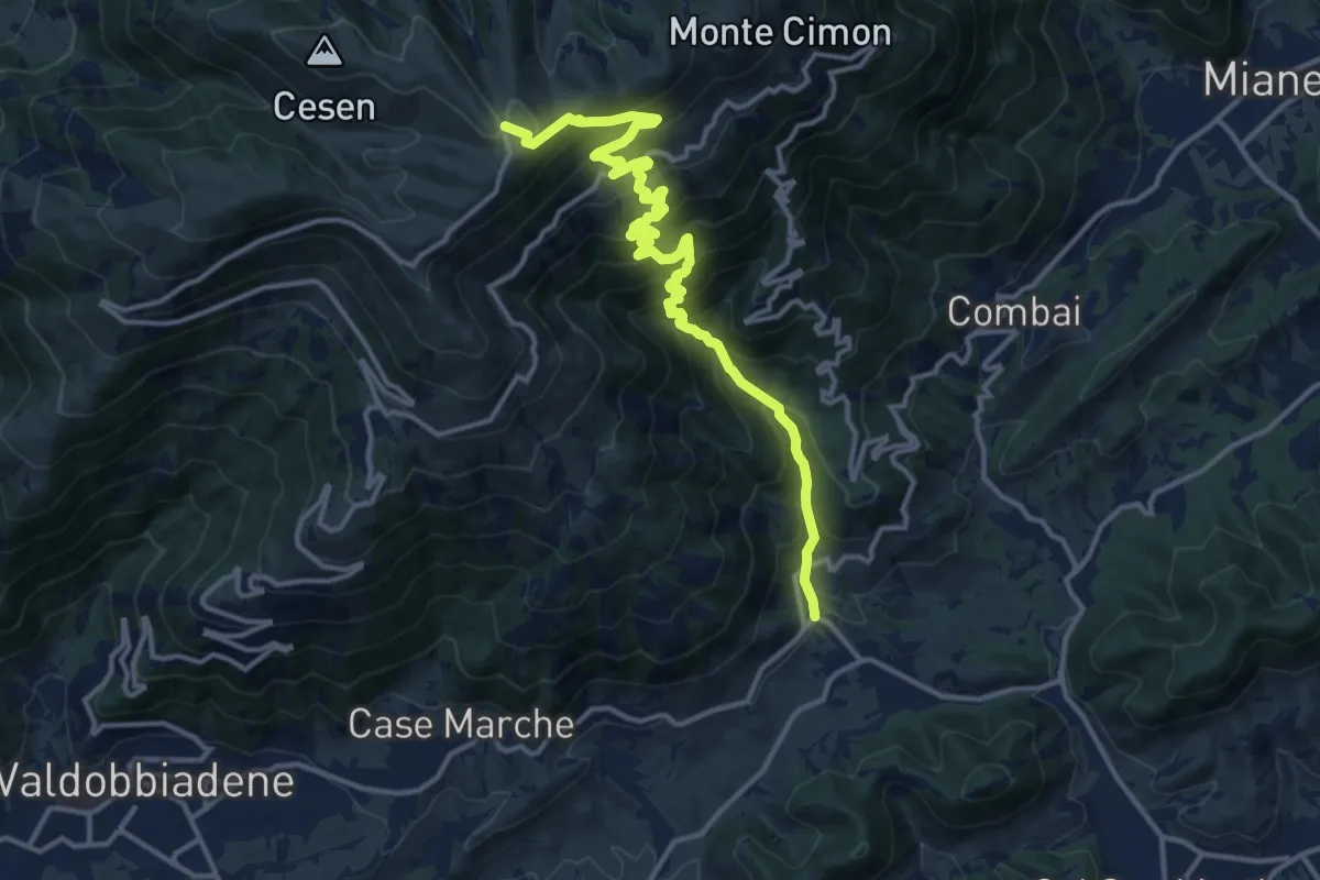
Demanding · Trail
Guia – Malga Mariech
15.4 km · ↑ 1265 m · 6 h 23 min · 11 km away
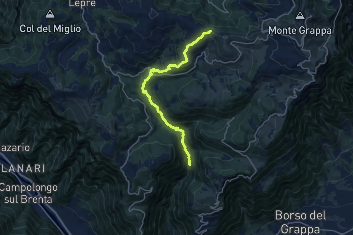
Medium · Trail
Alta Valle di Santa Felicita - da sent. 180 – Croce del Termine (quota 1451m)
12.5 km · ↑ 797 m · 4 h 41 min · 12 km away
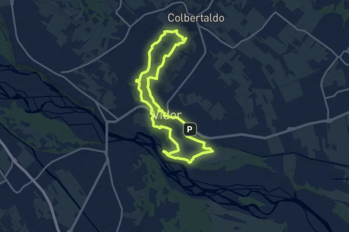
Medium · Summit
Sentiero dal Sacro al Pro...secco
8.1 km · ↑ 128 m · 2 h 18 min · 12 km away
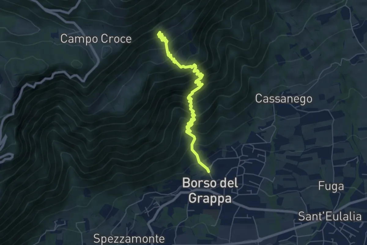
Medium · Trail
nei pressi della Chiesa – Casera de Usea - innesto sentiero 102
6.4 km · ↑ 695 m · 3 h 1 min · 12 km away
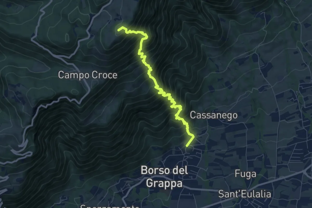
Demanding · Summit
località Rore – sotto Monte Legnarola - innesto sentiero 100
8.2 km · ↑ 1042 m · 4 h 11 min · 12 km away
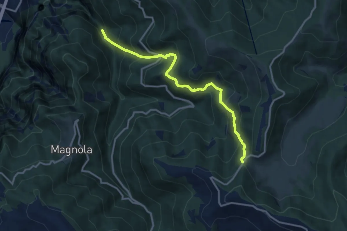
Medium · Trail
Cismon del Grappa - Faghèr - da sent. 920 – Forcelletto - inn. sent. 910
8.2 km · ↑ 748 m · 3 h 33 min · 12 km away
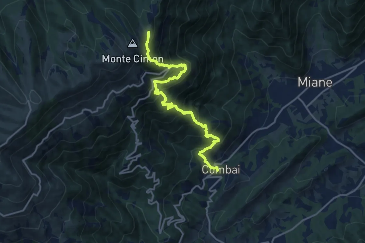
Demanding · Cabin
Combai – Rifugio Posa Puner
11.0 km · ↑ 1095 m · 4 h 59 min · 13 km away