Trails near Alano di Piave
65 hikes starting within 15 km, nearest first.
Nearest first, page 2 of 2
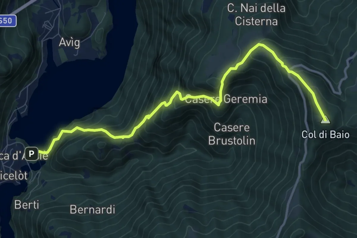
Demanding · Summit
Rocca di Arsiè – Col del Baio
10.3 km · ↑ 1081 m · 4 h 47 min · 13 km away
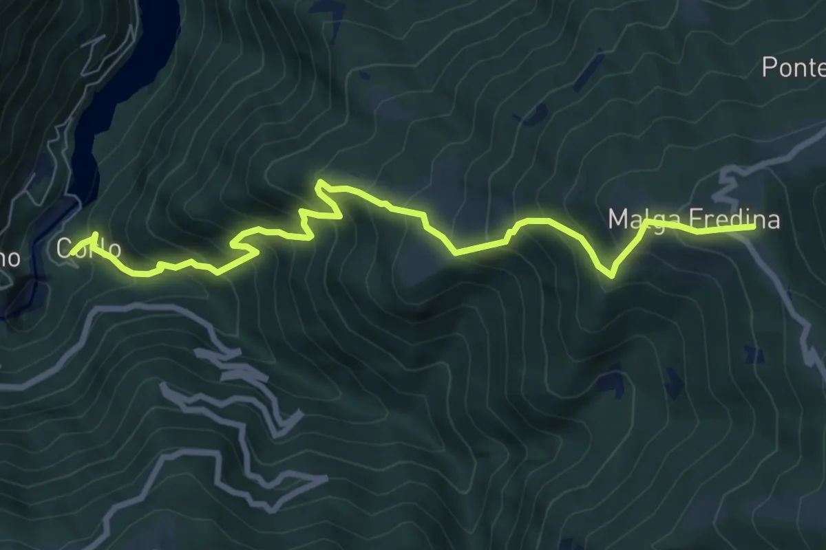
Demanding · Summit
Corlo – Monte Fredina
8.2 km · ↑ 960 m · 4 h 1 min · 13 km away
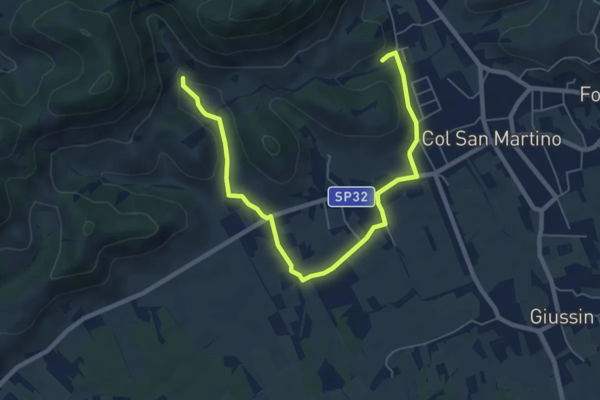
Easy · Trail
Il Terroir
3.2 km · ↑ 64 m · 56 min · 13 km away
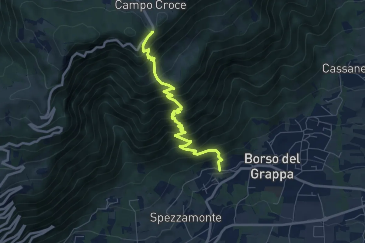
Demanding · Trail
località Busa – località Campocroce
6.4 km · ↑ 824 m · 3 h 18 min · 13 km away
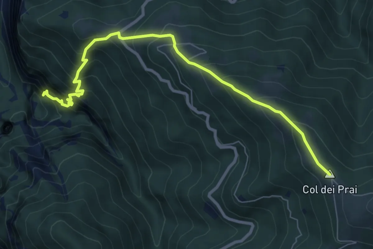
Demanding · Summit
Col dei Prai
7.1 km · ↑ 884 m · 3 h 35 min · 13 km away
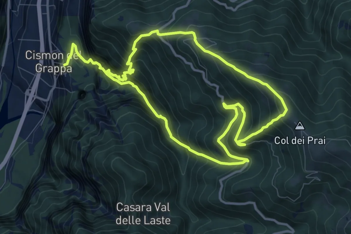
Demanding · Summit
Trodoi Trail 20
8.9 km · ↑ 976 m · 4 h 22 min · 13 km away
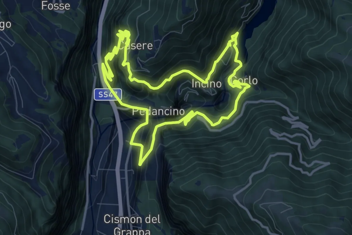
Demanding · Trail
Trodoi Trails 7
9.5 km · ↑ 1226 m · 5 h 1 min · 13 km away
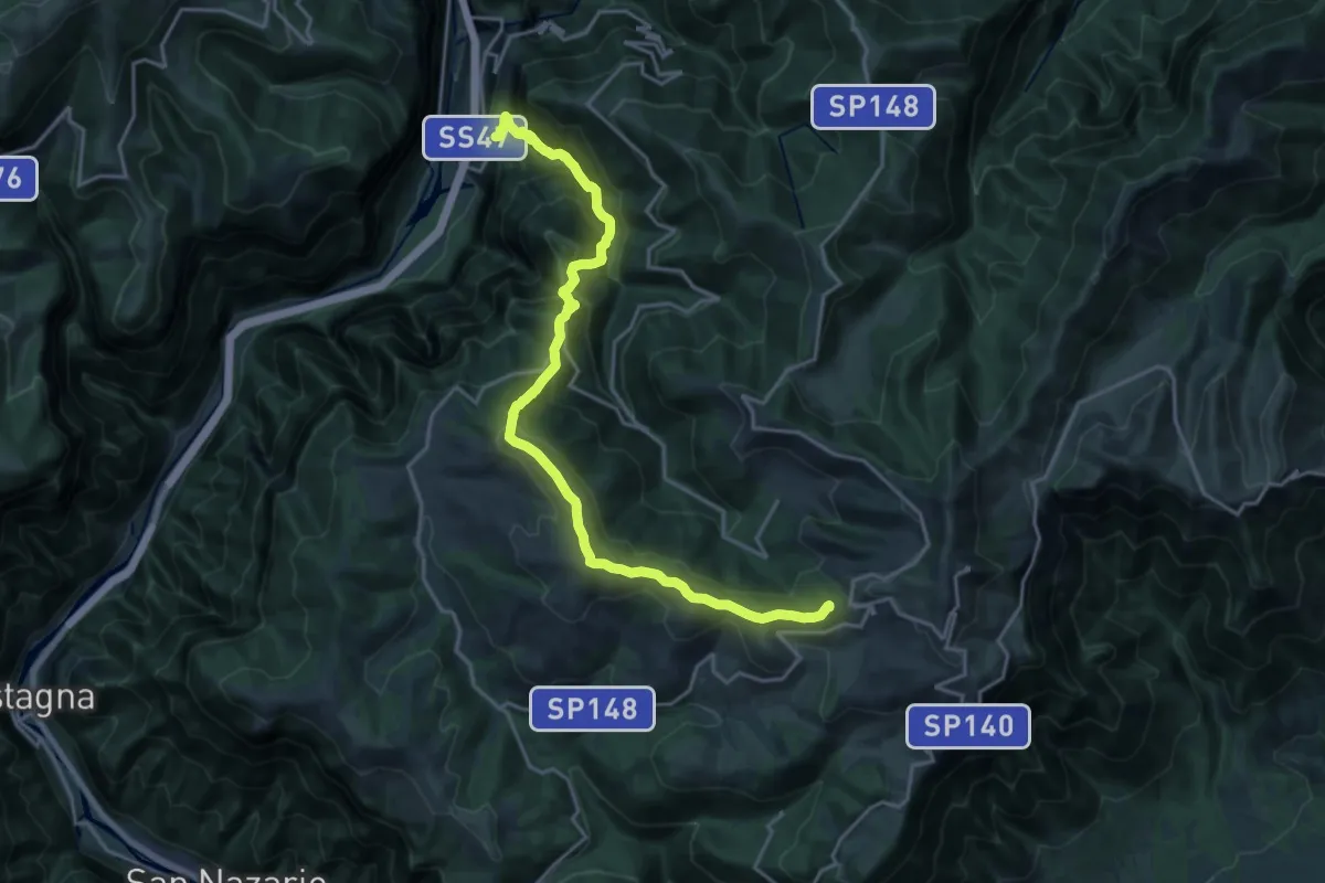
Demanding · Summit
Colli Asoloni
21.2 km · ↑ 1492 m · 8 h 14 min · 14 km away
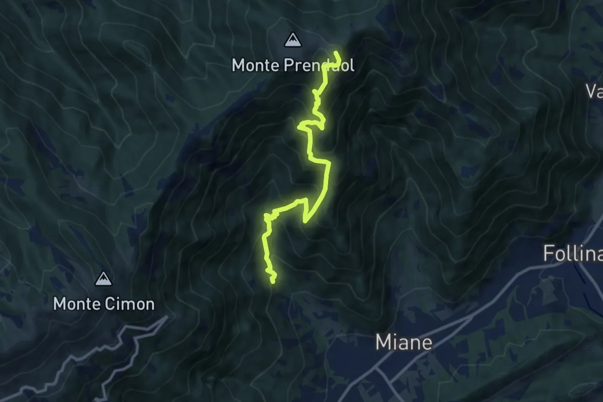
Demanding · Summit
Miane - Madonna del Carmine – Malga Mont
9.1 km · ↑ 974 m · 4 h 16 min · 14 km away
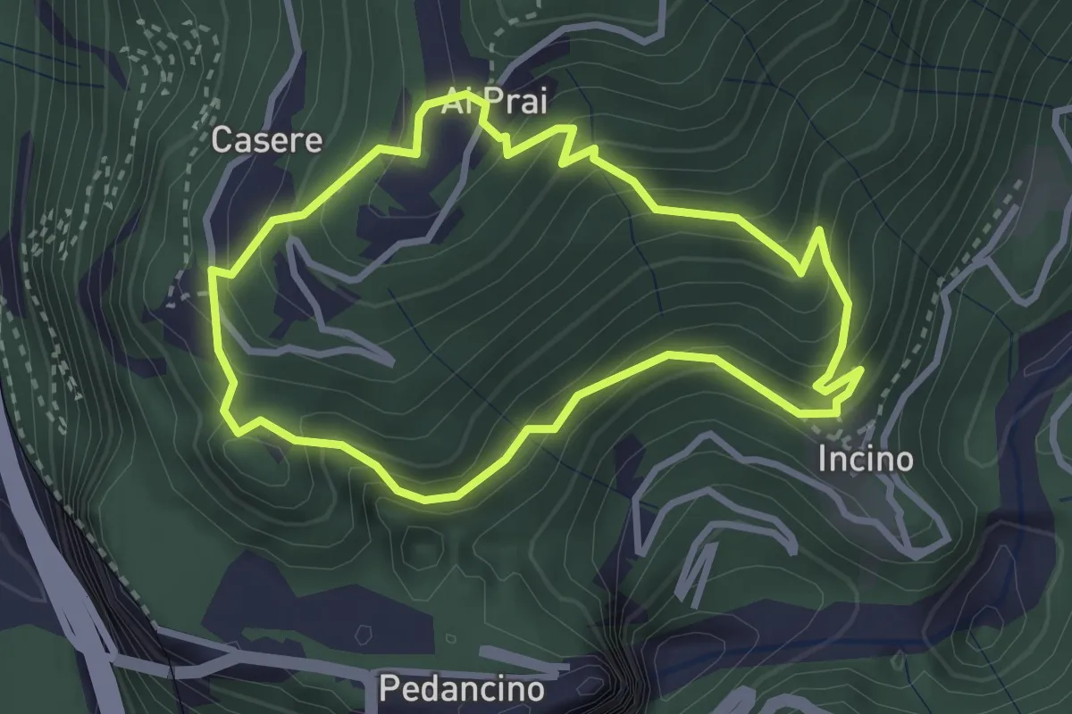
Medium · Trail
Anello di Incino
2.8 km · ↑ 285 m · 1 h 19 min · 14 km away
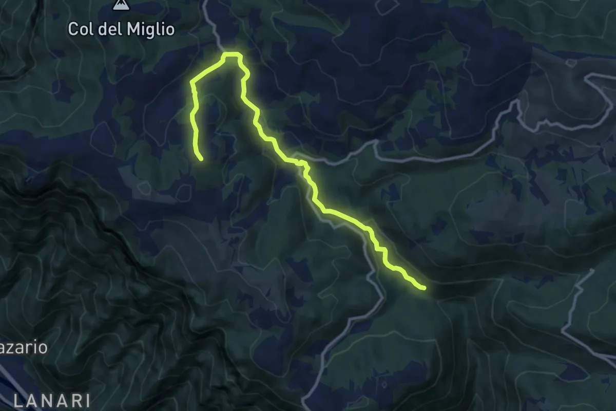
Medium · Trail
Cason Pianaro - da sent. 970 – San Giovanni sul Grappa
10.8 km · ↑ 337 m · 3 h 16 min · 14 km away
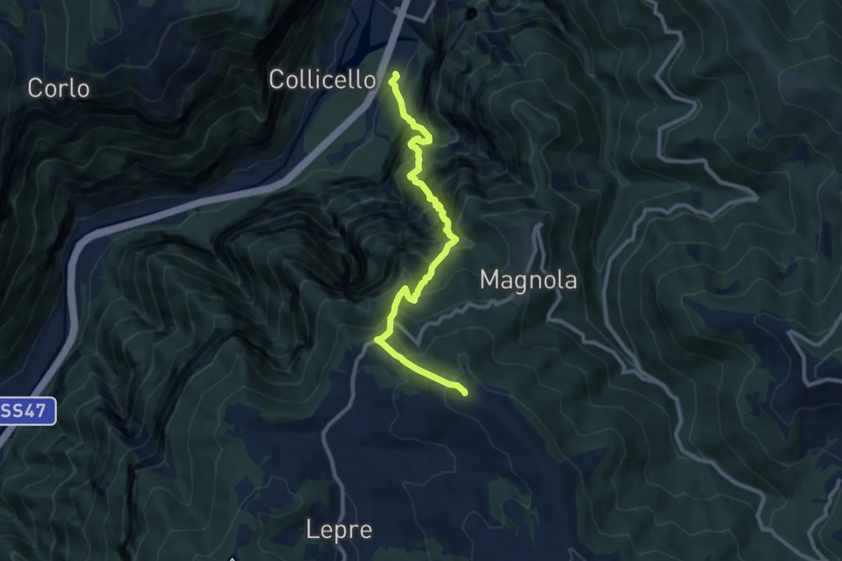
Demanding · Summit
Cismon del Grappa – Col della Beretta
8.5 km · ↑ 1392 m · 5 h 2 min · 14 km away
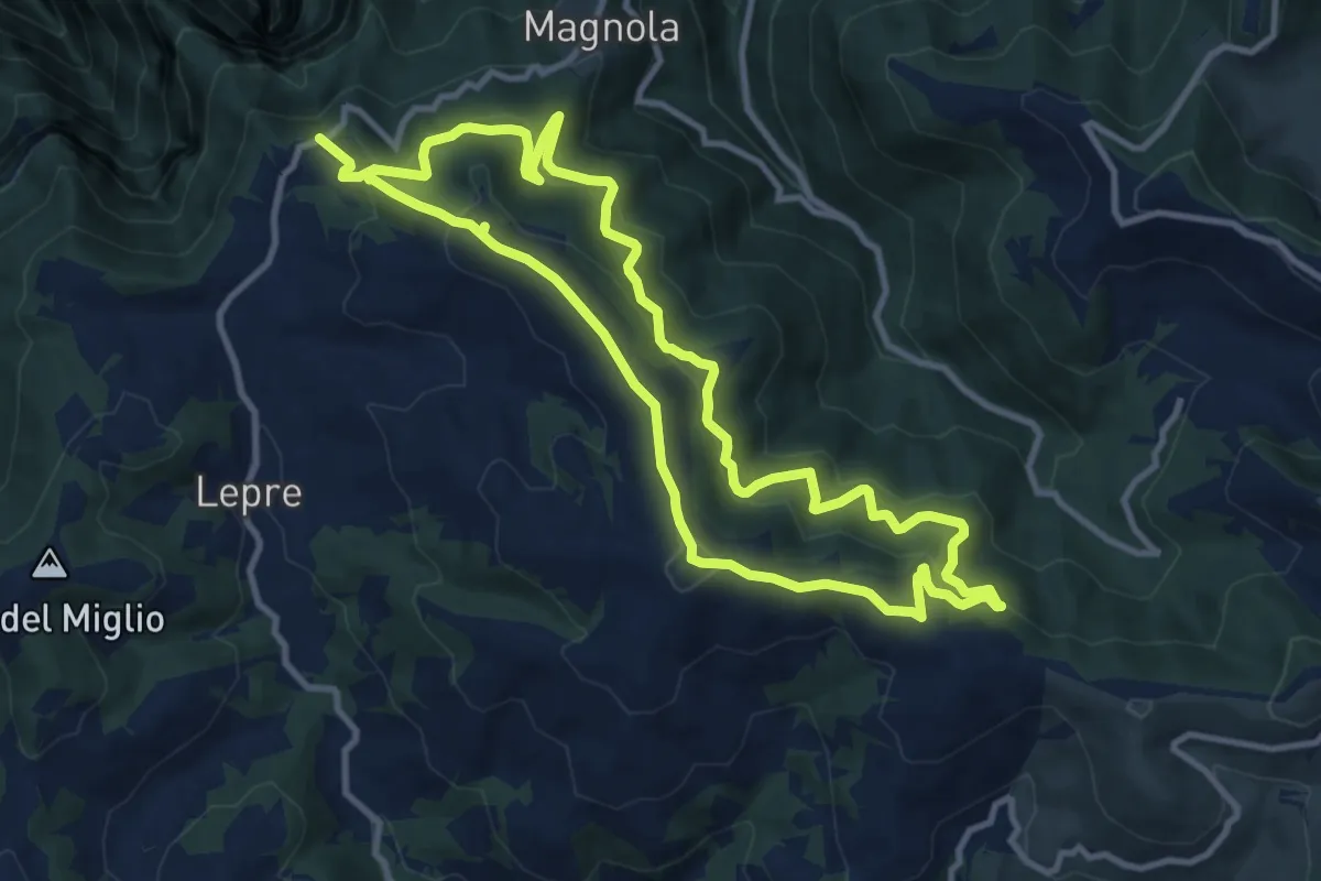
Medium · Summit
Trodoi Trails 16
10.5 km · ↑ 556 m · 3 h 52 min · 14 km away
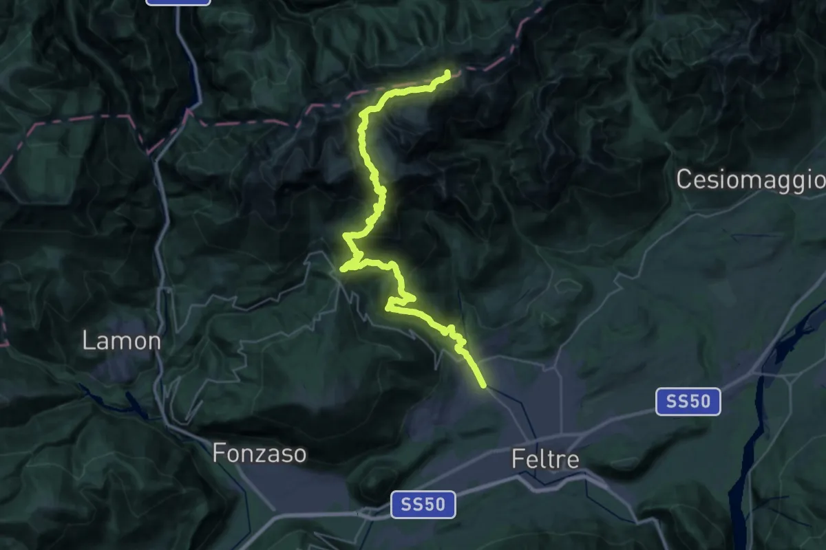
Expert · Summit
Pedavena Feltre – Passo Comedon - Confine Regione
37.8 km · ↑ 2687 m · 14 h 45 min · 14 km away
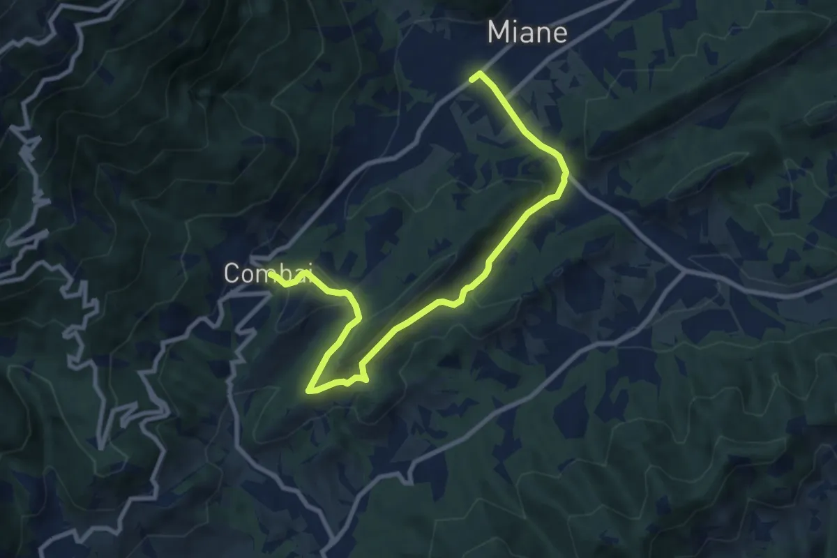
Medium · Trail
Le Serre
9.5 km · ↑ 324 m · 2 h 57 min · 15 km away
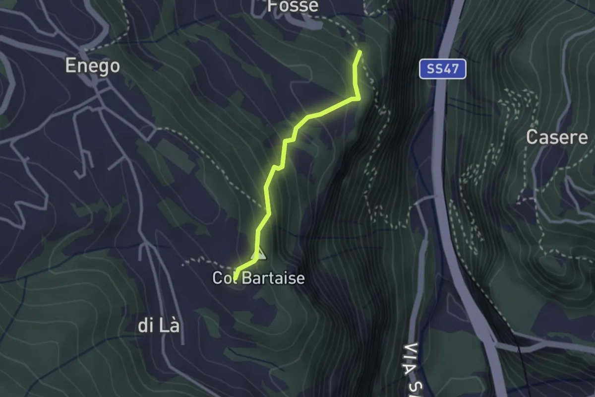
Easy · Summit
Valdifabbro di Quà – innesto sent. 791
2.1 km · ↑ 215 m · 57 min · 15 km away
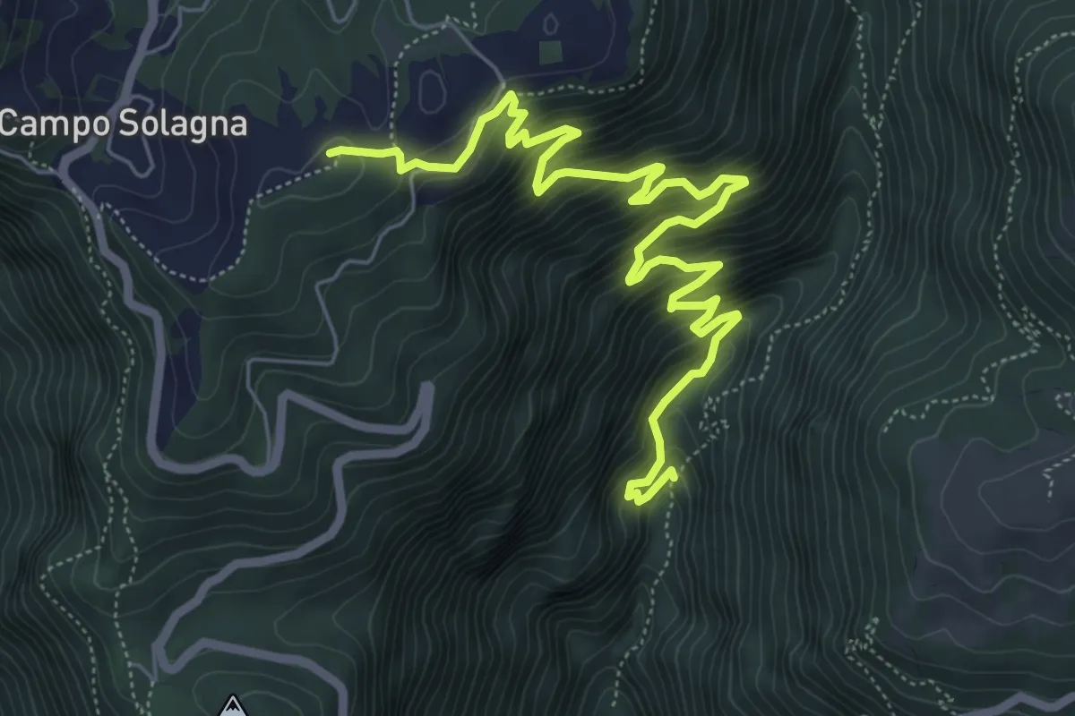
Medium · Summit
Valle Santa Felicita-da sent. 180 - dopo pal. roccia – Campo Solagna
7.6 km · ↑ 740 m · 3 h 24 min · 15 km away