Trails near Albino
255 hikes starting within 15 km, nearest first.
Nearest first, page 1 of 6
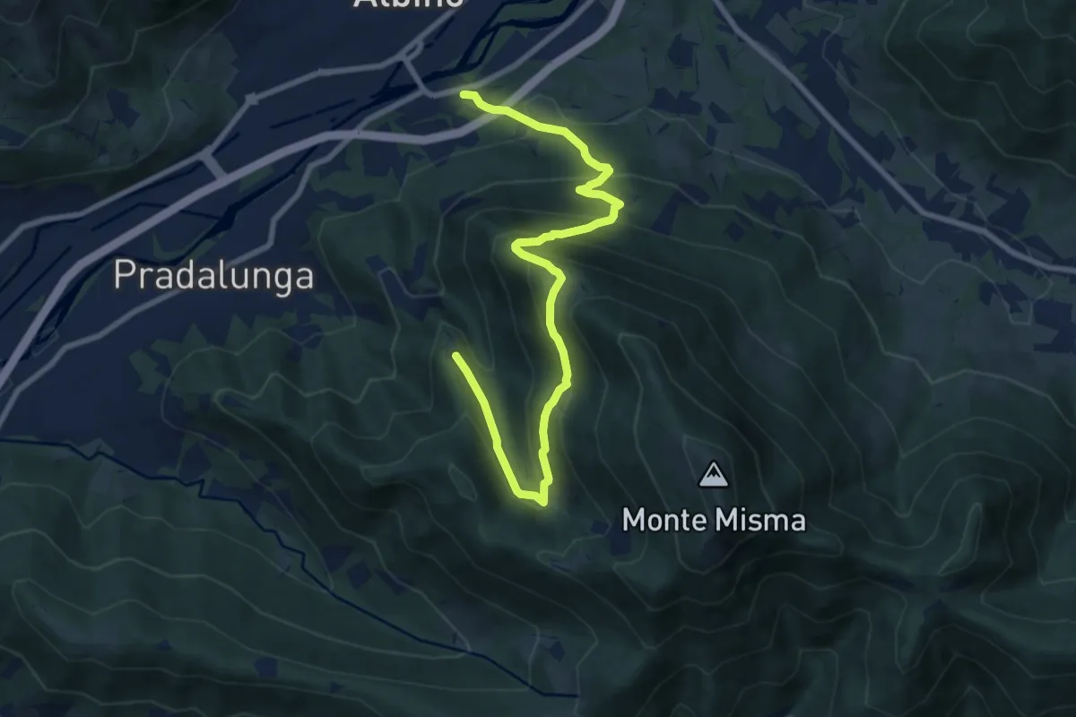
Medium · Trail
Albino – Forcella di Pradalunga
9.4 km · ↑ 747 m · 3 h 51 min · 1 km away
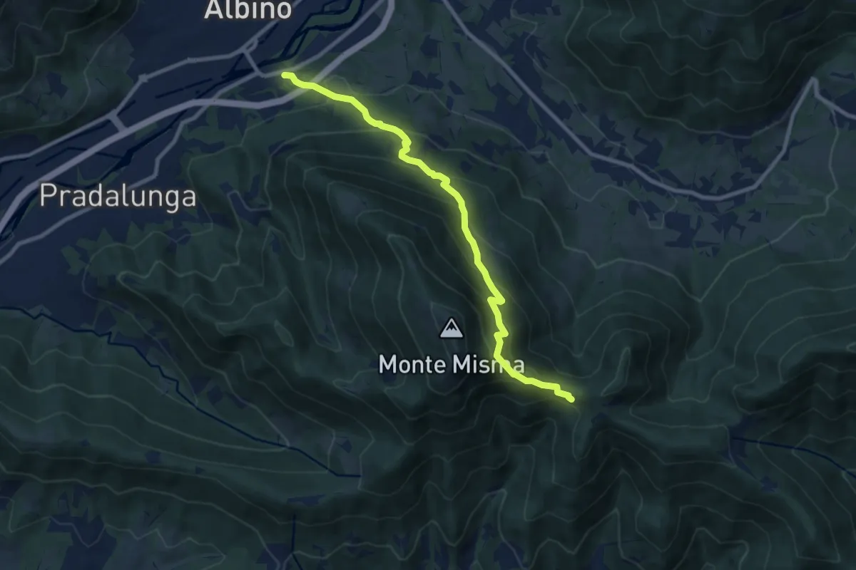
Medium · Cabin
Albino – S. Maria del Misma
8.8 km · ↑ 773 m · 3 h 45 min · 1 km away
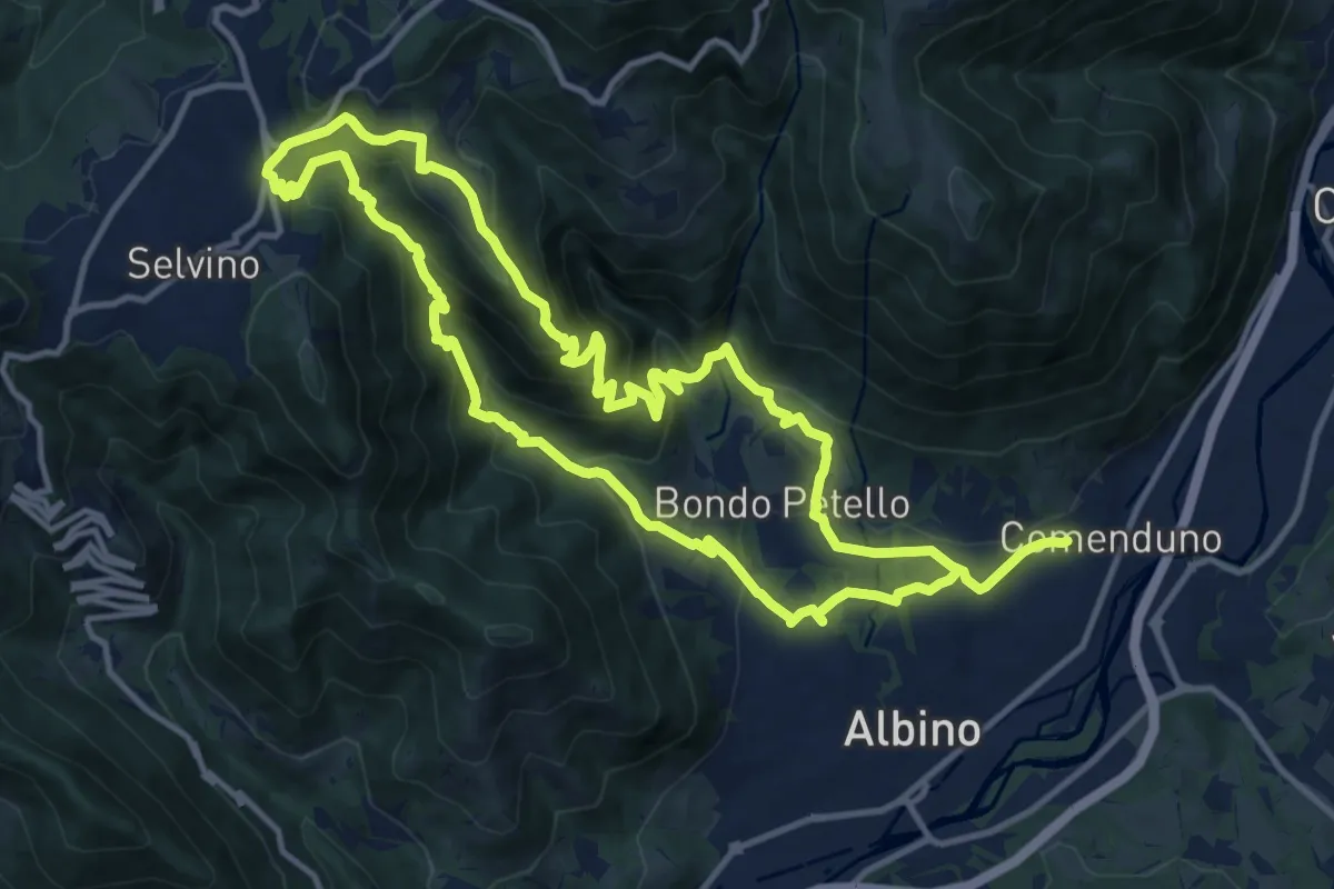
Medium · Summit
Sentiero 5
12.7 km · ↑ 702 m · 4 h 42 min · 1 km away
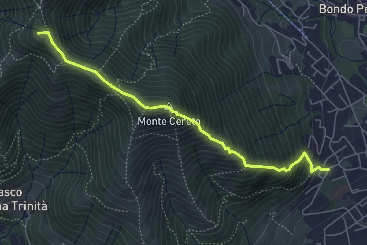
Medium · Summit
Albino – Selvino (Masu)
5.0 km · ↑ 625 m · 2 h 32 min · 1 km away
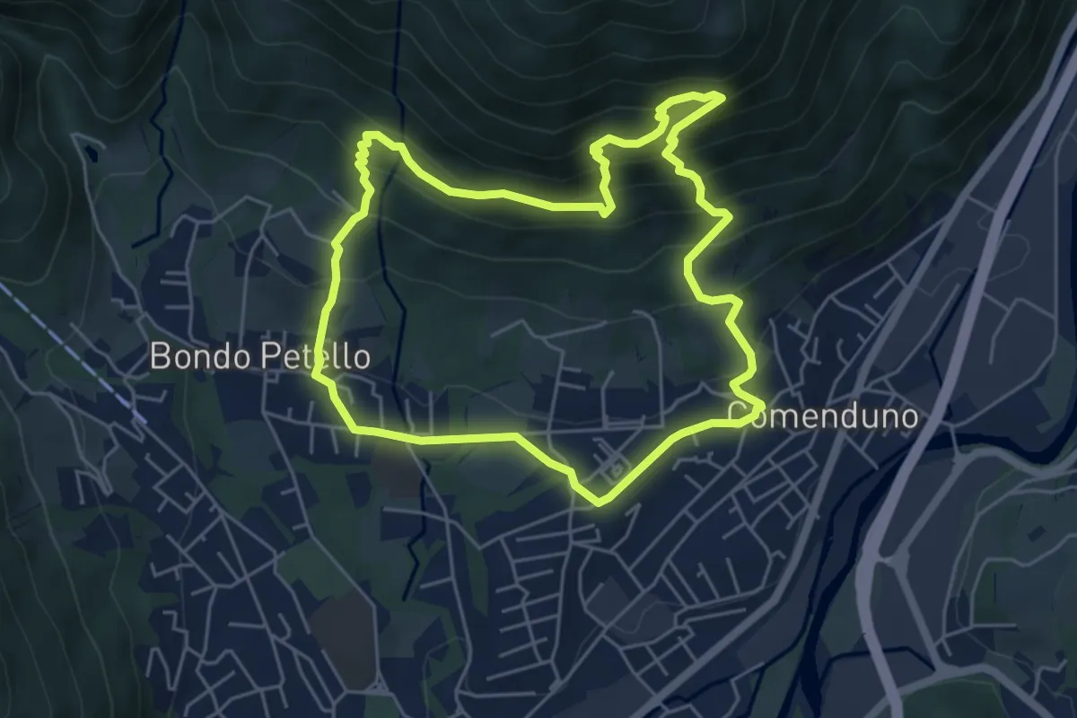
Demanding · Trail
Sentiero 1
5.2 km · ↑ 485 m · 2 h 21 min · 1 km away
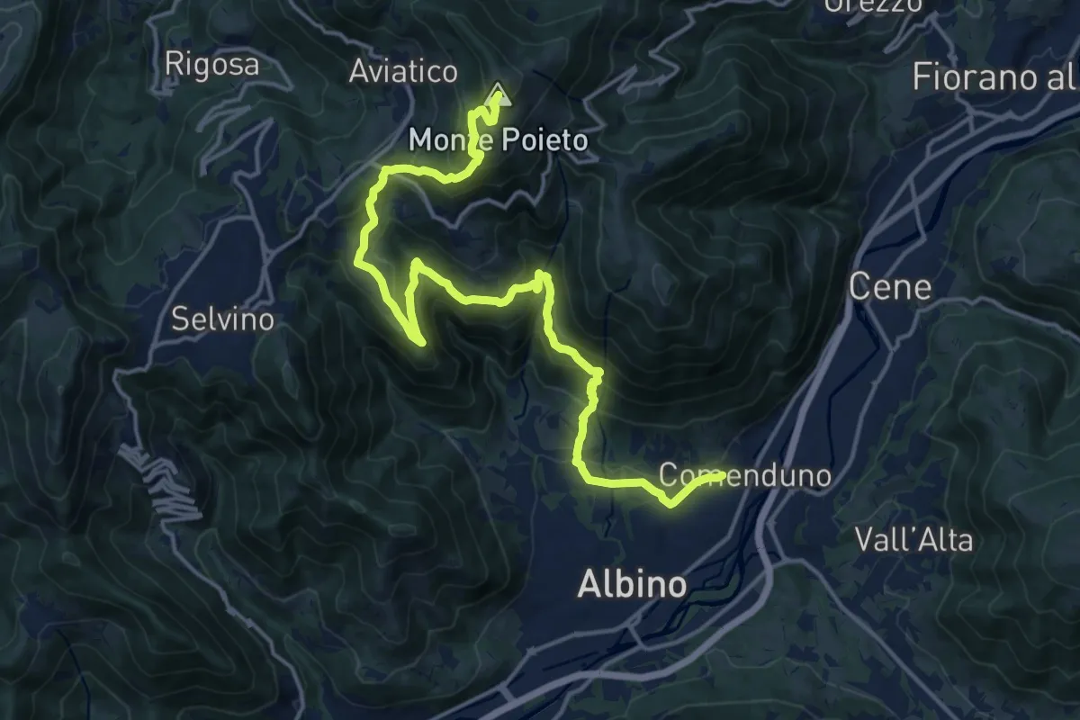
Demanding · Summit
Comenduno (Albino) – Monte Poieto
19.0 km · ↑ 1177 m · 7 h 3 min · 1 km away
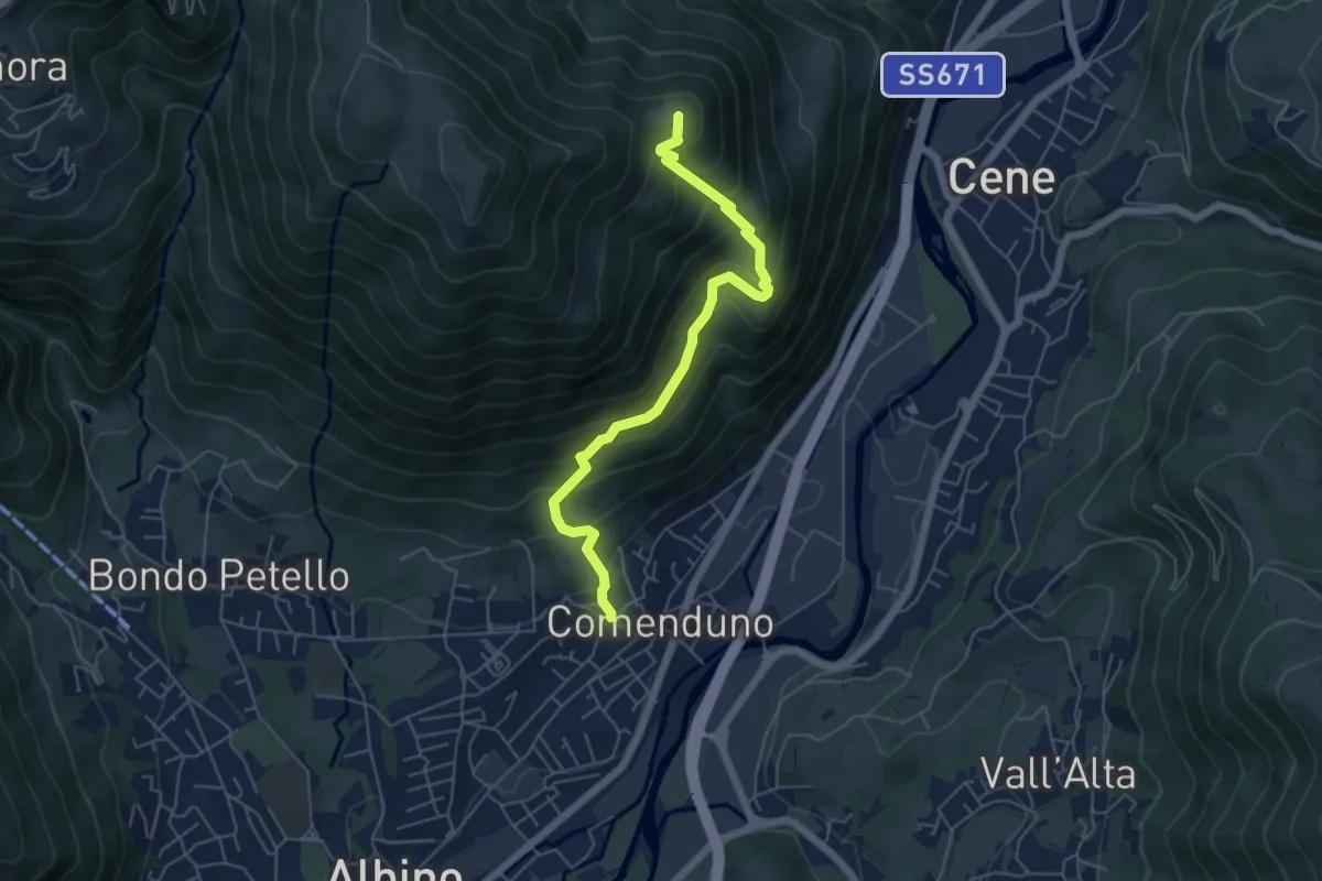
Medium · Summit
Comenduno (Albino) – Ganda
5.7 km · ↑ 511 m · 2 h 27 min · 1 km away
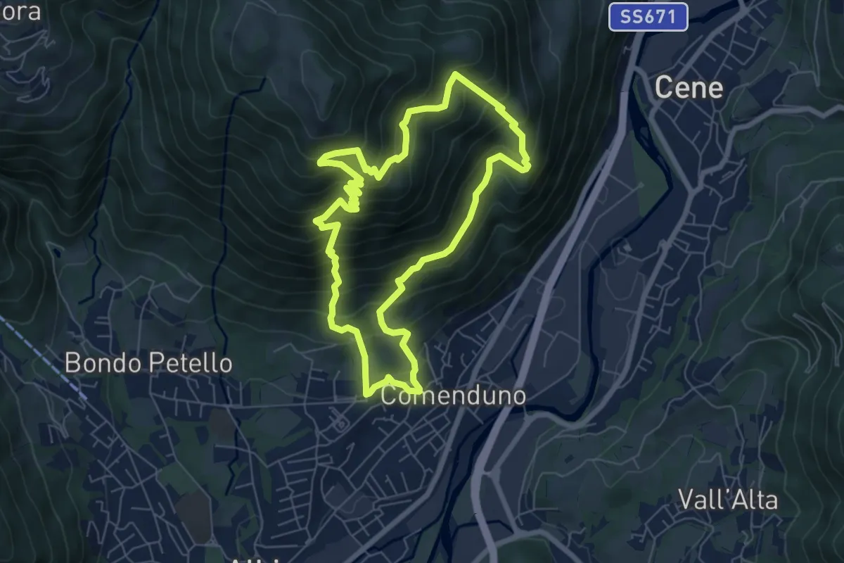
Demanding · Trail
Sentiero 2
6.4 km · ↑ 687 m · 3 h 5 min · 1 km away
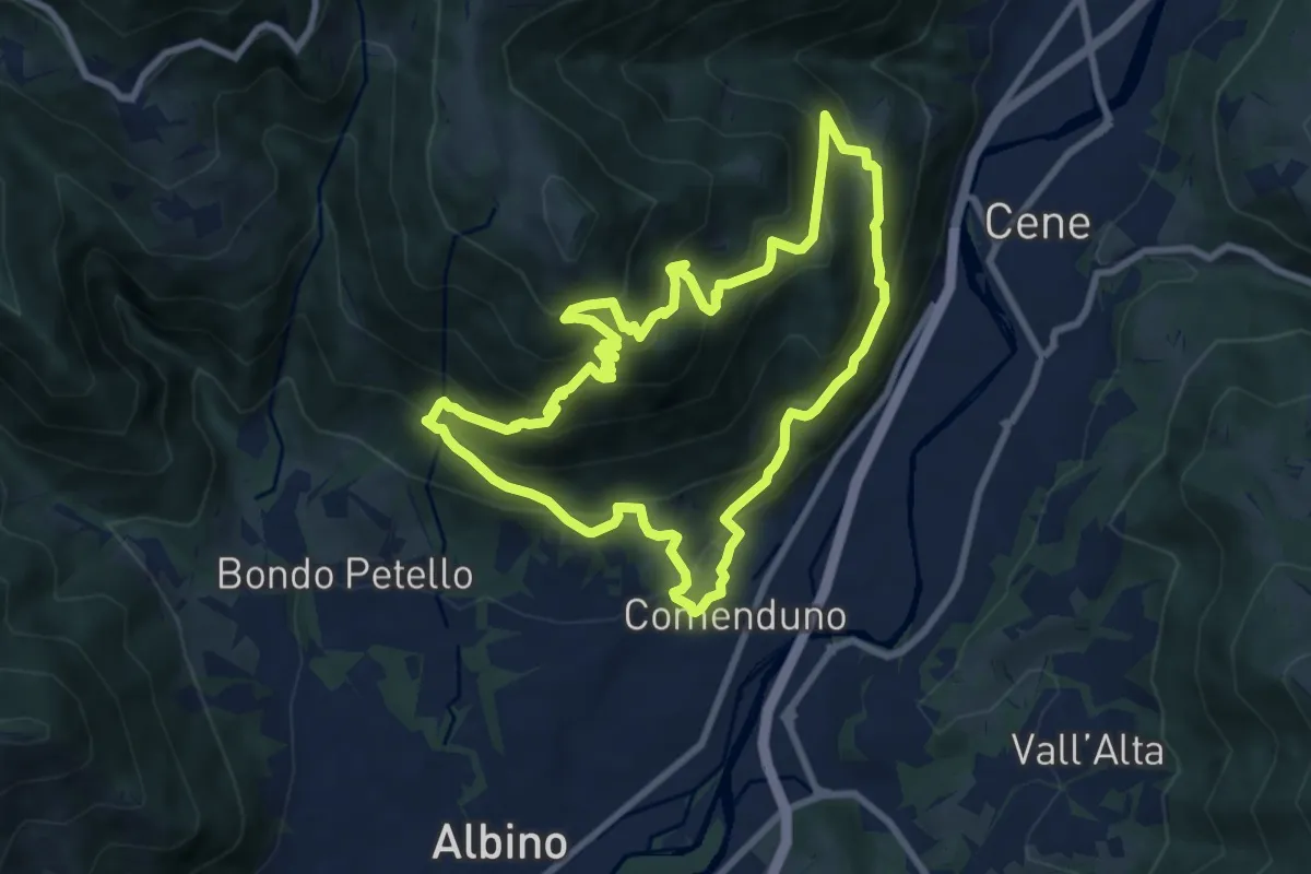
Demanding · Trail
Sentiero Agostino Noris
8.5 km · ↑ 767 m · 3 h 46 min · 1 km away
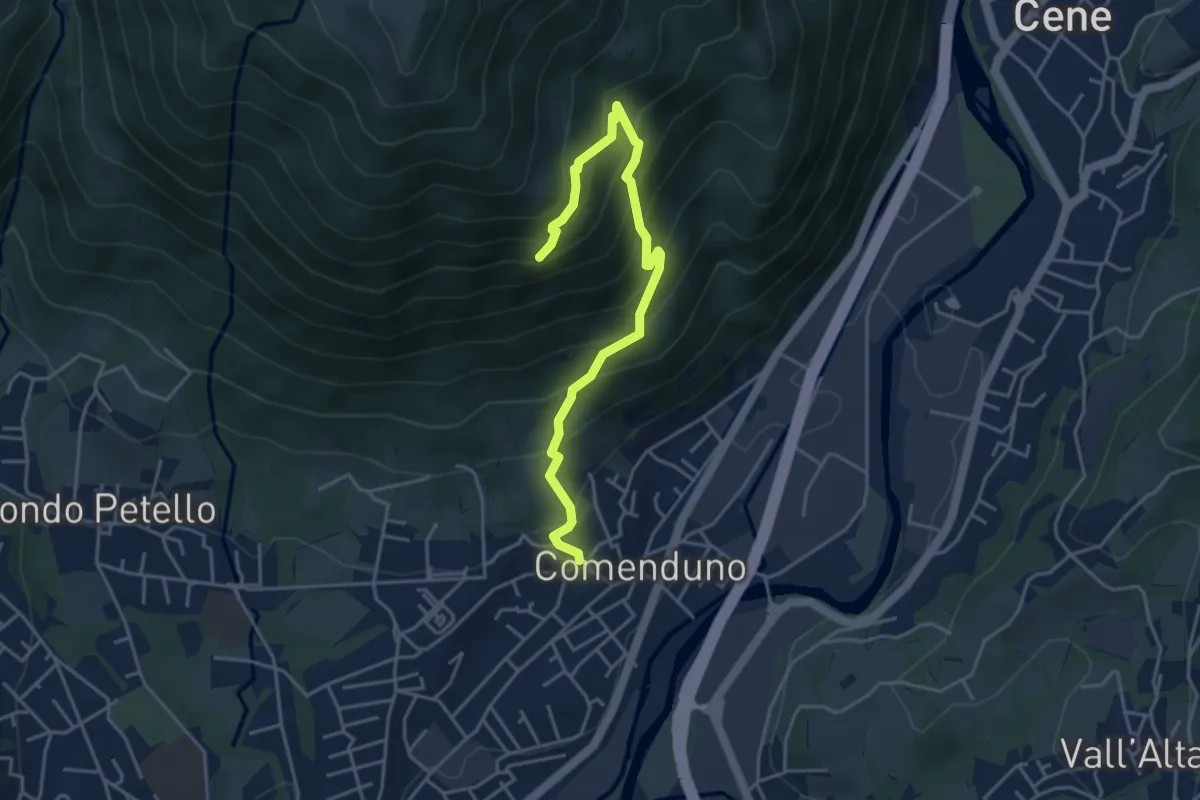
Demanding · Trail
Sentiero della Barchéssa Antonio Manganoni
4.6 km · ↑ 546 m · 2 h 16 min · 2 km away
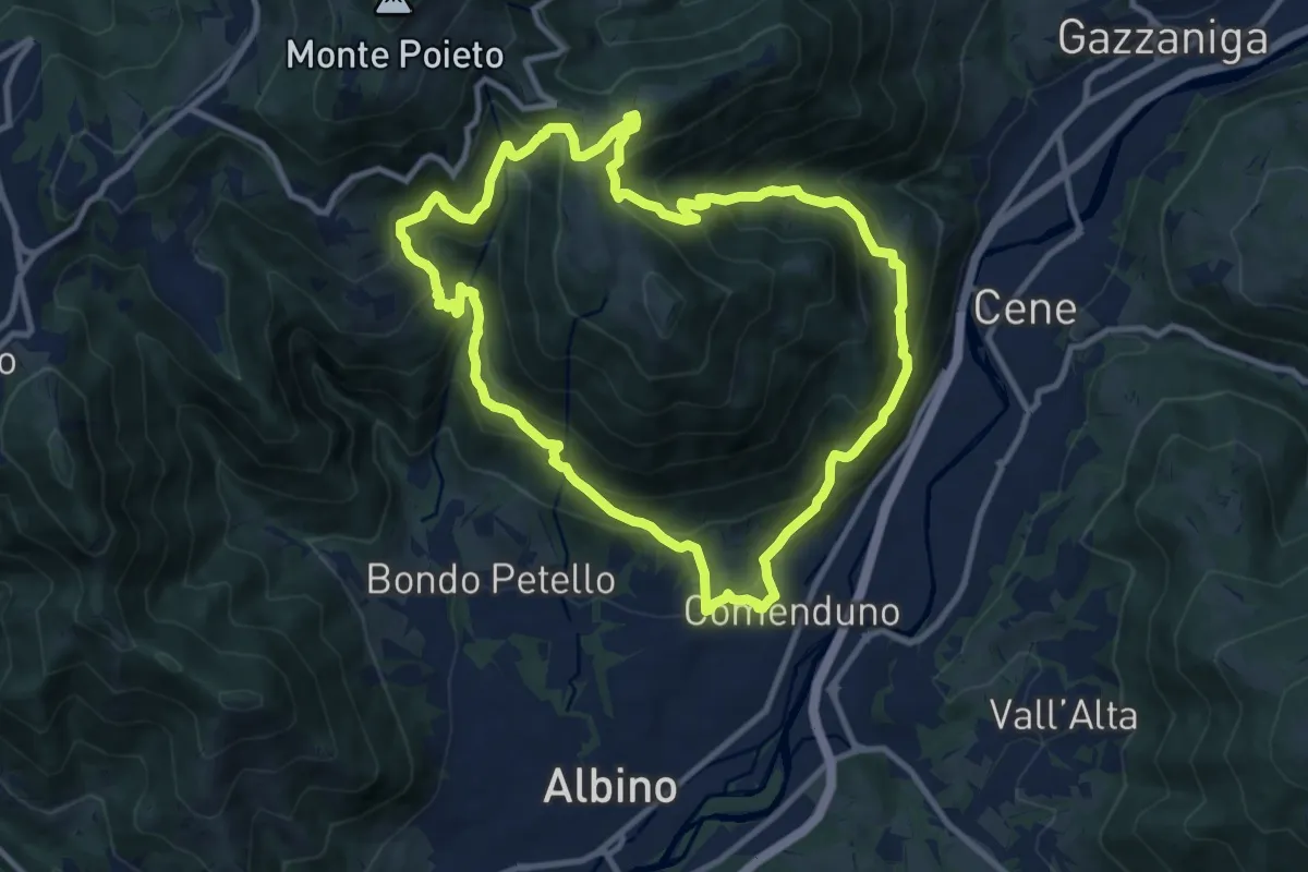
Demanding · Trail
Sentiero 3
10.6 km · ↑ 804 m · 4 h 23 min · 2 km away
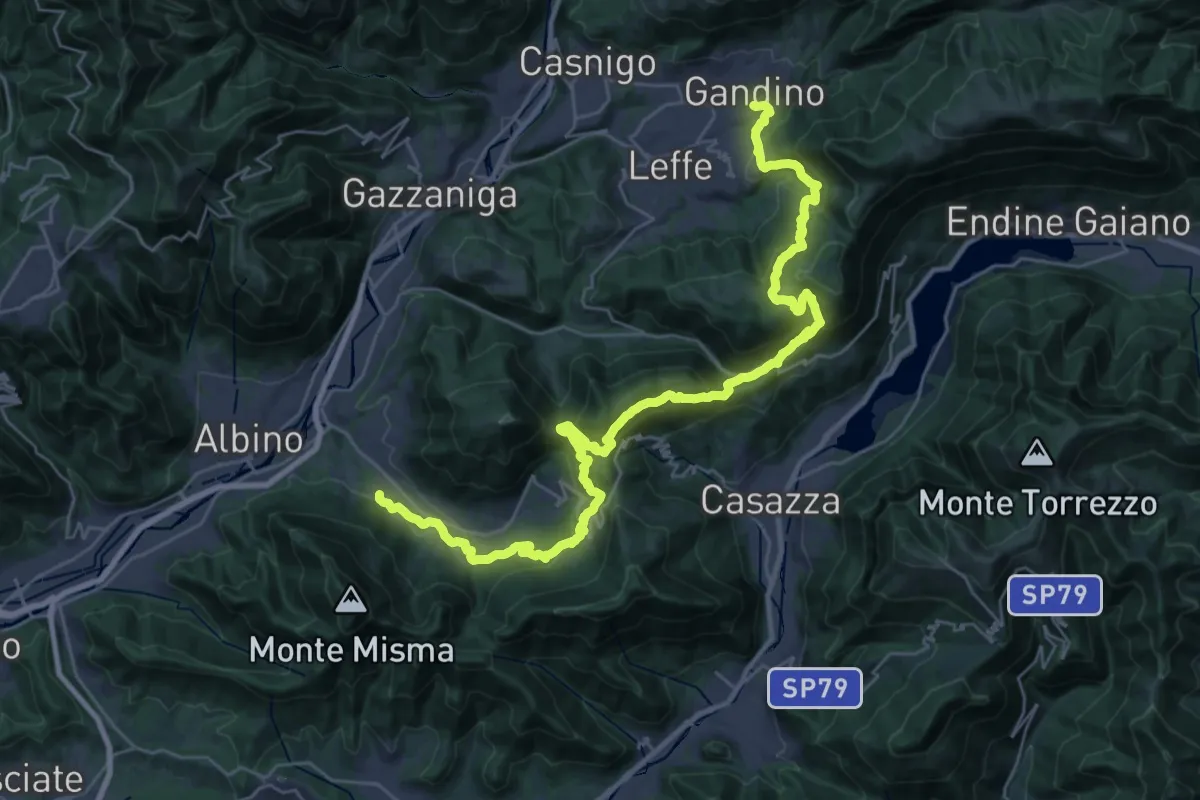
Demanding · Trail
Alta Via delle Grazie - Tappa 12
19.3 km · ↑ 1101 m · 7 h 8 min · 2 km away
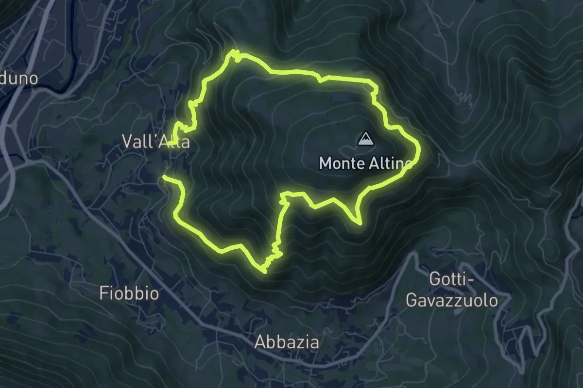
Medium · Trail
Vall'Alta (Albino) – Vall'Alta (Albino)
7.9 km · ↑ 605 m · 3 h 16 min · 2 km away
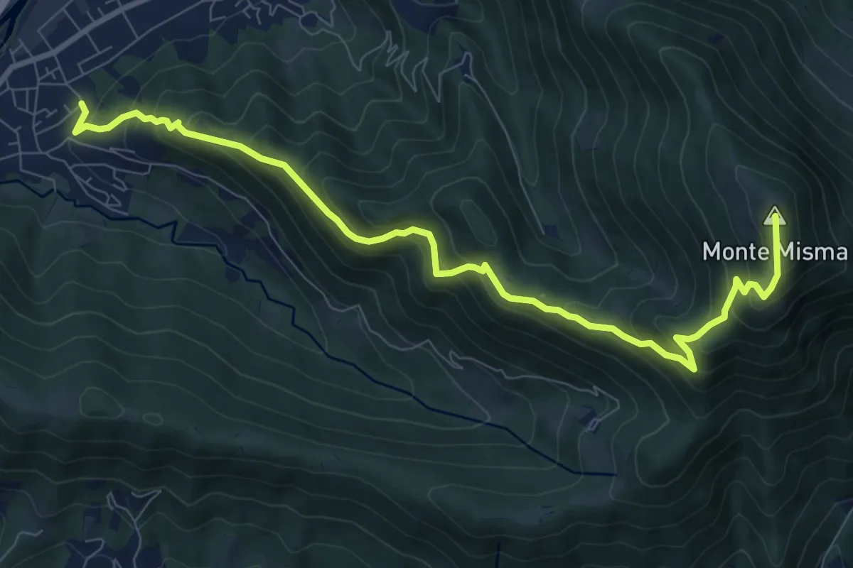
Demanding · Summit
Cornale – Monte Misma
9.9 km · ↑ 853 m · 4 h 11 min · 3 km away
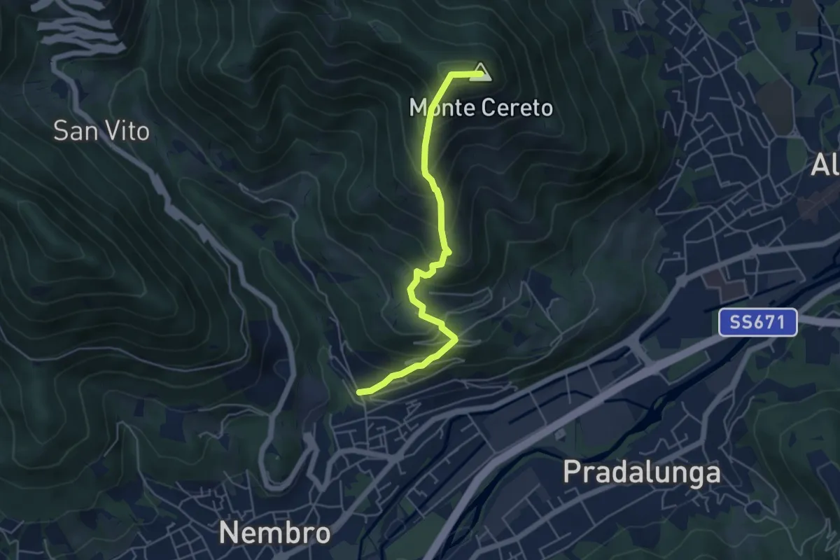
Medium · Summit
Trevasco (Nembro) – Monte Cereto
4.8 km · ↑ 563 m · 2 h 21 min · 3 km away
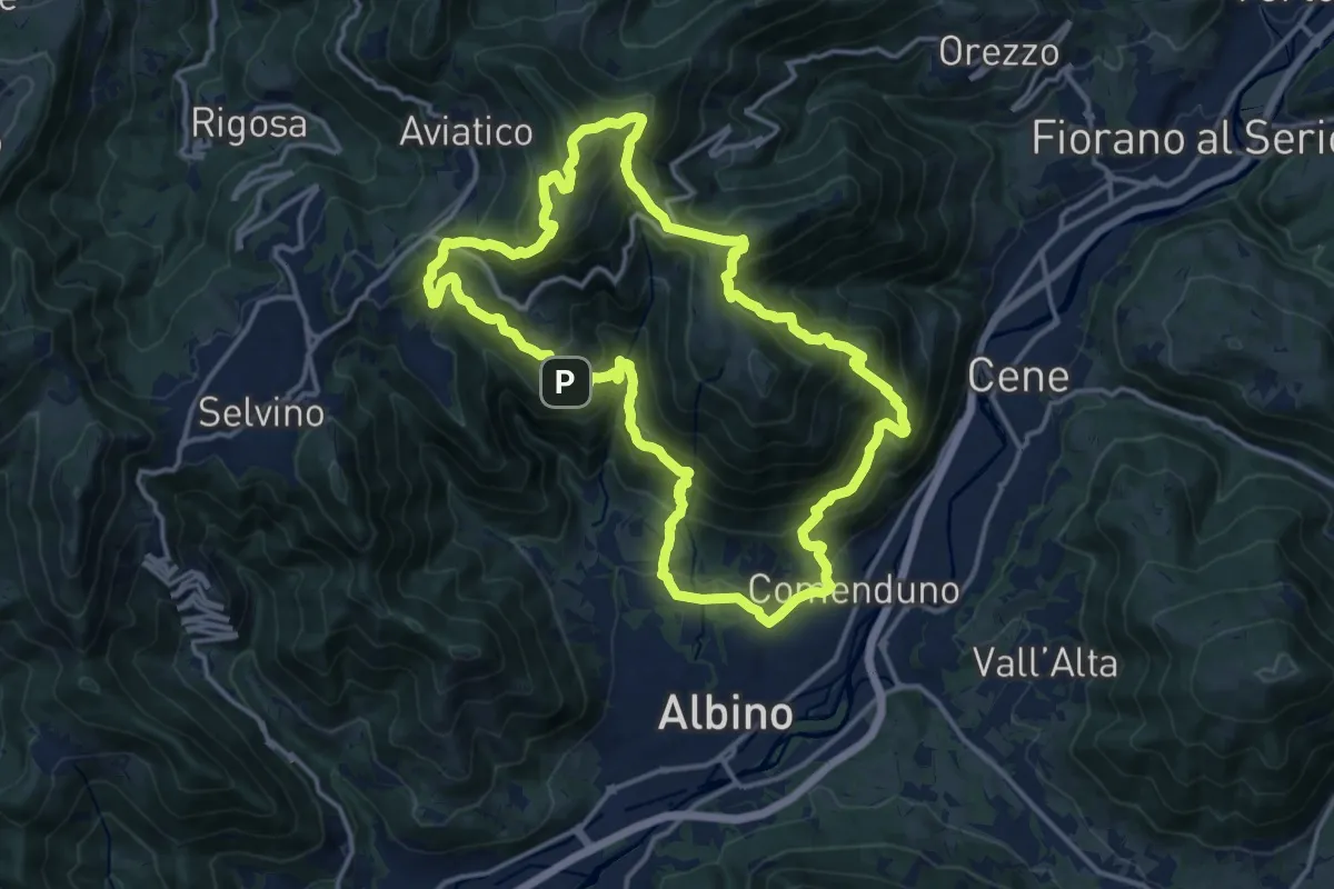
Demanding · Summit
Sentiero 4
15.2 km · ↑ 1092 m · 6 h 9 min · 3 km away
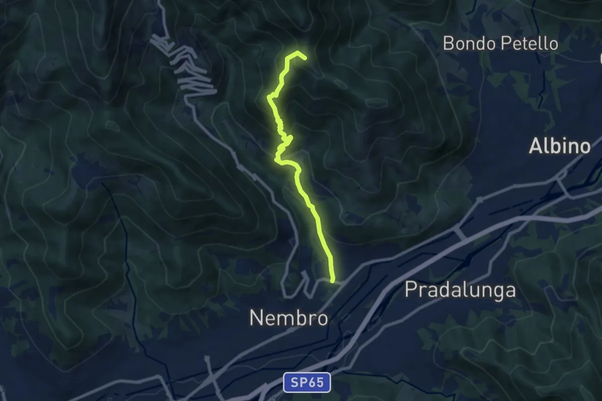
Medium · Summit
Trevasco (Nembro) – Selvino
6.8 km · ↑ 603 m · 2 h 55 min · 3 km away
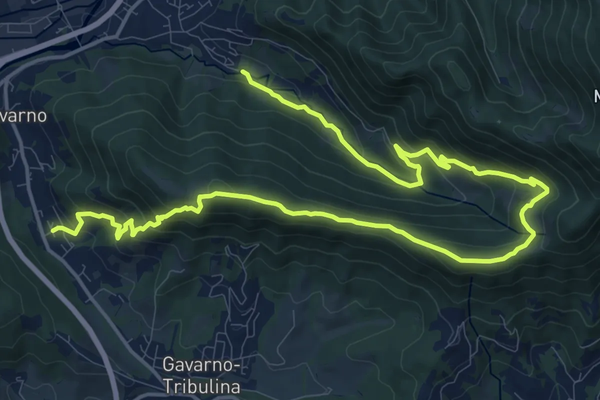
Demanding · Trail
Cornale (Pradalunga) – Gavarno
17.1 km · ↑ 933 m · 6 h 4 min · 3 km away
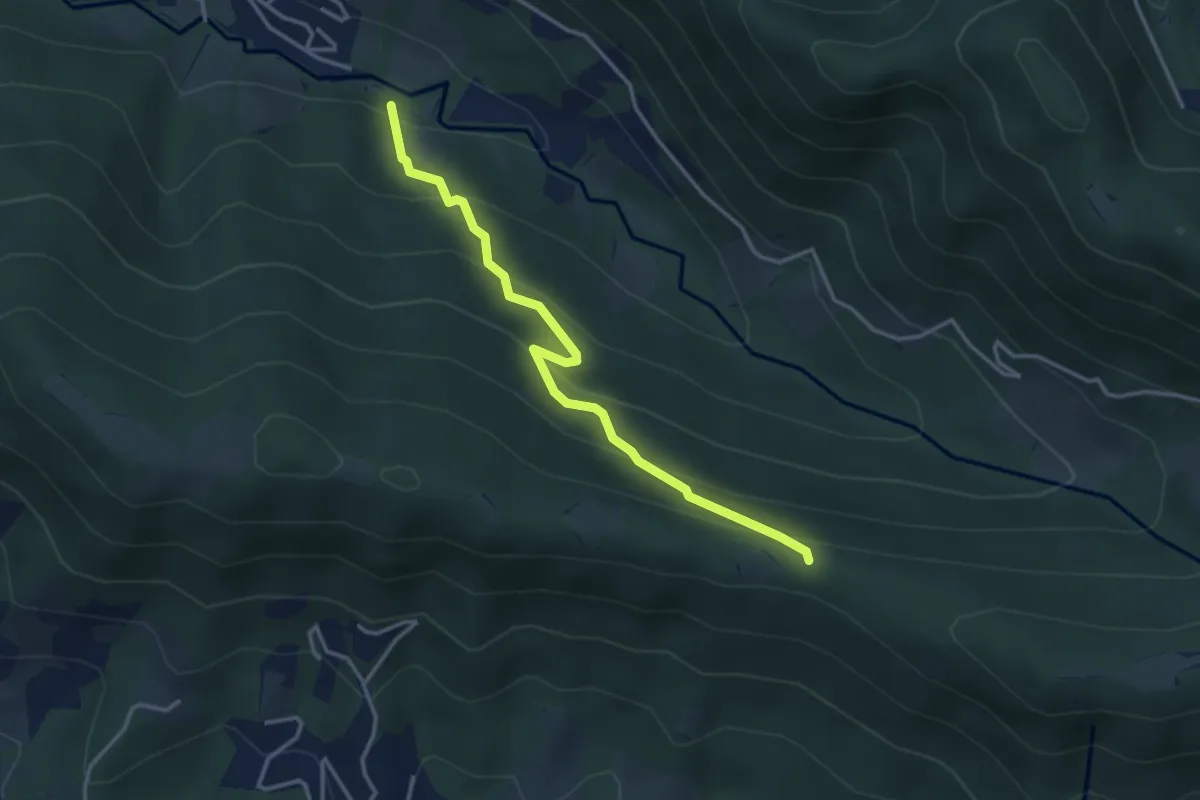
Easy · Trail
Cornale (Pradalunga) – Roccolo delle Pozzette (incrocio 539A)
3.6 km · ↑ 276 m · 1 h 26 min · 3 km away
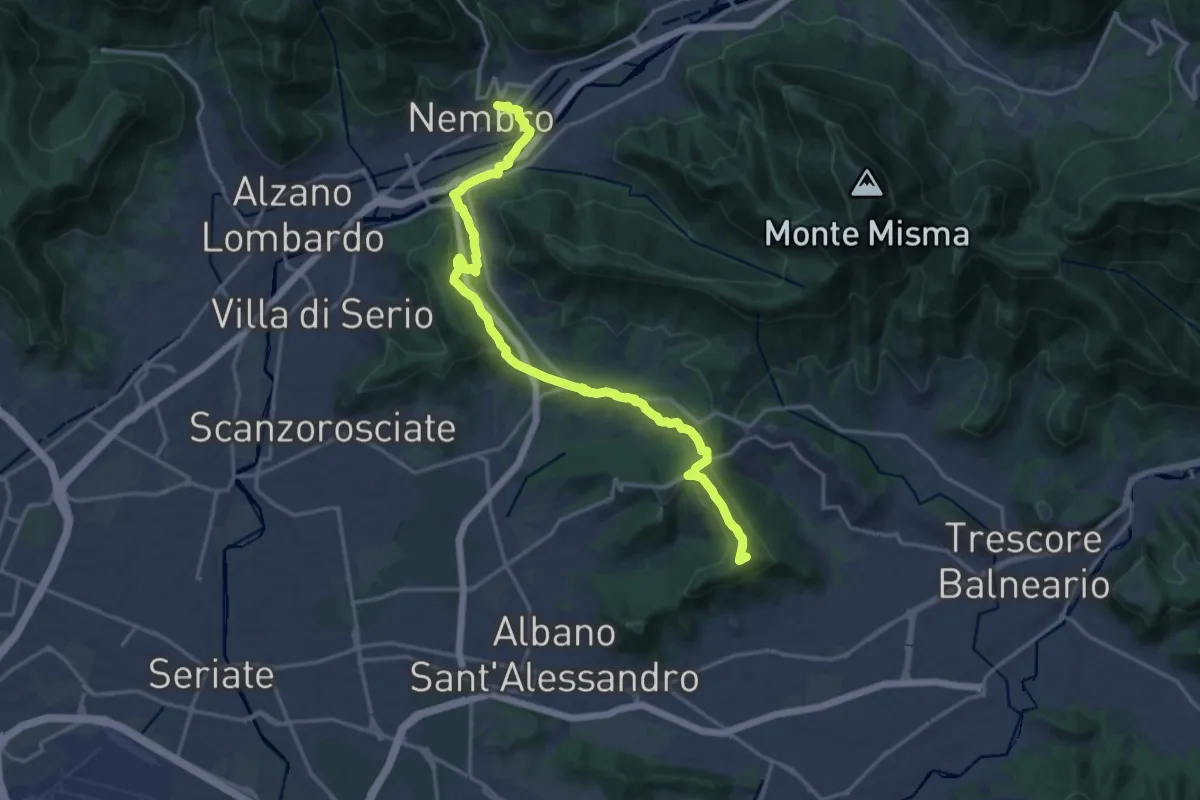
Medium · Summit
La Via delle Sorelle - Tappa 5
9.4 km · ↑ 284 m · 2 h 54 min · 3 km away
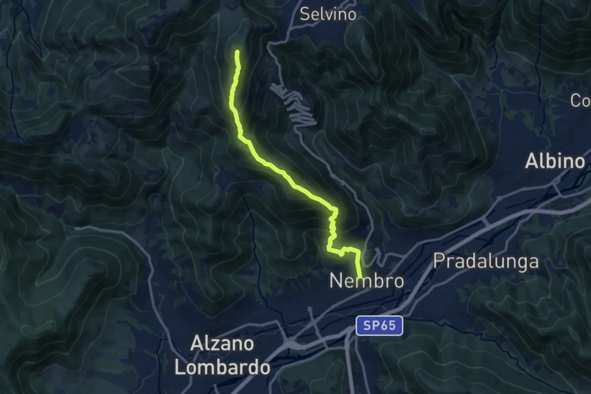
Demanding · Summit
Nembro – Salmezza
10.3 km · ↑ 993 m · 4 h 34 min · 4 km away
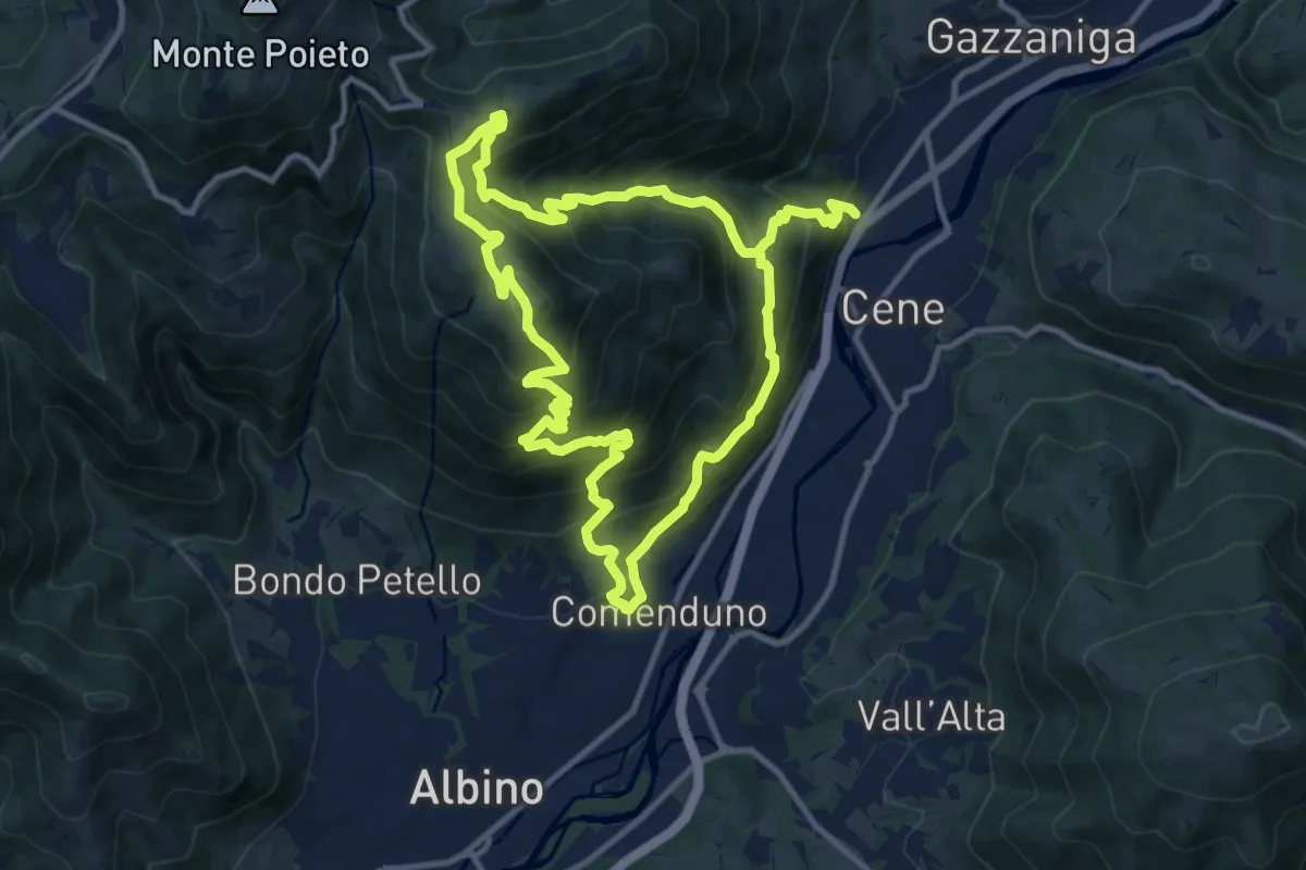
Demanding · Summit
Comenduno (Albino) – Comenduno (Albino)
11.1 km · ↑ 1121 m · 5 h 6 min · 4 km away
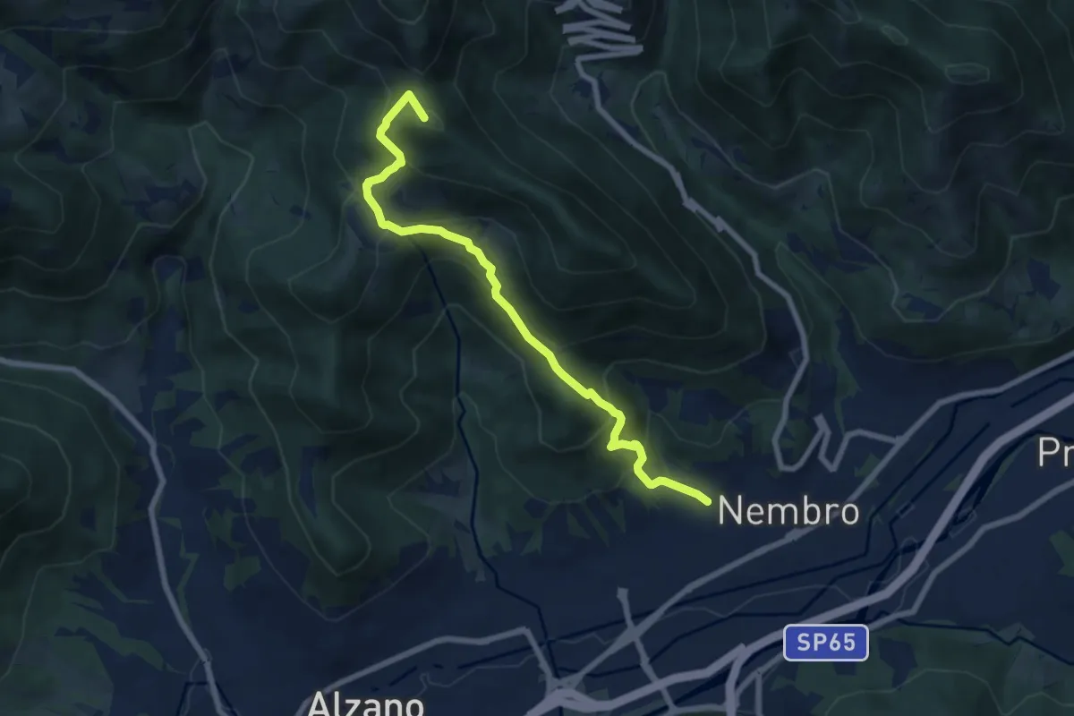
Medium · Summit
Madonna dello Zuccarello (Nembro) – Selvino
7.5 km · ↑ 583 m · 3 h 3 min · 4 km away
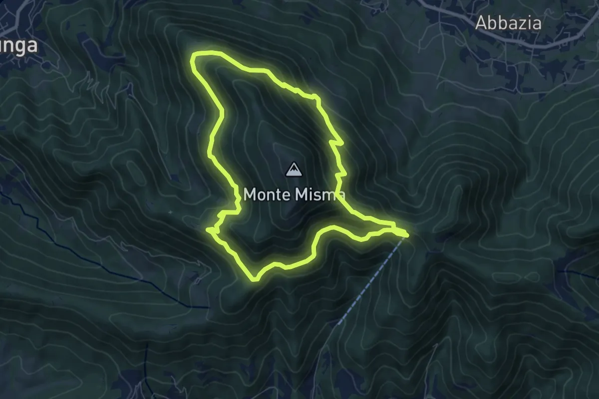
Medium · Trail
Le vie del Misma
7.5 km · ↑ 562 m · 3 h 5 min · 4 km away
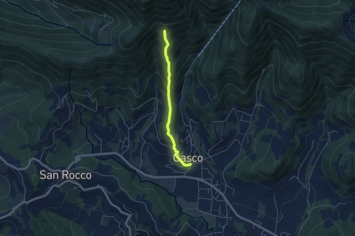
Medium · Trail
Cenate Sopra – Cà Muratori
4.0 km · ↑ 389 m · 1 h 47 min · 4 km away
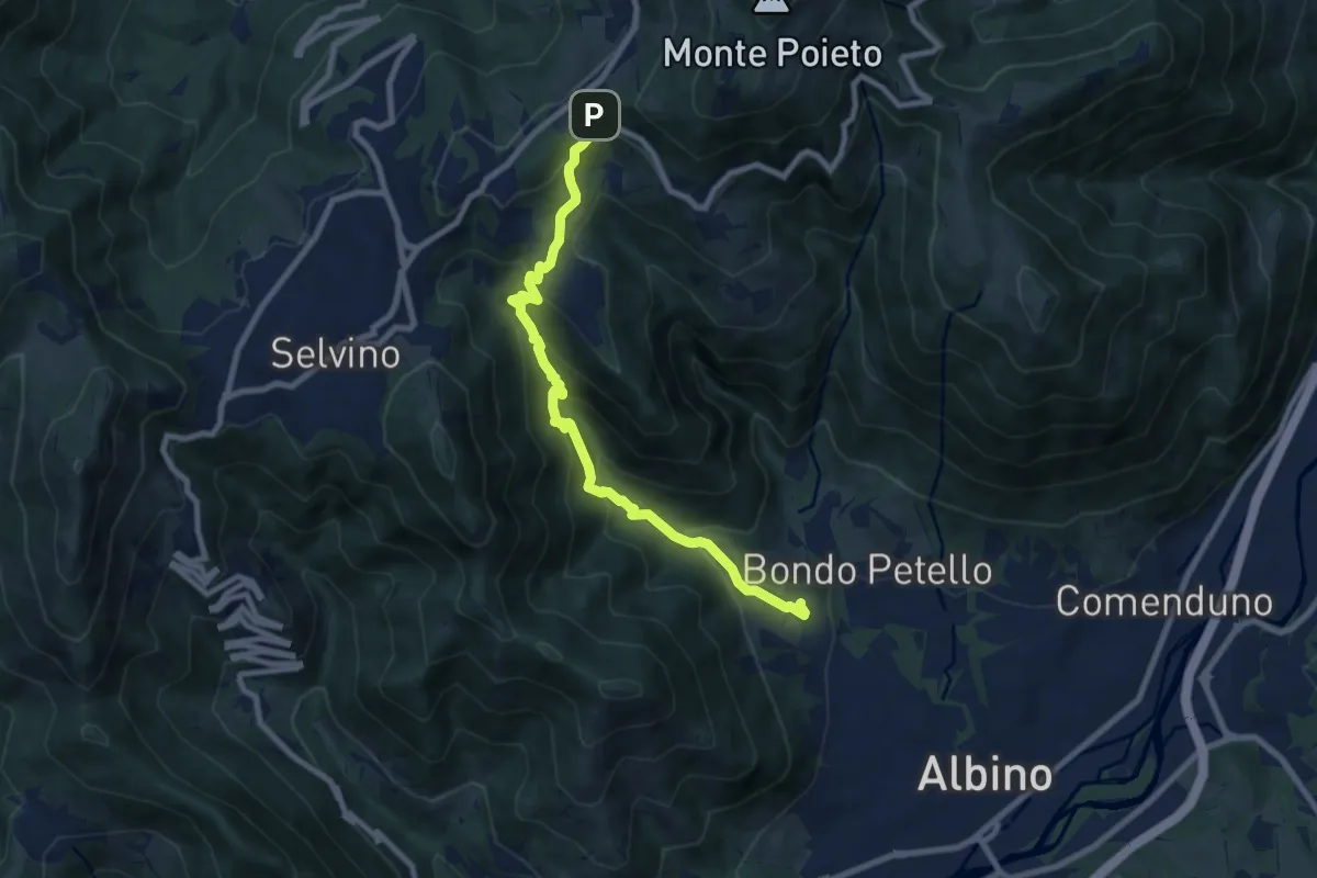
Medium · Trail
Albino – Ama (Aviatico)
8.7 km · ↑ 645 m · 3 h 27 min · 4 km away
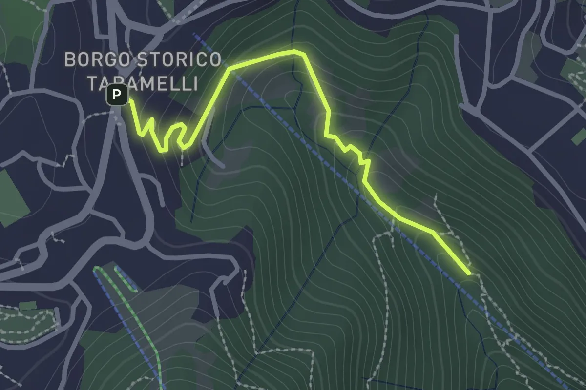
Easy · Trail
Incrocio 550 – Selvino
2.6 km · ↑ 160 m · 58 min · 4 km away
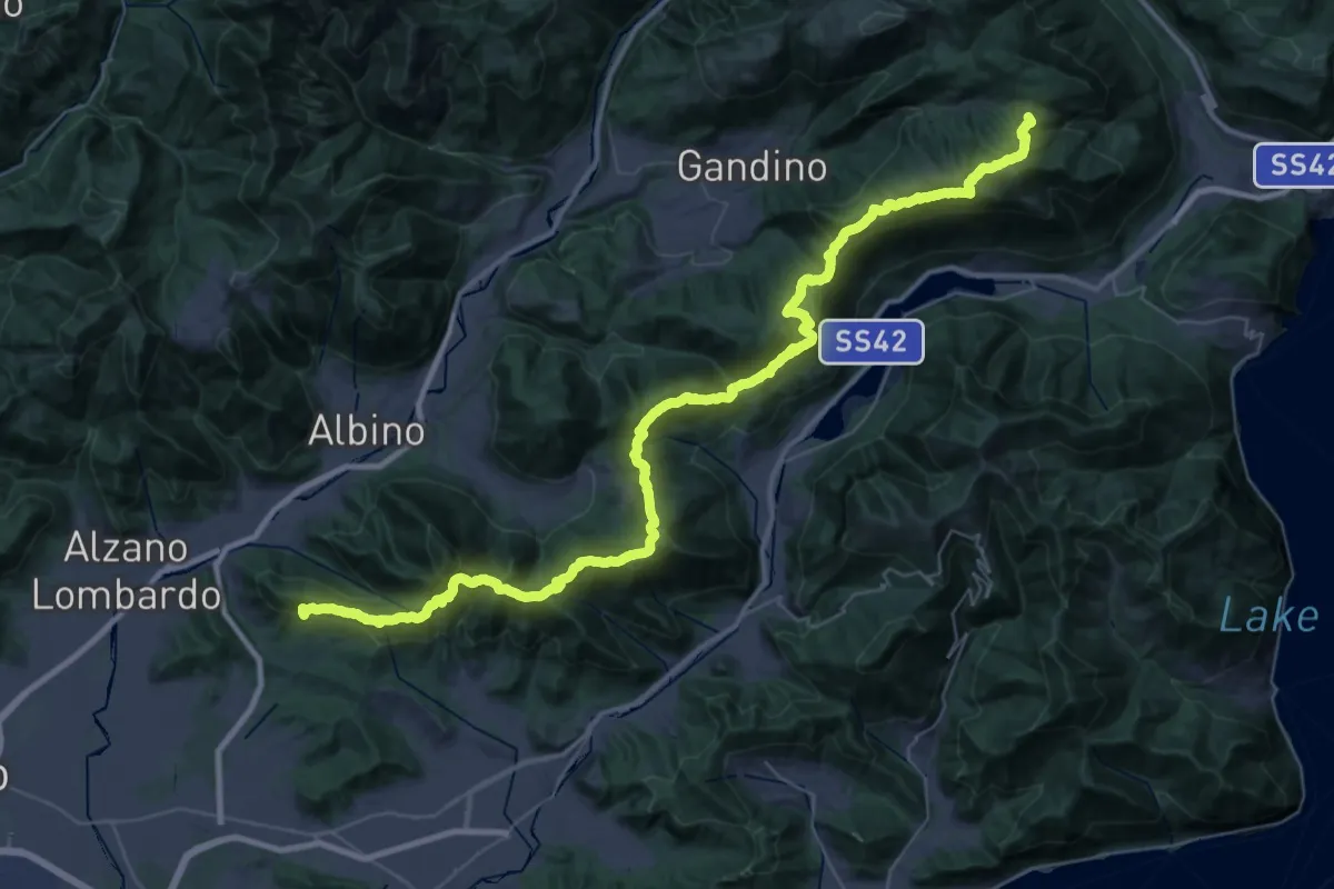
Demanding · Summit
Sentiero Andrea Caslini "Rocco"
53.0 km · ↑ 3005 m · 19 h 2 min · 4 km away
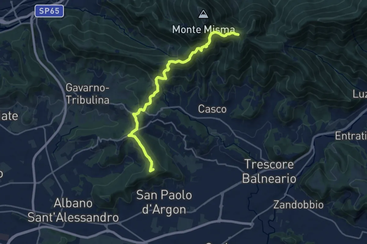
Medium · Summit
Albano S.A. – S. Maria del Misma
14.4 km · ↑ 770 m · 5 h 5 min · 4 km away
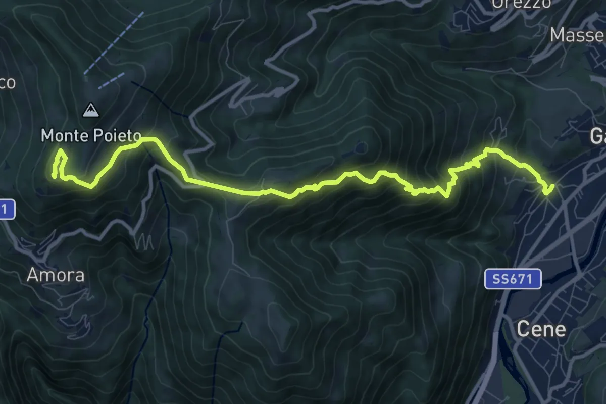
Demanding · Summit
Rova (Gazzaniga) – Monte Cornagera
10.9 km · ↑ 990 m · 4 h 43 min · 4 km away
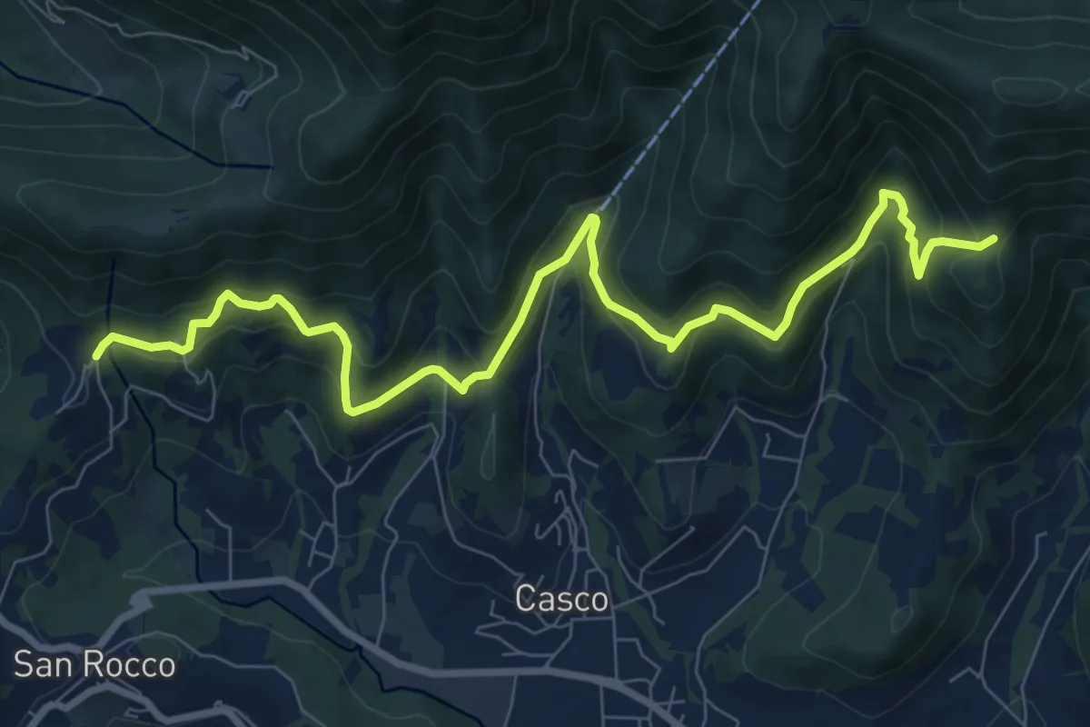
Medium · Trail
Sentiero Verde
10.0 km · ↑ 617 m · 3 h 42 min · 5 km away
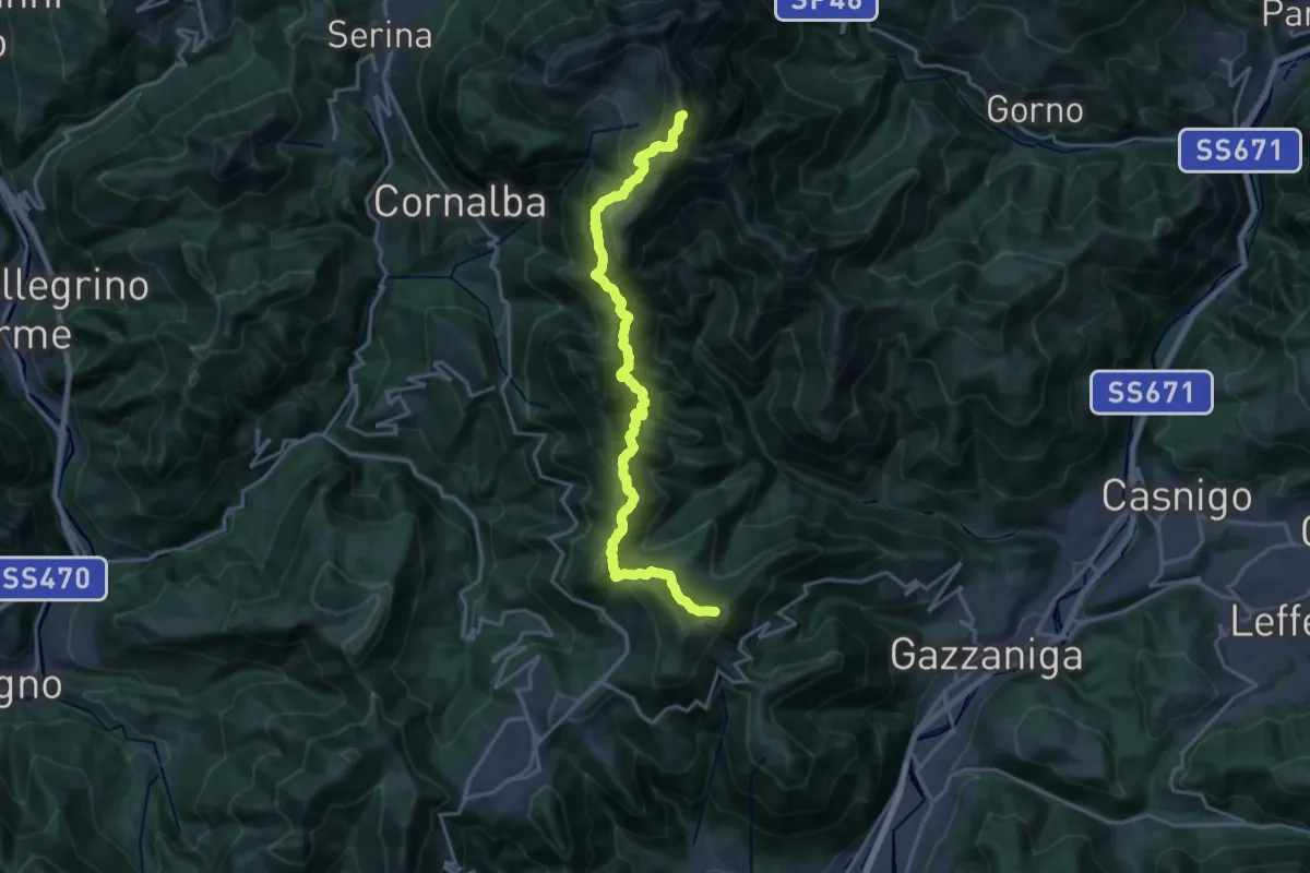
Expert · Summit
Ca' de Spi' (Gazzaniga) – Monte Alben
20.0 km · ↑ 1657 m · 8 h 19 min · 5 km away
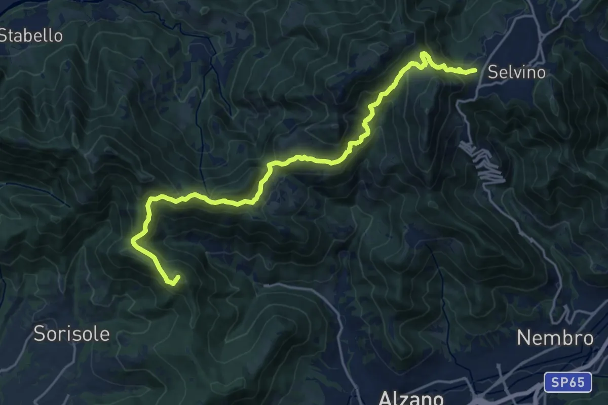
Demanding · Summit
Bergamo (Monterosso) – Selvino
18.3 km · ↑ 1015 m · 6 h 32 min · 5 km away
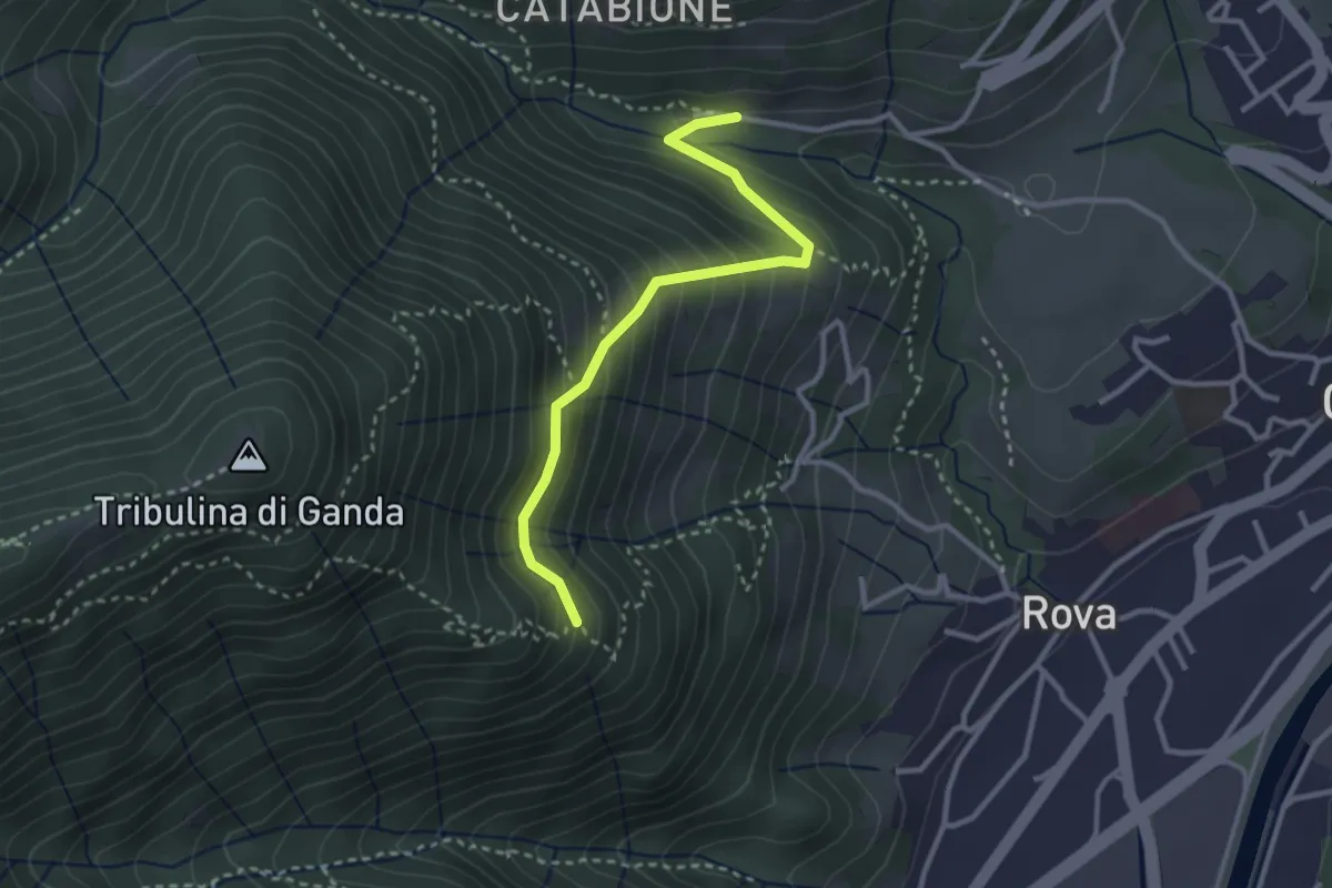
Medium · Trail
Incrocio 521 – Incrocio 522
2.9 km · ↑ 270 m · 1 h 16 min · 5 km away
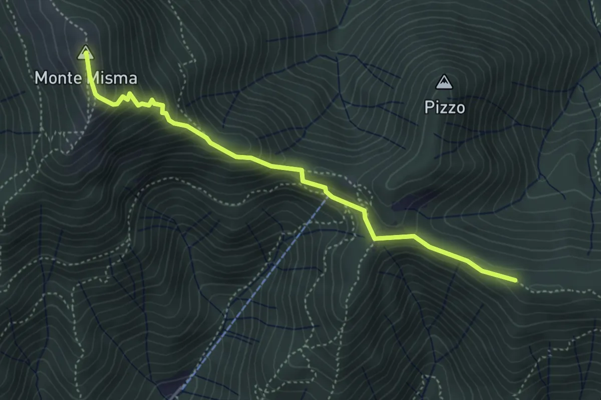
Medium · Summit
Bivio Corna Clima (Luzzana) – Monte Misma
4.5 km · ↑ 378 m · 1 h 53 min · 5 km away
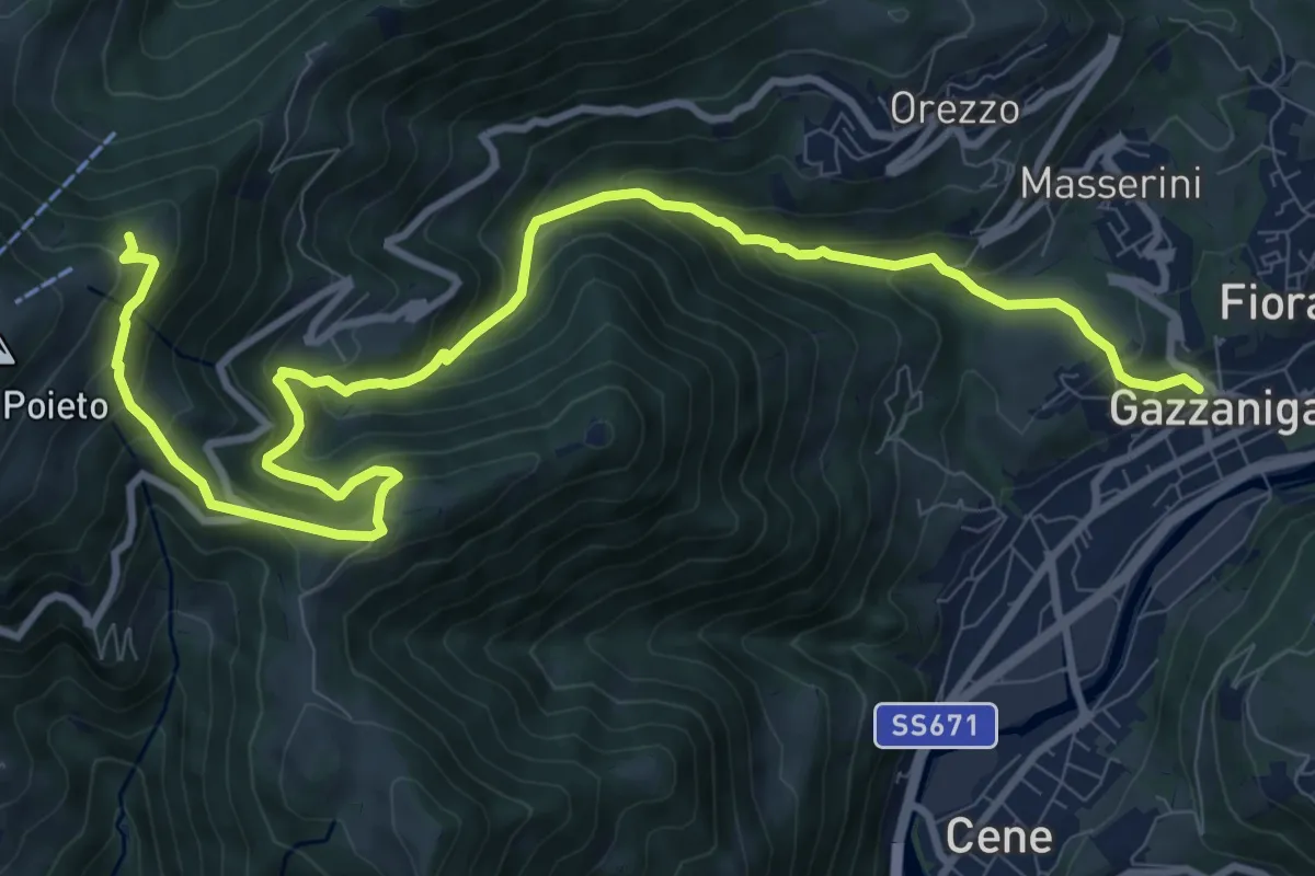
Demanding · Trail
Gazzaniga – Ca de Spi'
13.2 km · ↑ 890 m · 5 h 3 min · 5 km away
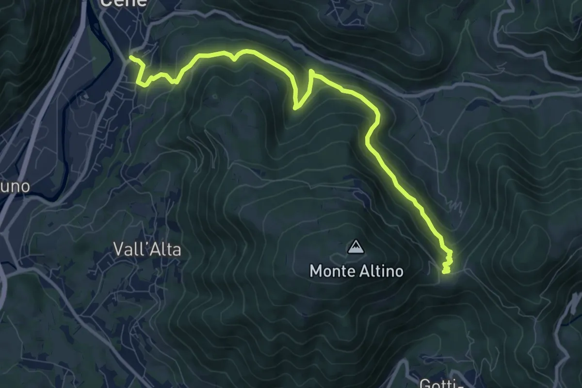
Medium · Trail
Cene – Pracc Molecc
10.3 km · ↑ 580 m · 3 h 41 min · 5 km away
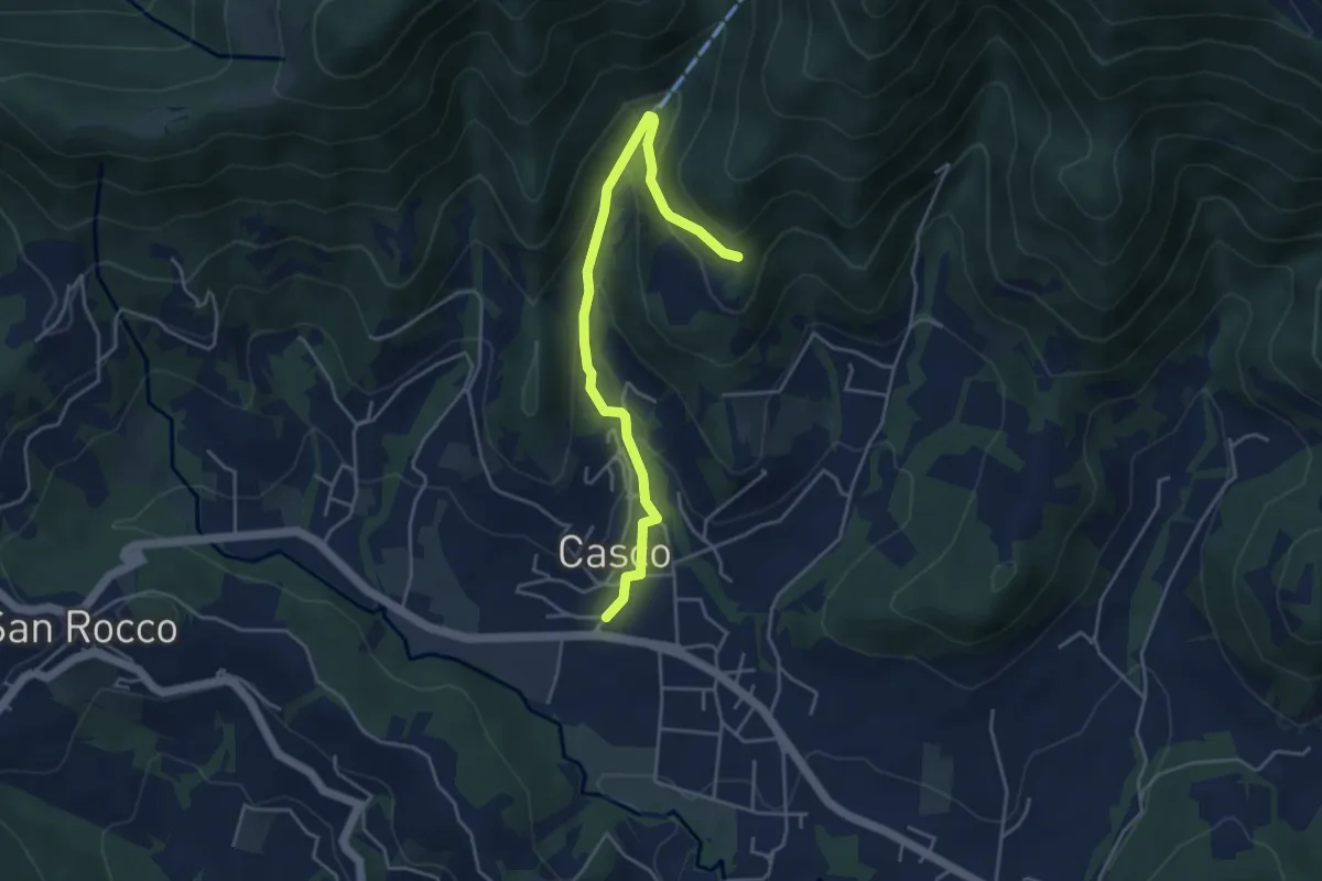
Easy · Trail
Cenate Sopra – Plasso
4.6 km · ↑ 234 m · 1 h 36 min · 5 km away
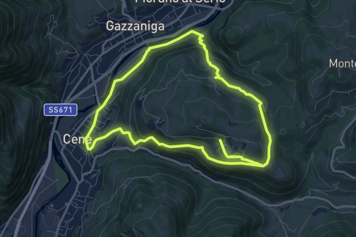
Medium · Summit
Giro del Monte Bue
8.9 km · ↑ 401 m · 3 h 6 min · 5 km away
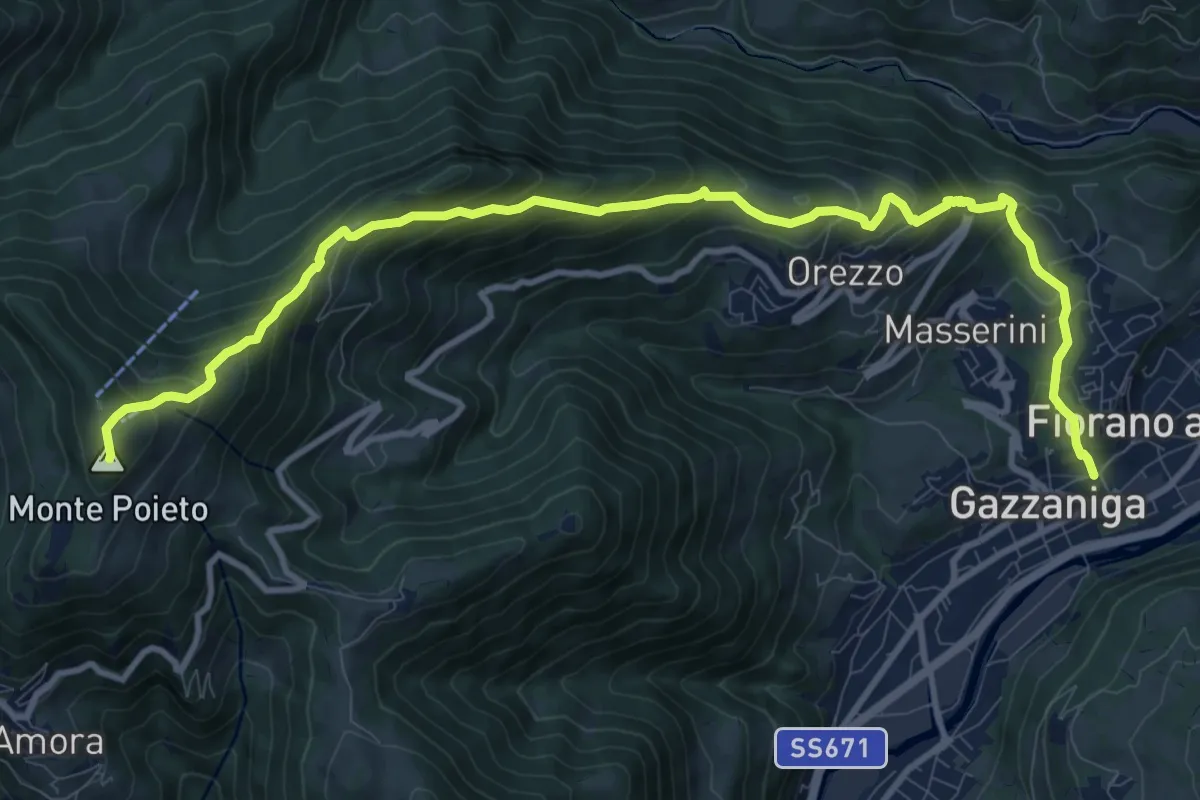
Demanding · Summit
Gazzaniga – Monte Poieto
12.6 km · ↑ 948 m · 5 h 2 min · 5 km away
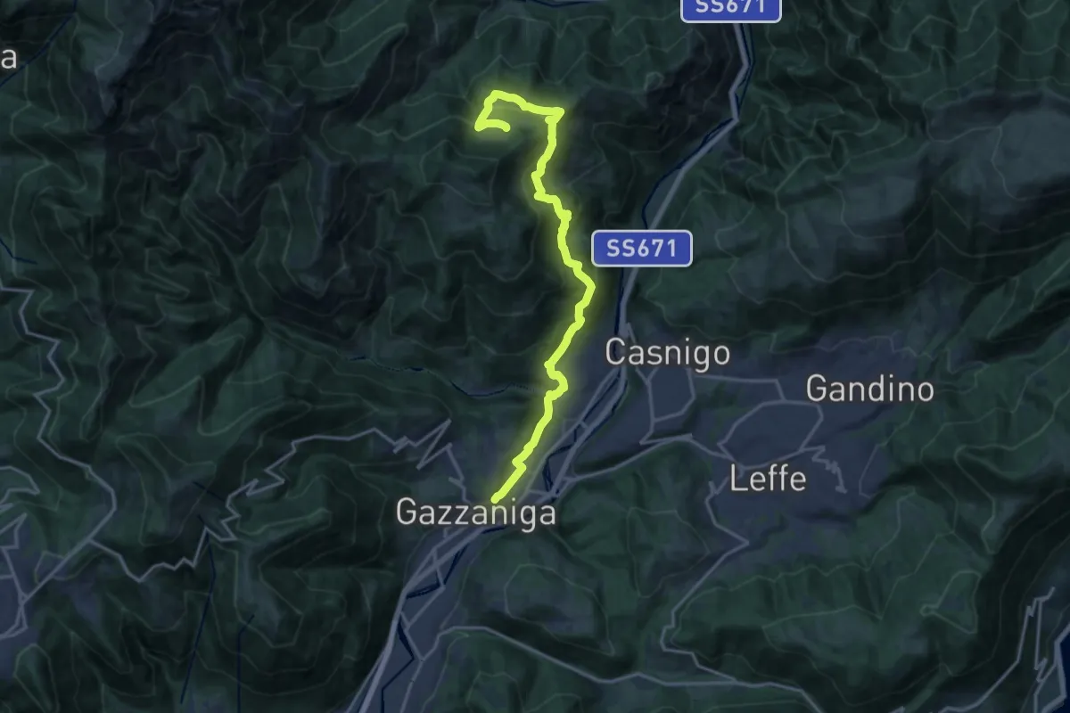
Demanding · Trail
Sentiero di Honio
17.7 km · ↑ 940 m · 6 h 13 min · 5 km away
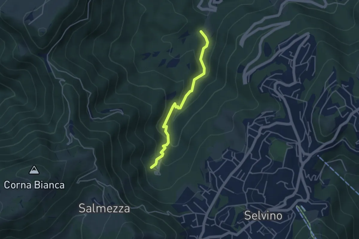
Medium · Trail
Rigosa (Loc. Fop) – Selvino (Sorgente Cantor)
3.4 km · ↑ 225 m · 1 h 18 min · 5 km away
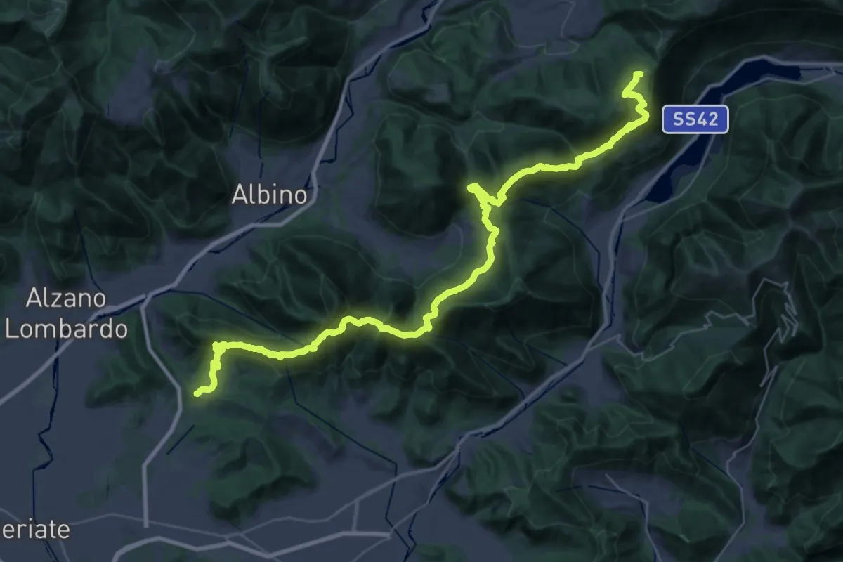
Demanding · Summit
Tribulina di Gavarno – Monticelli
43.4 km · ↑ 2445 m · 15 h 32 min · 5 km away
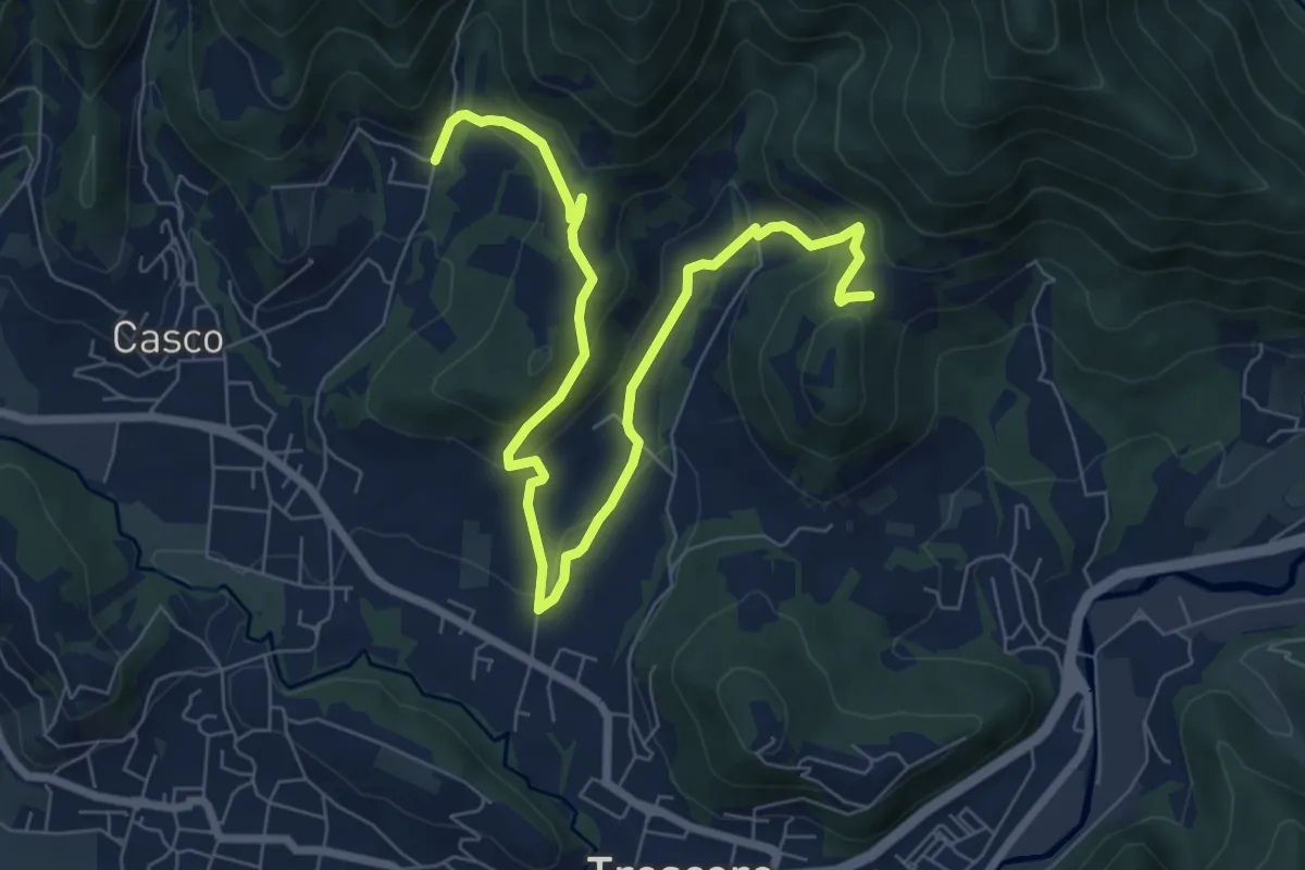
Medium · Trail
S. Ambrogio (Cenate Sopra) – Madonna del Mirabile (Luzzana)
9.2 km · ↑ 355 m · 2 h 56 min · 6 km away
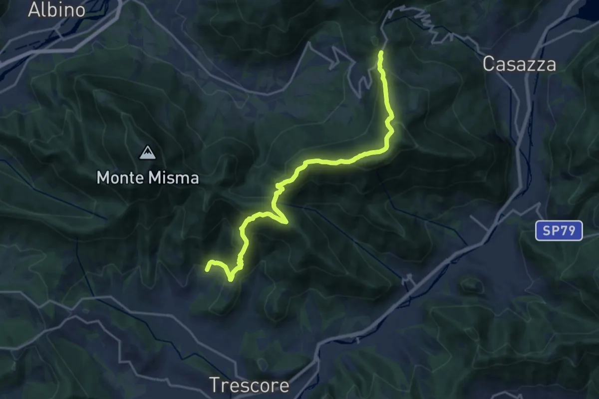
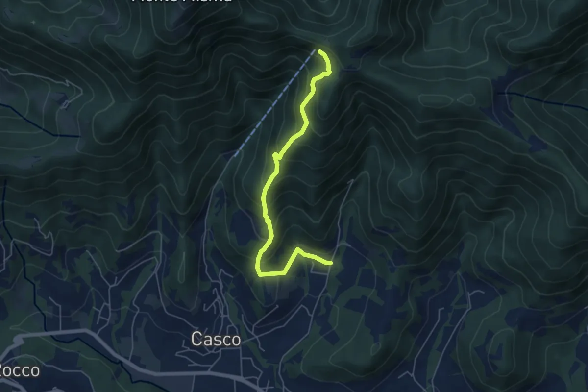
Demanding · Trail
S. Ambrogio (Cenate Sopra) – Colle Gallo
16.1 km · ↑ 1017 m · 6 h 1 min · 6 km away
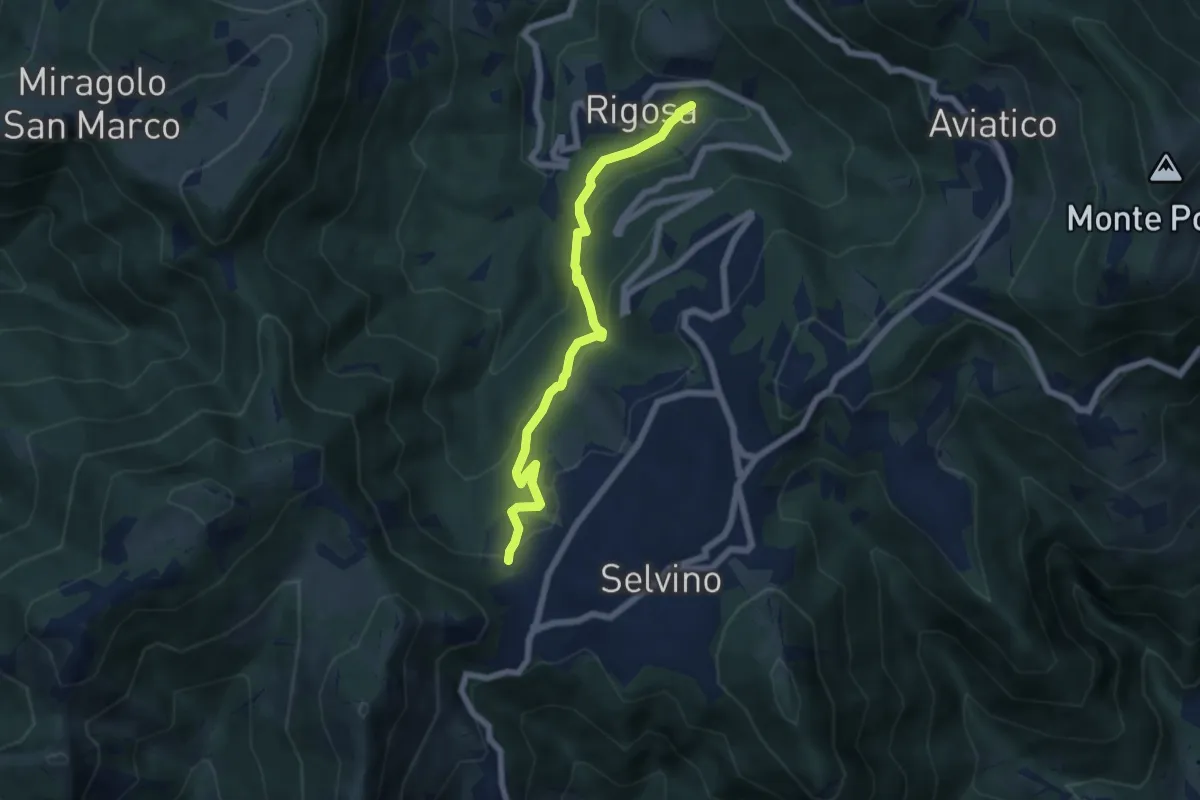
Medium · Cabin
S. Ambrogio (Cenate Sopra) – S. Maria del Misma
5.3 km · ↑ 477 m · 2 h 17 min · 6 km away
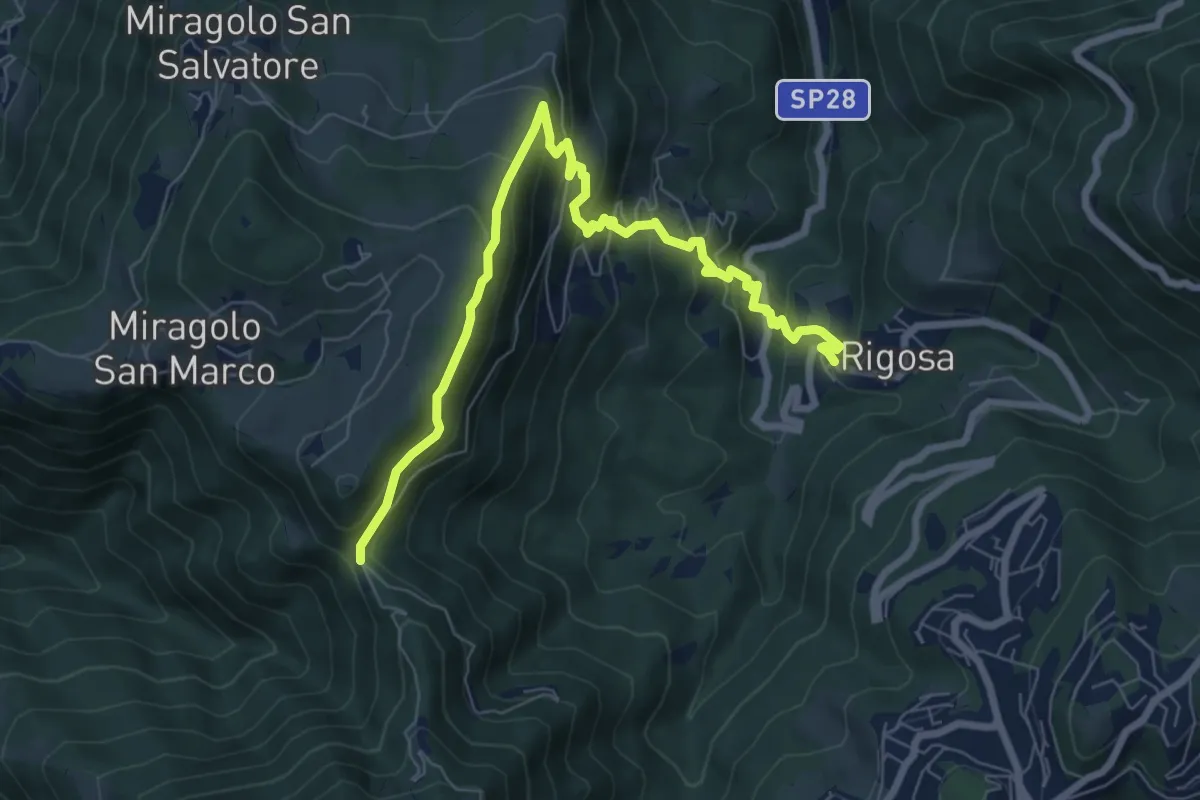
Medium · Trail
Rigosa (Vecchio Mulino) – Selvino
6.1 km · ↑ 392 m · 2 h 17 min · 6 km away
Medium · Trail
Rigosa – Passata
8.5 km · ↑ 576 m · 3 h 15 min · 6 km away