Trails near Albino
255 hikes starting within 15 km, nearest first.
Nearest first, page 2 of 6
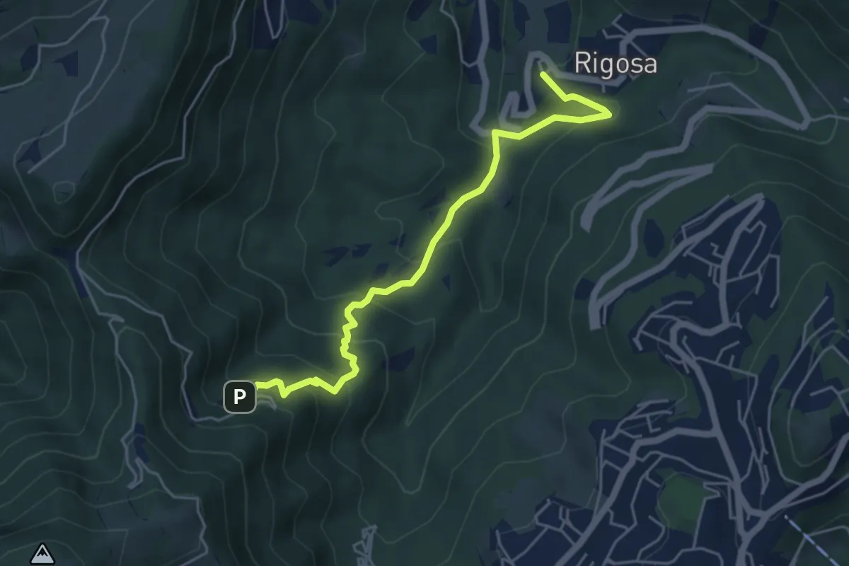
Medium · Trail
Rigosa – Santuario del Perello
5.0 km · ↑ 384 m · 2 h · 6 km away
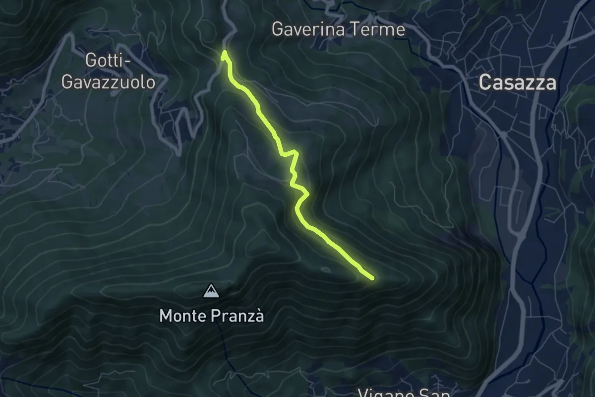
Easy · Trail
Colle Gallo (Gaverina Terme) – Cesulì
5.5 km · ↑ 257 m · 1 h 51 min · 6 km away
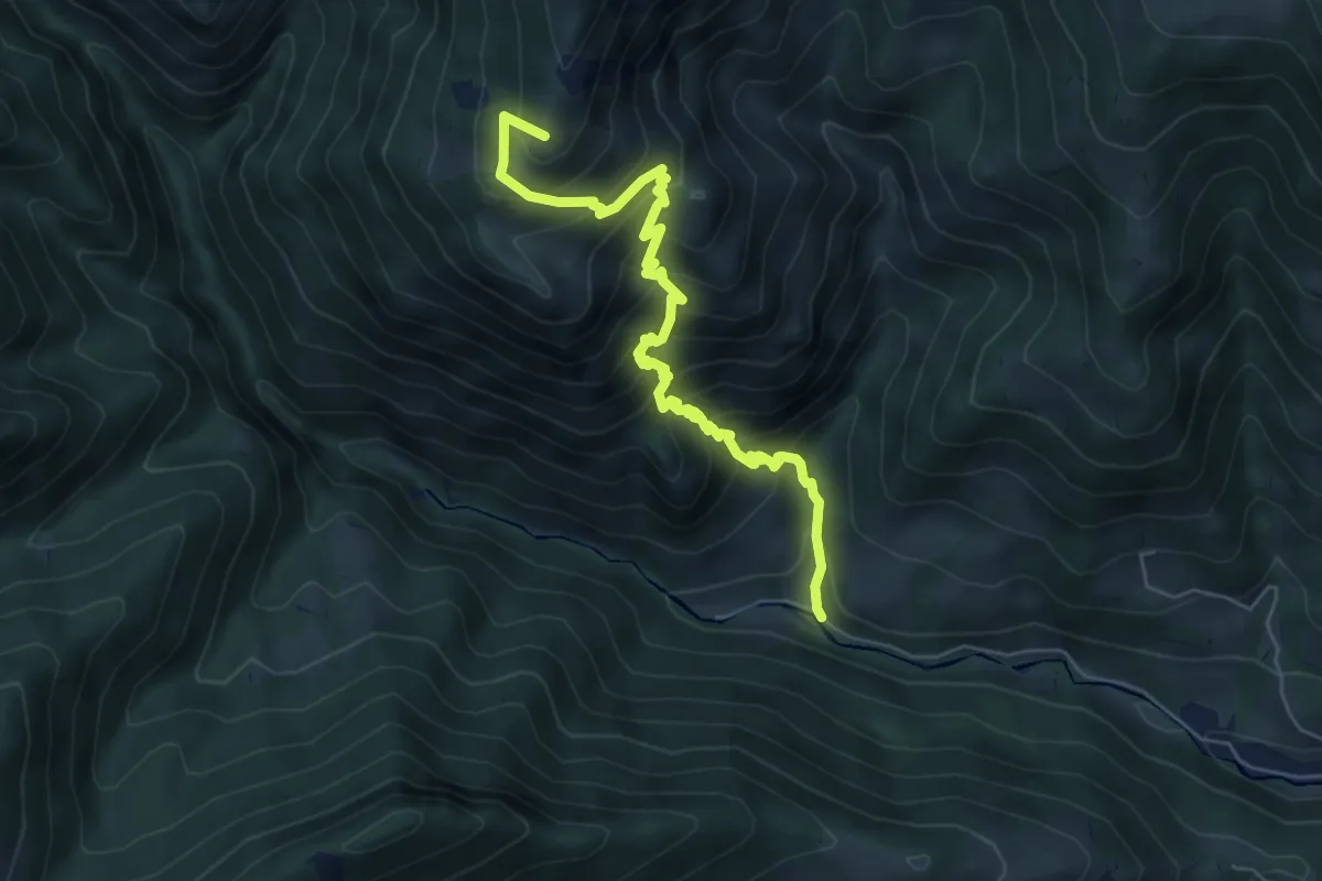
Medium · Summit
Vertova – Passo di Bliben
6.5 km · ↑ 709 m · 3 h 4 min · 6 km away
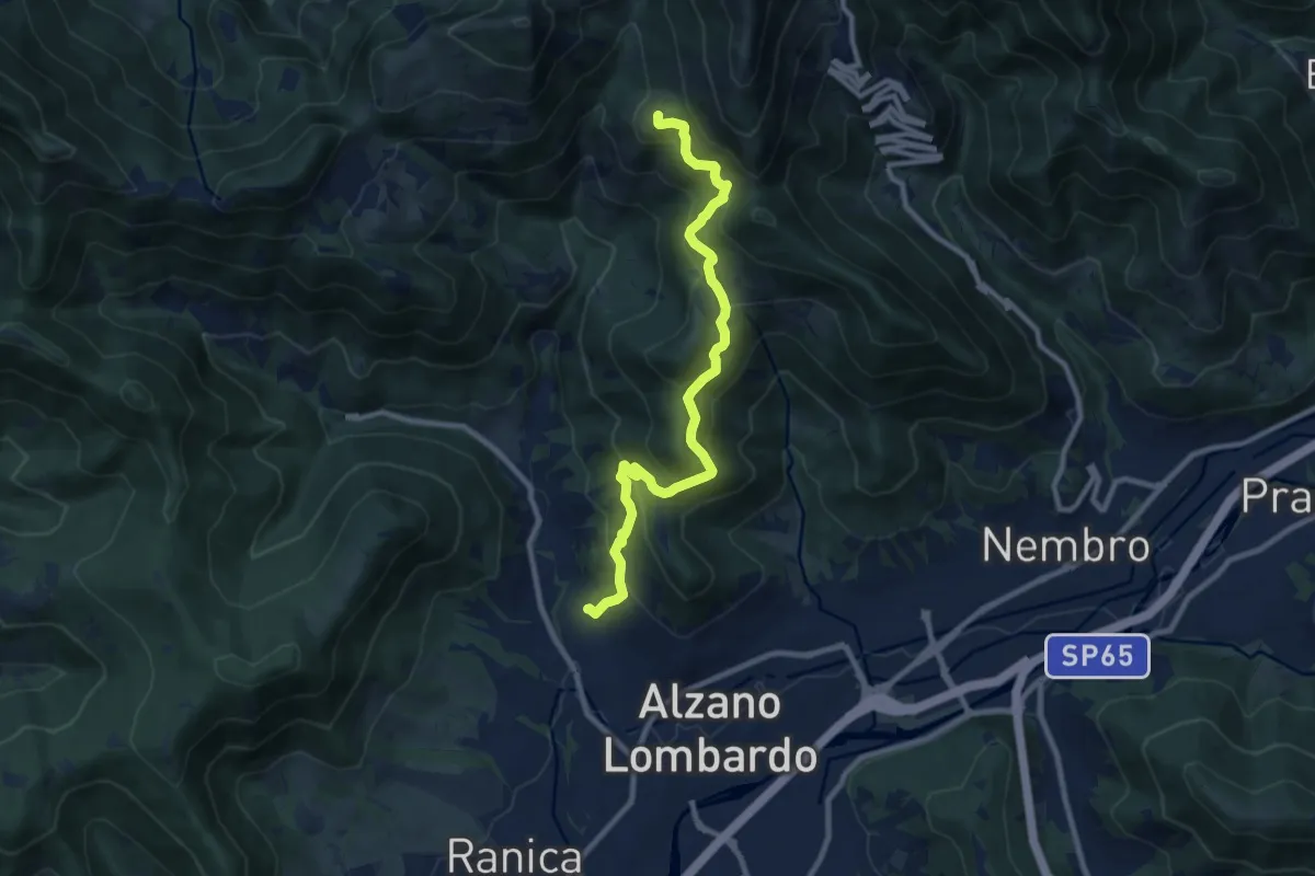
Medium · Summit
Nese (Alzano Lombardo) – Salmezza (Selvino)
9.9 km · ↑ 707 m · 3 h 52 min · 6 km away
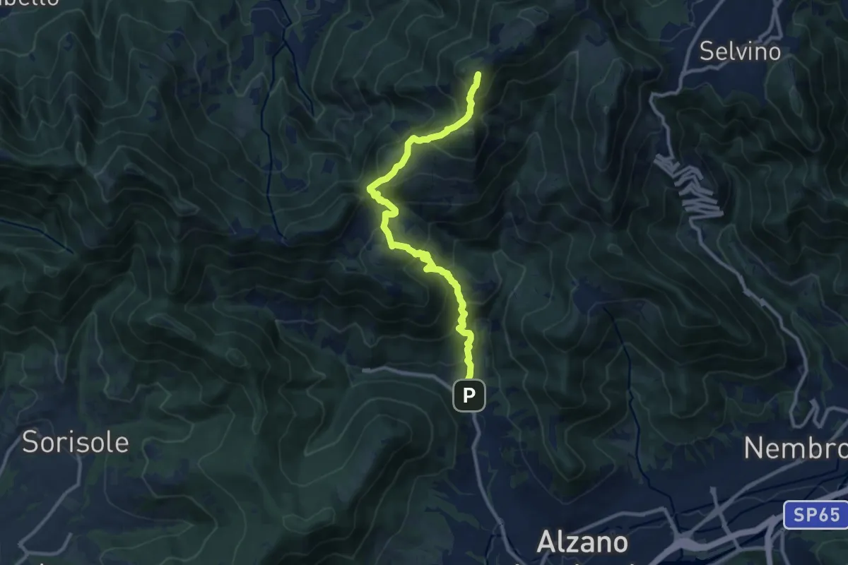
Demanding · Summit
Nese (Alzano Lombardo) – Salmezza (Selvino)
10.7 km · ↑ 906 m · 4 h 30 min · 6 km away
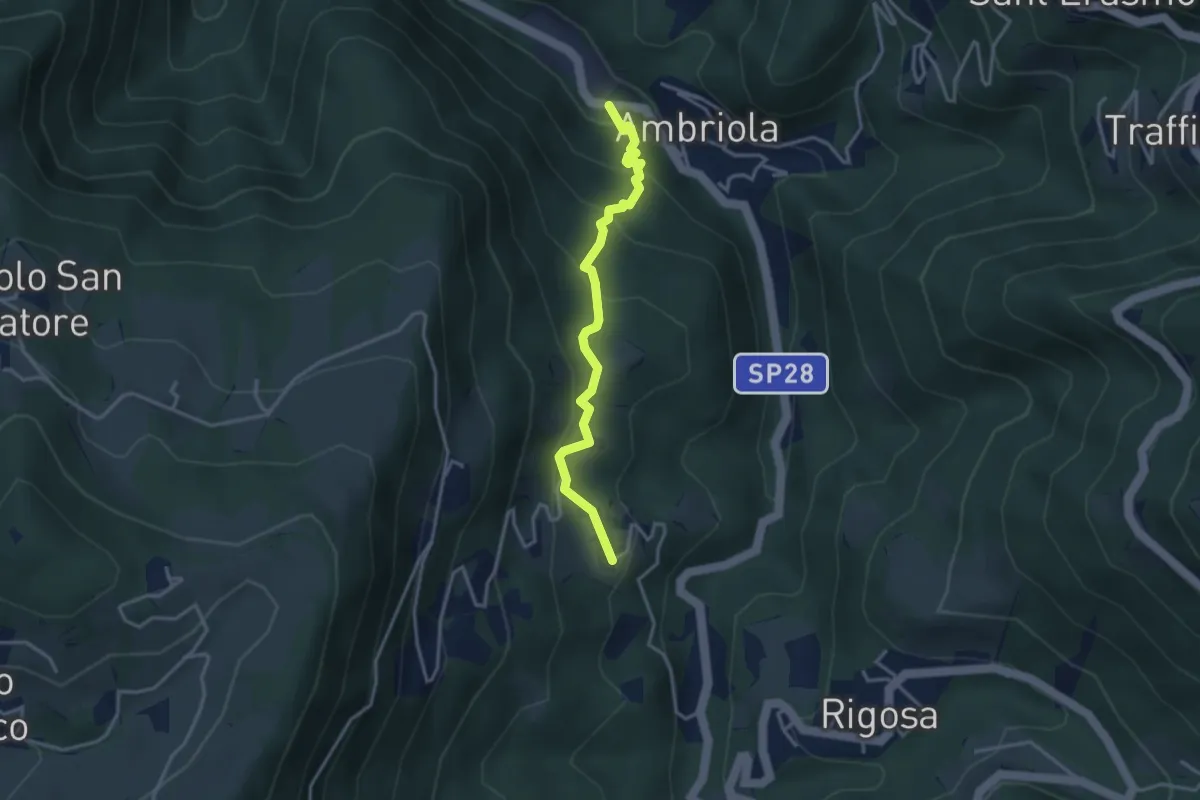
Medium · Trail
Ambriola – Sambusita (Chiesa)
3.3 km · ↑ 268 m · 1 h 21 min · 7 km away
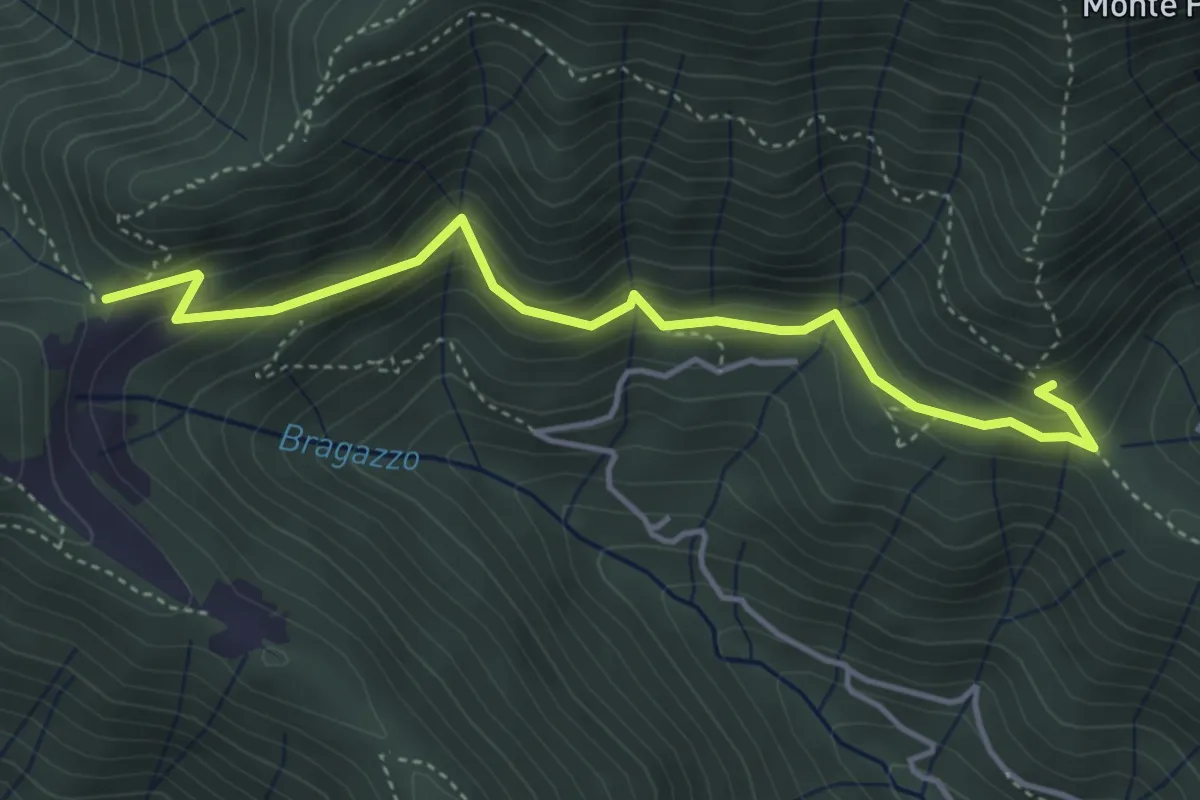
Medium · Trail
Fienile Piazzolo (Vigano San Martino) – Prati Alti
4.5 km · ↑ 340 m · 1 h 48 min · 7 km away
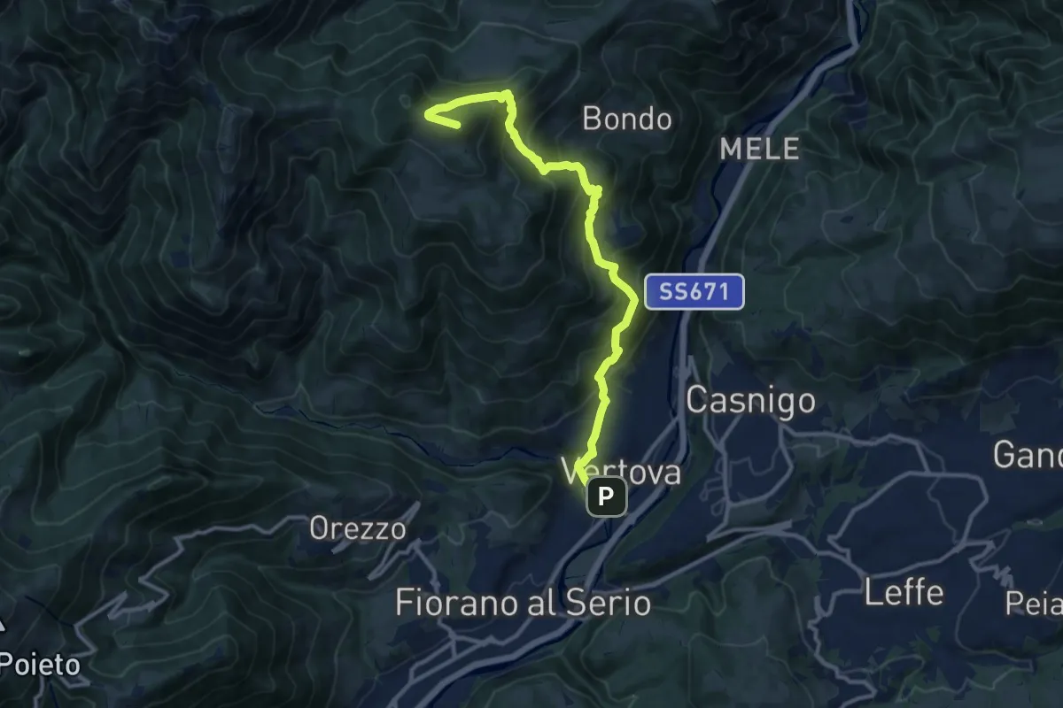
Demanding · Summit
Il Sentiero di San Patrizio
12.0 km · ↑ 934 m · 4 h 51 min · 7 km away
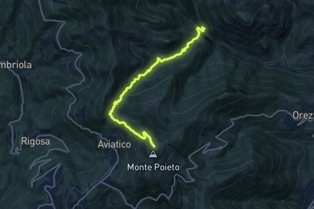
Demanding · Trail
Val Vertova – Monte Poieto
10.0 km · ↑ 782 m · 4 h 4 min · 7 km away
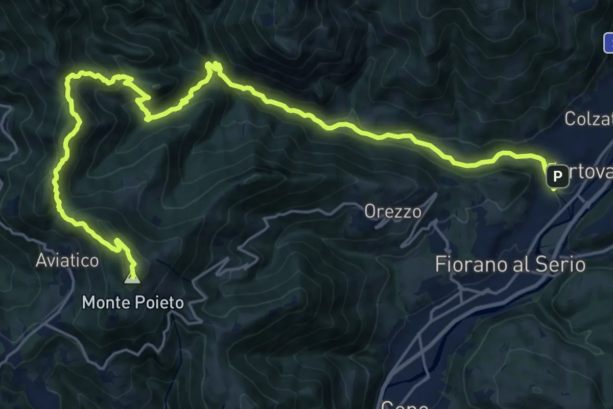
Demanding · Summit
Alta Via delle Grazie - Tappa 2
25.0 km · ↑ 1415 m · 8 h 59 min · 7 km away
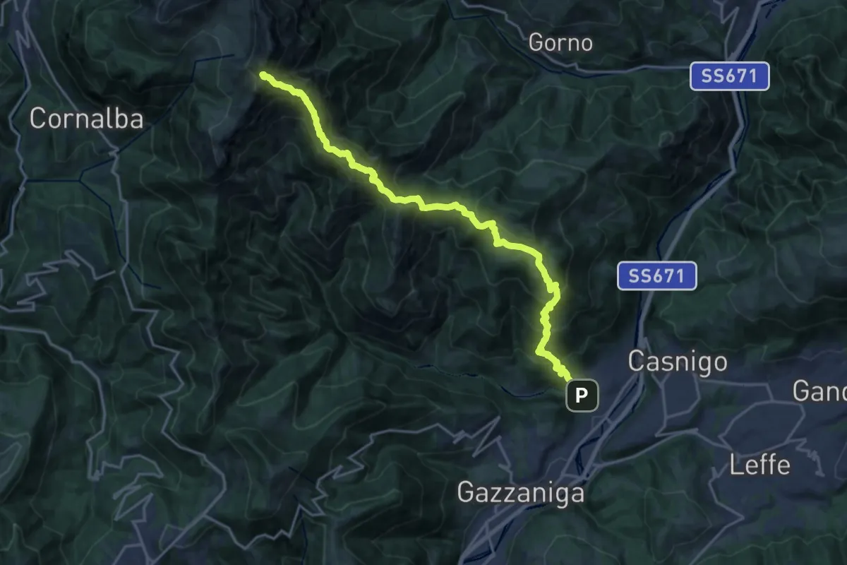
Demanding · Summit
Vertova – Cima Campelli
20.8 km · ↑ 1808 m · 8 h 50 min · 7 km away
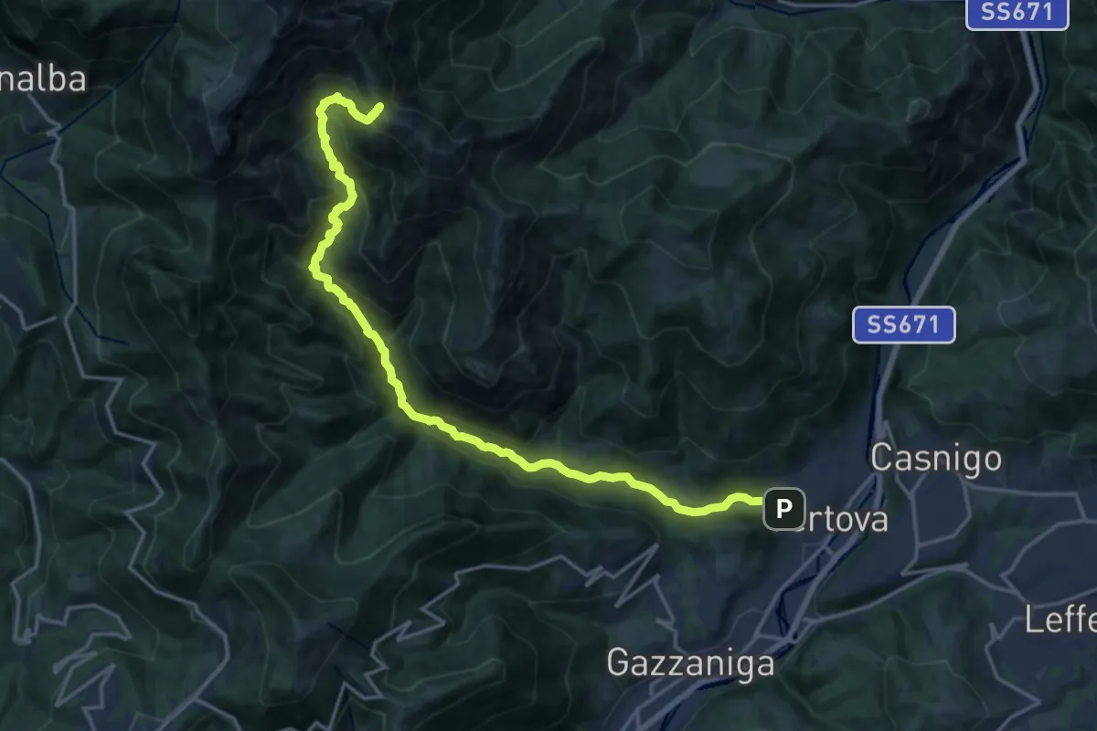
Demanding · Cabin
Vertova – Bivacco Testa
19.1 km · ↑ 1189 m · 7 h 5 min · 7 km away
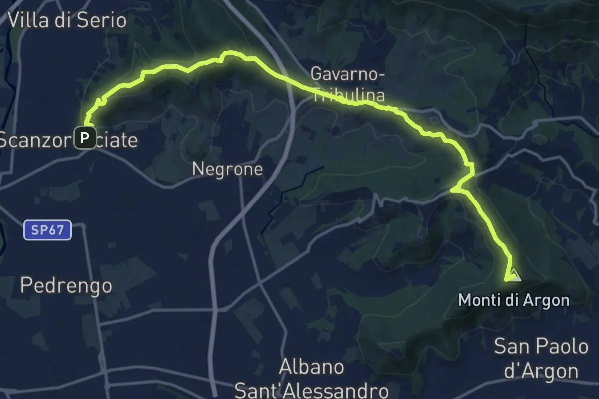
Medium · Summit
La Via delle Sorelle - Tappa 5 Traversa
7.5 km · ↑ 337 m · 2 h 31 min · 7 km away
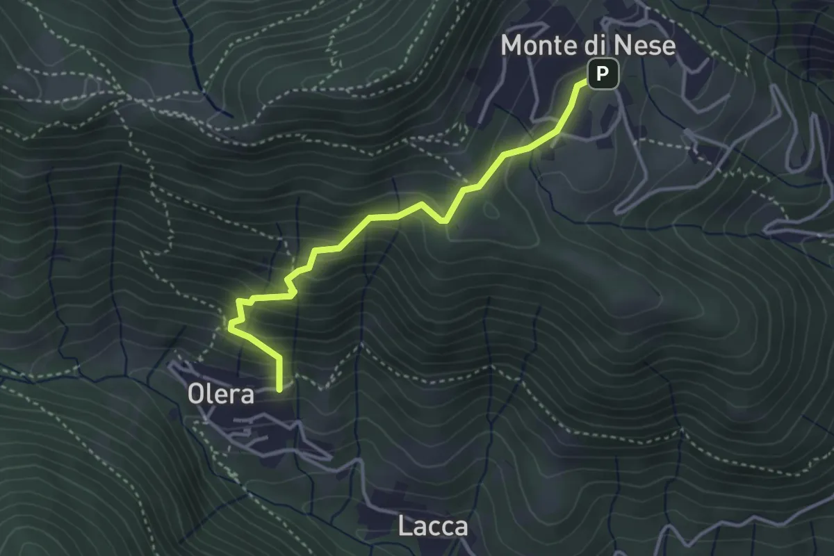
Medium · Trail
Olera (Alzano Lombardo) – Monte di Nese
3.4 km · ↑ 307 m · 1 h 29 min · 7 km away
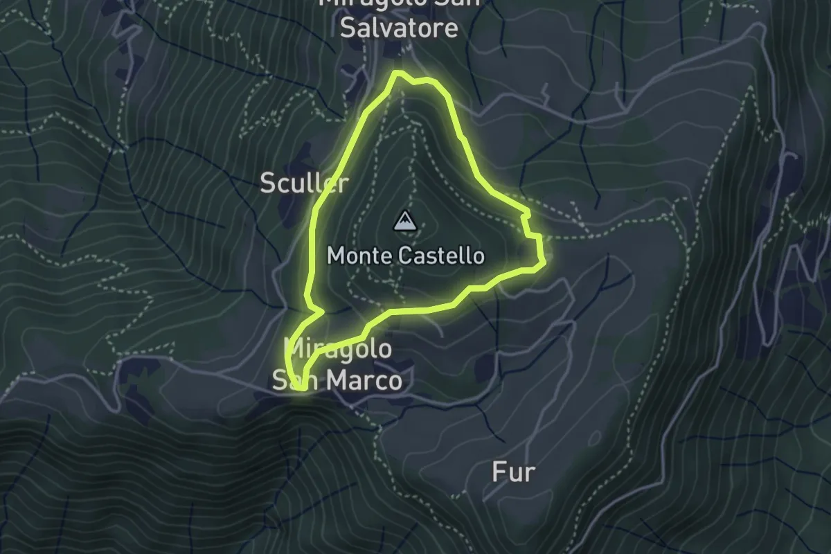
Easy · Trail
Giro del Monte Castello
2.9 km · ↑ 111 m · 58 min · 7 km away
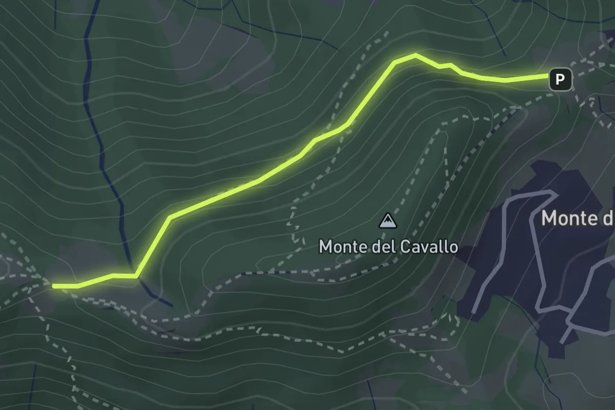
Easy · Trail
Canto Basso – Forcella di Monte di Nese
2.7 km · ↑ 240 m · 1 h 10 min · 7 km away
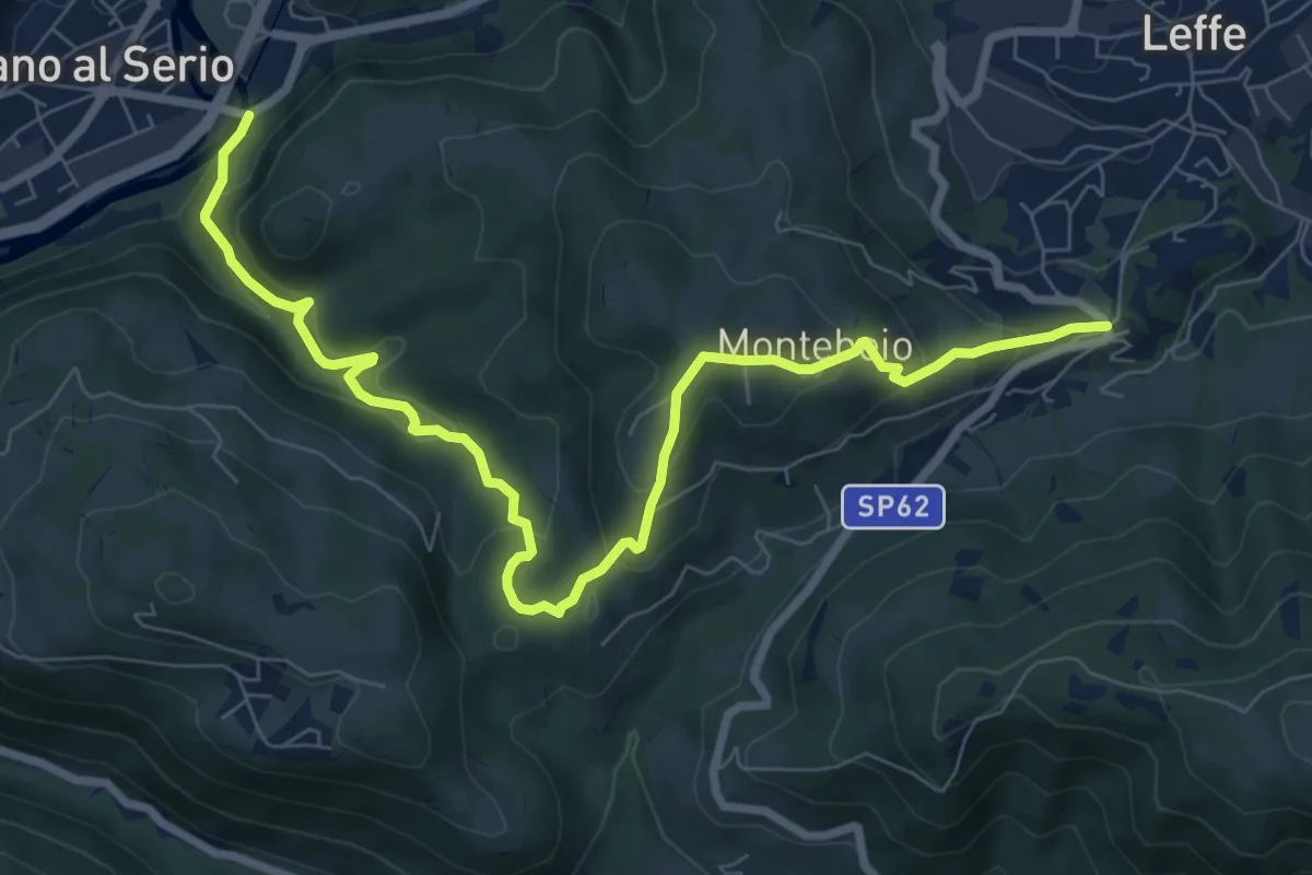
Medium · Trail
Ponte di Valgandino – S. Rocco di Leffe
9.6 km · ↑ 456 m · 3 h 15 min · 8 km away
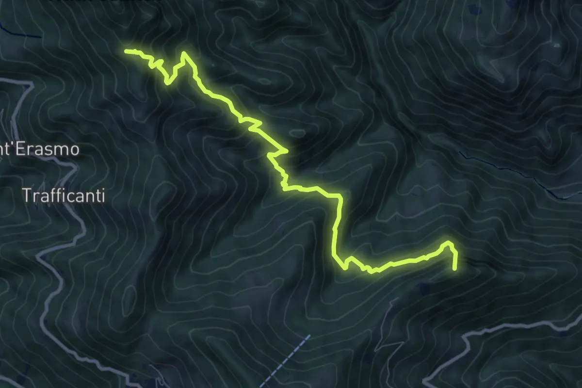
Demanding · Summit
Os-cioel (Orezzo) – Incrocio 519
10.4 km · ↑ 1063 m · 4 h 45 min · 8 km away
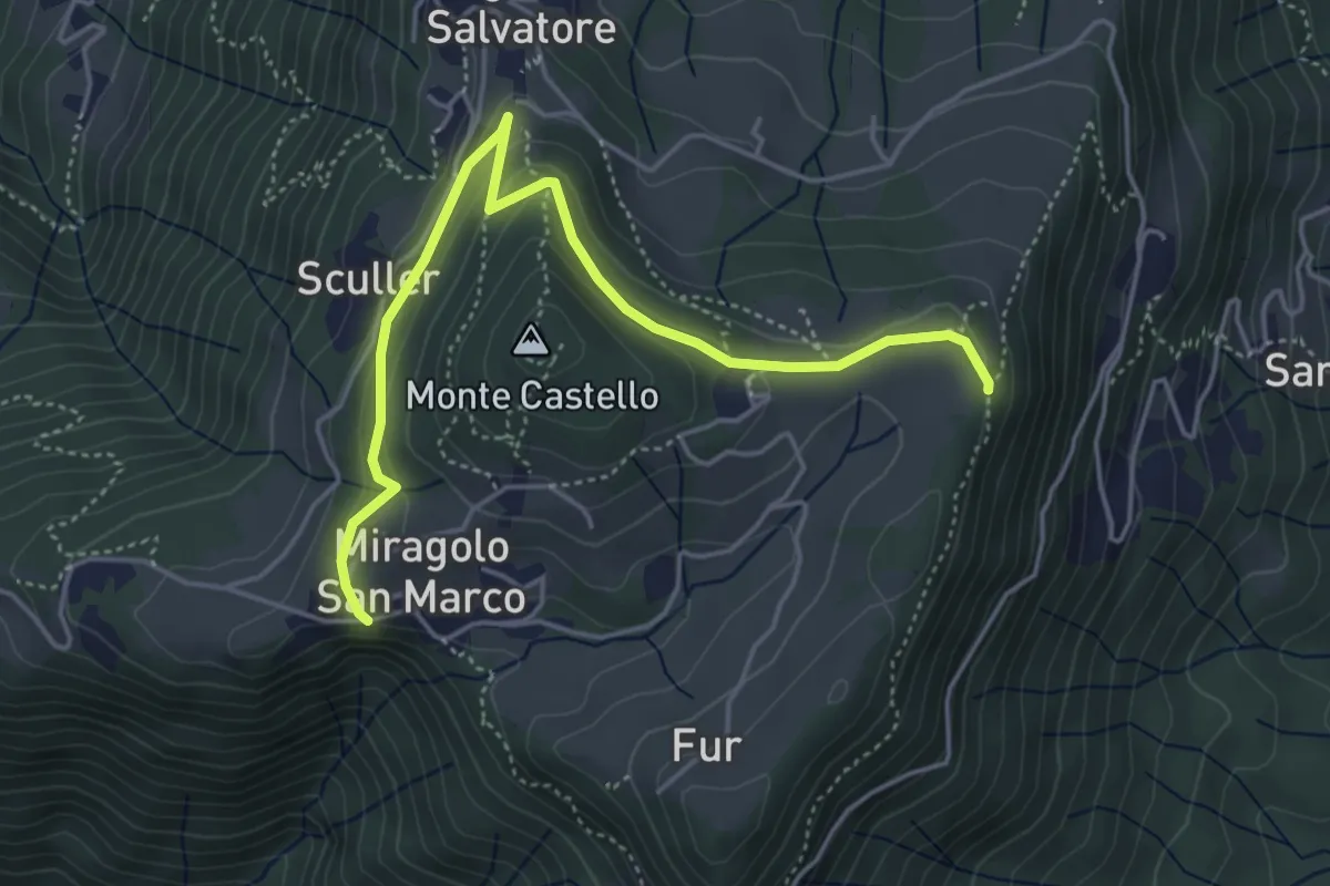
Medium · Trail
Miragolo San Marco – Incrocio H53
5.1 km · ↑ 160 m · 1 h 32 min · 8 km away
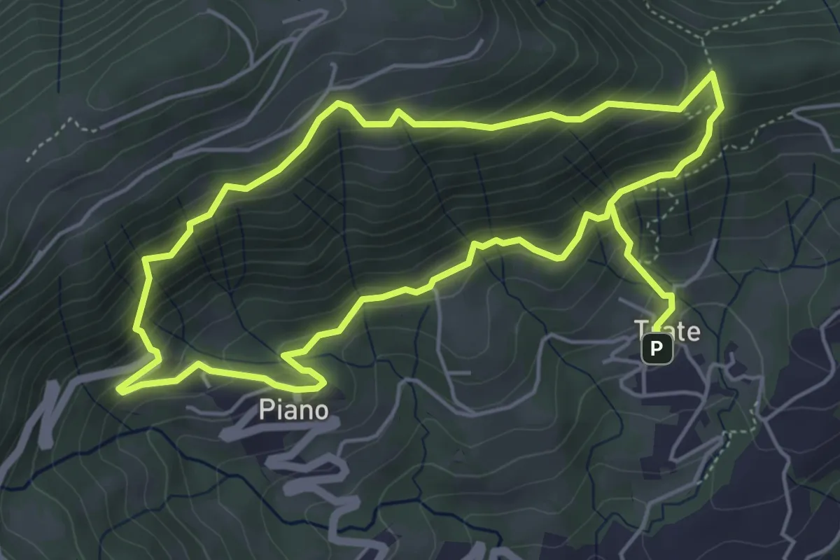
Medium · Trail
Trate (Gaverina Terme) – Trate (Gaverina Terme)
4.9 km · ↑ 435 m · 2 h 7 min · 8 km away
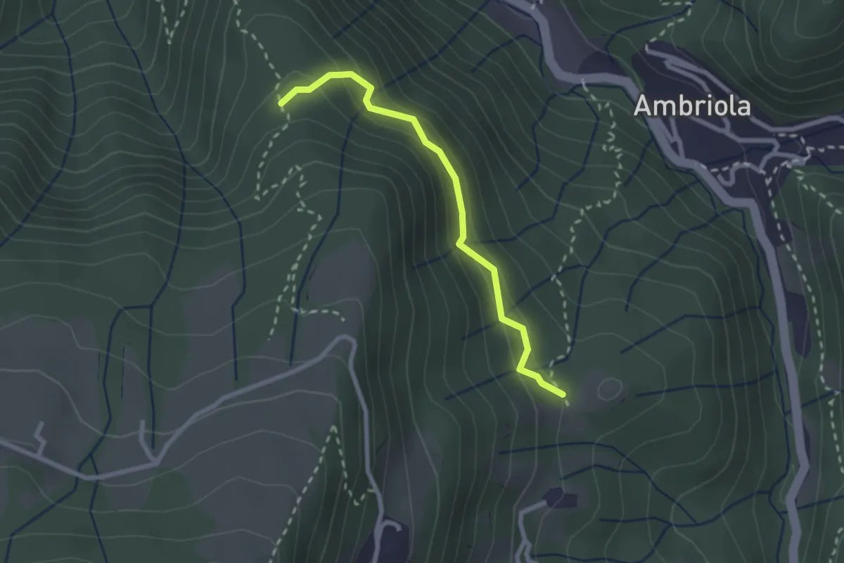
Demanding · Trail
Incrocio H51 – Incrocio H52
2.3 km · ↑ 197 m · 58 min · 8 km away
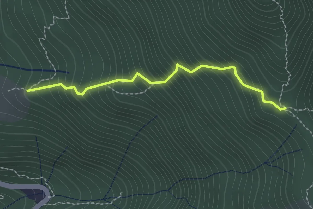
Easy · Trail
Stalla Aral – Incrocio sentiero 519
2.0 km · ↑ 300 m · 1 h 7 min · 8 km away
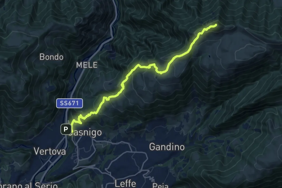
Demanding · Summit
Casnigo (SS. Trinità) – Pizzo Formico
16.7 km · ↑ 1289 m · 6 h 44 min · 8 km away
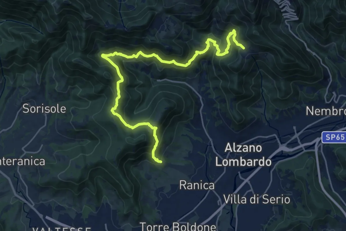
Demanding · Trail
San Rocco (Ranica) – Lonno (Nembro)
20.9 km · ↑ 1269 m · 7 h 41 min · 8 km away
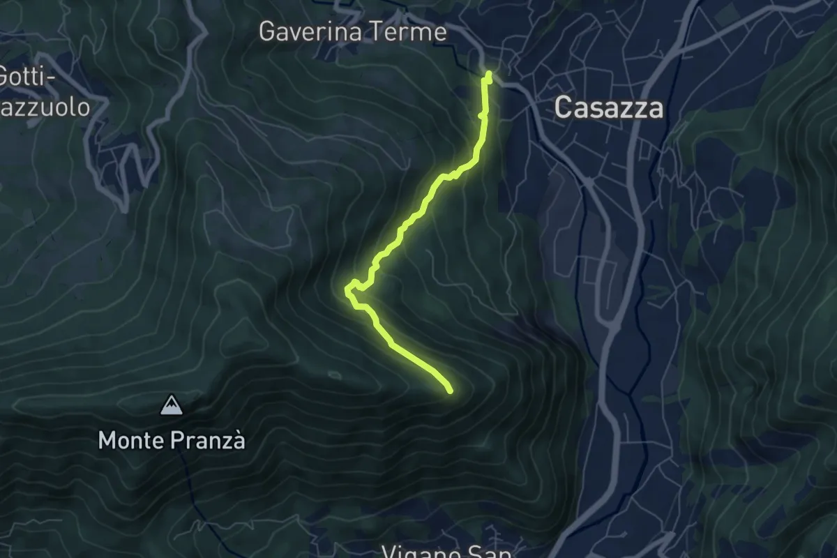
Expert · Trail
Mologno di Casazza – Cesulì
5.6 km · ↑ 492 m · 2 h 23 min · 8 km away
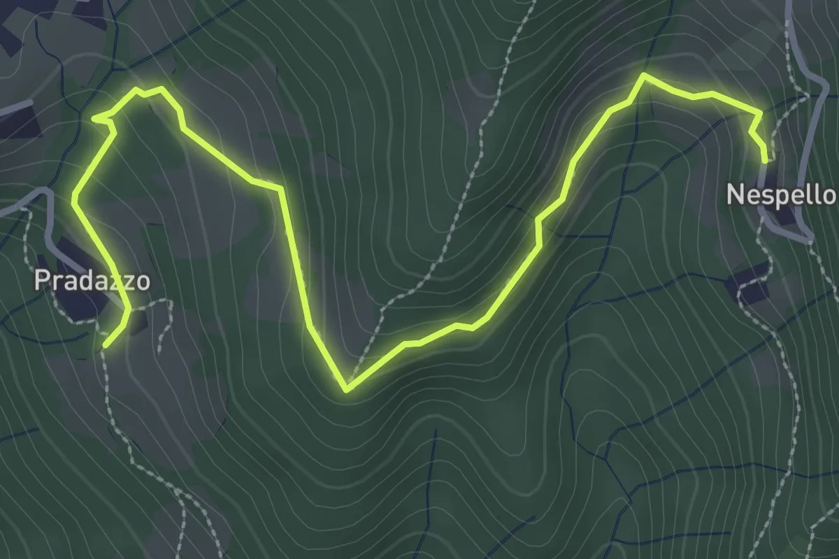
Medium · Trail
Via Mercatorum - Variante Ascensione
3.8 km · ↑ 188 m · 1 h 18 min · 8 km away
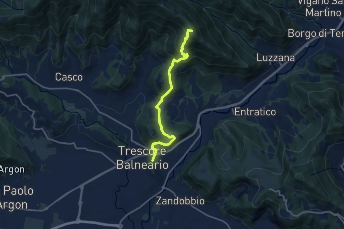
Medium · Summit
Trescore Balneario – Pizzo Casgnola
8.8 km · ↑ 574 m · 3 h 19 min · 8 km away
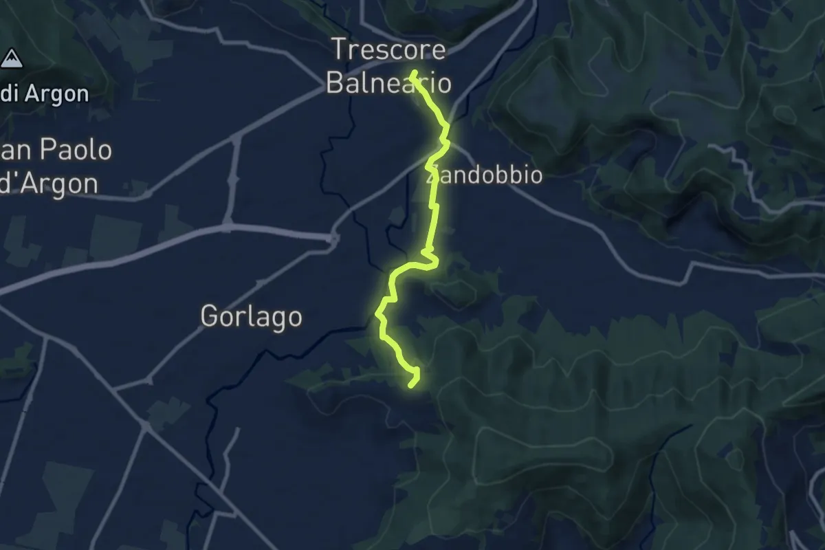
Easy · Trail
Trescore Balneario – Carobbio degli Angeli (incrocio 650)
7.6 km · ↑ 174 m · 2 h 10 min · 8 km away
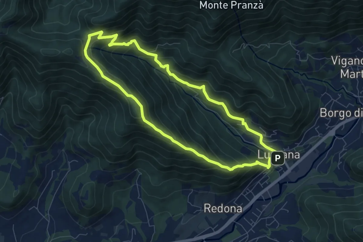
Medium · Summit
Luzzana – Luzzana
7.3 km · ↑ 506 m · 2 h 55 min · 8 km away
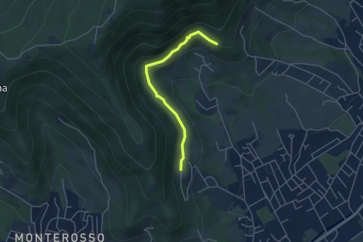
Easy · Trail
Gaito (Torre Boldone) – San Rocco (Ponteranica)
3.3 km · ↑ 127 m · 1 h 4 min · 8 km away
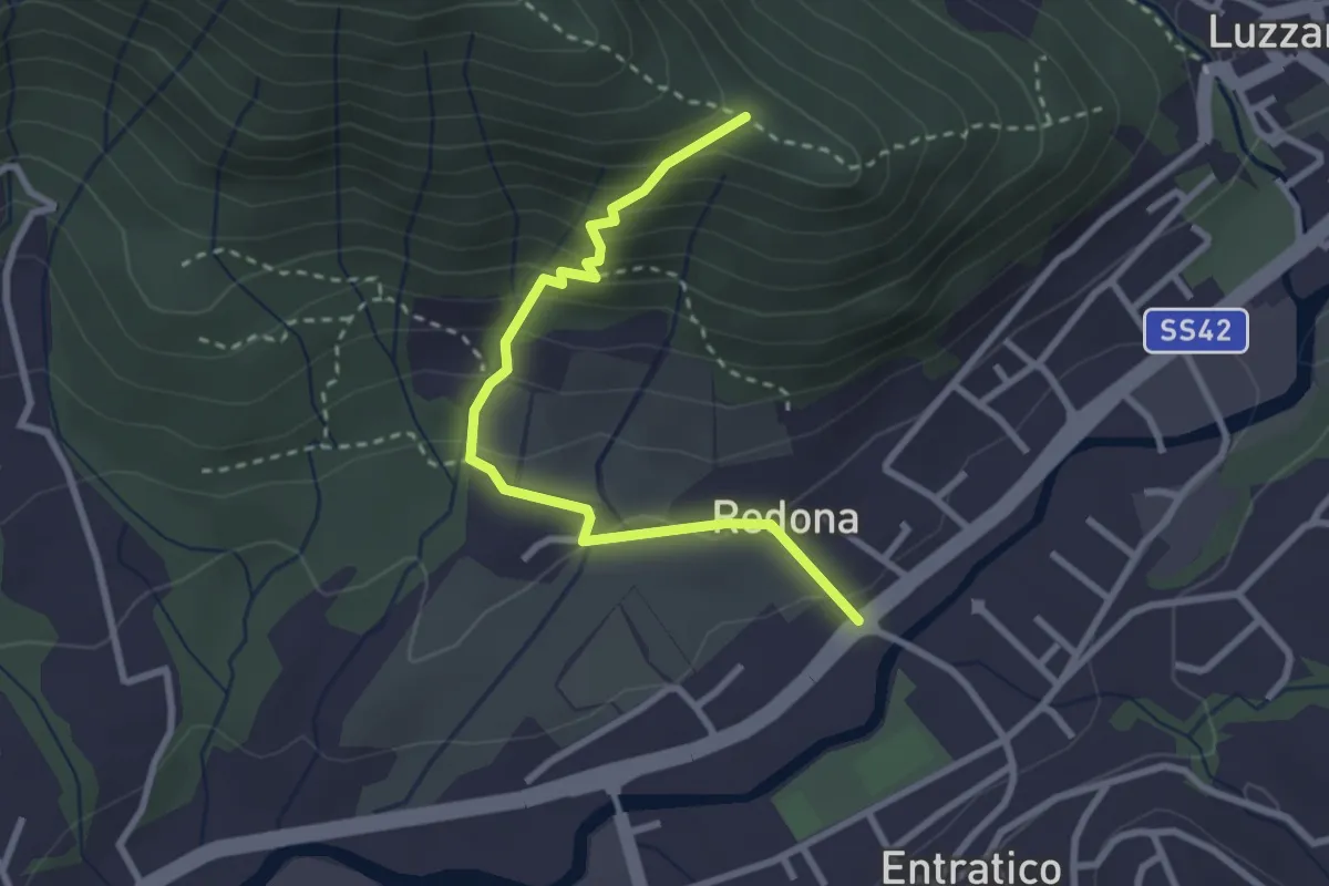
Medium · Trail
Redona (Entratico) – Costa del Colle (incrocio 611)
2.9 km · ↑ 245 m · 1 h 13 min · 8 km away
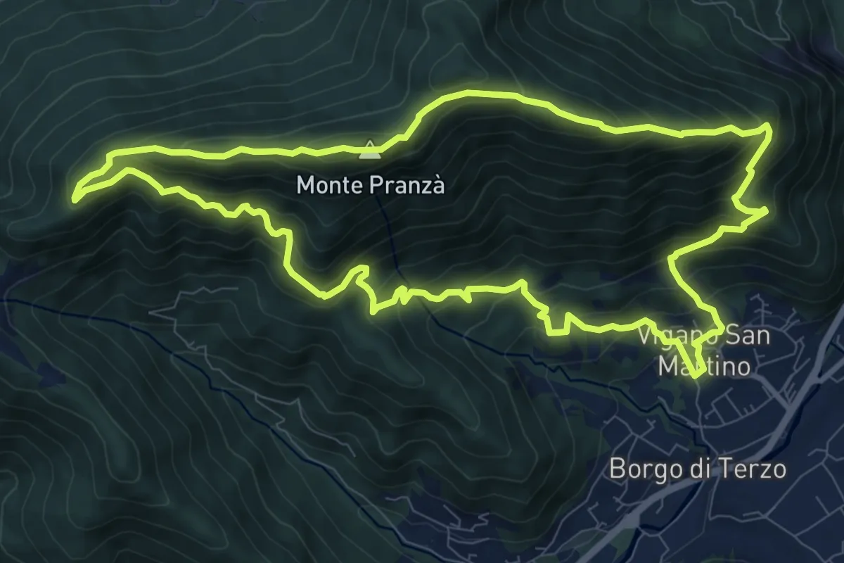
Demanding · Summit
Vigano San Martino – Vigano San Martino
10.4 km · ↑ 875 m · 4 h 29 min · 8 km away
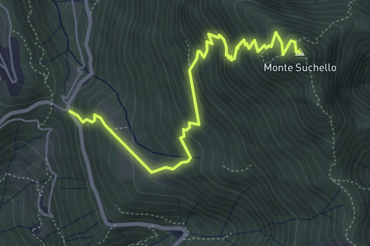
Medium · Summit
Costa Serina – Monte Suchello
5.5 km · ↑ 618 m · 2 h 39 min · 8 km away
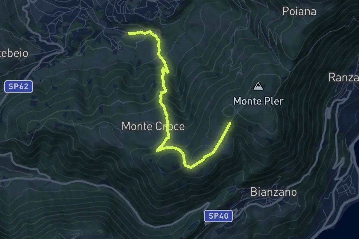
Medium · Trail
Leffe (campo sportivo) – Monte Croce (incrocio 513)
8.0 km · ↑ 567 m · 3 h 7 min · 8 km away
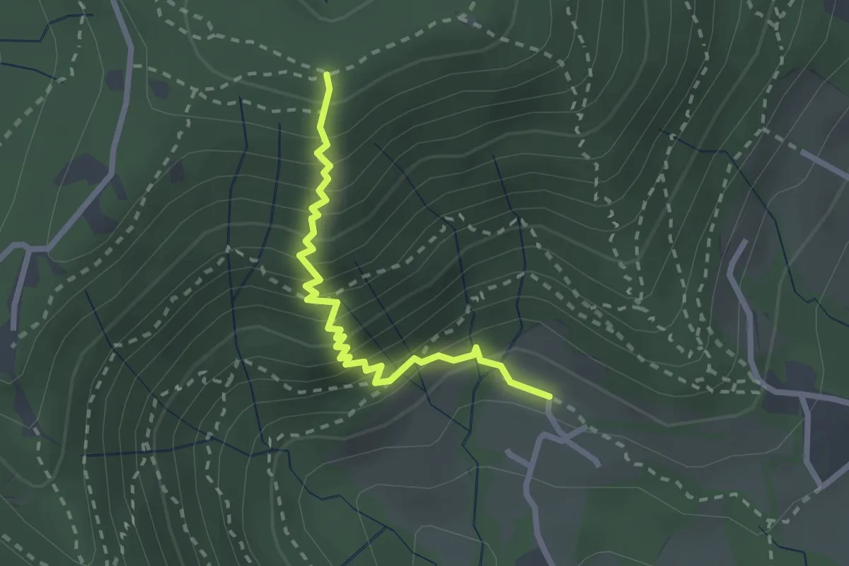
Medium · Trail
Fenile (Torre Boldone) – Croce del Boscone (Torre Boldone)
2.4 km · ↑ 321 m · 1 h 15 min · 8 km away
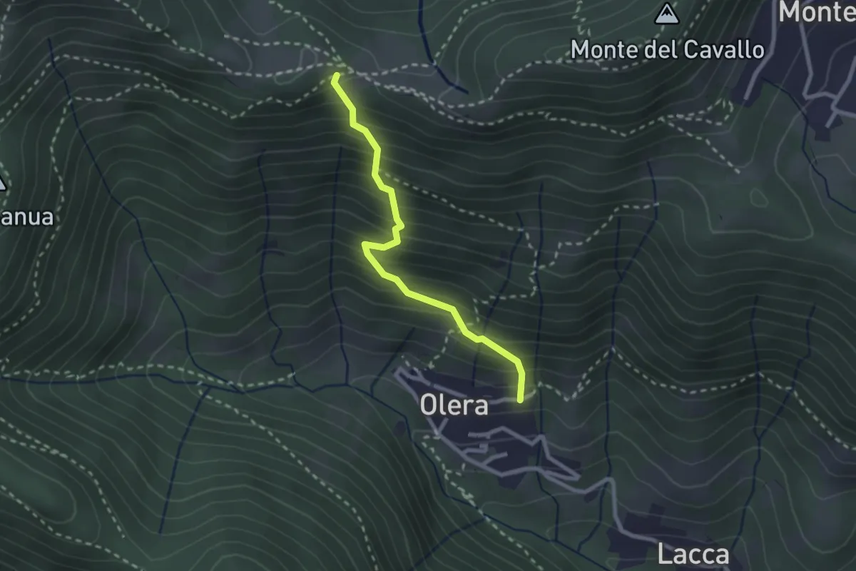
Medium · Trail
Olera (Alzano Lombardo) – Canto Basso
2.3 km · ↑ 347 m · 1 h 18 min · 9 km away
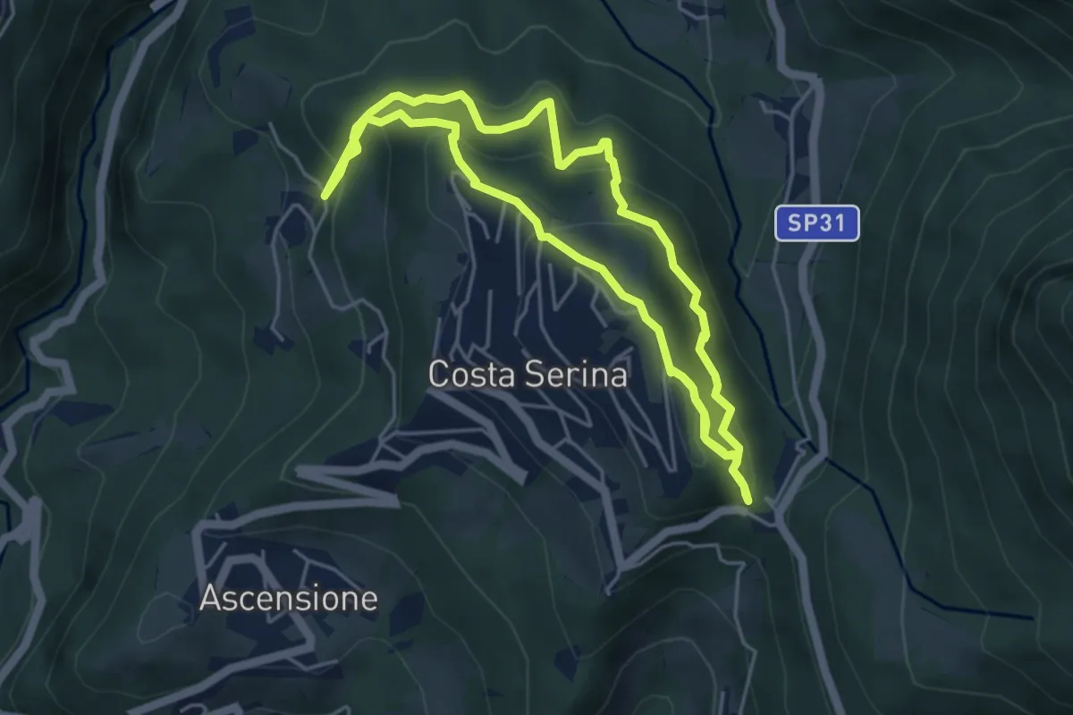
Medium · Trail
Sentiero Rosso
4.6 km · ↑ 352 m · 1 h 54 min · 9 km away
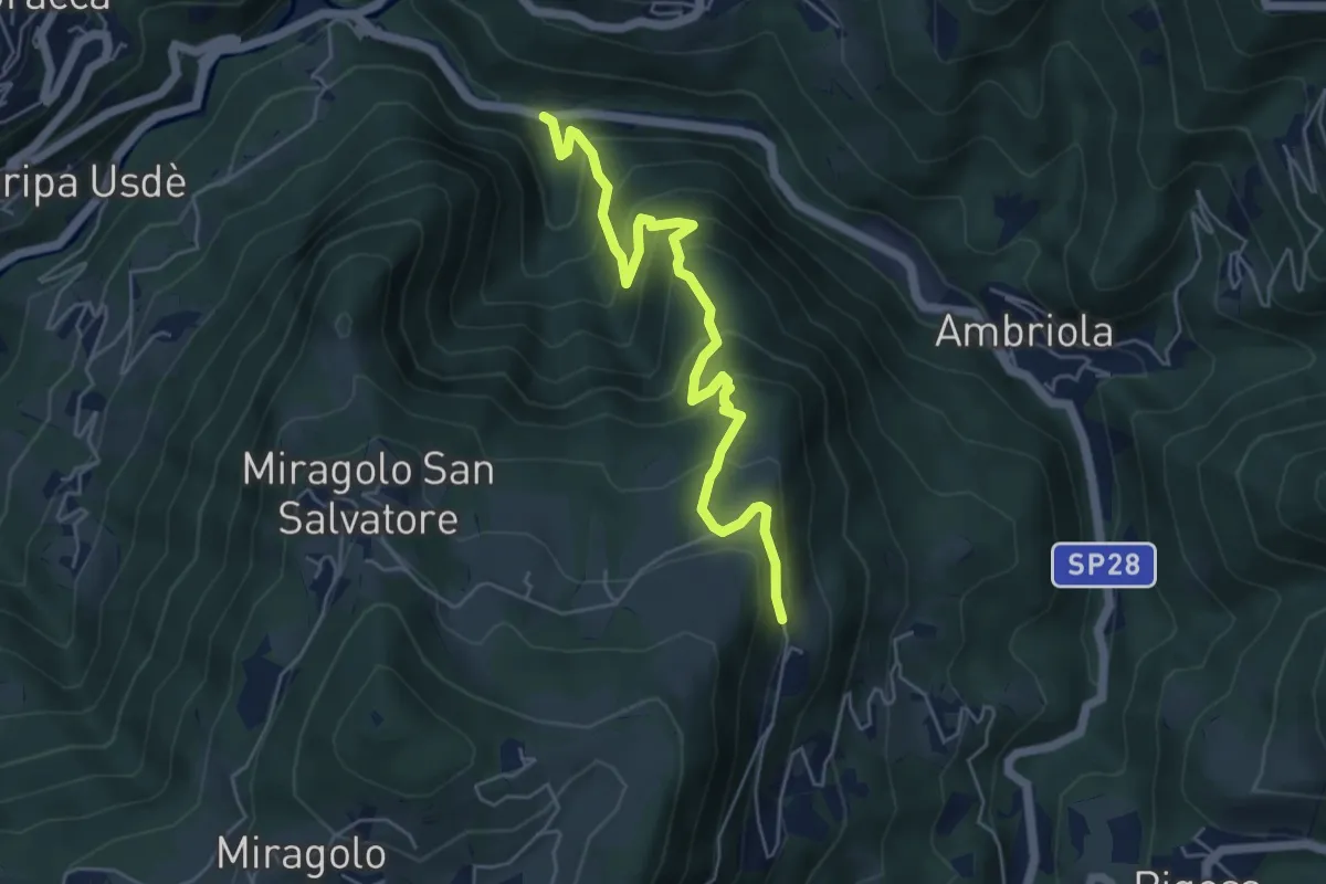
Medium · Trail
Algua – Sambusita alta (Case di Sopra)
5.6 km · ↑ 528 m · 2 h 28 min · 9 km away
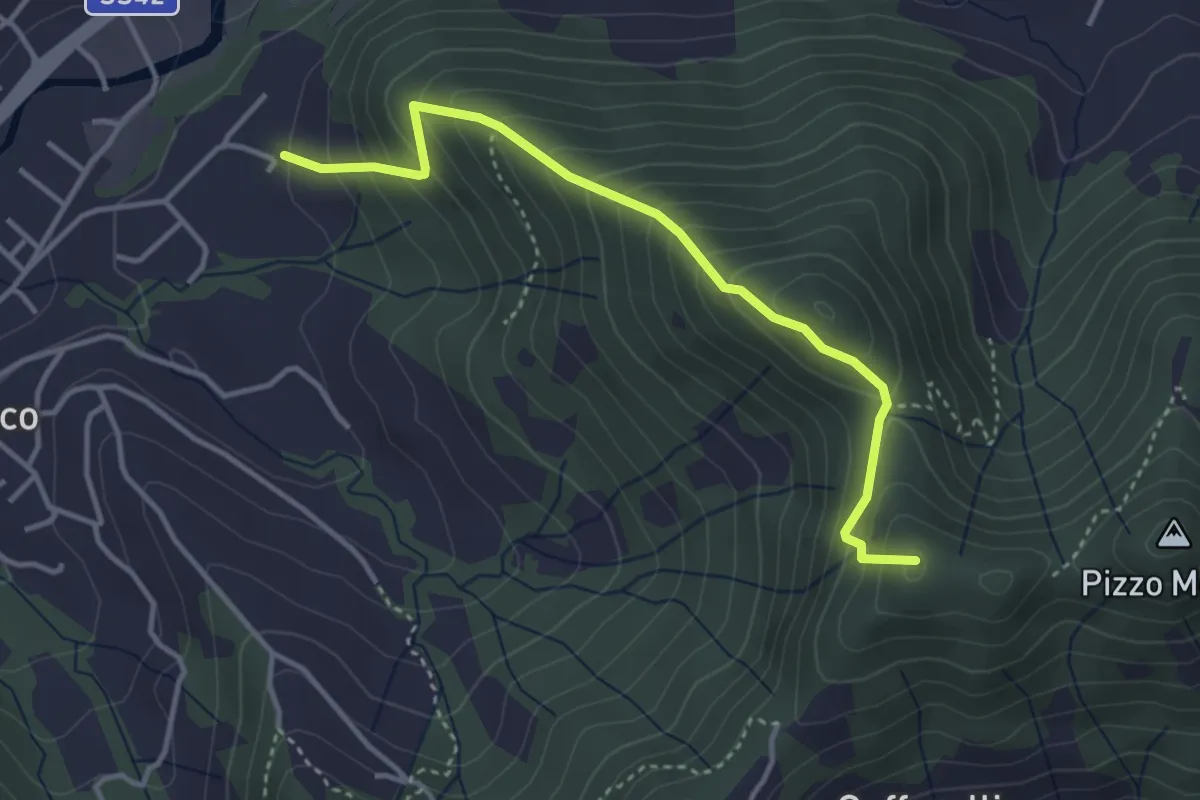
Medium · Summit
Maico (Entratico) – Il Casino (Foresto Sparso)
3.7 km · ↑ 394 m · 1 h 44 min · 9 km away
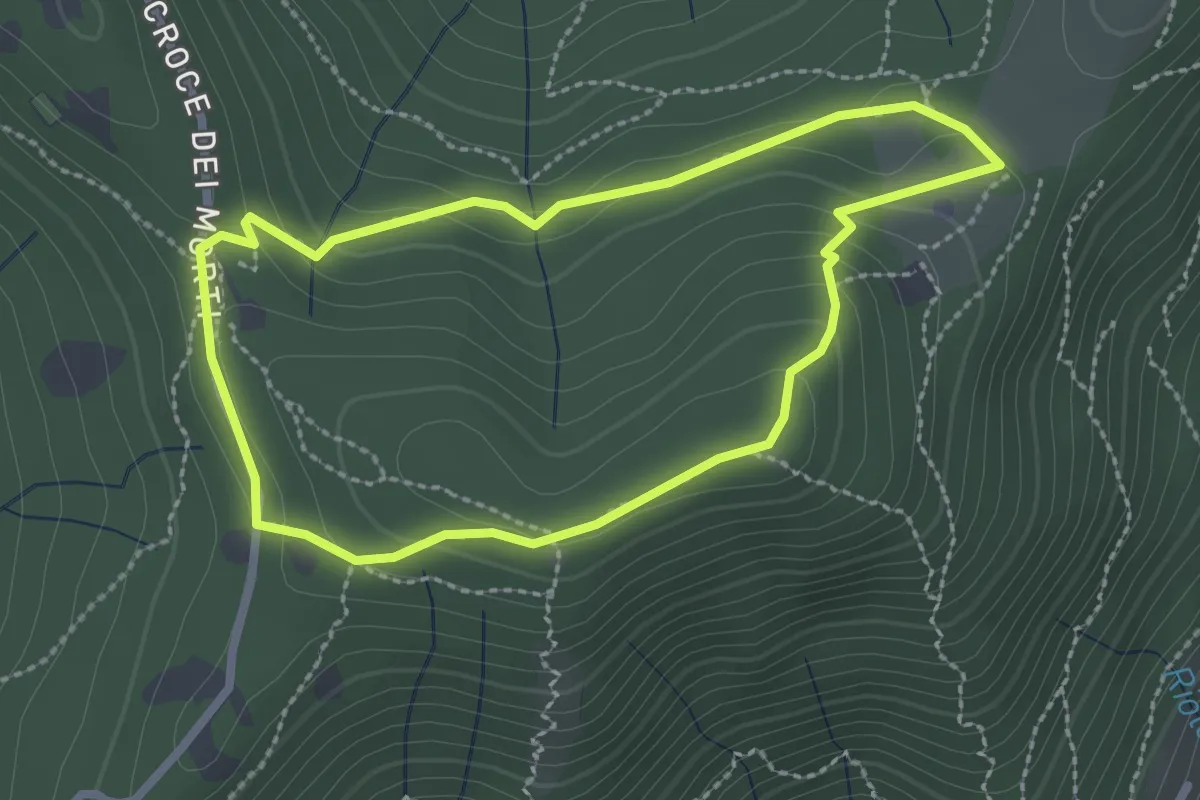
Medium · Summit
Giro del Colle di Ranica
2.4 km · ↑ 91 m · 47 min · 9 km away
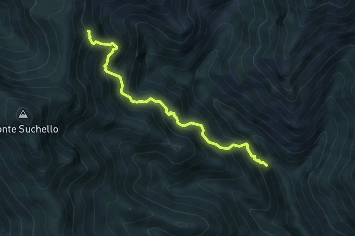
Medium · Trail
Val Vertova – Colle di Barbata
5.0 km · ↑ 660 m · 2 h 36 min · 9 km away
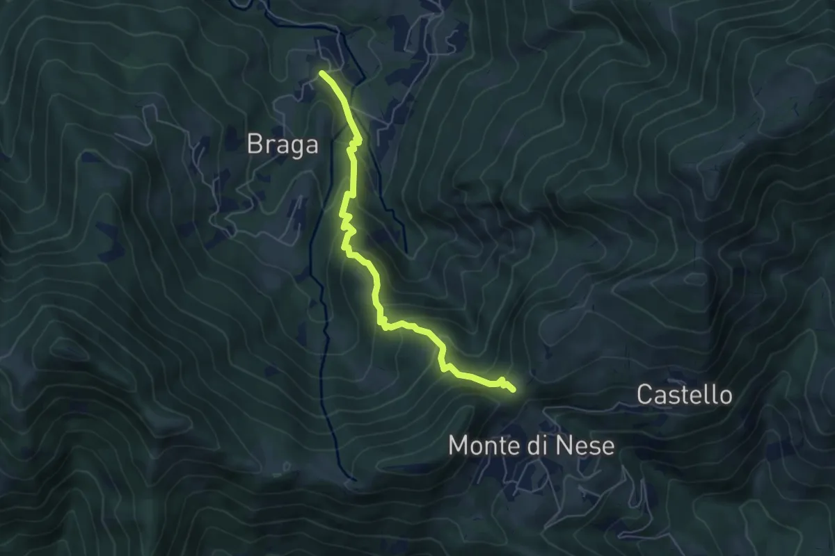
Medium · Trail
Poscante – Forcella di Monte di Nese
5.7 km · ↑ 465 m · 2 h 21 min · 9 km away
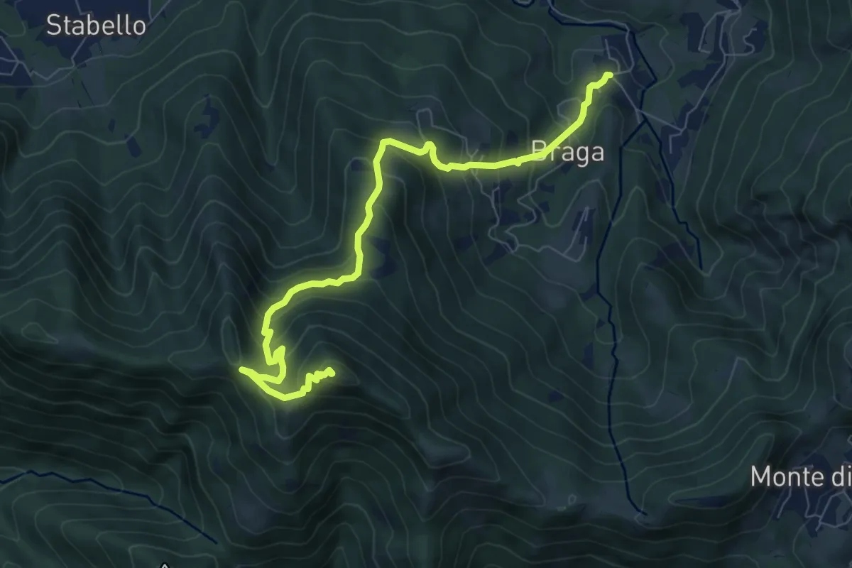
Medium · Summit
Poscante – Canto Alto
8.5 km · ↑ 775 m · 3 h 41 min · 9 km away
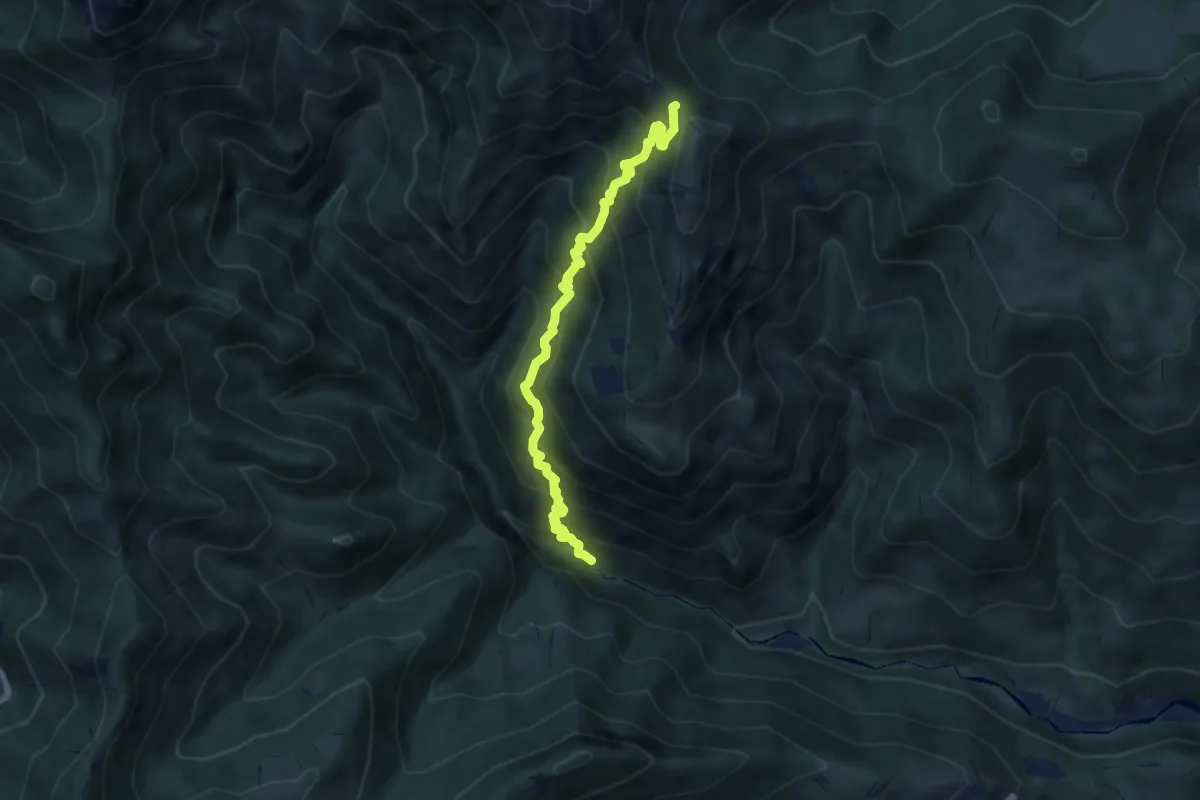
Demanding · Trail
Gaernài (Val Vertova) – Passo di Bliben
7.3 km · ↑ 856 m · 3 h 35 min · 9 km away
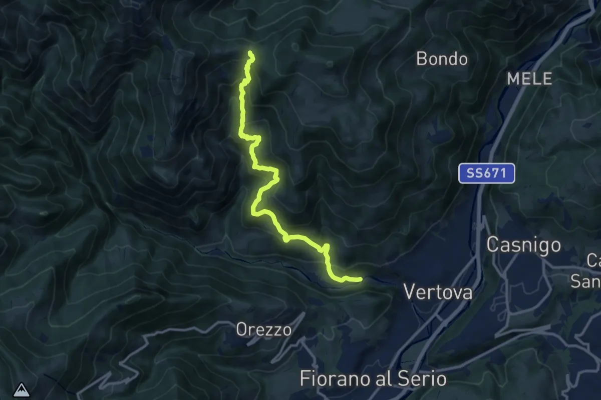
Demanding · Trail
Vertova – Dasla
10.8 km · ↑ 953 m · 4 h 36 min · 9 km away
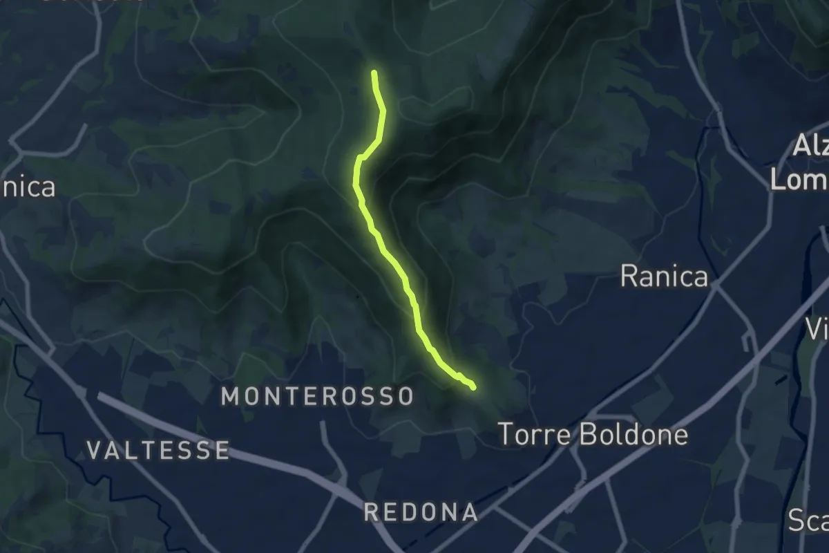
Medium · Trail
Calvarola (Bergamo) – Croce dei Morti (Ponteranica)
5.2 km · ↑ 329 m · 1 h 57 min · 9 km away
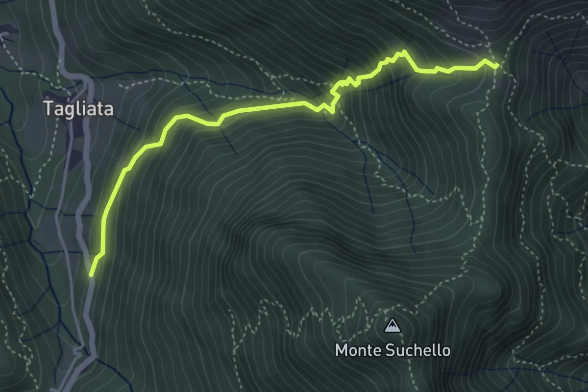
Medium · Trail
Costa di Serina – Passo Barbata (incrocio 525)
4.3 km · ↑ 508 m · 2 h 8 min · 9 km away
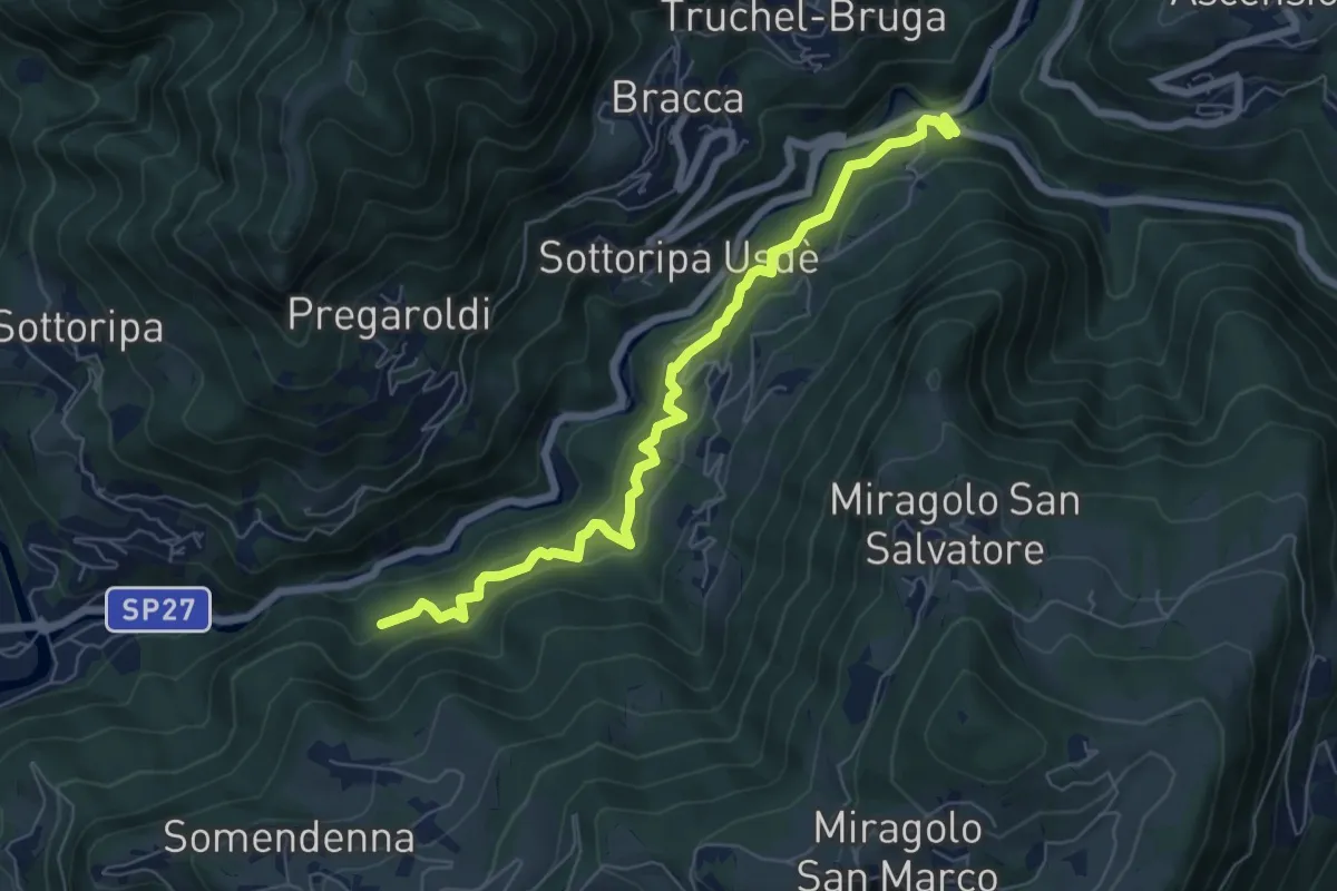
Medium · Trail
Strada Birocciabile
7.0 km · ↑ 440 m · 2 h 36 min · 9 km away