Trails near Albino
255 hikes starting within 15 km, nearest first.
Nearest first, page 3 of 6
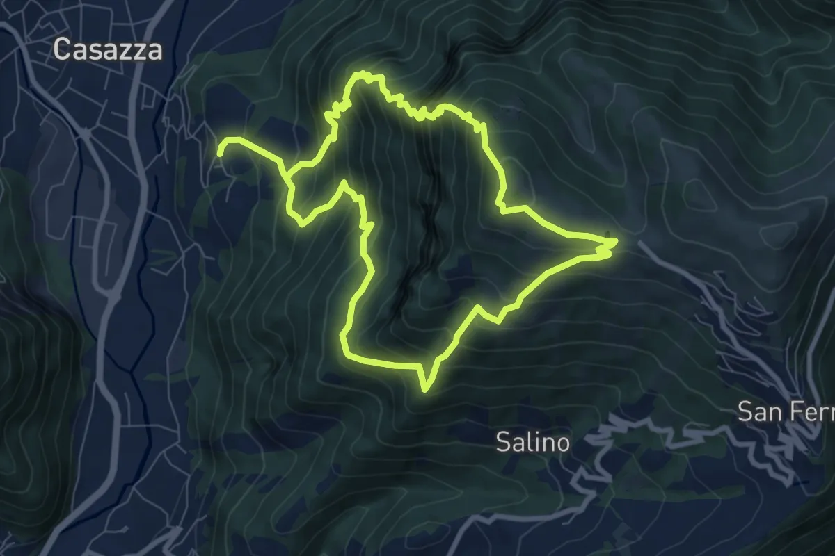
Demanding · Summit
Colognola (Casazza) – Colognola (Casazza)
7.6 km · ↑ 865 m · 3 h 44 min · 9 km away
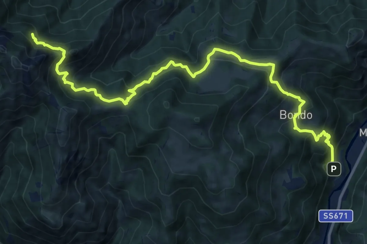
Expert · Cabin
Colzate – Bivacco La Plana
17.4 km · ↑ 1575 m · 7 h 31 min · 9 km away
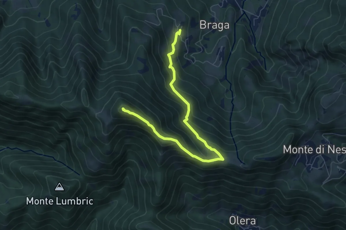
Medium · Summit
Cler (Sedrina) – Ripa (Poscante)
7.8 km · ↑ 573 m · 3 h 4 min · 9 km away
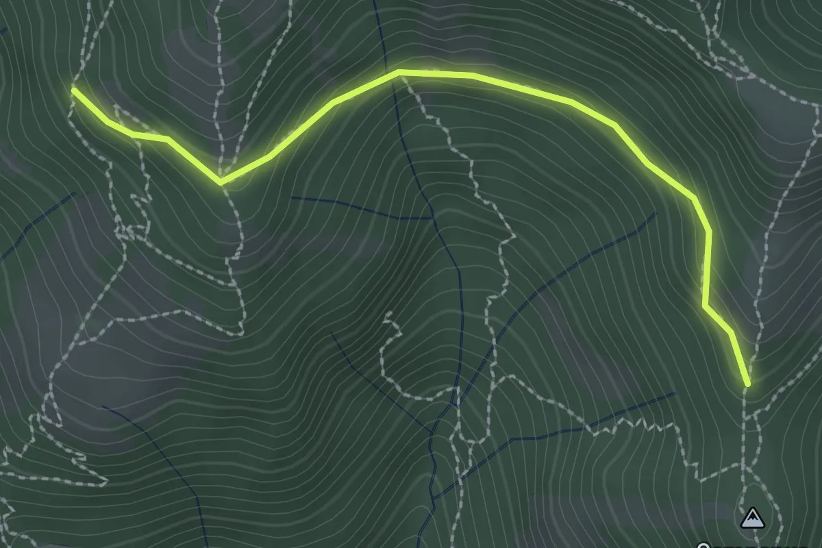
Medium · Trail
La Senna – Campanua
2.5 km · ↑ 151 m · 55 min · 9 km away
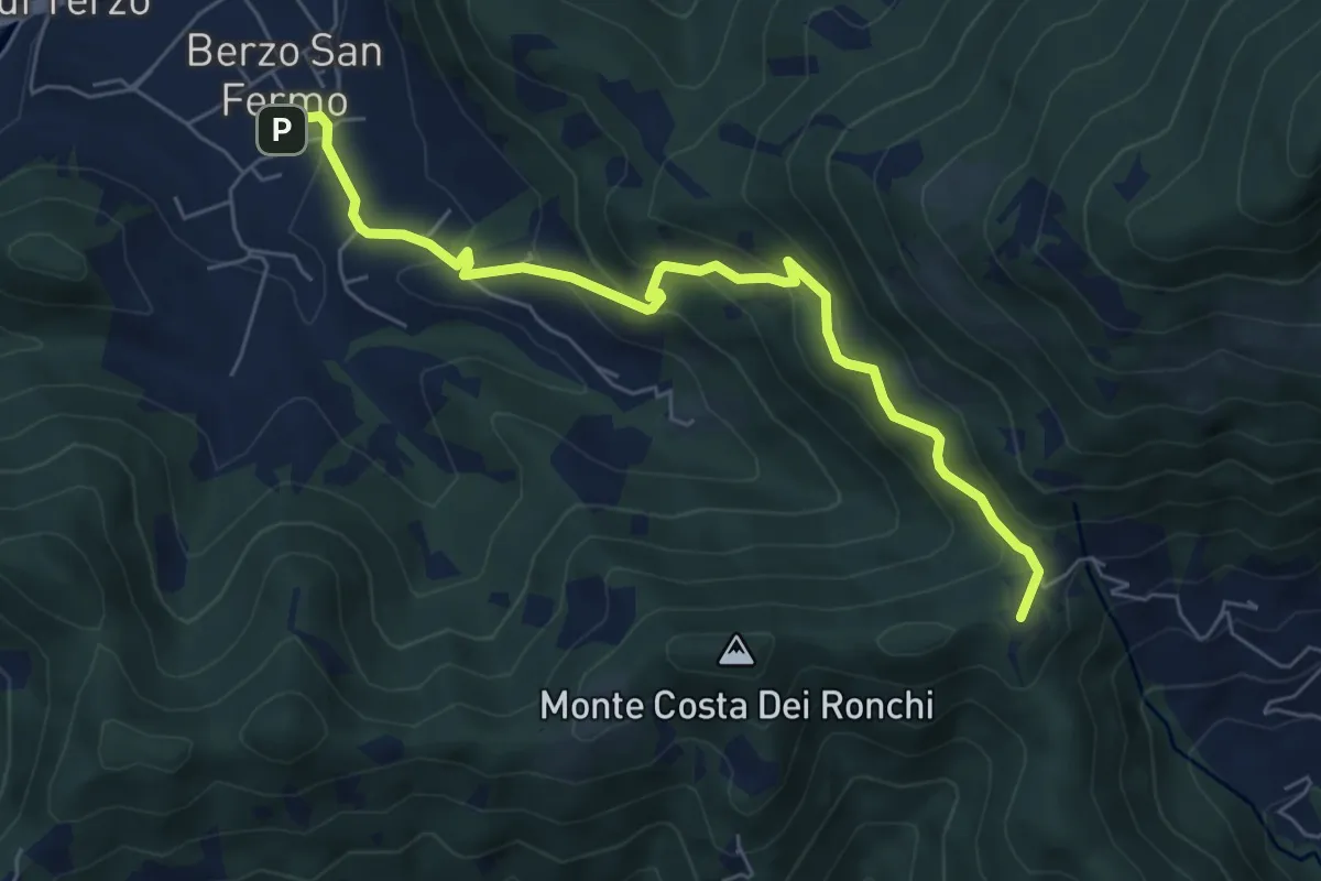
Medium · Summit
Berzo San Fermo – Col Croce
6.6 km · ↑ 444 m · 2 h 31 min · 10 km away
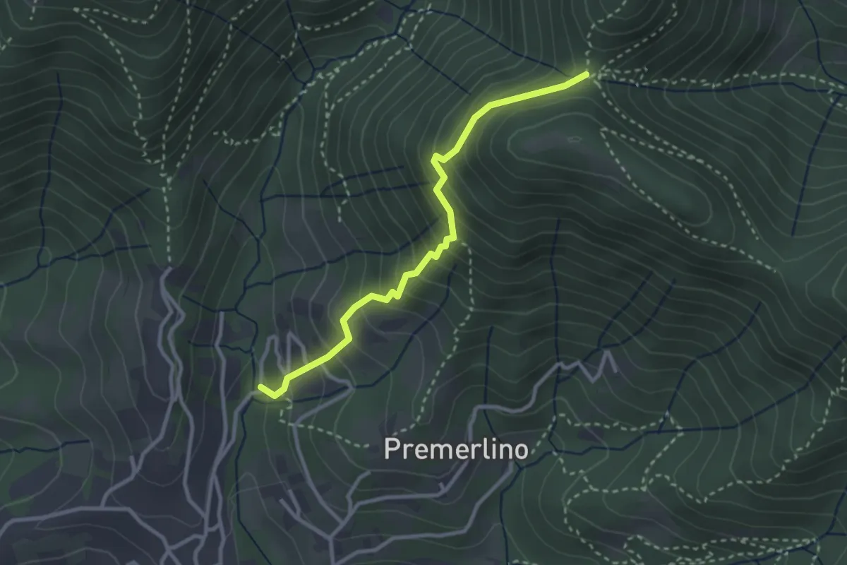
Medium · Trail
Catene (Sorisole) – Forcella del Sorriso
2.9 km · ↑ 309 m · 1 h 21 min · 10 km away
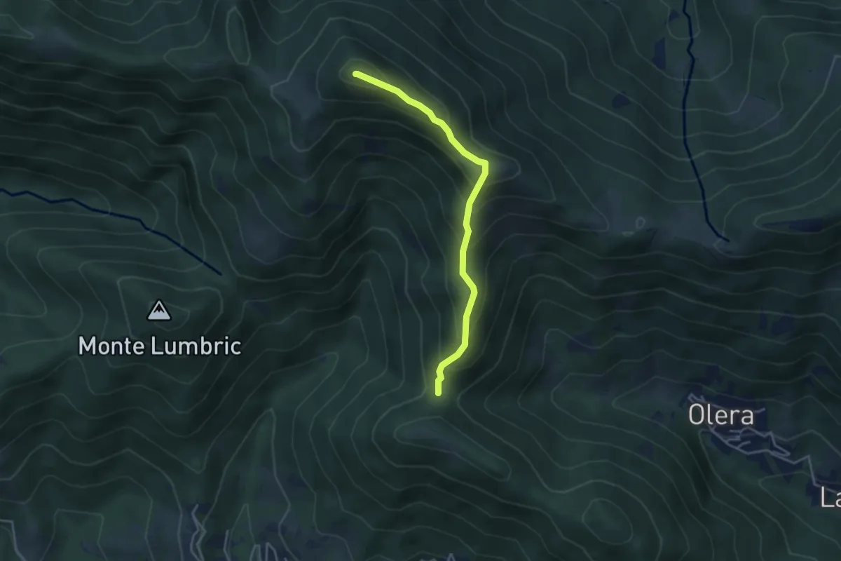
Medium · Summit
Forcella del Sorriso – Monte Canto Alto
3.6 km · ↑ 370 m · 1 h 39 min · 10 km away
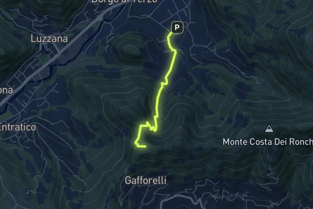
Medium · Summit
Berzo San Fermo – Il Casino
4.8 km · ↑ 328 m · 1 h 51 min · 10 km away
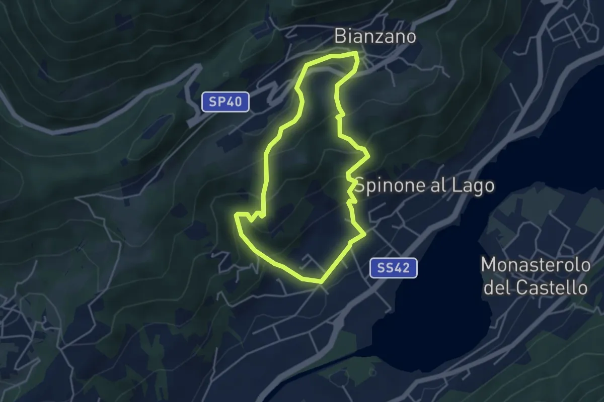
Easy · Trail
Spinone al Lago – Spinone al Lago
3.5 km · ↑ 261 m · 1 h 27 min · 10 km away
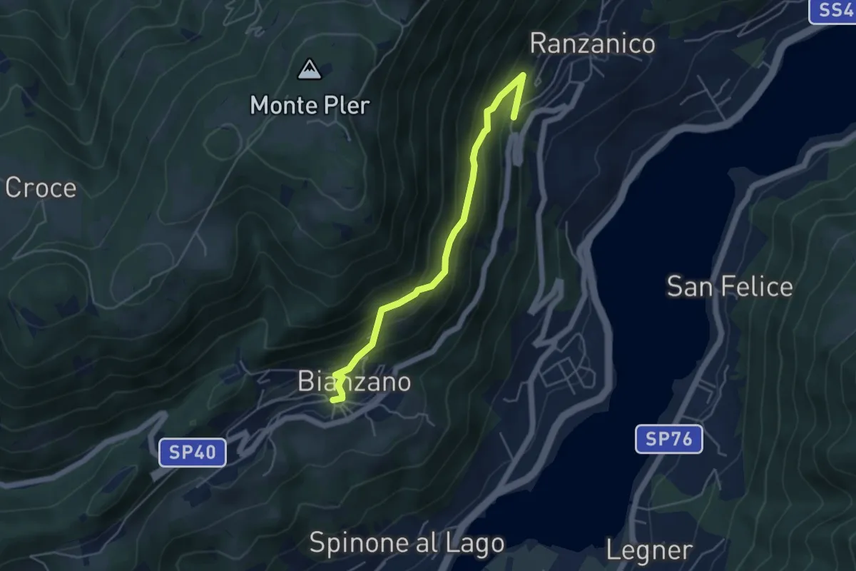
Medium · Trail
Ranzanico – Bianzano
4.5 km · ↑ 374 m · 1 h 52 min · 10 km away
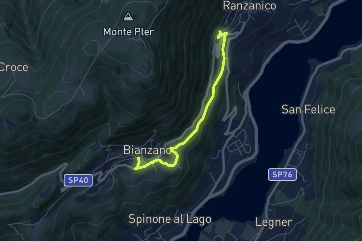
Easy · Trail
Bianzano – Ranzanico
5.3 km · ↑ 270 m · 1 h 50 min · 10 km away
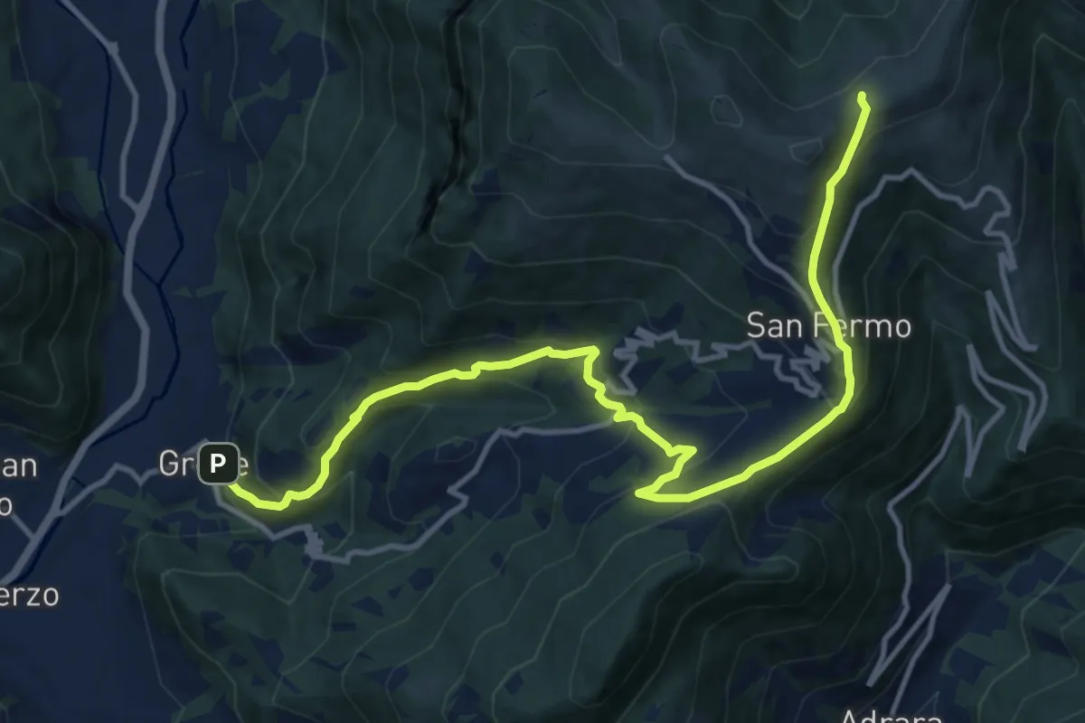
Demanding · Trail
Grone – Foppelle
14.1 km · ↑ 944 m · 5 h 22 min · 10 km away
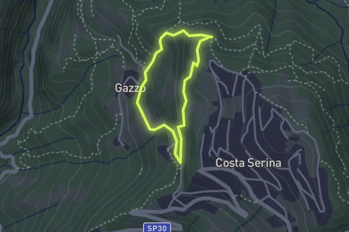
Medium · Trail
Sentiero Bianco
1.9 km · ↑ 122 m · 45 min · 10 km away
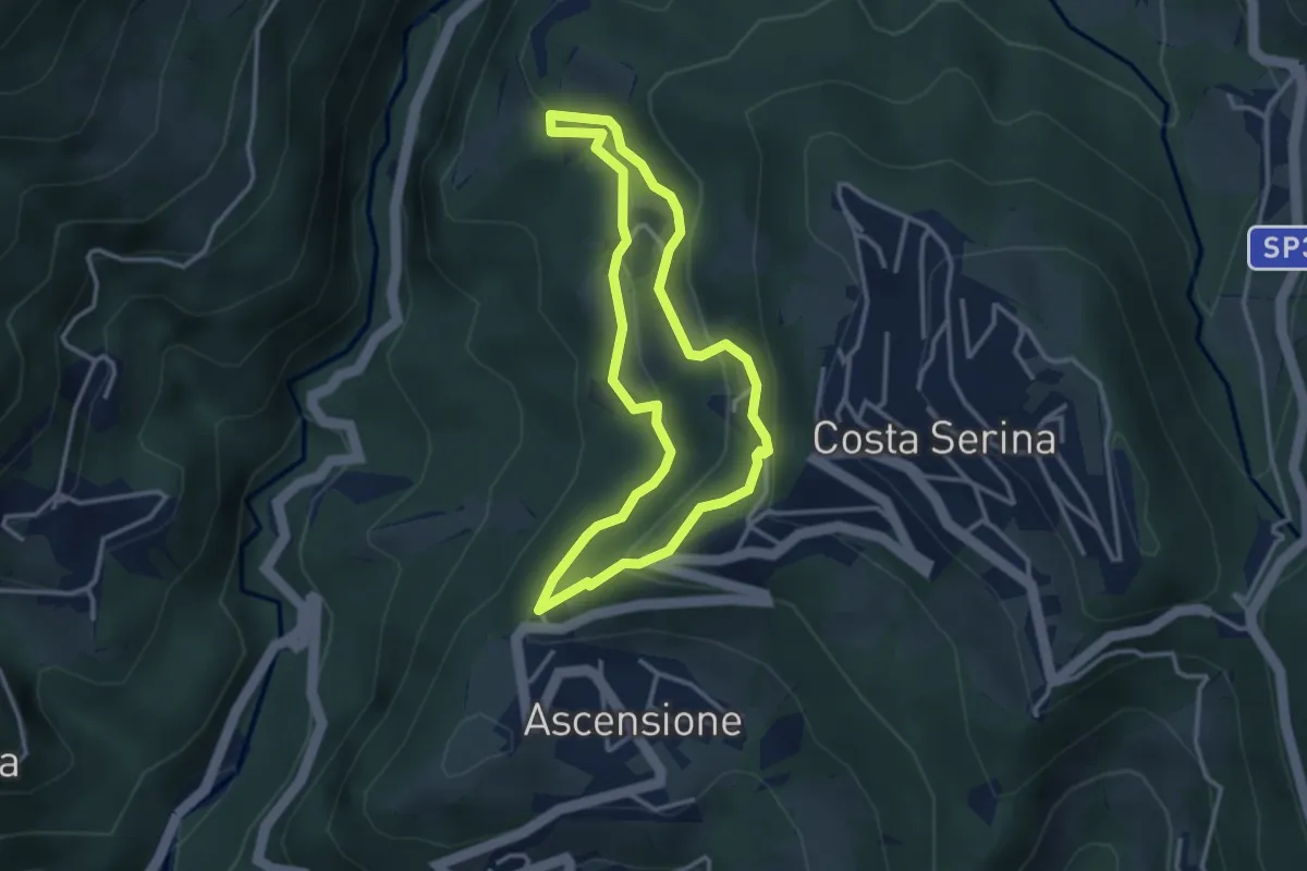
Medium · Trail
Sentiero Giallo
3.1 km · ↑ 159 m · 1 h 7 min · 10 km away
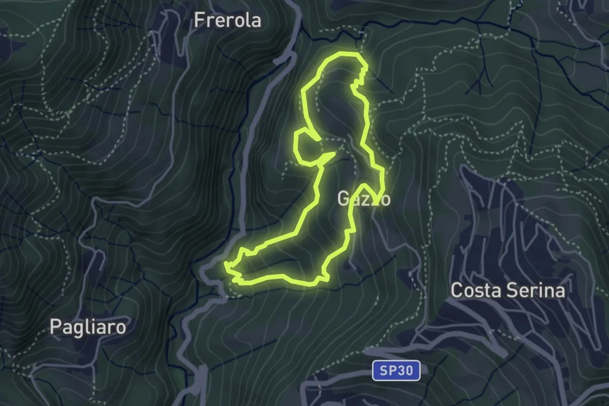
Medium · Trail
Sentiero Arancio
3.7 km · ↑ 280 m · 1 h 31 min · 10 km away
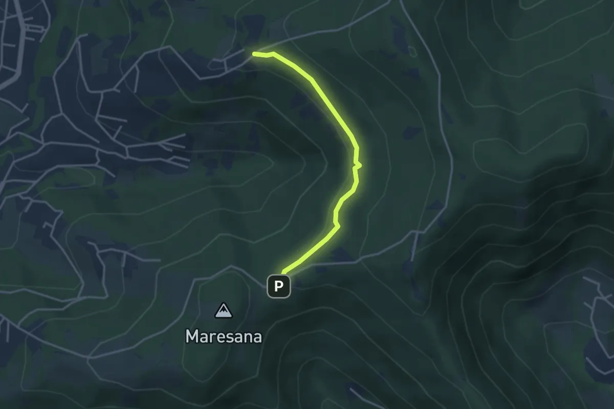
Easy · Trail
Maresana (Ponteranica) – Castello della Moretta (Ponteranica)
3.0 km · ↑ 63 m · 51 min · 10 km away
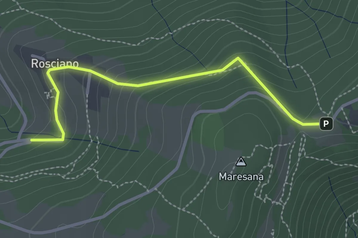
Easy · Trail
Rosciano (Ponteranica) – Maresana (Ponteranica)
2.6 km · ↑ 147 m · 55 min · 10 km away
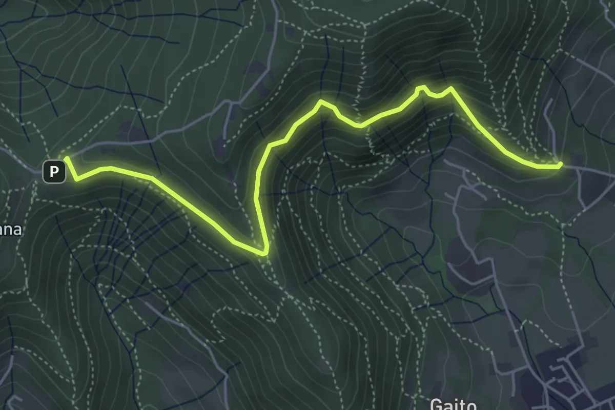
Medium · Trail
San Rocco (Ranica) – Maresana (Ponteranica)
5.4 km · ↑ 332 m · 2 h · 10 km away
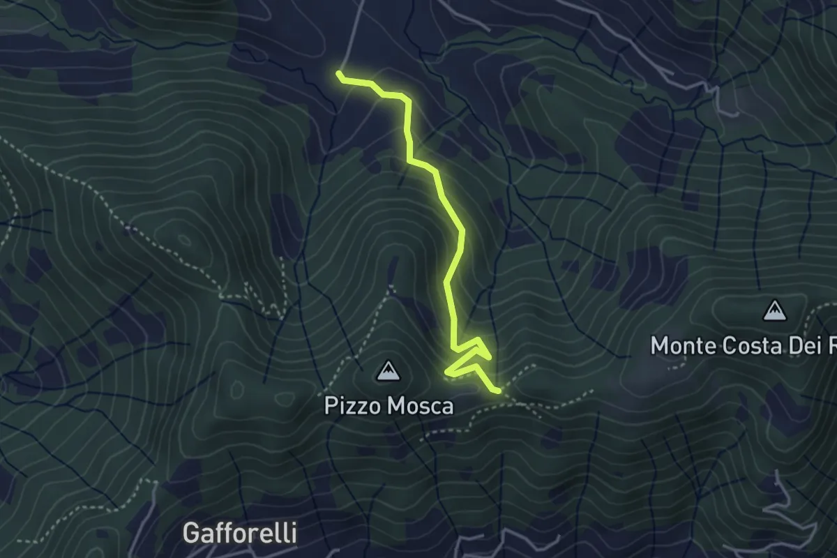
Medium · Trail
Cascina Barberino – Pizzo Mosca (Foresto Sparso)
3.2 km · ↑ 313 m · 1 h 26 min · 10 km away
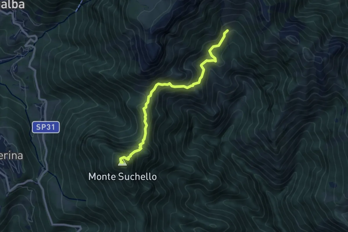
Medium · Summit
Aviatico – Sedernello
6.5 km · ↑ 548 m · 2 h 44 min · 10 km away
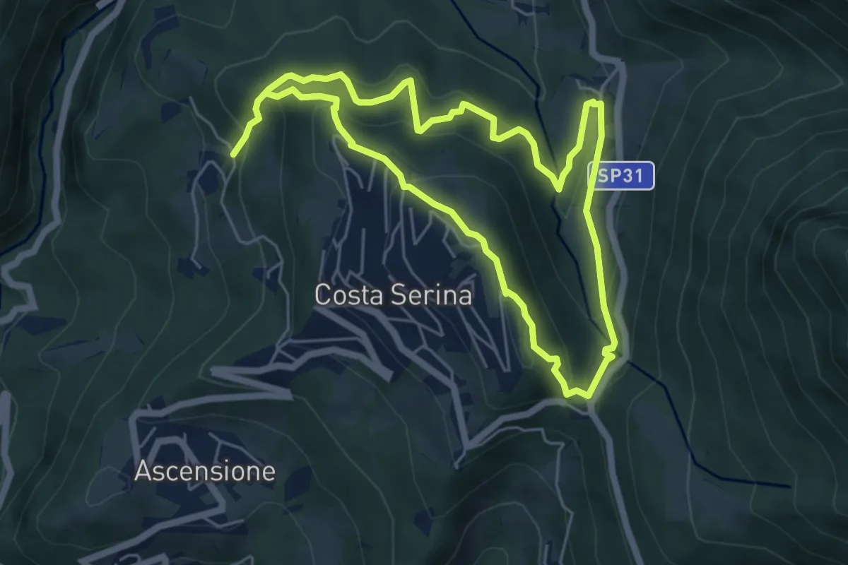
Medium · Trail
Sentiero Verde
4.9 km · ↑ 329 m · 1 h 58 min · 10 km away
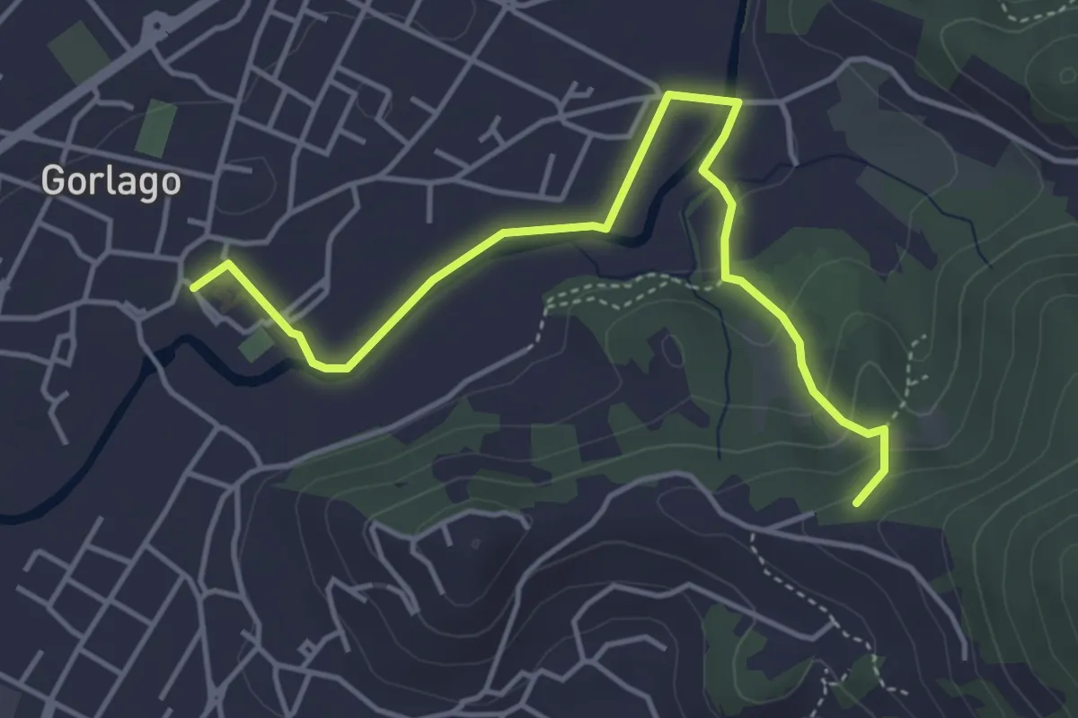
Easy · Trail
Gorlago – Incrocio 650
4.7 km · ↑ 115 m · 1 h 22 min · 10 km away
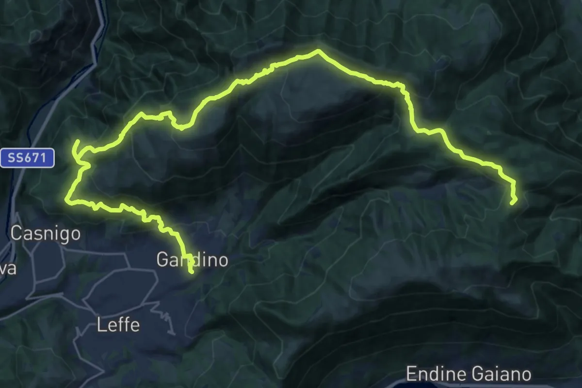
Demanding · Summit
Alta Via delle Grazie - Tappa 11
33.8 km · ↑ 1827 m · 11 h 57 min · 10 km away
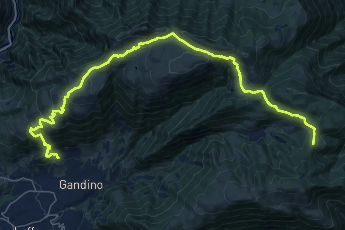
Demanding · Summit
Barzizza di Gandino – Monte di Sovere
25.5 km · ↑ 1497 m · 9 h 16 min · 10 km away
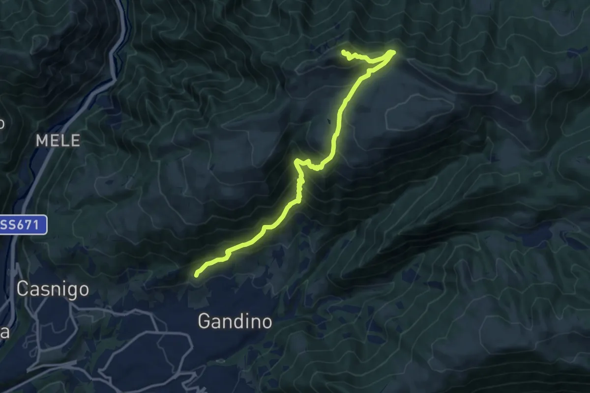
Demanding · Summit
Barzizza – Pizzo Formico
13.0 km · ↑ 1024 m · 5 h 18 min · 10 km away
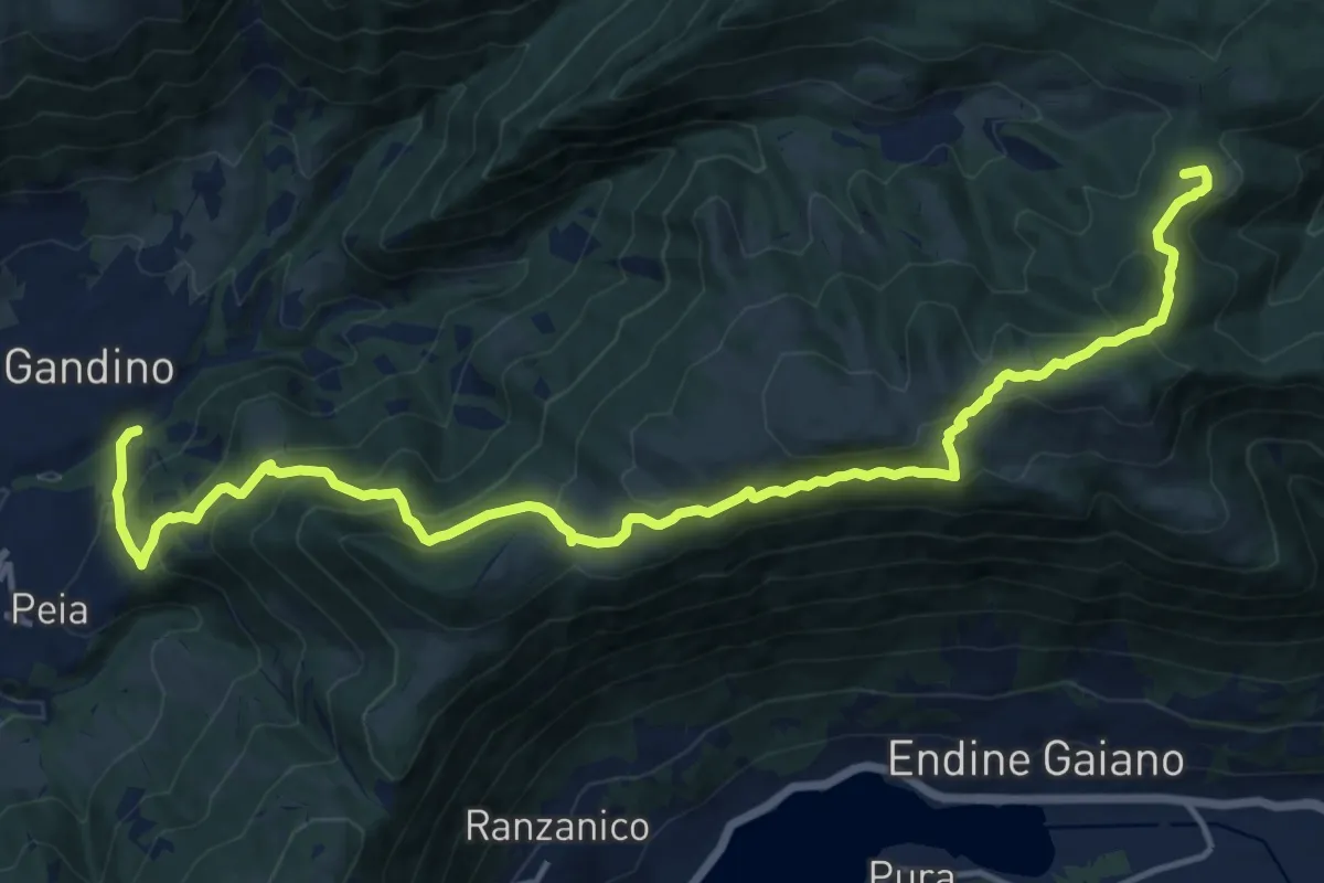
Demanding · Summit
Gandino – Monte di Sovere
17.9 km · ↑ 1135 m · 6 h 41 min · 10 km away
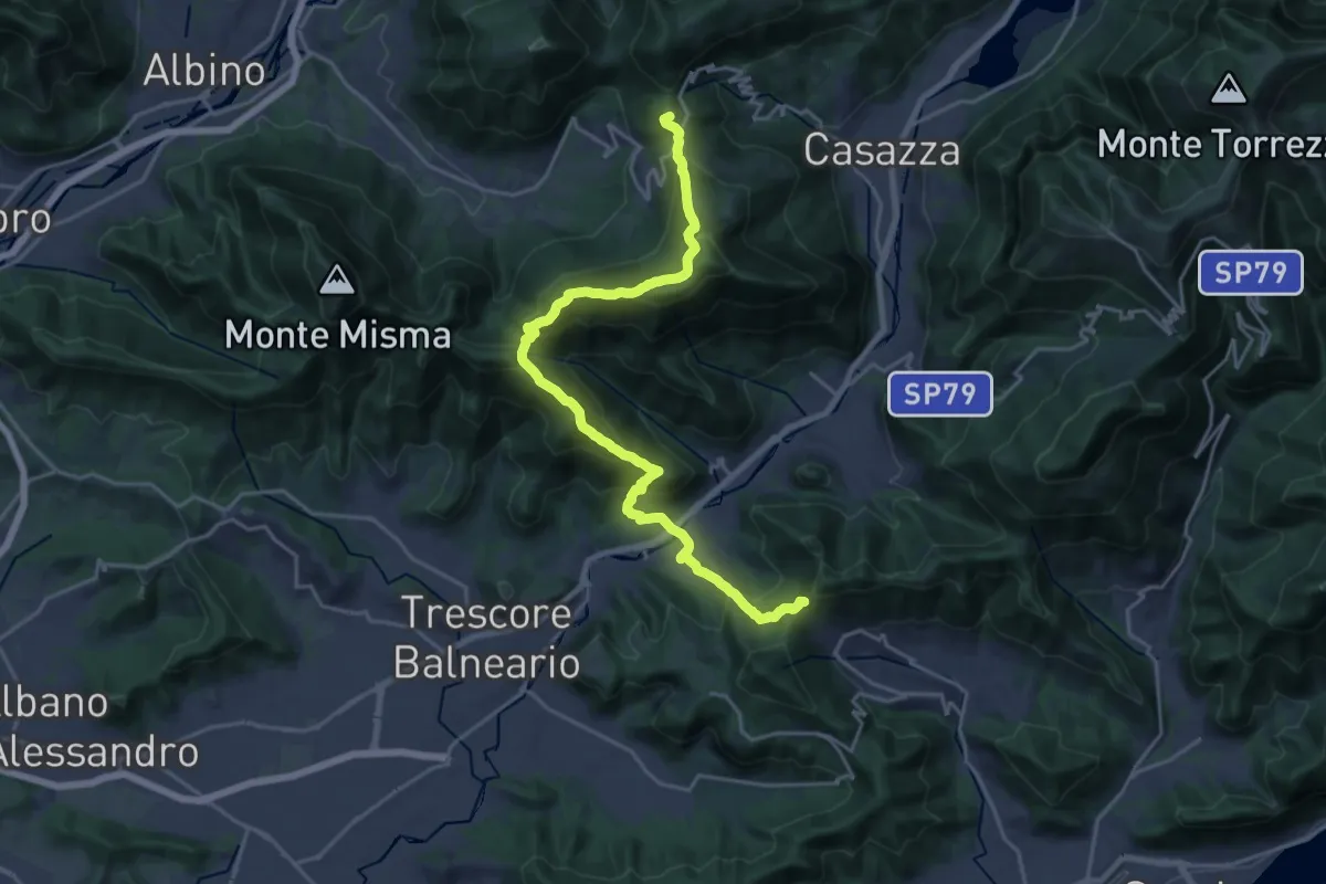
Demanding · Summit
Sentiero Flavio Tasca - Tappa 8
22.8 km · ↑ 1433 m · 8 h 29 min · 10 km away
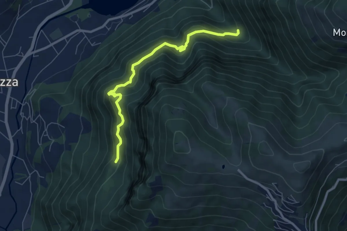
Medium · Trail
Cummia (Colognola di Casazza) – Fontanello
6.4 km · ↑ 498 m · 2 h 36 min · 10 km away
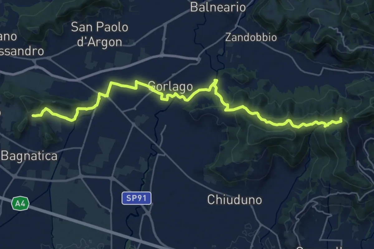
Medium · Summit
La Via delle Sorelle - Tappa 4
11.1 km · ↑ 373 m · 3 h 28 min · 10 km away
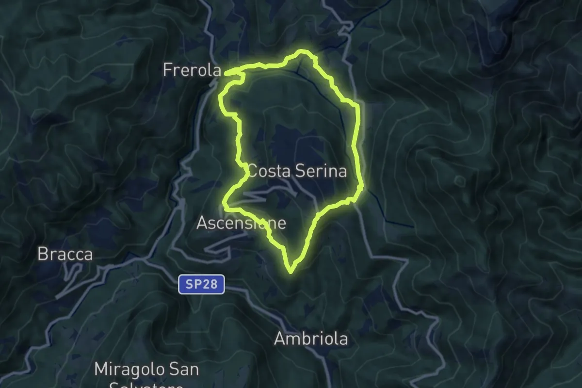
Medium · Trail
Sentiero Blu
7.8 km · ↑ 358 m · 2 h 44 min · 10 km away
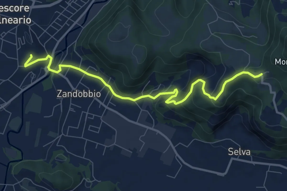
Medium · Trail
Trescore Balneario – Buca del Corno
8.6 km · ↑ 380 m · 2 h 52 min · 10 km away
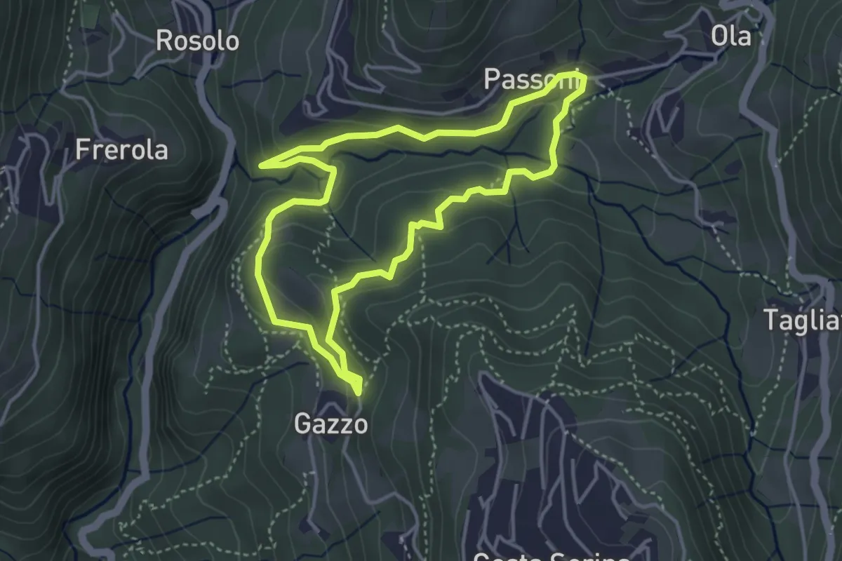
Medium · Trail
Sentiero Azzurro
3.6 km · ↑ 138 m · 1 h 12 min · 10 km away
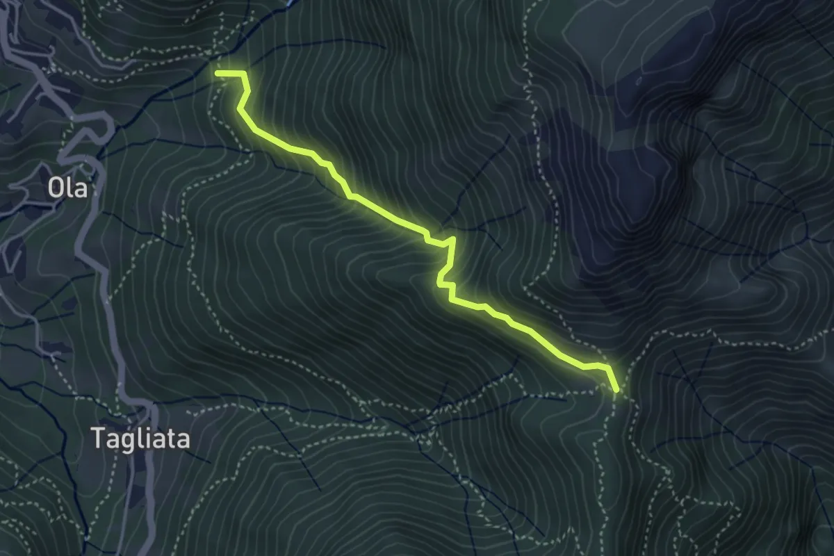
Medium · Trail
Incrocio H41 – Passo Barbata
3.8 km · ↑ 473 m · 1 h 56 min · 10 km away
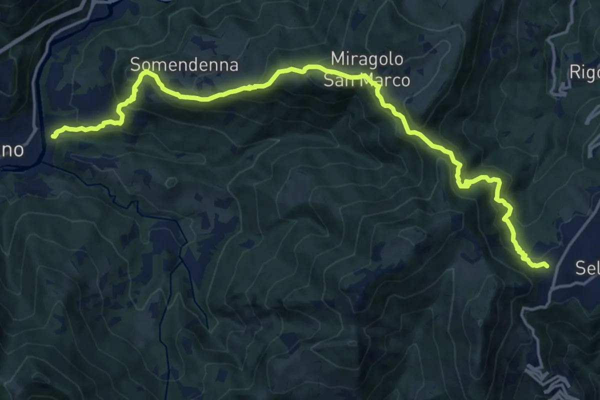
Demanding · Trail
Selvino – Zogno
16.8 km · ↑ 1152 m · 6 h 28 min · 10 km away
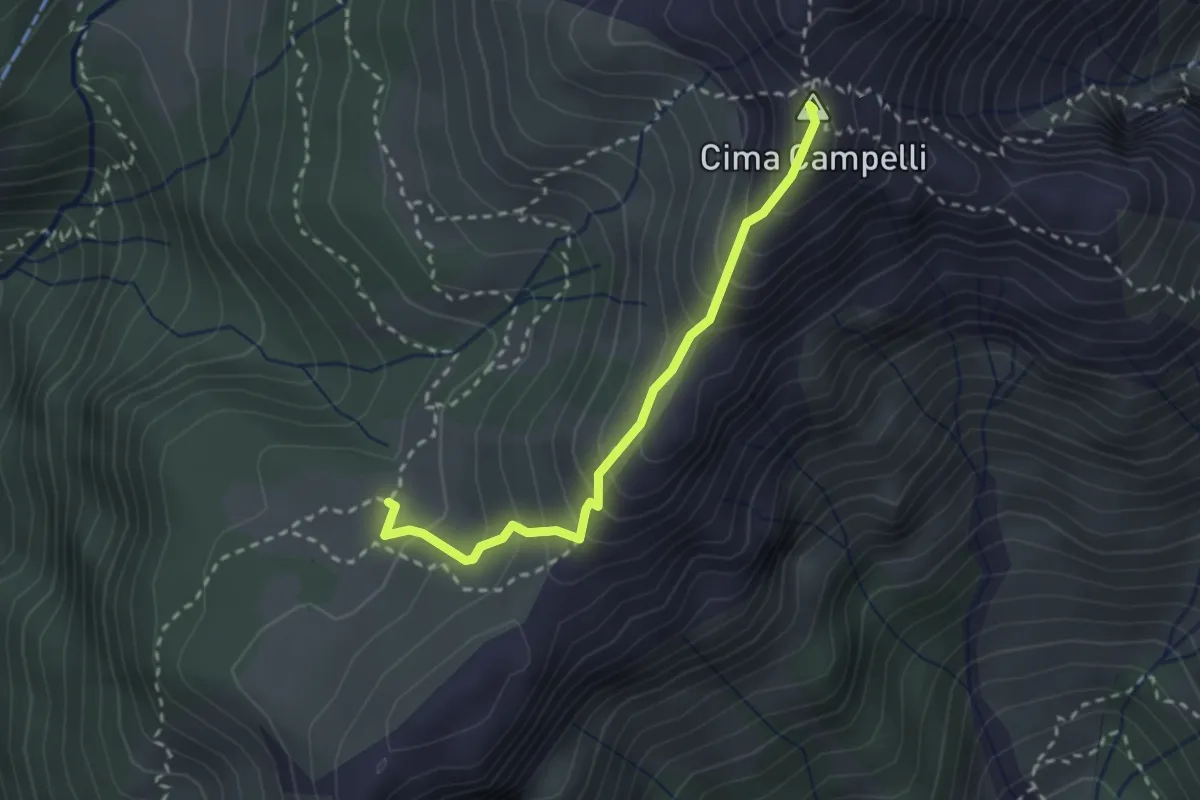
Demanding · Summit
Incrocio 525 – Incrocio 530
2.5 km · ↑ 274 m · 1 h 11 min · 10 km away
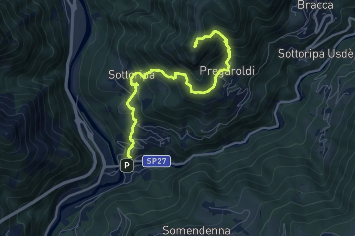
Medium · Summit
Ambria – Pizzo di Spino
7.5 km · ↑ 700 m · 3 h 17 min · 10 km away
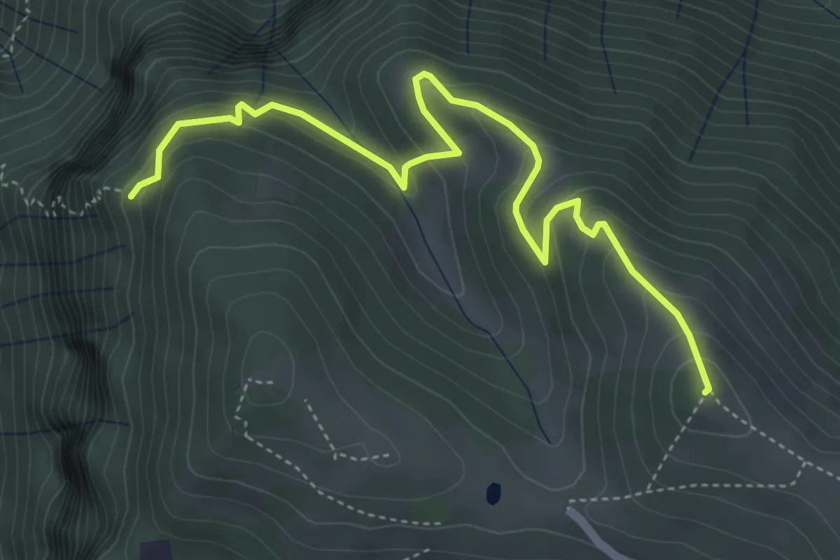
Medium · Summit
Colle di Caf – Foppalupo (Colli di San Fermo)
5.2 km · ↑ 372 m · 2 h 2 min · 10 km away
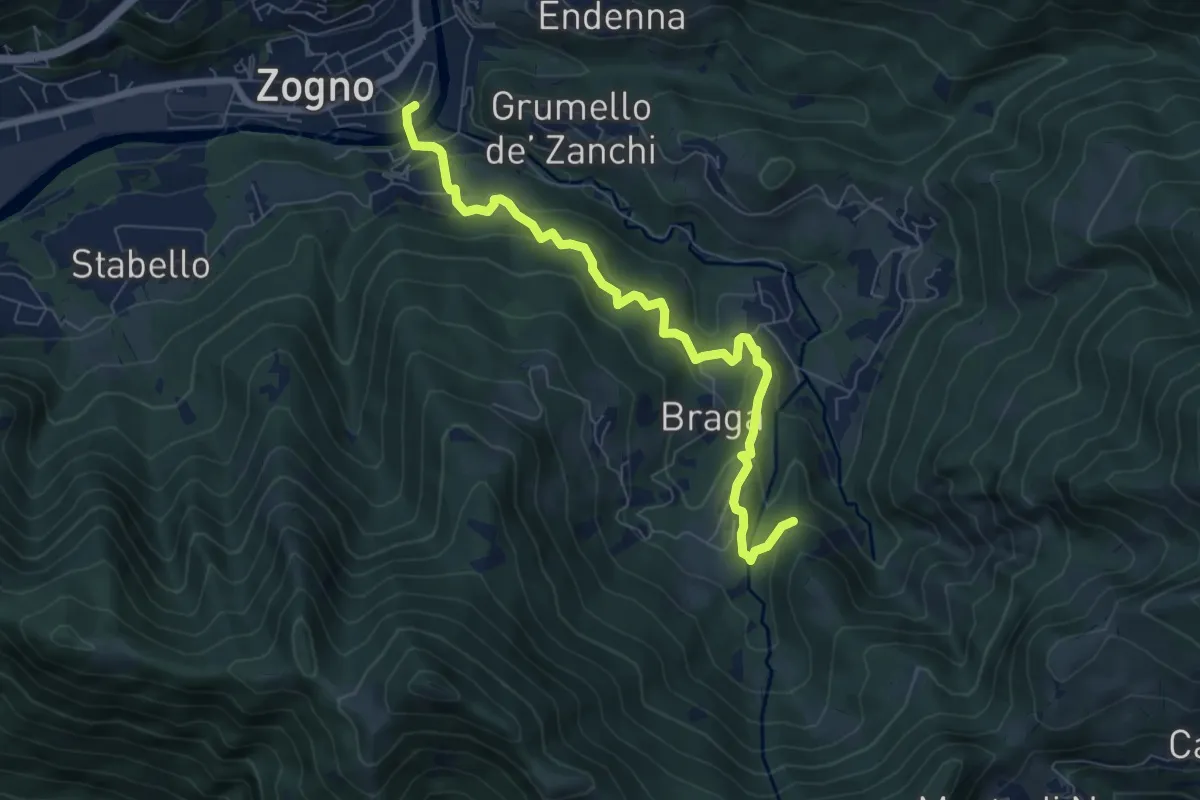
Medium · Trail
La via delle Castagne
7.6 km · ↑ 390 m · 2 h 38 min · 11 km away
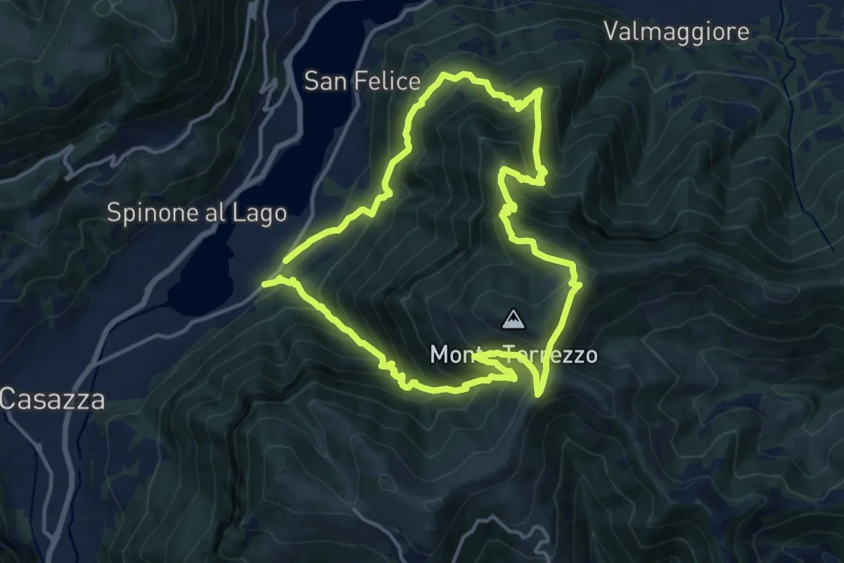
Demanding · Summit
Monasterolo del Castello – Monasterolo del Castello
12.8 km · ↑ 1048 m · 5 h 28 min · 11 km away
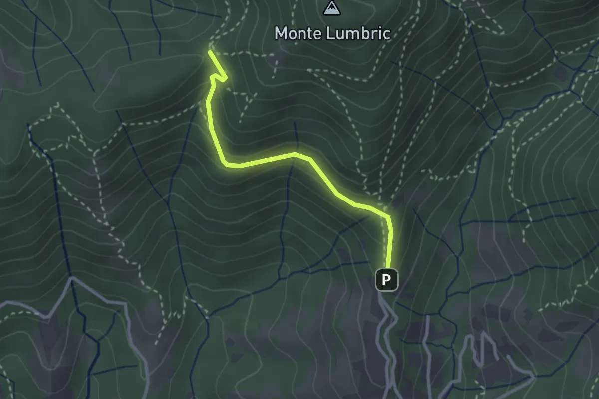
Easy · Trail
Pisgiu (Sorisole) – Forcella di Rua (Sorisole)
2.4 km · ↑ 157 m · 54 min · 11 km away
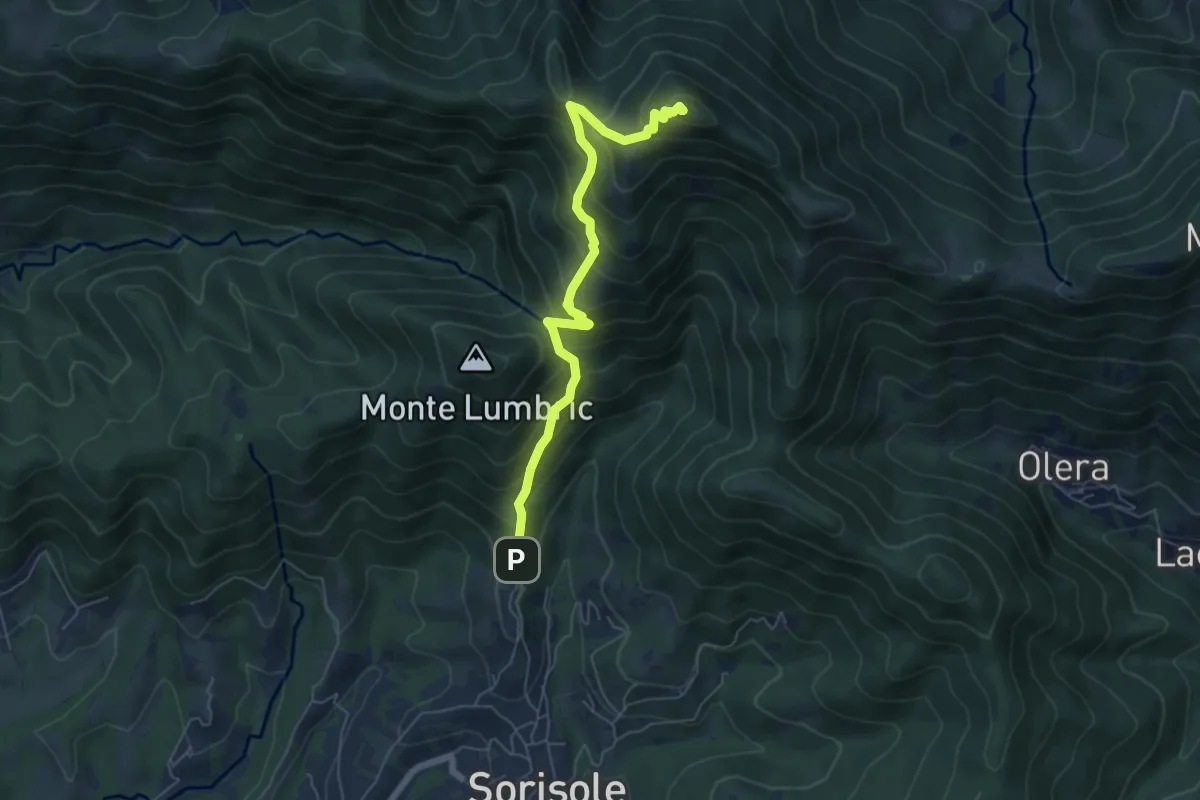
Demanding · Summit
Pisgiu – Monte Canto Alto
6.1 km · ↑ 609 m · 2 h 46 min · 11 km away
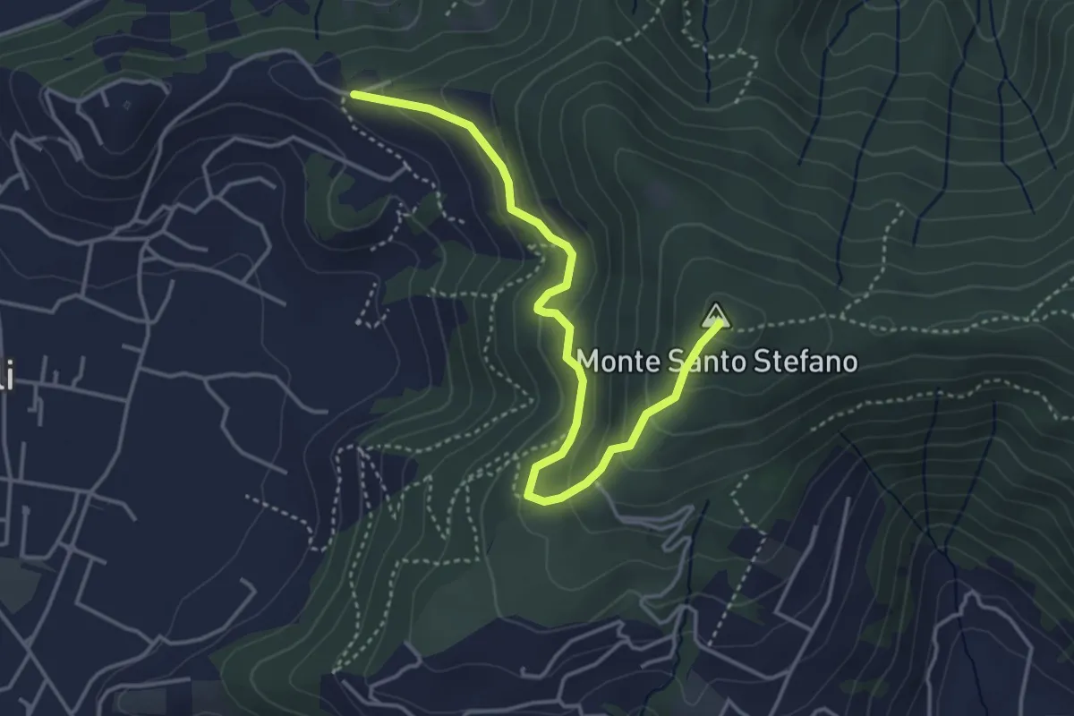
Medium · Summit
Duria – Boca di senter
4.3 km · ↑ 266 m · 1 h 35 min · 11 km away
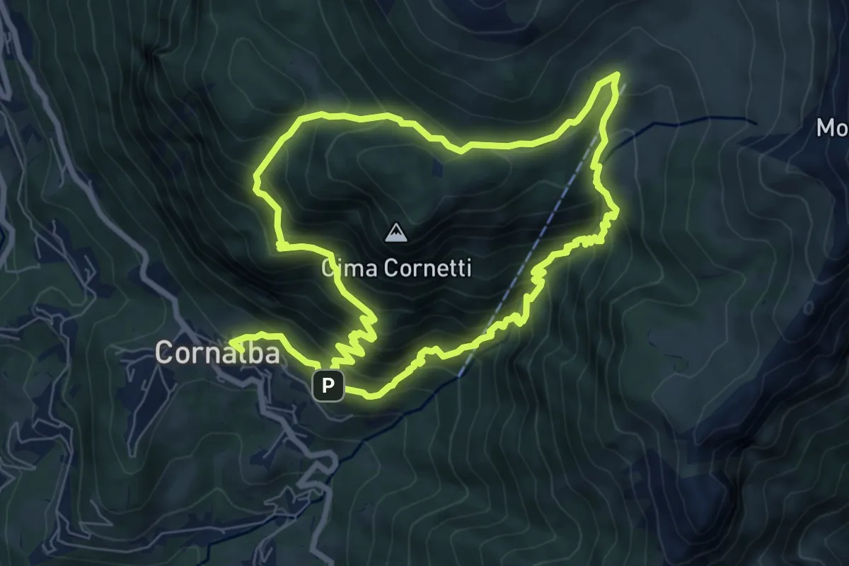
Medium · Trail
Cornalba – Cornalba
7.5 km · ↑ 759 m · 3 h 32 min · 11 km away
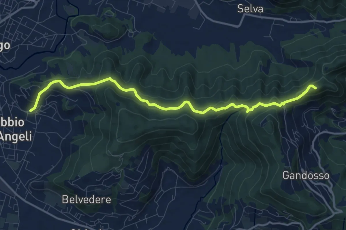
Medium · Summit
Carobbio degli Angeli – San Giovanni delle Formiche
10.6 km · ↑ 442 m · 3 h 27 min · 11 km away
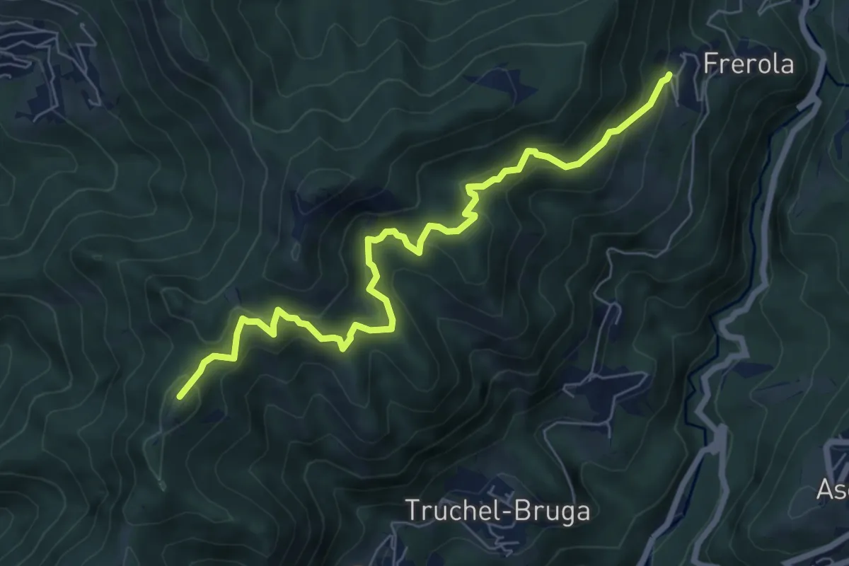
Medium · Summit
Frerola (Algua) – Bracca
7.2 km · ↑ 567 m · 2 h 56 min · 11 km away
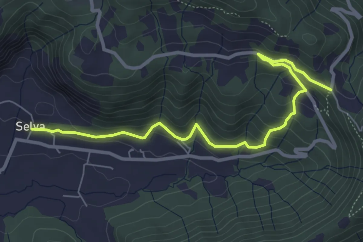
Medium · Trail
Selva – Colle San Giovanni
6.1 km · ↑ 362 m · 2 h 14 min · 11 km away
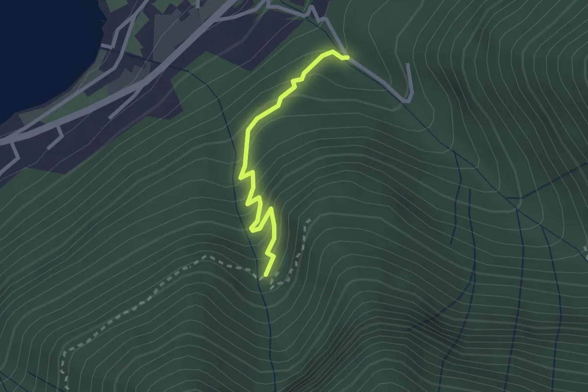
Easy · Trail
Monasterolo del Castello – Val Spirola
2.1 km · ↑ 224 m · 59 min · 11 km away
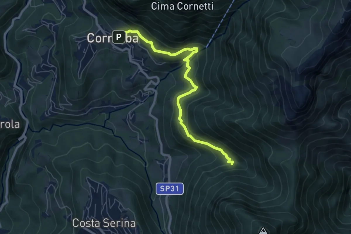
Medium · Trail
Cornalba – Incrocio 519B
6.4 km · ↑ 430 m · 2 h 26 min · 11 km away