Trails near Albino
255 hikes starting within 15 km, nearest first.
Nearest first, page 4 of 6
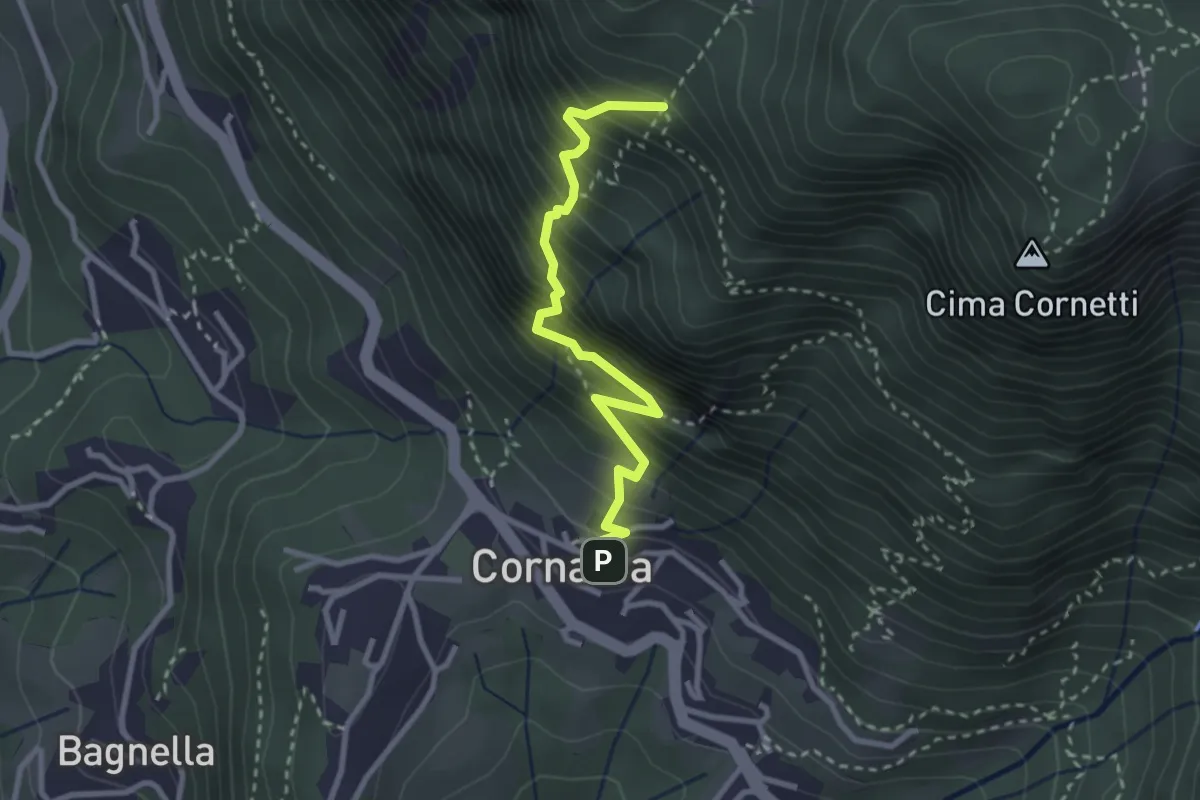
Demanding · Trail
Cornalba – Falesia Corna Bianca
2.9 km · ↑ 526 m · 1 h 49 min · 11 km away
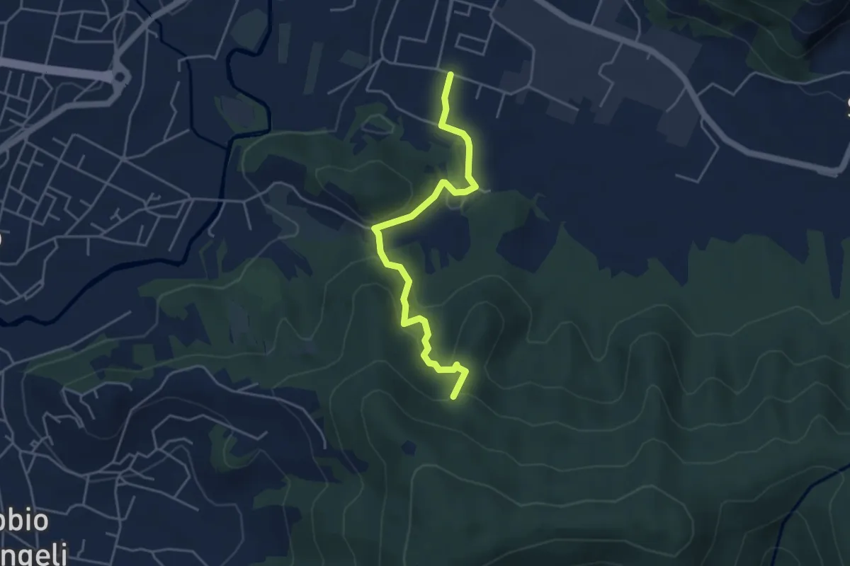
Easy · Trail
Zandobbio – Incrocio 650
4.4 km · ↑ 193 m · 1 h 27 min · 11 km away
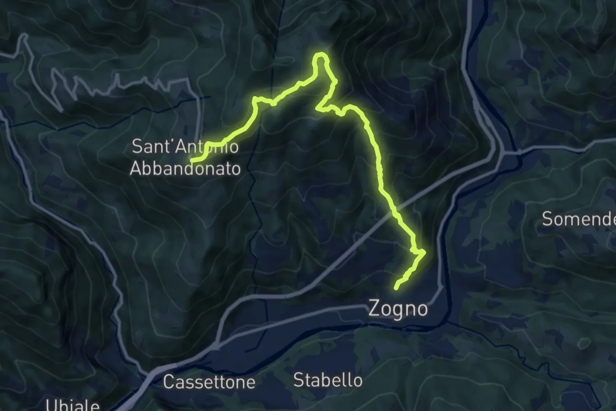
Demanding · Trail
Zogno – S. Antonio Abbandonato
11.8 km · ↑ 1031 m · 5 h 1 min · 11 km away
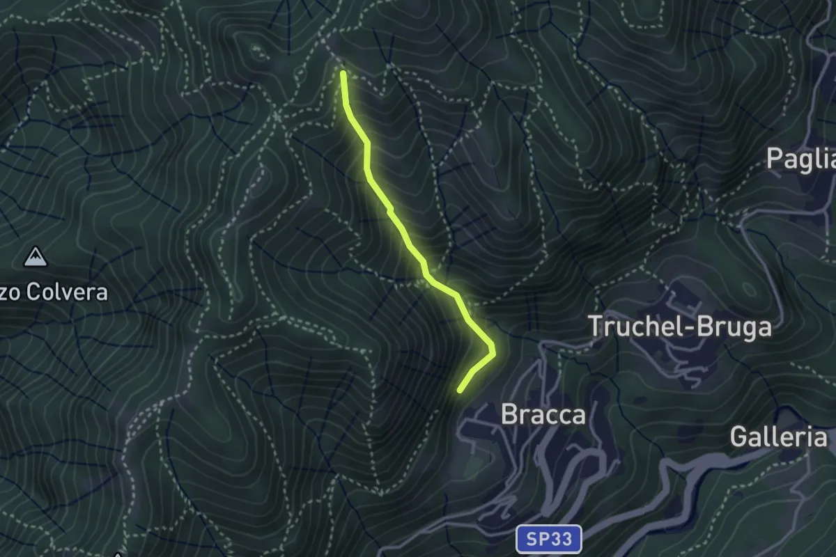
Medium · Trail
Incrocio 597 – Incrocio 597
2.4 km · ↑ 348 m · 1 h 19 min · 11 km away
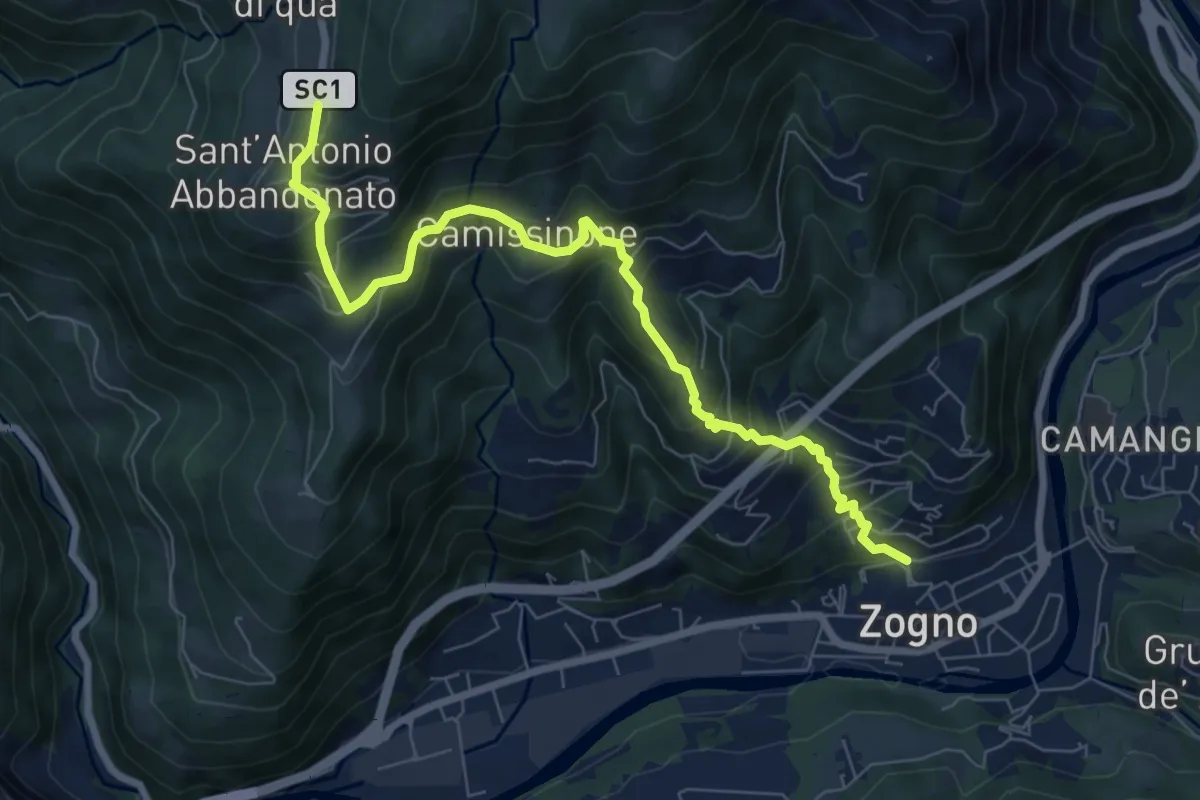
Medium · Trail
Zogno – Castignola
8.2 km · ↑ 688 m · 3 h 25 min · 11 km away
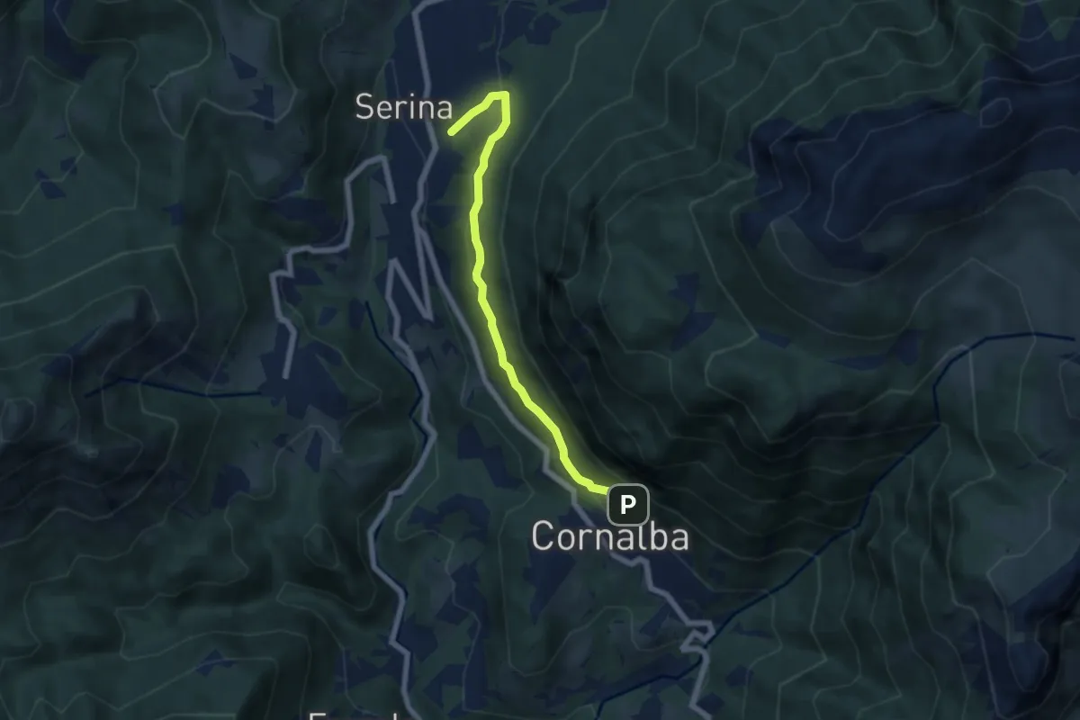
Medium · Trail
Variante Mercatorum
5.8 km · ↑ 297 m · 2 h 1 min · 11 km away
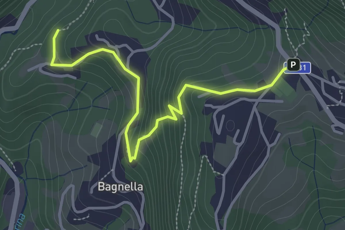
Easy · Trail
Rosolo – Cornalba
3.3 km · ↑ 235 m · 1 h 17 min · 11 km away
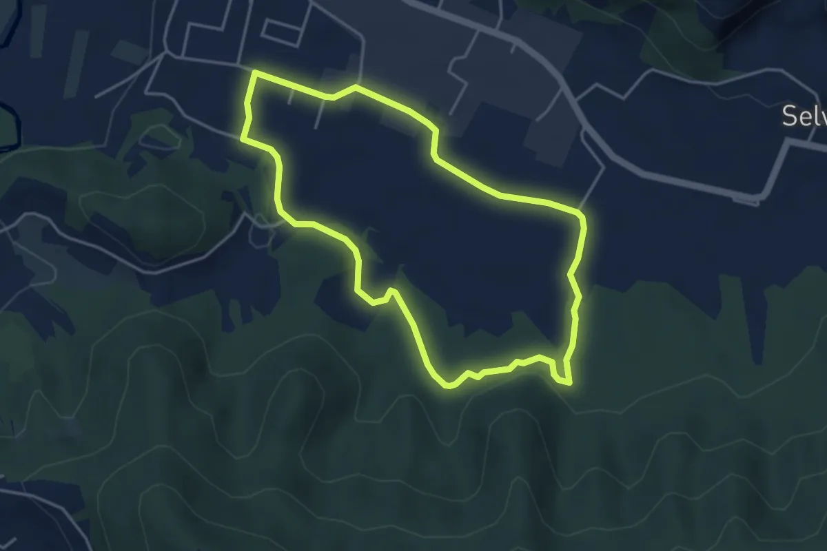
Easy · Trail
San Giorgio (Zandobbio) – San Giorgio (Zandobbio)
3.8 km · ↑ 48 m · 1 h 3 min · 11 km away
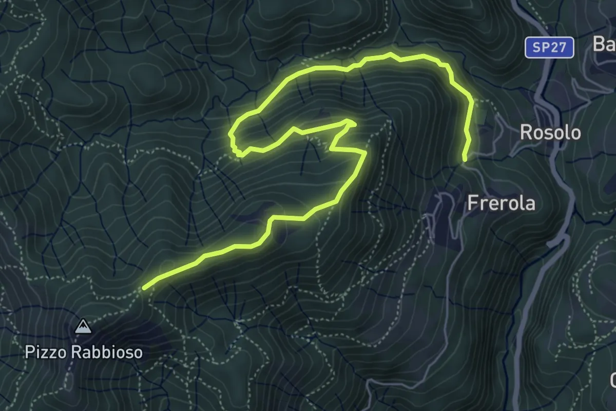
Medium · Trail
Frerola (Algua) – Pizzo Rabbioso
7.4 km · ↑ 493 m · 2 h 49 min · 11 km away
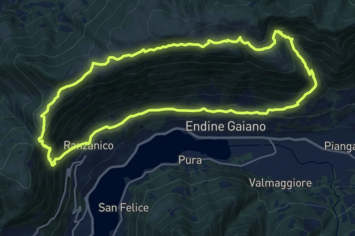
Demanding · Trail
Ranzanico – Ranzanico
14.3 km · ↑ 941 m · 5 h 37 min · 11 km away
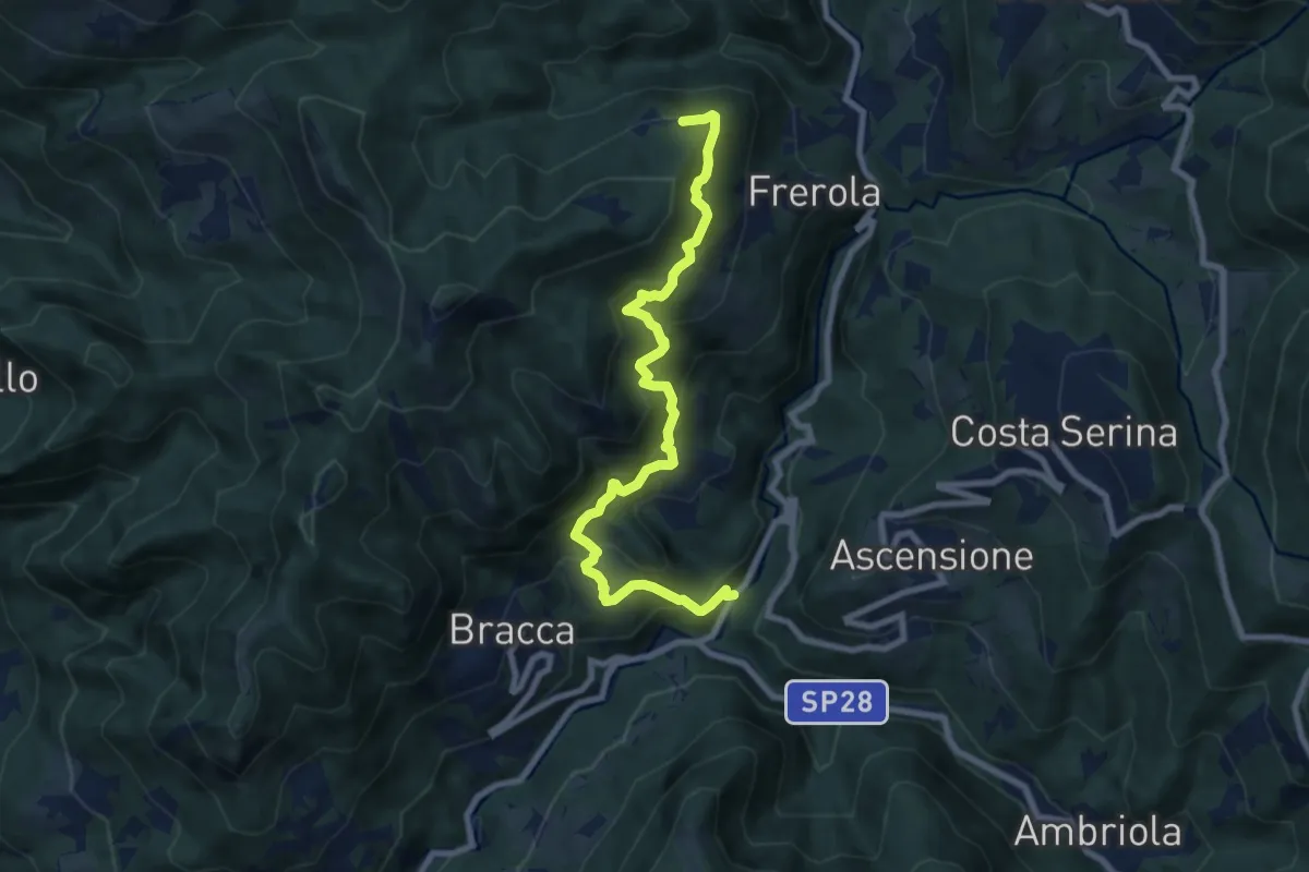
Demanding · Trail
Algua – Pradai
8.7 km · ↑ 821 m · 3 h 50 min · 11 km away
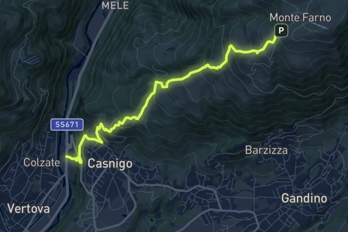
Demanding · Trail
Casnigo (SS. Trinità) – Monte Farno
10.1 km · ↑ 829 m · 4 h 10 min · 11 km away
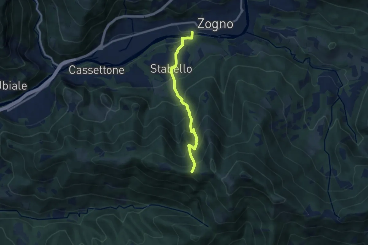
Demanding · Trail
Zogno – Casèl (incrocio 507)
6.1 km · ↑ 672 m · 2 h 54 min · 11 km away
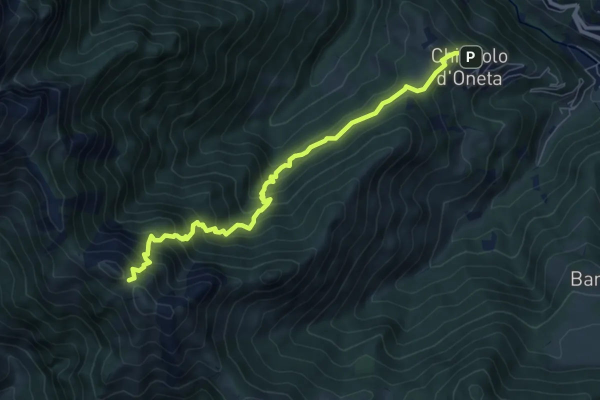
Demanding · Trail
Chignolo (Oneta) – Passo di Pradaccio
7.5 km · ↑ 811 m · 3 h 32 min · 11 km away
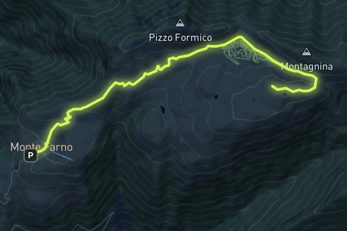
Medium · Cabin
Il percorso delle malghe
10.3 km · ↑ 395 m · 3 h 17 min · 11 km away
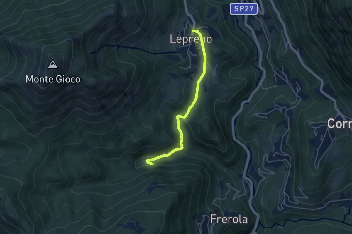
Medium · Trail
Lepreno – Incrocio 593
3.8 km · ↑ 134 m · 1 h 11 min · 12 km away
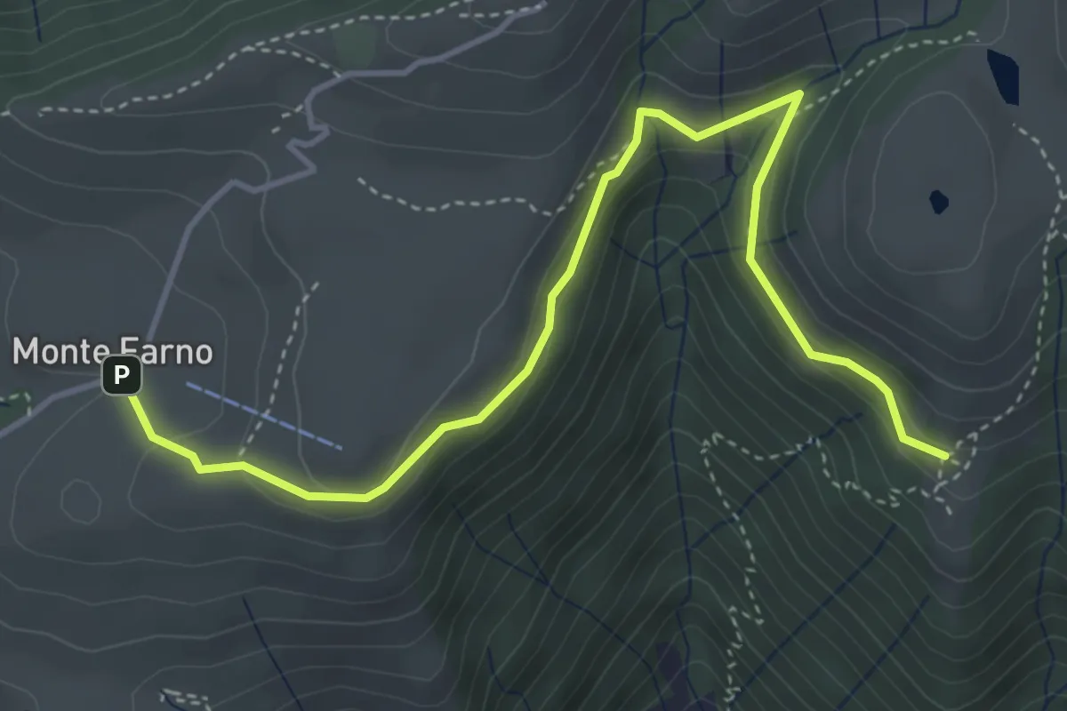
Easy · Cabin
Monte Farno – Tribulina di Guazza
4.7 km · ↑ 216 m · 1 h 35 min · 12 km away
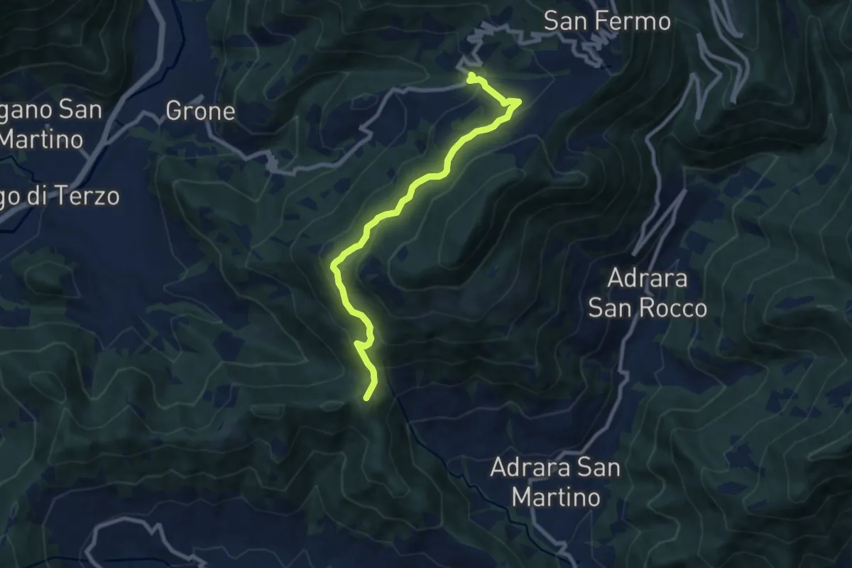
Medium · Summit
Sant'Antonio di Grone – Col Croce
8.3 km · ↑ 516 m · 3 h 4 min · 12 km away
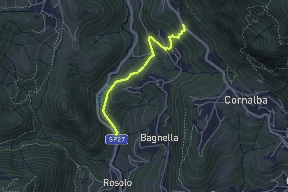
Easy · Trail
Rosolo – San Pantaleone
3.3 km · ↑ 200 m · 1 h 13 min · 12 km away
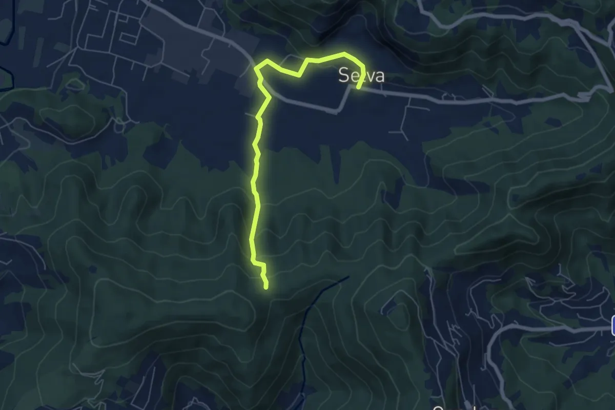
Easy · Trail
Selva – Boca di senter
5.8 km · ↑ 261 m · 1 h 56 min · 12 km away
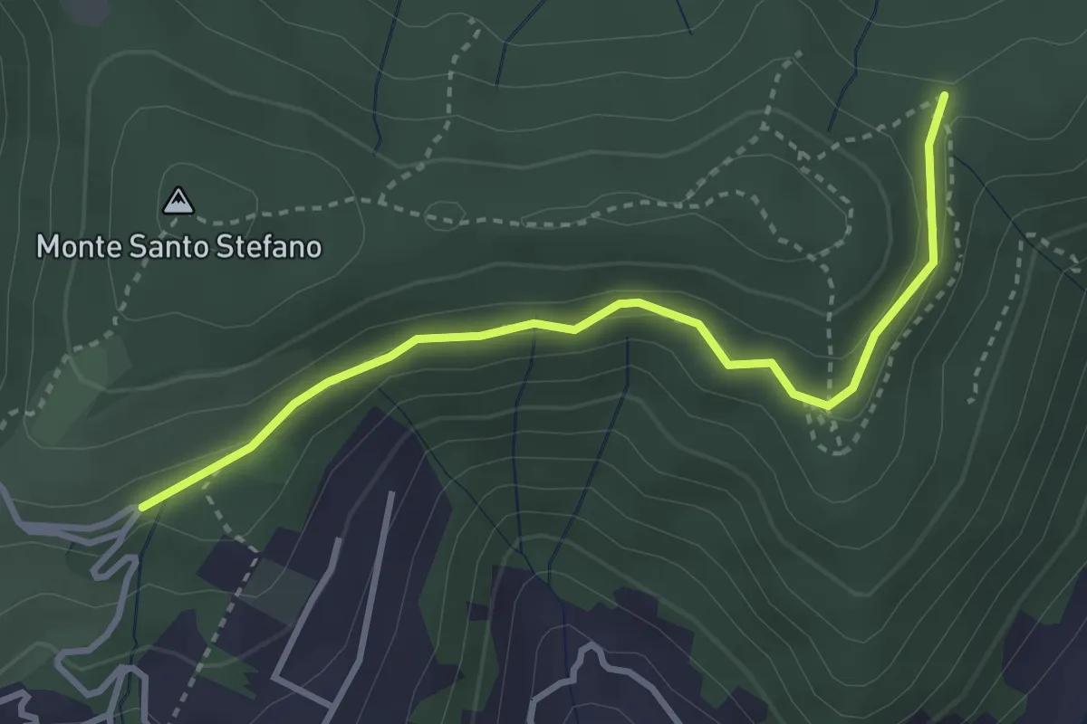
Medium · Trail
Cascina Pedrini – Boca di senter
3.4 km · ↑ 120 m · 1 h 4 min · 12 km away
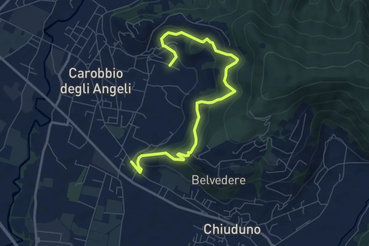
Medium · Trail
Cicola – Santo Stefano
7.8 km · ↑ 443 m · 2 h 49 min · 12 km away
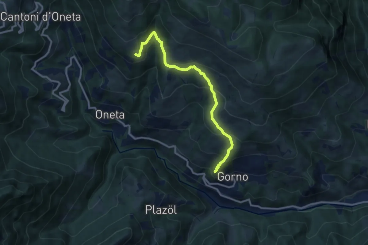
Medium · Trail
Gorno – Rifugio Baita Grem
7.2 km · ↑ 465 m · 2 h 43 min · 12 km away
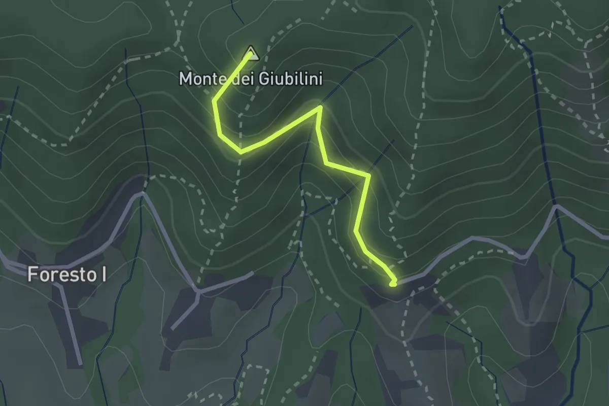
Easy · Summit
Boscalgisi – Zappel d'Erba
2.1 km · ↑ 212 m · 58 min · 12 km away
Easy · Trail
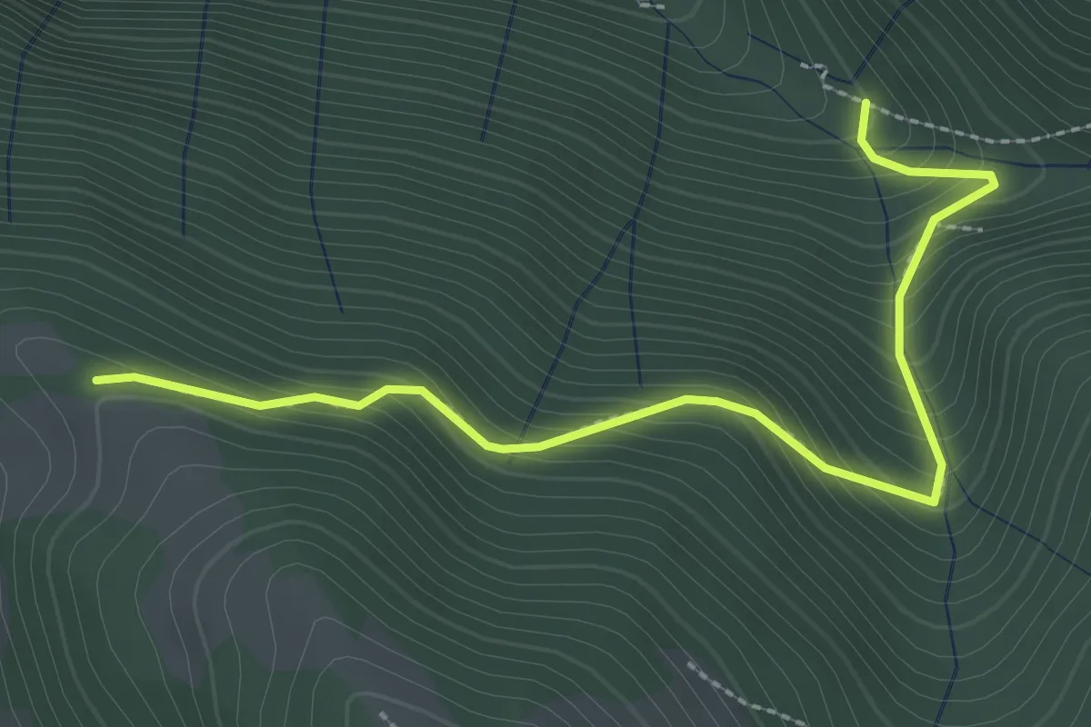
Incrocio 612 – Incrocio 612A
2.9 km · ↑ 301 m · 1 h 21 min · 12 km away
Demanding · Summit
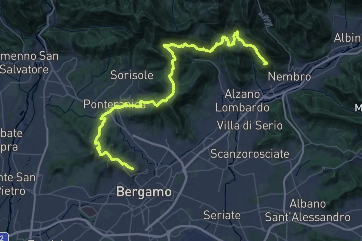
La Via delle Sorelle - Tappa 6 Traversa
19.8 km · ↑ 1016 m · 7 h 3 min · 12 km away
Medium · Trail
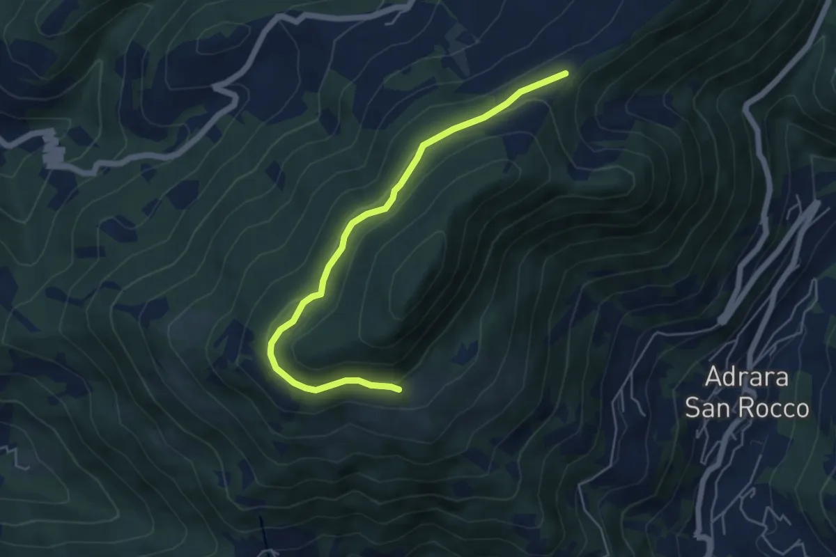
Incrocio 717 – Incrocio 717
5.2 km · ↑ 198 m · 1 h 39 min · 12 km away
Demanding · Trail
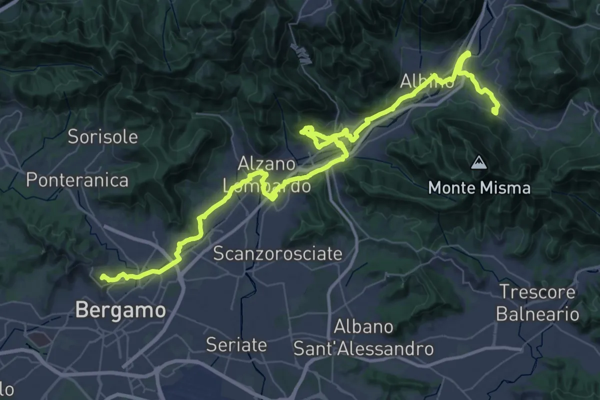
Alta Via delle Grazie - Tappa 13
25.6 km · ↑ 413 m · 7 h 17 min · 12 km away
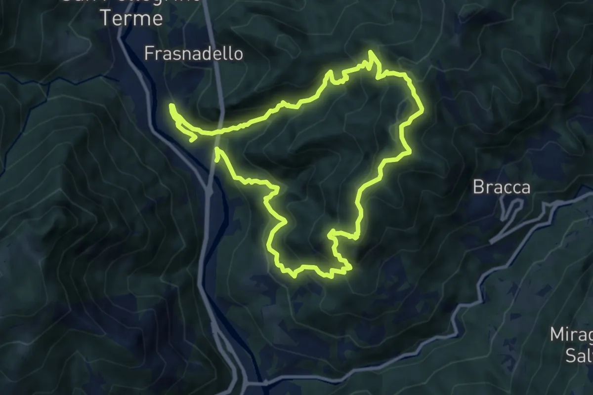
Expert · Summit
Pregalleno (San Pellegrino Terme) – Pregalleno
9.0 km · ↑ 836 m · 4 h 4 min · 12 km away
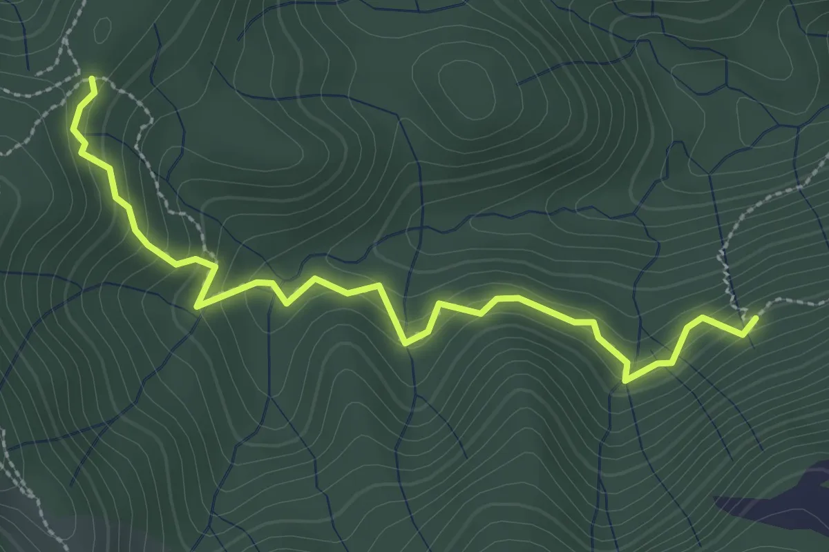
Medium · Trail
Incrocio 593 – Incrocio 561/598
3.0 km · ↑ 277 m · 1 h 19 min · 12 km away
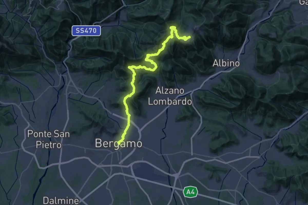
Demanding · Trail
Alta Via delle Grazie - Tappa 1
22.4 km · ↑ 1546 m · 8 h 35 min · 12 km away
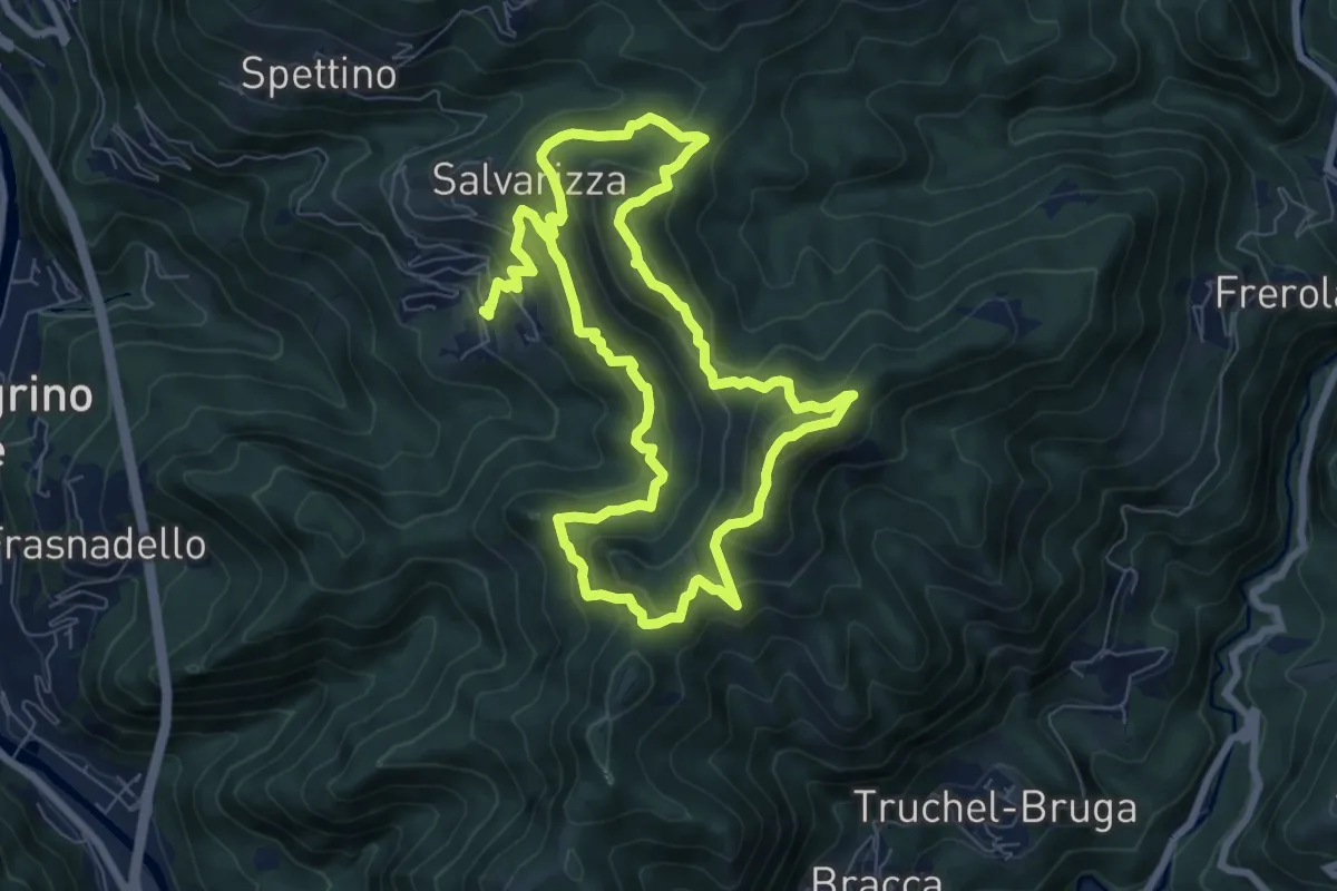
Demanding · Summit
Santa Croce – Santa Croce
7.3 km · ↑ 589 m · 3 h 2 min · 12 km away
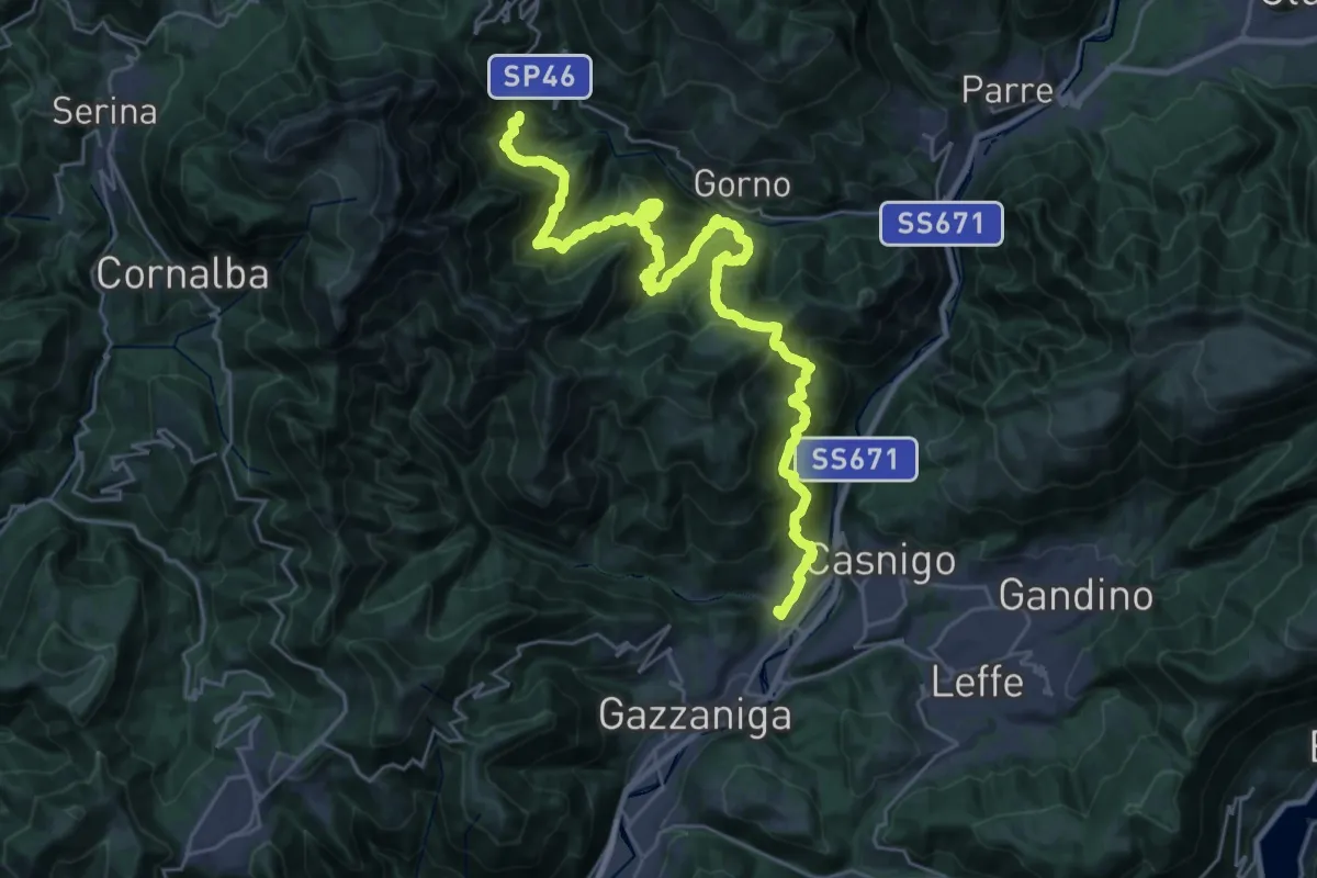
Demanding · Trail
Alta Via delle Grazie - Tappa 3
16.7 km · ↑ 807 m · 6 h 12 min · 12 km away
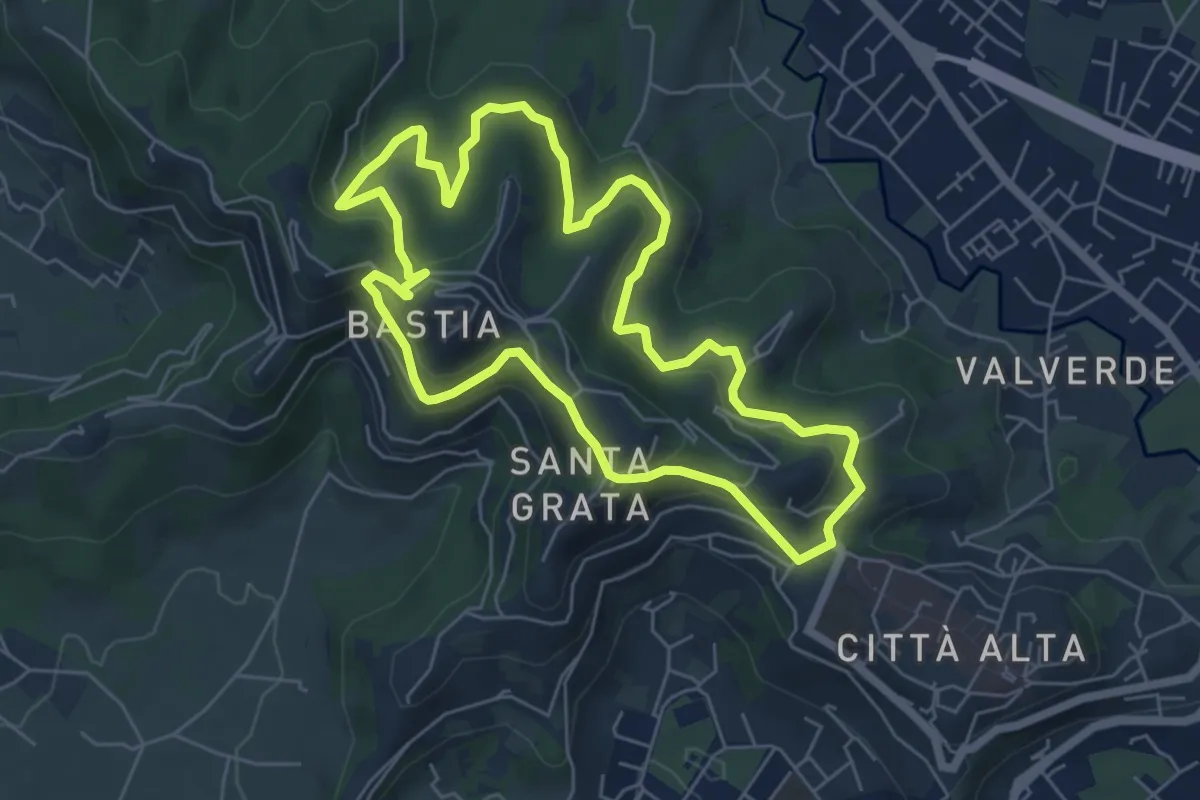
Easy · Summit
Le Vie del Verde (Itinerario 2)
6.0 km · ↑ 282 m · 2 h 6 min · 12 km away
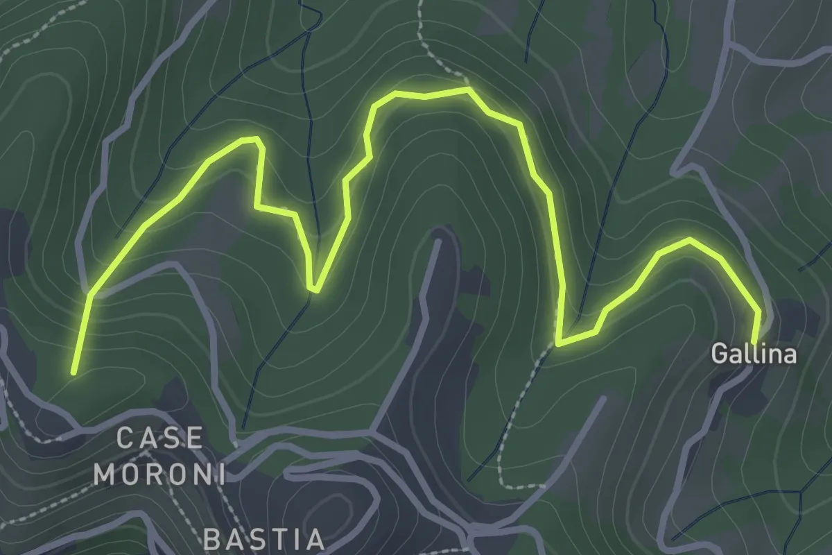
Easy · Summit
Sentiero dei Vasi
3.8 km · ↑ 252 m · 1 h 27 min · 12 km away
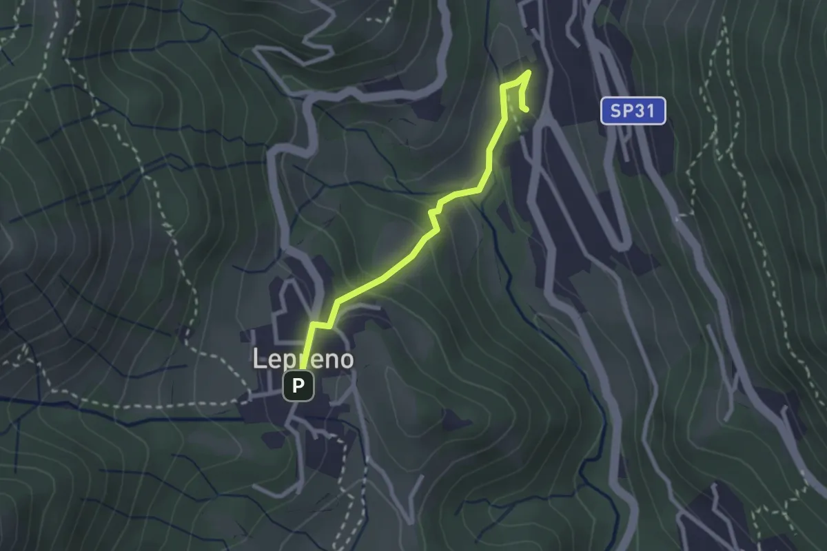
Easy · Trail
Serina – Lepreno
2.3 km · ↑ 124 m · 48 min · 12 km away
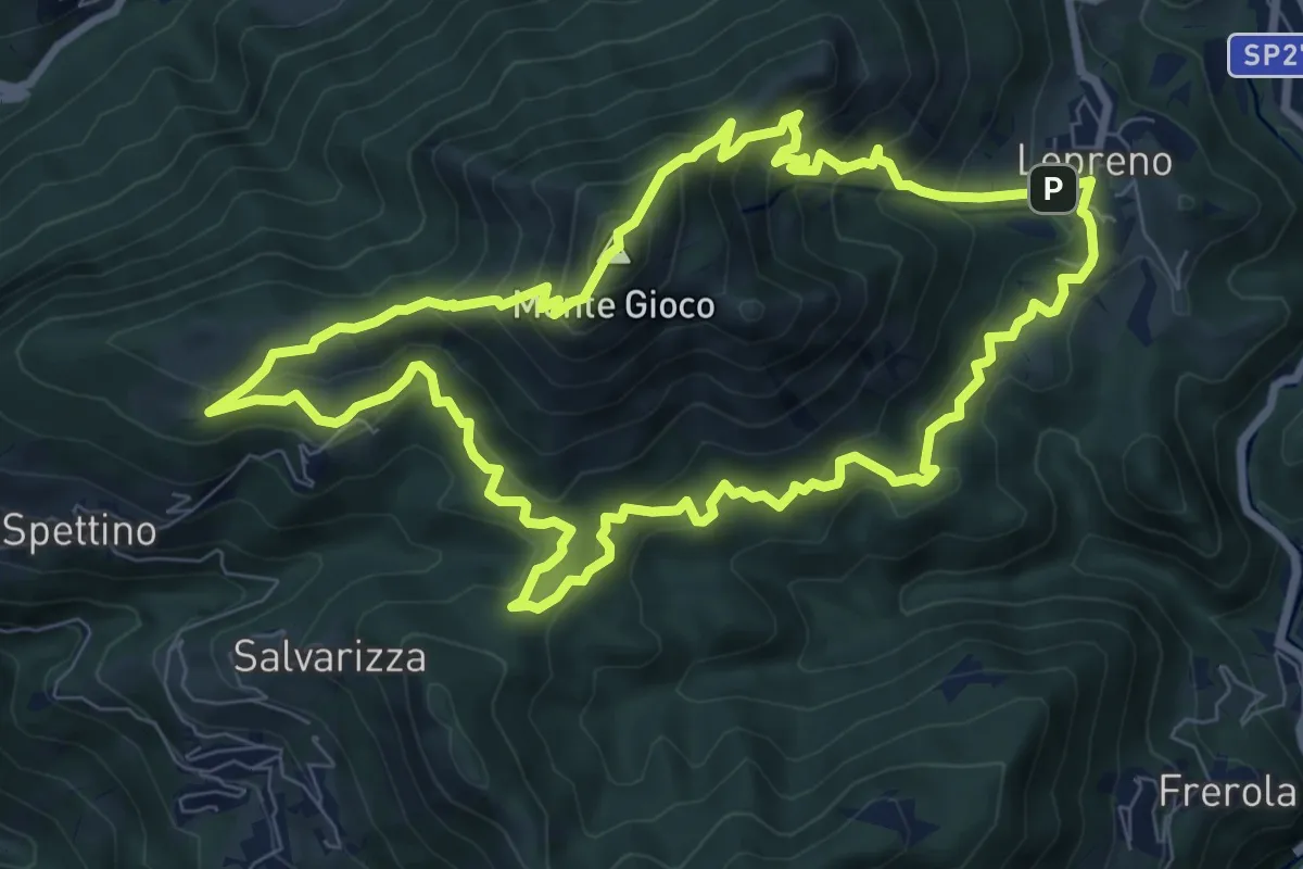
Medium · Summit
Lepreno (Serina) – Lepreno
8.9 km · ↑ 710 m · 3 h 46 min · 12 km away
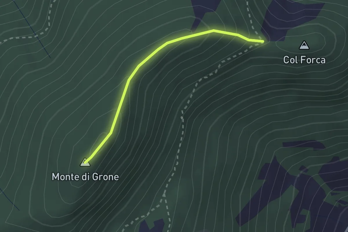
Easy · Summit
Cascina Fagiolo – Passo Colle Forca (Adrara San Martino)
2.0 km · ↑ 164 m · 50 min · 13 km away
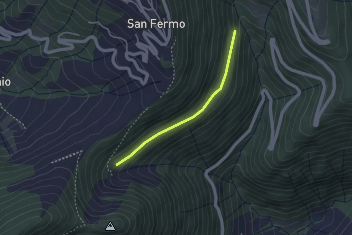
Easy · Trail
Incrocio 748 – Bondo (incrocio ASR02)
2.5 km · ↑ 83 m · 46 min · 13 km away
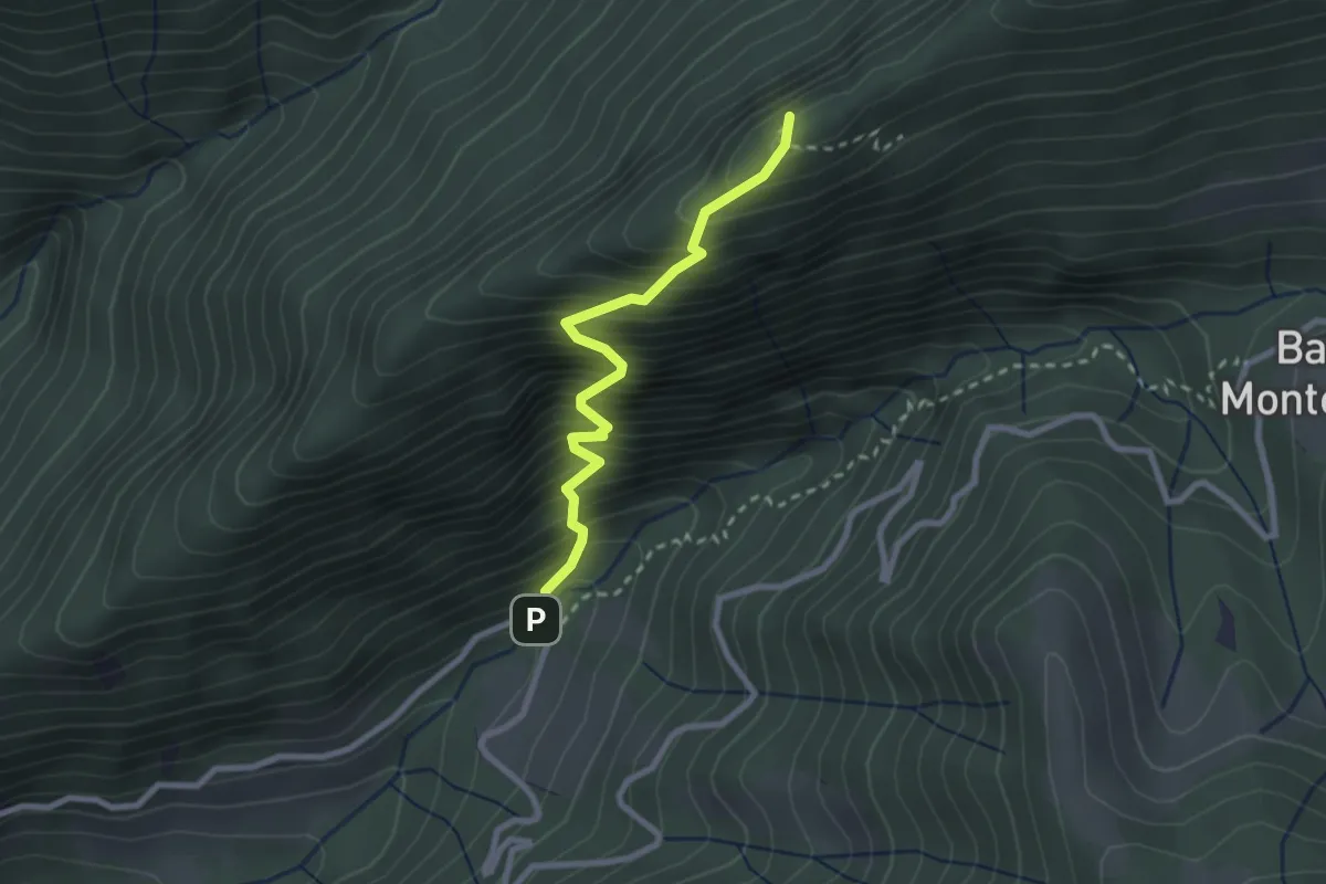
Demanding · Summit
Fontanei – Valle Piana
2.5 km · ↑ 482 m · 1 h 37 min · 13 km away
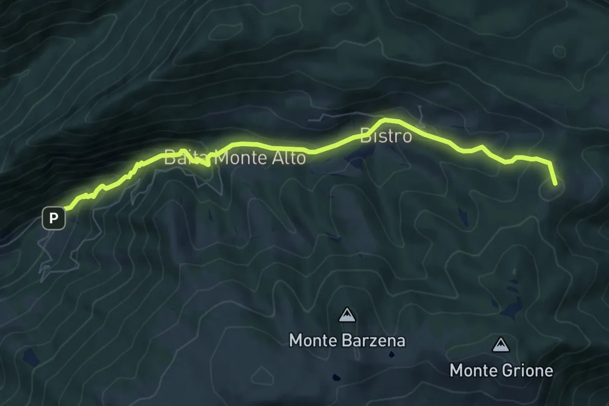
Demanding · Summit
Gandino – Monte di Sovere
7.9 km · ↑ 500 m · 2 h 57 min · 13 km away
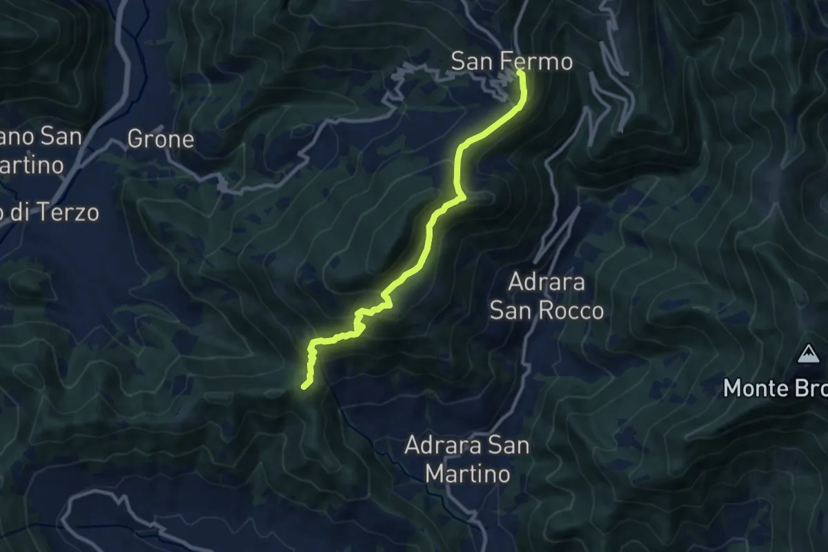
Medium · Summit
Adrara San Martino – Colli di San Fermo
9.2 km · ↑ 662 m · 3 h 37 min · 13 km away
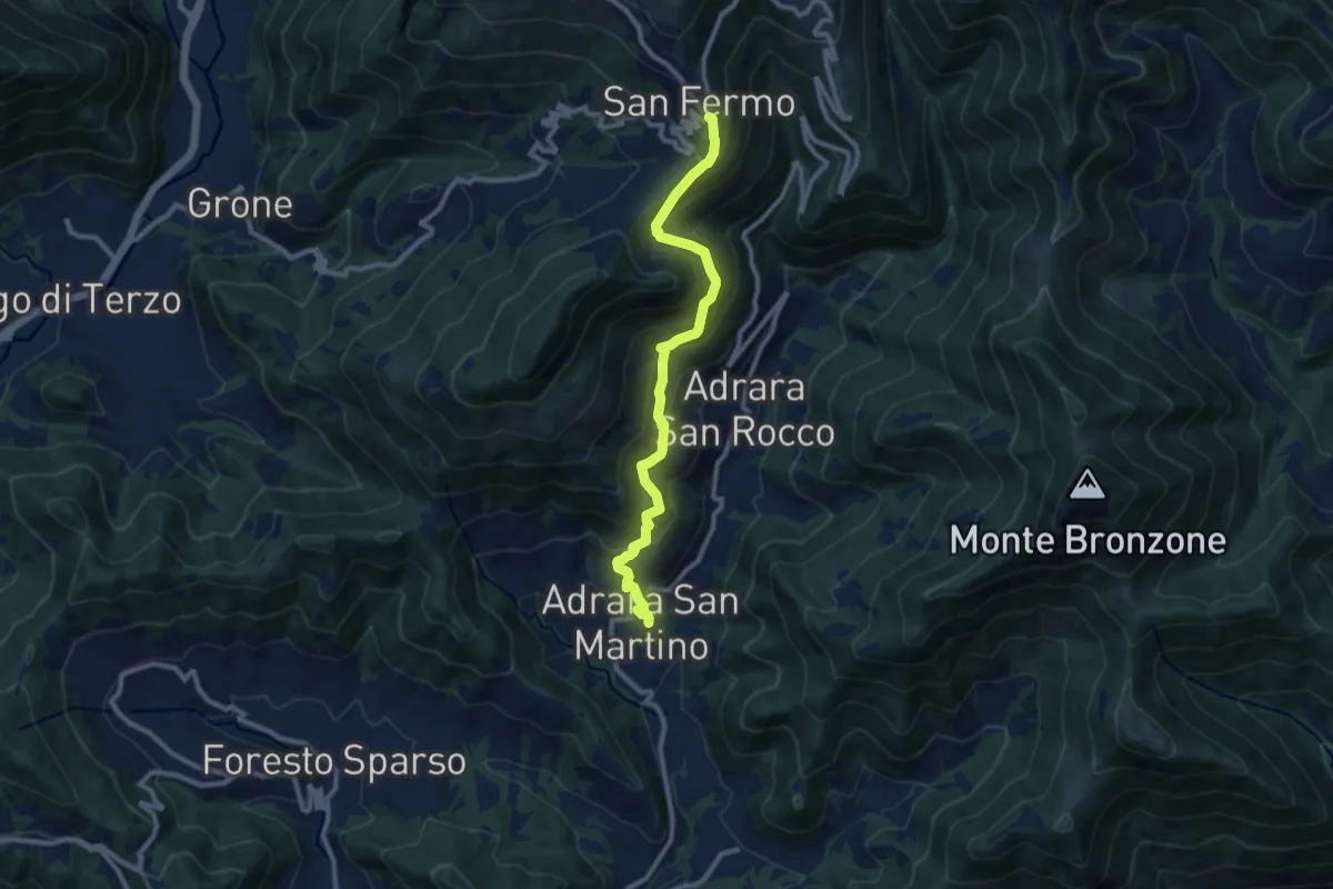
Demanding · Trail
Adrara San Martino – Colli di San Fermo
9.9 km · ↑ 812 m · 4 h 5 min · 13 km away
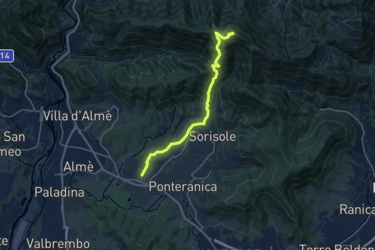
Demanding · Summit
Attacco al Canto Alto
12.5 km · ↑ 818 m · 4 h 44 min · 13 km away
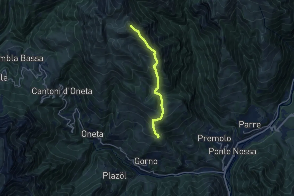
Demanding · Summit
Premolo – Rifugio Baita Golla
10.2 km · ↑ 978 m · 4 h 31 min · 13 km away
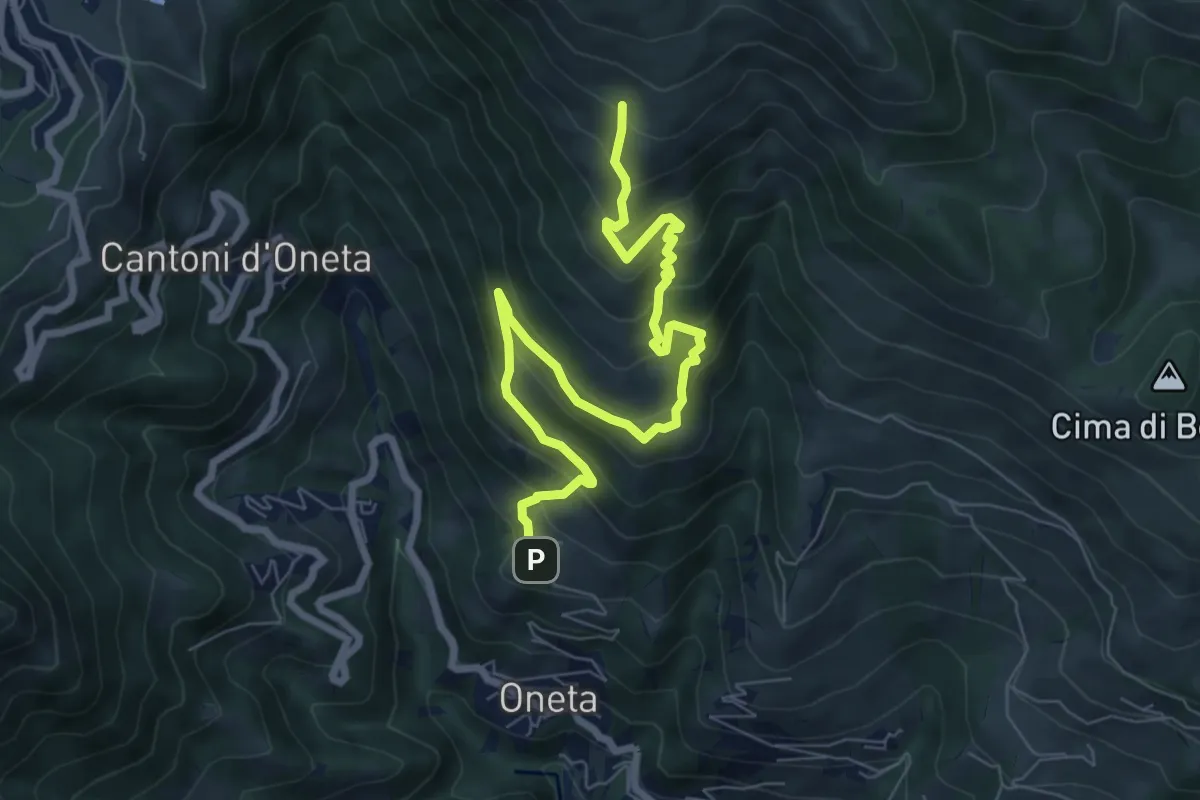
Medium · Trail
Oneta – Baita di Mezzo di Grem
8.4 km · ↑ 651 m · 3 h 24 min · 13 km away
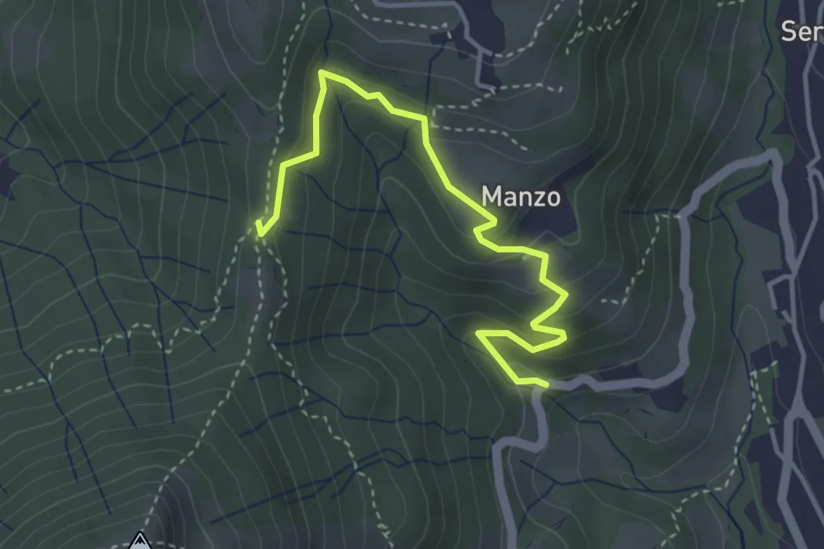
Easy · Trail
Sorgenti del Manzo – 3 Gobbe
3.7 km · ↑ 226 m · 1 h 22 min · 13 km away
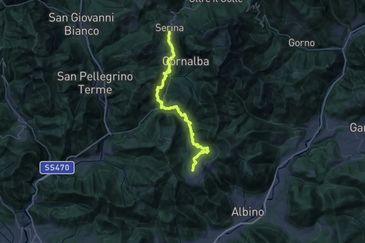
Demanding · Trail
Via Mercatorum - Variante Bassa
16.1 km · ↑ 969 m · 6 h 4 min · 13 km away