Trails near Albino
255 hikes starting within 15 km, nearest first.
Nearest first, page 5 of 6
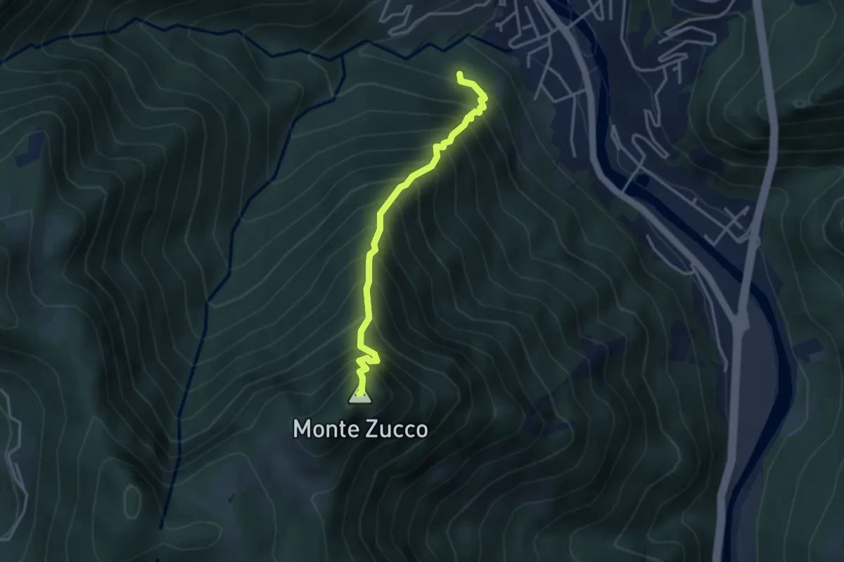
Expert · Summit
Sentiero Panoramico
3.2 km · ↑ 749 m · 2 h 23 min · 13 km away
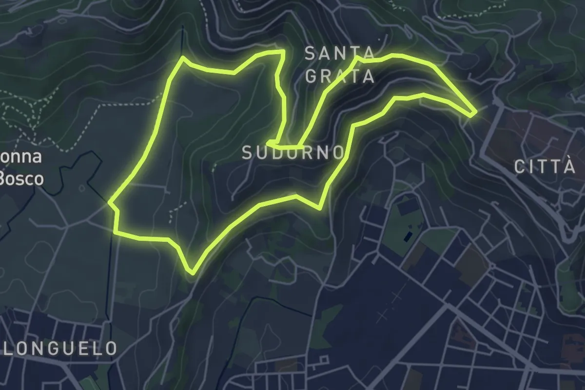
Easy · Trail
Le Vie del Verde (Itinerario 1)
5.3 km · ↑ 246 m · 1 h 52 min · 13 km away
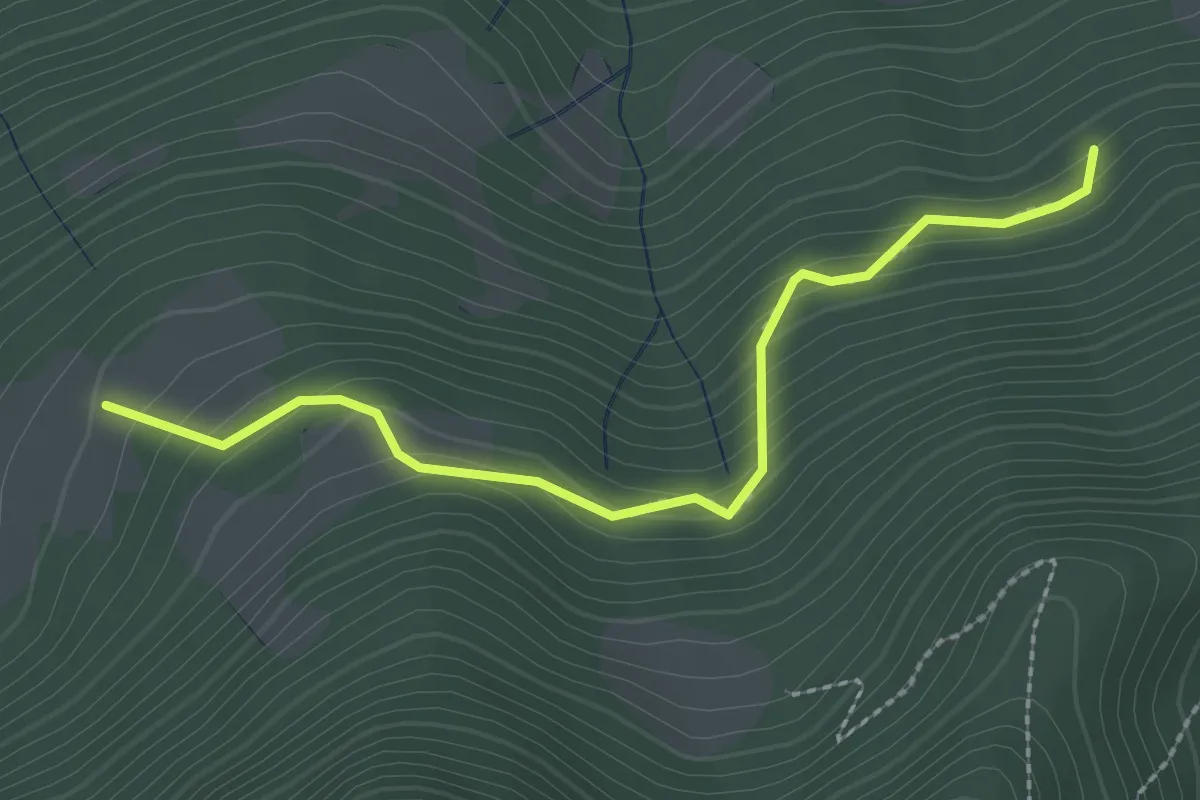
Medium · Trail
Rumignano – Pirola (S. Felice al Lago)
2.5 km · ↑ 204 m · 1 h 2 min · 13 km away
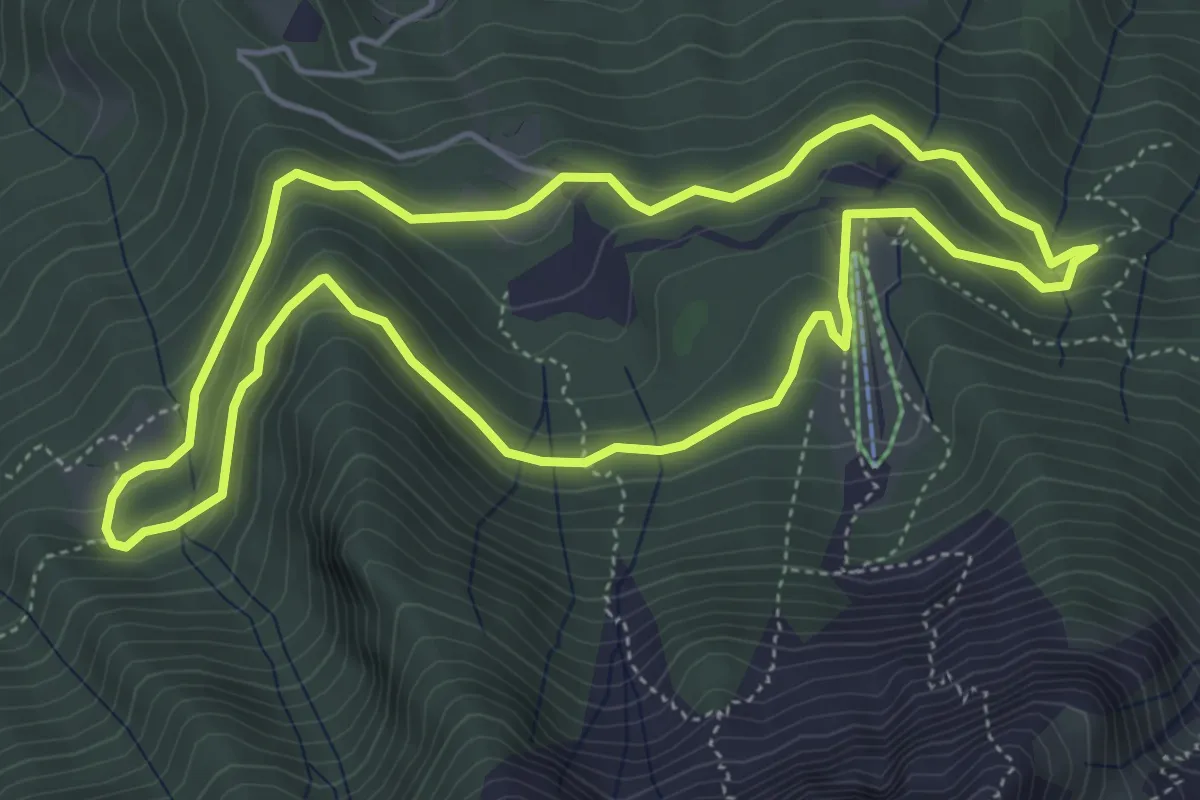
Easy · Trail
Anello Pista Conca dell’Alben
5.0 km · ↑ 198 m · 1 h 41 min · 13 km away
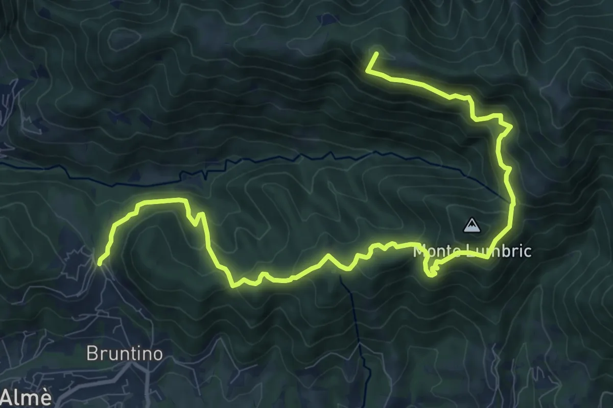
Demanding · Summit
Bruntino Alto – Prati Parini
13.4 km · ↑ 1072 m · 5 h 30 min · 13 km away
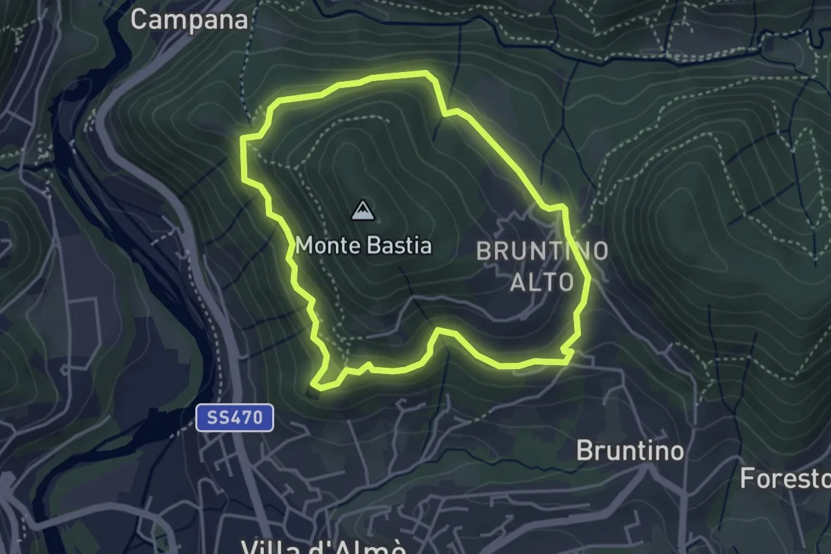
Medium · Trail
Giro del Monte Bastia
3.7 km · ↑ 174 m · 1 h 18 min · 13 km away
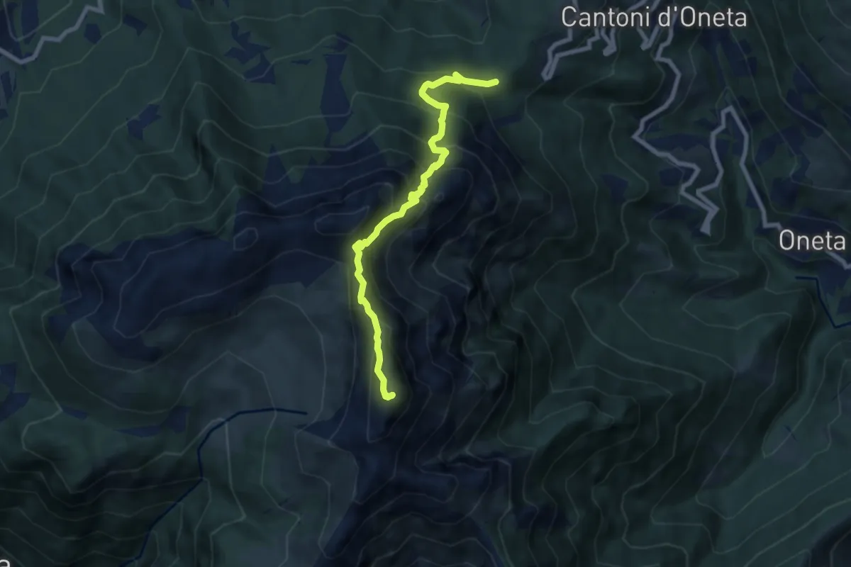
Expert · Summit
Passo della Crocetta – Monte Alben
7.1 km · ↑ 751 m · 3 h 19 min · 13 km away
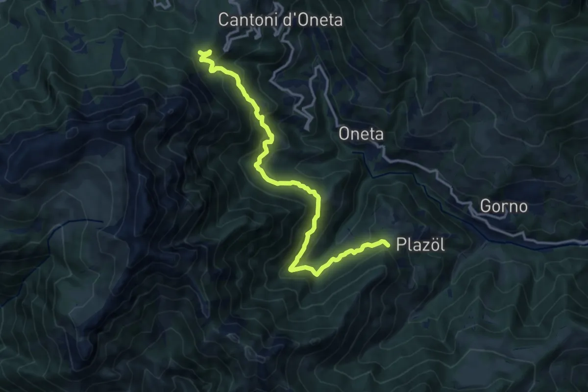
Demanding · Trail
Chignolo (Oneta) – Passo della Crocetta
12.5 km · ↑ 884 m · 4 h 52 min · 13 km away
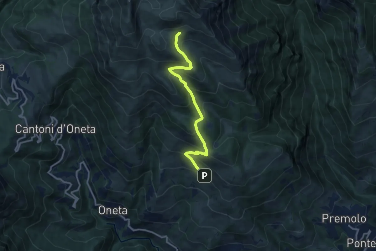
Medium · Cabin
Alpe Grina (Gorno) – Rifugio Baita Golla
8.4 km · ↑ 656 m · 3 h 24 min · 13 km away
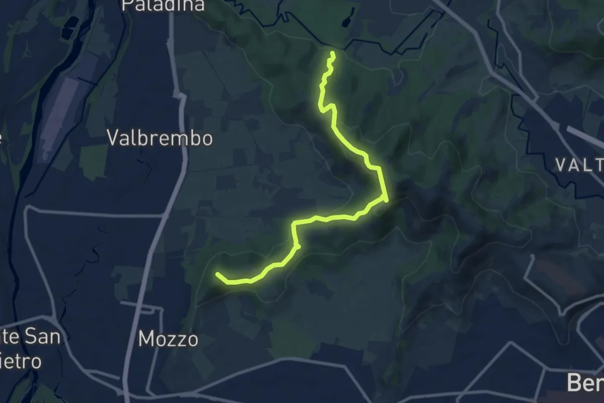
Medium · Summit
Traccia Partigiana
9.0 km · ↑ 351 m · 2 h 54 min · 13 km away
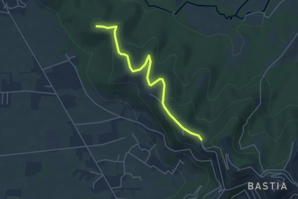
Easy · Summit
Santuario di Sombreno (Paladina) – Colle dei Roccoli (Bergamo)
4.0 km · ↑ 110 m · 1 h 11 min · 13 km away
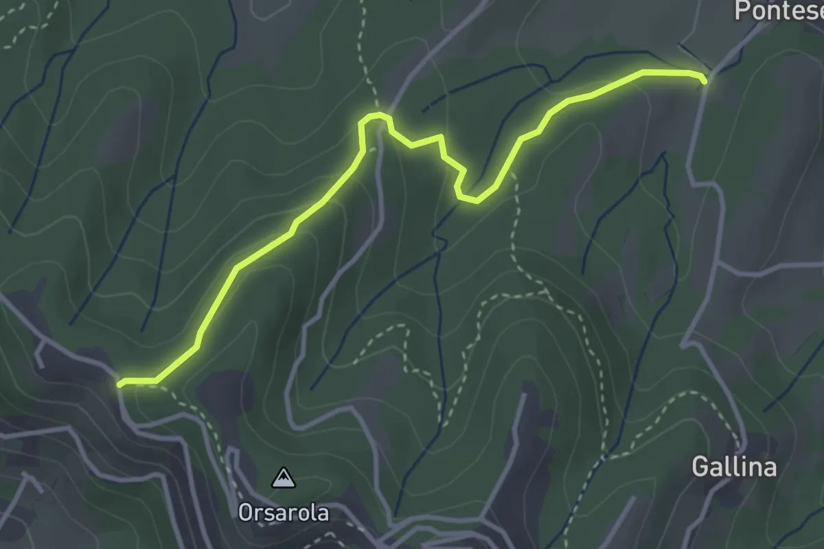
Demanding · Trail
Via Castagneta – Colle dei Roccoli
3.5 km · ↑ 145 m · 1 h 9 min · 13 km away
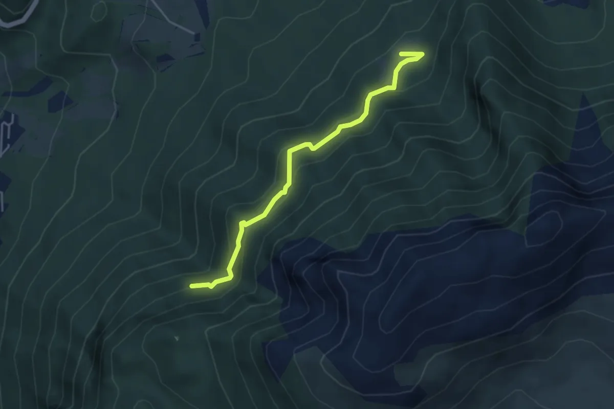
Medium · Trail
Pian della Mussa – Incrocio 502
3.8 km · ↑ 282 m · 1 h 31 min · 13 km away
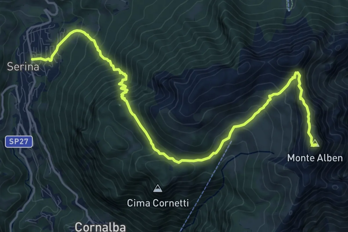
Expert · Summit
Serina – Monte Alben
14.7 km · ↑ 1277 m · 6 h 14 min · 13 km away
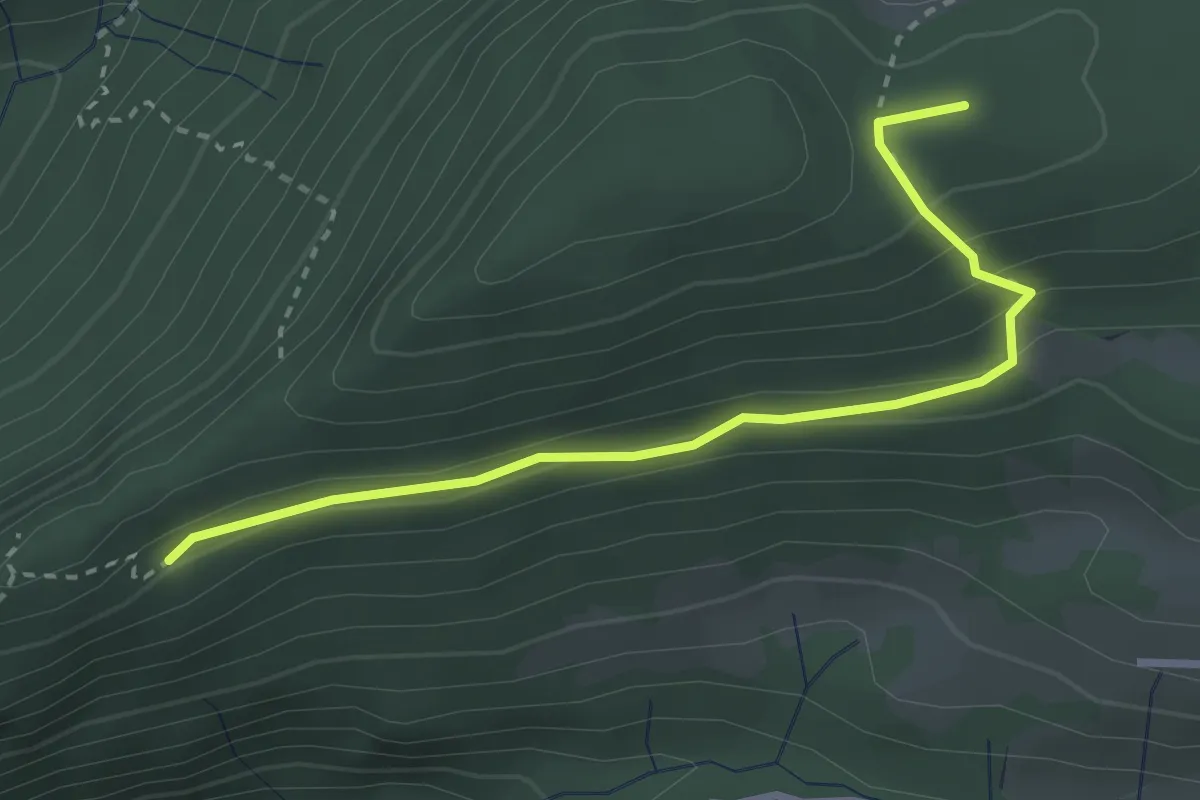
Medium · Summit
Croce di Corno – Campo d’Avene
3.0 km · ↑ 155 m · 1 h 3 min · 13 km away
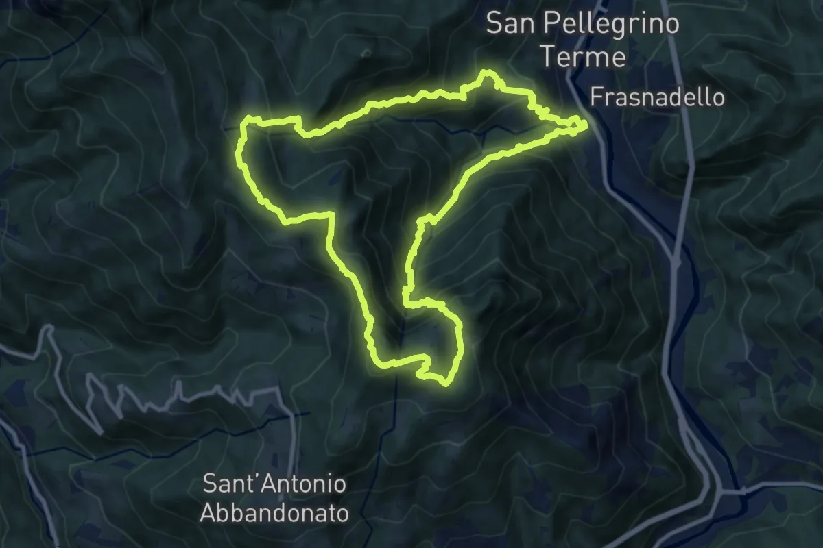
Demanding · Summit
San Pellegrino – San Pellegrino
10.7 km · ↑ 979 m · 4 h 47 min · 14 km away
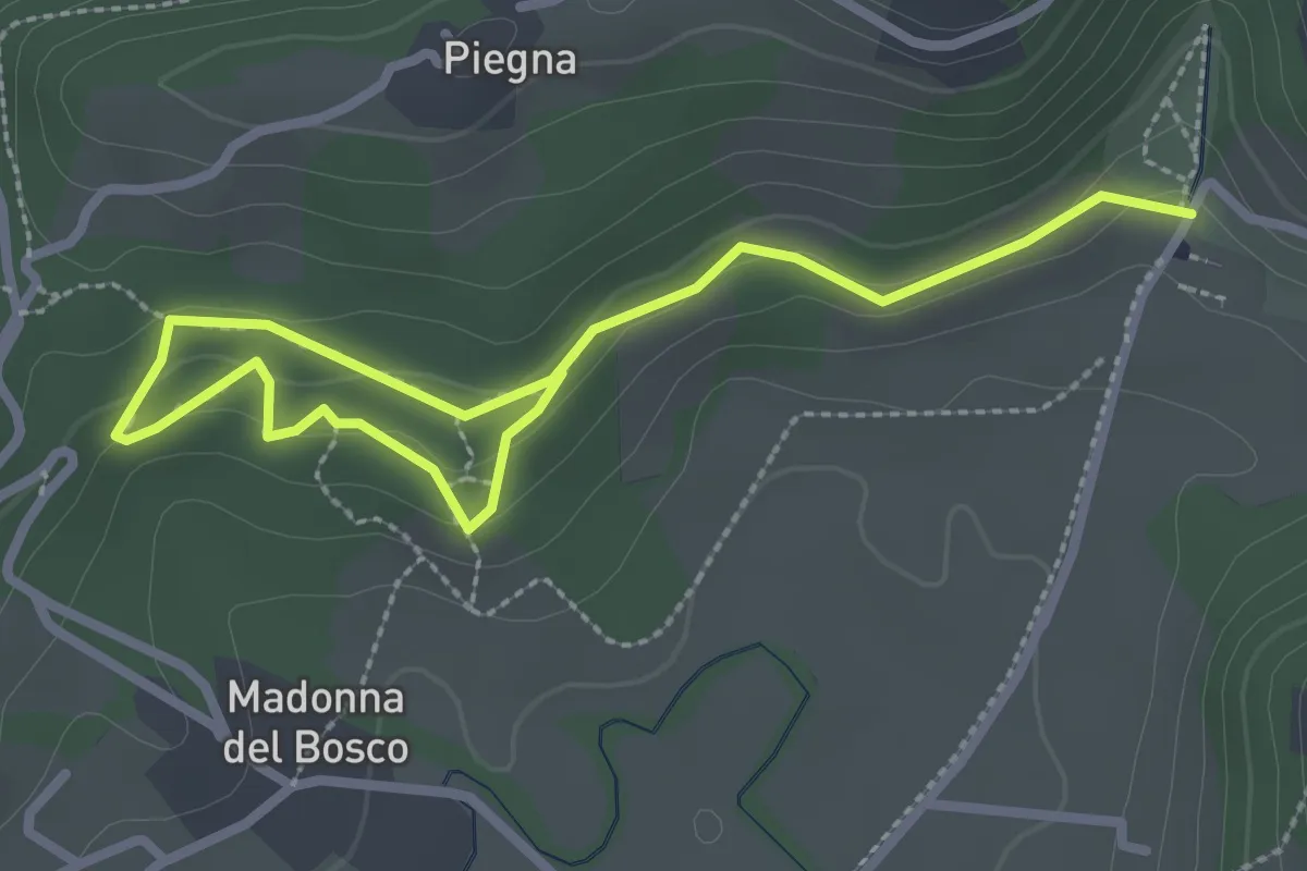
Easy · Trail
Bosco dell'Allegrezza
3.6 km · ↑ 103 m · 1 h 4 min · 14 km away
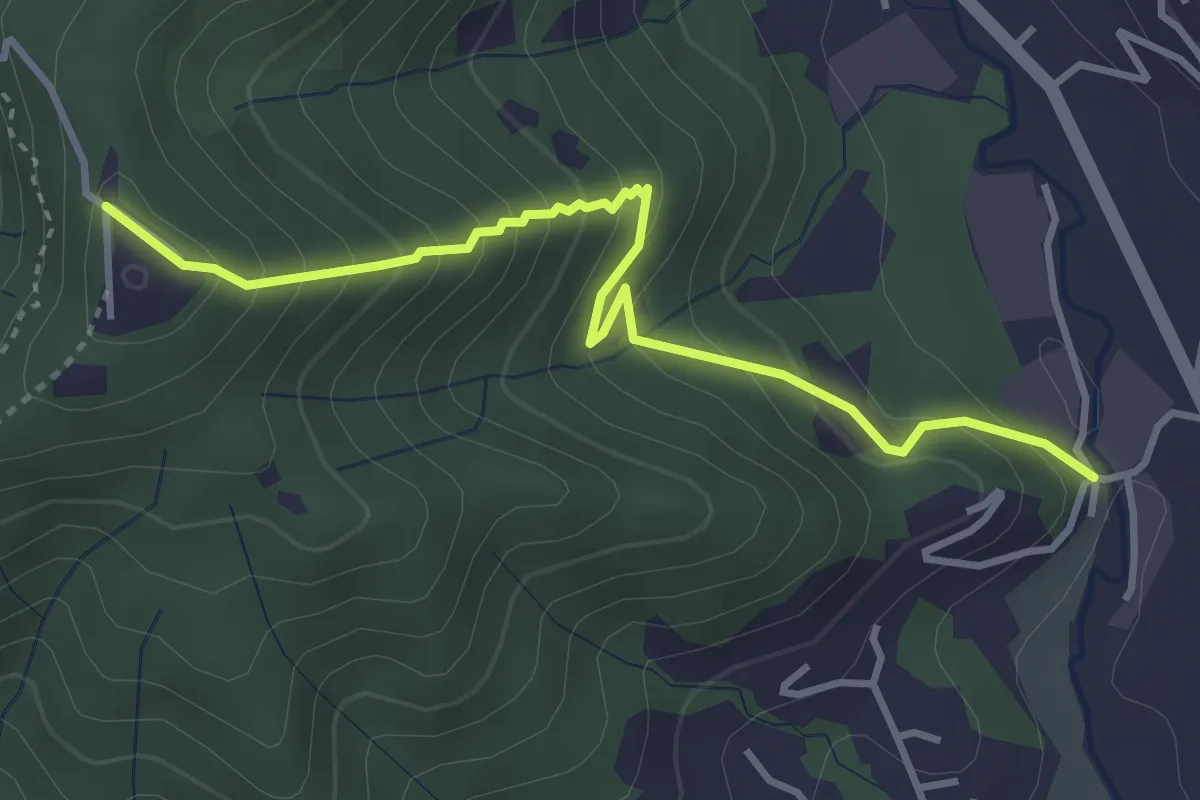
Medium · Trail
Fornace – San Giovanni delle Formiche
3.8 km · ↑ 345 m · 1 h 38 min · 14 km away
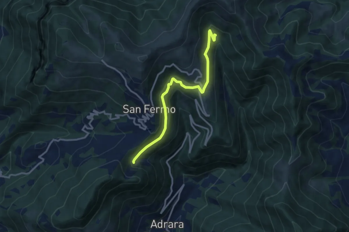
Medium · Trail
Adrara San Martino (incrocio 715) – Incrocio 744
8.2 km · ↑ 459 m · 2 h 55 min · 14 km away
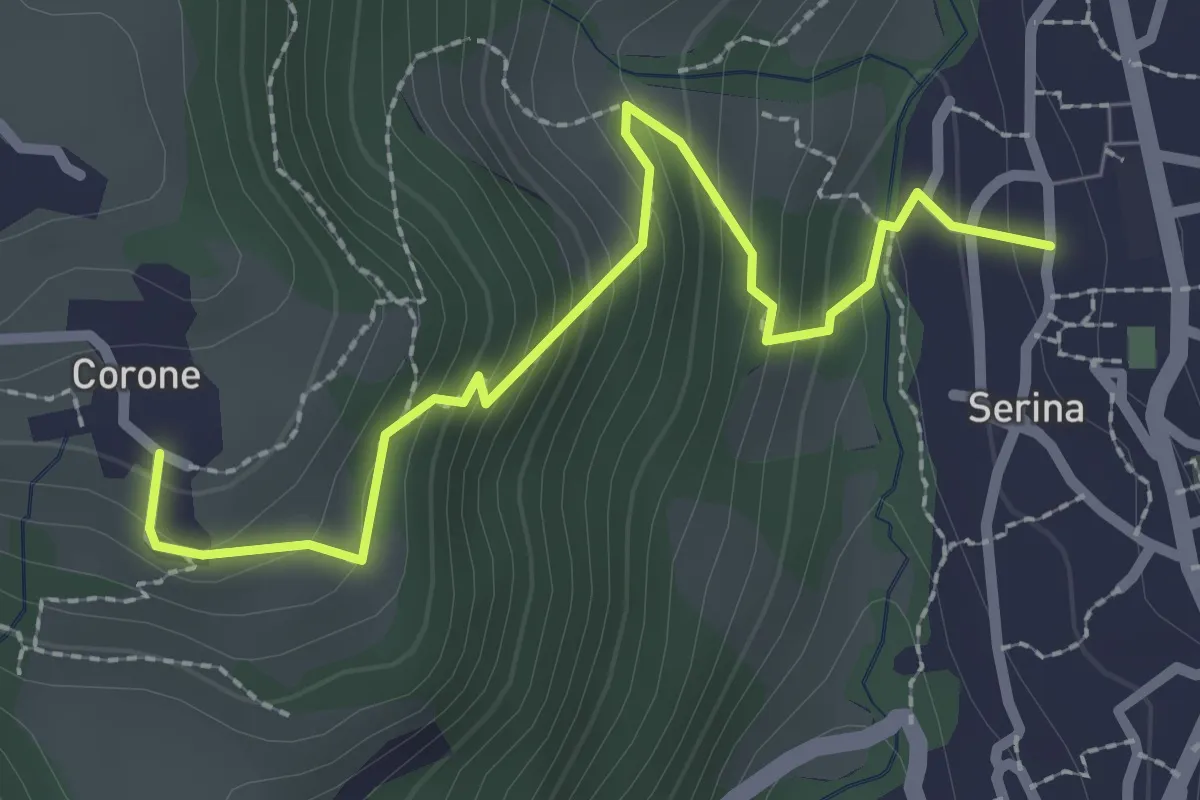
Medium · Trail
Serina – Corone
2.7 km · ↑ 220 m · 1 h 7 min · 14 km away
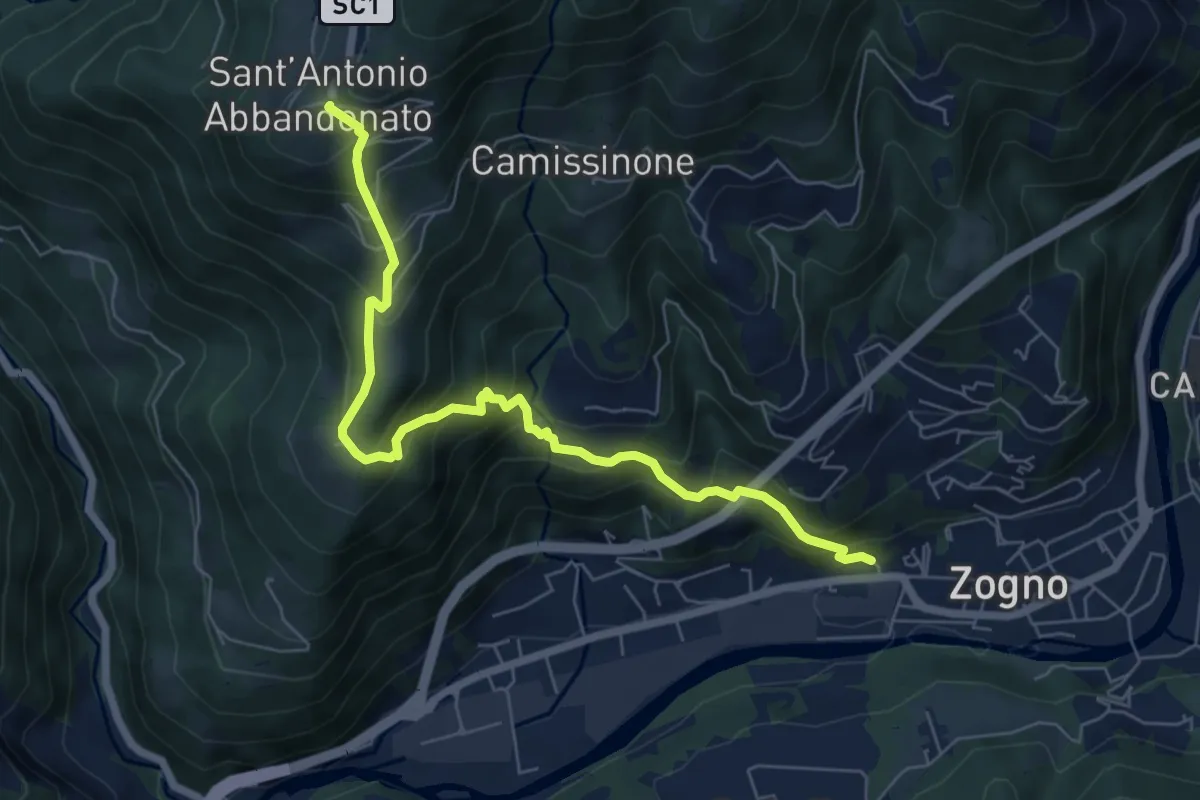
Medium · Trail
Zogno (via Sottocorna) – S. Antonio Abbandonato
7.2 km · ↑ 729 m · 3 h 16 min · 14 km away
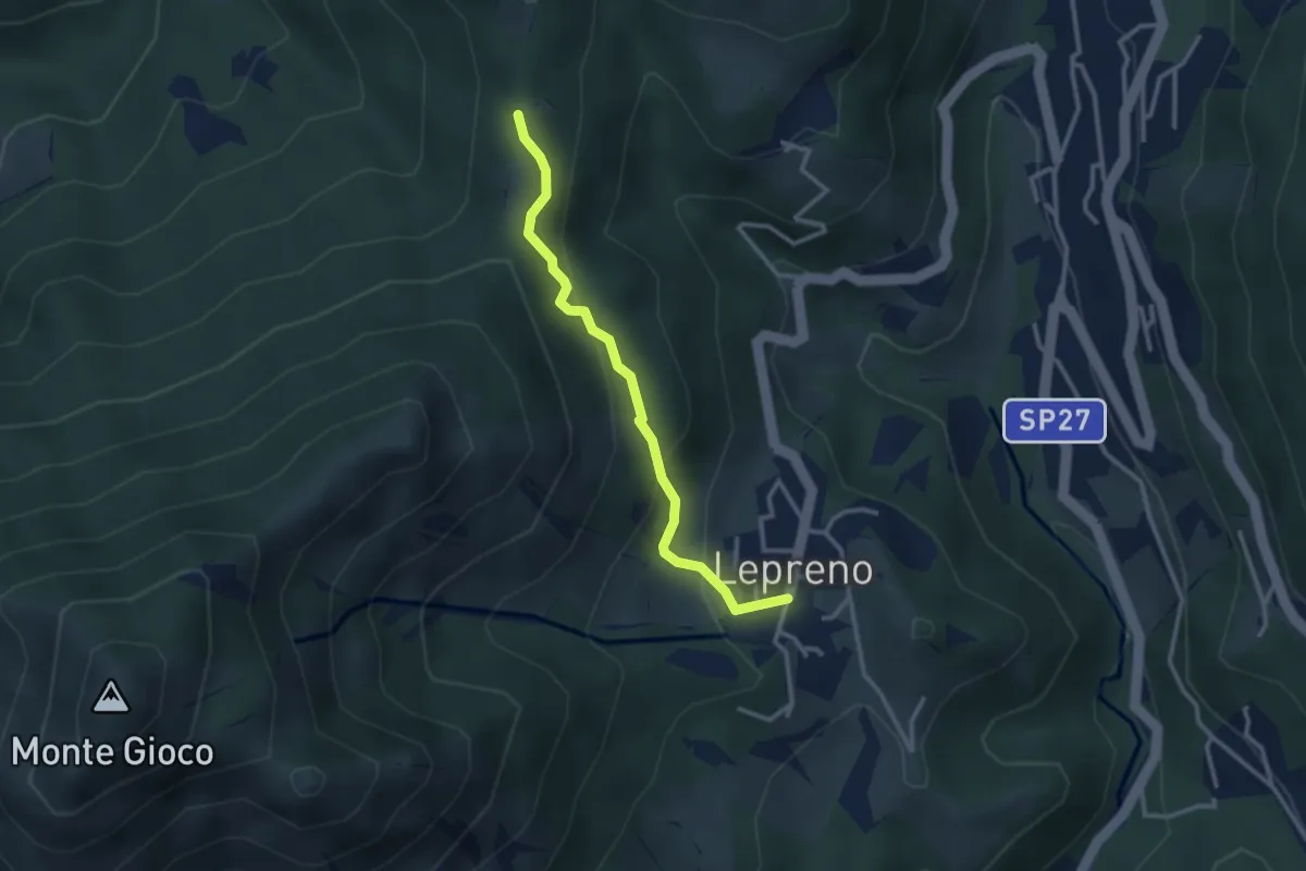
Easy · Trail
Lepreno – 3 Gobbe
2.8 km · ↑ 168 m · 1 h 2 min · 14 km away
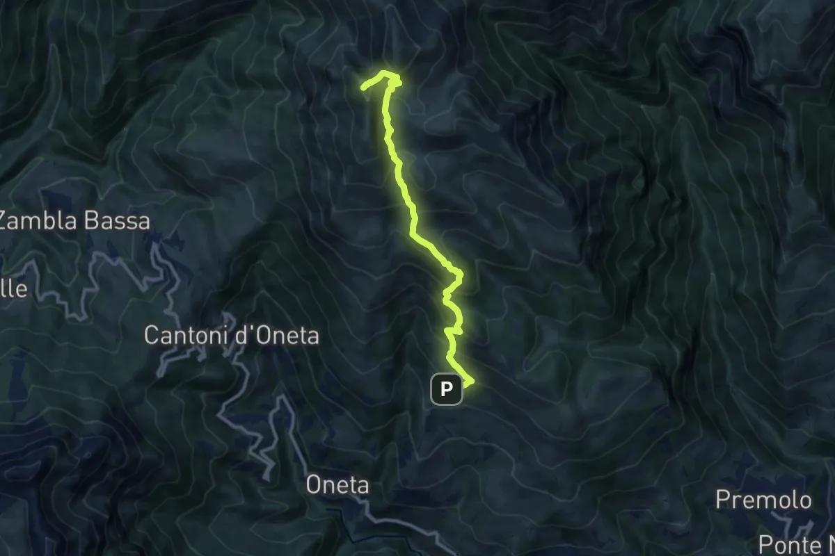
Demanding · Summit
Alpe Grina (Gorno) – Cima di Grem
9.5 km · ↑ 899 m · 4 h 11 min · 14 km away
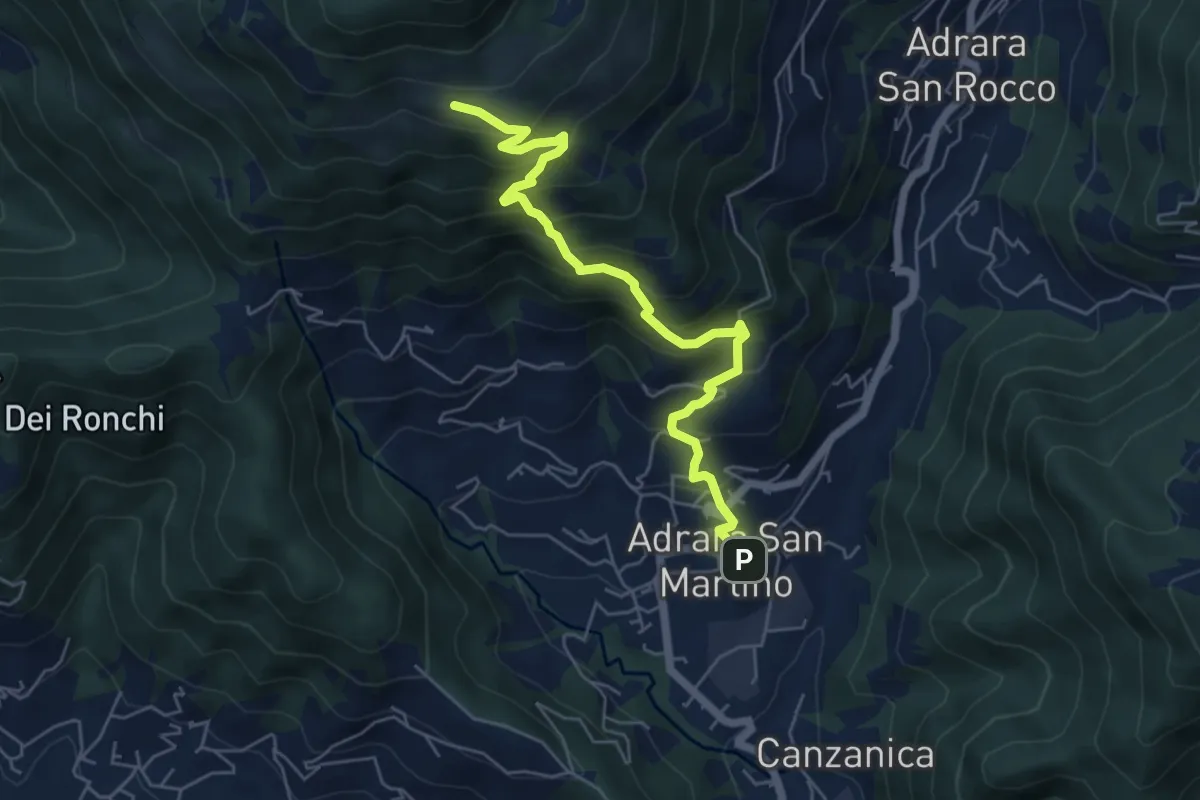
Medium · Cabin
Adrara San Martino – Fienili di Gaiana
6.0 km · ↑ 598 m · 2 h 43 min · 14 km away
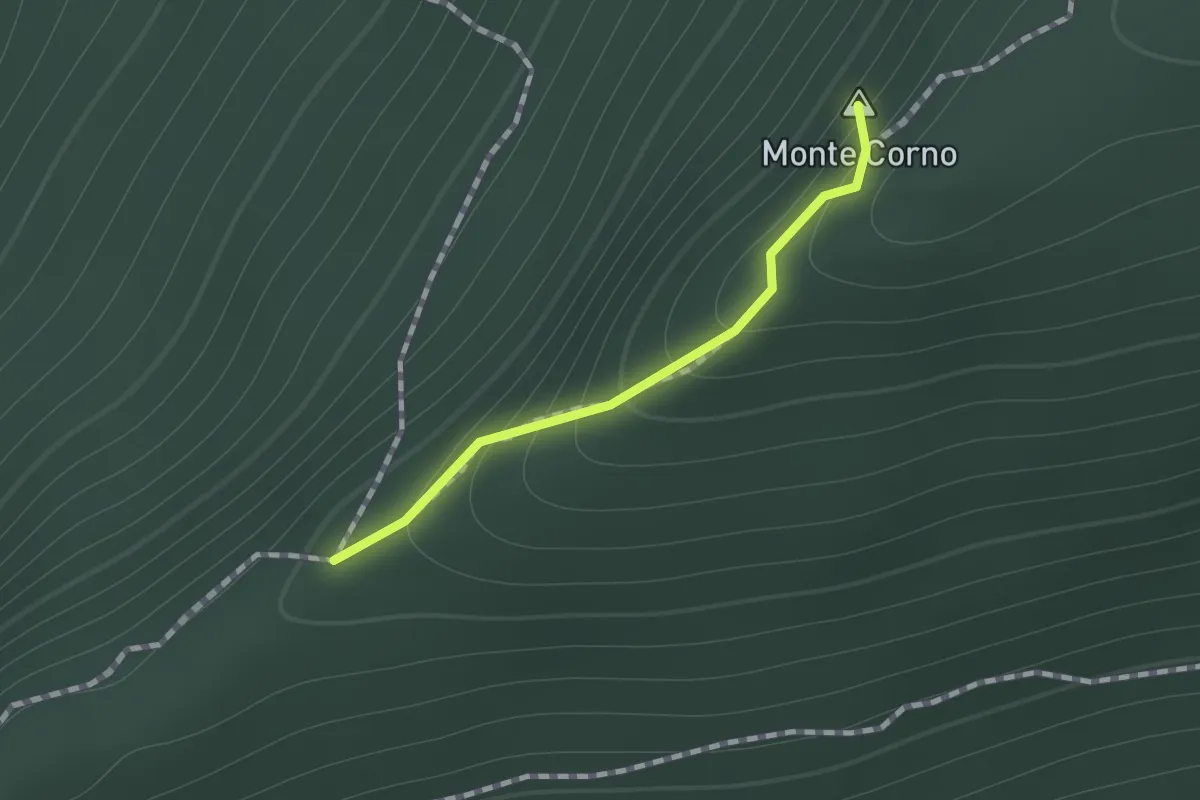
Easy · Summit
Sul percorso EE fra la Croce del Monte Corno ed il Campo d'Avene
0.7 km · ↑ 99 m · 23 min · 14 km away
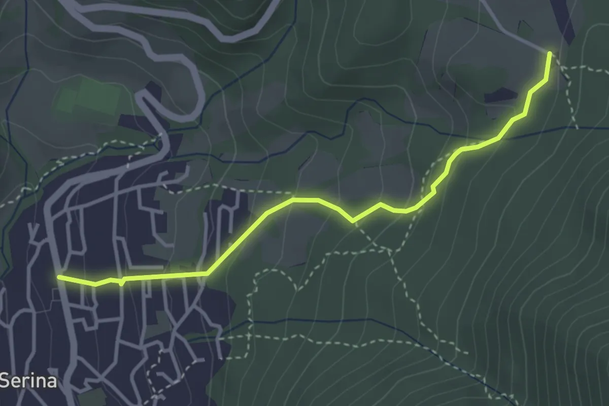
Easy · Trail
Serina – Cà di Zocc
3.4 km · ↑ 243 m · 1 h 20 min · 14 km away
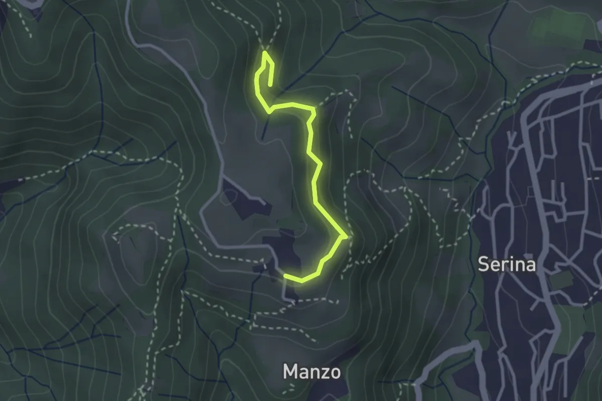
Medium · Trail
Corone – Incrocio Via Mercatorum
2.4 km · ↑ 123 m · 51 min · 14 km away
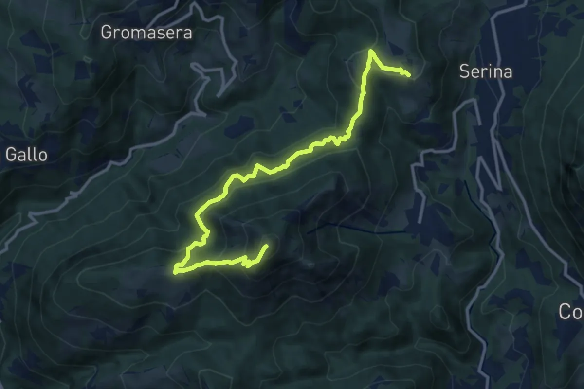
Medium · Summit
Corone (Serina) – Spettino (San Pellegrino Terme)
10.4 km · ↑ 752 m · 4 h 5 min · 14 km away
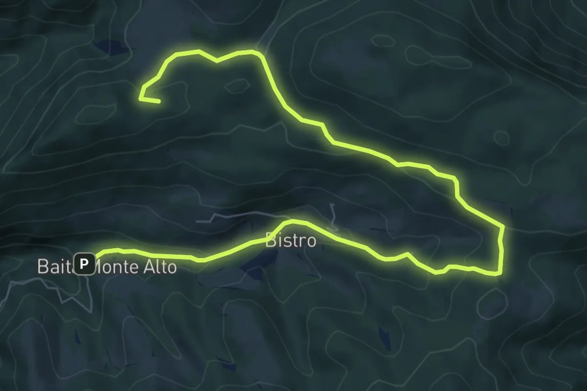
Medium · Summit
Il percorso del bosco
10.7 km · ↑ 385 m · 3 h 22 min · 14 km away
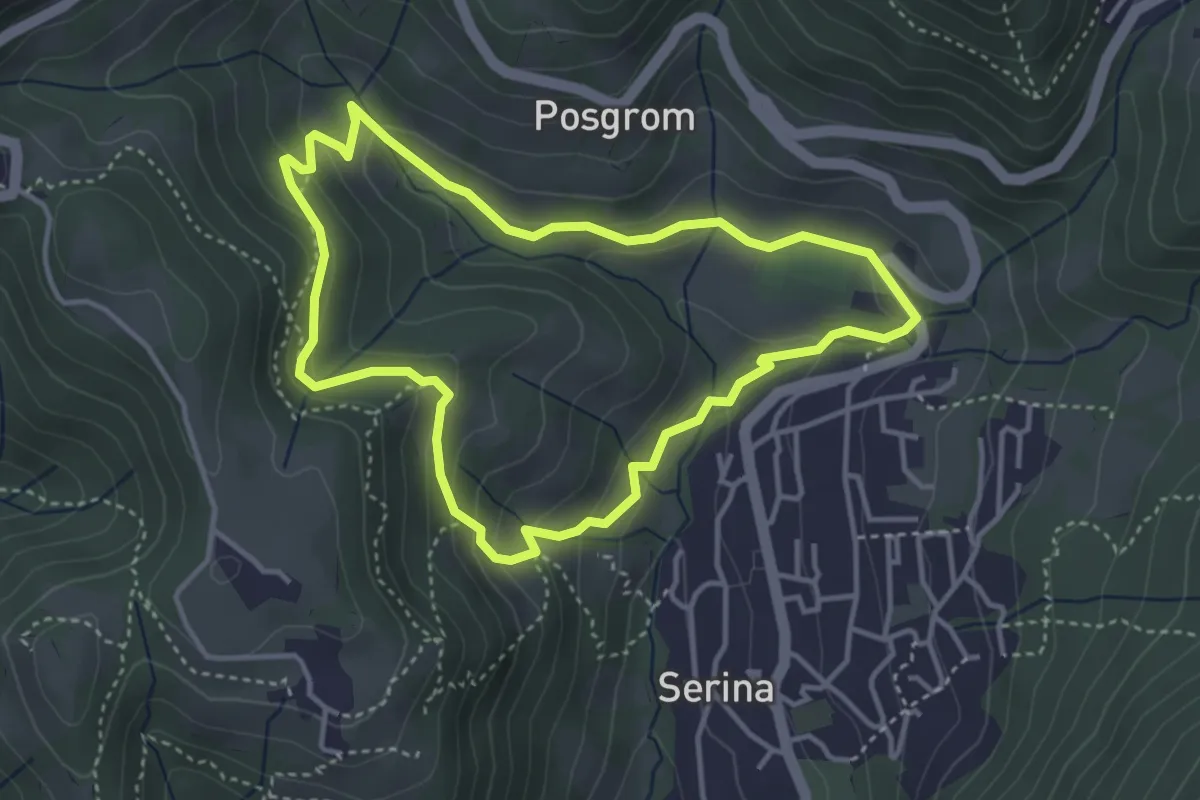
Medium · Trail
Anello Serina
3.7 km · ↑ 179 m · 1 h 19 min · 14 km away
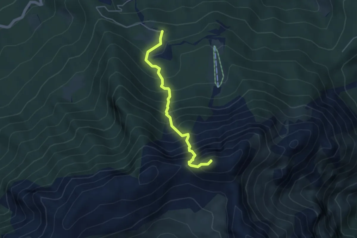
Demanding · Summit
Sentiero dell’Amicizia
3.7 km · ↑ 652 m · 2 h 17 min · 14 km away
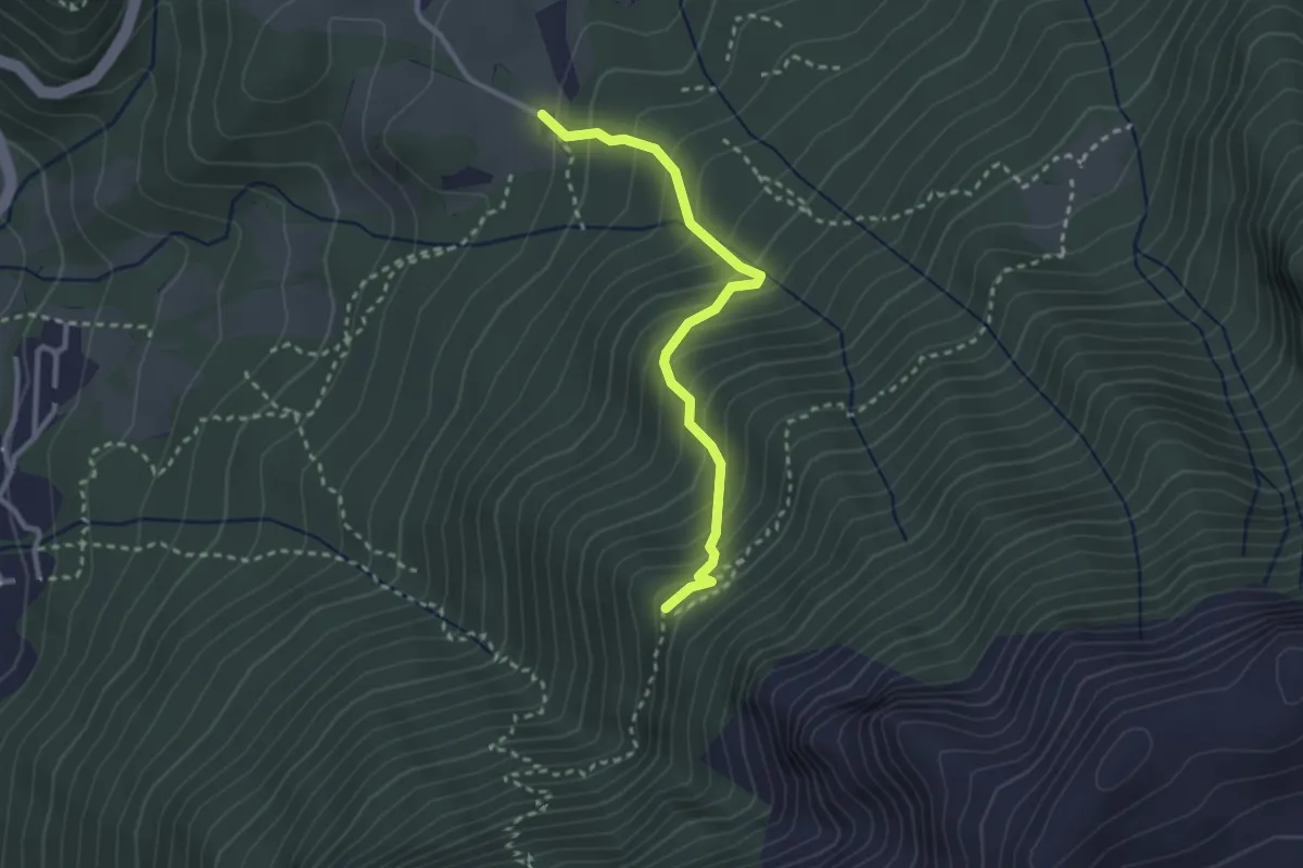
Medium · Cabin
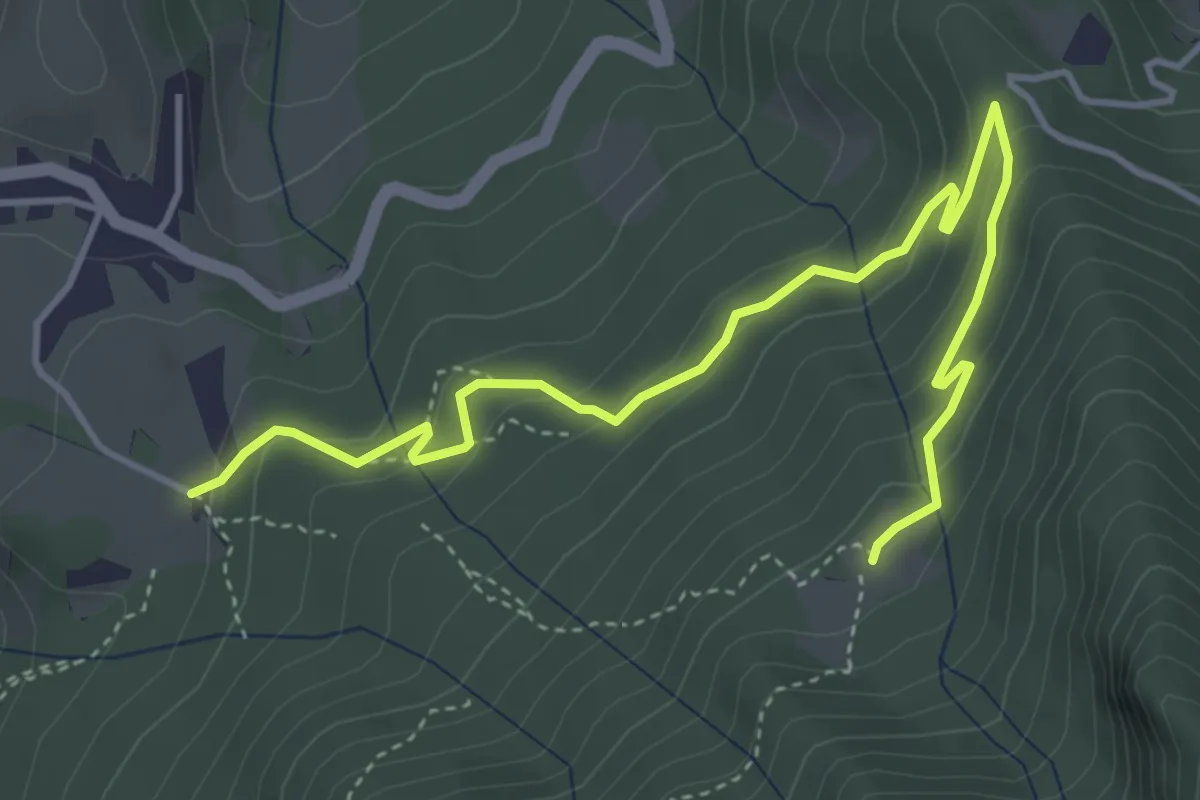
Cà di Zocc – Casina Bianca
2.7 km · ↑ 322 m · 1 h 20 min · 14 km away
Easy · Trail
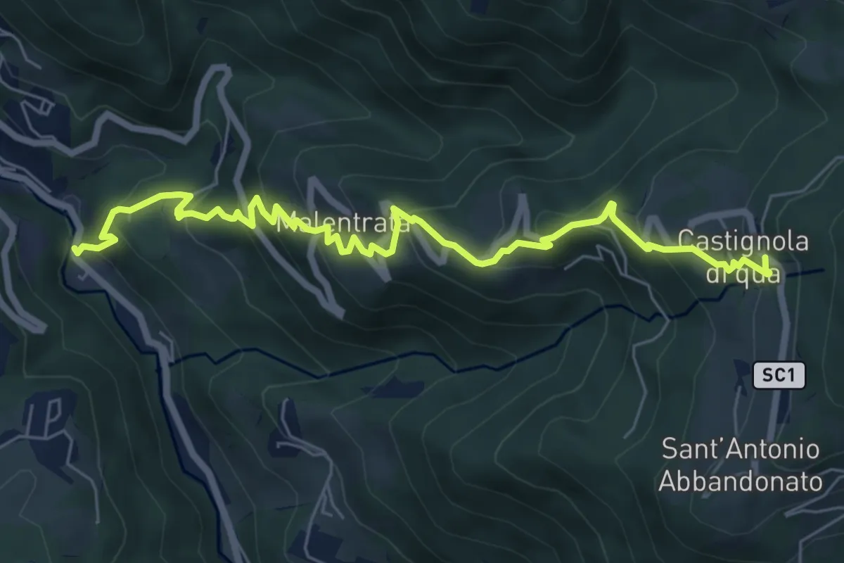
Cà di Zocc – Plan della Mussa
5.1 km · ↑ 255 m · 1 h 46 min · 14 km away
Medium · Trail
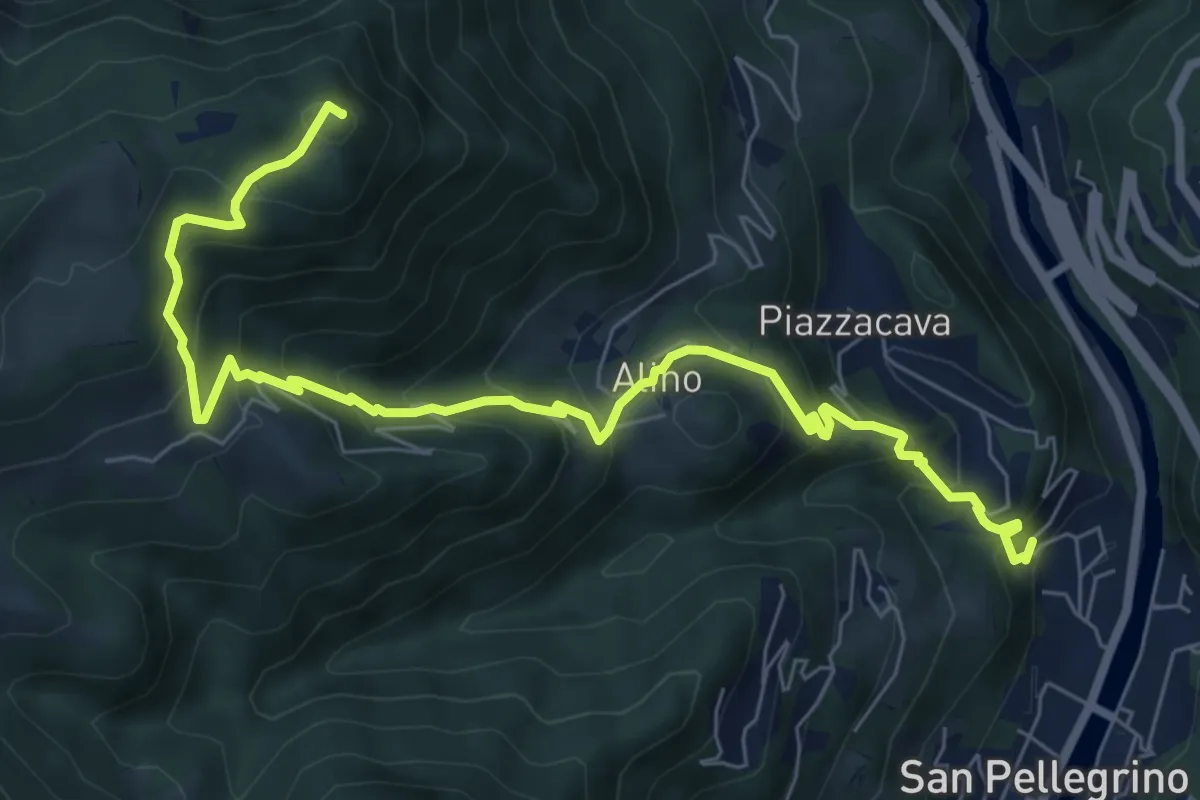
Magnavacche – Castignola di quà
7.3 km · ↑ 582 m · 2 h 59 min · 14 km away
Medium · Summit
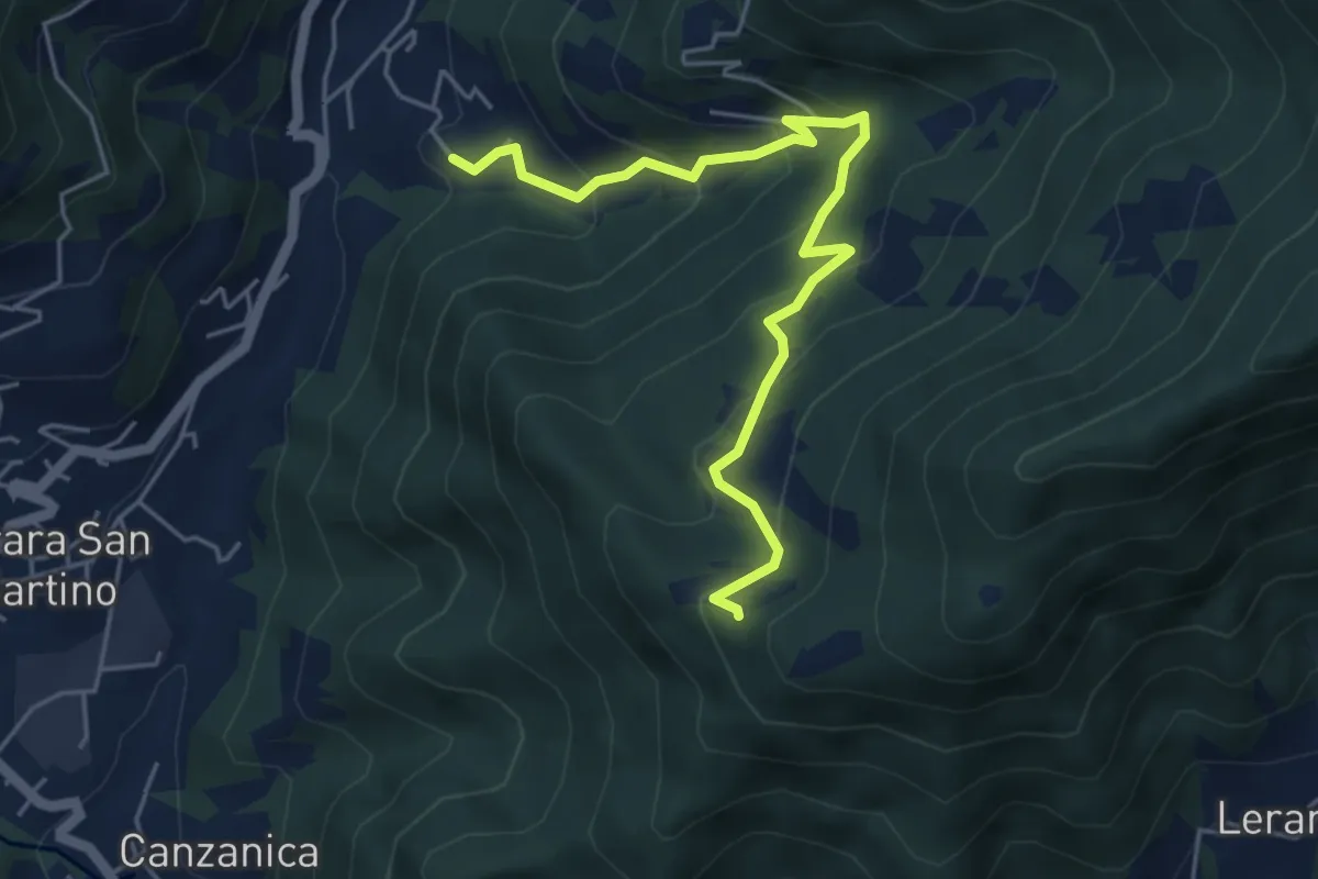
Alino (San Pellegrino) – Monte Molinasco
8.7 km · ↑ 729 m · 3 h 39 min · 14 km away
Medium · Trail
Madonna del Monte Uliveto (Adrara San Martino) – Incrocio 701
5.3 km · ↑ 391 m · 2 h 6 min · 14 km away
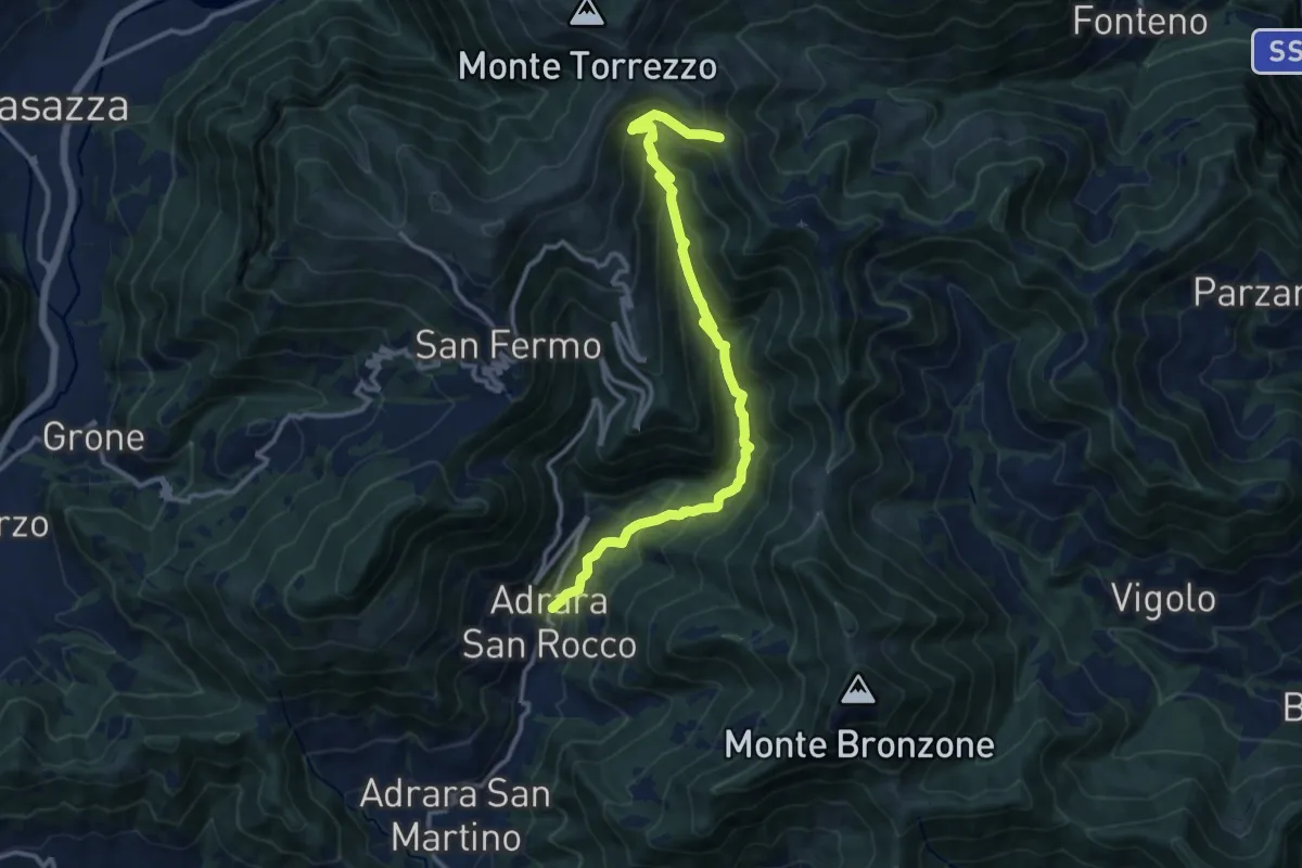
Demanding · Trail
Adrara San Rocco – Cucche
13.1 km · ↑ 886 m · 5 h 1 min · 14 km away
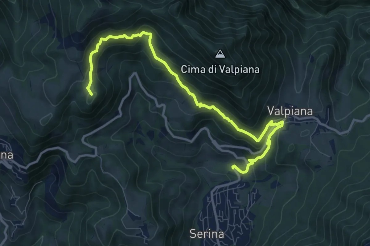
Medium · Summit
Serina – Monte Vaccareggio
9.9 km · ↑ 545 m · 3 h 32 min · 14 km away
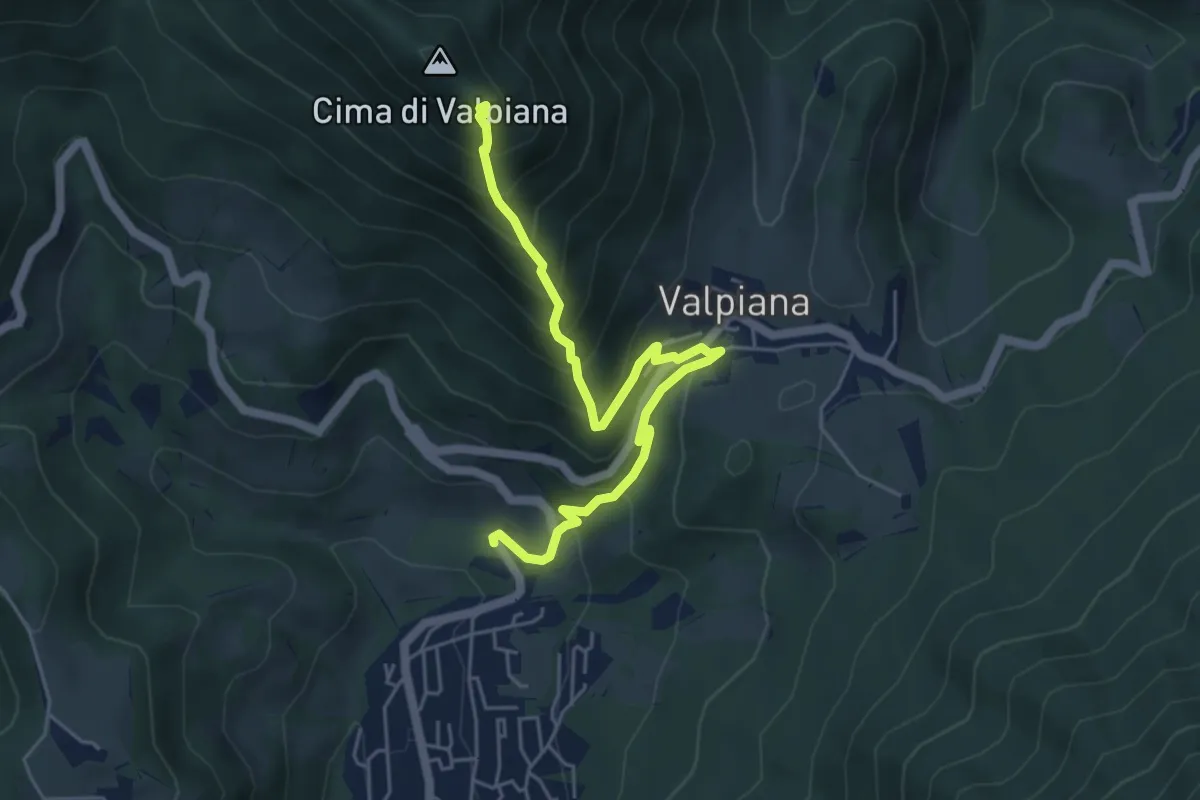
Medium · Trail
Monte Castello – Serina
5.5 km · ↑ 537 m · 2 h 27 min · 14 km away
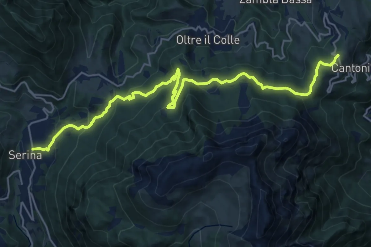
Medium · Trail
Sentiero dei Laghi Basso - Tappa 7
16.7 km · ↑ 750 m · 5 h 35 min · 14 km away
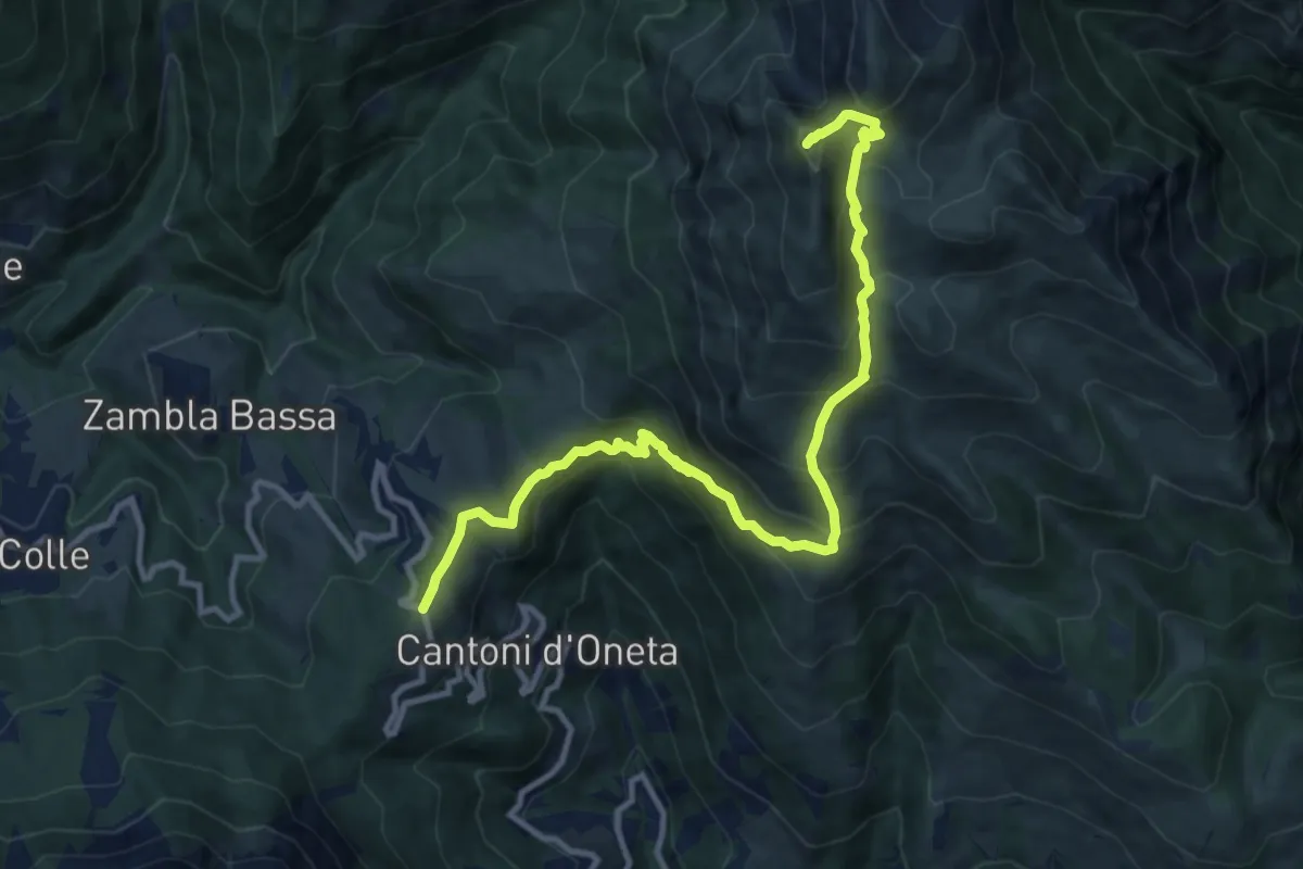
Demanding · Summit
Col di Zambla – Cima di Grem
12.0 km · ↑ 972 m · 4 h 56 min · 14 km away
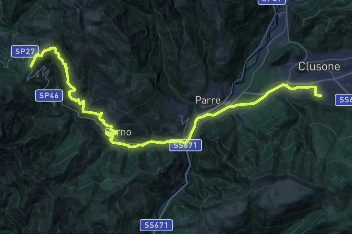
Demanding · Trail
Sentiero dei Laghi Basso - Tappa 8
19.0 km · ↑ 418 m · 6 h · 14 km away
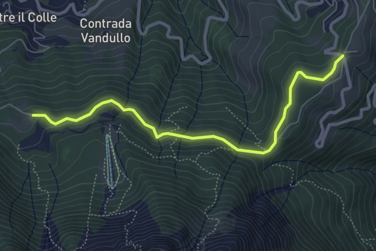
Easy · Trail
Pian della Palla – Passo di Zambla
5.7 km · ↑ 153 m · 1 h 41 min · 14 km away
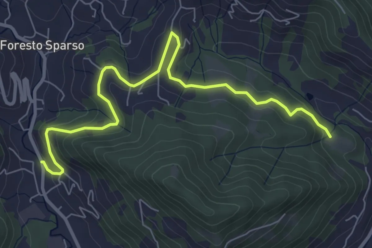
Easy · Trail
L'Immacolata – Dosso dell'Era
7.0 km · ↑ 215 m · 2 h 8 min · 14 km away
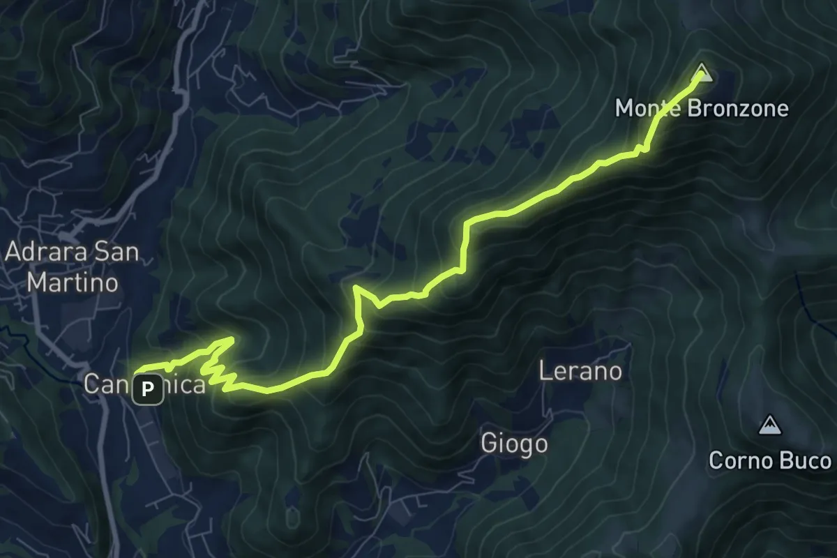
Demanding · Summit
Canzanica (Adrara San Martino) – Monte Bronzone
9.7 km · ↑ 1041 m · 4 h 33 min · 14 km away
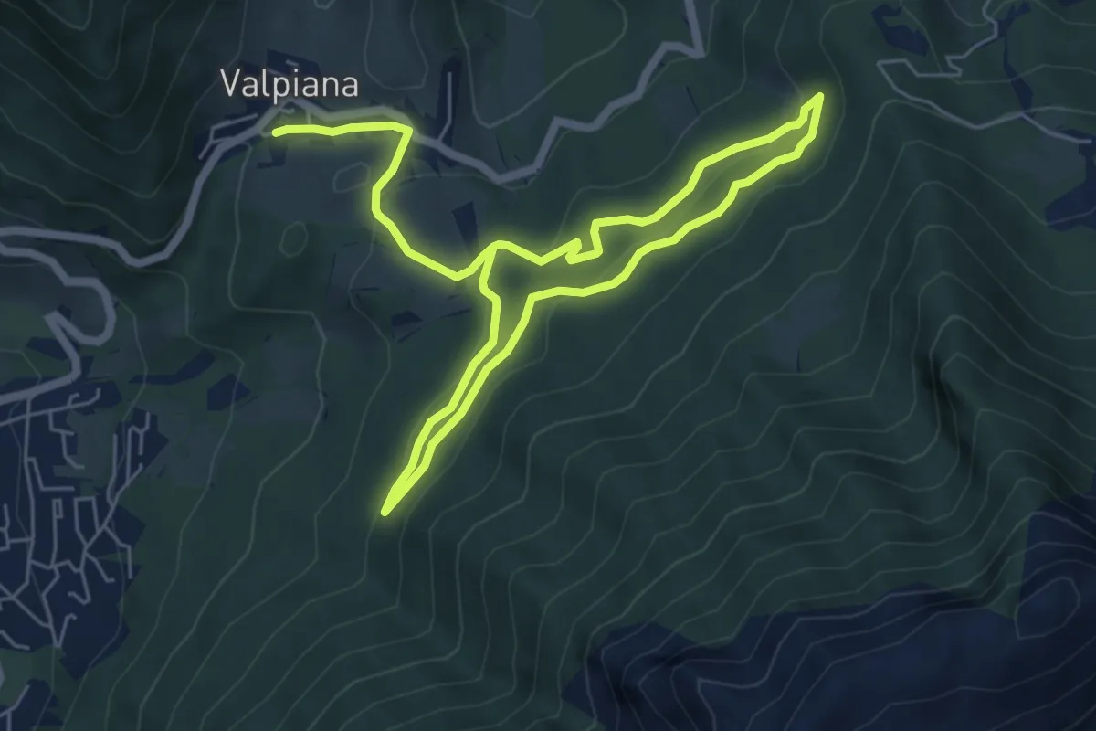
Easy · Trail
Anello Pista Cà di Zocc
5.0 km · ↑ 201 m · 1 h 38 min · 14 km away
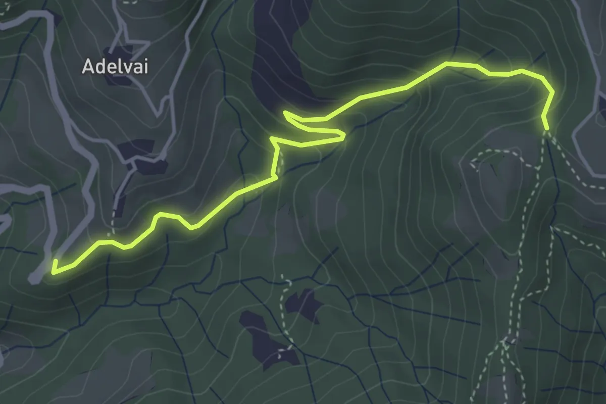
Medium · Trail
Chiesa San Francesco – Corone
4.4 km · ↑ 300 m · 1 h 42 min · 14 km away
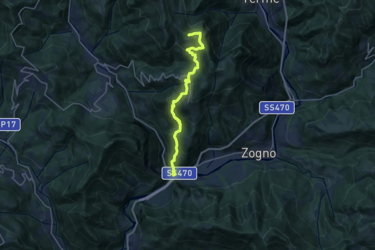
Demanding · Trail
Strada Taverna
13.8 km · ↑ 1035 m · 5 h 30 min · 14 km away