Trails near Amatrice
90 hikes starting within 15 km, nearest first.
Nearest first, page 1 of 2
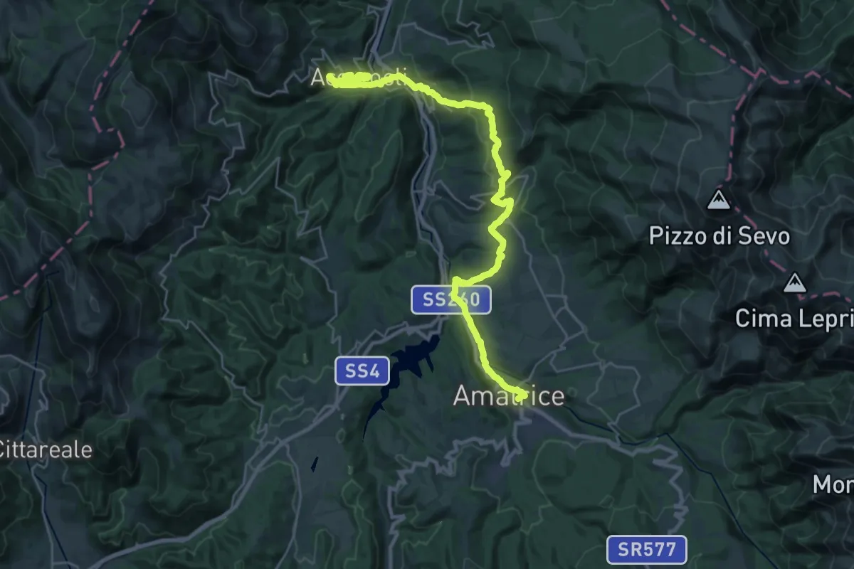
Medium · Trail
CNP - 20 - Accumoli - Amatrice
15.7 km · ↑ 656 m · 5 h 23 min · under 1 km away
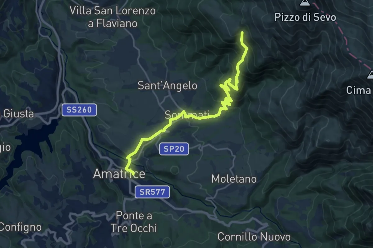
Demanding · Trail
Amatrice (366) - Fonte Cerasa
16.1 km · ↑ 815 m · 5 h 34 min · under 1 km away
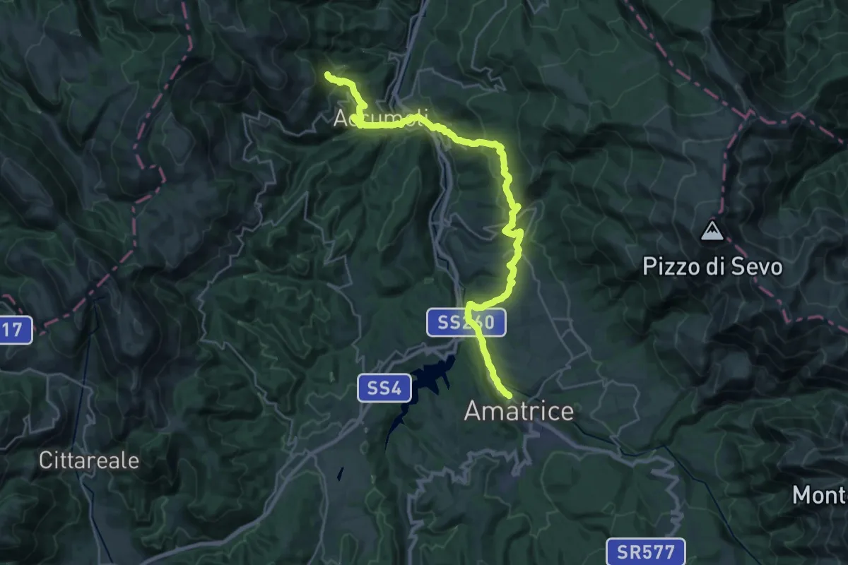
Medium · Trail
Amatrice – Accumoli
15.0 km · ↑ 753 m · 5 h 17 min · under 1 km away
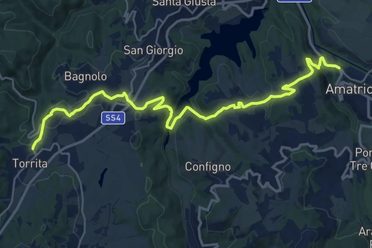
Demanding · Trail
Torrita – Amatrice
18.0 km · ↑ 646 m · 5 h 39 min · under 1 km away
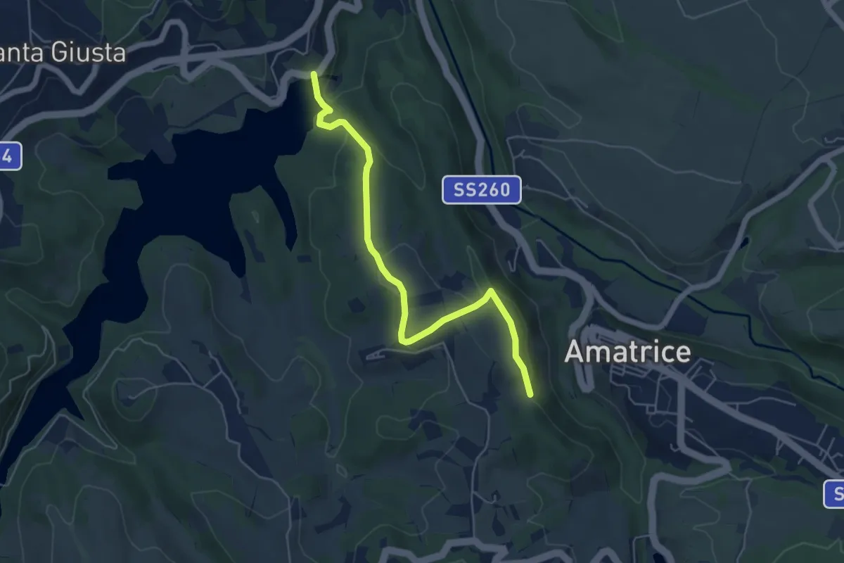
Easy · Trail
Edicola Votiva sotto Ospedale (381) – Diga Scandarello
5.6 km · ↑ 200 m · 1 h 46 min · 1 km away
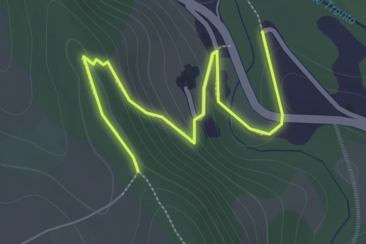
Easy · Trail
Eremo della Croce – Casale Gentile (300)
2.3 km · ↑ 105 m · 46 min · 1 km away
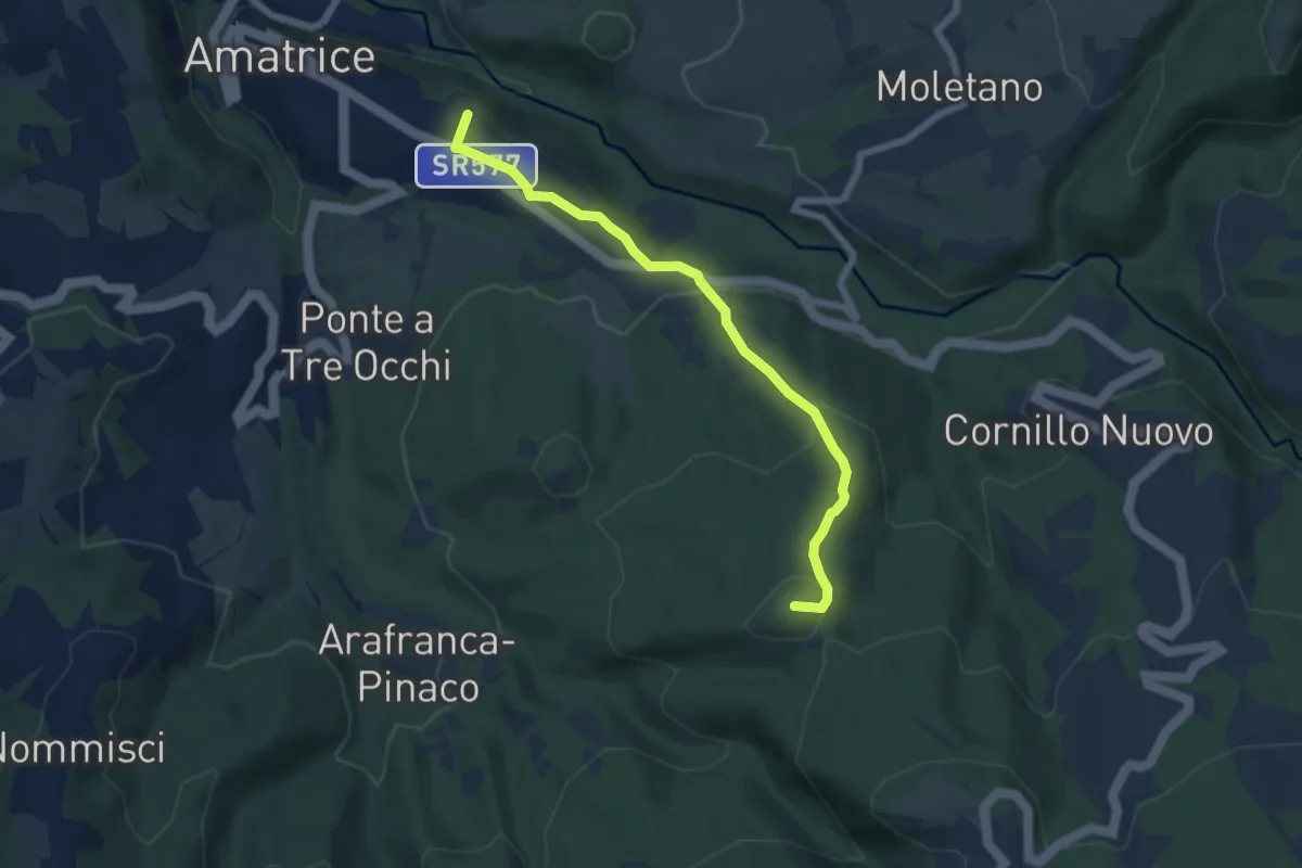
Easy · Summit
Villa San Cipriano di Amatrice – Serreripa
6.5 km · ↑ 285 m · 2 h 10 min · 1 km away
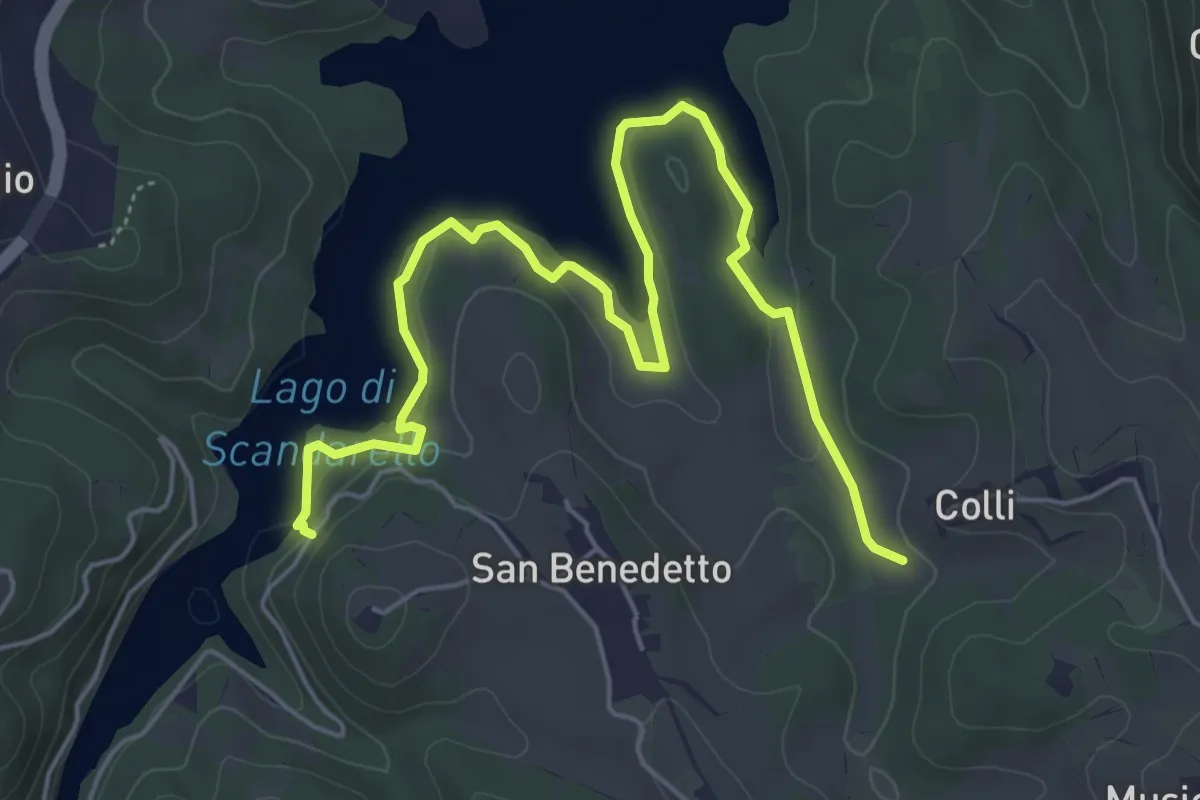
Easy · Trail
Lungo Lago lato San Benedetto
7.2 km · ↑ 245 m · 2 h 14 min · 1 km away
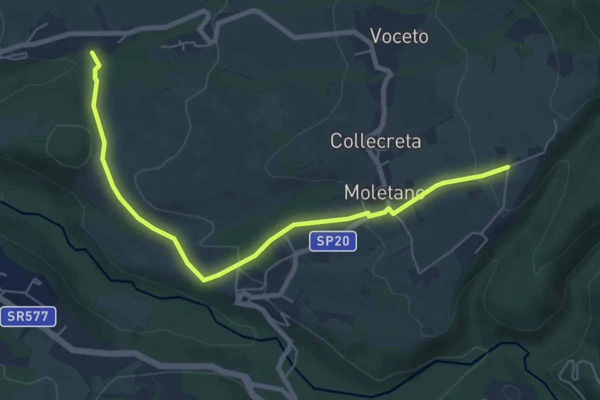
Easy · Trail
Cascello - Francucciano
6.0 km · ↑ 171 m · 1 h 47 min · 2 km away
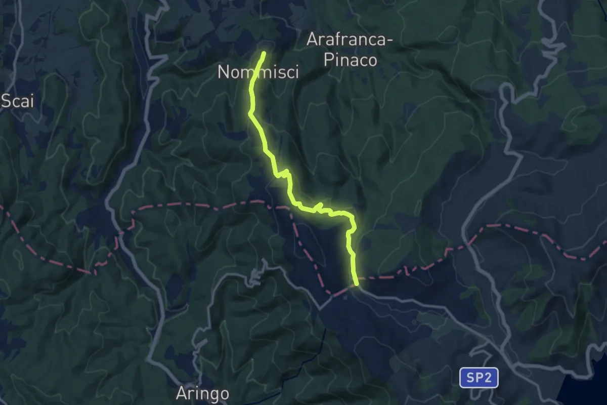
Medium · Trail
Nommisci – ponticello SP 2 Campotosto
10.8 km · ↑ 324 m · 3 h 15 min · 3 km away
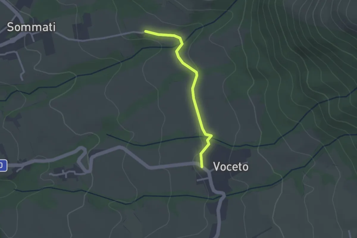
Easy · Trail
Sommati - Molinaro - Voceto
2.4 km · ↑ 19 m · 36 min · 3 km away
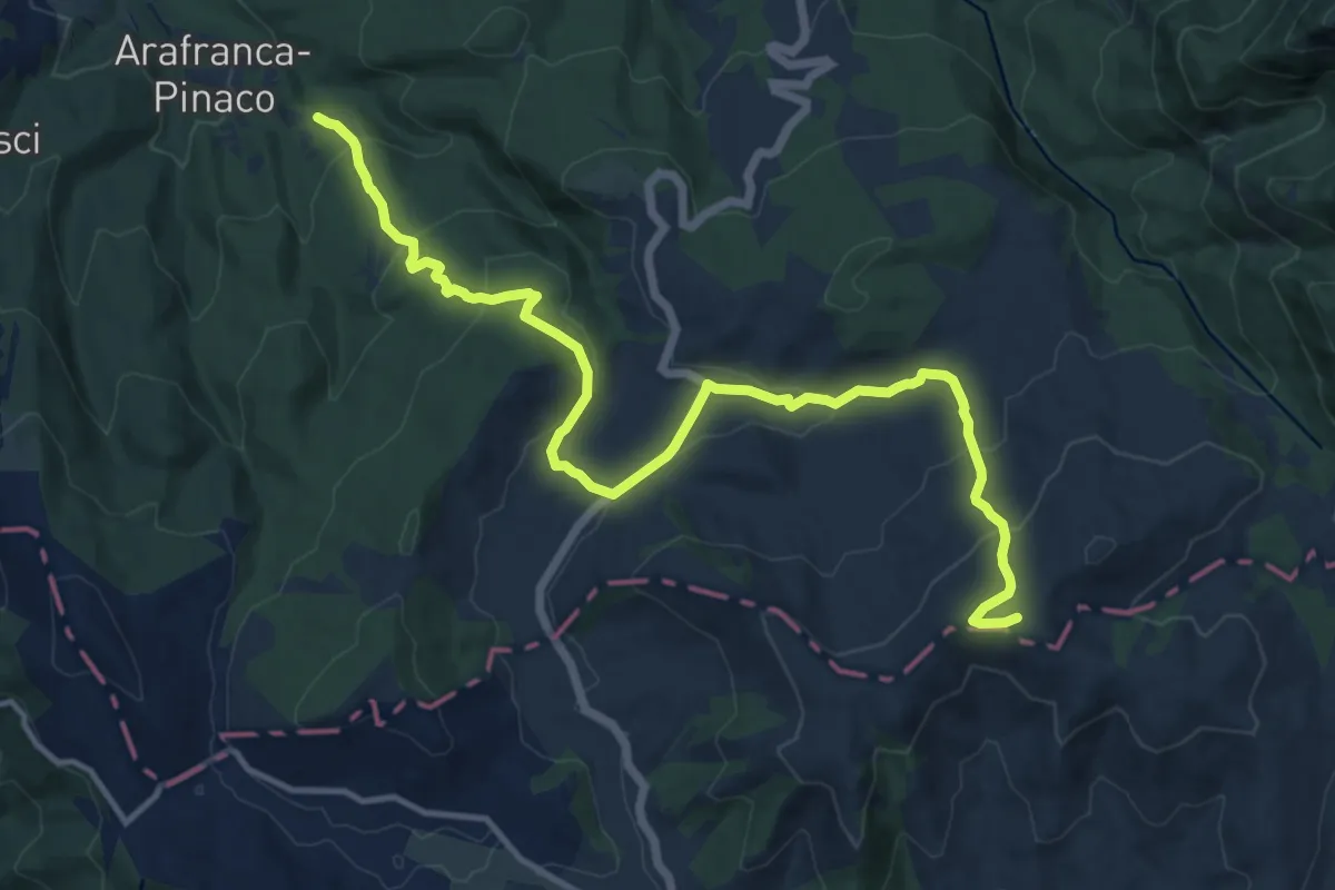
Medium · Summit
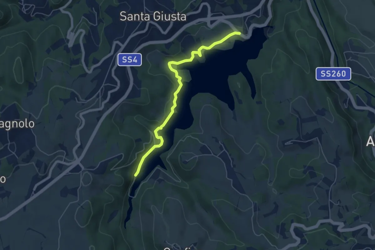
Villa San Cipriano – campotosto
15.6 km · ↑ 686 m · 5 h 10 min · 3 km away
Easy · Trail
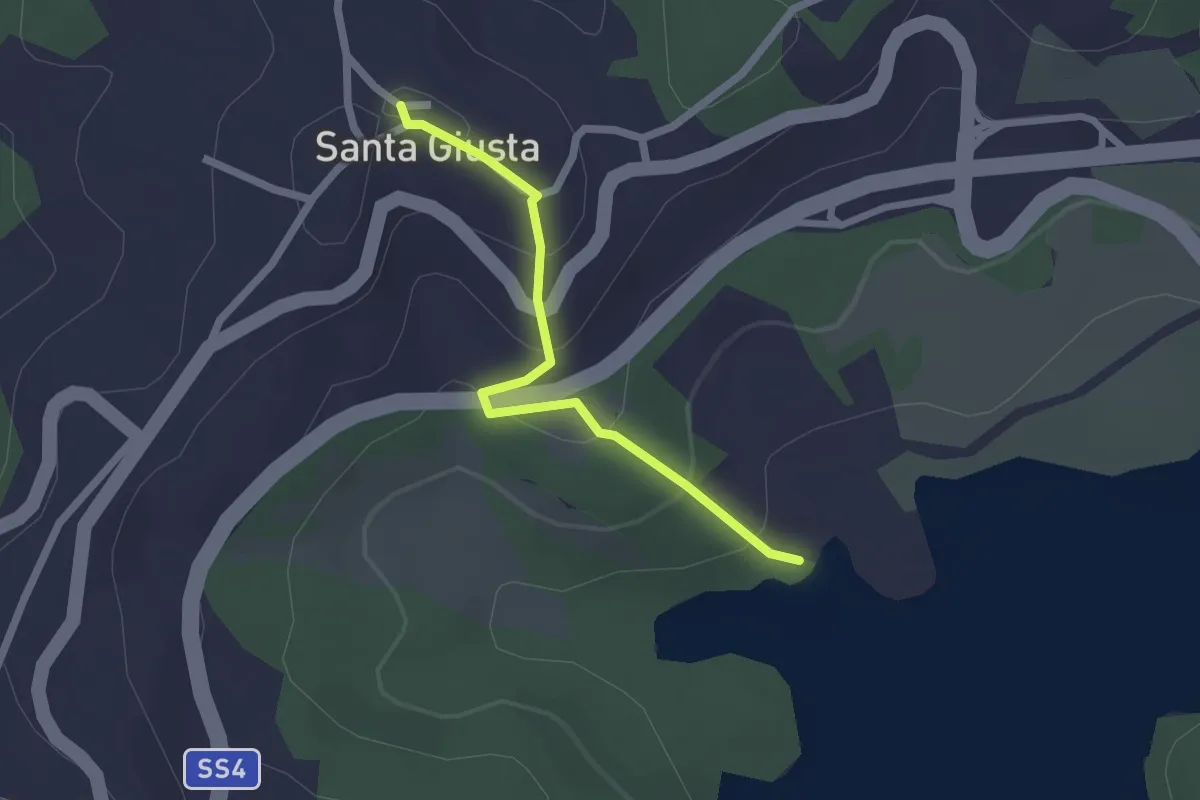
Lungo lago lato Conche
5.8 km · ↑ 152 m · 1 h 42 min · 3 km away
Easy · Trail
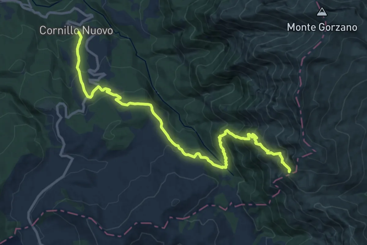
Chiesa di Santa Giusta - Località Conche (381C)
2.1 km · ↑ 125 m · 46 min · 3 km away
Demanding · Trail
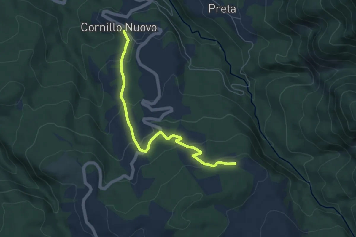
Cornillo Nuovo;Rifugio Le Serre
18.3 km · ↑ 1150 m · 6 h 49 min · 4 km away
Easy · Trail
Cornillo Nuovo - Innesto 364 per le Serre
6.3 km · ↑ 276 m · 2 h 5 min · 4 km away
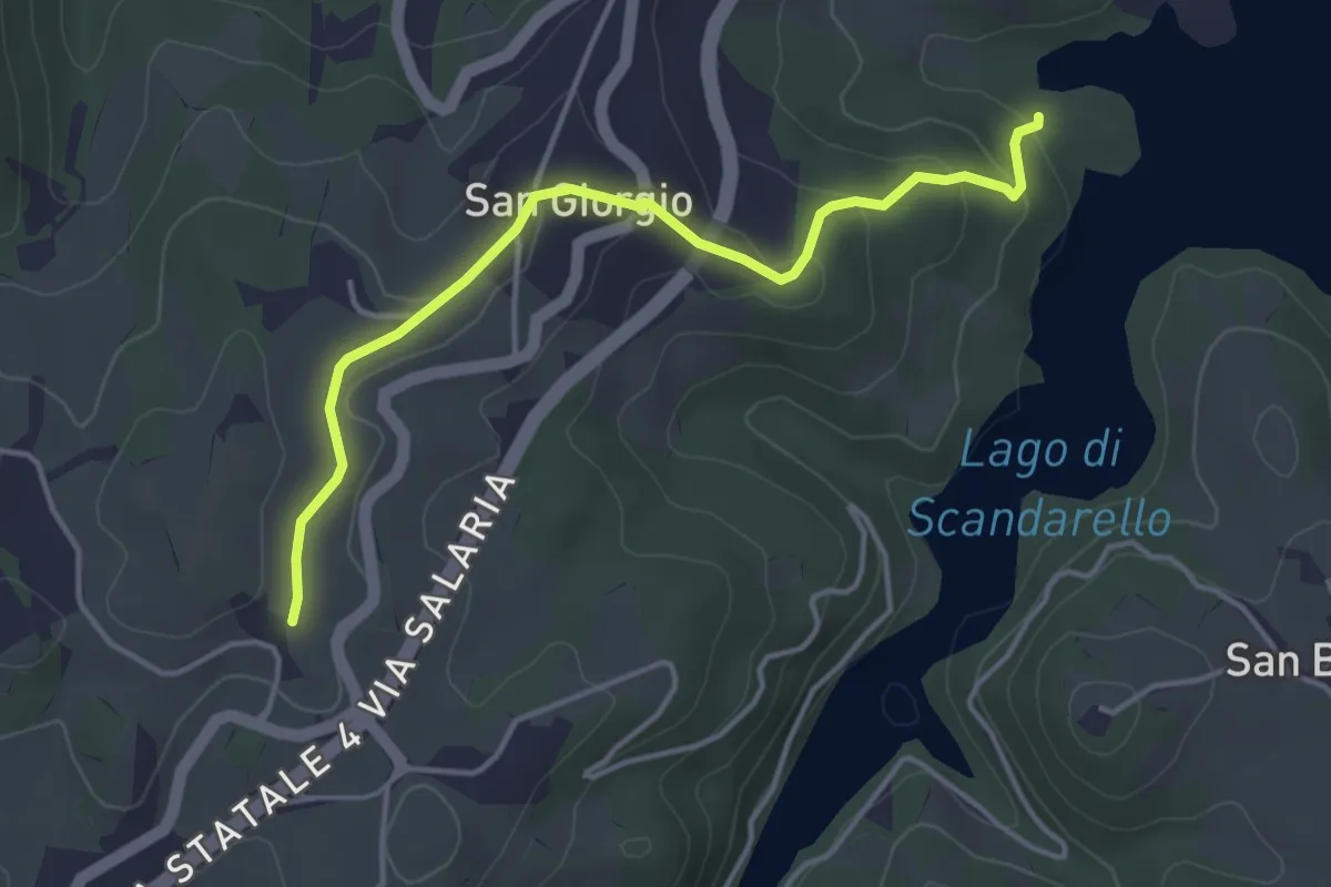
Easy · Trail
bivio 381/SI Vicinanze Casale Sanguigni – Conche (381C)
4.3 km · ↑ 135 m · 1 h 19 min · 4 km away
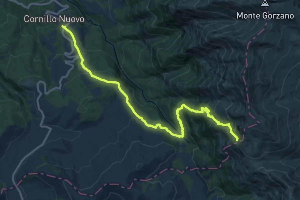
Demanding · Trail
Villa S.Cipriano - ponte Rionero Cornillo Nuovo - Rifugio Le Serre - Sorgenti del Tronto
16.1 km · ↑ 1103 m · 6 h 11 min · 4 km away
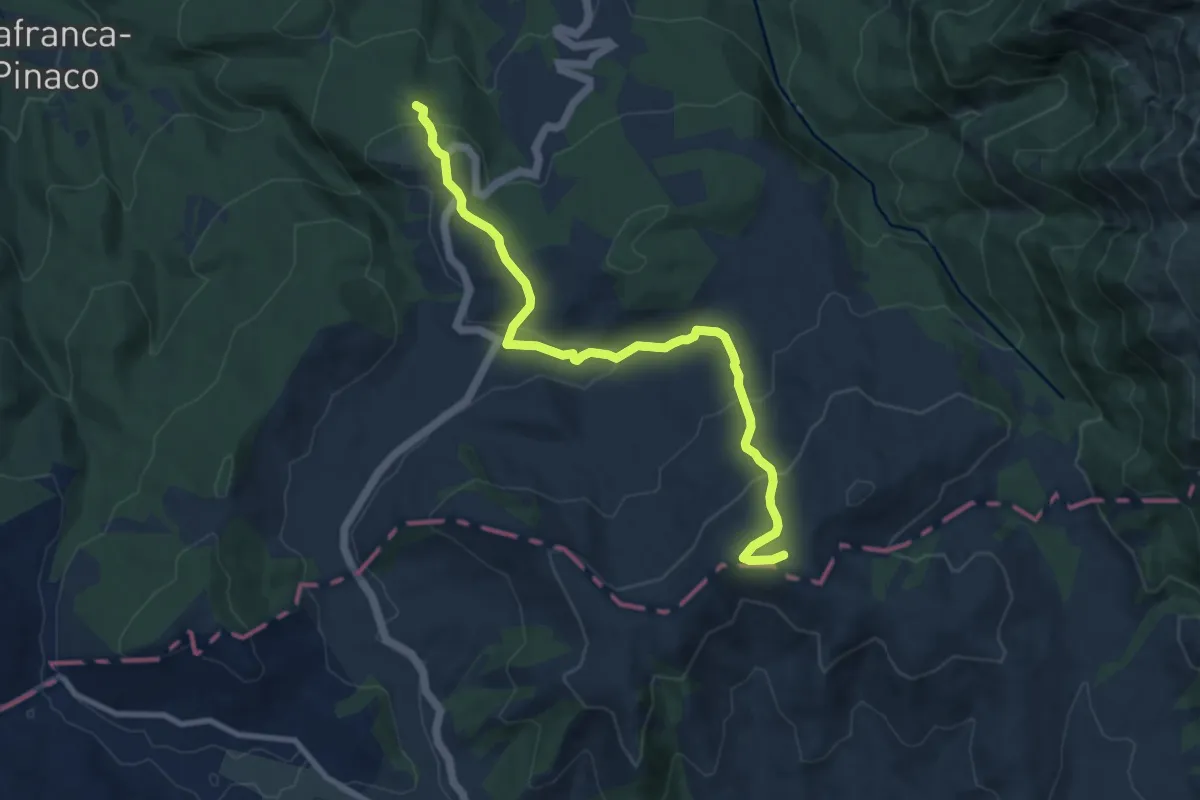
Medium · Summit
Campotosto – Amatrice
10.2 km · ↑ 466 m · 3 h 25 min · 4 km away
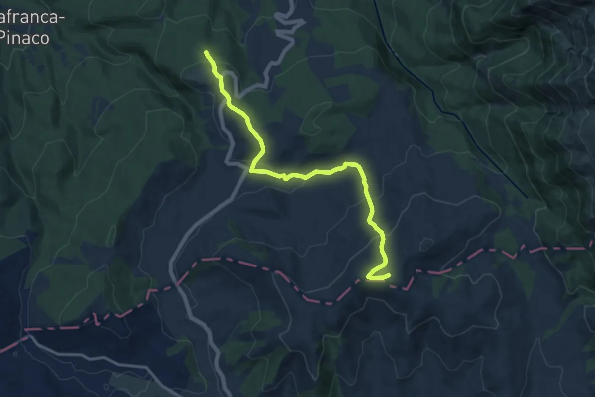
Medium · Summit
CNP - 21 - Amatrice - Campotosto
10.2 km · ↑ 460 m · 3 h 24 min · 4 km away
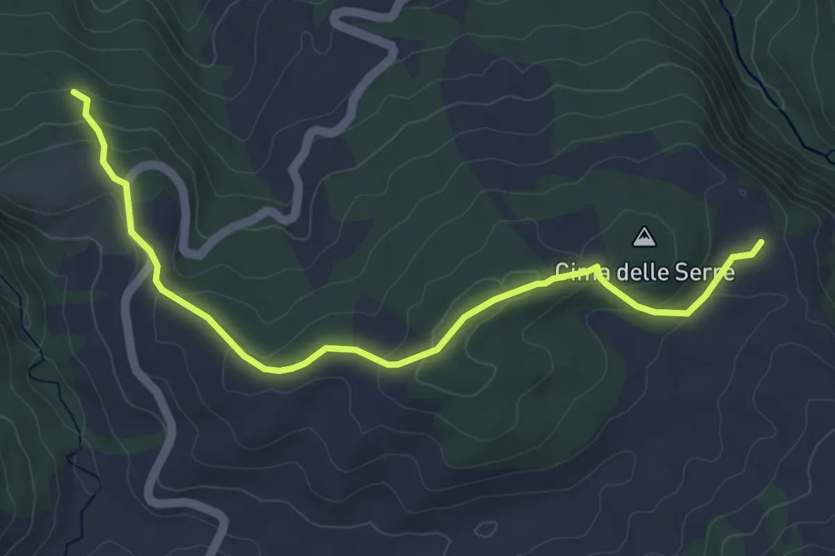
Easy · Cabin
Amatrice - Ponte a Tre Occhi - San Lorenzo - rif. le Serre
6.3 km · ↑ 192 m · 1 h 55 min · 4 km away
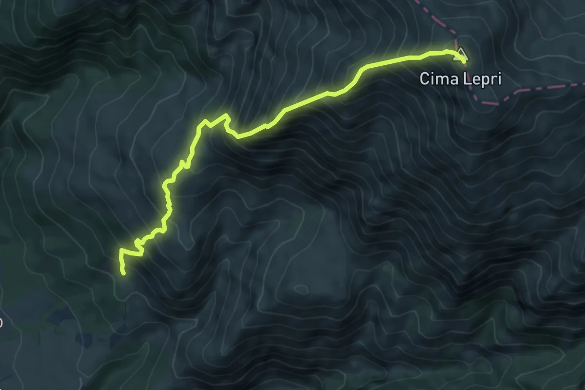
Demanding · Summit
Chiesa medioevale di San Martino - La Croce - Fonte Moro - Monte Cima Lepri
7.8 km · ↑ 1161 m · 4 h 22 min · 4 km away
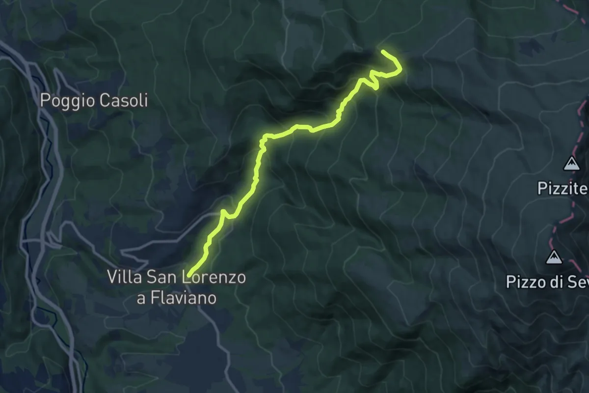
Demanding · Trail
San Lorenzo a Flaviano (innsesto SI O20) – Inversaturo (innesto 374)
10.6 km · ↑ 806 m · 4 h 16 min · 4 km away
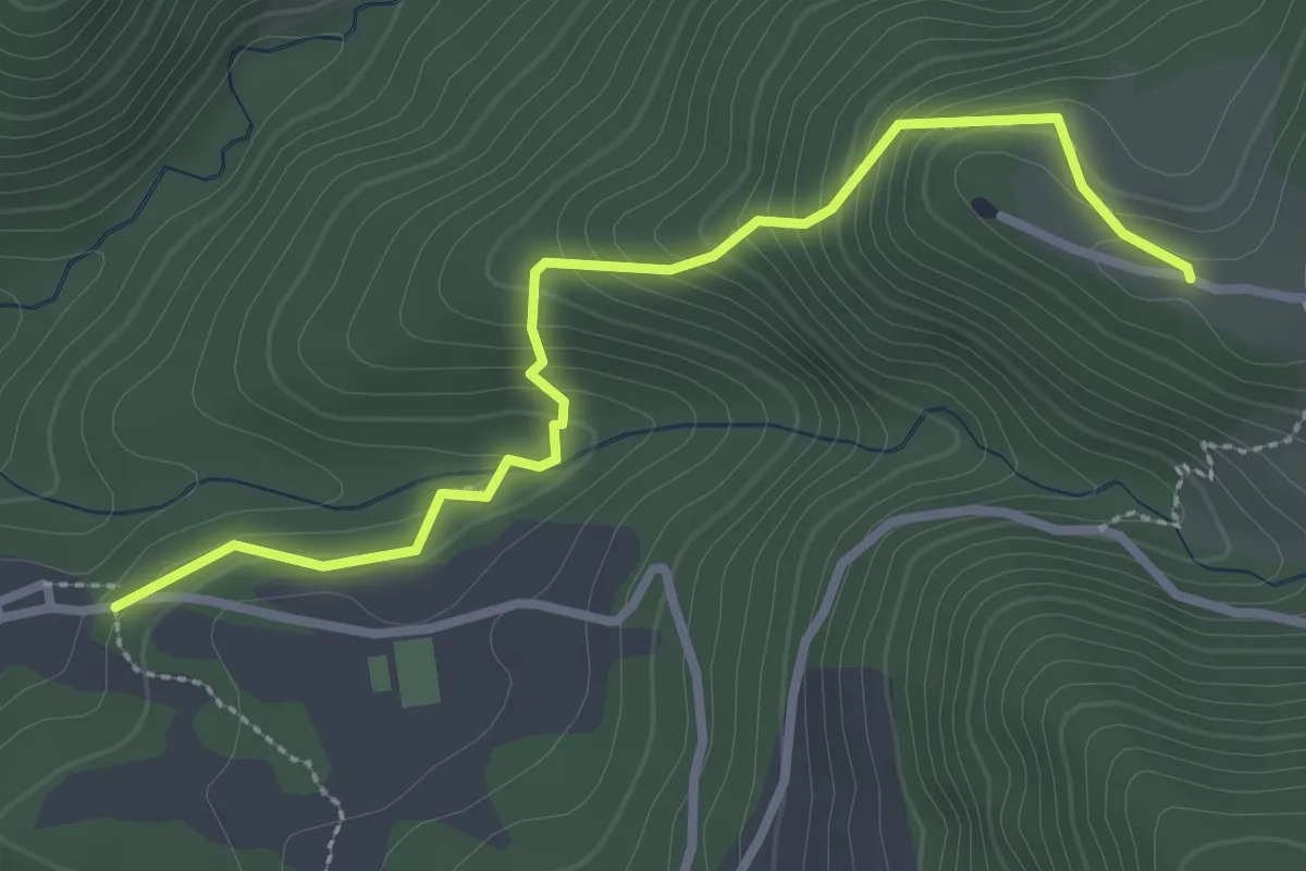
Easy · Trail
Capricchia "La Crocetta" - Fonte Petri - Casale - Capraturo - parcheggio Sacro Cuore
3.2 km · ↑ 228 m · 1 h 15 min · 4 km away
Easy · Trail
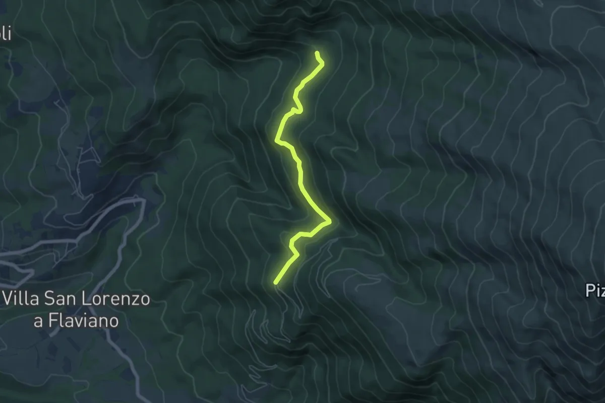
Bivio Strada Macchie Piane – Prese d'acqua del Bosco di sant'Egidio
5.6 km · ↑ 299 m · 1 h 58 min · 5 km away
Easy · Trail
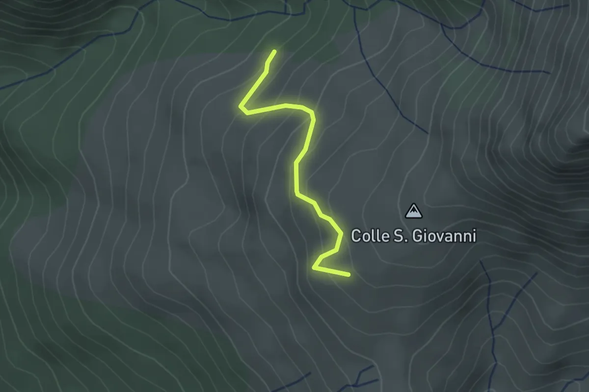
innesto 366 – Croce di Voceto
2.2 km · ↑ 193 m · 57 min · 5 km away
Medium · Trail
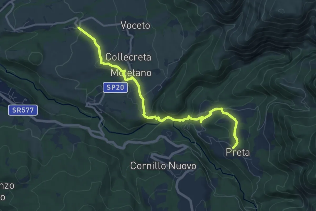
Collepagliuca - Moletano - Icona Passatora - Capricchia - Preta
9.0 km · ↑ 327 m · 2 h 50 min · 5 km away
Medium · Trail
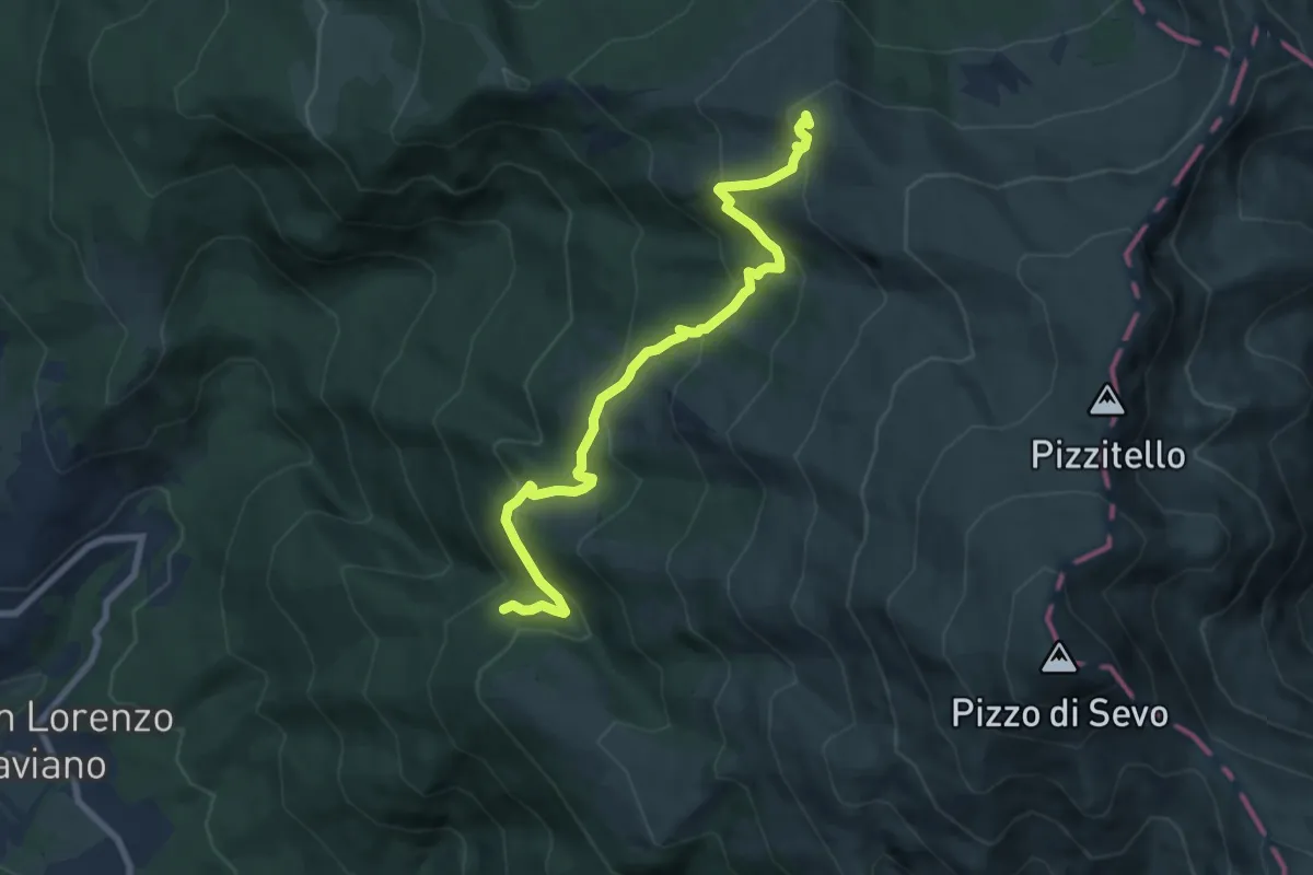
Settefonti - Il Sorbo - Stazzi di San Lorenzo - Pizzo di Sevo
8.7 km · ↑ 519 m · 3 h 10 min · 5 km away
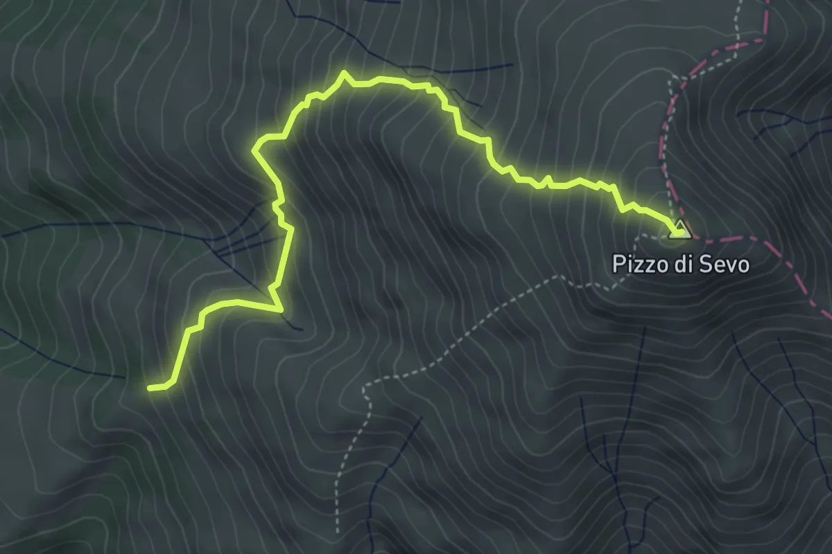
Medium · Summit
Macchie Piane (E3714) - Quarti - Pizzo di Sevo
5.4 km · ↑ 662 m · 2 h 42 min · 5 km away
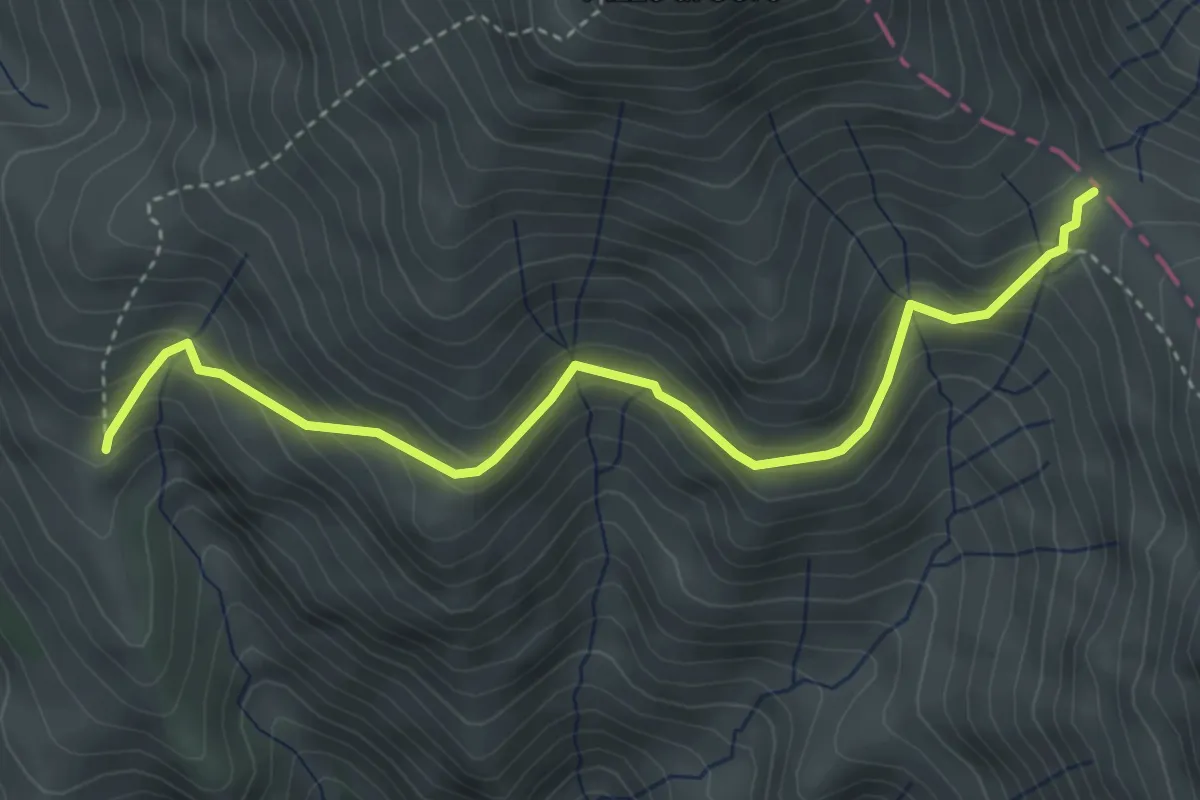
Medium · Trail
innesto 372 - S. Angelo - Galloro - macchie Piane - Forca
4.4 km · ↑ 348 m · 1 h 48 min · 5 km away
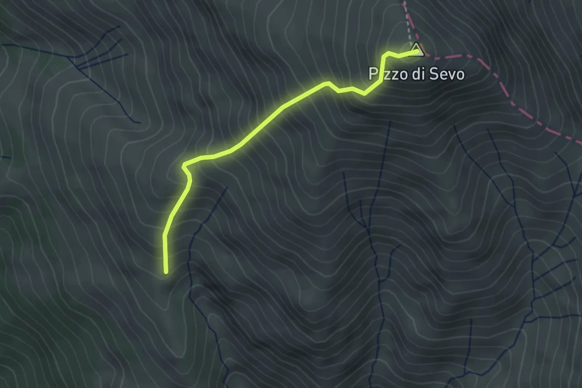
Demanding · Summit
Caprini - Pizzo di Sevo
3.1 km · ↑ 556 m · 1 h 56 min · 5 km away
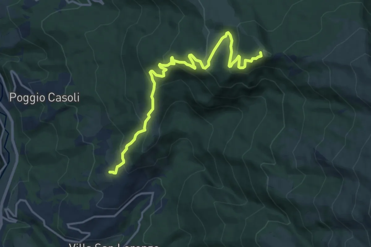
Medium · Summit
Collalto - Rif. Inversaturo
11.9 km · ↑ 632 m · 4 h 11 min · 5 km away
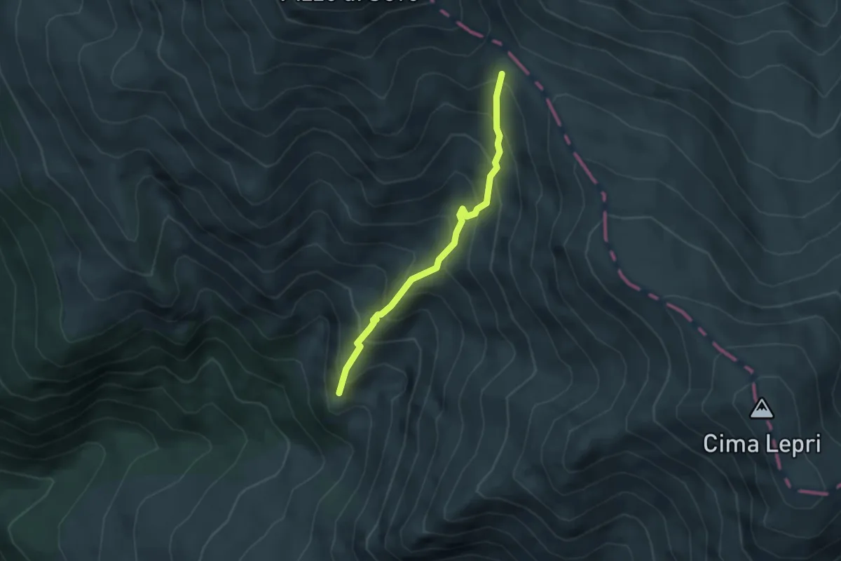
Medium · Trail
Amatrice Giardini Pubblici – Forca Vado di Annibale
3.4 km · ↑ 443 m · 1 h 46 min · 5 km away
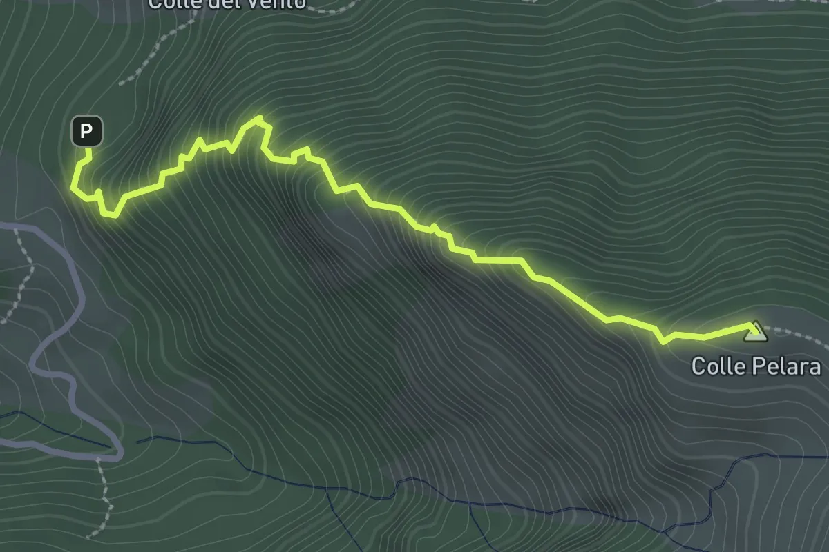
Medium · Summit
Sacro Cuore – Stazzo di Gorzano
3.1 km · ↑ 465 m · 1 h 44 min · 6 km away
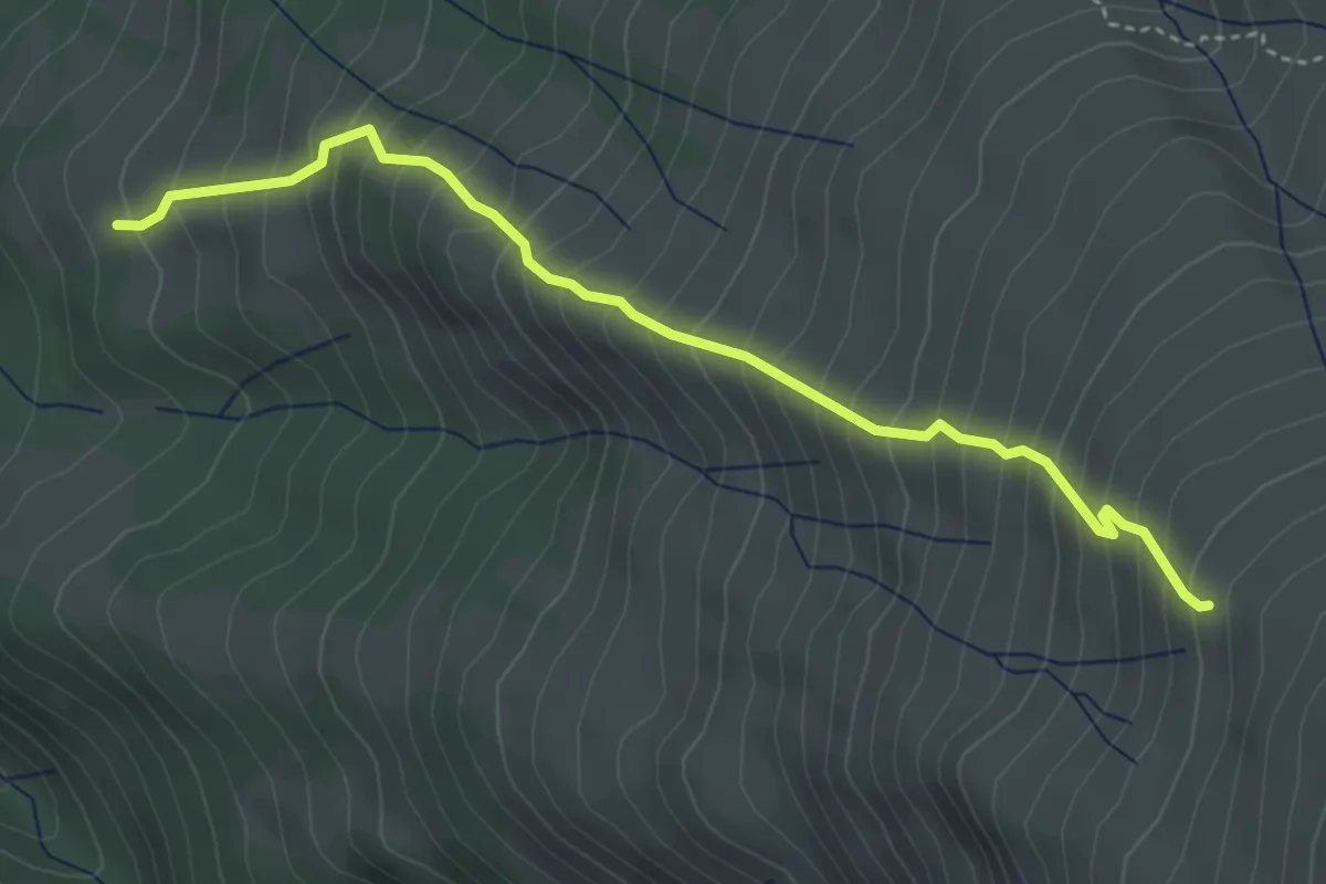
Medium · Trail
Settefonti - Quota 2157 di Pizzo d Sevo
4.4 km · ↑ 622 m · 2 h 24 min · 6 km away
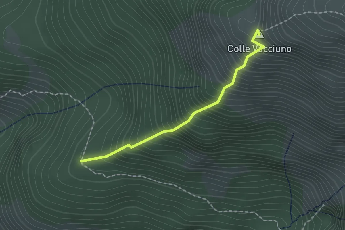
Medium · Summit
Percorso 368 - Colle Innamorato – Percorso 365
1.6 km · ↑ 368 m · 1 h 11 min · 6 km away
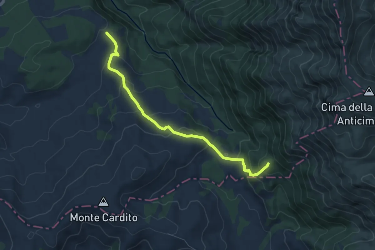
Medium · Summit
Rifugio le Serre – Sorgente del Tronto
7.1 km · ↑ 330 m · 2 h 23 min · 6 km away
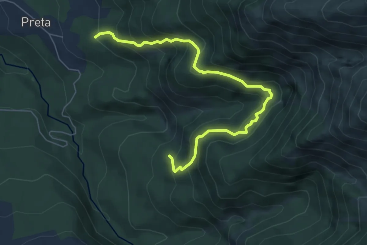
Medium · Trail
Preta – Soppo
6.3 km · ↑ 571 m · 2 h 44 min · 6 km away
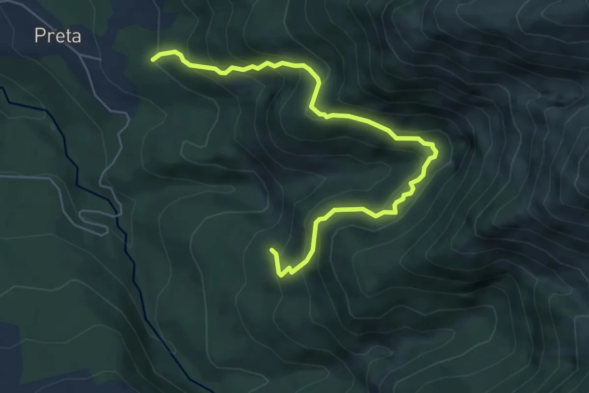
Medium · Trail
Cascata di Ortanza
6.3 km · ↑ 571 m · 2 h 44 min · 6 km away
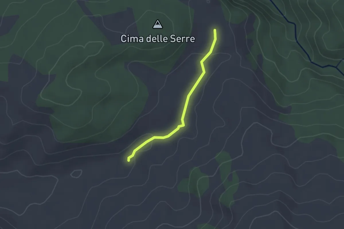
Easy · Cabin
innesto su Sentiero 359 – Rifugio le Serre
2.3 km · ↑ 27 m · 36 min · 6 km away
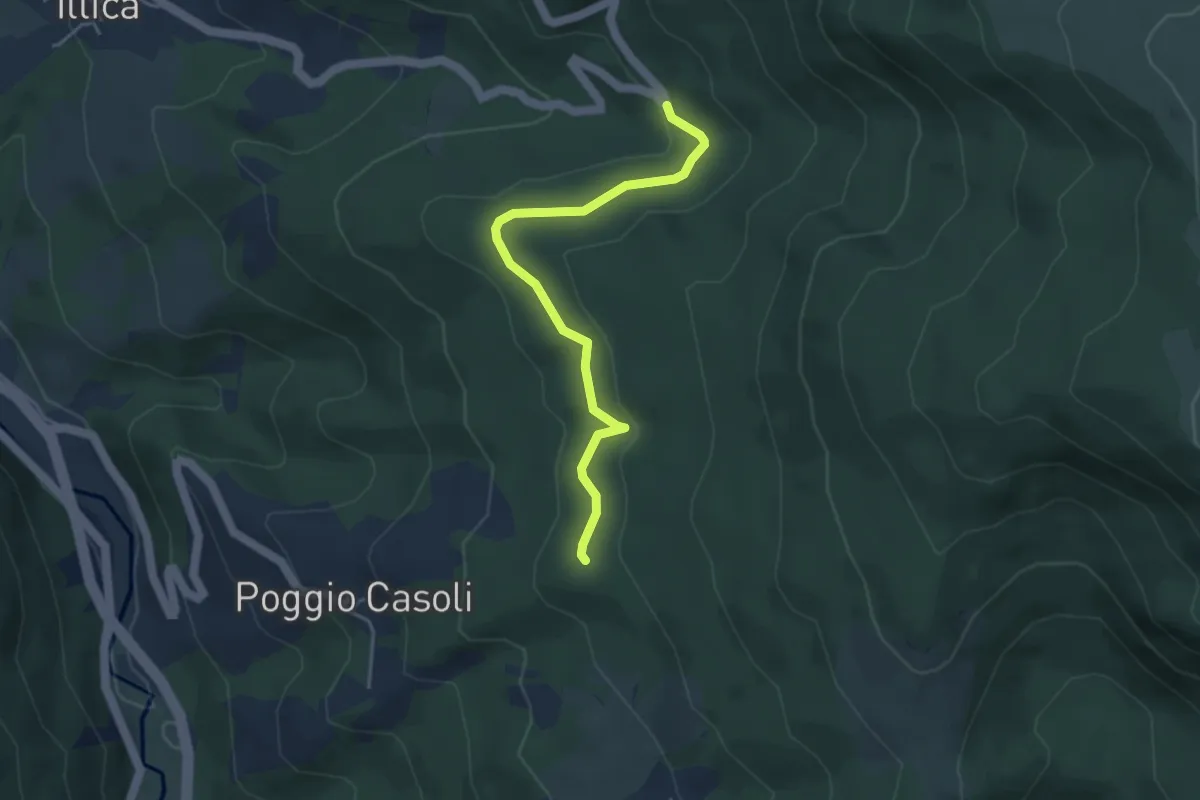
Easy · Trail
Poggio Casoli (E300) – Tornante Vallenova
4.2 km · ↑ 108 m · 1 h 14 min · 7 km away
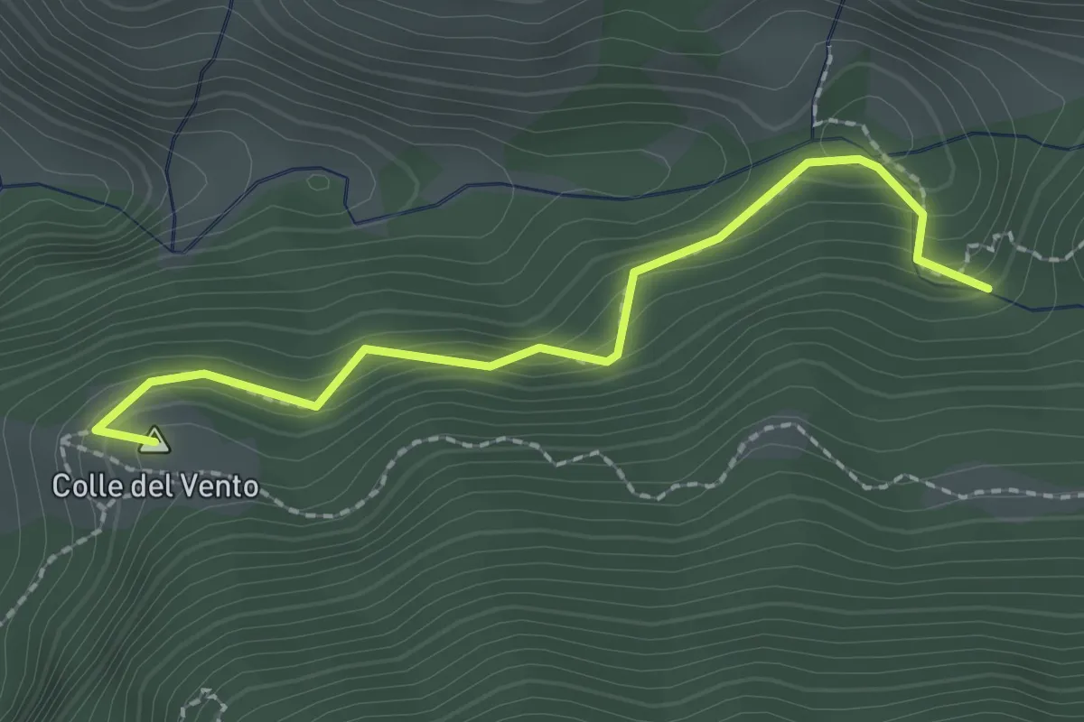
Easy · Summit
Colle del Vento - Cascata delle Barche - Treccino Bassa
2.2 km · ↑ 213 m · 1 h · 7 km away
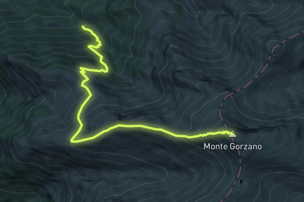
Demanding · Summit
Bivio Selva Grande – Monte Gorzano
8.2 km · ↑ 880 m · 3 h 51 min · 7 km away
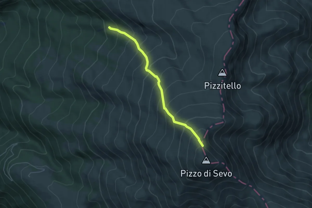
Medium · Trail
Settefonti innesto 377 – Pizzo di Sevo
4.6 km · ↑ 563 m · 2 h 18 min · 7 km away
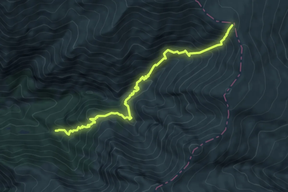
Demanding · Trail
Fosso il Gorzano (bivio 300) - Sella della Solagna (bivio 301)
8.7 km · ↑ 952 m · 4 h 7 min · 7 km away
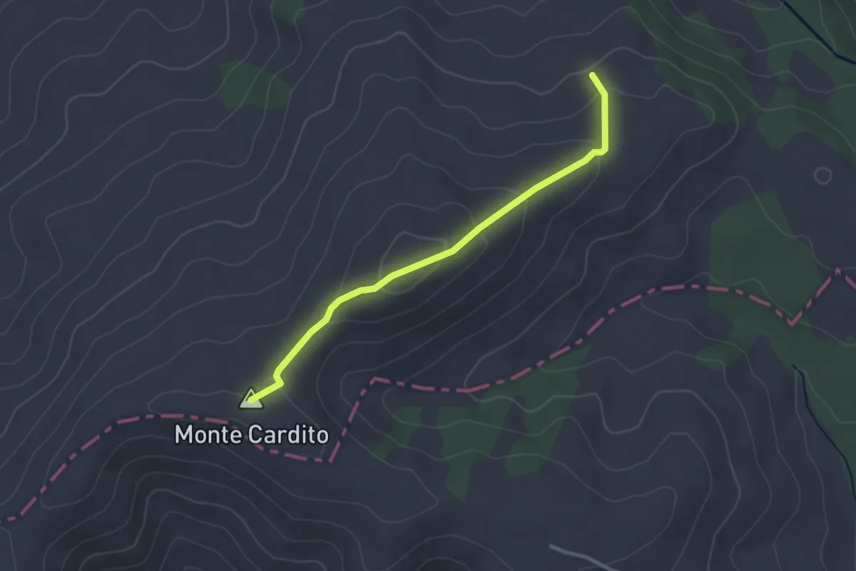
Easy · Summit
Innesto su E360 – Innesto su E359
3.0 km · ↑ 143 m · 1 h 1 min · 8 km away
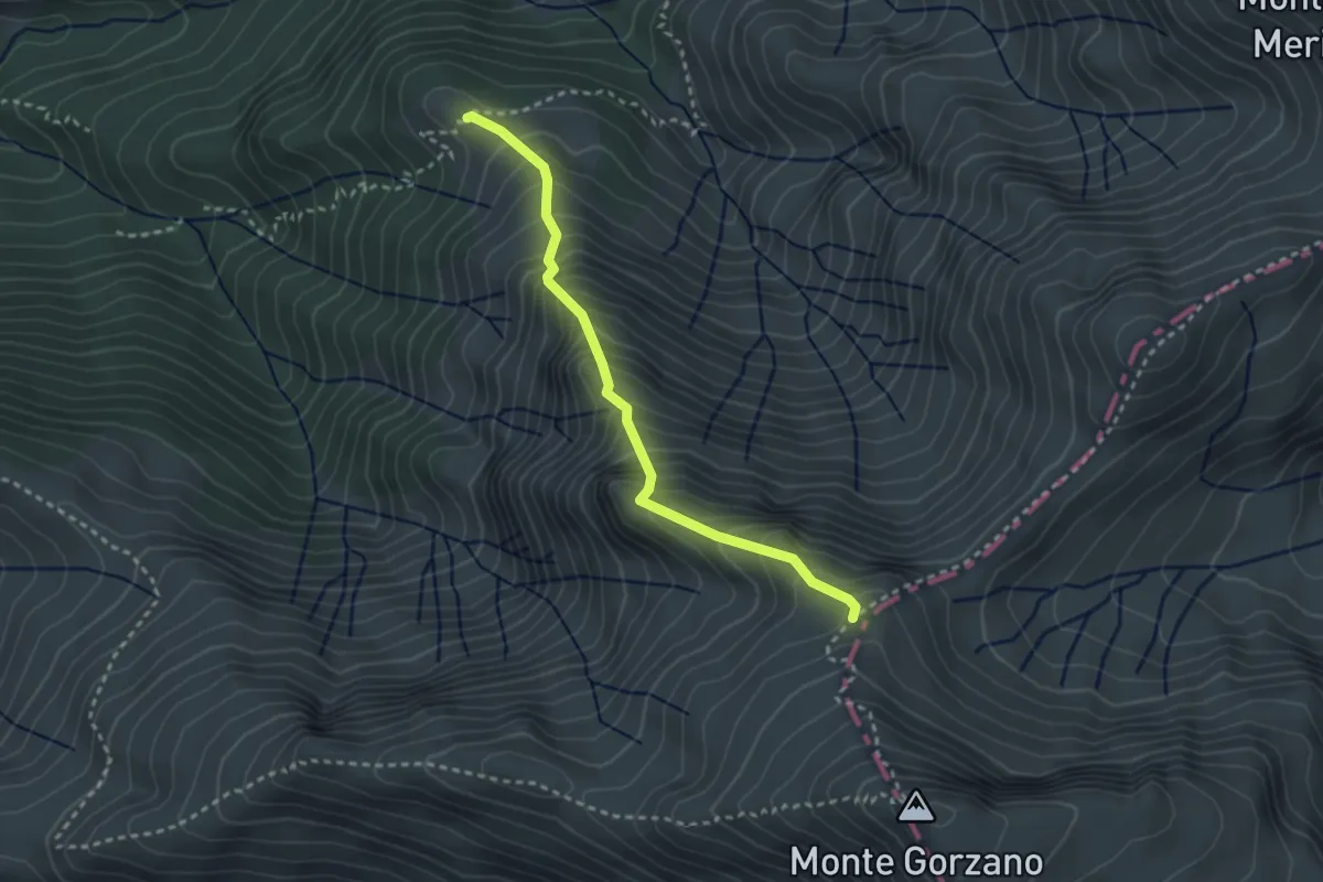
Medium · Trail
Colle della Pacina (bivio 337) - incrocio con il 301 per il Monte Gorzano
3.0 km · ↑ 479 m · 1 h 45 min · 8 km away
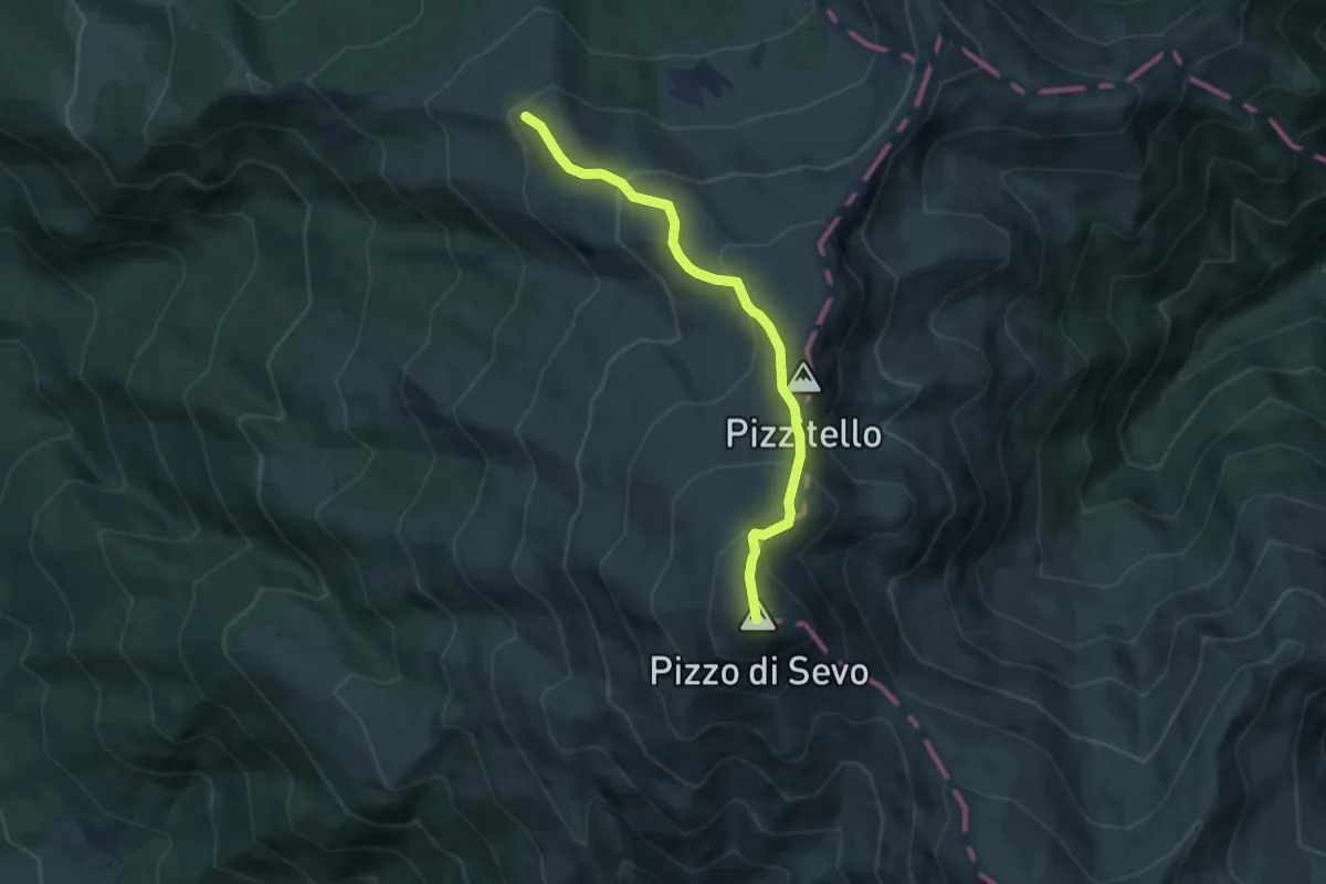
Medium · Trail
Inversaturo – Pizzo di Sevo
7.0 km · ↑ 500 m · 2 h 44 min · 8 km away