Trails near Amatrice
90 hikes starting within 15 km, nearest first.
Nearest first, page 2 of 2
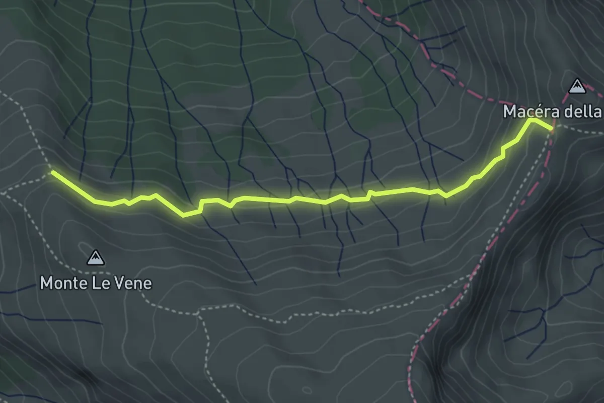
Medium · Trail
Fonte del Campo – Macera della Morte (innesto301)
4.3 km · ↑ 192 m · 1 h 26 min · 8 km away
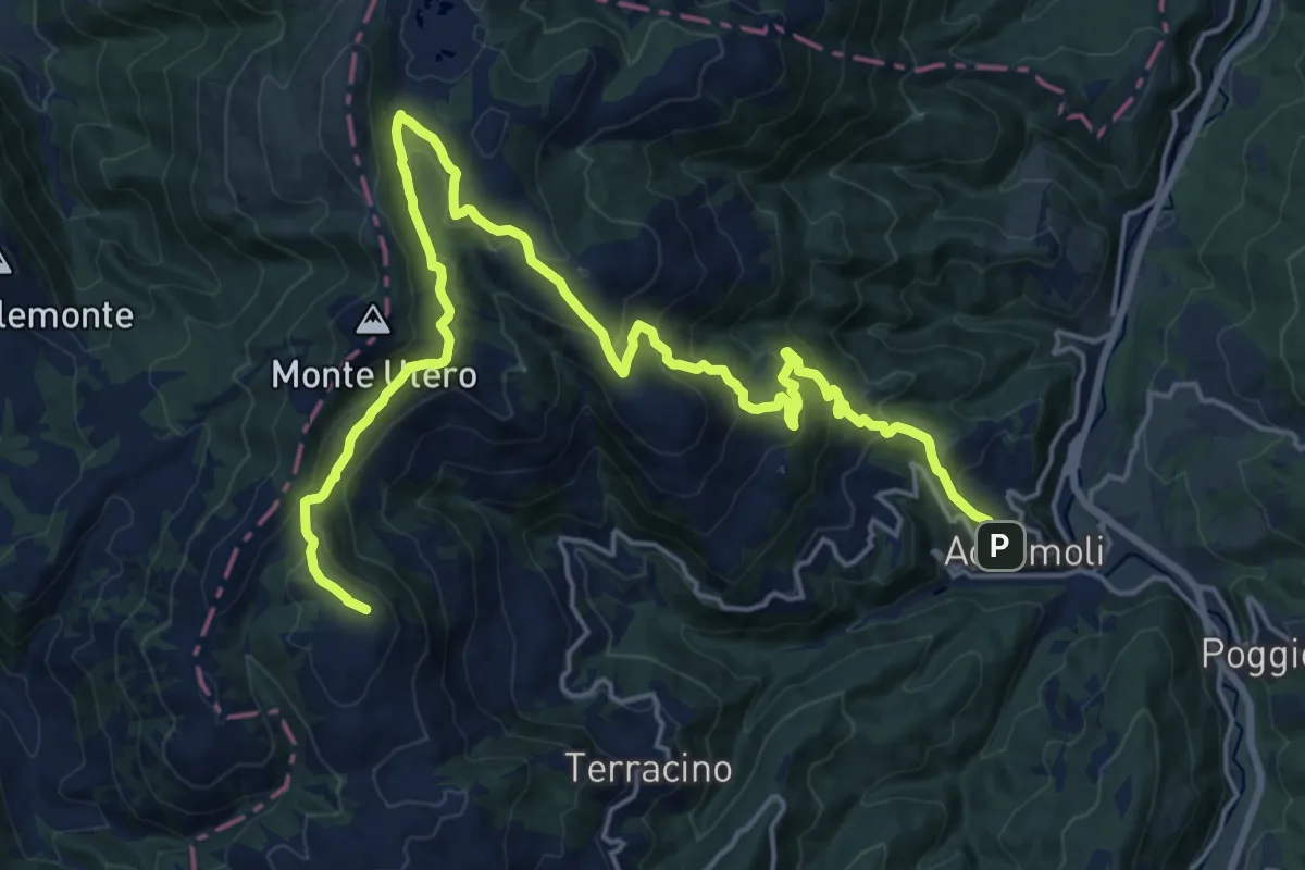
Demanding · Summit
CNP - 19 - Cittareale - Accumoli
25.3 km · ↑ 1210 m · 8 h 36 min · 8 km away
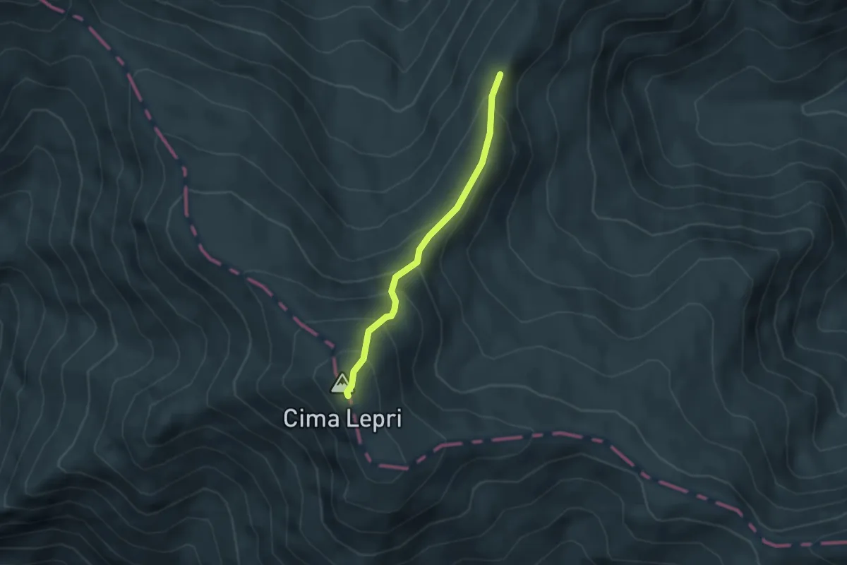
Medium · Summit
Cima La Rocchetta-Cima Lepri
3.1 km · ↑ 329 m · 1 h 27 min · 8 km away
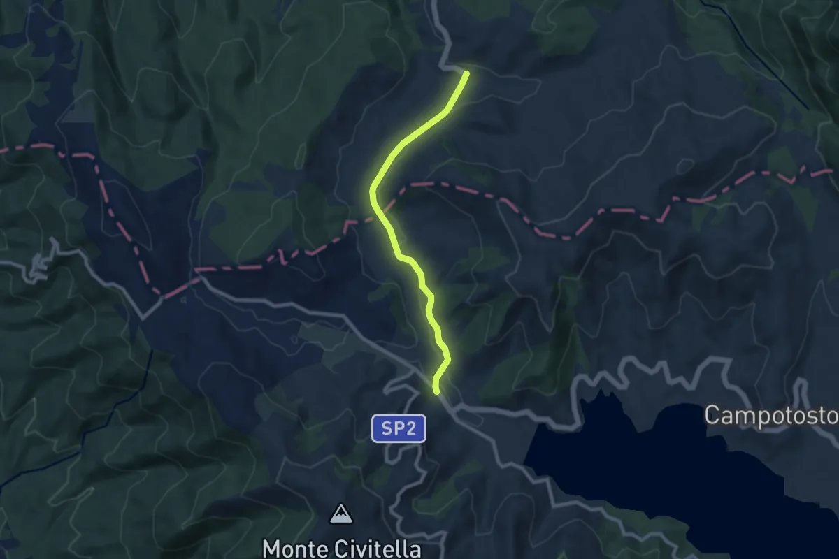
Easy · Trail
Rifugio Cardito – Poggio Cancelli
7.8 km · ↑ 87 m · 2 h 1 min · 8 km away
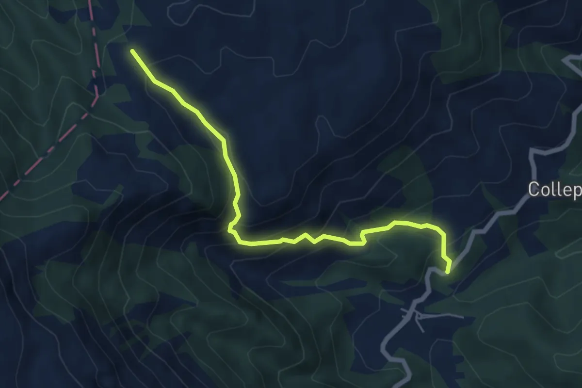
Medium · Trail
Cimitero Roccasalli – Forca San Leonardo (391)
5.5 km · ↑ 415 m · 2 h 11 min · 8 km away
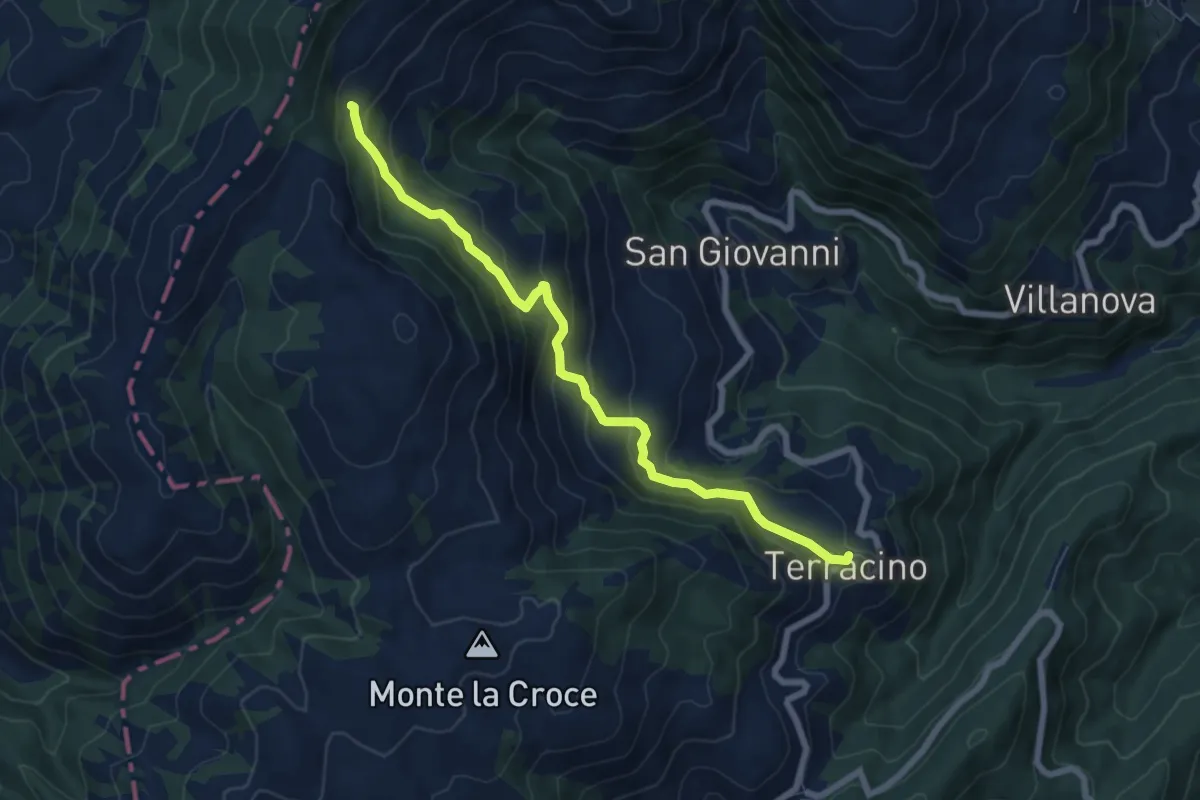
Medium · Cabin
Terracino - Rifugio Tosti
7.4 km · ↑ 411 m · 2 h 39 min · 8 km away
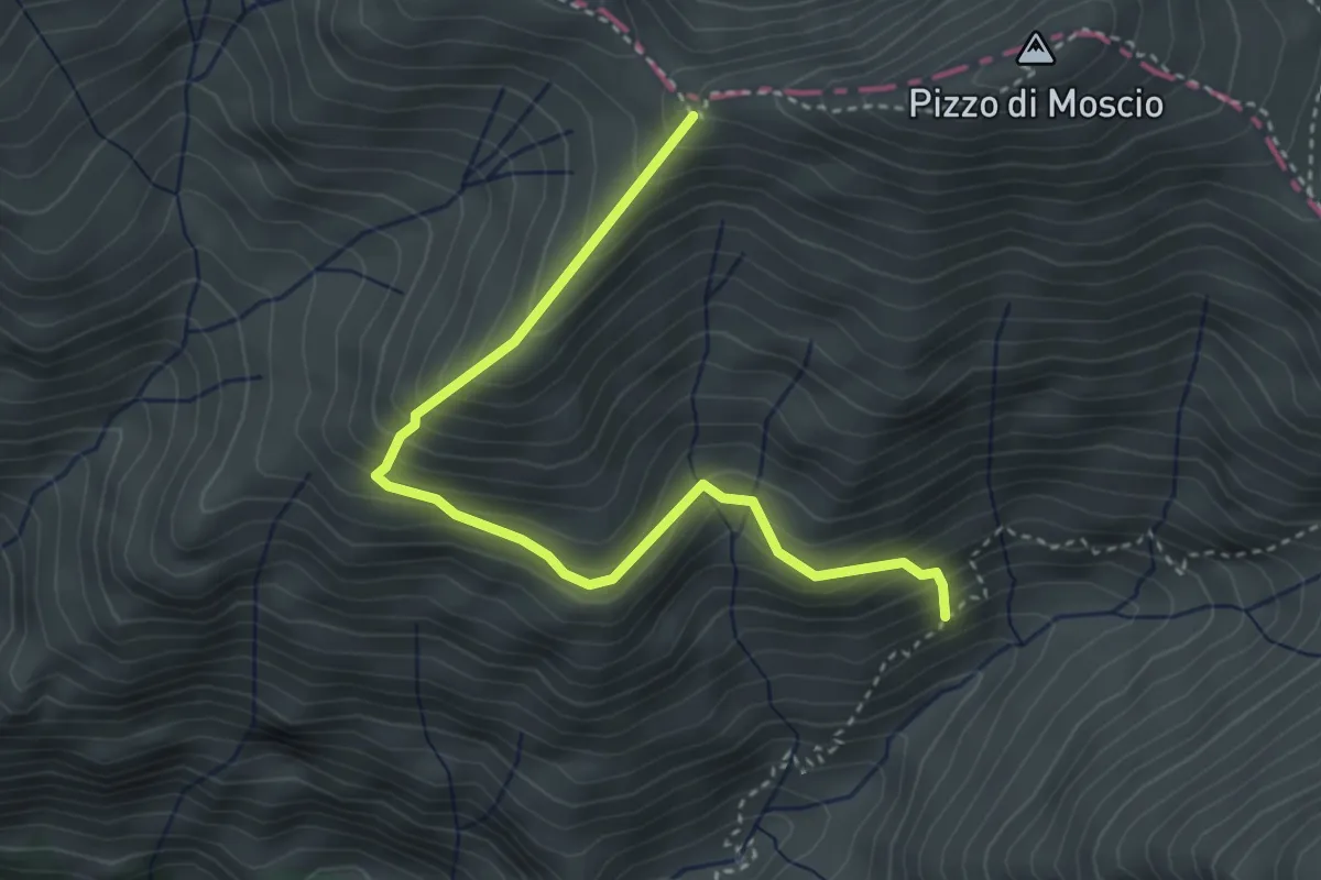
Medium · Trail
Stazzo Padula - Colle Picchero - anticima (301) di Pizzo di Moscio
4.1 km · ↑ 408 m · 1 h 51 min · 9 km away
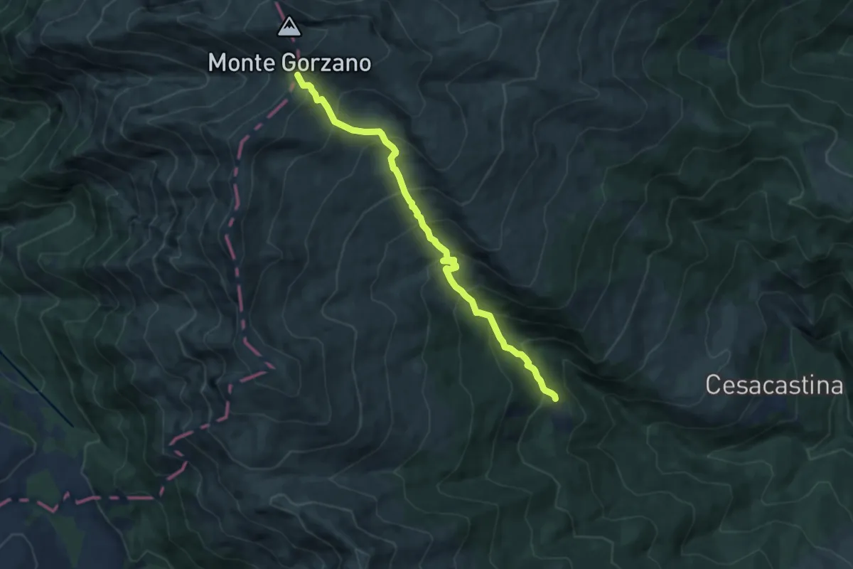
Demanding · Trail
Bosco Tignoso – Sella del Gorzano
8.6 km · ↑ 891 m · 3 h 57 min · 9 km away
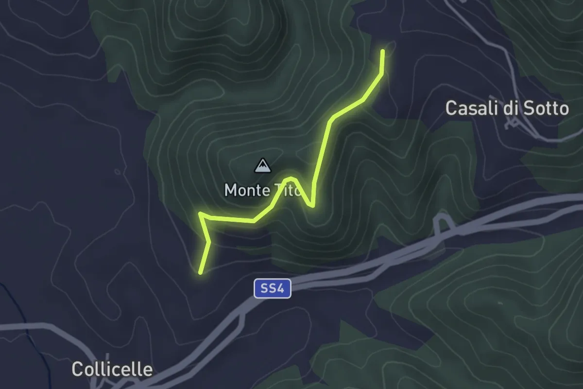
Easy · Trail
Cittareale – Torrita
3.0 km · ↑ 198 m · 1 h 8 min · 9 km away
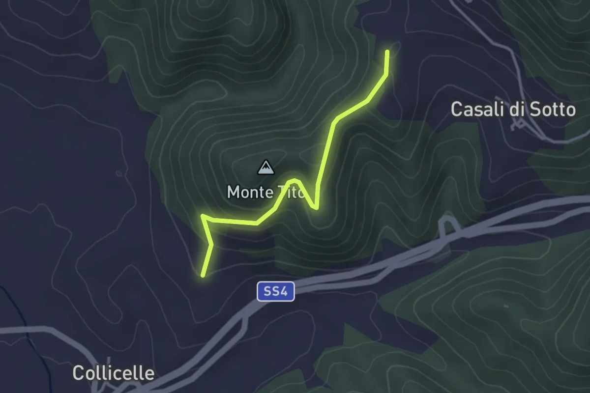
Easy · Trail
Amatrice - Lago Scandarello - Torrita - Cittareale
3.0 km · ↑ 198 m · 1 h 8 min · 9 km away
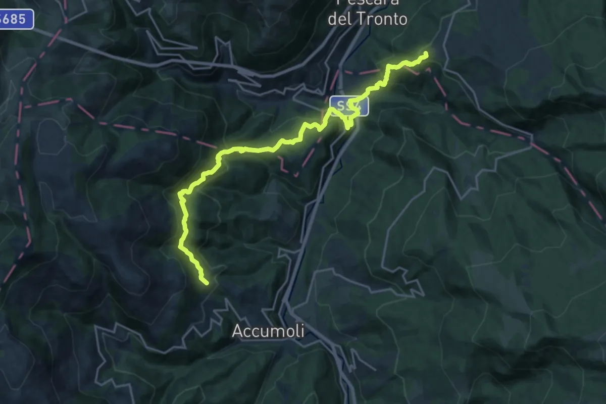
Demanding · Summit
Colle d'Arquata – Madonna delle Coste
20.1 km · ↑ 1237 m · 7 h 25 min · 9 km away
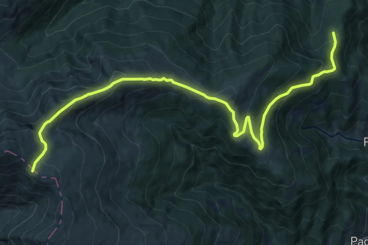
Demanding · Trail
Sentiero del Ceppo - Sentiero N301
16.9 km · ↑ 915 m · 5 h 58 min · 10 km away
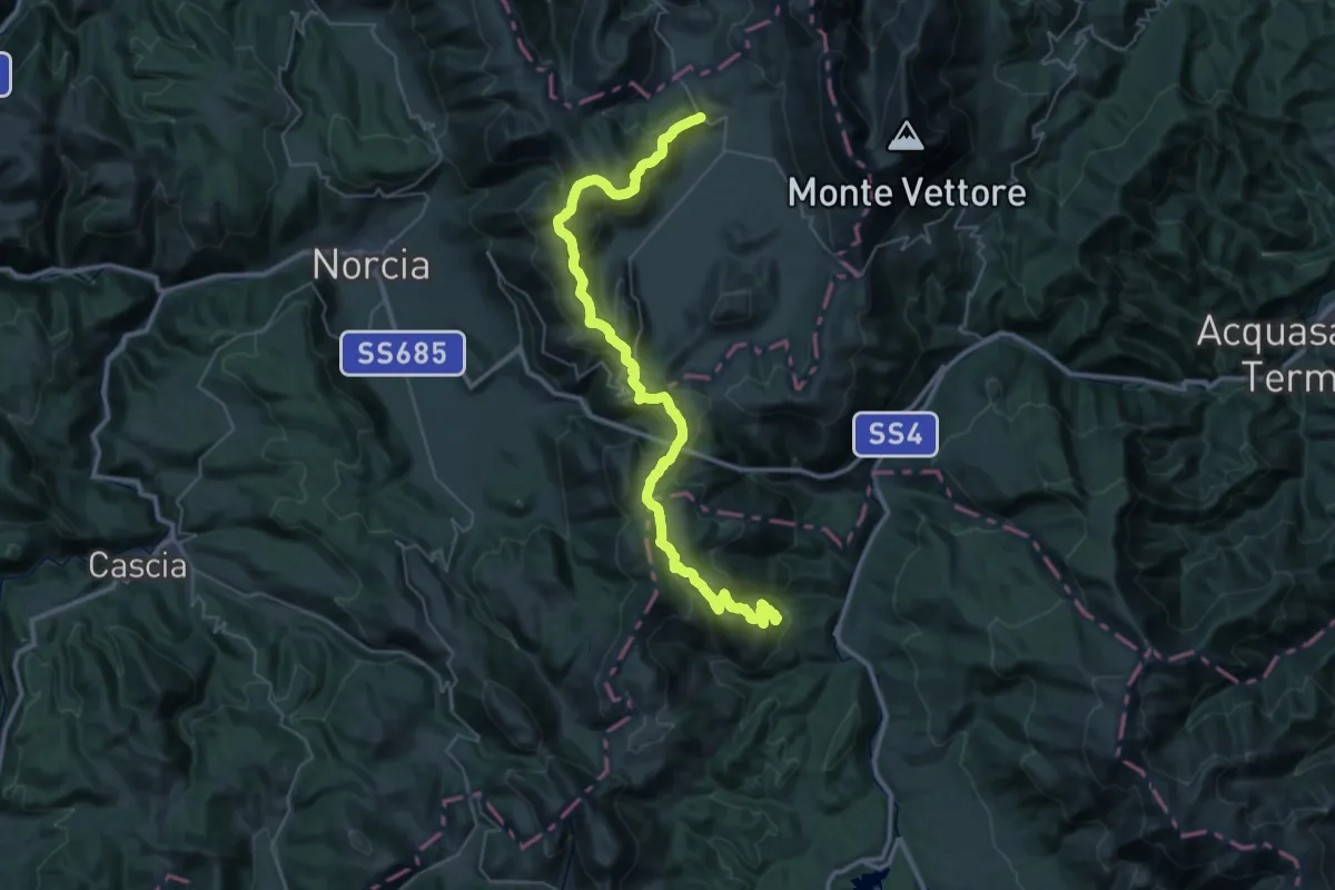
Demanding · Trail
Madonna delle Coste – Castelluccio
24.3 km · ↑ 1101 m · 8 h 17 min · 10 km away
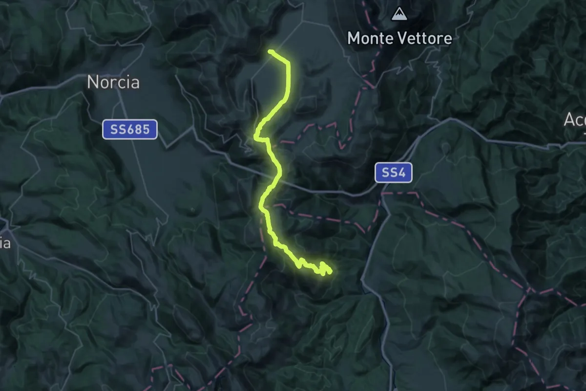
Demanding · Trail
Cammino nelle Terre Mutate - variante
18.3 km · ↑ 728 m · 6 h 3 min · 10 km away
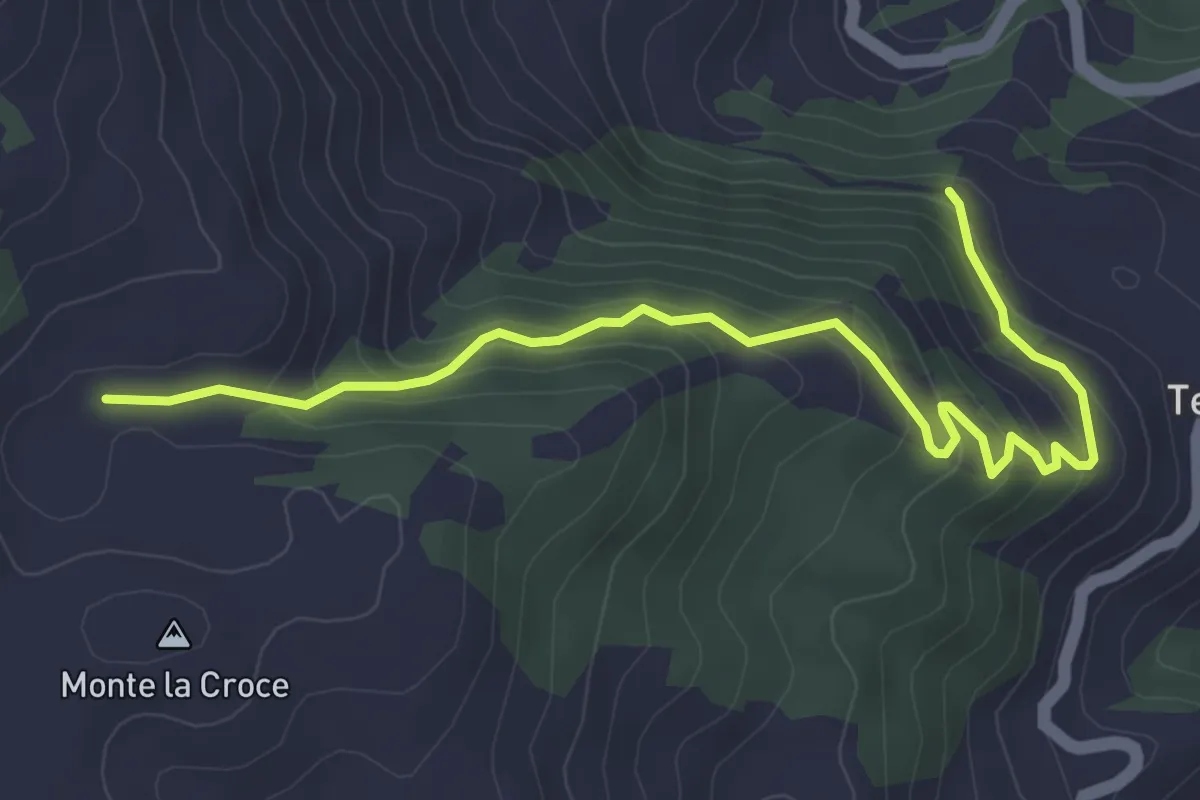
Medium · Trail
Rifugio Tosti – Terracino
5.0 km · ↑ 344 m · 1 h 55 min · 10 km away
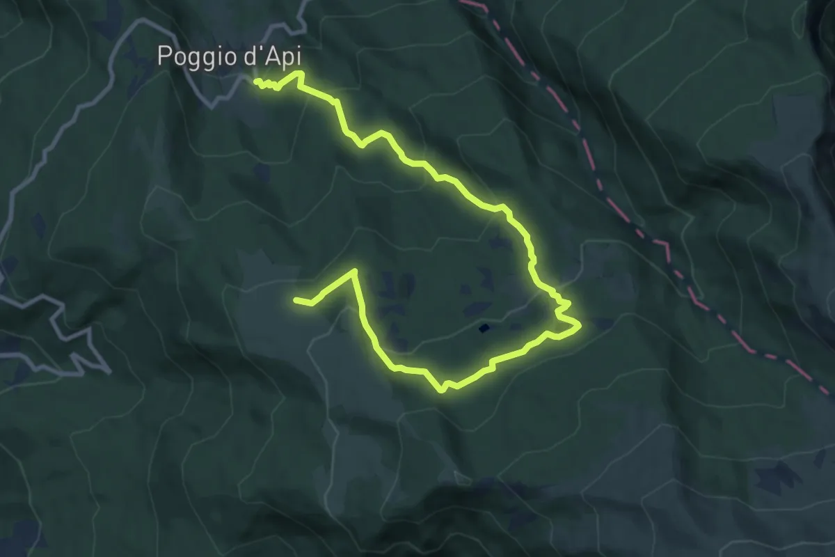
Medium · Trail
Poggio d'Api - Lago Secco - La Casetta
13.1 km · ↑ 628 m · 4 h 27 min · 10 km away
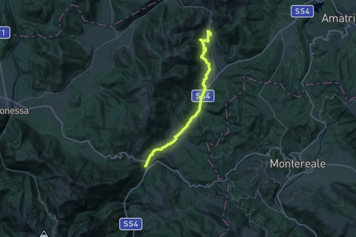
Medium · Trail
CNP - 18 - Posta - Cittareale
15.8 km · ↑ 292 m · 4 h 44 min · 11 km away
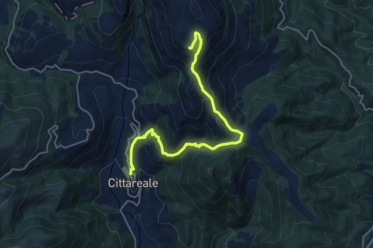
Demanding · Summit
Cittareale – Monte Prato
12.7 km · ↑ 883 m · 4 h 55 min · 11 km away
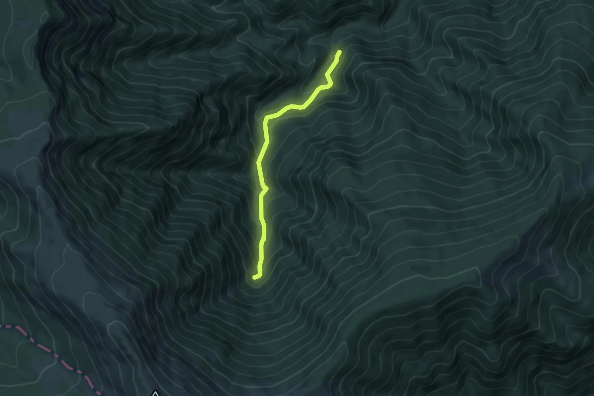
Medium · Trail
Umito – Cascate della Volpara
5.0 km · ↑ 394 m · 2 h 1 min · 11 km away
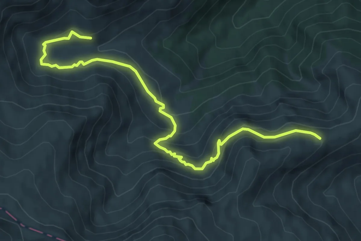
Medium · Trail
Segnavia La Storna - Segnavia Stazzi della Morricana
8.7 km · ↑ 436 m · 3 h 1 min · 11 km away
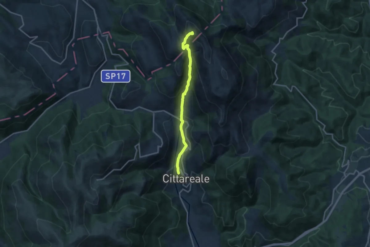
Demanding · Summit
Cupello-M.Pozzoni
10.3 km · ↑ 885 m · 4 h 21 min · 11 km away
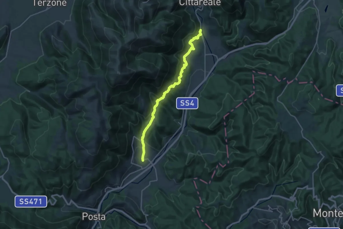
Demanding · Trail
Bacugno-Collenasso
17.5 km · ↑ 859 m · 5 h 59 min · 11 km away
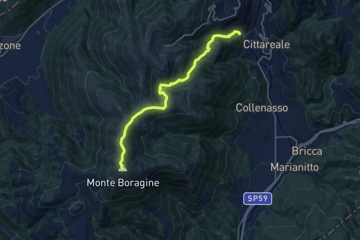
Demanding · Summit
Madonna di Capo D' Acqua -M.Te Boragine
13.3 km · ↑ 860 m · 5 h · 11 km away
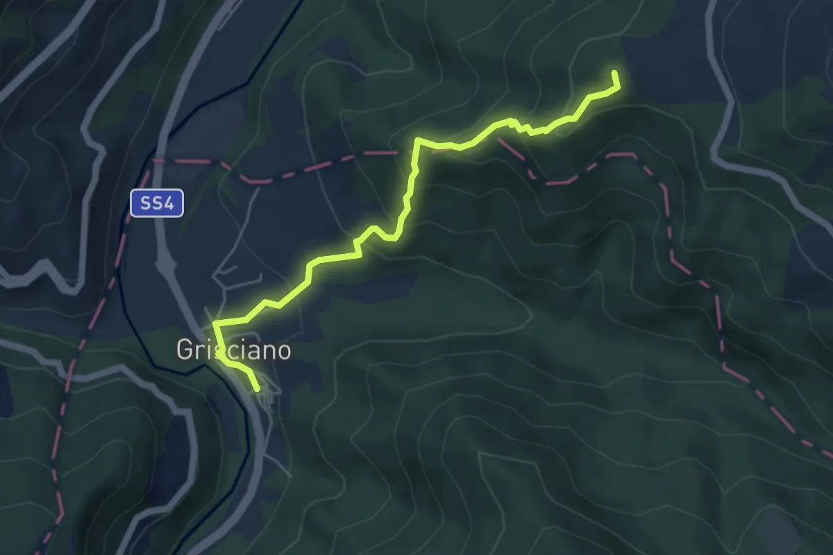
Medium · Summit
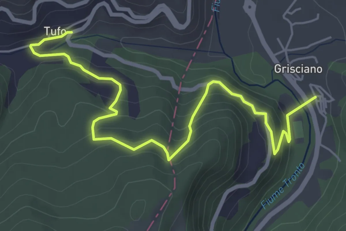
Grande Anello di Arquata (GADA): Tappa 4
5.1 km · ↑ 336 m · 1 h 56 min · 12 km away
Medium · Trail
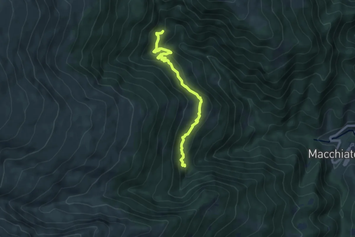
Grande Anello di Arquata (GADA): Tappa 5
6.4 km · ↑ 419 m · 2 h 25 min · 12 km away
Medium · Trail
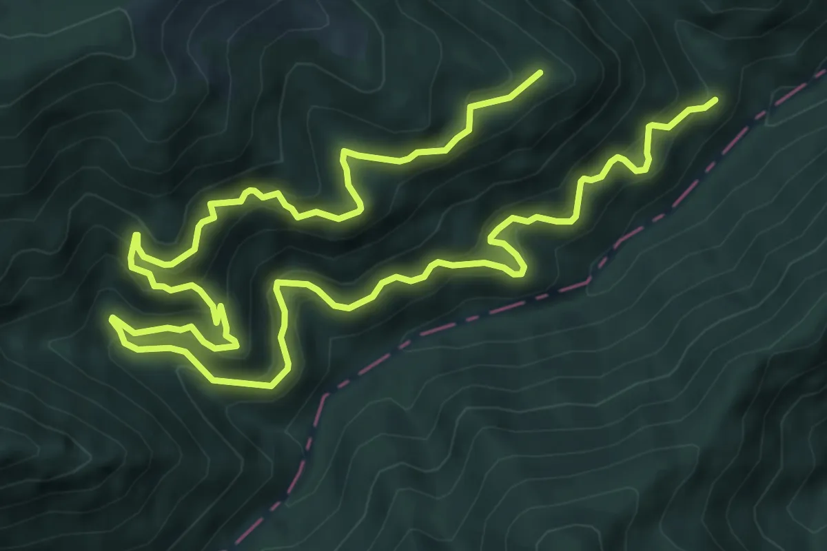
Rifugio Enel Tordino – Colle Lungo
5.8 km · ↑ 400 m · 2 h 13 min · 12 km away
Demanding · Trail
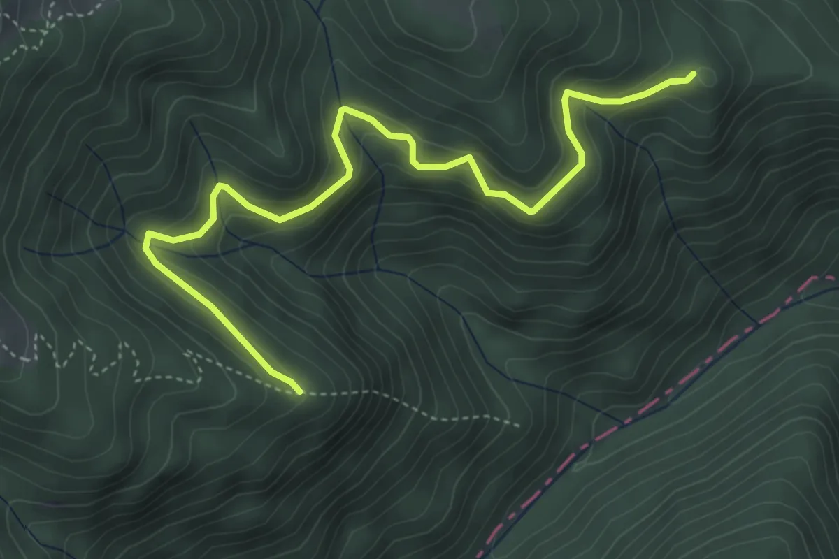
Sterrata di San Gerbone
13.5 km · ↑ 1091 m · 5 h 32 min · 13 km away
Medium · Trail
Sterrata - Maularo Collefrattale
5.4 km · ↑ 393 m · 2 h 8 min · 13 km away
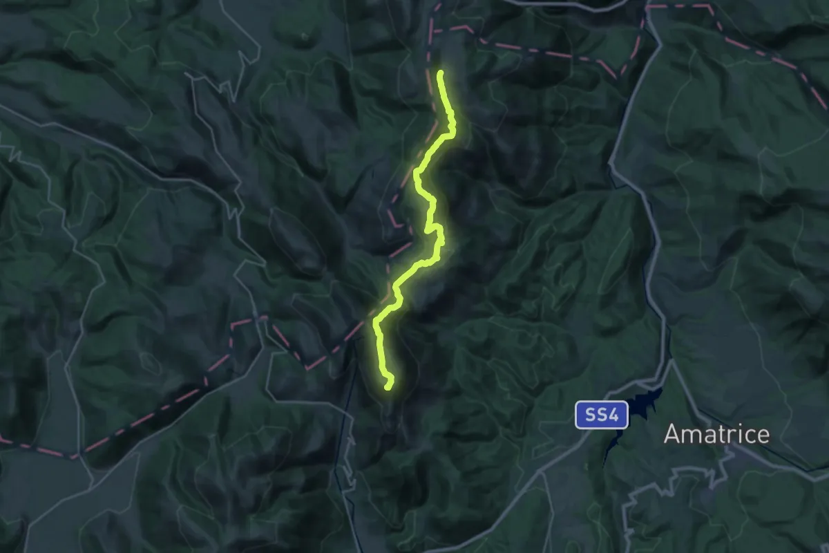
Demanding · Summit
Monte Prato – Forca dei Coppelli
24.4 km · ↑ 1179 m · 8 h 19 min · 13 km away
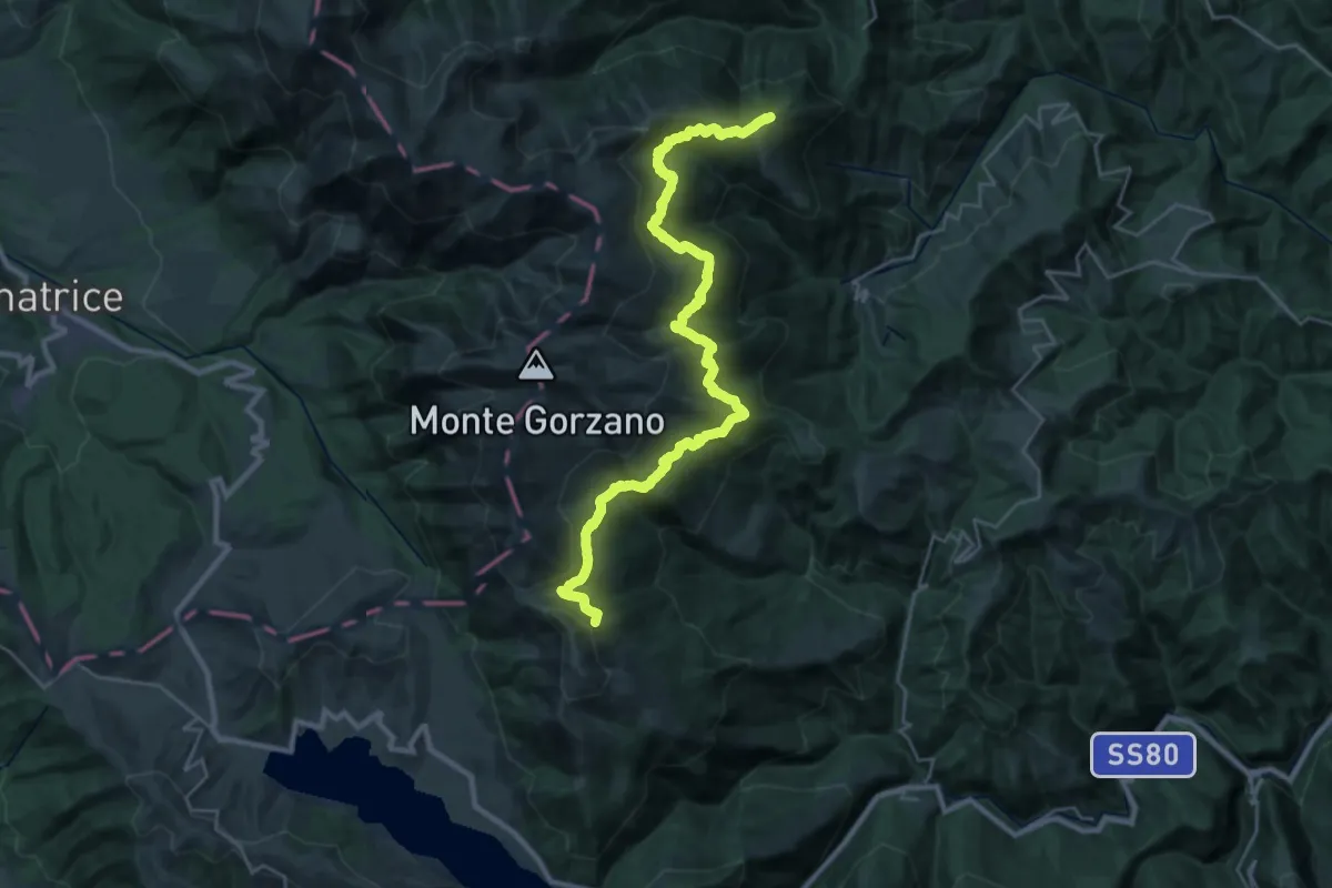
Demanding · Summit
Il Coppo – Lago del Orso
32.1 km · ↑ 1620 m · 11 h 5 min · 13 km away
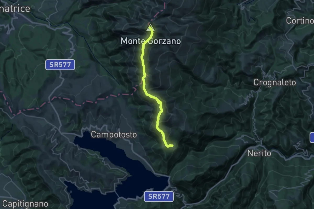
Demanding · Summit
Linea di cresta Monti della Laga tra Lazio - Marche - Abruzzo
18.8 km · ↑ 1389 m · 7 h 27 min · 13 km away
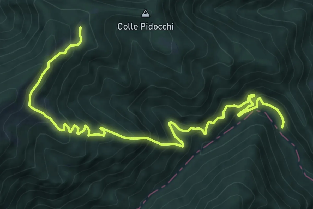
Demanding · Trail
Strada di Fonte delle More – SI N300
11.6 km · ↑ 1131 m · 5 h 11 min · 13 km away
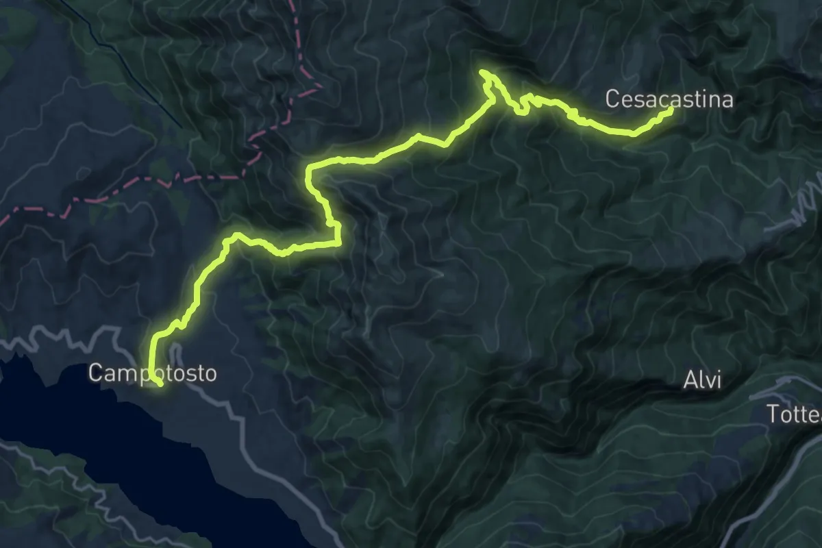
Demanding · Trail
Campotosto – Cesacastina
12.1 km · ↑ 961 m · 4 h 59 min · 14 km away
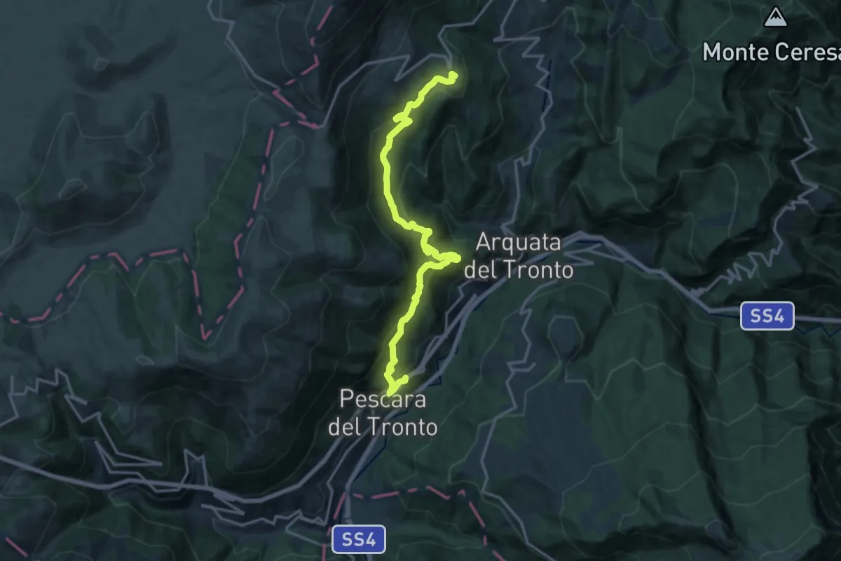
Demanding · Summit
Grande Anello di Arquata (GADA): Tappa 7
16.2 km · ↑ 981 m · 5 h 57 min · 14 km away
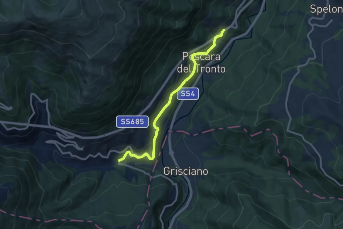
Easy · Trail
Grande Anello di Arquata (GADA): Tappa 6
7.4 km · ↑ 302 m · 2 h 24 min · 14 km away
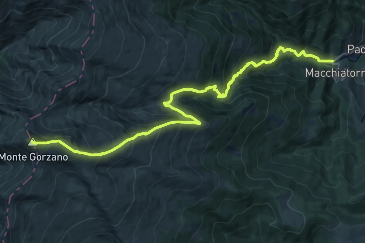
Demanding · Summit
SP47 – Monte Gorzano
17.5 km · ↑ 1511 m · 7 h 24 min · 14 km away
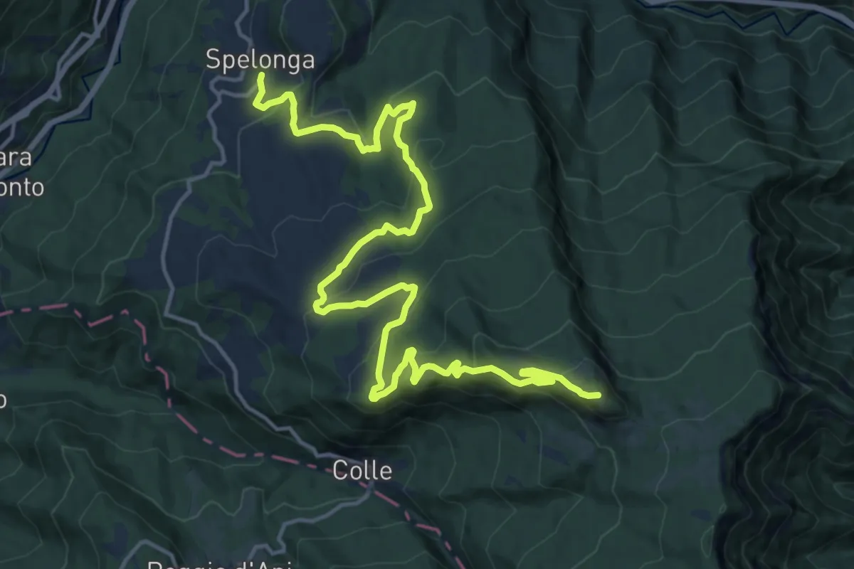
Demanding · Summit
Grande Anello di Arquata (GADA): Tappa 3
20.4 km · ↑ 901 m · 6 h 46 min · 14 km away
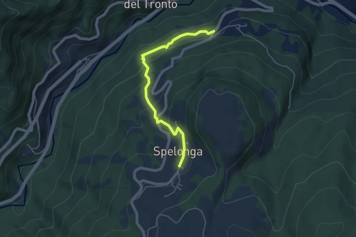
Easy · Trail
Grande Anello di Arquata (GADA): Tappa 2
4.2 km · ↑ 268 m · 1 h 35 min · 14 km away
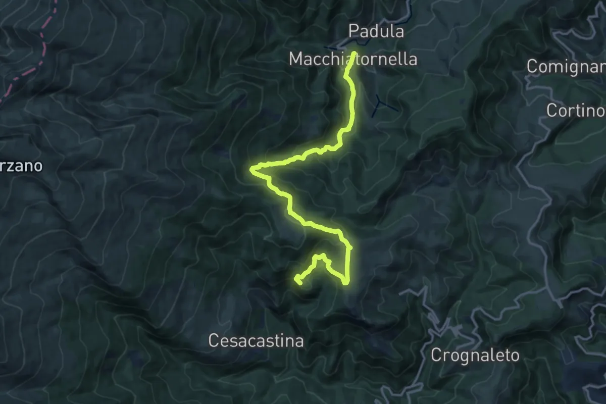
Demanding · Summit
Cesacastina – Padula
15.0 km · ↑ 858 m · 5 h 24 min · 15 km away
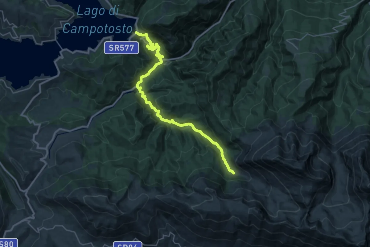
Demanding · Cabin
CNP - 23 - Lago di Campotosto - Rifugio Fioretti
23.1 km · ↑ 1017 m · 7 h 40 min · 15 km away
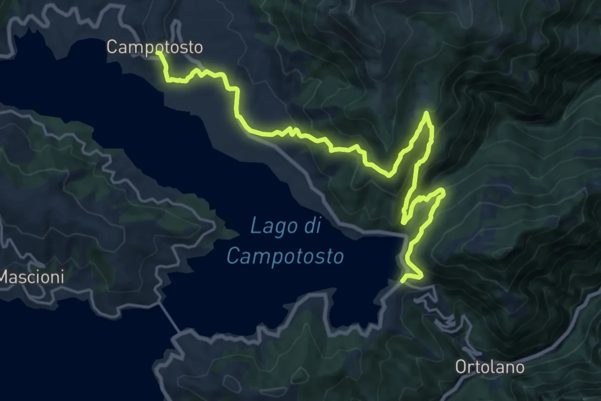
Demanding · Trail
CNP - 22 - Campotosto - Lago di Campotosto
20.1 km · ↑ 960 m · 6 h 50 min · 15 km away
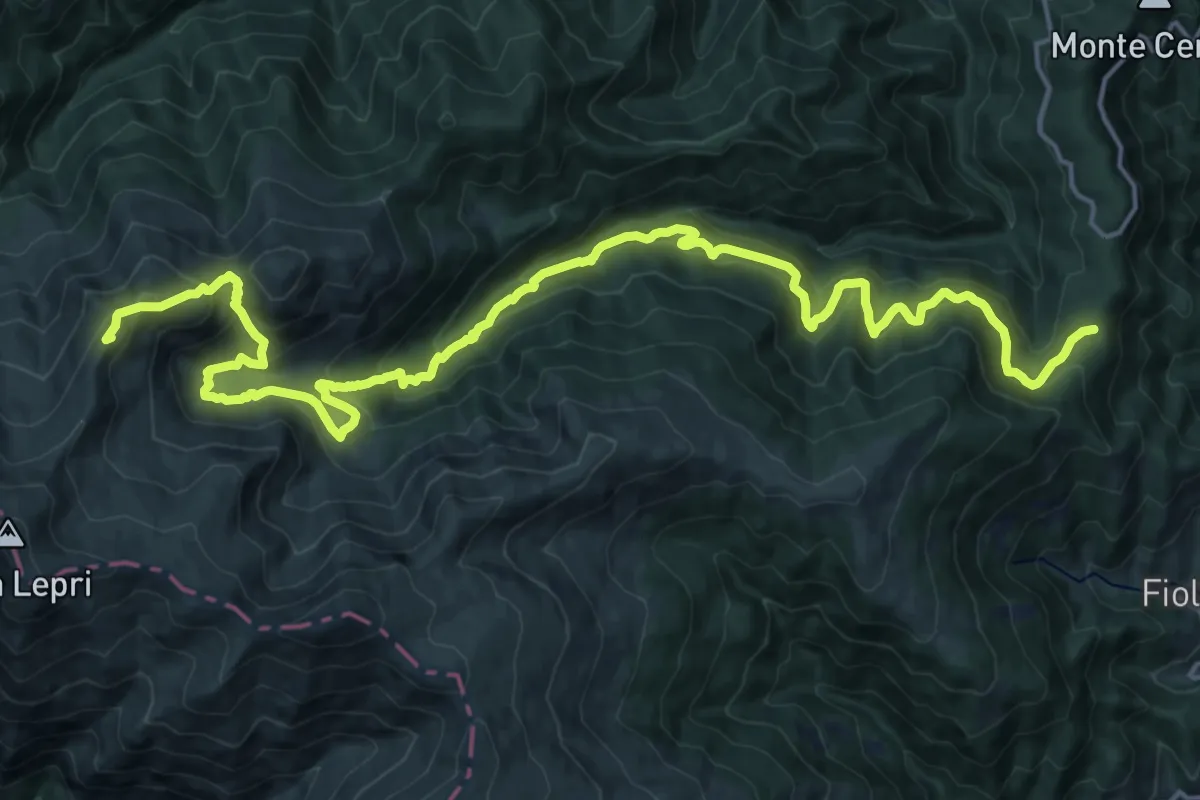
Demanding · Summit
Segnavia N300 – Cima La Rocchetta
25.5 km · ↑ 1603 m · 9 h 29 min · 15 km away