Trails near Angera
161 hikes starting within 15 km, nearest first.
Nearest first, page 3 of 4
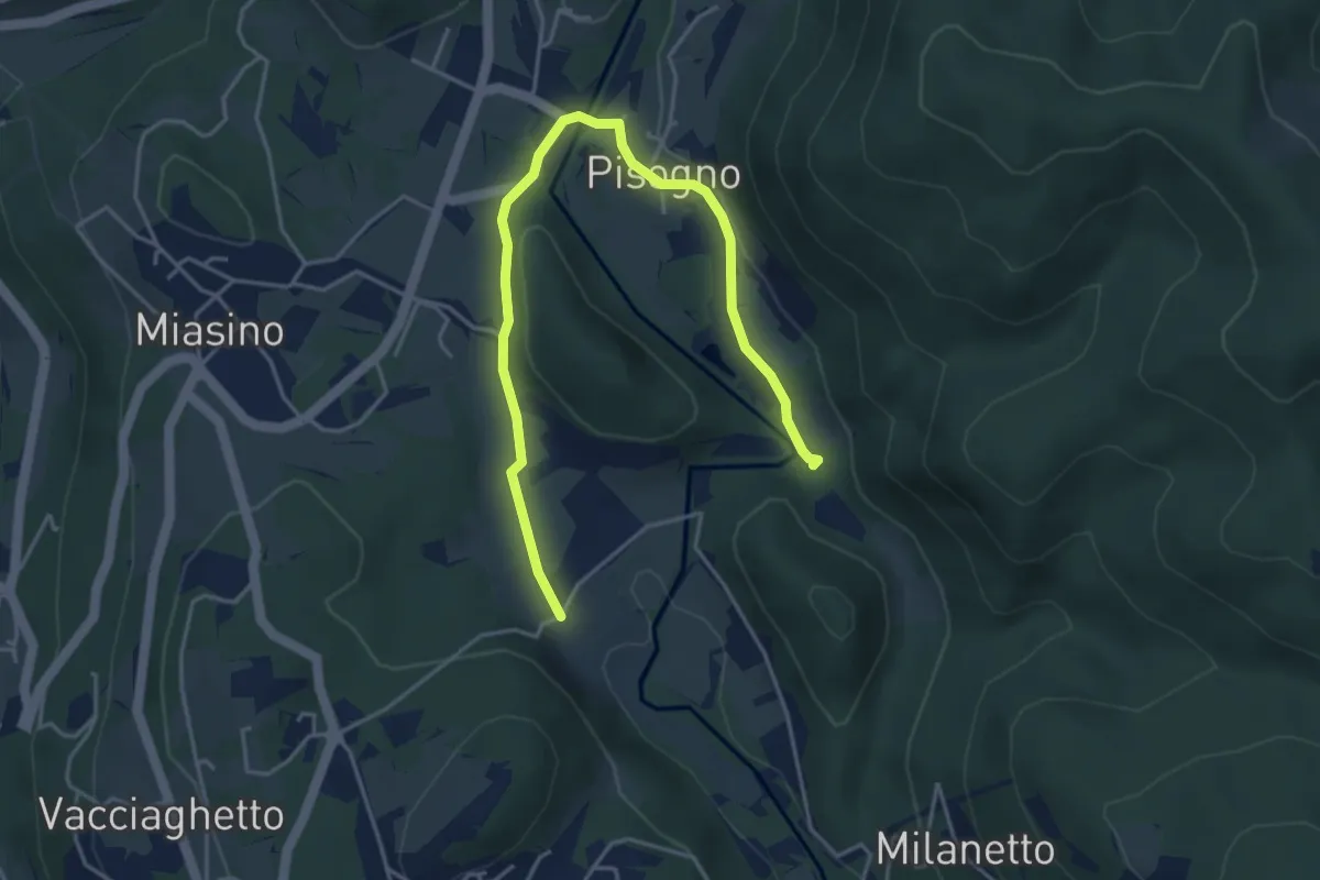
Easy · Trail
VU1a - Ameno - Ameno
5.0 km · ↑ 106 m · 1 h 24 min · 10 km away
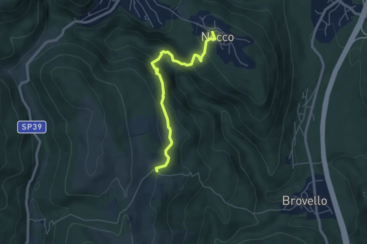
Medium · Trail
VL7a - Nocco - Alpe Martin
4.6 km · ↑ 259 m · 1 h 39 min · 10 km away
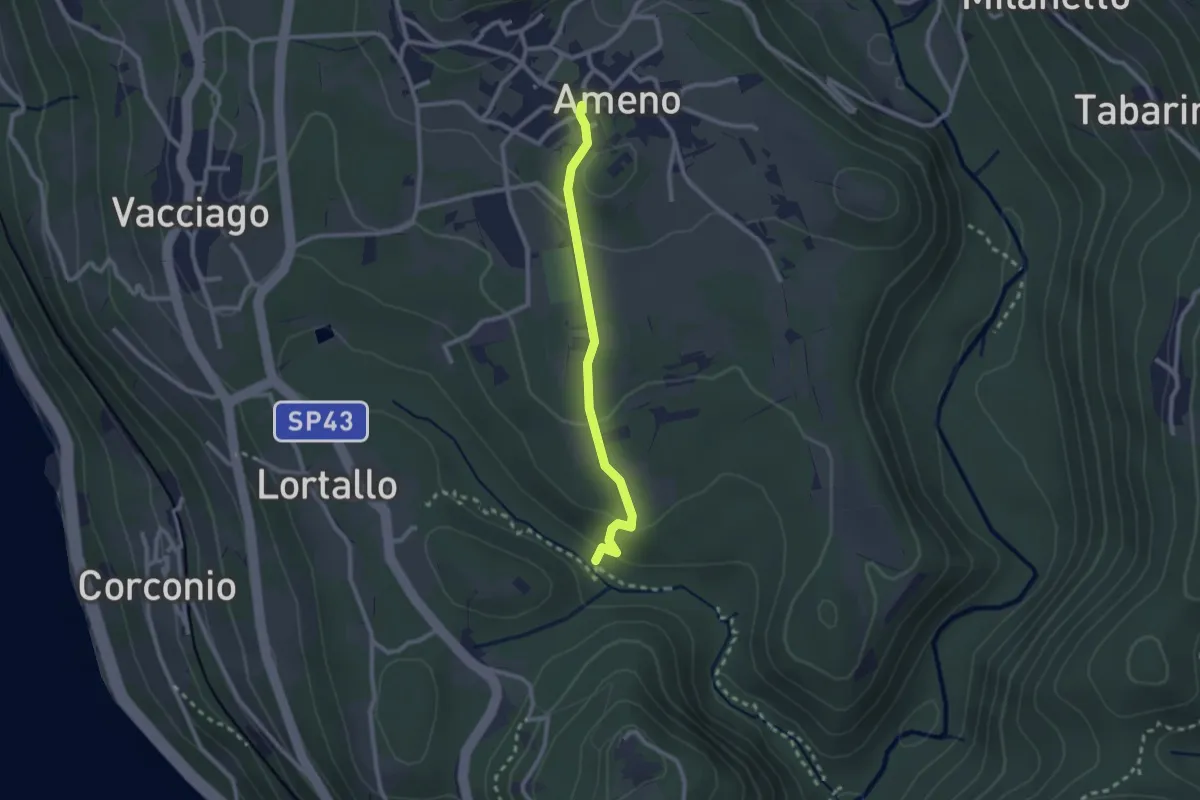
Easy · Trail
VU4 - Ameno - Monte Mesma
2.3 km · ↑ 72 m · 41 min · 10 km away
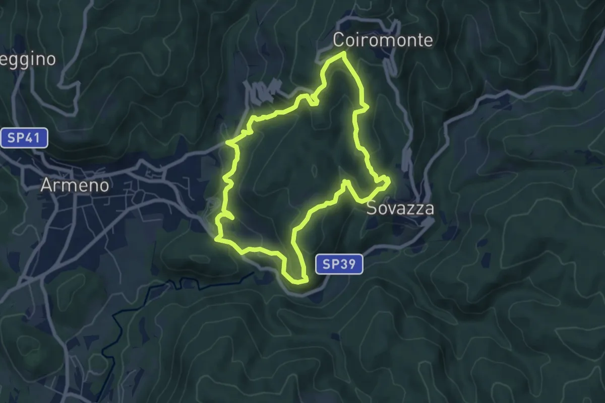
Medium · Trail
Armeno, anello Coiro-Sovazza
6.6 km · ↑ 355 m · 2 h 25 min · 10 km away
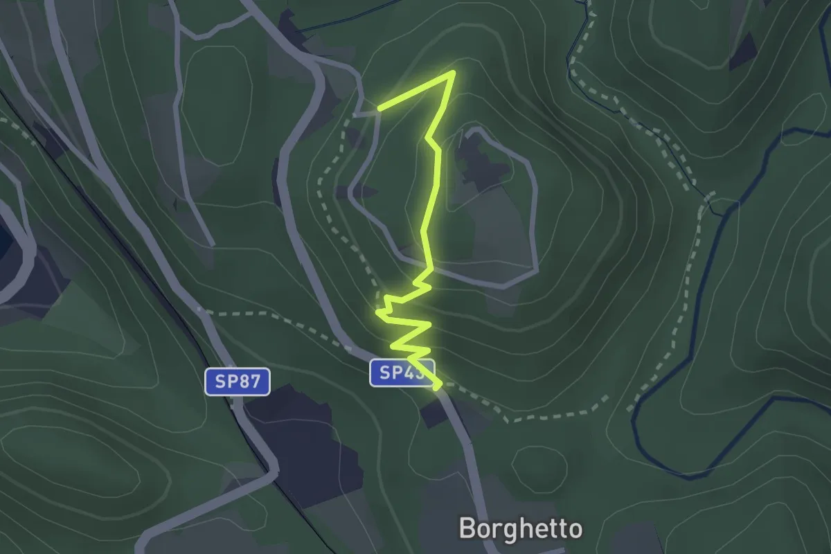
Easy · Trail
VU2a - Borghetto - Convento di Mesma
2.2 km · ↑ 183 m · 55 min · 11 km away
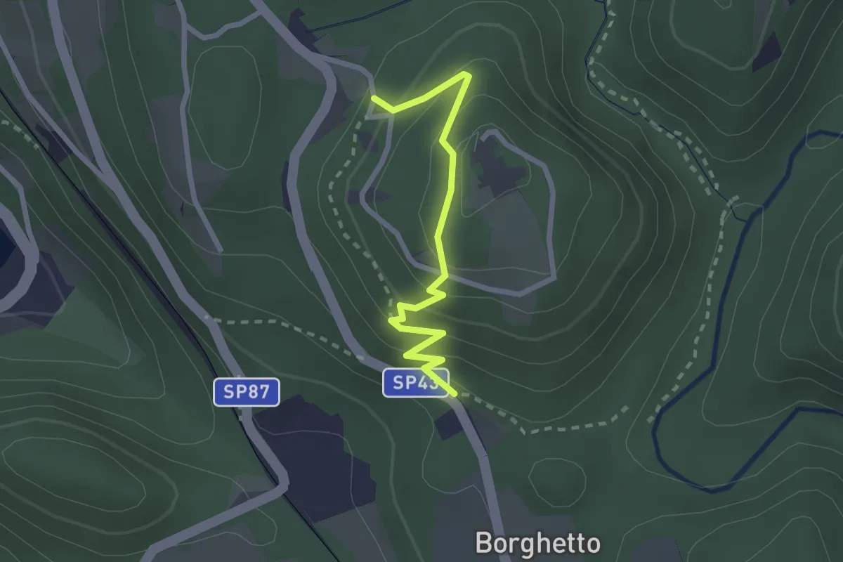
Easy · Trail
Vie Crucis Monte Mesma
2.3 km · ↑ 197 m · 58 min · 11 km away
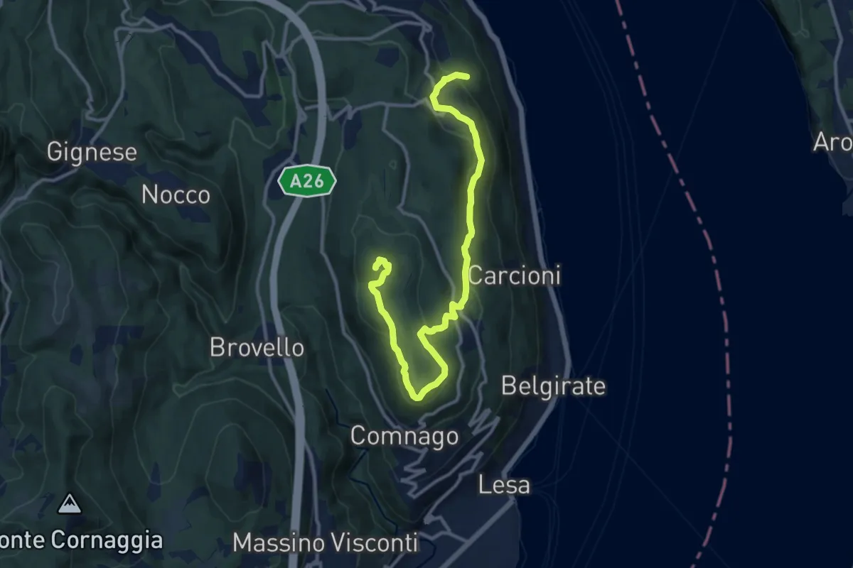
Medium · Summit
VL3 - Sant'Albino - Motta Rossa
13.0 km · ↑ 413 m · 3 h 57 min · 11 km away
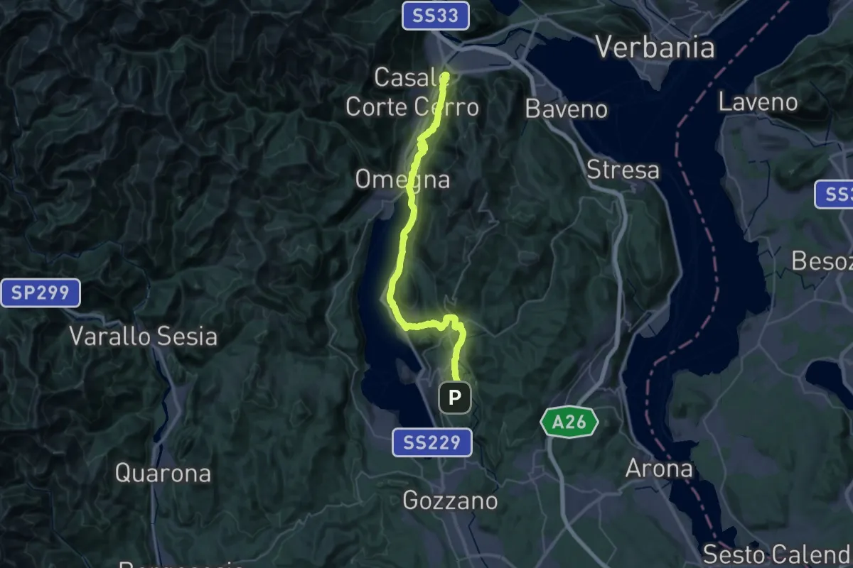
Demanding · Summit
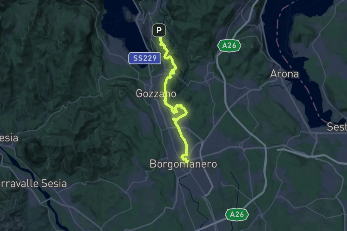
Grand Tour del Lago d'Orta - Tappa 2
43.1 km · ↑ 1160 m · 12 h 41 min · 11 km away
Medium · Trail
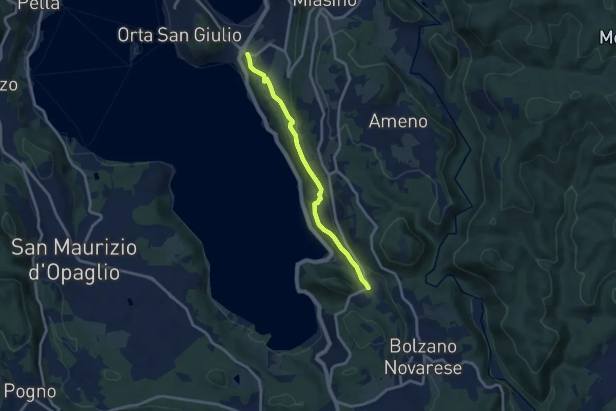
Grand Tour del Lago d'Orta - Tappa 1
16.4 km · ↑ 183 m · 4 h 37 min · 11 km away
Easy · Trail
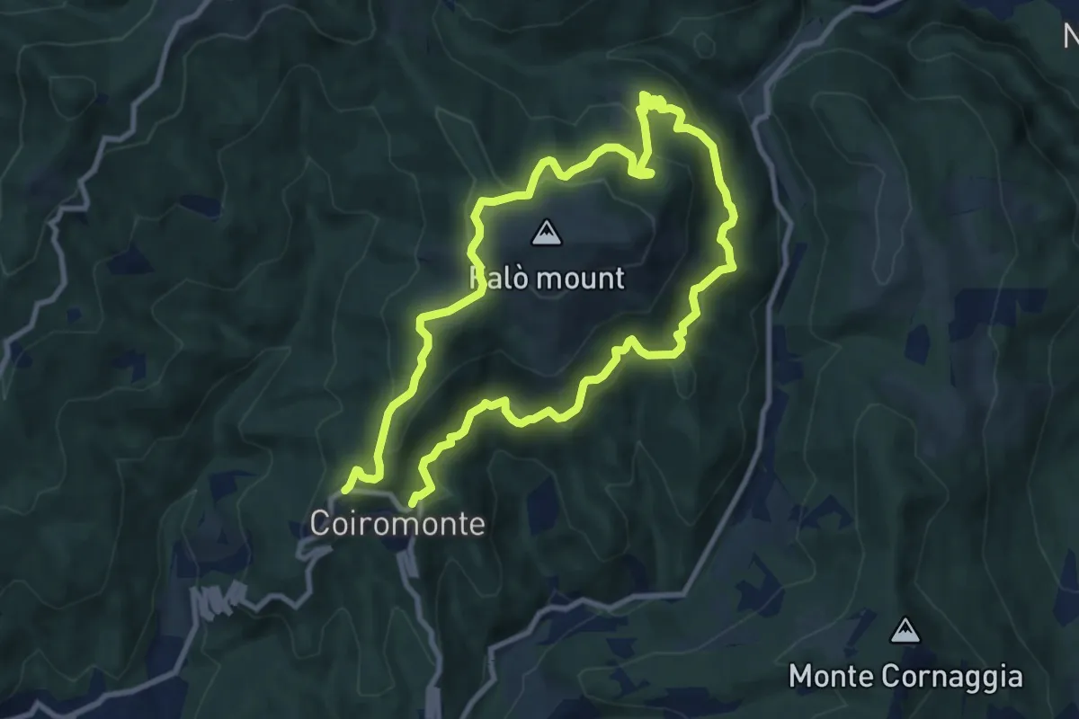
Orta San Giulio località Ortello, bivio NOATU1-NOATU2 – Orta San Giulio località Corconio bivio NOAVU2-NOATU2-NOATU2A
7.0 km · ↑ 181 m · 2 h 3 min · 11 km away
Medium · Summit
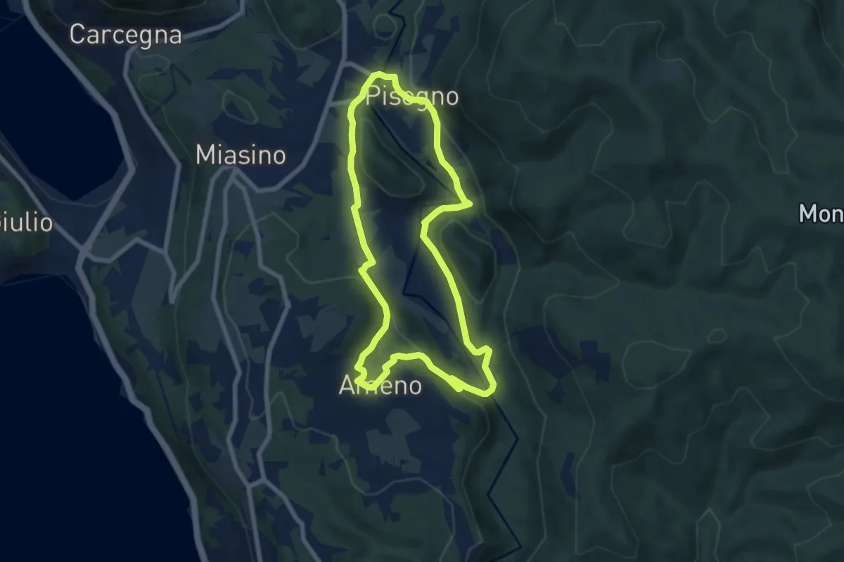
Armeno, anello Falò
8.3 km · ↑ 475 m · 3 h 6 min · 11 km away
Easy · Trail
Anello Azzurro
6.3 km · ↑ 179 m · 1 h 58 min · 11 km away
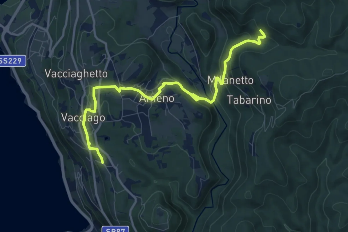
Medium · Trail
VU5 - Lortallo - Tacchino
9.5 km · ↑ 377 m · 3 h 3 min · 11 km away
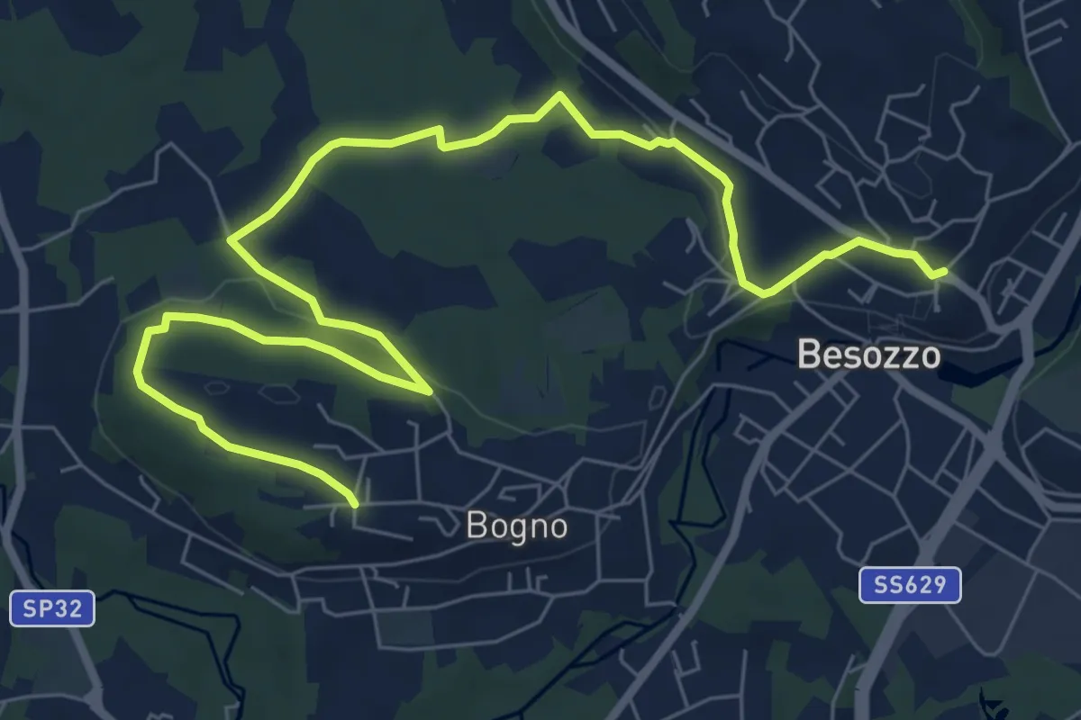
Medium · Trail
Anello di Besozzo - Bogno/Besozzo
9.7 km · ↑ 172 m · 2 h 39 min · 11 km away
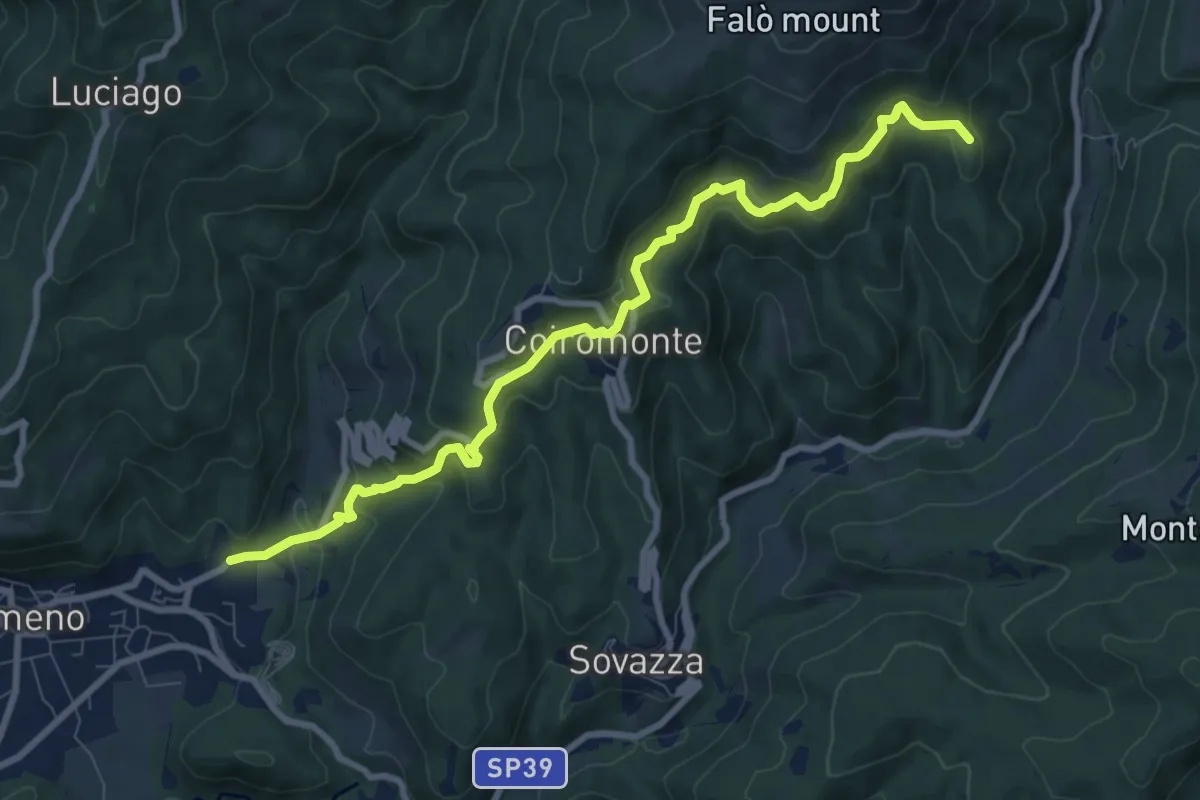
Medium · Summit
VR4 - Armeno - Gignese
9.6 km · ↑ 658 m · 3 h 41 min · 11 km away
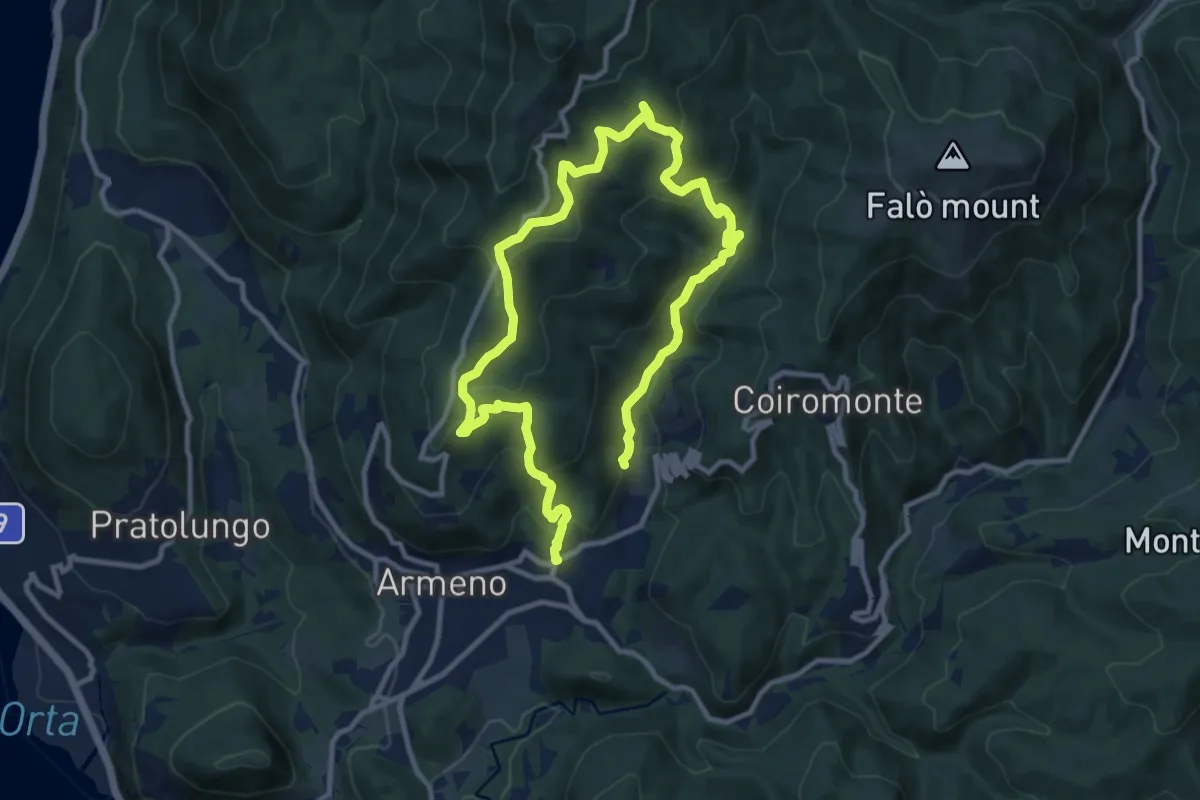
Medium · Trail
Armeno, anello Luciago
8.6 km · ↑ 486 m · 3 h 13 min · 11 km away
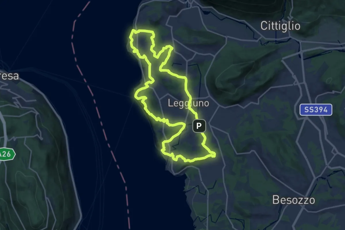
Medium · Summit
289A Anello di Santa Caterina
17.4 km · ↑ 385 m · 5 h 11 min · 11 km away
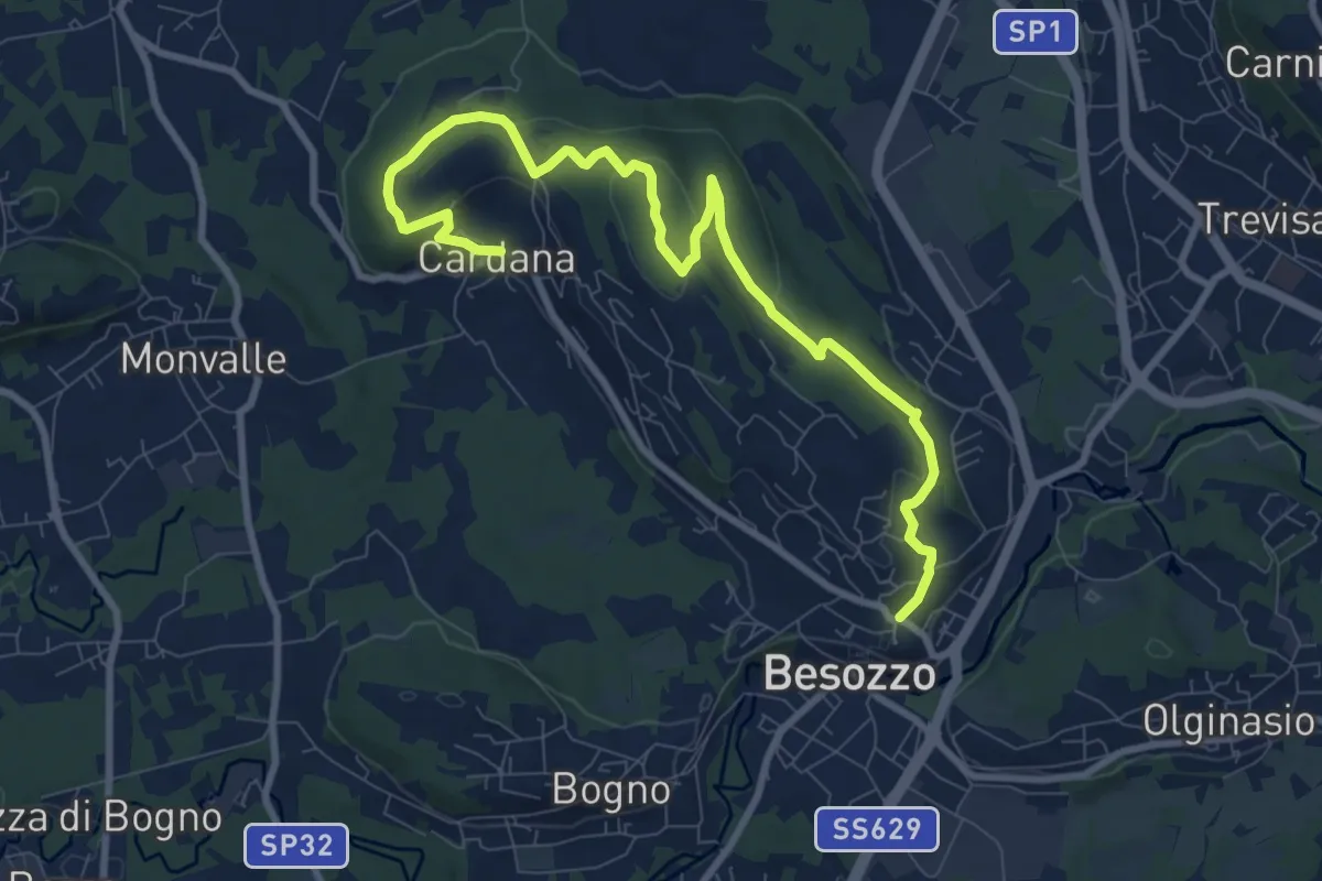
Medium · Trail
630 Anello di Besozzo - Besozzo/Cardana
10.7 km · ↑ 271 m · 3 h 6 min · 11 km away
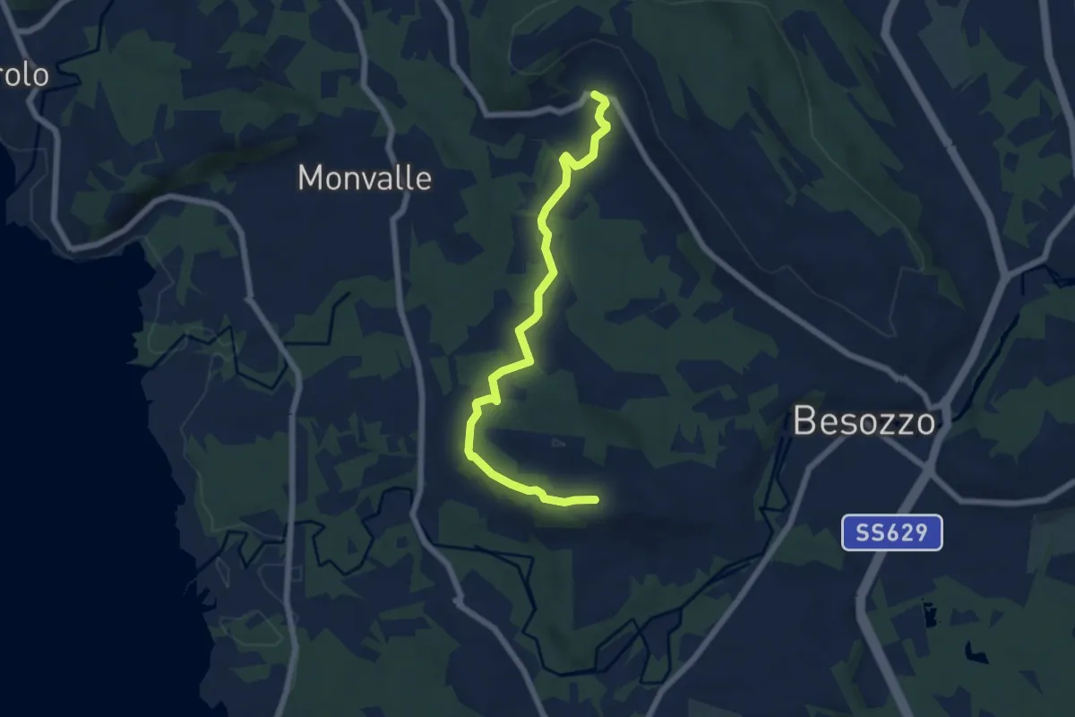
Easy · Trail
Anello di Besozzo - Cardana/Bogno
6.4 km · ↑ 126 m · 1 h 47 min · 11 km away
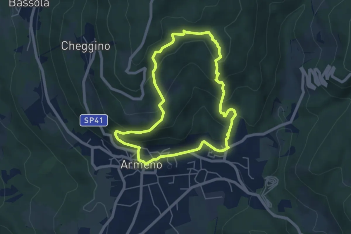
Easy · Trail
Armeno, anello Campei
4.3 km · ↑ 255 m · 1 h 38 min · 11 km away
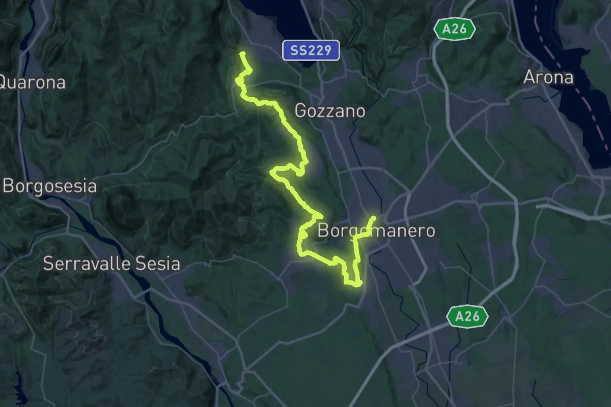
Demanding · Summit
Grand Tour del Lago d'Orta - Tappa 5
47.7 km · ↑ 887 m · 13 h 11 min · 12 km away
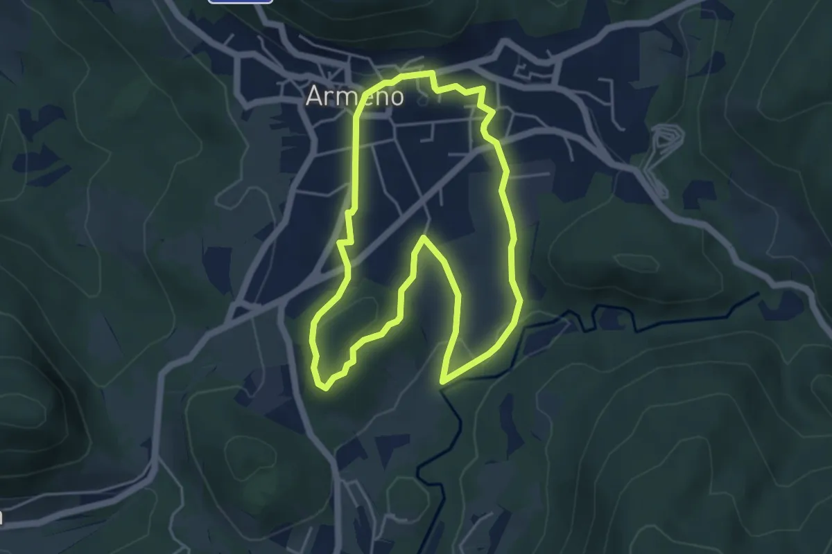
Easy · Trail
Armeno, anello Prati
4.2 km · ↑ 95 m · 1 h 16 min · 12 km away
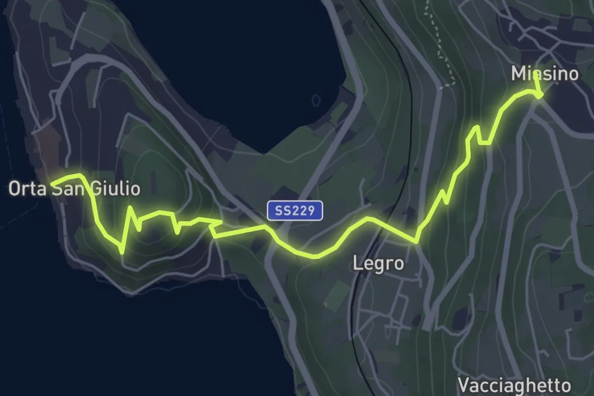
Easy · Trail
Orta Scalo, bivio NOATU1-NOATU1A – Miasino, bivio NOAVU9-NOATU1, NOAVU1
6.3 km · ↑ 314 m · 2 h 11 min · 12 km away
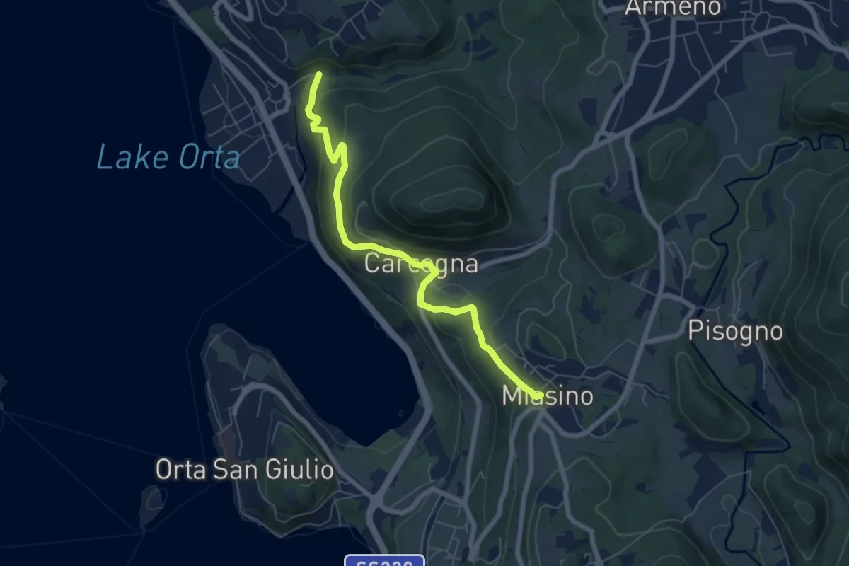
Easy · Trail
VU9 - Pettenasco - Miasino
6.3 km · ↑ 274 m · 2 h 5 min · 12 km away
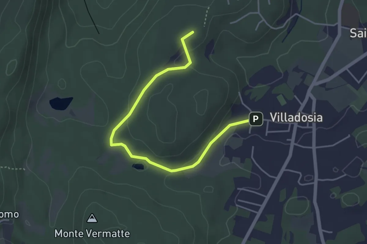
Easy · Trail
Via Santa Maria – Cascina Bruciata
4.3 km · ↑ 84 m · 1 h 12 min · 12 km away
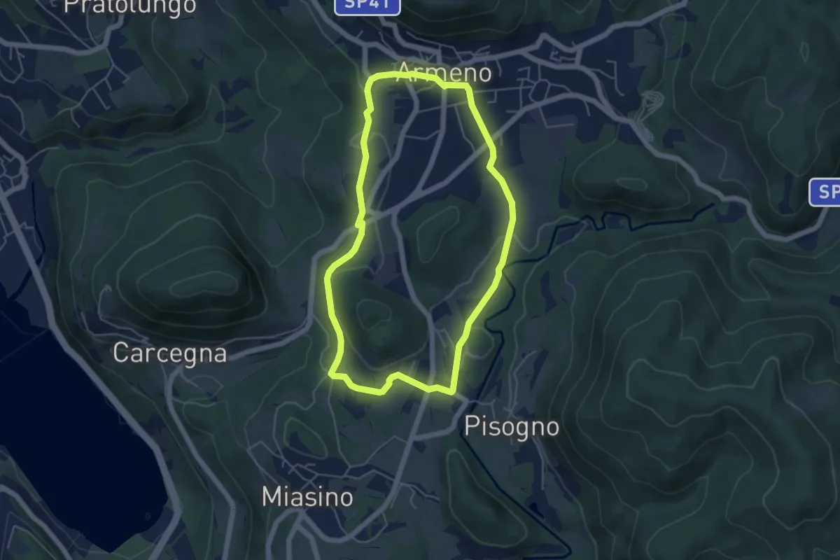
Easy · Trail
Armeno, anello Piscina
4.8 km · ↑ 105 m · 1 h 26 min · 12 km away
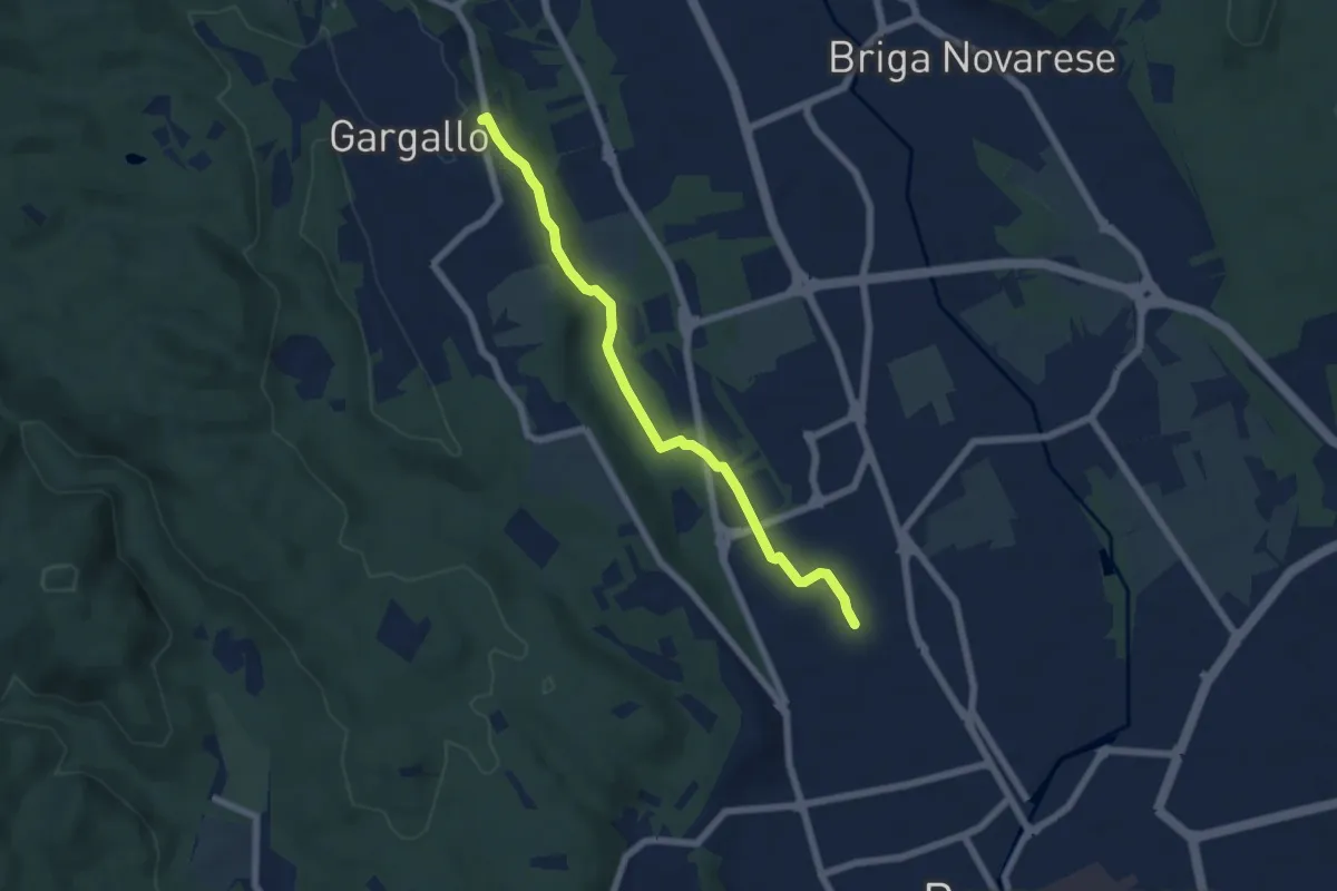
Easy · Trail
Borgomanero, località San Croce – Gargallo, Chiesa Parrocchiale di San Pietro, bivio NOS38-NOT38
6.1 km · ↑ 68 m · 1 h 35 min · 12 km away
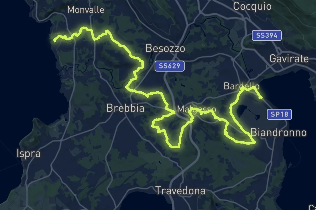
Medium · Trail
Sentiero dei Mulini
17.8 km · ↑ 250 m · 5 h 1 min · 12 km away
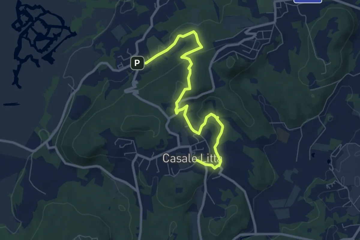
Easy · Trail
Piane Viscontee - Anello di Casale Litta
7.7 km · ↑ 219 m · 2 h 18 min · 12 km away
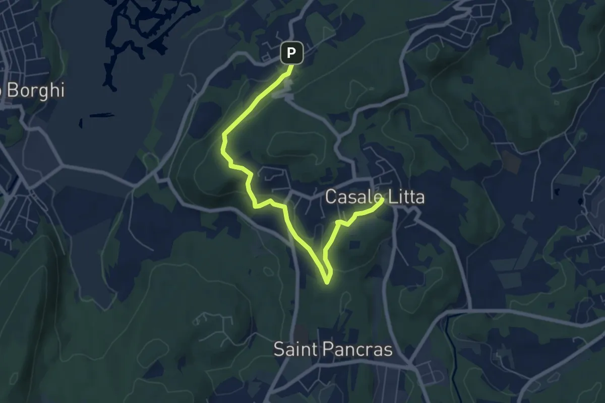
Easy · Trail
Piane Viscontee - Anello di Casale Litta
6.7 km · ↑ 183 m · 1 h 59 min · 12 km away
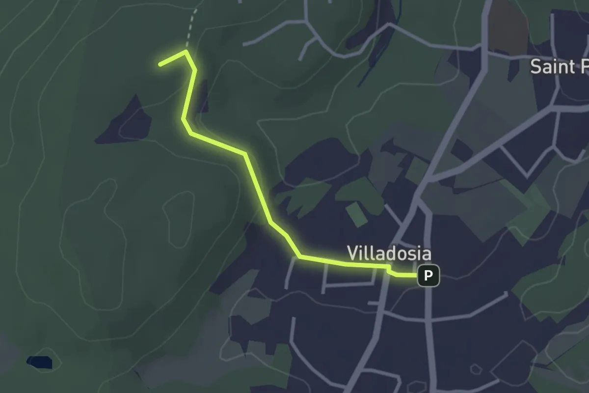
Easy · Trail
Villadosia – Cascina Bruciata
2.5 km · ↑ 56 m · 43 min · 12 km away
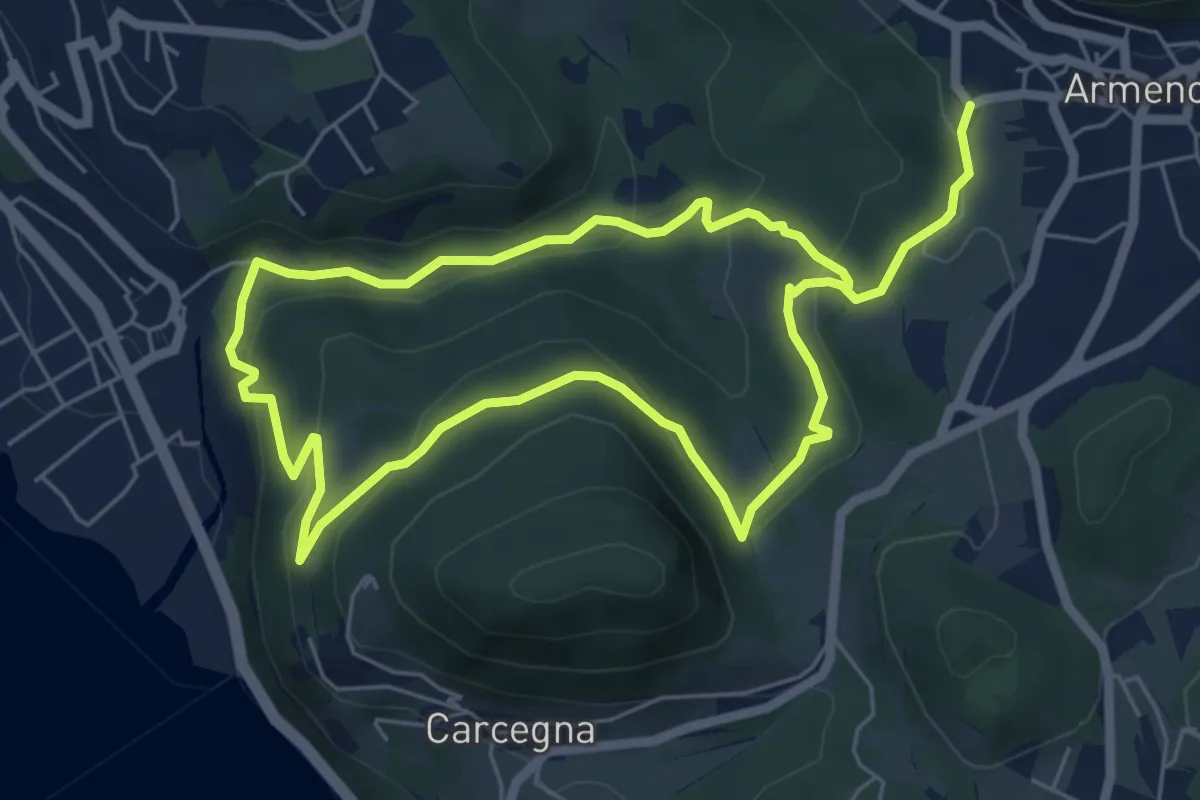
Easy · Trail
Armeno, anello Rusa
5.5 km · ↑ 267 m · 1 h 57 min · 12 km away
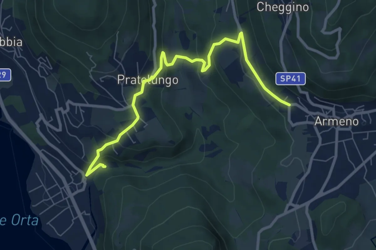
Medium · Trail
VP9 - Pettenasco - Armeno
7.4 km · ↑ 395 m · 2 h 36 min · 12 km away
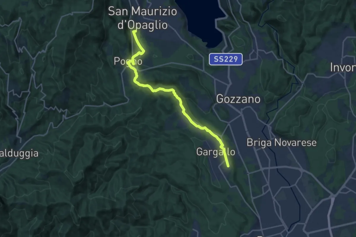
Medium · Summit
T38 - Gargallo - Madonna del Sasso
16.6 km · ↑ 356 m · 4 h 42 min · 12 km away
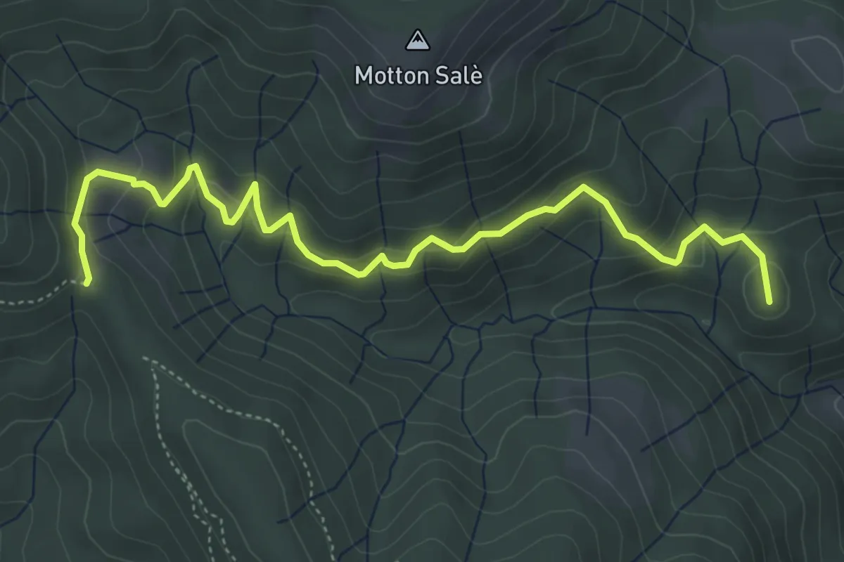
Medium · Summit
VR3a - Bivio VR3 - Bivio V00
5.6 km · ↑ 316 m · 2 h · 12 km away
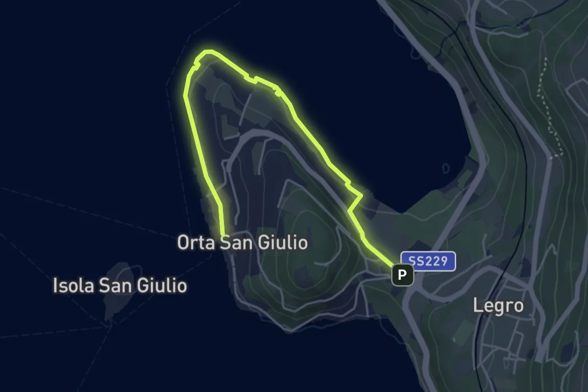
Easy · Trail
Orta Scalo, bivio ENOATU1-ENOATU1A – Orta San Giulio località Ortello, bivio ENOATU1-ENOATU1A
4.8 km · ↑ 71 m · 1 h 17 min · 13 km away
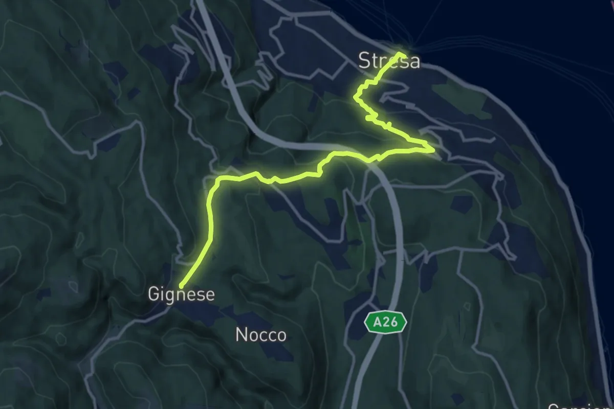
Medium · Trail
VL5 - Stresa - Gignese
12.2 km · ↑ 502 m · 3 h 59 min · 13 km away
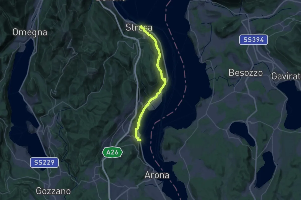
Medium · Trail
Grand Tour del Lago Maggiore ® - Tappa 2 - Stresa - Meina
13.8 km · ↑ 406 m · 4 h 20 min · 13 km away
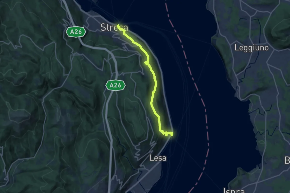
Medium · Trail
VL2 - Stresa - Belgirate
14.4 km · ↑ 634 m · 4 h 46 min · 13 km away
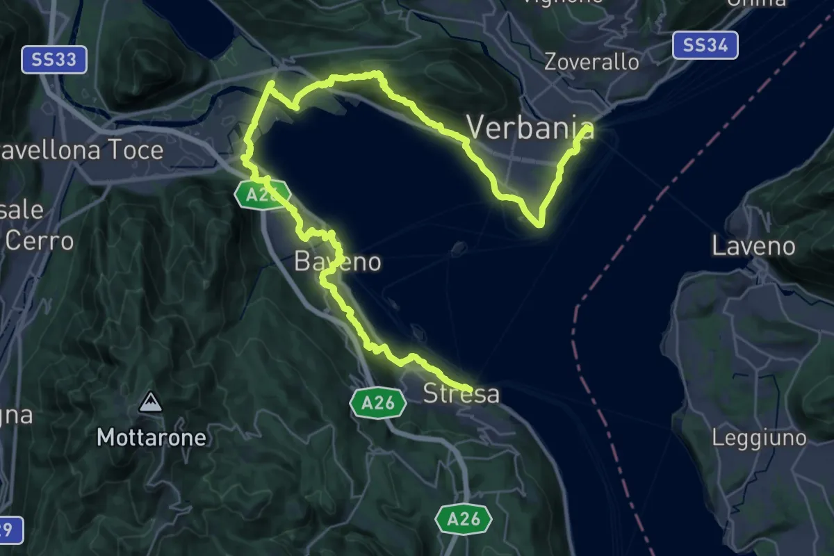
Demanding · Trail
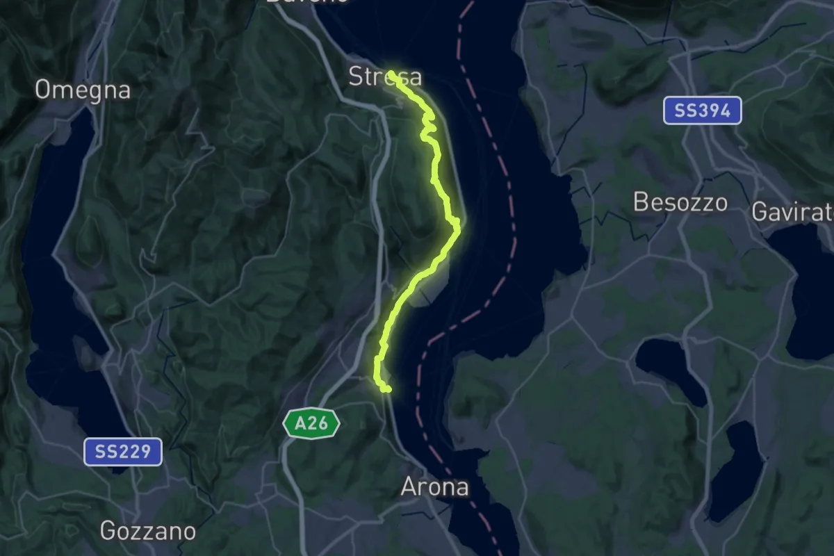
Cammino del Lago Maggiore
23.0 km · ↑ 579 m · 7 h · 13 km away
Medium · Trail
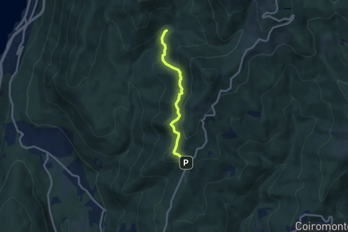
Cammino del Lago Maggiore
14.6 km · ↑ 450 m · 4 h 37 min · 13 km away
Medium · Trail
VP6 - Bivio VP5 - Madonna di Luciago
5.1 km · ↑ 338 m · 1 h 57 min · 13 km away
Demanding · Trail
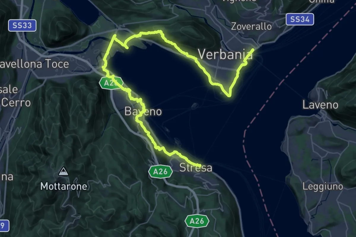
Grand Tour del Lago Maggiore ® - Tappa 1 - Verbania Intra - Stresa
23.6 km · ↑ 594 m · 7 h 11 min · 13 km away
Medium · Trail
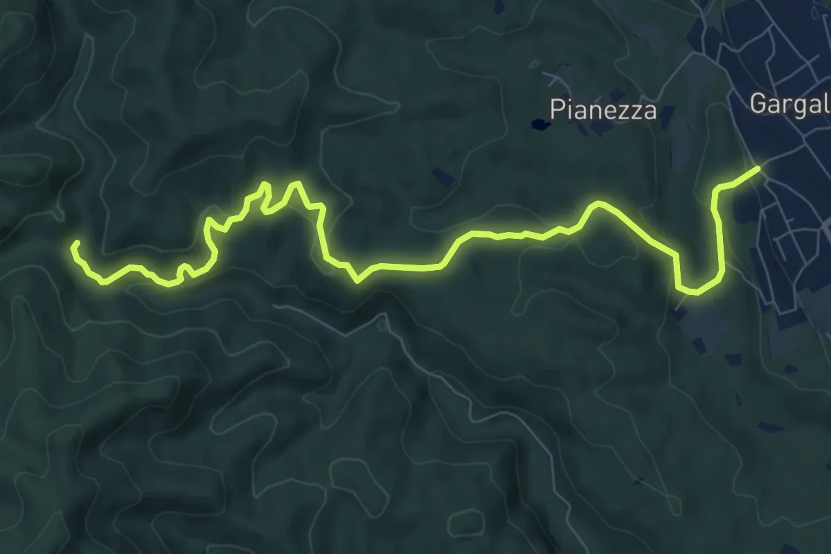
Gargallo – Bivio 790-798, Molino Ciotiro
10.2 km · ↑ 380 m · 3 h 14 min · 13 km away
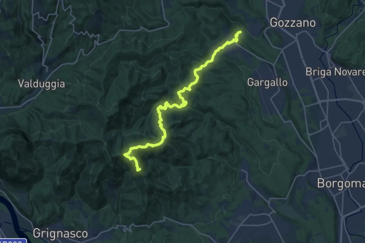
Demanding · Summit
Sentiero Novara tappa 17
19.2 km · ↑ 984 m · 6 h 39 min · 13 km away
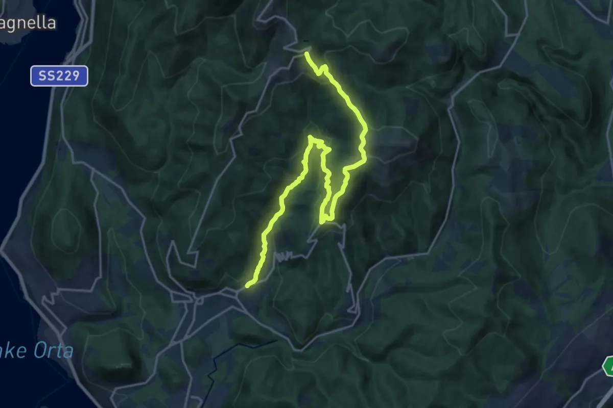
Demanding · Trail
VR3 - Armeno - Bivio V00
18.7 km · ↑ 862 m · 6 h 17 min · 13 km away
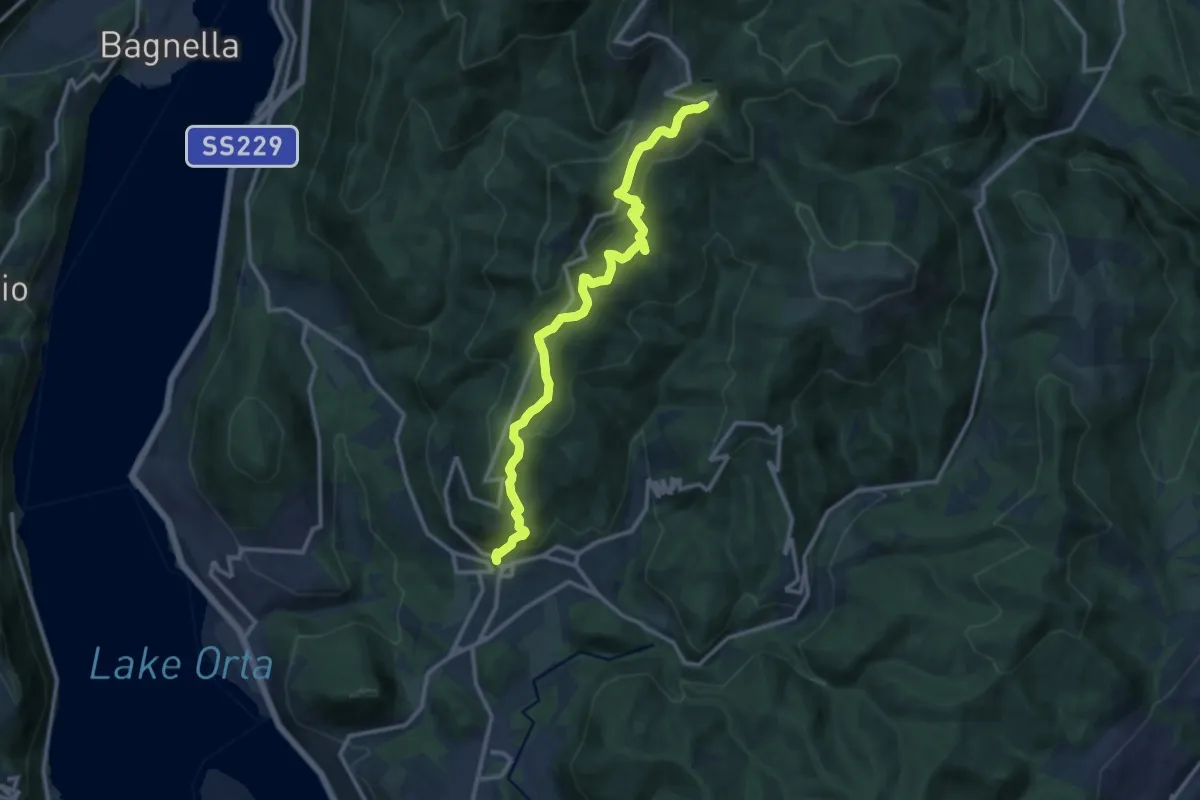
Medium · Trail
VR1 - Armeno - bivio V00 presso Alpe della Volpe
12.8 km · ↑ 754 m · 4 h 39 min · 13 km away
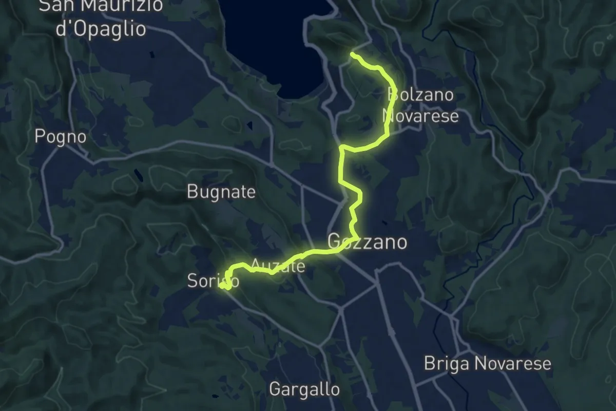
Medium · Trail
Bolzano Novarese, località Cascine della Torre, bivio NOAS10-NOATU2A – Soriso, bivio NOAS10-NOAT38
11.9 km · ↑ 235 m · 3 h 19 min · 13 km away