Trails near Angera
161 hikes starting within 15 km, nearest first.
Nearest first, page 4 of 4
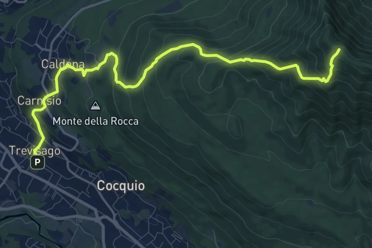
Demanding · Summit
Cocquio Trevisago – Forte di Orino
12.6 km · ↑ 832 m · 4 h 47 min · 13 km away
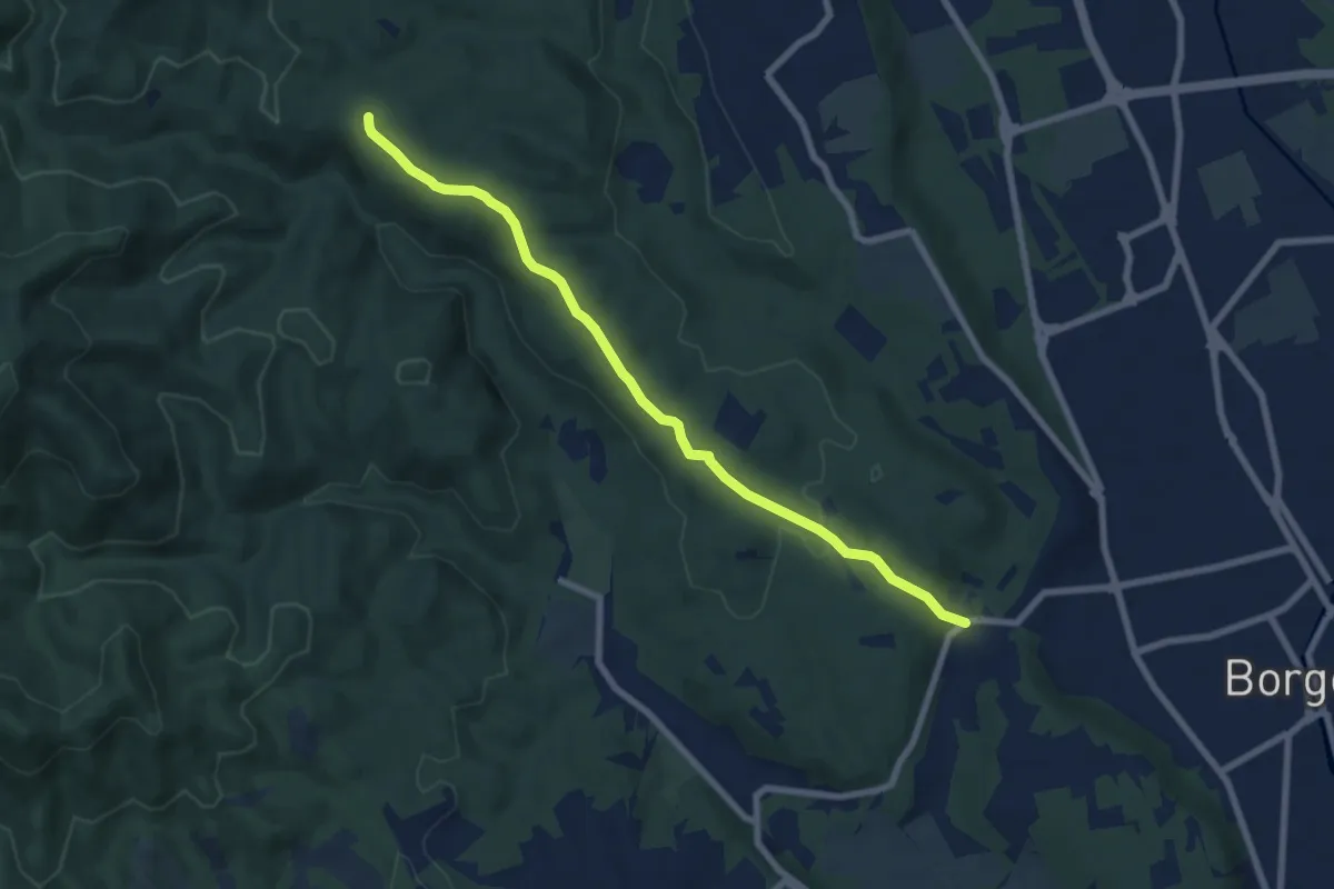
Easy · Trail
Vergano – Piazzale Quaranta
7.6 km · ↑ 164 m · 2 h 9 min · 13 km away
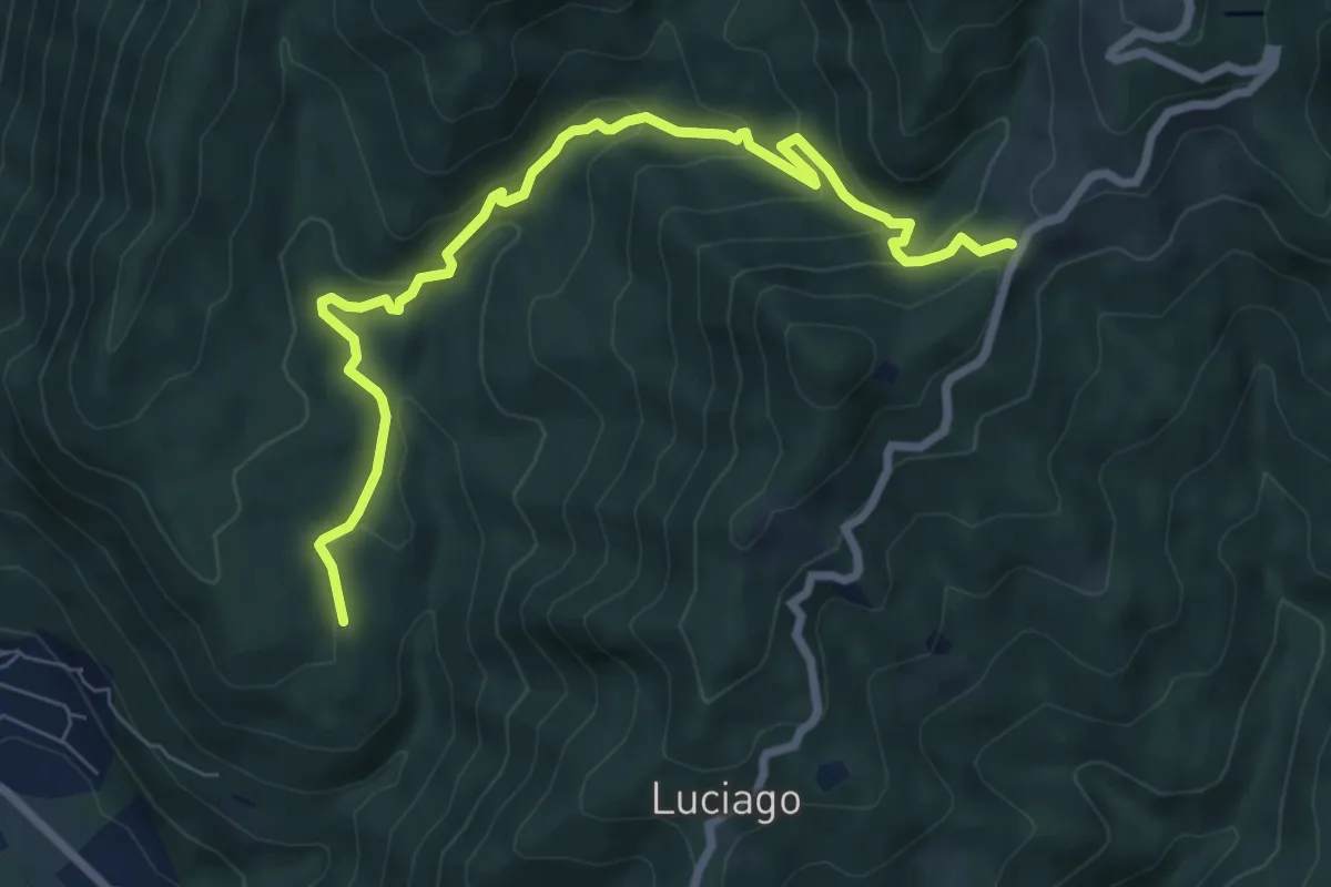
Medium · Trail
VP5 - Alpe Montepiano - Colle di Cortano
8.3 km · ↑ 450 m · 2 h 57 min · 13 km away
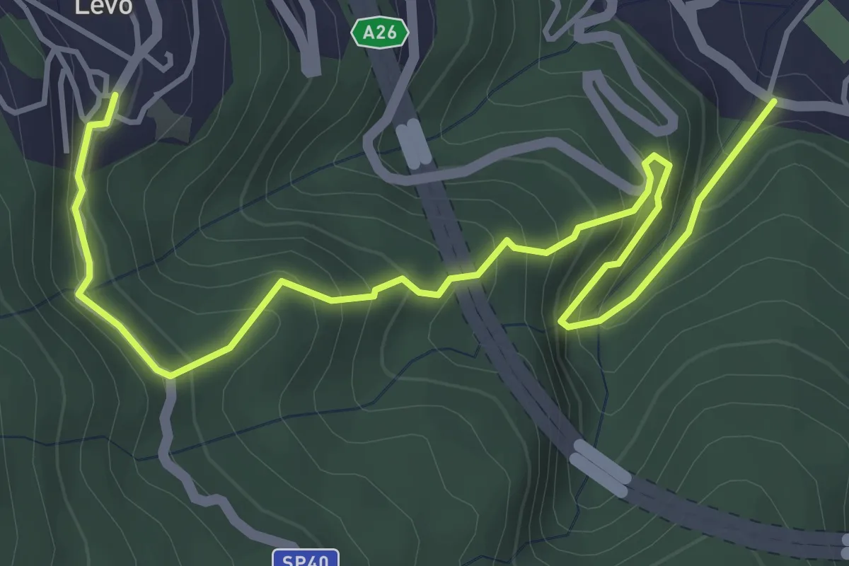
Medium · Trail
VL6 - Stresa - Levo
5.4 km · ↑ 565 m · 2 h 29 min · 13 km away
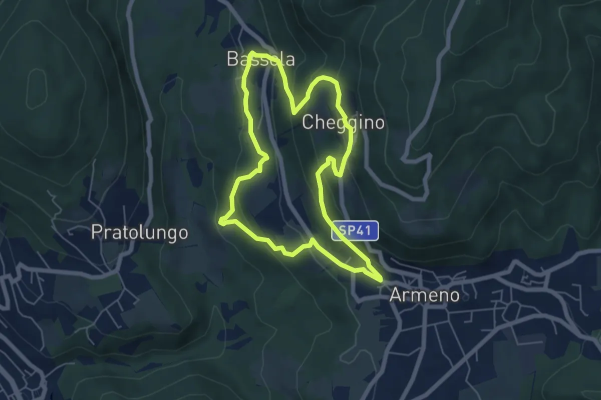
Easy · Trail
Armeno, anello Frazioni
4.8 km · ↑ 286 m · 1 h 50 min · 13 km away
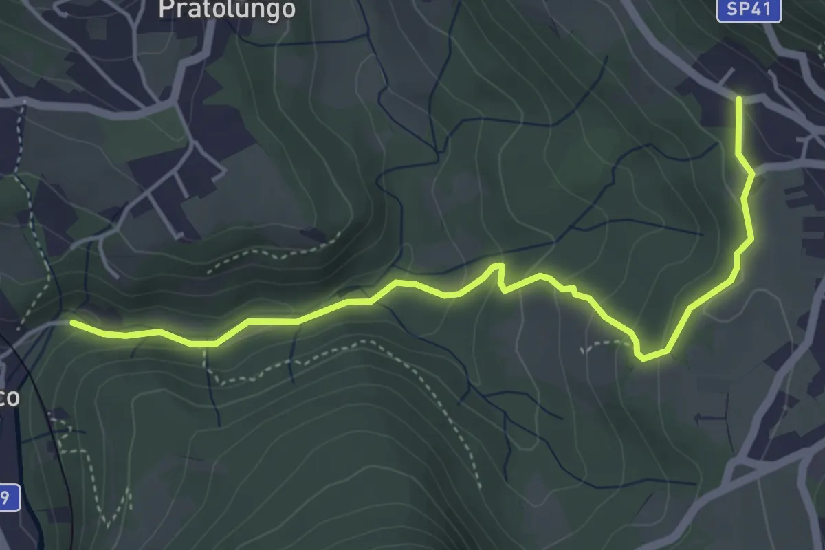
Easy · Trail
VP9a - Pettenasco - Armeno
4.9 km · ↑ 193 m · 1 h 34 min · 14 km away
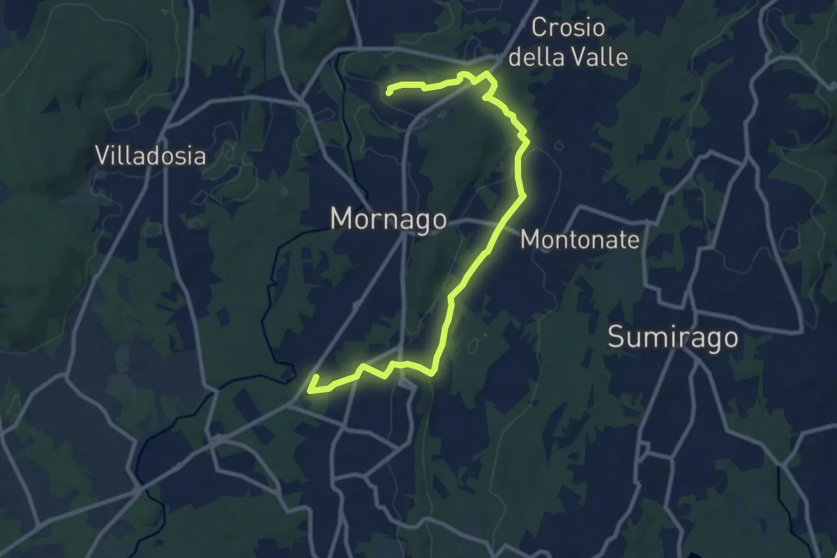
Medium · Trail
Piane Viscontee - Anello di Mornago
10.0 km · ↑ 100 m · 2 h 34 min · 14 km away
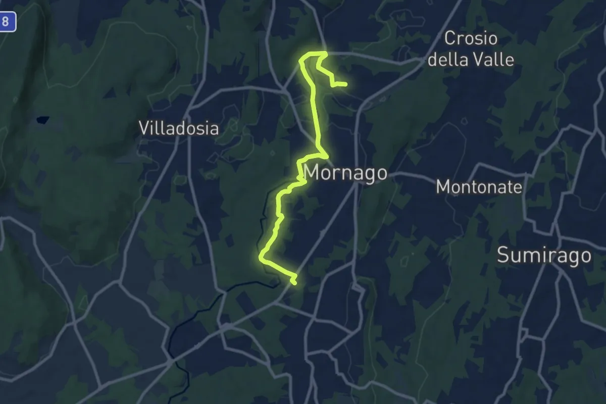
Medium · Trail
Piane Viscontee - Anello di Mornago
8.8 km · ↑ 63 m · 2 h 12 min · 14 km away
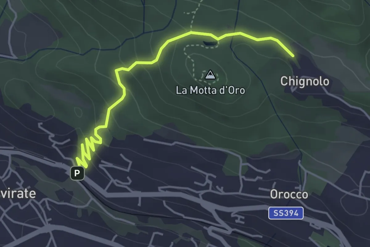
Easy · Trail
Gavirate – Percorso 311
4.3 km · ↑ 201 m · 1 h 26 min · 14 km away
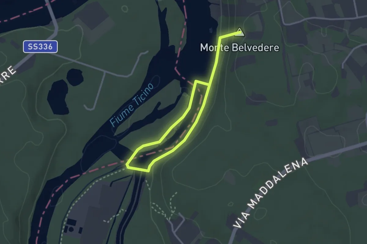
Easy · Summit
Dighe del Panperduto
4.0 km · ↑ 112 m · 1 h 12 min · 14 km away
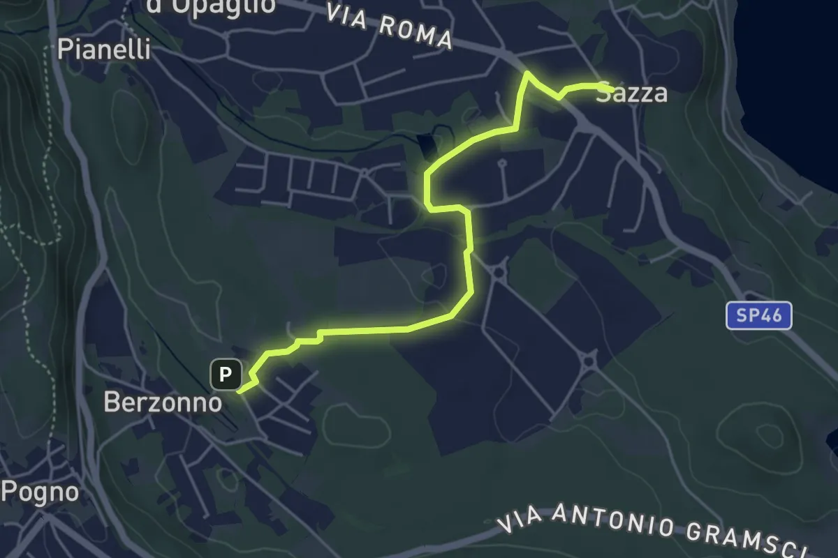
Easy · Trail
T38b - Torlacqua - Madonna delle Grazie
4.5 km · ↑ 48 m · 1 h 10 min · 14 km away
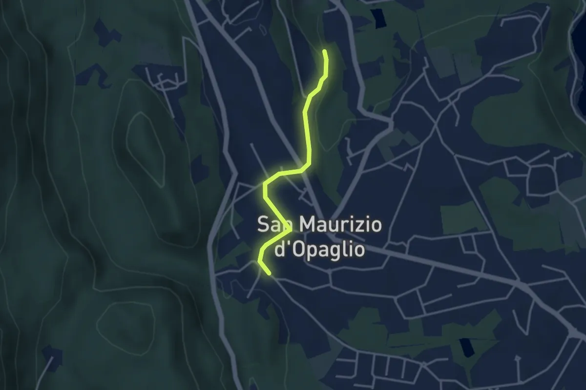
Easy · Trail
San Maurizio d'Opaglio, bivio NOAT37A-NOAT37A – San Maurizio d'Opaglio, bivio NOAT38-NOA37A
2.7 km · ↑ 48 m · 44 min · 14 km away
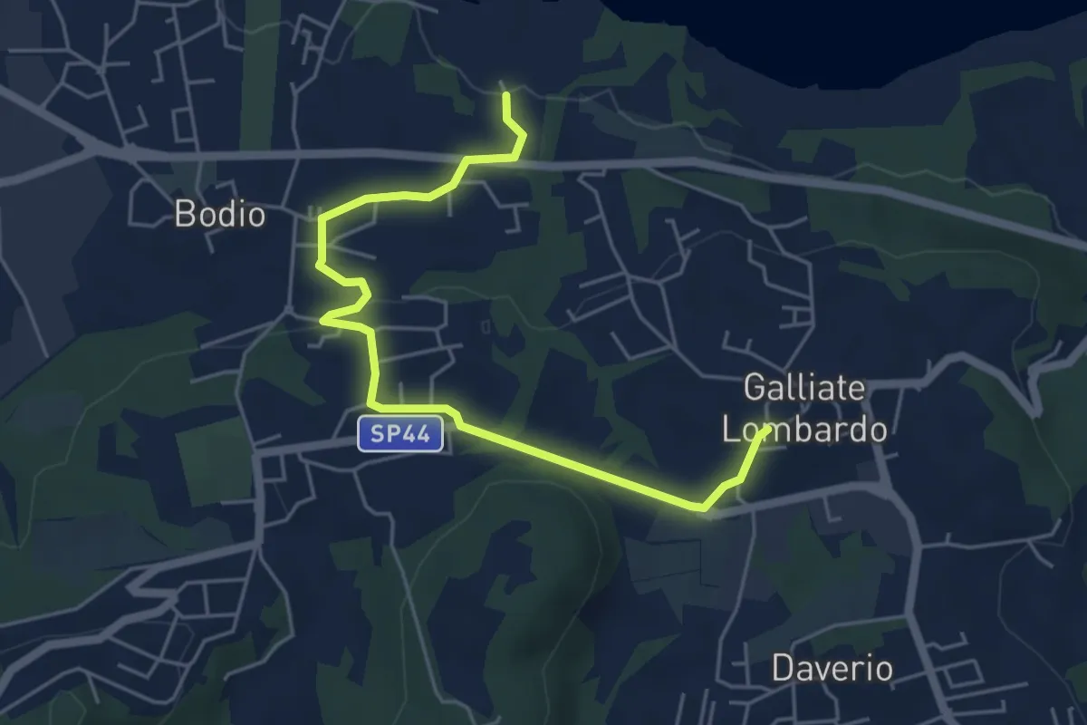
Easy · Trail
Piane Viscontee - Anello di Galliate Lombardo
5.5 km · ↑ 118 m · 1 h 33 min · 15 km away
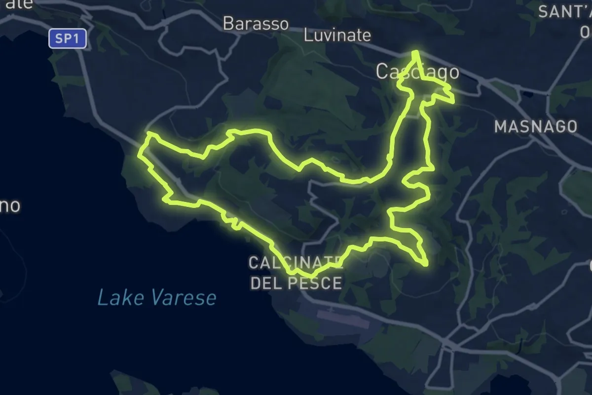
Medium · Trail
Tigros Gavirate – Tigros Gavirate
14.7 km · ↑ 280 m · 4 h 17 min · 15 km away
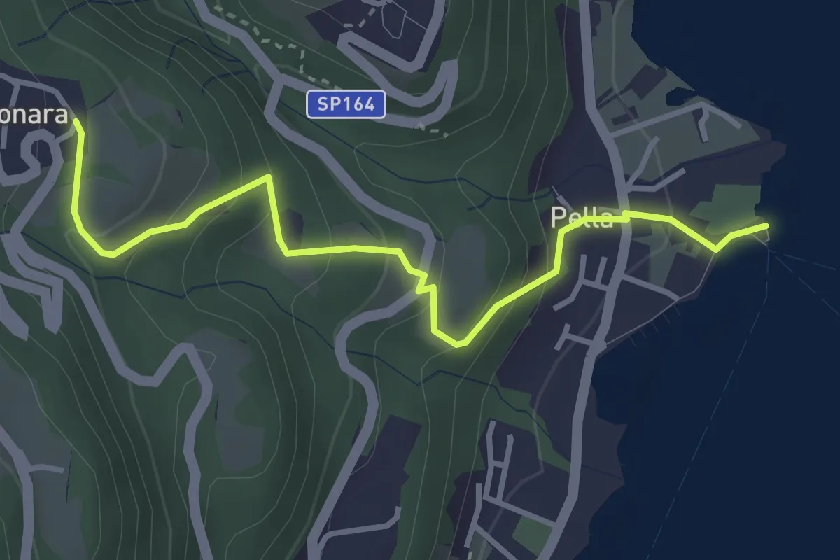
Easy · Trail
Pella scalo – Centonara, bivio NOAT36-VBAT36
3.6 km · ↑ 226 m · 1 h 20 min · 15 km away
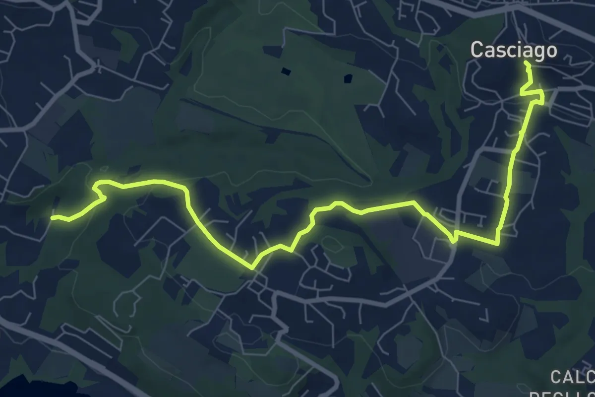
Medium · Trail
Sentiero 321
8.6 km · ↑ 236 m · 2 h 33 min · 15 km away
Medium · Trail
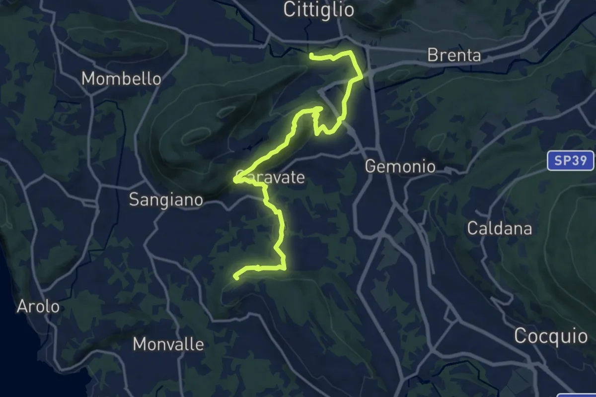
285 Cittiglio/Cascina Gravezzano
14.1 km · ↑ 394 m · 4 h 11 min · 15 km away