Trails near Angri
125 hikes starting within 15 km, nearest first.
Nearest first, page 2 of 3
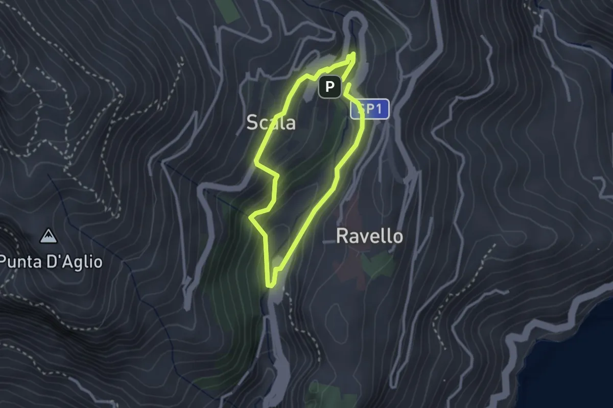
Easy · Trail
Anello del Dragone
2.3 km · ↑ 139 m · 53 min · 10 km away
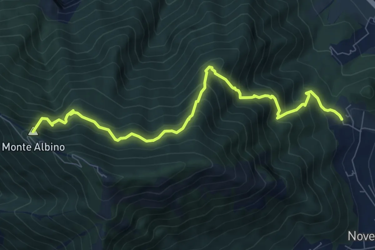
Demanding · Summit
San Martino (Cava de' Tirreni) – Loc. Le Chiancolelle
8.8 km · ↑ 1007 m · 4 h 15 min · 10 km away
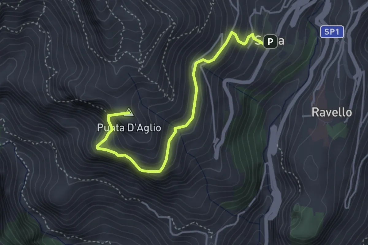
Medium · Summit
Scala – Incrocio 301 (loc. Pellagra)
4.4 km · ↑ 683 m · 2 h 32 min · 10 km away
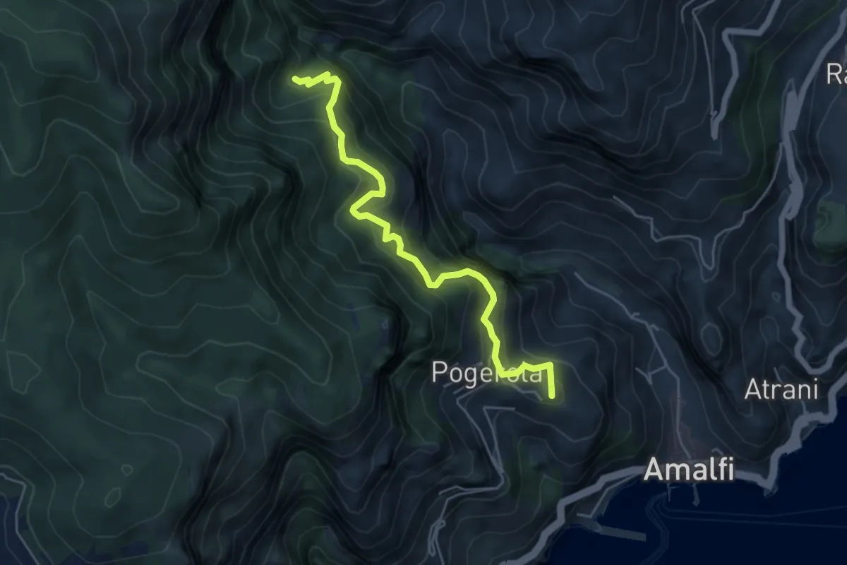
Medium · Summit
Sentiero dei Castagneti di Tavernate
5.5 km · ↑ 616 m · 2 h 39 min · 10 km away
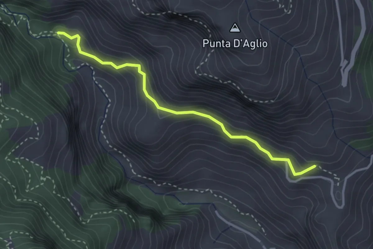
Medium · Trail
Pontone (Scala) – Incrocio 325 (Rudere dela Ferriera)
3.3 km · ↑ 273 m · 1 h 22 min · 10 km away
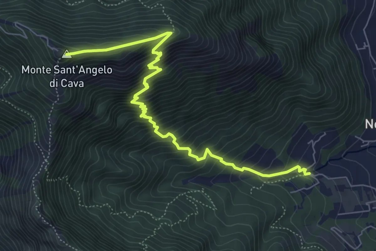
Medium · Summit
La Via della Neve
7.6 km · ↑ 776 m · 3 h 29 min · 10 km away
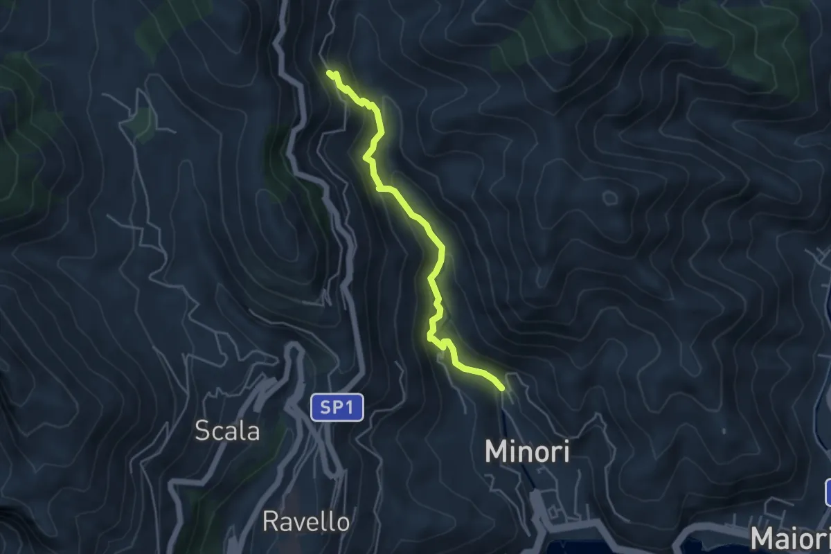
Medium · Trail
Loc. Villamena (Minori) – Loc. Sambuco
4.5 km · ↑ 332 m · 1 h 47 min · 10 km away
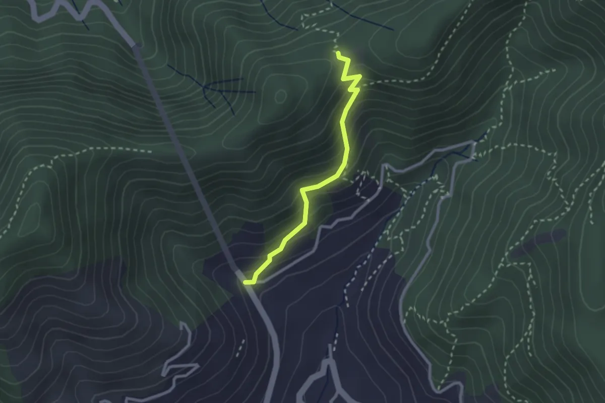
Medium · Trail
Le Palommelle
2.5 km · ↑ 211 m · 1 h 2 min · 10 km away
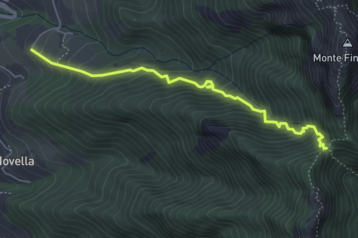
Medium · Trail
Sentiero delle Tramontane
5.0 km · ↑ 601 m · 2 h 28 min · 10 km away
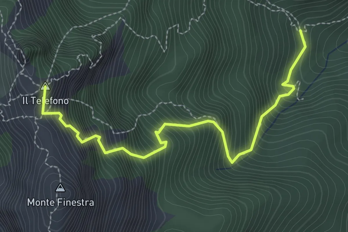
Demanding · Summit
Incrocio 308 – Incrocio 300 (Forcella di Monte Finestra)
3.2 km · ↑ 607 m · 2 h 5 min · 10 km away
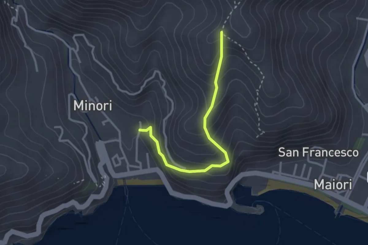
Medium · Trail
Minori – Incrocio 315a
2.8 km · ↑ 273 m · 1 h 15 min · 10 km away
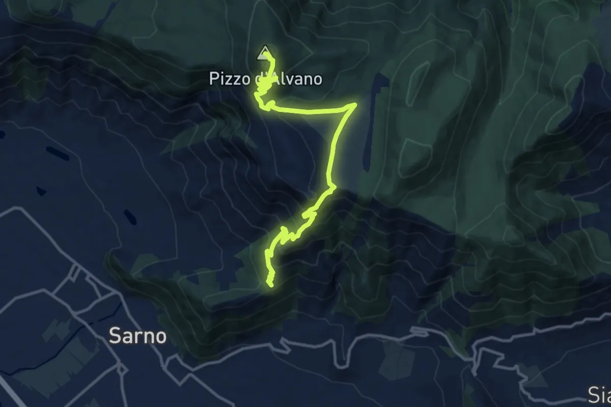
Demanding · Summit
Pian della Colla (Sarno) – Pizzo d'Alvano
13.2 km · ↑ 807 m · 4 h 52 min · 10 km away
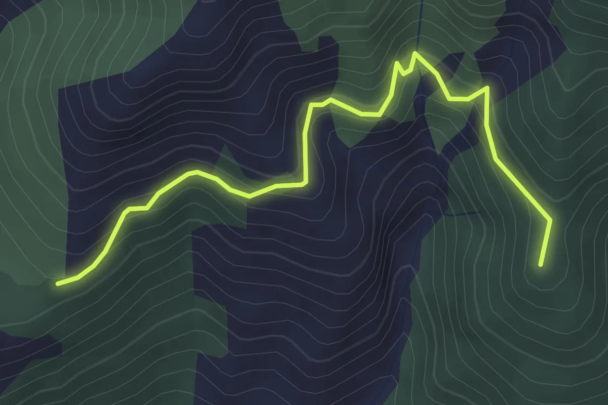
Medium · Summit
Pian della Colla (Sarno) – Cappella di Siano
4.0 km · ↑ 419 m · 1 h 52 min · 10 km away
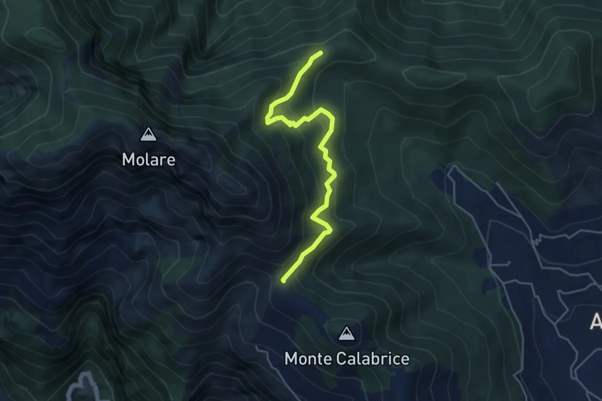
Medium · Summit
Capo Muro – Incrocio 300 Colle Garofalo
4.5 km · ↑ 476 m · 2 h 6 min · 11 km away
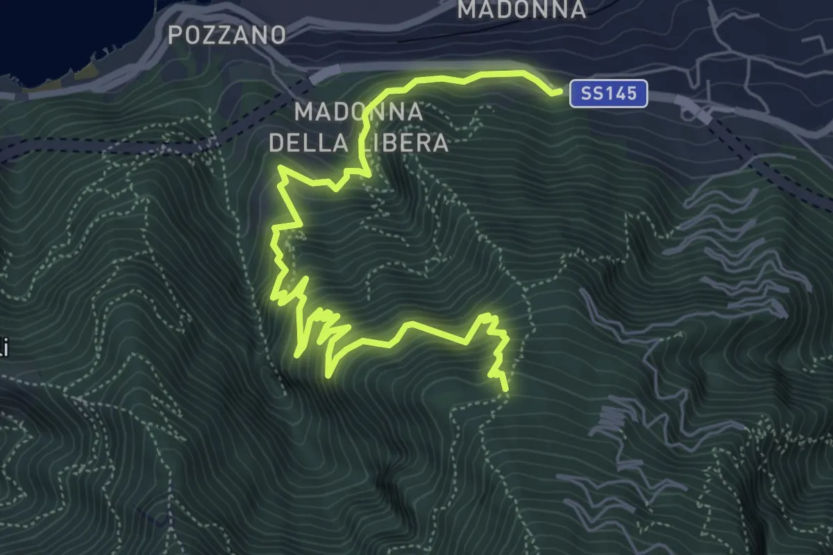
Demanding · Trail
Sentiero di Villa Notari
8.5 km · ↑ 811 m · 3 h 47 min · 11 km away
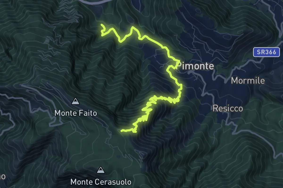
Demanding · Trail
Le tese di Pimonte
14.4 km · ↑ 1222 m · 6 h 3 min · 11 km away
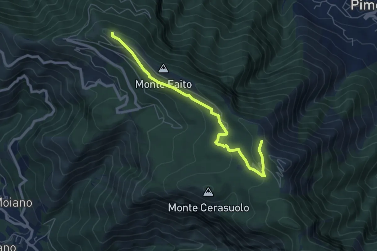
Easy · Trail
Piazzale della funivia – Cercasole
6.0 km · ↑ 251 m · 1 h 58 min · 11 km away
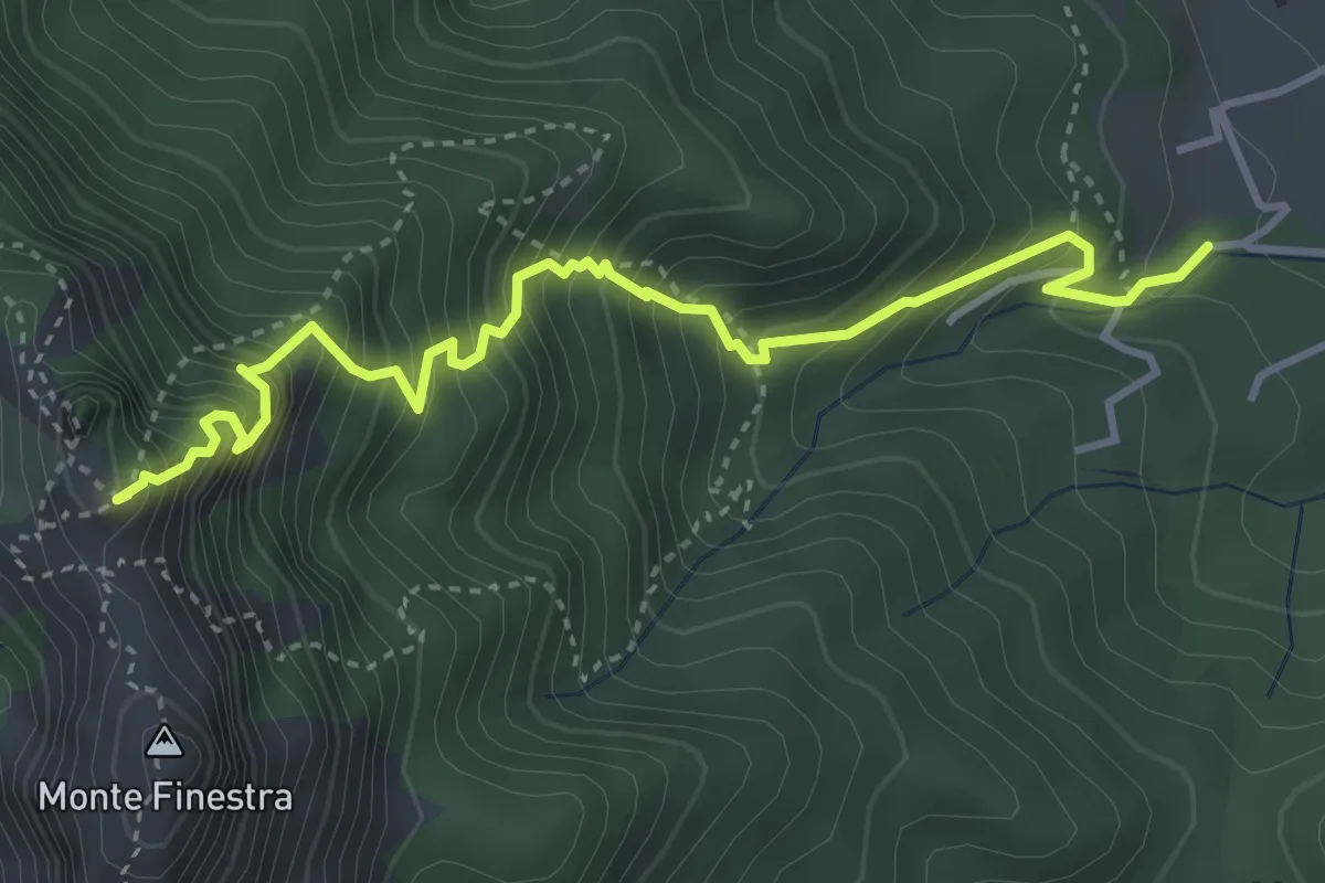
Medium · Summit
Sentiero Sergio Rosa
4.7 km · ↑ 741 m · 2 h 42 min · 11 km away
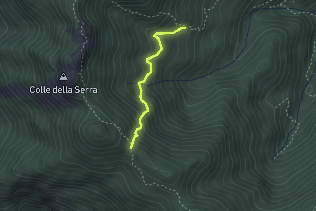
Medium · Trail
Innesto 306 – Foce di Pucara
2.2 km · ↑ 281 m · 1 h 8 min · 11 km away
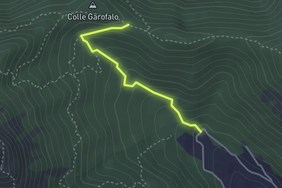
Medium · Trail
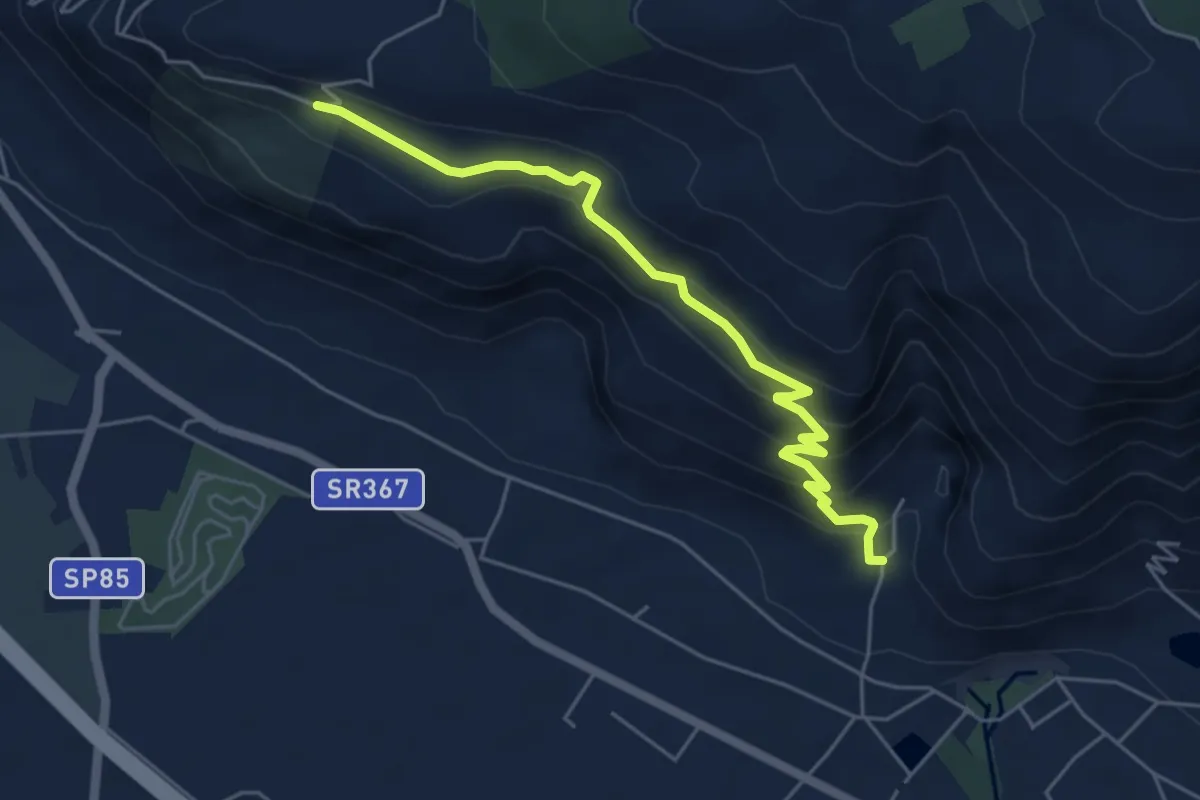
Mattatoio di Agerola – Crocella
2.6 km · ↑ 189 m · 1 h 1 min · 11 km away
Medium · Trail
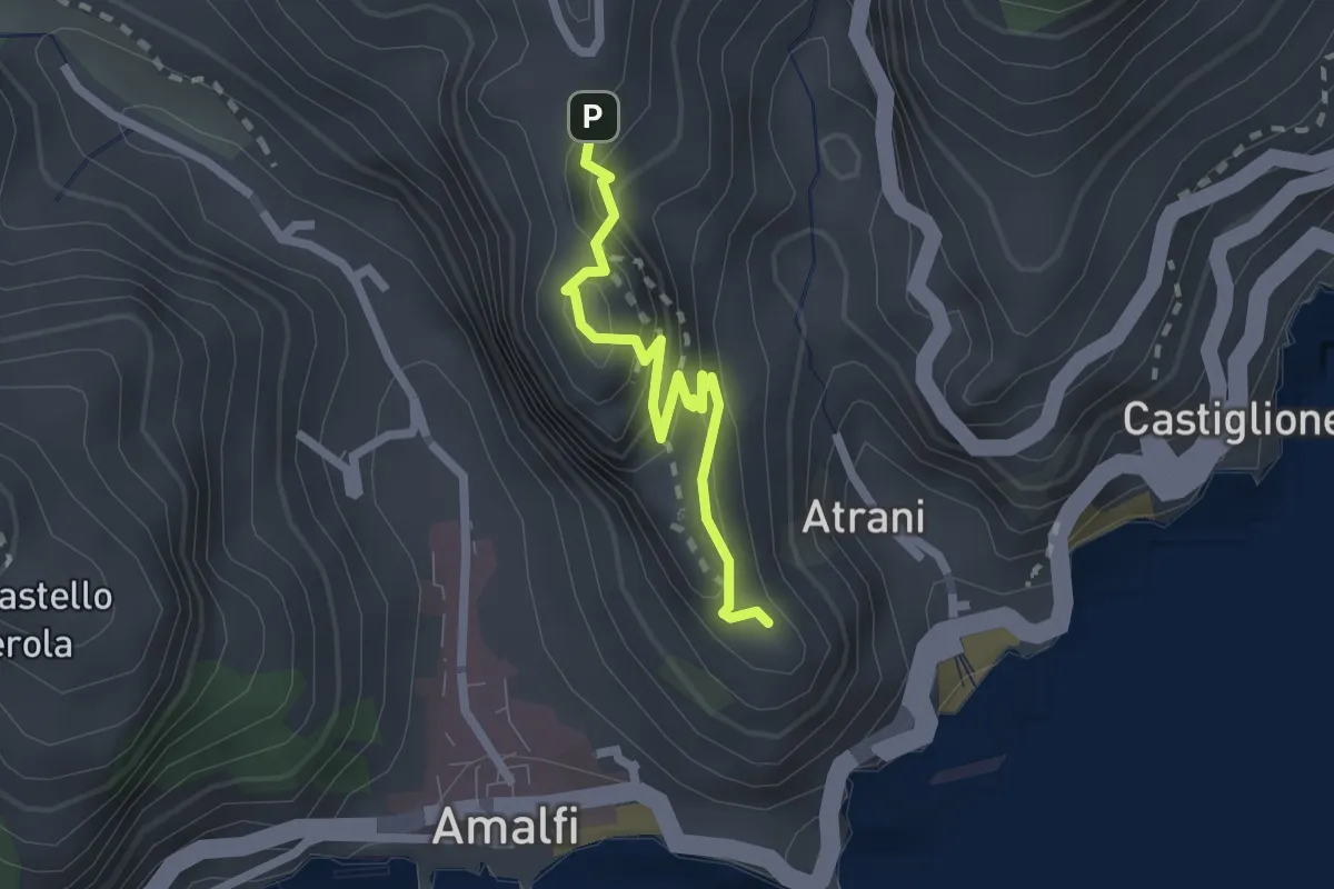
vallone monaco -salita delle pezze
5.8 km · ↑ 323 m · 2 h 4 min · 11 km away
Easy · Trail
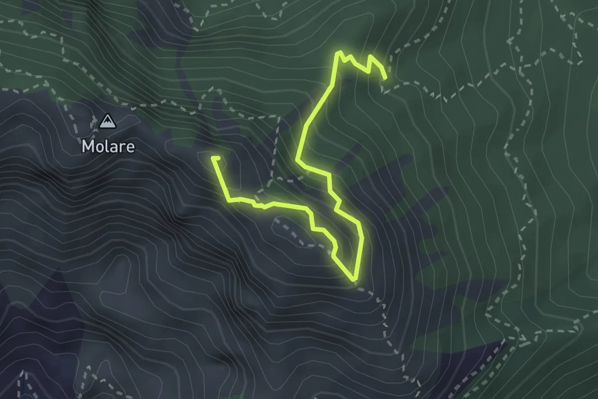
Pontone (Scala) – Torre dello Ziro
2.2 km · ↑ 152 m · 51 min · 11 km away
Expert · Summit
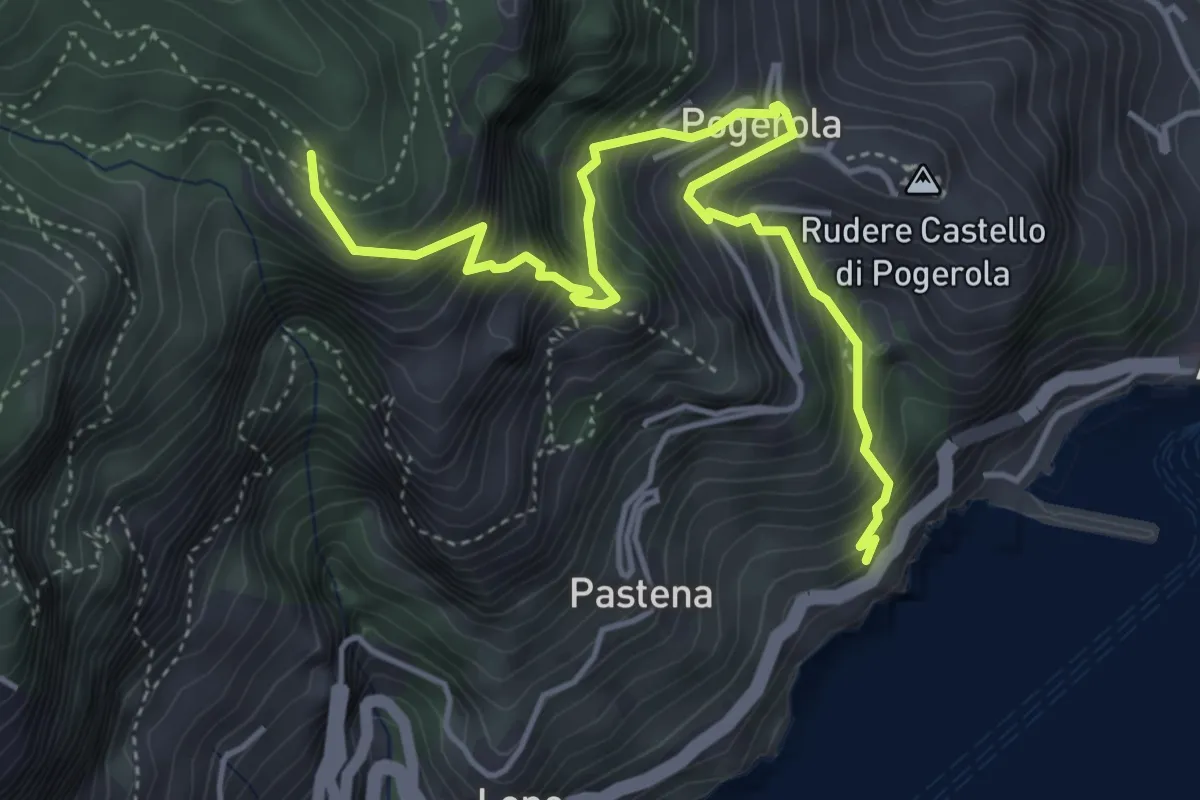
Capo Muro – Canino
3.0 km · ↑ 364 m · 1 h 29 min · 11 km away
Medium · Trail
Sentiero della Madonna dei Fondi
5.6 km · ↑ 740 m · 2 h 56 min · 11 km away
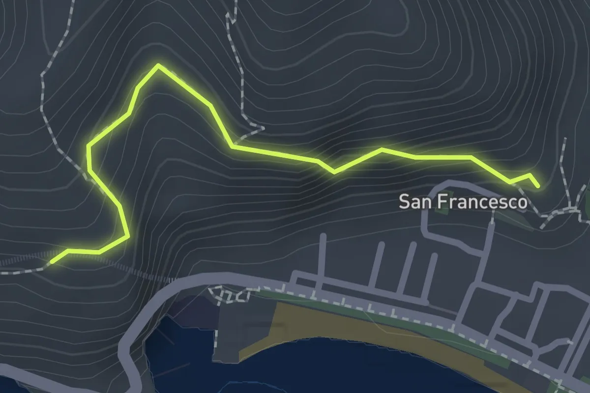
Easy · Trail
Via dei Limoni
2.1 km · ↑ 188 m · 55 min · 11 km away
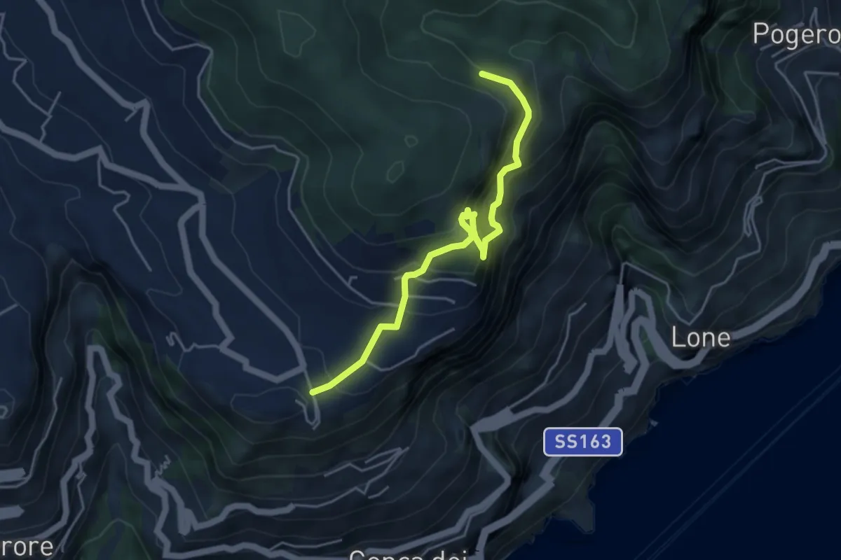
Expert · Trail
Ferrata di Cospita
4.7 km · ↑ 493 m · 2 h 11 min · 11 km away
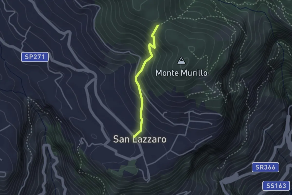
Medium · Trail
S.Lazzaro Piazza Avitabile – Incrocio 301 Monte
2.4 km · ↑ 226 m · 1 h 3 min · 11 km away
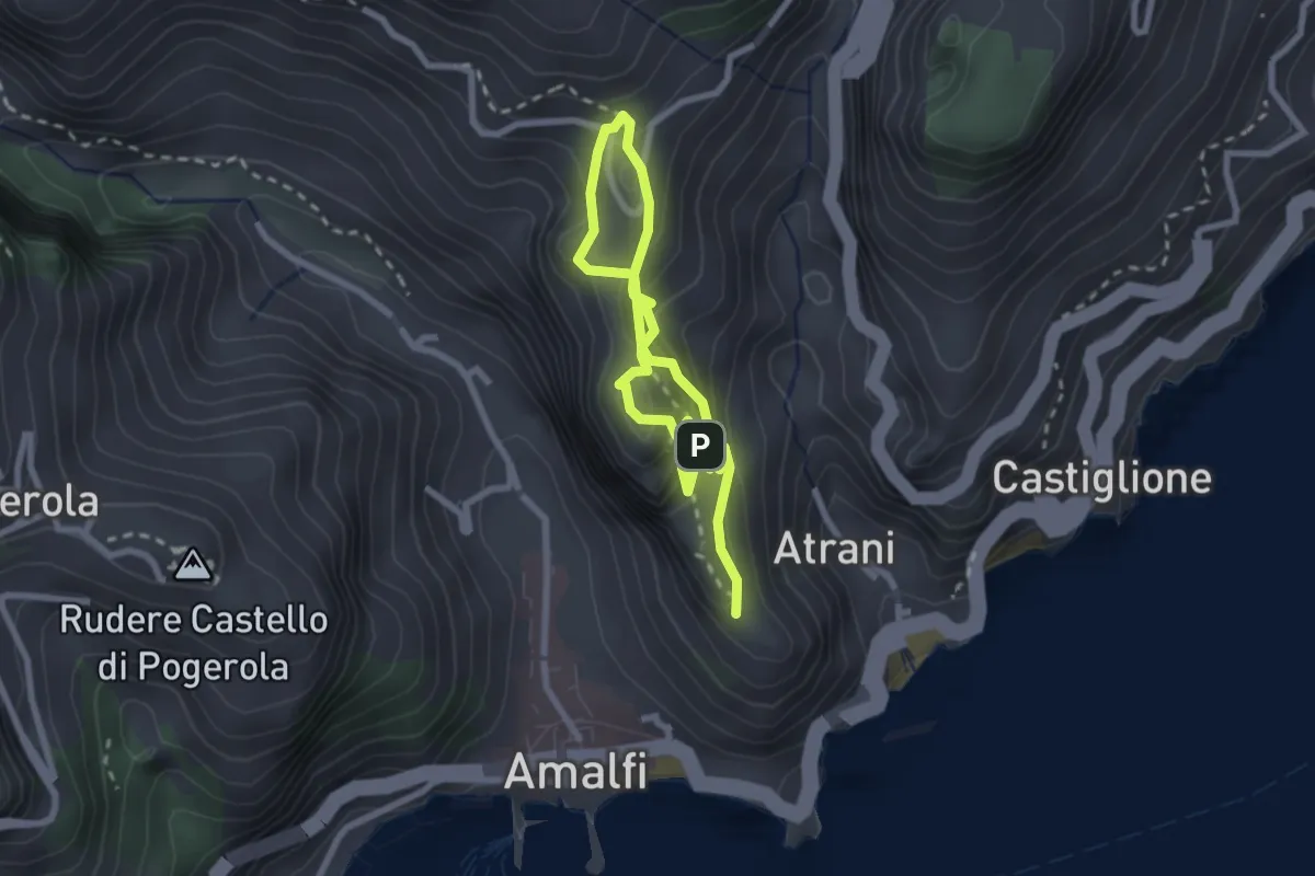
Easy · Trail
La Torre dello Ziro
2.0 km · ↑ 143 m · 50 min · 11 km away
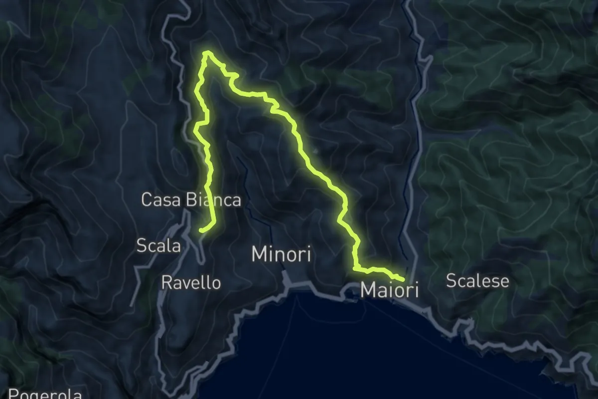
Demanding · Trail
Maiori – Ravello
14.2 km · ↑ 1089 m · 5 h 43 min · 11 km away
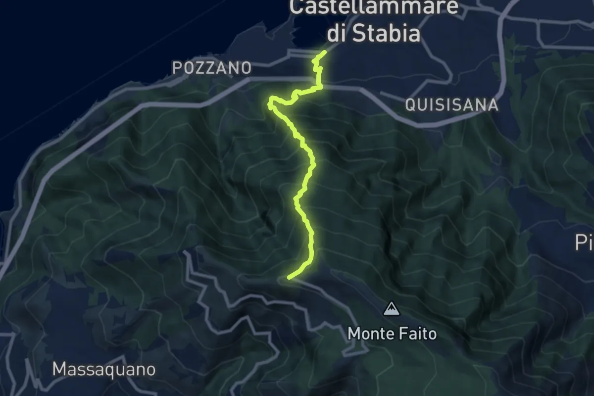
Demanding · Trail
'A casarella 'o monte
7.4 km · ↑ 1076 m · 4 h 5 min · 11 km away
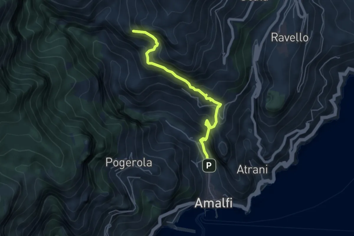
Medium · Trail
Amalfi – Punta D'Aglio
5.2 km · ↑ 623 m · 2 h 35 min · 11 km away
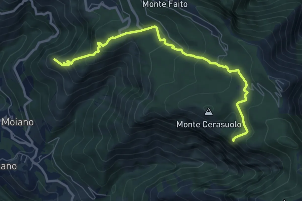
Expert · Summit
Moiano – incrocio 338
7.4 km · ↑ 486 m · 2 h 48 min · 12 km away
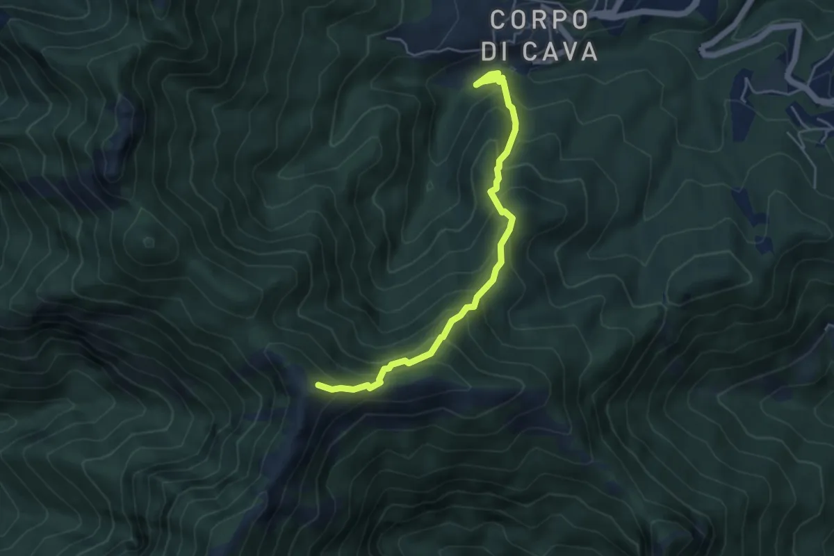
Medium · Trail
Pertone – Aria del Grano
4.9 km · ↑ 531 m · 2 h 18 min · 12 km away
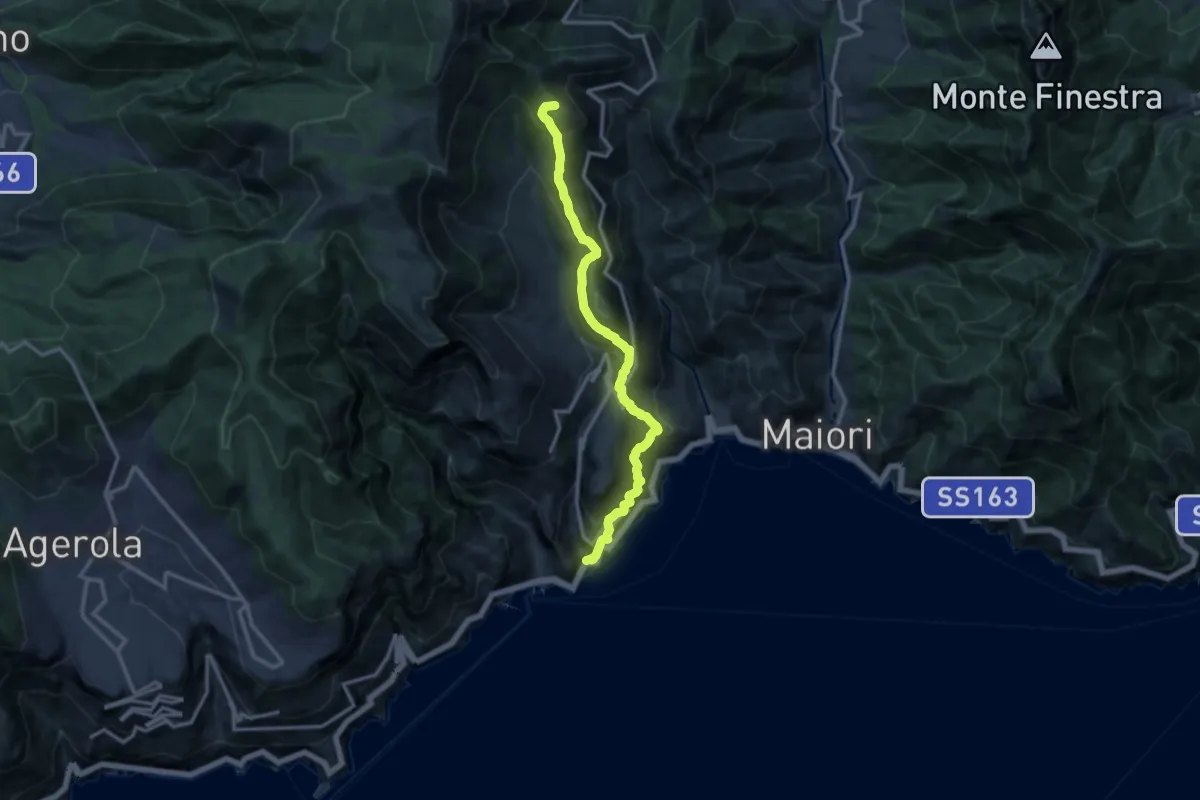
Demanding · Summit
Atrani – Loc. Cerreto
13.7 km · ↑ 1139 m · 5 h 42 min · 12 km away
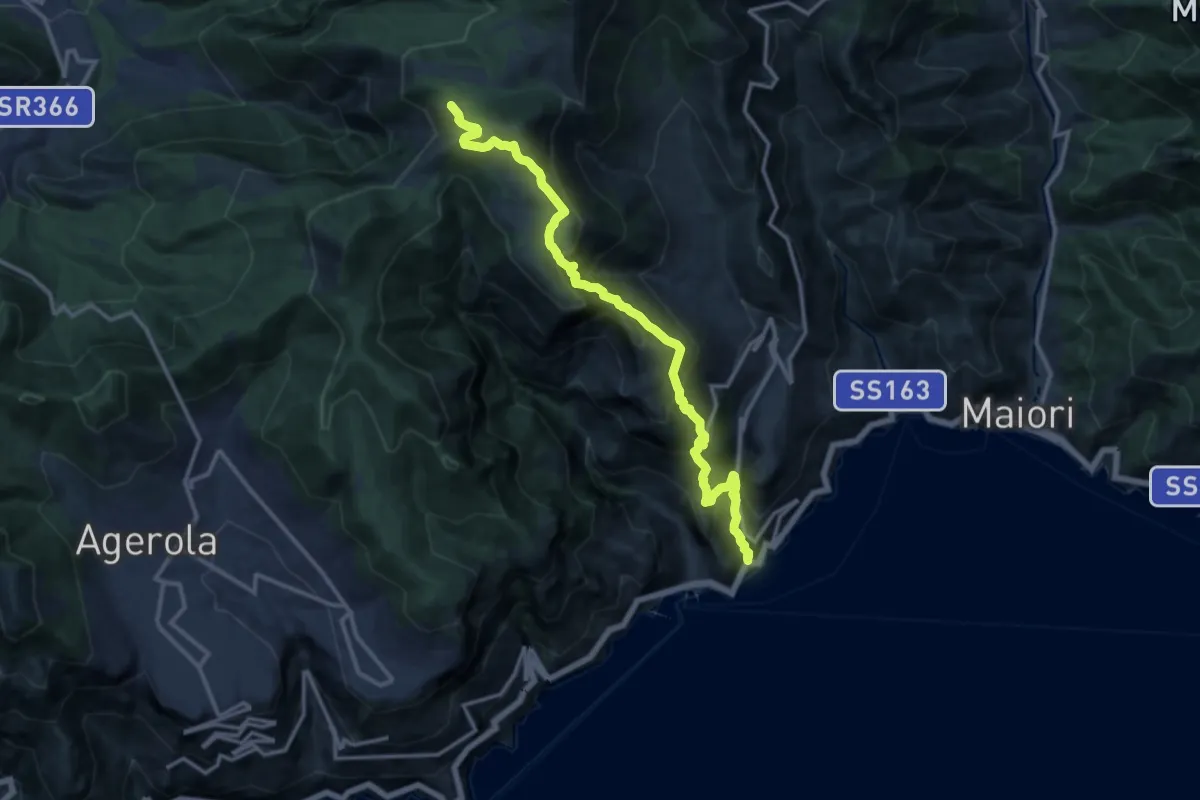
Demanding · Trail
Atrani – Incrocio 300
15.2 km · ↑ 1463 m · 6 h 45 min · 12 km away
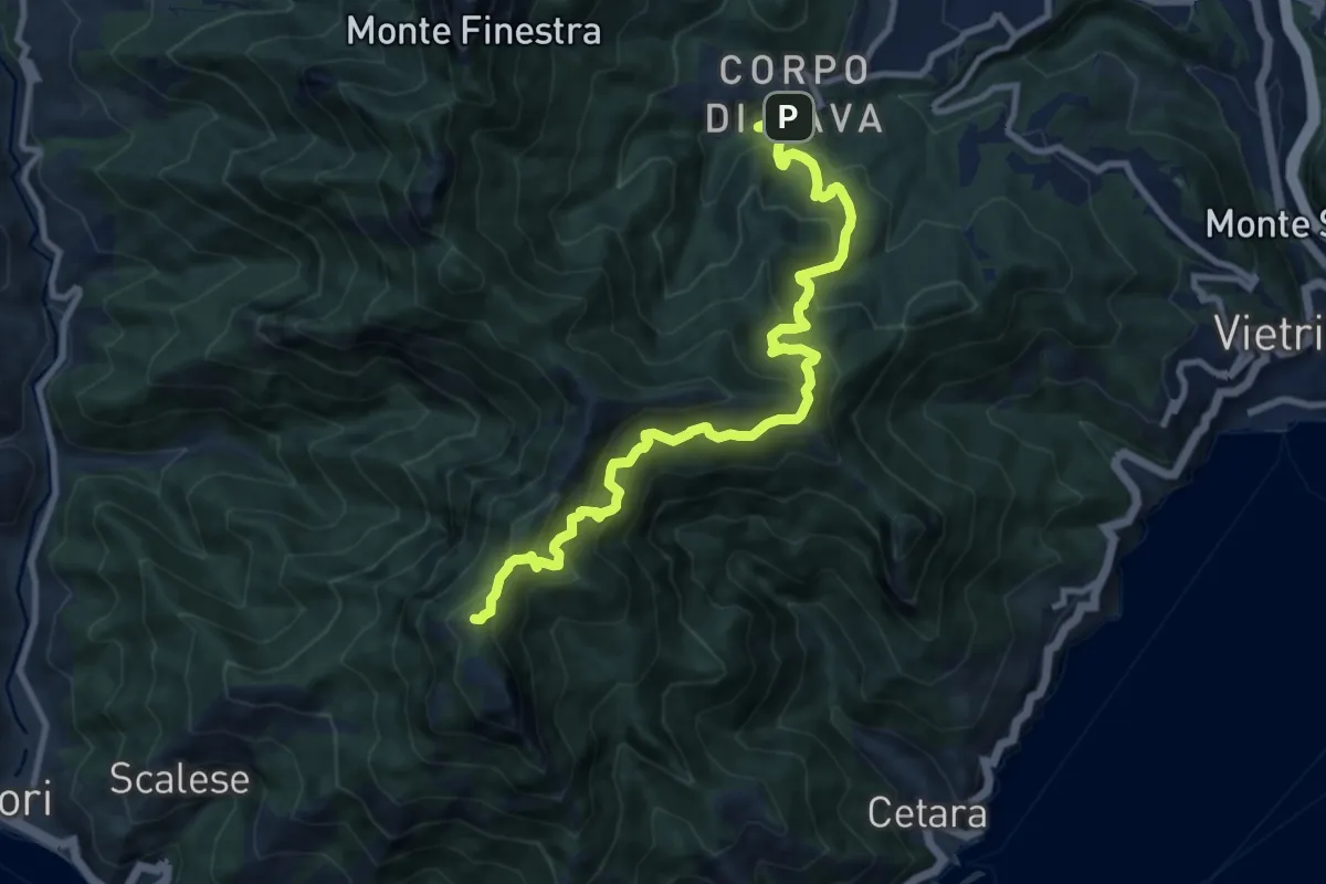
Demanding · Summit
Alta Via dei Monti Lattari - 01
12.0 km · ↑ 1182 m · 5 h 24 min · 12 km away
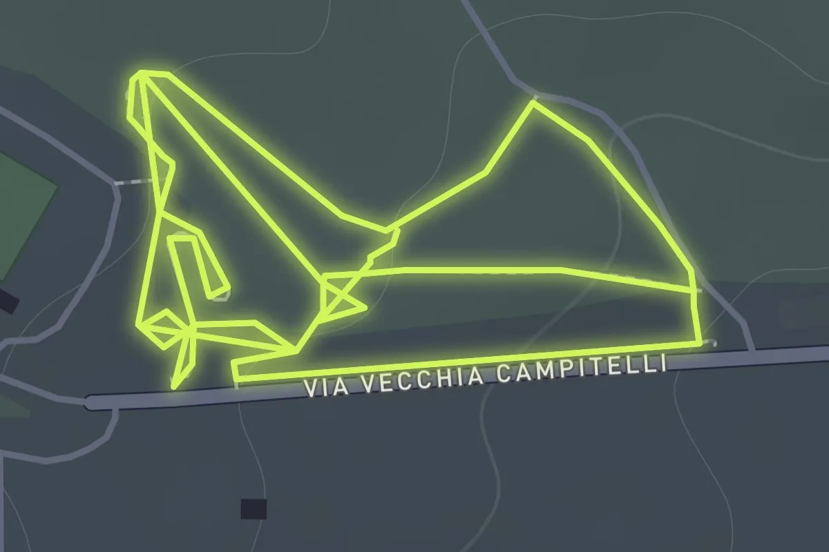
Easy · Trail
Sentiero 11: La Pineta Di Terzigno
2.1 km · ↑ 31 m · 36 min · 12 km away
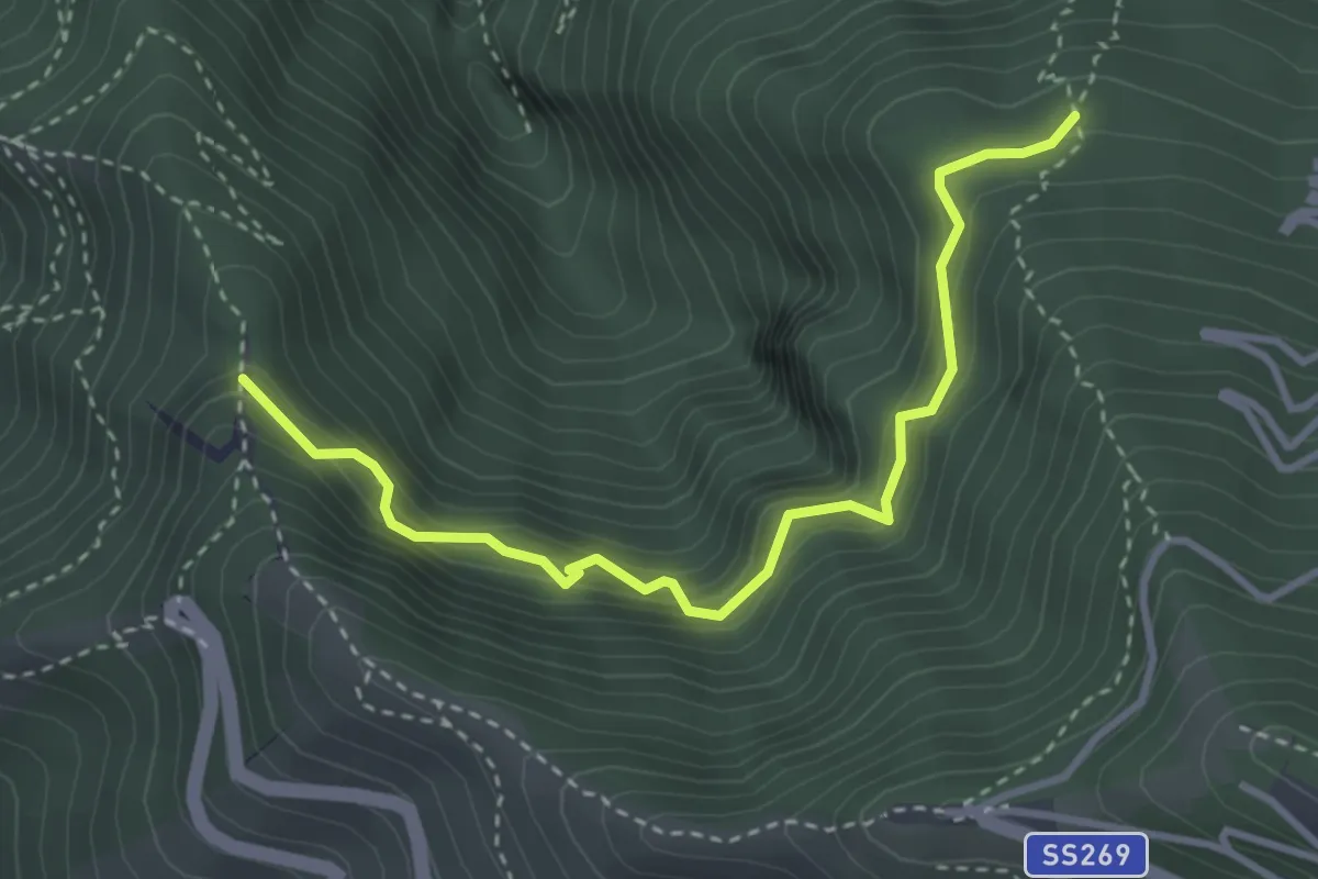
Medium · Trail
Sentiero della cisterna Menatora
3.9 km · ↑ 383 m · 1 h 45 min · 12 km away
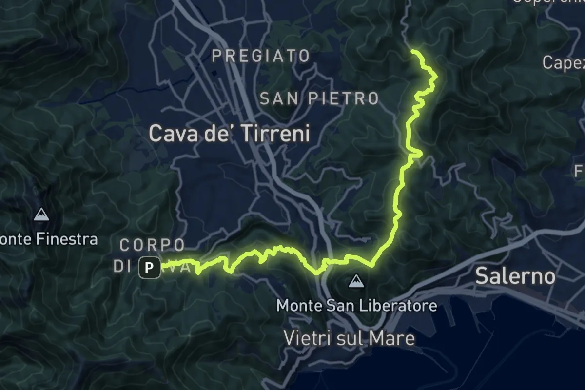
Demanding · Trail
Varco della Foce – Corpo di Cava
19.4 km · ↑ 1165 m · 7 h 6 min · 12 km away
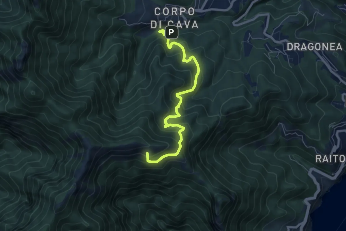
Medium · Summit
Corpo di Cava – Avvocata
6.9 km · ↑ 663 m · 3 h 4 min · 12 km away
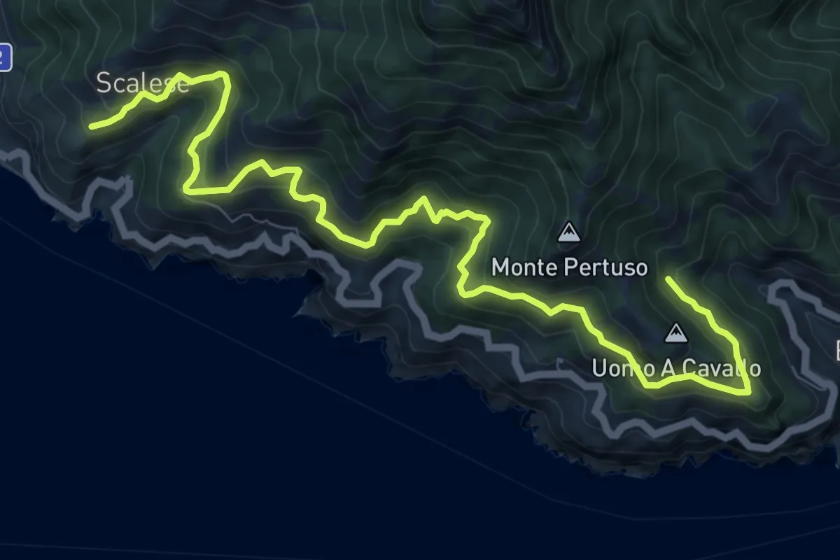
Demanding · Trail
San Vito (Maiori) – Incrocio 305 (Erchie)
12.4 km · ↑ 1116 m · 5 h 21 min · 12 km away
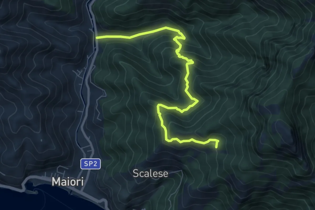
Medium · Trail
Vecite (Maiori) – Incrocio 307
8.7 km · ↑ 652 m · 3 h 28 min · 12 km away
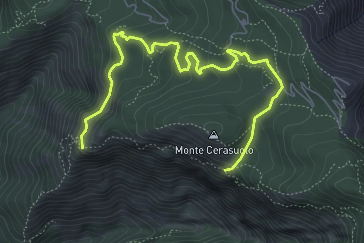
Medium · Trail
Sentiero dei faggi secolari
6.8 km · ↑ 437 m · 2 h 33 min · 12 km away
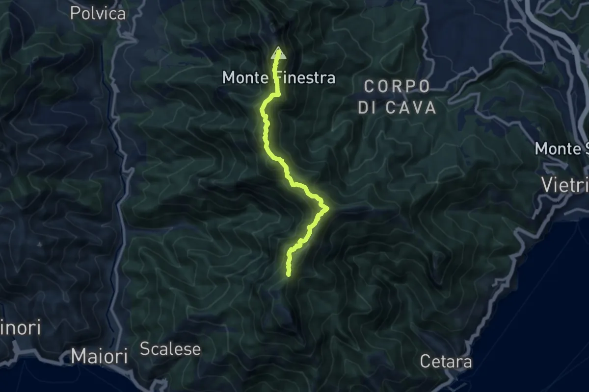
Demanding · Summit
Alta Via dei Monti Lattari - 02
9.0 km · ↑ 852 m · 3 h 59 min · 12 km away
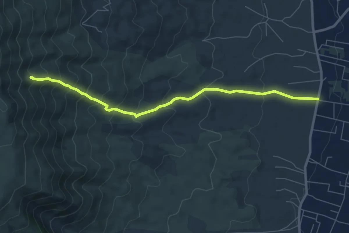
Medium · Trail
Sentiero 7: Il Vallone della Profica
6.8 km · ↑ 549 m · 2 h 48 min · 12 km away
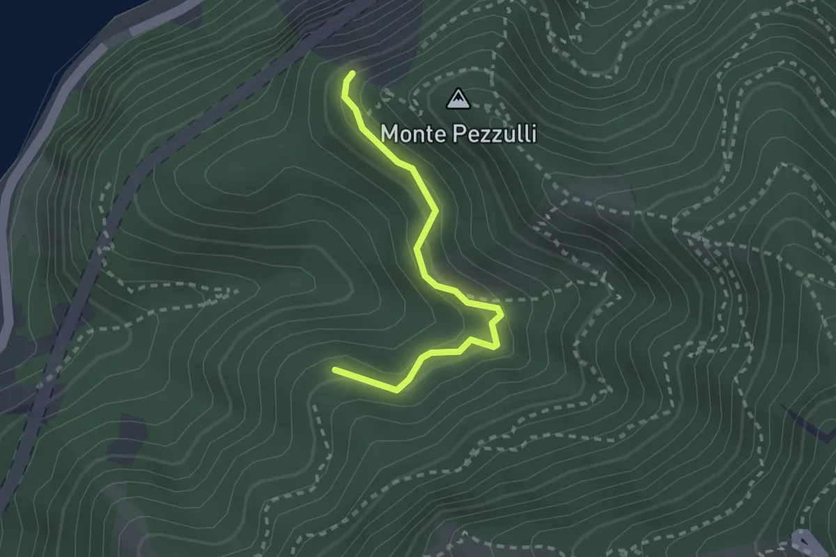
Easy · Trail
Sentiero della Sperlonga
2.4 km · ↑ 253 m · 1 h 7 min · 12 km away
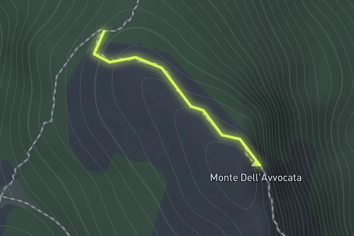
Medium · Summit
Variante per Vetta Avvocata
0.7 km · ↑ 86 m · 21 min · 12 km away
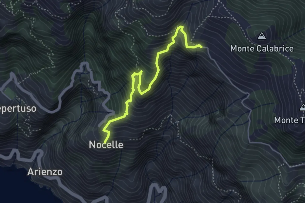
Medium · Trail
Paipo – Nocelle
4.3 km · ↑ 709 m · 2 h 34 min · 12 km away