Trails near Angri
125 hikes starting within 15 km, nearest first.
Nearest first, page 3 of 3
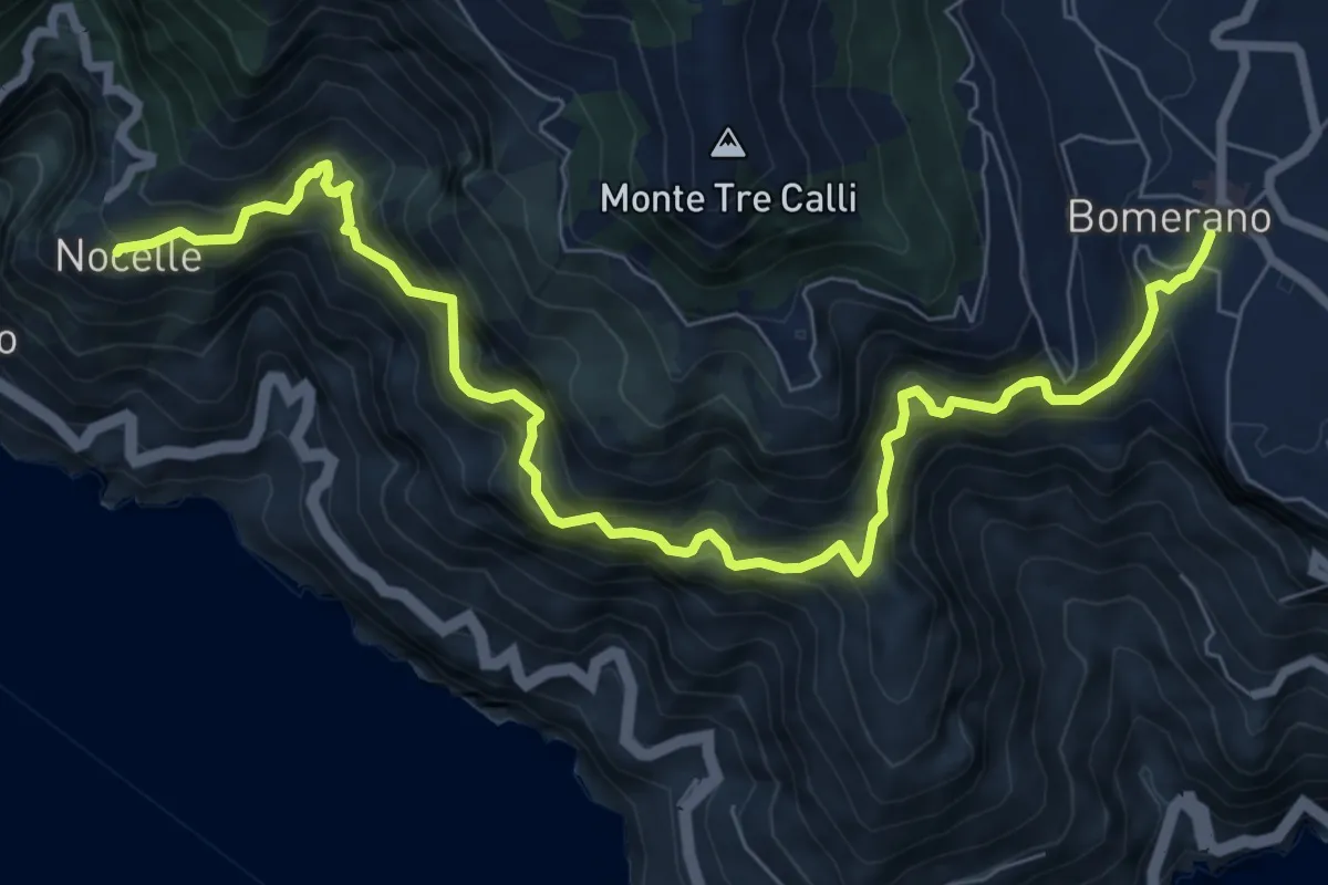
Demanding · Trail
Sentiero degli Dei
10.2 km · ↑ 1247 m · 5 h 6 min · 12 km away
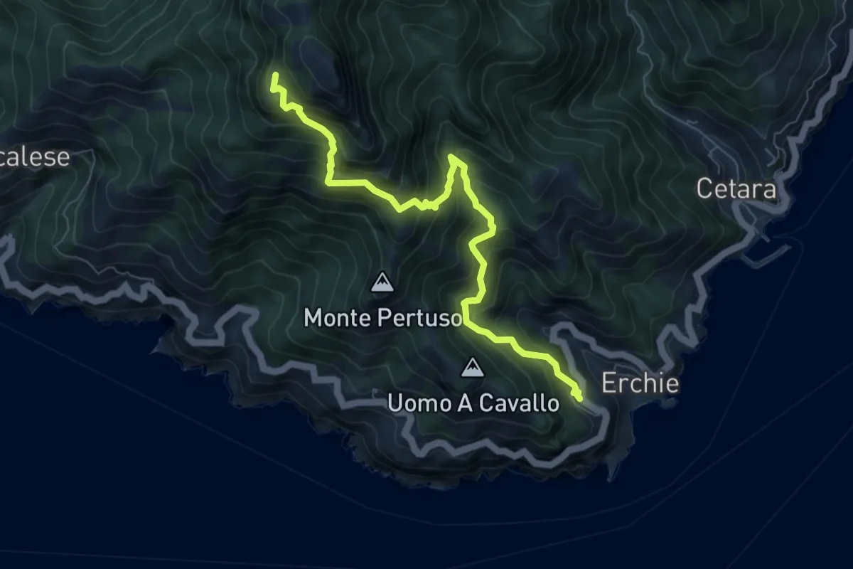
Demanding · Trail
Erchie – Santuario dell'Avvocata
8.1 km · ↑ 955 m · 3 h 58 min · 12 km away
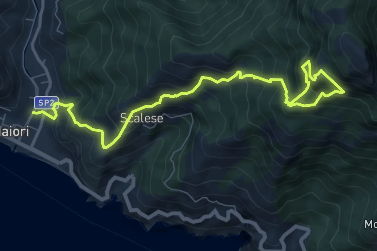
Demanding · Trail
Sentiero della Madonna dell'Avvocata
9.0 km · ↑ 1133 m · 4 h 35 min · 12 km away
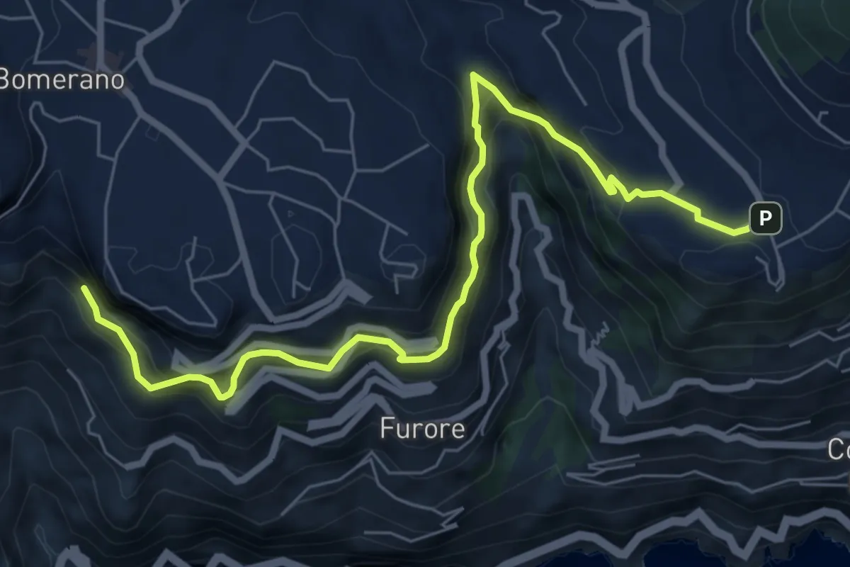
Medium · Trail
Sentiero di Abu Tabela
8.2 km · ↑ 718 m · 3 h 29 min · 12 km away
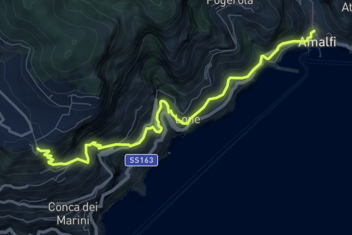
Demanding · Trail
Via Maestra dei Villaggi
9.4 km · ↑ 1077 m · 4 h 33 min · 13 km away
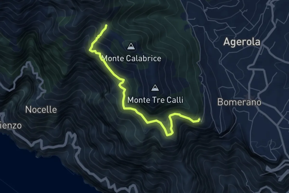
Medium · Summit
Via Paipo (Bomerano) – Capo Muro
6.7 km · ↑ 444 m · 2 h 33 min · 13 km away
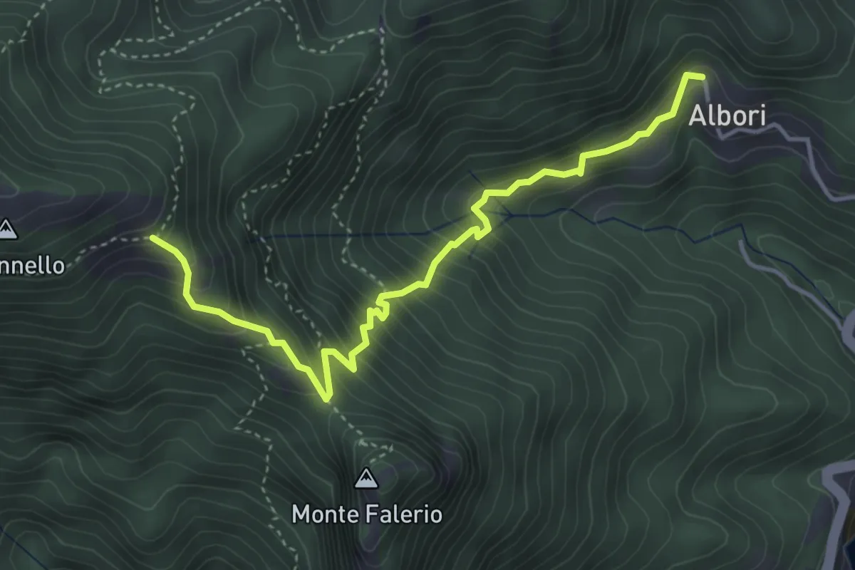
Medium · Trail
Albori – Monte Falerio / Cappella Vecchia
4.7 km · ↑ 500 m · 2 h 11 min · 13 km away
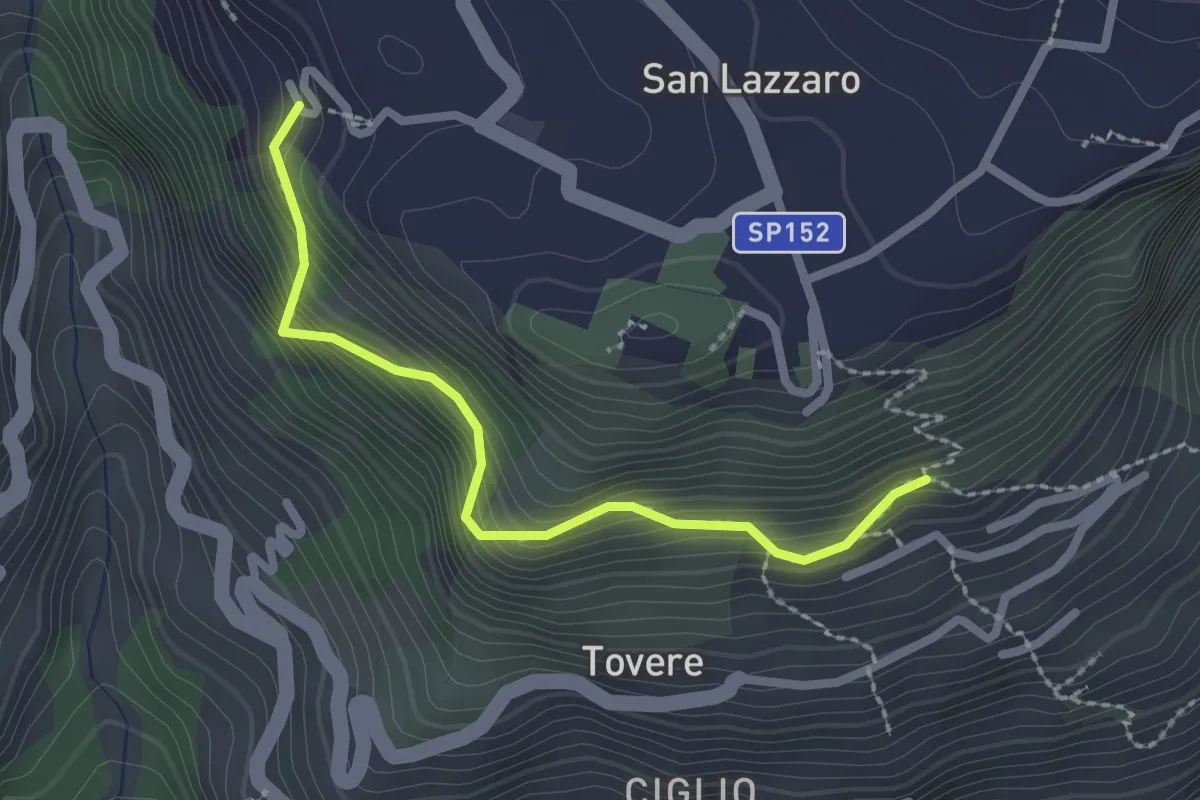
Medium · Trail
San Lazzaro (Agerola) - Incrocio 361 – Incrocio 354a
2.5 km · ↑ 312 m · 1 h 16 min · 13 km away
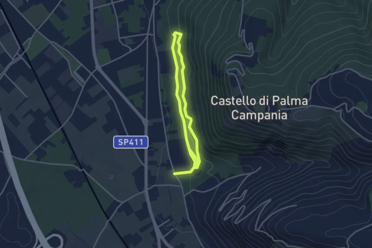
Easy · Trail
Bosco Crocelle
5.2 km · ↑ 115 m · 1 h 28 min · 13 km away
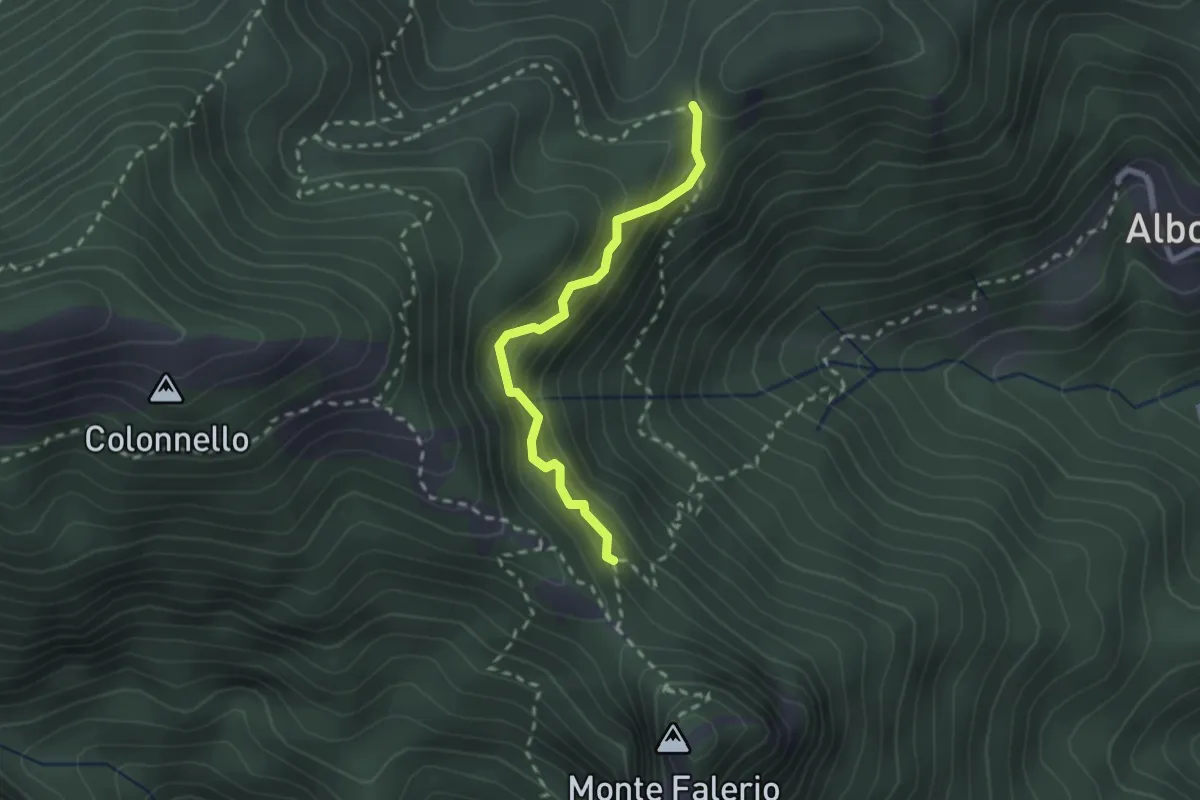
Demanding · Trail
Cappella Nuova – Sella del Monte Falerio
2.3 km · ↑ 272 m · 1 h 8 min · 13 km away
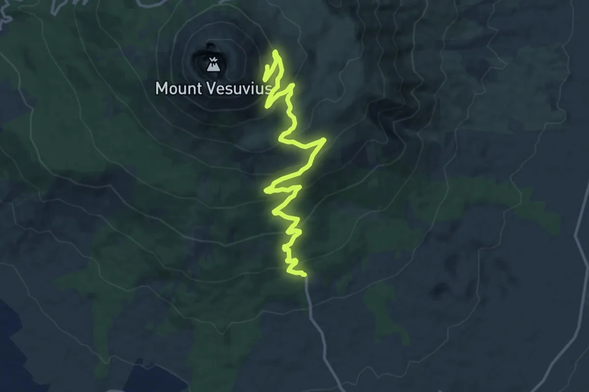
Medium · Trail
Sentiero 6: La Strada Matrone
14.0 km · ↑ 721 m · 4 h 52 min · 13 km away
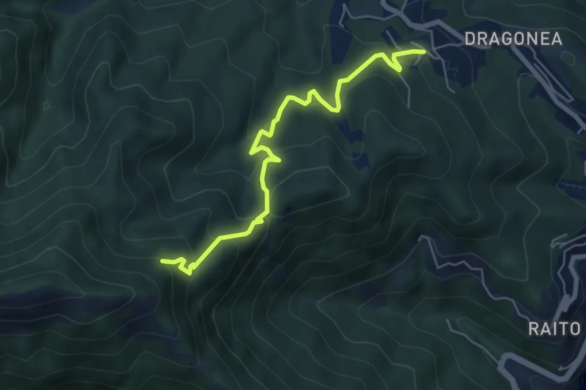
Medium · Trail
Iaconti (Dragonea) – Capodacqua
5.5 km · ↑ 404 m · 2 h 10 min · 13 km away
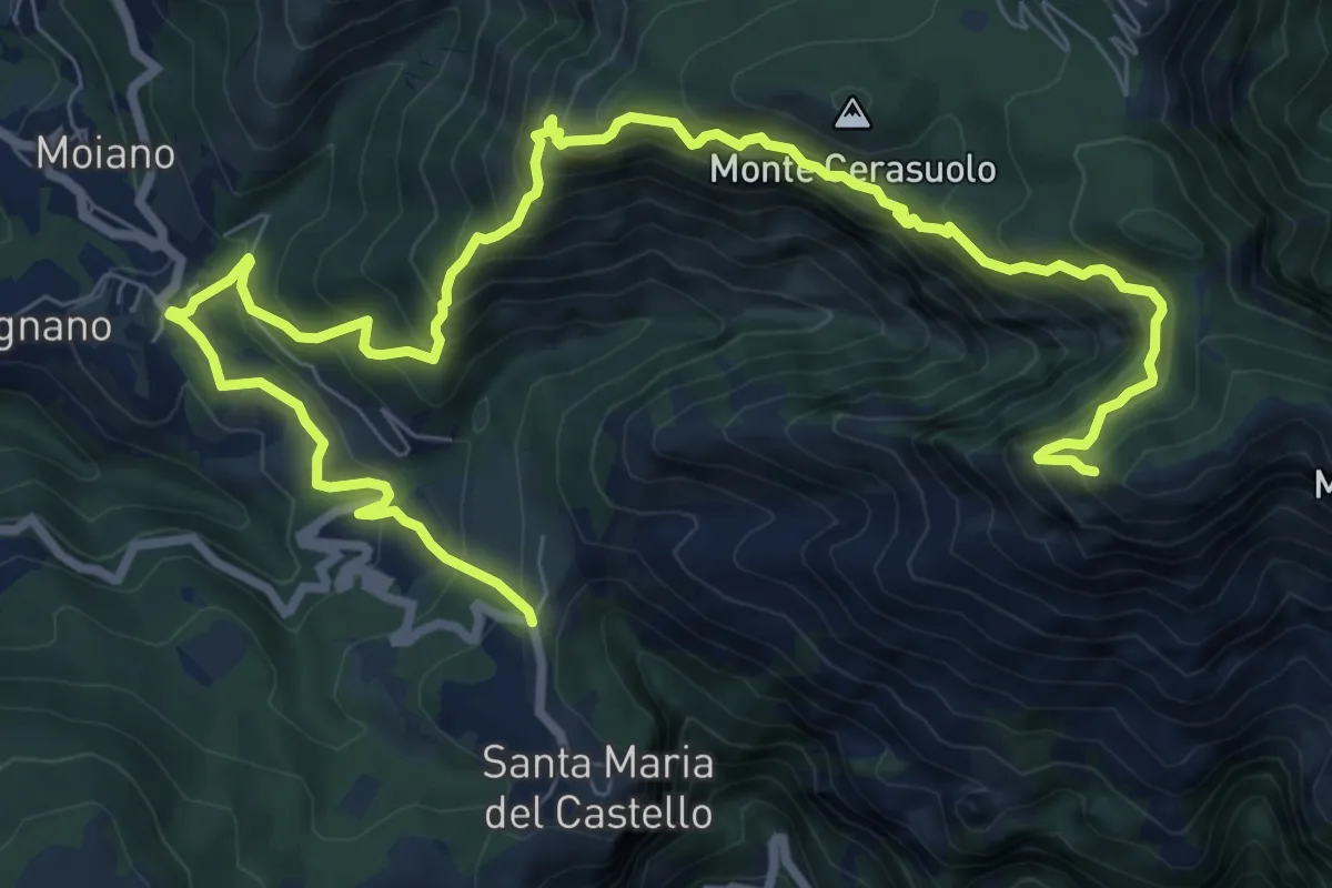
Expert · Trail
via Gradoni, S.M. del Castello – incrocio 300
13.3 km · ↑ 1294 m · 5 h 56 min · 13 km away
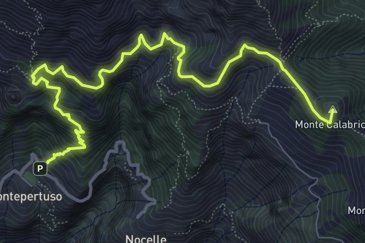
Expert · Summit
Sentiero alto degli dei
10.0 km · ↑ 1226 m · 5 h 1 min · 13 km away
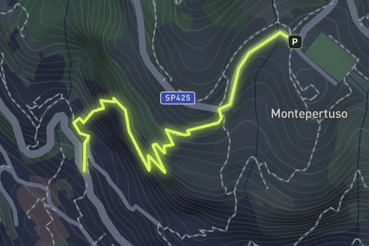
Medium · Trail
Località Montepertuso – Positano
2.3 km · ↑ 336 m · 1 h 17 min · 13 km away
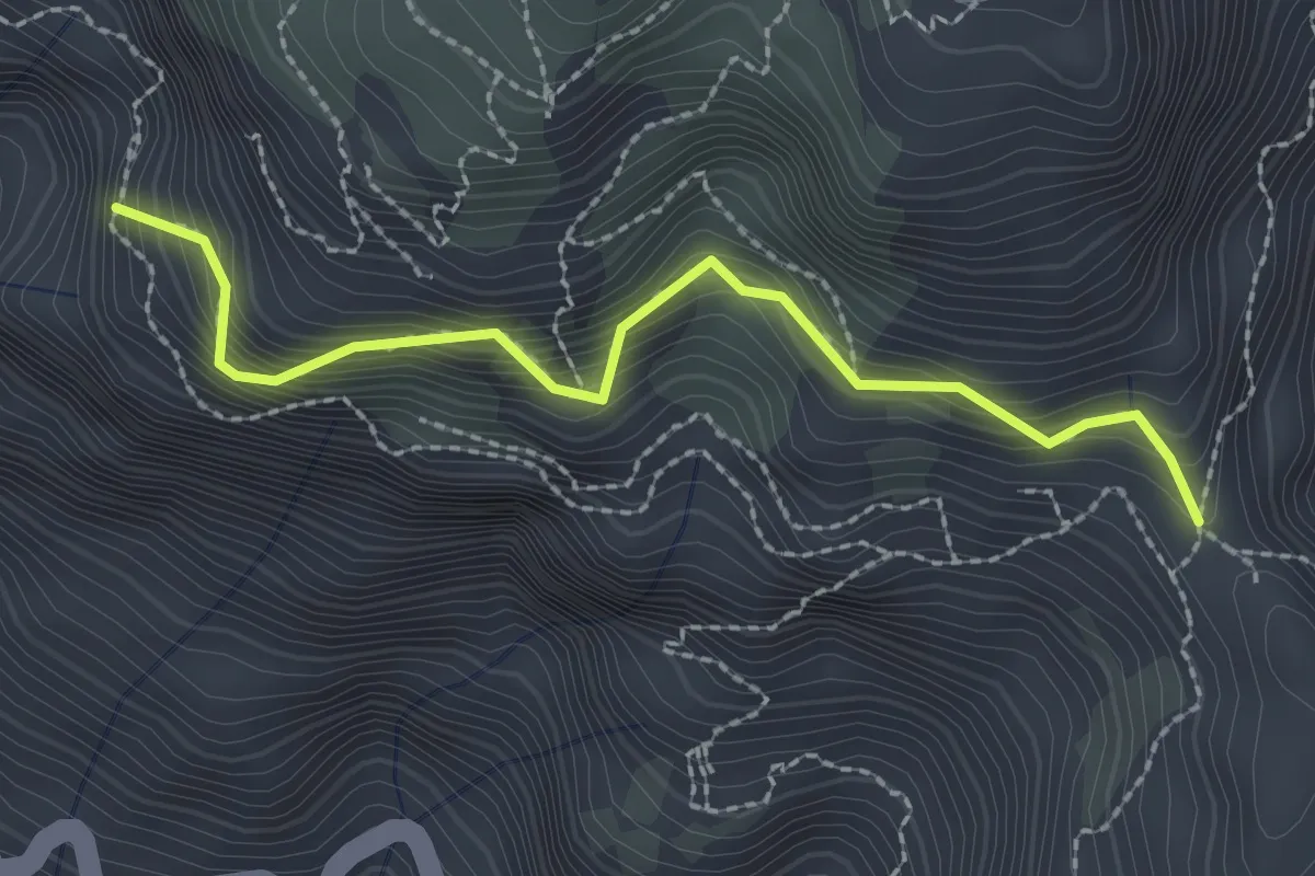
Medium · Trail
Variante alta del Sentiero degli Dei
2.6 km · ↑ 406 m · 1 h 29 min · 13 km away
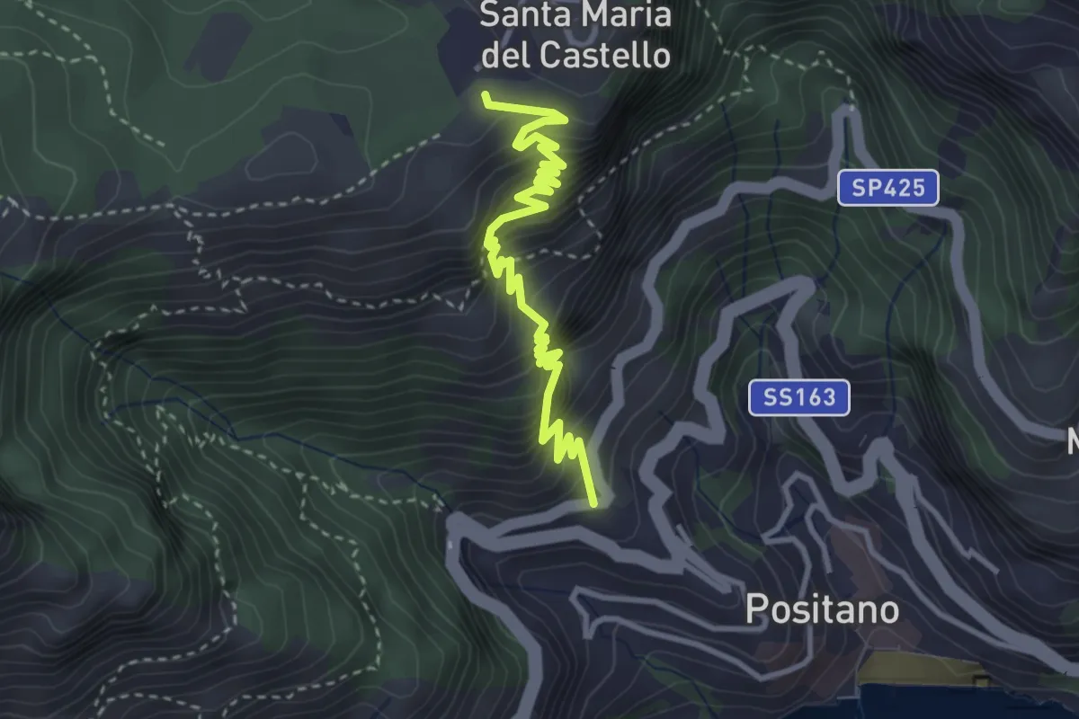
Medium · Trail
Le Tese di Positano
4.0 km · ↑ 715 m · 2 h 29 min · 14 km away
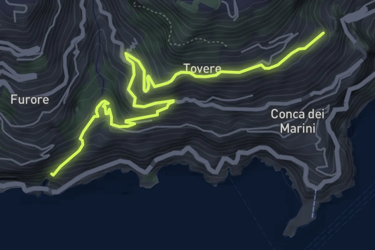
Medium · Trail
Sentiero dei Pipistrelli Impazziti
7.2 km · ↑ 523 m · 2 h 50 min · 14 km away
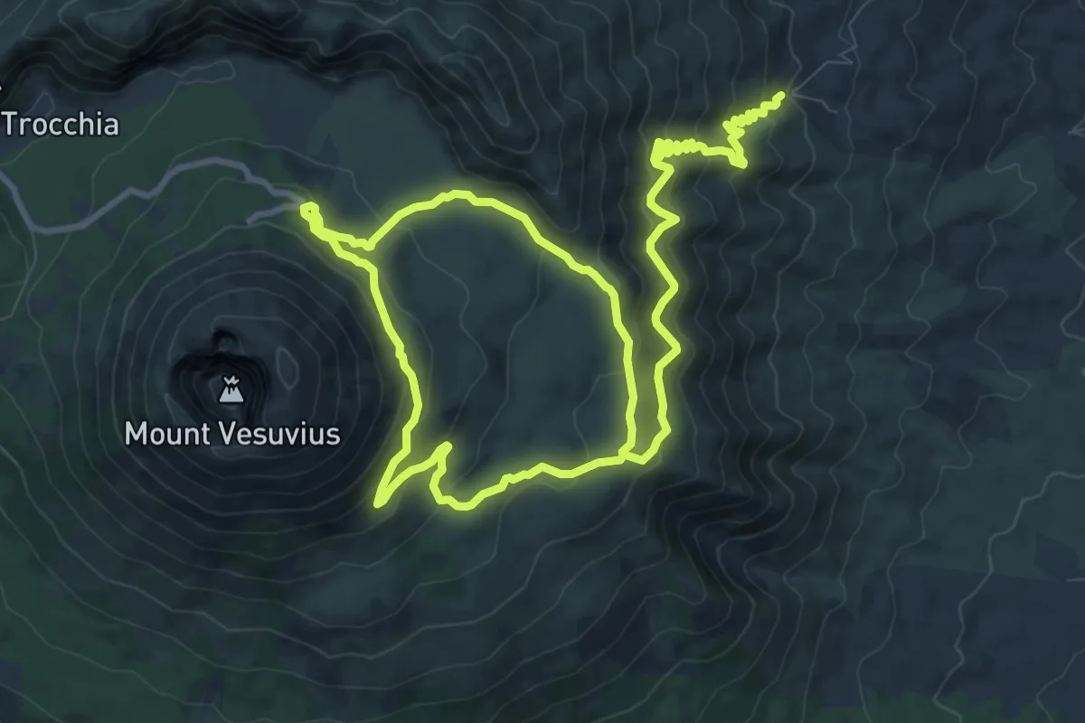
Medium · Summit
Sentiero 1: La Valle dell'Inferno
9.5 km · ↑ 399 m · 3 h 22 min · 14 km away
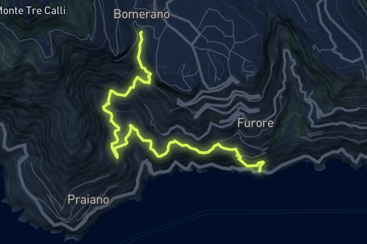
Demanding · Trail
Fiordo di Furore – Bomerano
9.8 km · ↑ 1335 m · 5 h 12 min · 14 km away
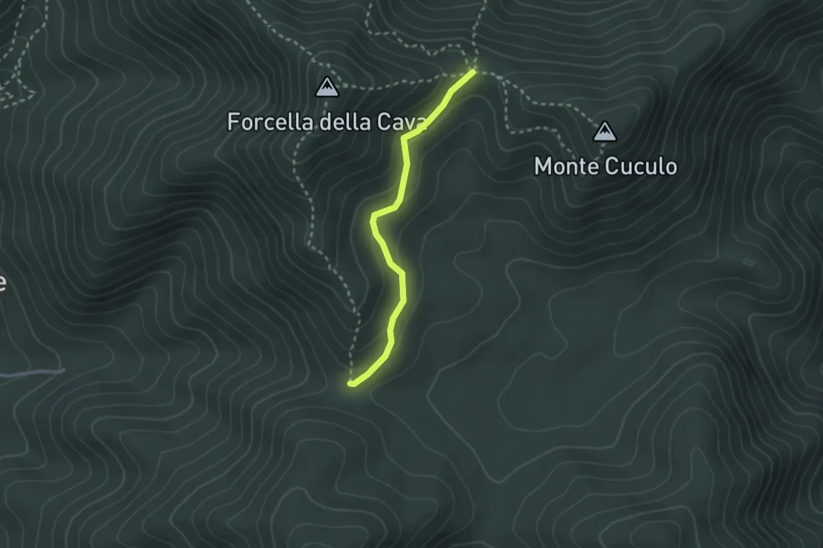
Easy · Trail
Varco Ceraso – Varco Diecimare
2.5 km · ↑ 116 m · 50 min · 14 km away
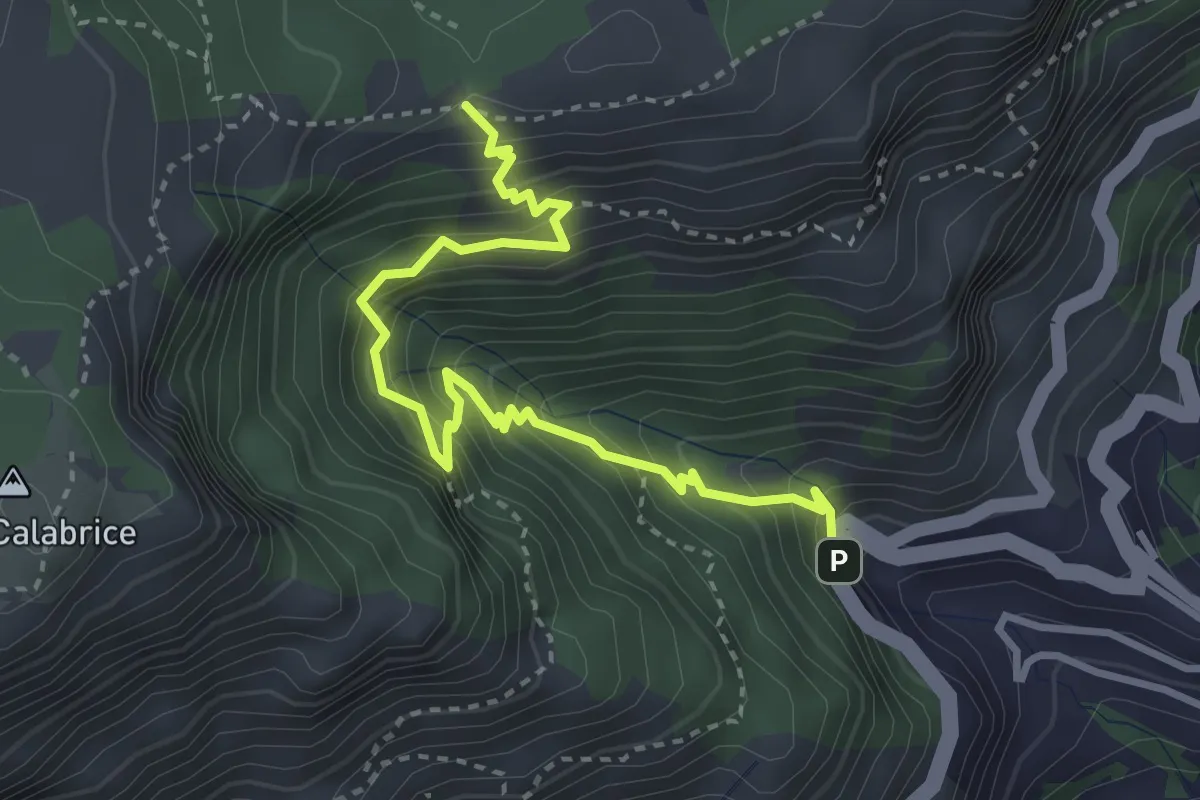
Medium · Trail
Bivio Montepertuso (Positano) – Incrocio 300
4.1 km · ↑ 527 m · 2 h 7 min · 14 km away
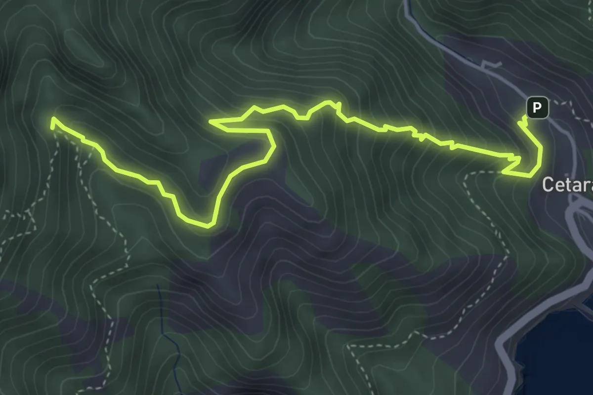
Medium · Trail
Cetara – Incrocio 305
5.7 km · ↑ 573 m · 2 h 36 min · 14 km away
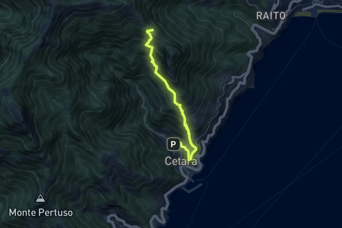
Medium · Trail
Cetara – Sella del Monte Falerio
5.8 km · ↑ 676 m · 2 h 50 min · 14 km away
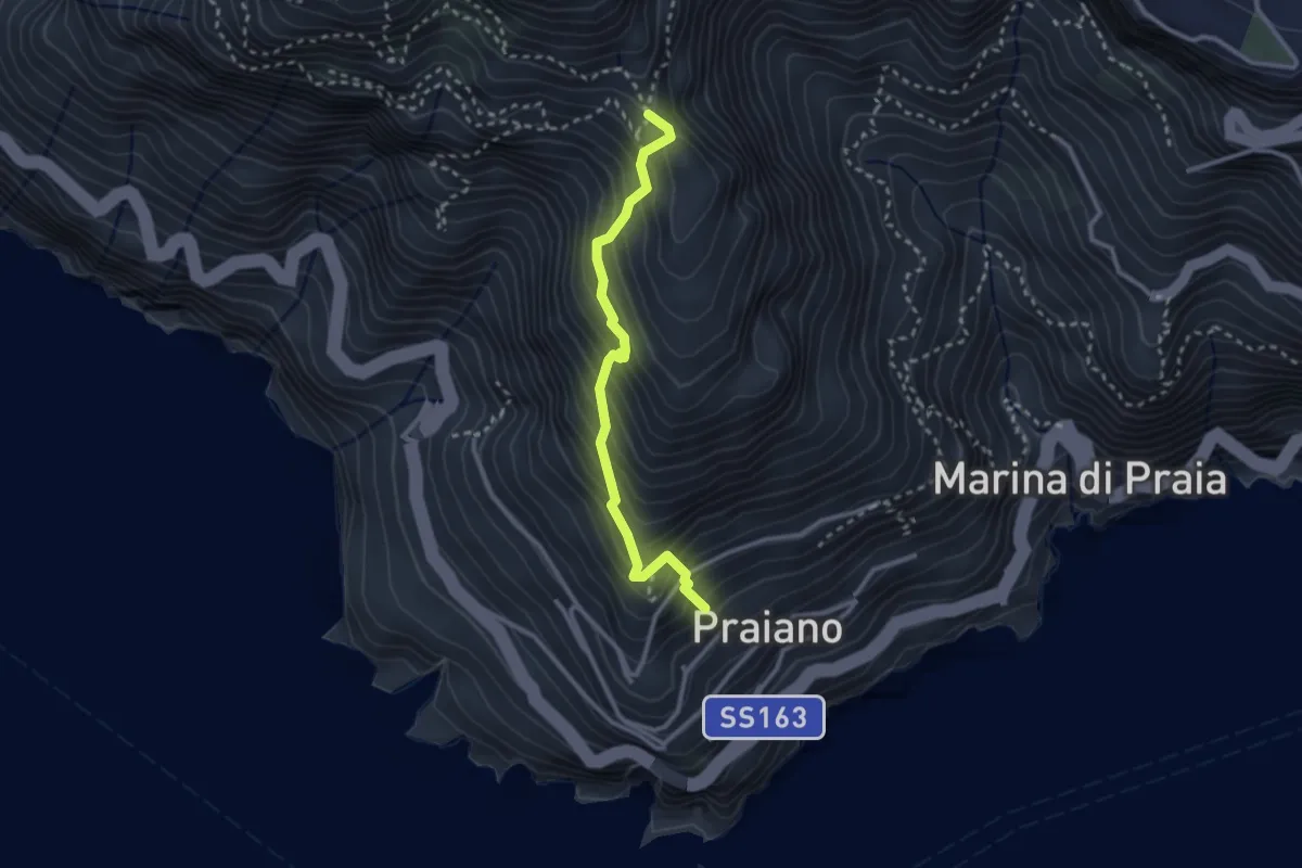
Medium · Trail
Praiano – Il Pinnacolo
2.9 km · ↑ 372 m · 1 h 30 min · 14 km away
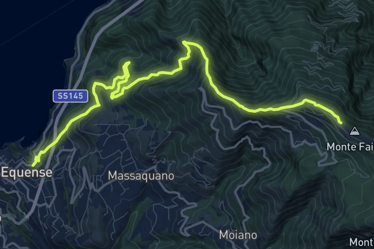
Demanding · Trail
Stazione Vesuviana (Vico Equense) – Cresta del M.Faito (incrocio 350)
15.4 km · ↑ 1424 m · 6 h 43 min · 15 km away
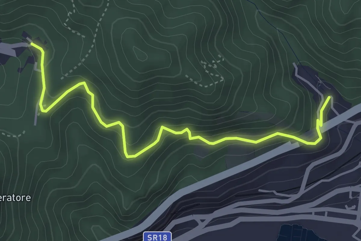
Medium · Trail
Alessia (Cava de' Tirreni) – Canalone (Salerno)
5.0 km · ↑ 335 m · 1 h 54 min · 15 km away
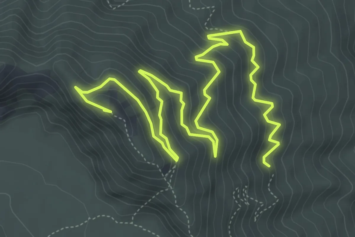
Medium · Summit
Sentiero 2: Lungo i Cognoli
9.4 km · ↑ 657 m · 3 h 38 min · 15 km away
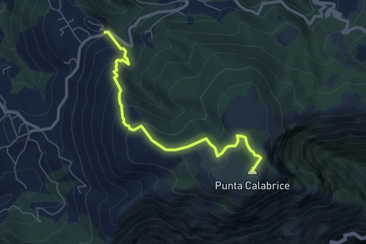
Medium · Summit
Via San Giovanni Bosco Preazzano – Incrocio 300 monte Comune
6.1 km · ↑ 430 m · 2 h 23 min · 15 km away