Trails near Aosta - Aoste
261 hikes starting within 15 km, nearest first.
Nearest first, page 1 of 6
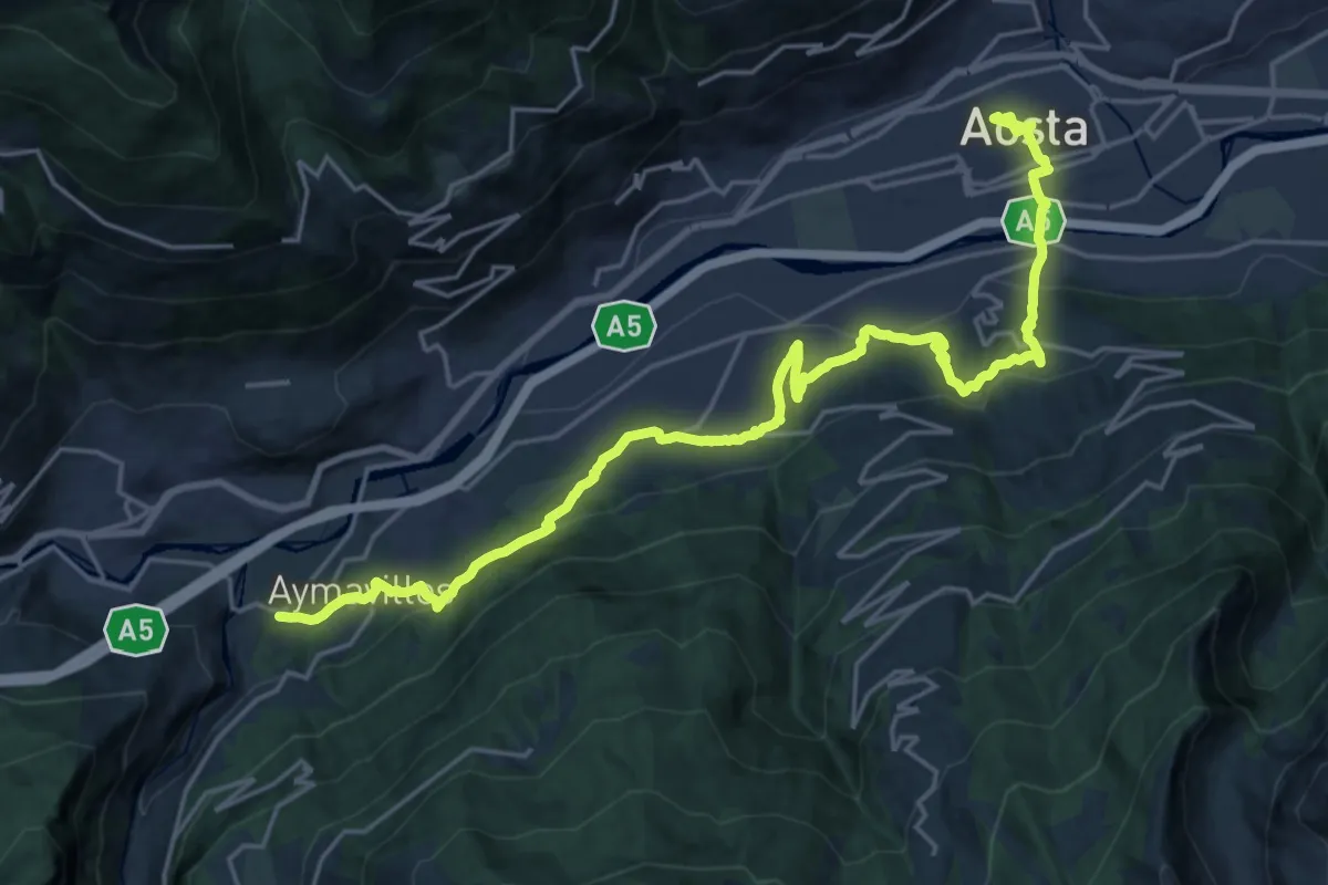
Medium · Trail
Cammino Balteo (Bassa Via della Valle d'Aosta), Tappa 18
12.9 km · ↑ 654 m · 4 h 37 min · under 1 km away
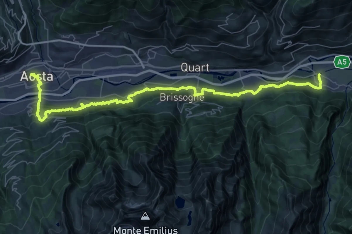
Demanding · Trail
Cammino Balteo (Bassa Via della Valle d'Aosta), Tappa 19
20.0 km · ↑ 783 m · 6 h 43 min · under 1 km away
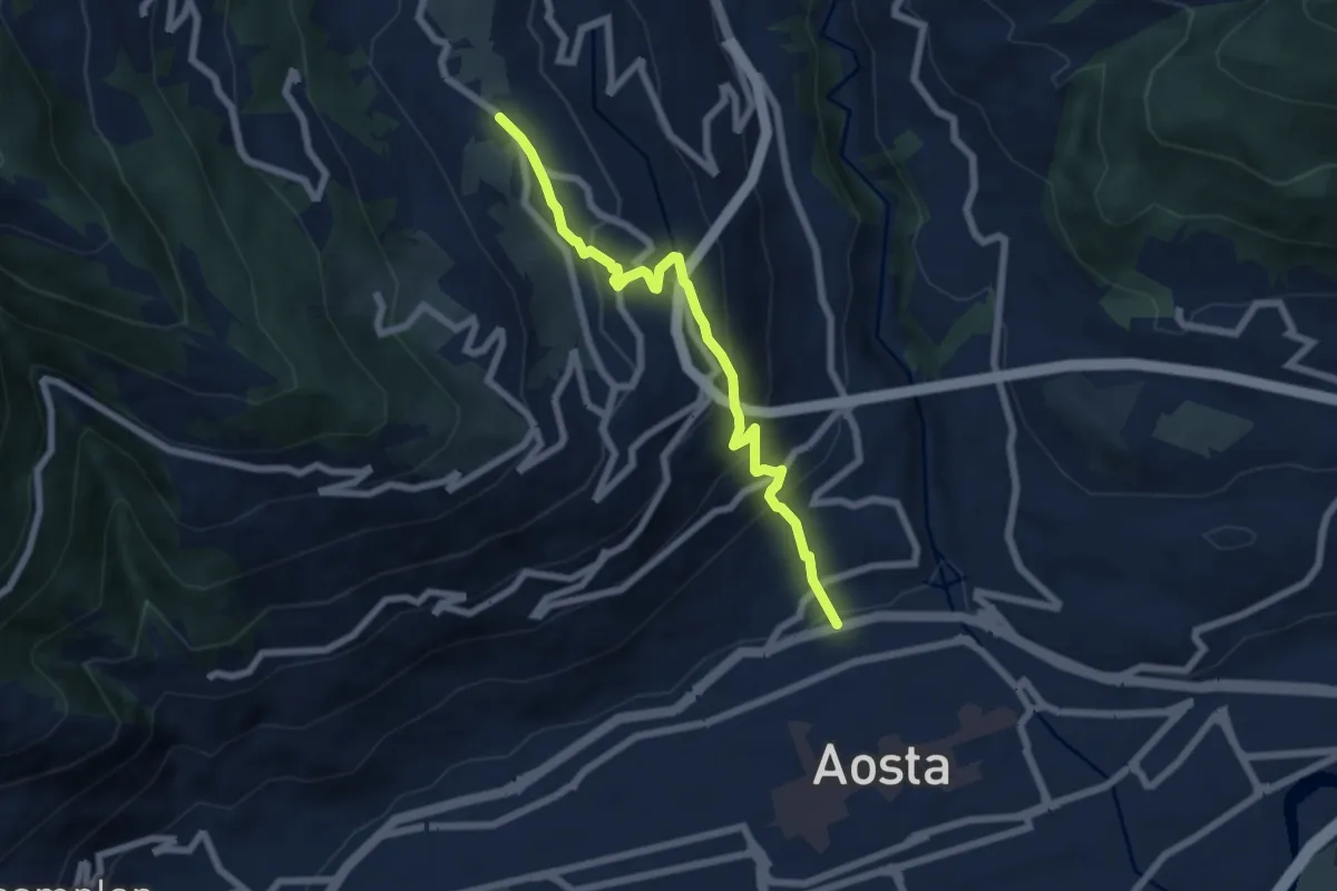
Medium · Trail
Strada Cappuccini – Excenex
6.7 km · ↑ 450 m · 2 h 33 min · 1 km away
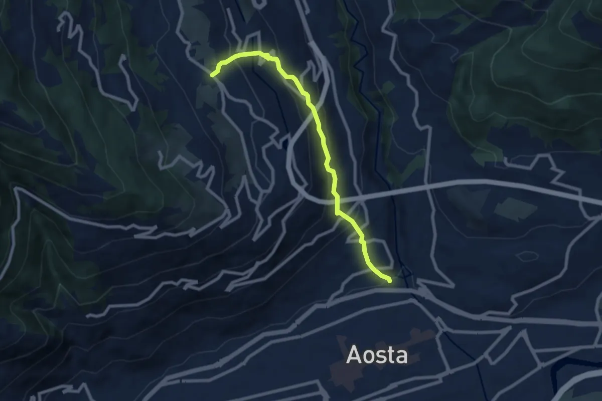
Medium · Trail
Regione Consolata – Excenex
6.8 km · ↑ 487 m · 2 h 39 min · 1 km away
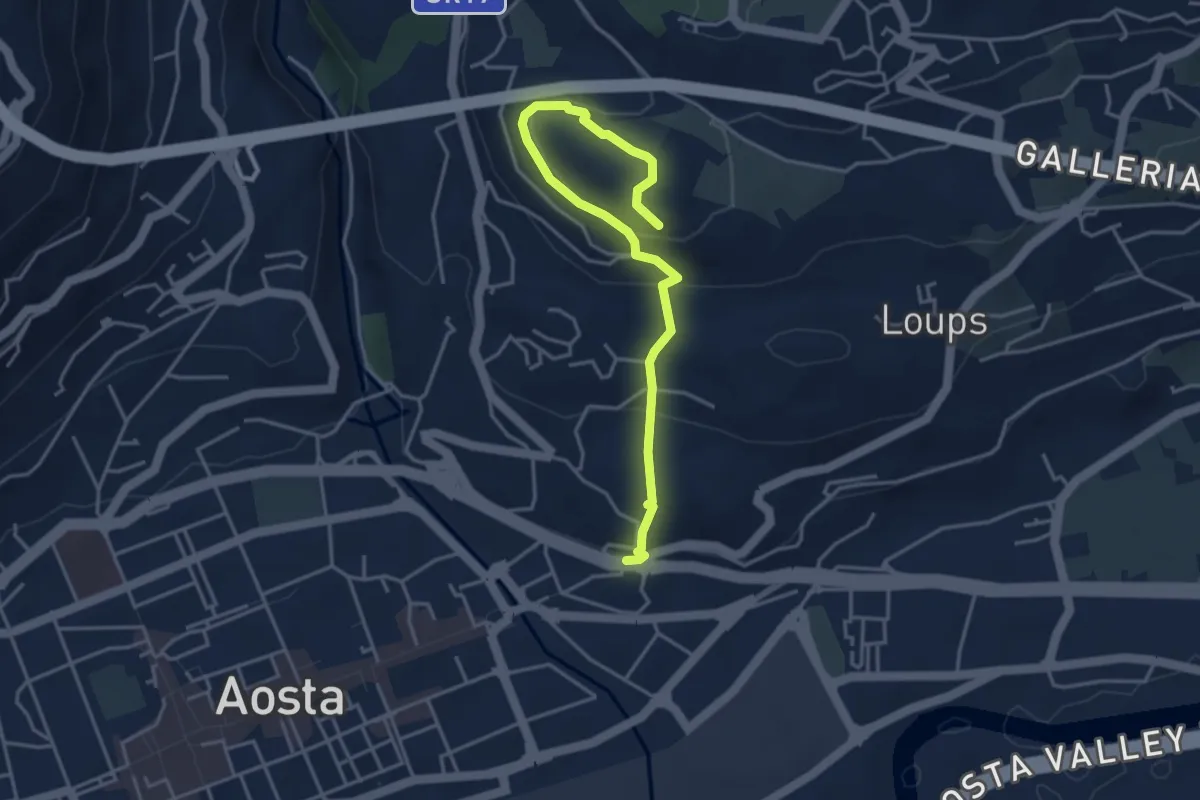
Medium · Trail
Via Scuola Militare Alpina - Châtelet
4.4 km · ↑ 223 m · 1 h 31 min · 1 km away
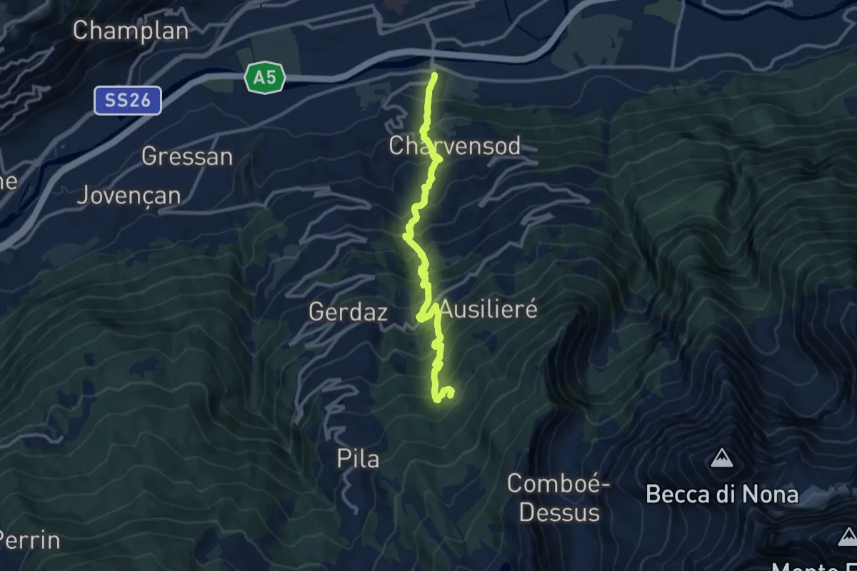
Demanding · Trail
Pont Suaz – Ermitage de Saint-Grat
11.1 km · ↑ 1220 m · 5 h 17 min · 1 km away
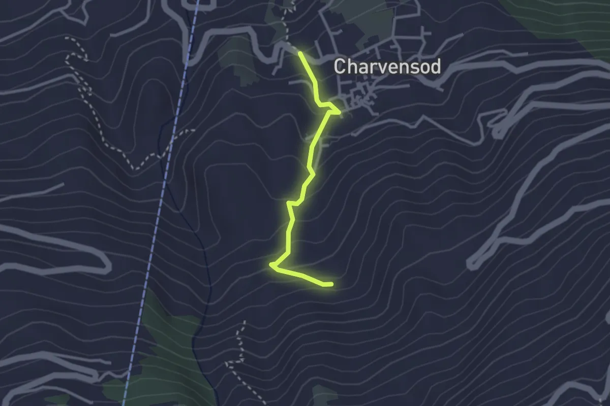
Medium · Trail
Charvensod – Sainte-Colombe
2.4 km · ↑ 188 m · 58 min · 2 km away
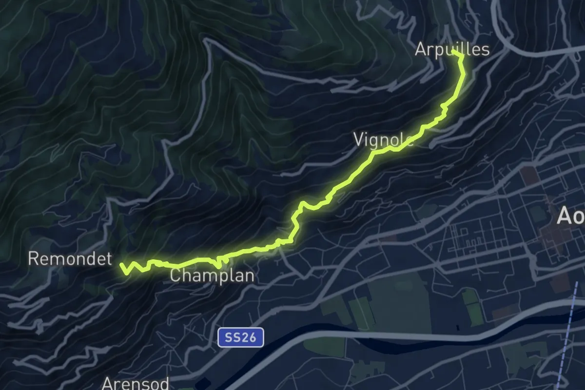
Demanding · Summit
Cammino Balteo (Bassa Via della Valle d'Aosta), Tappa 12
9.9 km · ↑ 923 m · 4 h 20 min · 2 km away
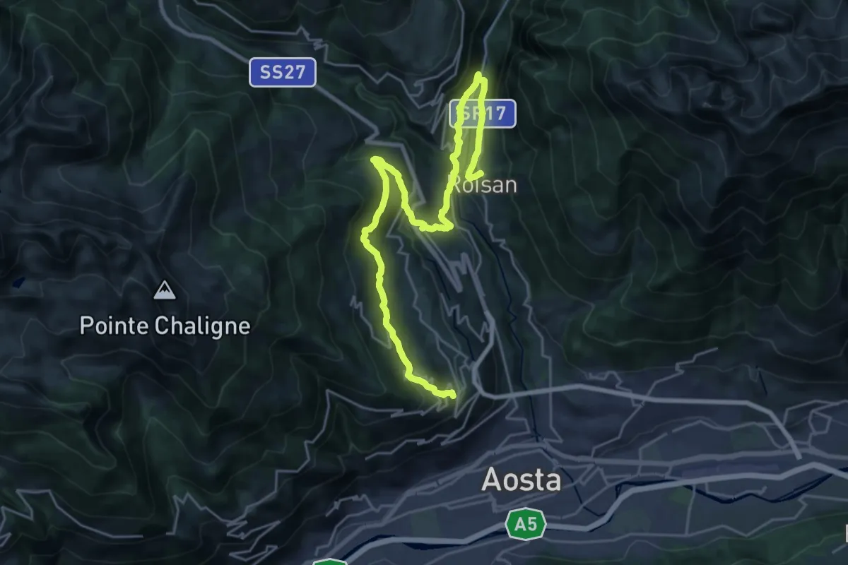
Expert · Trail
Cammino Balteo (Bassa Via della Valle d'Aosta), Tappa 11
13.1 km · ↑ 551 m · 4 h 34 min · 2 km away
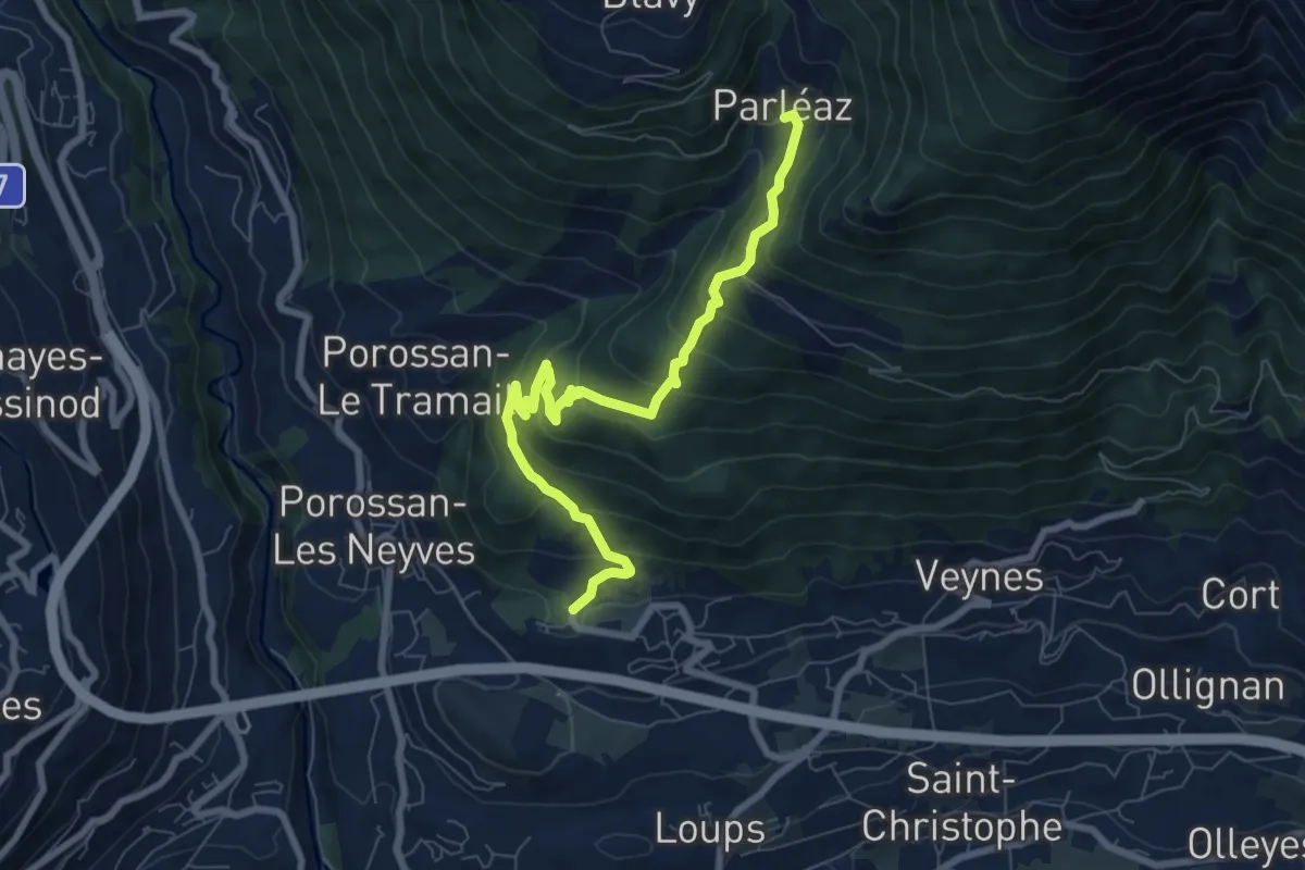
Medium · Trail
Area giochi Croux – Parleyaz
8.1 km · ↑ 535 m · 3 h 5 min · 2 km away
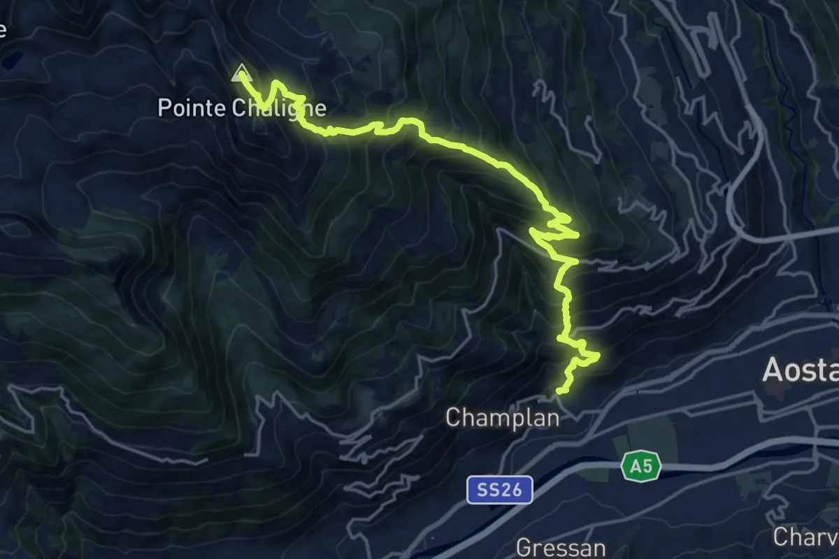
Demanding · Summit
Pont Avisod - Chacotteyes - Tsa de Metz - Pointe Chaligne
19.6 km · ↑ 1925 m · 8 h 48 min · 3 km away
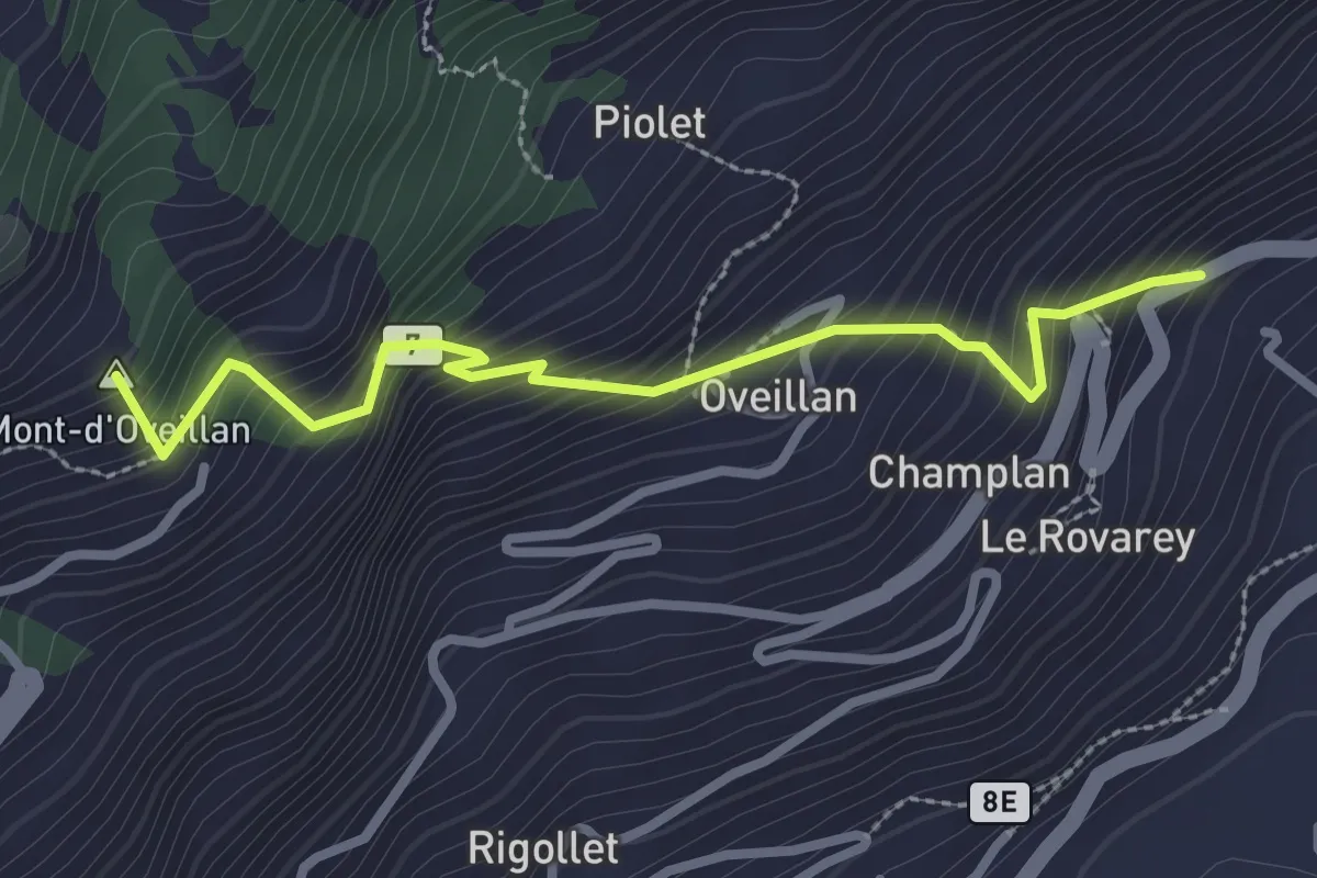
Medium · Summit
Pont-Avisod - Ville-Sur-Sarre
2.9 km · ↑ 425 m · 1 h 36 min · 3 km away
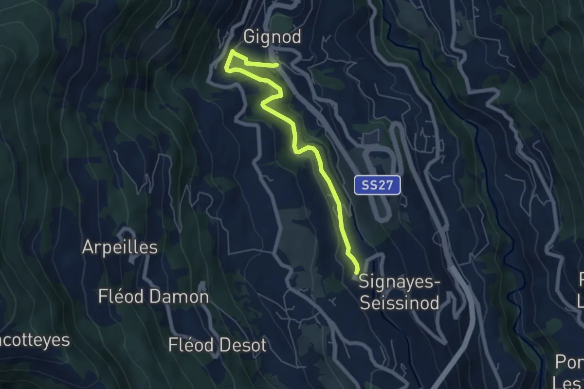
Easy · Trail
Gignod – Ru Bourgeois - Cré
5.4 km · ↑ 256 m · 1 h 50 min · 3 km away
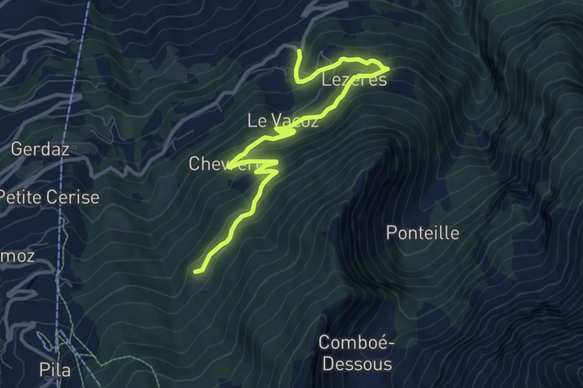
Medium · Trail
La Pissine Salà – Ermitage de Saint-Grat
9.2 km · ↑ 640 m · 3 h 34 min · 3 km away
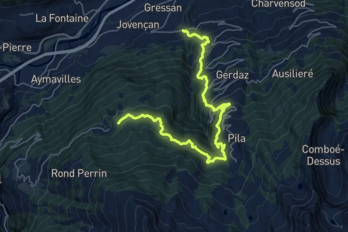
Demanding · Trail
Clapey – Turlin
10.8 km · ↑ 1223 m · 4 h 56 min · 3 km away
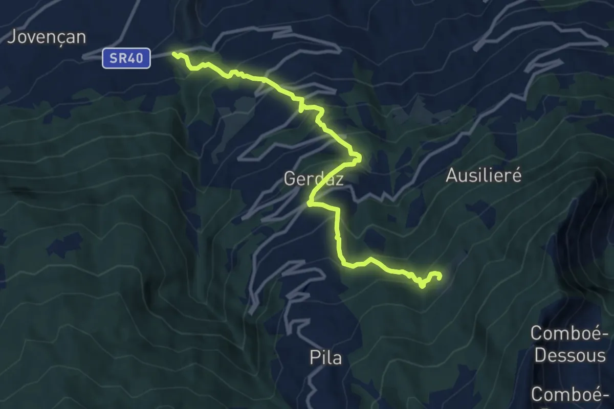
Demanding · Trail
Clapey – Hermitage Saint-Grat
10.6 km · ↑ 1039 m · 4 h 46 min · 3 km away
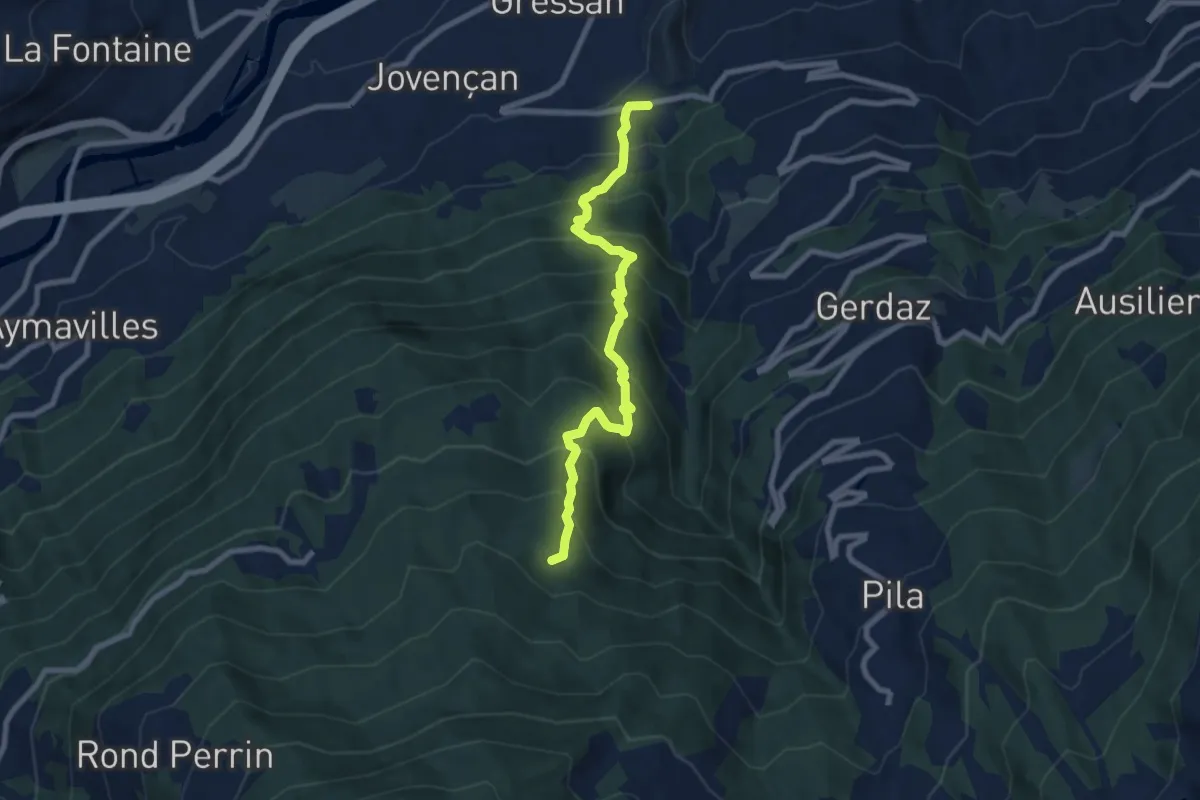
Demanding · Trail
Moline – Brein
8.2 km · ↑ 935 m · 3 h 58 min · 3 km away
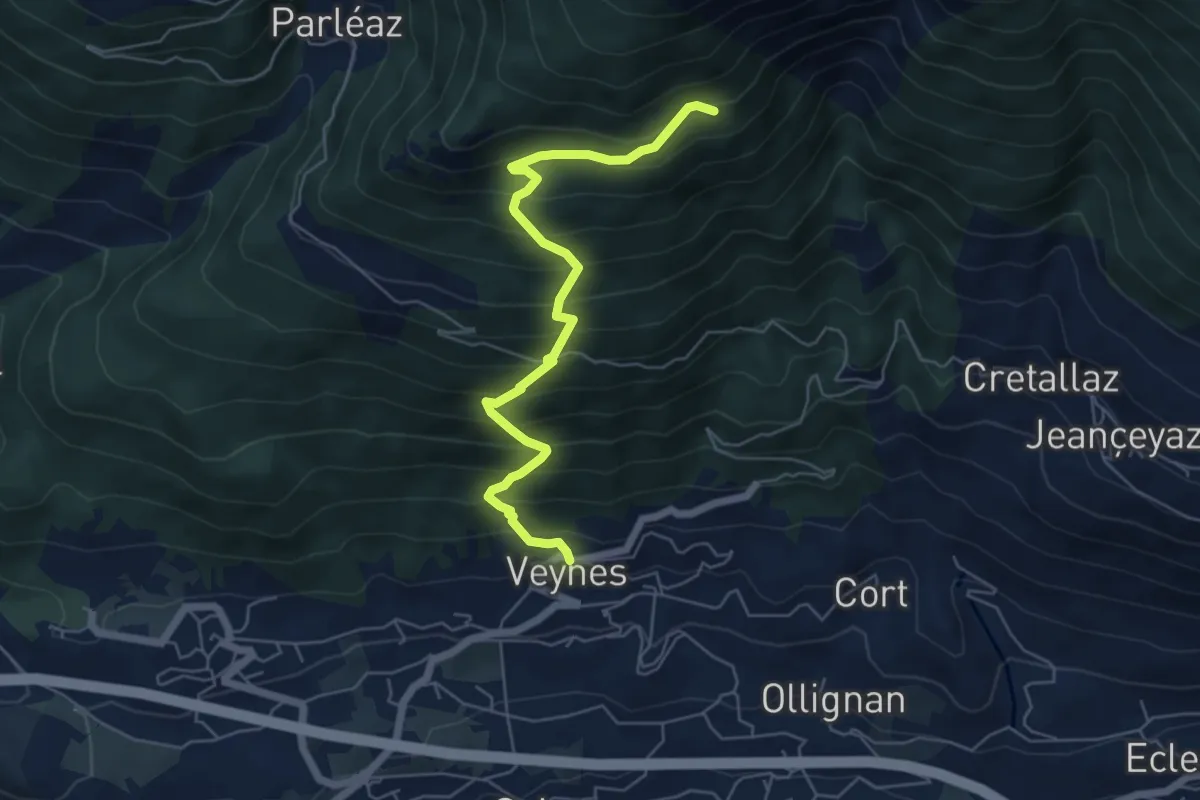
Medium · Trail
Veynes – Valtolanaz
6.0 km · ↑ 708 m · 2 h 57 min · 4 km away
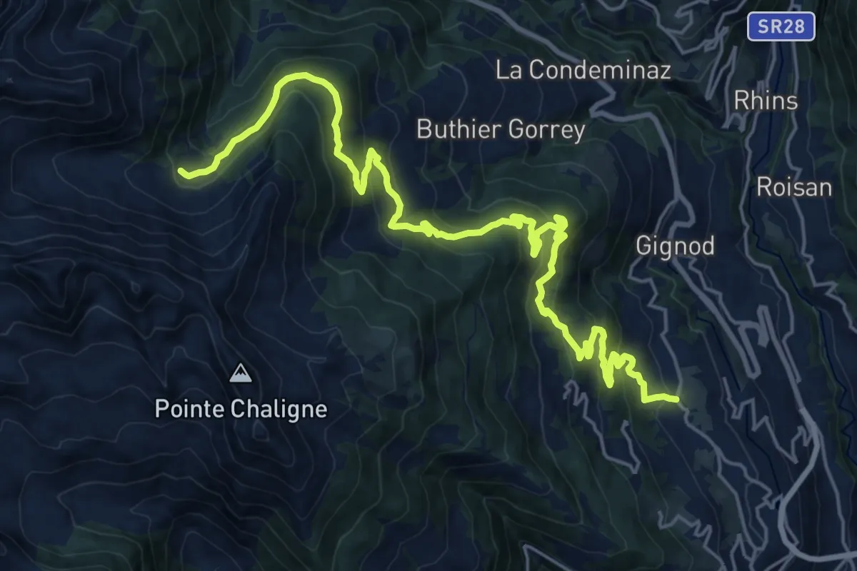
Demanding · Trail
La Cheriettes – Alpe Ars
12.3 km · ↑ 1112 m · 5 h 3 min · 4 km away
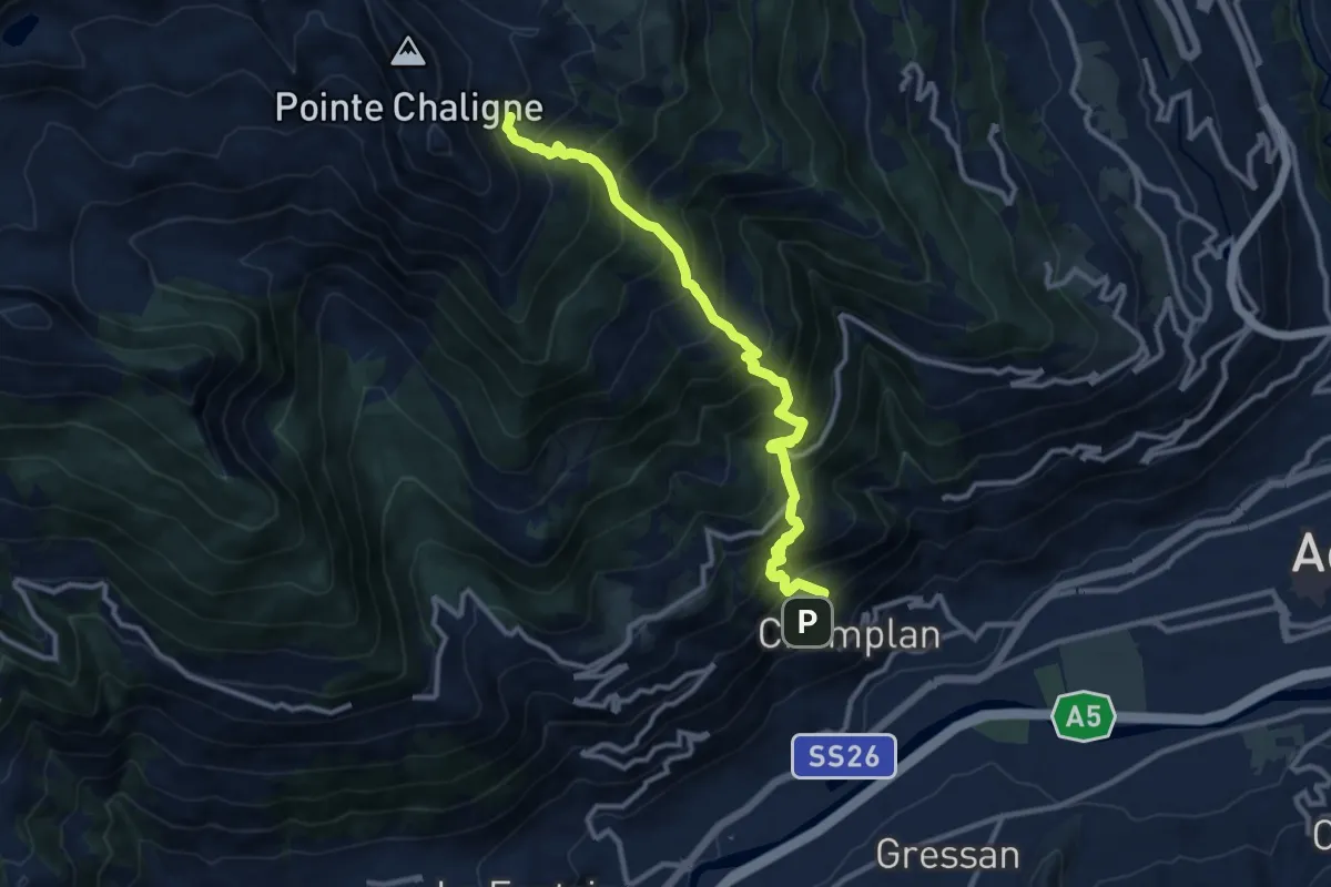
Demanding · Trail
Oveillan - Tsa de Metz
11.4 km · ↑ 1399 m · 5 h 43 min · 4 km away
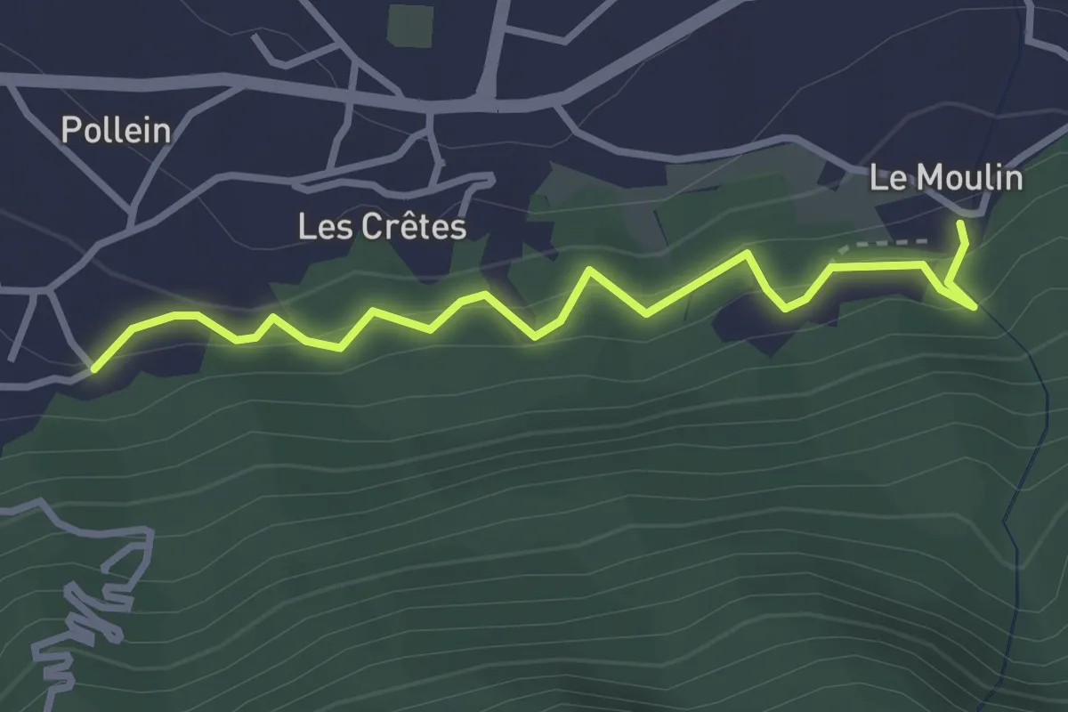
Medium · Trail
Chenière – Moulin
3.0 km · ↑ 274 m · 1 h 19 min · 4 km away
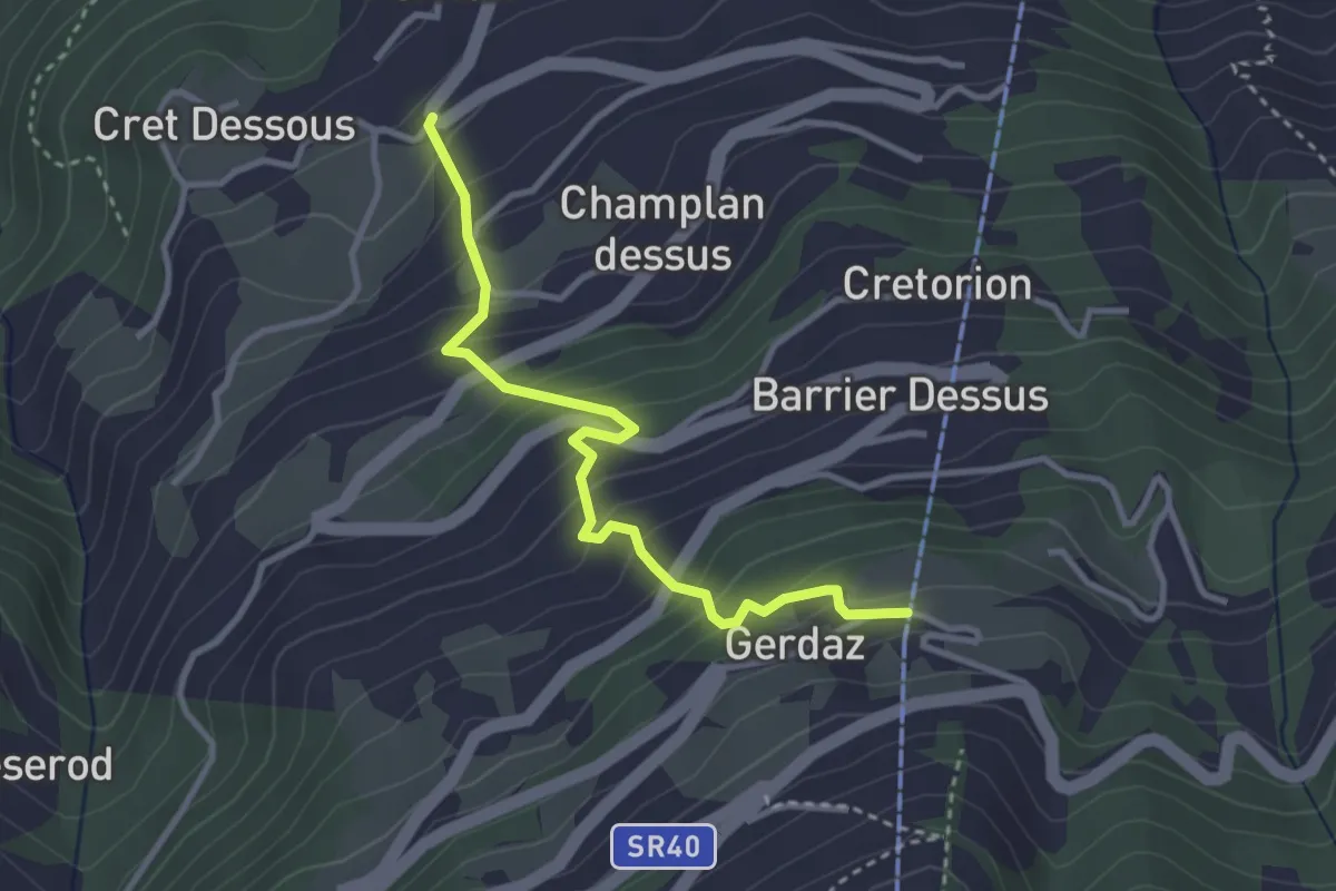
Medium · Trail
SR40 – Gerdaz
3.3 km · ↑ 371 m · 1 h 35 min · 4 km away
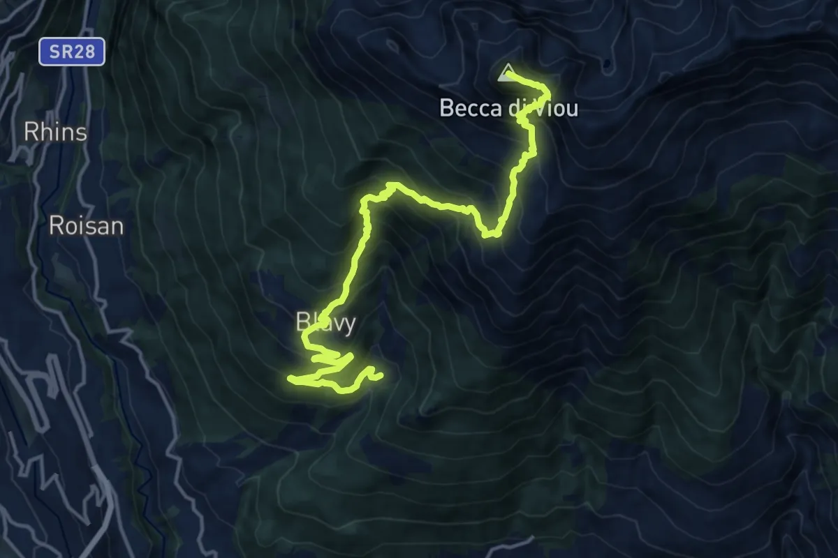
Demanding · Summit
Blavy – Becca di Viou
17.5 km · ↑ 1628 m · 7 h 39 min · 4 km away
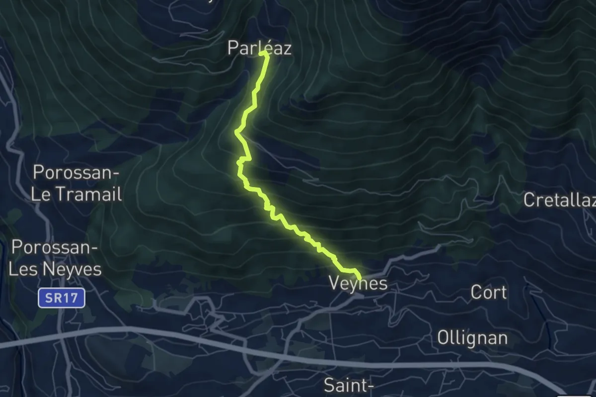
Medium · Trail
Veyves – Parleyaz
5.7 km · ↑ 539 m · 2 h 30 min · 4 km away
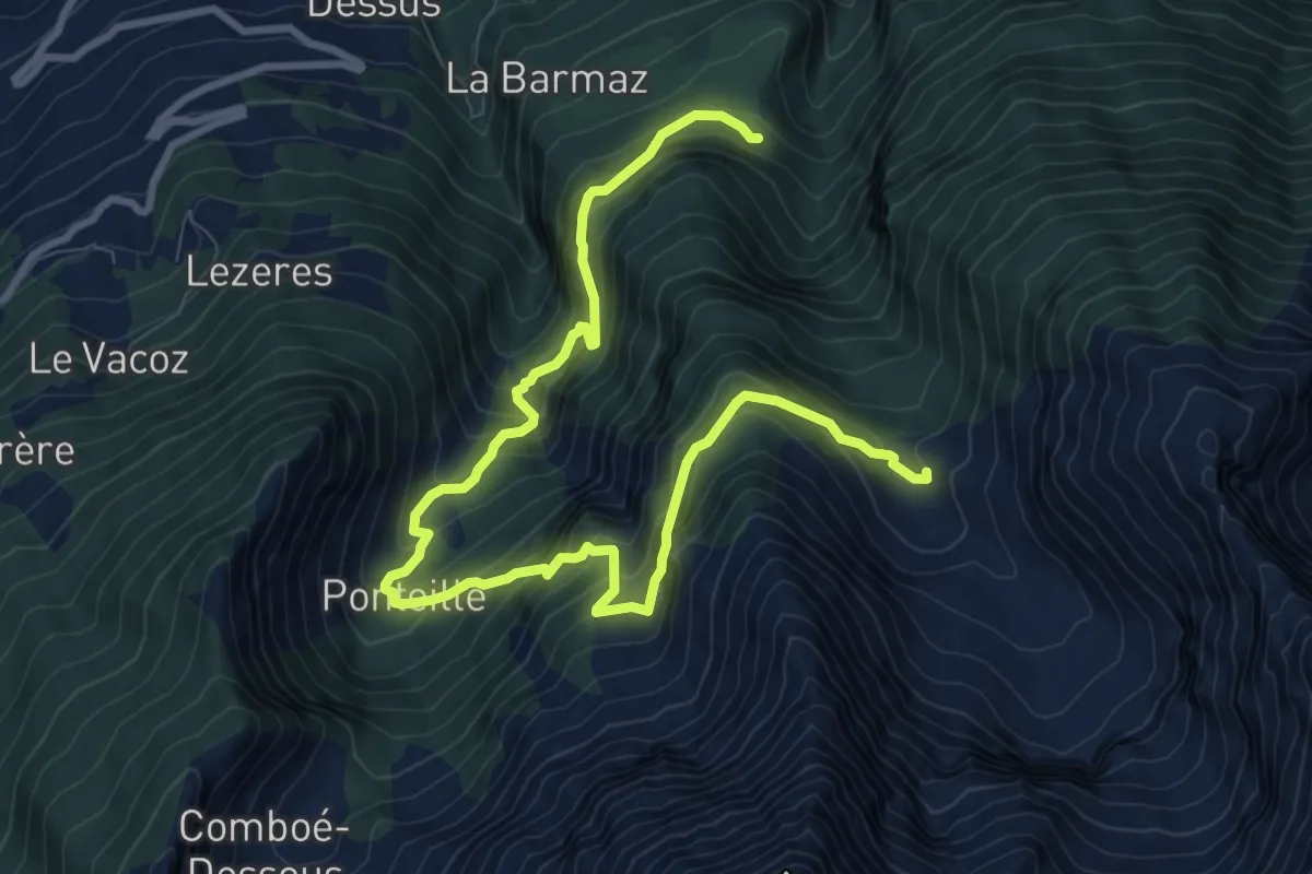
Demanding · Trail
Marchaucy – Arpisson
12.1 km · ↑ 1152 m · 5 h 21 min · 4 km away
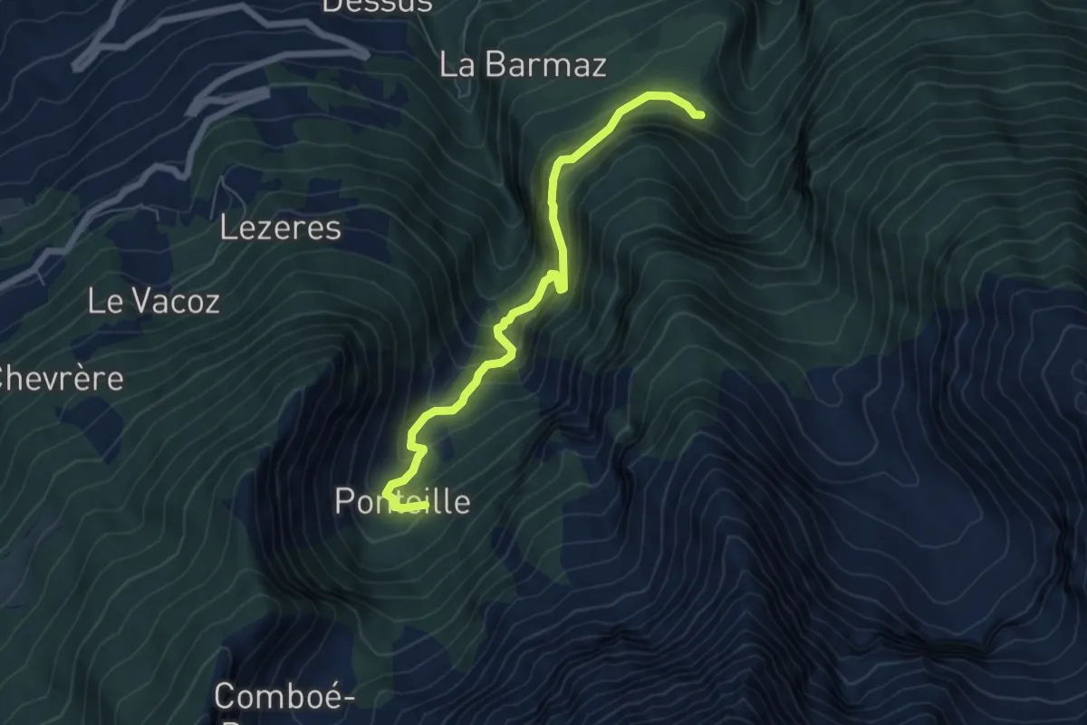
Medium · Trail
Marchaucy – Ponteille
6.2 km · ↑ 601 m · 2 h 46 min · 4 km away
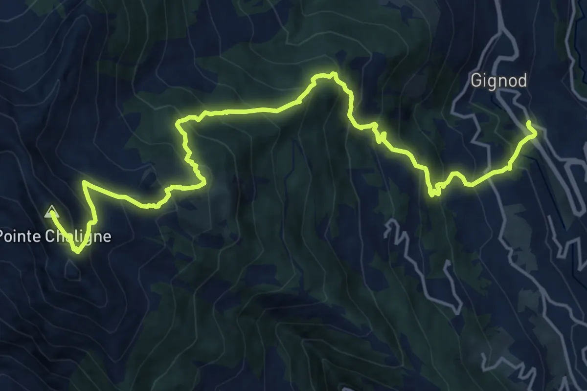
Demanding · Summit
Cré – Pointe Chaligne
18.0 km · ↑ 1675 m · 7 h 53 min · 5 km away
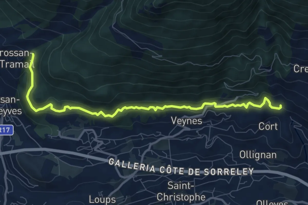
Medium · Trail
Confine comunale Aosta – Confine comunale Quart
9.1 km · ↑ 488 m · 3 h 13 min · 5 km away
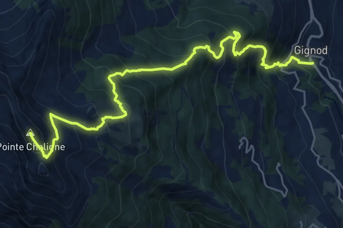
Demanding · Summit
Gignod – Pointe Chaligne
17.2 km · ↑ 1635 m · 7 h 37 min · 5 km away
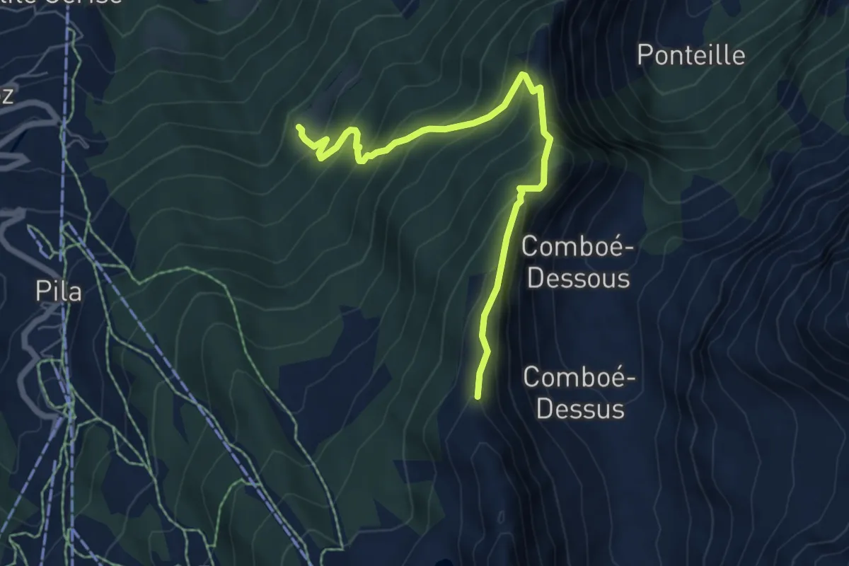
Medium · Trail
Ermitage de Saint-Grat – Col Replan
6.4 km · ↑ 581 m · 2 h 47 min · 5 km away
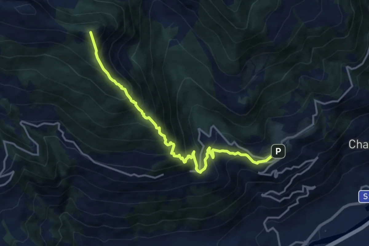
Demanding · Summit
Bellon – Tsa de la Comba
11.1 km · ↑ 1139 m · 5 h 5 min · 5 km away
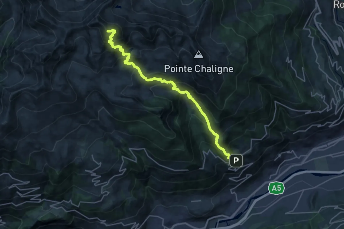
Expert · Summit
Ville-Sur-Sarre - Mont-Fallère
20.2 km · ↑ 1948 m · 8 h 59 min · 5 km away
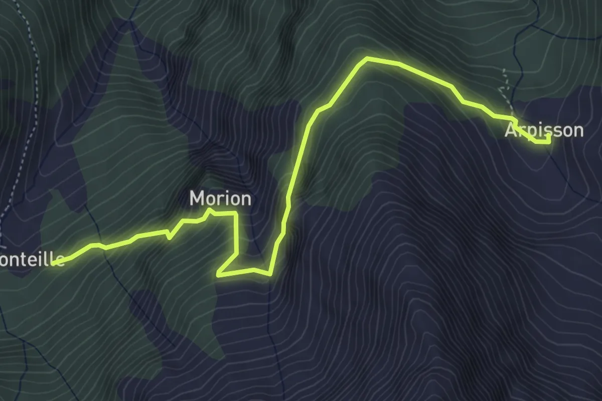
Medium · Trail
Arpisson – Ponteille
5.8 km · ↑ 548 m · 2 h 34 min · 5 km away
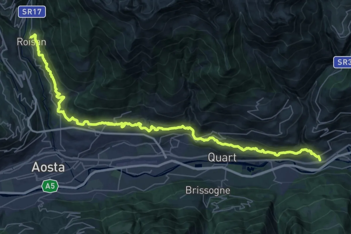
Expert · Trail
Cammino Balteo (Bassa Via della Valle d'Aosta), Tappa 10
18.9 km · ↑ 603 m · 6 h 11 min · 5 km away
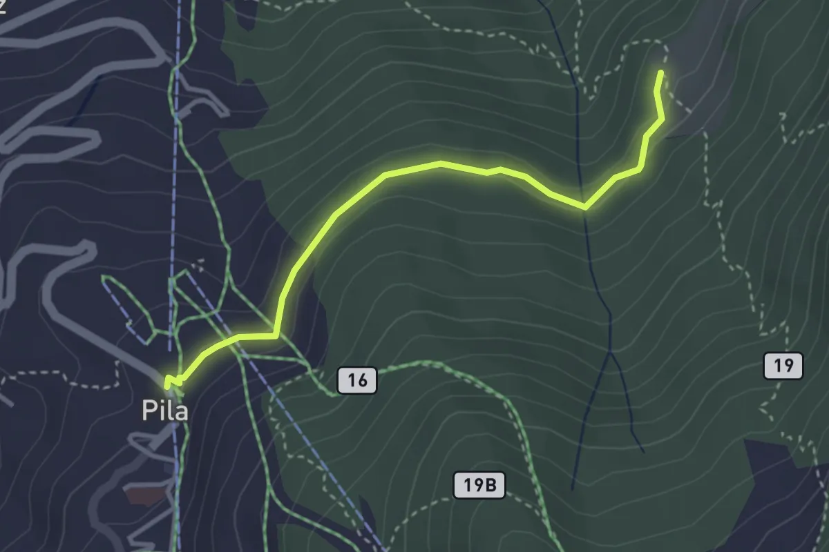
Easy · Trail
Pila – Hermitage Saint-Grat
3.2 km · ↑ 119 m · 1 h · 6 km away
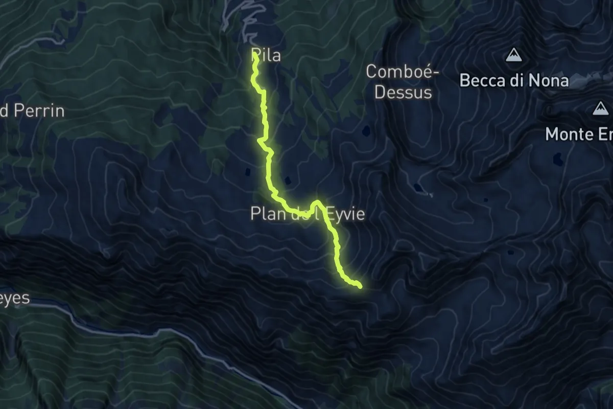
Demanding · Trail
Pila – Col Chasèche
11.7 km · ↑ 1047 m · 5 h 2 min · 6 km away
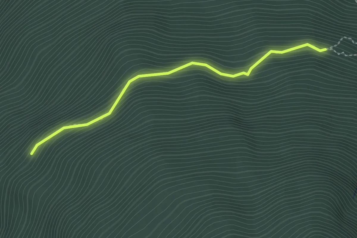
Demanding · Trail
Arpisson – Percorso 11
2.3 km · ↑ 144 m · 51 min · 6 km away
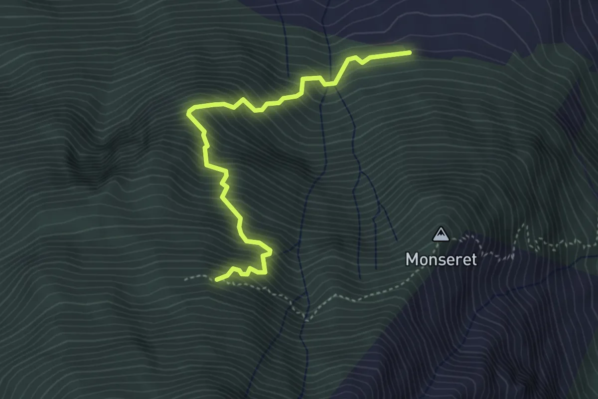
Demanding · Trail
Percorso 1 – Percorso 10
4.2 km · ↑ 715 m · 2 h 33 min · 6 km away
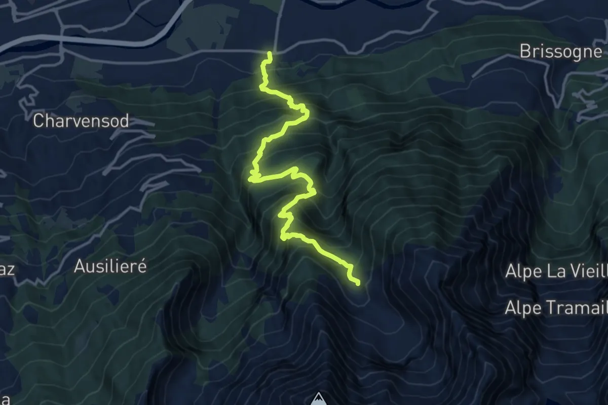
Demanding · Trail
municipio Pollein – Arpisson
13.6 km · ↑ 1540 m · 6 h 32 min · 6 km away
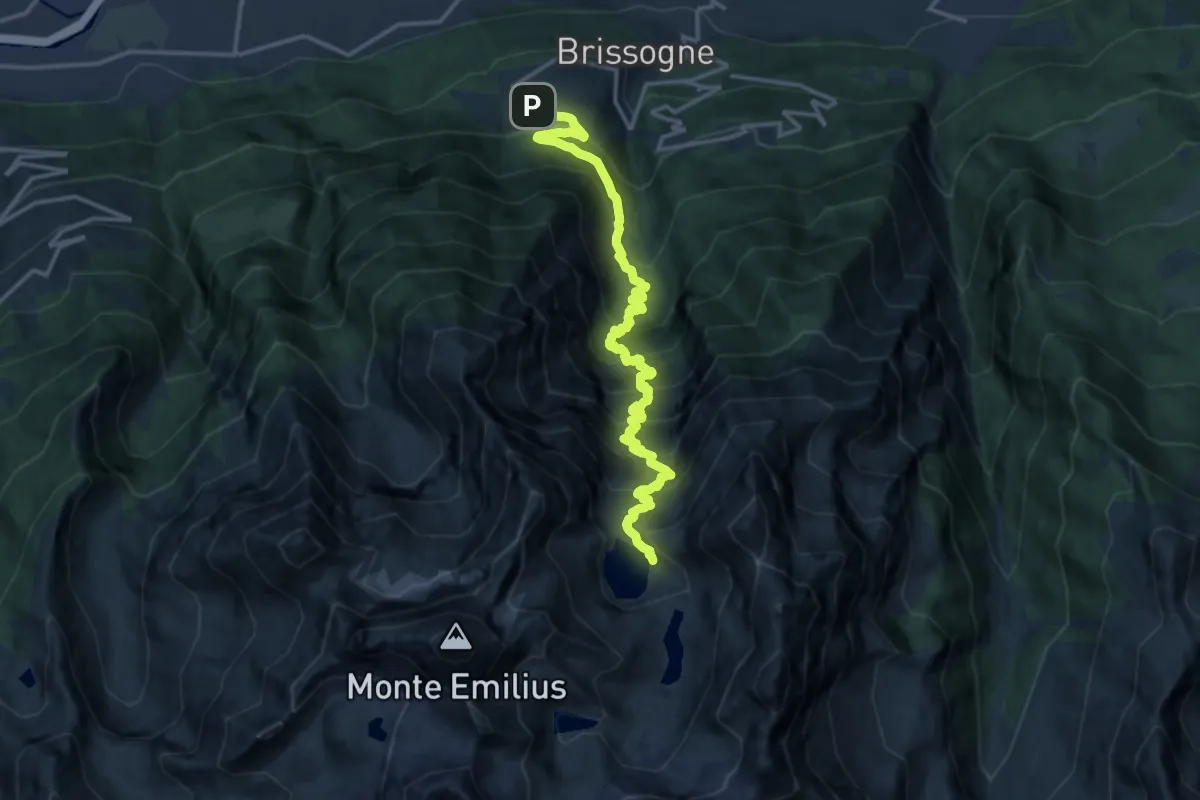
Demanding · Cabin
Grand Brissogne – Bivacco Menabreaz
17.0 km · ↑ 1717 m · 7 h 44 min · 6 km away
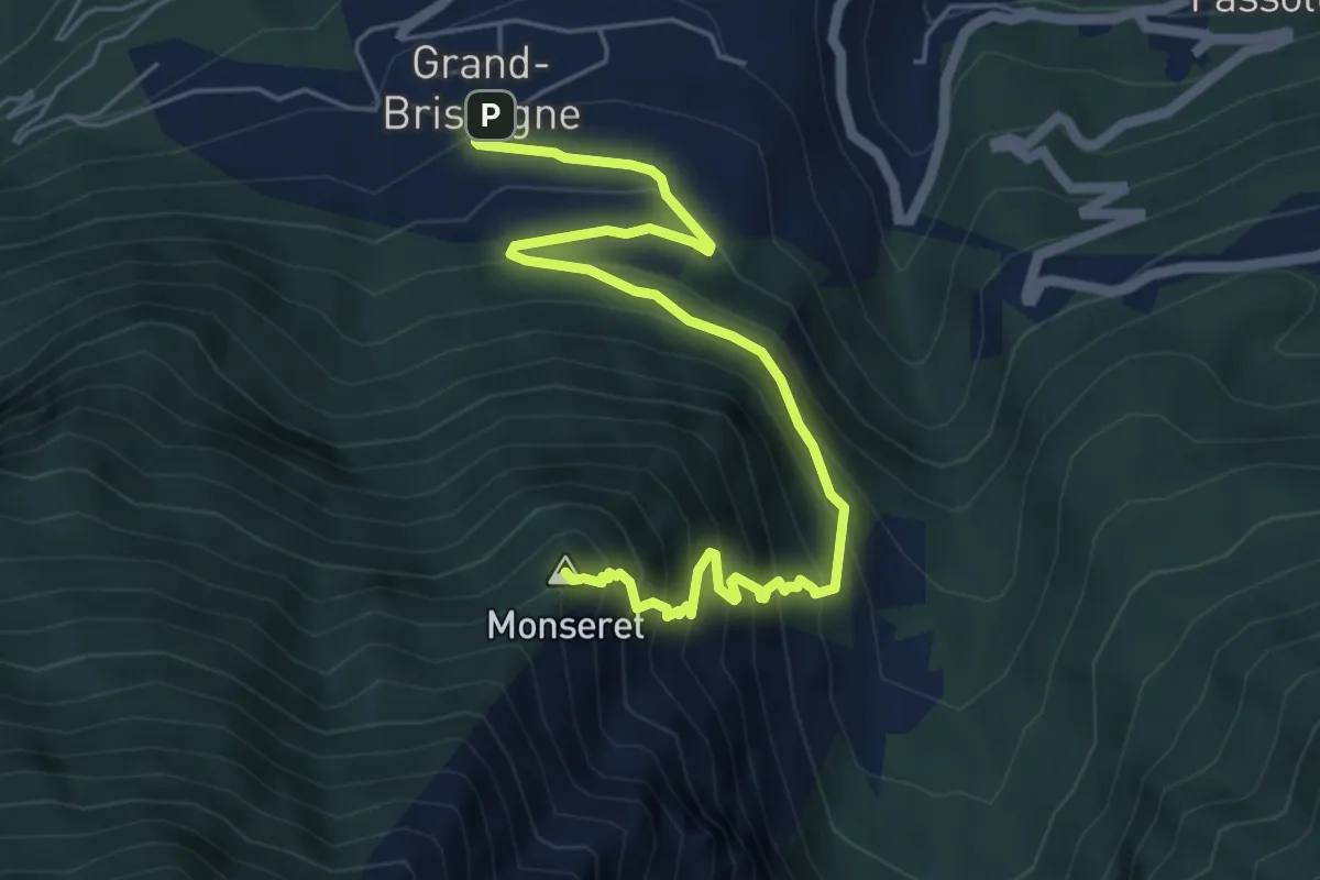
Demanding · Summit
Grand Brissogne – Percorso 11
6.8 km · ↑ 652 m · 3 h 1 min · 6 km away
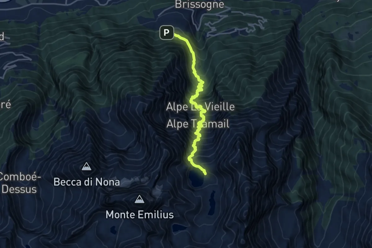
Demanding · Cabin
Grand Brissogne (Divieto di transito) – Bivacco Menabreaz
13.9 km · ↑ 1596 m · 6 h 44 min · 6 km away
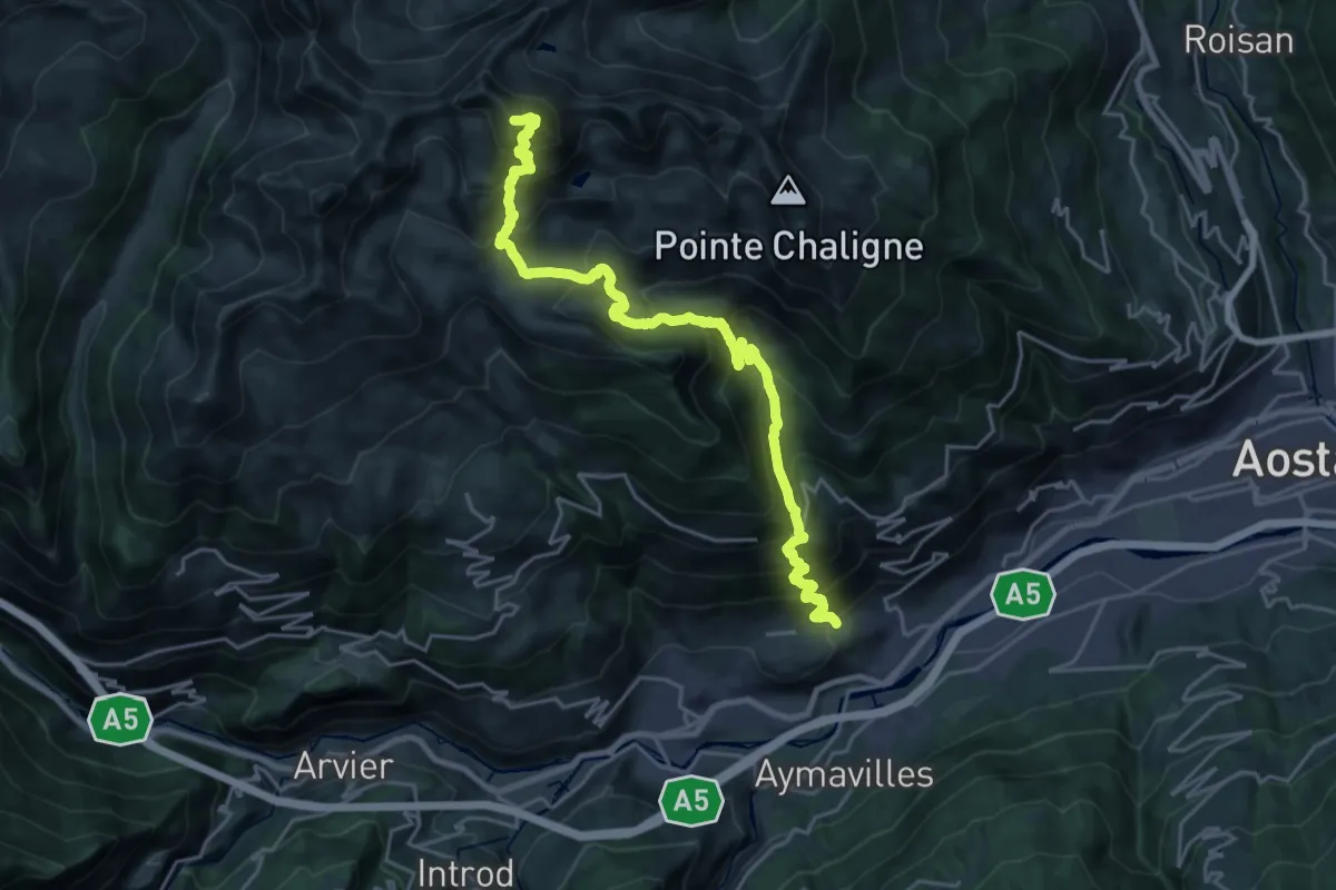
Expert · Summit
Sarre - Mont Fallère
25.7 km · ↑ 2327 m · 11 h 6 min · 6 km away
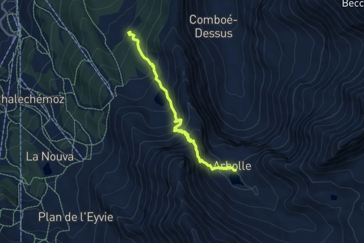
Demanding · Cabin
Chamolé – Col Replan
5.8 km · ↑ 619 m · 2 h 42 min · 6 km away
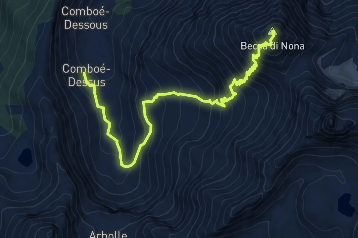
Demanding · Summit
Comboé (Comboué) – Becca di Nona
9.8 km · ↑ 1081 m · 4 h 39 min · 6 km away
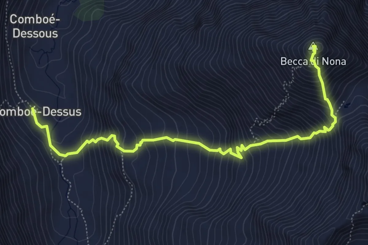
Demanding · Summit
Comboé (Comboué) – Becca di Nona
7.1 km · ↑ 989 m · 3 h 48 min · 6 km away
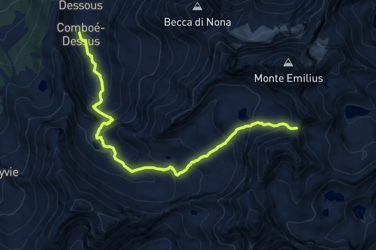
Expert · Trail
Rifugio Arbolle – Col d'Arbolle
13.1 km · ↑ 1062 m · 5 h 23 min · 6 km away
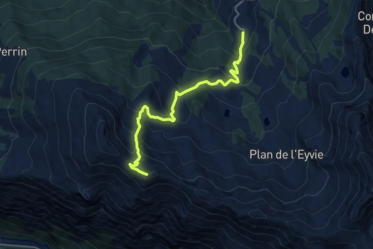
Medium · Summit
Pila, Gorraz – Pointe du Drinc
10.5 km · ↑ 794 m · 4 h 12 min · 6 km away