Trails near Aosta - Aoste
261 hikes starting within 15 km, nearest first.
Nearest first, page 2 of 6
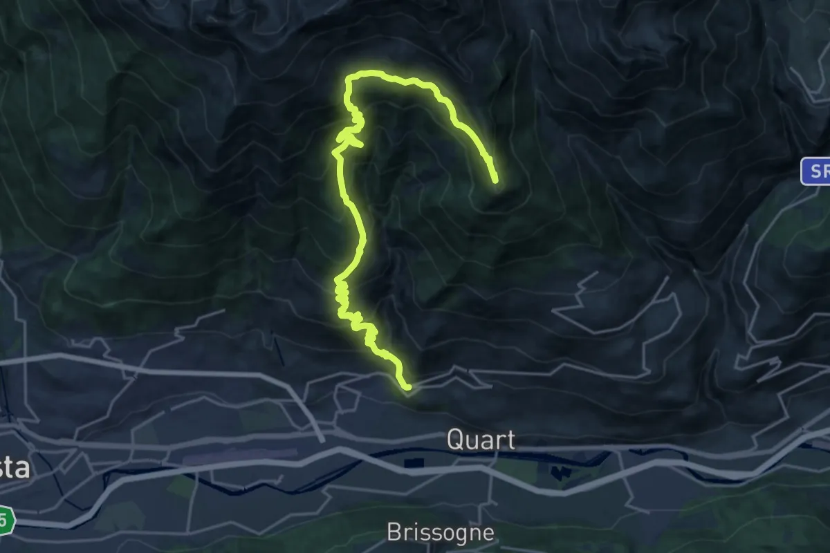
Demanding · Summit
Stradina Chateau de Quart - Croce di Fana
23.1 km · ↑ 1929 m · 9 h 39 min · 6 km away
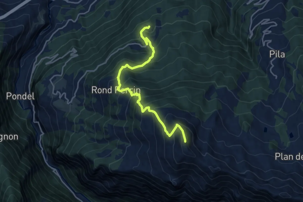
Demanding · Summit
Torlin – Pointe de la Pierre
12.8 km · ↑ 1213 m · 5 h 39 min · 6 km away
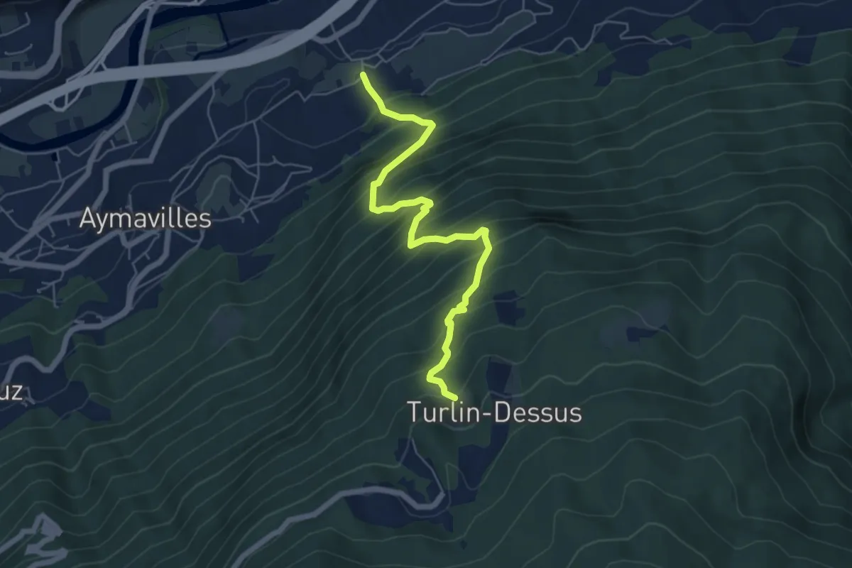
Demanding · Trail
Pompiod – Torlin desot (cappella)- Raccordo 38_S6
6.0 km · ↑ 800 m · 3 h 9 min · 6 km away
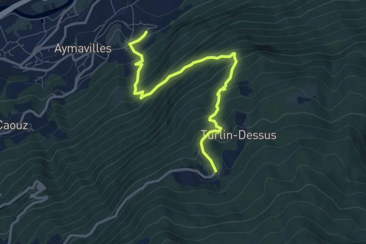
Demanding · Trail
Aymavilles – Torlin
8.0 km · ↑ 802 m · 3 h 38 min · 7 km away
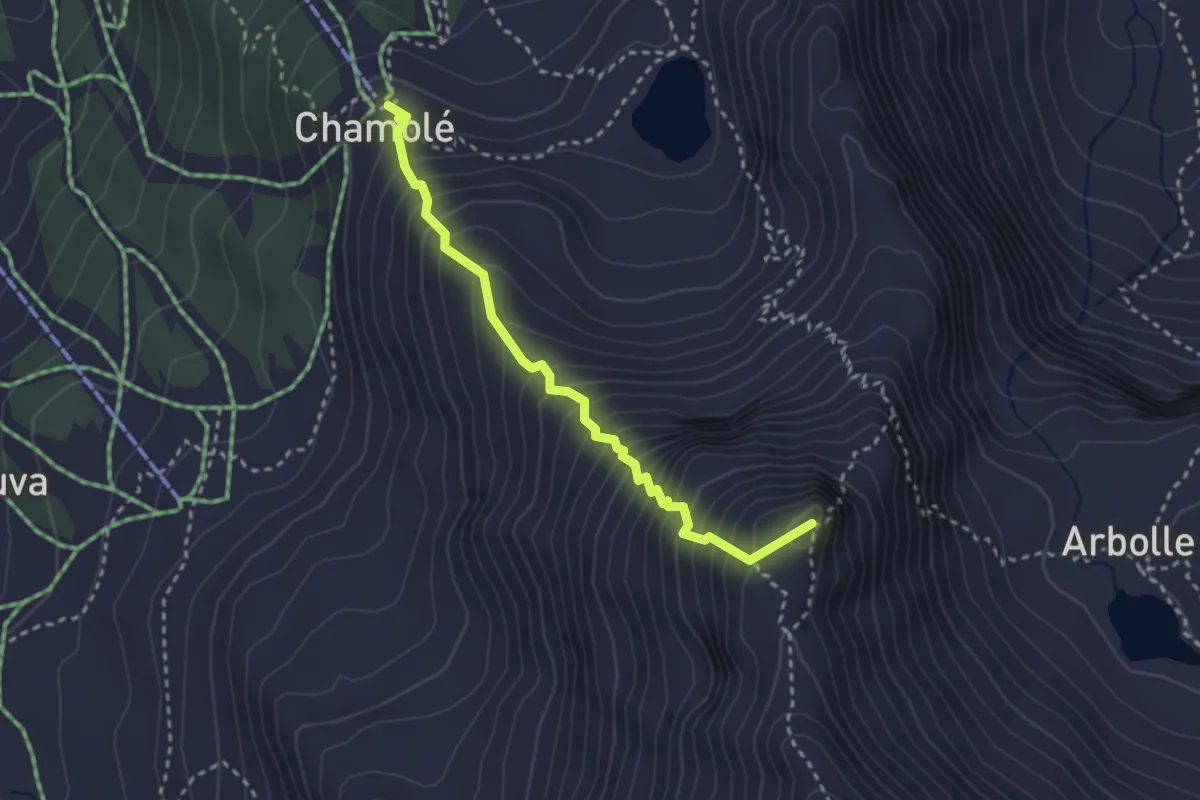
Demanding · Summit
Arrivo impianto risalita Chamolé – Tête Noire
2.9 km · ↑ 480 m · 1 h 44 min · 7 km away
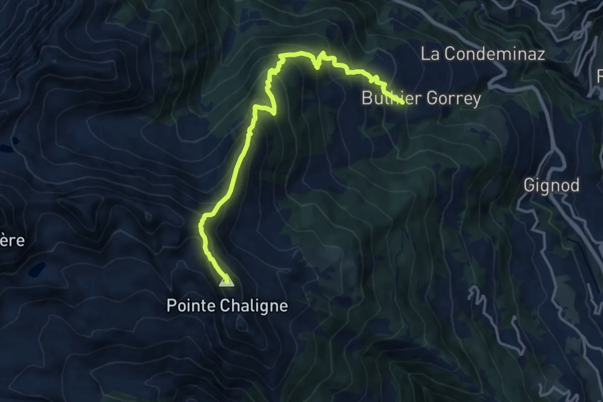
Demanding · Summit
Petit-Buthier – Pointe Chaligne
13.3 km · ↑ 1250 m · 5 h 50 min · 7 km away
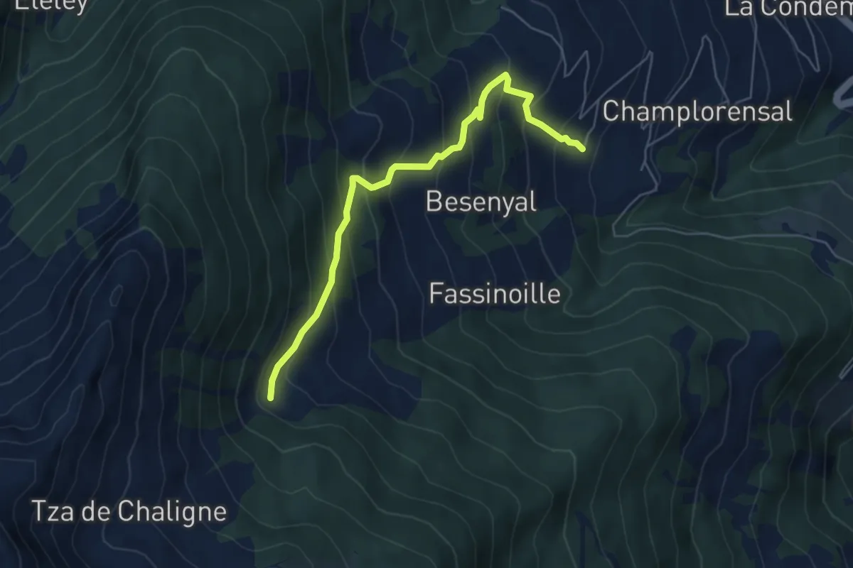
Demanding · Cabin
Buthier – Alpe e Rifugio Chaligne
5.6 km · ↑ 517 m · 2 h 27 min · 7 km away
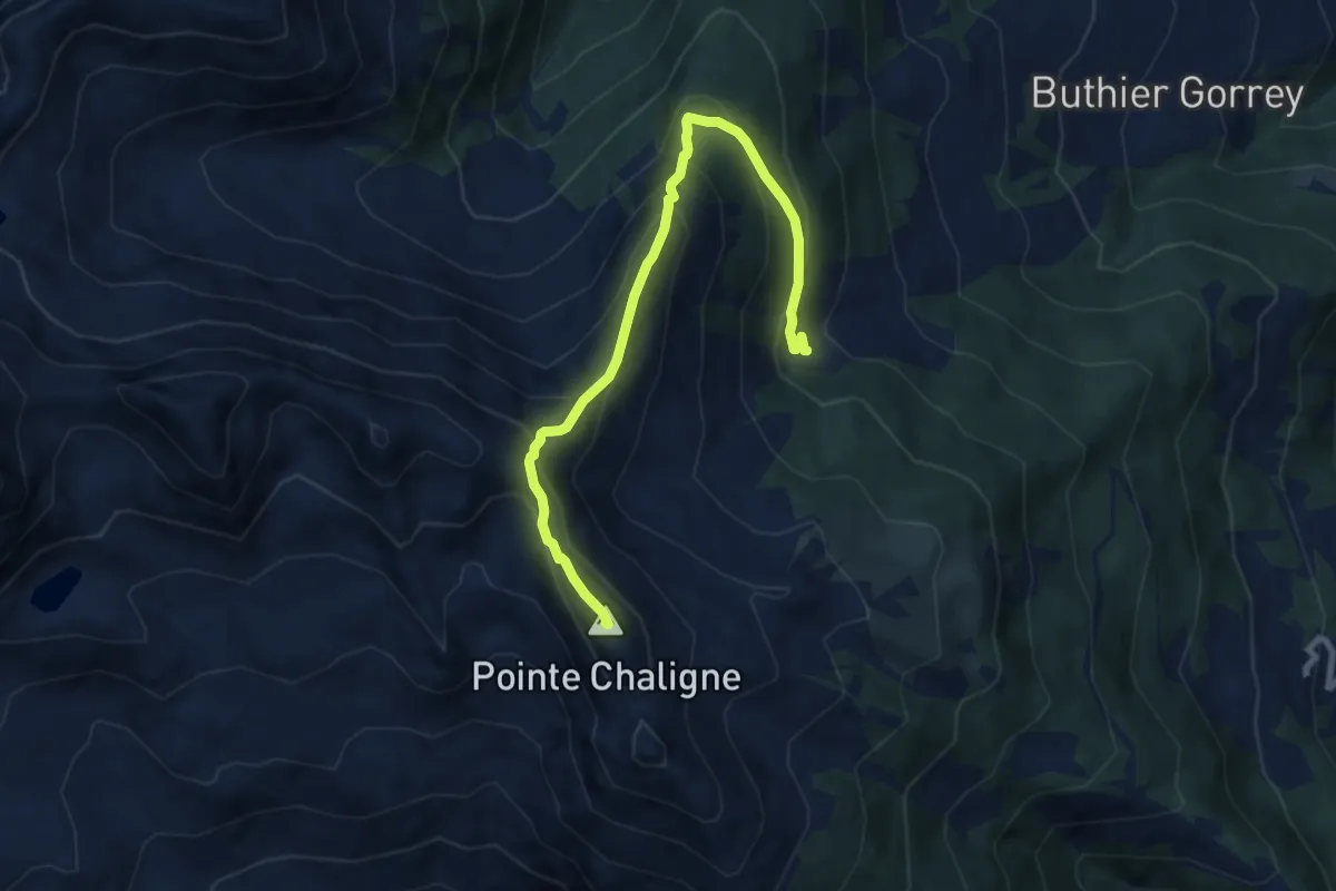
Demanding · Summit
Tour du Mont Fallère - Deuxième étape - 4/5h / Tour du Mont Fallère - Seconda tappa - 4/5h
8.7 km · ↑ 736 m · 3 h 39 min · 7 km away
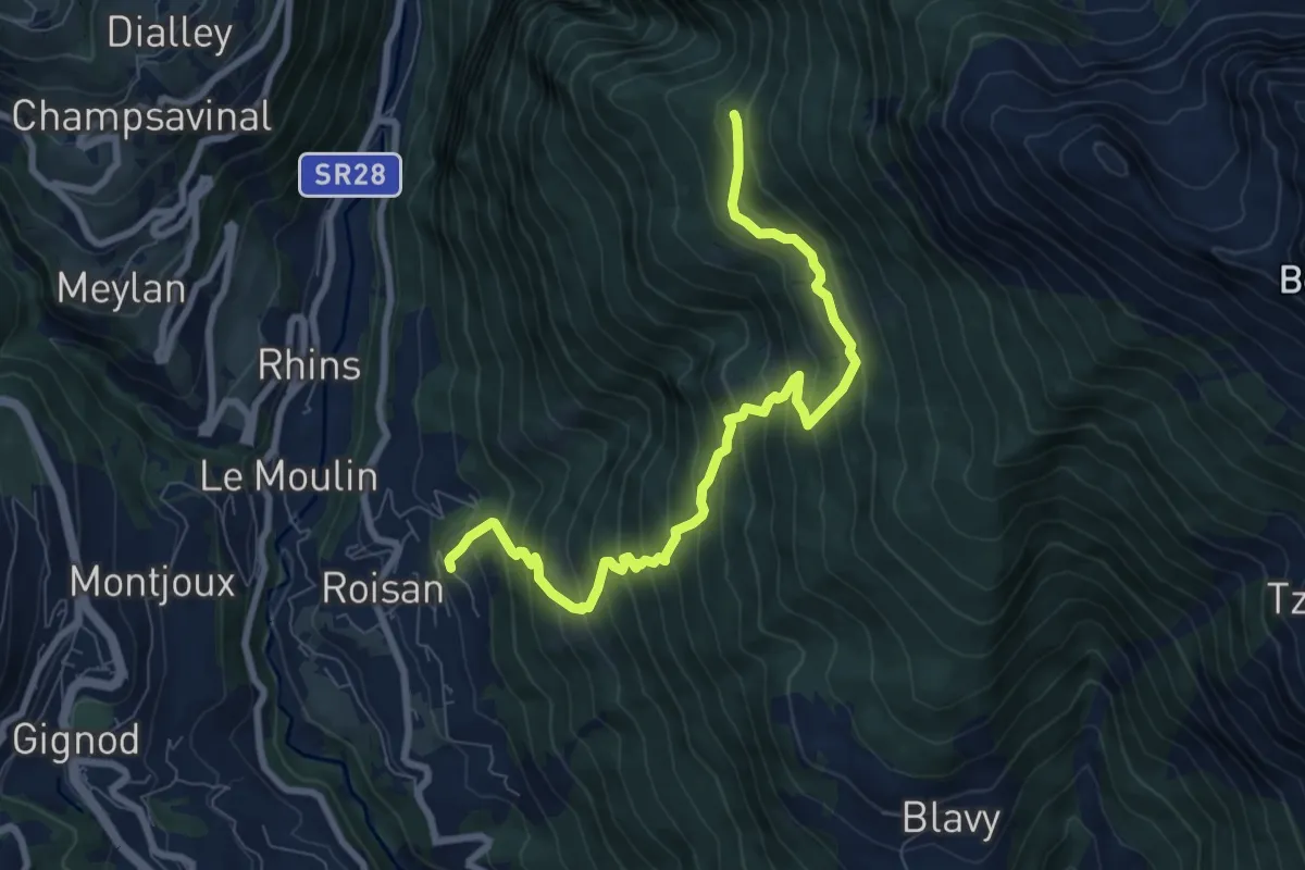
Demanding · Trail
Roisan - Praperia - Alpe Riond
8.5 km · ↑ 964 m · 4 h 6 min · 7 km away
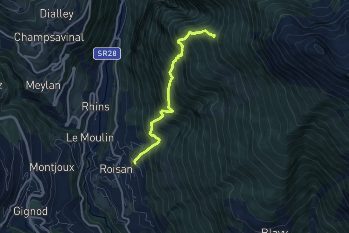
Demanding · Trail
Roisan - Riond
6.2 km · ↑ 866 m · 3 h 21 min · 7 km away
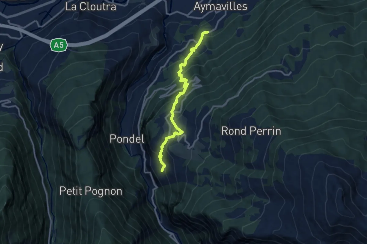
Medium · Trail
Champessolin – Serignan
8.7 km · ↑ 787 m · 3 h 46 min · 7 km away
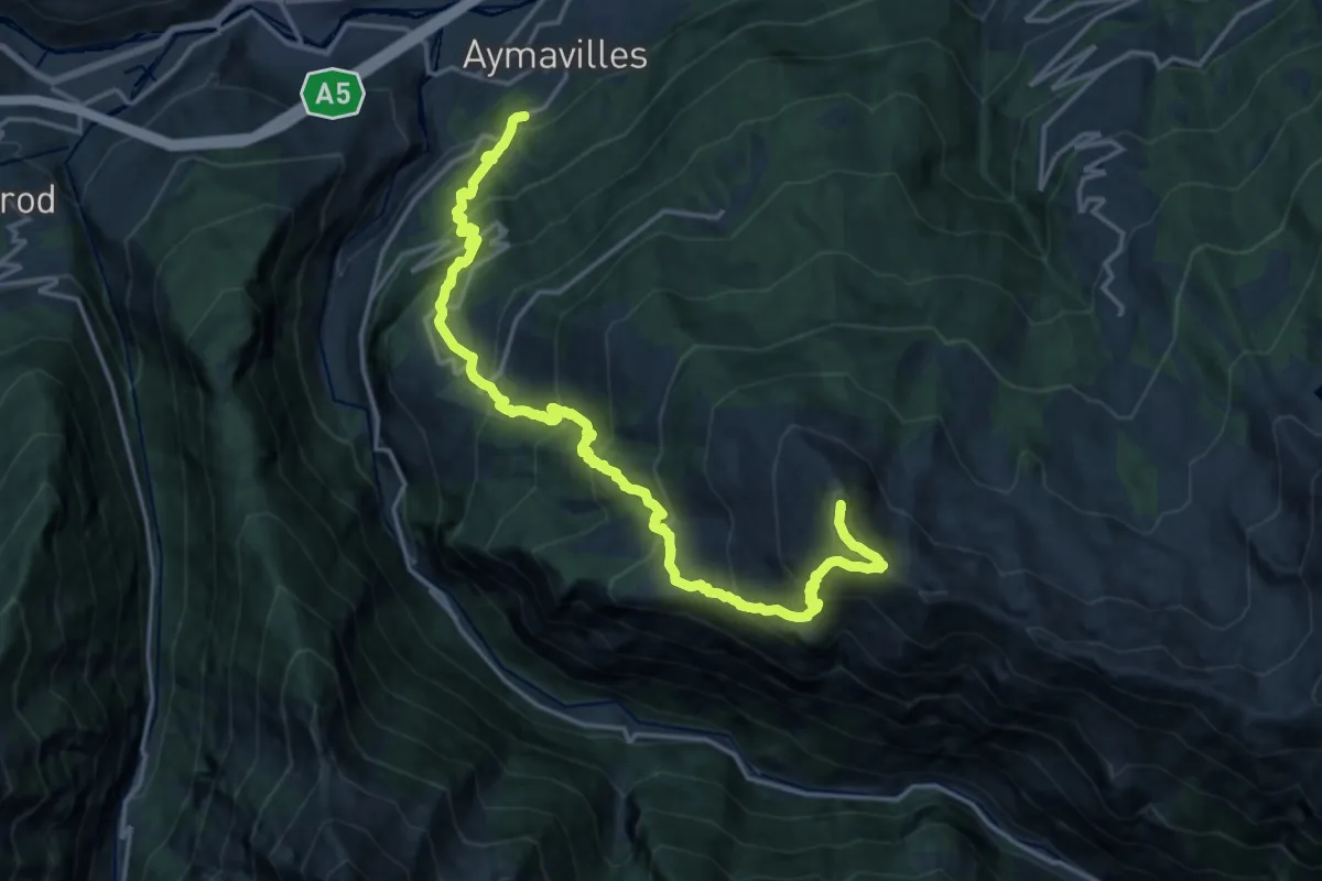
Demanding · Summit
Champessolin – Pointe de la Pierre
20.9 km · ↑ 2017 m · 9 h 18 min · 7 km away
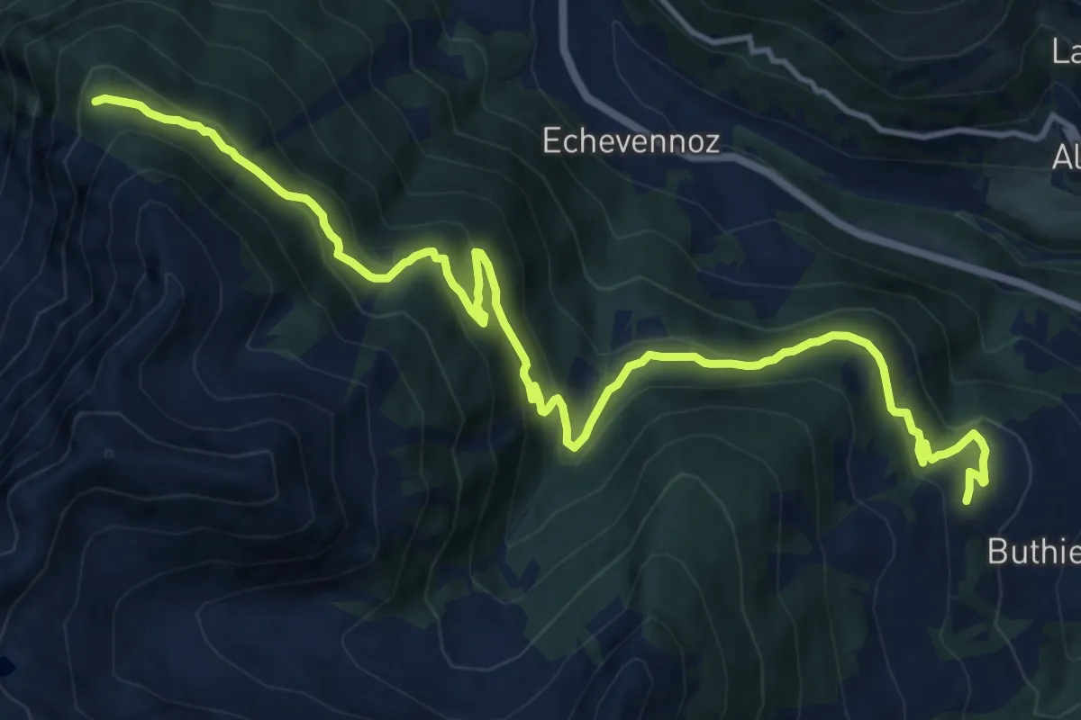
Medium · Trail
Mendey – La Lanche
15.8 km · ↑ 781 m · 5 h 25 min · 8 km away
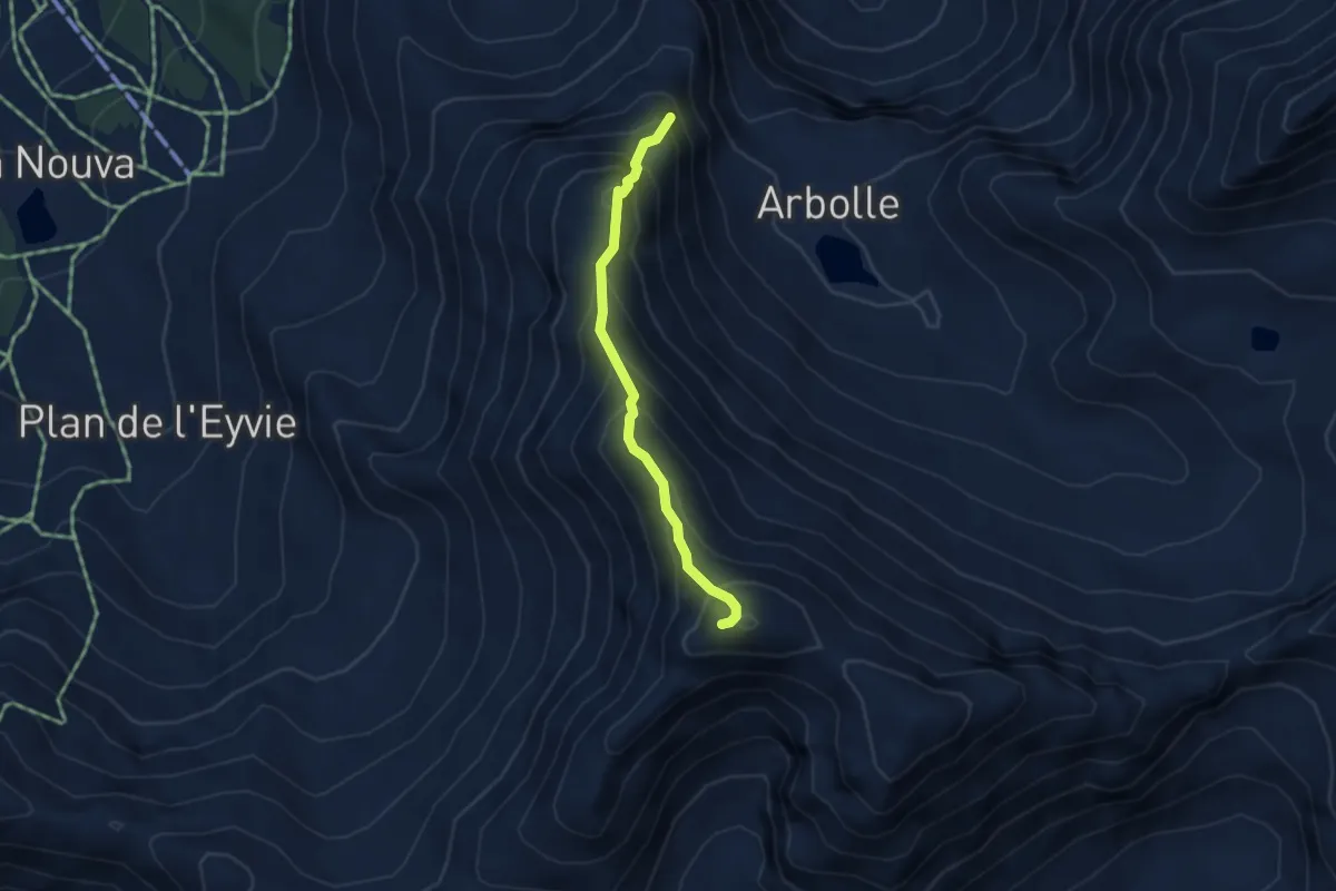
Demanding · Summit
Lac de Chamolé – Pointe-Valletta
3.3 km · ↑ 449 m · 1 h 46 min · 8 km away
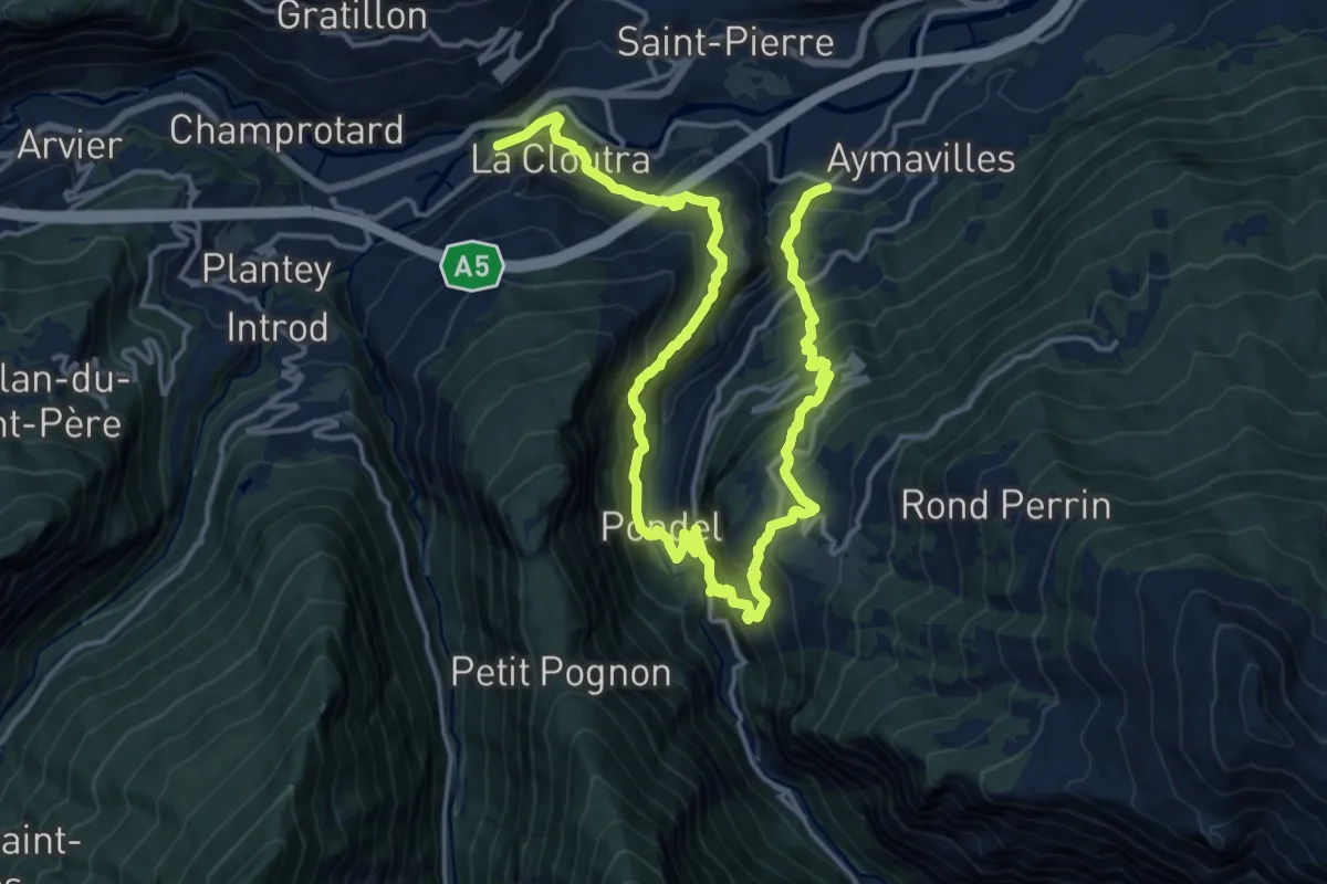
Demanding · Trail
Cammino Balteo (Bassa Via della Valle d'Aosta), Tappa 17
11.7 km · ↑ 973 m · 5 h 2 min · 8 km away
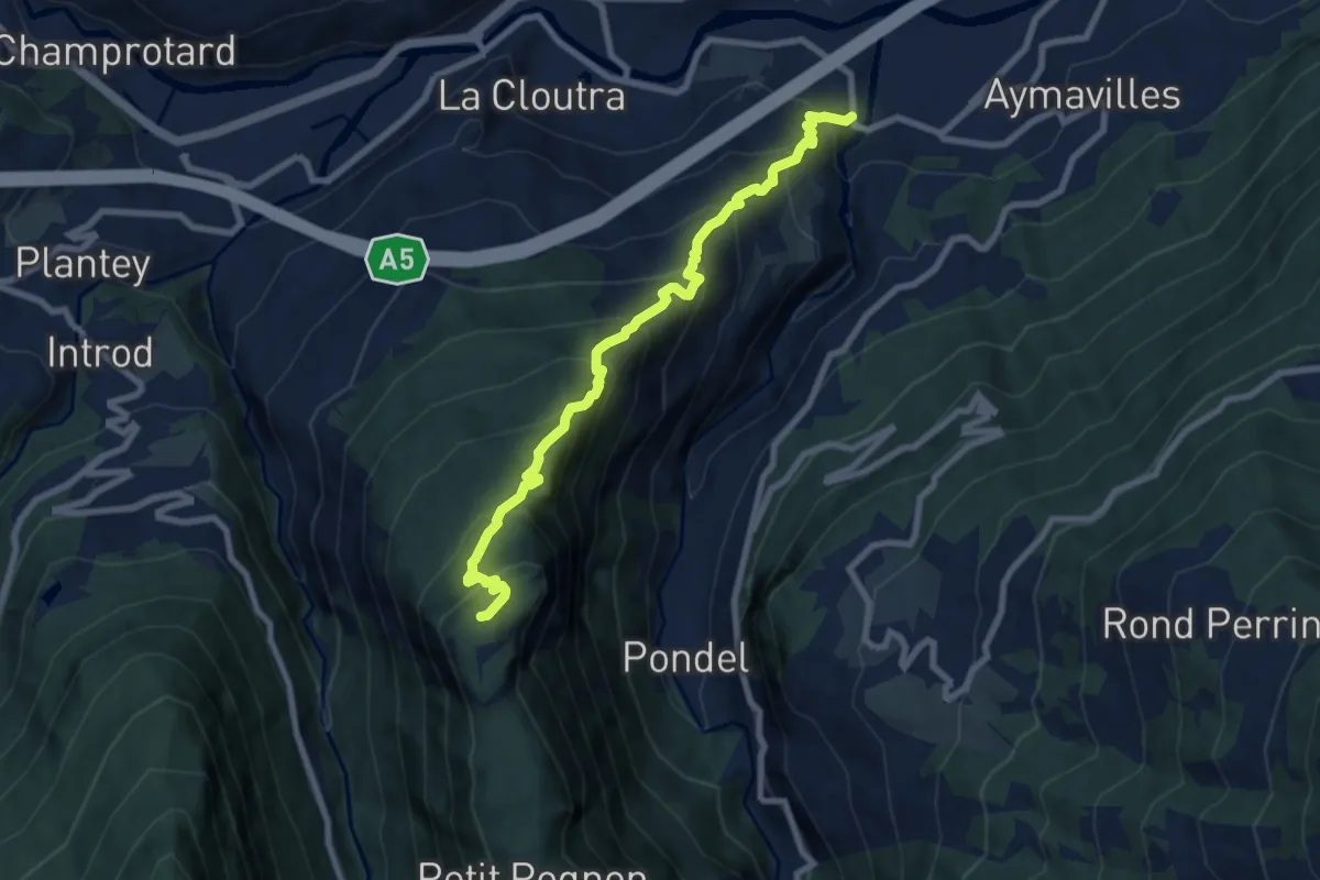
Demanding · Summit
Aymavilles (Moulin) – Petit Poignon
8.4 km · ↑ 908 m · 3 h 56 min · 8 km away
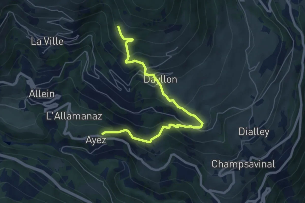
Medium · Trail
Ayez – Genevrey
5.8 km · ↑ 500 m · 2 h 27 min · 8 km away
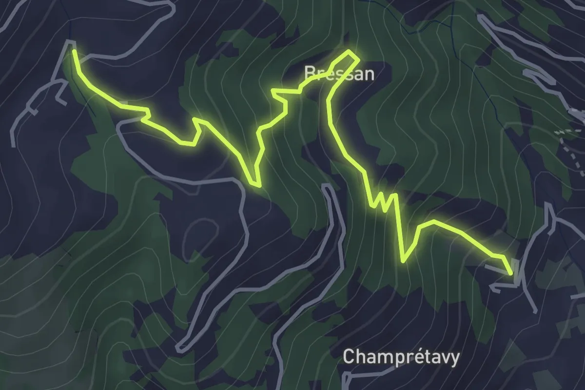
Medium · Trail
Bachaud - Rumiod la Chapelle (Remiod)
4.9 km · ↑ 426 m · 2 h 4 min · 8 km away
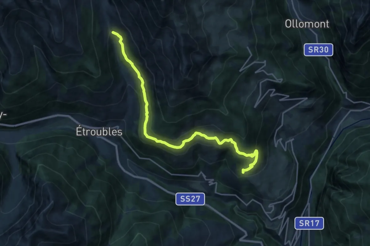
Demanding · Trail
Strada per Daillon – Alpe Ponteille (ru de Menouve)
17.4 km · ↑ 929 m · 6 h 8 min · 8 km away
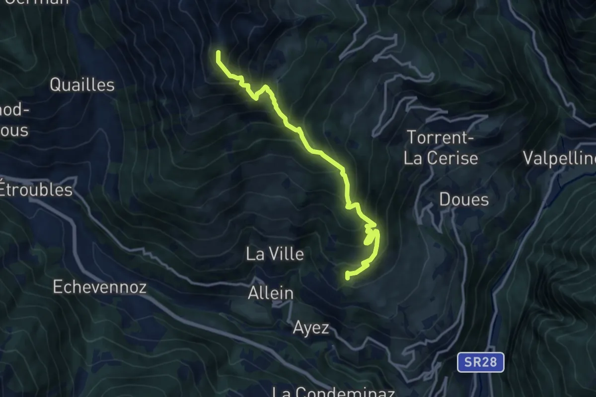
Demanding · Summit
Chanté, bivio strada per Daillon – Mont Saron
11.2 km · ↑ 1376 m · 5 h 38 min · 8 km away
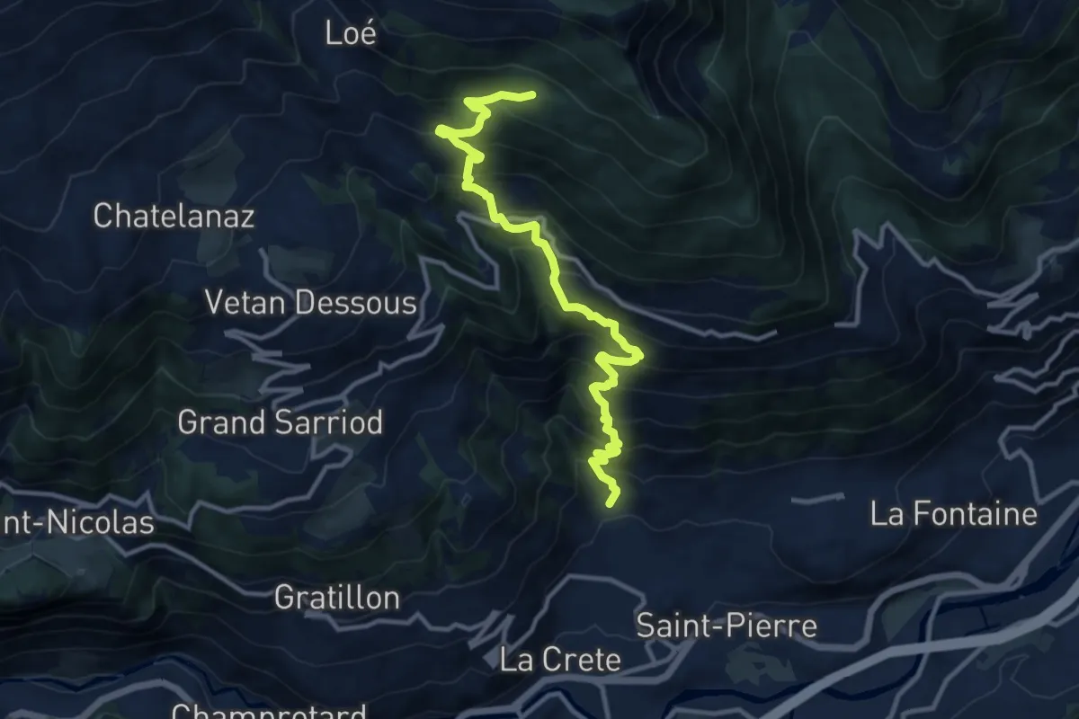
Demanding · Trail
Charrère - Verrogne
11.7 km · ↑ 1197 m · 5 h 22 min · 8 km away
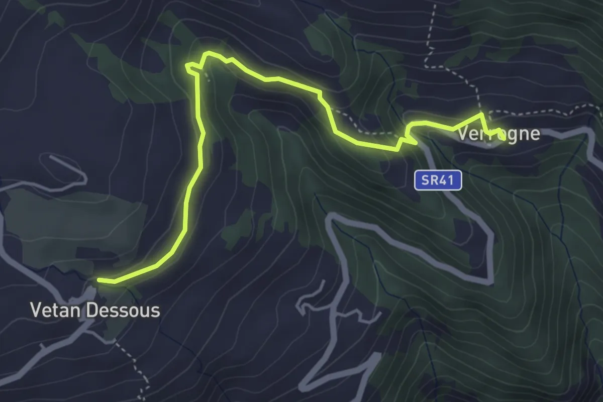
Easy · Trail
Verrogne - Vetan
4.7 km · ↑ 204 m · 1 h 33 min · 9 km away
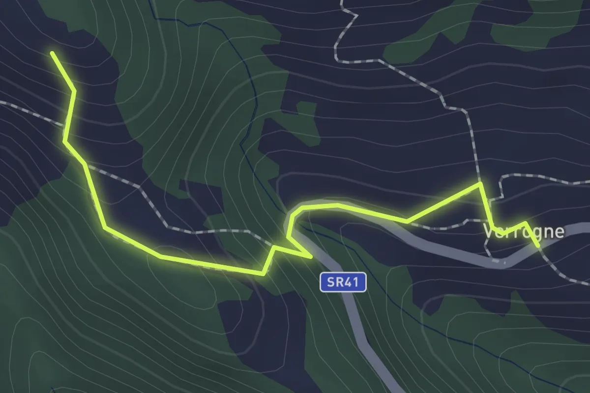
Easy · Trail
Verrogne - Vulmian
2.0 km · ↑ 160 m · 50 min · 9 km away
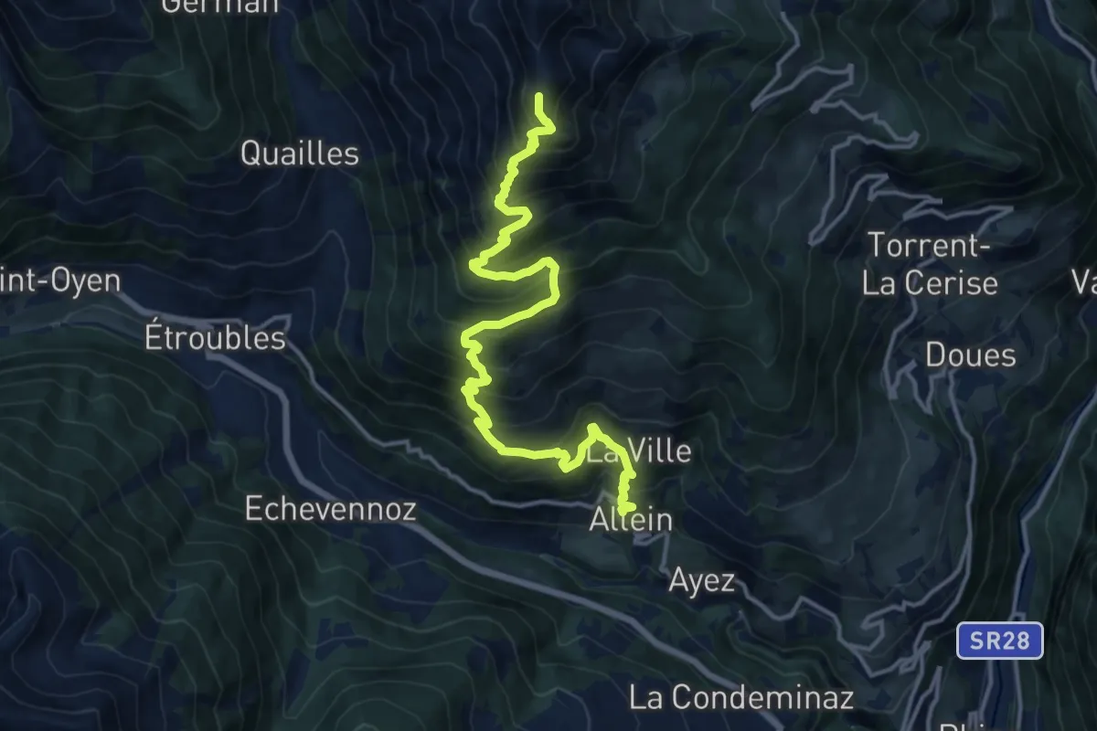
Demanding · Summit
Allein – Mont Saron
15.8 km · ↑ 1501 m · 6 h 59 min · 9 km away
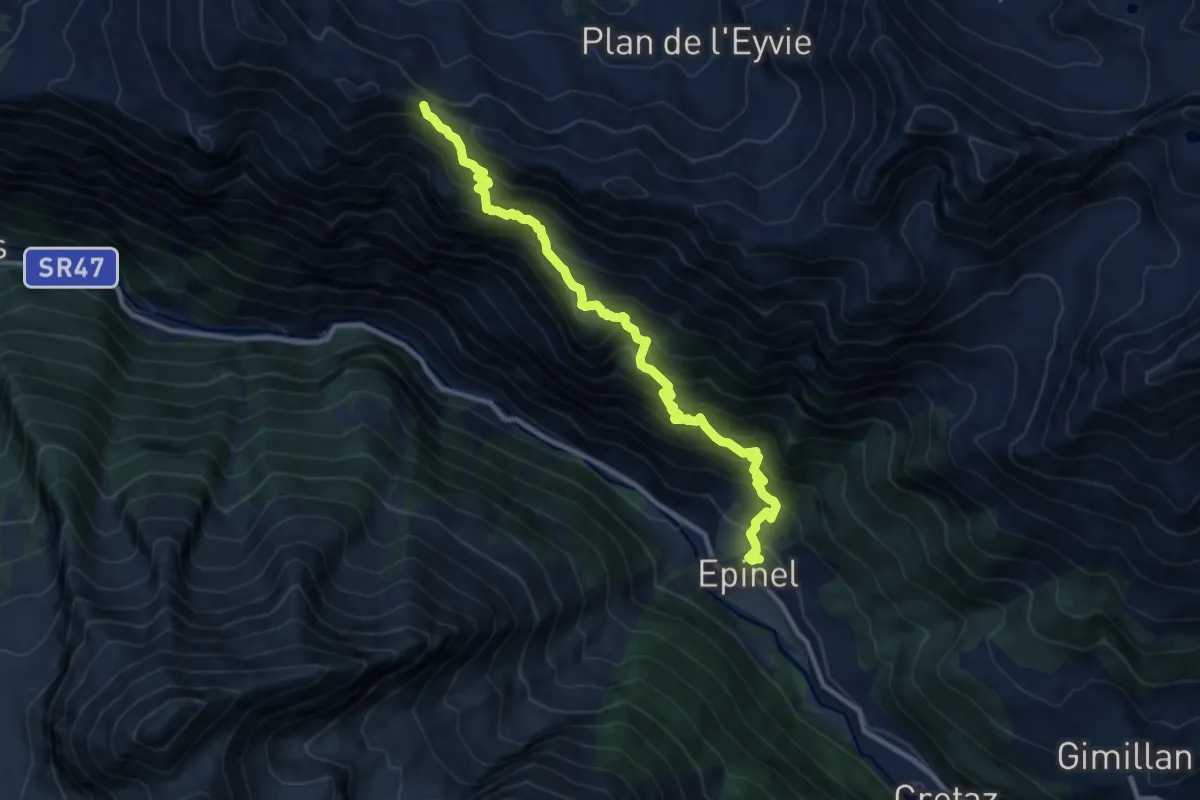
Demanding · Trail
Epinel – Col du Drinc
11.3 km · ↑ 1199 m · 5 h 16 min · 9 km away
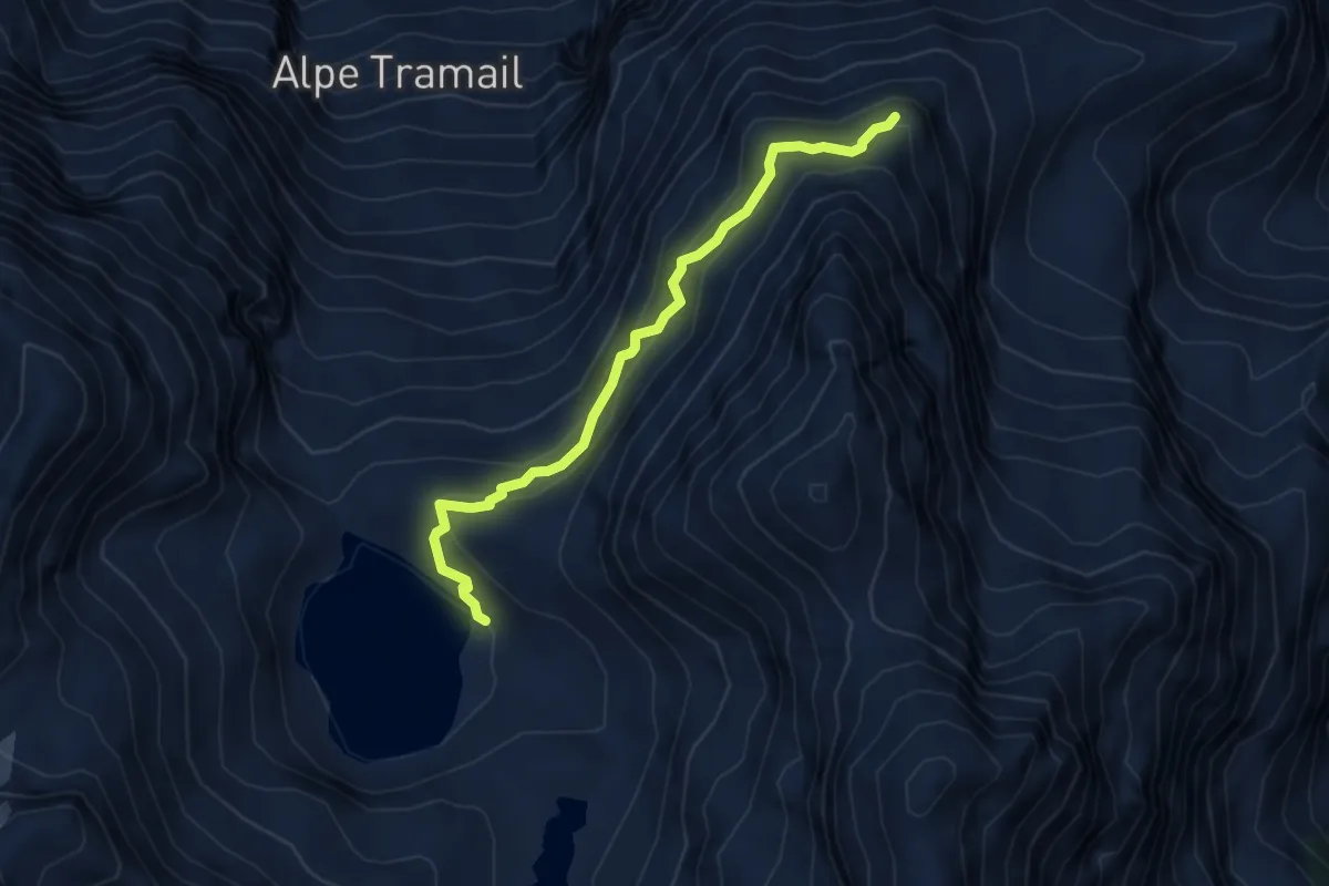
Demanding · Cabin
Bivacco Menabreaz – Ommo Bonplan
4.4 km · ↑ 410 m · 1 h 56 min · 9 km away
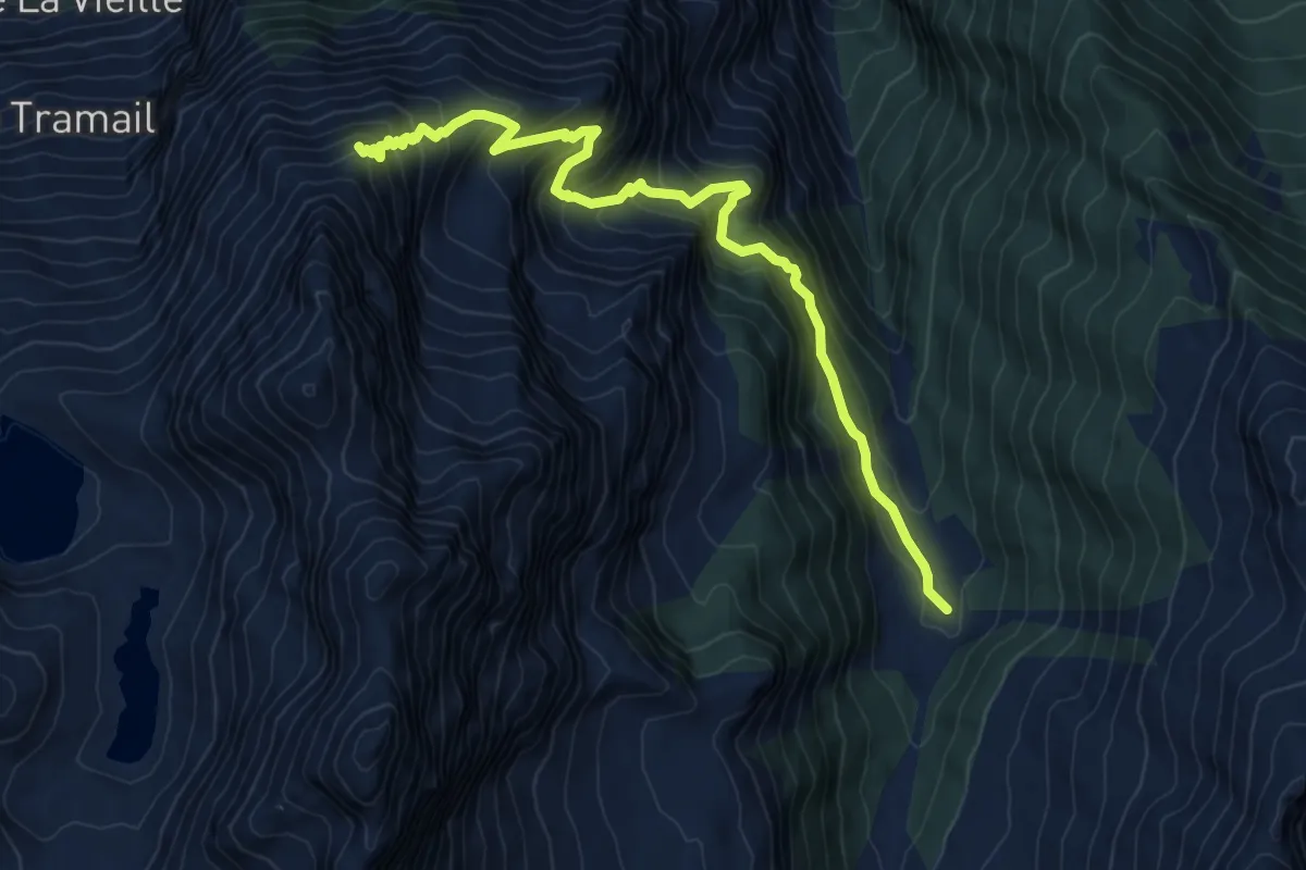
Demanding · Trail
Praz-Bornaz – Ommo Bonplan
9.6 km · ↑ 998 m · 4 h 26 min · 9 km away
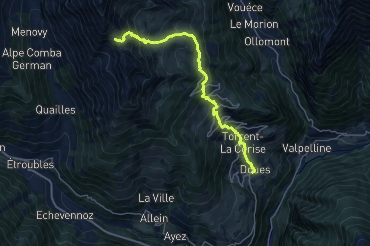
Demanding · Trail
Planavilla – Col Champillon
15.8 km · ↑ 1577 m · 7 h 9 min · 9 km away
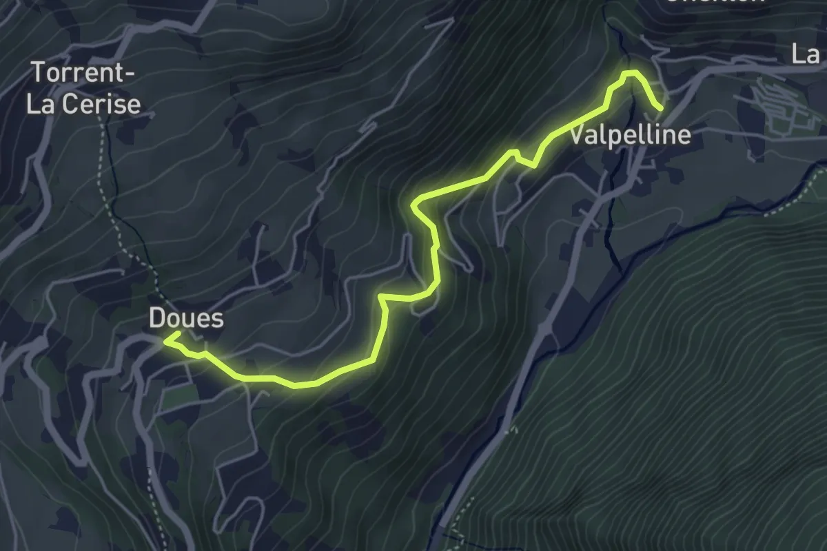
Expert · Trail
Doues – Crête
4.8 km · ↑ 339 m · 1 h 53 min · 9 km away
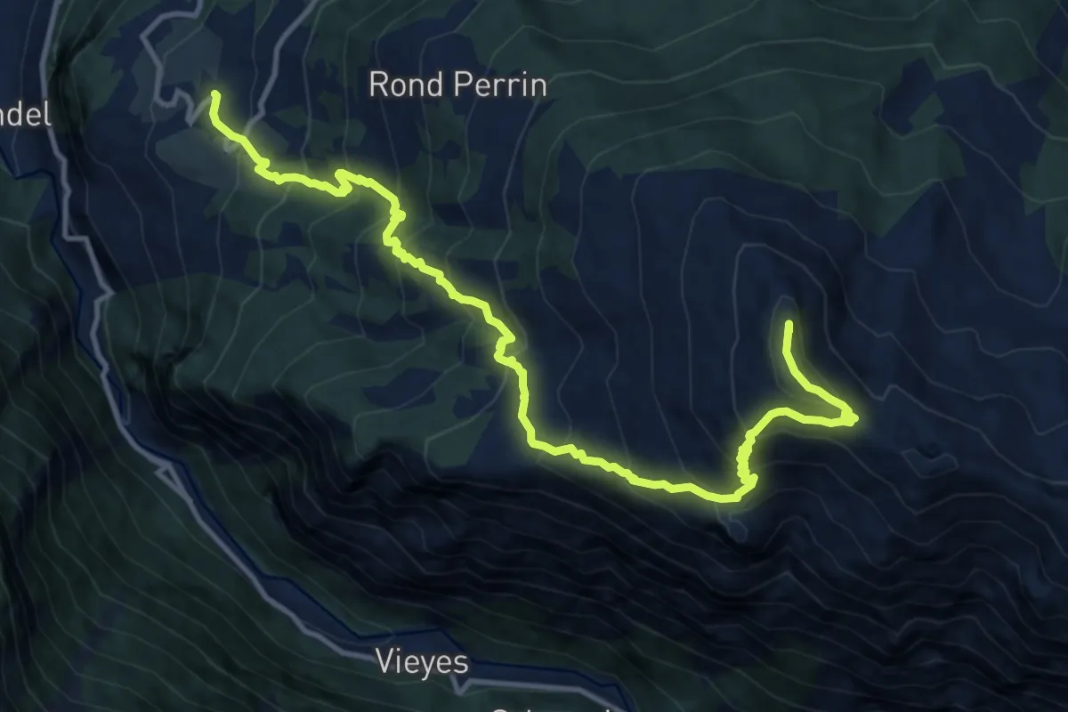
Demanding · Summit
Ozein – Pointe De La Pierre
14.5 km · ↑ 1395 m · 6 h 27 min · 9 km away
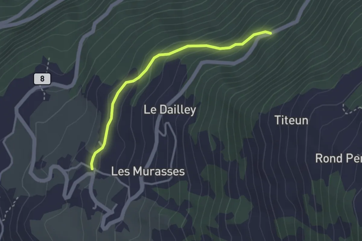
Easy · Trail
Ozein – Strada per Torlin
2.7 km · ↑ 151 m · 58 min · 9 km away
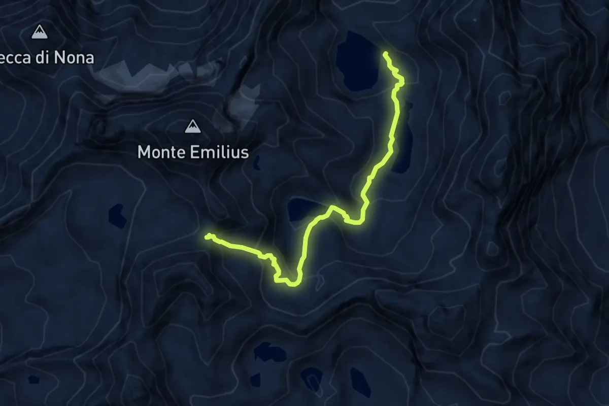
Expert · Cabin
Bivacco Menabreaz – Col d'Arbolle
8.9 km · ↑ 622 m · 3 h 27 min · 9 km away
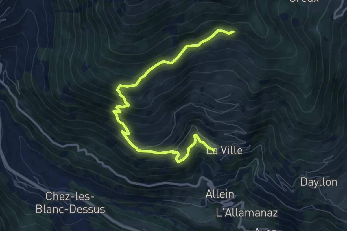
Medium · Cabin
Tournalin
8.8 km · ↑ 647 m · 3 h 29 min · 9 km away
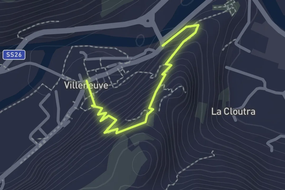
Medium · Trail
Capoluogo – Saint Roch
2.0 km · ↑ 188 m · 53 min · 9 km away
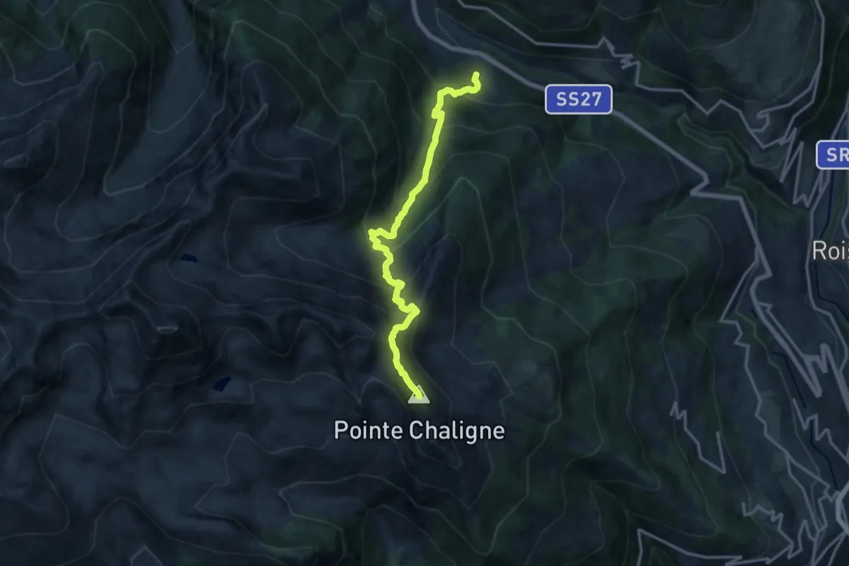
Demanding · Summit
Chez-Les-Blancs – Pointe Chaligne
13.0 km · ↑ 1353 m · 6 h · 9 km away
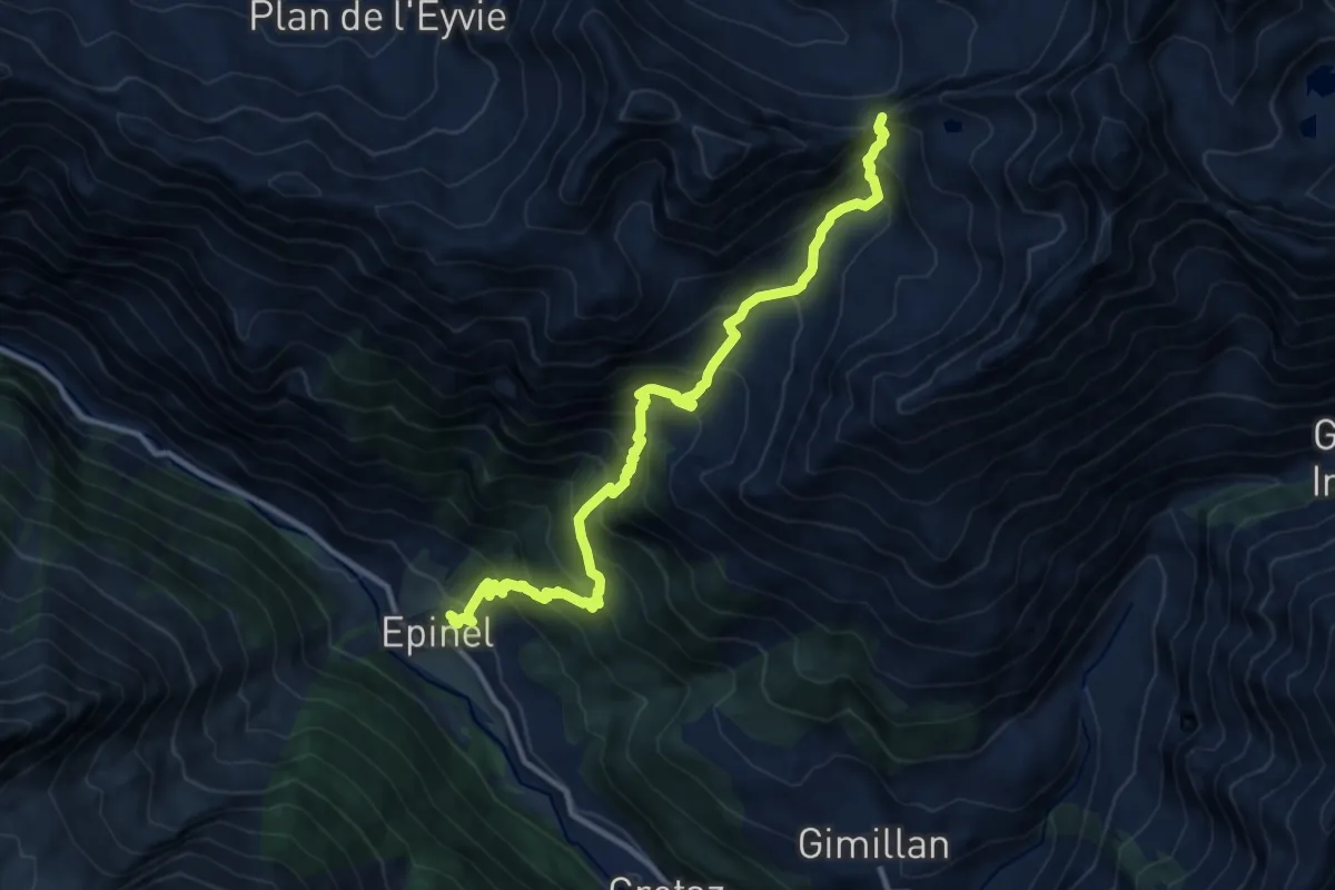
Demanding · Trail
Epinel – Col Garin
12.4 km · ↑ 1361 m · 5 h 53 min · 9 km away
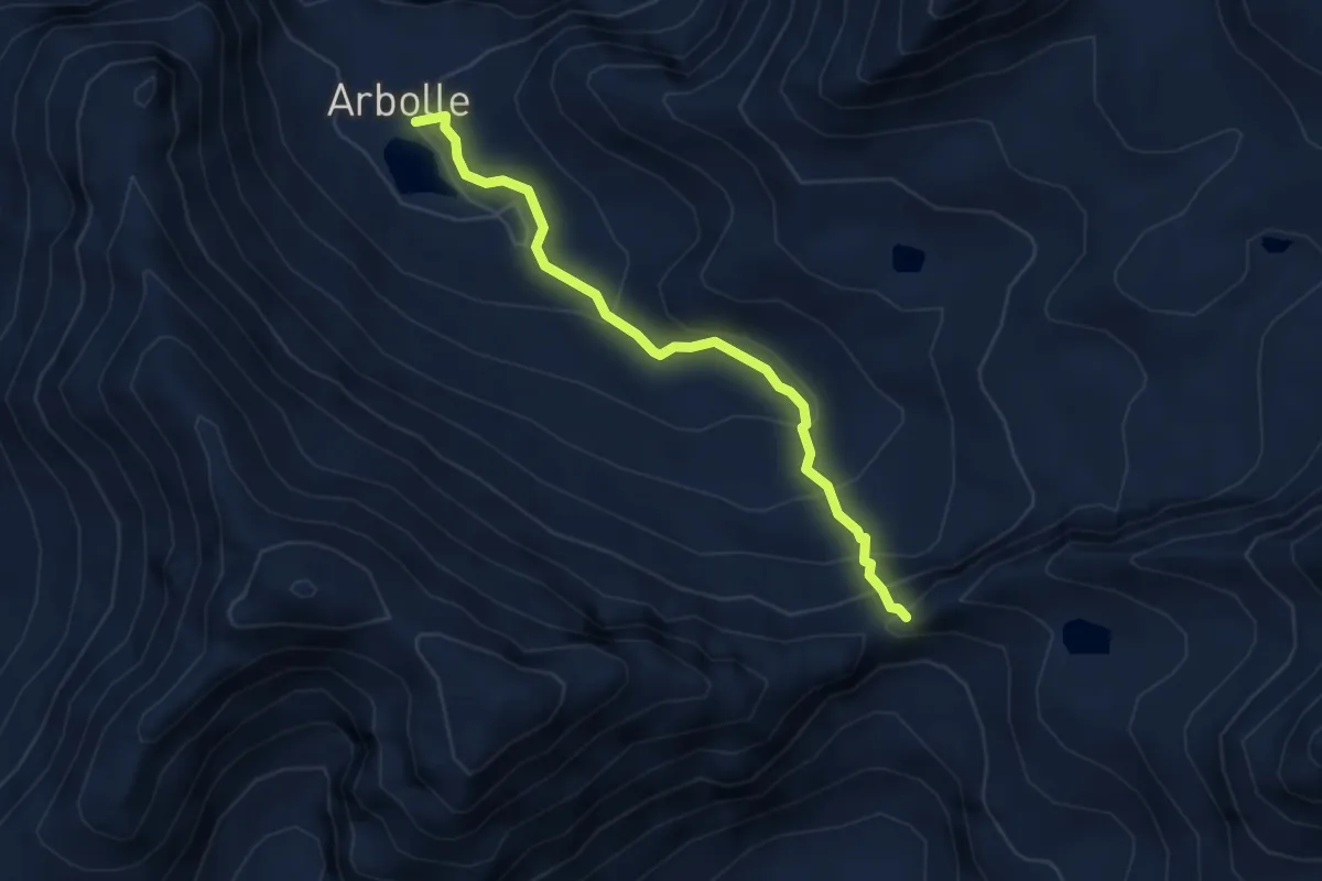
Demanding · Cabin
Rifugio Arbolle – Col Garin
3.9 km · ↑ 313 m · 1 h 36 min · 9 km away
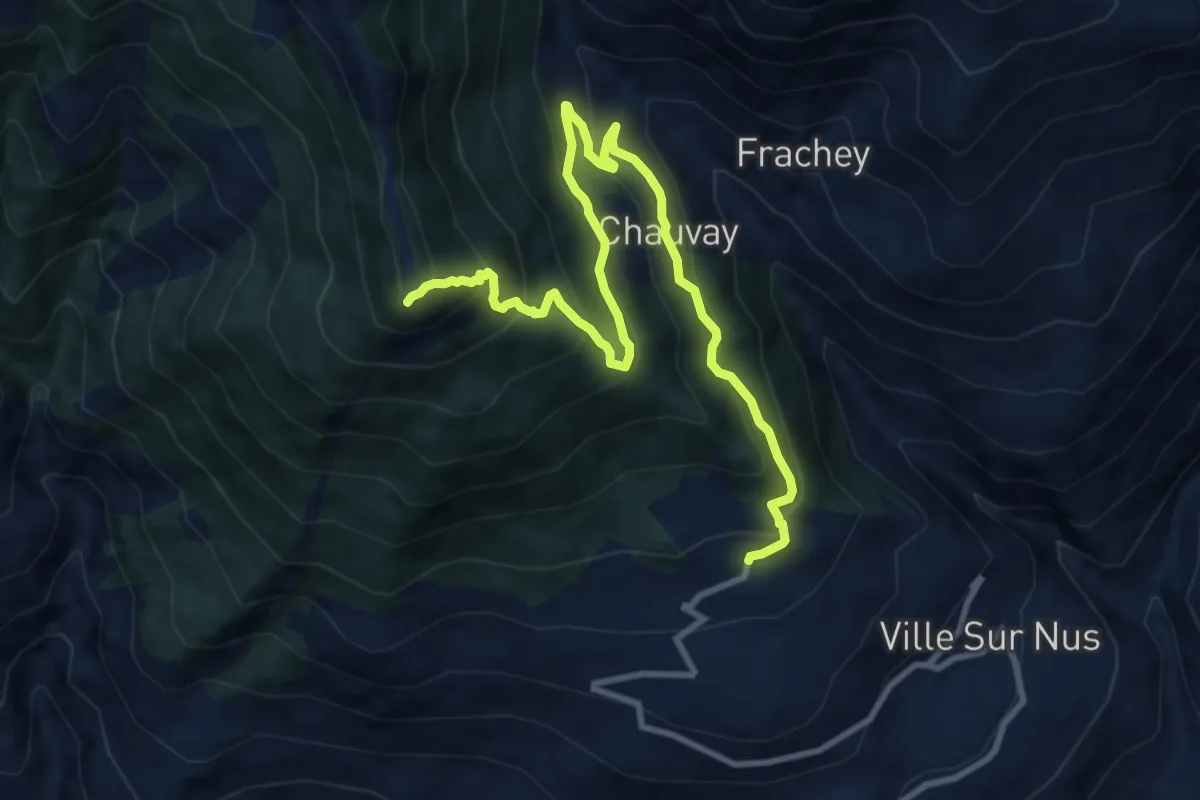
Demanding · Summit
Croce di Fana (diretta)
11.5 km · ↑ 906 m · 4 h 41 min · 9 km away
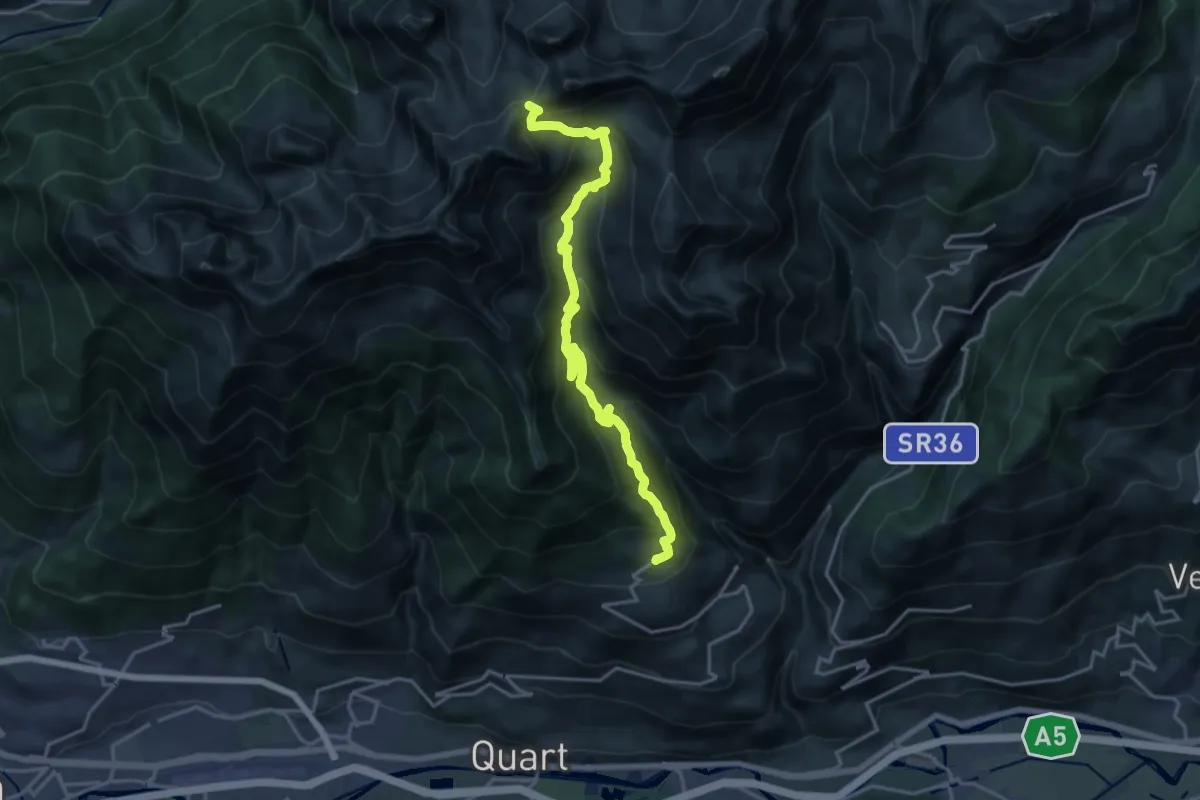
Demanding · Trail
Fonteil – Col de Saint-Barthélemy
18.9 km · ↑ 1370 m · 7 h 26 min · 9 km away
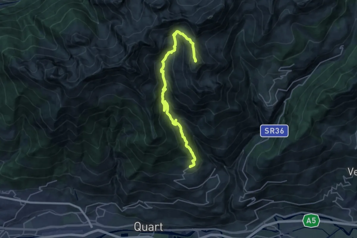
Demanding · Summit
Fonteil – Grand Pays
20.1 km · ↑ 1428 m · 7 h 50 min · 9 km away
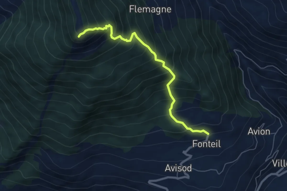
Medium · Summit
Croce di Fana
5.5 km · ↑ 745 m · 2 h 55 min · 9 km away
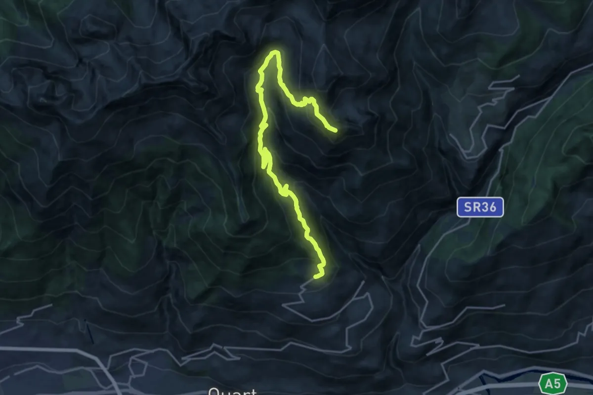
Demanding · Summit
Fonteil - Becca d'Aveille
19.8 km · ↑ 1316 m · 7 h 32 min · 10 km away
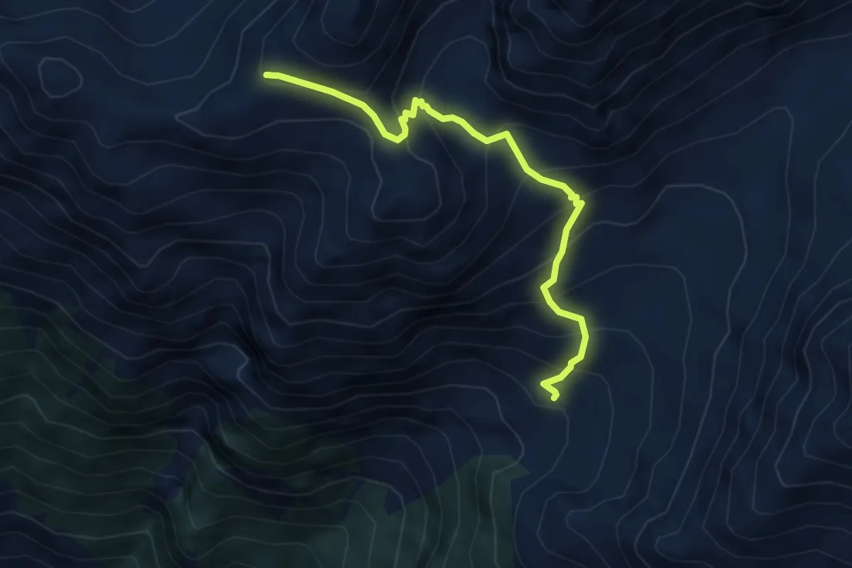
Medium · Trail
Arpisson – Col Chasèche
4.8 km · ↑ 490 m · 2 h 12 min · 10 km away
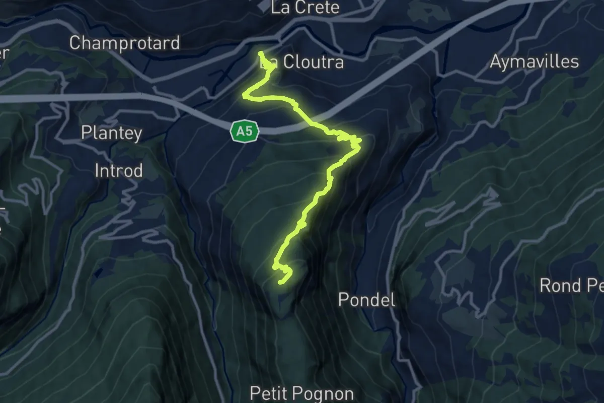
Demanding · Summit
Villeneuve – Petit Poignon
10.8 km · ↑ 928 m · 4 h 33 min · 10 km away
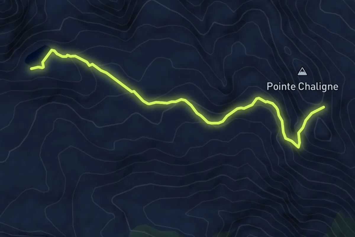
Demanding · Trail
Lago Fallère – Col de Metz
7.9 km · ↑ 547 m · 3 h 2 min · 10 km away
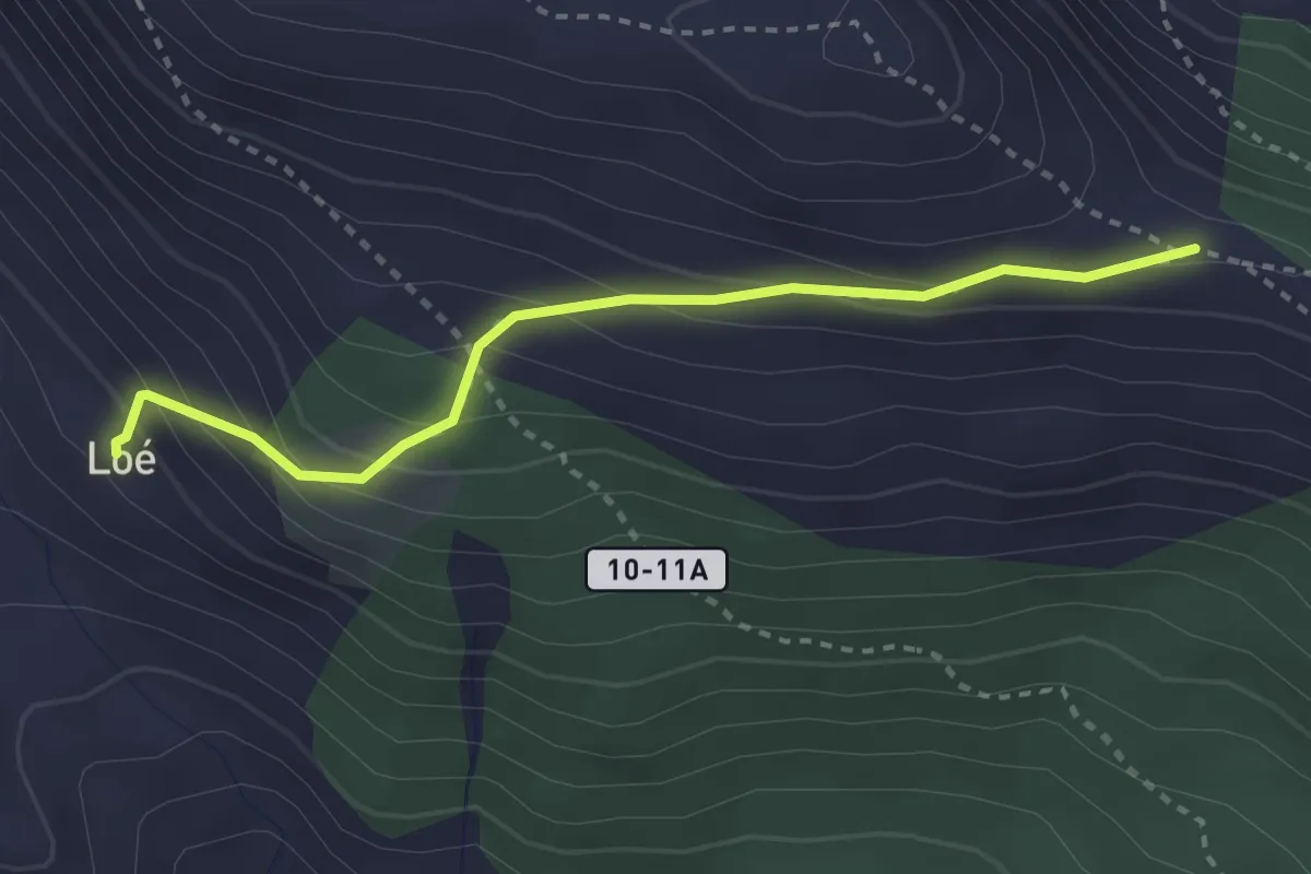
Demanding · Trail
Alp Loé – Percorso 9A
2.9 km · ↑ 247 m · 1 h 14 min · 10 km away
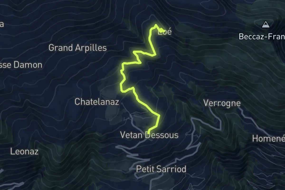
Medium · Trail
Vetan – Alpe Loe (Or)
7.7 km · ↑ 362 m · 2 h 36 min · 10 km away
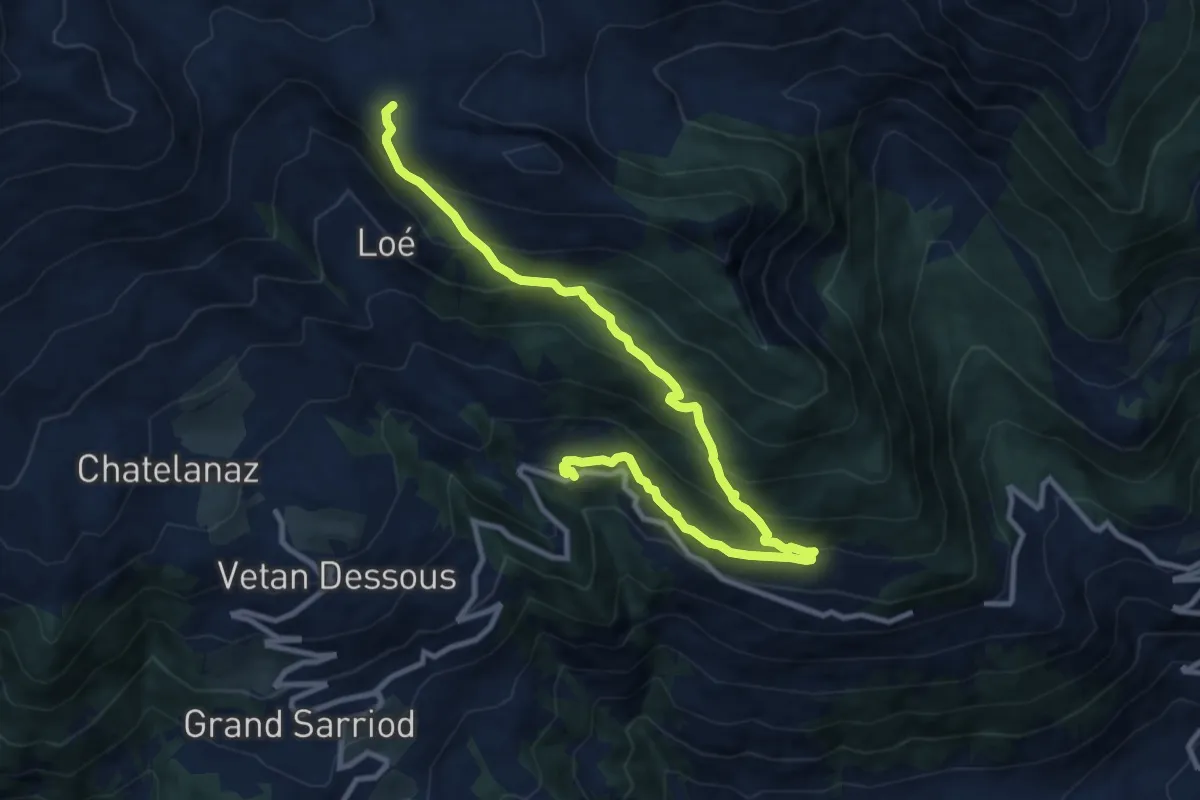
Demanding · Trail
Percorso 11 – Verrogne
11.9 km · ↑ 821 m · 4 h 36 min · 10 km away