Trails near Aosta - Aoste
261 hikes starting within 15 km, nearest first.
Nearest first, page 3 of 6
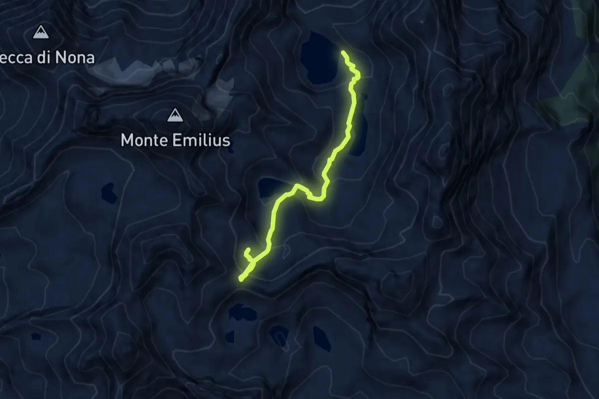
Expert · Cabin
Bivacco Menabreaz – Col des Laures
8.1 km · ↑ 578 m · 3 h 11 min · 10 km away
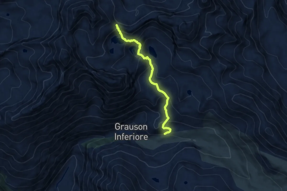
Demanding · Trail
Percorso 8 – Col de Laures
8.0 km · ↑ 625 m · 3 h 15 min · 10 km away
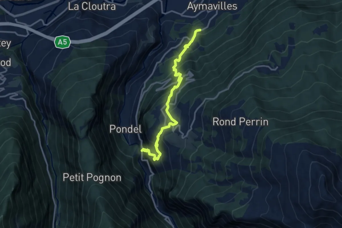
Demanding · Trail
Strada regionale 47 – Champsolin
10.2 km · ↑ 974 m · 4 h 31 min · 10 km away
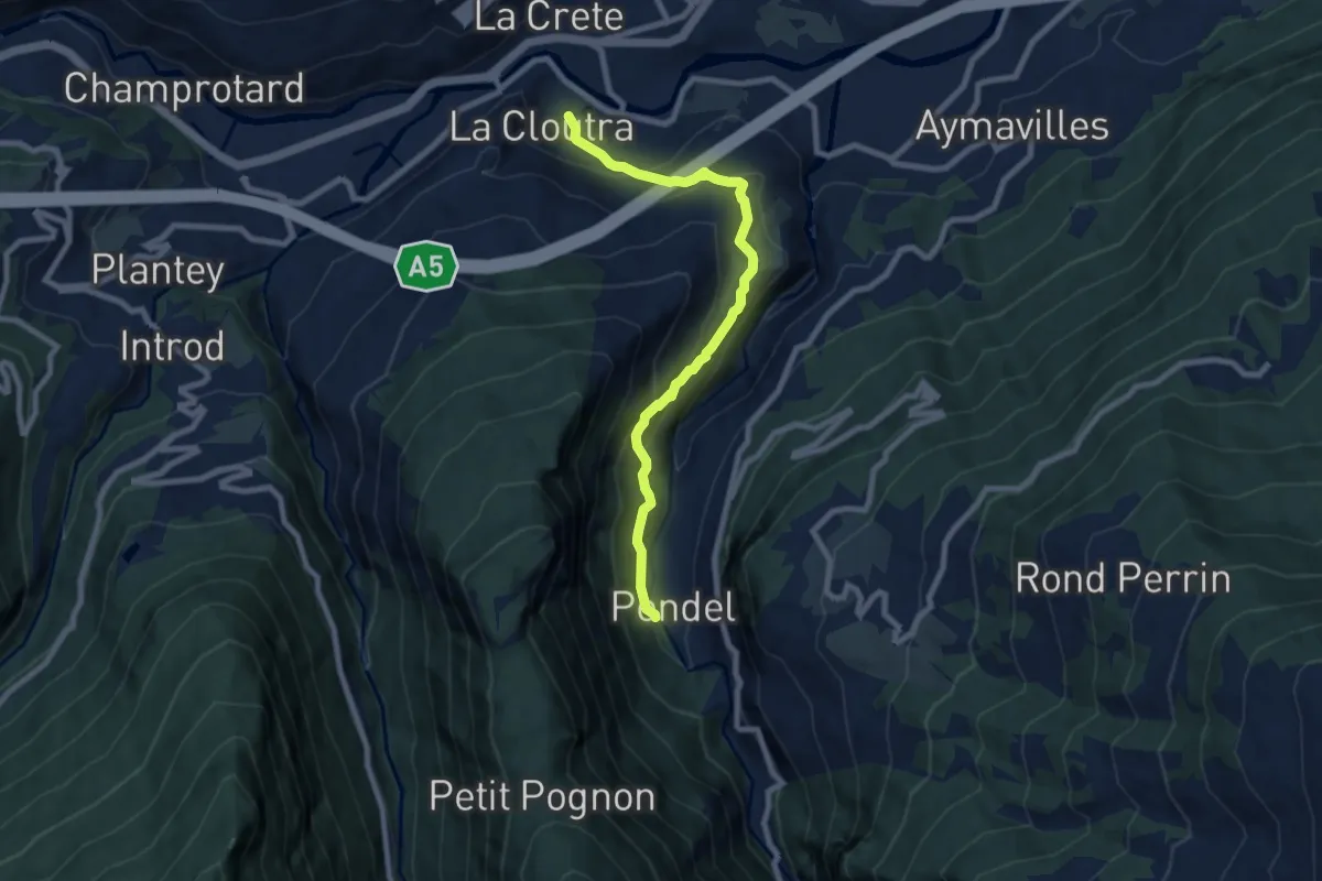
Medium · Trail
Chavonne – Pondel (Aymavilles)
8.2 km · ↑ 606 m · 3 h 15 min · 10 km away
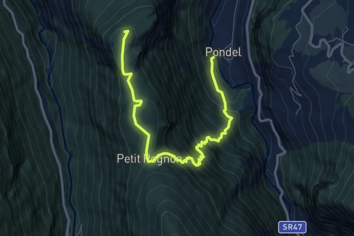
Demanding · Summit
Pondel – Petit Poignon
7.9 km · ↑ 809 m · 3 h 37 min · 10 km away
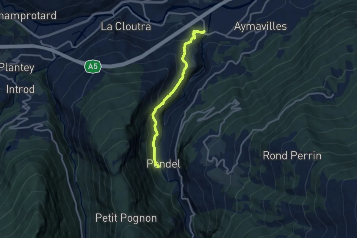
Medium · Trail
Moulin – Pondel
7.0 km · ↑ 574 m · 2 h 54 min · 10 km away
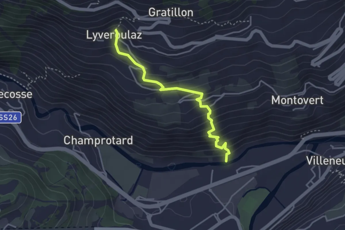
Medium · Trail
Trepont – Lyveroulaz (St-Nicolas)
3.3 km · ↑ 320 m · 1 h 28 min · 10 km away
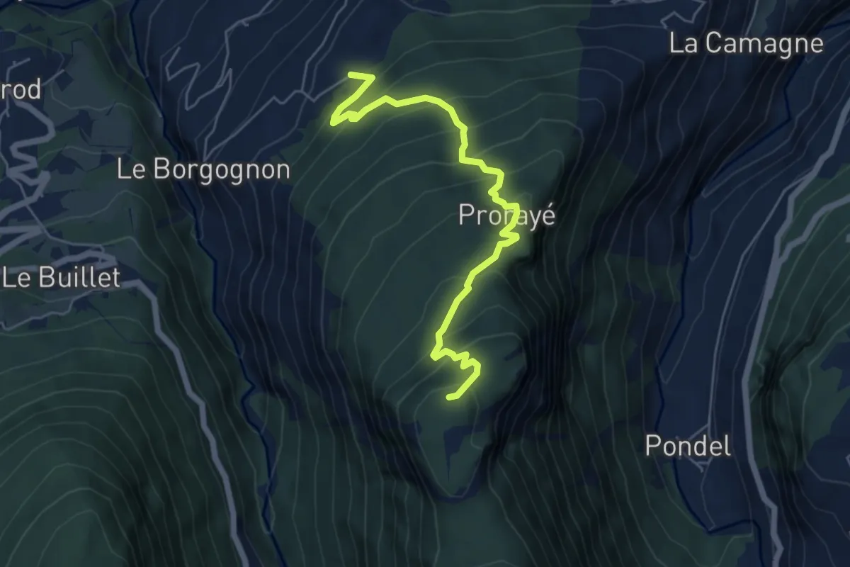
Medium · Summit
Champlong dessus – Petit-Poignon
5.8 km · ↑ 538 m · 2 h 31 min · 10 km away
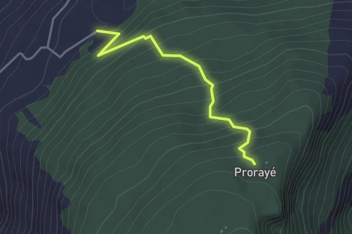
Medium · Trail
Champlong dessus – Prorayé
2.6 km · ↑ 321 m · 1 h 19 min · 10 km away
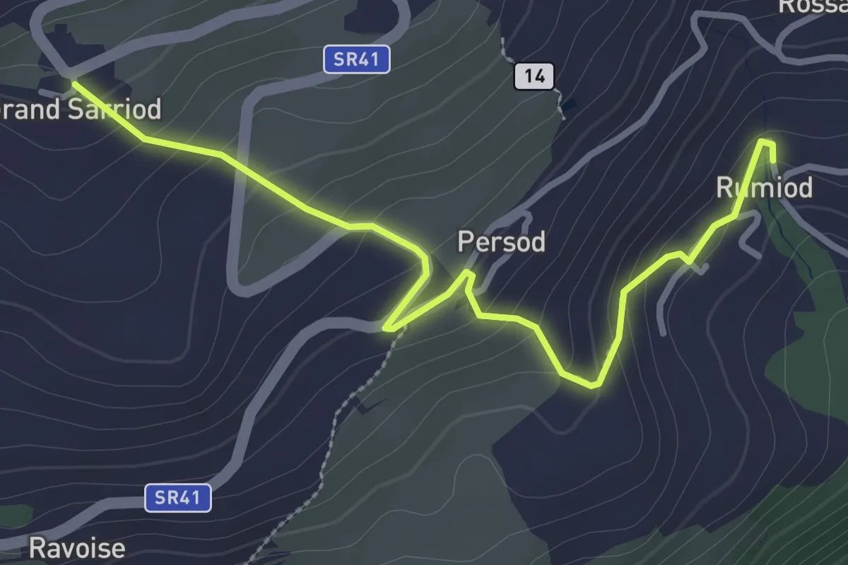
Easy · Trail
Remiod (Rumiod) – Grand Sarriod
3.2 km · ↑ 195 m · 1 h 11 min · 10 km away
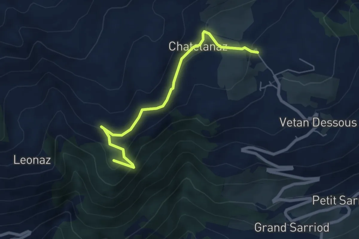
Medium · Summit
Vetan dessus - Leytanettaz (St-Nicolas)
4.9 km · ↑ 309 m · 1 h 50 min · 11 km away
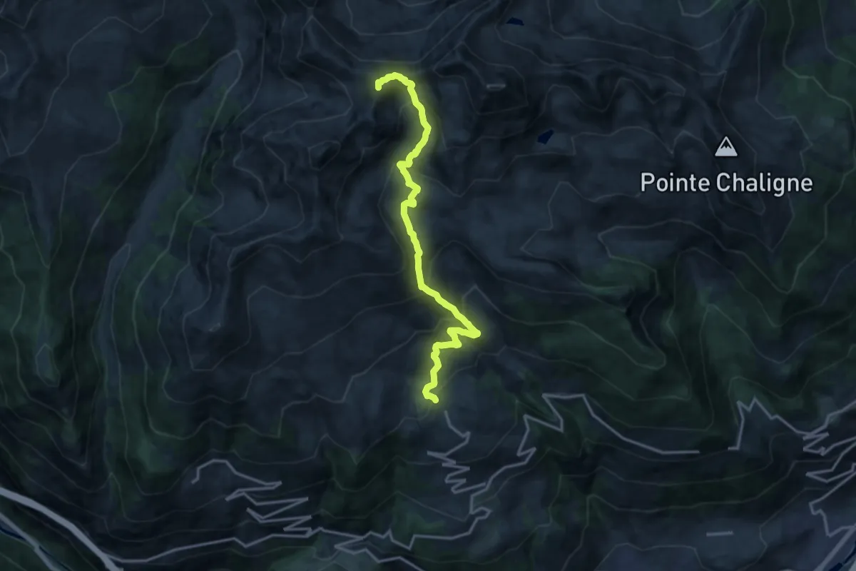
Demanding · Summit
Vetan – Monte di Vertosan
14.7 km · ↑ 1071 m · 5 h 47 min · 11 km away
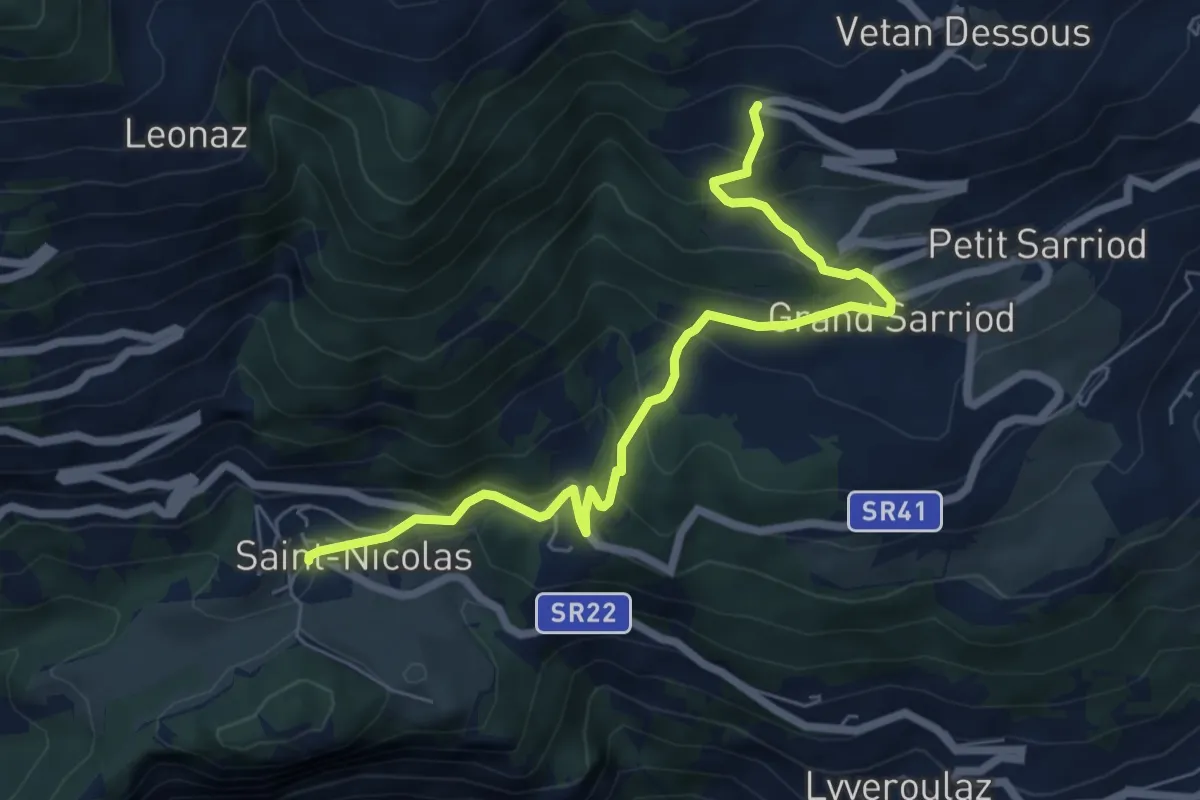
Medium · Trail
Fossaz – Gerbore
7.0 km · ↑ 489 m · 2 h 43 min · 11 km away
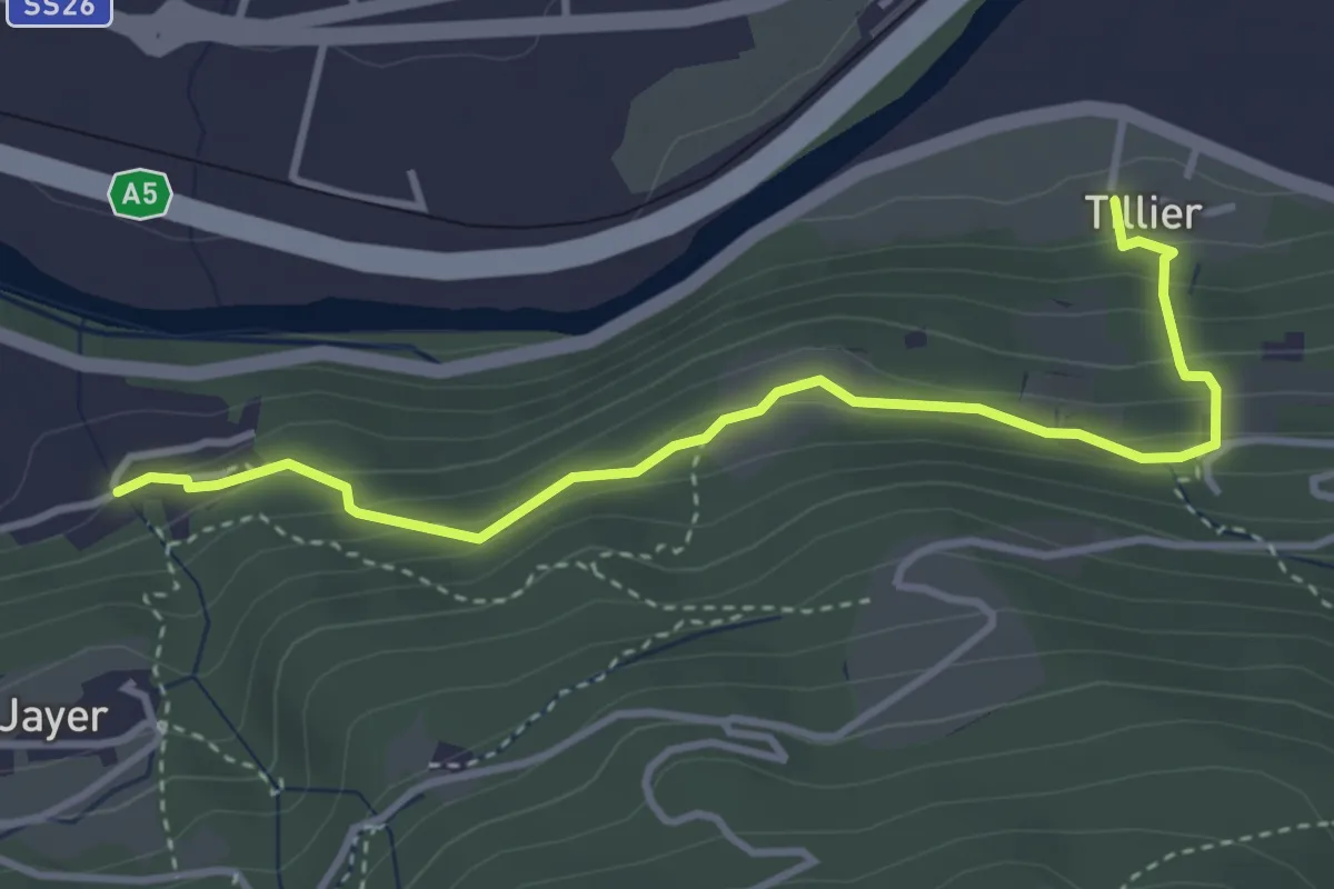
Medium · Trail
Tiller – Valmeanaz
3.9 km · ↑ 257 m · 1 h 29 min · 11 km away
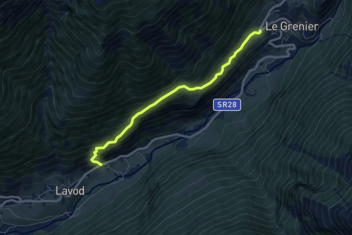
Medium · Trail
Oyace - Valpelline
6.1 km · ↑ 611 m · 2 h 46 min · 11 km away
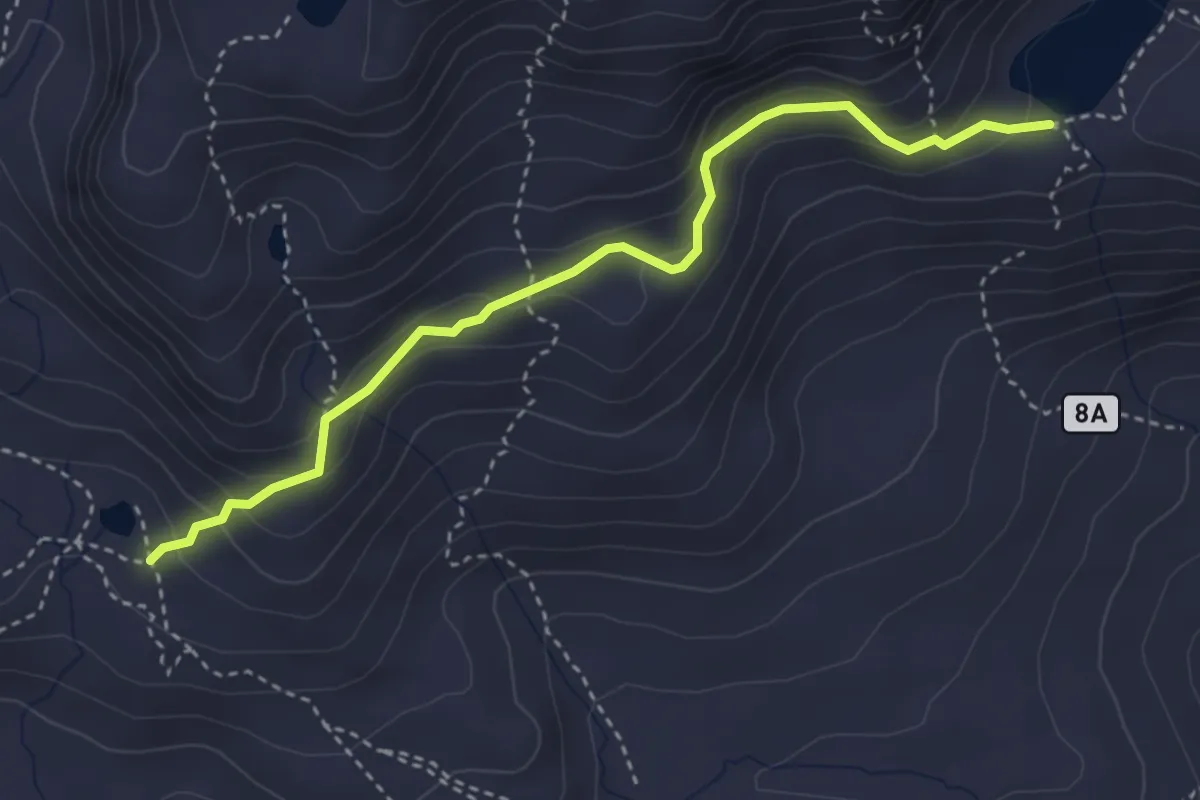
Medium · Trail
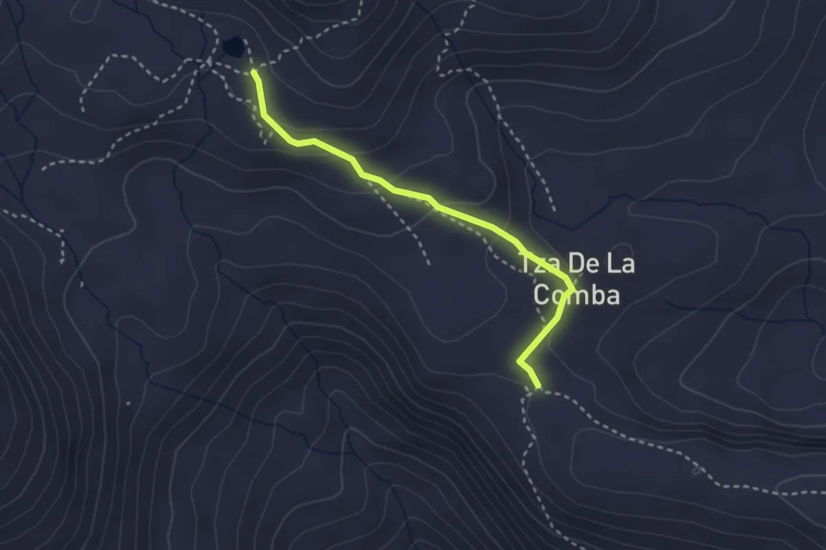
Lac de Grenouilles – Lago Fallère
3.7 km · ↑ 235 m · 1 h 24 min · 11 km away
Medium · Trail
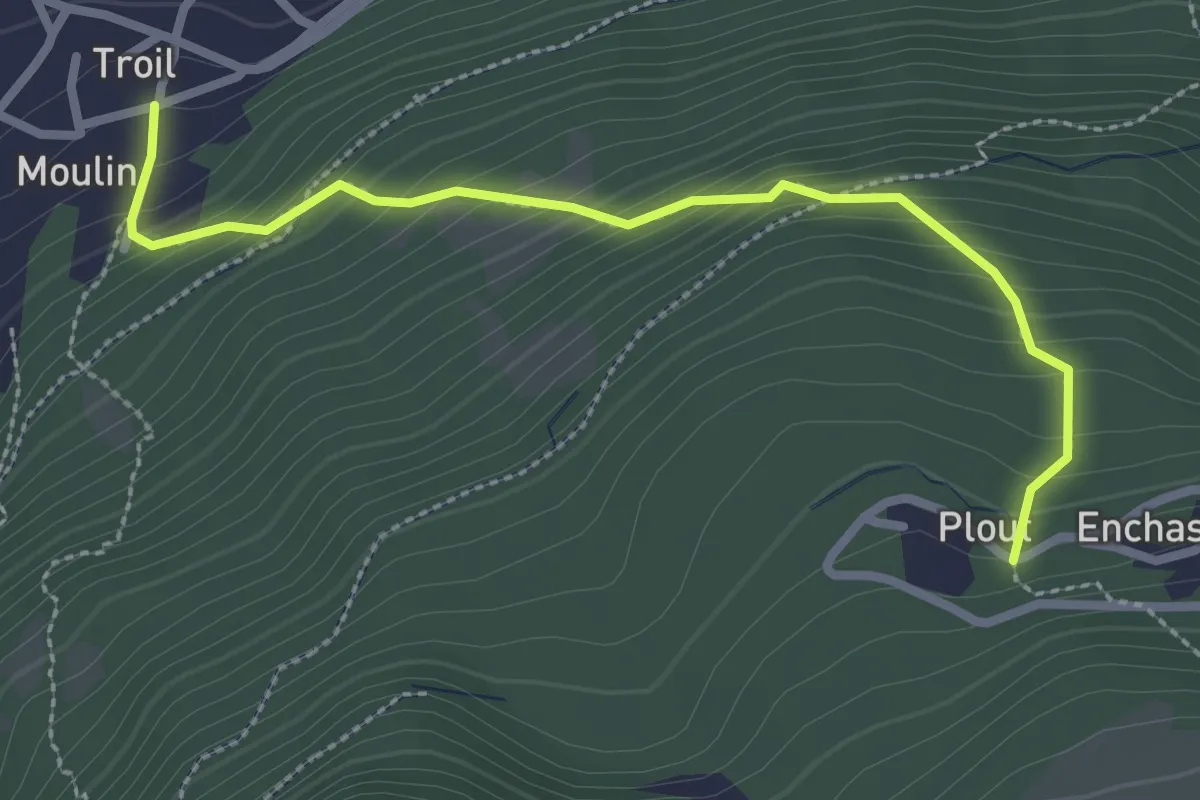
Verrogne – Lac de Grenouilles
2.7 km · ↑ 115 m · 54 min · 11 km away
Medium · Trail
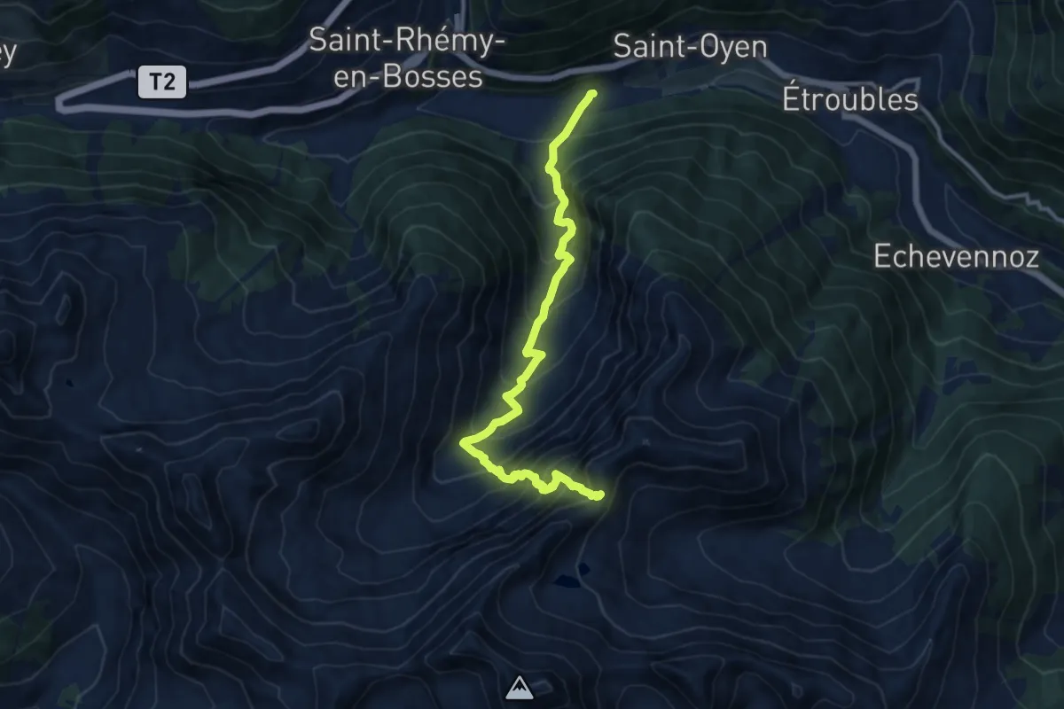
Moulin – Plout
2.8 km · ↑ 292 m · 1 h 18 min · 11 km away
Demanding · Trail
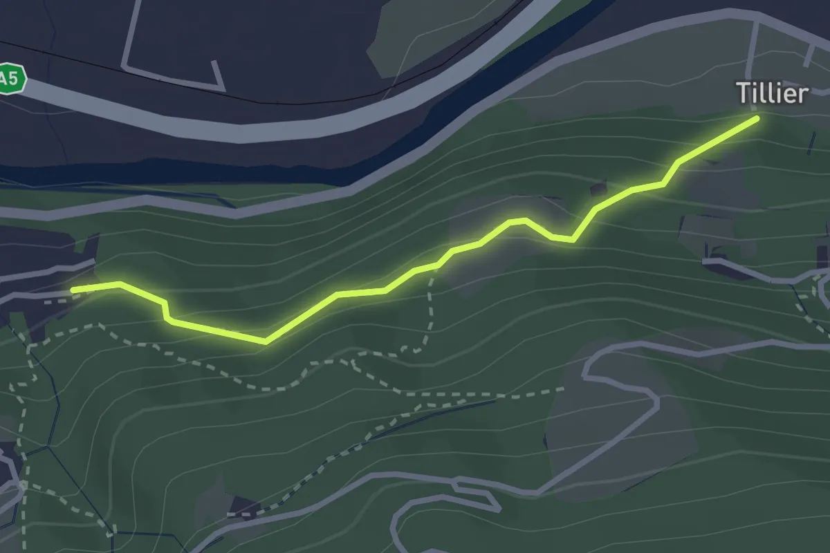
Prenoud – Col d'Ars
11.7 km · ↑ 1208 m · 5 h 22 min · 11 km away
Medium · Trail
Sentiero 11E - Tillier-Valmeanaz (basso) - E - 0,50 ore
2.6 km · ↑ 203 m · 1 h 4 min · 11 km away
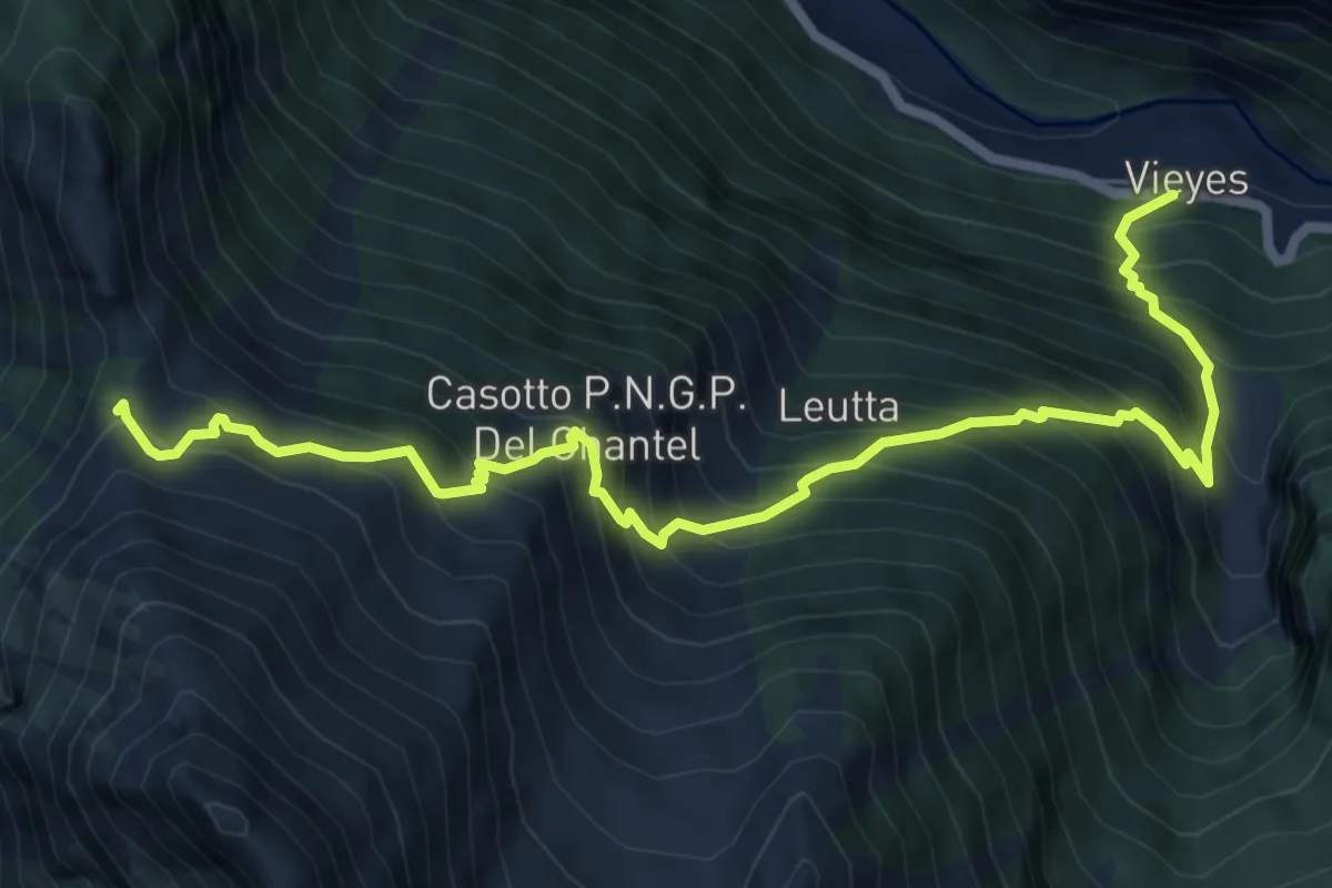
Demanding · Trail
Vieyes – Col de Becca Plana
8.3 km · ↑ 1193 m · 4 h 33 min · 11 km away
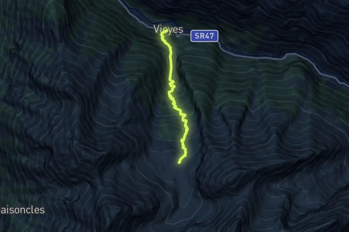
Demanding · Cabin
Vieyes – Bivacco Gontier
8.4 km · ↑ 1161 m · 4 h 30 min · 11 km away
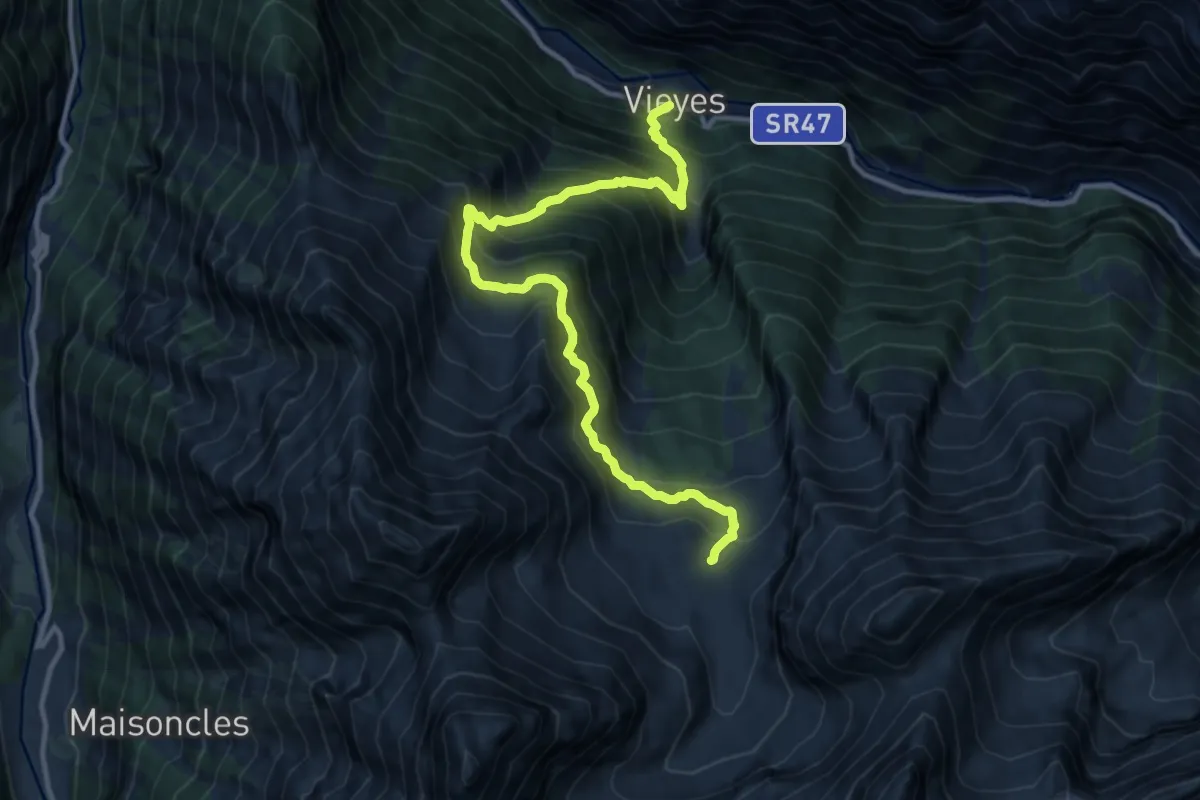
Demanding · Cabin
Vieyes – Bivacco Gontier
12.8 km · ↑ 1409 m · 6 h 4 min · 11 km away
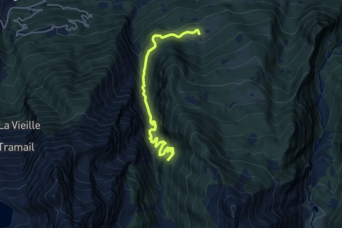
Demanding · Trail
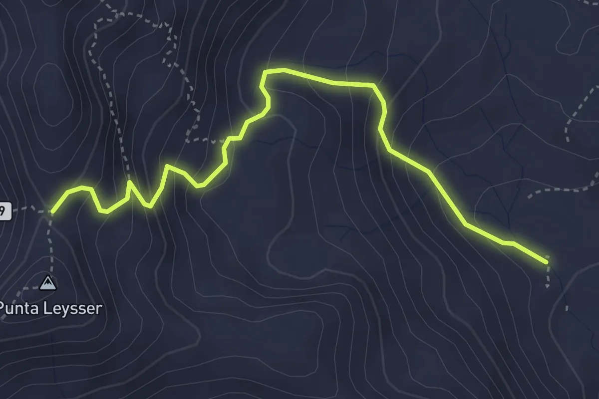
Seissogne – Innesto S12
12.1 km · ↑ 927 m · 4 h 52 min · 11 km away
Demanding · Trail
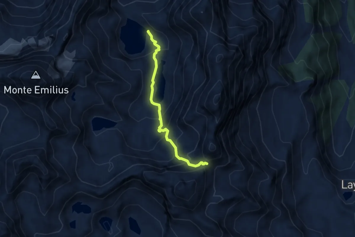
Percorso 13 – Col Palettaz
4.1 km · ↑ 373 m · 1 h 46 min · 11 km away
Demanding · Cabin
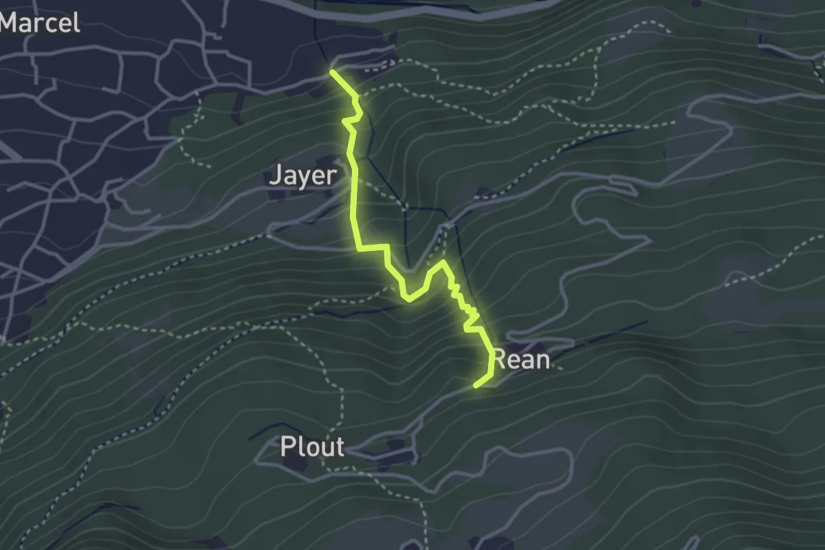
Bivacco Menabreaz – Col de Leppe
6.5 km · ↑ 566 m · 2 h 46 min · 11 km away
Medium · Trail
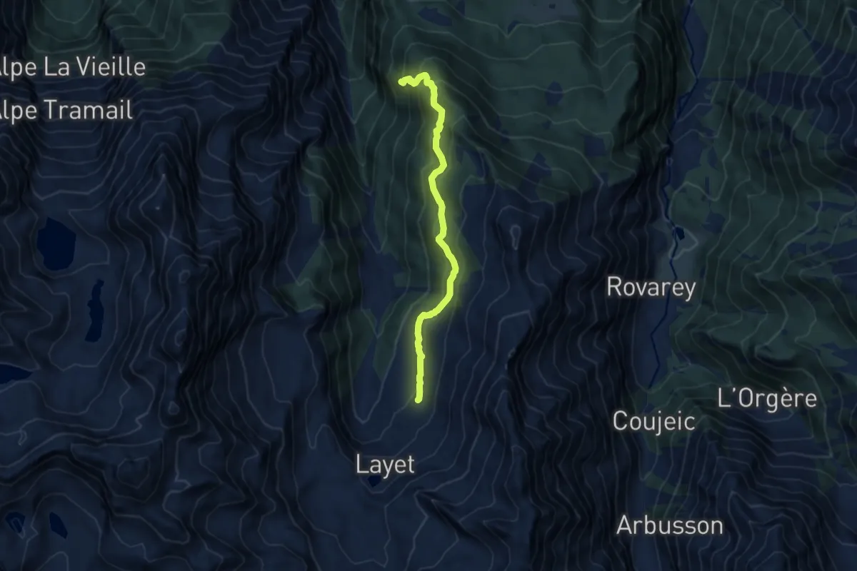
Valmeanaz – Rean
2.9 km · ↑ 398 m · 1 h 33 min · 11 km away
Medium · Trail
Miniere di Servette – Plan Rué
9.1 km · ↑ 622 m · 3 h 30 min · 11 km away
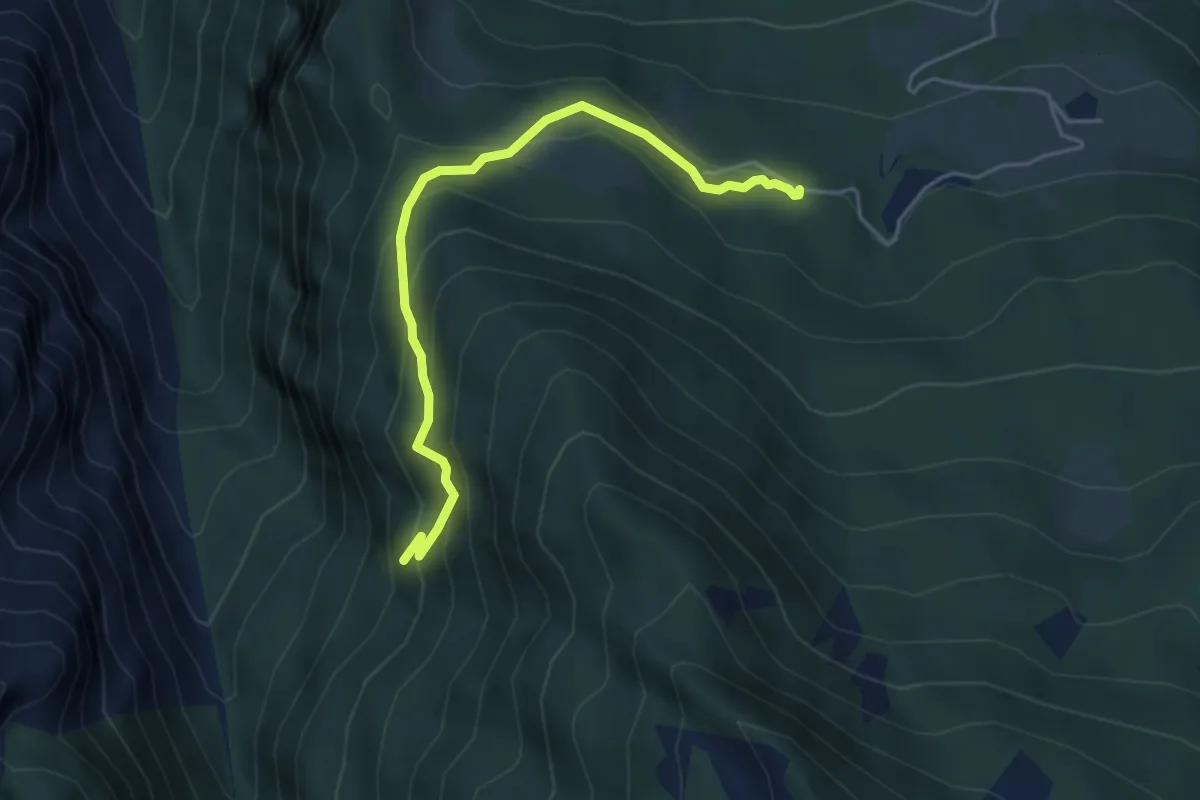
Medium · Trail
Les Druges – Miniere Servette
4.6 km · ↑ 380 m · 1 h 54 min · 11 km away
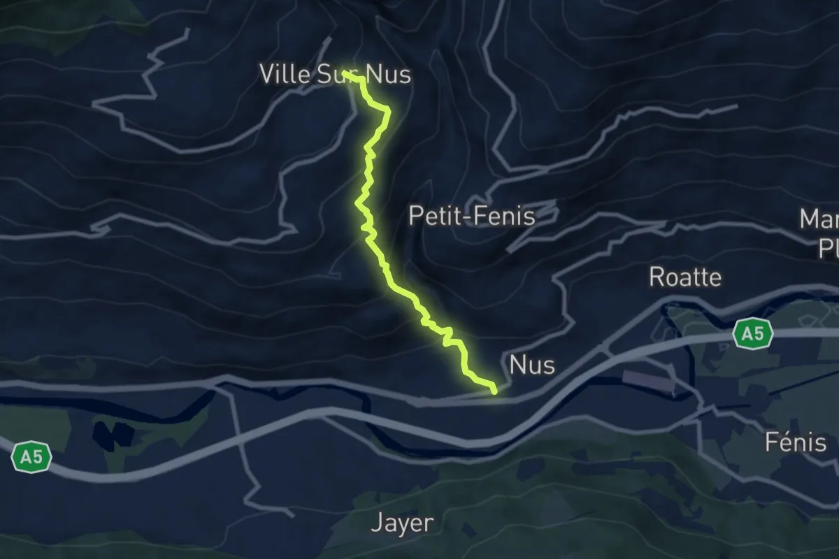
Medium · Trail
Nus – Fontaine
6.9 km · ↑ 585 m · 2 h 54 min · 11 km away
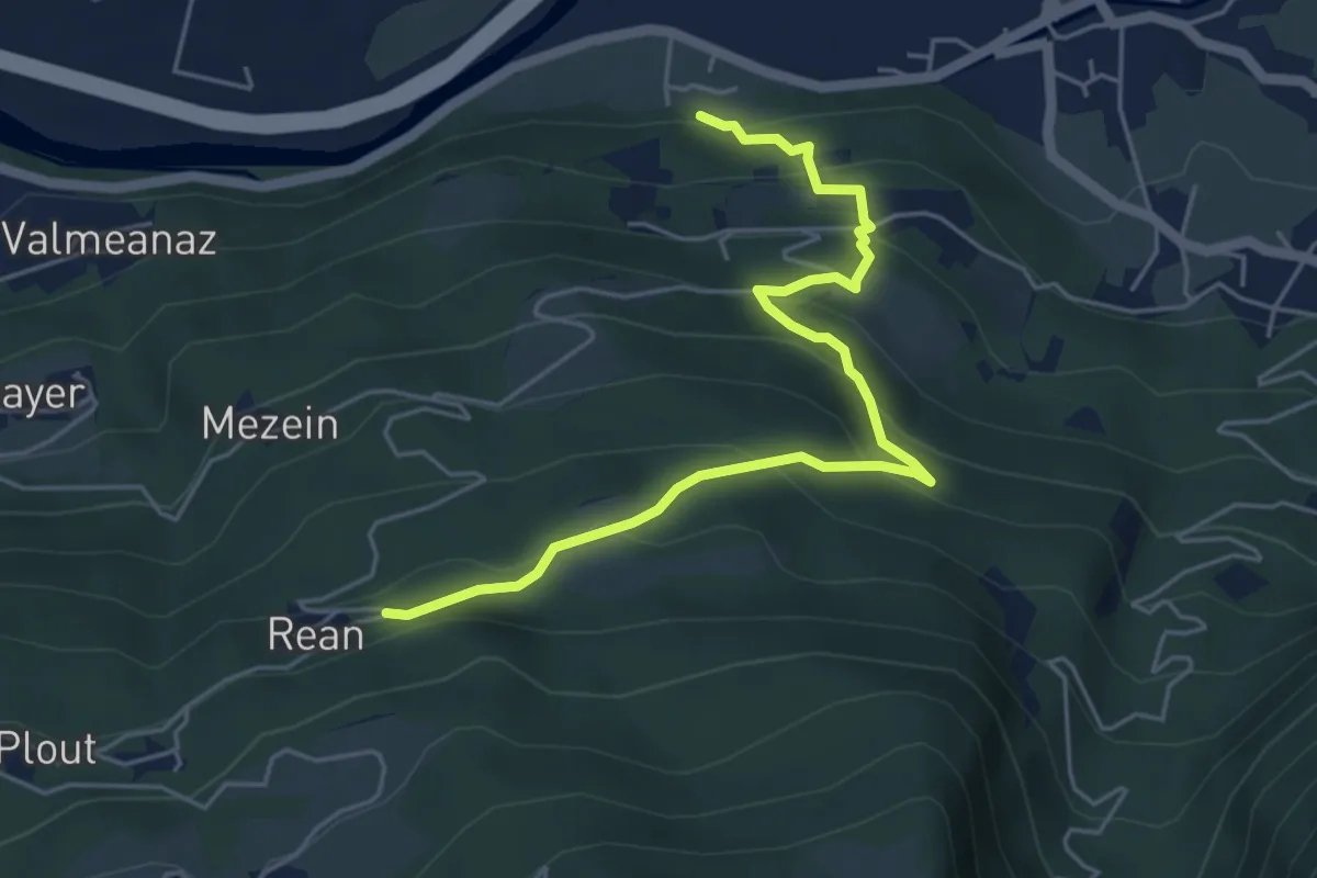
Medium · Trail
Sentiero 11 - Tillier-Réan - E
5.6 km · ↑ 398 m · 2 h 11 min · 11 km away
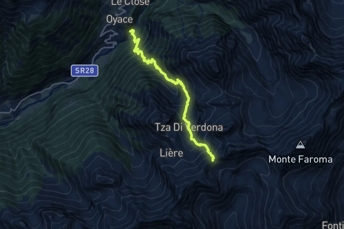
Demanding · Trail
Ponte Vernosse – Col de Saint-Barthélemy
12.9 km · ↑ 1367 m · 6 h 1 min · 11 km away
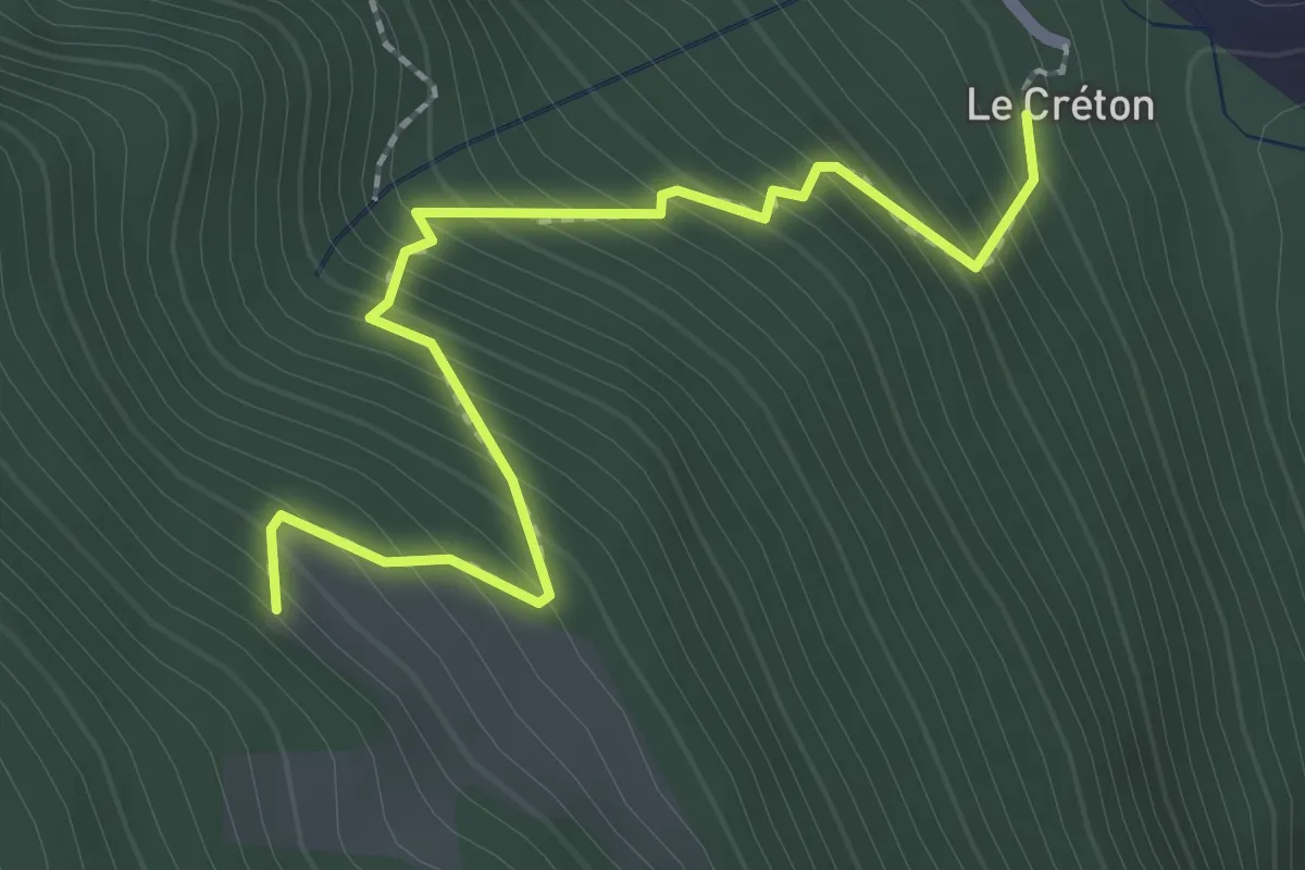
Easy · Trail
Créton – Arp du Bois
2.4 km · ↑ 299 m · 1 h 13 min · 11 km away
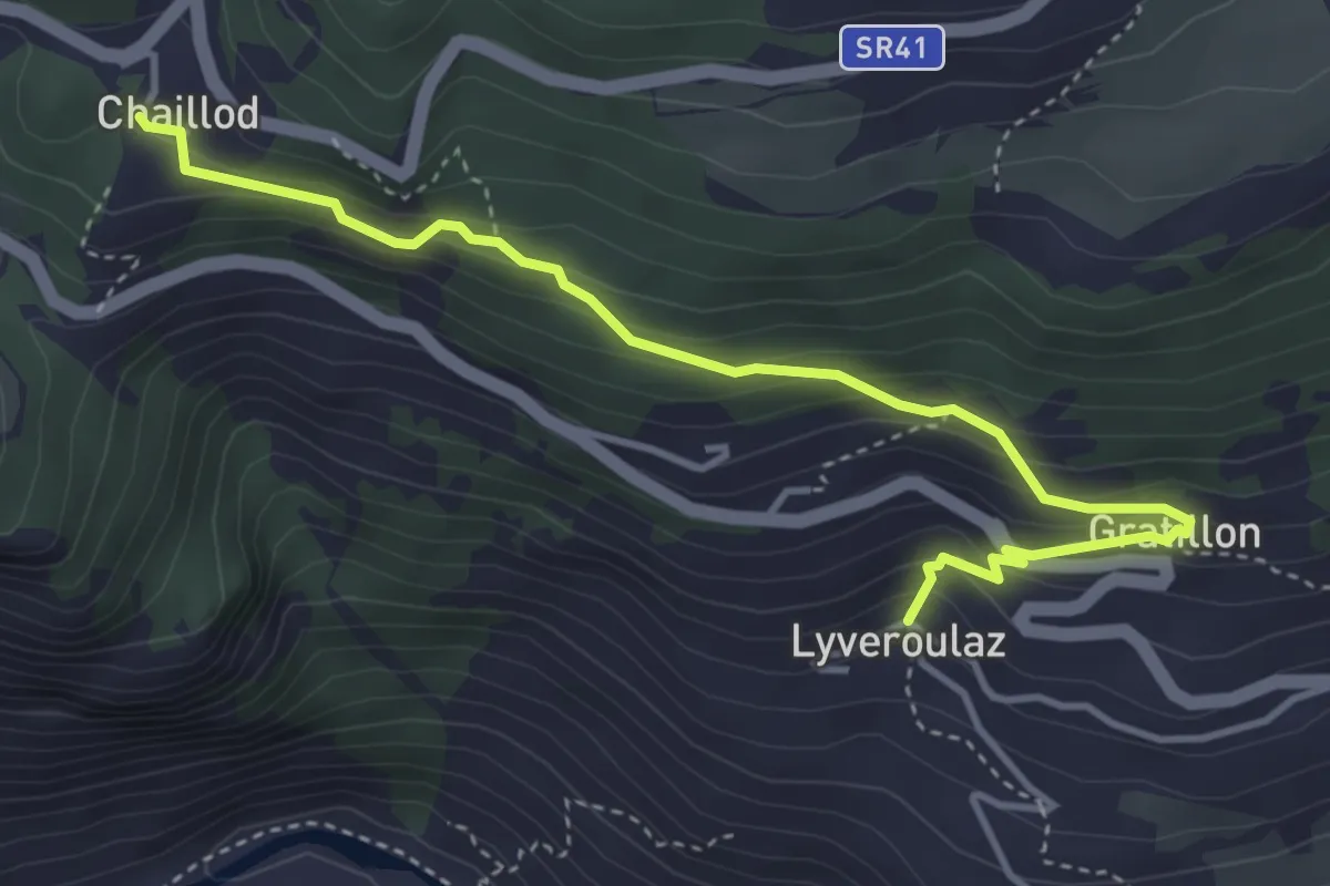
Easy · Trail
Liveroulaz – Chaillod
4.5 km · ↑ 293 m · 1 h 41 min · 11 km away
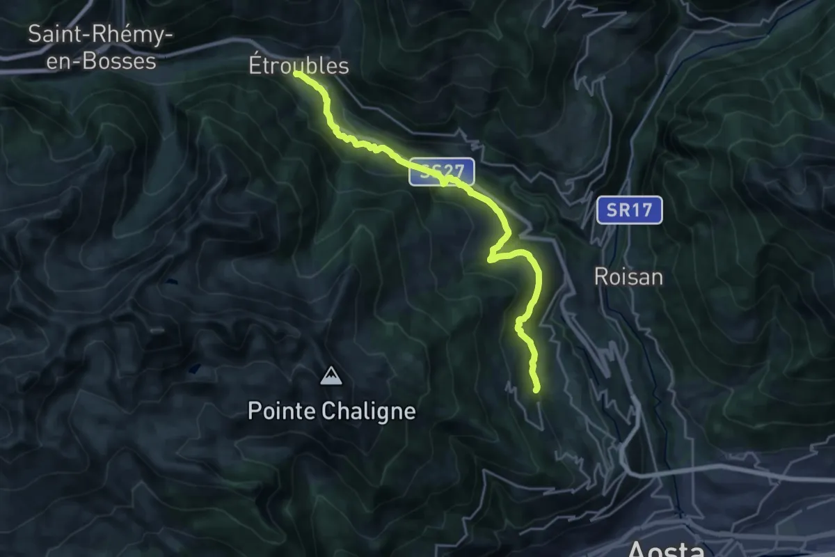
Demanding · Trail
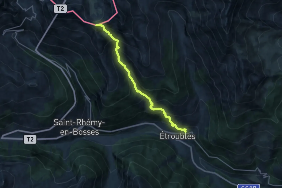
Reysod – Etroubles
20.5 km · ↑ 807 m · 6 h 36 min · 11 km away
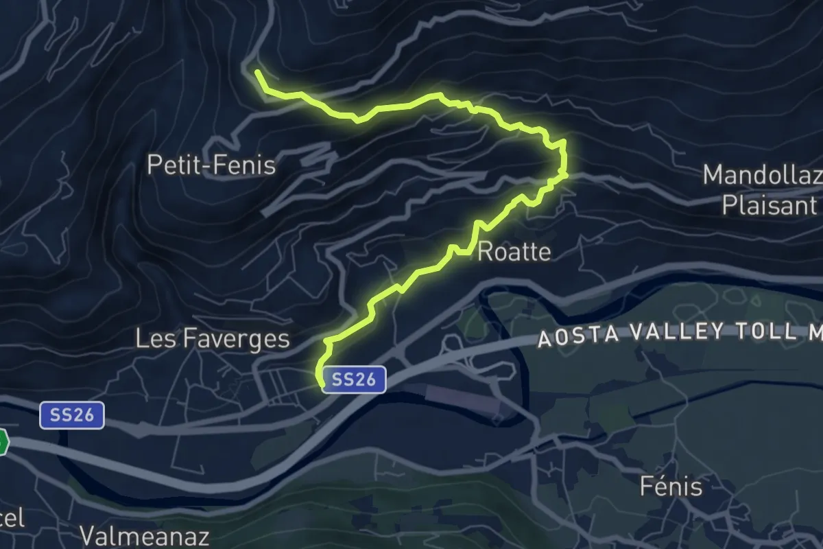
Medium · Trail
Nus – Blavy
8.3 km · ↑ 641 m · 3 h 21 min · 12 km away
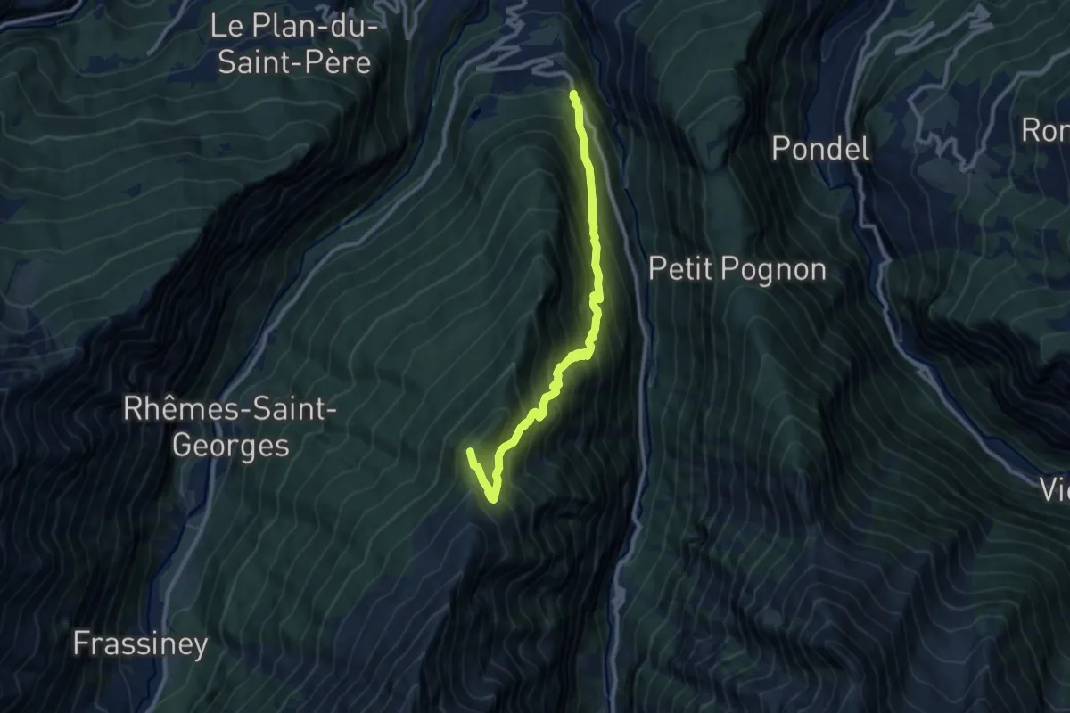
Expert · Summit
Vachery – Col Barasson Est
13.4 km · ↑ 1355 m · 6 h 5 min · 12 km away
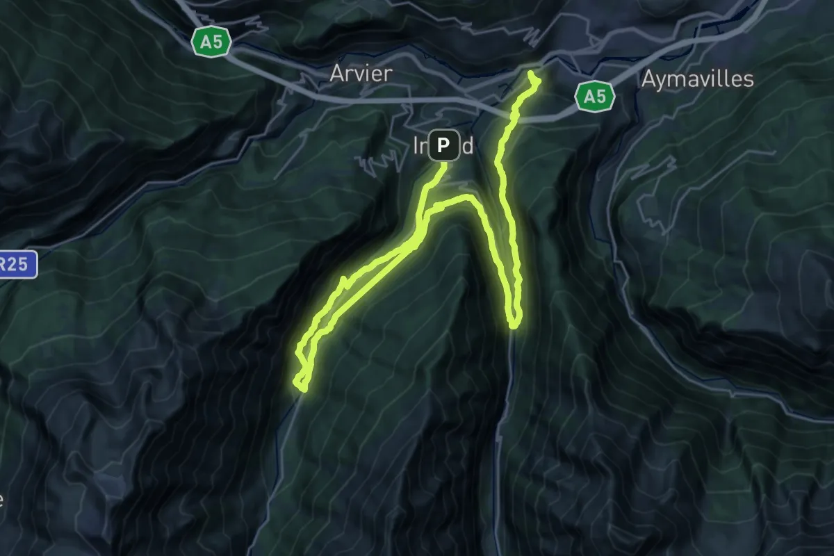
Demanding · Summit
Strada regionale 24 – Col du Mont Blanc
10.1 km · ↑ 1146 m · 4 h 52 min · 12 km away
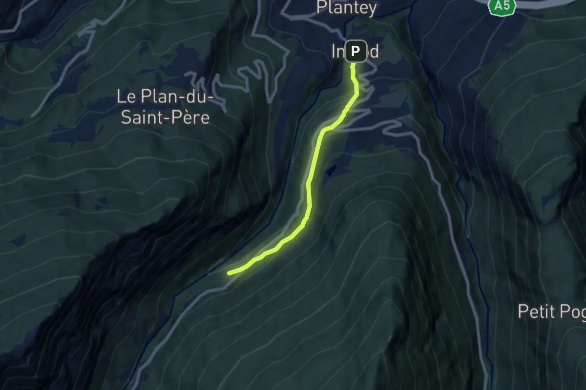
Demanding · Trail
Cammino Balteo (Bassa Via della Valle d'Aosta), Tappa 16
20.0 km · ↑ 821 m · 6 h 53 min · 12 km away
Easy · Trail
Plan d'Introd – Tache
5.6 km · ↑ 291 m · 1 h 57 min · 12 km away
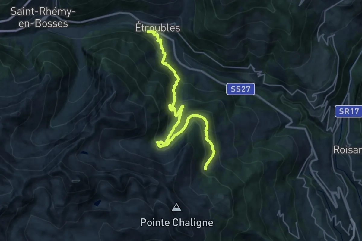
Demanding · Cabin
Tour du Mont Fallère - Première étape - 3h30/4h / Tour du Mont Fallère - Prima tappa - 3h30/4h
10.4 km · ↑ 1058 m · 4 h 34 min · 12 km away
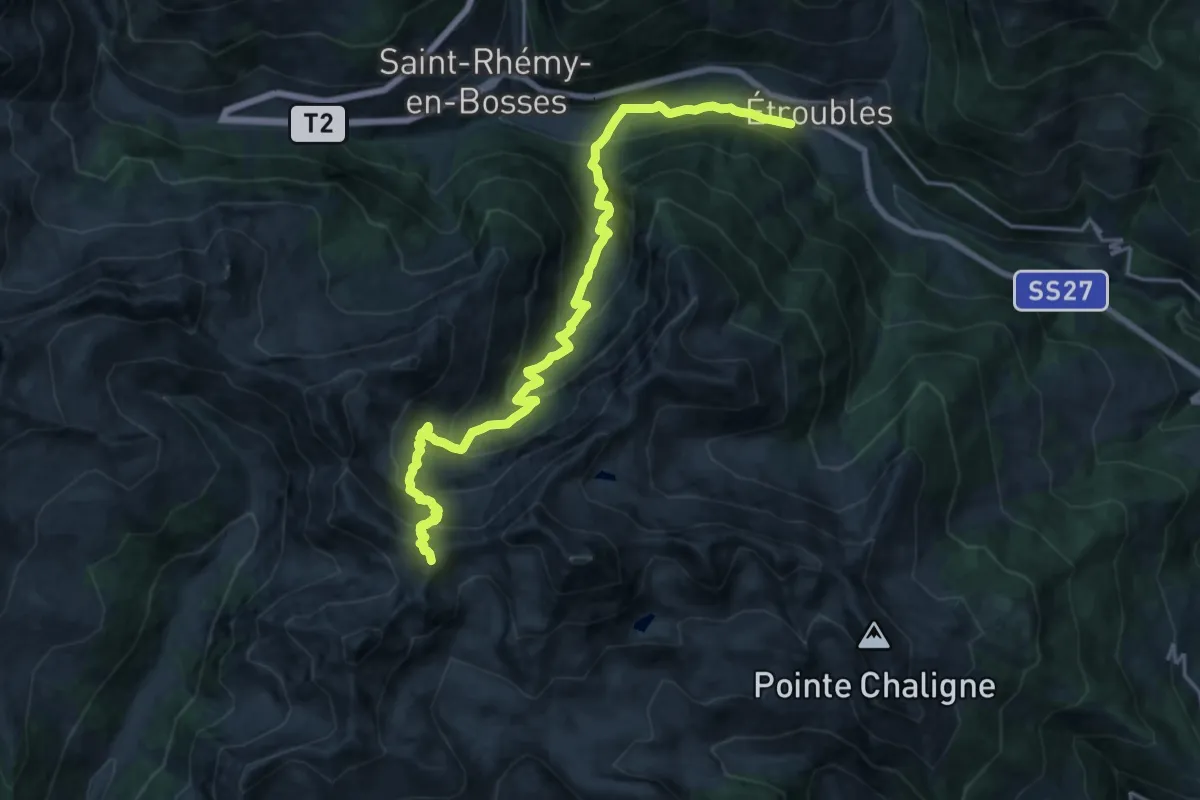
Demanding · Summit
Tour du Mont Fallère - Étape trois - 4h/5h30 / Tour du Mont Fallère - Terza tappa - 4h/5h30
21.4 km · ↑ 1528 m · 8 h 21 min · 12 km away
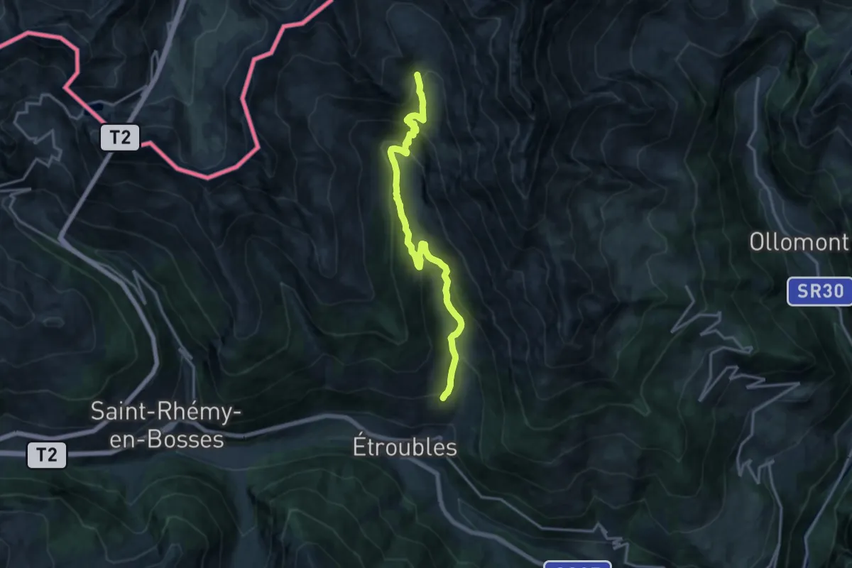
Demanding · Trail
Prailles – Bivacco Molline
14.7 km · ↑ 906 m · 5 h 27 min · 12 km away
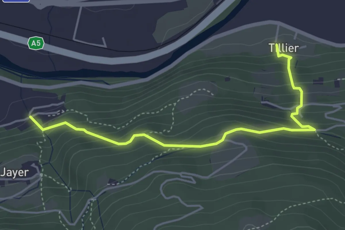
Medium · Trail
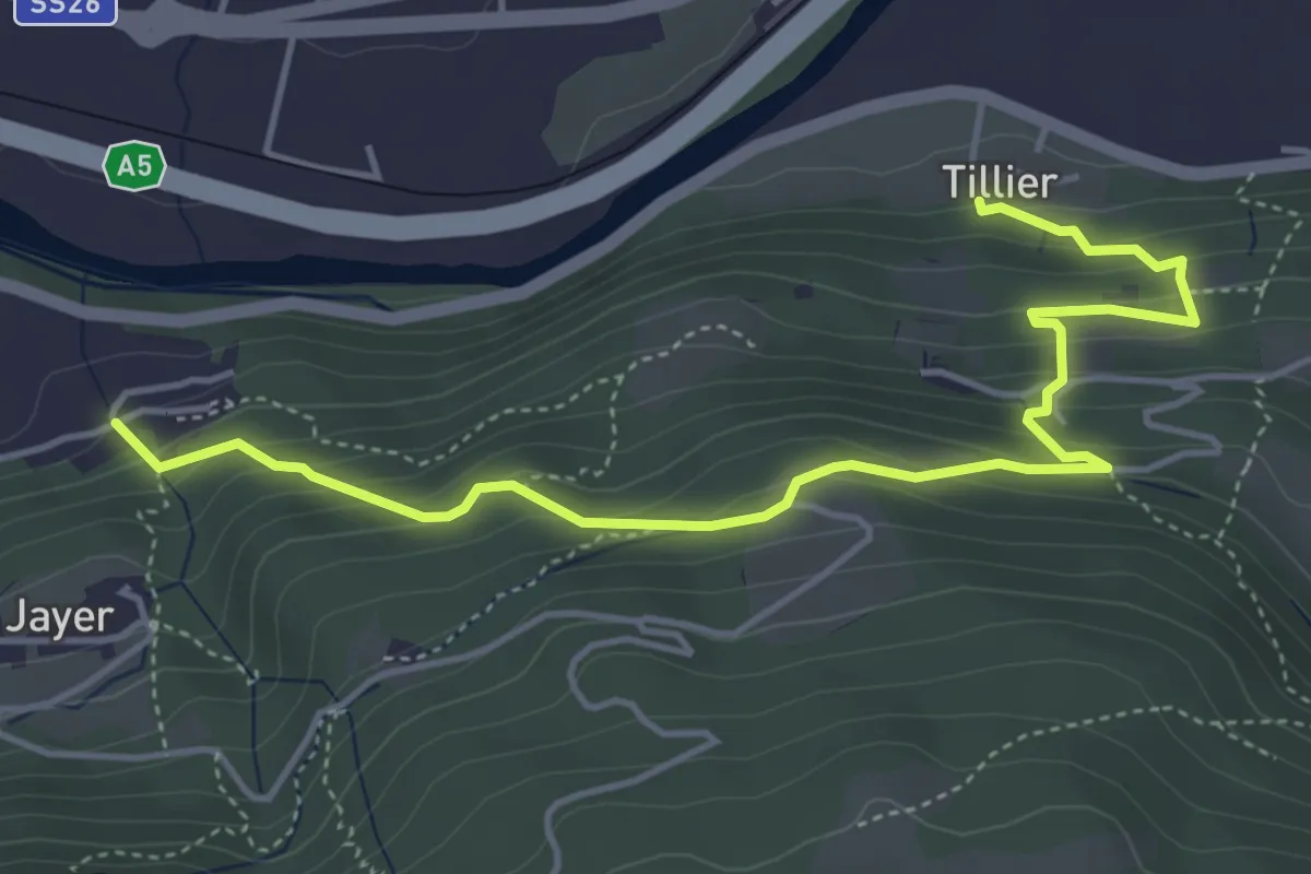
Tiller – Valmianaz
4.5 km · ↑ 408 m · 1 h 57 min · 12 km away
Medium · Trail
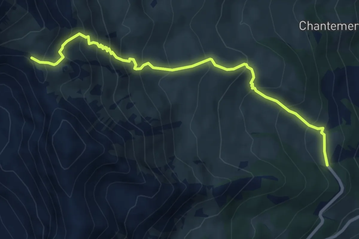
Sentiero 11D - Tillier-Valmeanaz (alto) - E - 1,13 ore
5.3 km · ↑ 405 m · 2 h 8 min · 12 km away
Medium · Trail
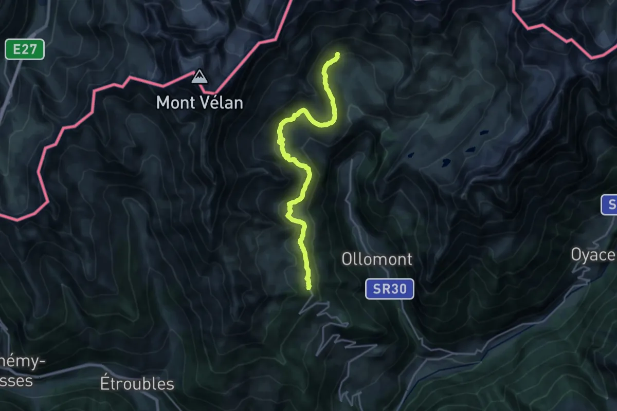
Laghetto Champillon – Col Champillon
6.6 km · ↑ 621 m · 2 h 54 min · 12 km away
Demanding · Trail
Ru de By
18.7 km · ↑ 772 m · 6 h 6 min · 12 km away
Medium · Trail
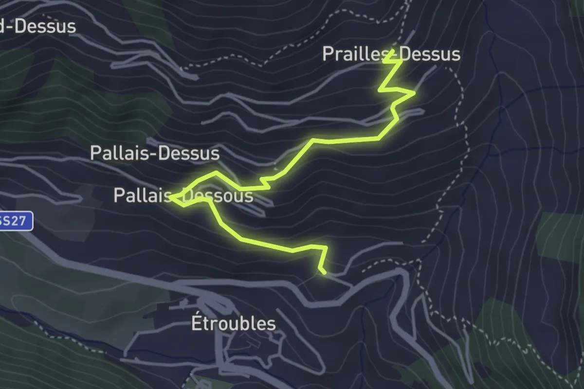
Etroubles – Prailles
4.2 km · ↑ 320 m · 1 h 41 min · 12 km away