Trails near Aosta - Aoste
261 hikes starting within 15 km, nearest first.
Nearest first, page 4 of 6
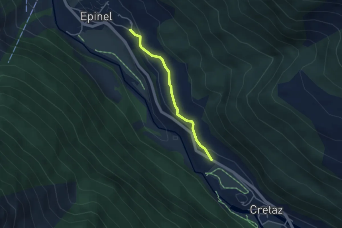
Easy · Trail
Percorso 23 – Strada Regionale per Cogne
2.7 km · ↑ 106 m · 53 min · 12 km away
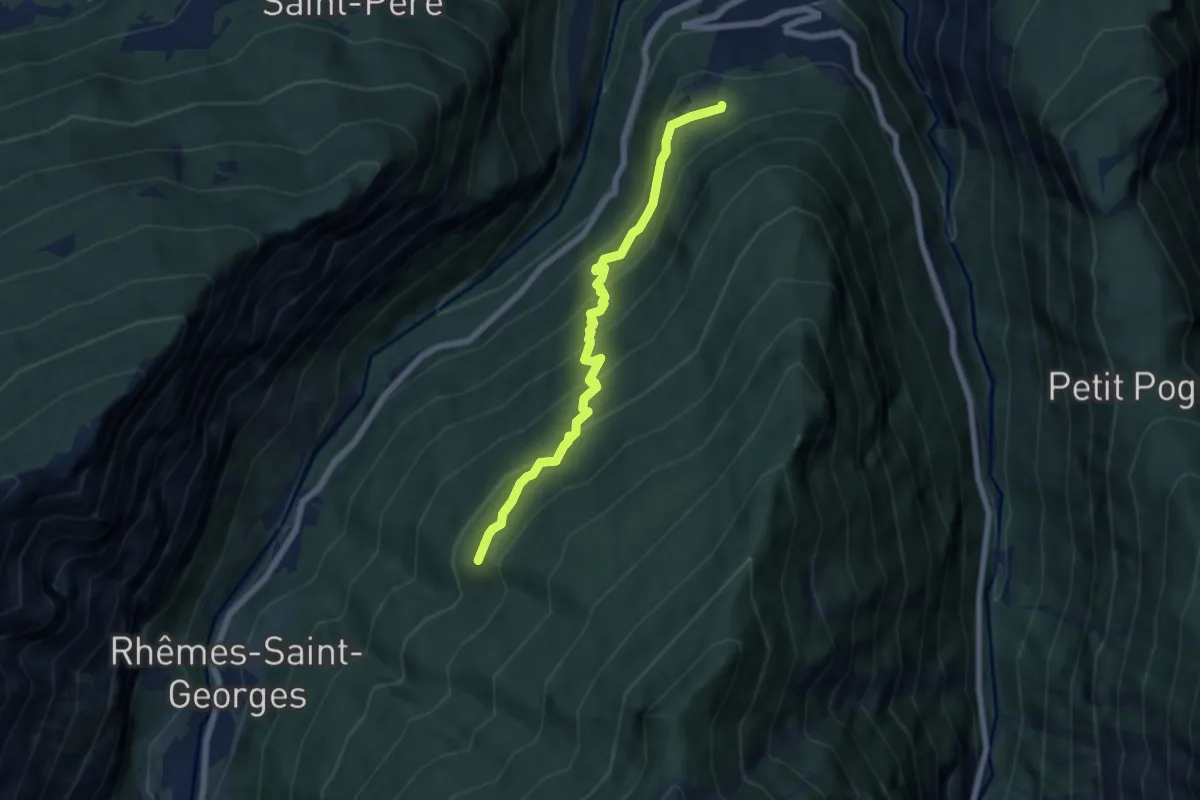
Medium · Trail
Sorressamont – Percorso 3
6.4 km · ↑ 497 m · 2 h 35 min · 12 km away
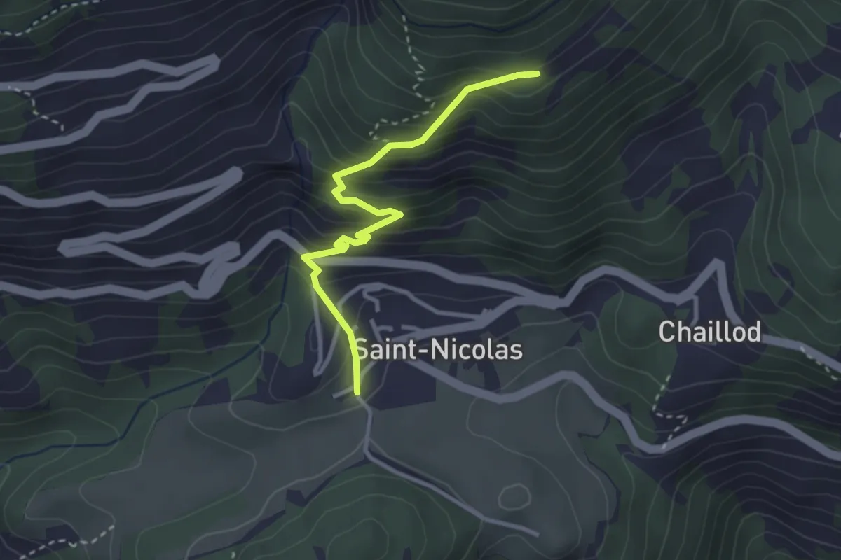
Medium · Trail
Fossaz – Fournaise
3.0 km · ↑ 311 m · 1 h 22 min · 12 km away
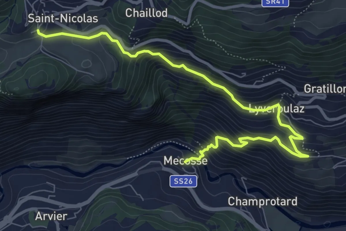
Medium · Trail
Mecosse – Fossaz
8.2 km · ↑ 549 m · 3 h 8 min · 12 km away
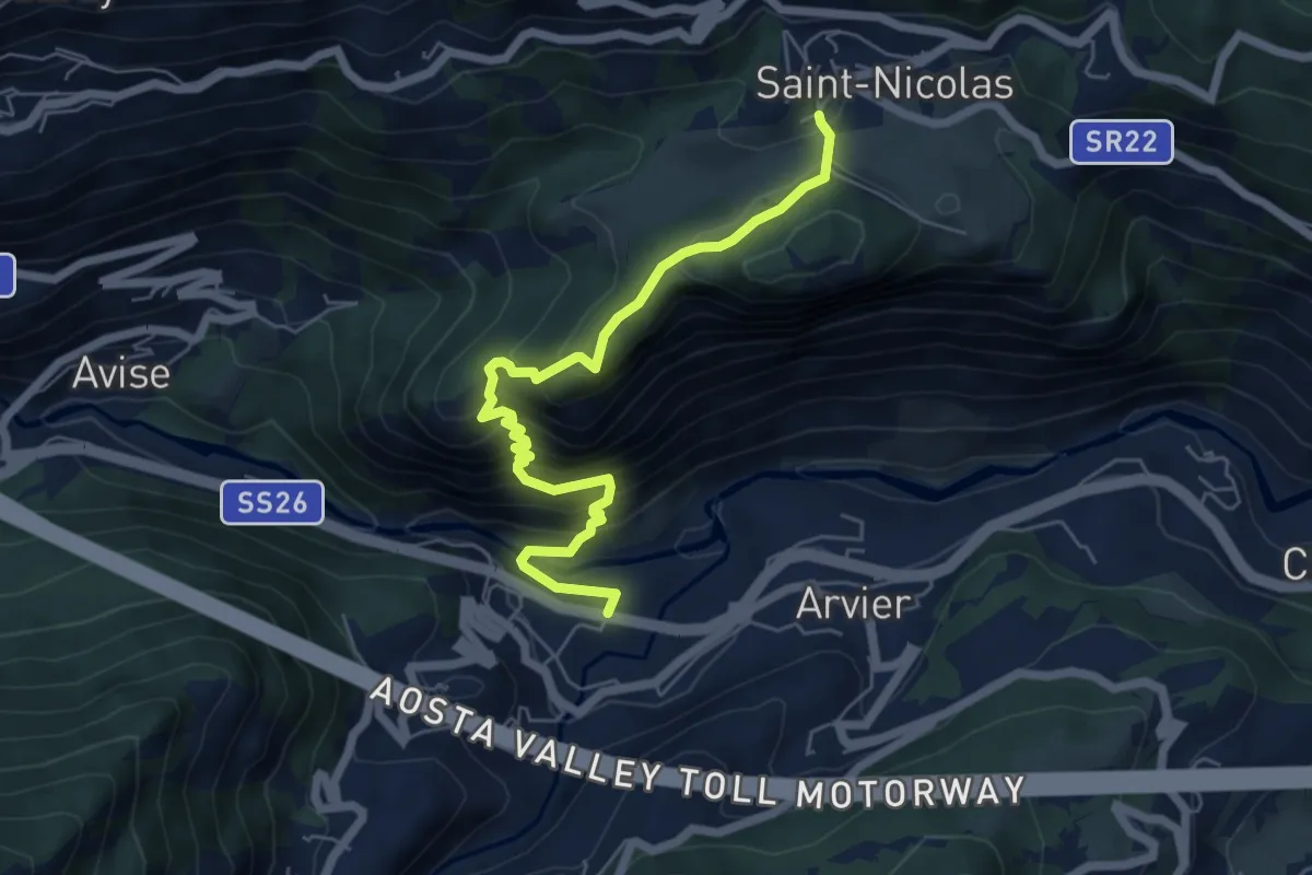
Medium · Trail
Leverogne - Relais de la television - Saint-Nicolas
6.3 km · ↑ 541 m · 2 h 40 min · 12 km away
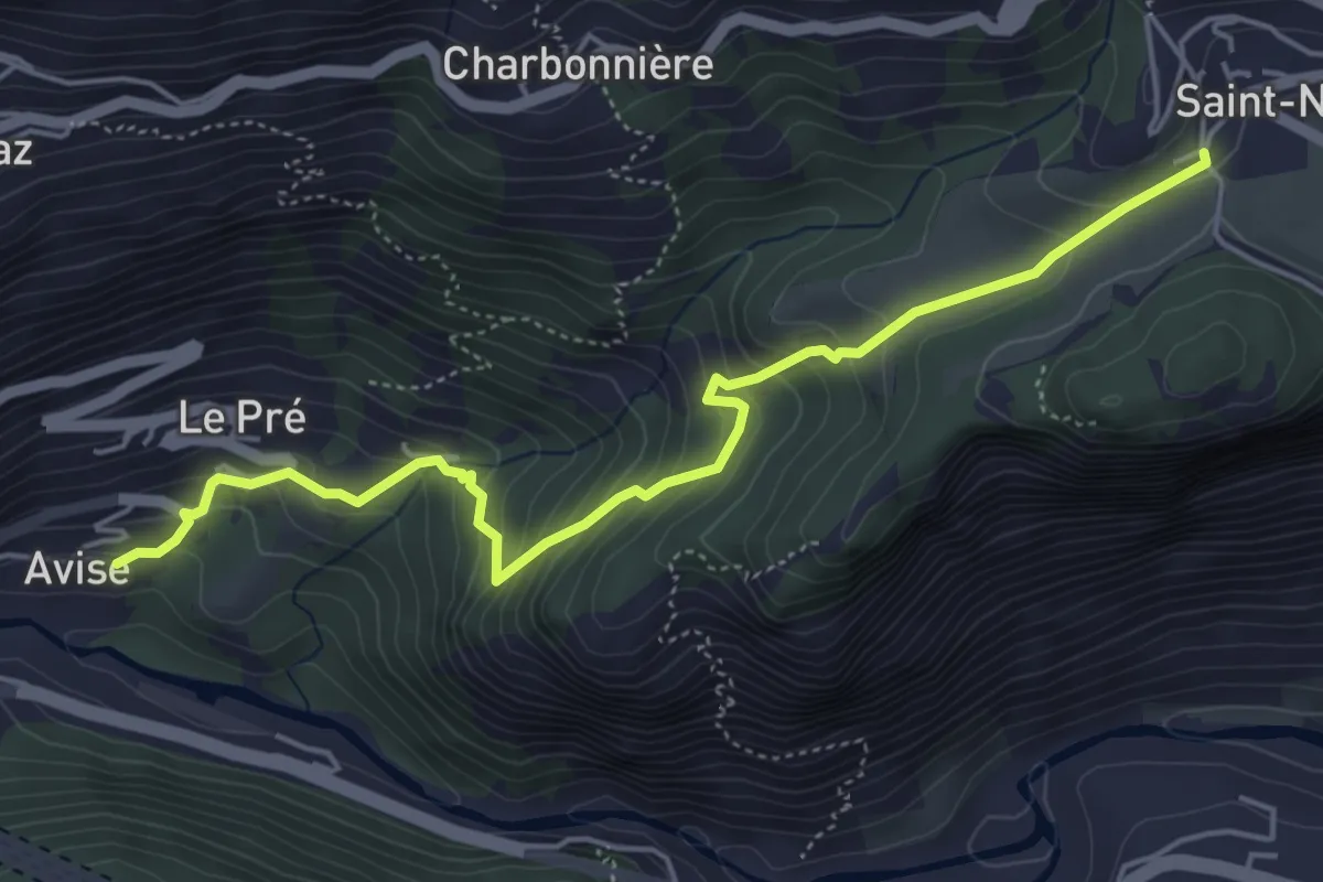
Medium · Trail
Avise - Saint-Nicolas
5.4 km · ↑ 470 m · 2 h 18 min · 12 km away
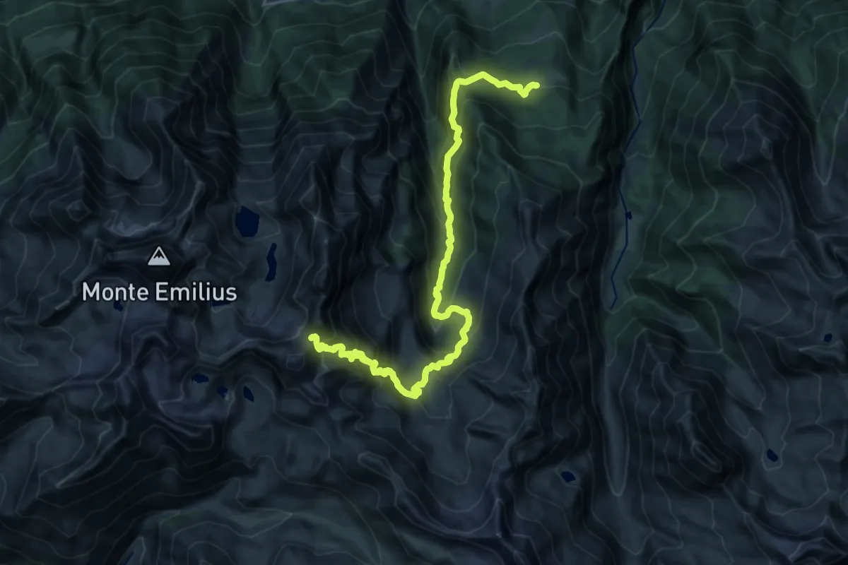
Demanding · Trail
Druges – Col de Leppe
13.2 km · ↑ 1638 m · 6 h 6 min · 12 km away
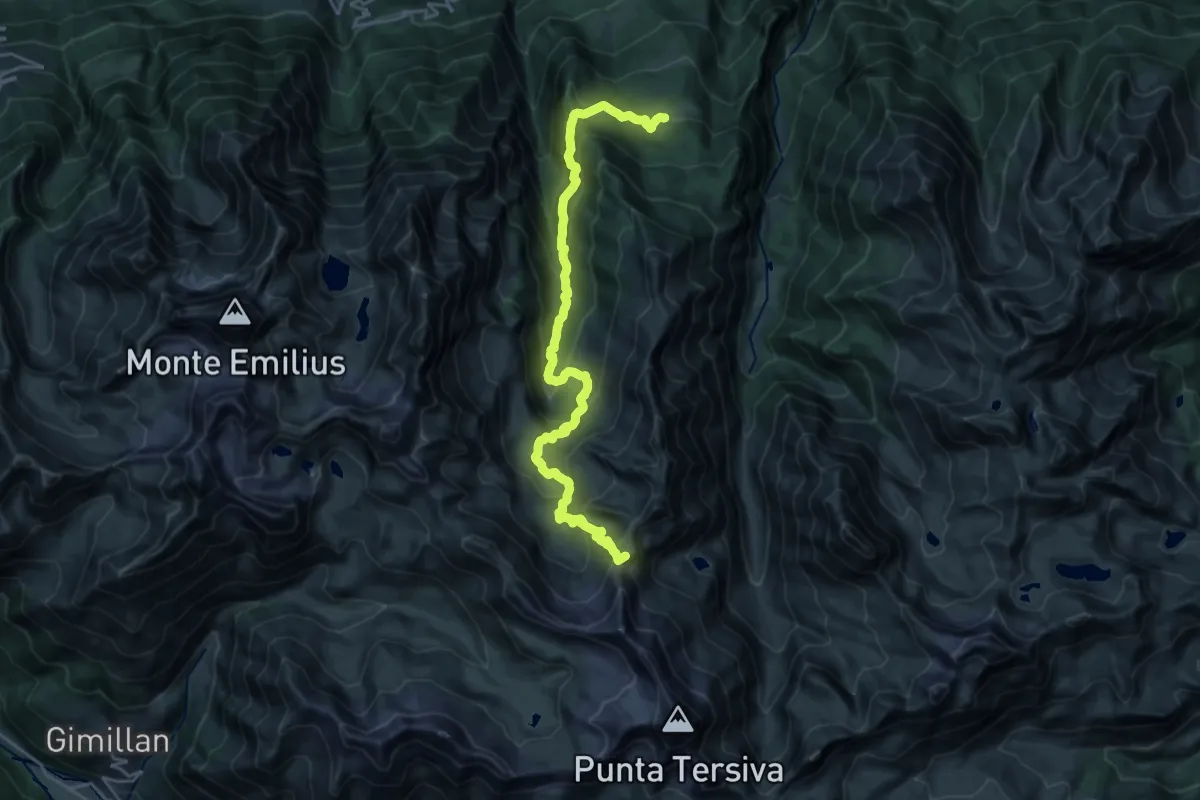
Demanding · Summit
Druges – Col Lavodilec
25.1 km · ↑ 1485 m · 9 h 9 min · 12 km away
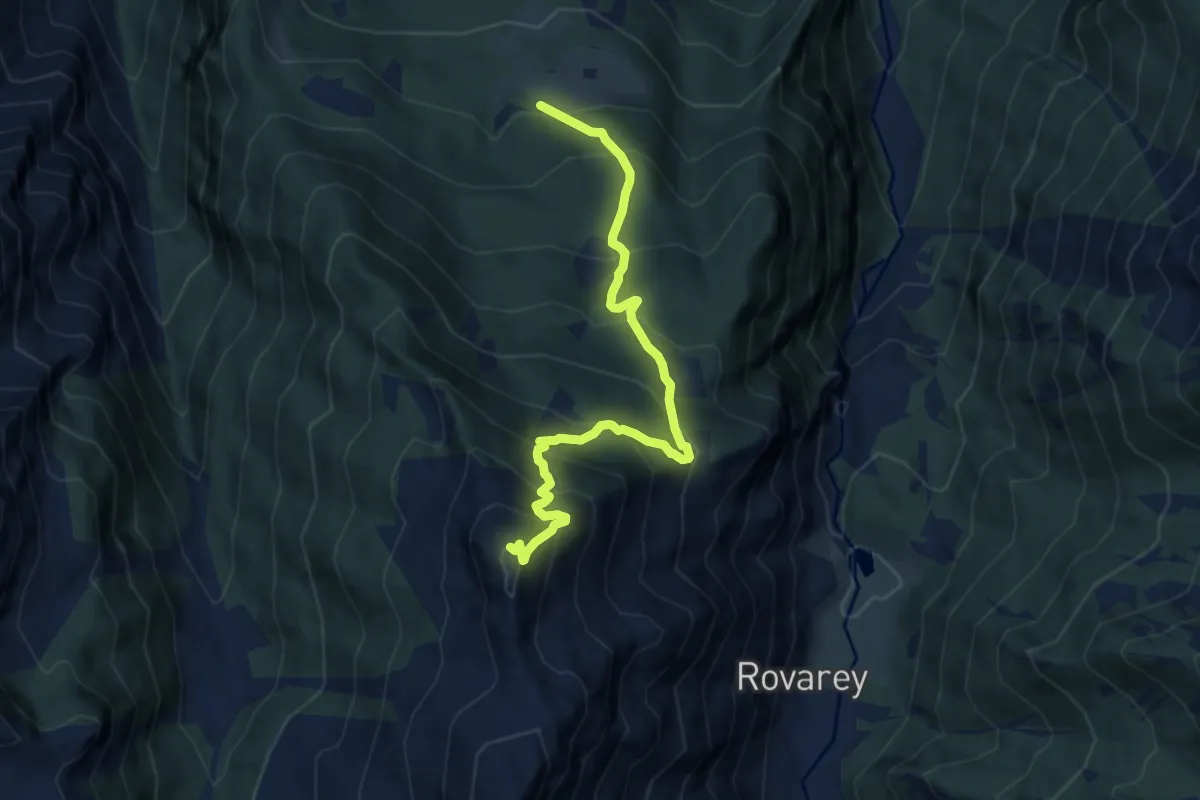
Demanding · Summit
Les Druges – Mont Corquet
8.9 km · ↑ 924 m · 4 h 6 min · 12 km away
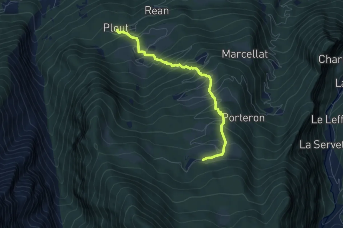
Medium · Trail
Plout – Druges
6.6 km · ↑ 625 m · 2 h 54 min · 12 km away
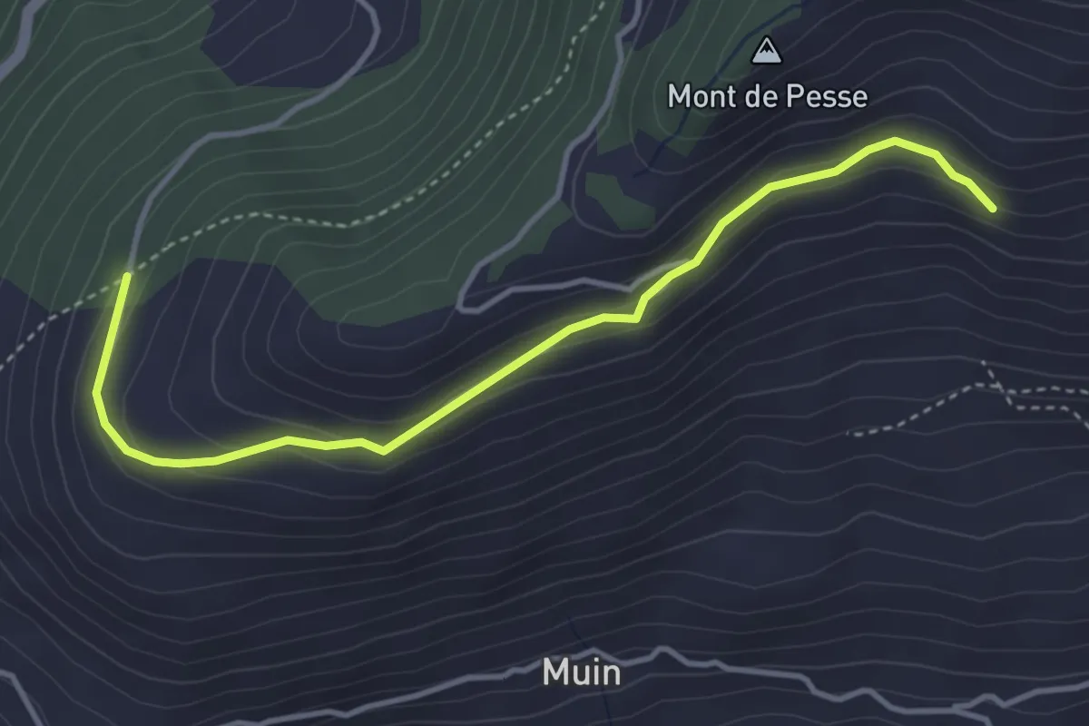
Easy · Trail
Blavy – Grandzette
4.1 km · ↑ 186 m · 1 h 22 min · 12 km away
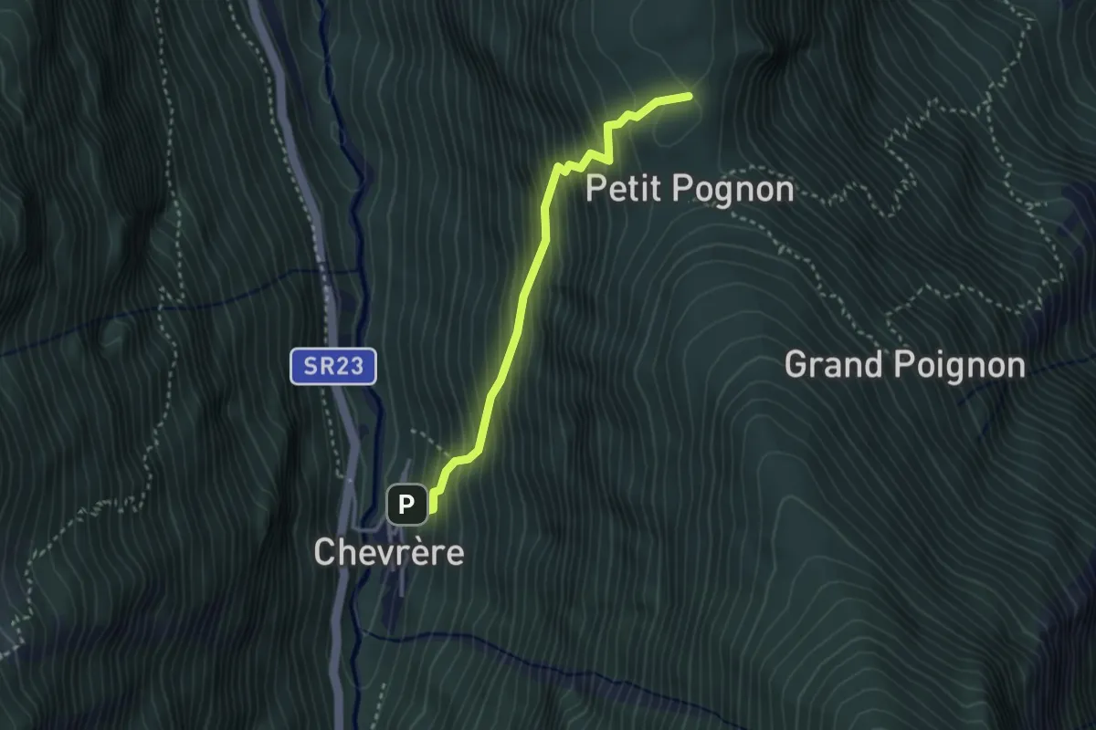
Medium · Trail
Chevrère – Poignon (confine comunale Villeneuve)
2.9 km · ↑ 432 m · 1 h 37 min · 12 km away
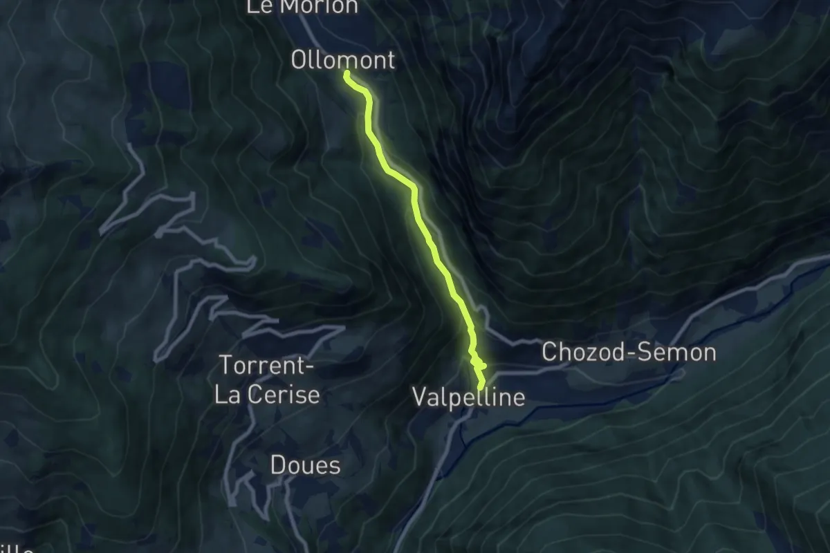
Medium · Trail
Valpelline capoluogo – Ollomont
6.4 km · ↑ 397 m · 2 h 22 min · 12 km away
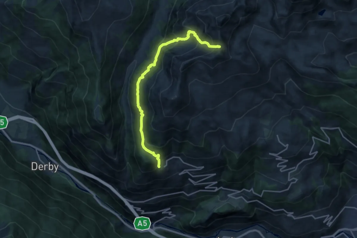
Demanding · Trail
Vens – Colle Paletta
14.5 km · ↑ 1213 m · 6 h 4 min · 12 km away
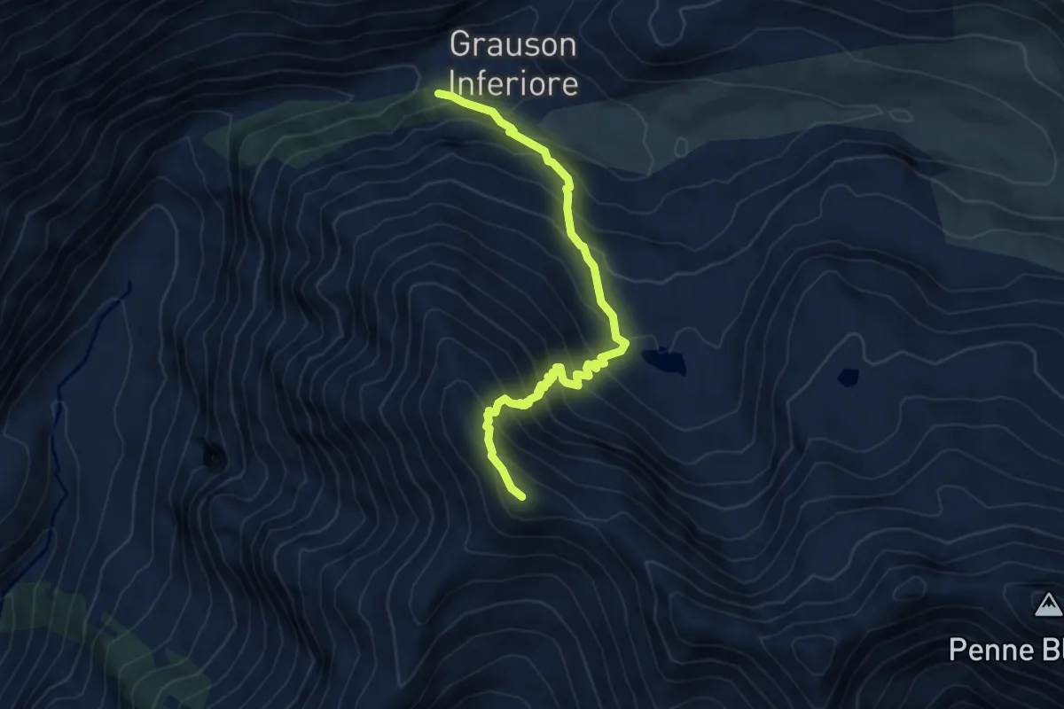
Demanding · Summit
Percorso 8 – Monte Creya
5.8 km · ↑ 697 m · 2 h 52 min · 13 km away
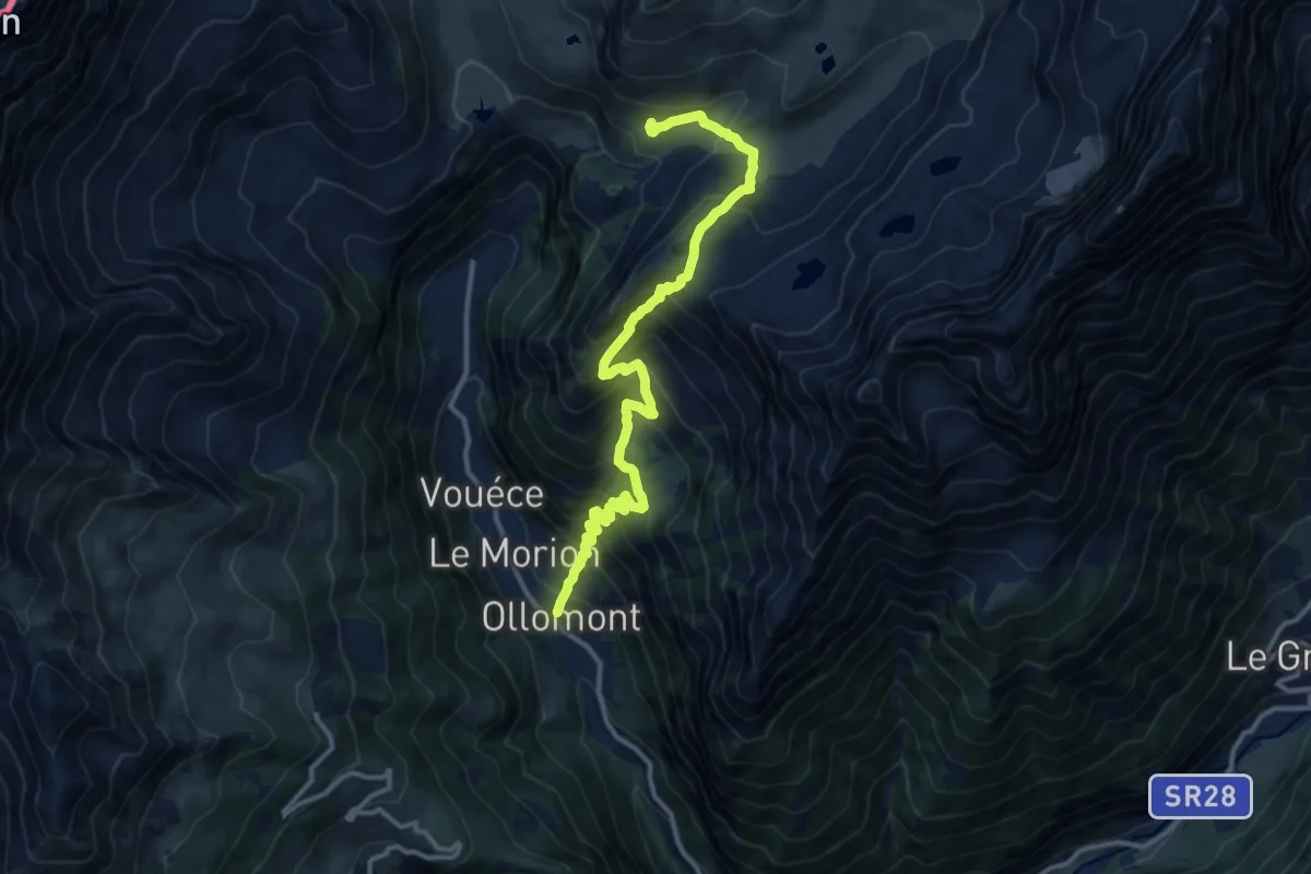
Demanding · Trail
Ollomont – Les Balmes
13.6 km · ↑ 1209 m · 5 h 50 min · 13 km away
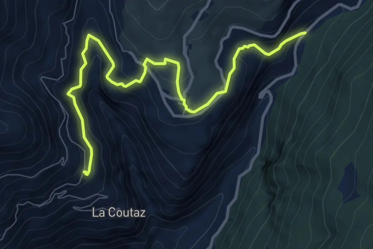
Medium · Trail
Arlod – Les Fabriques
8.5 km · ↑ 648 m · 3 h 25 min · 13 km away
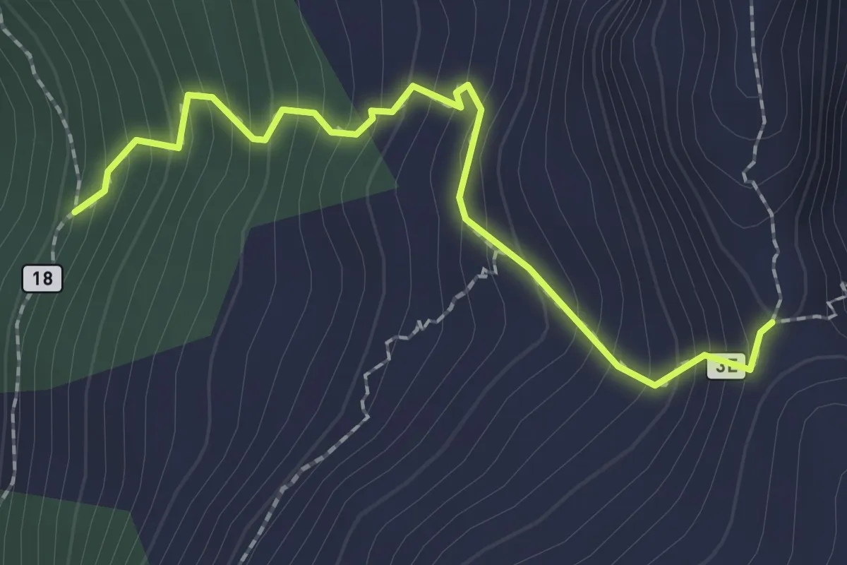
Medium · Trail
Percorso 18 – Colle di Crotey
2.2 km · ↑ 281 m · 1 h 8 min · 13 km away
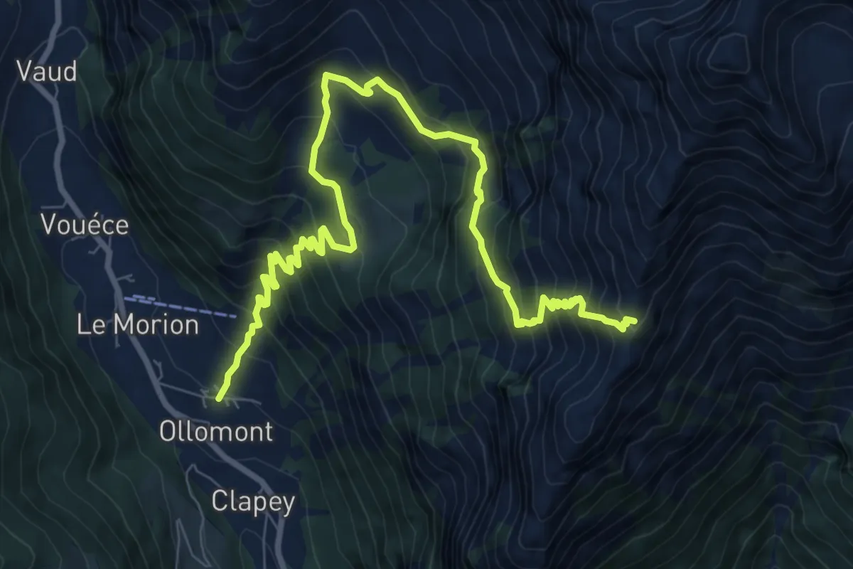
Demanding · Trail
Ollomont – Col Brison
10.6 km · ↑ 1180 m · 5 h 3 min · 13 km away
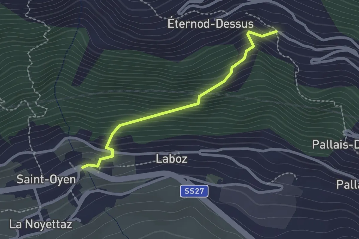
Easy · Trail
Saint-Oyen – Eternod
2.0 km · ↑ 238 m · 1 h · 13 km away
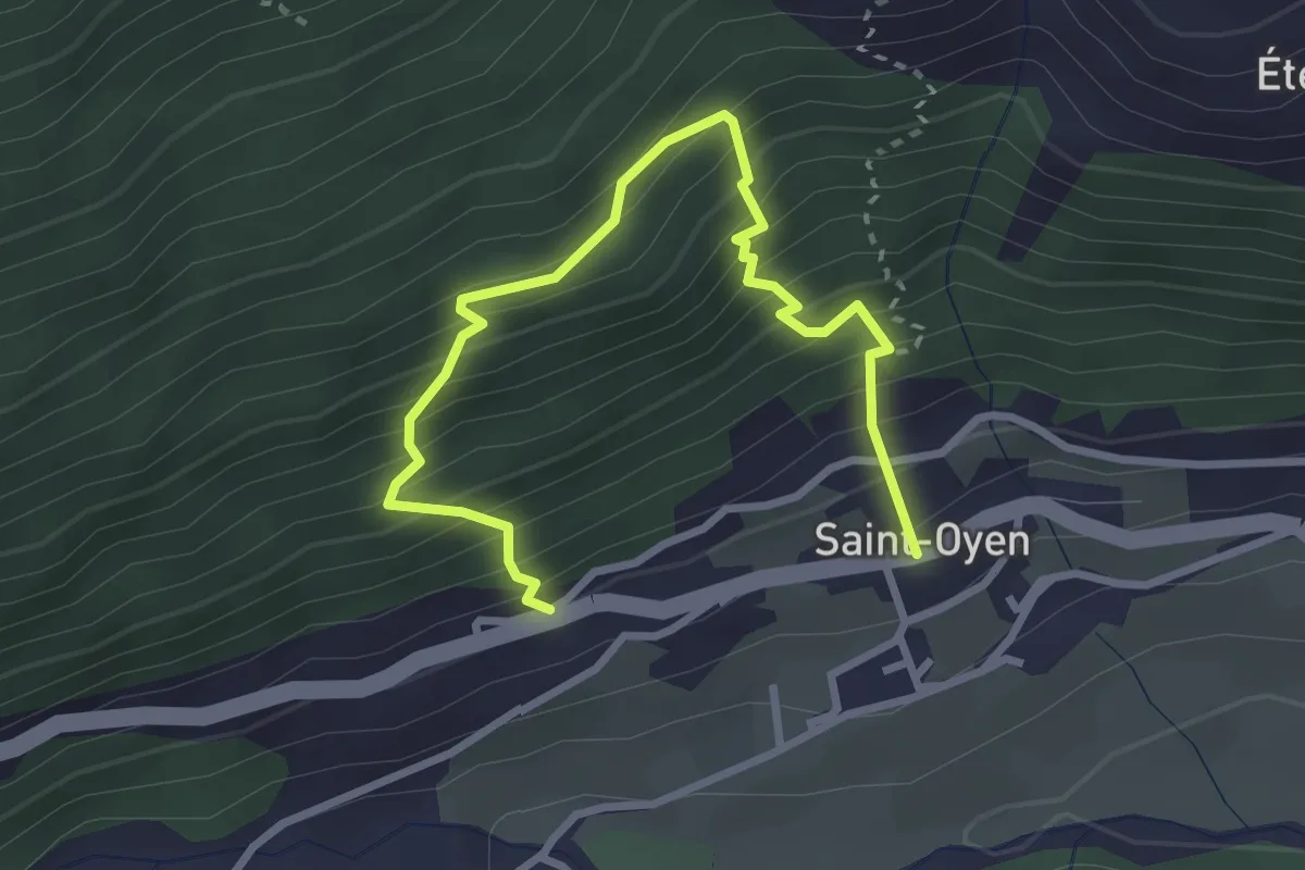
Medium · Trail
Saint-Oyen – Saint-Oyen
3.6 km · ↑ 527 m · 1 h 59 min · 13 km away
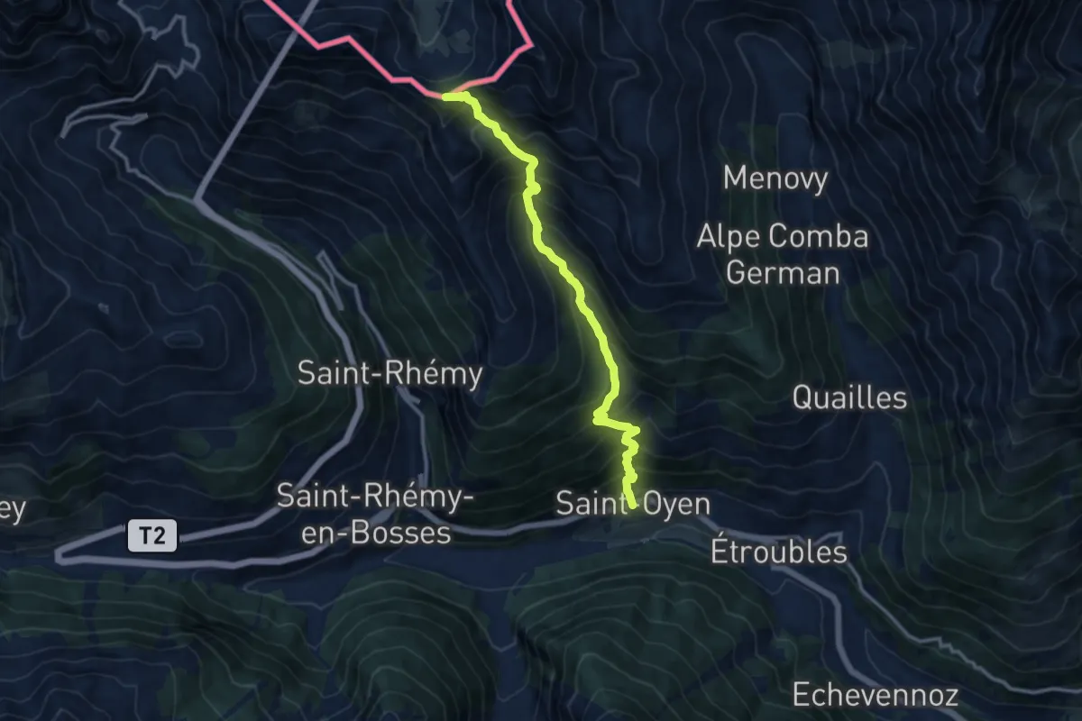
Expert · Summit
Saint-Oyen – Col Barasson Oriental
11.1 km · ↑ 1313 m · 5 h 28 min · 13 km away
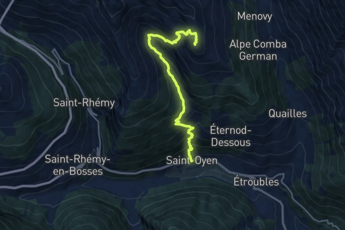
Demanding · Summit
Saint-Oyen – Mont Paglietta
10.8 km · ↑ 1093 m · 4 h 55 min · 13 km away
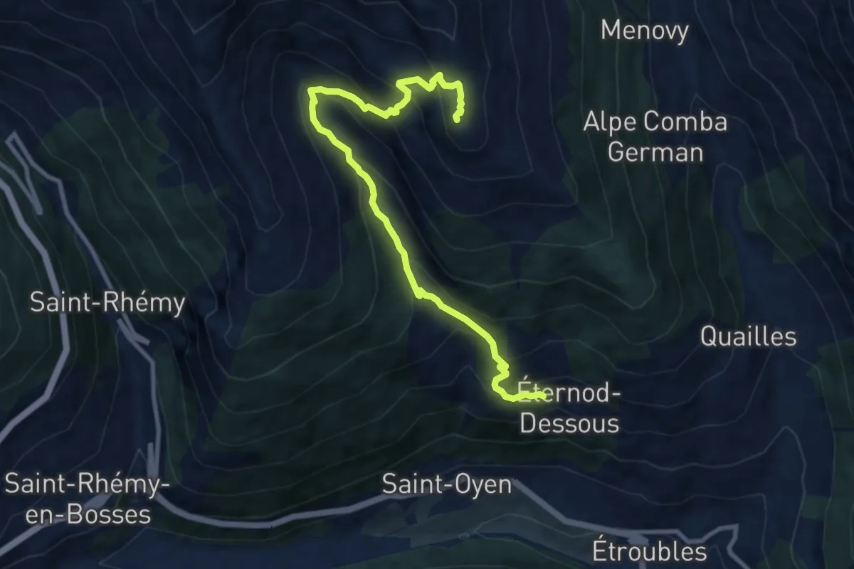
Demanding · Summit
Eternod – Mont Paglietta
9.6 km · ↑ 801 m · 4 h 1 min · 13 km away
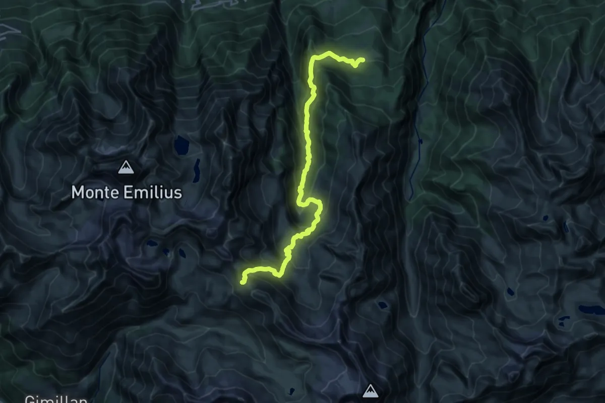
Medium · Trail
Druges – Col de Saint-Marcel
11.7 km · ↑ 102 m · 3 h 48 min · 13 km away
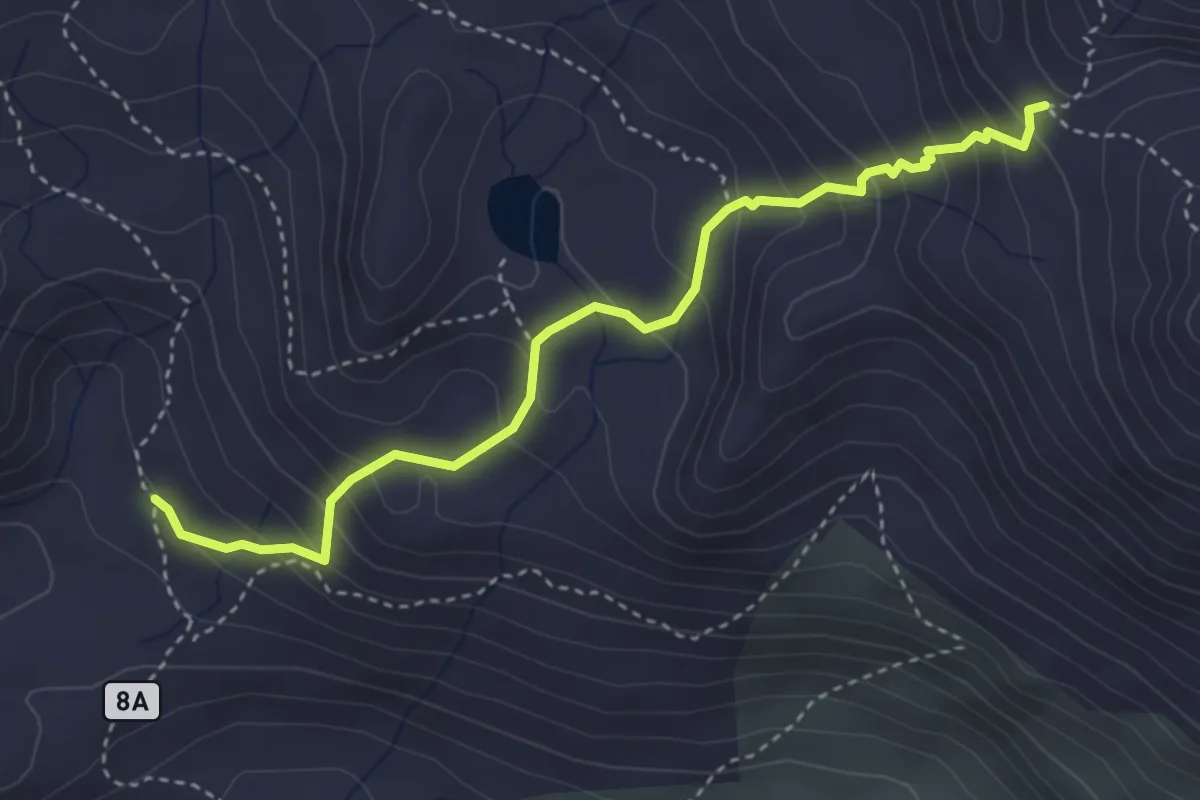
Demanding · Cabin
Grauson Superiore – Col de Saint Marcel
4.0 km · ↑ 362 m · 1 h 43 min · 13 km away
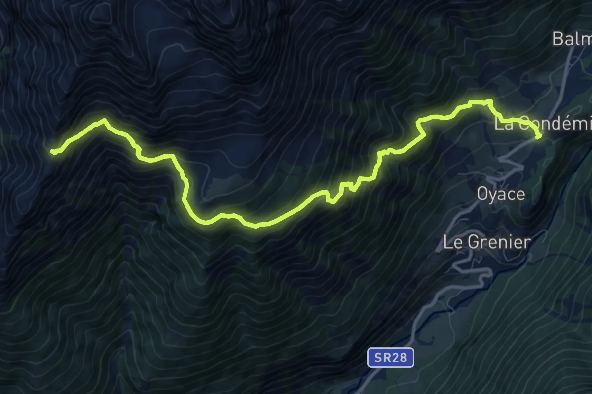
Demanding · Trail
Le Closé – Colle Brison
12.0 km · ↑ 1132 m · 5 h 17 min · 13 km away
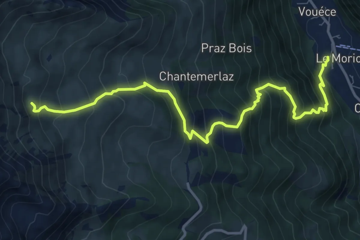
Demanding · Cabin
Rifugio Champillon – Rey
9.5 km · ↑ 1051 m · 4 h 31 min · 13 km away
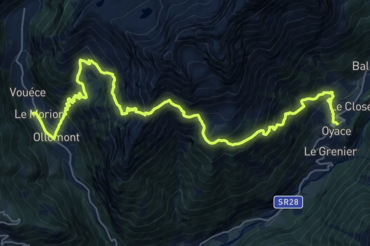
Demanding · Trail
Rey – Oyace
12.4 km · ↑ 1214 m · 5 h 44 min · 13 km away
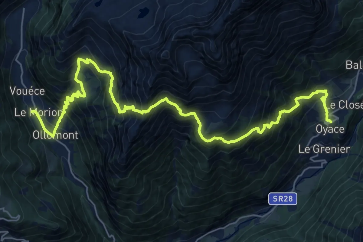
Demanding · Trail
Alta Via n. 1 della Valle d'Aosta - Tappa 12
12.4 km · ↑ 1214 m · 5 h 44 min · 13 km away
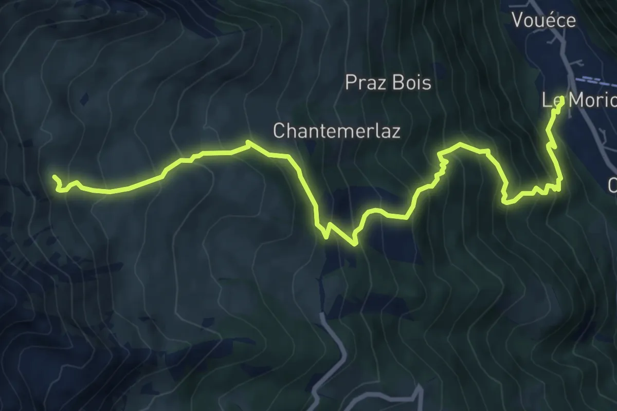
Demanding · Cabin
Alta Via n. 1 della Valle d'Aosta - Tappa 13
9.5 km · ↑ 1051 m · 4 h 31 min · 13 km away
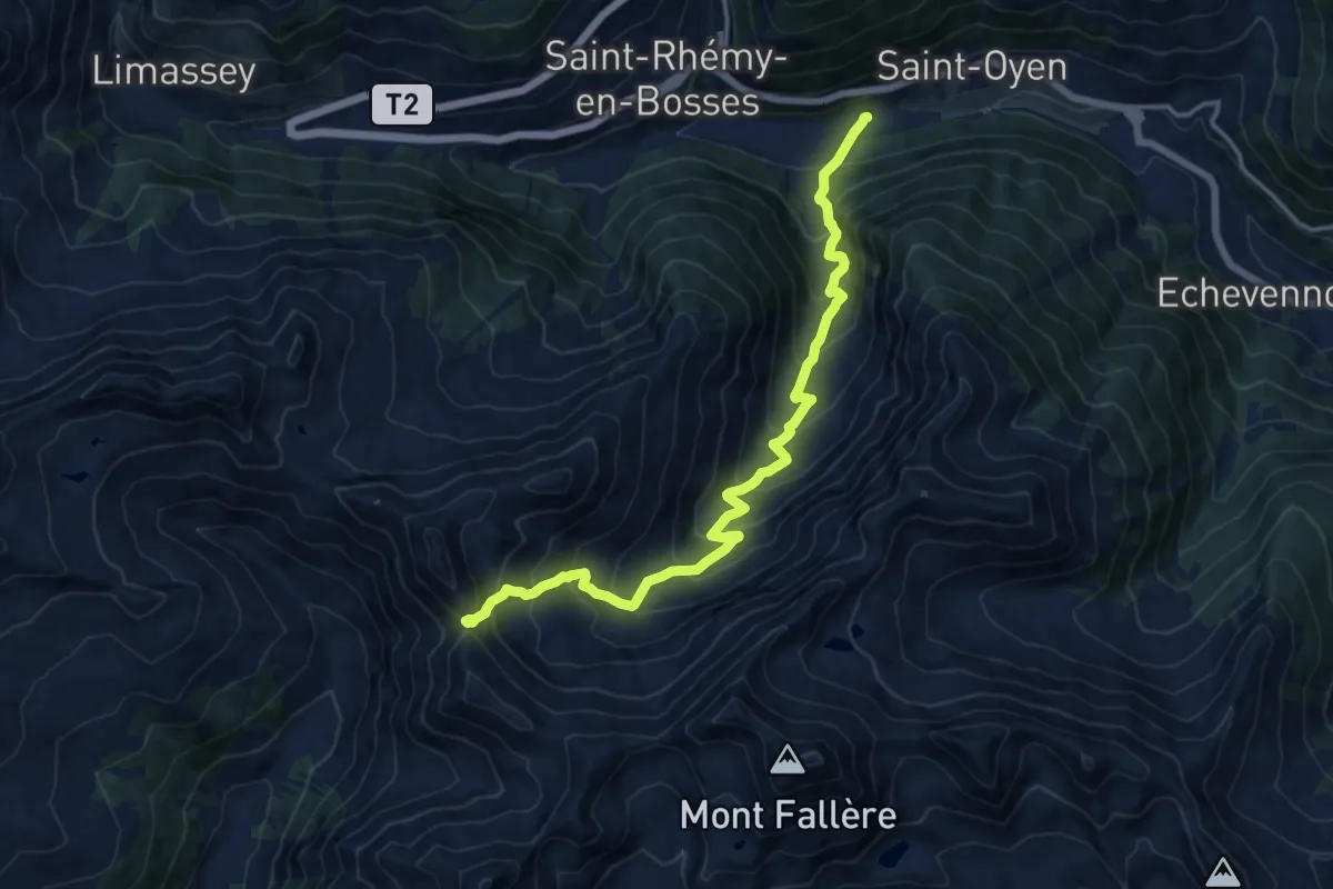
Demanding · Trail
Prenoud – Col Flassin
15.2 km · ↑ 1247 m · 6 h 17 min · 13 km away
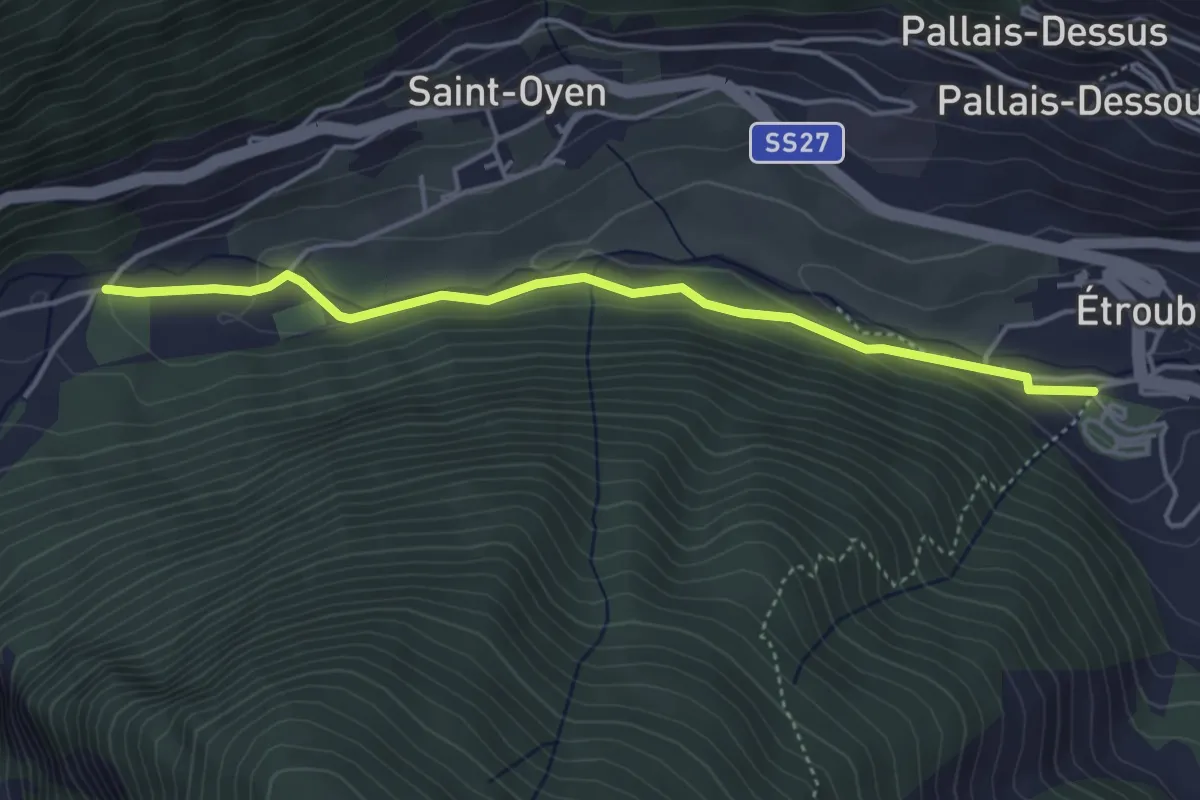
Easy · Trail
Prenoud – Ponte Artanavaz
4.3 km · ↑ 86 m · 1 h 12 min · 13 km away
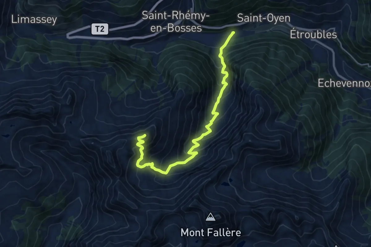
Demanding · Summit
Prenoud – Tête Cordellaz
16.3 km · ↑ 1303 m · 6 h 41 min · 13 km away
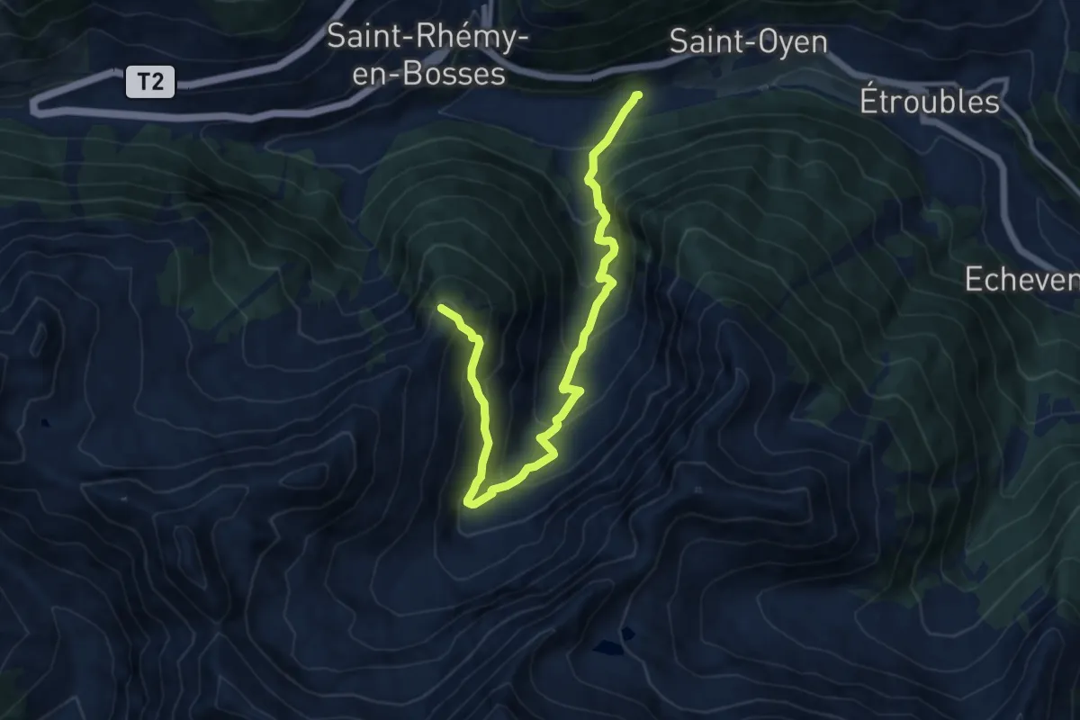
Demanding · Summit
Prenoud – Tête du Bois
12.0 km · ↑ 895 m · 4 h 46 min · 13 km away
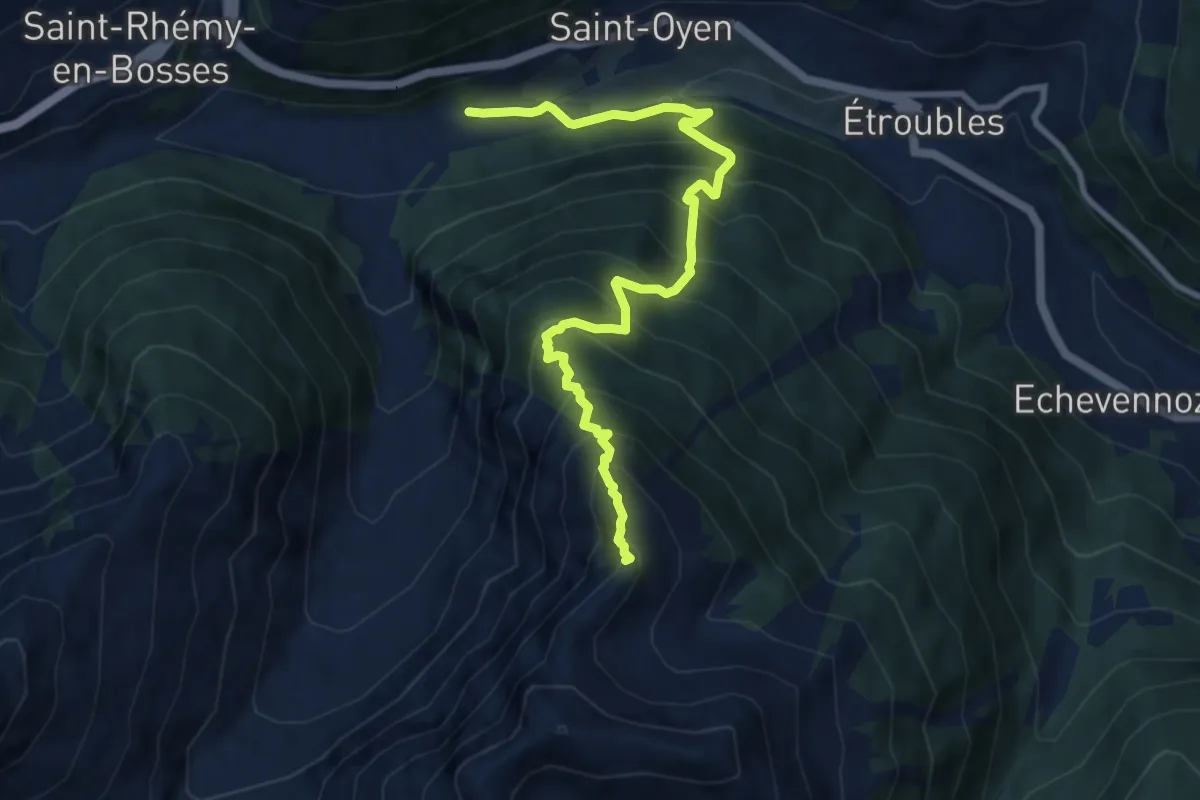
Demanding · Summit
Prenoud – Grande Tête
10.0 km · ↑ 1156 m · 4 h 52 min · 13 km away
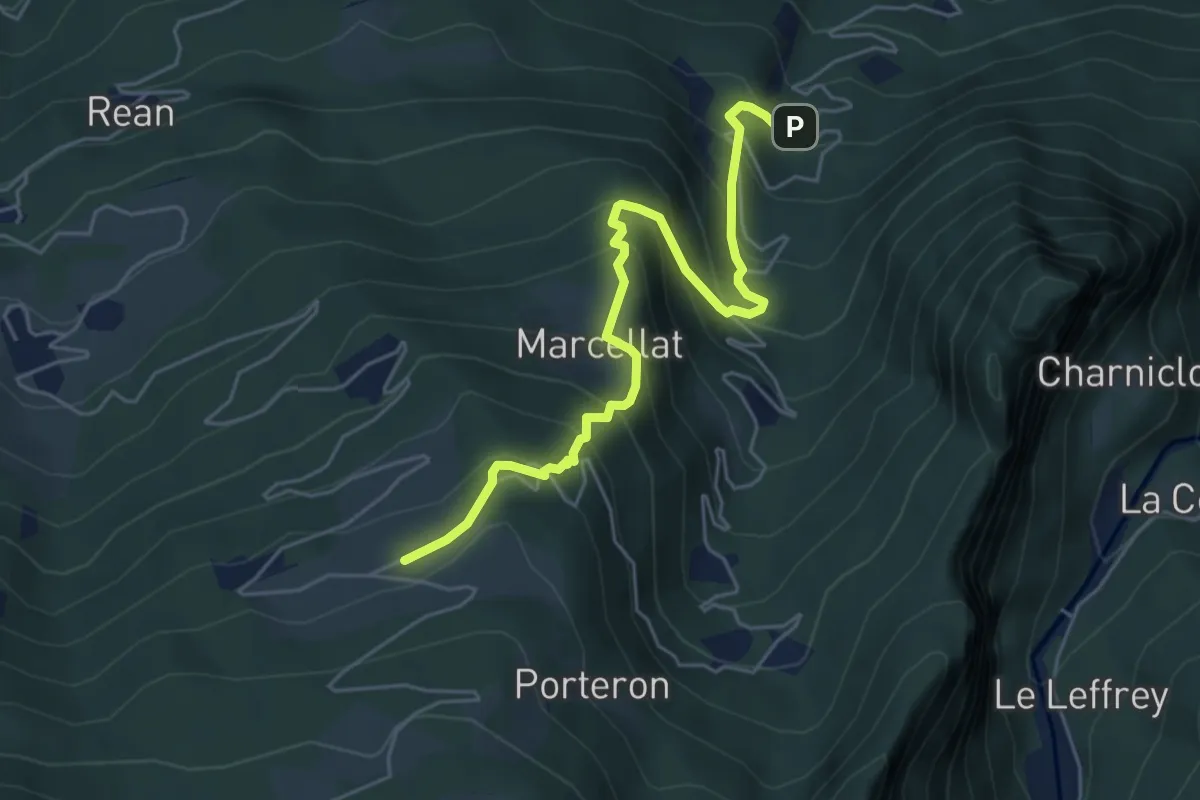
Medium · Trail
Sentiero 10A - Croix de Ban-Champremier - E
5.7 km · ↑ 562 m · 2 h 33 min · 13 km away
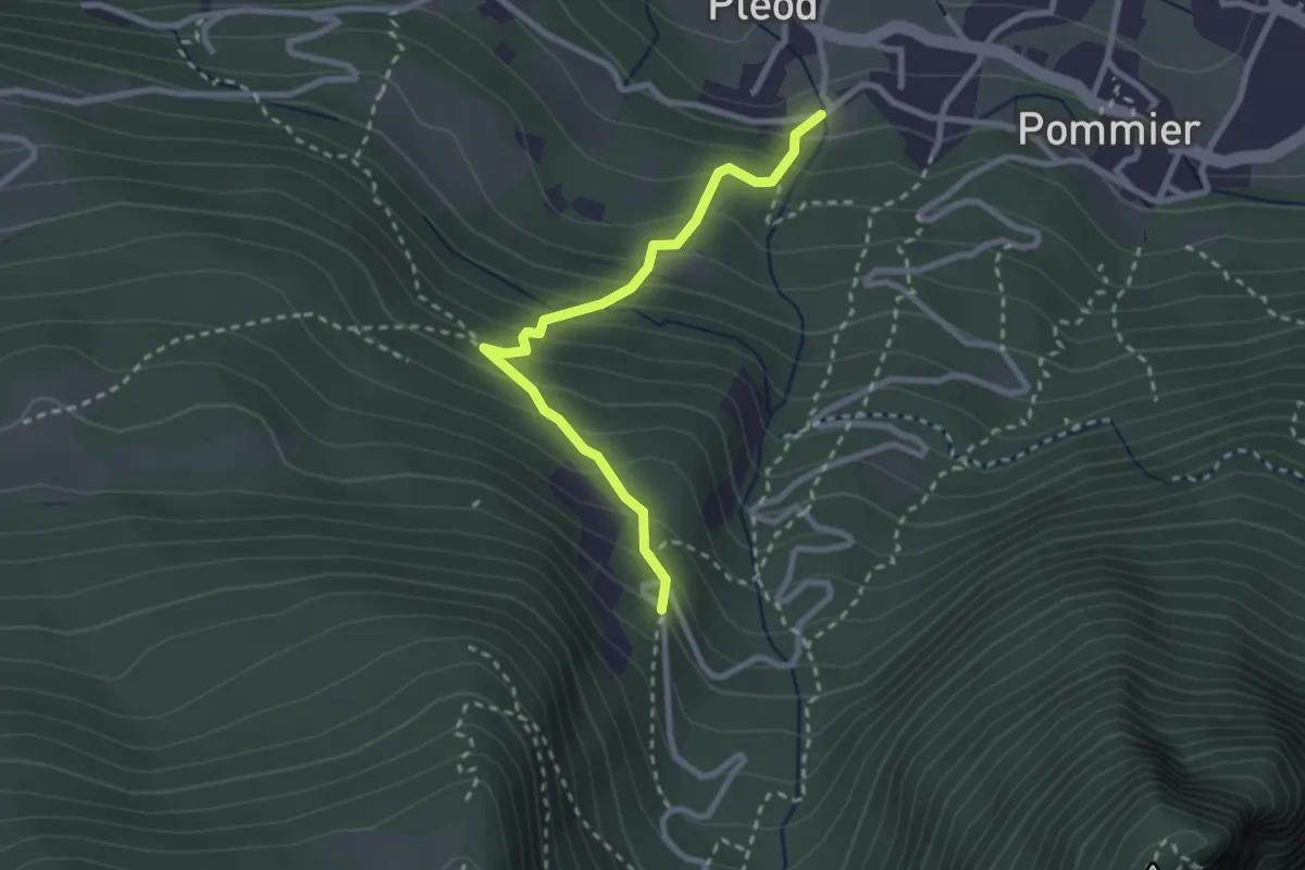
Medium · Trail
Sentiero 11A - Pleod-Croix de Ban - E
2.7 km · ↑ 307 m · 1 h 17 min · 13 km away
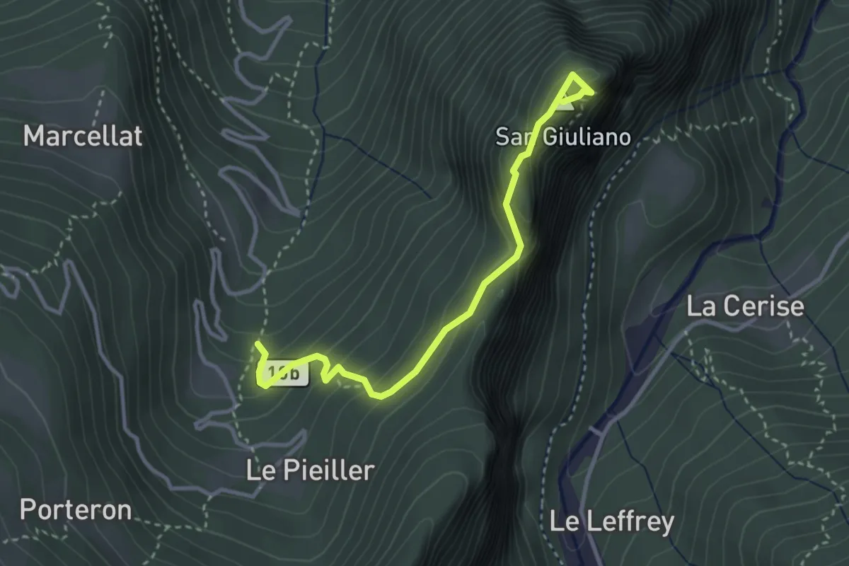
Medium · Summit
Sentiero 10B
3.3 km · ↑ 315 m · 1 h 27 min · 13 km away
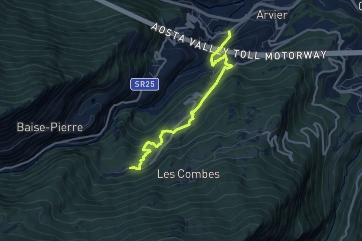
Medium · Trail
Leverogne - Grand Haury
7.0 km · ↑ 615 m · 2 h 59 min · 13 km away
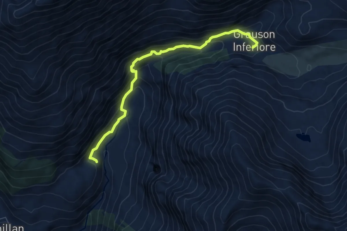
Medium · Trail
Cretetta – Grauson Inferiore
7.0 km · ↑ 559 m · 2 h 52 min · 13 km away
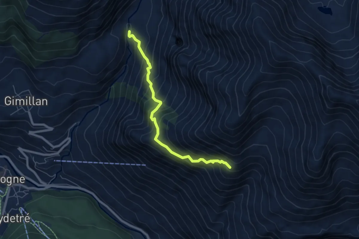
Demanding · Trail
Encloseur – Colonna
5.7 km · ↑ 614 m · 2 h 40 min · 13 km away
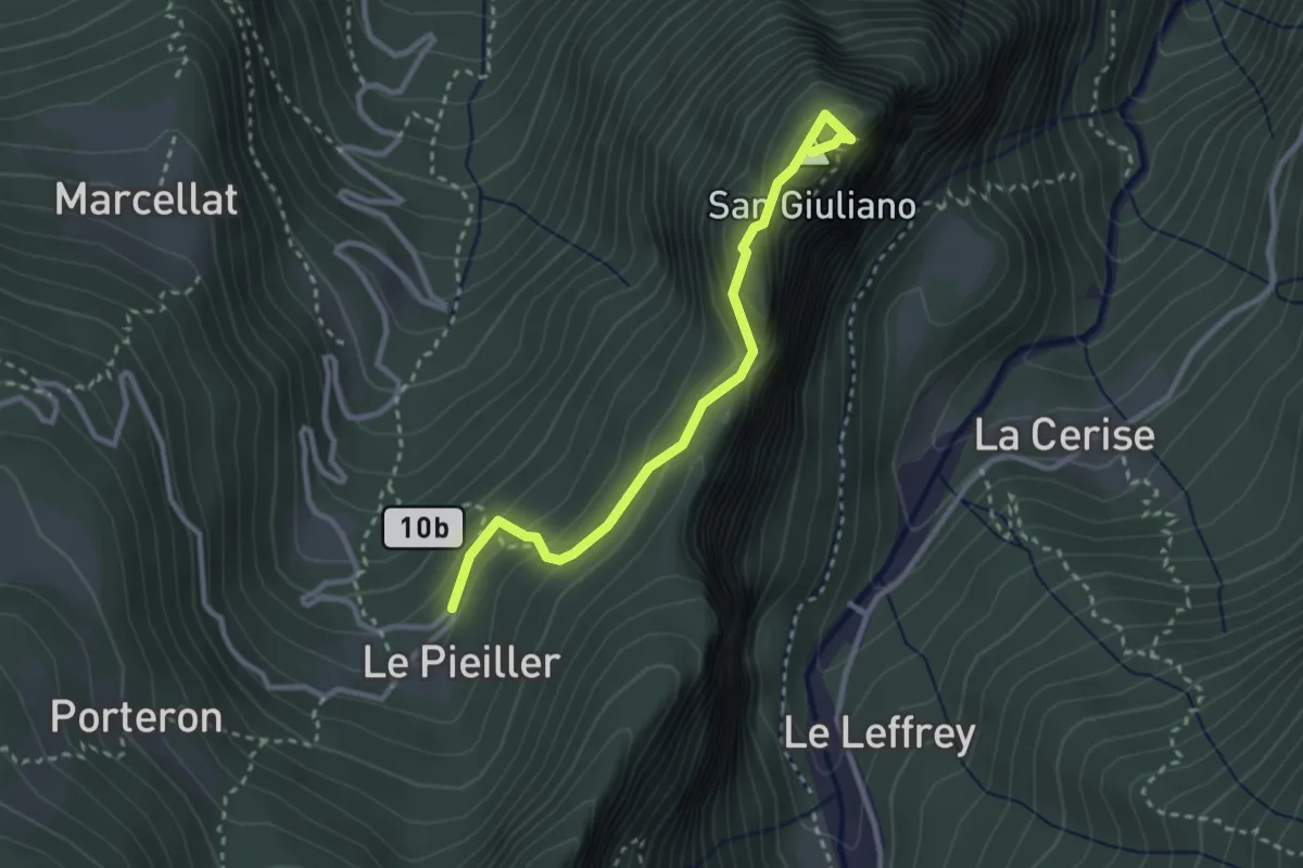
Medium · Summit
Coteau - Eremo Saint-Julien
2.9 km · ↑ 269 m · 1 h 15 min · 13 km away
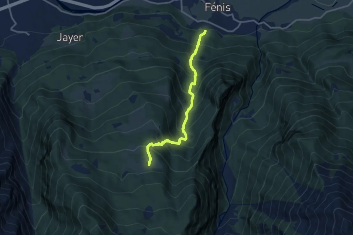
Demanding · Trail
Sentiero 10 - Perron-druges Basse - E - 2,55 ore
7.6 km · ↑ 962 m · 3 h 53 min · 13 km away
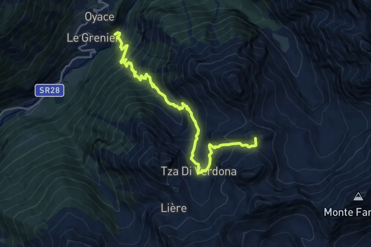
Demanding · Summit
Ponte Vernosse – Col Vamea
13.9 km · ↑ 1464 m · 6 h 27 min · 13 km away
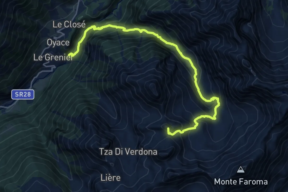
Demanding · Summit
Vernosse – Col Vamea
17.7 km · ↑ 1449 m · 7 h 19 min · 13 km away
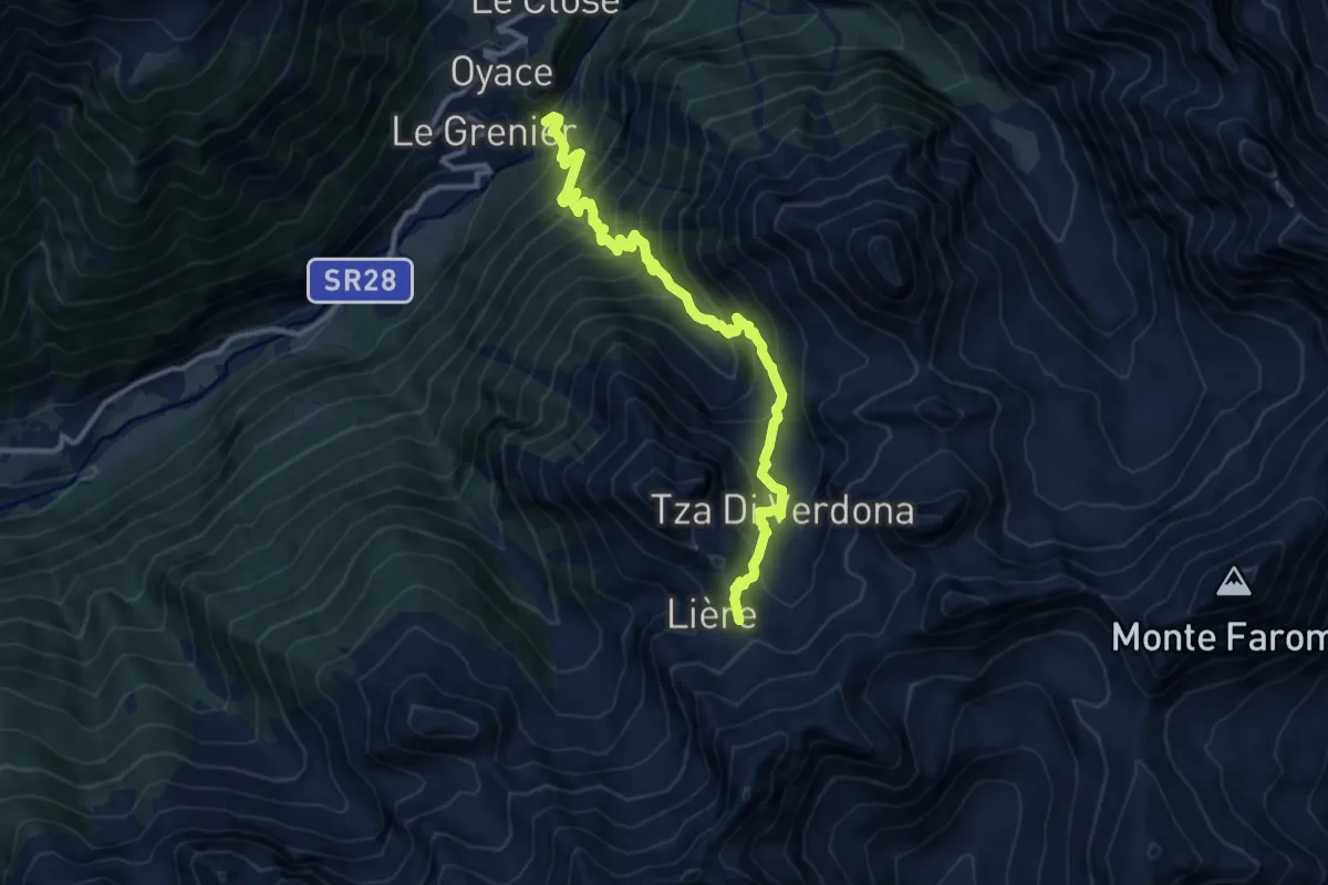
Demanding · Summit
Ponte Vernosse – Col de L'Arpeyssaou
12.4 km · ↑ 1199 m · 5 h 31 min · 13 km away
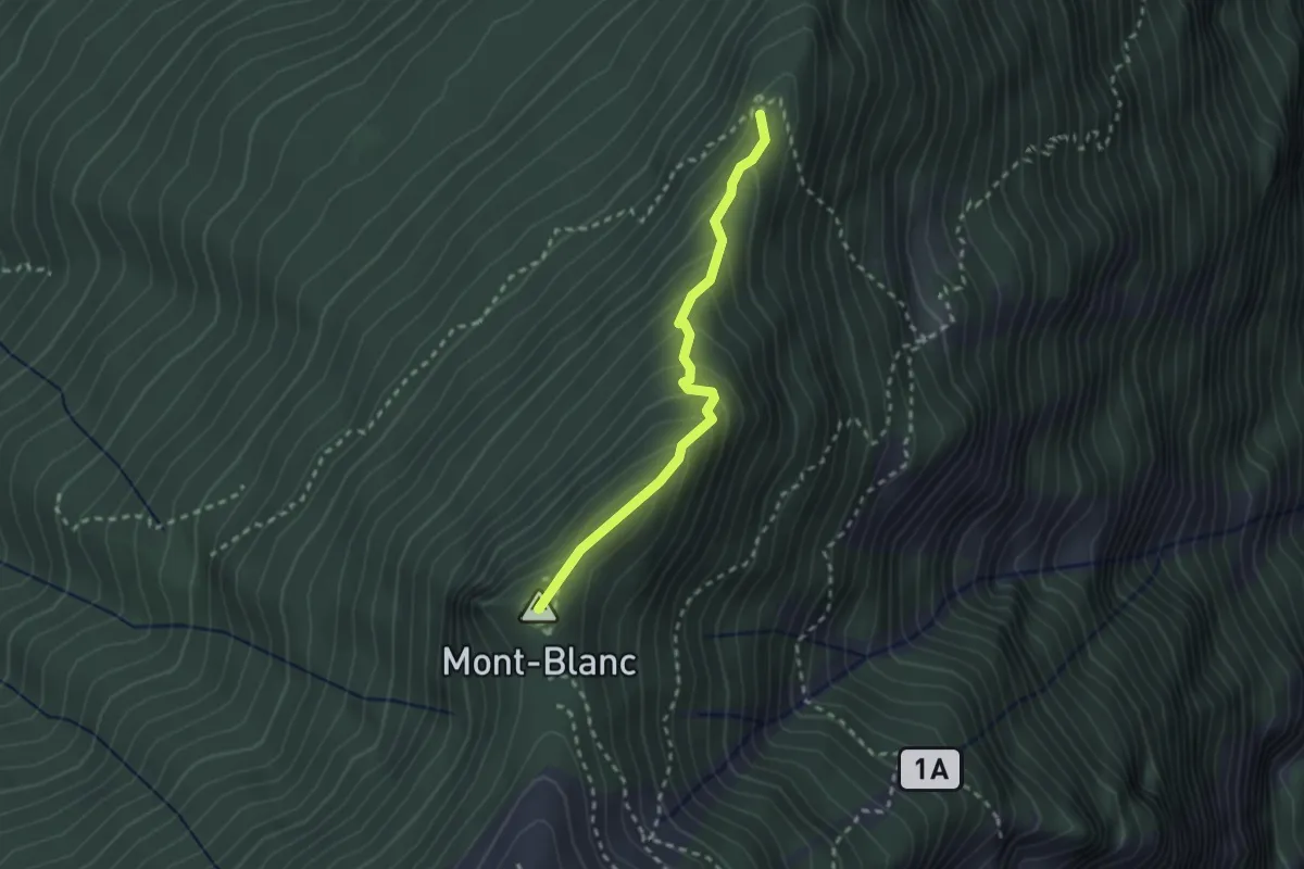
Medium · Summit
Col du Mont Blanc – Percorso 3
2.4 km · ↑ 187 m · 58 min · 13 km away