Trails near Aosta - Aoste
261 hikes starting within 15 km, nearest first.
Nearest first, page 5 of 6
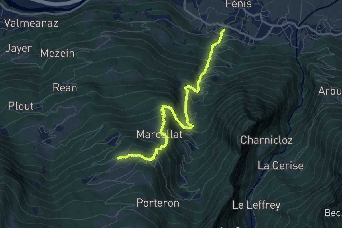
Demanding · Trail
Perron – Cretes
7.3 km · ↑ 818 m · 3 h 30 min · 13 km away
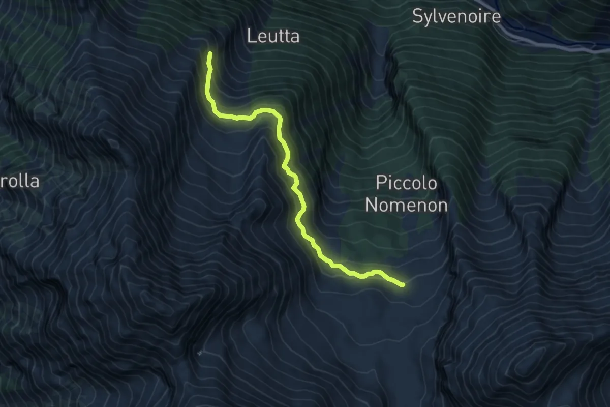
Demanding · Trail
Bivacco Gontier – Arpissonnet (Casotto PNGP)
6.8 km · ↑ 532 m · 2 h 46 min · 13 km away
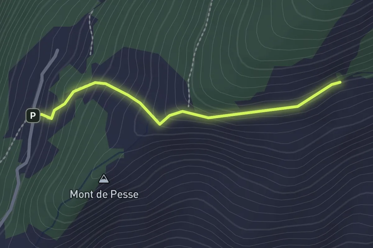
Medium · Trail
Percorso 3 – La Bourra
2.1 km · ↑ 178 m · 52 min · 13 km away
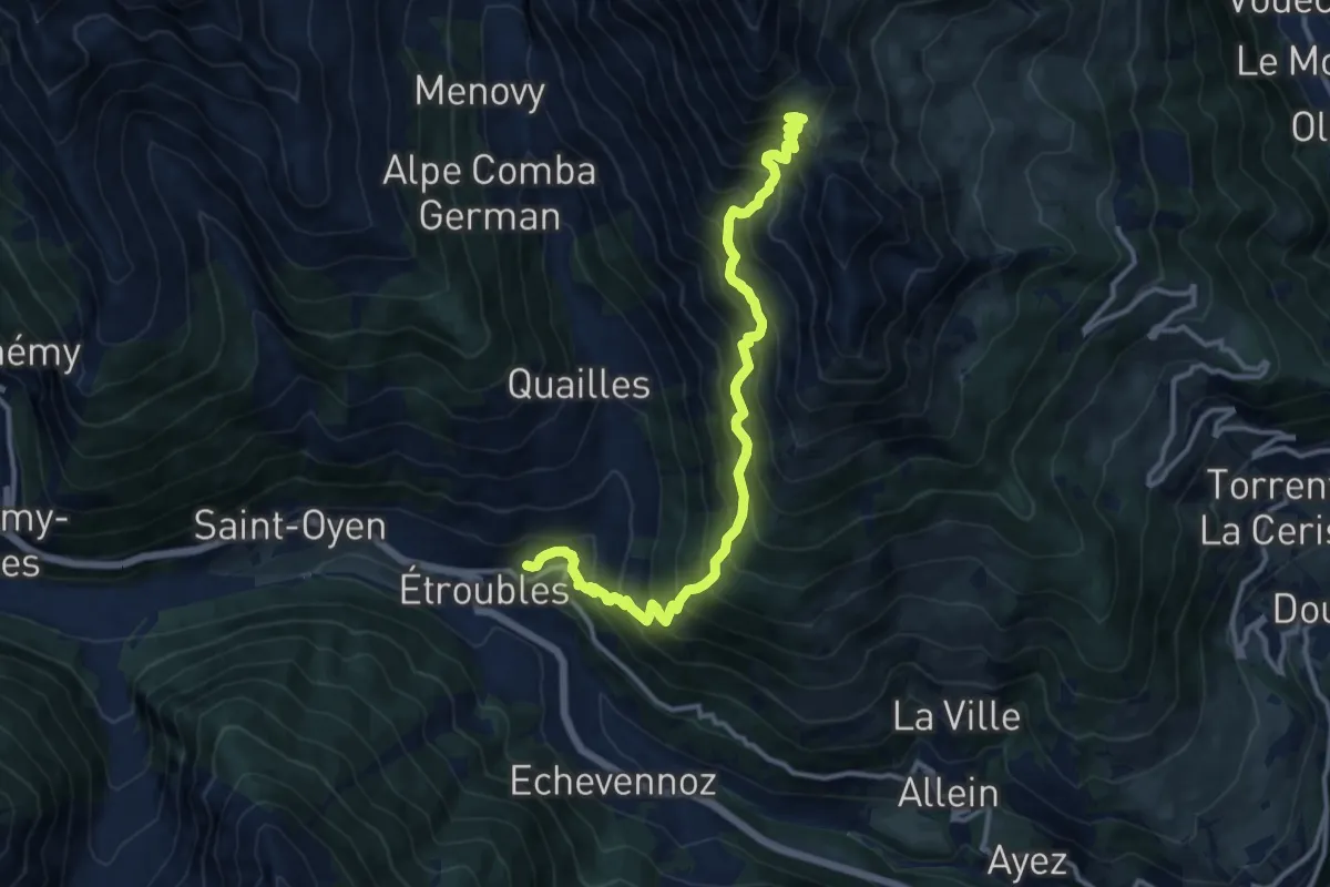
Demanding · Trail
Etroubles – Col Champillon
12.9 km · ↑ 1474 m · 6 h 15 min · 13 km away
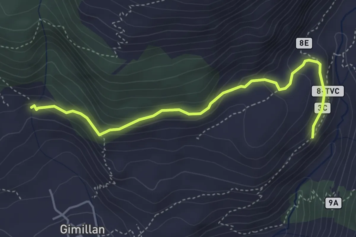
Medium · Trail
Cretetta – Pian di Teppe
4.2 km · ↑ 265 m · 1 h 34 min · 14 km away
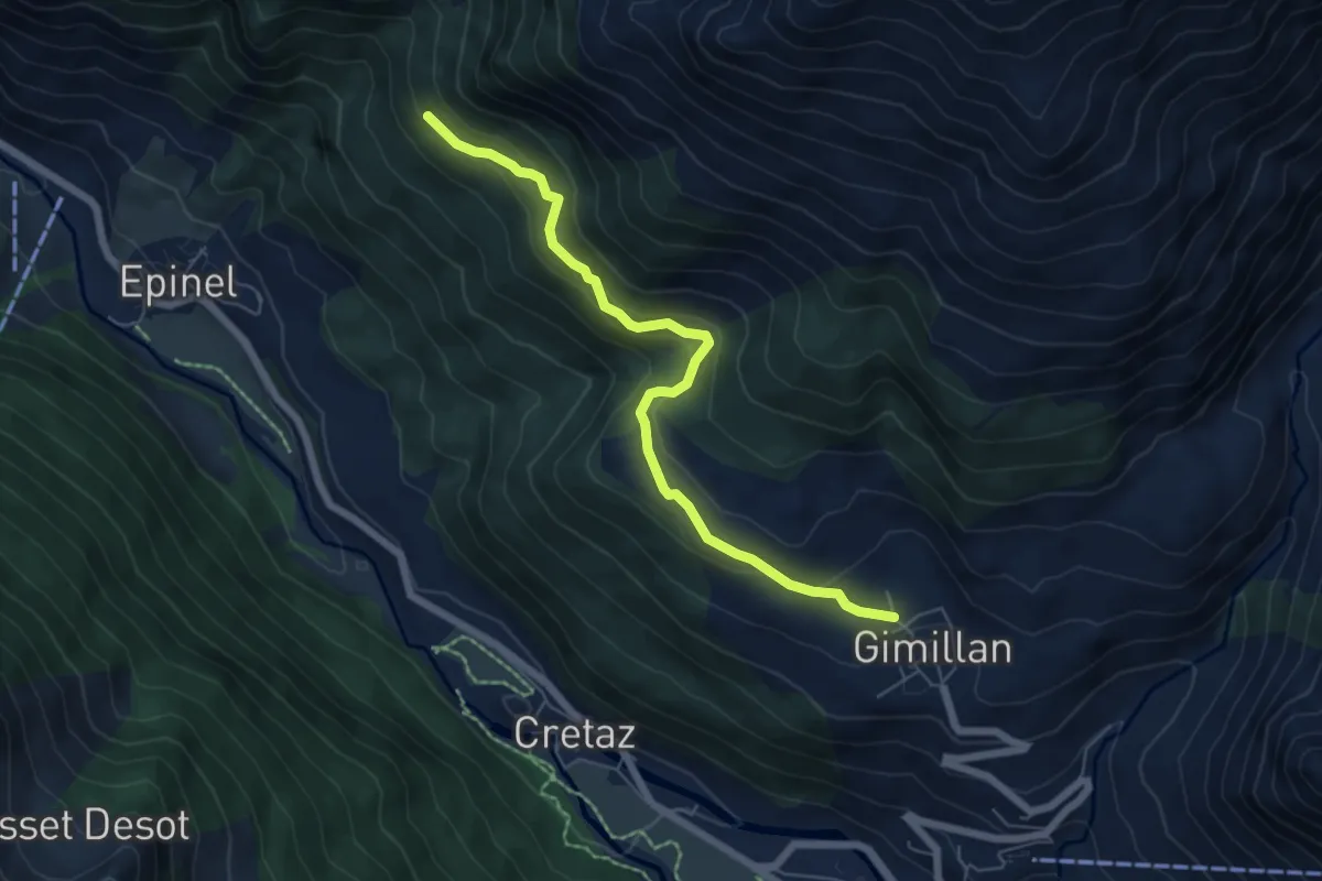
Medium · Trail
Gimillan – Tsavanis
6.2 km · ↑ 383 m · 2 h 17 min · 14 km away
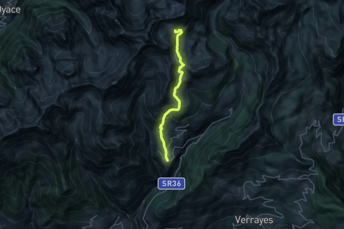
Demanding · Cabin
Lignan – Rifugio Oratorio Cunéy
15.9 km · ↑ 1129 m · 6 h 12 min · 14 km away
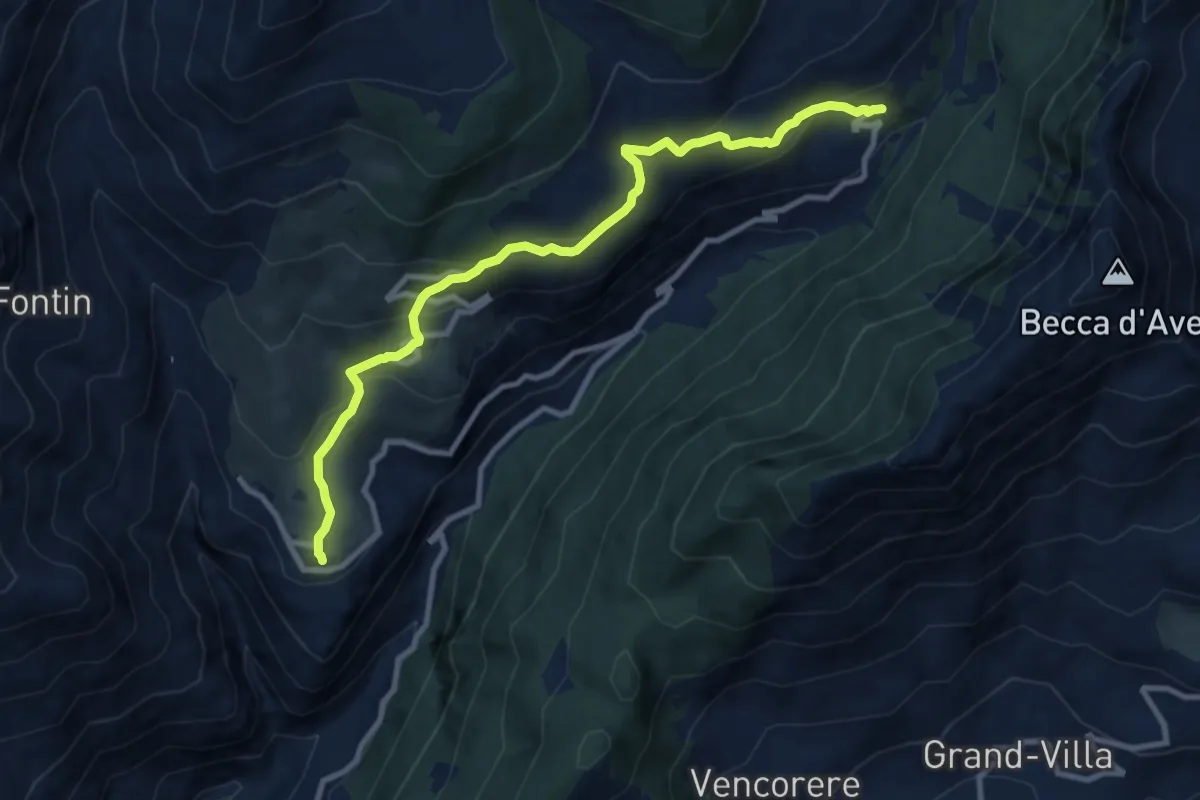
Medium · Trail
Lignan – Praz
10.2 km · ↑ 546 m · 3 h 36 min · 14 km away
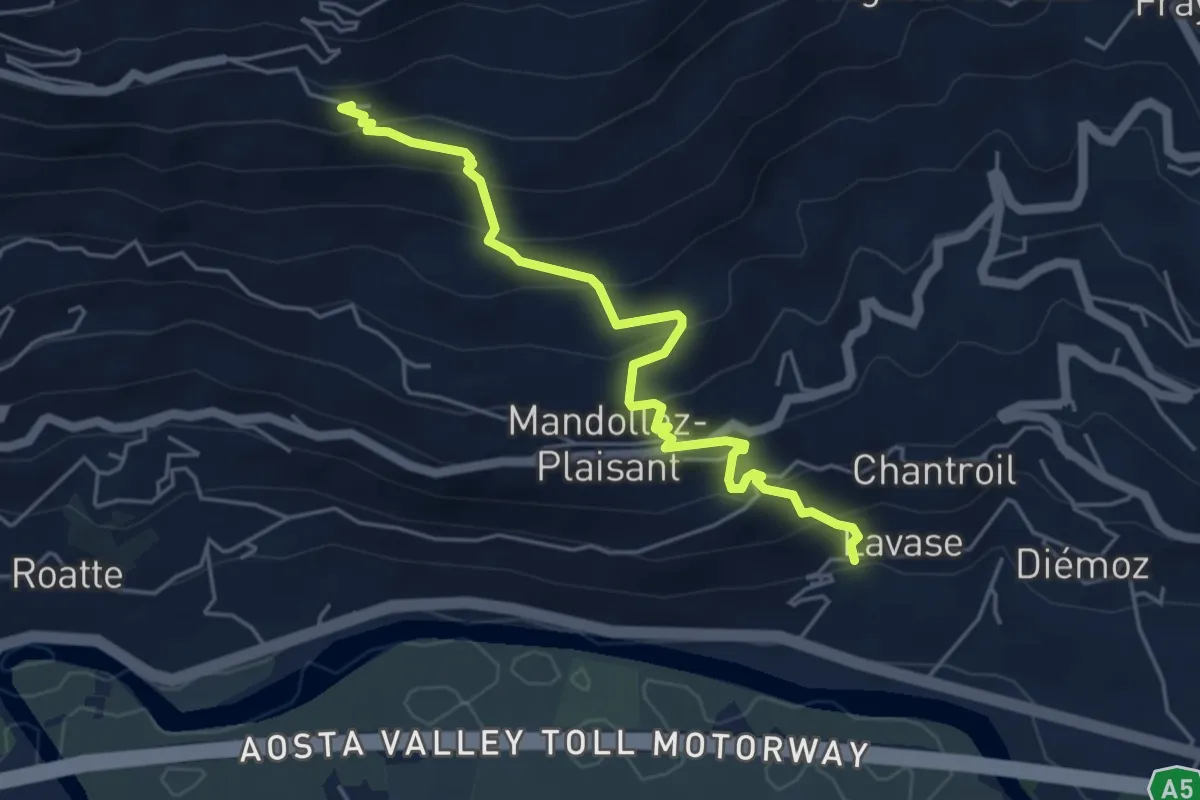
Expert · Trail
Sentiero 2B - Chevancé - Lavanche
5.1 km · ↑ 474 m · 2 h 14 min · 14 km away
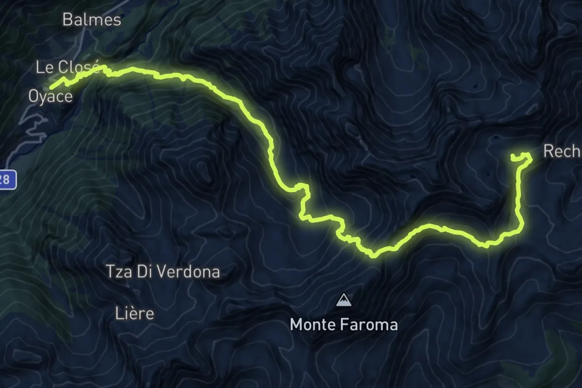
Demanding · Cabin
Oyace – Rifugio Cuney
14.1 km · ↑ 1776 m · 6 h 45 min · 14 km away
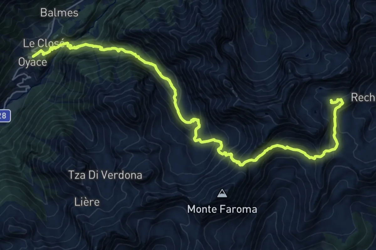
Demanding · Cabin
Alta Via n. 1 della Valle d'Aosta - Tappa 11
14.1 km · ↑ 1776 m · 6 h 45 min · 14 km away
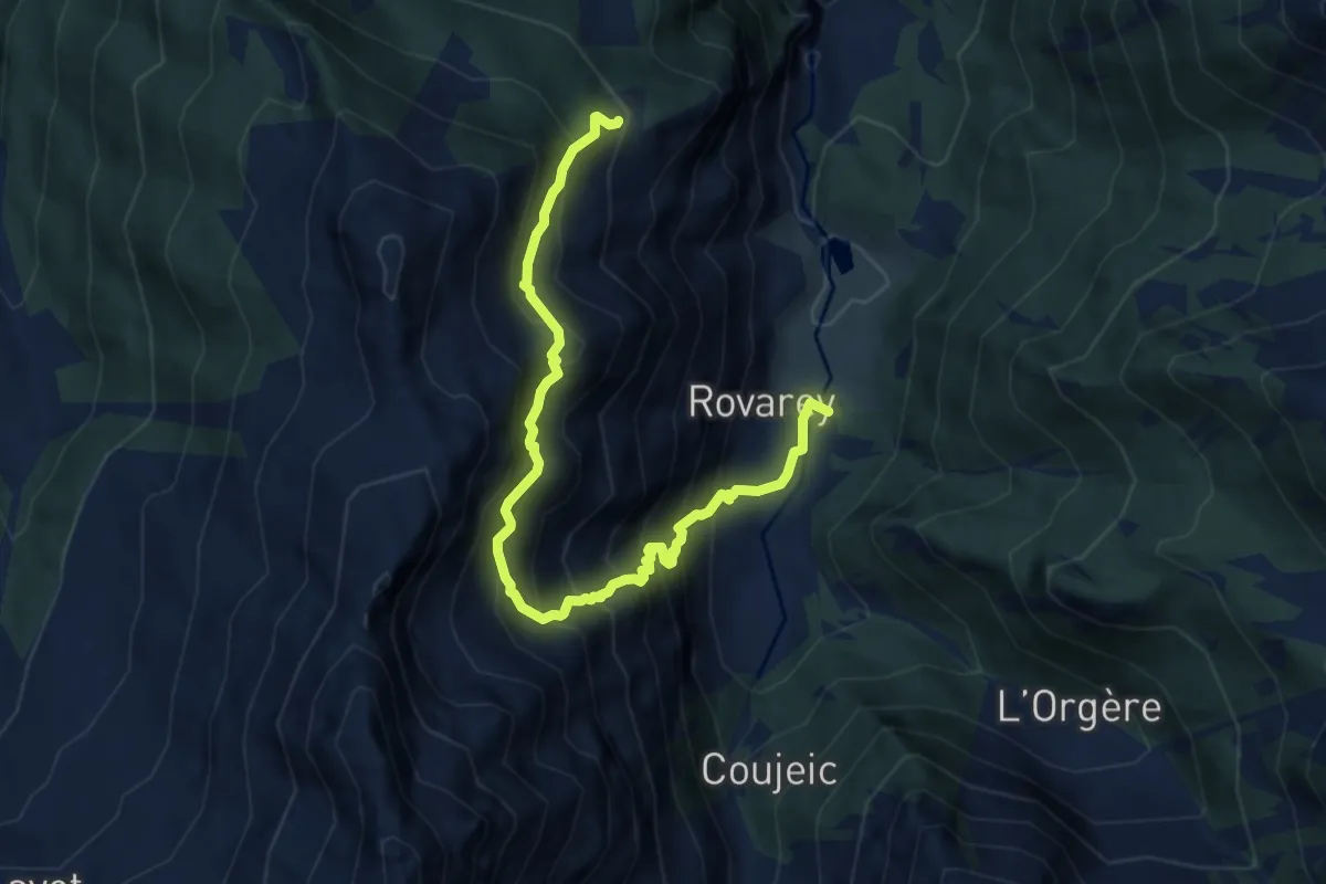
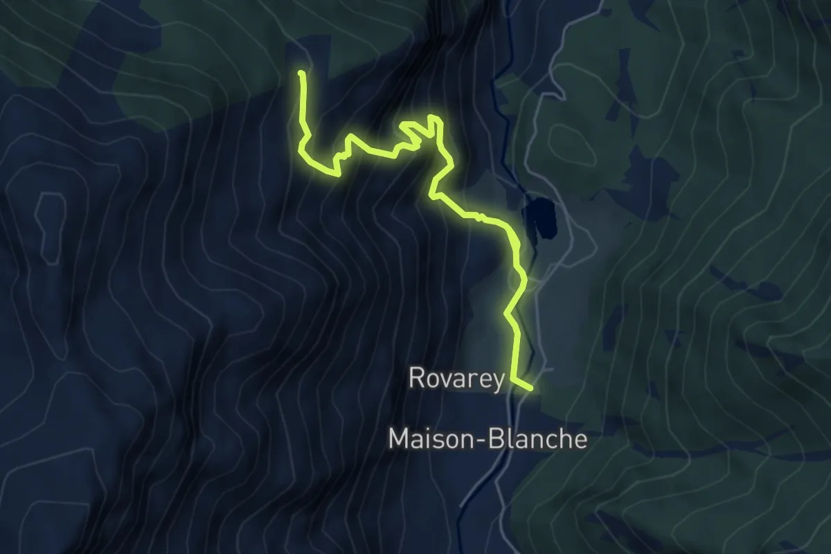
Demanding · Trail
Maison Blanche – Praz Premier
9.1 km · ↑ 1227 m · 4 h 48 min · 14 km away
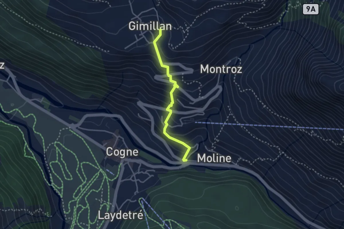
Medium · Trail
Chez Boz – Prapremier
5.7 km · ↑ 691 m · 2 h 50 min · 14 km away
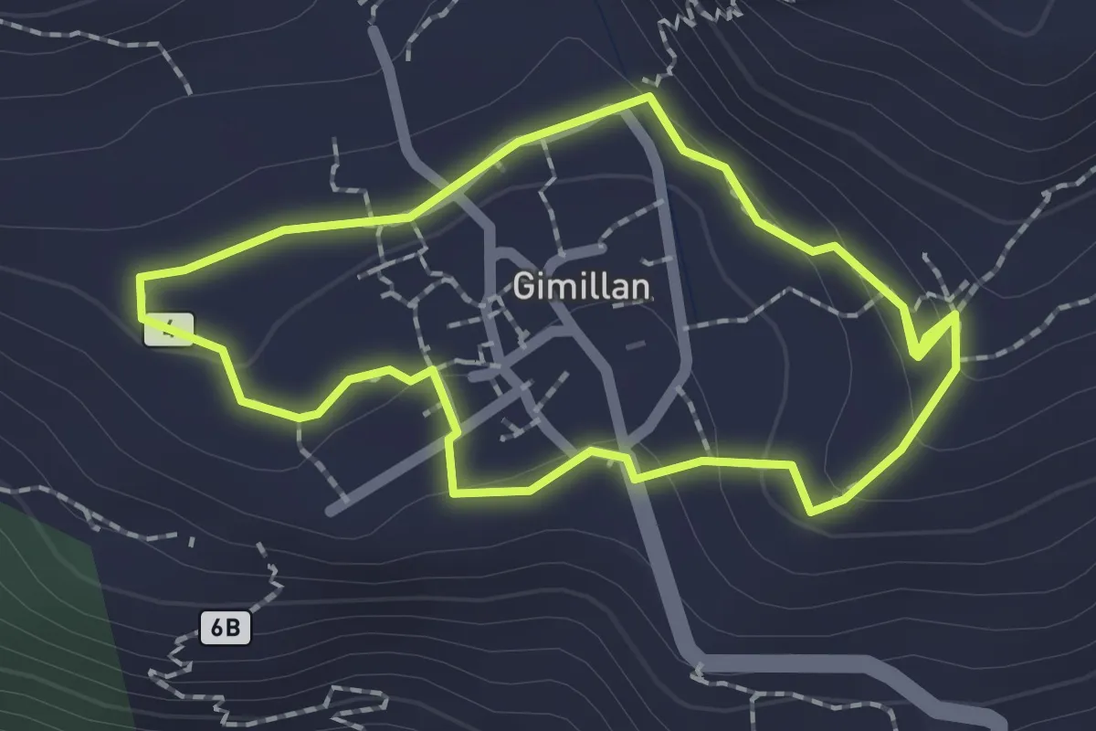
Easy · Trail
Cogne, capoluogo – Gimillan
2.7 km · ↑ 234 m · 1 h 9 min · 14 km away
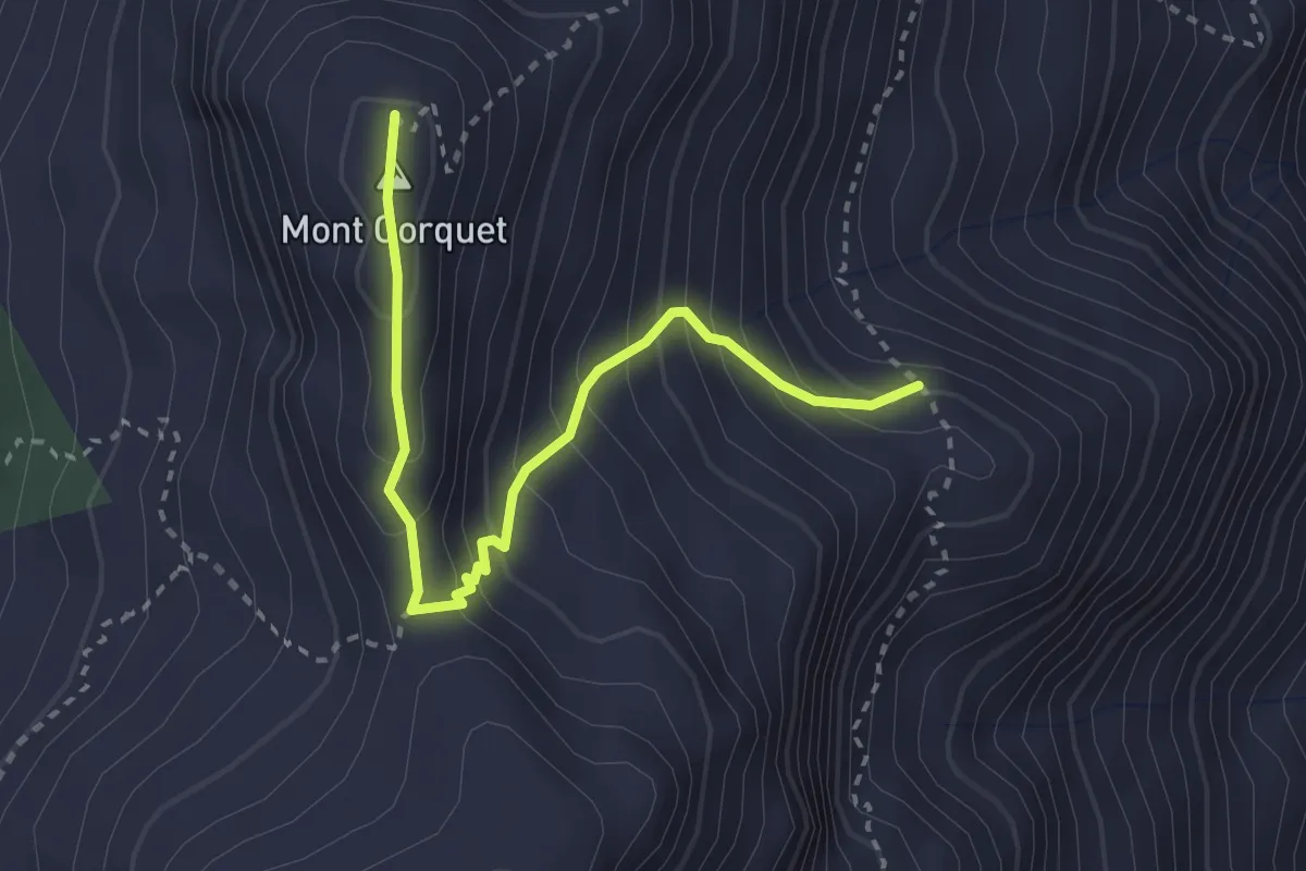
Medium · Trail
Promenade Gimillan 270°
1.8 km · ↑ 60 m · 35 min · 14 km away
Medium · Summit
Percorso 8 – Mont Corquet
3.1 km · ↑ 308 m · 1 h 24 min · 14 km away
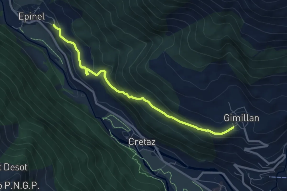
Medium · Trail
Epinel – Gimillan
6.3 km · ↑ 338 m · 2 h 14 min · 14 km away
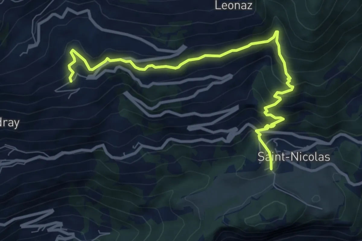
Medium · Trail
Fossaz – Cerlogne
8.2 km · ↑ 703 m · 3 h 28 min · 14 km away
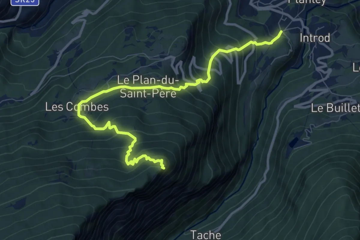
Demanding · Trail
Cré – Croix de Bouque
9.7 km · ↑ 870 m · 4 h 10 min · 14 km away
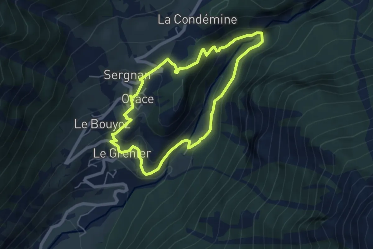
Medium · Trail
Tour Tornalla
4.0 km · ↑ 230 m · 1 h 30 min · 14 km away
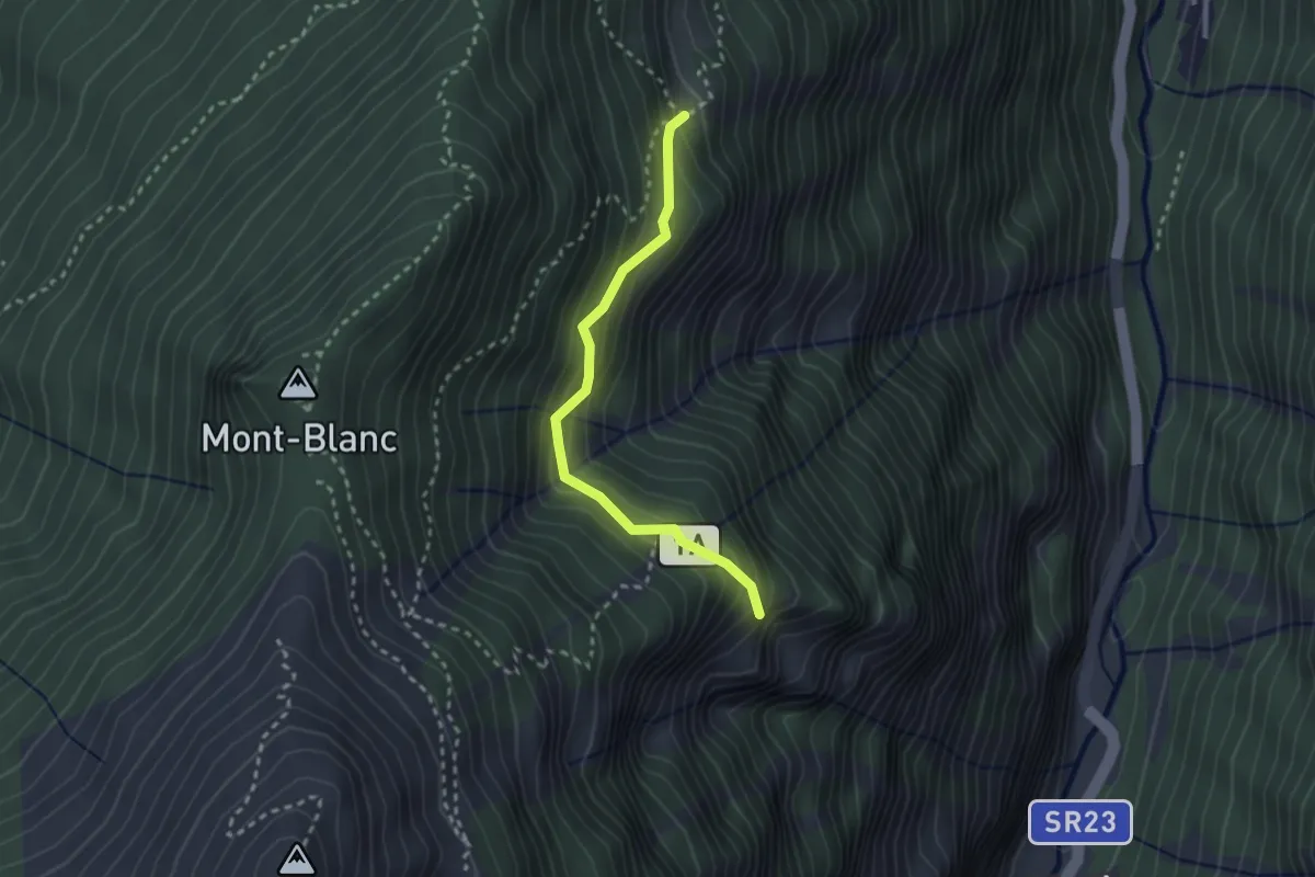
Medium · Cabin
Arpilles – L'Orvieille
2.5 km · ↑ 291 m · 1 h 13 min · 14 km away
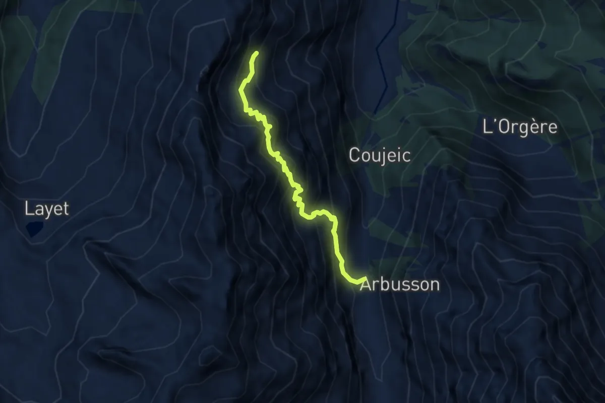
Demanding · Trail
Sentiero 8C - Bayet Superiore(1.842)-La Rossa Superiore (2.295) - E - 1h40' - disl. 417
6.6 km · ↑ 884 m · 3 h 28 min · 14 km away
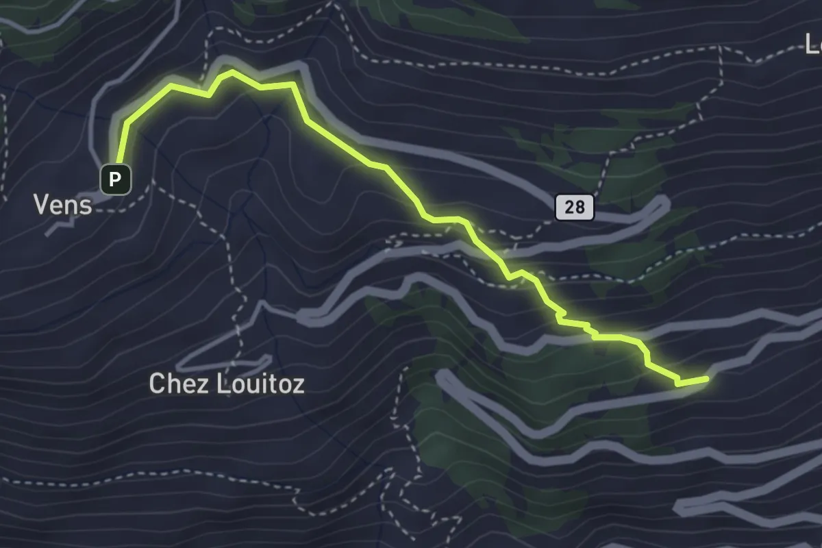
Demanding · Trail
Clavel – Vens
3.6 km · ↑ 271 m · 1 h 27 min · 14 km away
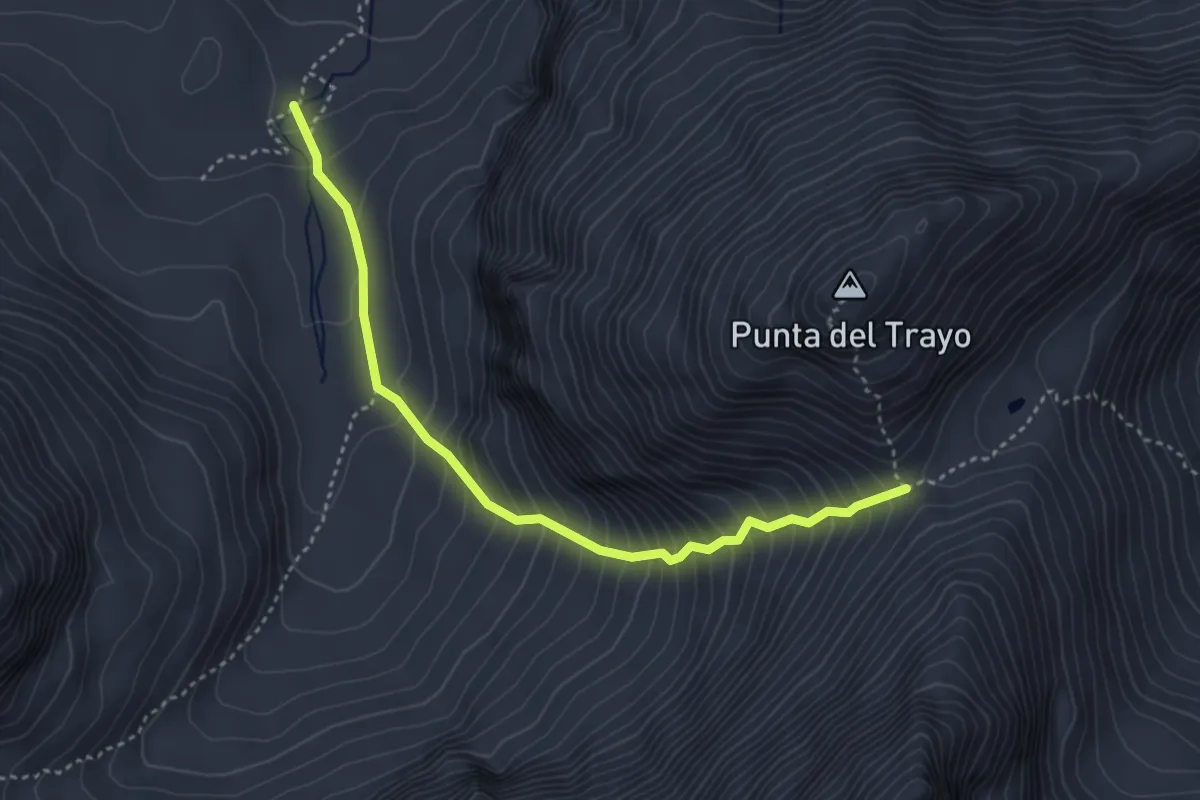
Expert · Cabin
Bivacco Gontier – Col du Tradzo
3.9 km · ↑ 537 m · 2 h 4 min · 14 km away
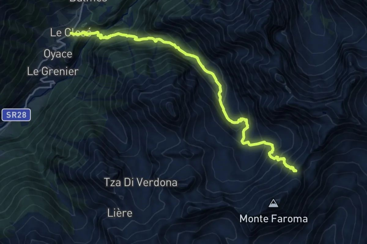
Demanding · Trail
Closé – Colle Vessona
17.7 km · ↑ 1607 m · 7 h 39 min · 14 km away
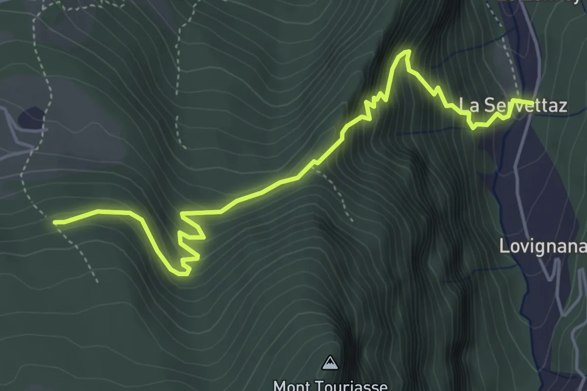
Medium · Trail
Servettaz – Les Druges
5.3 km · ↑ 595 m · 2 h 32 min · 14 km away
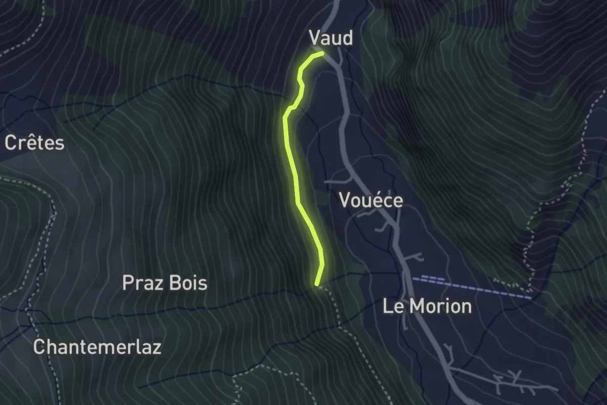
Easy · Trail
L'Allée Des Soupirs
2.1 km · ↑ 152 m · 49 min · 14 km away
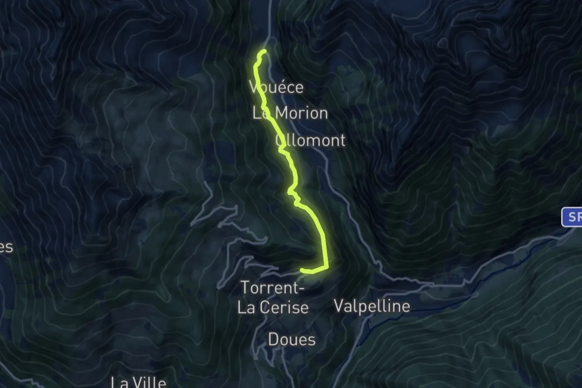
Medium · Trail
Ru du Mont: da Vaud a Chatelair (Doues)
9.6 km · ↑ 772 m · 3 h 57 min · 14 km away
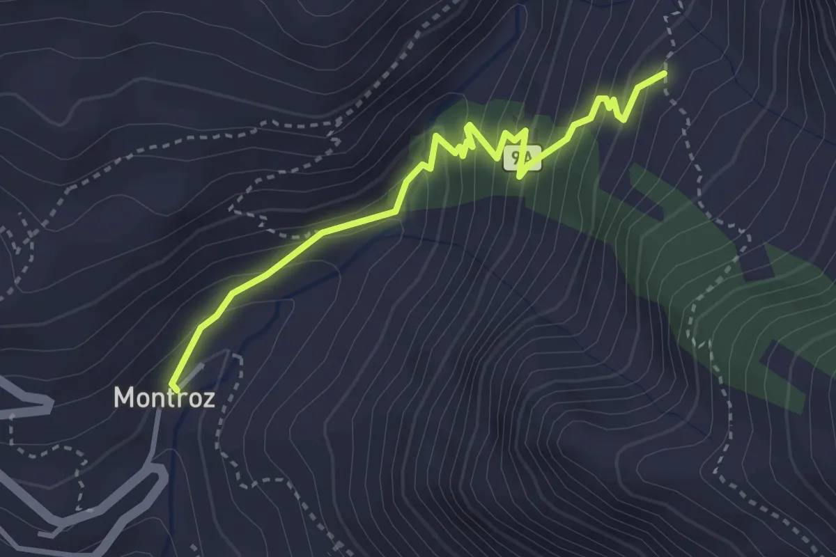
Medium · Trail
Montroz – Percorso 8D
3.4 km · ↑ 294 m · 1 h 26 min · 14 km away
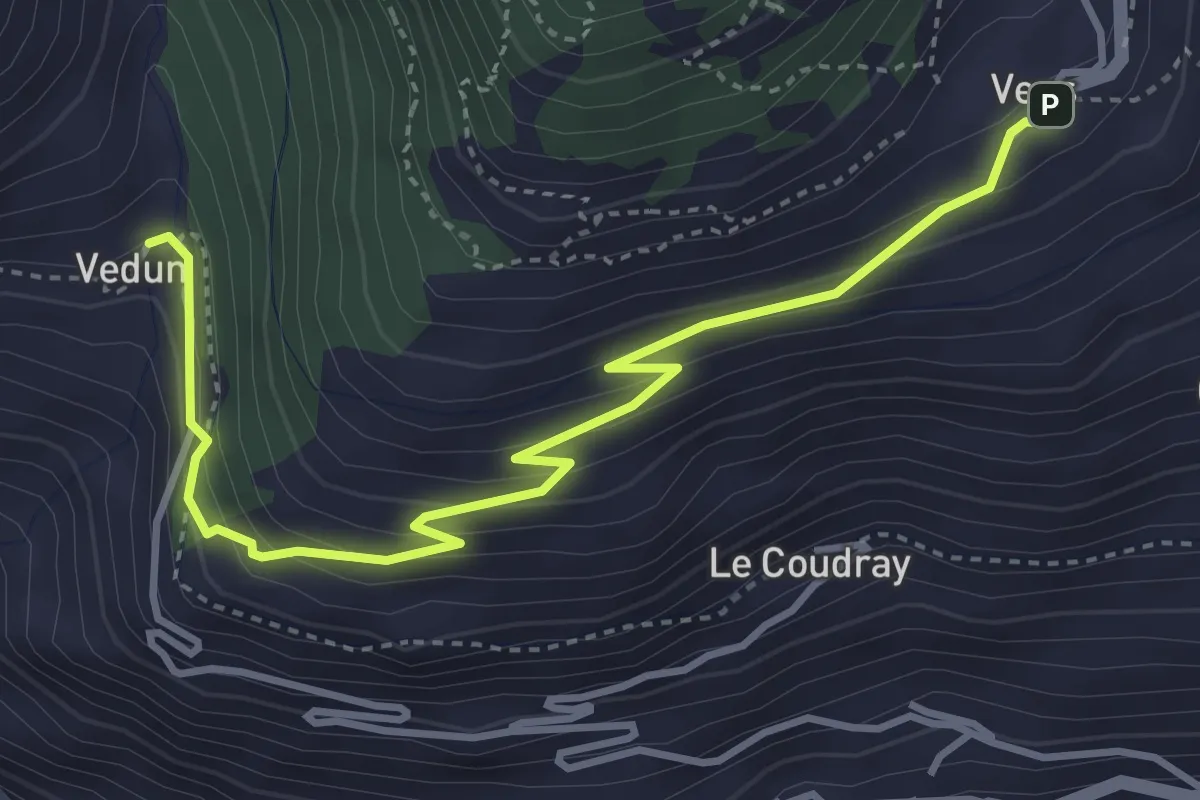
Medium · Trail
Vedun – Vens
4.4 km · ↑ 308 m · 1 h 42 min · 14 km away
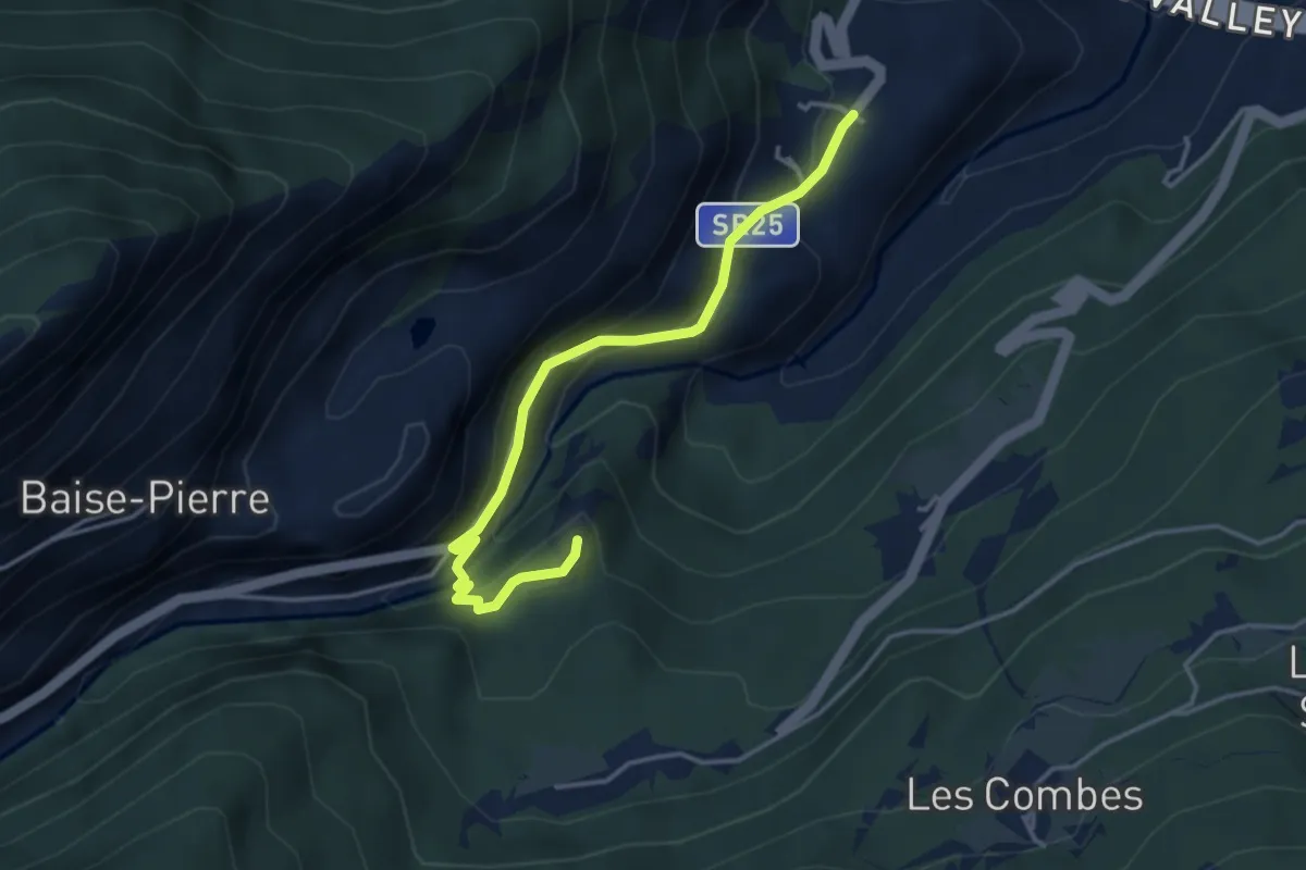
Medium · Trail
La Ravoire – Castello di Montmayeur
3.9 km · ↑ 285 m · 1 h 32 min · 14 km away
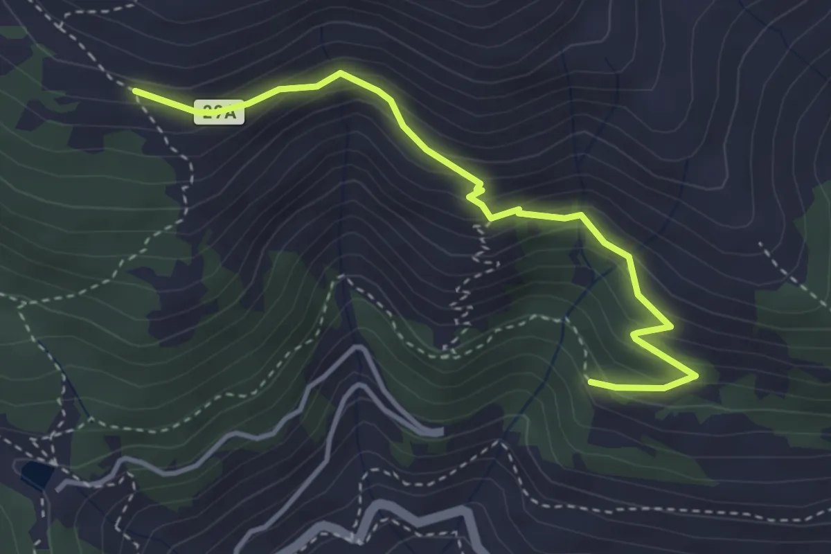
Medium · Trail
Percorso 29 – Barmaveraz
3.7 km · ↑ 328 m · 1 h 35 min · 14 km away
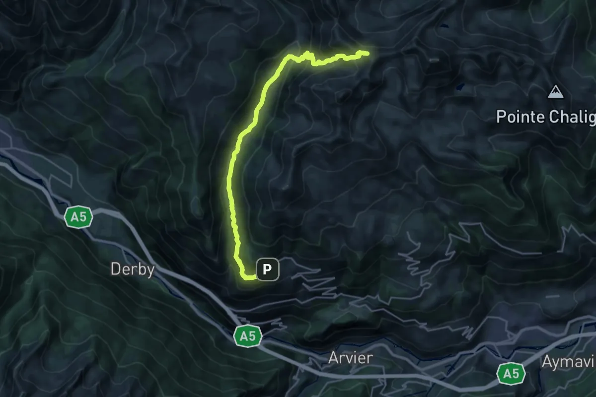
Demanding · Trail
Vens – Colle di Vertosan
21.2 km · ↑ 1306 m · 7 h 50 min · 14 km away
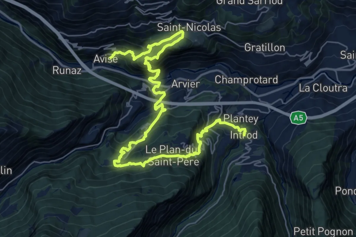
Demanding · Trail
Cammino Balteo (Bassa Via della Valle d'Aosta), Tappa 15
15.2 km · ↑ 1204 m · 6 h 22 min · 14 km away
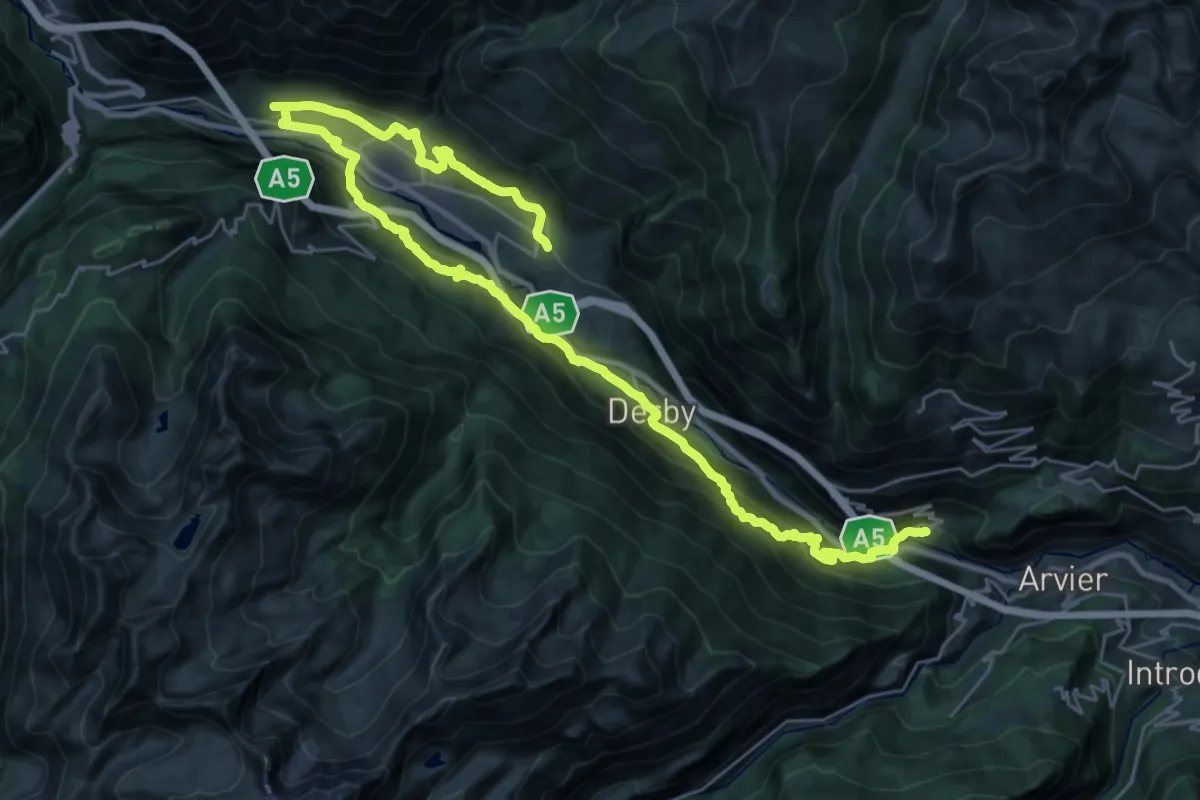
Demanding · Trail
Cammino Balteo (Bassa Via della Valle d'Aosta), Tappa 14
20.2 km · ↑ 1075 m · 7 h 16 min · 14 km away
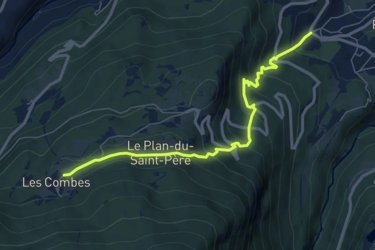
Medium · Trail
Ville Dessous – Combes
6.2 km · ↑ 479 m · 2 h 30 min · 14 km away
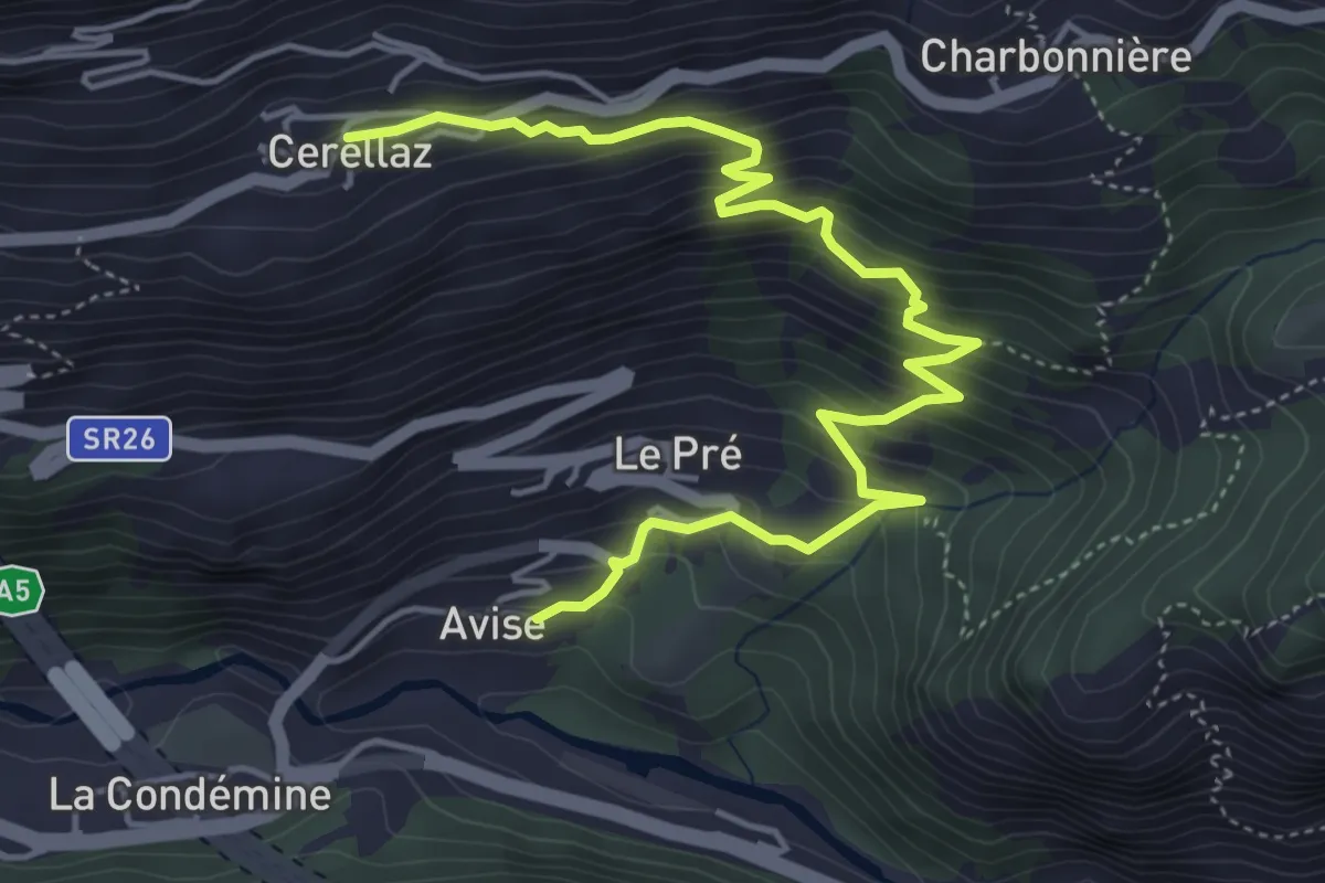
Medium · Trail
Avise – Cerellaz
5.8 km · ↑ 579 m · 2 h 38 min · 14 km away
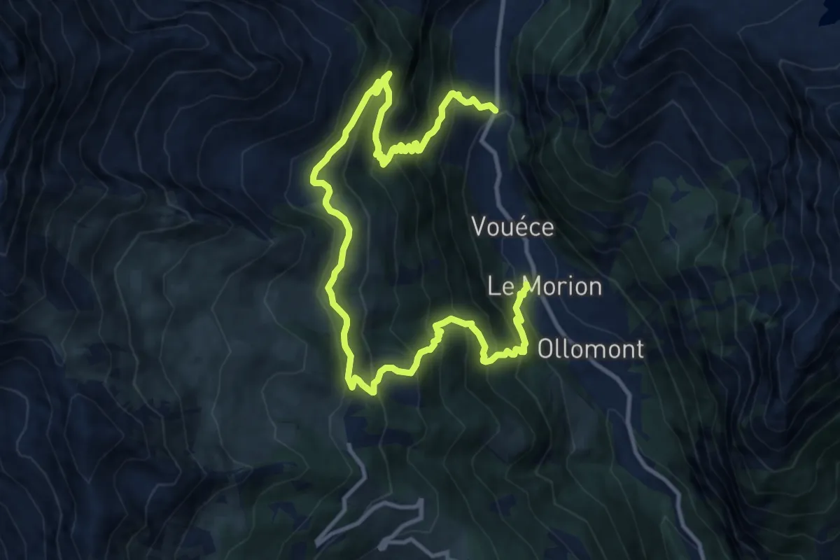
Demanding · Trail
Mont Rion – Vaud, Foyer des Guides
15.9 km · ↑ 1396 m · 6 h 47 min · 14 km away
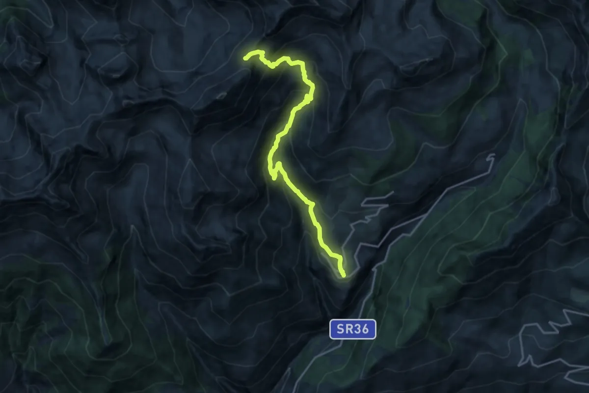
Expert · Trail
Lignan – Col de Vessonaz
15.7 km · ↑ 1246 m · 6 h 25 min · 14 km away
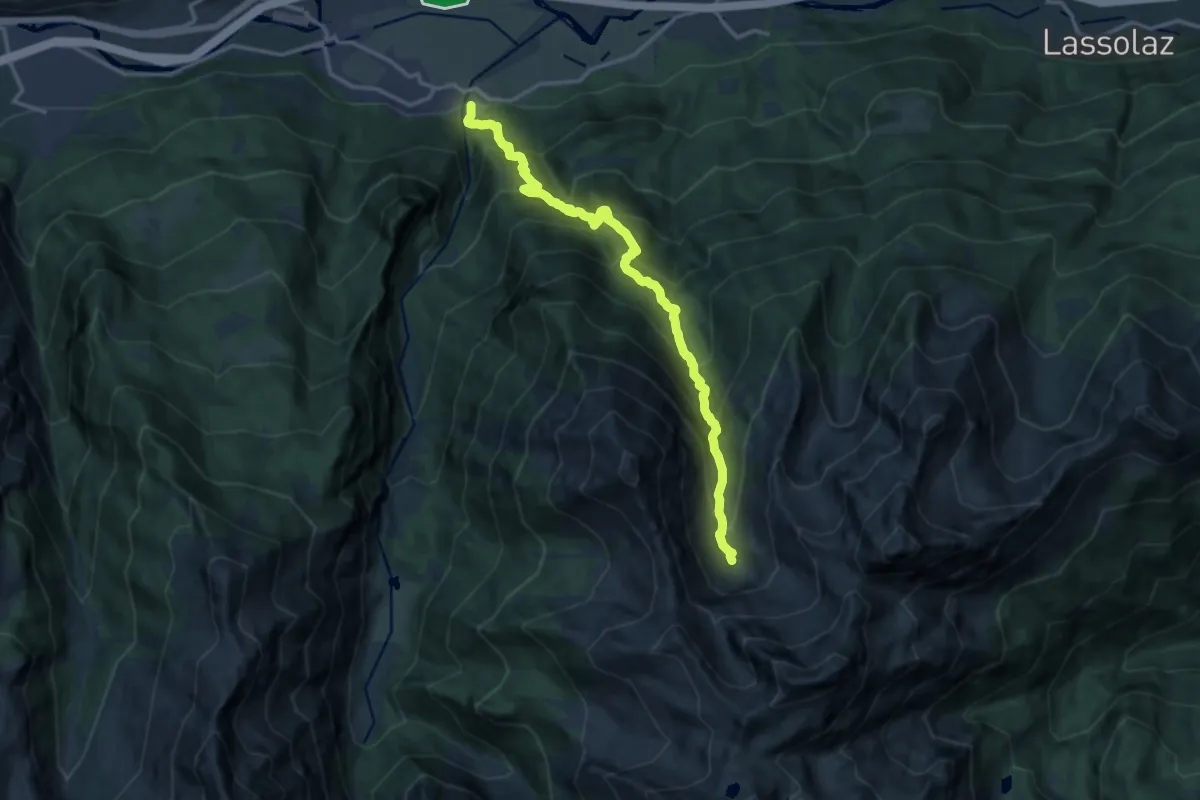
Demanding · Trail
Miserègne – Ponton
15.0 km · ↑ 1493 m · 6 h 46 min · 14 km away
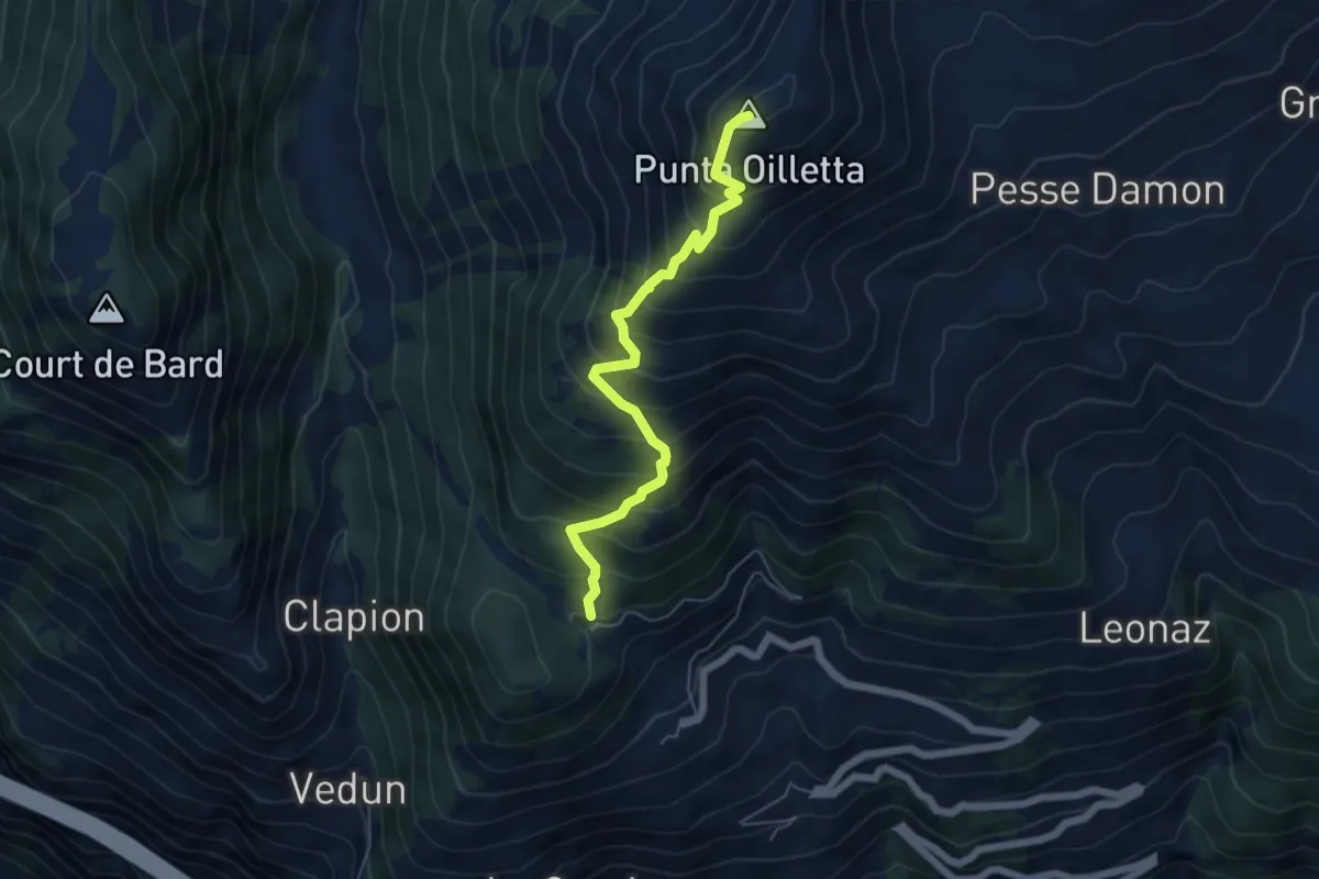
Medium · Summit
Lac du Joux – Pointe Aouillette
5.6 km · ↑ 691 m · 2 h 49 min · 14 km away
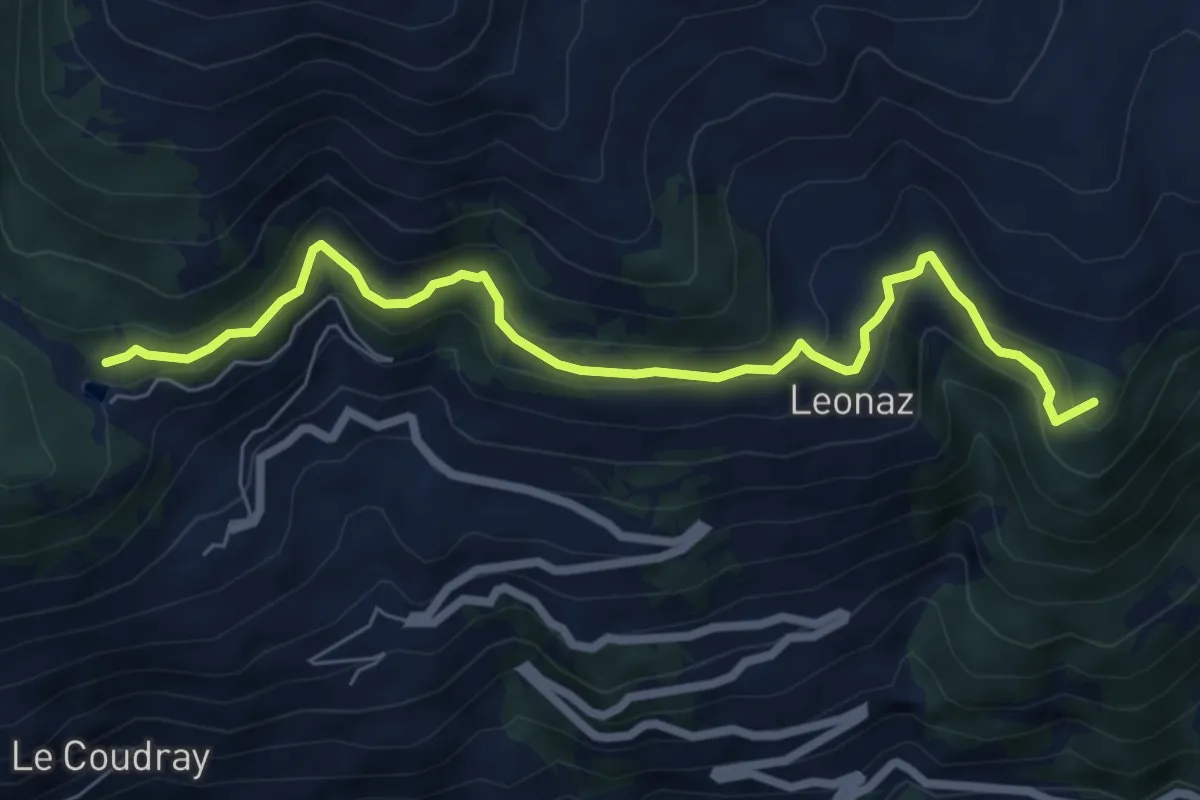
Medium · Summit
Vetan – Lago di Joux
7.3 km · ↑ 358 m · 2 h 29 min · 14 km away
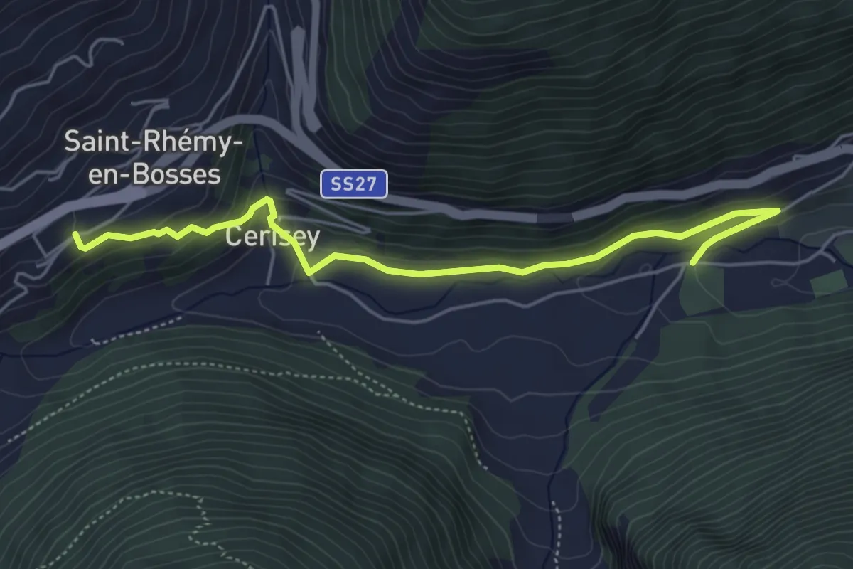
Easy · Trail
Saint-Oyen – Saint-Léonard
5.3 km · ↑ 213 m · 1 h 43 min · 14 km away
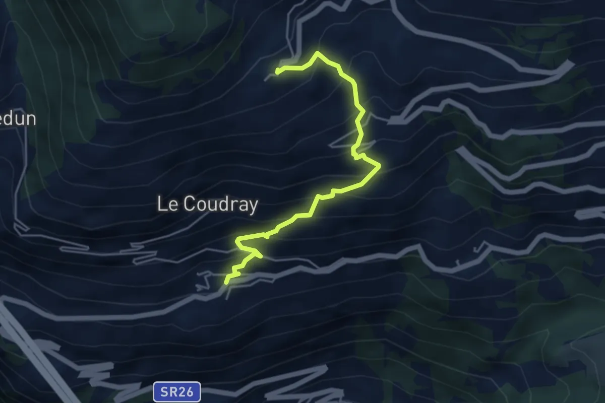
Medium · Trail
Cerellaz – Vens
4.3 km · ↑ 483 m · 2 h 3 min · 14 km away
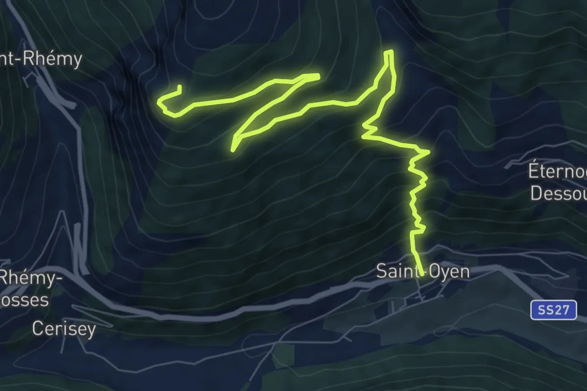
Demanding · Trail
Capoluogo – Plan Puitz
10.1 km · ↑ 828 m · 4 h 11 min · 14 km away
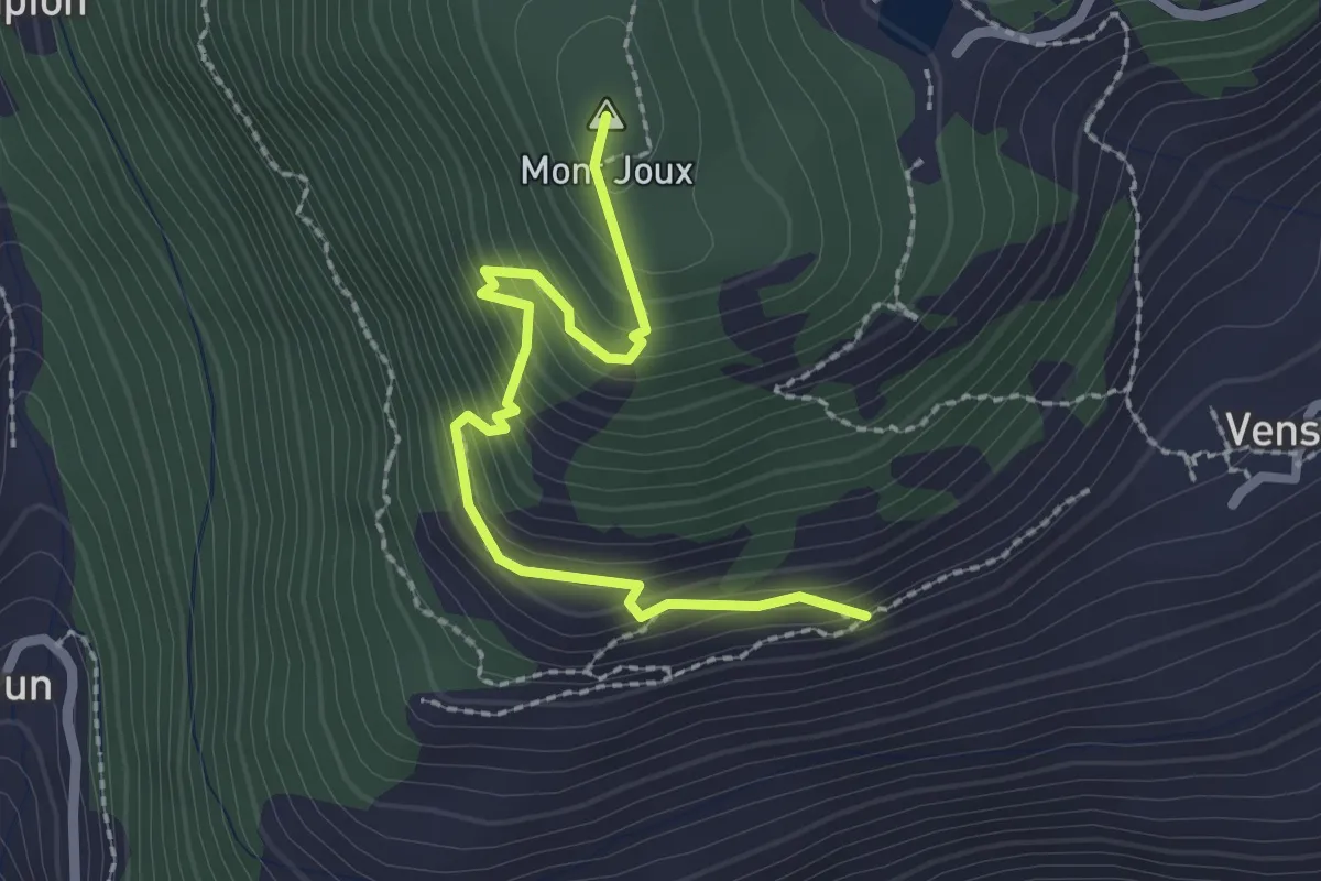
Medium · Summit
Vens – Col du Joux
2.4 km · ↑ 238 m · 1 h 5 min · 15 km away
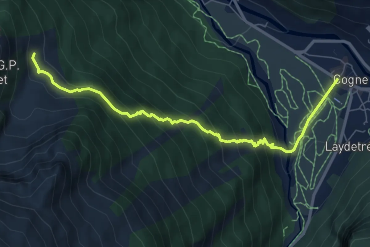
Medium · Trail
Prati di Sant'Orso - Buthier – Les Ors
6.4 km · ↑ 538 m · 2 h 40 min · 15 km away
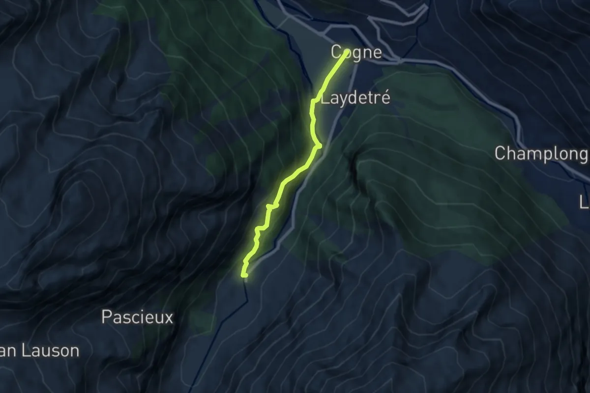
Medium · Trail
Prati di Sant'Orso - Buthier – Valnontey
6.2 km · ↑ 373 m · 2 h 16 min · 15 km away