Trails near Aosta - Aoste
261 hikes starting within 15 km, nearest first.
Nearest first, page 6 of 6
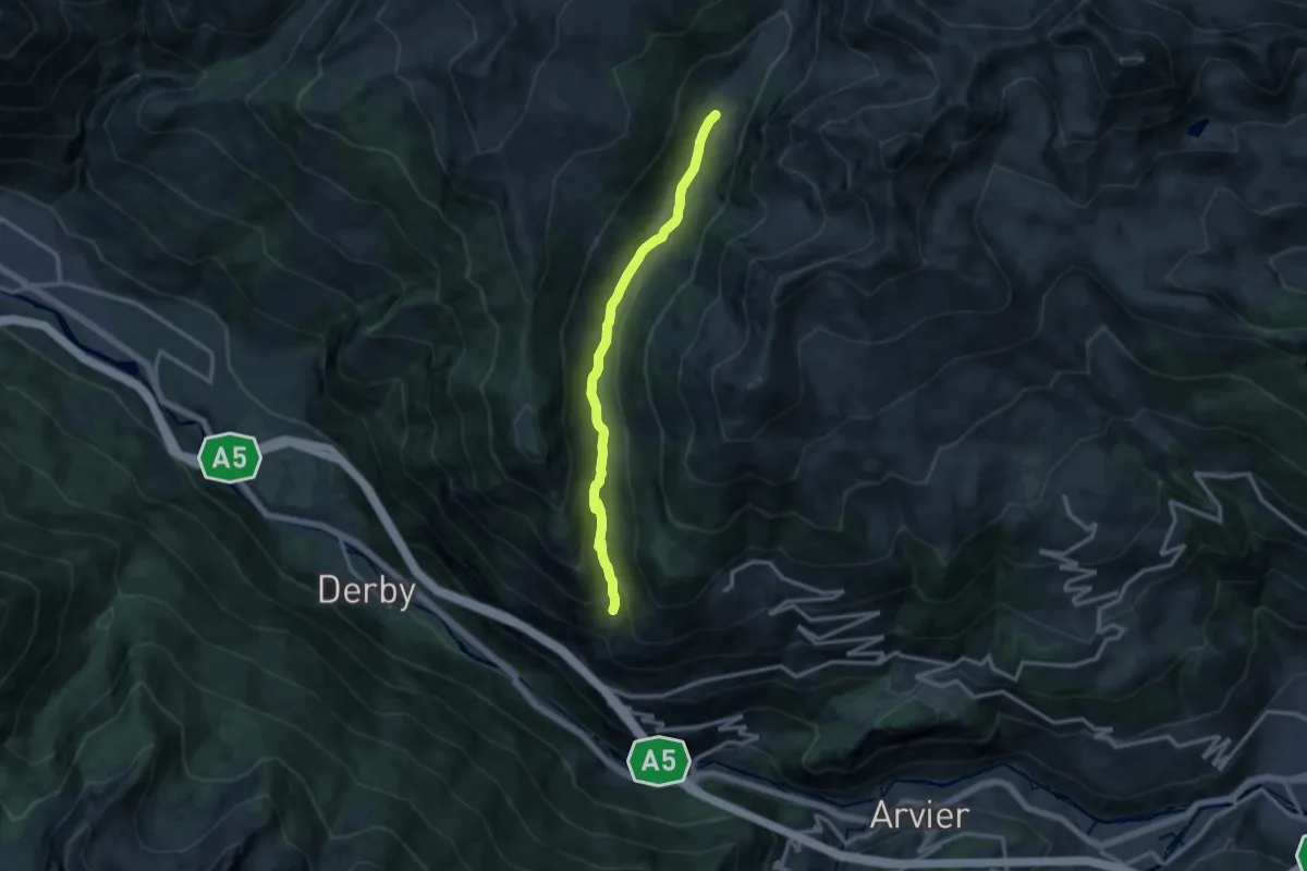
Medium · Trail
Vedun - Jovençan
12.1 km · ↑ 435 m · 3 h 48 min · 15 km away
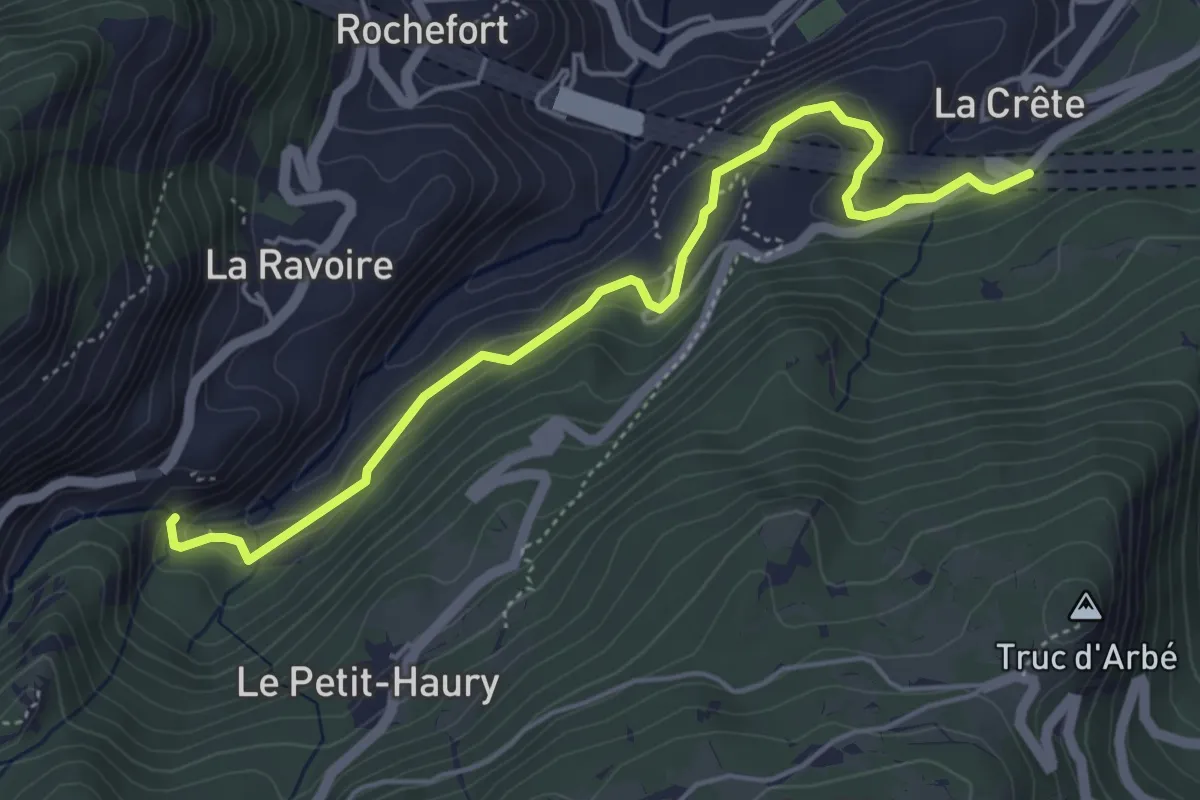
Demanding · Trail
Sentiero Ru de l'Eau Sourde
5.2 km · ↑ 306 m · 1 h 54 min · 15 km away
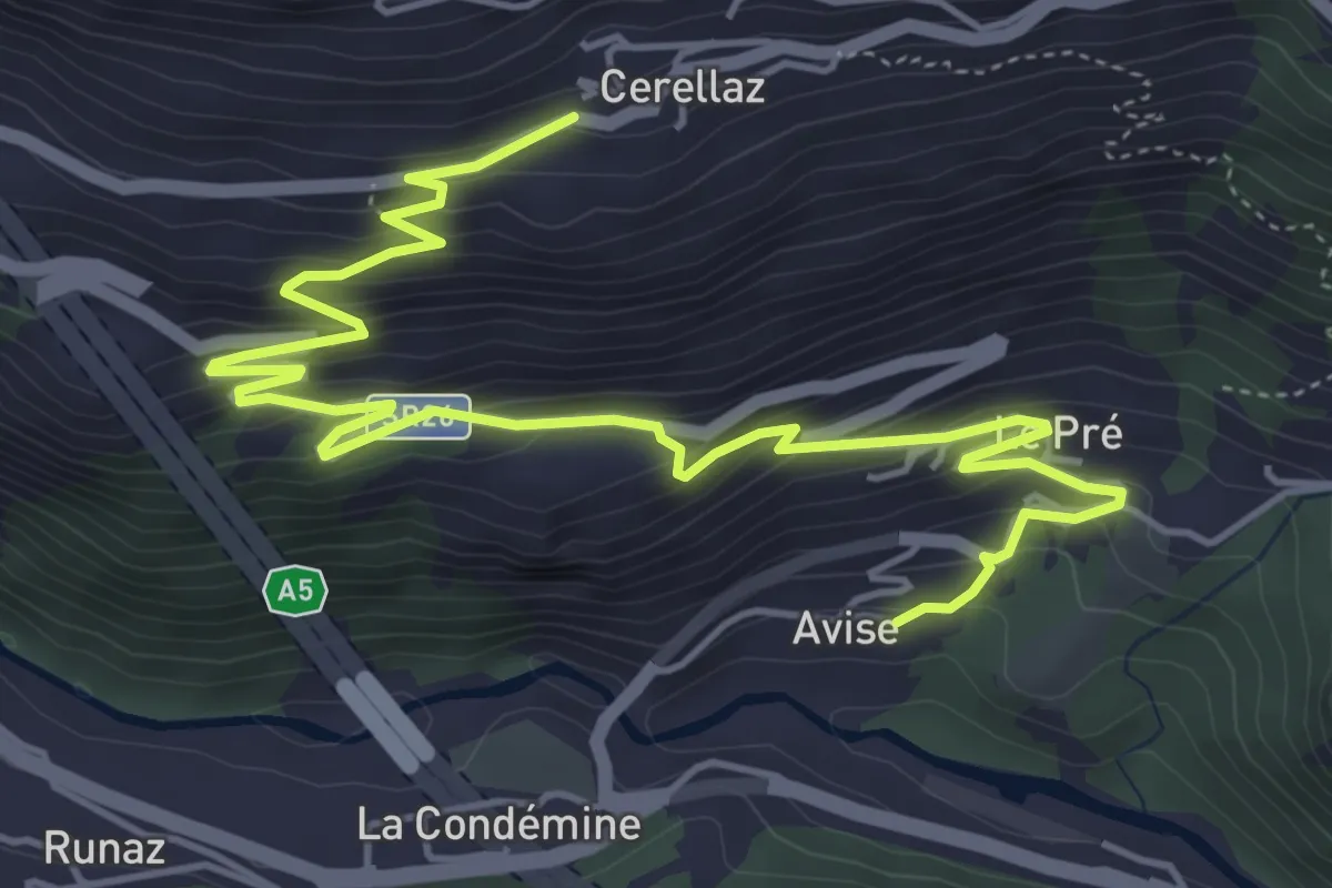
Medium · Trail
Avise – Cerellaz
7.1 km · ↑ 479 m · 2 h 43 min · 15 km away
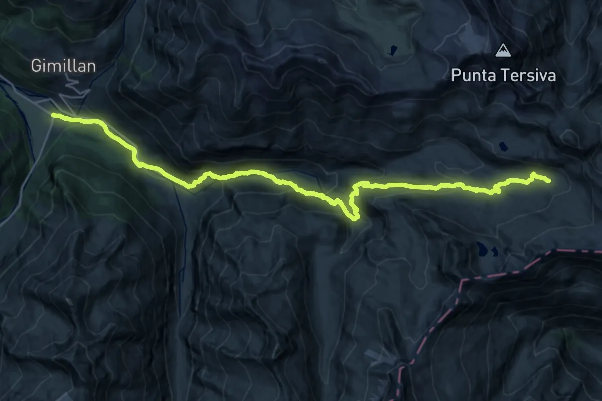
Demanding · Cabin
Alta Via n. 2 della Valle d'Aosta - Tappa 10
13.8 km · ↑ 1106 m · 5 h 22 min · 15 km away
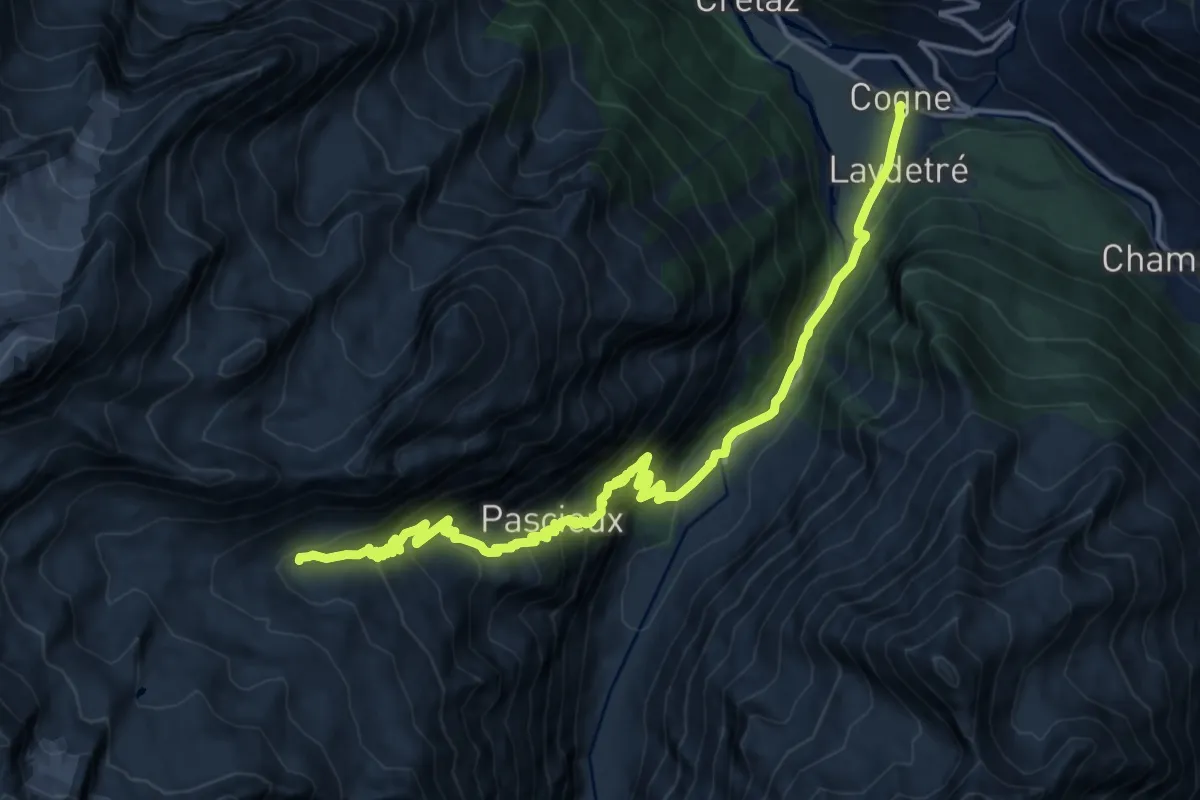
Demanding · Cabin
Alta Via n. 2 della Valle d'Aosta - Tappa 9
16.7 km · ↑ 1095 m · 6 h 19 min · 15 km away
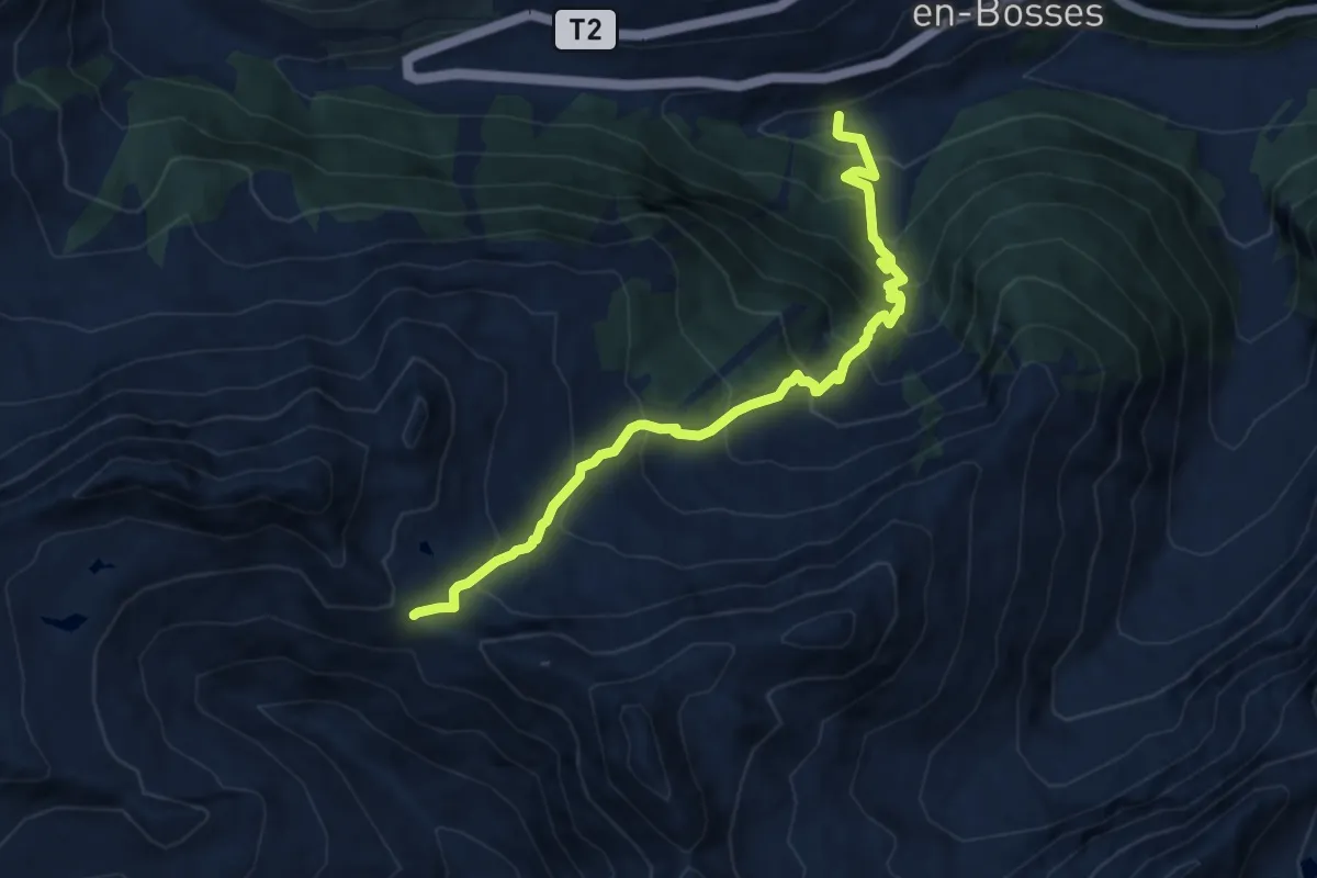
Demanding · Trail
Saint-Léonard – Mont Flassin
9.9 km · ↑ 1051 m · 4 h 37 min · 15 km away
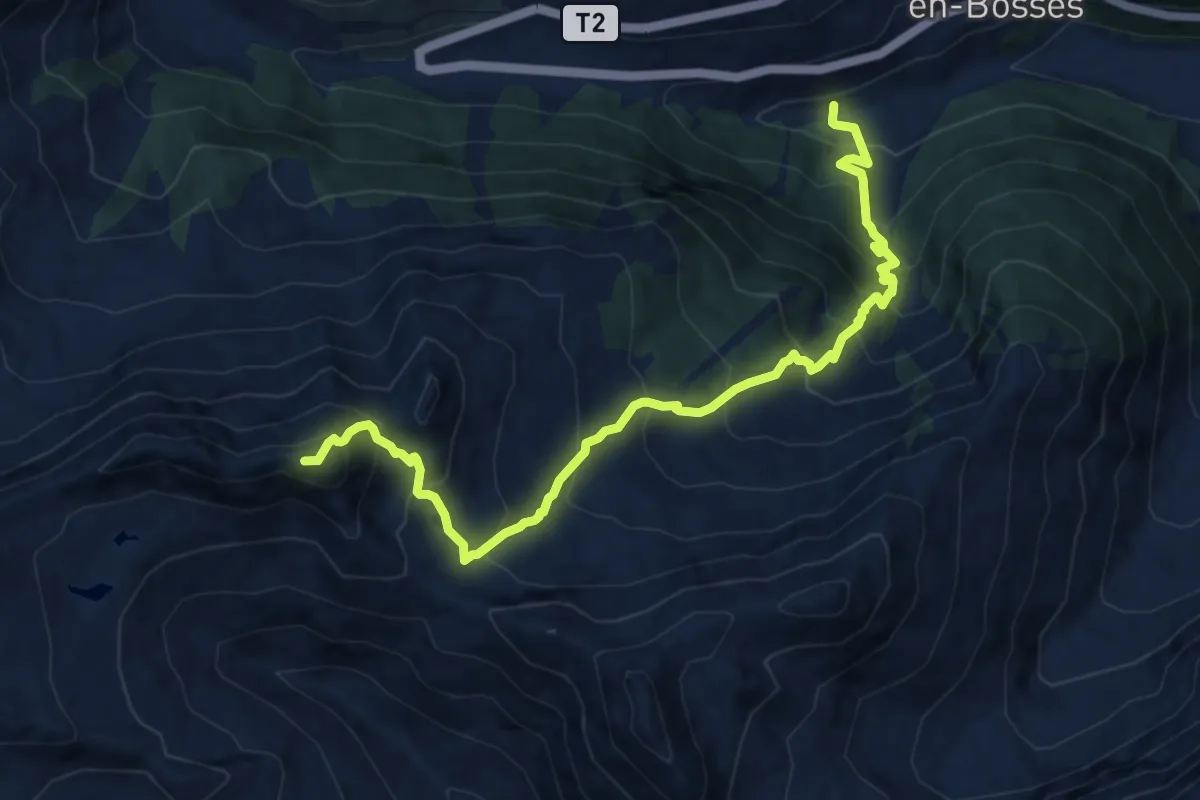
Expert · Summit
Saint-Léonard – Punta Valletta
12.2 km · ↑ 1348 m · 5 h 48 min · 15 km away
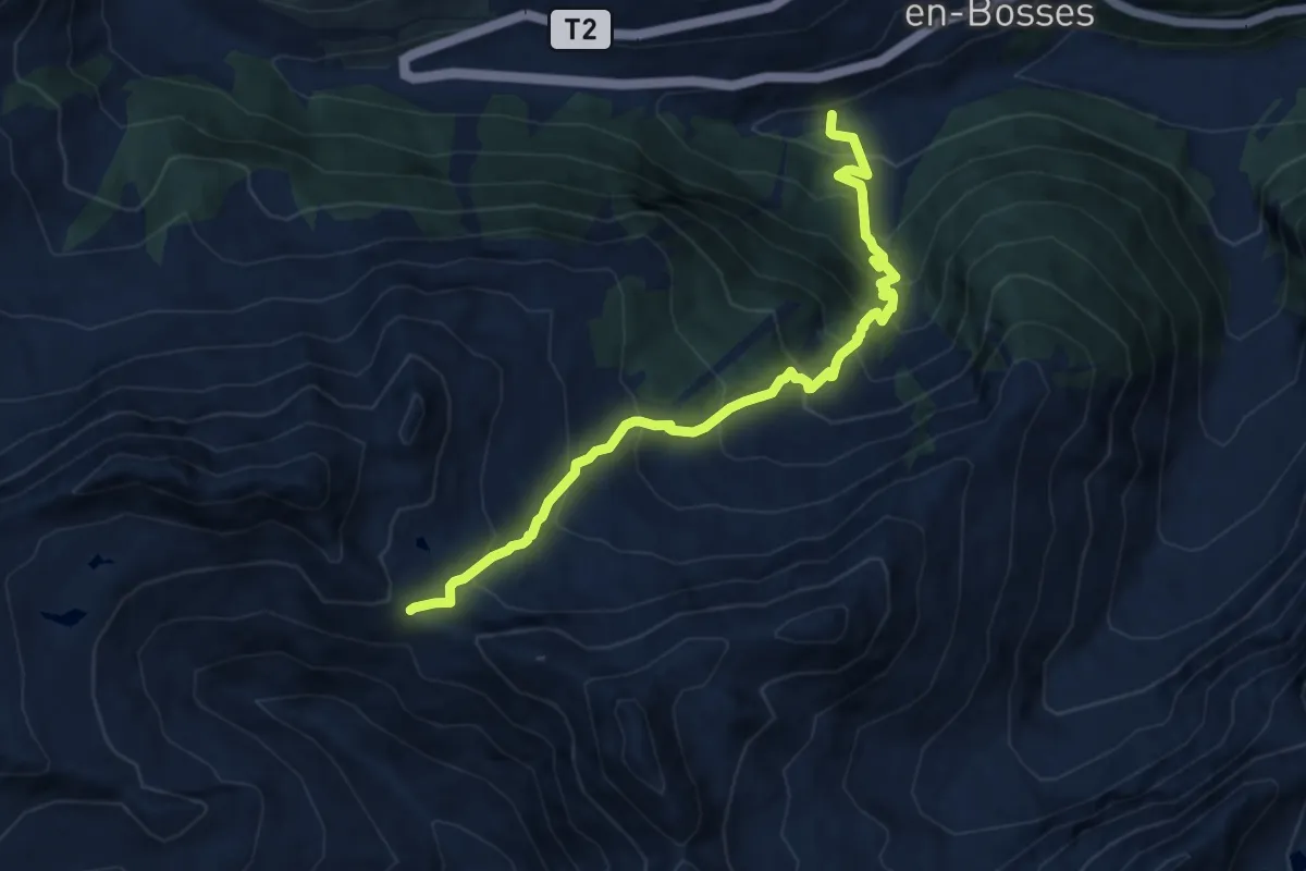
Demanding · Trail
Saint-Léonard – Col Citrin
9.9 km · ↑ 1051 m · 4 h 37 min · 15 km away
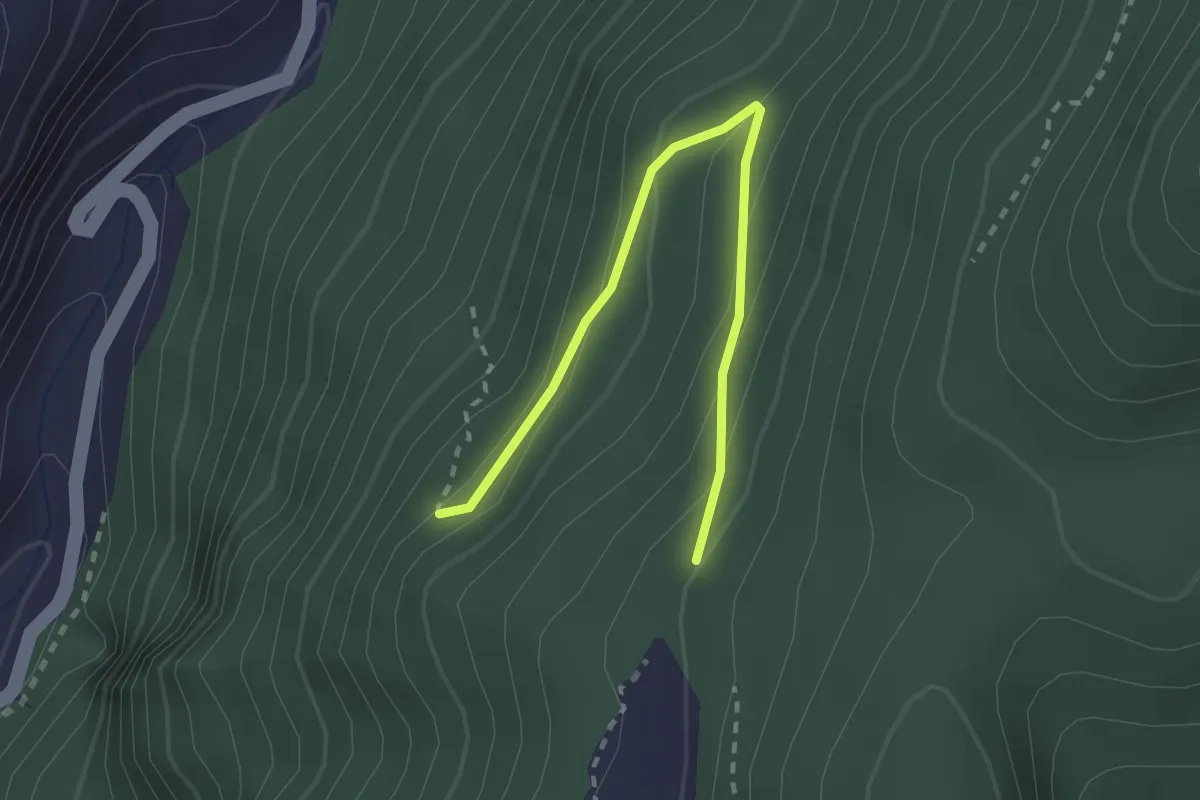
Easy · Trail
Percorso 3 – Percorso 5
2.5 km · ↑ 137 m · 53 min · 15 km away
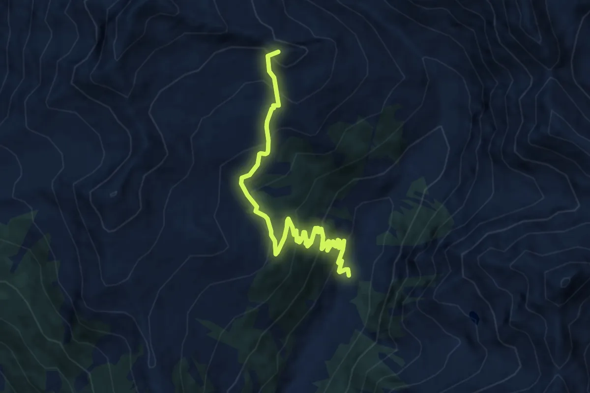
Medium · Summit
Bivio strada sterrata per Jovençan - Or de Fra - Lacs de Dziule
10.5 km · ↑ 702 m · 4 h 1 min · 15 km away
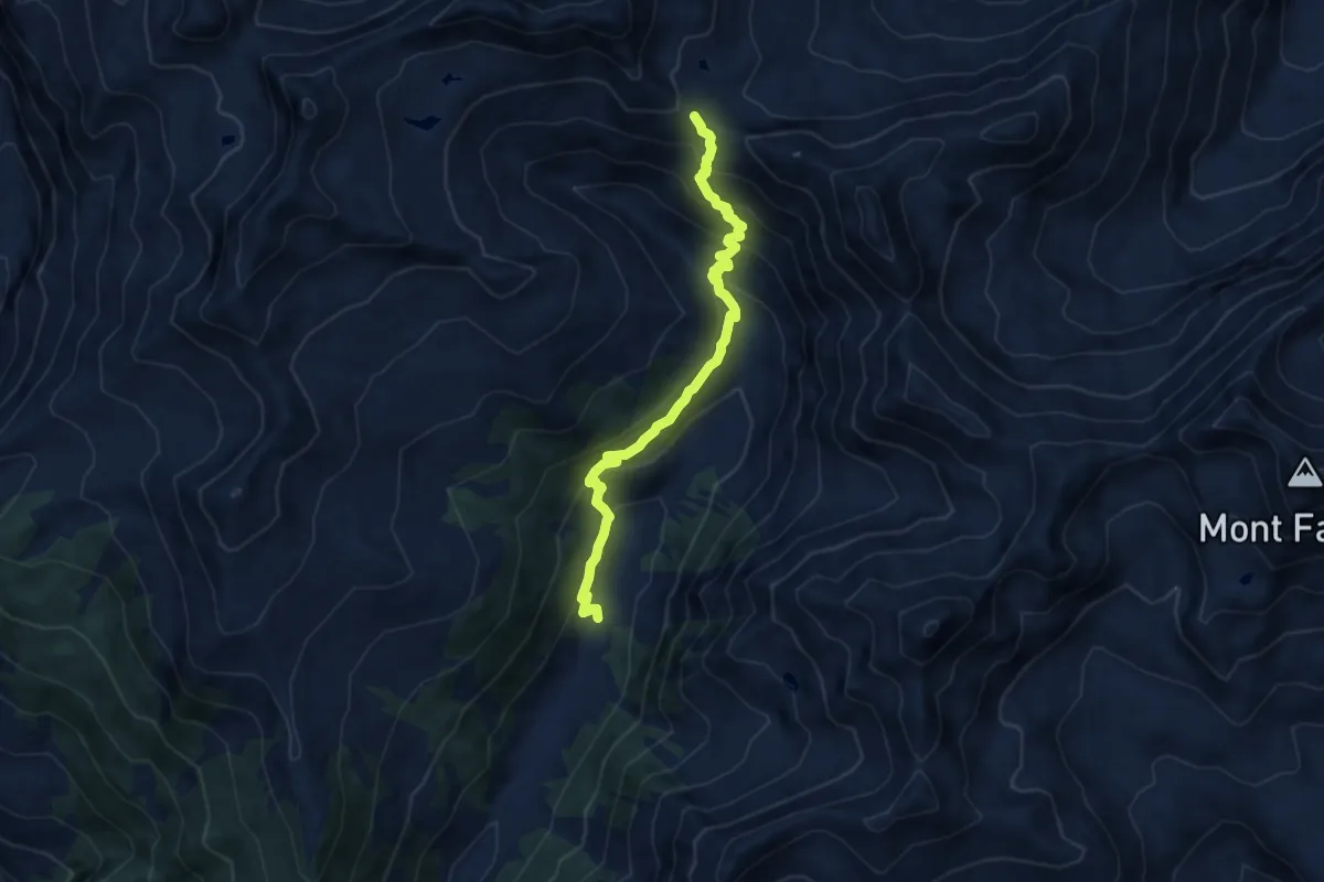
Medium · Trail
Bivio strada sterrata per Jovençan - Col Citrin
9.5 km · ↑ 690 m · 3 h 44 min · 15 km away
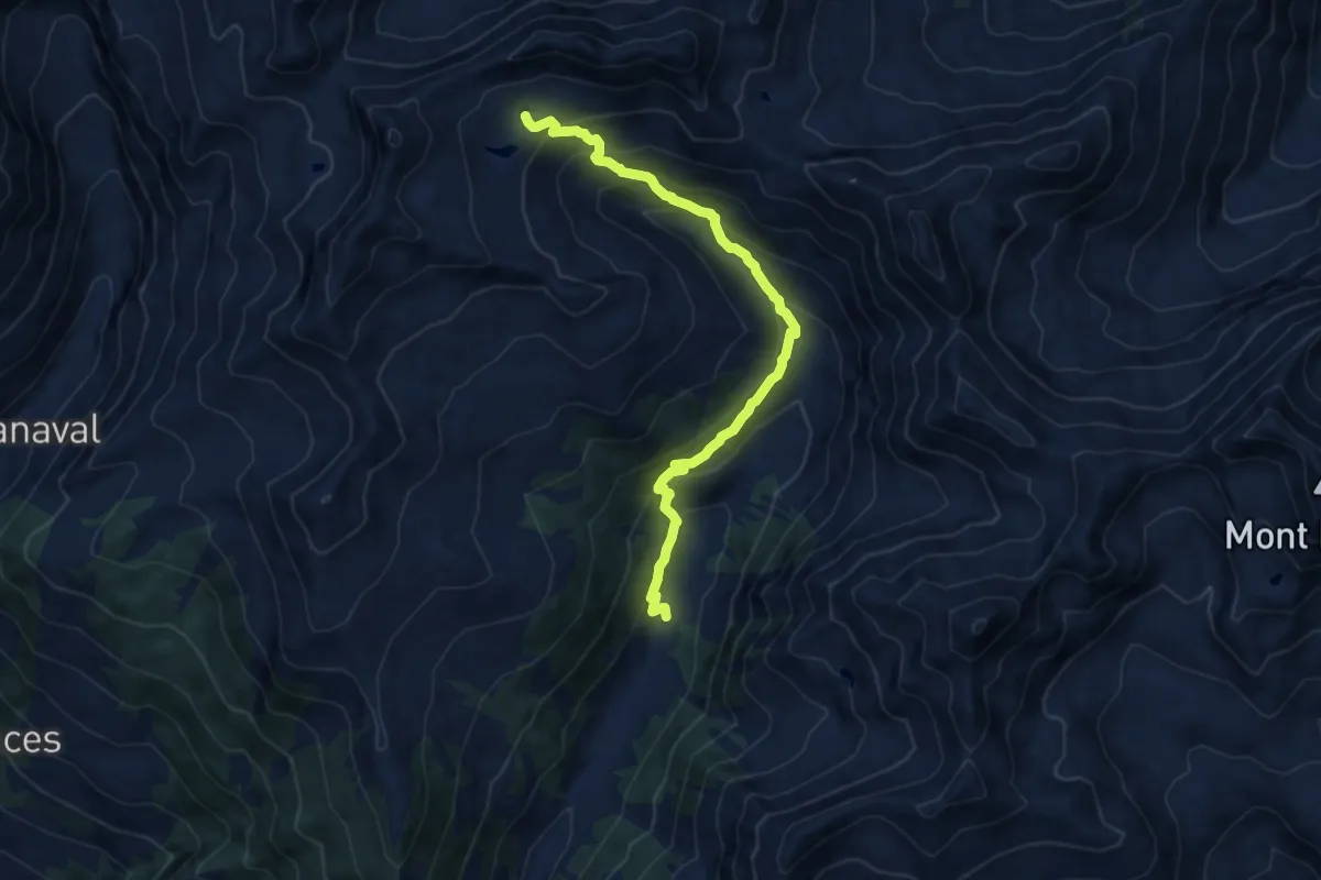
Medium · Cabin
Bivio strada sterrata per Jovençan - Lacs de Dziule
11.1 km · ↑ 797 m · 4 h 21 min · 15 km away
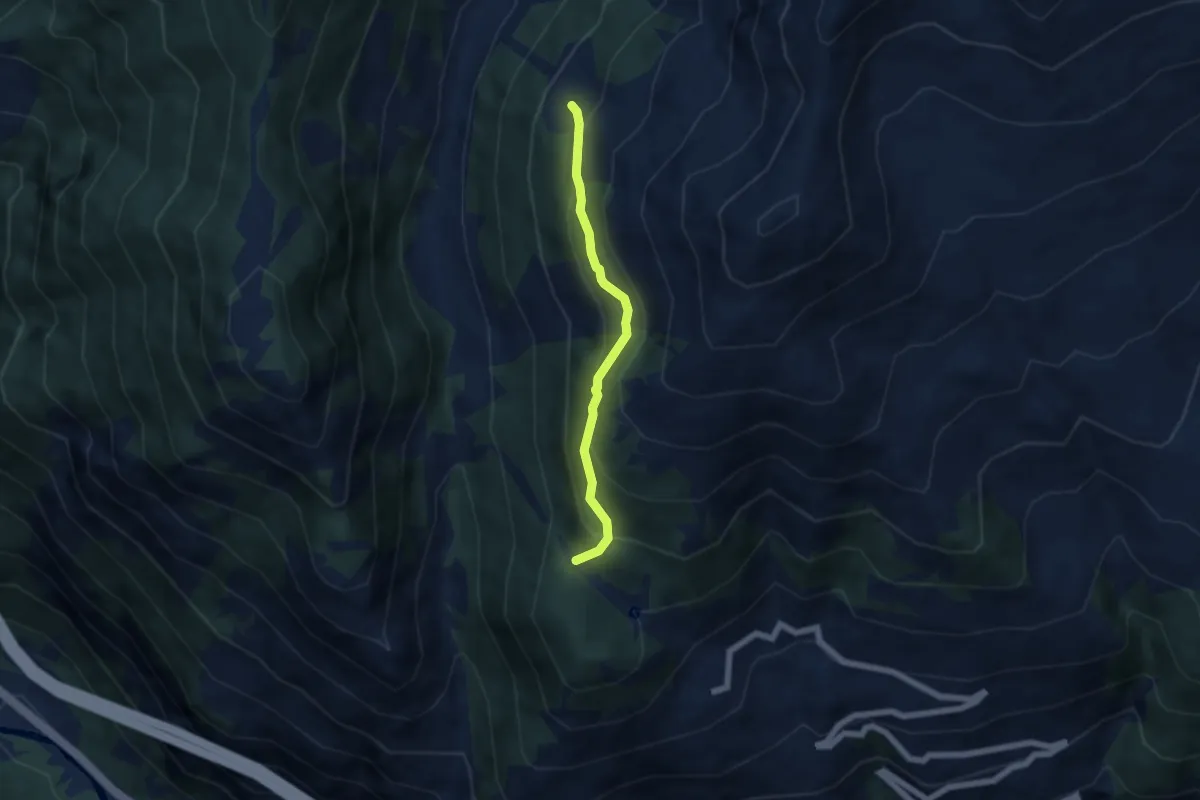
Medium · Trail
Col du Mont Joux – Alpe Bettex
4.8 km · ↑ 384 m · 1 h 58 min · 15 km away
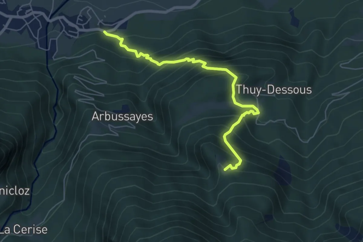
Medium · Trail
Rovarey – Thuy damon (Chambave)
5.7 km · ↑ 649 m · 2 h 45 min · 15 km away
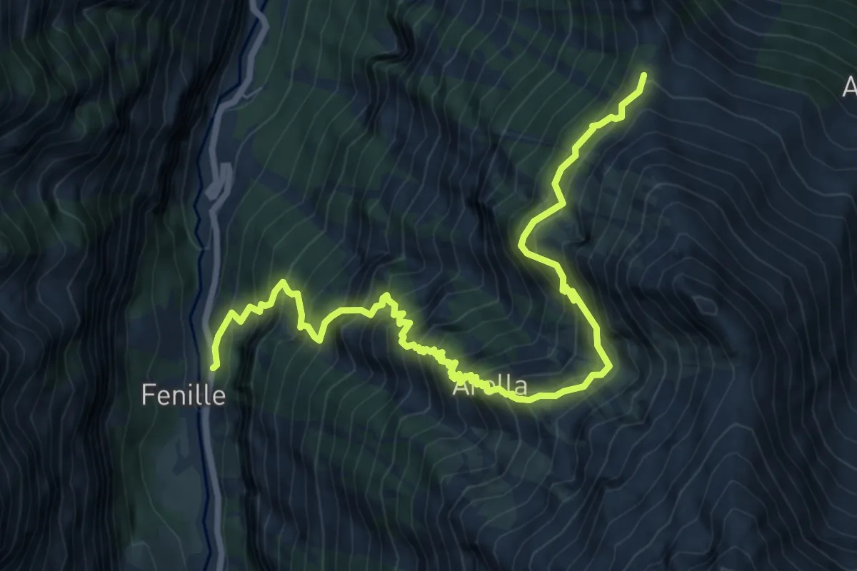
Demanding · Trail
Fenille – Colle - Becca Plana
9.3 km · ↑ 1526 m · 5 h 30 min · 15 km away
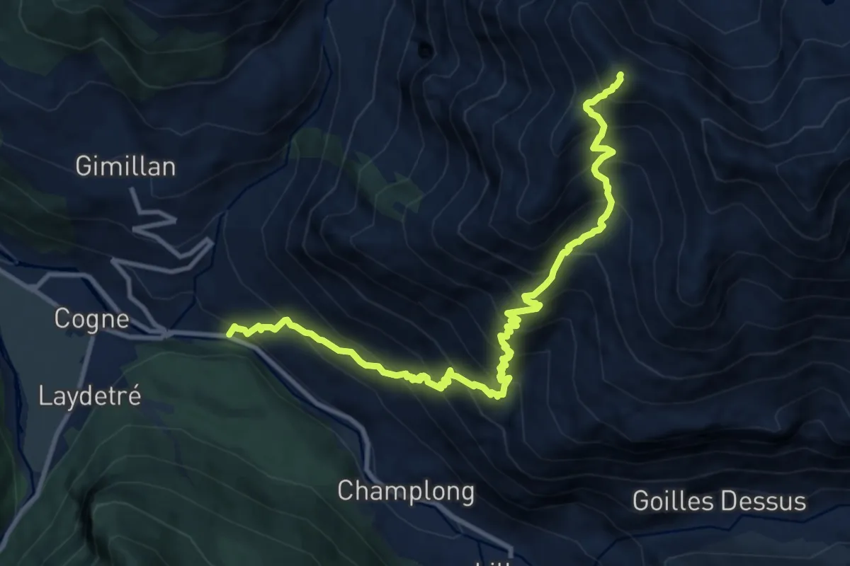
Demanding · Summit
Moline – Monte Creya
11.8 km · ↑ 1445 m · 5 h 56 min · 15 km away
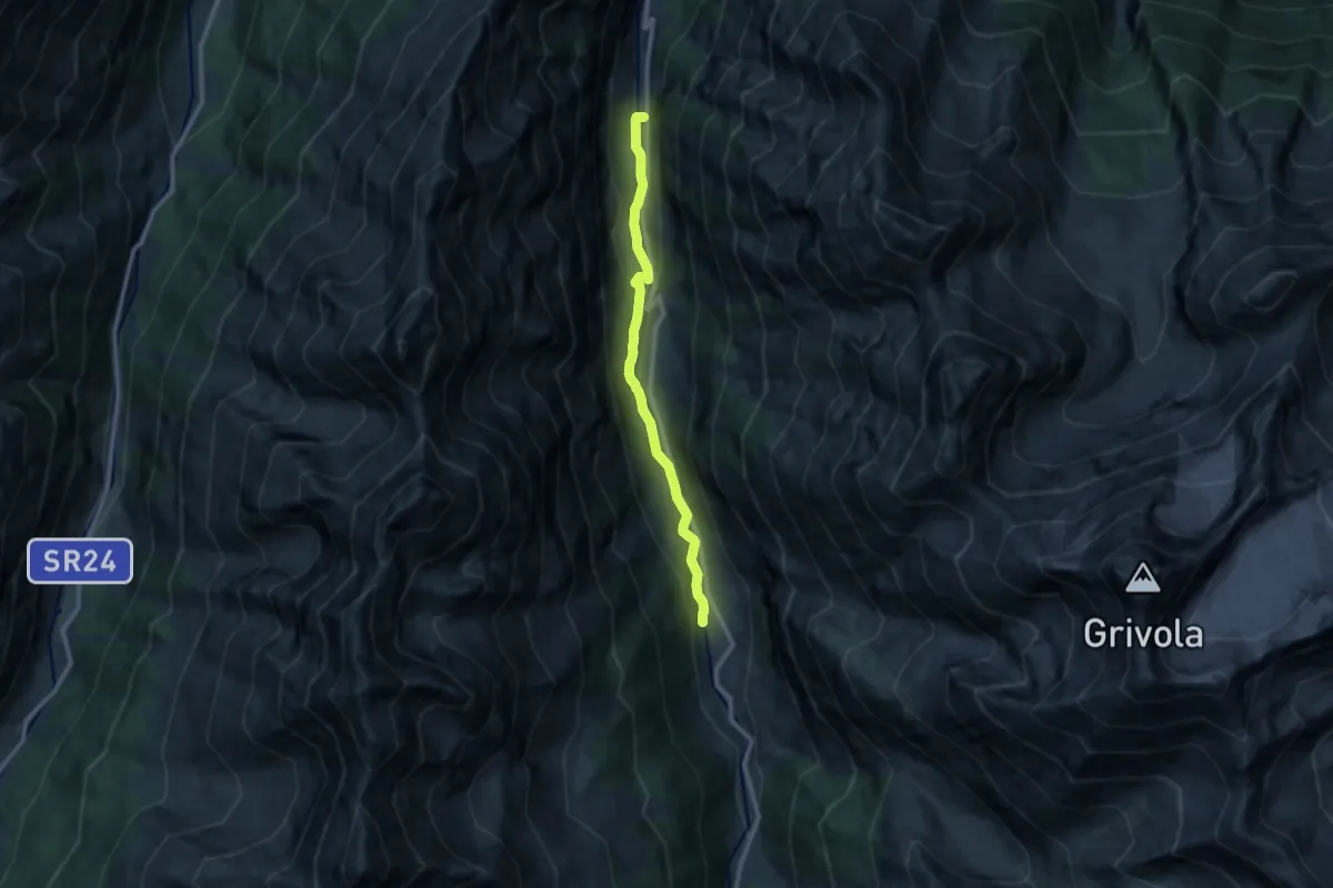
Medium · Trail
Fenille – Dégioz
10.1 km · ↑ 333 m · 3 h 7 min · 15 km away
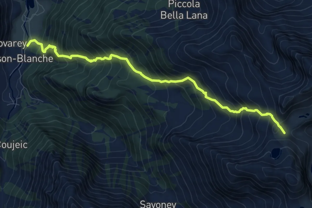
Demanding · Trail
Maisonnasse – Col de Raye Chevrère
9.9 km · ↑ 1223 m · 4 h 59 min · 15 km away
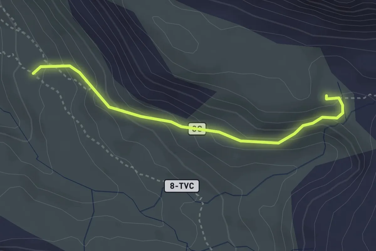
Expert · Cabin
Percorso 8 – Bivacco Muggia-Glarey
3.1 km · ↑ 230 m · 1 h 14 min · 15 km away
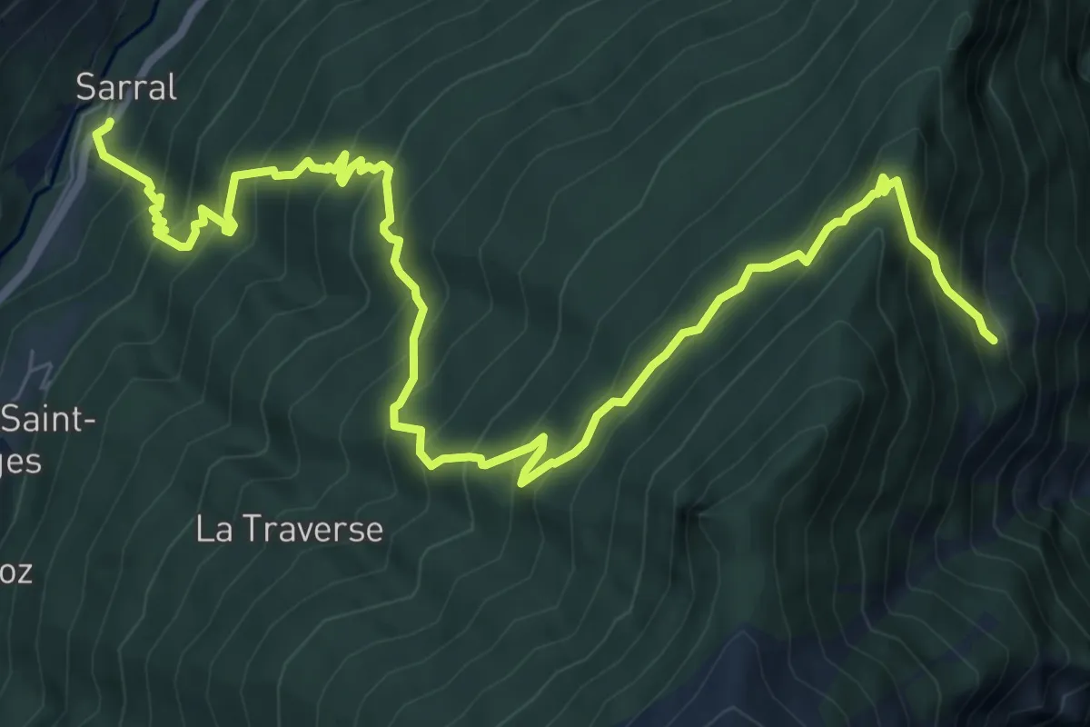
Demanding · Cabin
Sarral – Arpilles
10.5 km · ↑ 1129 m · 4 h 56 min · 15 km away
Medium · Summit
Cogne – Belvedere
6.6 km · ↑ 766 m · 3 h 14 min · 15 km away