Trails near Arco
167 hikes starting within 15 km, nearest first.
Nearest first, page 1 of 4
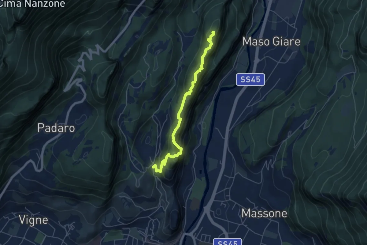
Medium · Summit
Sentiero attrezzato del Monte Colt
5.1 km · ↑ 376 m · 2 h 2 min · 1 km away
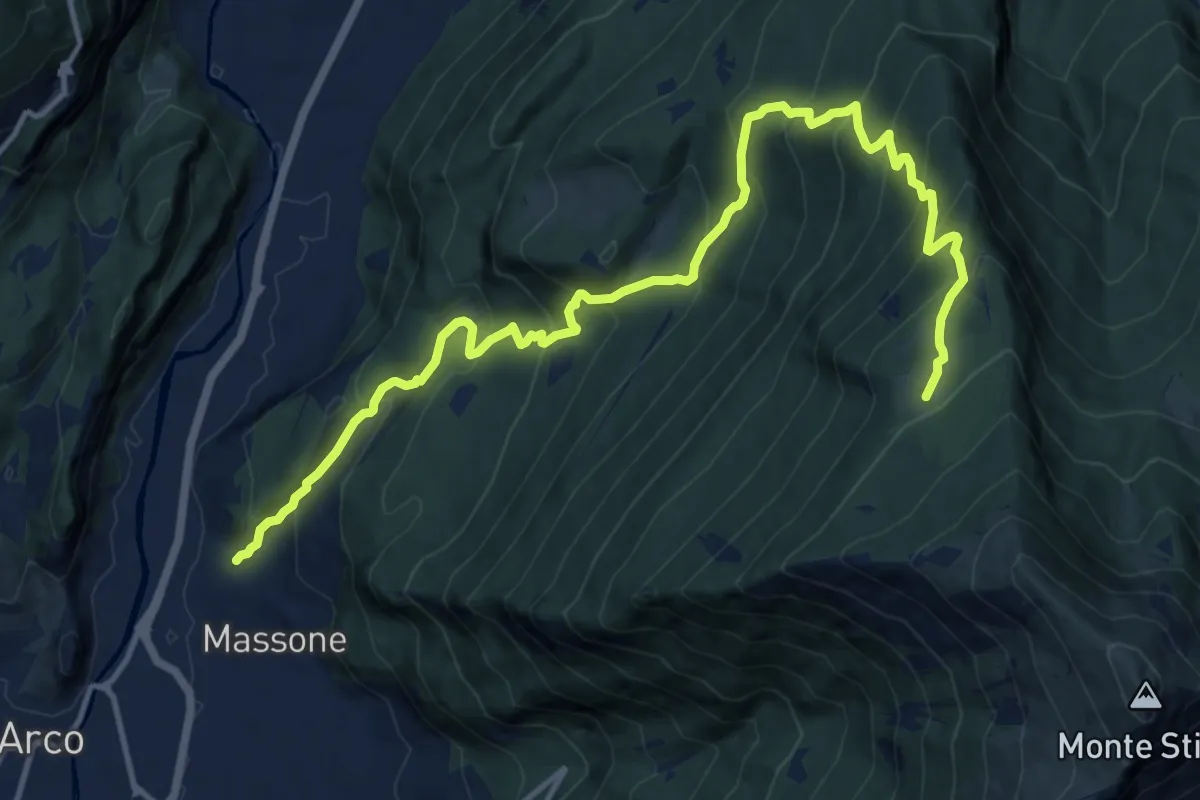
Demanding · Trail
Sentiero di Vallestrè
15.9 km · ↑ 1358 m · 6 h 41 min · 1 km away
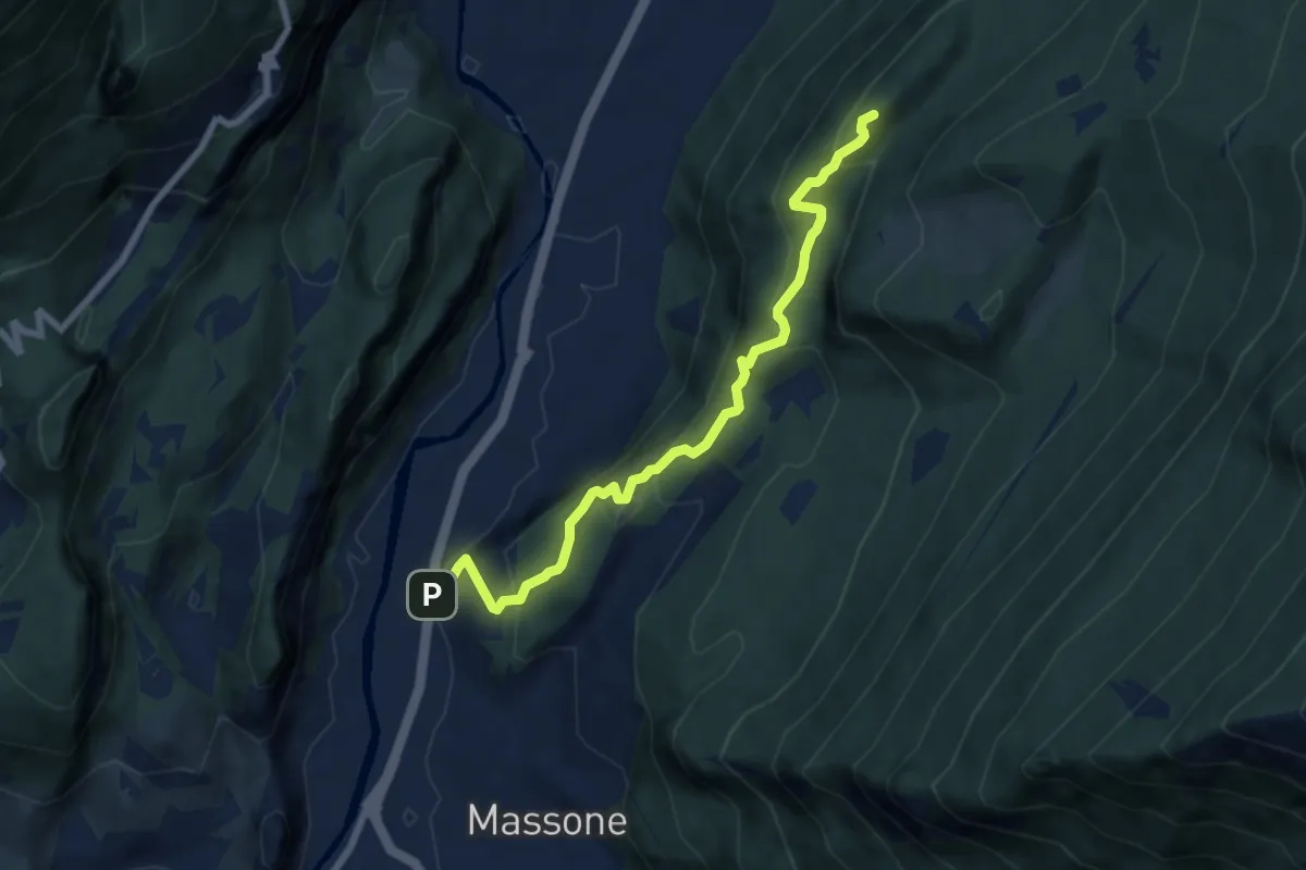
Medium · Summit
Sentiero attrezzato della Maestra "Caterina Tantardini Bombardelli"
7.4 km · ↑ 530 m · 2 h 54 min · 2 km away
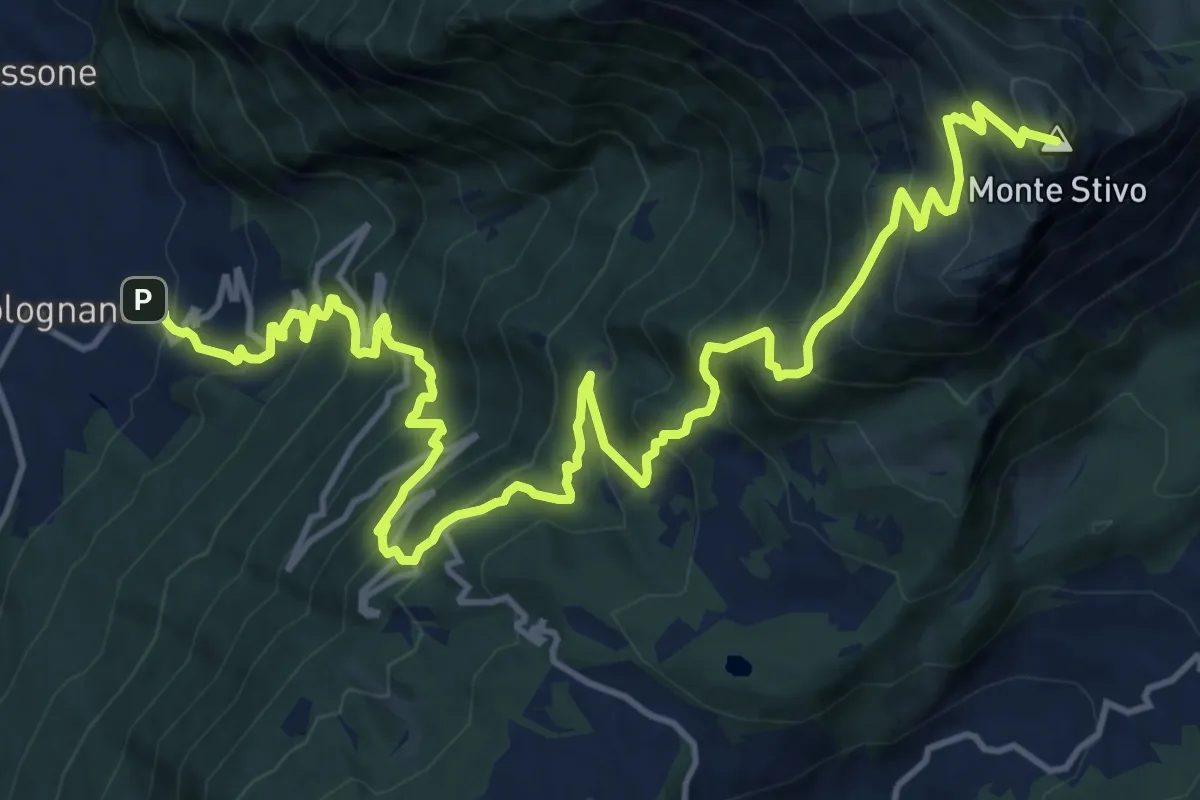
Demanding · Summit
Bolognano D'Arco - Istituto Missionario – Rifugio Stivo "Prospero Marchetti" (bivio 617 - 617B)
20.5 km · ↑ 1926 m · 9 h 1 min · 2 km away
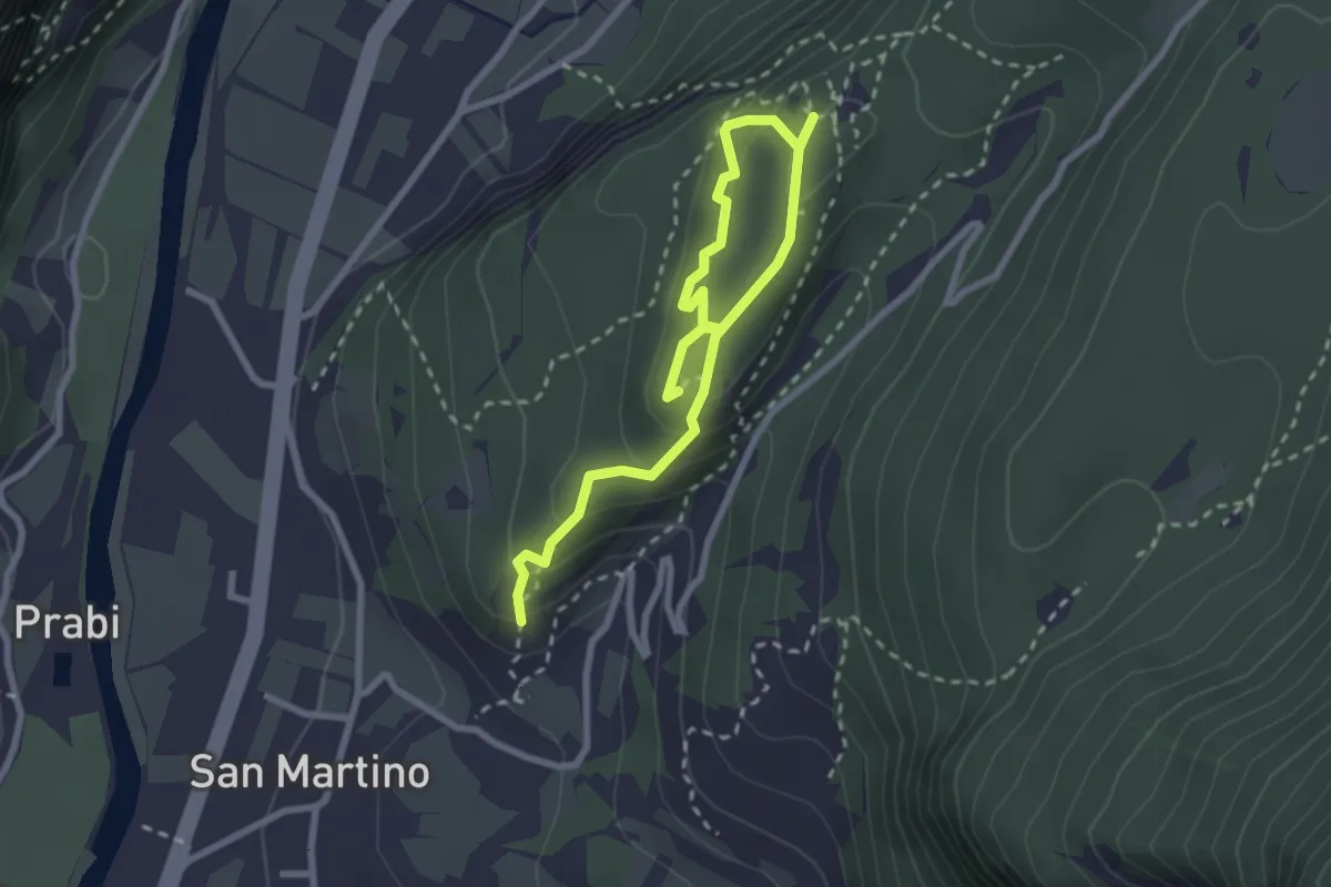
Easy · Trail
Anello delle Trincee
3.4 km · ↑ 246 m · 1 h 21 min · 2 km away
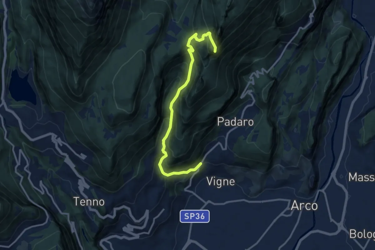
Demanding · Summit
Bivio strada Varignano - Padaro – Quota 1123
9.6 km · ↑ 895 m · 4 h 12 min · 2 km away
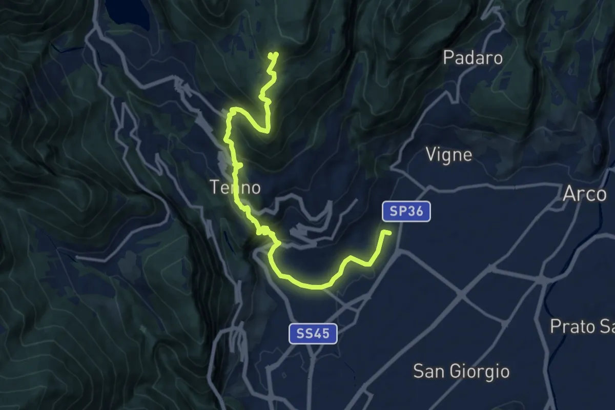
Demanding · Cabin
Sentiero Frassati - Tappa 1
12.7 km · ↑ 950 m · 5 h 4 min · 2 km away
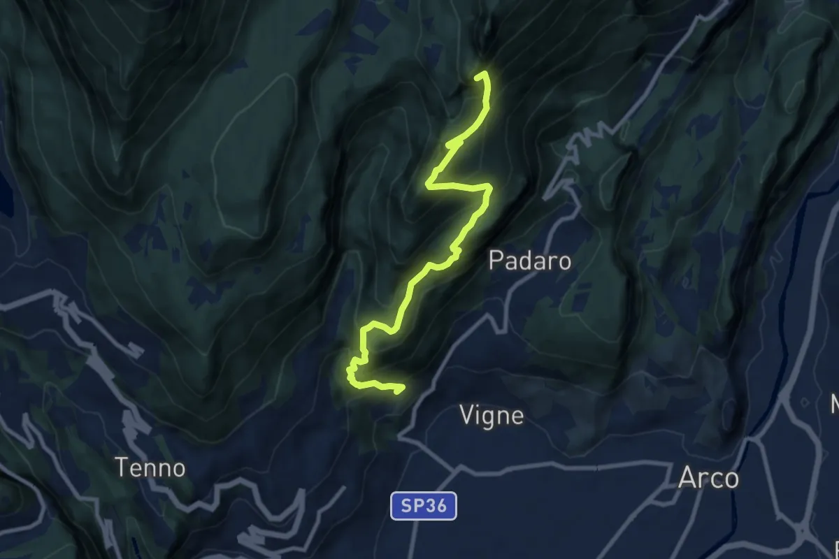
Demanding · Summit
Sentiero Piazzole
8.7 km · ↑ 1139 m · 4 h 31 min · 2 km away
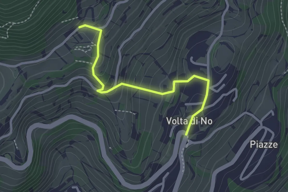
Medium · Trail
Volta di Nò – Vandrino (bivio 480)
2.3 km · ↑ 170 m · 55 min · 3 km away
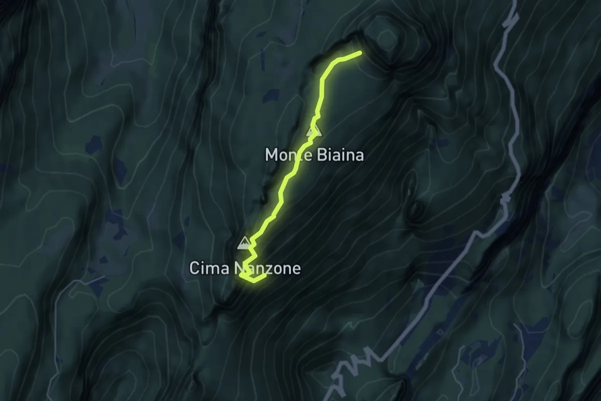
Medium · Summit
Giro del Monte Biaina
2.1 km · ↑ 589 m · 1 h 39 min · 3 km away
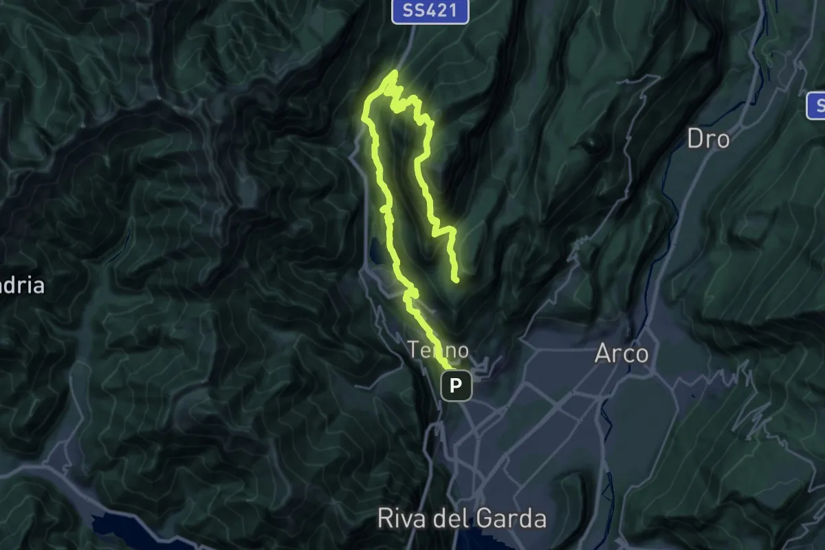
Demanding · Cabin
Itinerario Garda Brenta - Tappa 7
18.1 km · ↑ 1674 m · 7 h 45 min · 4 km away
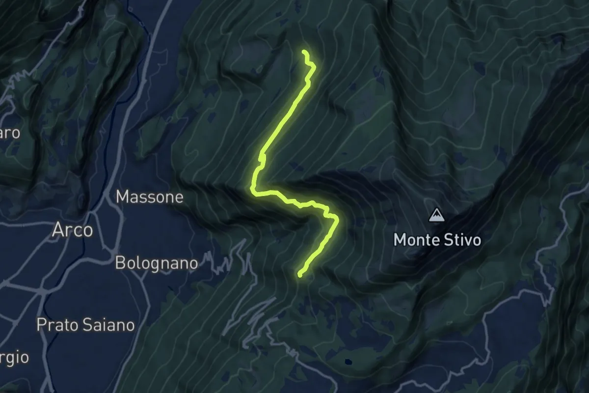
Demanding · Trail
Sentiero Caproni
11.5 km · ↑ 801 m · 4 h 27 min · 4 km away
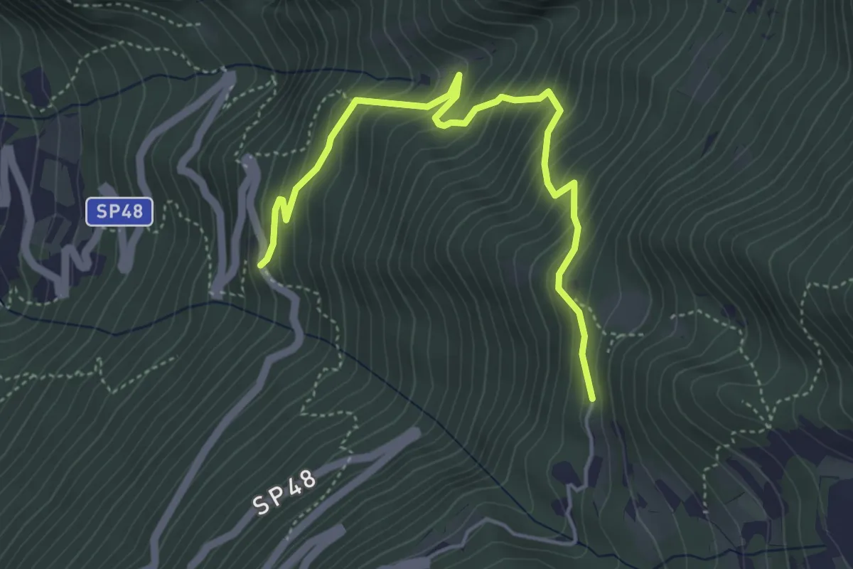
Medium · Trail
Salve Regina (bivio 608) – Monte Velo - bivio strada provinciale 48
4.9 km · ↑ 475 m · 2 h 11 min · 4 km away
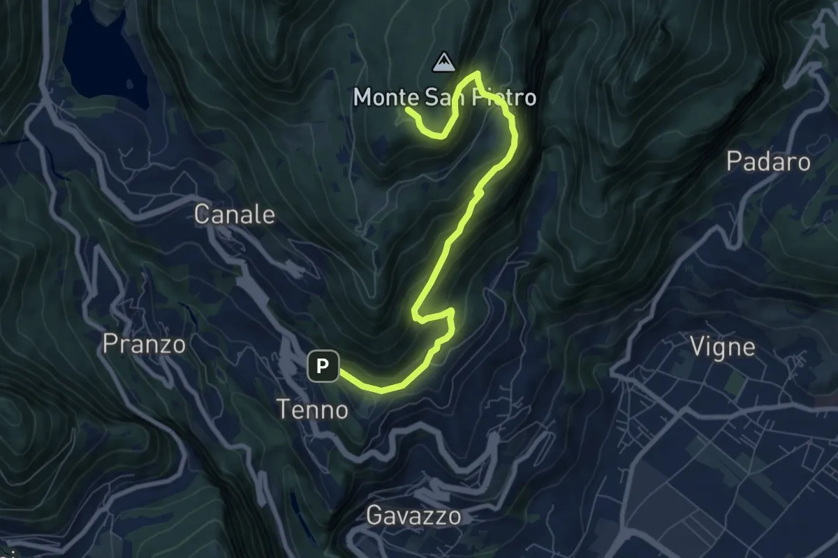
Medium · Trail
Tenno - Revedù (bivio 401) – Bosco Monte San Pietro (bivio 401)
8.0 km · ↑ 588 m · 3 h 9 min · 4 km away
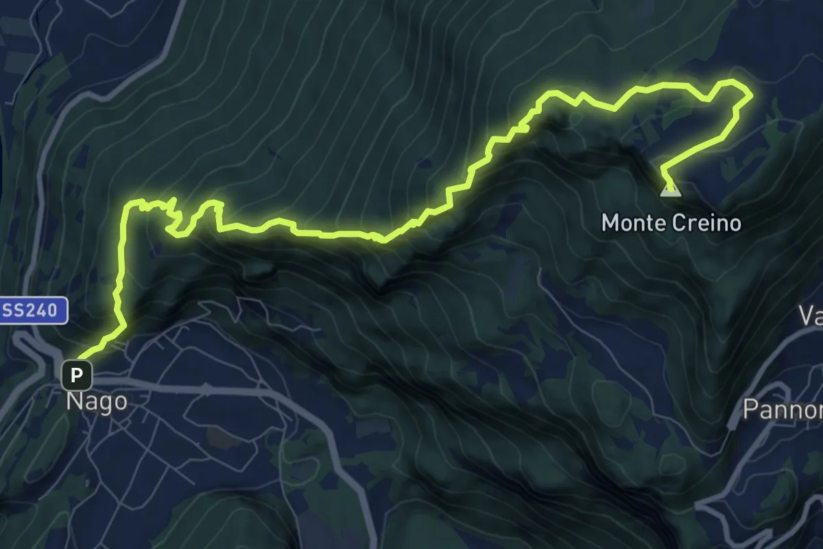
Demanding · Summit
Nago – Passo di Santa Barbara
12.5 km · ↑ 1115 m · 5 h 22 min · 4 km away
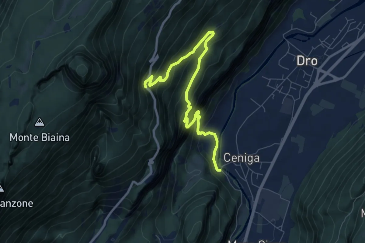
Expert · Trail
Via ferrata degli Scaloni
7.9 km · ↑ 805 m · 3 h 37 min · 5 km away
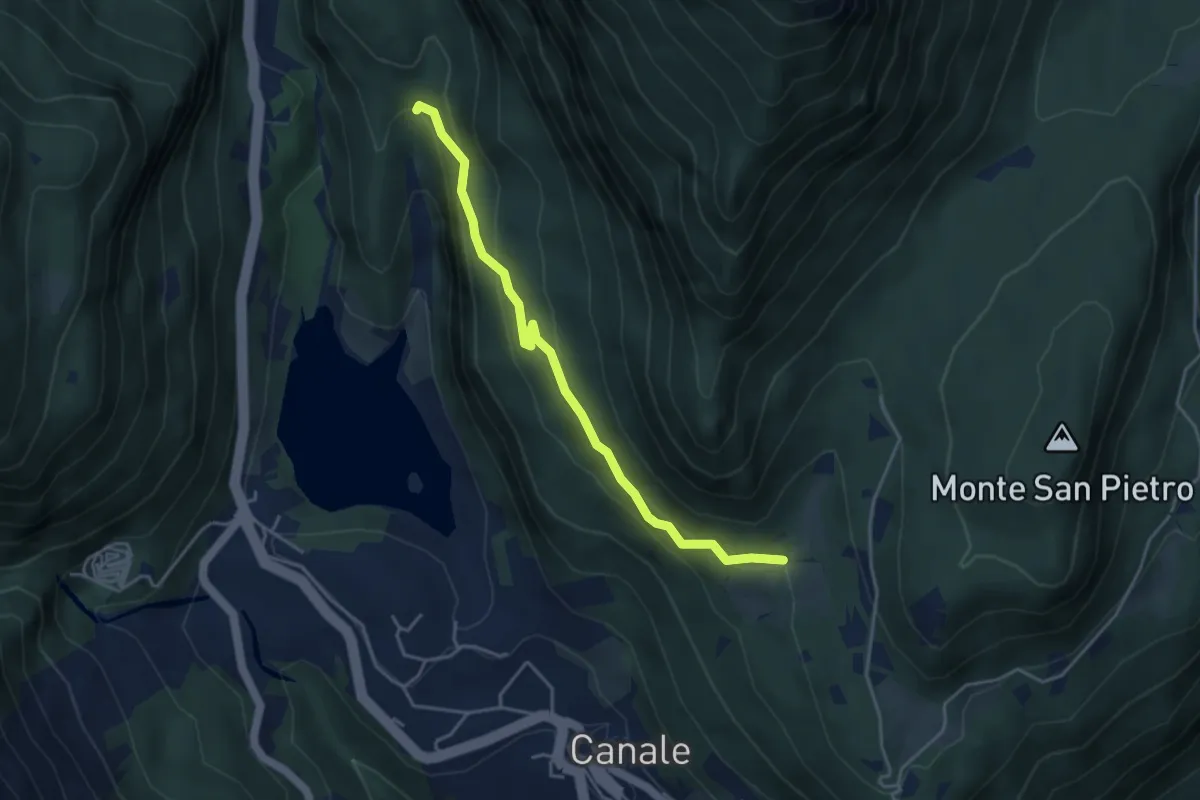
Easy · Trail
Terra rossa (bivio 406) – Casa Bastiani (bivio 406)
4.1 km · ↑ 246 m · 1 h 31 min · 5 km away
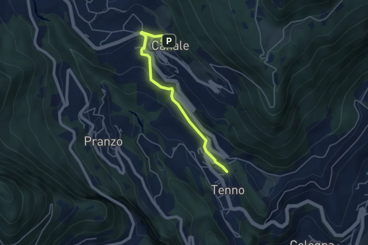
Easy · Trail
Tenno (bivio 401) – Canale (bivio 406)
3.7 km · ↑ 178 m · 1 h 16 min · 5 km away
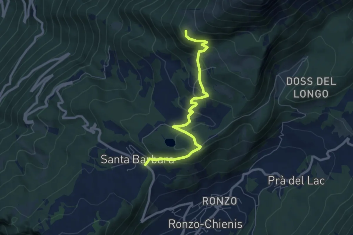
Medium · Trail
Passo Santa Barbara (bivio 637) – Le Prese (bivio 608)
6.2 km · ↑ 384 m · 2 h 18 min · 5 km away
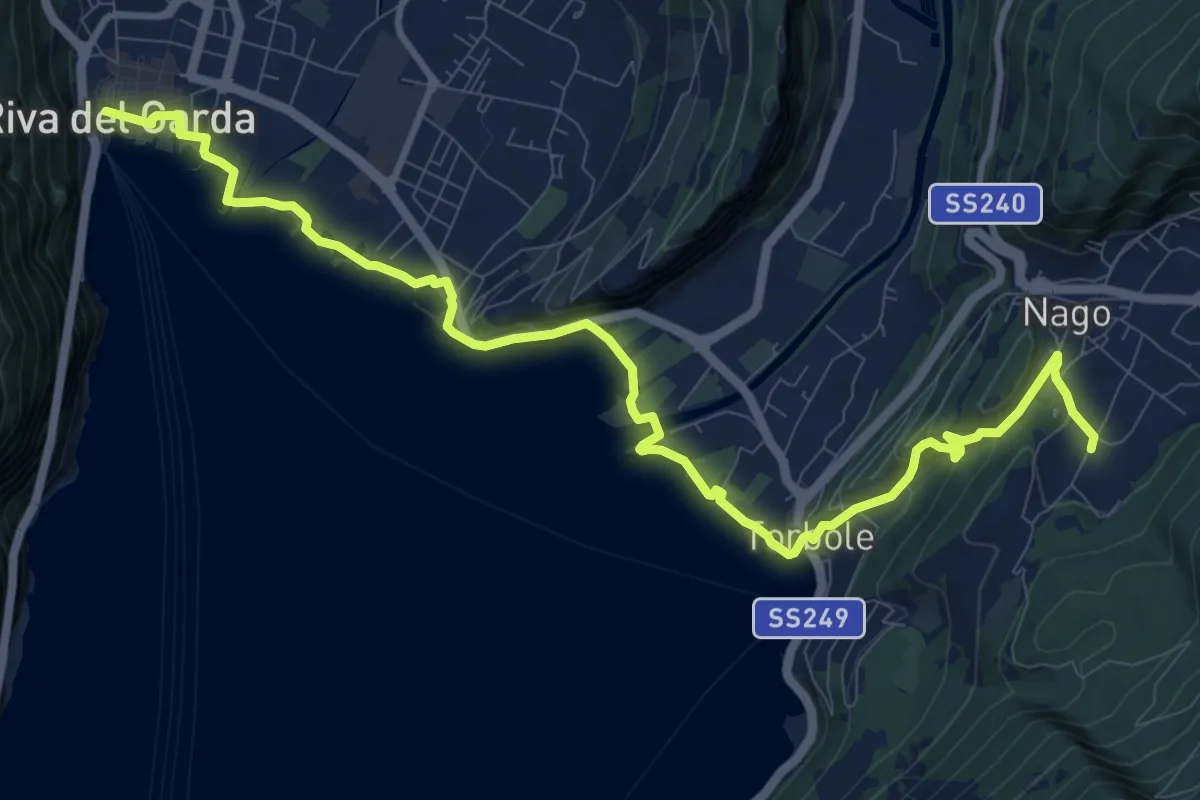
Medium · Trail
Sentiero della Pace - Tappa 7
12.8 km · ↑ 319 m · 3 h 43 min · 5 km away
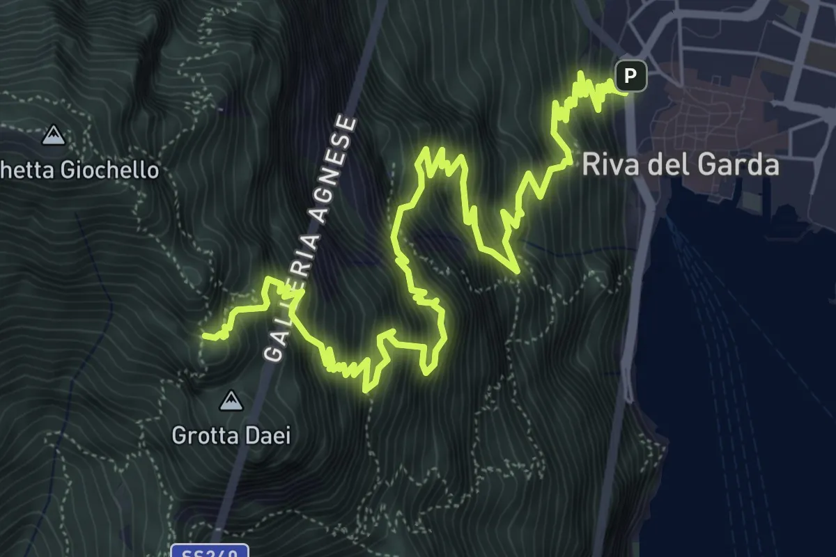
Expert · Trail
Via ferrata del Bastione e della Rocchetta
9.7 km · ↑ 1566 m · 5 h 41 min · 5 km away
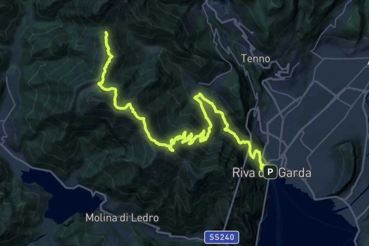
Demanding · Cabin
Sentiero della Pace - Tappa 6
17.7 km · ↑ 2192 m · 8 h 25 min · 5 km away
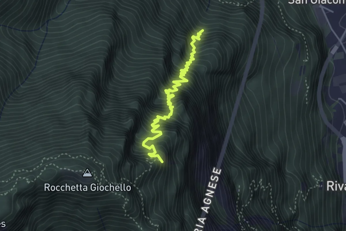
Demanding · Summit
Sentér dei Crazidei
4.1 km · ↑ 809 m · 2 h 44 min · 5 km away
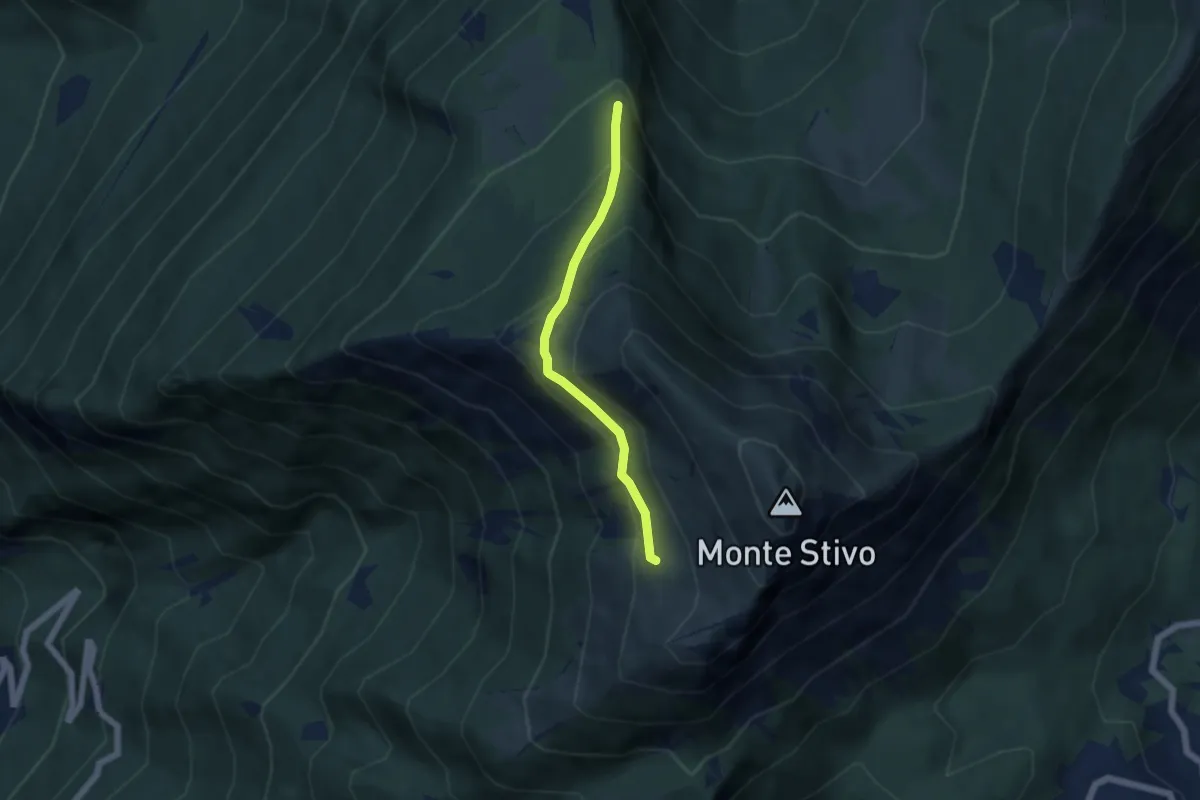
Medium · Trail
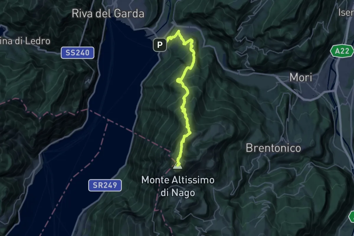
Scaletta - crocifisso (bivio 666) – Presso Malga Stivo (bivio 608)
4.6 km · ↑ 345 m · 1 h 50 min · 5 km away
Demanding · Summit
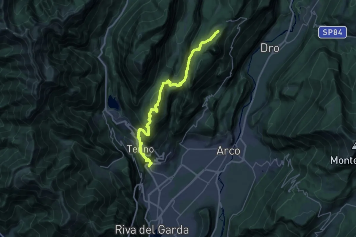
Sentiero del "Segron"
24.8 km · ↑ 2136 m · 10 h 29 min · 5 km away
Demanding · Summit
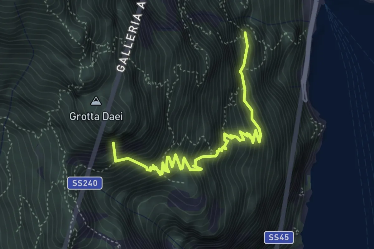
Varone - Via Carducci – Prai da Gom (bivio 407)
11.2 km · ↑ 302 m · 3 h 56 min · 6 km away
Expert · Summit
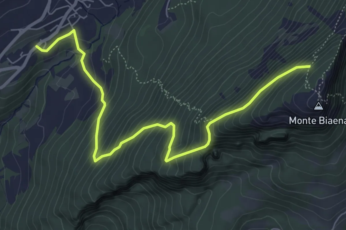
Via ferrata "Fausto Susatti"
5.2 km · ↑ 918 m · 3 h 13 min · 6 km away
Medium · Cabin
Chienis – Presso Baita Biaena (bivio 671)
7.0 km · ↑ 664 m · 3 h 5 min · 6 km away
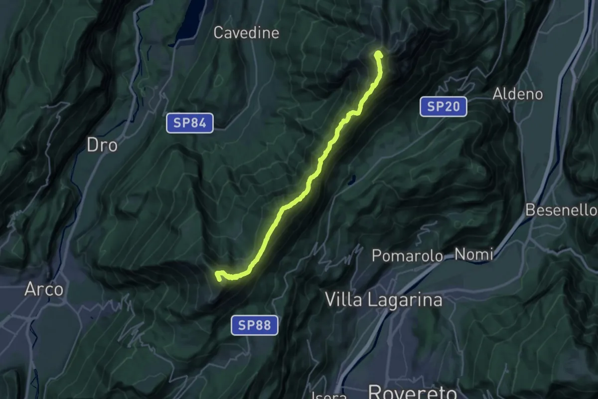
Demanding · Summit
Rifugio Stivo "Prospero Marchetti" (bivio 608 - 617B) – Versante nord Cima Cornetto (bivio 607 - 636)
22.8 km · ↑ 1865 m · 9 h 25 min · 6 km away
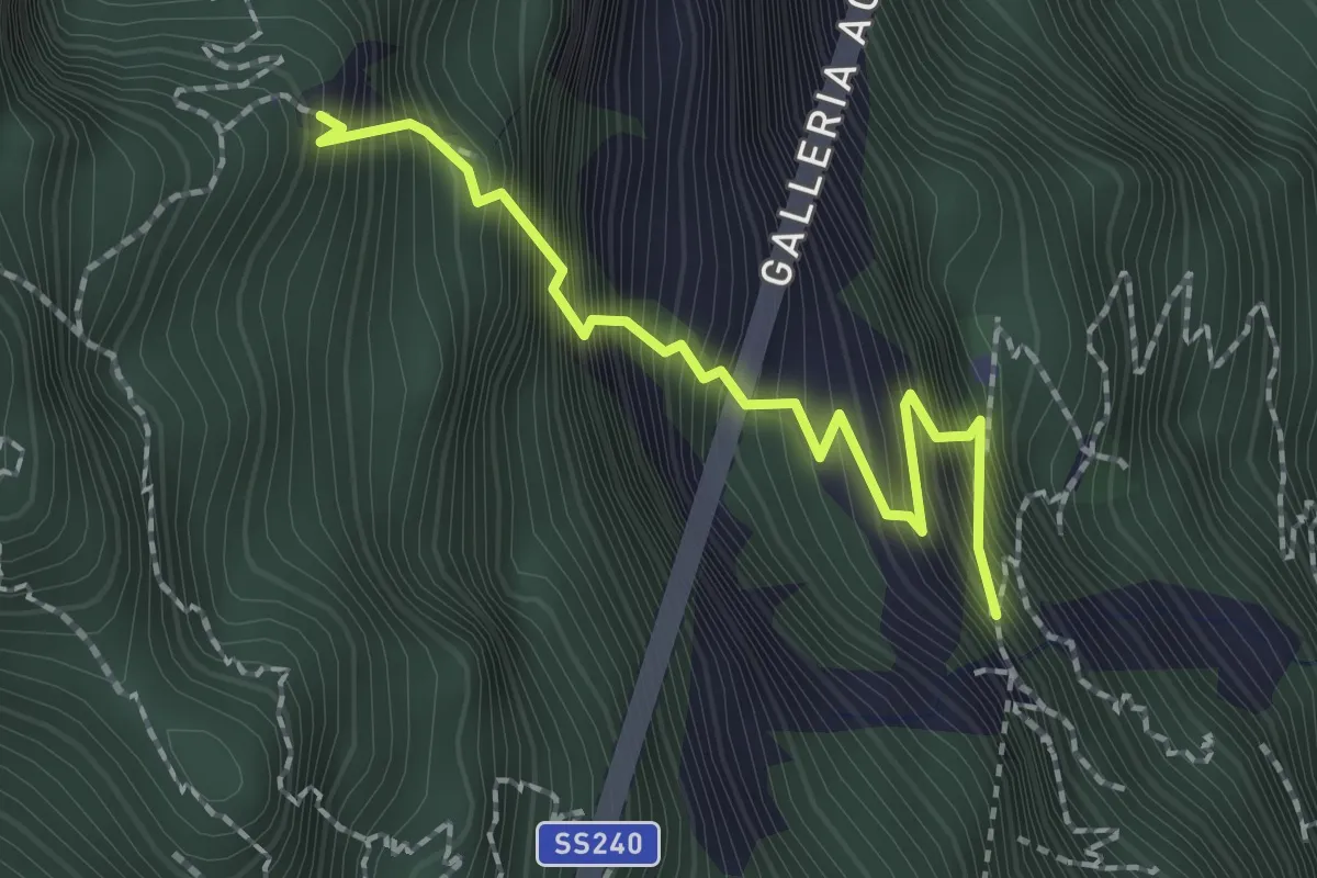
Expert · Summit
Via ferrata dell'Amicizia
2.0 km · ↑ 581 m · 1 h 45 min · 6 km away
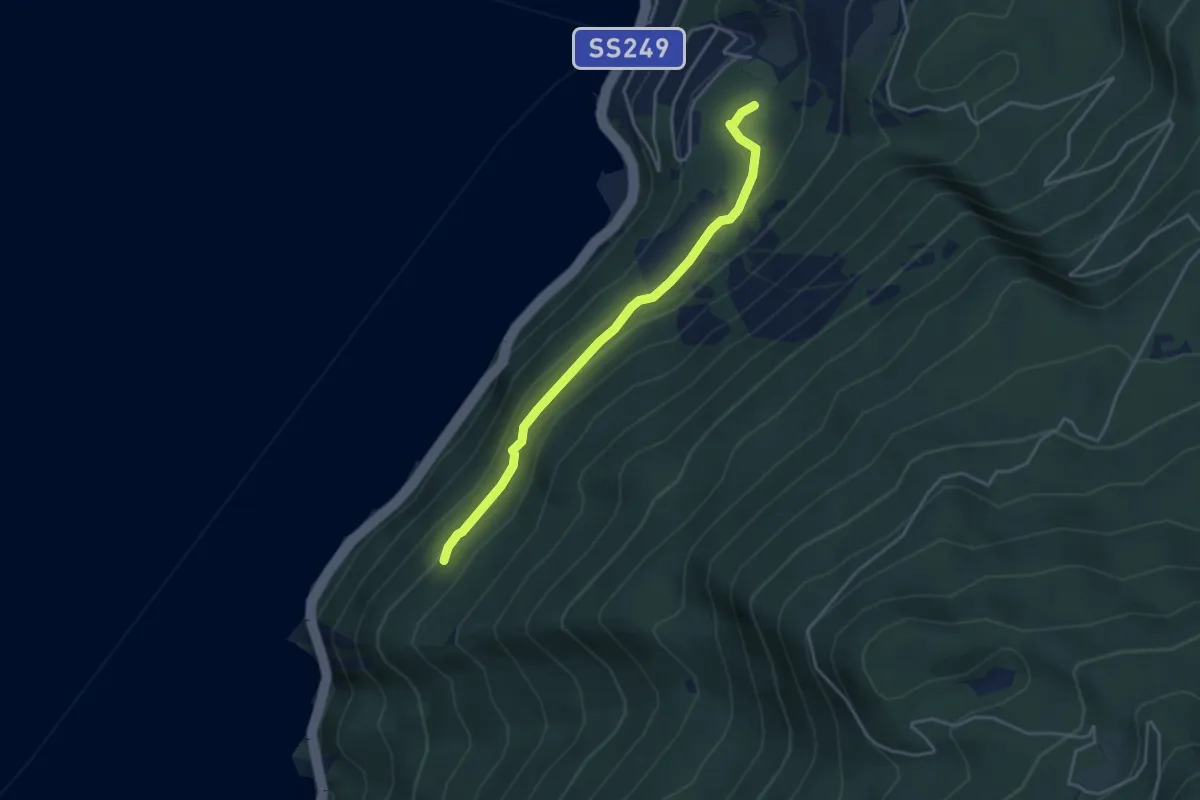
Easy · Trail
Busatte - Tempesta
3.9 km · ↑ 179 m · 1 h 19 min · 6 km away
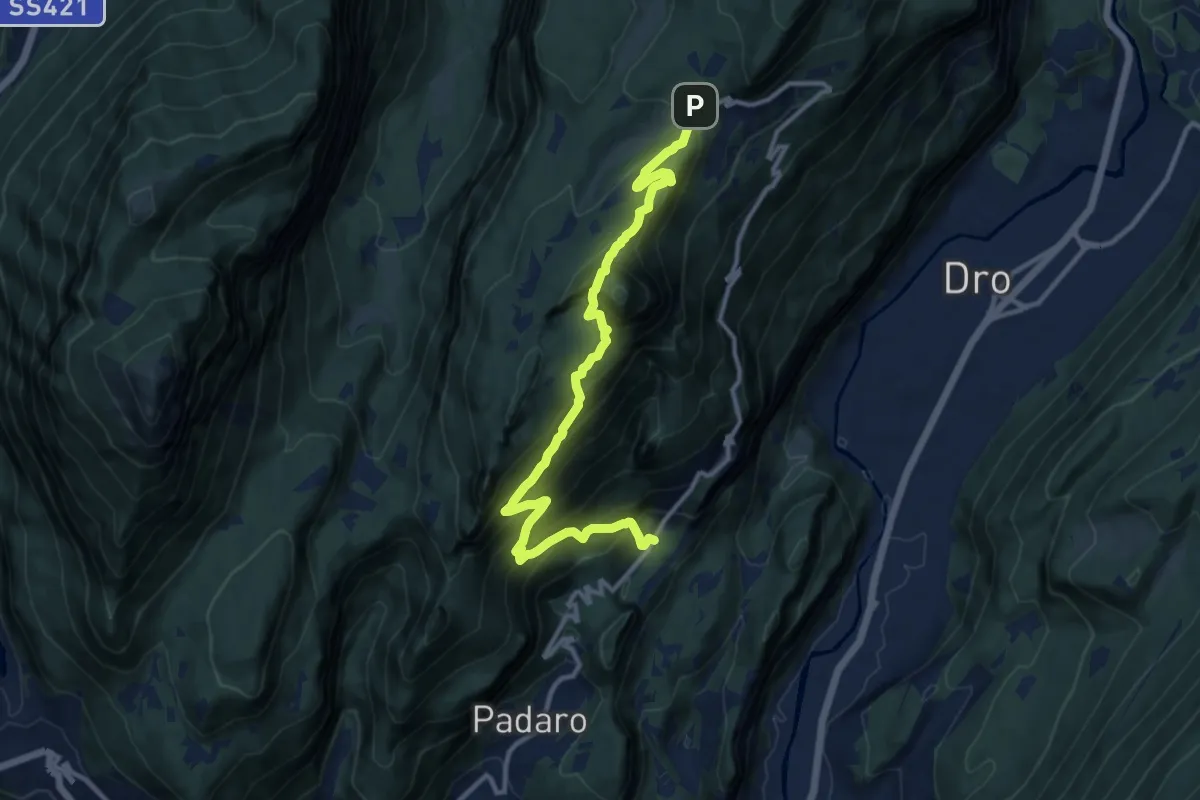
Demanding · Trail
Mandrea (bivio 408) – Marcarie (bivio 425)
12.8 km · ↑ 1368 m · 6 h · 6 km away
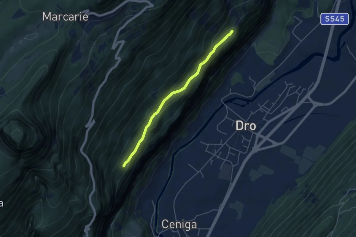
Medium · Trail
Sentiero alle Cavre
4.1 km · ↑ 172 m · 1 h 20 min · 6 km away
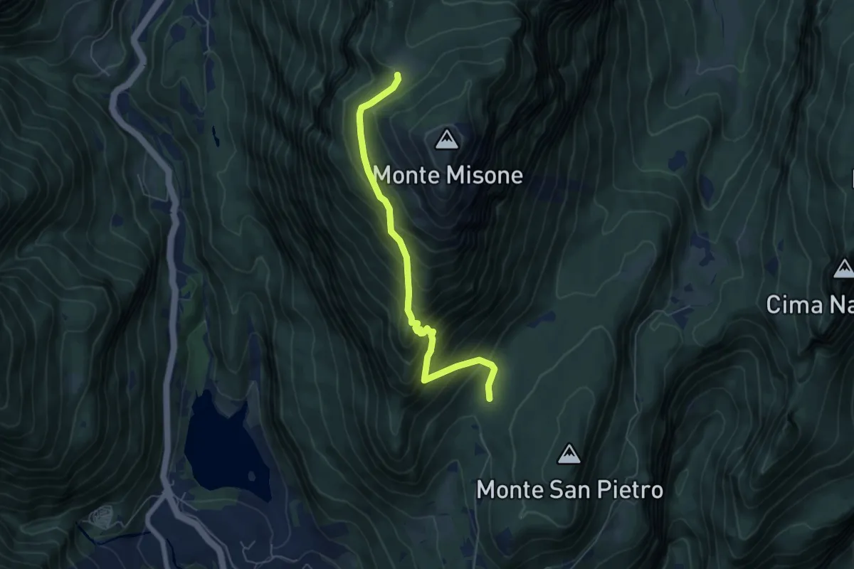
Medium · Trail
Presso Sella Monte Calino (bivio 410) – Malga di Tenno (bivio 433)
5.8 km · ↑ 637 m · 2 h 45 min · 6 km away
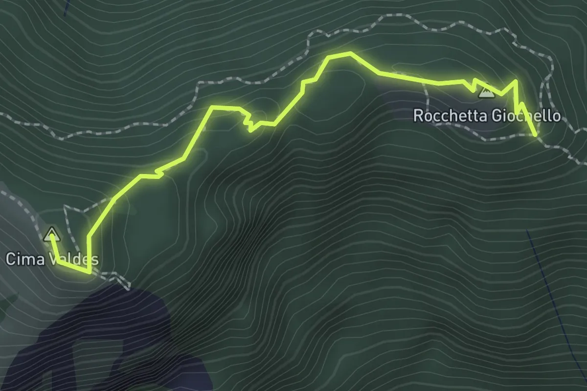
Demanding · Summit
Sentiero Attrezzato "Rino Zanotti"
2.4 km · ↑ 232 m · 1 h 4 min · 6 km away
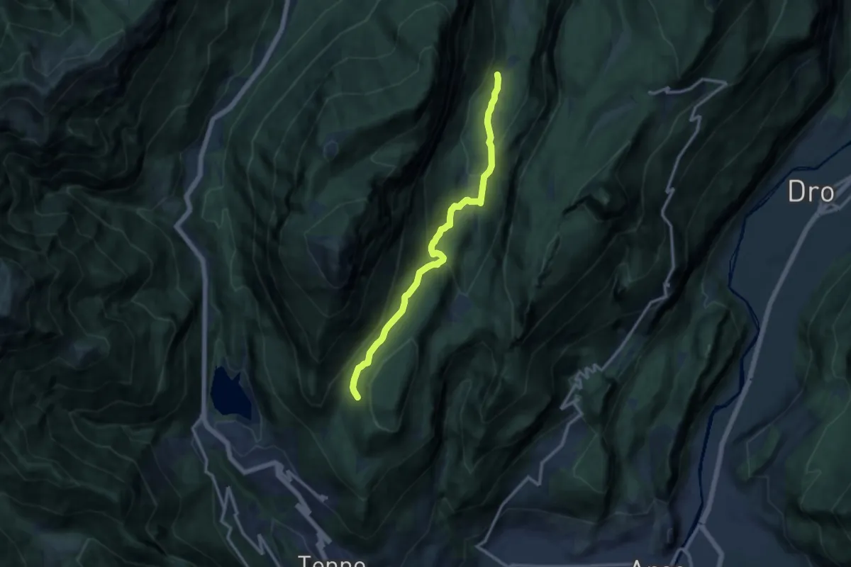
Medium · Trail
Ex Malga Lomasone – Calino (bivio O406)
10.5 km · ↑ 490 m · 3 h 33 min · 7 km away
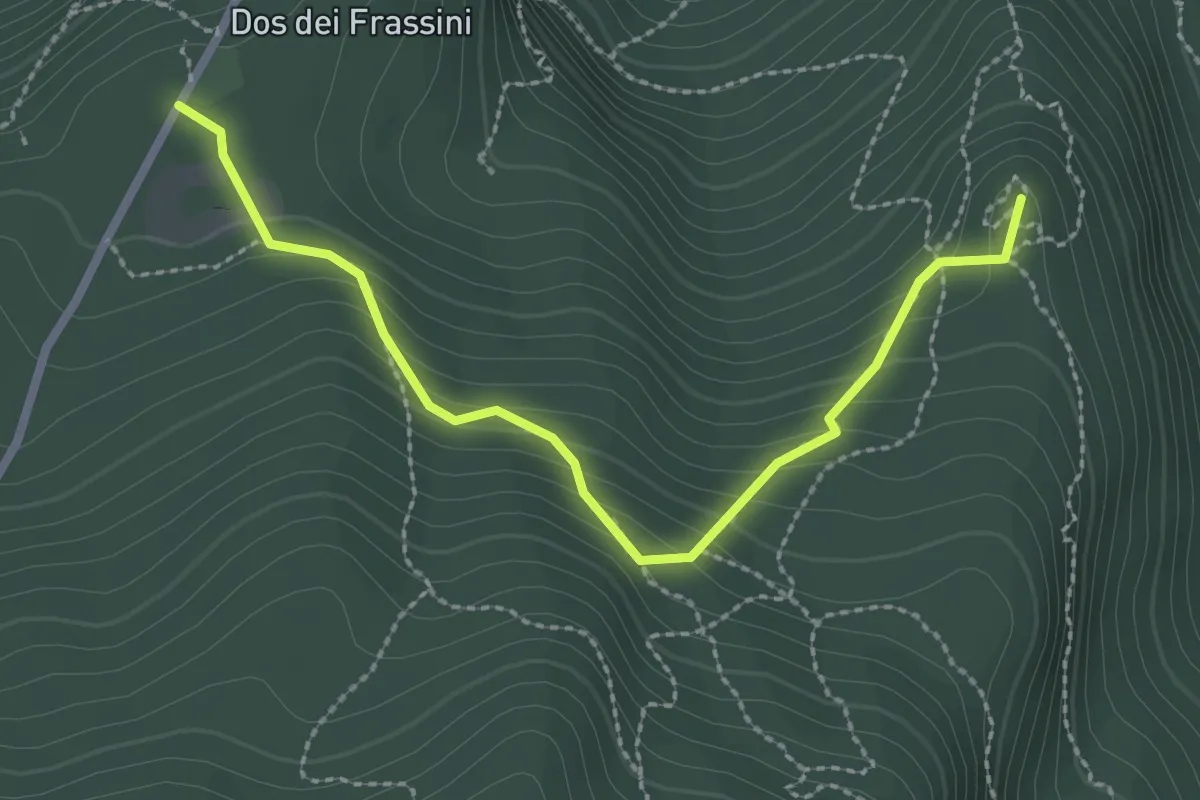
Medium · Summit
Giro del Doss alto di Nago
2.7 km · ↑ 193 m · 1 h 4 min · 7 km away
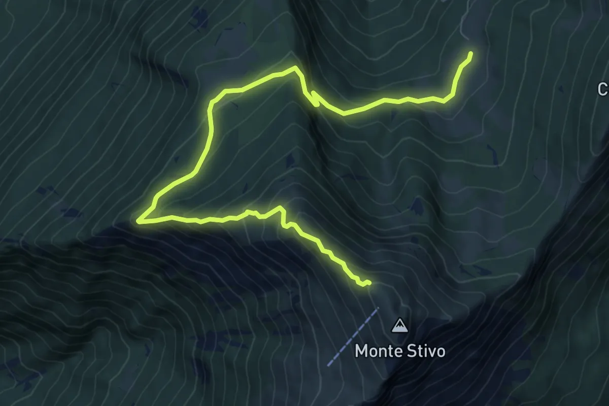
Medium · Trail
Sentiero del Coston
10.9 km · ↑ 749 m · 4 h 11 min · 7 km away
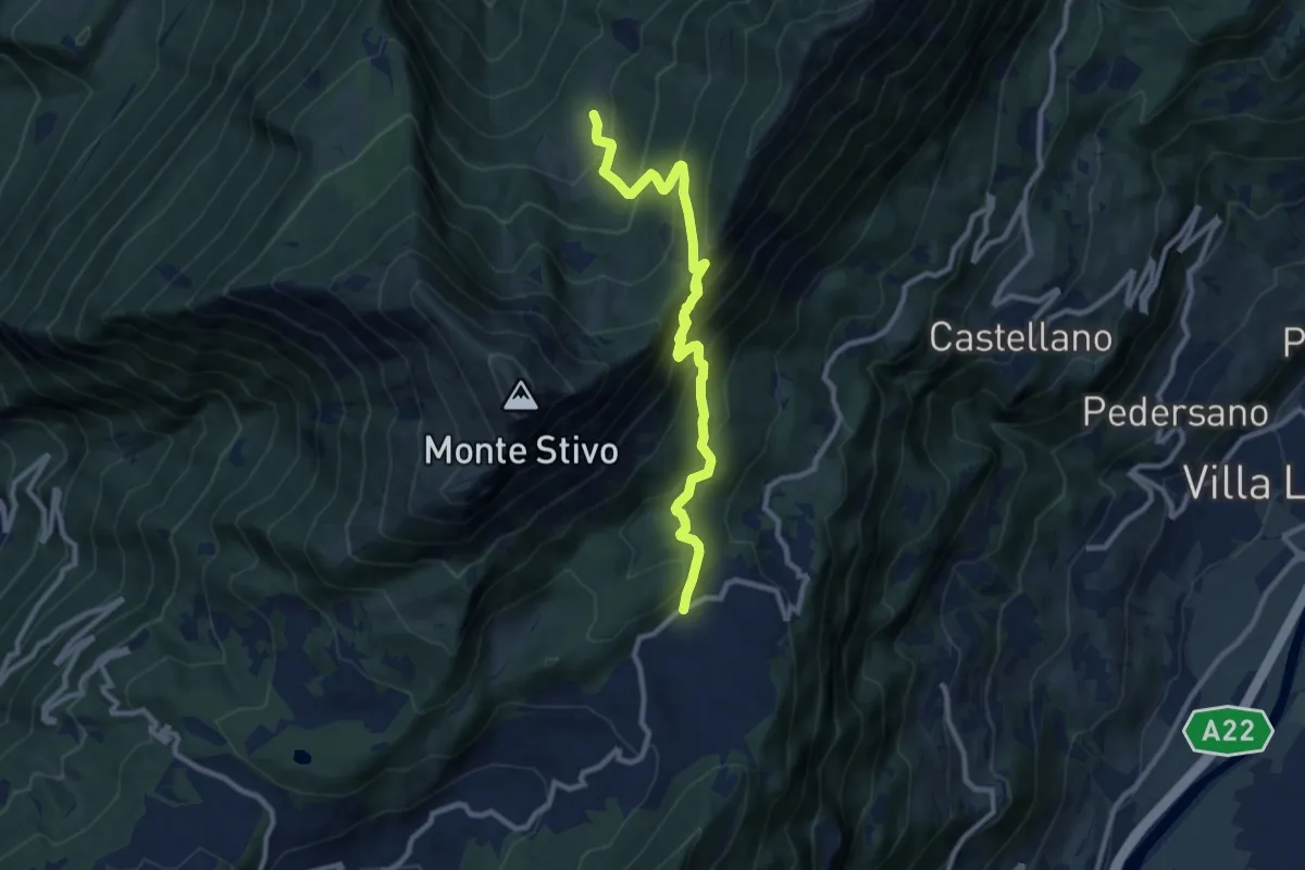
Medium · Trail
Passo Bordala – Presso Malga Campo di Arco
10.1 km · ↑ 745 m · 4 h · 7 km away
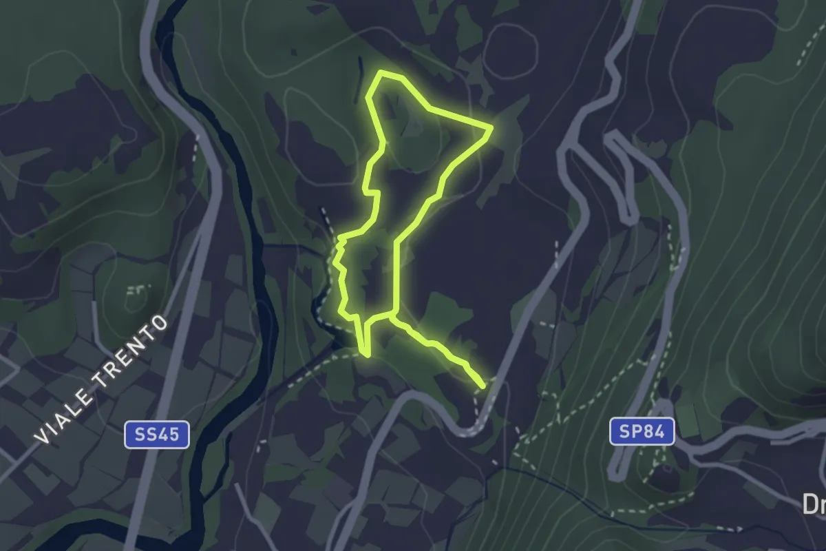
Easy · Trail
Sentiere delle Marocche corto
2.4 km · ↑ 60 m · 44 min · 7 km away
Medium · Trail
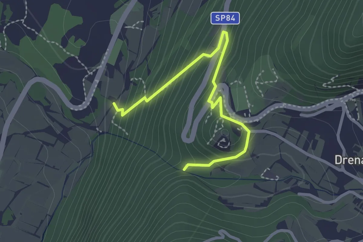
Via ferrata return
2.5 km · ↑ 207 m · 1 h 3 min · 7 km away
Medium · Trail
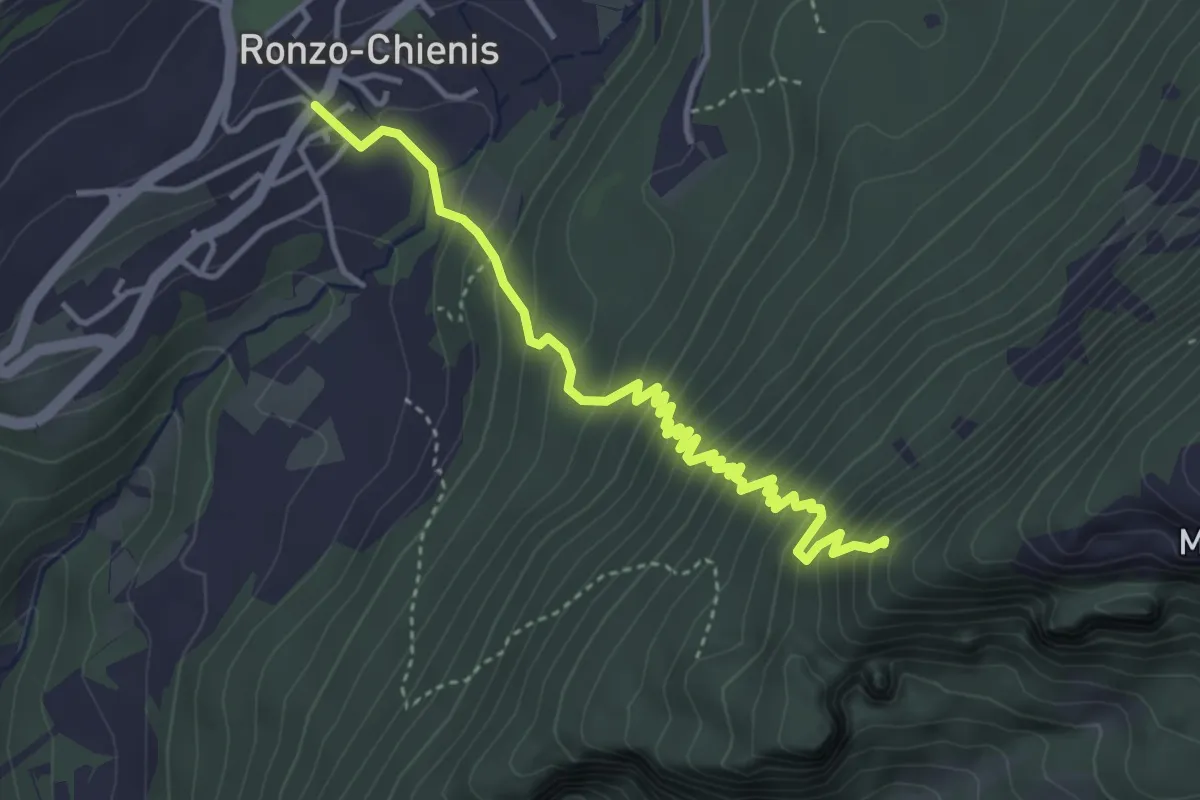
Ronzo Chienis – Incrocio strada forestale
4.4 km · ↑ 450 m · 2 h · 7 km away
Demanding · Summit
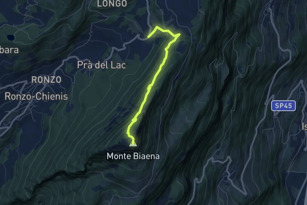
Sentiero attrezzato de le Laste
6.0 km · ↑ 439 m · 2 h 22 min · 7 km away
Medium · Trail
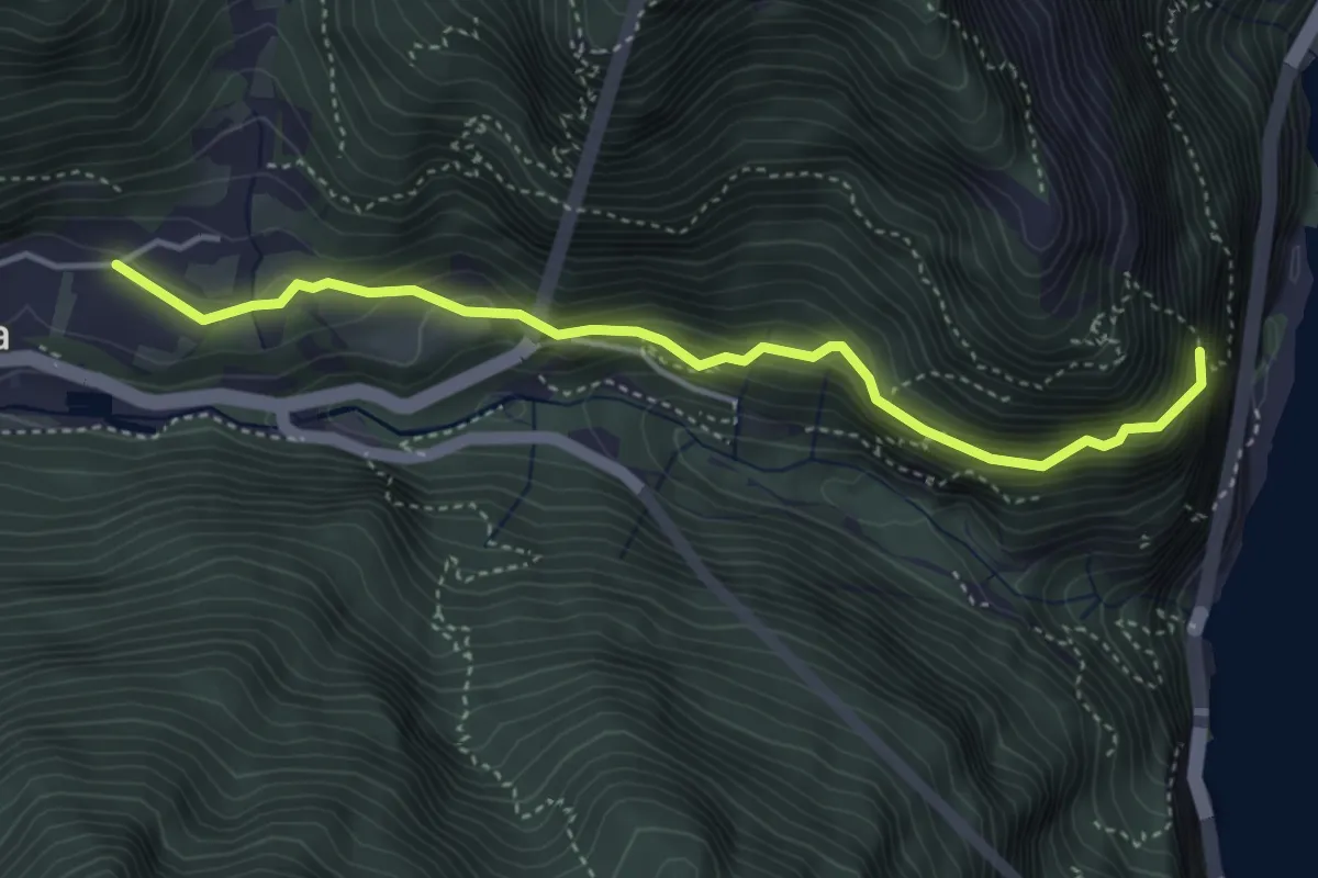
Sentiero del Defensionmaurer - "Alessandro Lutteri"
4.2 km · ↑ 366 m · 1 h 47 min · 7 km away
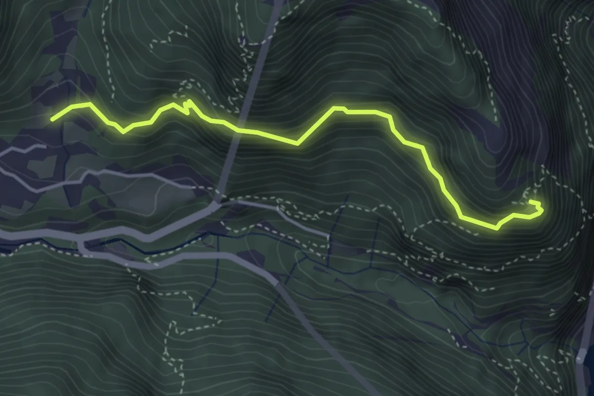
Medium · Trail
Sentér dei Bech
3.9 km · ↑ 553 m · 2 h 7 min · 7 km away
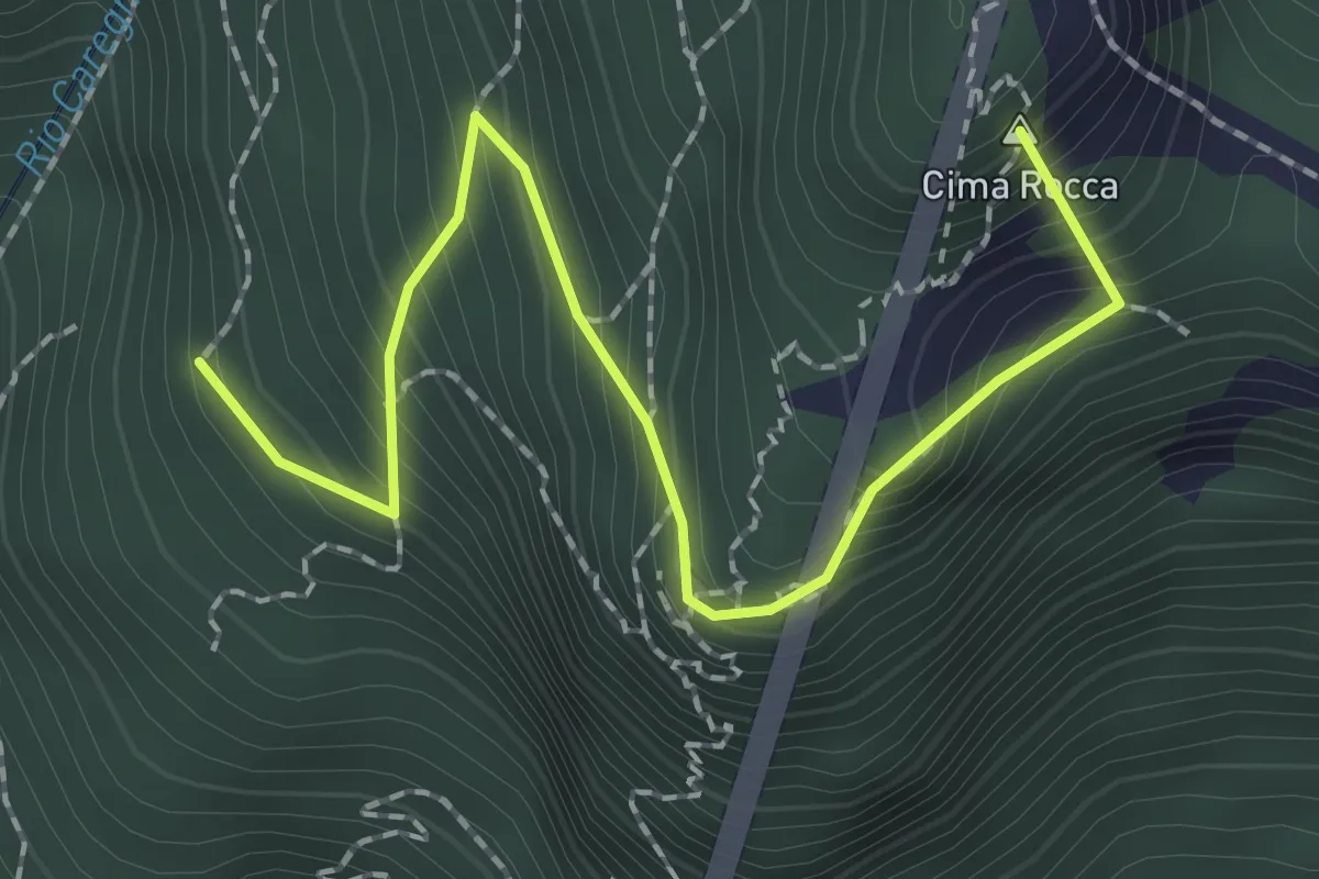
Expert · Summit
Via ferrata "Mario Foletti"
2.3 km · ↑ 276 m · 1 h 9 min · 8 km away
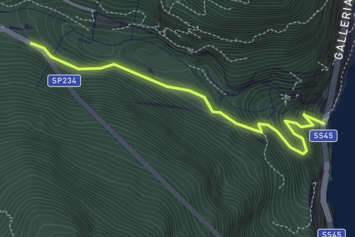
Medium · Trail
Antica Via del Ponale
2.8 km · ↑ 347 m · 1 h 25 min · 8 km away
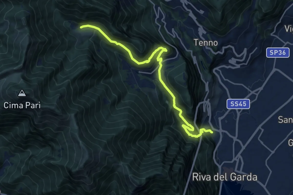
Demanding · Trail
Sentiero delle Laste basse - Berghem "Claudio Fedrizzi"
15.4 km · ↑ 1068 m · 5 h 57 min · 8 km away