Trails near Arco
167 hikes starting within 15 km, nearest first.
Nearest first, page 2 of 4
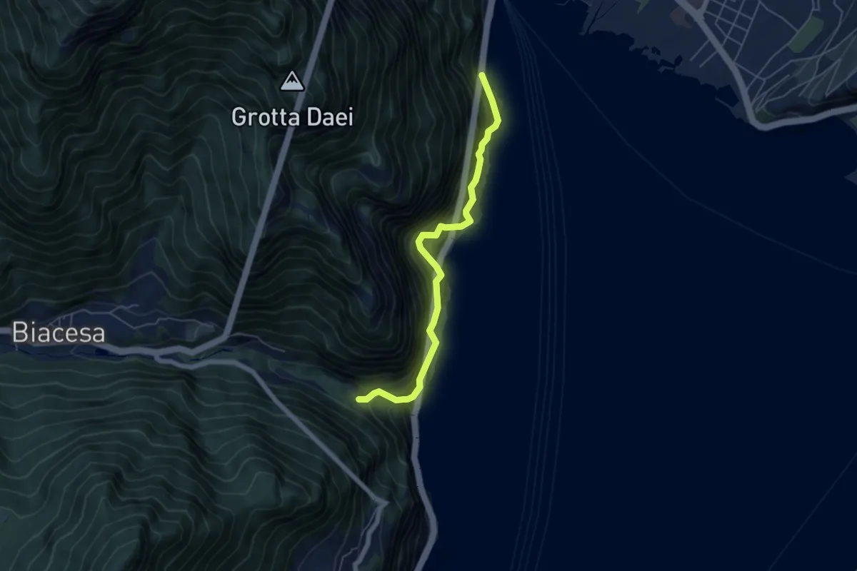
Medium · Trail
Sentiero del Ponale Giacomo Cis
5.4 km · ↑ 725 m · 2 h 50 min · 8 km away
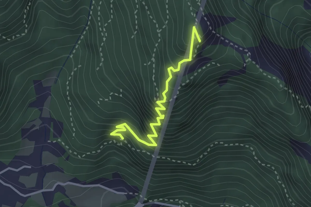
Expert · Summit
Via ferrata delle gallerie di guerra
2.7 km · ↑ 455 m · 1 h 38 min · 8 km away
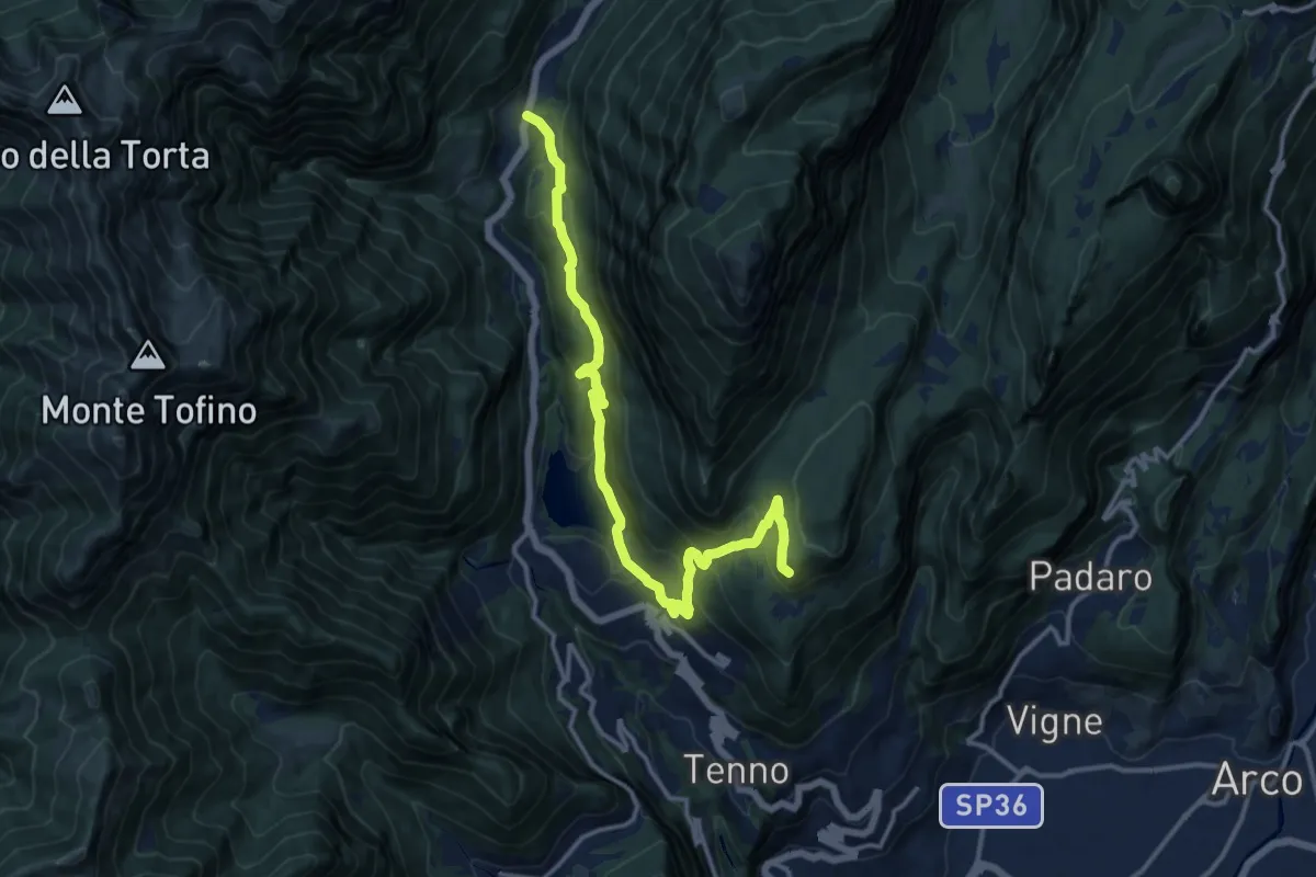
Demanding · Cabin
Ballino - chiesa – Rifugio Monte San Pietro (bivio 401)
14.5 km · ↑ 814 m · 5 h 11 min · 8 km away
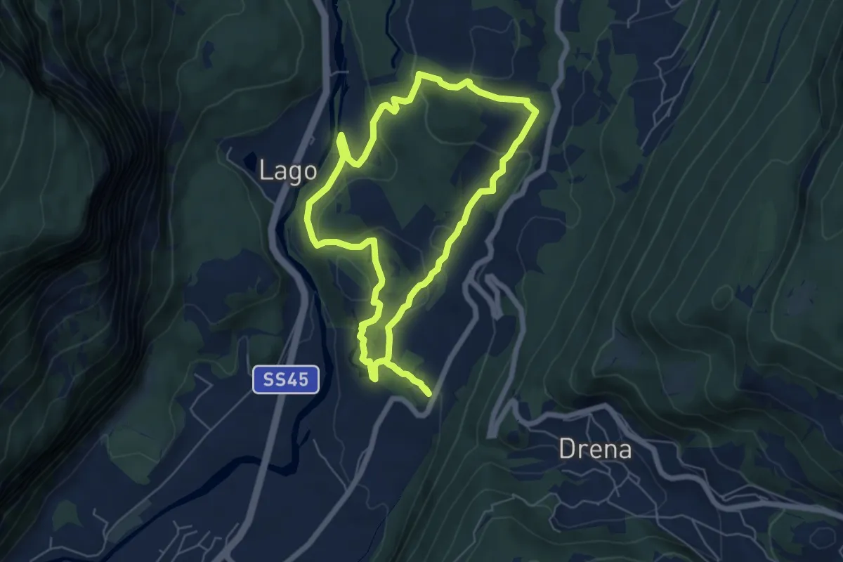
Medium · Trail
Sentiere delle Marocche
5.6 km · ↑ 188 m · 1 h 49 min · 8 km away
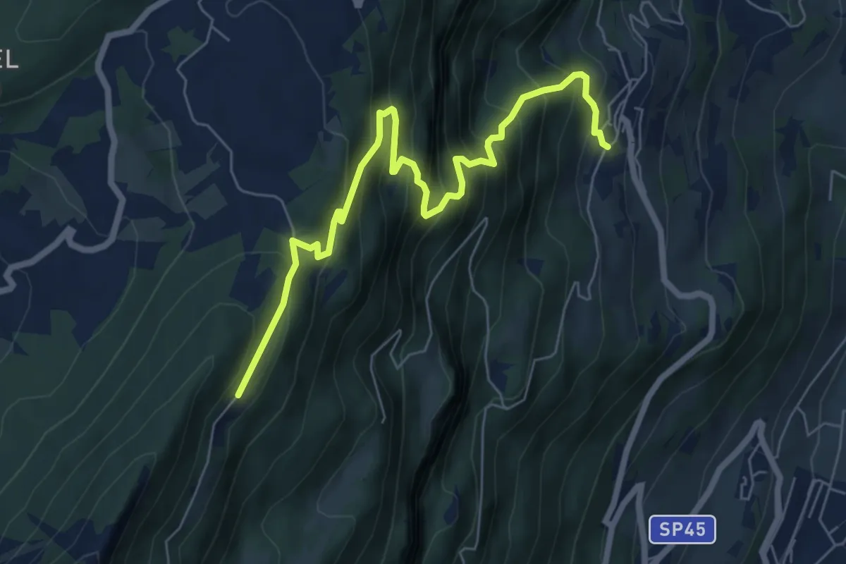
Medium · Trail
La direttissima
7.2 km · ↑ 732 m · 3 h 17 min · 8 km away
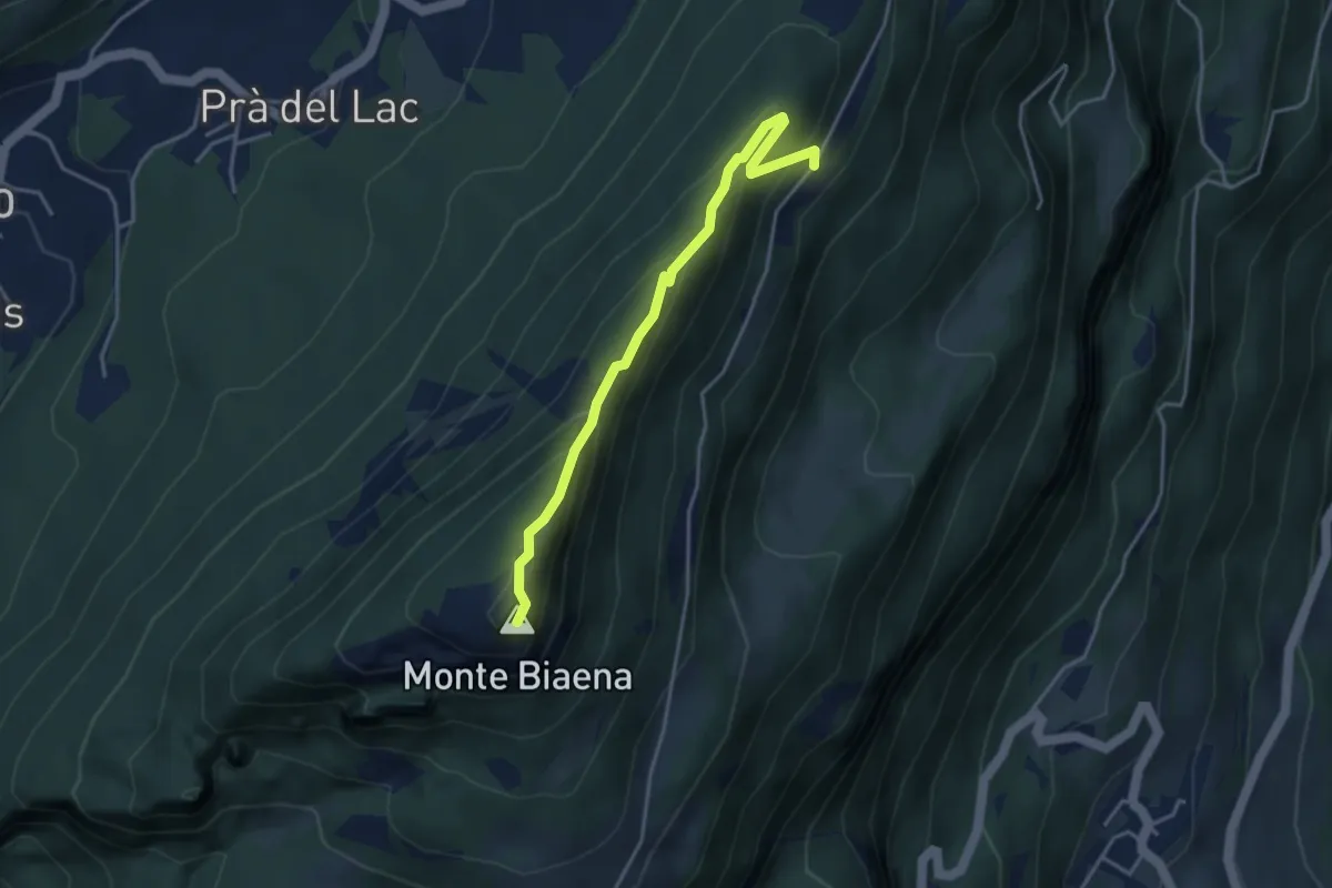
Expert · Summit
Via ferrata del Somator
3.8 km · ↑ 267 m · 1 h 29 min · 8 km away
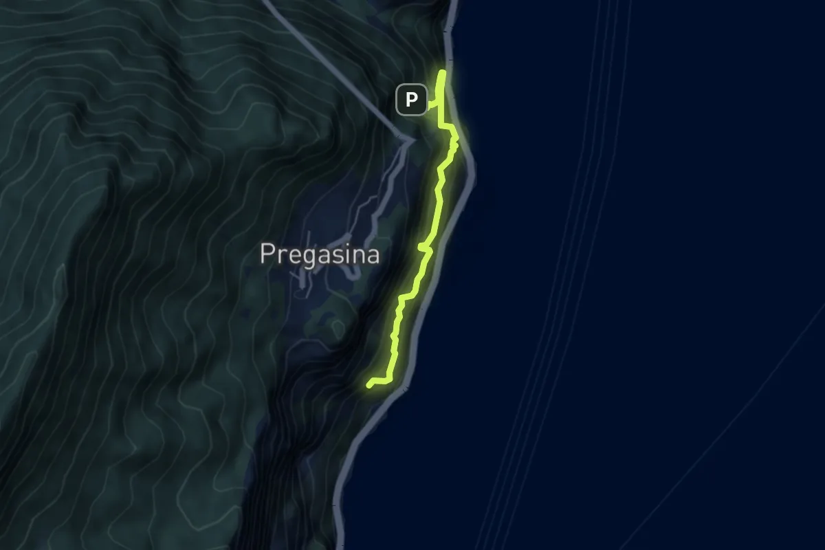
Expert · Trail
Sentiero Alpinistico dei Contrabbandieri "Massimiliano Torti"
4.2 km · ↑ 1054 m · 3 h 17 min · 8 km away
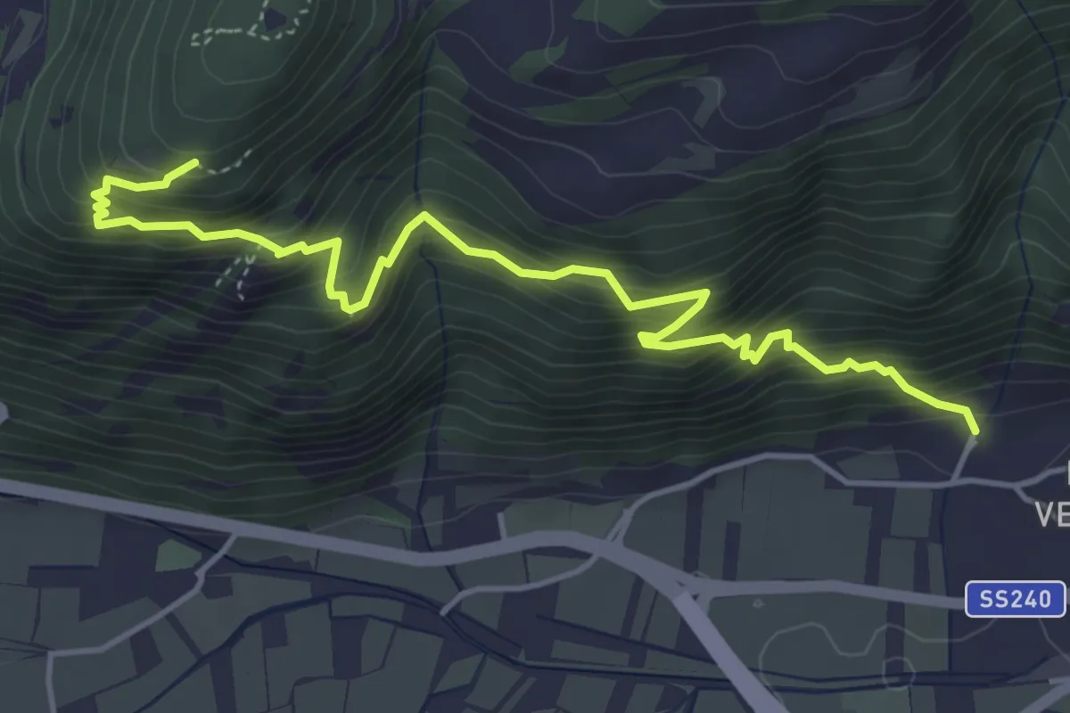
Demanding · Trail
Sentiero delle trincee
5.2 km · ↑ 652 m · 2 h 38 min · 8 km away
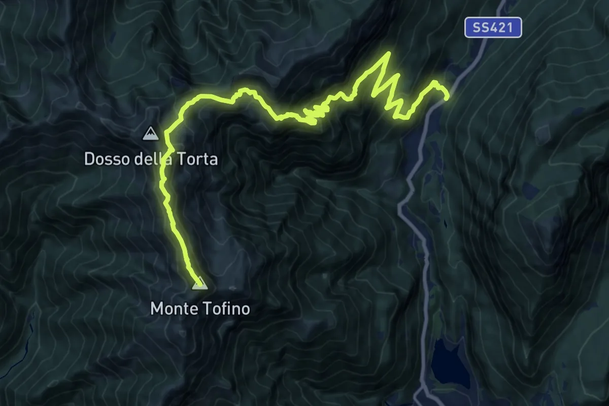
Demanding · Summit
Presso Passo del Ballino – Presso Bocca di Trat (bivio 402 - 402A - 403 - 413 - 445)
21.8 km · ↑ 2006 m · 9 h 29 min · 8 km away
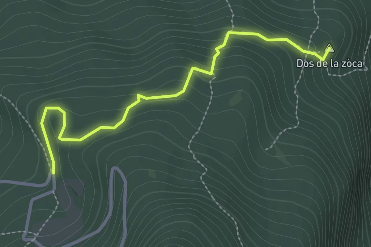
Medium · Summit
Sasso Sega (bivio 601B) – Tornante presso Malga Casina (bivio 601)
2.7 km · ↑ 156 m · 58 min · 8 km away
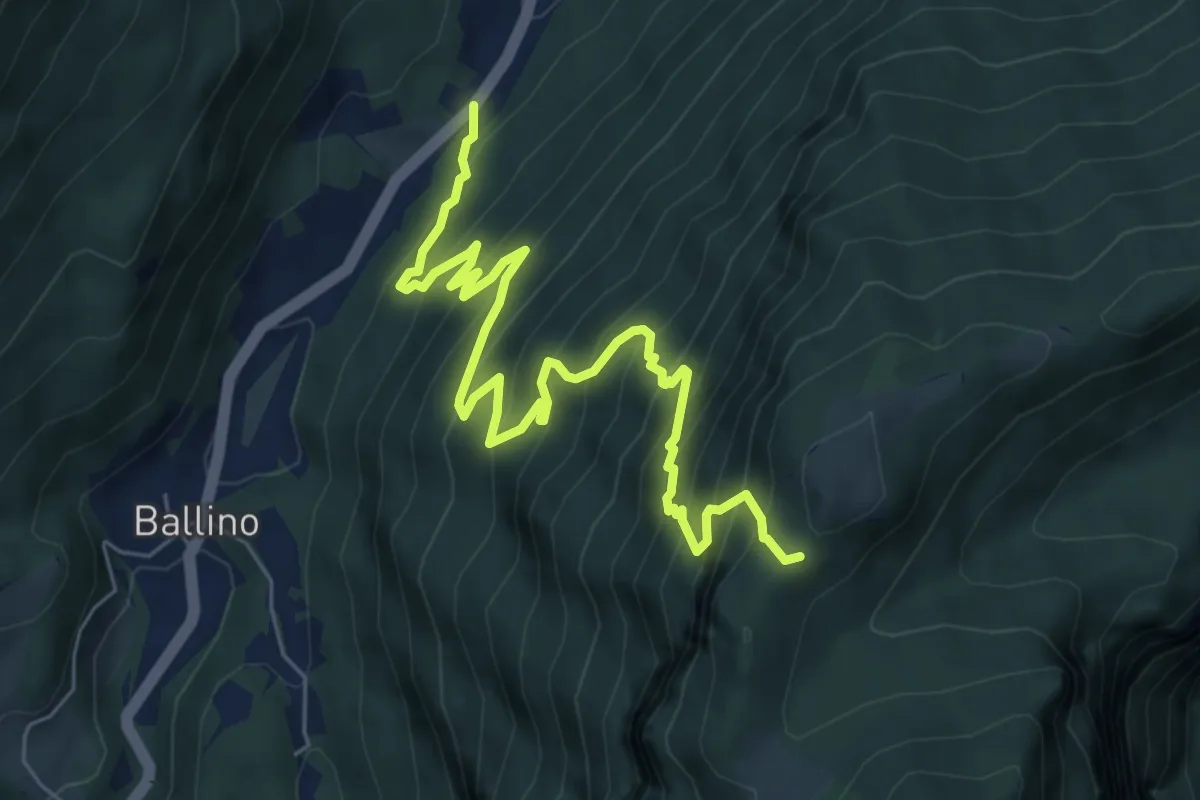
Demanding · Trail
Passo Ballino - Strada Statale 421 dei laghi di Molveno e Tenno al Km 48,2 – Calcherola (bivio 433)
8.0 km · ↑ 853 m · 3 h 44 min · 8 km away
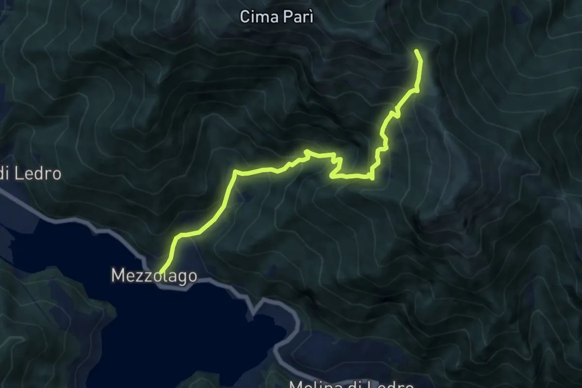
Demanding · Trail
Sentér de Dromaé
9.6 km · ↑ 1046 m · 4 h 32 min · 8 km away
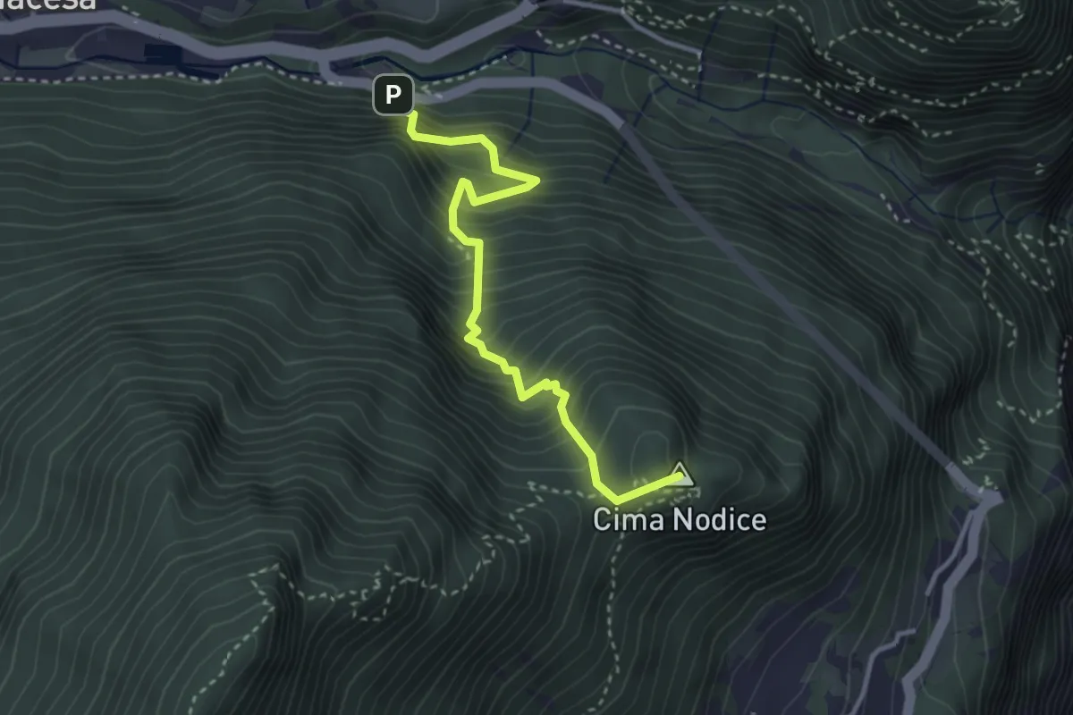
Medium · Summit
Tof (bivio 422) – Biacesa - bivio strada
3.3 km · ↑ 533 m · 1 h 56 min · 8 km away
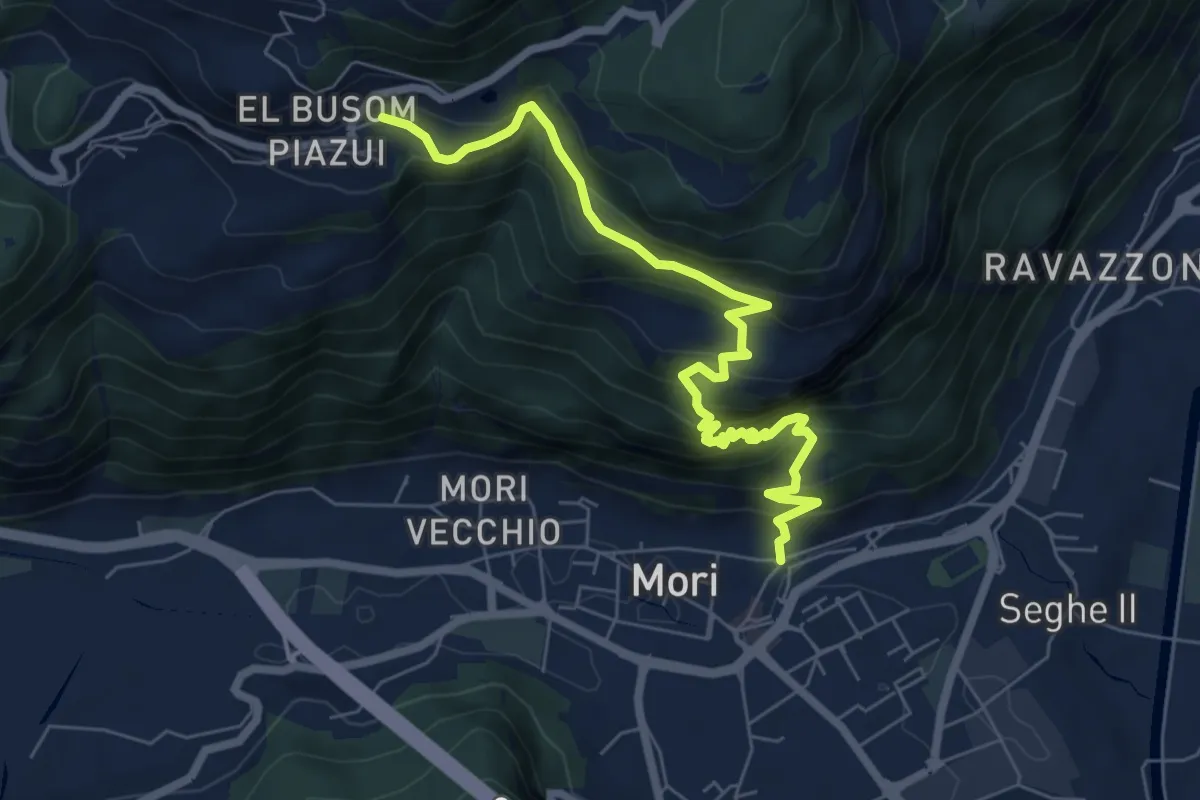
Demanding · Trail
Mori - Vicolo Zocchel – Nomesino
7.5 km · ↑ 832 m · 3 h 35 min · 8 km away
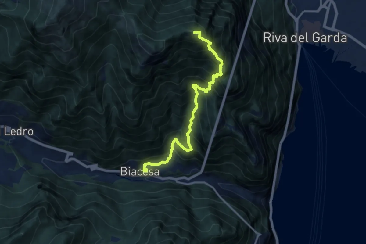
Demanding · Summit
Via de Ari
8.5 km · ↑ 1092 m · 4 h 23 min · 8 km away
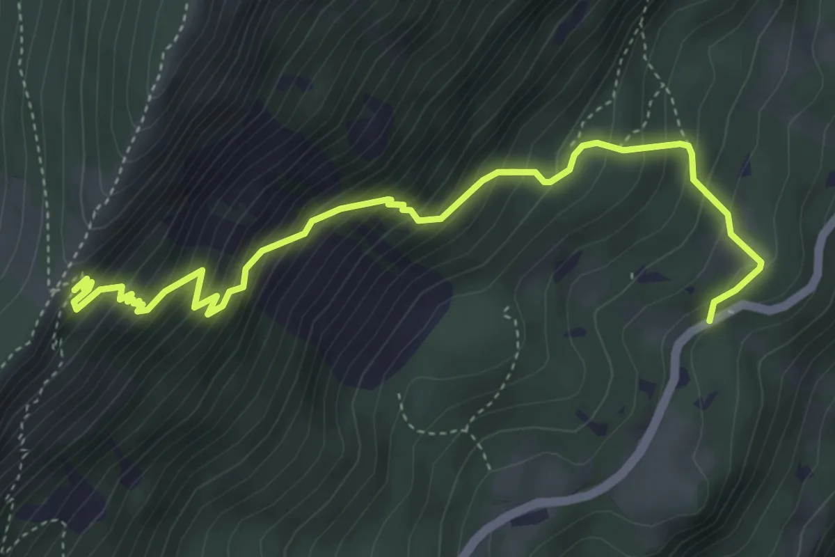
Medium · Trail
Sentiero dei Serbi
5.3 km · ↑ 647 m · 2 h 39 min · 9 km away
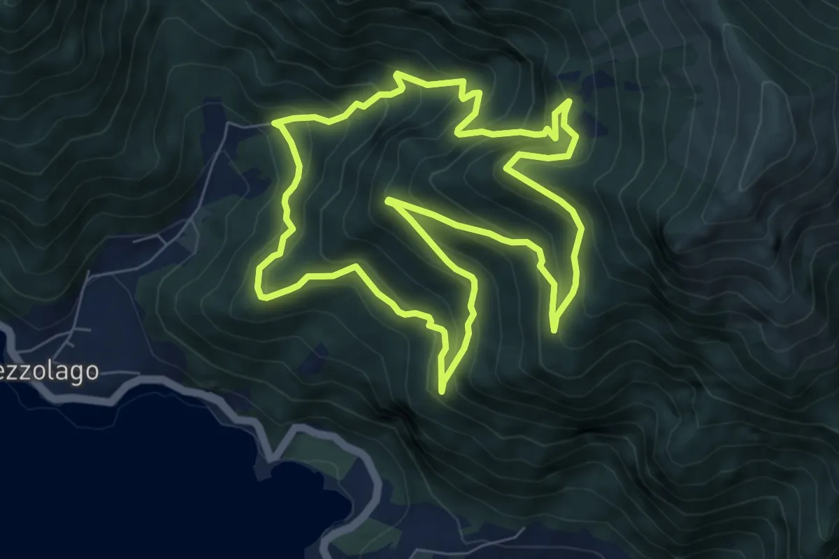
Medium · Trail
Sentiero botanico Val Dromaé
7.2 km · ↑ 650 m · 3 h 13 min · 9 km away
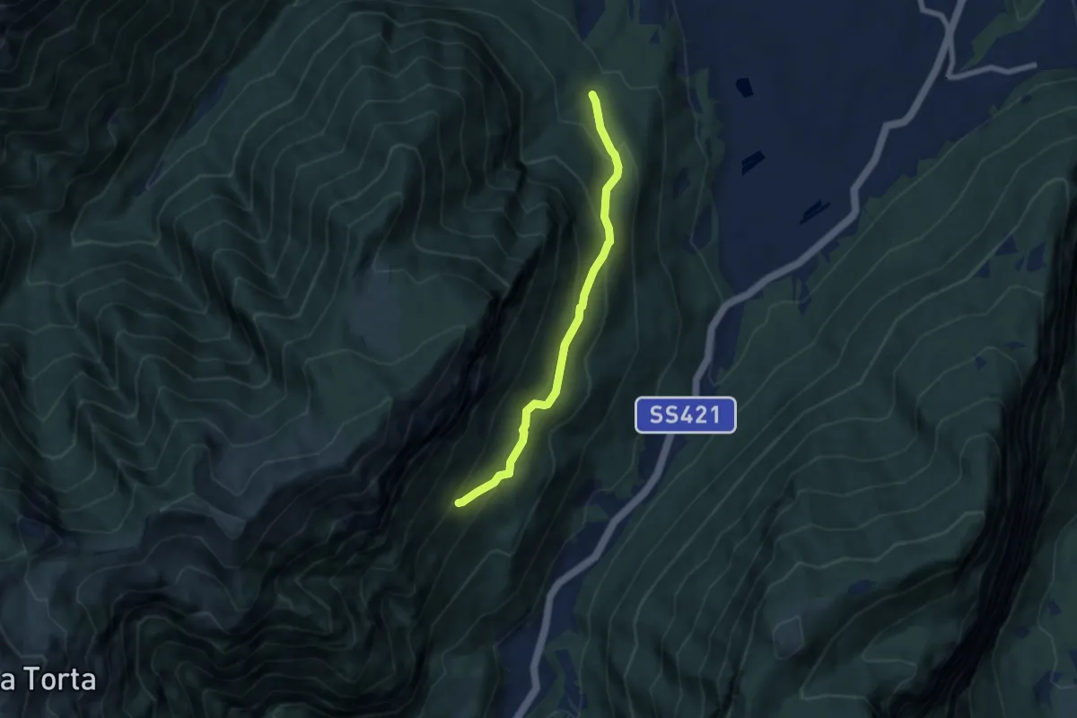
Medium · Trail
Le Corde - presso Duinella (bivio 461) – Coste alte di Indos (bivio 420)
6.3 km · ↑ 392 m · 2 h 21 min · 9 km away
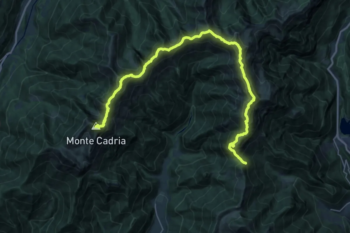
Expert · Summit
Alpiedi Ledro Alps Trek - Tappa 4
28.3 km · ↑ 2757 m · 12 h 40 min · 9 km away
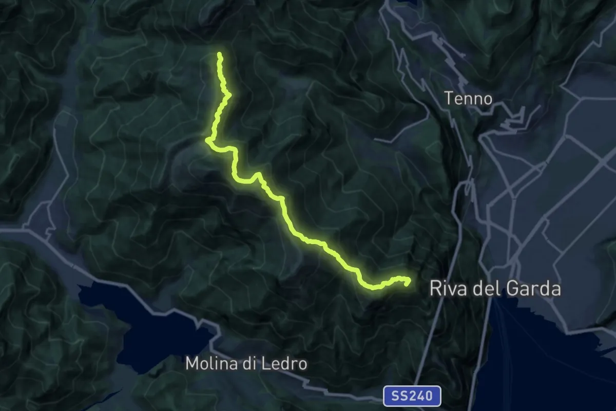
Expert · Summit
Itinerario Garda Brenta - Tappa 1
16.8 km · ↑ 1373 m · 6 h 57 min · 9 km away
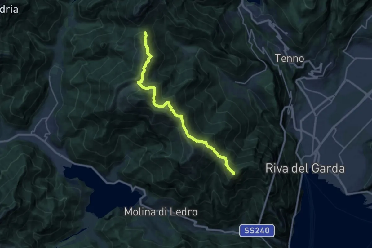
Demanding · Summit
Alpiedi Ledro Alps Trek - Tappa 3
15.5 km · ↑ 1213 m · 6 h 17 min · 9 km away
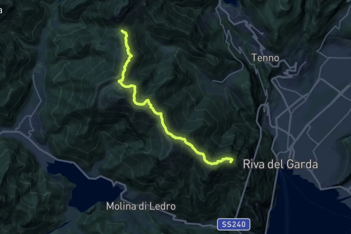
Demanding · Summit
Sentiero delle Cime
17.2 km · ↑ 1392 m · 7 h 4 min · 9 km away
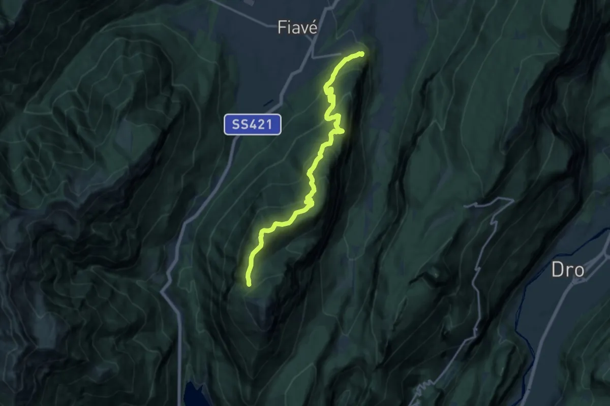
Demanding · Trail
Favrio – Malga di Tenno (bivio 412)
14.7 km · ↑ 1023 m · 5 h 41 min · 9 km away
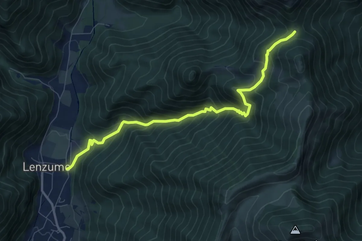
Demanding · Trail
Sentér de Val da Vai
8.6 km · ↑ 812 m · 3 h 48 min · 9 km away
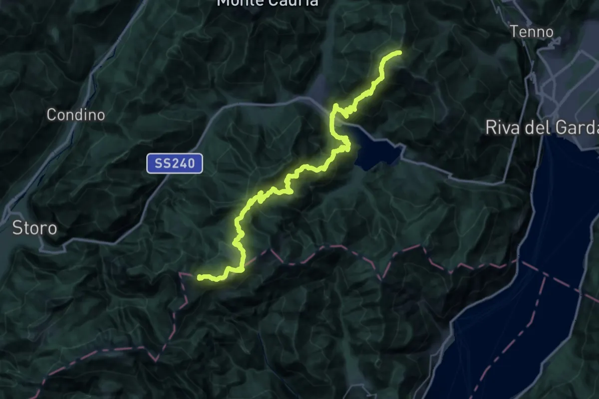
Demanding · Summit
Alta Via n. 10 - Garda Brenta
41.7 km · ↑ 3150 m · 16 h 41 min · 9 km away
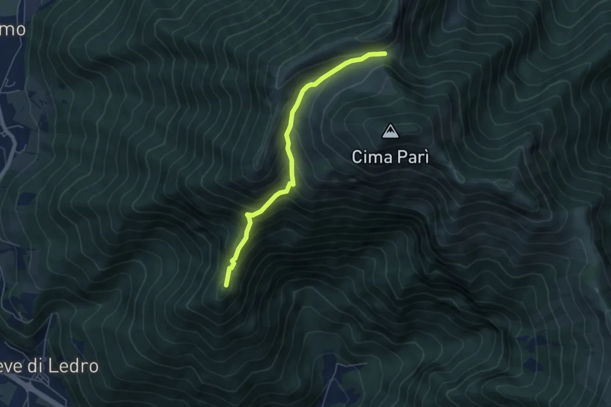
Medium · Summit
Sentér de Saval
5.0 km · ↑ 437 m · 2 h 7 min · 9 km away
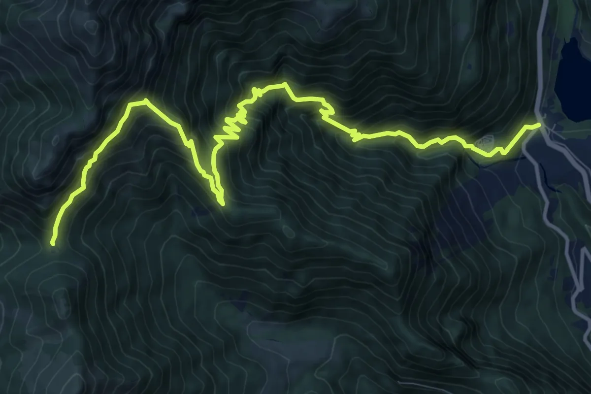
Demanding · Trail
Sentiero della Regina
13.9 km · ↑ 1468 m · 6 h 27 min · 9 km away
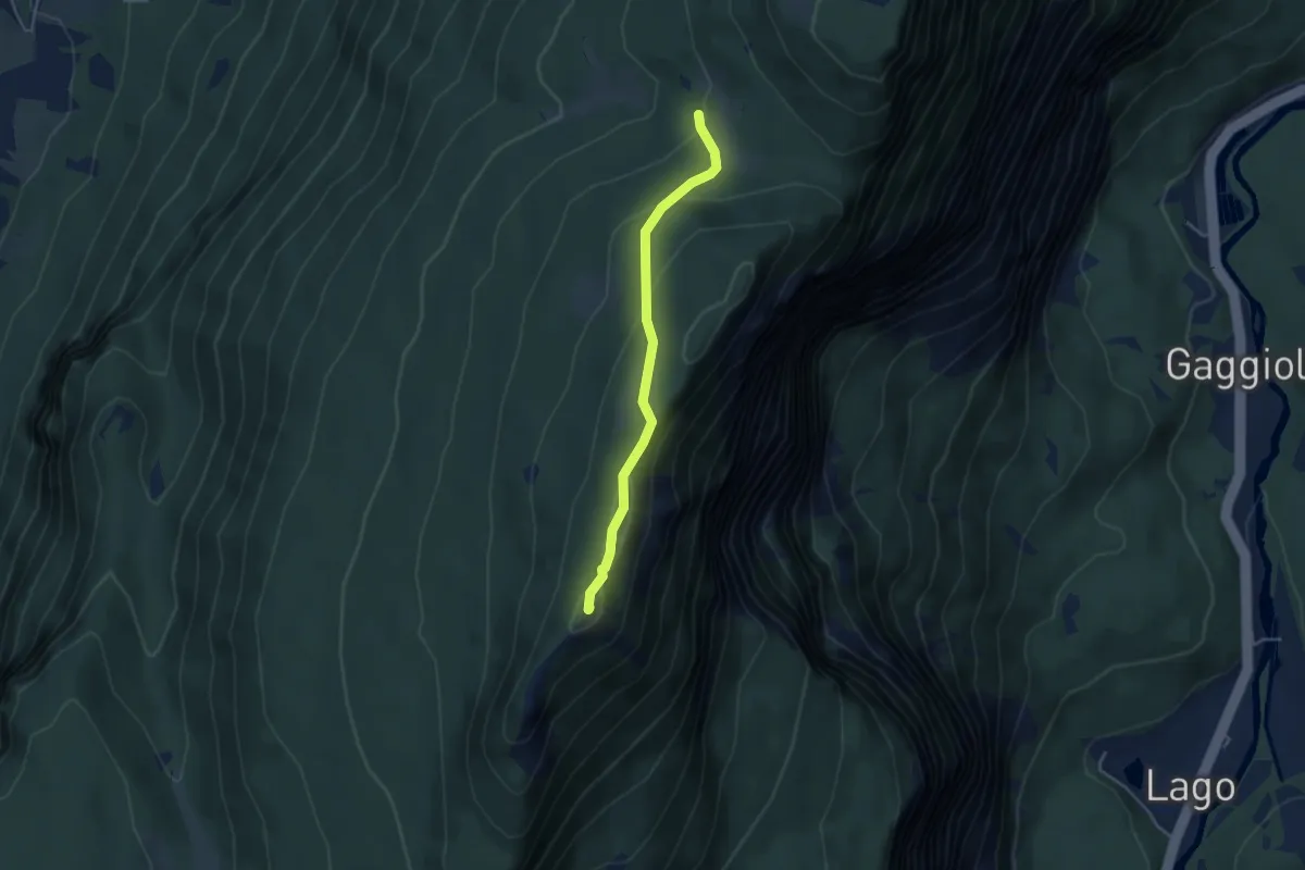
Easy · Summit
presso Baita Cargoni (bivio 408) – Busa del Lumac - Val Bona Alta
3.8 km · ↑ 172 m · 1 h 16 min · 9 km away
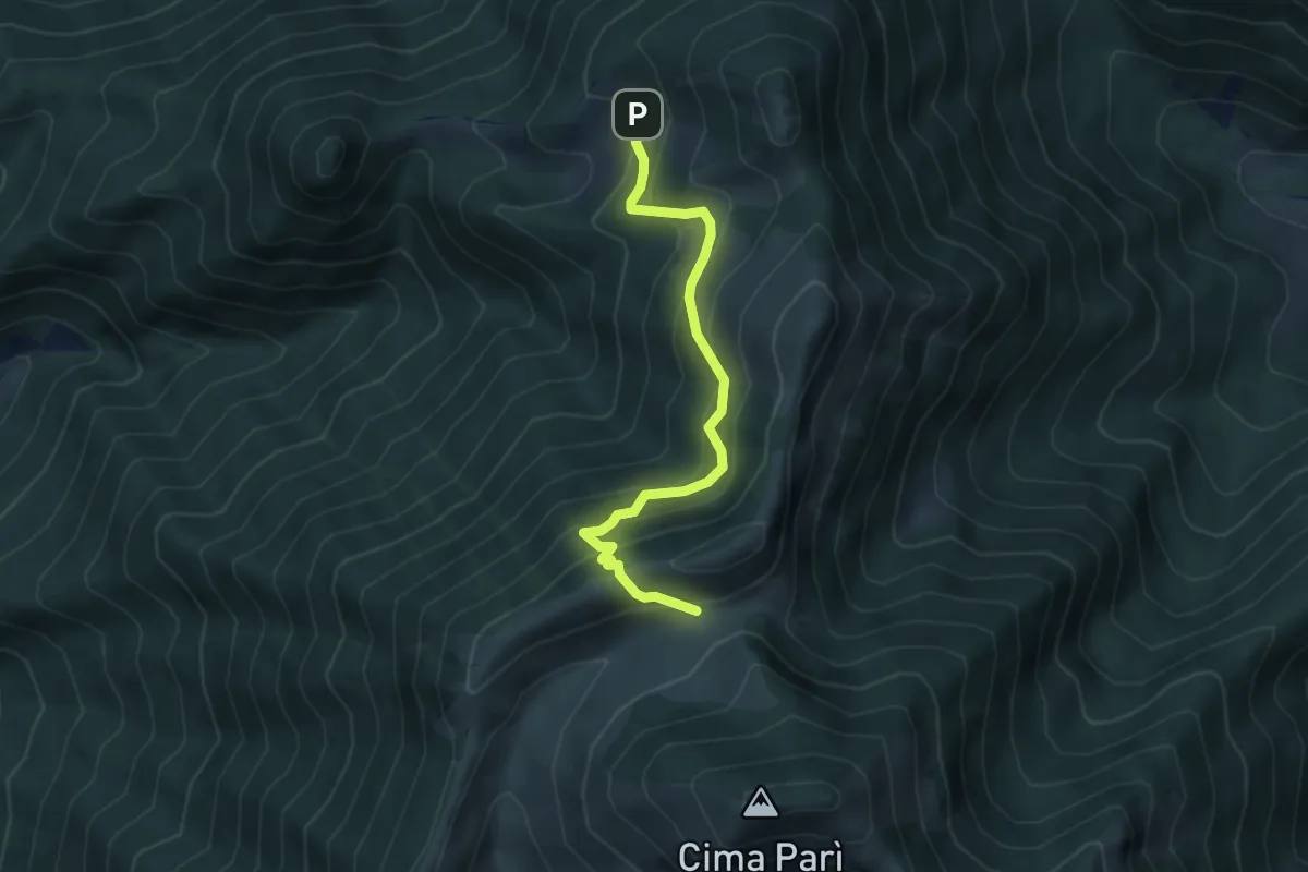
Medium · Trail
Senter de le Vache "Jacopo Santoni"
4.6 km · ↑ 426 m · 2 h 1 min · 10 km away
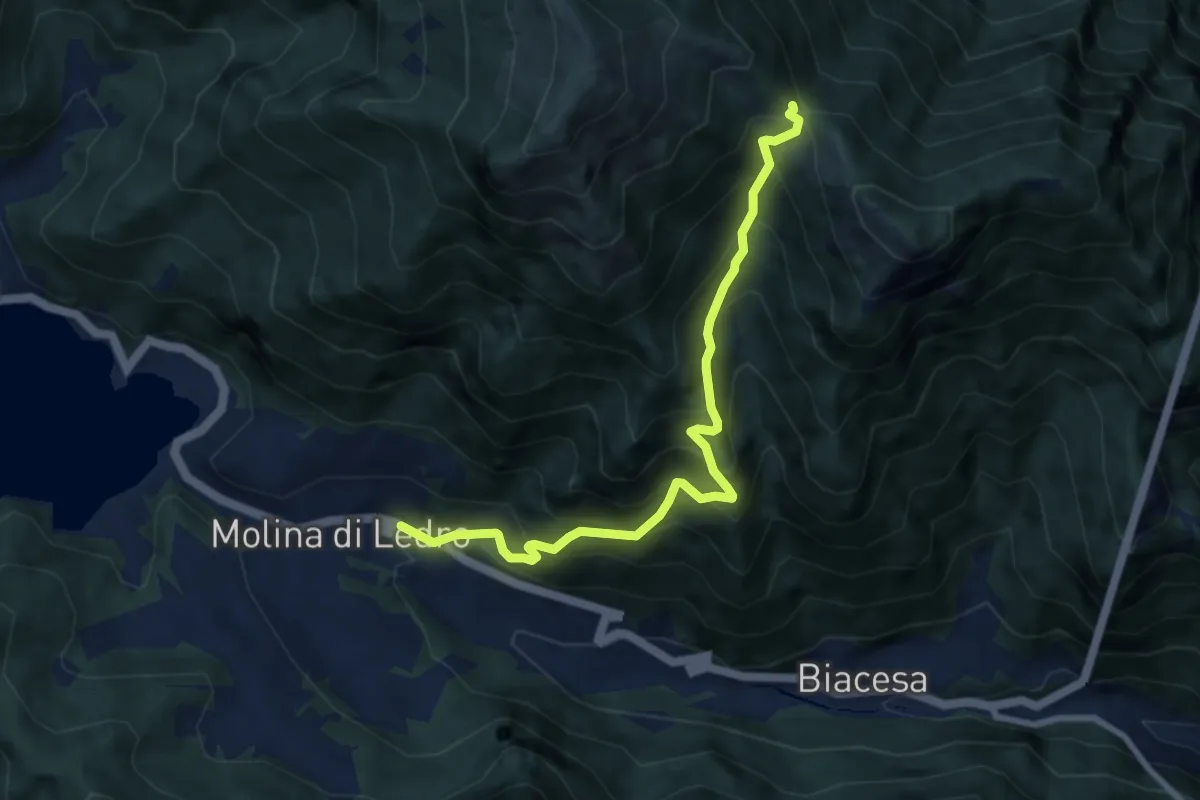
Demanding · Trail
Sentér de Giumela
8.0 km · ↑ 913 m · 3 h 53 min · 10 km away
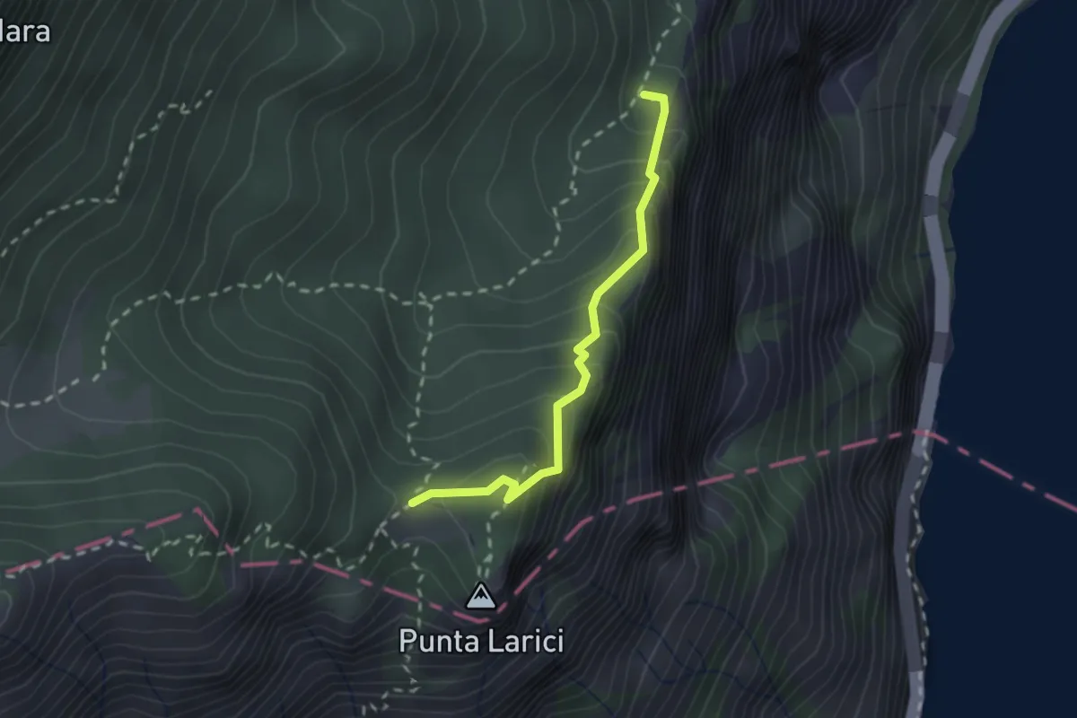
Demanding · Trail
Sentér de la Costa
2.1 km · ↑ 205 m · 56 min · 10 km away
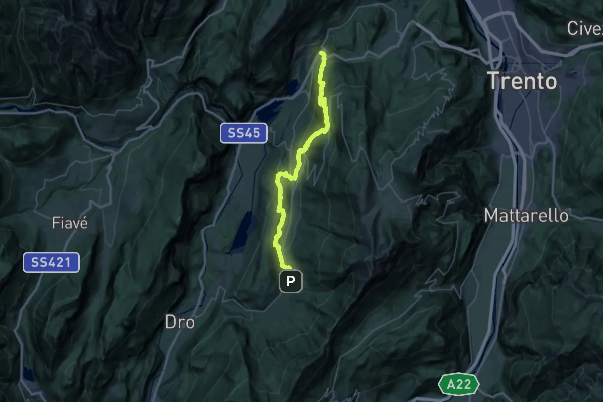
Medium · Trail
Cammino dei Sette Laghi - tappa 3
15.8 km · ↑ 711 m · 5 h 36 min · 10 km away
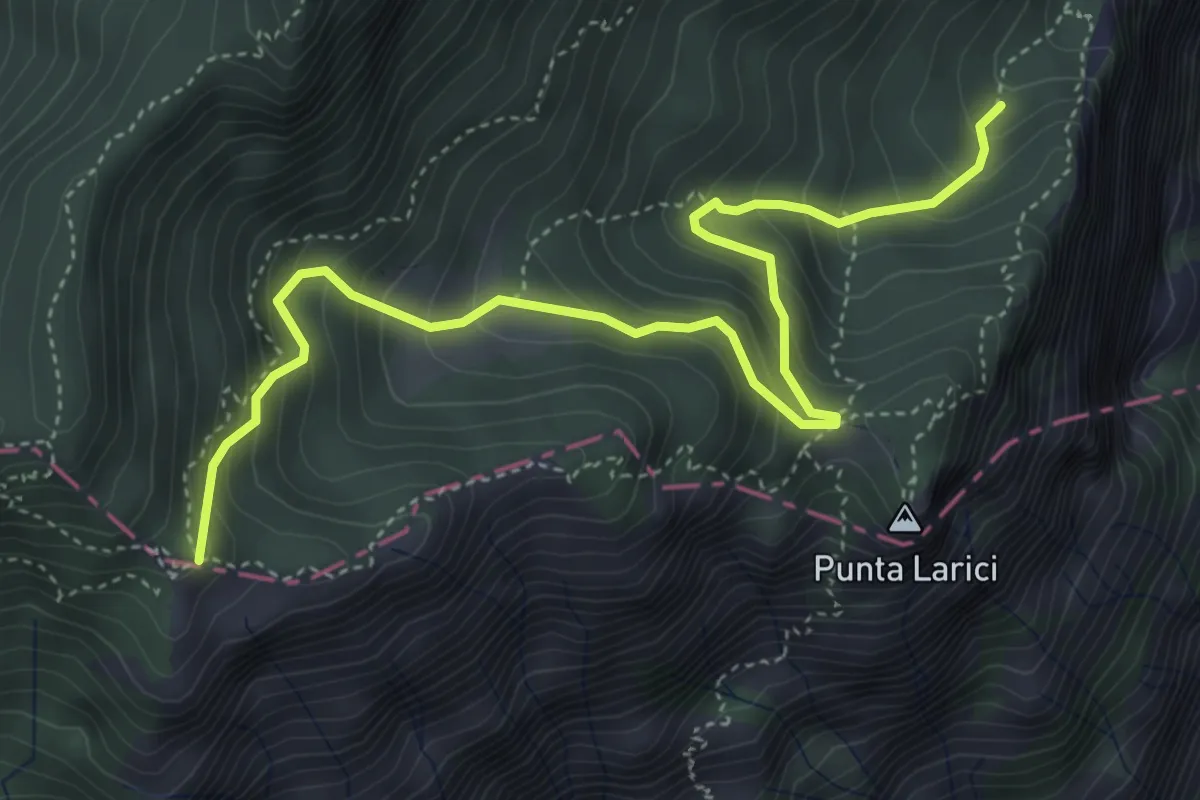
Medium · Trail
Sentér de Palaer
5.3 km · ↑ 522 m · 2 h 22 min · 10 km away
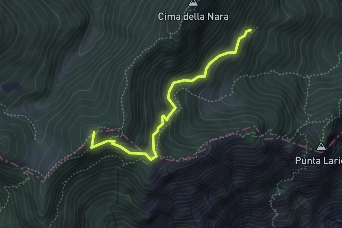
Medium · Summit
Presso Pregasina (bivio O422B) – Passo di Vil (bivio O421)
4.0 km · ↑ 379 m · 1 h 46 min · 10 km away
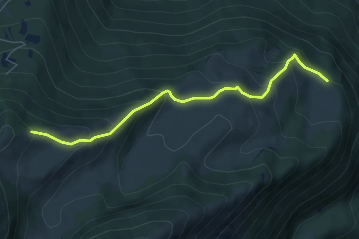
Medium · Trail
Presso Malga Campei di sotto (bivio 650) – Sella nord-est del Monte Varagna (bivio 601)
5.6 km · ↑ 413 m · 2 h 13 min · 10 km away
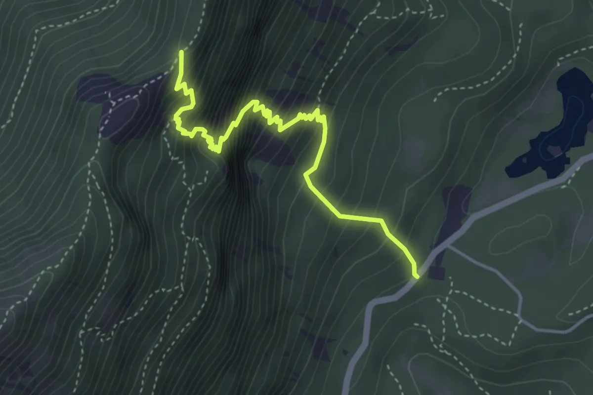
Demanding · Trail
Senter dei Dalderi
4.2 km · ↑ 597 m · 2 h 17 min · 10 km away
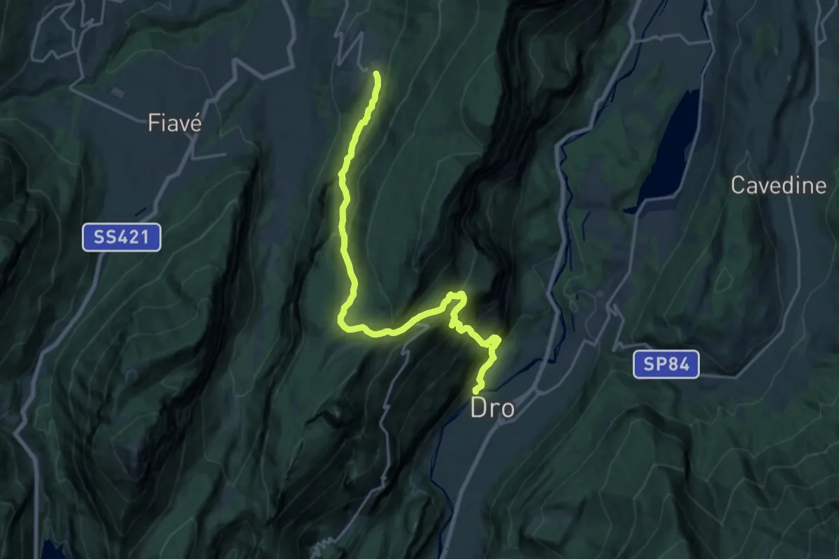
Demanding · Trail
Sentiero attrezzato dell'Angiom
9.9 km · ↑ 461 m · 3 h 47 min · 10 km away
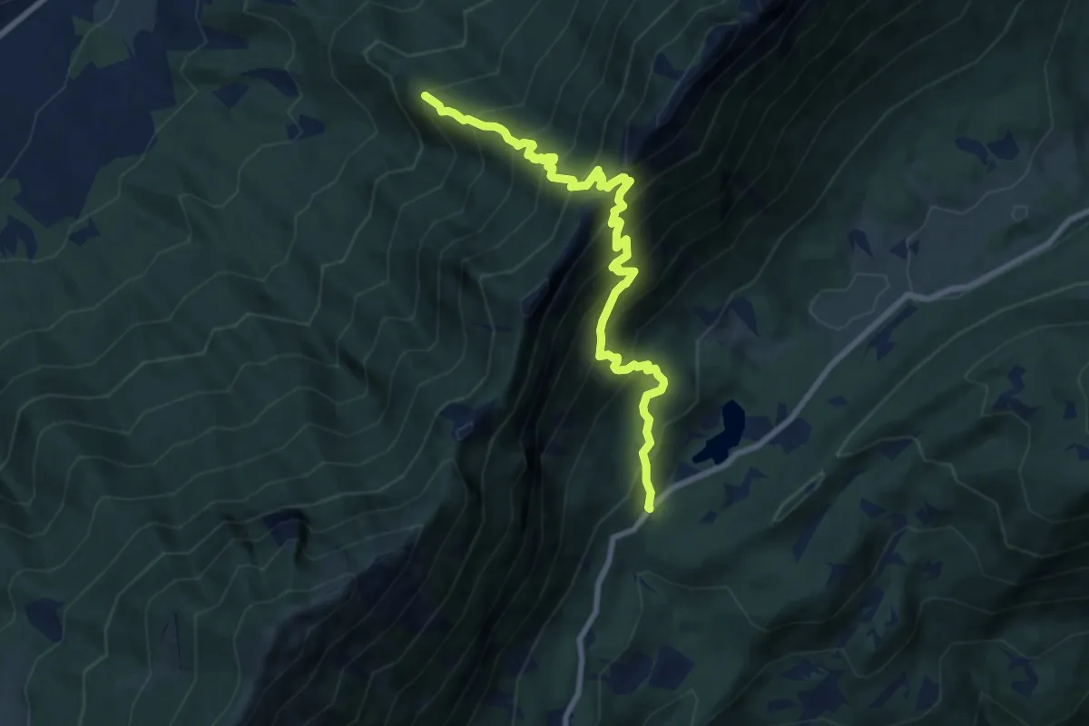
Demanding · Trail
Capitello de Doera - presso il Lago di Cei – Bait dei Amizi (bivio 635)
8.8 km · ↑ 1131 m · 4 h 32 min · 10 km away
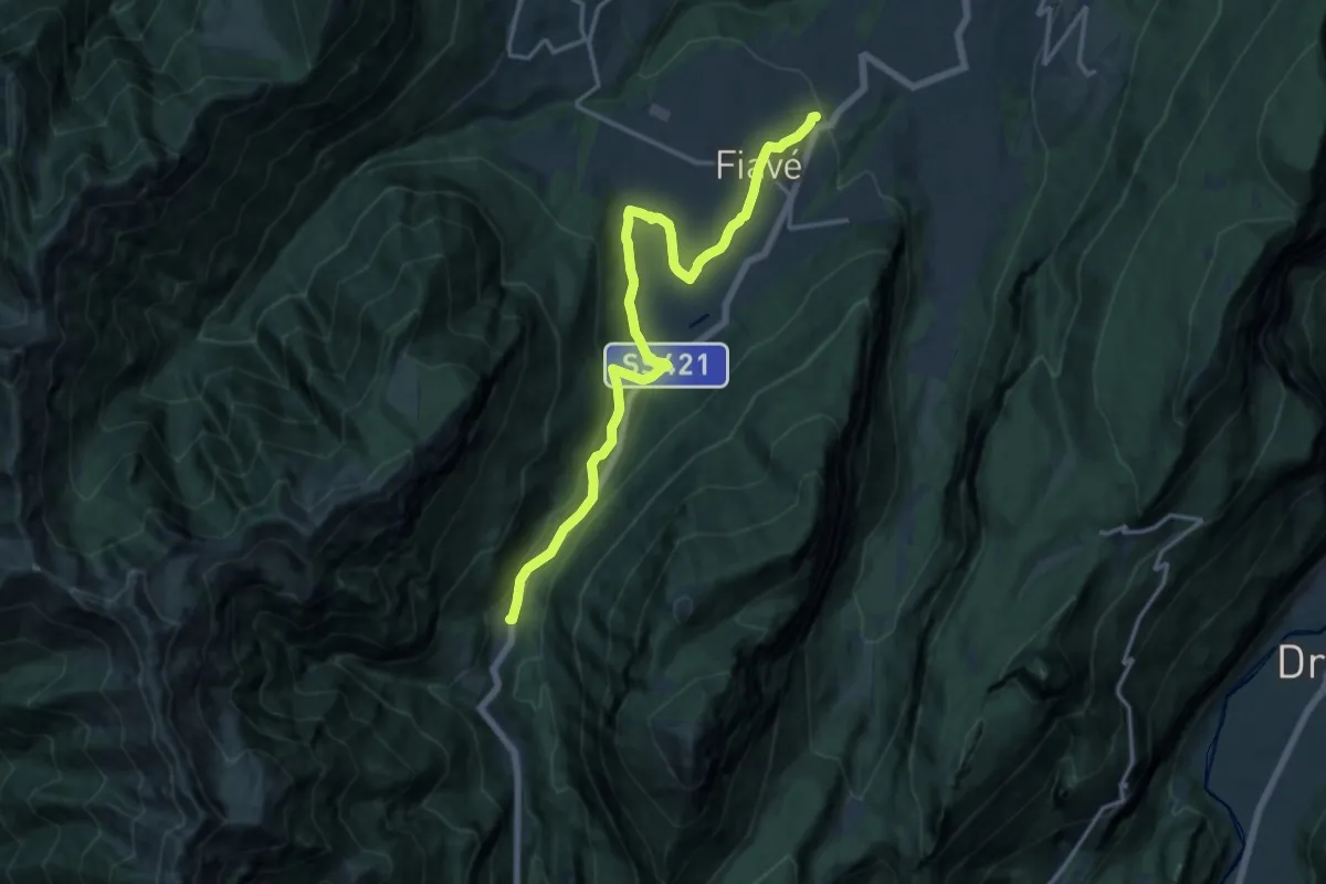
Medium · Trail
Andreas Hofer Weg
16.5 km · ↑ 353 m · 4 h 40 min · 10 km away
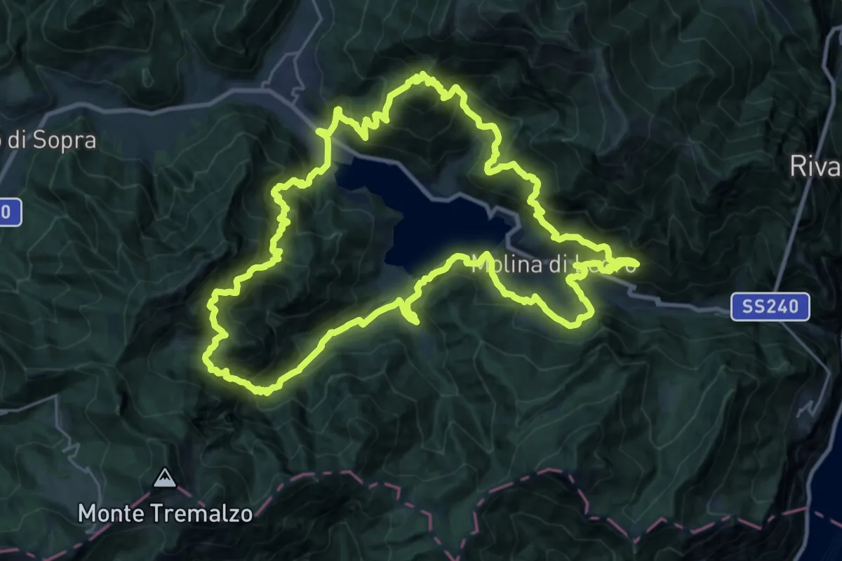
Demanding · Summit
Ledro Trek Medium
27.2 km · ↑ 2499 m · 12 h 12 min · 11 km away
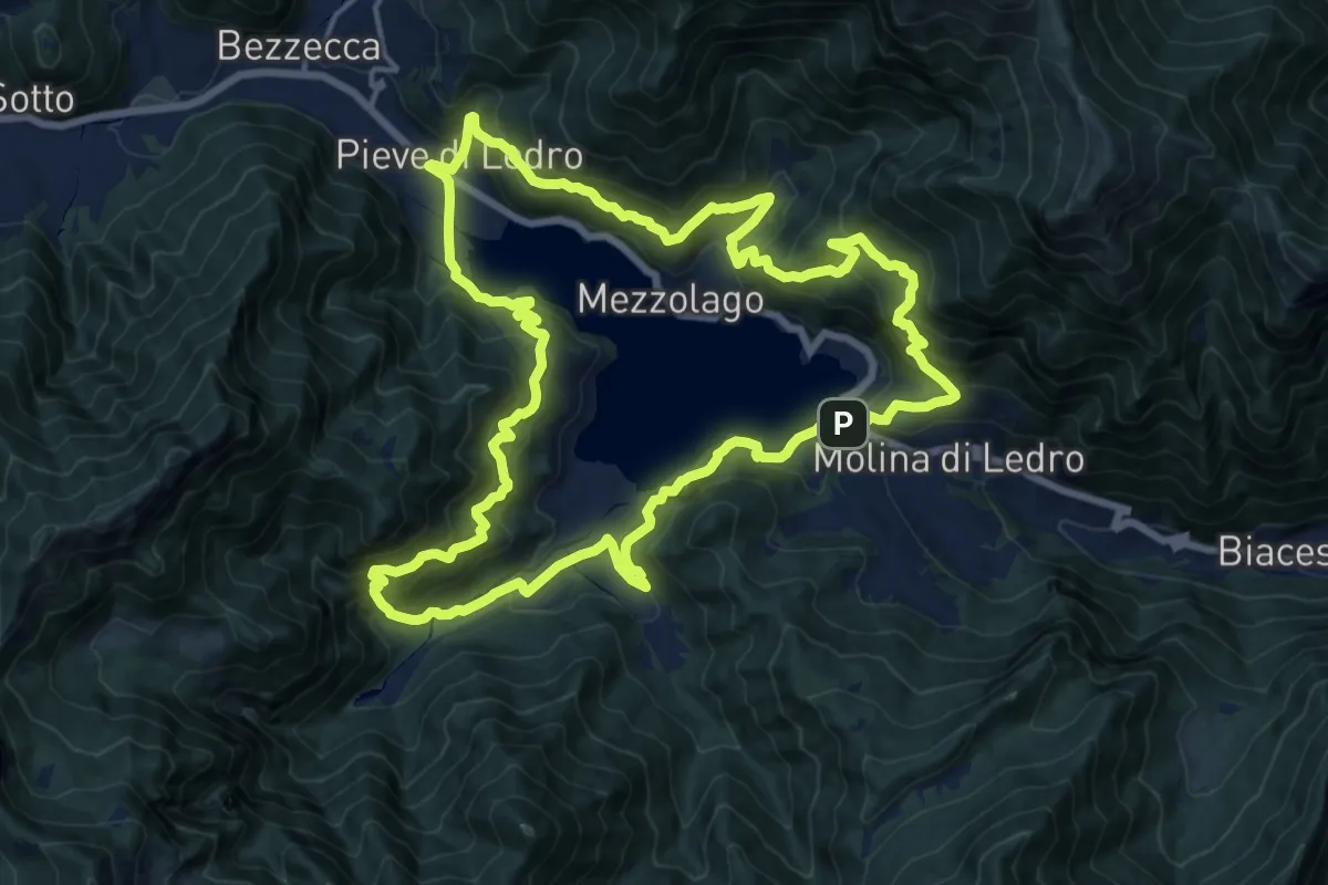
Demanding · Trail
Ledro Trek Low
17.8 km · ↑ 1428 m · 7 h 33 min · 11 km away
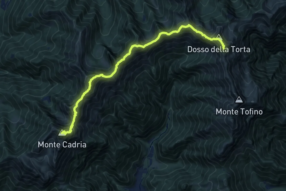
Demanding · Summit
Sentiero della Pace
17.1 km · ↑ 1757 m · 7 h 50 min · 11 km away
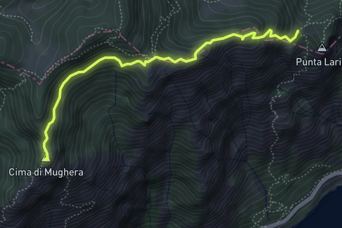
Demanding · Summit
Cima Mughera – Bocca Larici
5.2 km · ↑ 489 m · 2 h 18 min · 11 km away
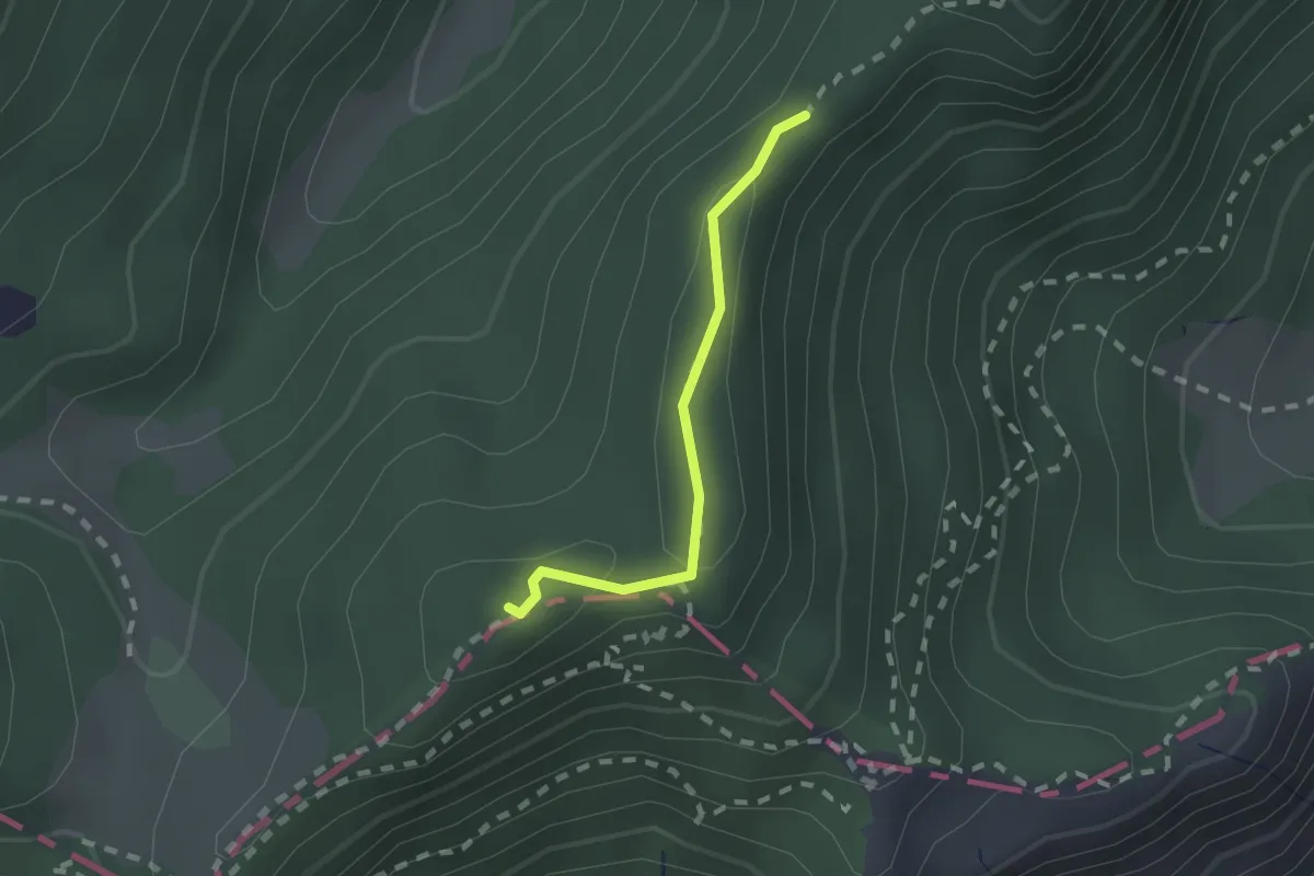
Medium · Summit
Sentér di Cima Nara
1.6 km · ↑ 47 m · 28 min · 11 km away
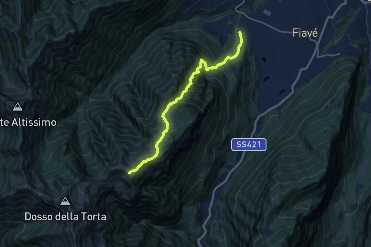
Demanding · Summit
Cornelle – Malga Nardis (bivio 420)
11.6 km · ↑ 1258 m · 5 h 28 min · 11 km away
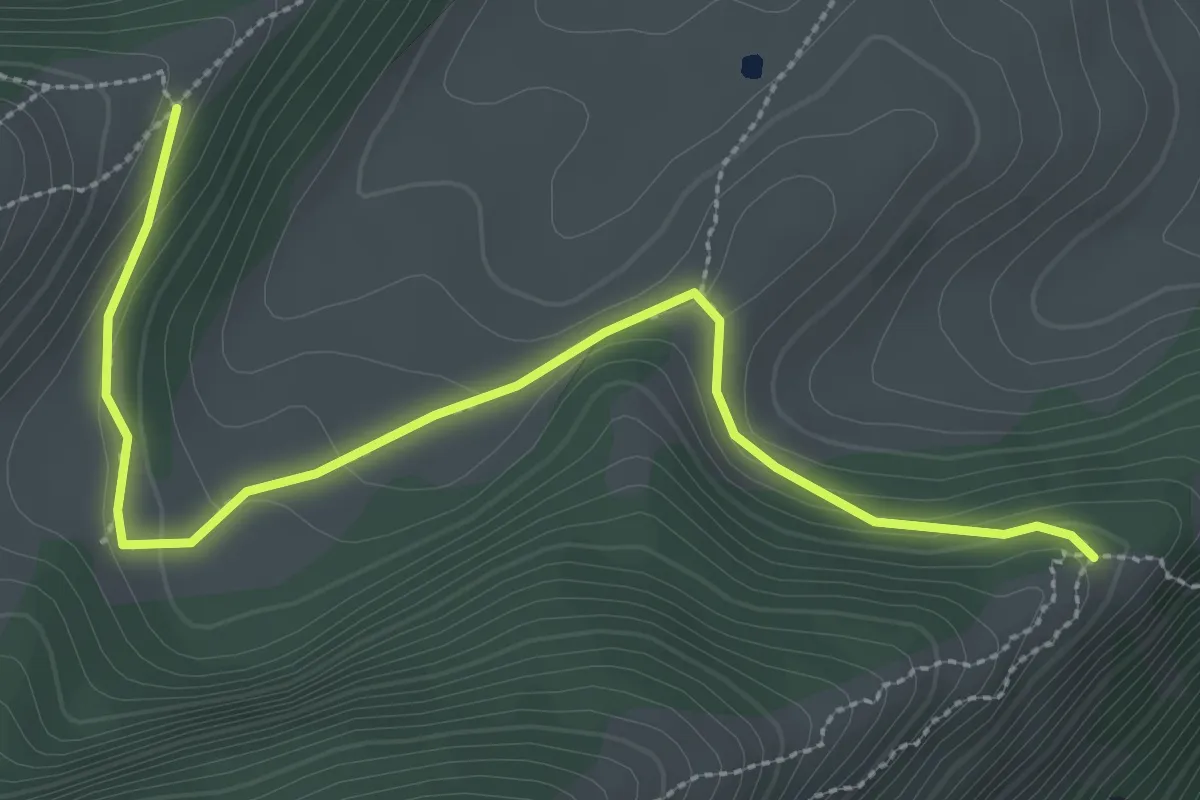
Medium · Trail
Cresta nord-est del Monticello (bivio 650) – Crinale nord del Parol
3.5 km · ↑ 93 m · 1 h 2 min · 11 km away
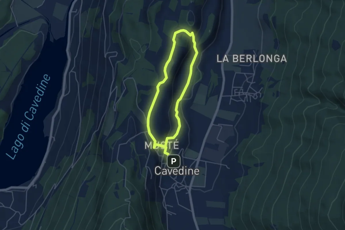
Easy · Trail
Passeggiata archeologica di Cavedine
3.8 km · ↑ 129 m · 1 h 12 min · 11 km away
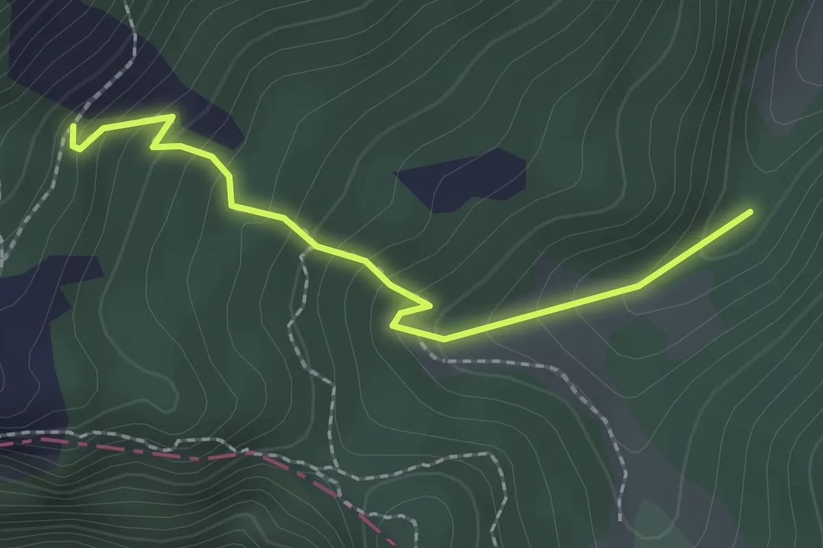
Easy · Trail
Monte Carone – Malga Vil
2.0 km · ↑ 175 m · 51 min · 11 km away