Trails near Arco
167 hikes starting within 15 km, nearest first.
Nearest first, page 3 of 4
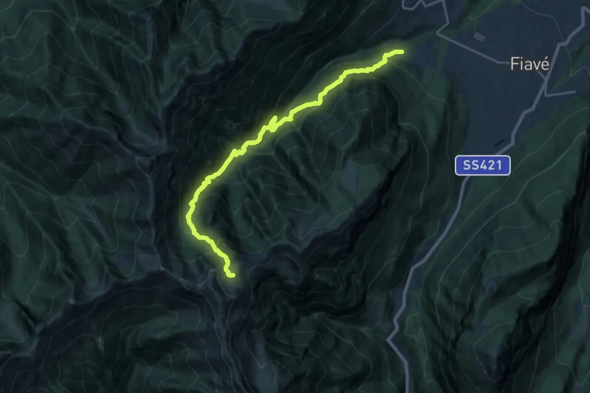
Demanding · Trail
Maso Clena – Greper de Nardis (bivio 420)
16.5 km · ↑ 1616 m · 7 h 23 min · 11 km away
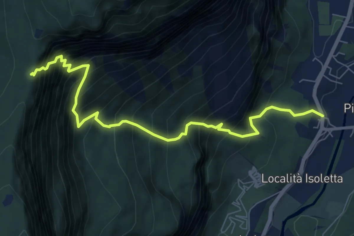
Expert · Trail
Via ferrata del Rampin
7.2 km · ↑ 1139 m · 4 h 10 min · 12 km away
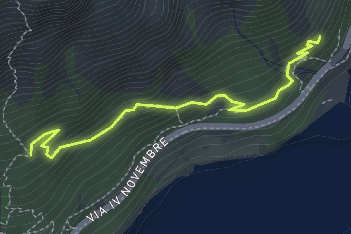
Medium · Trail
Sentiero del Sole - Nord
2.3 km · ↑ 194 m · 58 min · 12 km away
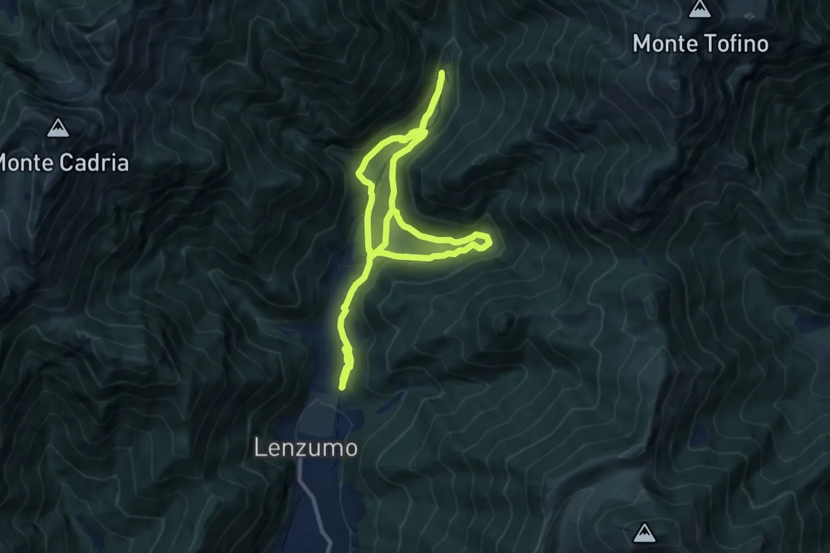
Medium · Trail
Sentiero naturalistico di fondovalle
8.4 km · ↑ 229 m · 2 h 37 min · 12 km away
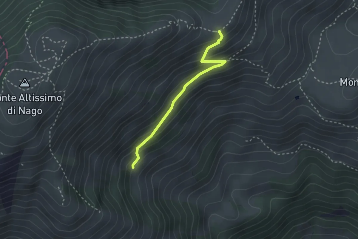
Medium · Trail
Sentiero dei Cirmoli Augusto Girardelli
2.4 km · ↑ 182 m · 57 min · 12 km away
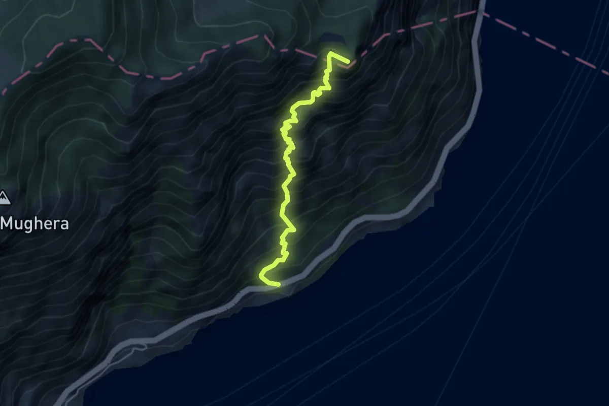
Demanding · Summit
Sentiero del Sole
4.2 km · ↑ 811 m · 2 h 44 min · 12 km away
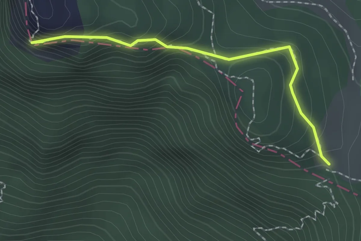
Easy · Summit
Punta di Mois – Prati di Guil
1.8 km · ↑ 166 m · 47 min · 12 km away
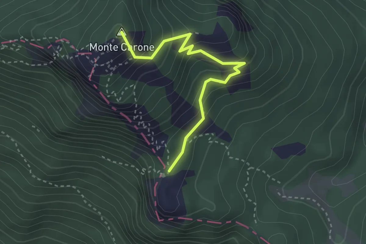
Medium · Summit
Monte Carone – Punta Mois
2.9 km · ↑ 306 m · 1 h 21 min · 12 km away
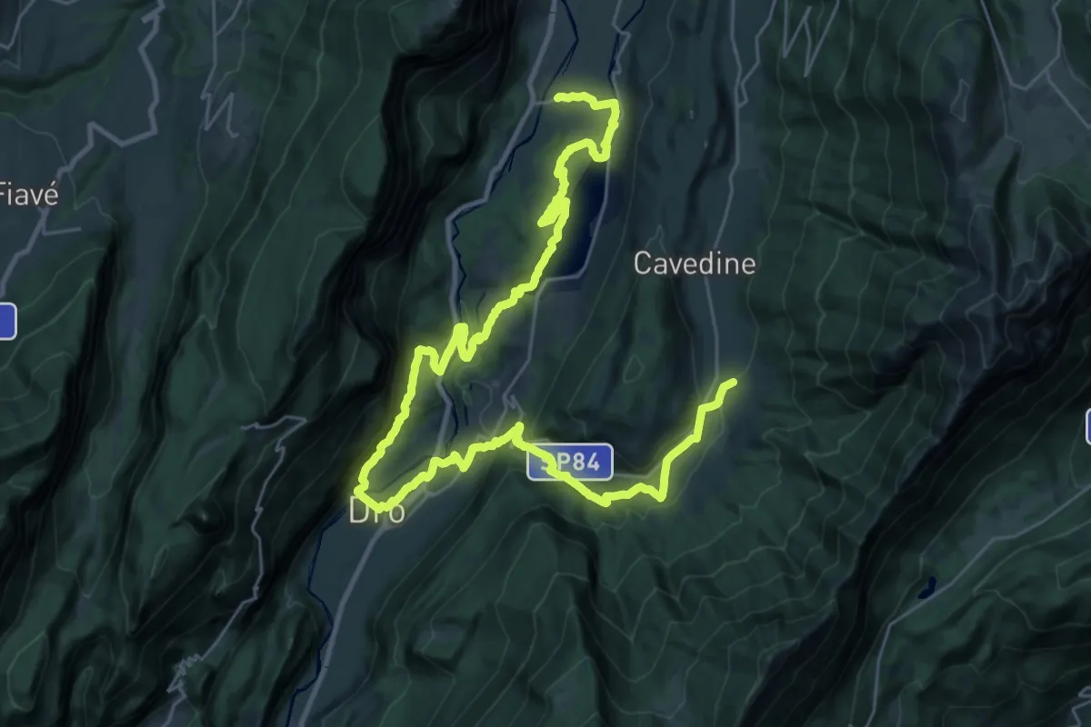
Demanding · Trail
Cammino dei Sette Laghi - tappa 4
21.3 km · ↑ 748 m · 6 h 46 min · 12 km away
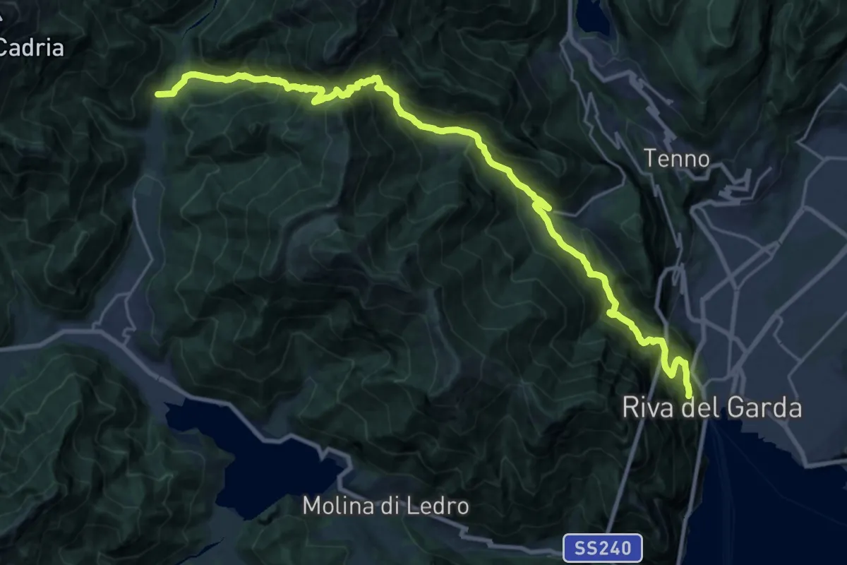
Demanding · Trail
Presso Bastione (bivio 404) – Pastoria - Val di Concei
13.1 km · ↑ 834 m · 5 h 25 min · 12 km away
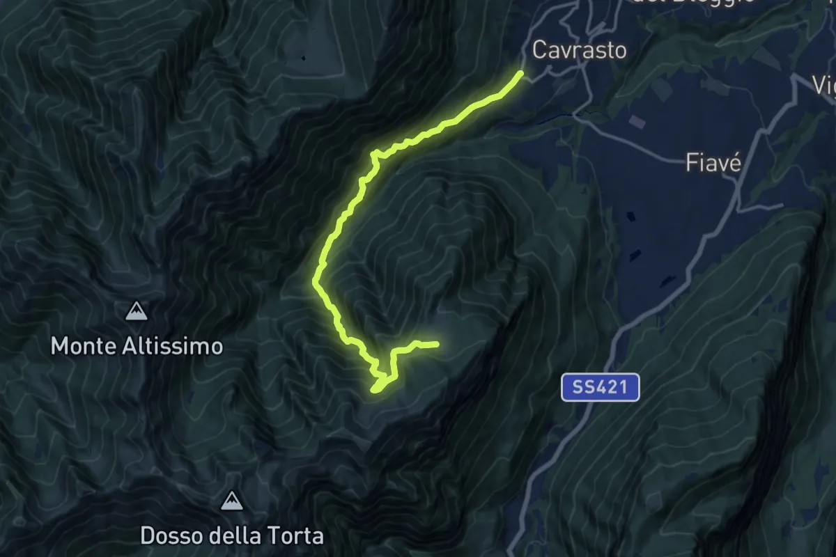
Demanding · Cabin
Sentiero di Tormendos
14.7 km · ↑ 1356 m · 6 h 25 min · 12 km away
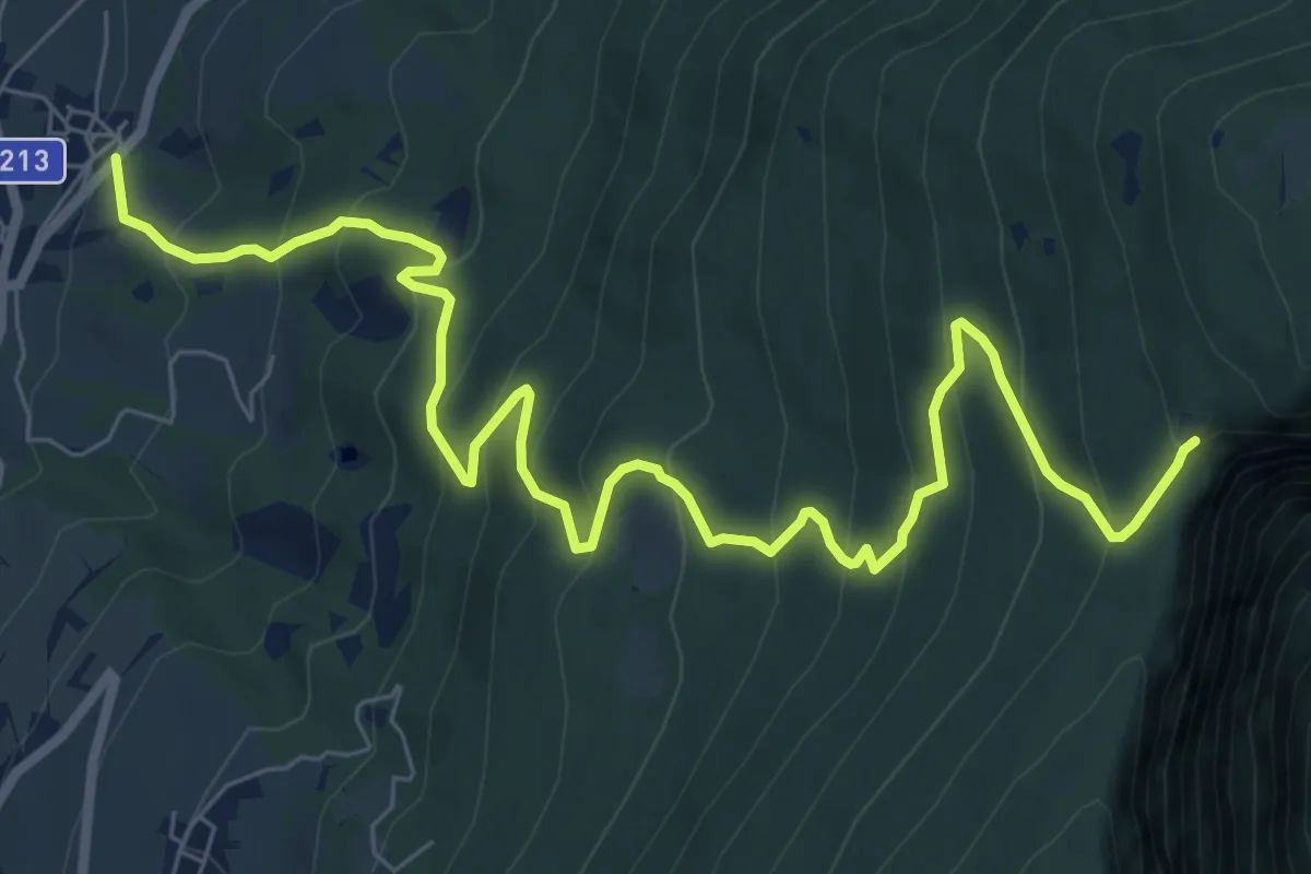
Demanding · Trail
Godenzo – Duson
9.8 km · ↑ 825 m · 4 h 6 min · 12 km away
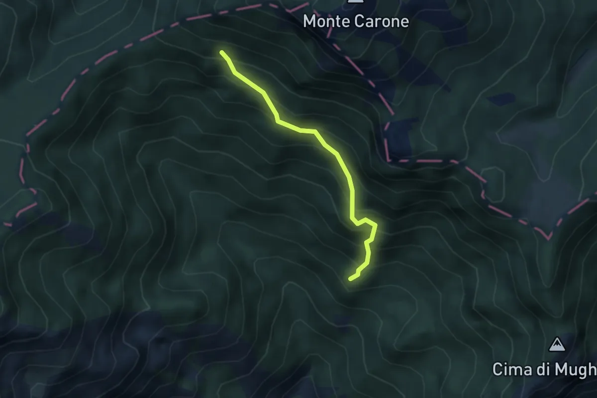
Medium · Summit
Val Piana, Baita Segala
3.0 km · ↑ 423 m · 1 h 38 min · 12 km away
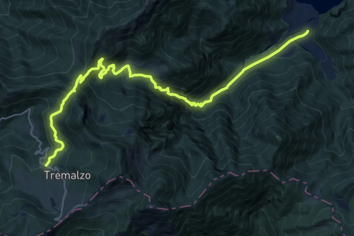
Demanding · Cabin
Senter de Malga Giù
17.9 km · ↑ 1206 m · 6 h 51 min · 12 km away
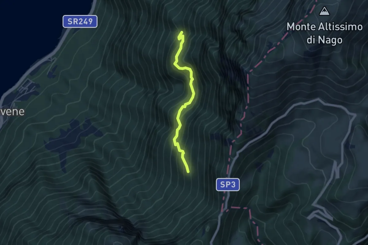
Medium · Trail
Dosso Spirano – Bocca di Navene
4.5 km · ↑ 471 m · 2 h 5 min · 12 km away
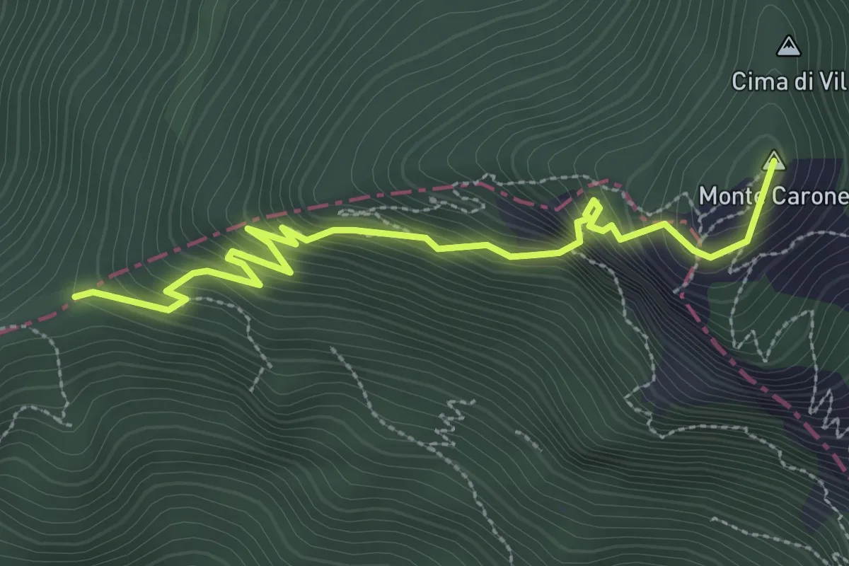
Expert · Summit
Agostino Tosi
3.3 km · ↑ 412 m · 1 h 40 min · 13 km away
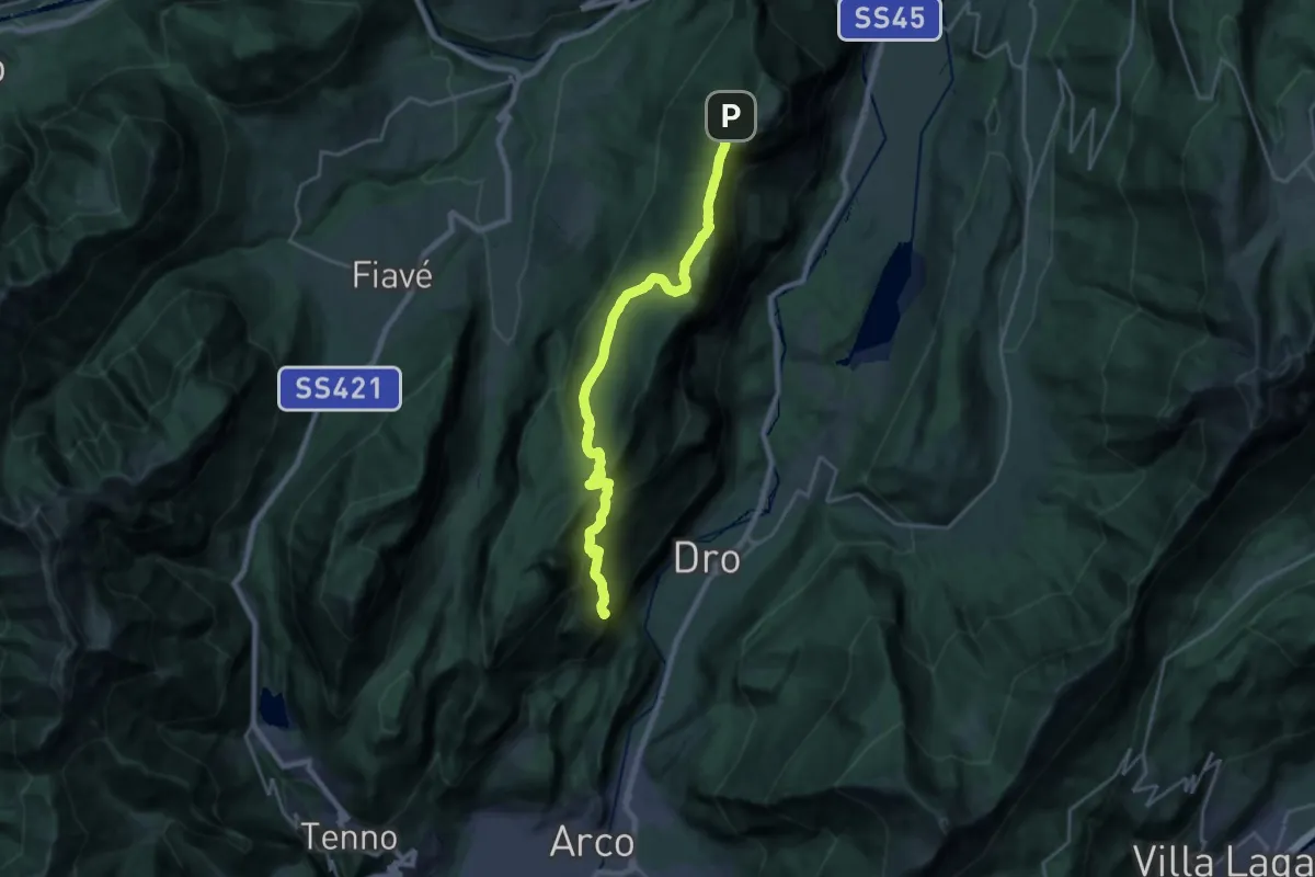
Demanding · Summit
Arco - Parco Arciducale – Le Quadre (bivio 411)
22.5 km · ↑ 1129 m · 7 h 46 min · 13 km away
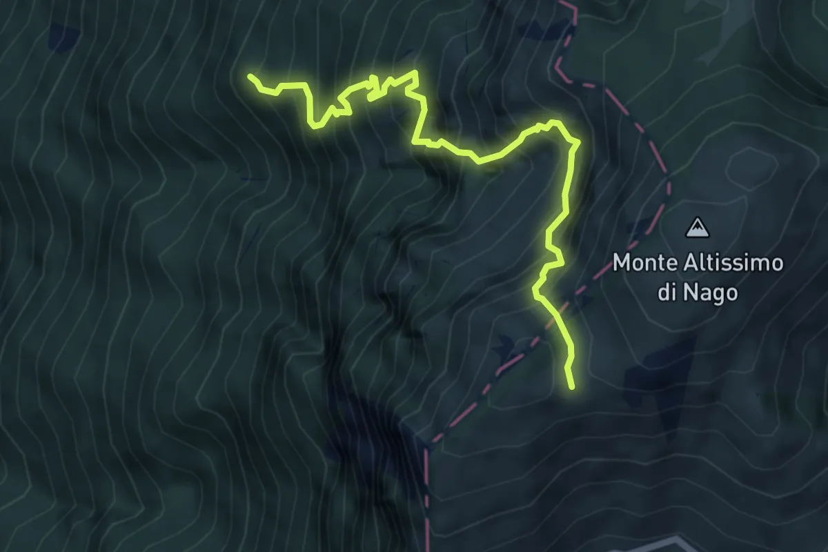
Demanding · Summit
Dosso dei Roveri - da sent. 6 – Busa Brodeghera - inn. sent. 651
6.1 km · ↑ 1204 m · 4 h 3 min · 13 km away
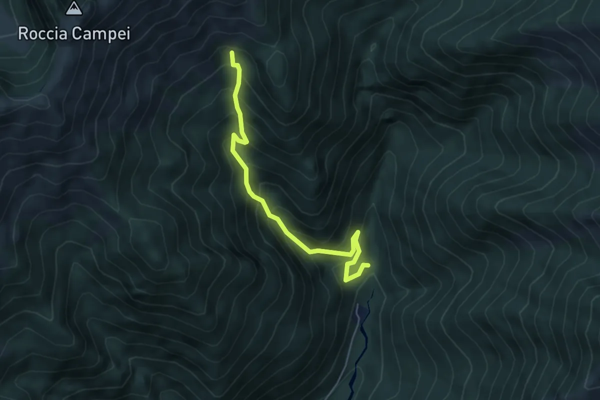
Medium · Trail
Sentér de Lomar
4.7 km · ↑ 591 m · 2 h 24 min · 13 km away
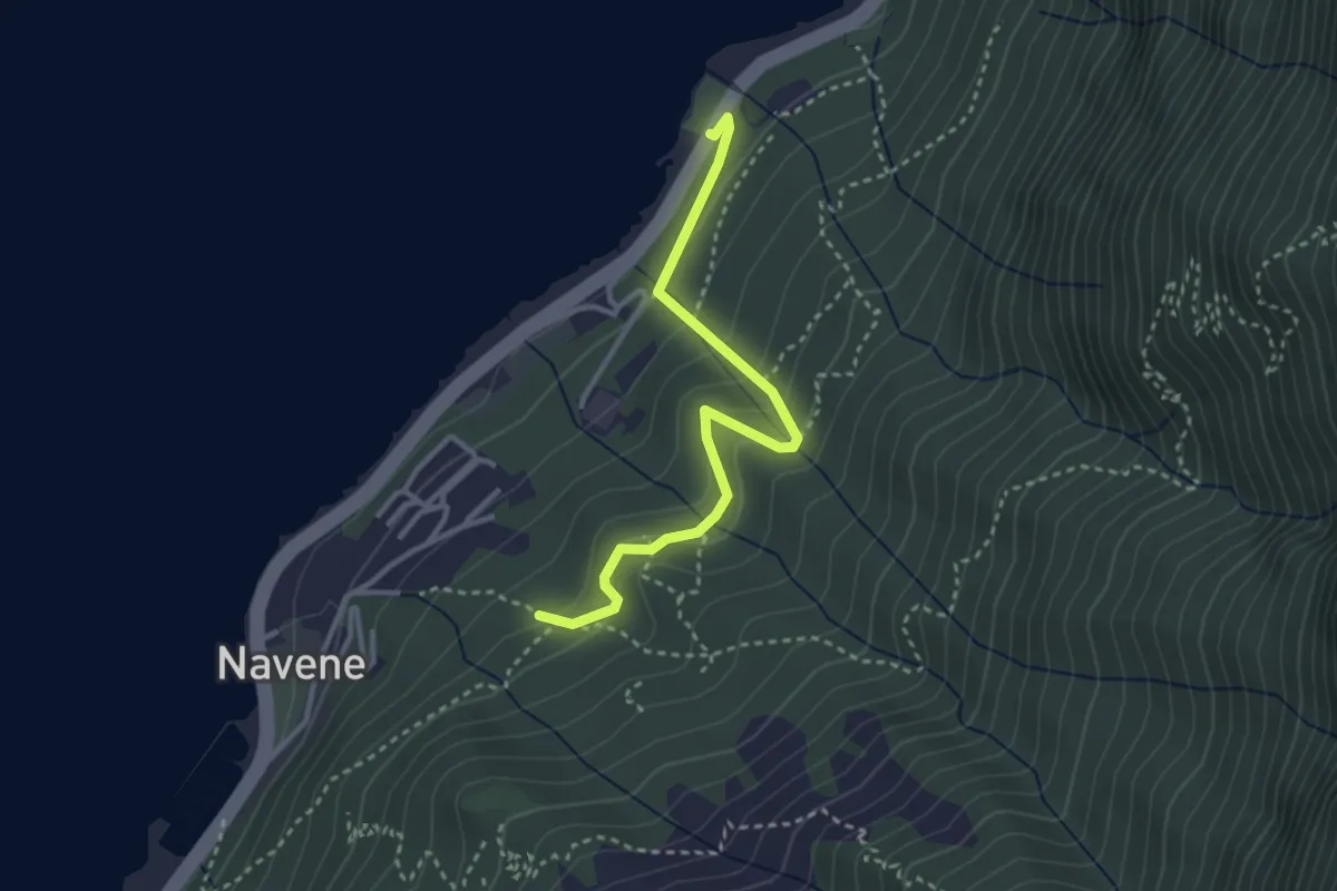
Easy · Trail
Intersezione sentiero 4 sopra Navene – Strada Regionale 249 Gardesana Orientale presso fermata autobus e parcheggio località Casello
3.2 km · ↑ 251 m · 1 h 18 min · 13 km away
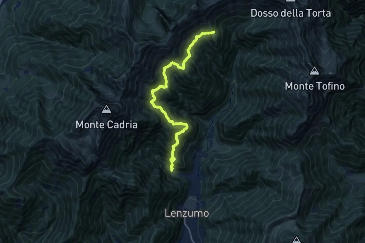
Demanding · Trail
Sentér de le Baite
13.4 km · ↑ 1256 m · 5 h 54 min · 13 km away
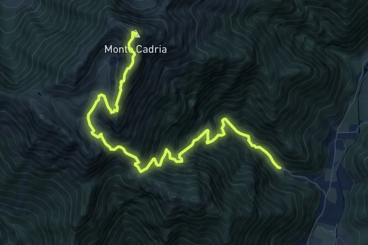
Demanding · Summit
Senter de Vies
12.4 km · ↑ 1276 m · 5 h 42 min · 13 km away
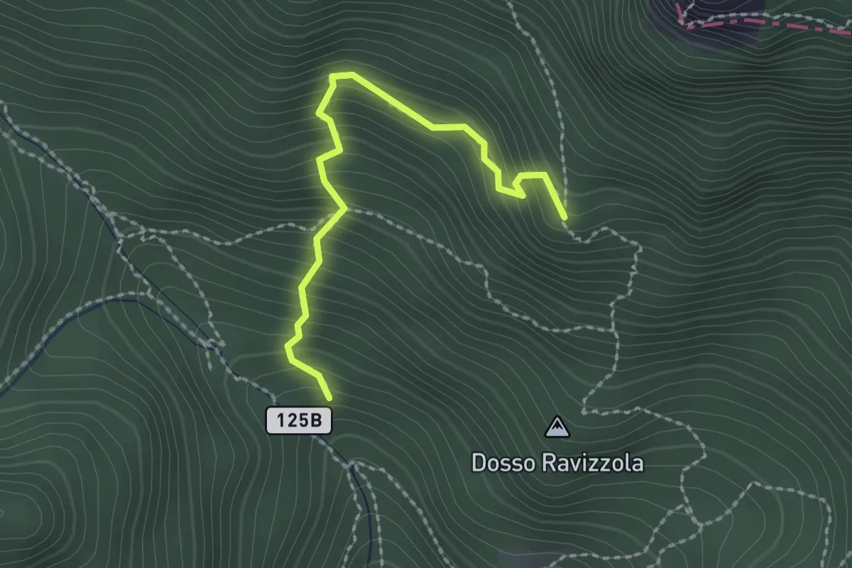
Medium · Trail
Senter de l'Aldo
2.1 km · ↑ 287 m · 1 h 7 min · 13 km away
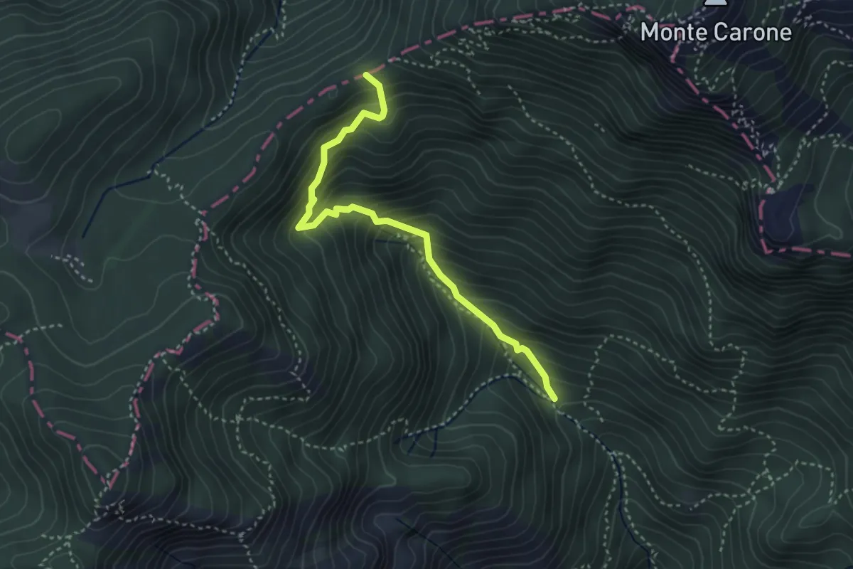
Medium · Trail
Pala dei Salcc – Bocca dei Fortini
3.5 km · ↑ 451 m · 1 h 49 min · 13 km away
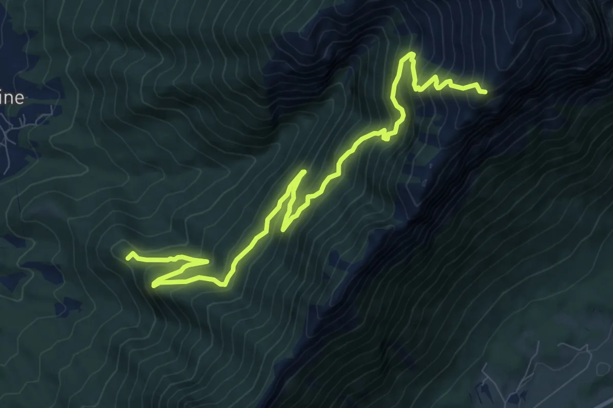
Demanding · Summit
Sentiero dei Carboneri
11.9 km · ↑ 1188 m · 5 h 22 min · 13 km away
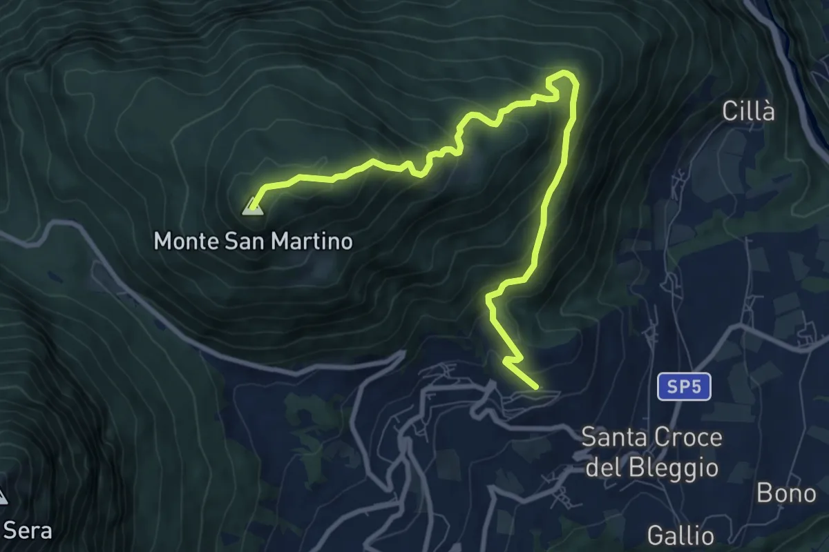
Medium · Summit
Balbido - frazione di Bleggio Superiore – Passo Duron
9.6 km · ↑ 644 m · 3 h 40 min · 13 km away
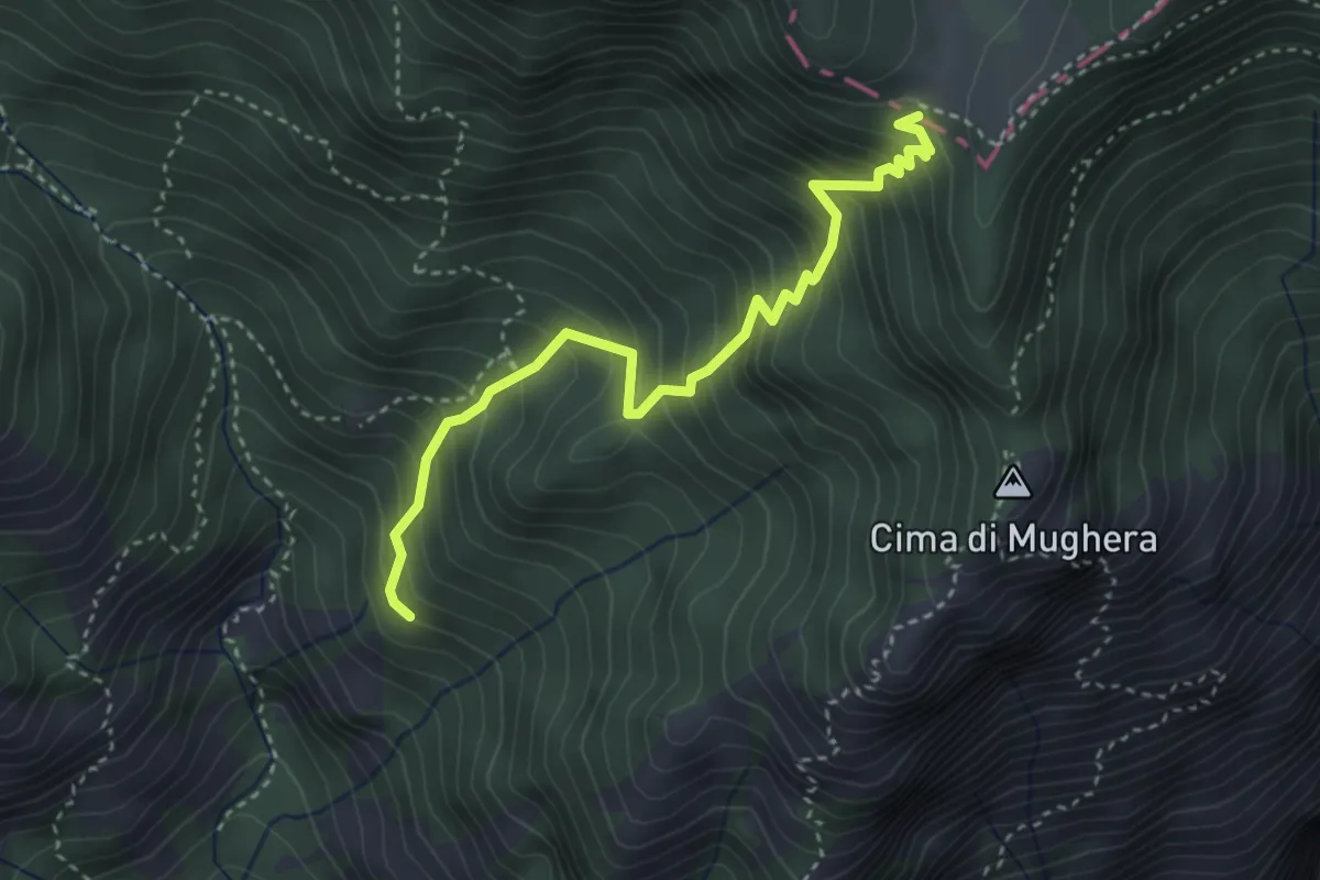
Medium · Trail
Valacco, Passo Gul
3.6 km · ↑ 513 m · 1 h 58 min · 13 km away
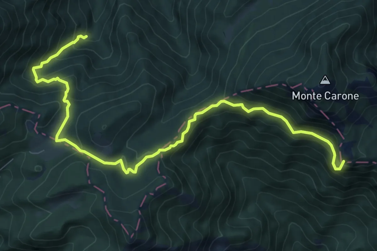
Demanding · Summit
Sentér de Malga Vil
10.7 km · ↑ 806 m · 4 h 17 min · 13 km away
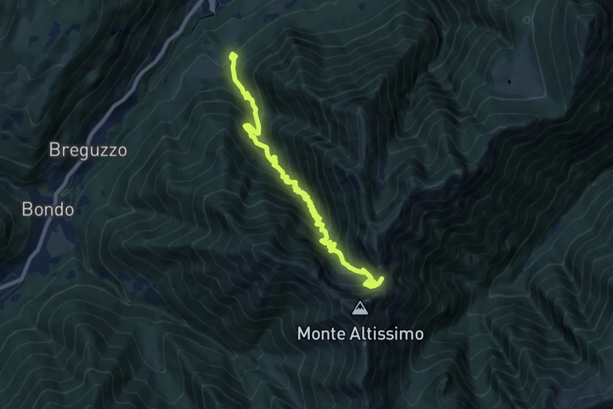
Demanding · Trail
Madonna del Lares – Bochet de la Meda (bivio 463)
13.3 km · ↑ 1122 m · 5 h 34 min · 13 km away
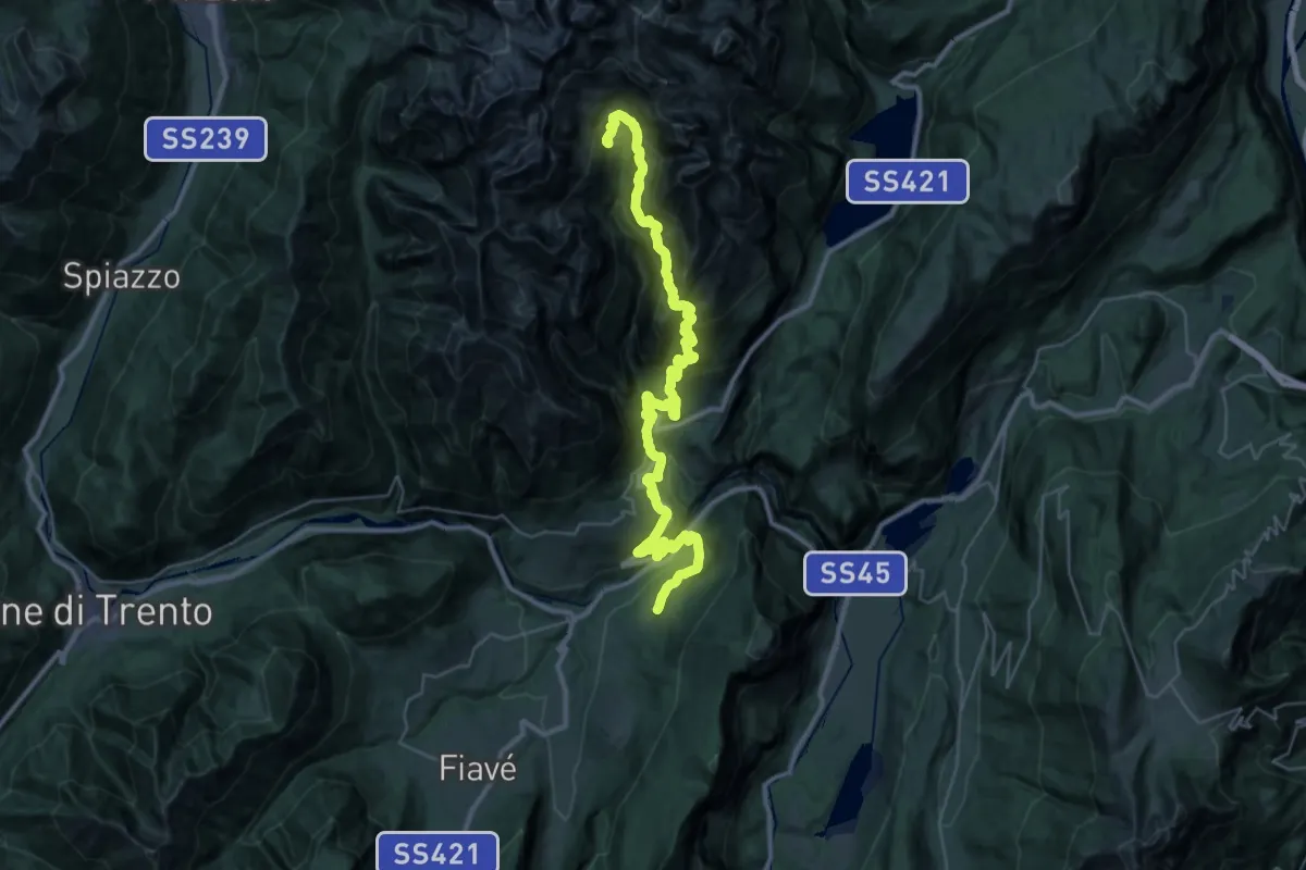
Demanding · Cabin
Itinerario Garda Brenta - Tappa 5
21.0 km · ↑ 2050 m · 9 h 6 min · 13 km away
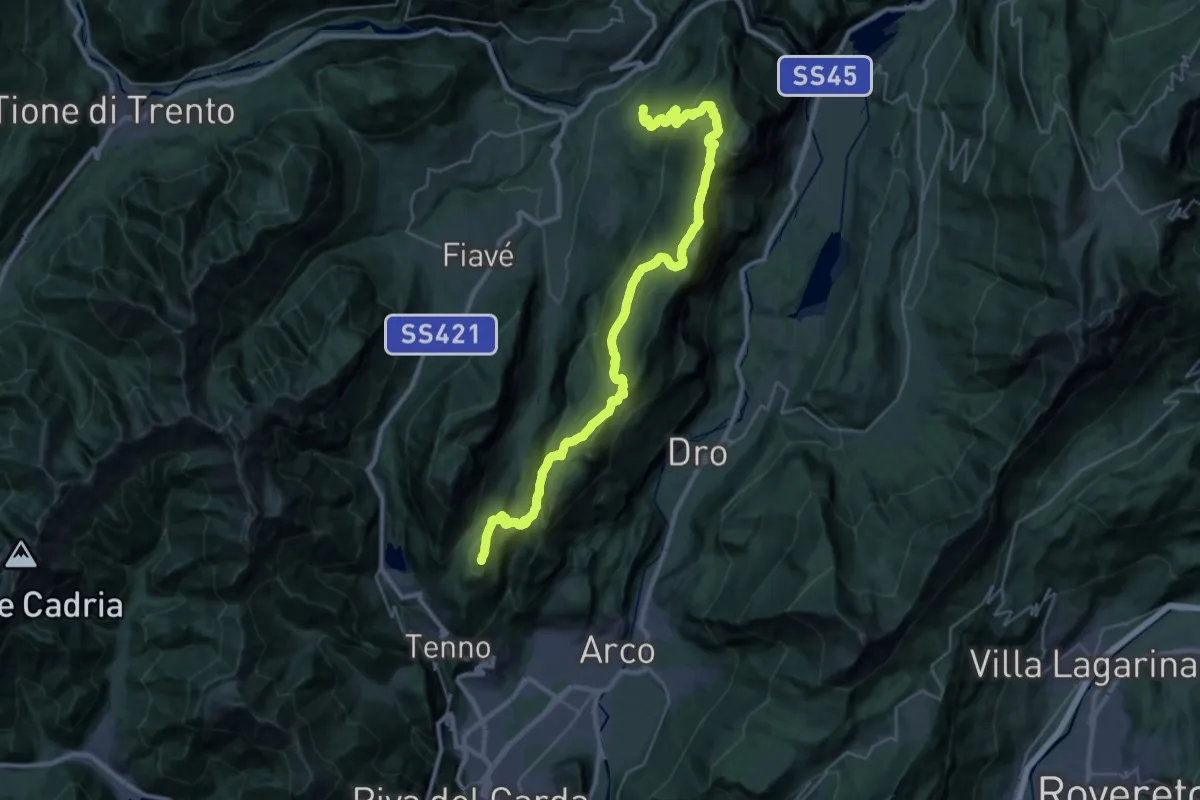
Demanding · Summit
Itinerario Garda Brenta - Tappa 6
37.8 km · ↑ 2171 m · 13 h 38 min · 13 km away
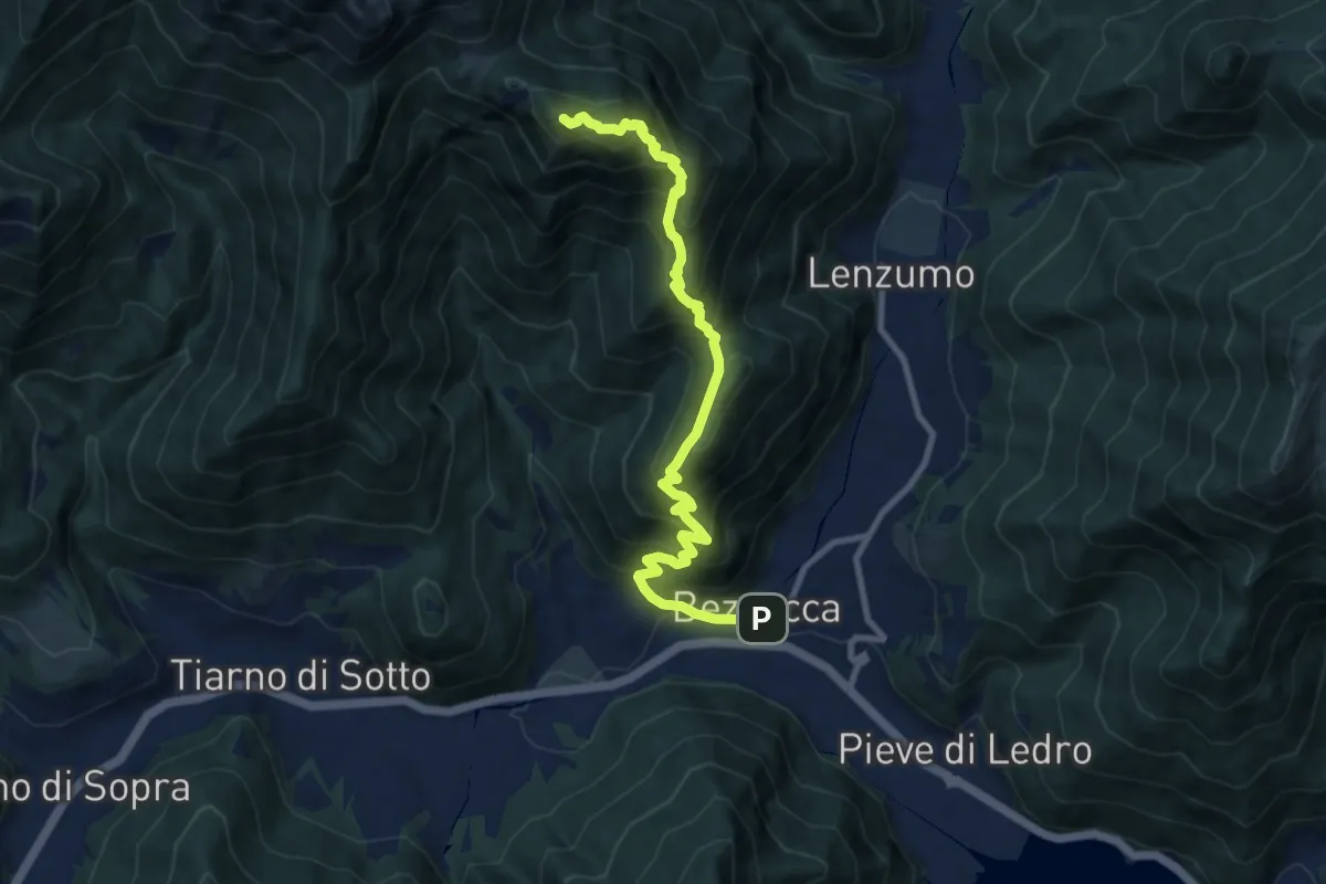
Demanding · Summit
Sentér de Chelina
10.1 km · ↑ 1087 m · 4 h 45 min · 13 km away
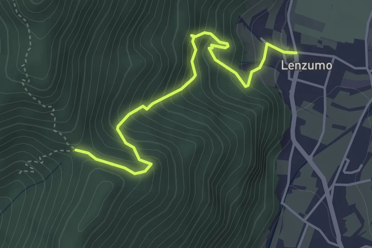
Medium · Trail
Lenzumo – Bochet de Zori (bivio O459)
3.9 km · ↑ 521 m · 2 h 3 min · 13 km away
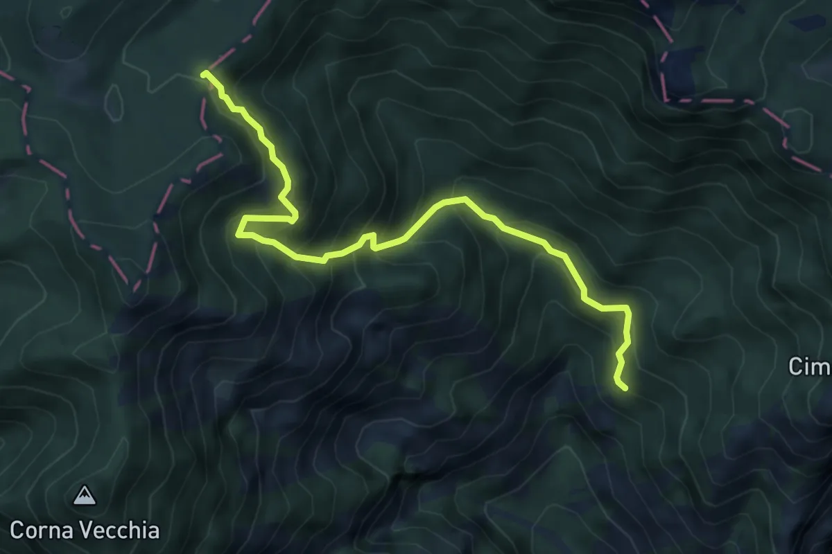
Medium · Trail
Valacco, Passo Bestana
6.2 km · ↑ 661 m · 2 h 54 min · 13 km away
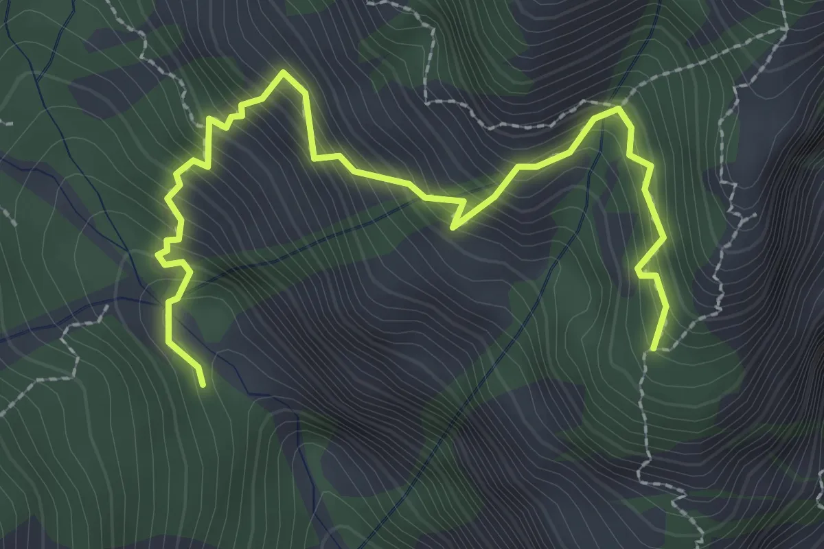
Medium · Trail
Sentiero del Bepi - Dosso dei Roveri
3.1 km · ↑ 536 m · 1 h 54 min · 13 km away
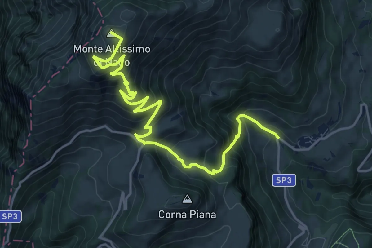
Demanding · Summit
Val de Vic - presso San Giacomo – Rifugio Altissimo "Damoano Chiesa" (bivio 601 - 622 - 651)
12.8 km · ↑ 924 m · 5 h 2 min · 13 km away
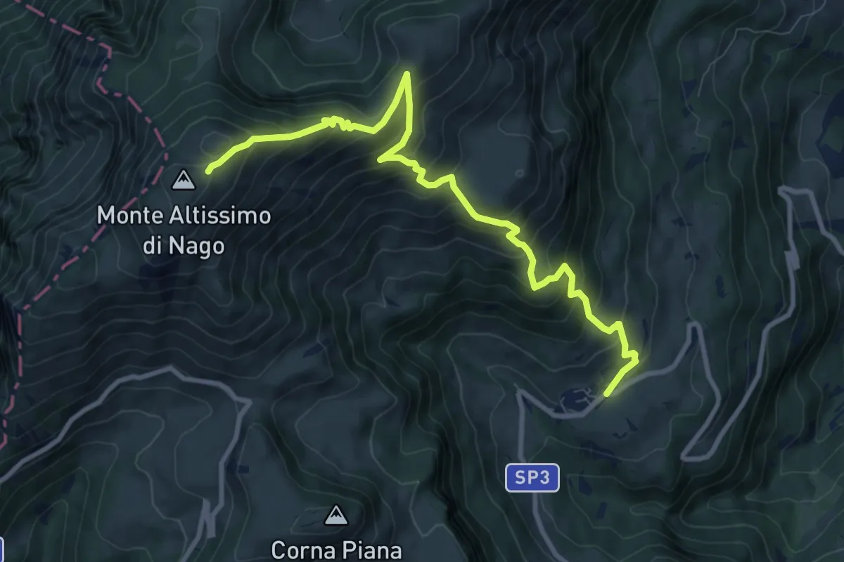
Demanding · Cabin
San Giacomo – Rifugio Altissimo "Damiano Chiesa" (bivio 601 - 633 - 651)
10.0 km · ↑ 854 m · 4 h 13 min · 14 km away
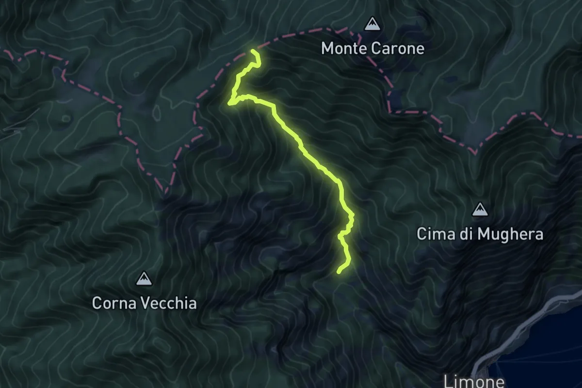
Demanding · Trail
Val da Bosch (Limone sul Garda) – Bocca dei Fortini
6.1 km · ↑ 786 m · 3 h 8 min · 14 km away
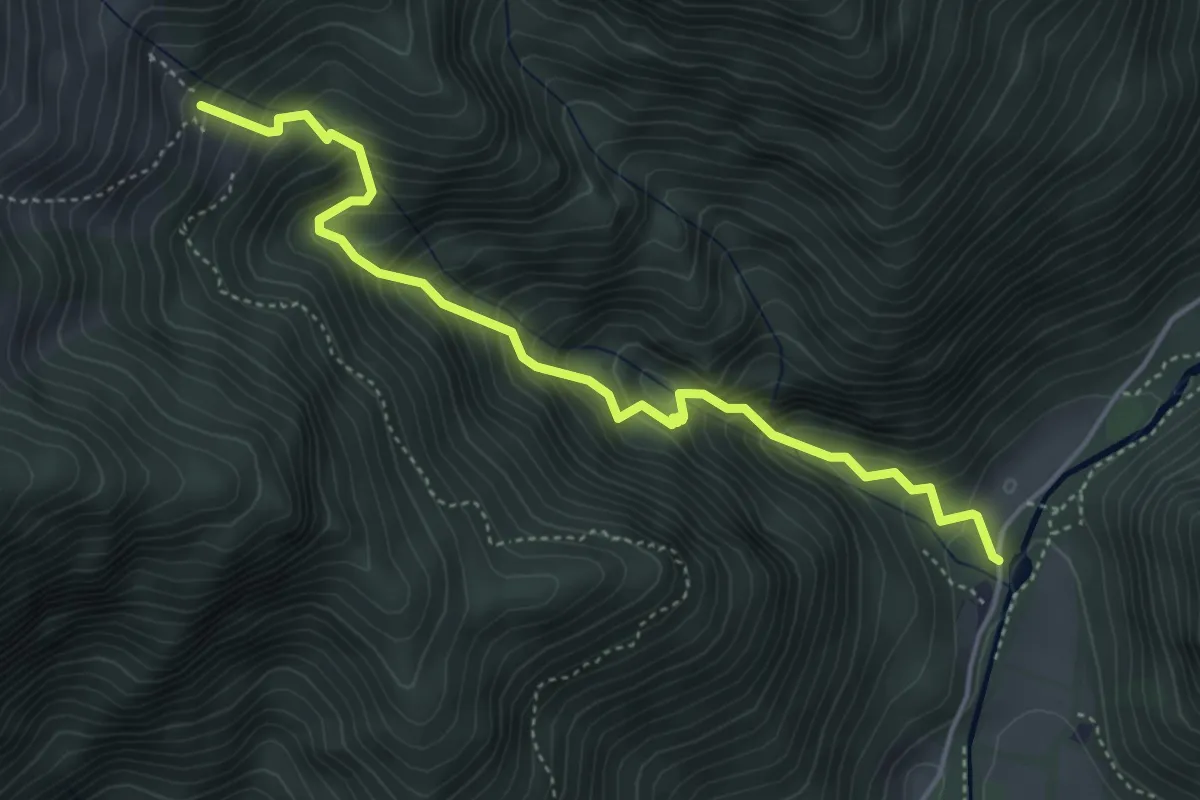
Medium · Trail
Sentér de Vesì
4.7 km · ↑ 600 m · 2 h 25 min · 14 km away
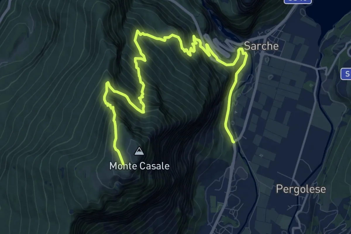
Demanding · Cabin
Ponte del gobbo - Strada Statale 45 bis – Capanna "Don Zio Pisoni" (bivio 411)
16.7 km · ↑ 1532 m · 7 h 16 min · 14 km away
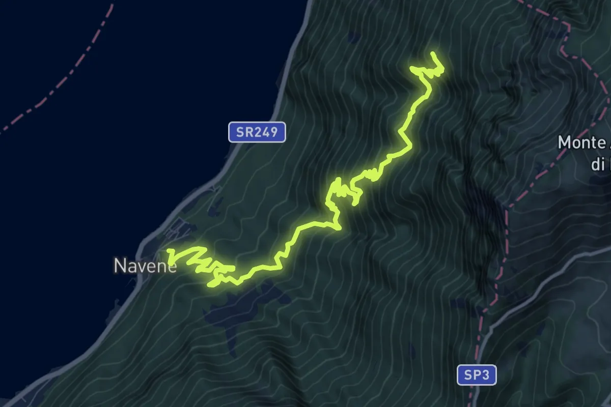
Demanding · Summit
Bassa Via del Garda
14.0 km · ↑ 1480 m · 6 h 30 min · 14 km away
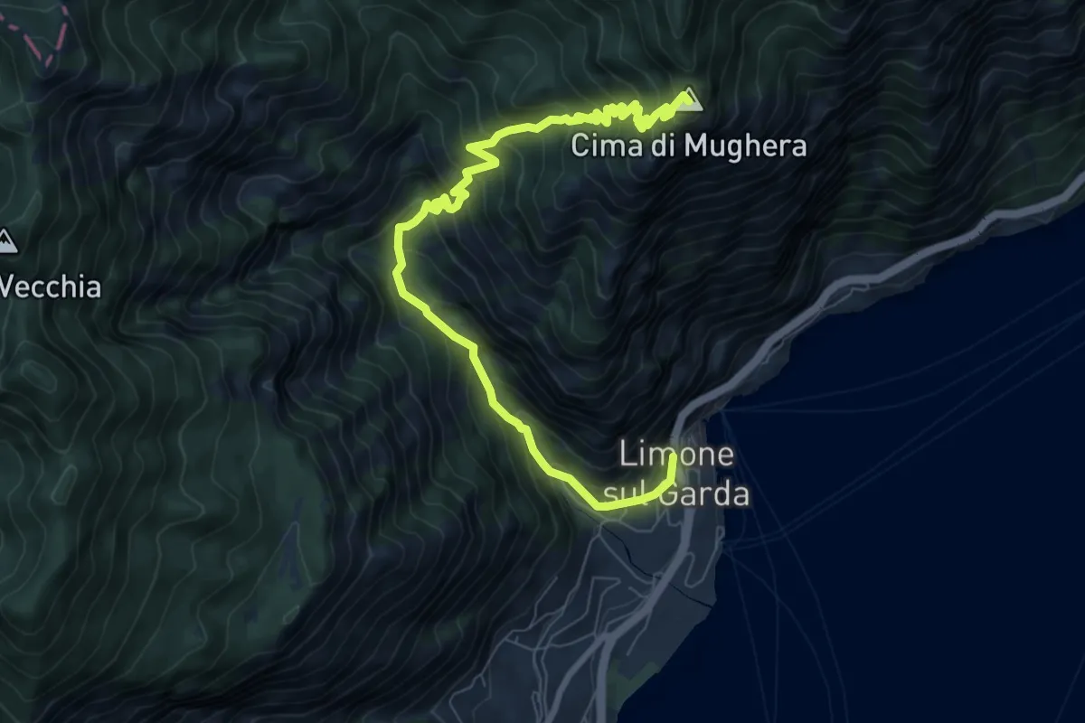
Demanding · Summit
Limone sul Garda - Cima di Mughera
9.2 km · ↑ 1021 m · 4 h 23 min · 14 km away
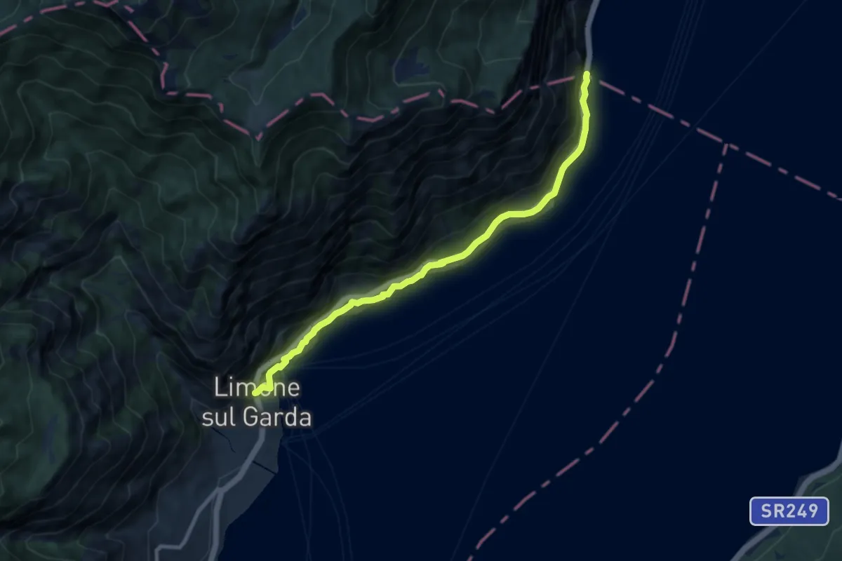
Medium · Trail
Sentiero del Sole - sud
8.5 km · ↑ 560 m · 3 h 13 min · 14 km away
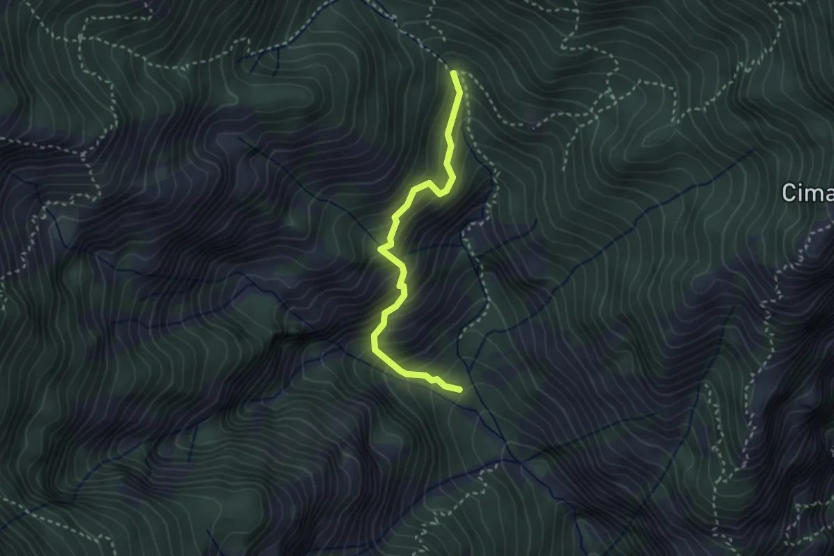
Medium · Trail
Senter del Fiore
2.8 km · ↑ 445 m · 1 h 38 min · 14 km away
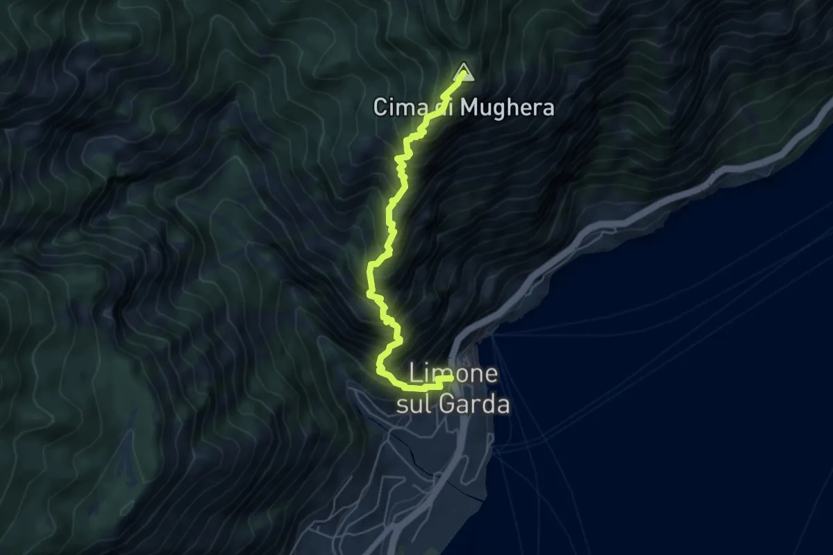
Demanding · Summit
Senter de le Greste
5.4 km · ↑ 1048 m · 3 h 32 min · 14 km away
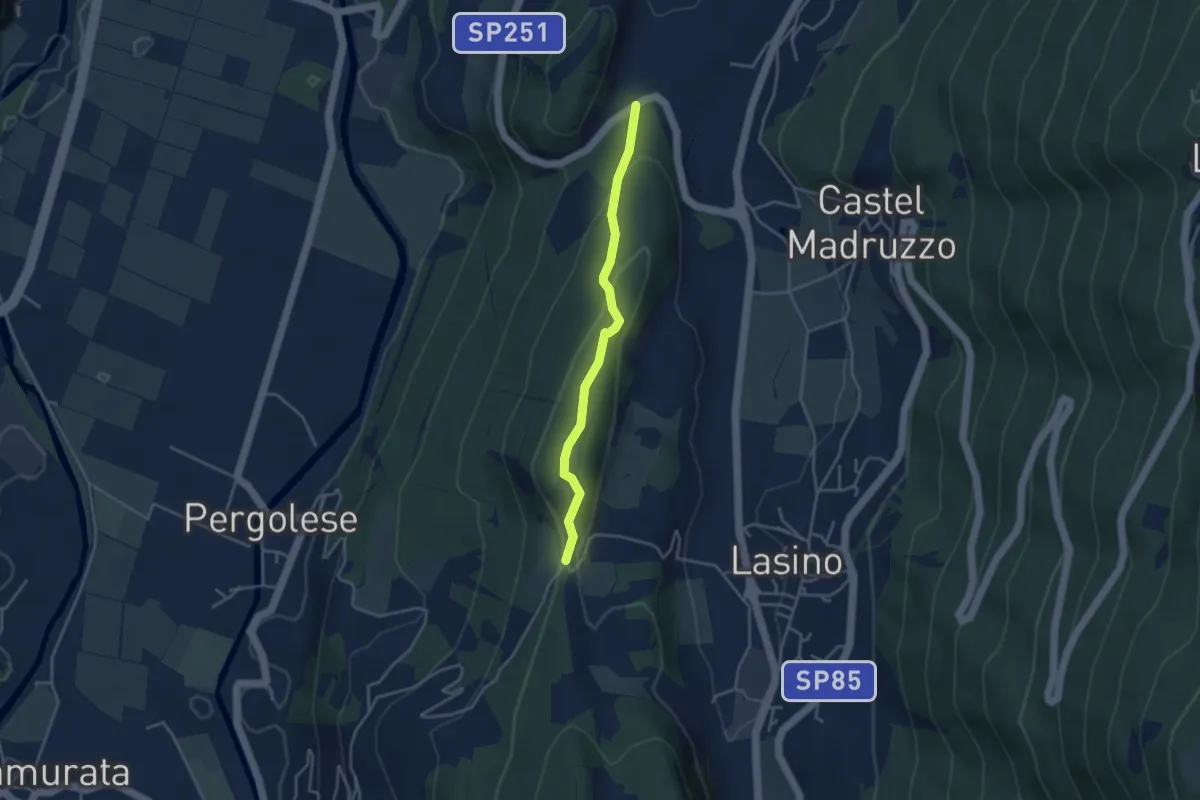
Easy · Trail
Passeggiata Calavino
3.5 km · ↑ 137 m · 1 h 8 min · 14 km away
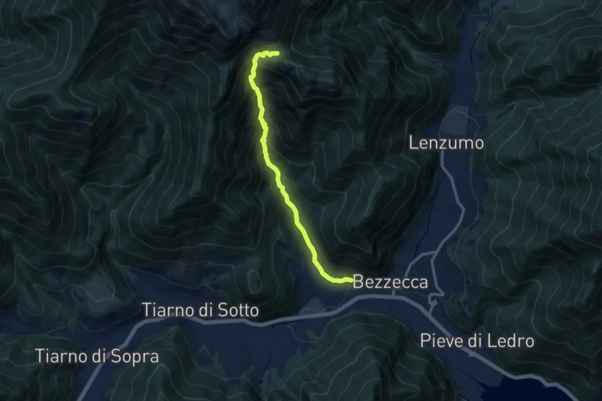
Demanding · Trail
Senter dei Canai
7.8 km · ↑ 838 m · 3 h 39 min · 14 km away
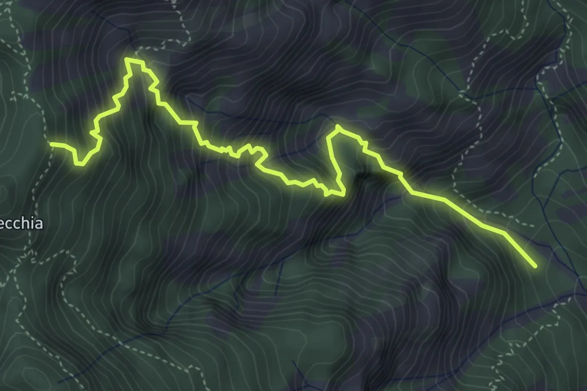
Expert · Trail
Sentiero di Faigole
5.5 km · ↑ 967 m · 3 h 24 min · 14 km away