Trails near Arco
167 hikes starting within 15 km, nearest first.
Nearest first, page 4 of 4
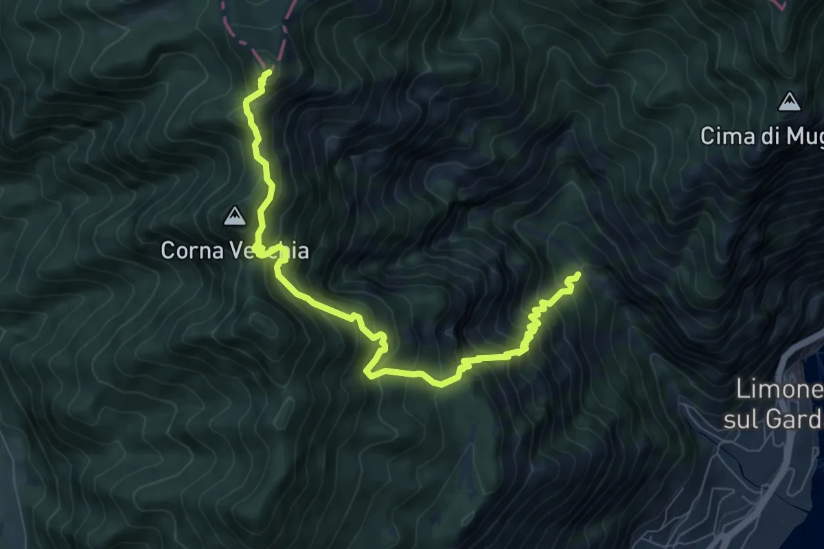
Demanding · Summit
Valle del Singol – Passo di Bestana
8.8 km · ↑ 1110 m · 4 h 29 min · 14 km away
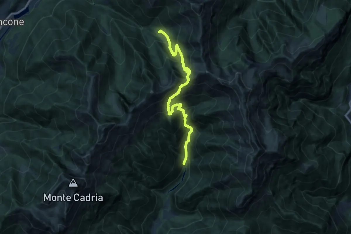
Demanding · Trail
Sentér dei Guì
14.6 km · ↑ 1449 m · 6 h 35 min · 14 km away
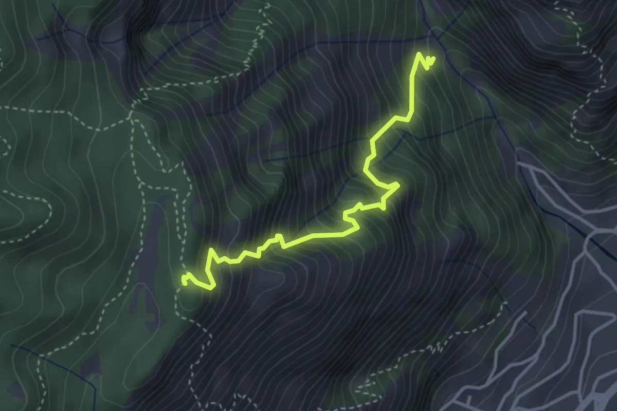
Medium · Summit
Valle del Singol – Cascina Dalco
3.6 km · ↑ 617 m · 2 h 11 min · 14 km away
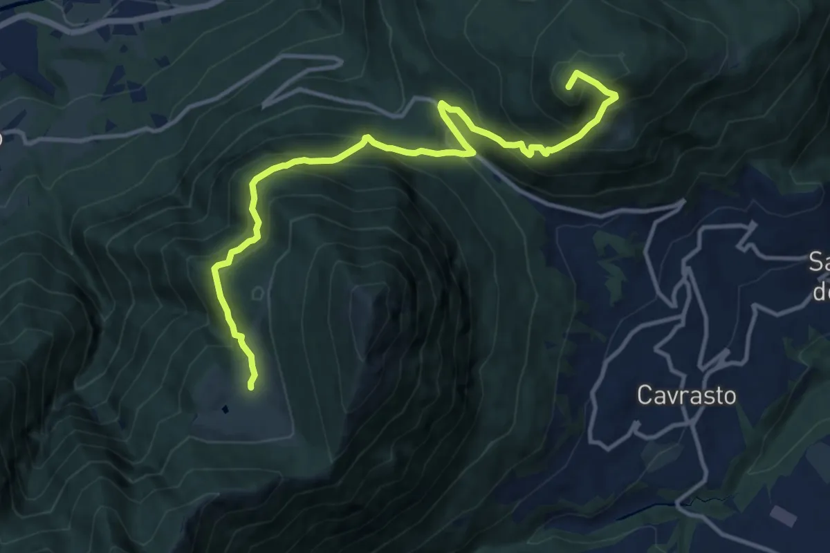
Demanding · Summit
Itinerario Garda Brenta - Tappa 3
12.5 km · ↑ 974 m · 5 h 4 min · 14 km away
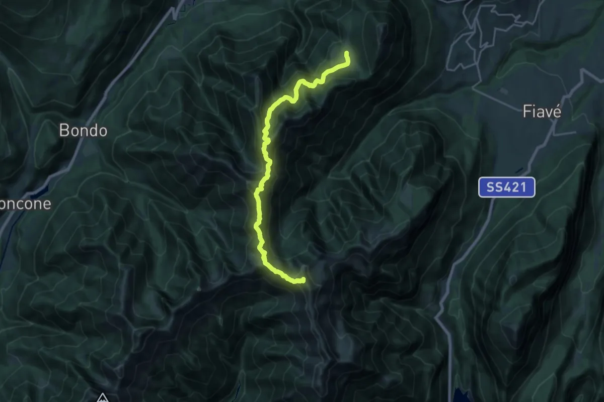
Demanding · Summit
Itinerario Garda Brenta - Tappa 2
18.2 km · ↑ 1622 m · 7 h 49 min · 14 km away
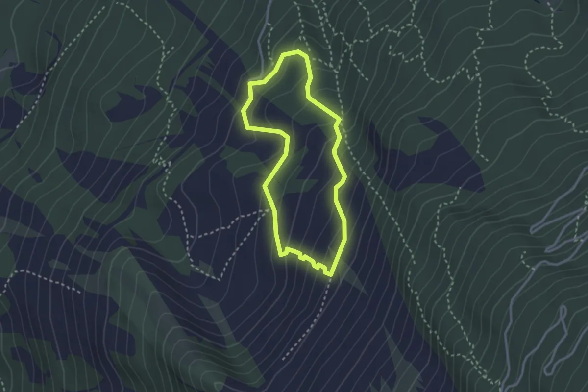
Medium · Trail
Orme dei Dinosauri
2.5 km · ↑ 183 m · 1 h 1 min · 14 km away
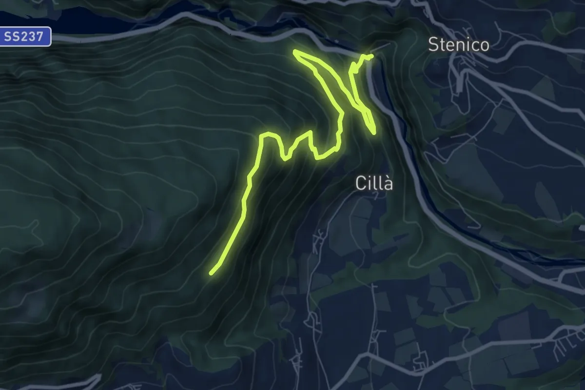
Medium · Trail
Ponte Pià - Strada Statale 237 al Km 97,5 (bivio 346) – Trevie (bivio 465)
9.2 km · ↑ 673 m · 3 h 37 min · 14 km away
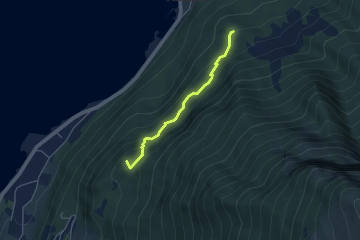
Medium · Summit
Malcesine – dopo Dosso del Merlo - inn. sent. 634
3.2 km · ↑ 289 m · 1 h 23 min · 14 km away
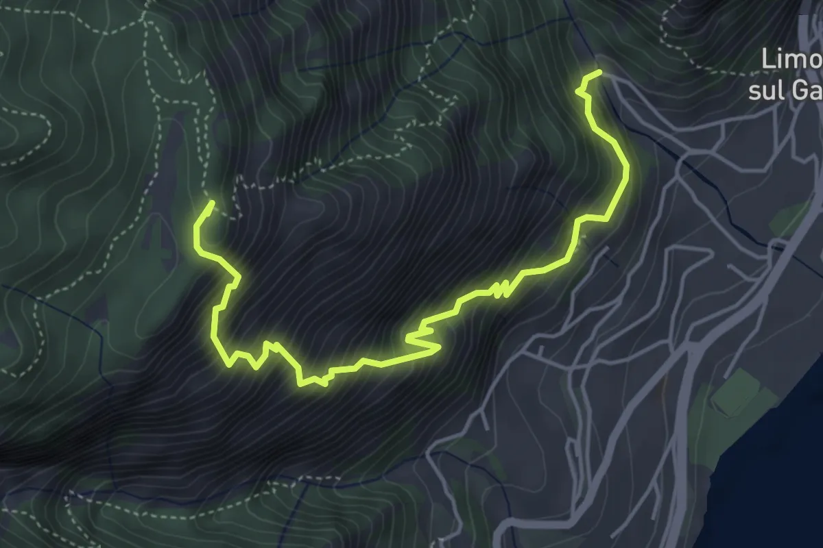
Demanding · Summit
Campaldo – Cascina Dalco
5.3 km · ↑ 829 m · 3 h 3 min · 14 km away
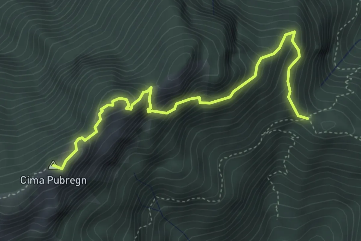
Expert · Summit
Via ferrata "Fiore Mora" e "Mauro Pellegrini"
4.7 km · ↑ 552 m · 2 h 18 min · 14 km away
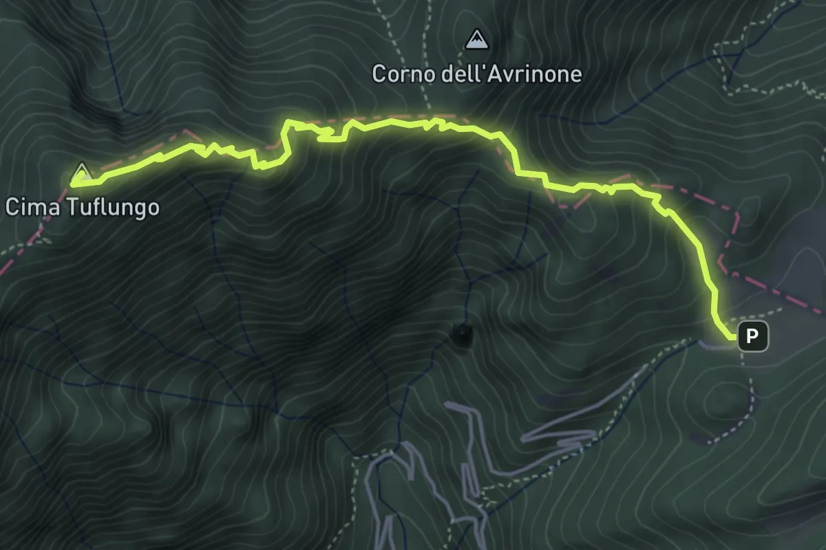
Medium · Summit
Sentiero di Tuflungo
5.4 km · ↑ 465 m · 2 h 17 min · 14 km away
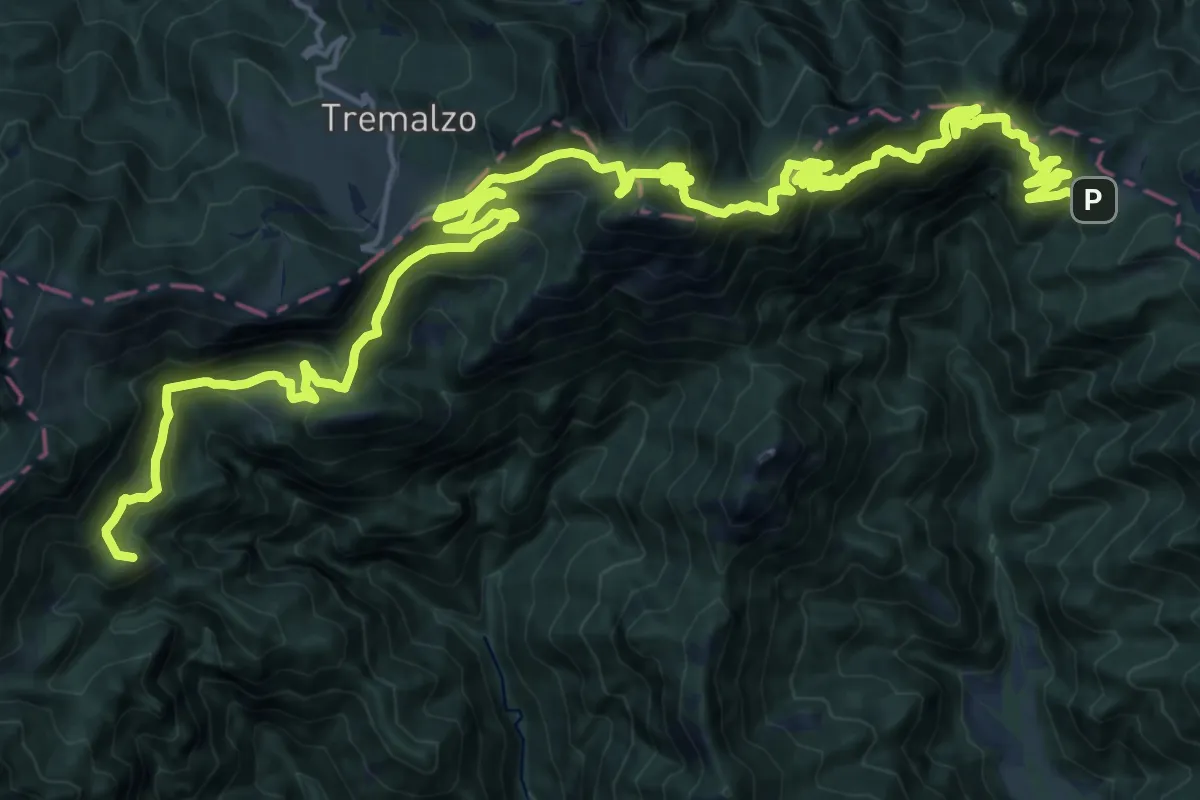
Demanding · Summit
Strada militare di Lorina
30.6 km · ↑ 2053 m · 11 h 41 min · 14 km away
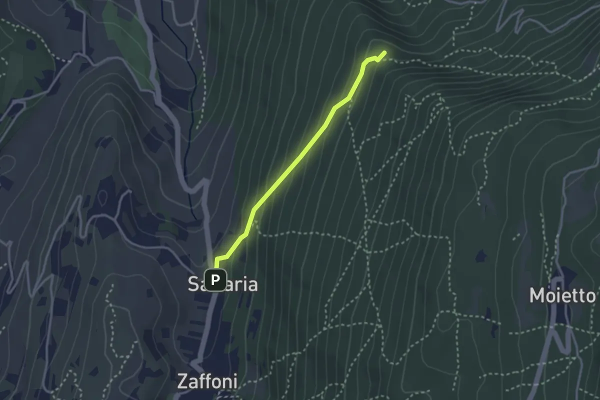
Medium · Summit
Giro del Pra della Malga
2.5 km · ↑ 166 m · 57 min · 14 km away
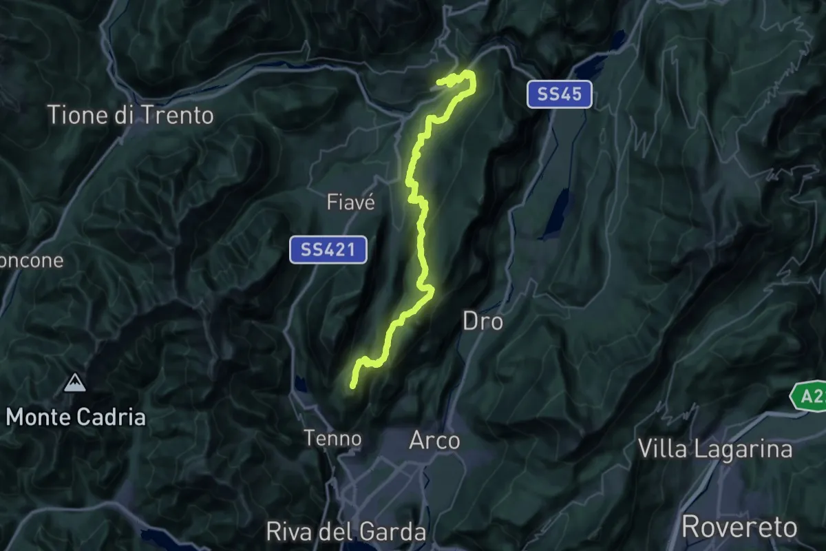
Demanding · Summit
Sentiero Frassati - Tappa 2
43.8 km · ↑ 2133 m · 14 h 58 min · 14 km away
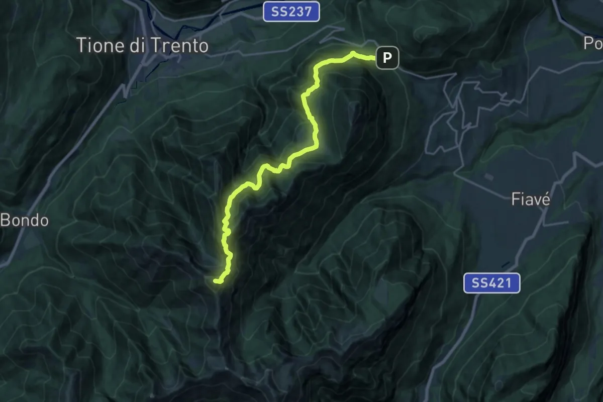
Demanding · Summit
Sentiero delle Cime
18.6 km · ↑ 1640 m · 7 h 56 min · 14 km away
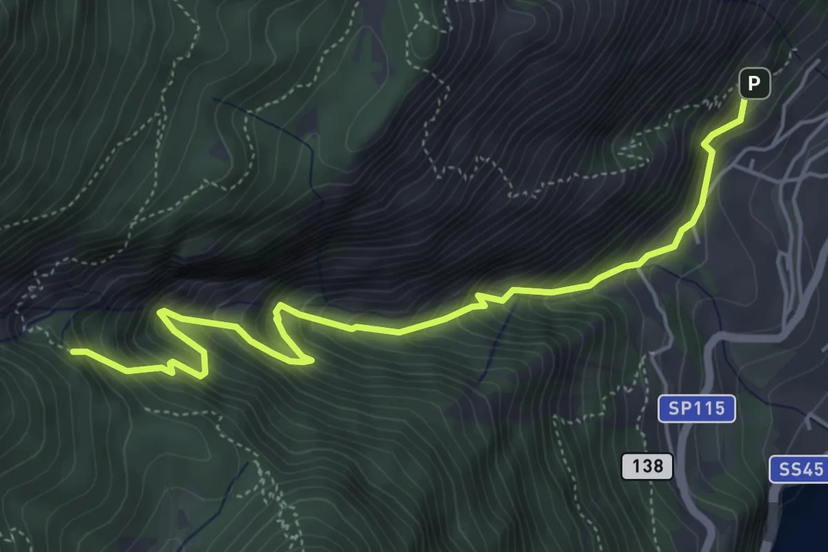
Medium · Trail
BVG, Campaldo di Limone
5.8 km · ↑ 789 m · 3 h 4 min · 14 km away
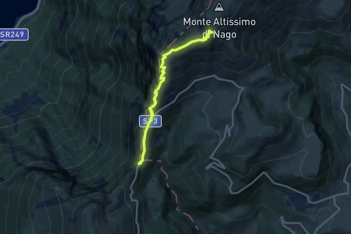
Medium · Trail
Bocca di Navene (bivio 653) – Rifugio Altissimo "Damiano Chiesa" (bivio 601 - 622 - 633)
6.7 km · ↑ 611 m · 2 h 55 min · 15 km away
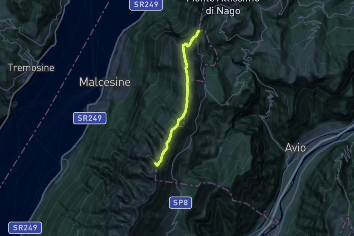
Demanding · Summit
Sentiero delle Creste
16.8 km · ↑ 1275 m · 6 h 44 min · 15 km away
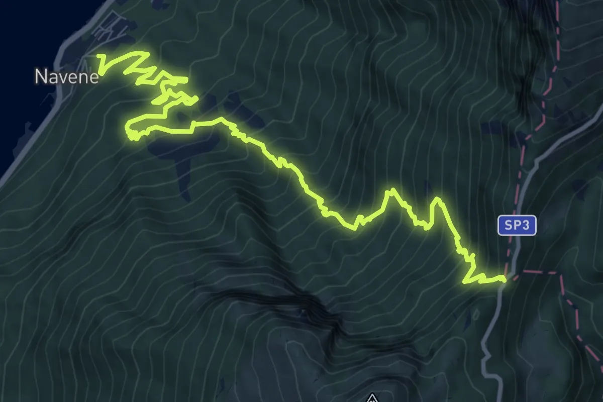
Demanding · Trail
Navene – Bocca di Navene innesto sentiero 651
13.8 km · ↑ 1456 m · 6 h 25 min · 15 km away
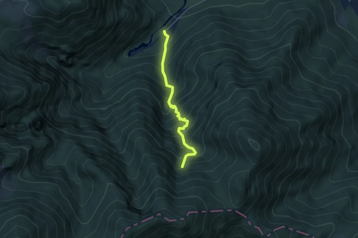
Medium · Trail
Sentér de Malga Cor
3.5 km · ↑ 560 m · 2 h 2 min · 15 km away
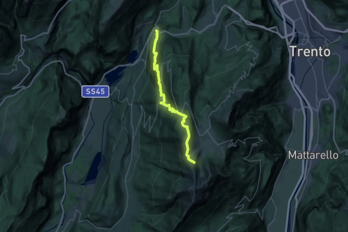
Medium · Trail
Vezzano – Costa dei Cavai (bivio 607)
12.1 km · ↑ 199 m · 4 h 10 min · 15 km away
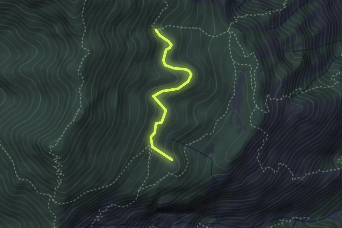
Easy · Summit
Degà – Incrocio Percorso 102
2.6 km · ↑ 196 m · 1 h 3 min · 15 km away
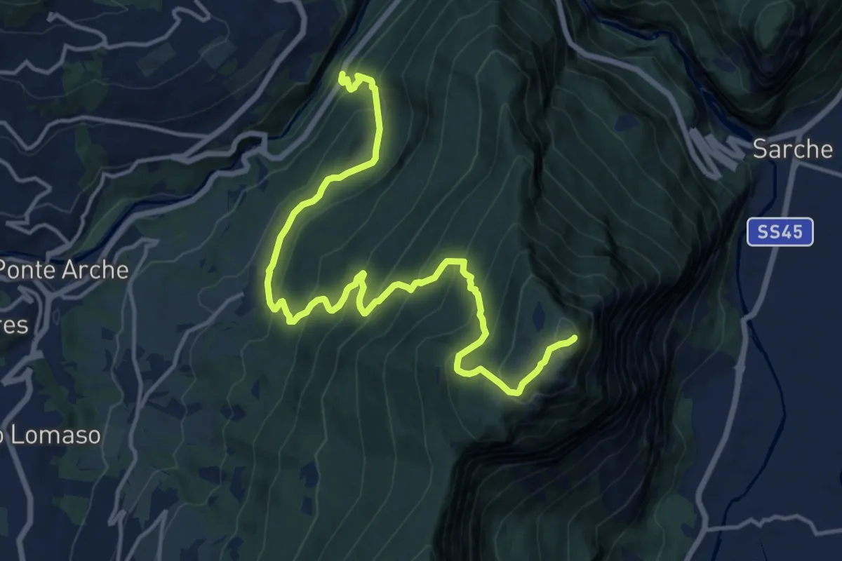
Demanding · Summit
Strada Statale 237 del Caffaro al Km 102 (bivio 349B) – Monte Casale
16.0 km · ↑ 1202 m · 6 h 23 min · 15 km away