Trails near Arcola
211 hikes starting within 15 km, nearest first.
Nearest first, page 1 of 5
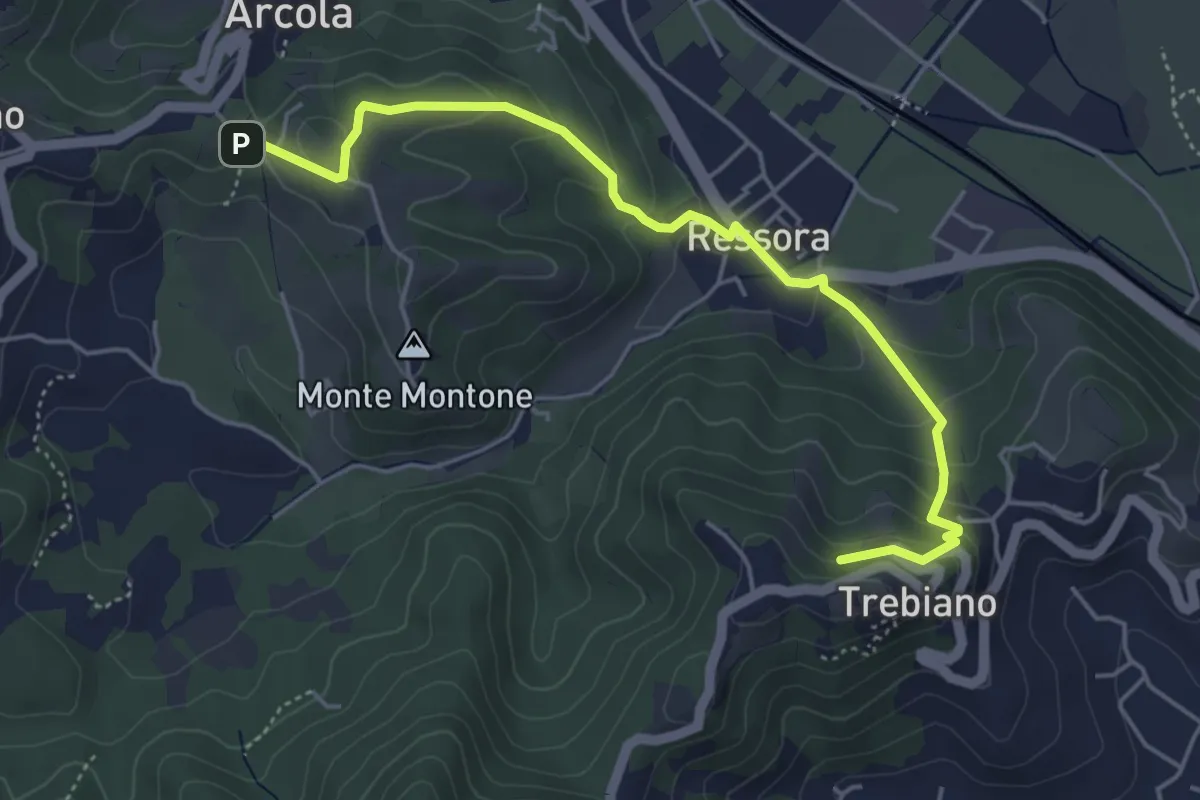
Easy · Summit
Trebiano - Ressora - Arcola (via delle Pievi)
5.3 km · ↑ 265 m · 1 h 50 min · under 1 km away
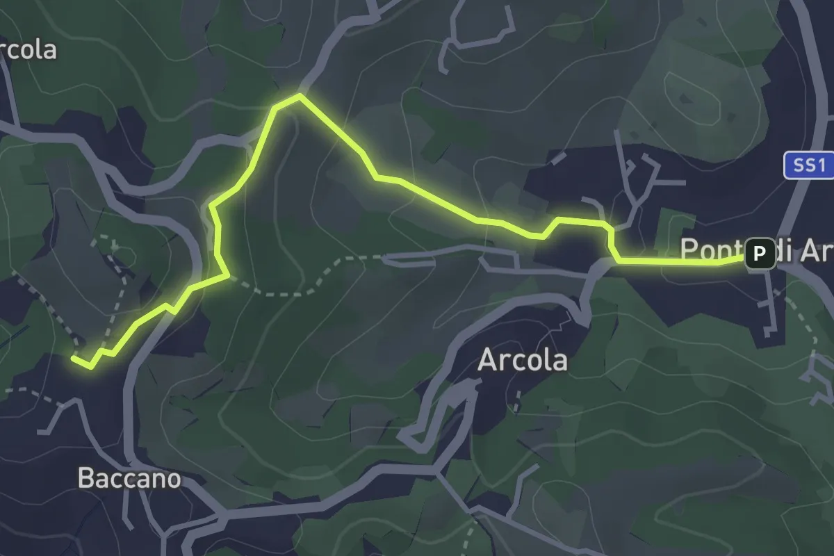
Easy · Trail
Via Romana
3.7 km · ↑ 154 m · 1 h 12 min · under 1 km away
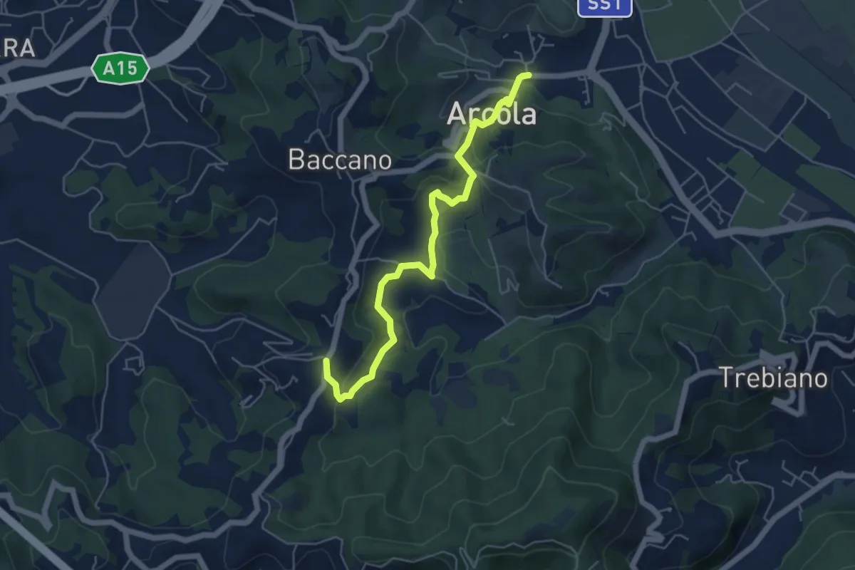
Medium · Trail
Ponte di Arcola – Pietralba
5.5 km · ↑ 234 m · 1 h 48 min · 1 km away
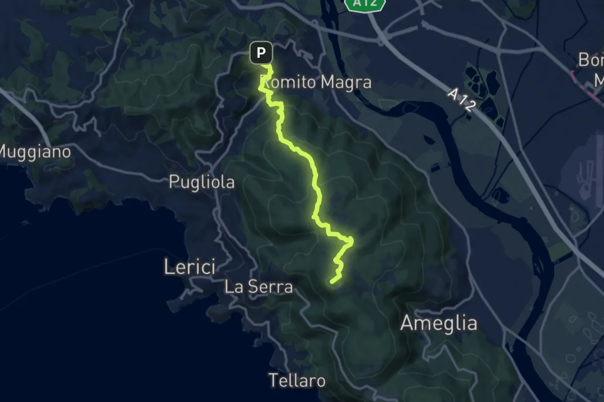
Medium · Summit
Trebiano – Montemarcello
11.1 km · ↑ 590 m · 3 h 54 min · 2 km away
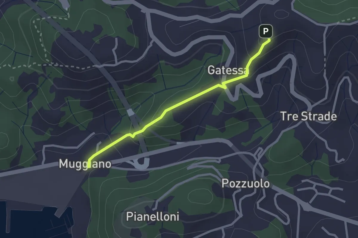
Easy · Trail
Muggiano – Percorso 450
2.4 km · ↑ 143 m · 52 min · 2 km away
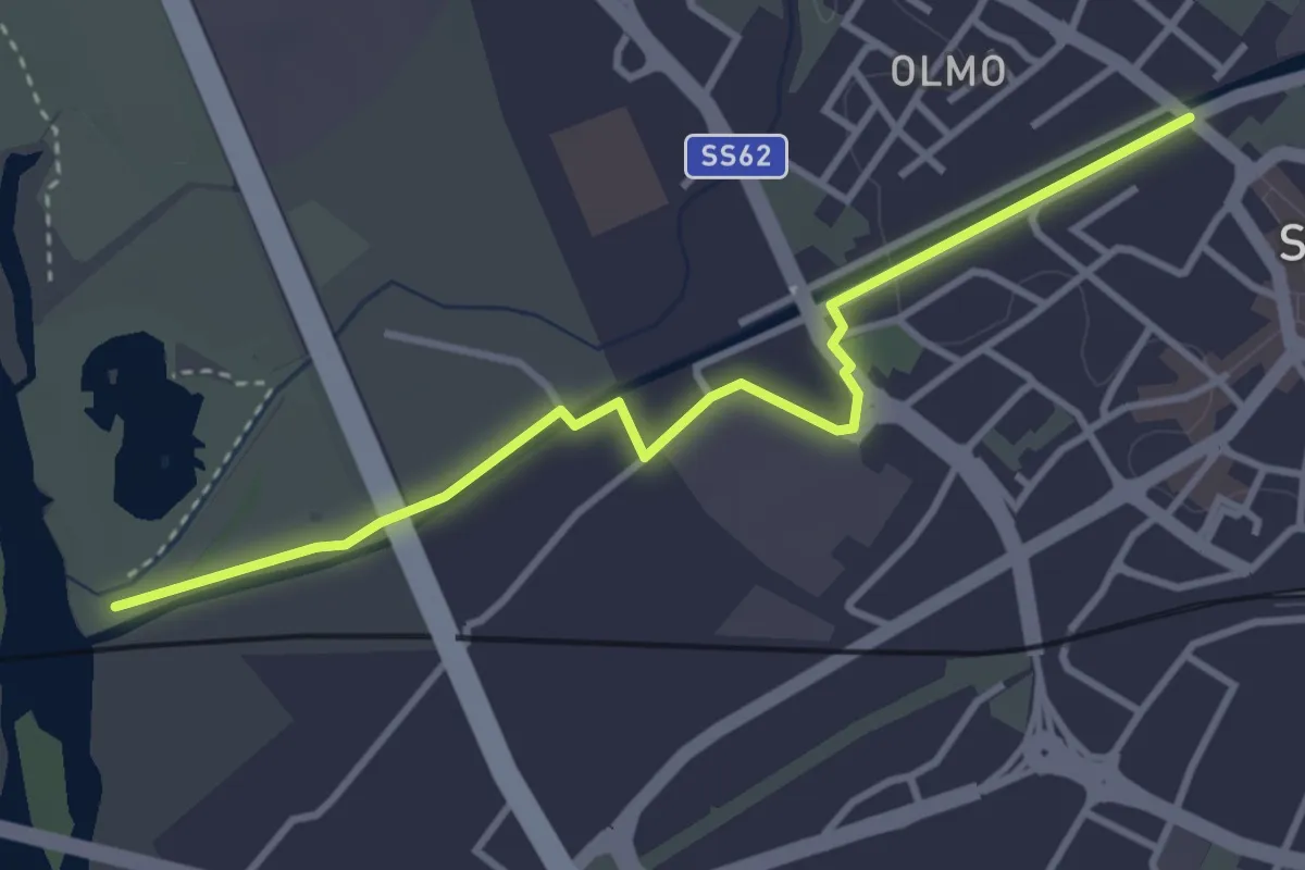
Easy · Trail
Sarzana VF – 390 PF Fiume Magra
3.9 km · ↑ 18 m · 57 min · 3 km away
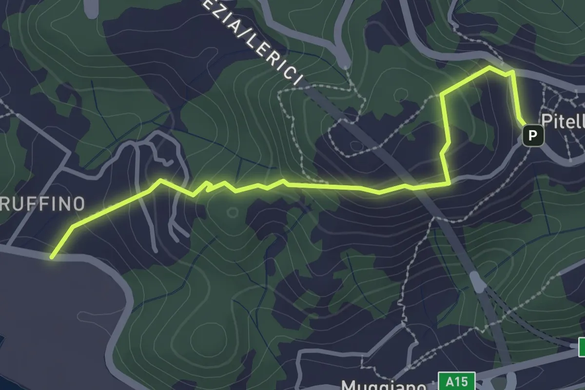
Easy · Trail
Ruffino – Pitelli
3.2 km · ↑ 224 m · 1 h 14 min · 3 km away
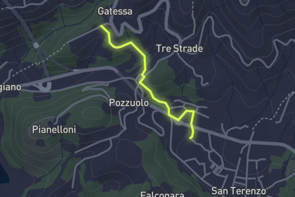
Easy · Trail
Bagnara – Pozzuolo - innesto sent. 451
2.3 km · ↑ 103 m · 46 min · 3 km away
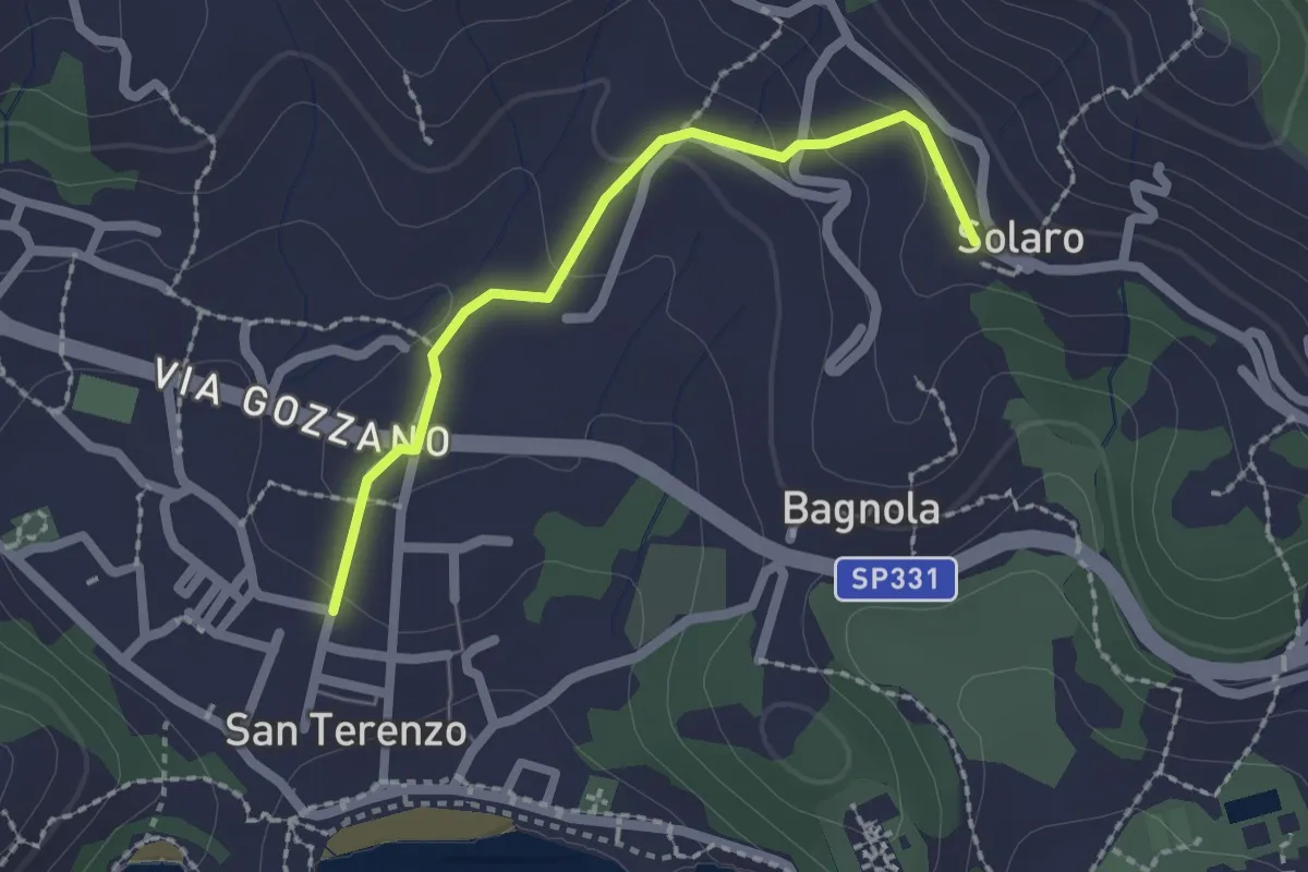
Medium · Trail
San Terenzo – Solaro
2.0 km · ↑ 77 m · 38 min · 3 km away
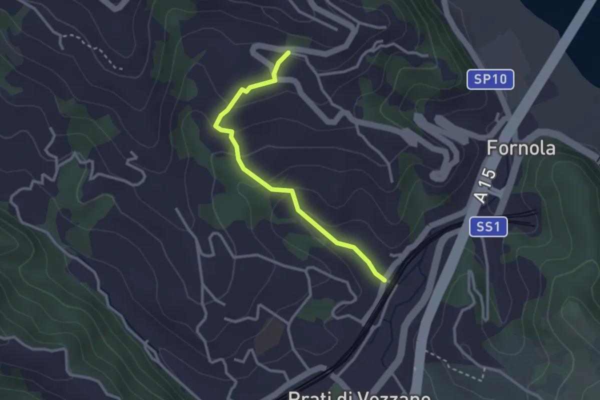
Easy · Trail
Fornola – Il Giardino – S. Maria
2.7 km · ↑ 134 m · 56 min · 3 km away
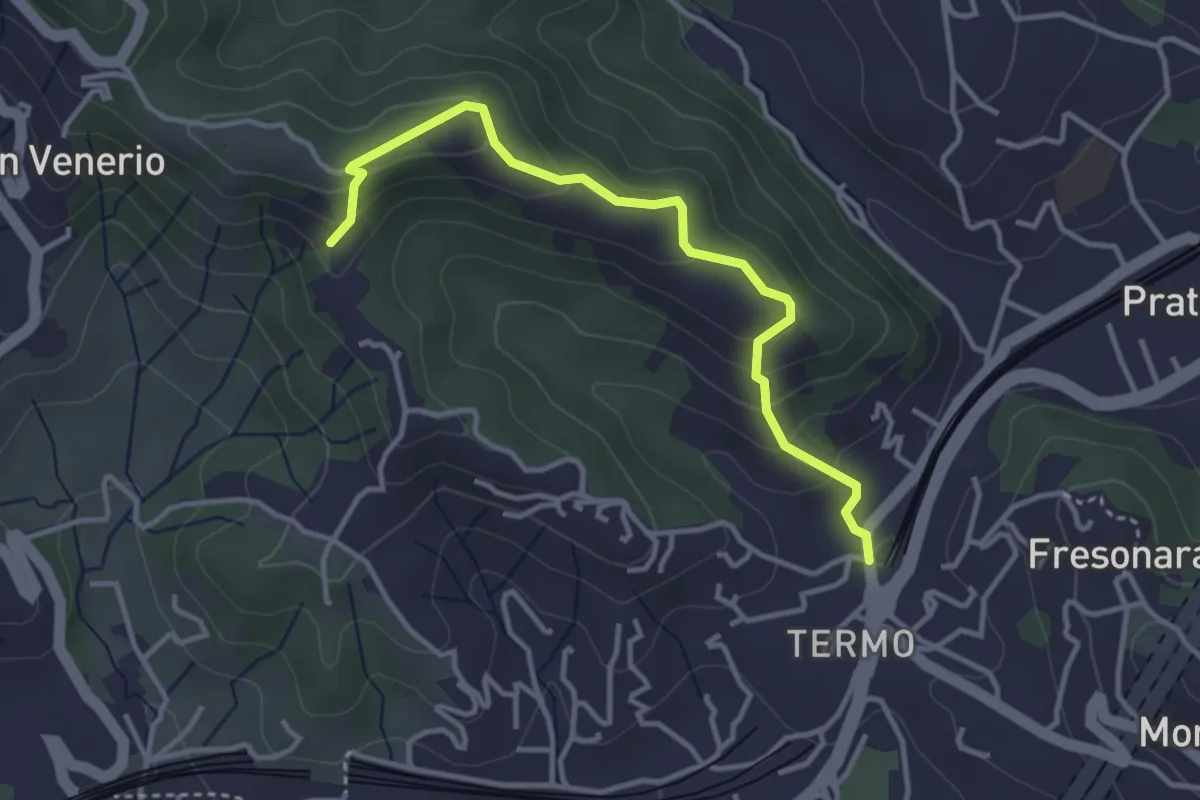
Easy · Trail
Variante AVG del Termo
3.7 km · ↑ 200 m · 1 h 19 min · 3 km away
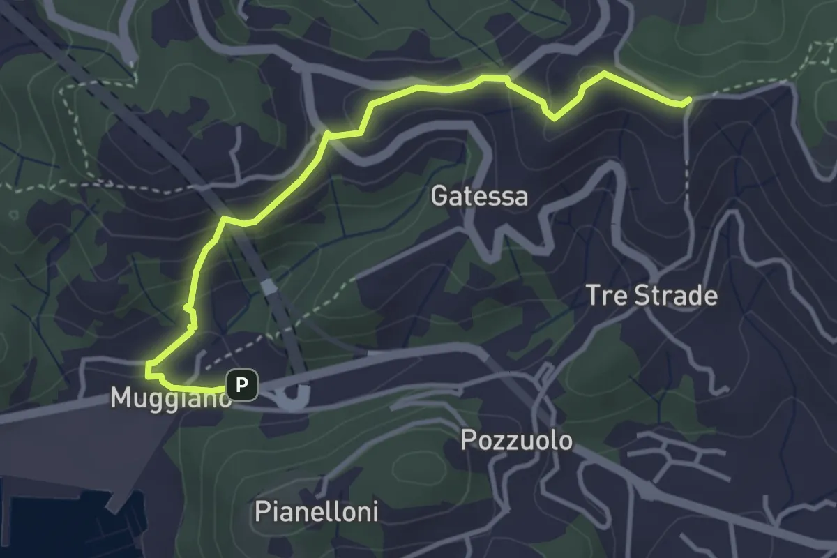
Easy · Trail
Muggiano – Sella Pin Bon
3.8 km · ↑ 194 m · 1 h 20 min · 3 km away
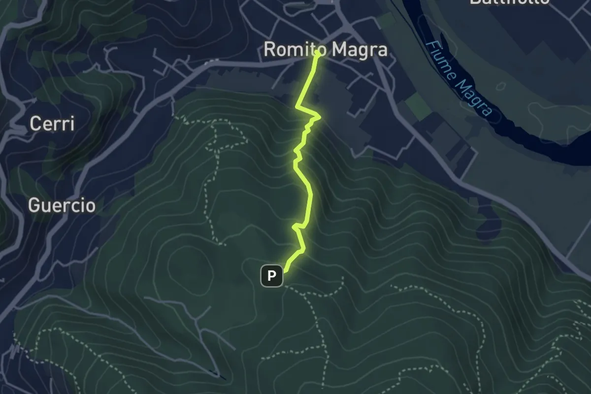
Easy · Trail
Romito Magra – S. Lorenzo
2.7 km · ↑ 214 m · 1 h 7 min · 3 km away
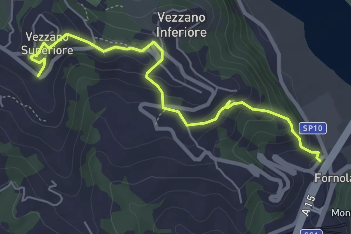
Easy · Trail
Fornola – Darola – Vezzano Ligure
5.0 km · ↑ 275 m · 1 h 46 min · 3 km away
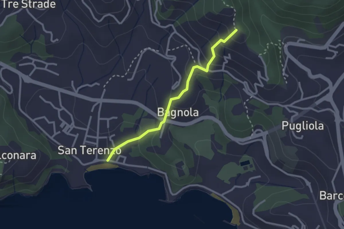
Medium · Trail
San Terenzo - Bagnola – Solaro – P.so della Cisterna
2.4 km · ↑ 156 m · 54 min · 3 km away
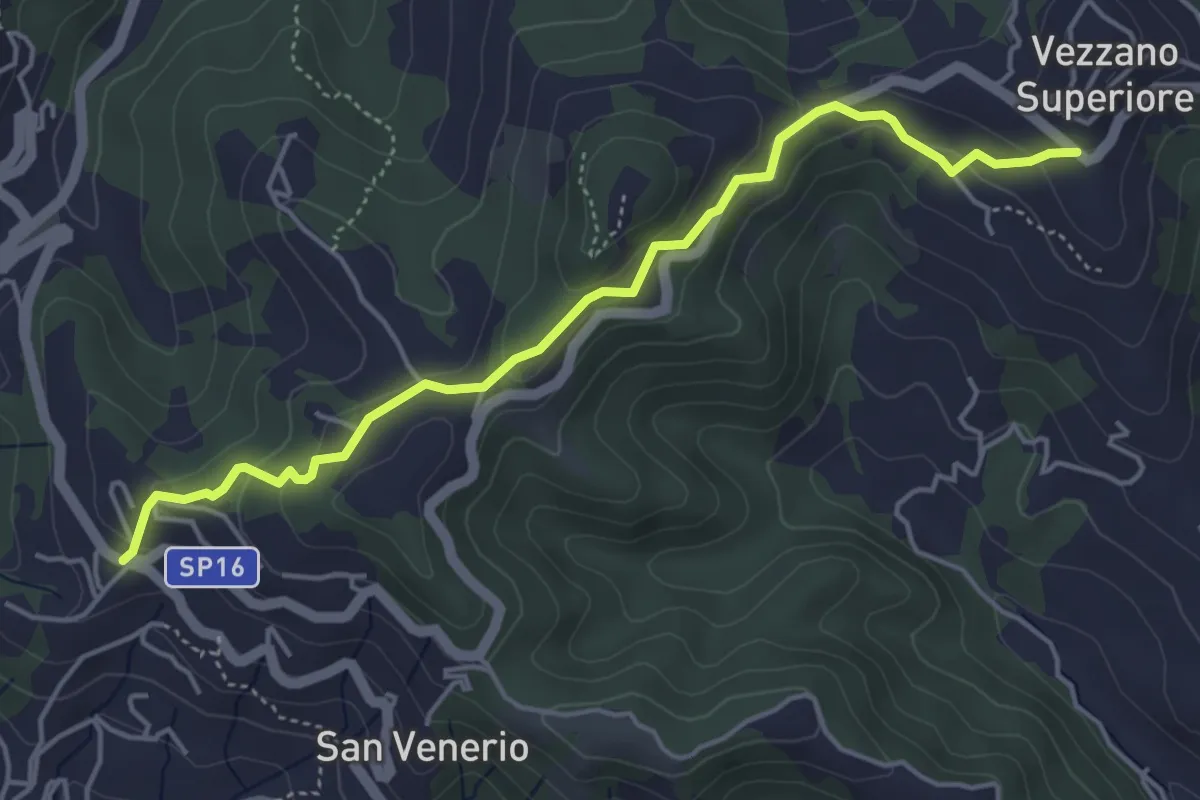
Easy · Trail
Vezzano Ligure – Forte Bastia – Beverone
5.0 km · ↑ 223 m · 1 h 40 min · 3 km away
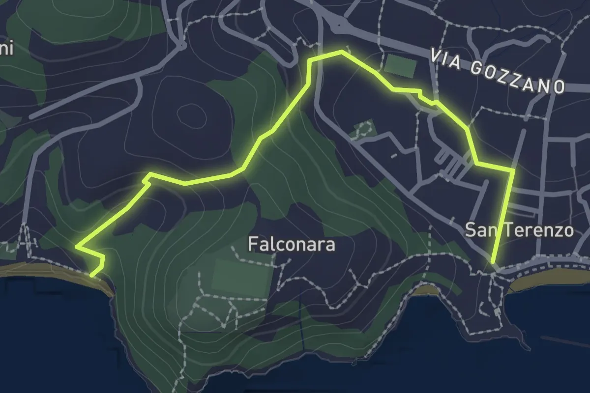
Easy · Trail
San Terenzo – Baia Blu
2.9 km · ↑ 127 m · 58 min · 4 km away
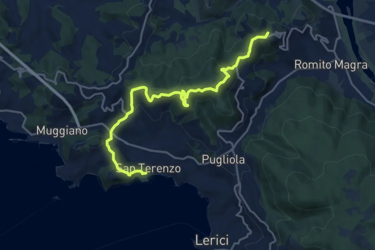
Medium · Summit
San Terenzo - Pozzuolo – sella Pin Bon – Trebiano
11.8 km · ↑ 598 m · 4 h 5 min · 4 km away
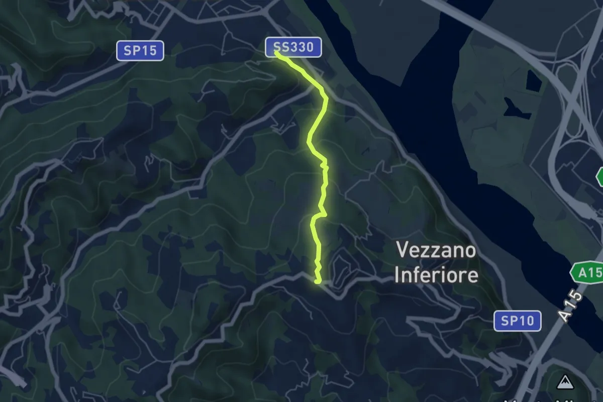
Easy · Trail
Bottagna – Vezzano Ligure
4.2 km · ↑ 228 m · 1 h 29 min · 4 km away
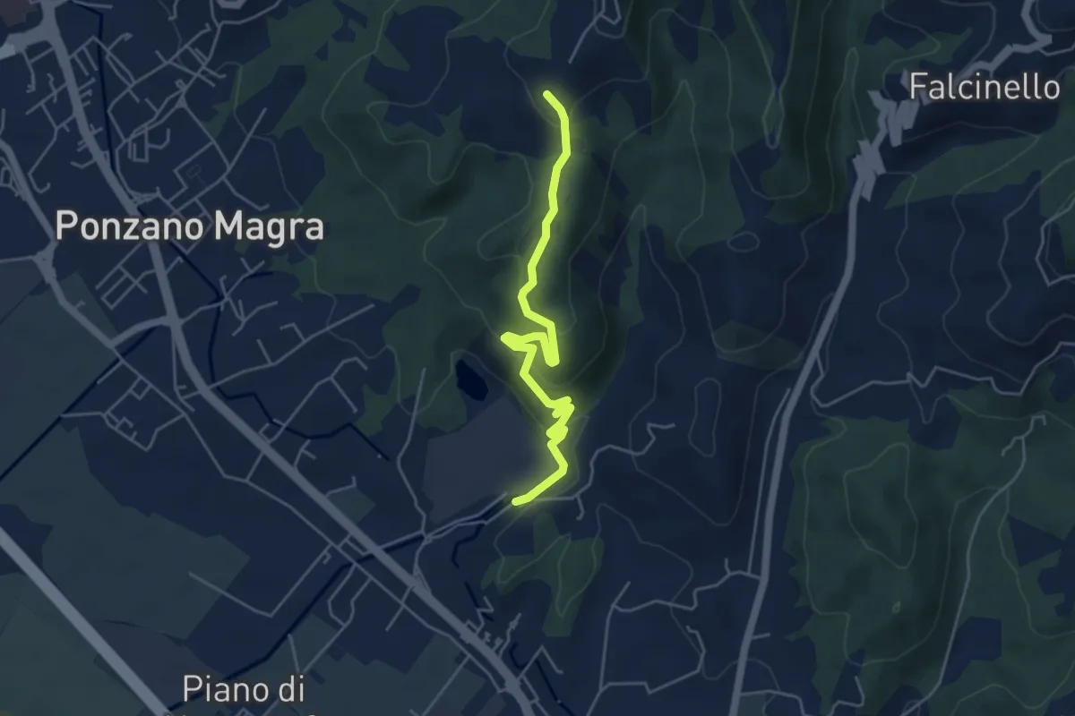
Easy · Trail
Percorso 341 – Percorso 343
5.0 km · ↑ 234 m · 1 h 41 min · 4 km away
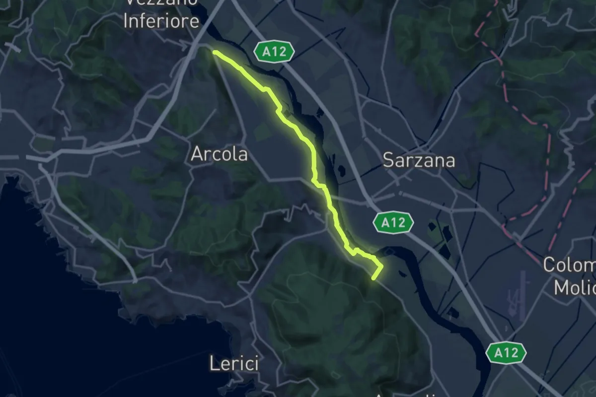
Expert · Trail
Senato – Fornola
13.8 km · ↑ 54 m · 3 h 23 min · 4 km away
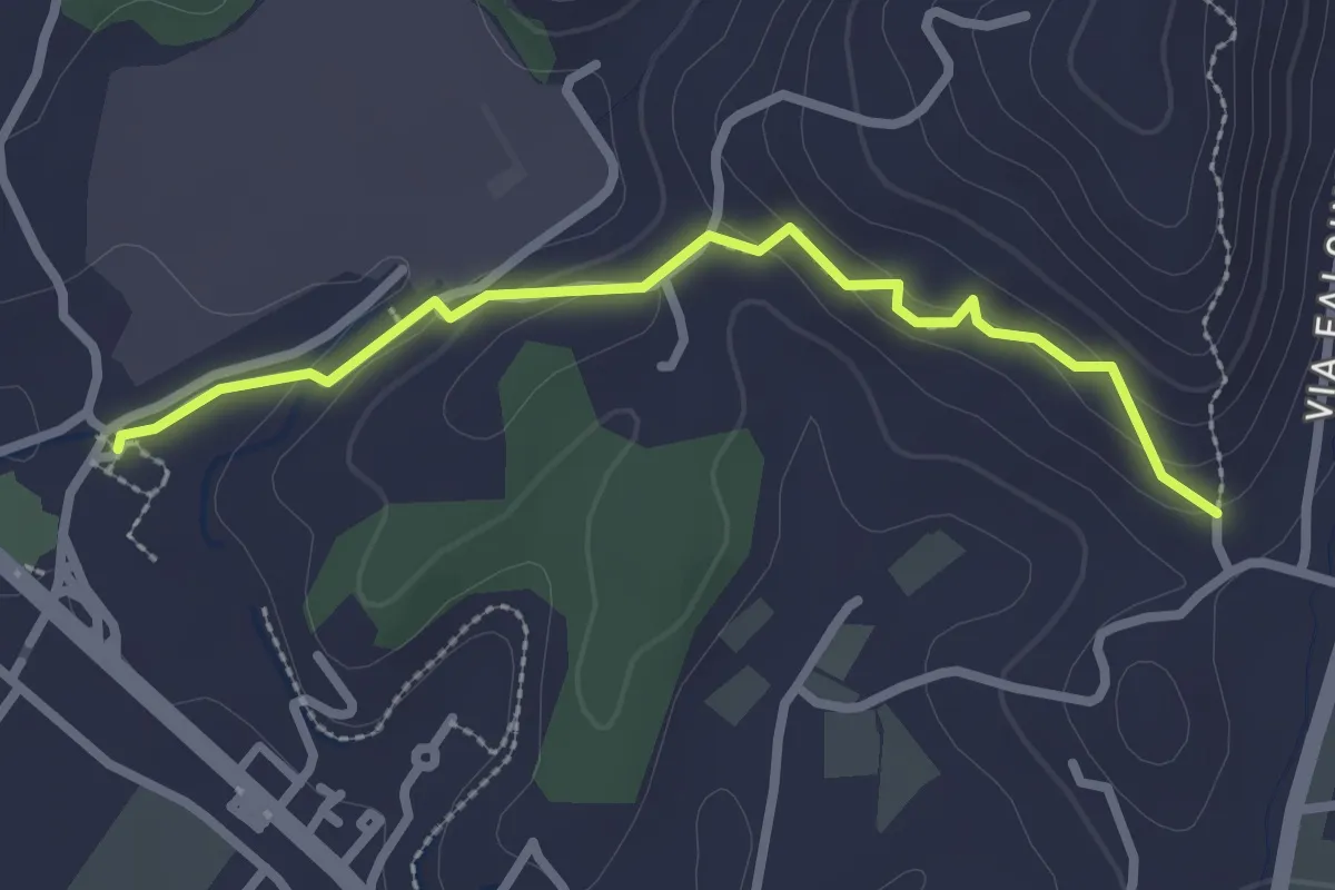
Easy · Trail
Ponzano Ceramica – Ponte Amola
2.7 km · ↑ 99 m · 51 min · 4 km away
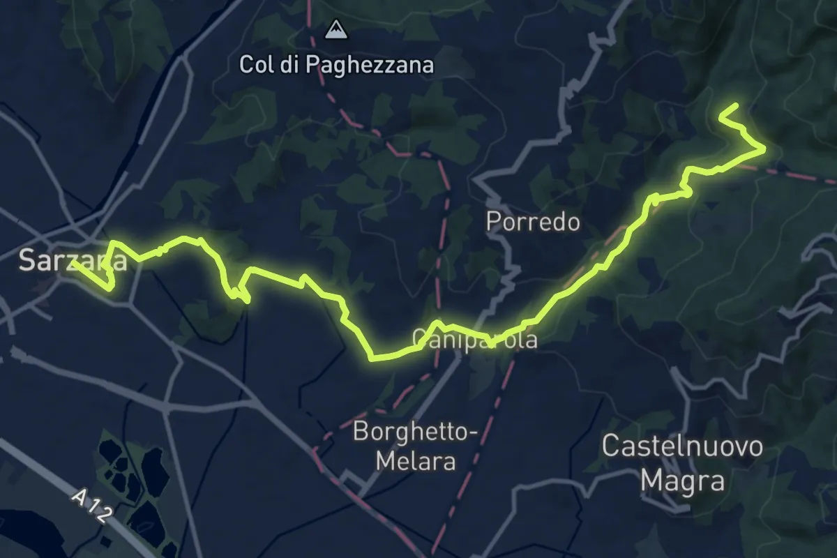
Medium · Trail
Sentiero dei Ducati Tappa 12
16.9 km · ↑ 465 m · 5 h · 4 km away
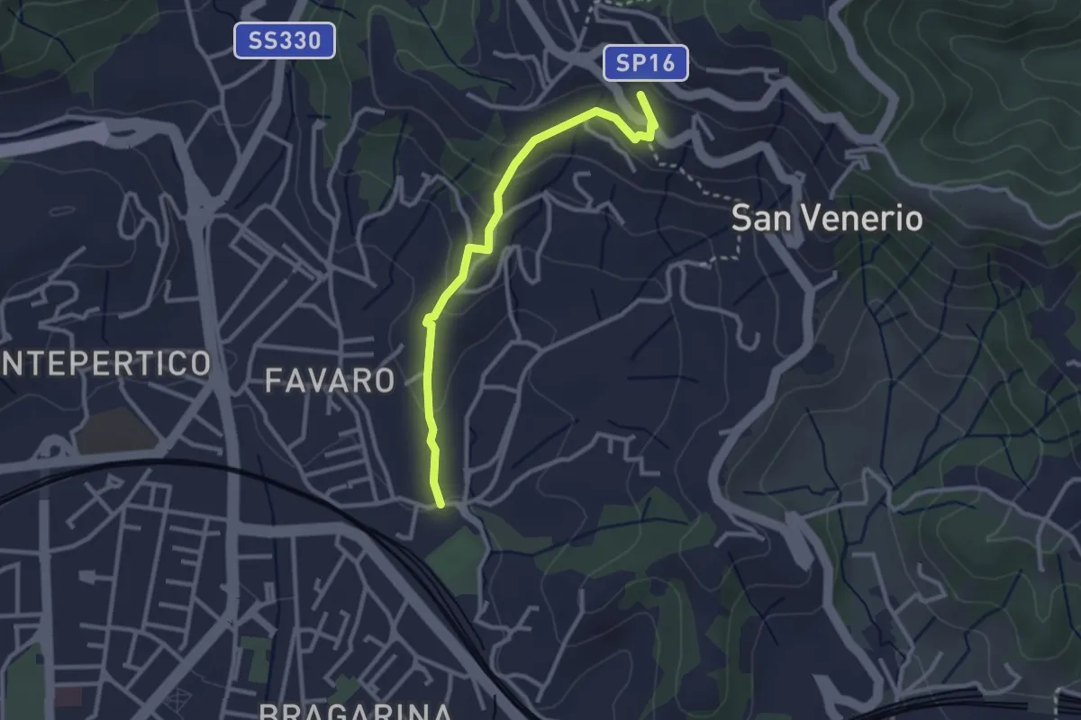
Easy · Trail
La Pieve – Carozzo (via della Lobbia)
2.9 km · ↑ 127 m · 57 min · 4 km away
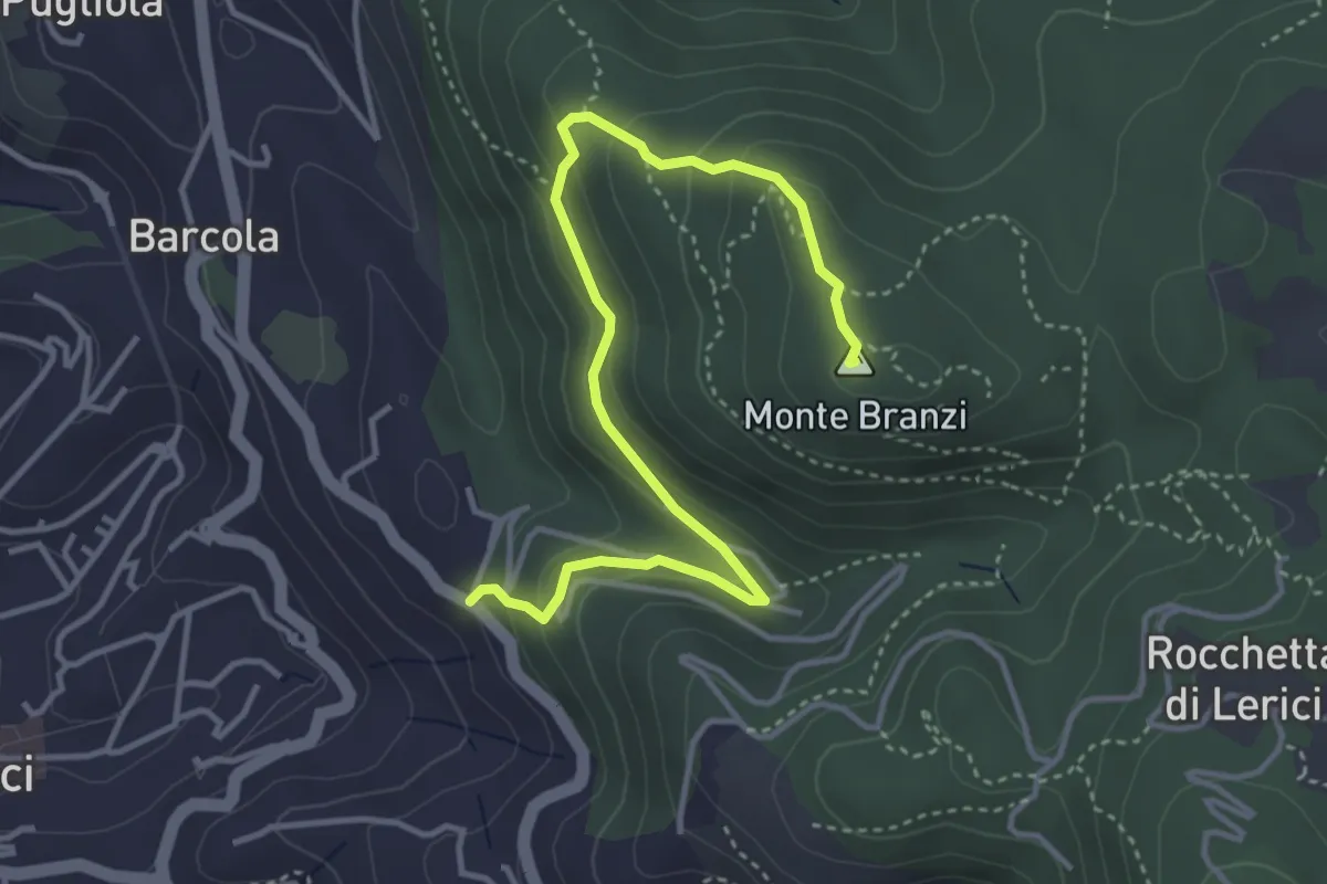
Medium · Summit
Catene - Canale di Redarca – M. Branzi
4.6 km · ↑ 210 m · 1 h 33 min · 4 km away
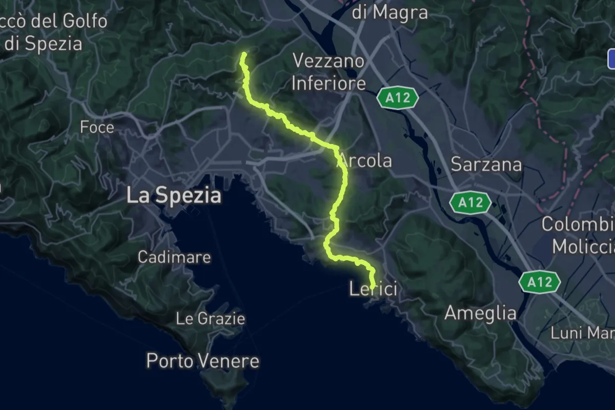
Demanding · Summit
Sentiero Liguria - Tappa 2
27.0 km · ↑ 997 m · 8 h 32 min · 4 km away
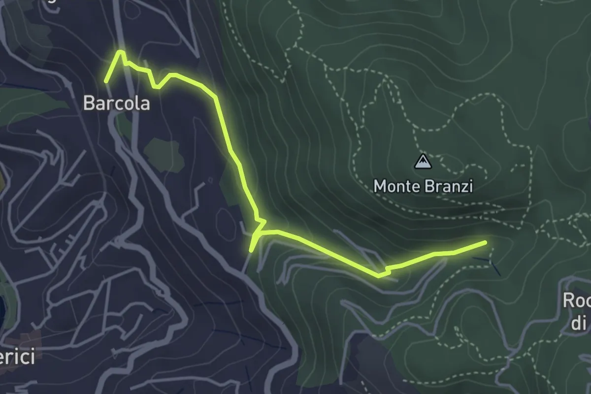
Easy · Trail
Via Le Codine – Via Barcola
4.2 km · ↑ 171 m · 1 h 22 min · 5 km away
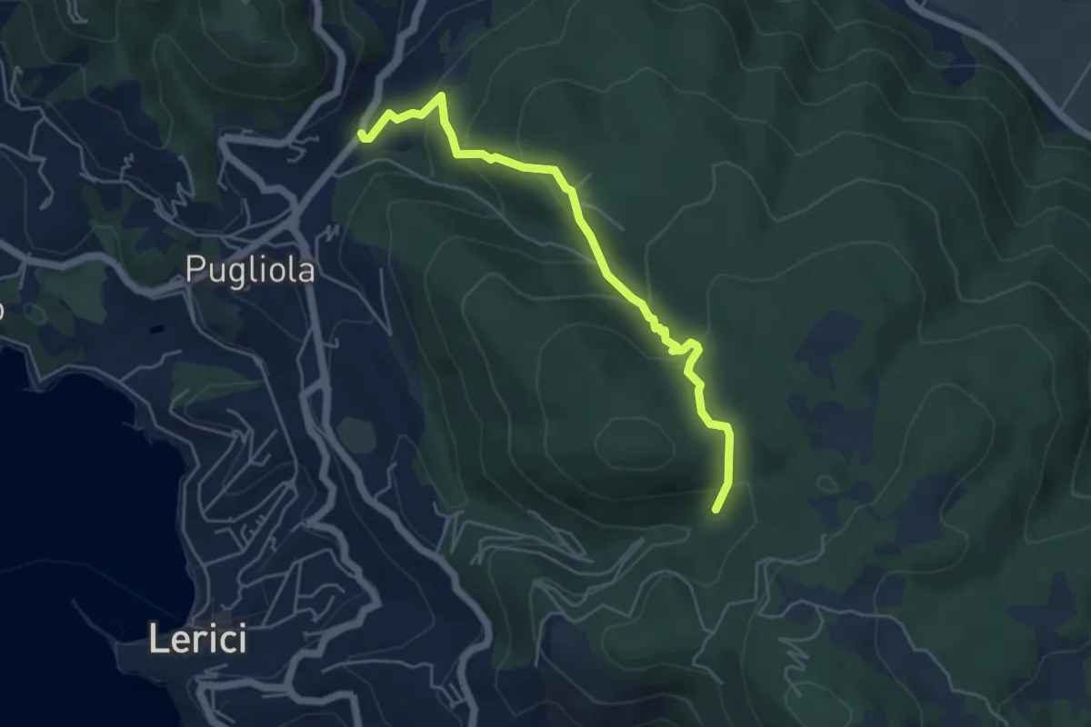
Medium · Trail
Guercio - Canale Dei Sardi - Case Di Monte Branzi
5.1 km · ↑ 356 m · 1 h 58 min · 5 km away
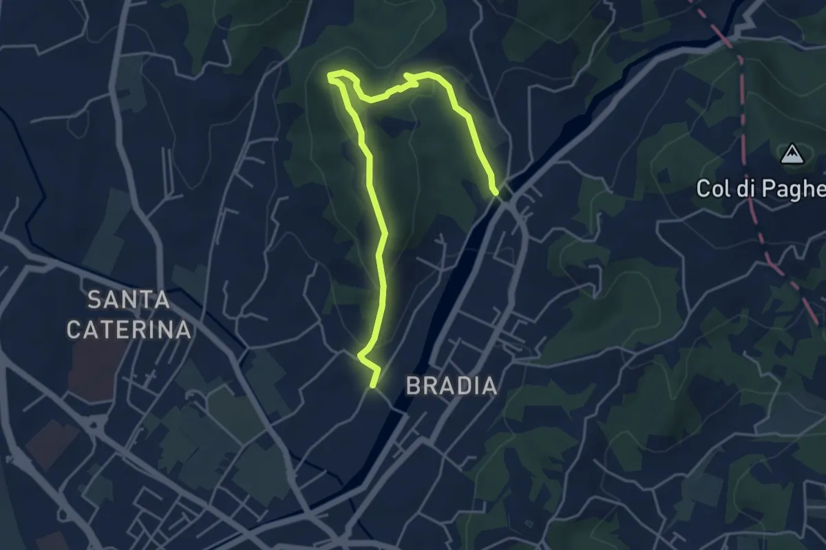
Easy · Trail
Via Paradiso – Ponte della Budella
5.1 km · ↑ 245 m · 1 h 45 min · 5 km away
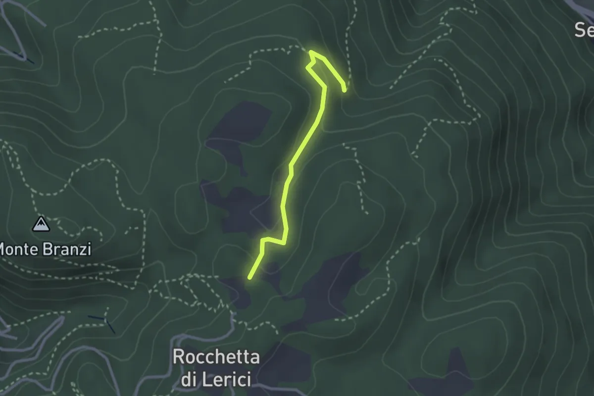
Easy · Trail
Campo Di Già – Canale Del Marzo
2.4 km · ↑ 93 m · 46 min · 5 km away
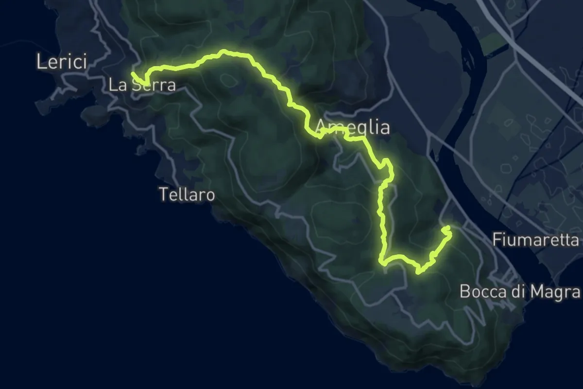
Demanding · Trail
La Ferrara – La Serra
16.1 km · ↑ 1068 m · 6 h 7 min · 5 km away
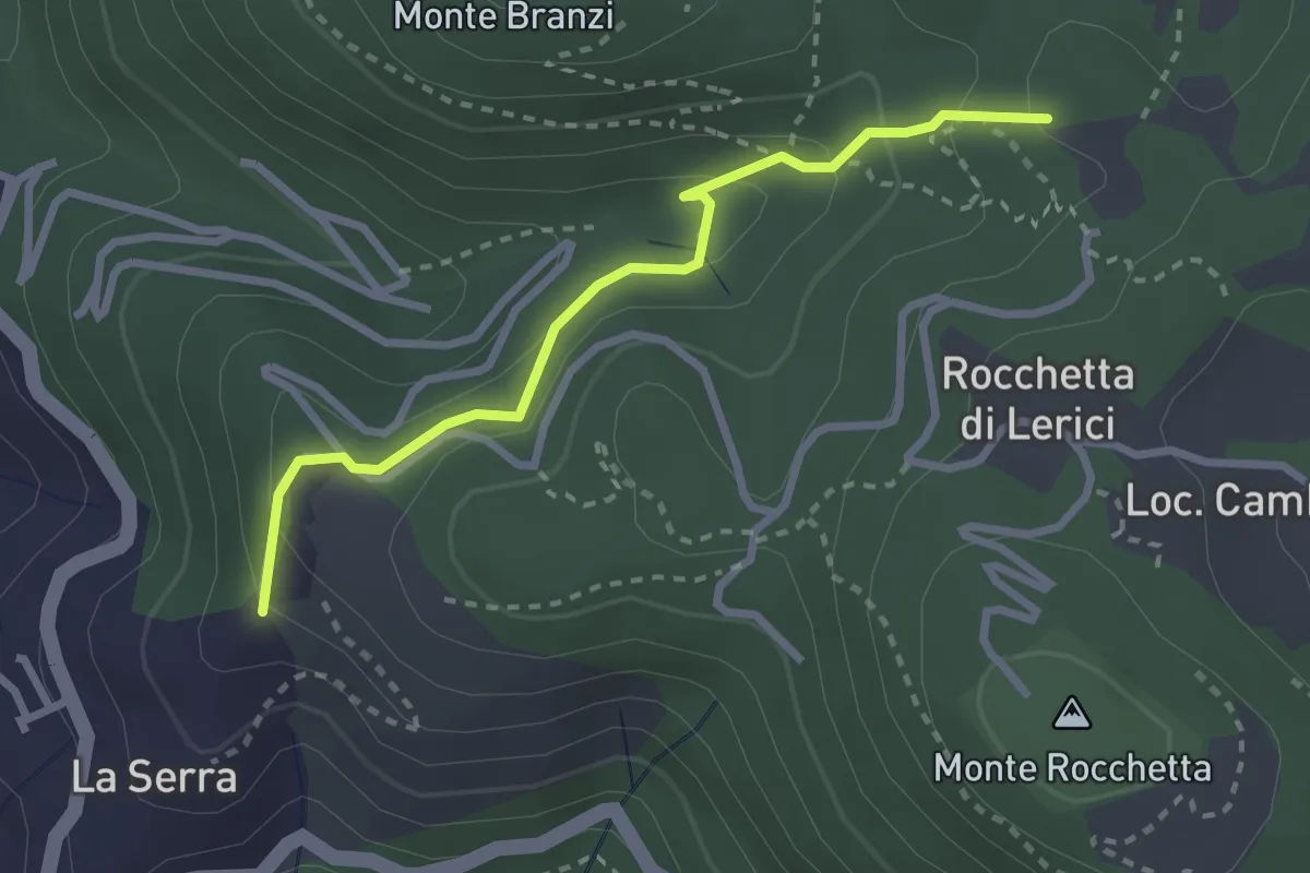
Easy · Trail
La Serra - Redarca - Villa "Il Fodo" - Campo Di Già
2.8 km · ↑ 159 m · 1 h · 5 km away
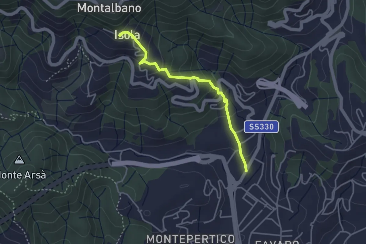
Easy · Trail
Felettino - Isola (Via dei Pilastri)
3.2 km · ↑ 238 m · 1 h 16 min · 5 km away
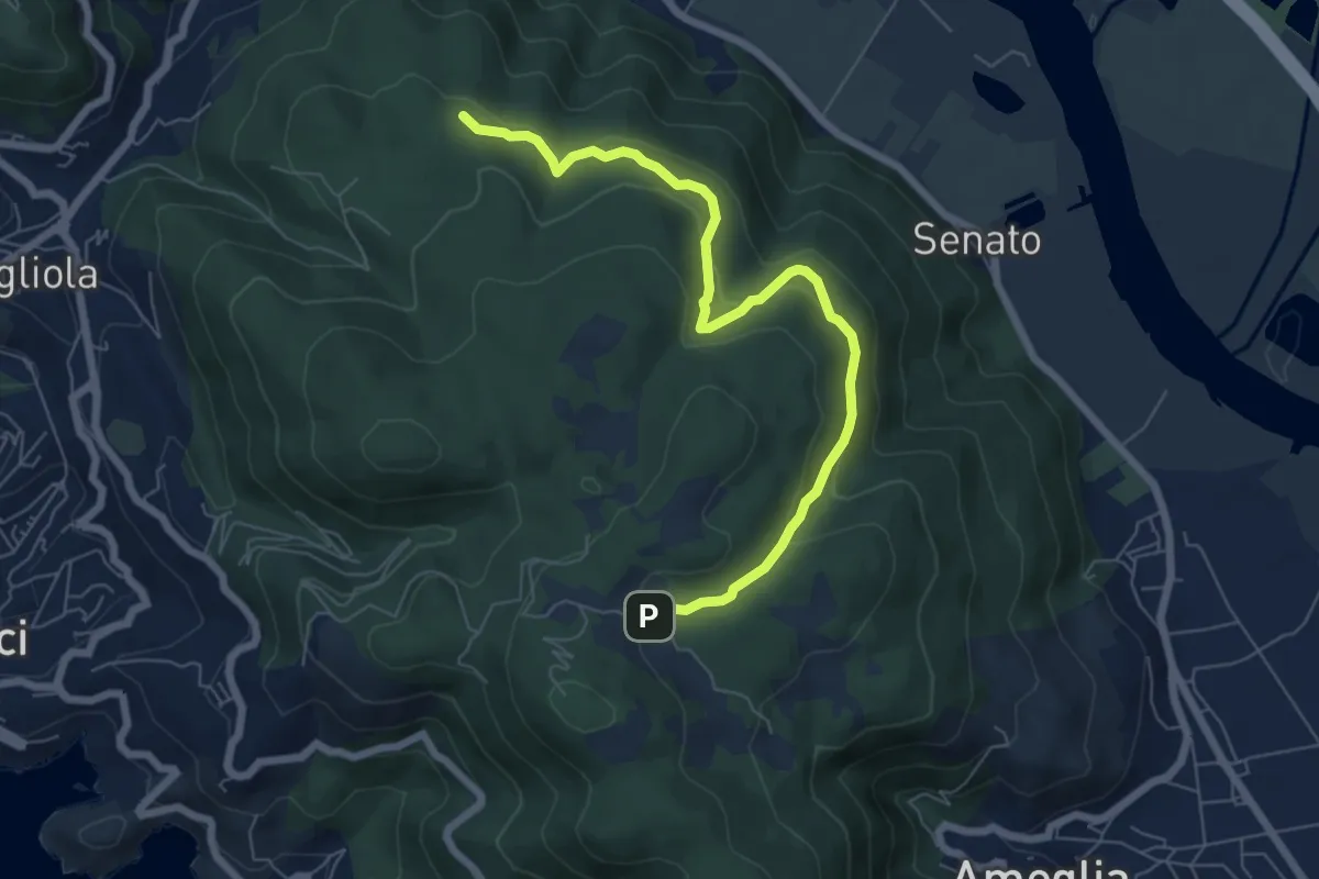
Medium · Trail
San Lorenzo – Cambia
7.3 km · ↑ 383 m · 2 h 33 min · 5 km away
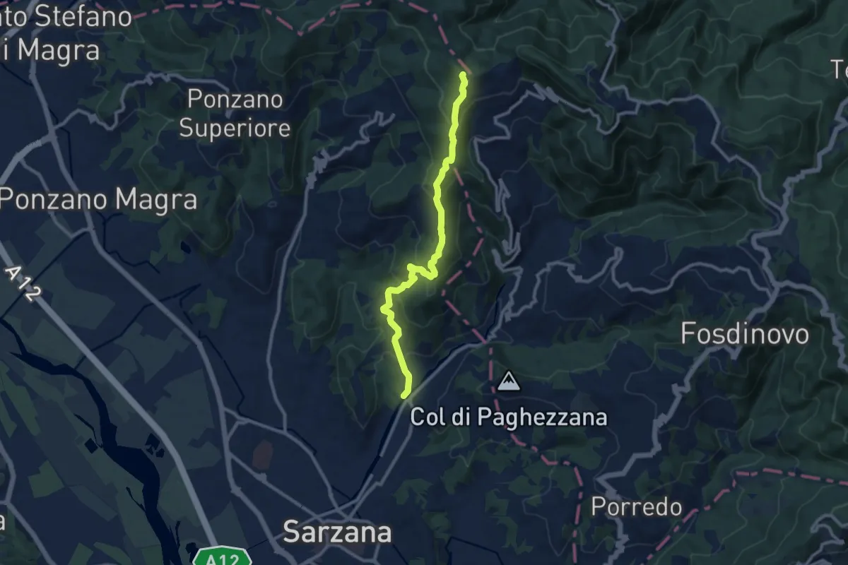
Medium · Trail
Ponte Budella – Percorso 290
9.7 km · ↑ 538 m · 3 h 28 min · 5 km away
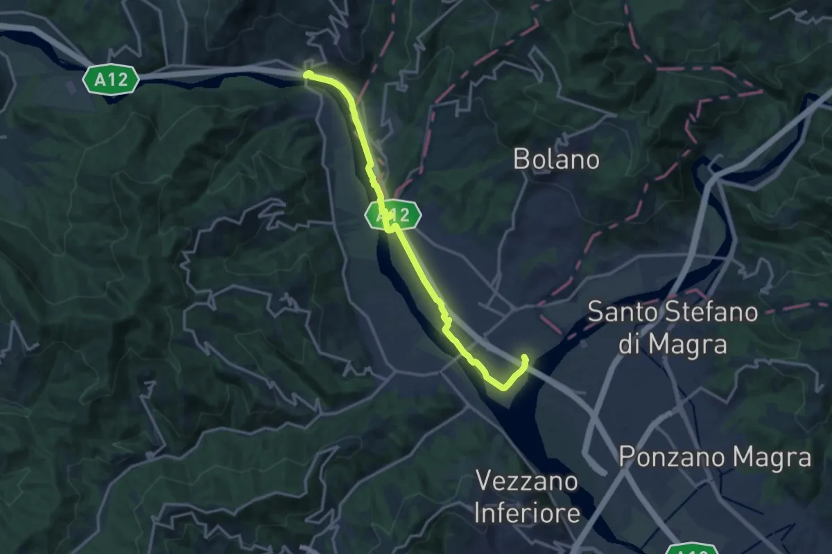
Medium · Trail
Ceparana – Piano di Madrignano
14.0 km · ↑ 32 m · 3 h 22 min · 5 km away
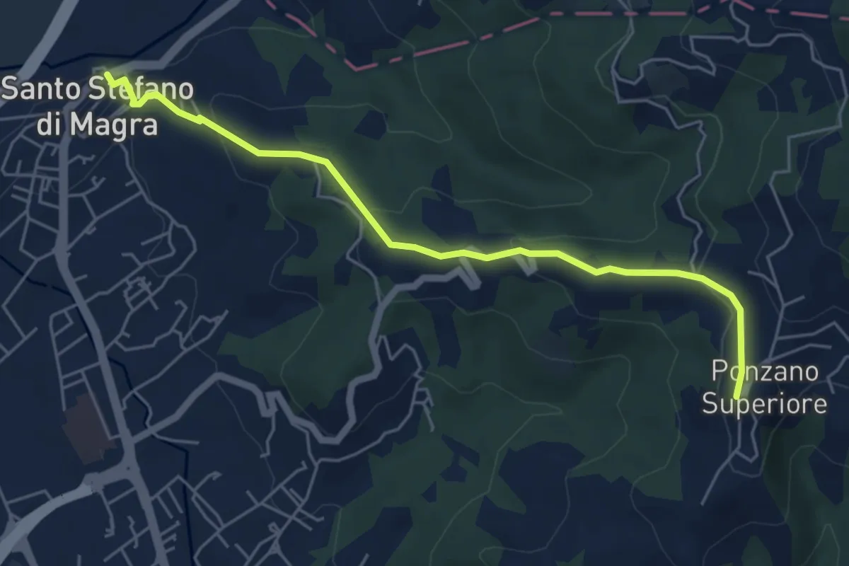
Easy · Trail
Santo Stefano di Magra – Ponzano Superiore
5.5 km · ↑ 219 m · 1 h 47 min · 6 km away
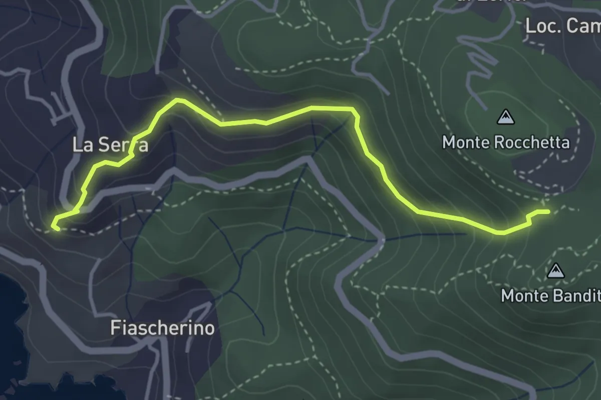
Easy · Trail
La Serra – Sella Monte Rocchetta
3.8 km · ↑ 284 m · 1 h 30 min · 6 km away
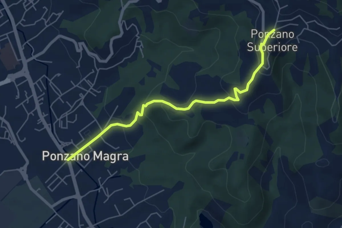
Easy · Trail
Ponzano Madonnetta – Ponzano Superiore
5.2 km · ↑ 255 m · 1 h 47 min · 6 km away
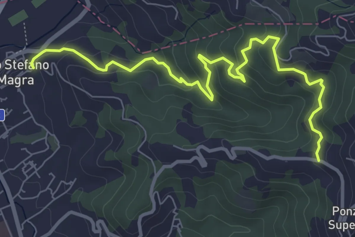
Medium · Trail
Santo Stefano di Magra – C. Volpara – C. Piazza
7.9 km · ↑ 378 m · 2 h 42 min · 6 km away
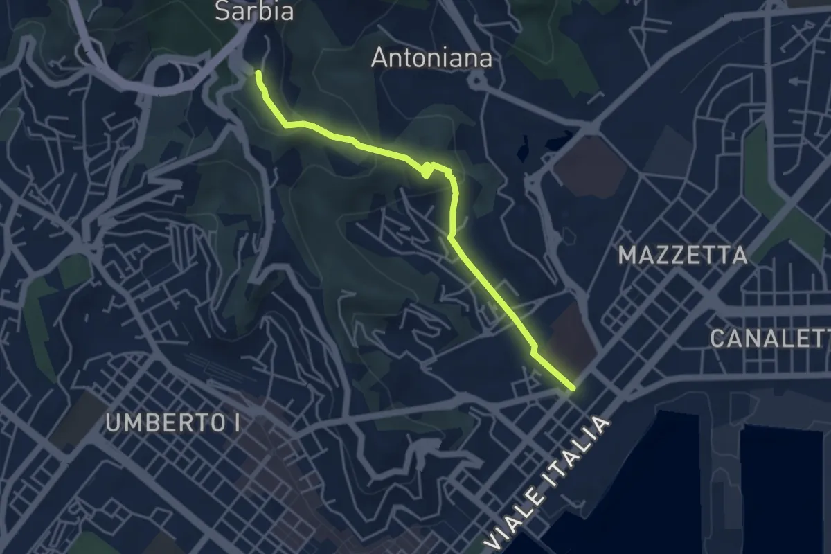
Easy · Trail
Via Veneto – Valdellora – Castellazzo – Sarbia
4.1 km · ↑ 153 m · 1 h 18 min · 6 km away
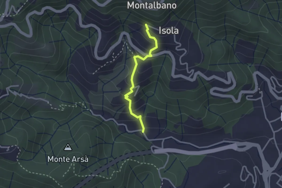
Easy · Trail
Felettino - Montalbano (Scalinata del Forno)
2.2 km · ↑ 220 m · 1 h · 6 km away
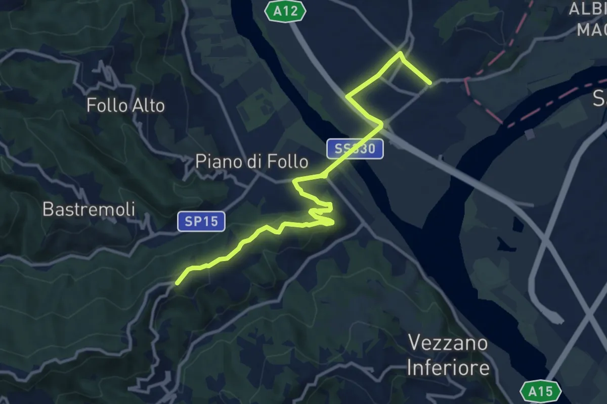
Medium · Trail
Collegamento AVG-AVML
11.7 km · ↑ 286 m · 3 h 22 min · 6 km away
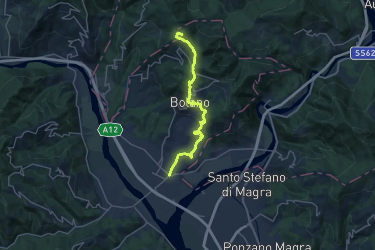
Medium · Summit
Valico dei Solini – Ceparana
13.9 km · ↑ 765 m · 4 h 56 min · 6 km away
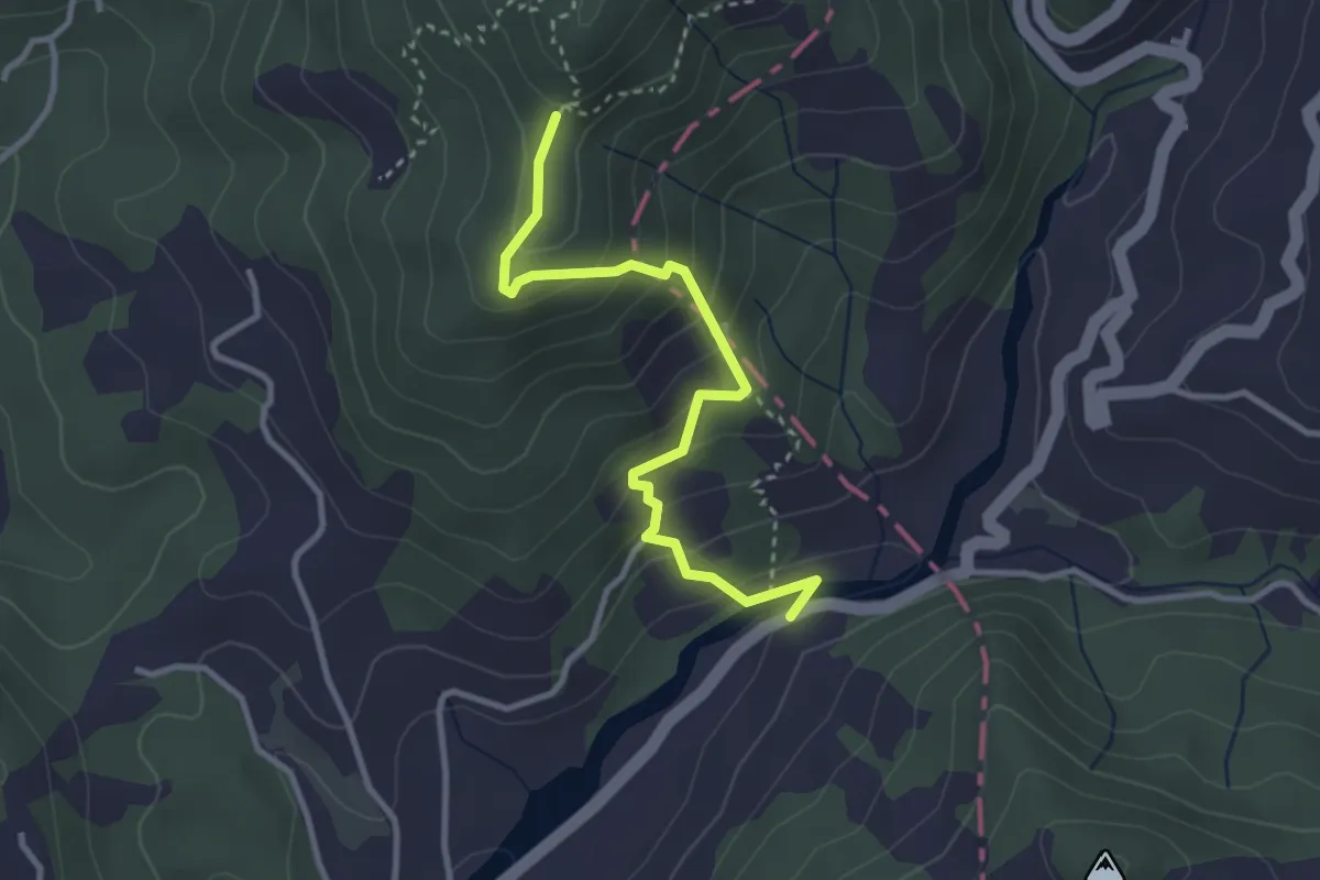
Easy · Trail
Via dei Molini – Percorso 325 - Prulla
3.3 km · ↑ 276 m · 1 h 23 min · 6 km away
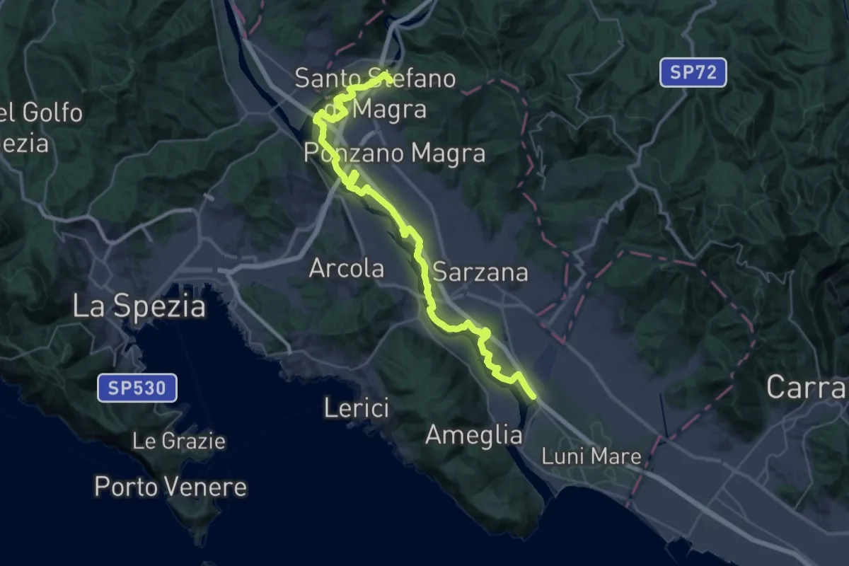
Demanding · Trail
Sarzana (Marina 3B) – Santo Stefano di Magra
20.2 km · ↑ 9 m · 5 h 5 min · 6 km away
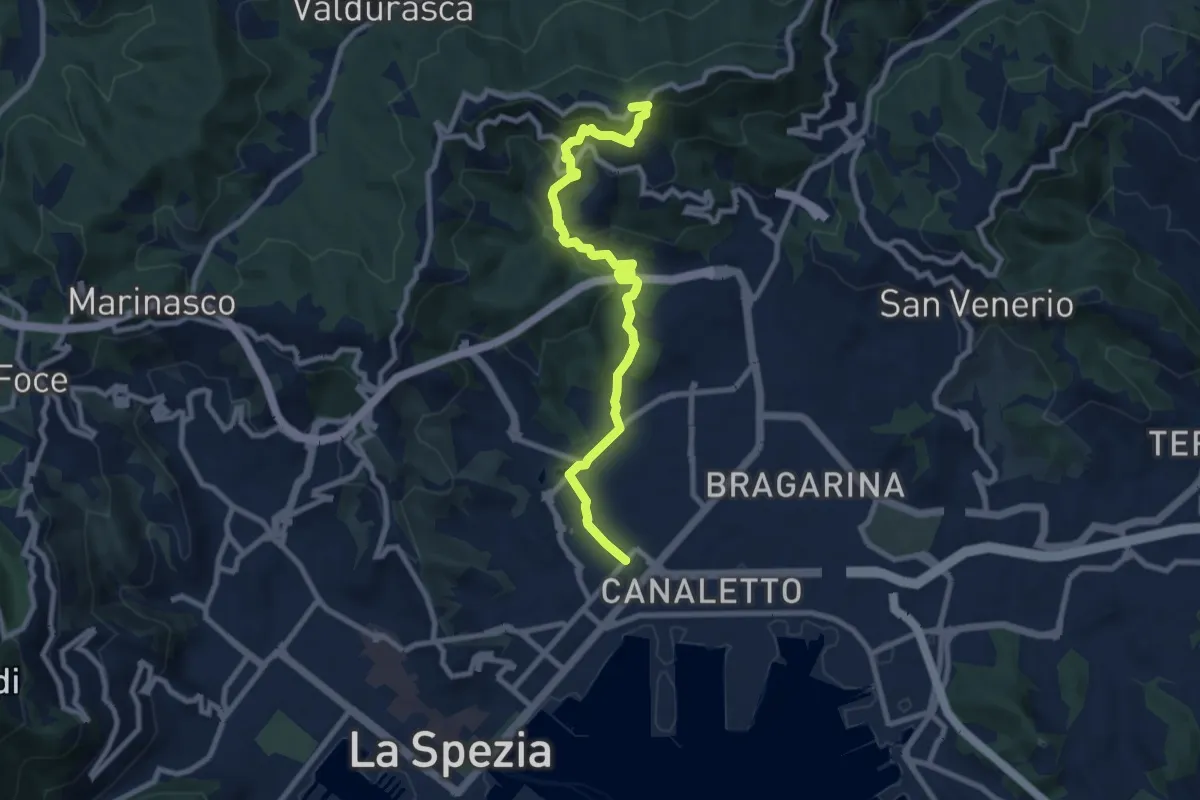
Medium · Trail
Via Veneto – Vailunga – Toracca – Isola – Montalbano
9.6 km · ↑ 452 m · 3 h 14 min · 6 km away
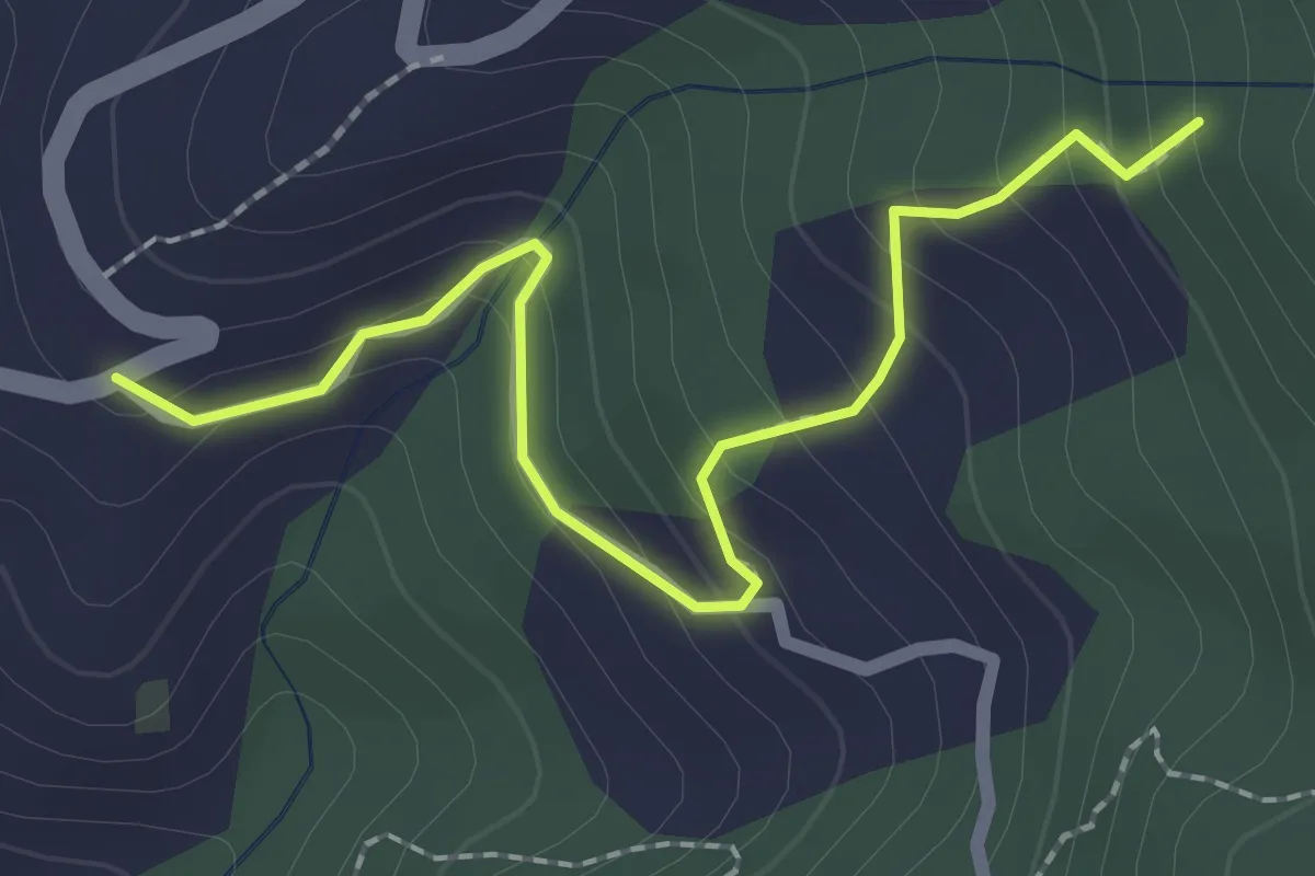
Easy · Trail
Località Falcinello (Percorso 322) – Percorso 327
2.4 km · ↑ 195 m · 1 h · 6 km away