Trails near Arcola
211 hikes starting within 15 km, nearest first.
Nearest first, page 2 of 5
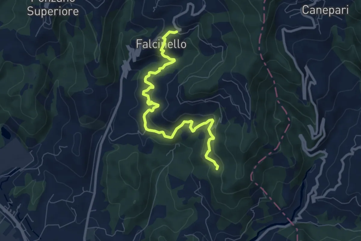
Medium · Trail
Falcinello – Percorso 325
8.0 km · ↑ 492 m · 2 h 57 min · 6 km away
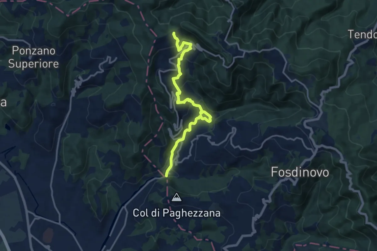
Demanding · Trail
Ponte Fabiano – Percorso 290
11.4 km · ↑ 536 m · 3 h 51 min · 6 km away
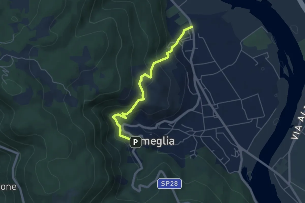
Easy · Trail
Fiume Magra – Camisano – C. Pianca – Ameglia
4.4 km · ↑ 307 m · 1 h 43 min · 7 km away
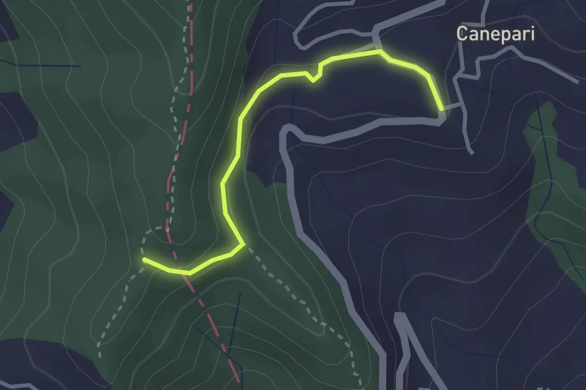
Easy · Trail
Canepari (Percorso 288) – Percorso 325
2.5 km · ↑ 90 m · 47 min · 7 km away
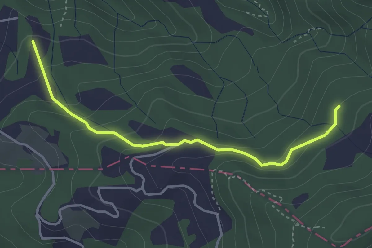
Easy · Trail
Caprigliola – Ar D 'ndre
3.4 km · ↑ 191 m · 1 h 13 min · 7 km away
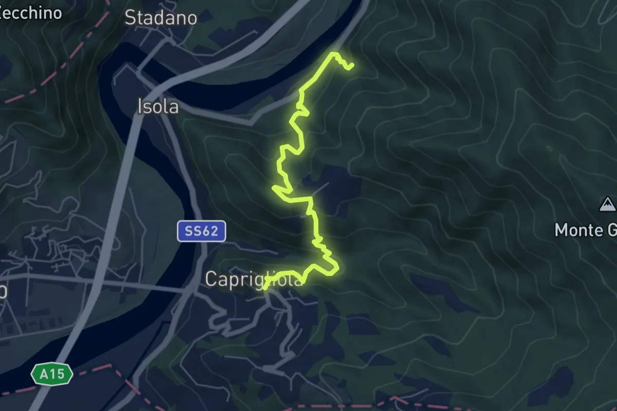
Demanding · Trail
S1 Caprigliola - Chiamici - Santuario Madonna del Ponte
6.1 km · ↑ 492 m · 2 h 30 min · 7 km away
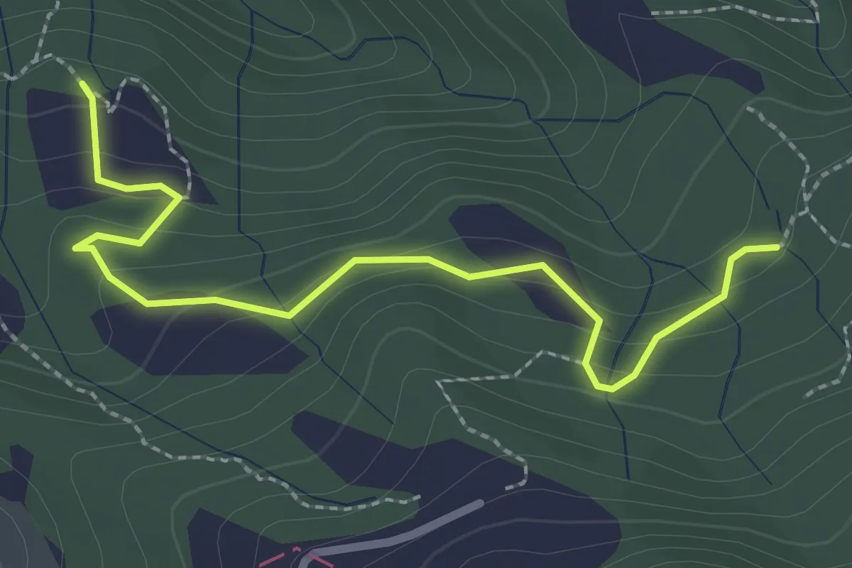
Easy · Trail
La Bastia – Castagni Grossi (bivio 231)
2.8 km · ↑ 159 m · 1 h · 7 km away
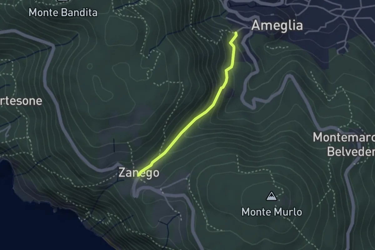
Easy · Trail
Ameglia – Zanego
2.6 km · ↑ 140 m · 55 min · 7 km away
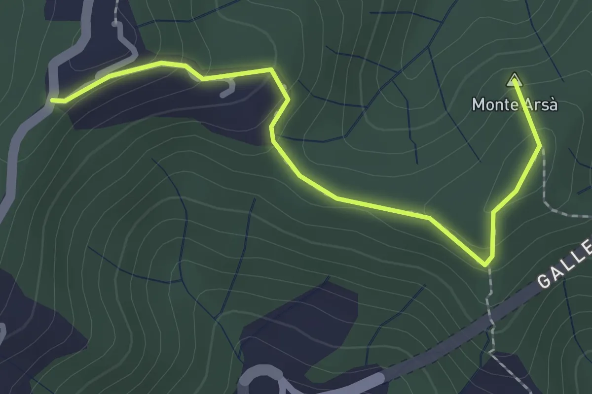
Easy · Summit
Montepertico – M. Arsà – La Moggia – innesto AVG
2.4 km · ↑ 122 m · 49 min · 7 km away
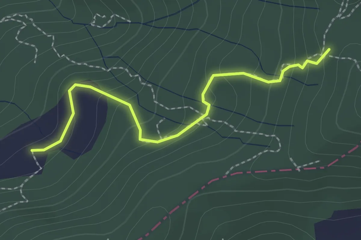
Easy · Trail
S2/bis Sentiero La bronzina - Quattro strade
2.2 km · ↑ 131 m · 49 min · 7 km away
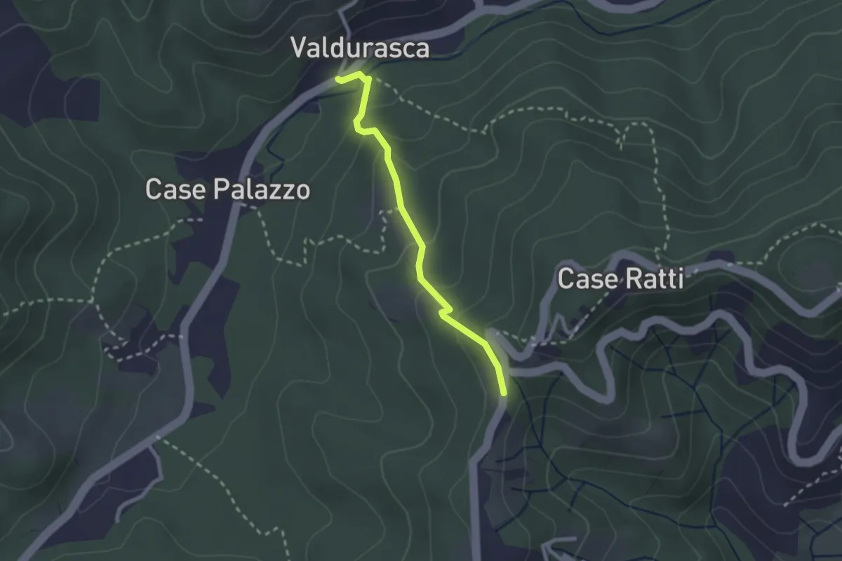
Easy · Trail
Durasca – Campasso – Serrolungo – innesto AVG
2.2 km · ↑ 128 m · 48 min · 7 km away
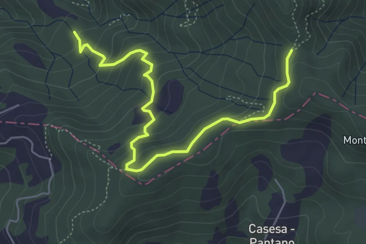
Easy · Trail
S2 Sentiero Valle dei Mulini- Quattro Strade
5.6 km · ↑ 305 m · 1 h 59 min · 7 km away
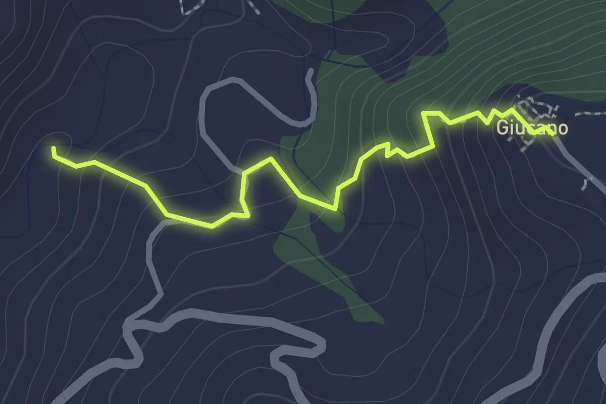
Easy · Trail
Percorso 288 – Giucano
2.4 km · ↑ 191 m · 58 min · 7 km away
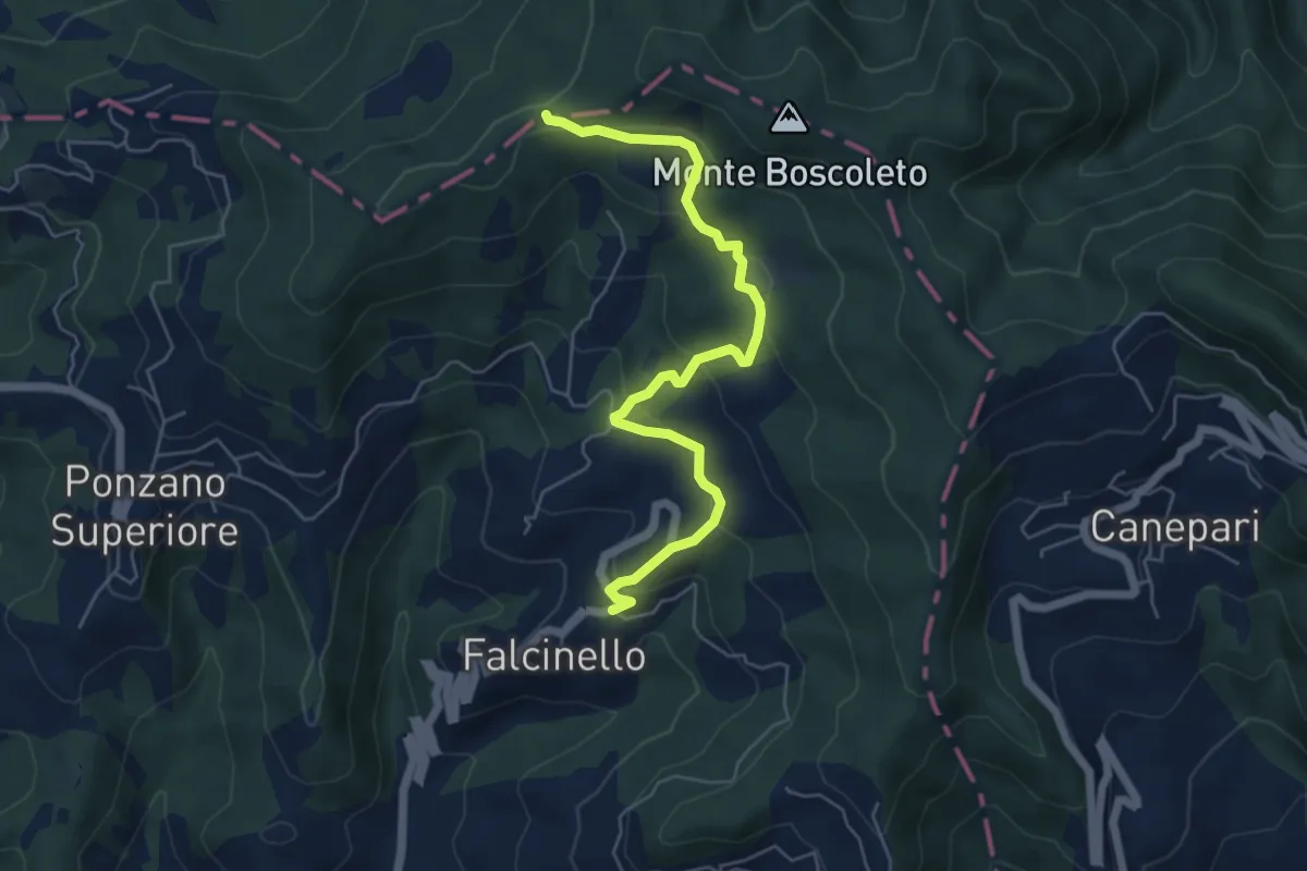
Easy · Trail
Falcinello – Via Francigena
6.0 km · ↑ 258 m · 1 h 59 min · 7 km away
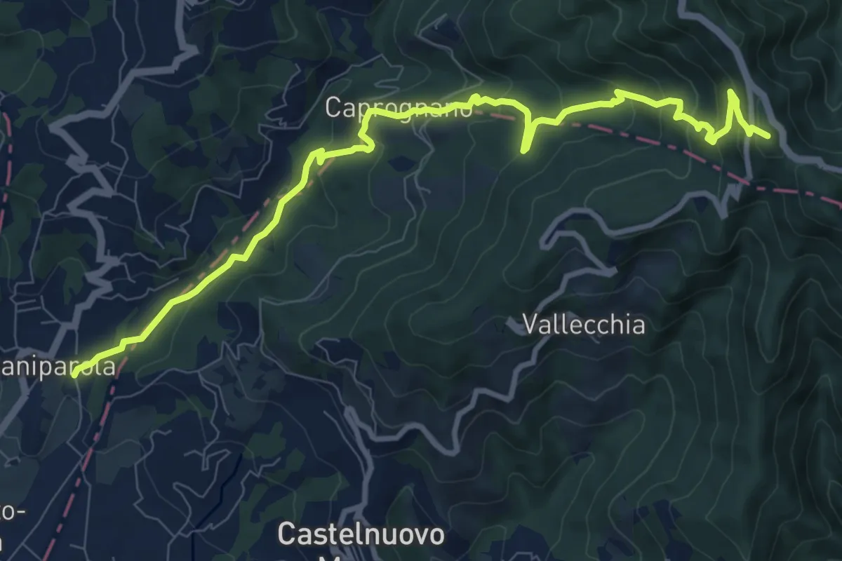
Medium · Summit
Caniparola – Strada Provinciale 51 - SP73
11.0 km · ↑ 629 m · 3 h 57 min · 7 km away
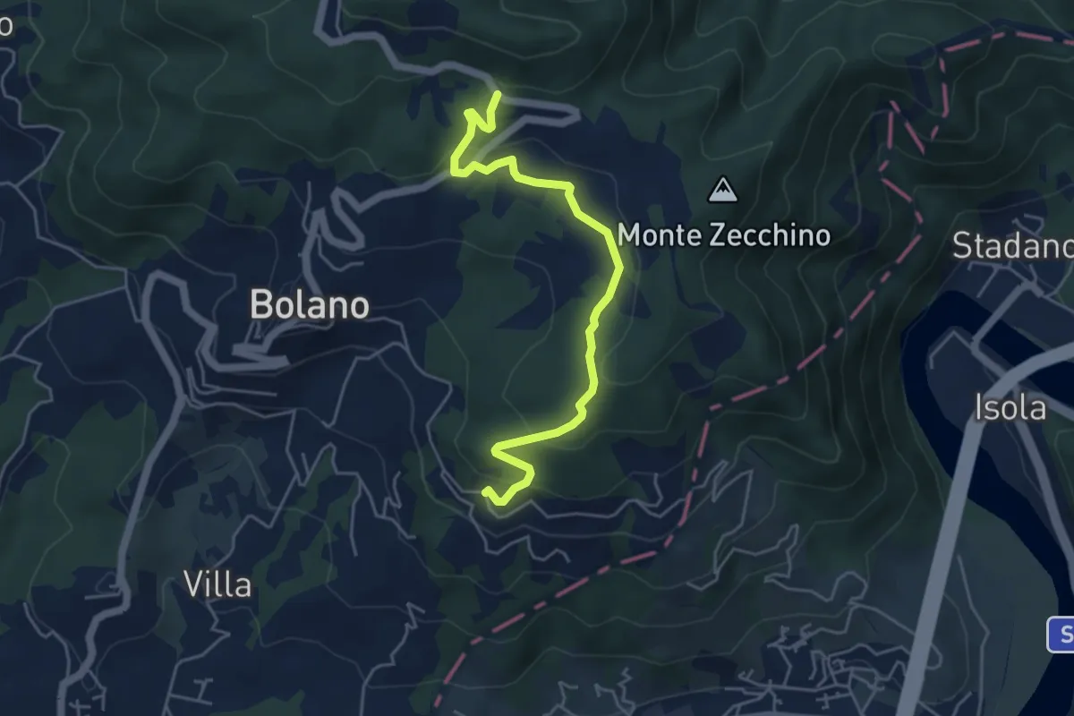
Easy · Trail
Bivio 285 – Case Cavanon
5.0 km · ↑ 186 m · 1 h 35 min · 8 km away
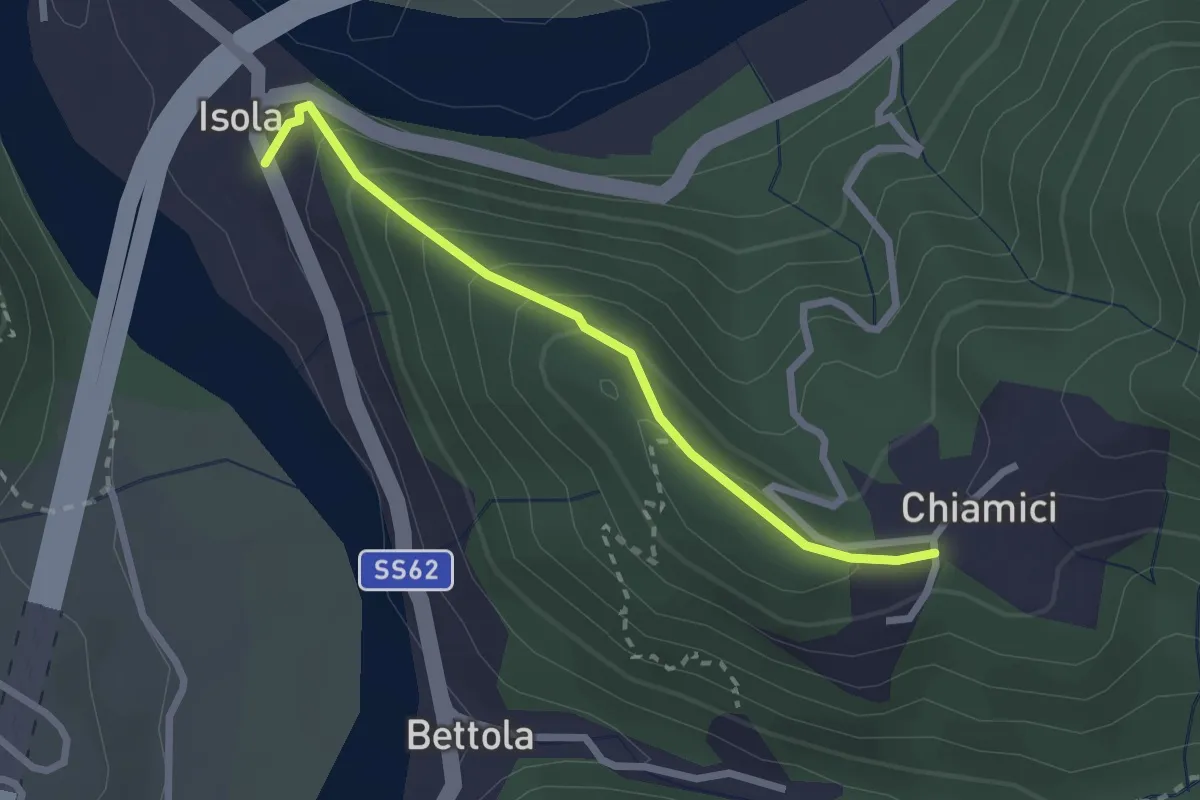
Easy · Trail
S6 Chiamici - Isola
2.4 km · ↑ 172 m · 57 min · 8 km away
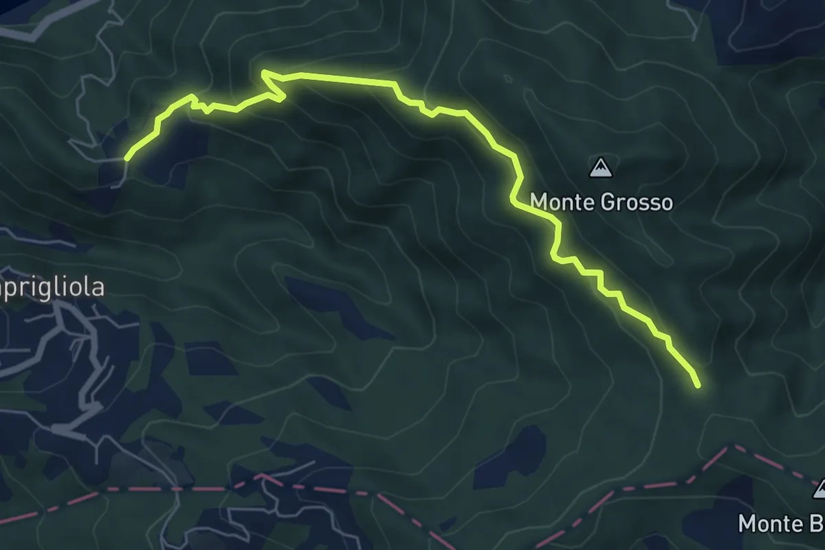
Medium · Trail
S3 Sentiero della Tira: Chiamici - Quattro strade
6.8 km · ↑ 538 m · 2 h 46 min · 8 km away
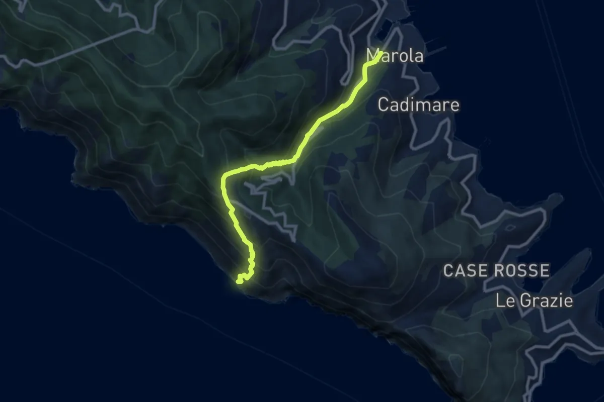
Medium · Trail
Acquasanta – Punta Persico
8.1 km · ↑ 787 m · 3 h 37 min · 8 km away
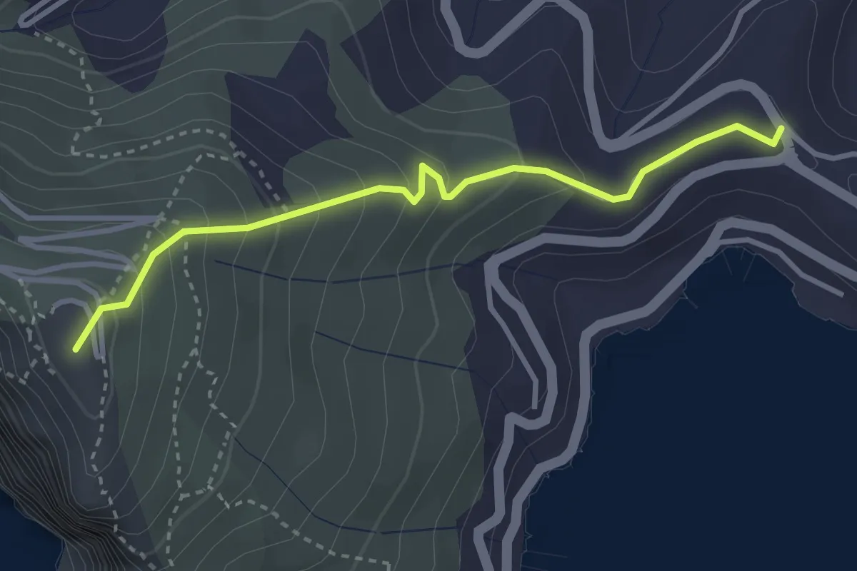
Easy · Summit
Località Il Cavo – Forte Muzzerone
3.3 km · ↑ 255 m · 1 h 20 min · 8 km away
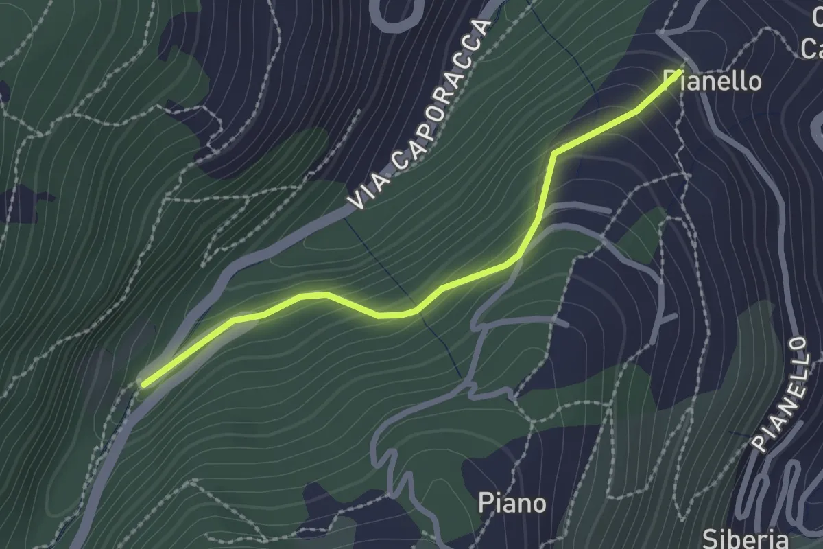
Easy · Trail
Montale – innesto sent. 528
2.2 km · ↑ 140 m · 50 min · 8 km away
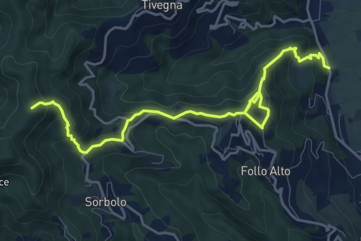
Medium · Summit
Panigara – Follo – Madonna del Carmine – Monte Termi Dritti
10.5 km · ↑ 787 m · 4 h 12 min · 8 km away
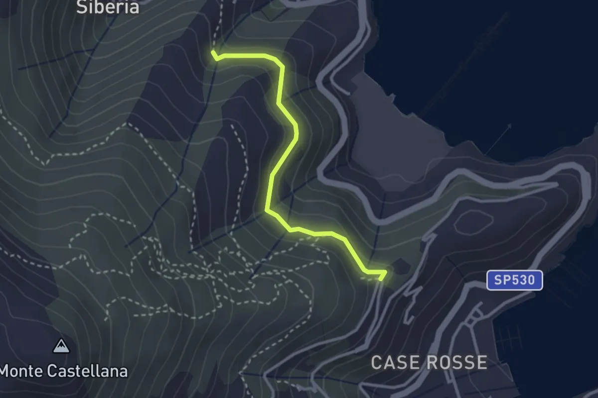
Easy · Trail
C. Giachetta – Via Pezzino Alto
2.7 km · ↑ 142 m · 56 min · 8 km away
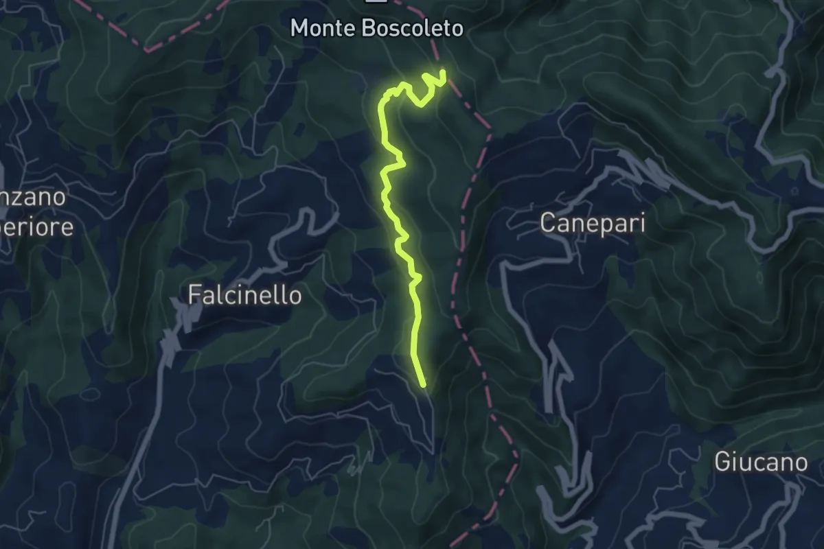
Easy · Trail
Percorso 325 – Percorso 290
5.3 km · ↑ 240 m · 1 h 47 min · 8 km away
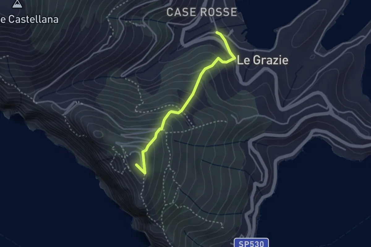
Medium · Summit
Le Grazie – La Martina
2.9 km · ↑ 307 m · 1 h 21 min · 8 km away
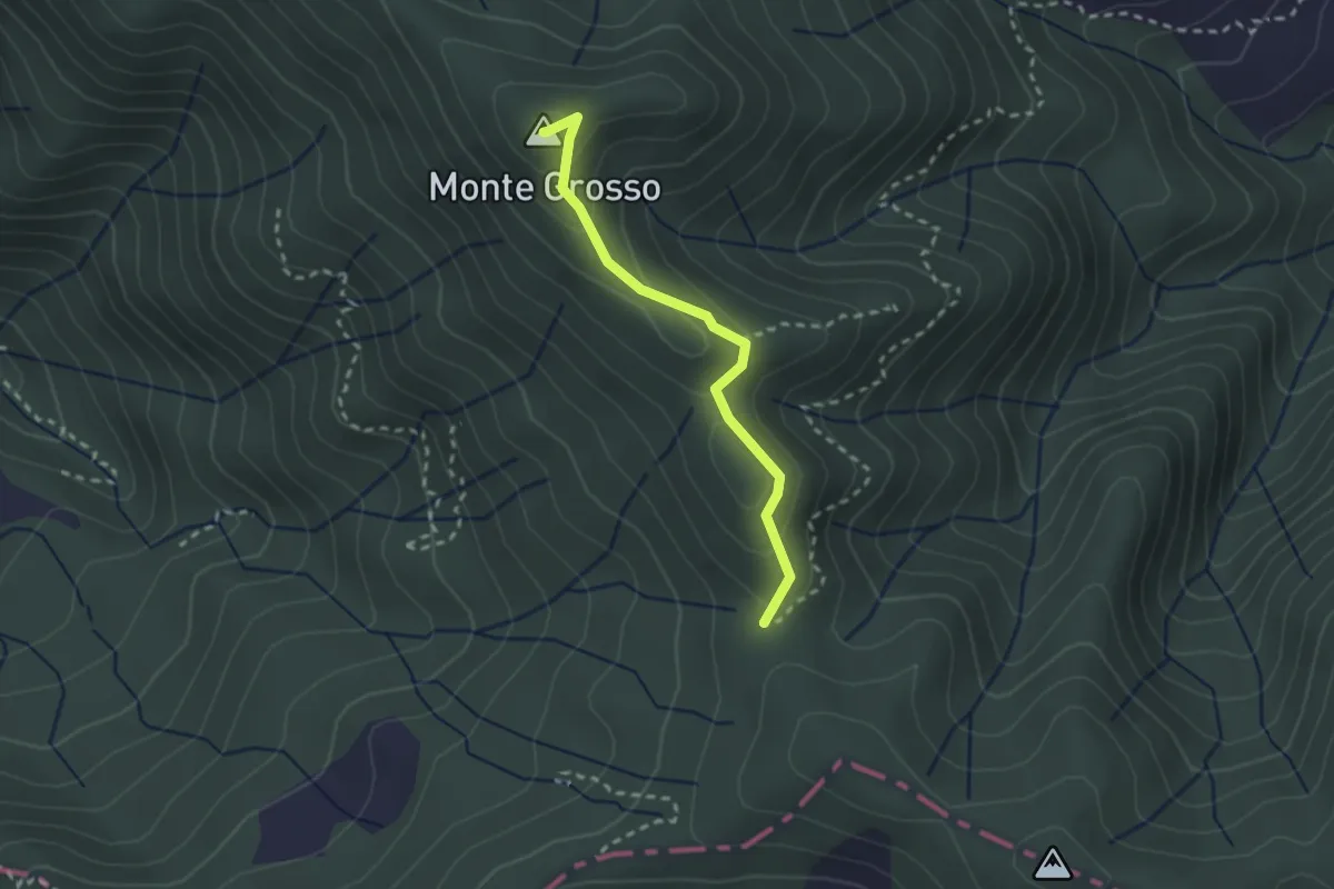
Easy · Summit
S5: Quattro Strade - Monte Grosso - La Tira
2.3 km · ↑ 113 m · 48 min · 8 km away
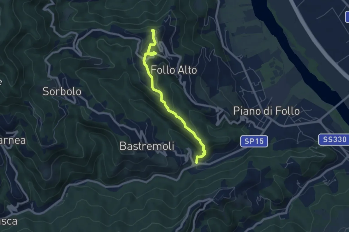
Easy · Trail
Val Durasca – Toracca – Follo
5.5 km · ↑ 297 m · 1 h 56 min · 8 km away
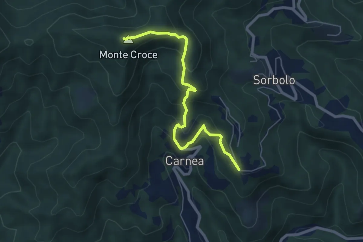
Demanding · Summit
Madonna dell’ Olivo – Carnea - Monte Croce
5.2 km · ↑ 410 m · 2 h 6 min · 8 km away
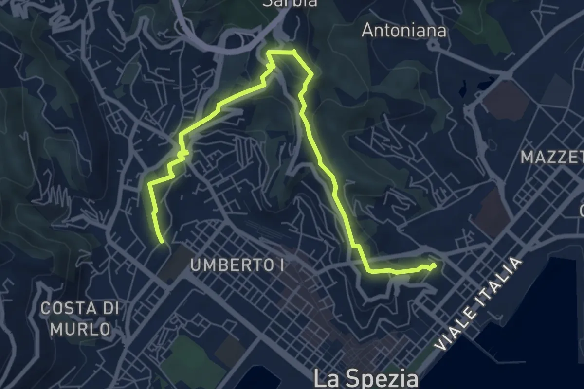
Medium · Trail
Giro delle Mura
7.8 km · ↑ 325 m · 2 h 33 min · 8 km away
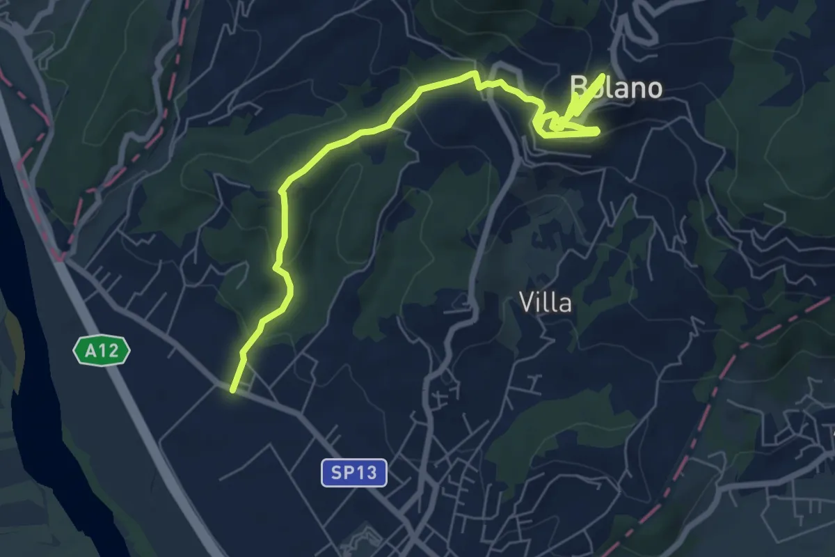
Medium · Trail
Ceparana – San Bartolomeo – Bolano (Bivio AVML)
7.9 km · ↑ 444 m · 2 h 49 min · 8 km away
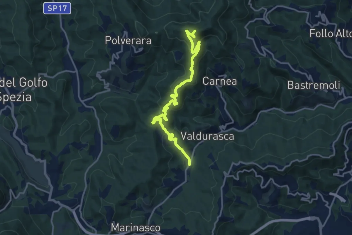
Medium · Summit
Case Palazzo – Passo di Ri – La Gretta – Monte Croce
11.8 km · ↑ 620 m · 4 h 8 min · 8 km away
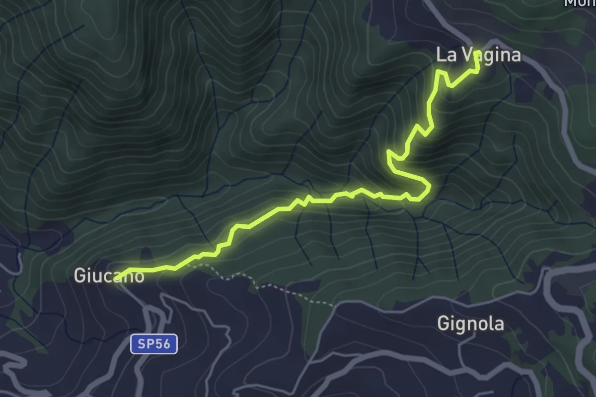
Medium · Trail
Giucano – Località La Vagina
5.1 km · ↑ 404 m · 2 h 5 min · 8 km away
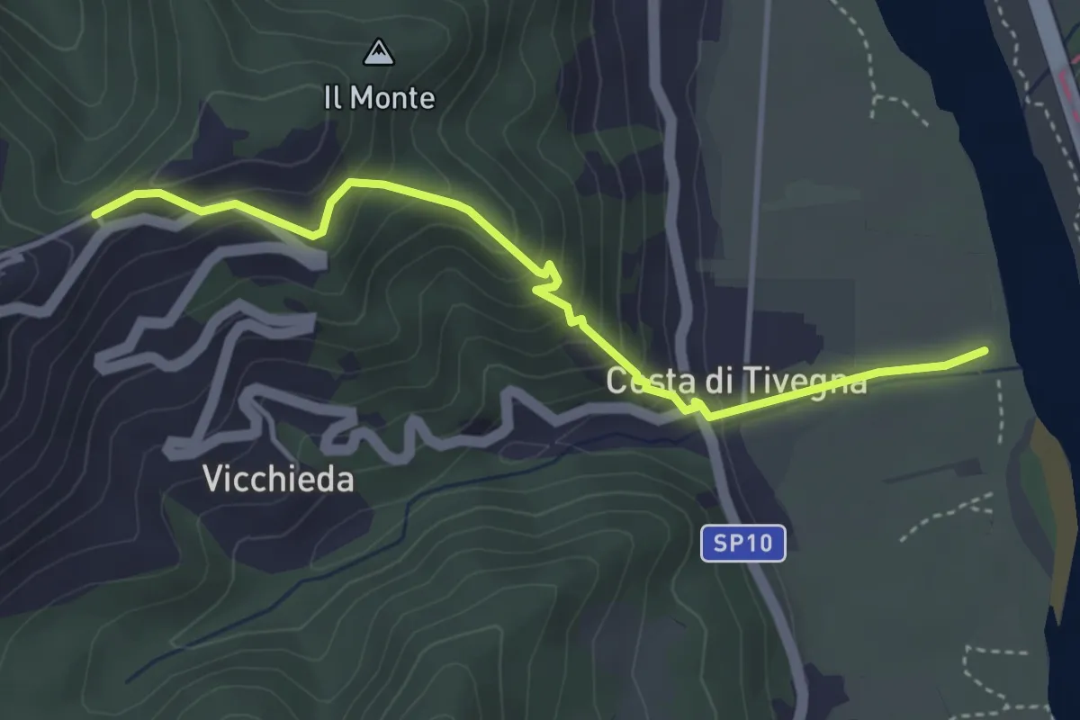
Easy · Trail
Vara – Pie’ di Foce
4.1 km · ↑ 292 m · 1 h 37 min · 8 km away
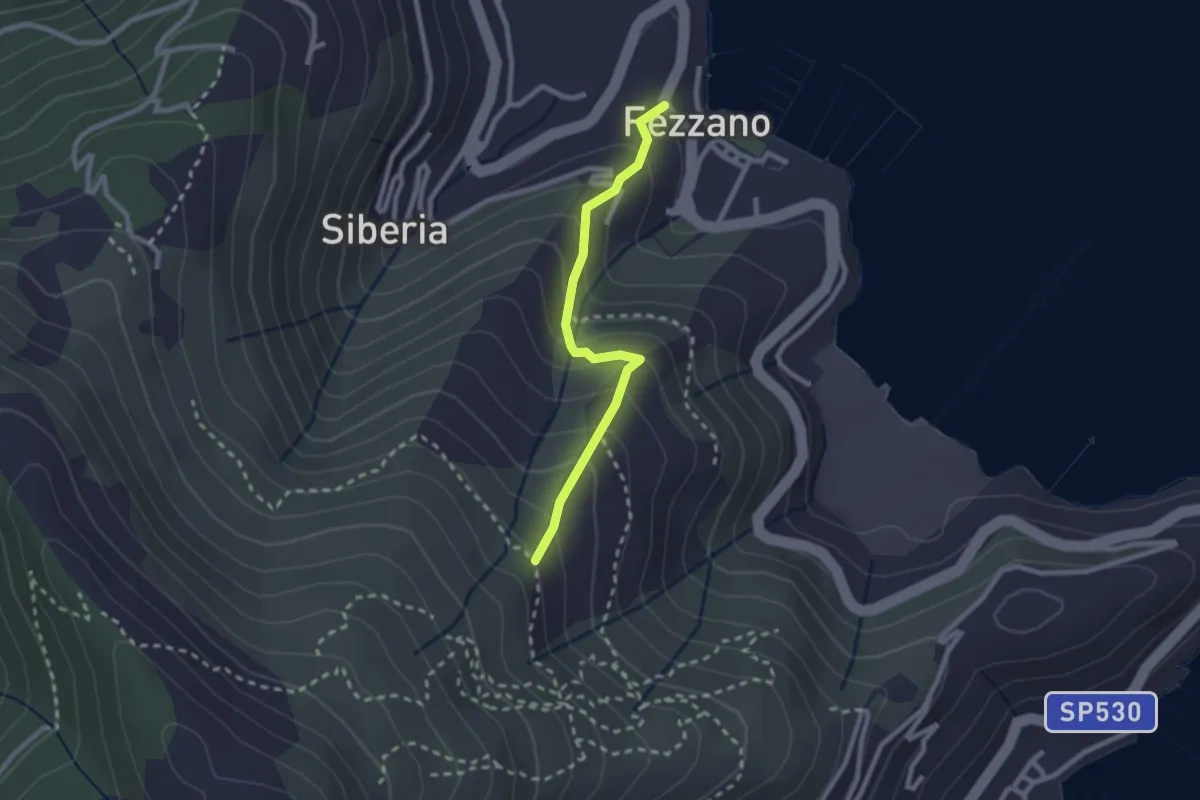
Easy · Trail
Fezzano – Case Villano
2.3 km · ↑ 217 m · 1 h 1 min · 8 km away
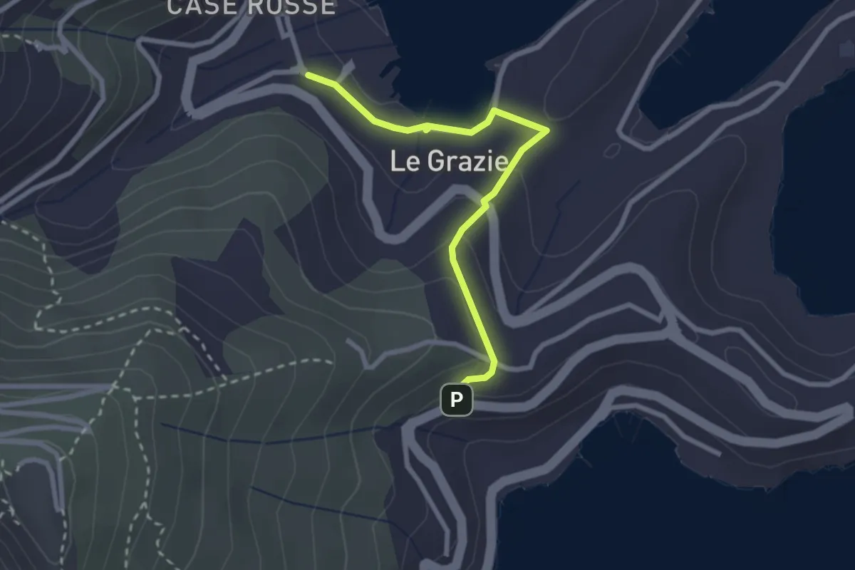
Easy · Trail
Le Grazie – Varignano - S. Antonio
2.6 km · ↑ 88 m · 48 min · 8 km away
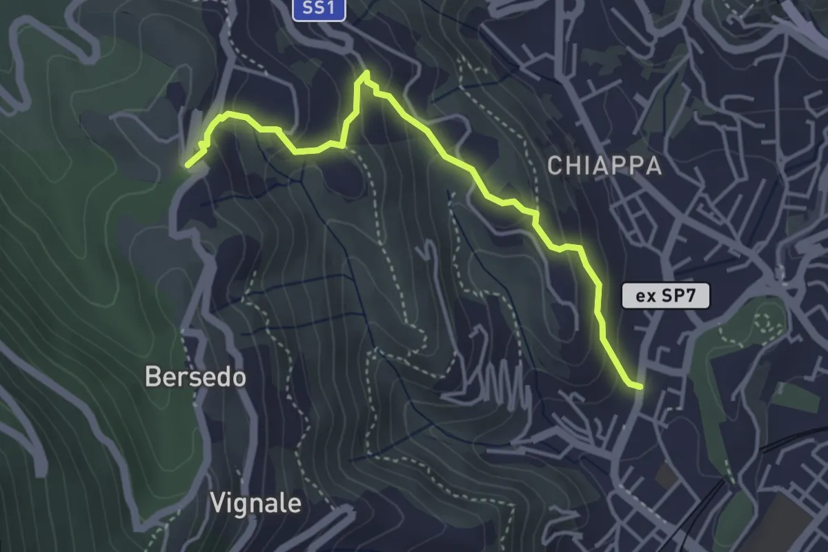
Easy · Trail
Rebocco – Sant'Anna
4.1 km · ↑ 270 m · 1 h 34 min · 8 km away
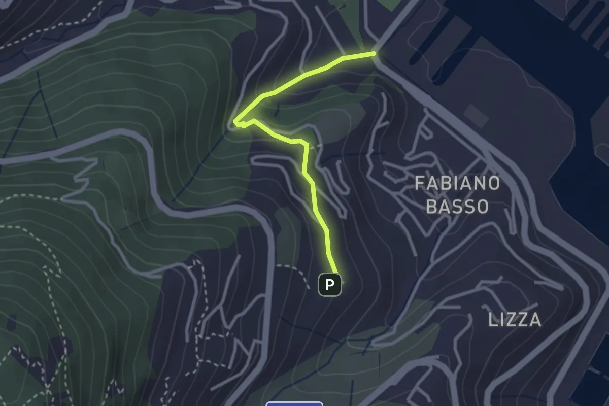
Easy · Trail
Buggi – Fabiano Alto
2.6 km · ↑ 178 m · 59 min · 8 km away
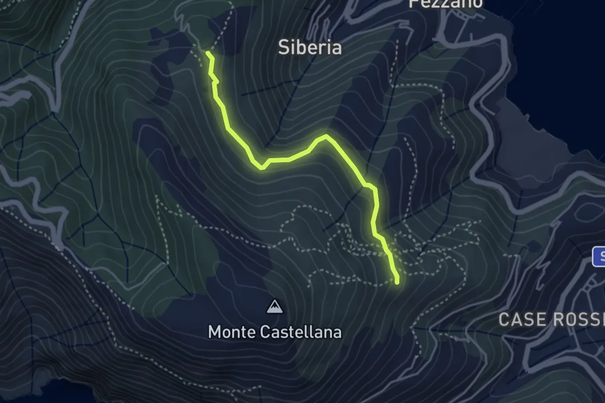
Easy · Trail
Il Piano – Case Villano
3.5 km · ↑ 133 m · 1 h 7 min · 8 km away
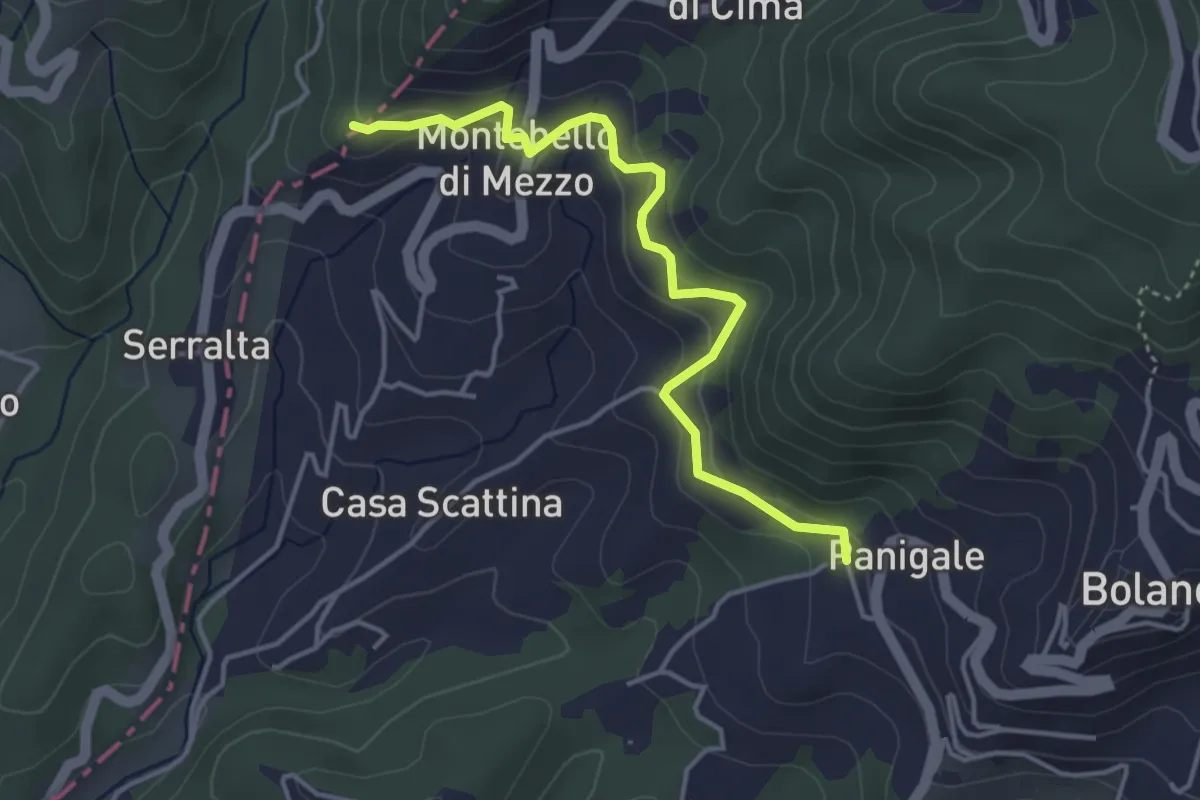
Easy · Trail
Panigale (Percorso 282) – Percorso 281
4.2 km · ↑ 227 m · 1 h 29 min · 8 km away
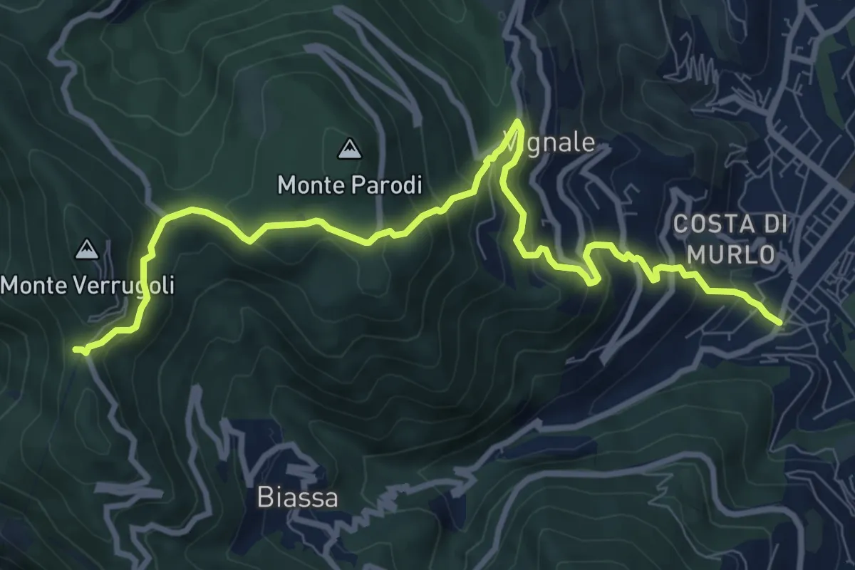
Demanding · Trail
Pegazzano – Bivio Bramapane
10.3 km · ↑ 802 m · 4 h 10 min · 8 km away
Easy · Trail
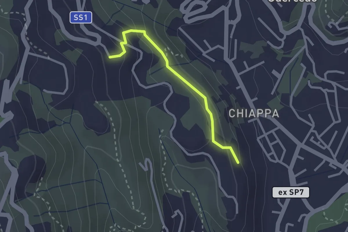
Maggiano – Bocca Lupara
2.1 km · ↑ 122 m · 46 min · 8 km away
Medium · Trail
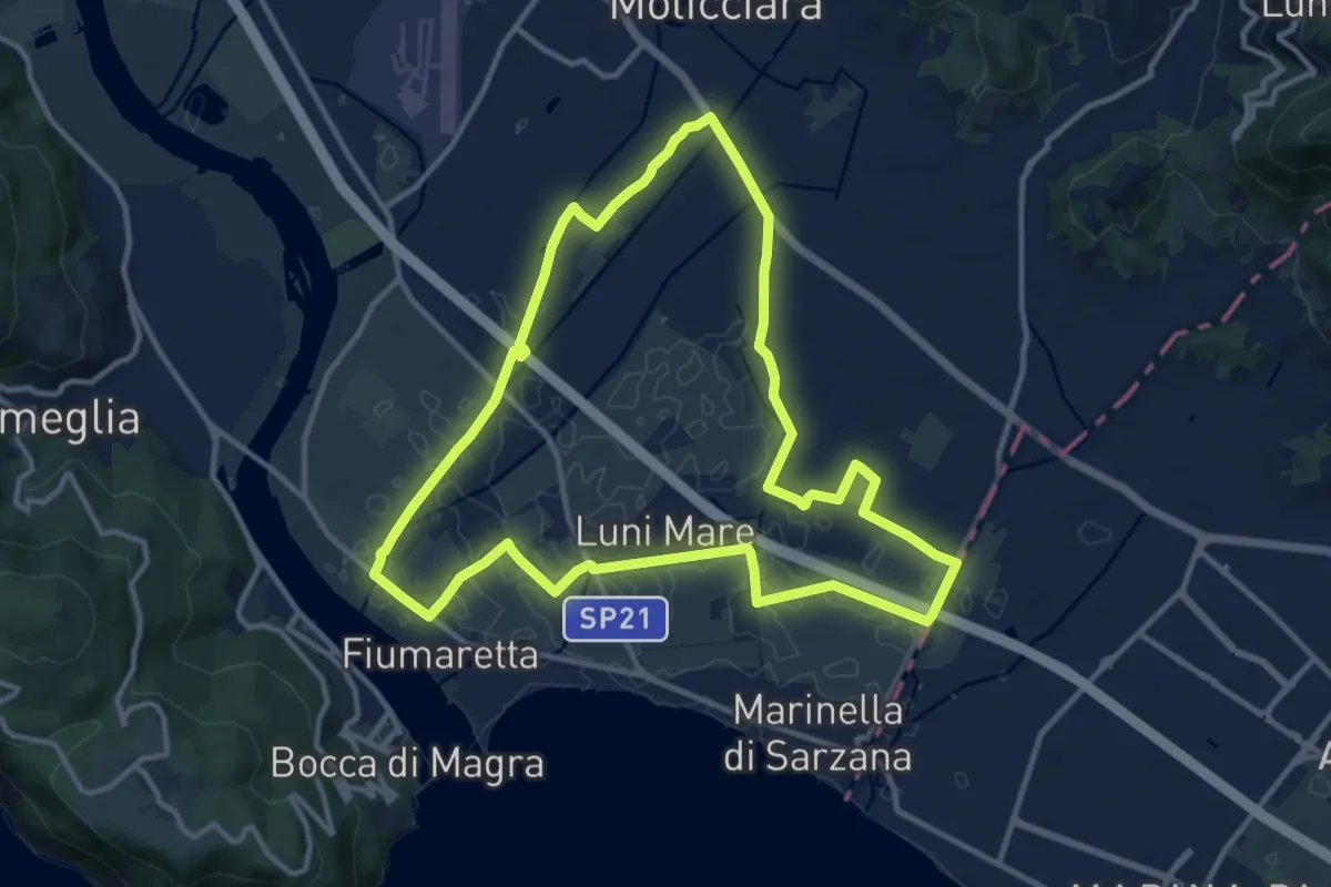
Sentiero Liguria - Tappa 0
12.9 km · ↑ 9 m · 3 h 15 min · 9 km away
Easy · Trail
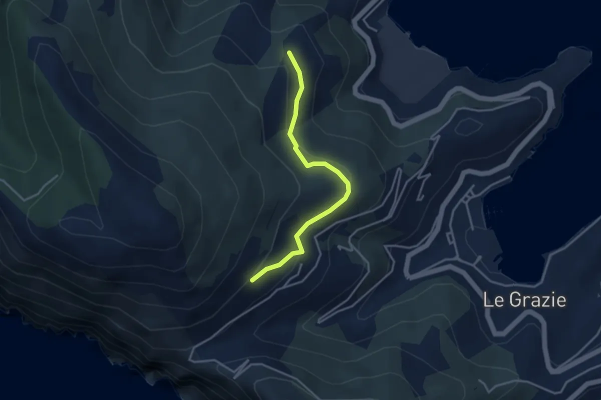
C. Tori – I Bondoni – C. Derbi
3.1 km · ↑ 143 m · 1 h 2 min · 9 km away
Easy · Trail
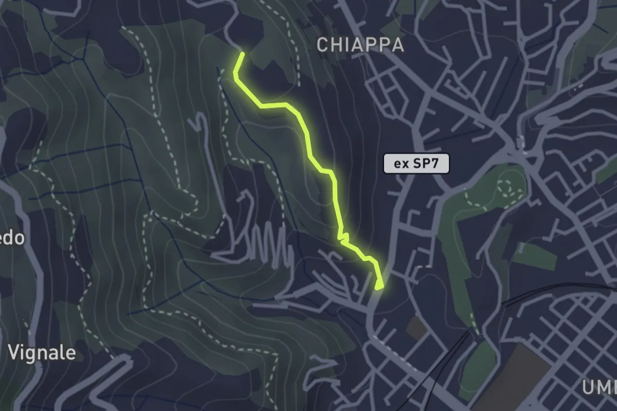
Rebocco – Torracca Inferiore
2.0 km · ↑ 99 m · 41 min · 9 km away
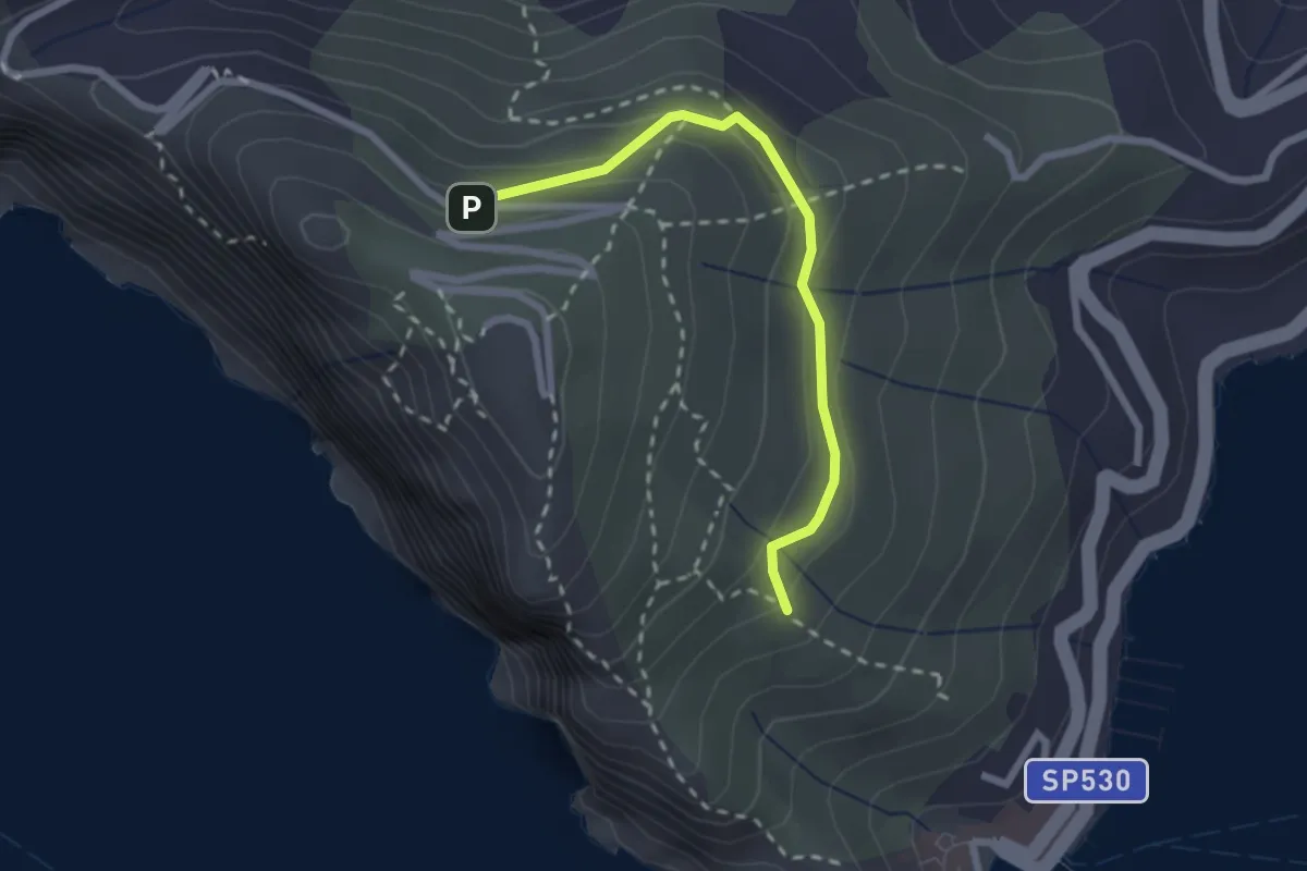
Easy · Trail
Cave del Muzzerone – innesto sent. 519
2.4 km · ↑ 117 m · 49 min · 9 km away
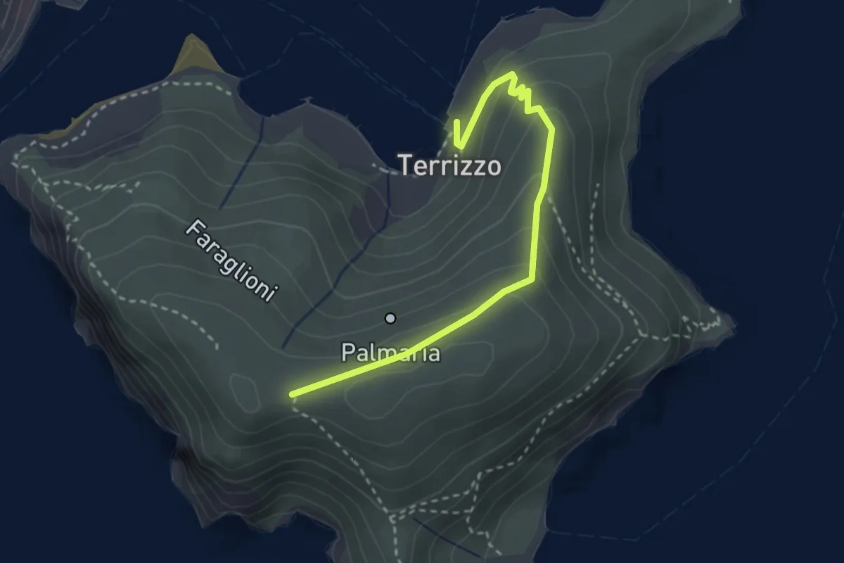
Medium · Trail
Isola Palmaria (strada dei condannati)
3.0 km · ↑ 164 m · 1 h 4 min · 9 km away
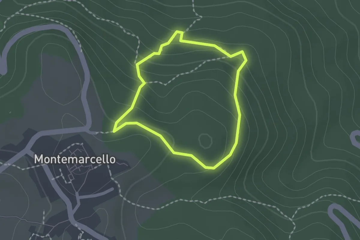
Easy · Trail
Montemarcello – giro del M. Marana
1.5 km · ↑ 81 m · 33 min · 9 km away
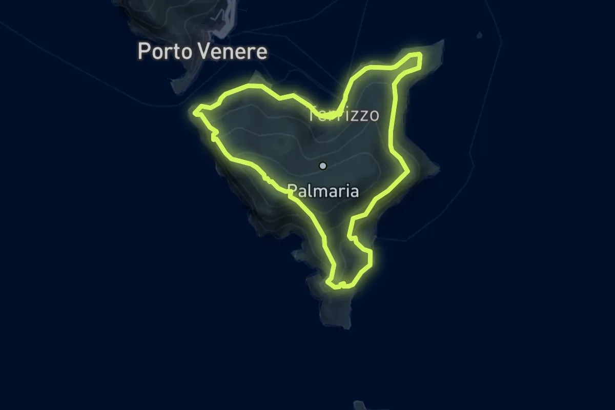
Medium · Trail
Isola Palmaria (giro dell'isola)
12.2 km · ↑ 624 m · 4 h 15 min · 9 km away