Trails near Arcola
211 hikes starting within 15 km, nearest first.
Nearest first, page 3 of 5
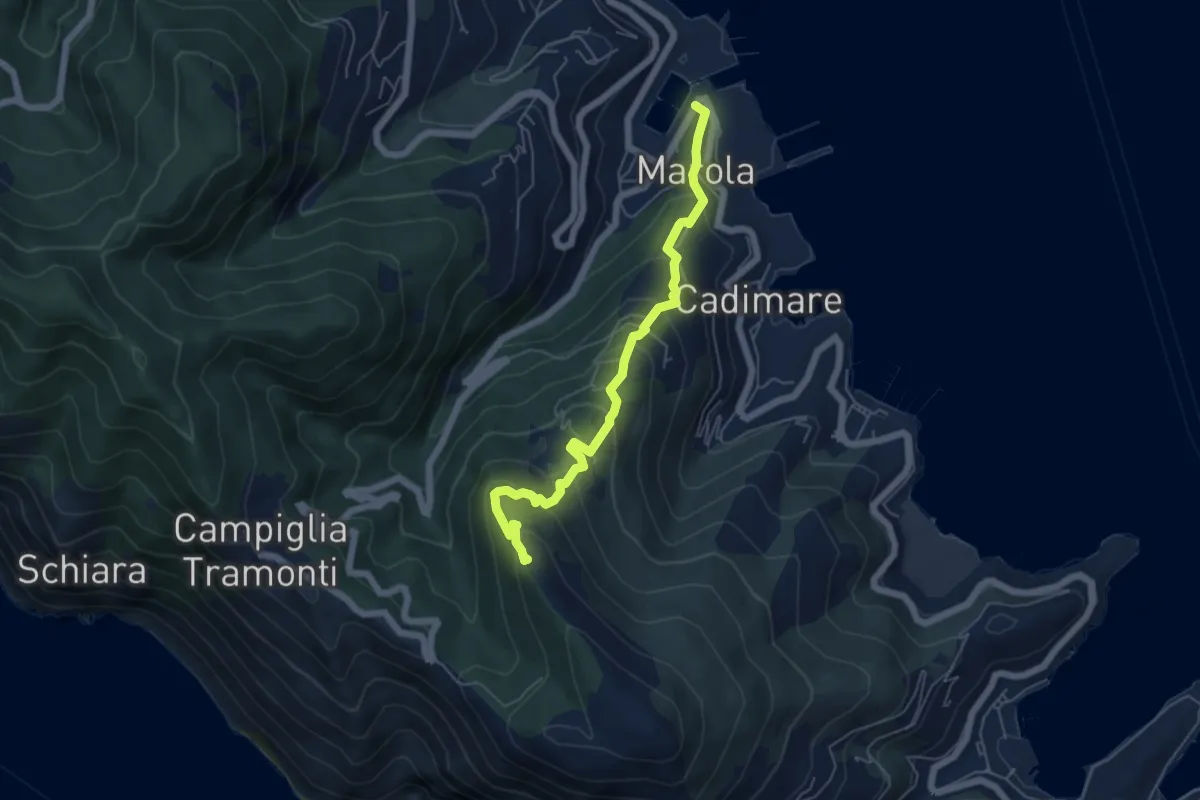
Medium · Trail
Marola – Il Piano – Cave del Piano
5.9 km · ↑ 437 m · 2 h 20 min · 9 km away
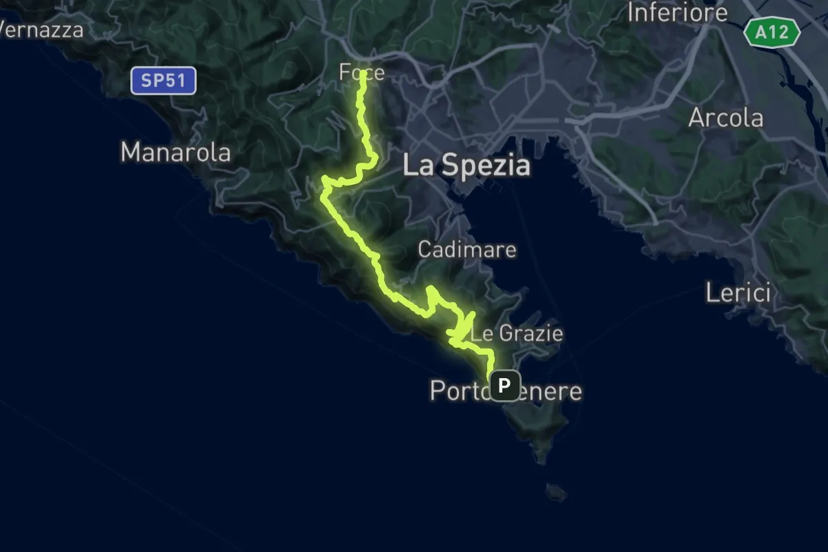
Demanding · Trail
Alta Via del Golfo: La Foce - Portovenere
17.1 km · ↑ 970 m · 6 h 16 min · 9 km away
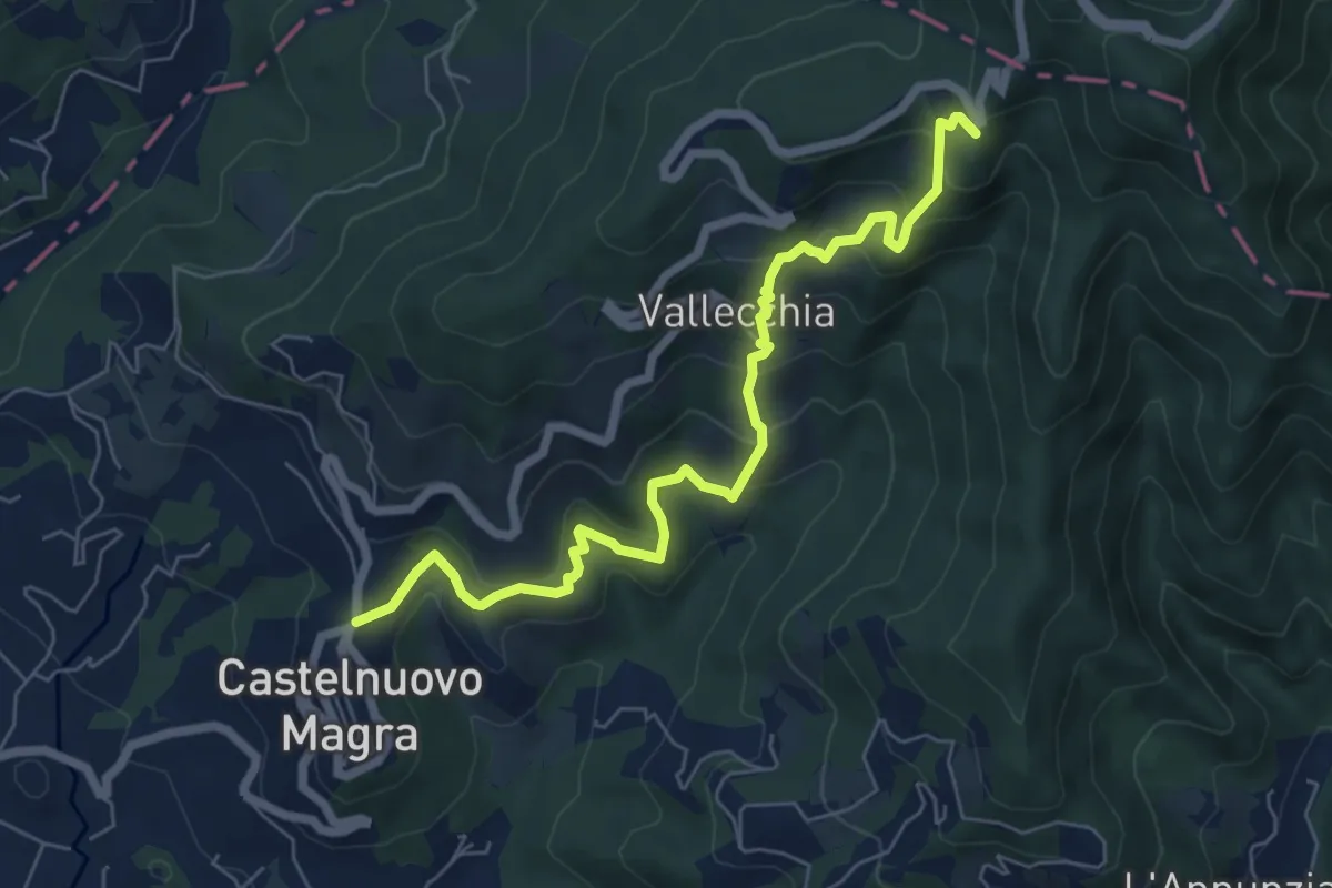
Medium · Trail
Castelnuovo Magra – Case Bertella
7.3 km · ↑ 567 m · 2 h 57 min · 9 km away
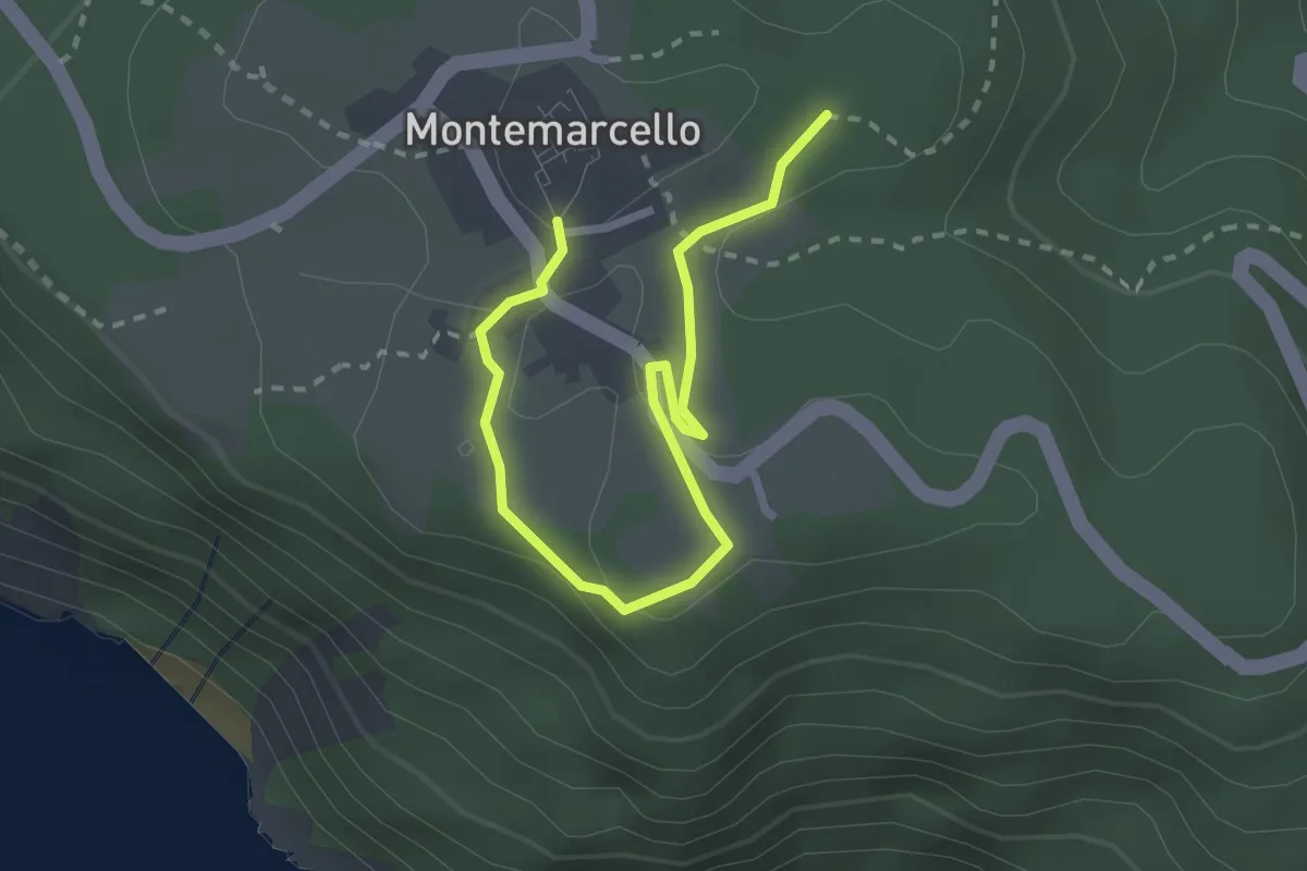
Easy · Trail
Bivio 436 - M. Marana
3.2 km · ↑ 50 m · 51 min · 9 km away
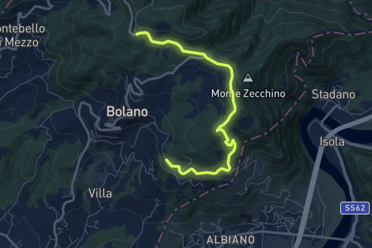
Easy · Trail
Bivio AVML - Tirolo - Case Solegnana - Case Cavanon - Bagatello
7.4 km · ↑ 297 m · 2 h 24 min · 9 km away
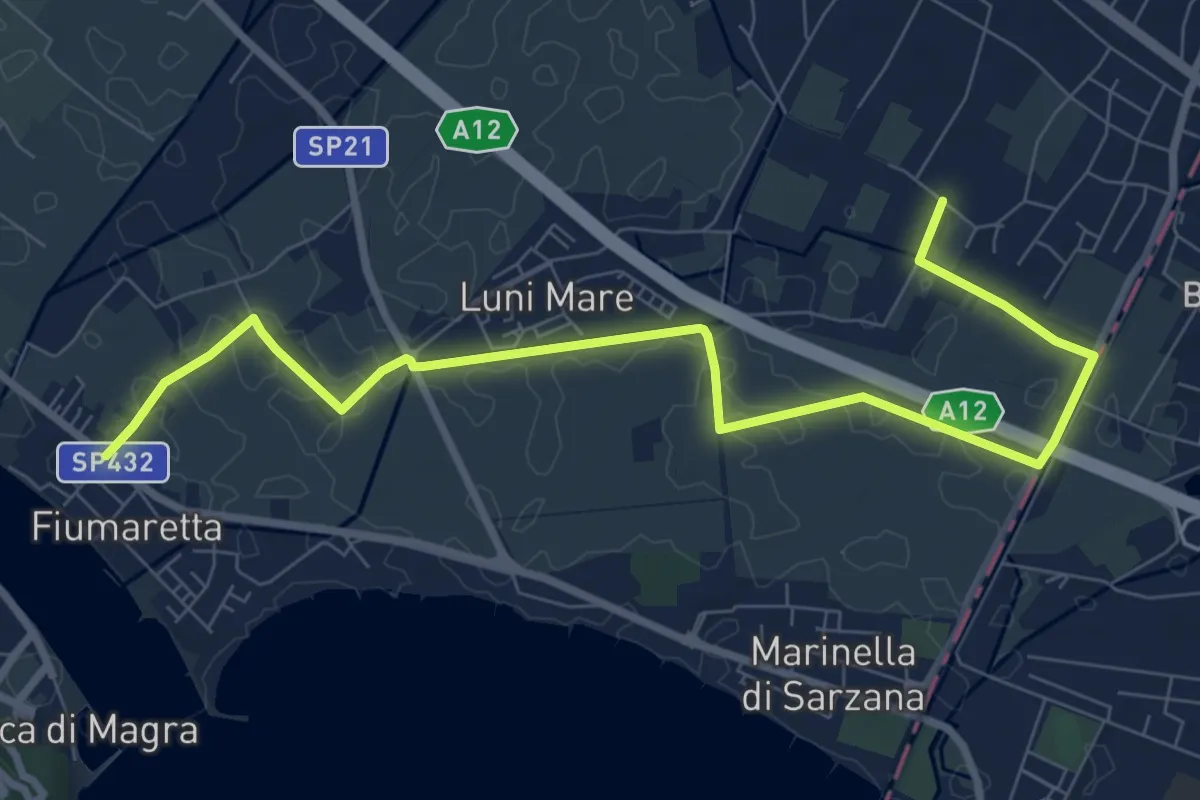
Medium · Trail
Fiumaretta – Anfiteatro Di Luni
10.2 km · ↑ 0 m · 2 h 25 min · 9 km away
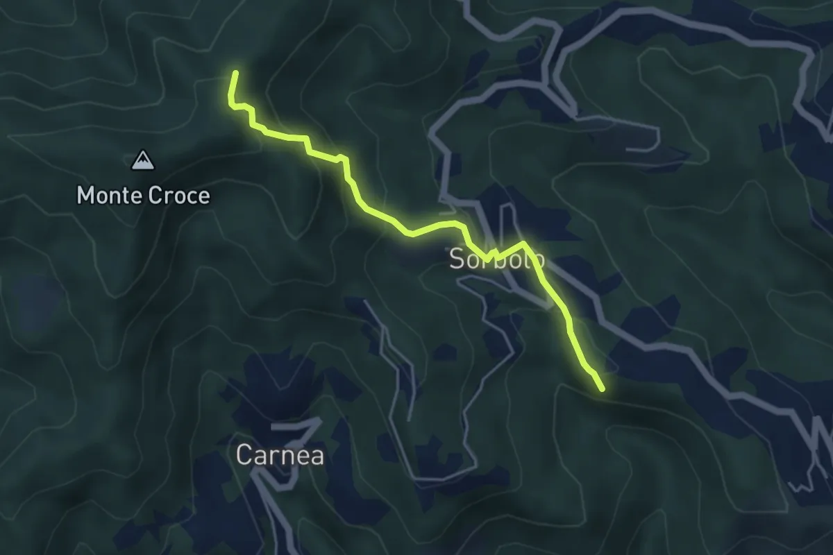
Easy · Summit
Bastremoli – Sella del Monte Croce
4.2 km · ↑ 298 m · 1 h 38 min · 9 km away
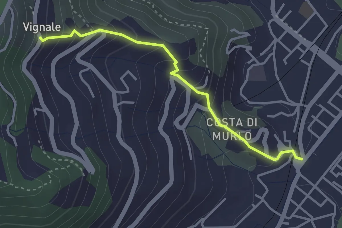
Easy · Trail
Pegazzano – Scalinata Costellino – Vignale
2.9 km · ↑ 284 m · 1 h 19 min · 9 km away
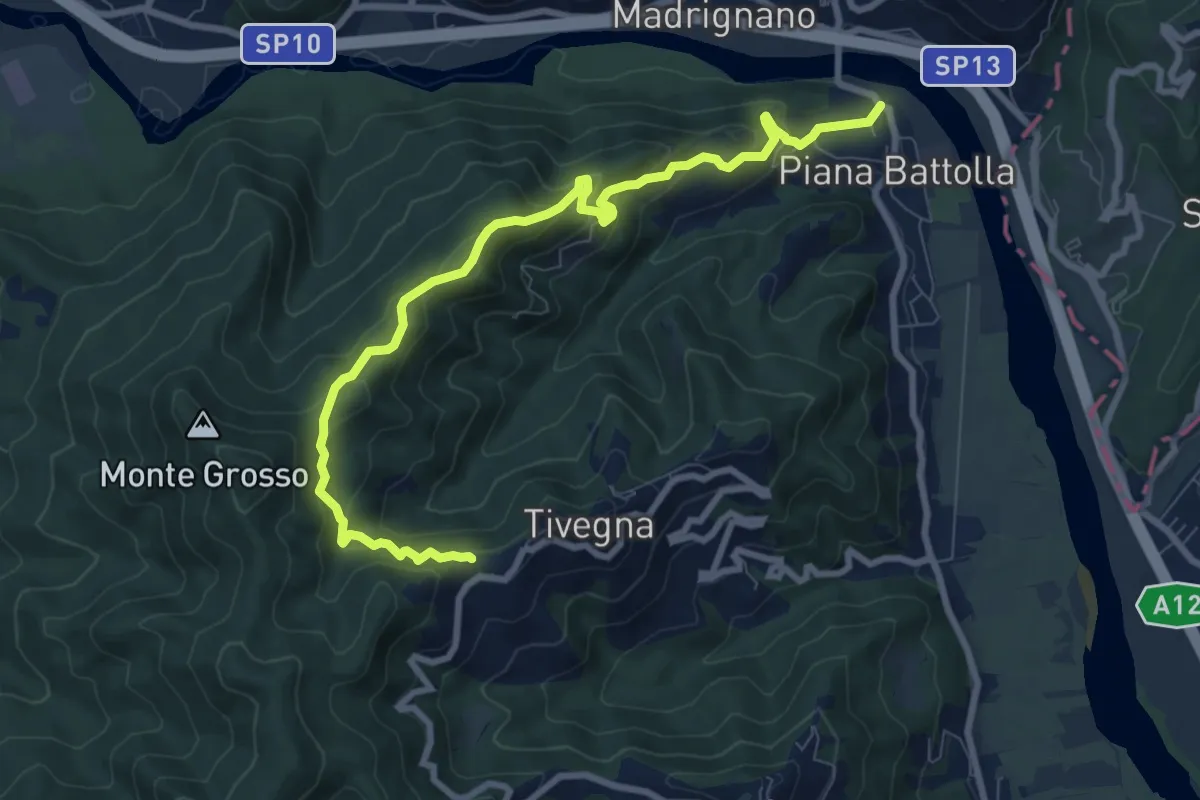
Expert · Trail
Piana Battolla - Torenco – Monte Lama Ebreo
9.9 km · ↑ 618 m · 3 h 41 min · 9 km away
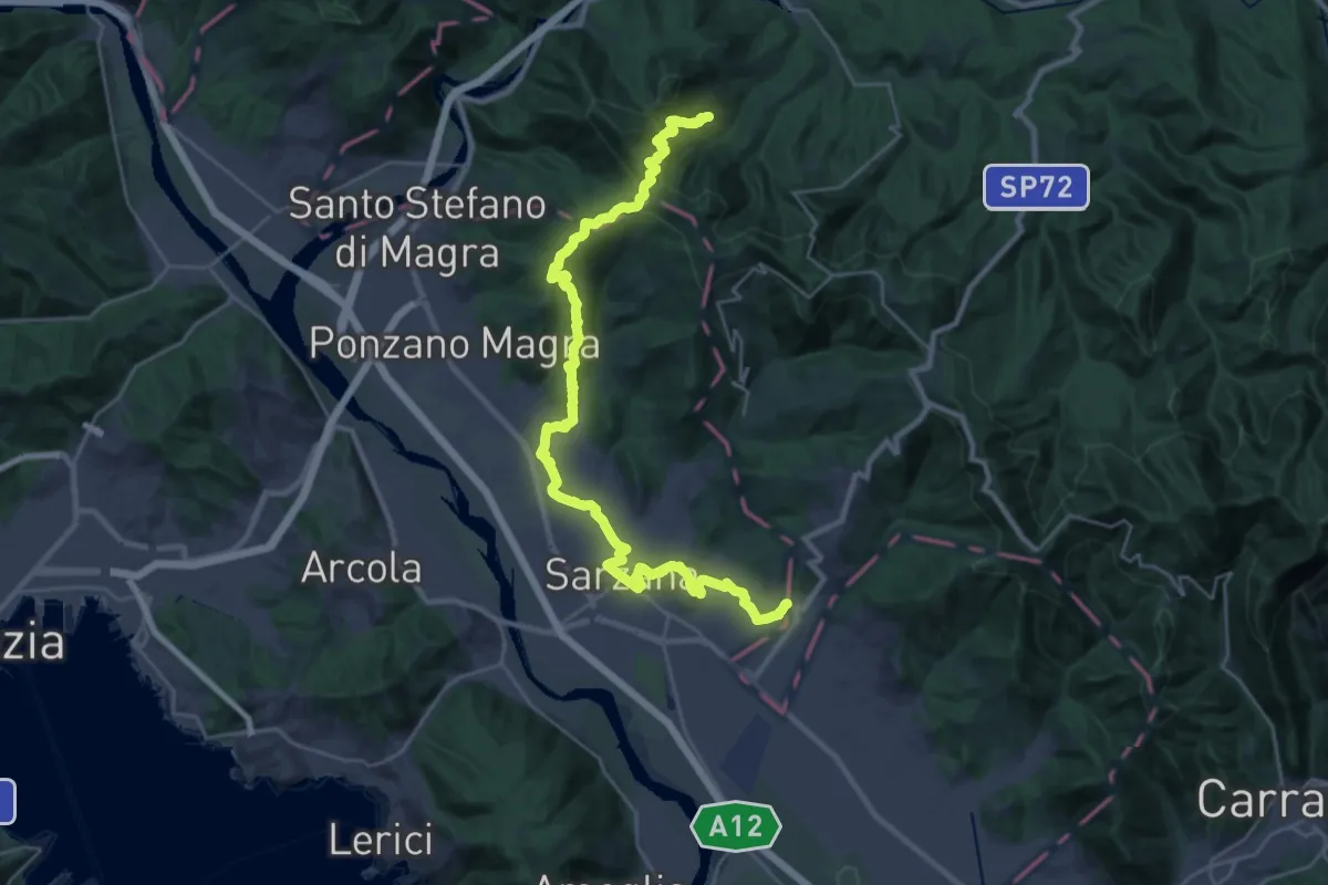
Demanding · Pilgrim path
Via Francigena - 05 Liguria
16.9 km · ↑ 476 m · 5 h 22 min · 9 km away
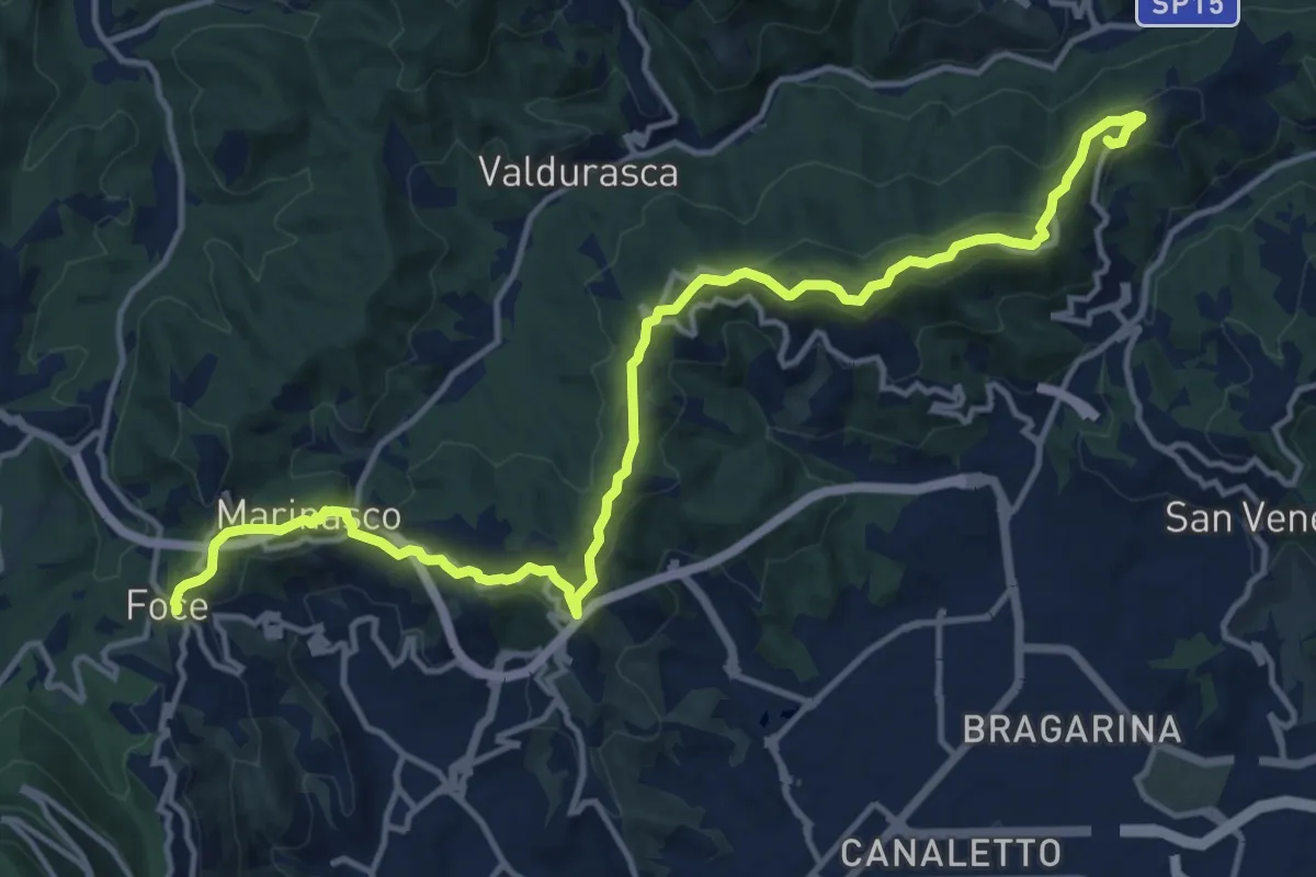
Medium · Summit
Alta Via del Golfo: Il Termo - La Foce
17.1 km · ↑ 574 m · 5 h 16 min · 9 km away
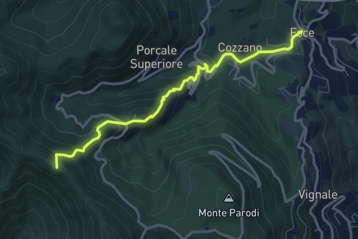
Medium · Summit
Sentiero 501 - Riomaggiore – Sella La Croce – Carpena – La Foce
7.1 km · ↑ 457 m · 2 h 40 min · 10 km away
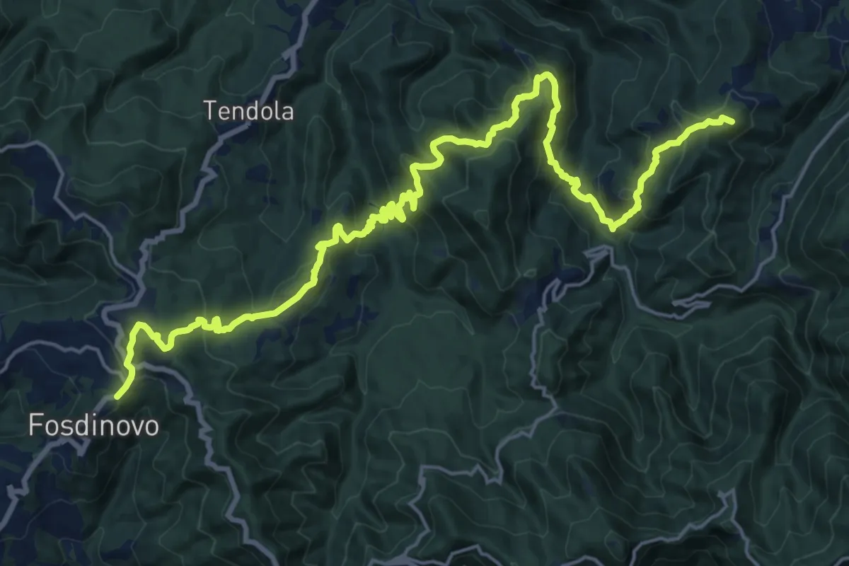
Demanding · Summit
Trekking Lunigiana 12
24.6 km · ↑ 1378 m · 8 h 48 min · 10 km away
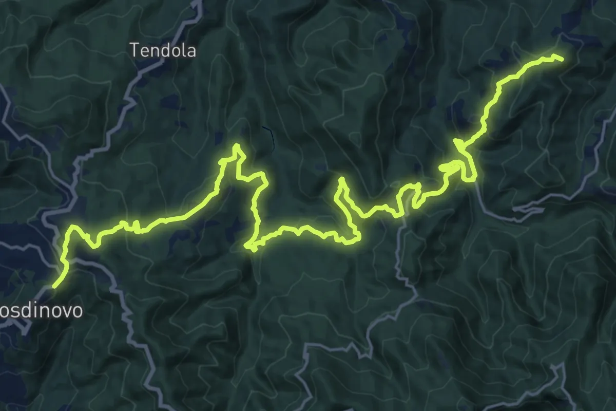
Demanding · Summit
Sentiero dei Ducati Tappa 11
28.7 km · ↑ 1420 m · 9 h 51 min · 10 km away
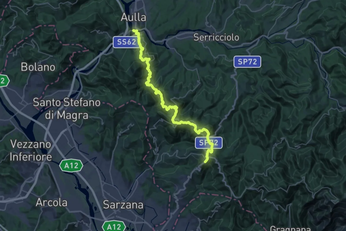
Demanding · Trail
Trekking Lunigiana 13
15.3 km · ↑ 597 m · 5 h 19 min · 10 km away
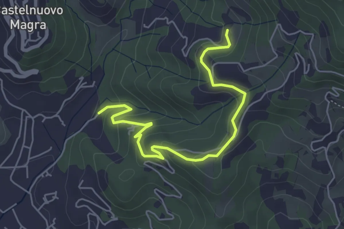
Easy · Trail
Bivio Molino Dogliotti - Marciano
5.4 km · ↑ 211 m · 1 h 44 min · 10 km away
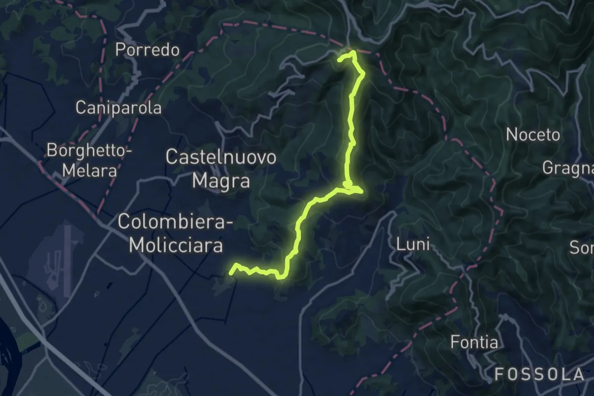
Medium · Trail
Coll. VF - Olmarello - Sarticola – Monticello – C. Bertella
12.1 km · ↑ 625 m · 4 h 13 min · 10 km away
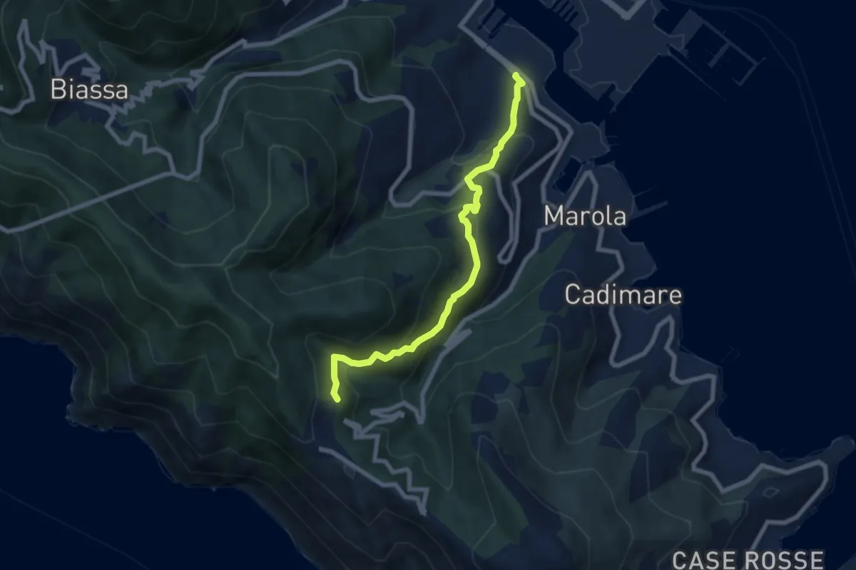
Demanding · Trail
Fabiano – Campiglia
6.8 km · ↑ 493 m · 2 h 40 min · 10 km away
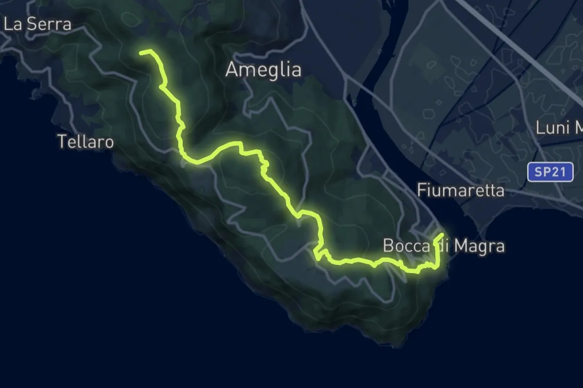
Medium · Summit
Alta Via del Golfo: Bocca di Magra - Il Termo
13.9 km · ↑ 762 m · 4 h 56 min · 10 km away
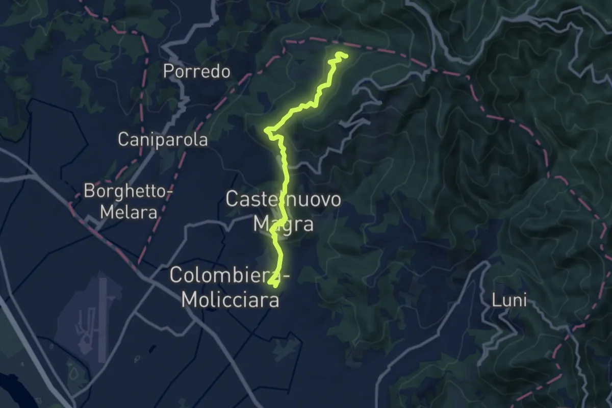
Medium · Trail
M.no del Piano - Castelnuovo Magra - Casala
9.1 km · ↑ 572 m · 3 h 23 min · 10 km away
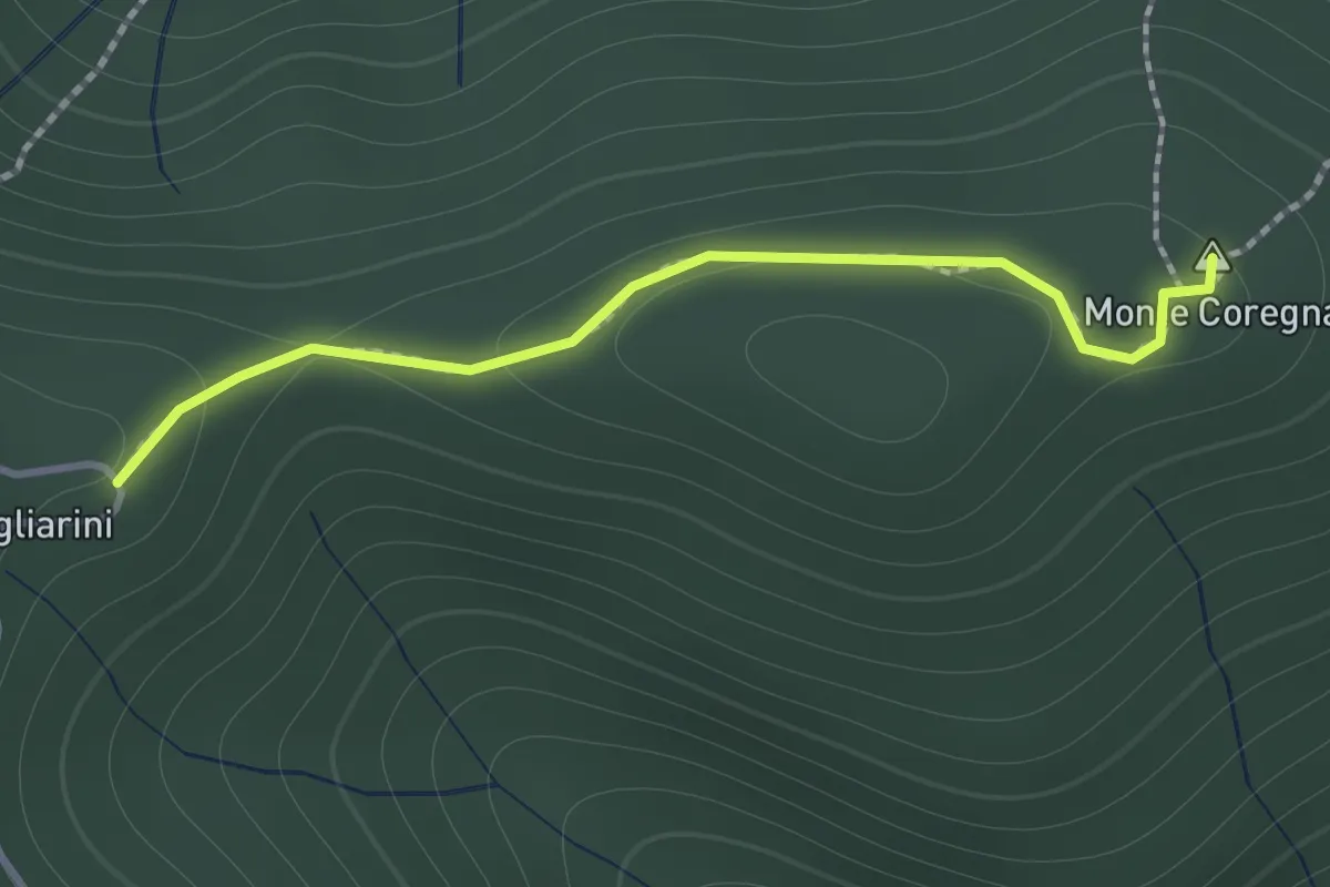
Expert · Summit
Coregna -P.ta Coregna – Sella Scogliarini
1.3 km · ↑ 49 m · 25 min · 10 km away
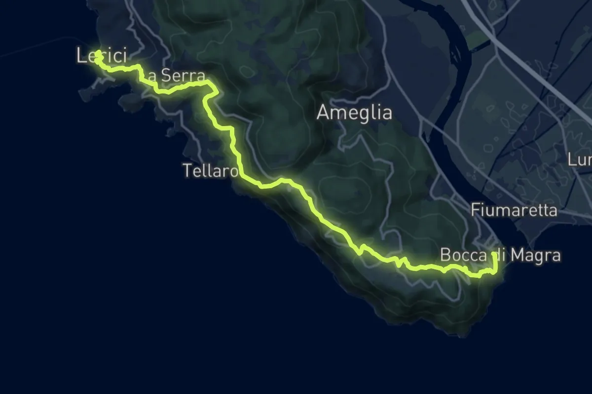
Demanding · Trail
Sentiero Liguria - Tappa 1
19.1 km · ↑ 933 m · 6 h 33 min · 10 km away
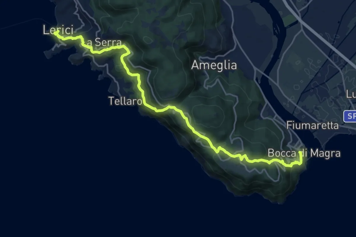
Demanding · Trail
Bocca di Magra – Lerici
18.9 km · ↑ 924 m · 6 h 28 min · 10 km away
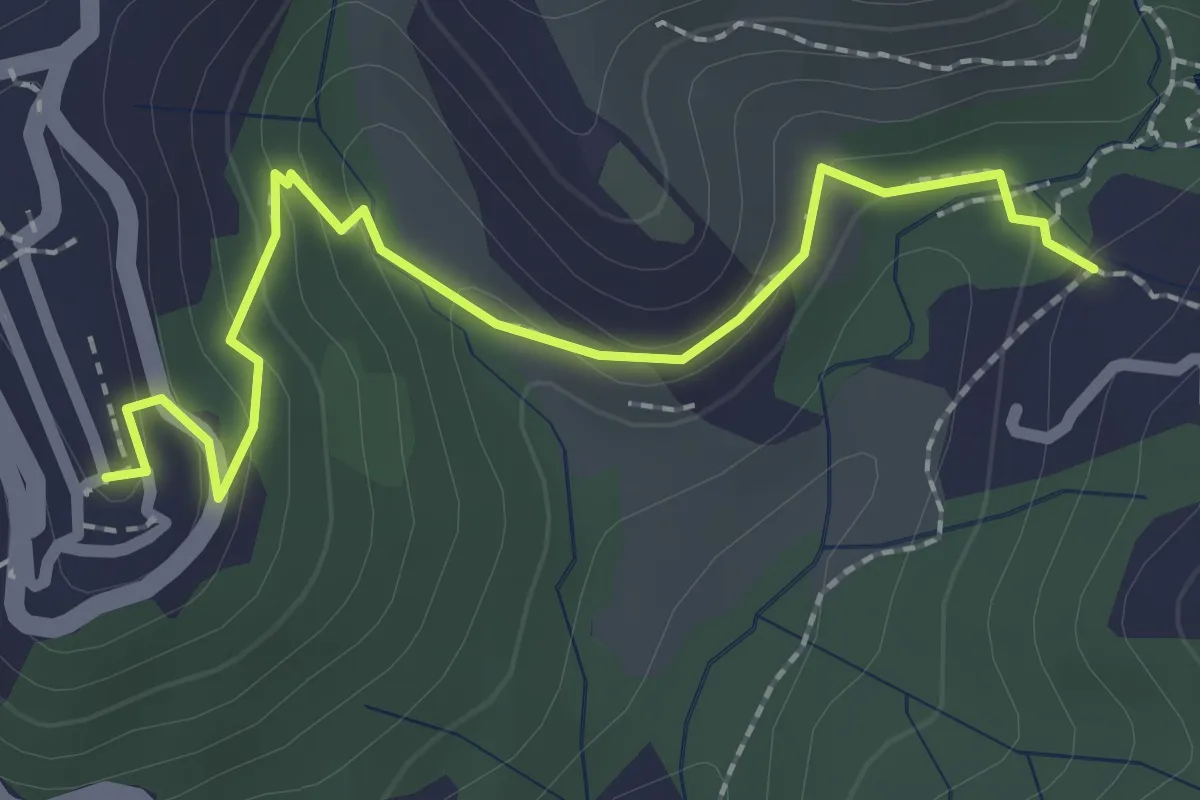
Easy · Trail
Sentiero 301 – Sentiero 302
2.6 km · ↑ 109 m · 50 min · 10 km away
Easy · Trail
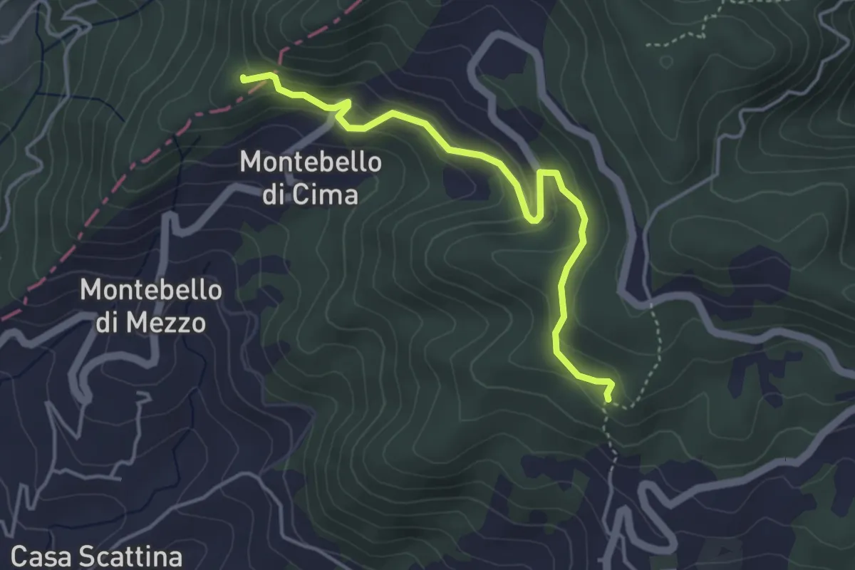
Carbonara - Bagatello – Montebello di Cima
4.2 km · ↑ 231 m · 1 h 29 min · 10 km away
Easy · Trail
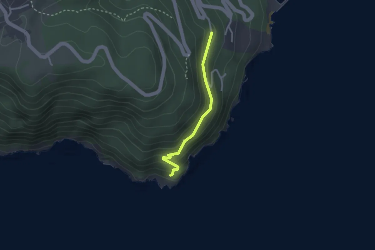
Punta Bianca – Carmelitane scalze
2.2 km · ↑ 170 m · 53 min · 10 km away
Expert · Trail
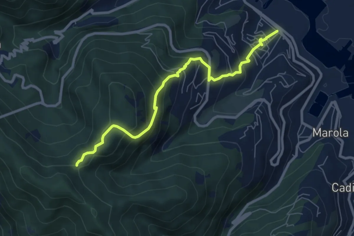
Fabiano – Mad.na dell'Olmo – Cà Pilloa – Sella Gesuela
6.6 km · ↑ 553 m · 2 h 46 min · 10 km away
Easy · Trail
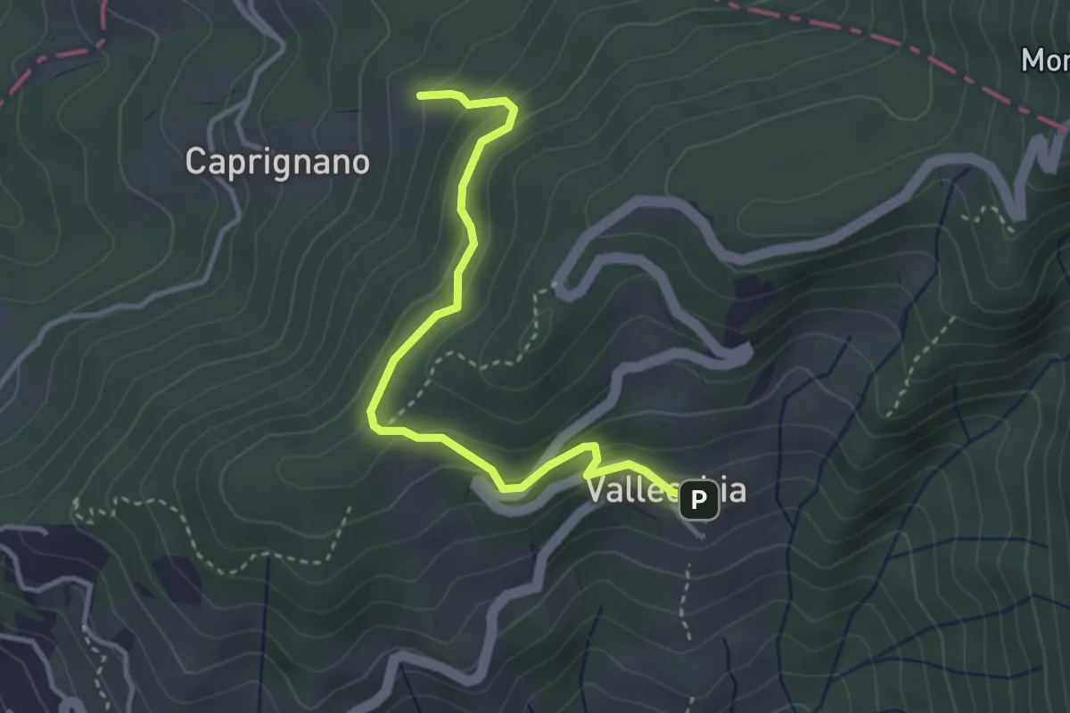
Vallecchia – M. Doglio - Il Tofo
3.5 km · ↑ 180 m · 1 h 14 min · 10 km away
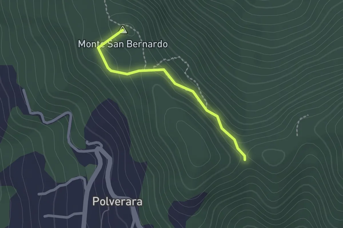
Medium · Summit
Costa di S.Bernardo – Sella del M. Grosso
1.8 km · ↑ 66 m · 33 min · 10 km away
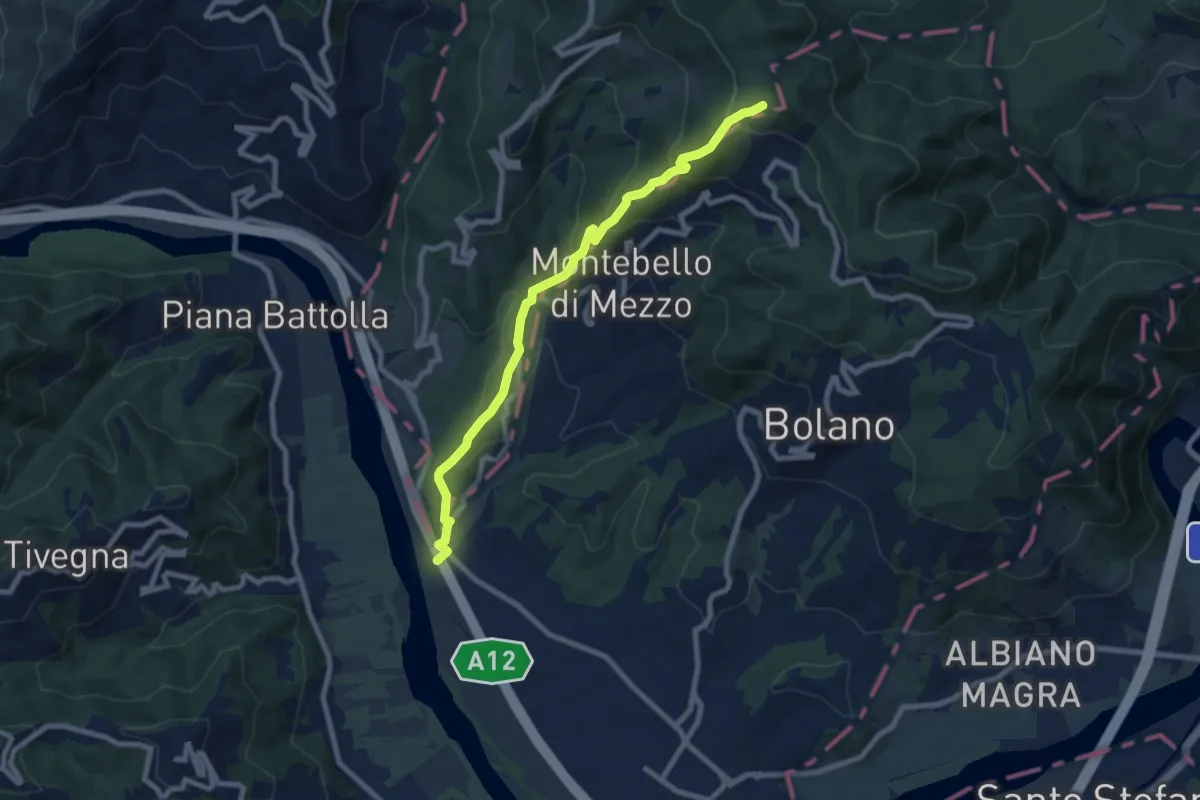
Medium · Trail
Ospedaletto – Monte Grosso
8.3 km · ↑ 516 m · 3 h 5 min · 10 km away
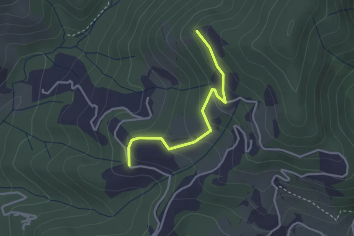
Easy · Trail
Santa Rosa (Percorso 308) – Orbagnano di Sopra
2.5 km · ↑ 130 m · 52 min · 10 km away
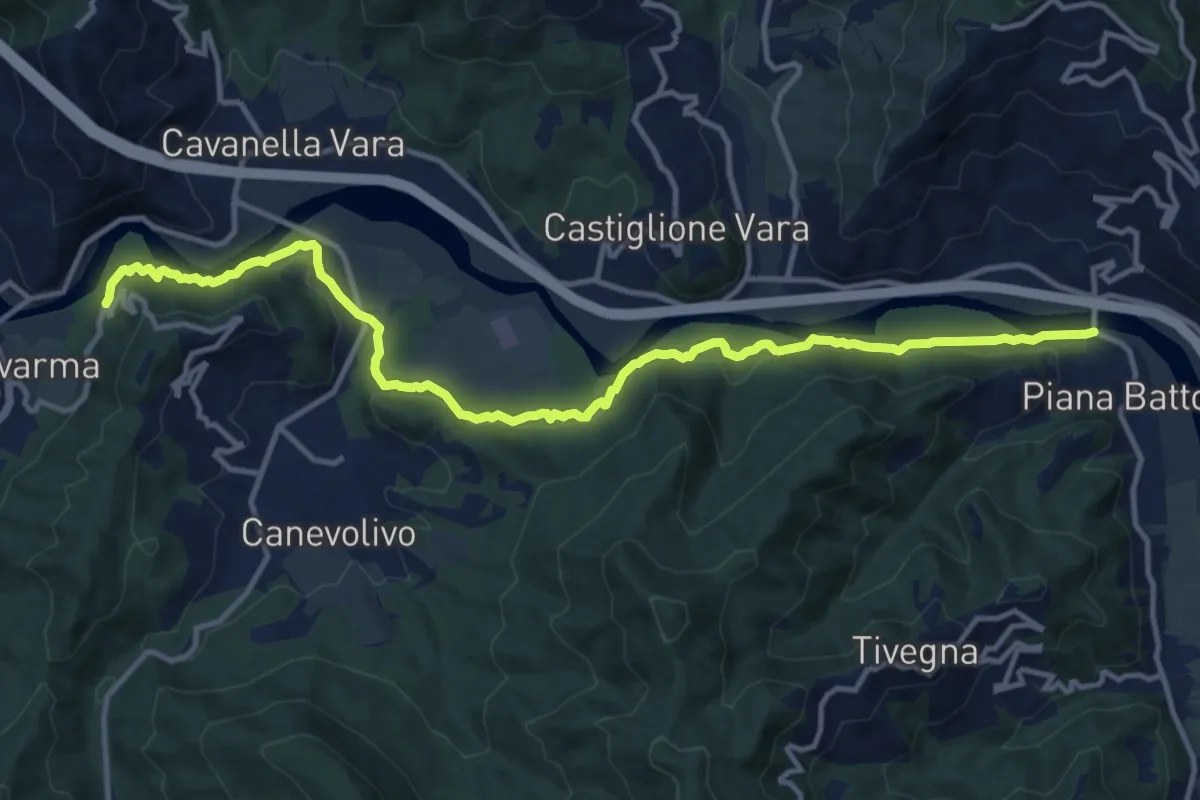
Medium · Trail
Strada dei Tedeschi
14.7 km · ↑ 401 m · 4 h 20 min · 10 km away
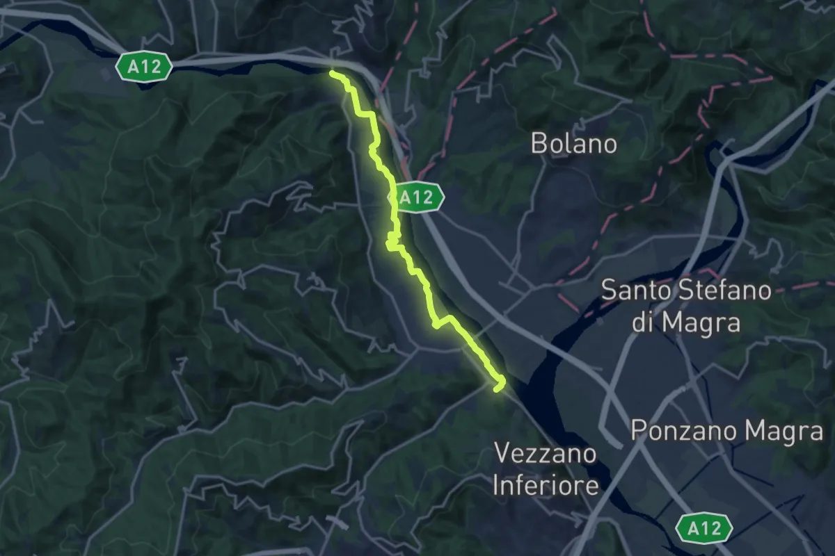
Medium · Trail
Bottagna – Piana Battolla
13.9 km · ↑ 31 m · 3 h 22 min · 10 km away
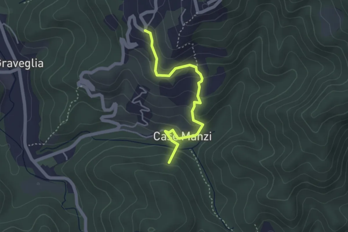
Easy · Summit
Passo di Ri - Case Ri - Polverara
3.5 km · ↑ 229 m · 1 h 19 min · 10 km away
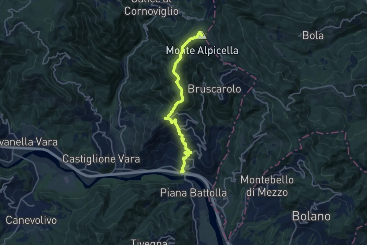
Demanding · Summit
Piano di Madrignano - Madrignano - Foce Carzachi - Alpicella
12.6 km · ↑ 855 m · 4 h 49 min · 11 km away
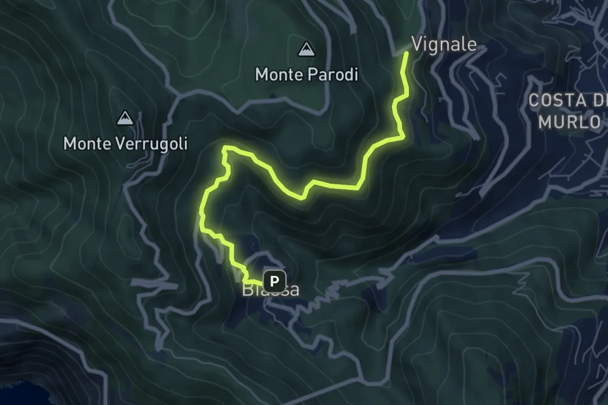
Medium · Trail
Bersedo – Biassa
7.0 km · ↑ 398 m · 2 h 30 min · 11 km away
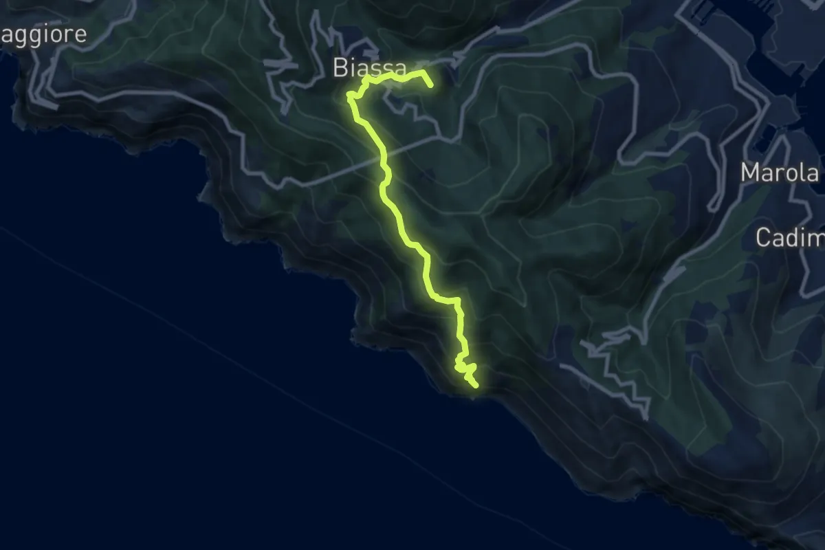
Medium · Summit
Pegazzano – Biassa – S.Antonio – Schiara
8.4 km · ↑ 746 m · 3 h 36 min · 11 km away
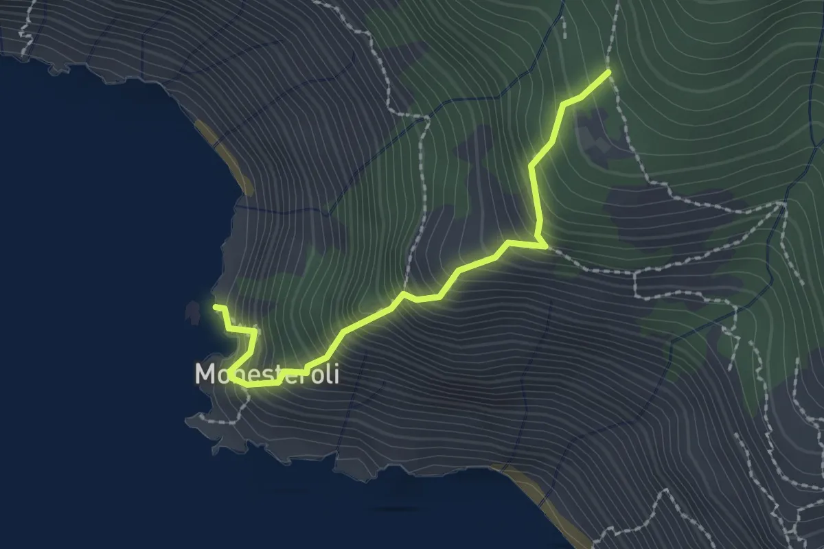
Medium · Trail
Scalinata Monesteroli
2.1 km · ↑ 434 m · 1 h 27 min · 11 km away
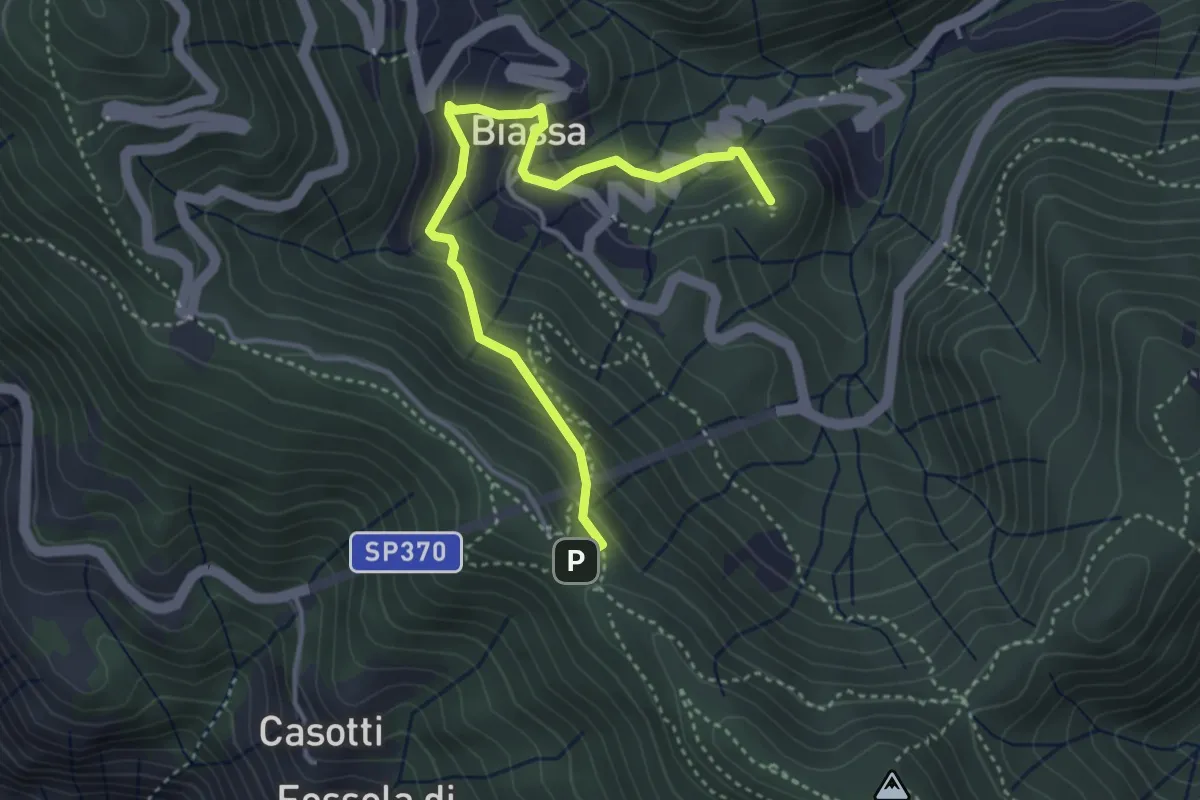
Medium · Summit
Sentiero Liguria - Tappa 3 - variante
4.3 km · ↑ 332 m · 1 h 44 min · 11 km away
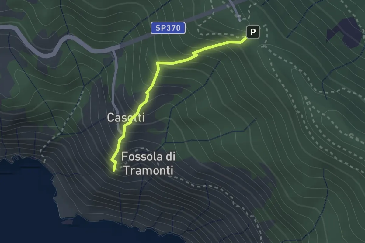
Easy · Trail
Sant'Antonio – Fossola
2.0 km · ↑ 315 m · 1 h 9 min · 11 km away
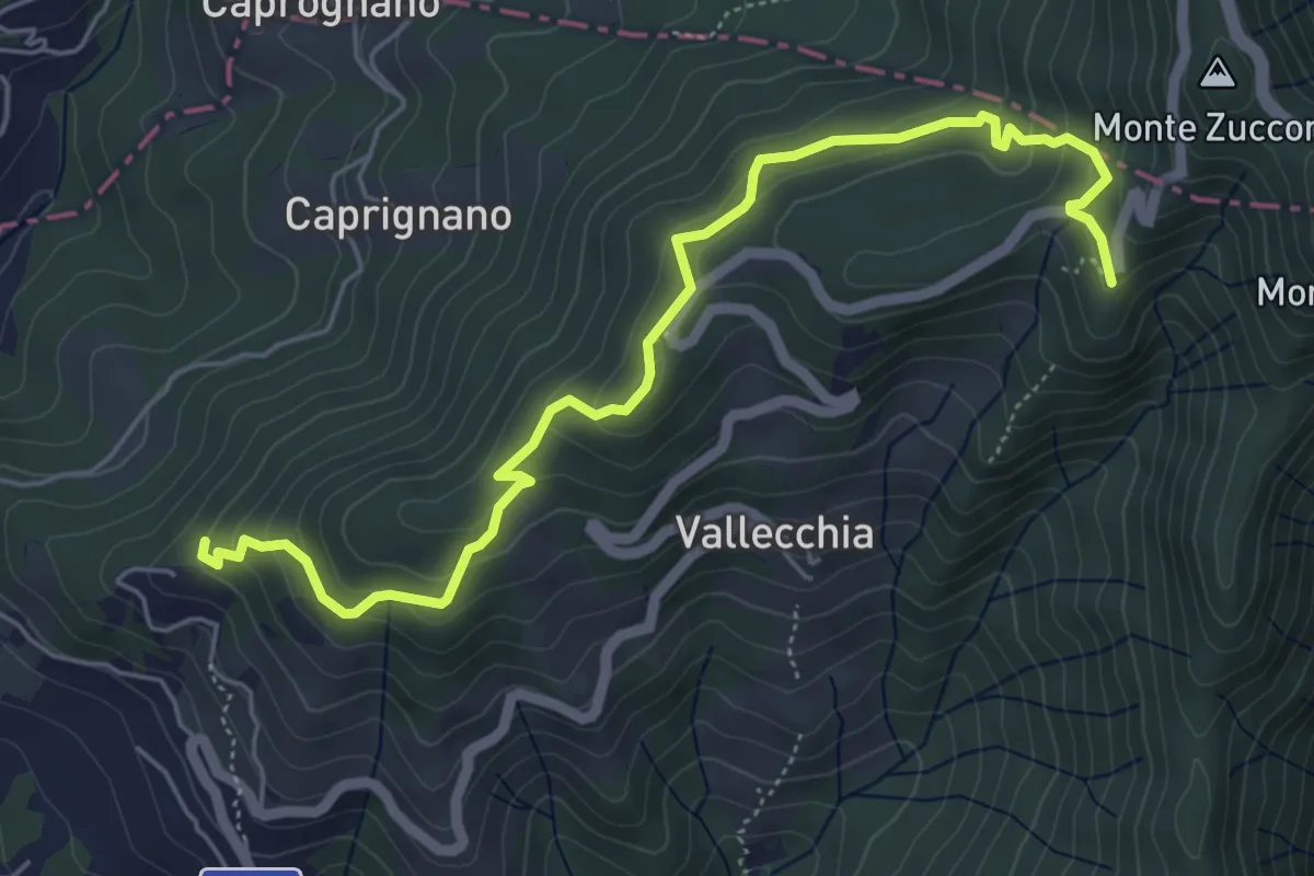
Medium · Trail
Monte Doglio – Case Bertella
6.4 km · ↑ 363 m · 2 h 18 min · 11 km away
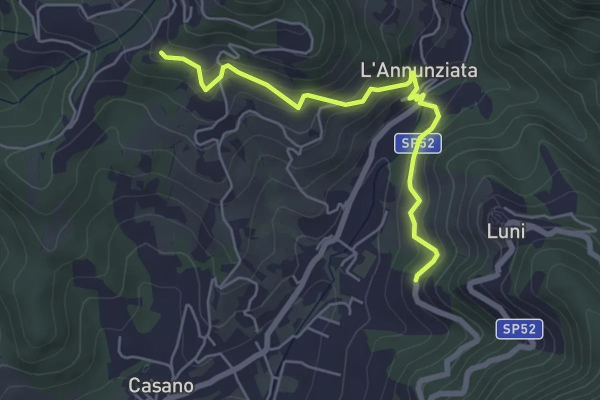
Easy · Trail
Santa Maria – Noceto
4.7 km · ↑ 307 m · 1 h 46 min · 11 km away
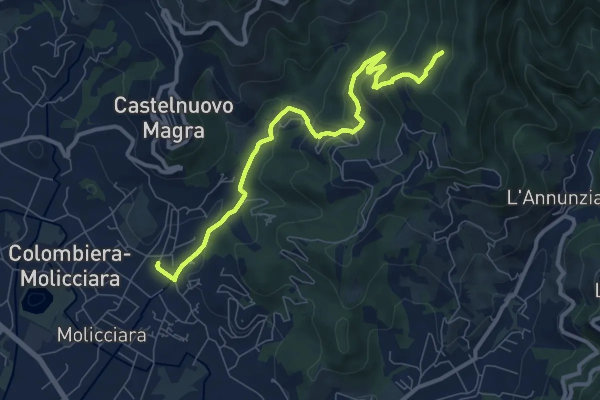
Medium · Trail
Molino del Piano – Vallecchia
7.9 km · ↑ 388 m · 2 h 43 min · 11 km away
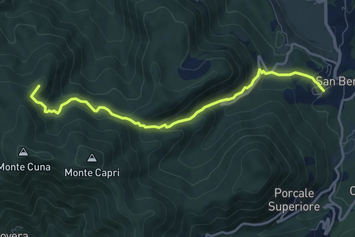
Demanding · Summit
San Benedetto – Aia del Cane
7.9 km · ↑ 506 m · 2 h 58 min · 11 km away
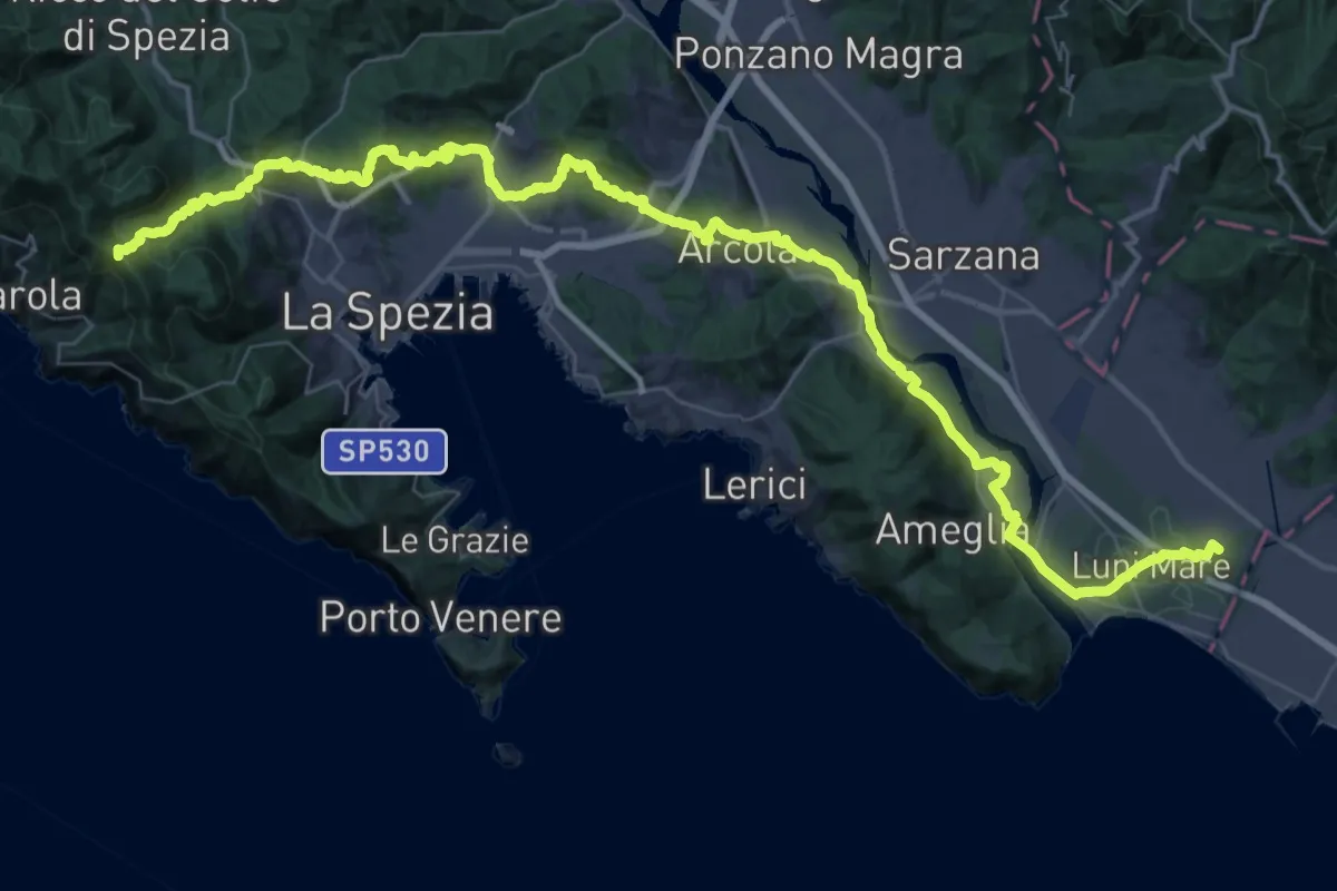
Expert · Summit
Via della Costa - Tappa 12
65.8 km · ↑ 1657 m · 19 h 7 min · 11 km away
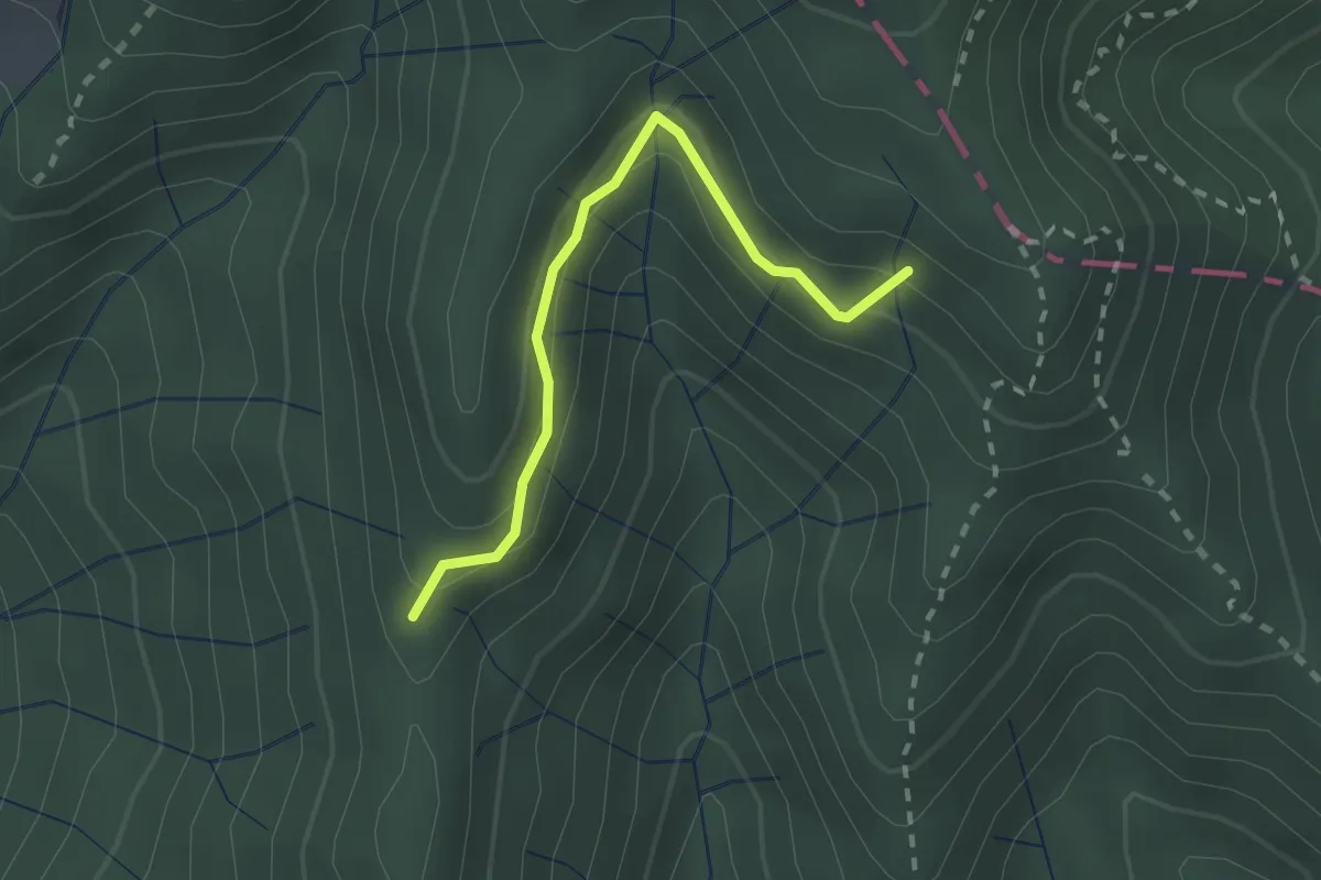
Easy · Trail
Percorso 373 – Percorso 304
2.2 km · ↑ 131 m · 48 min · 11 km away
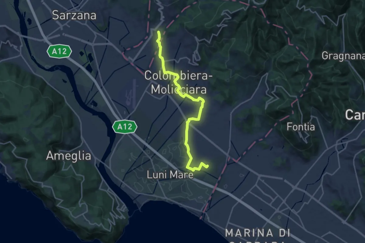
Medium · Trail
Sentiero dei Ducati Variante Luni
16.3 km · ↑ 61 m · 3 h 59 min · 11 km away
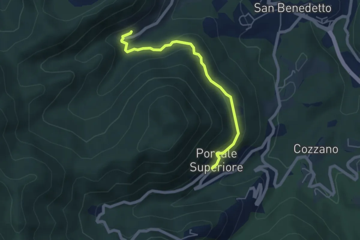
Medium · Trail
Quaratica – Porcale Superiore
4.2 km · ↑ 167 m · 1 h 22 min · 11 km away