Trails near Arcola
211 hikes starting within 15 km, nearest first.
Nearest first, page 4 of 5
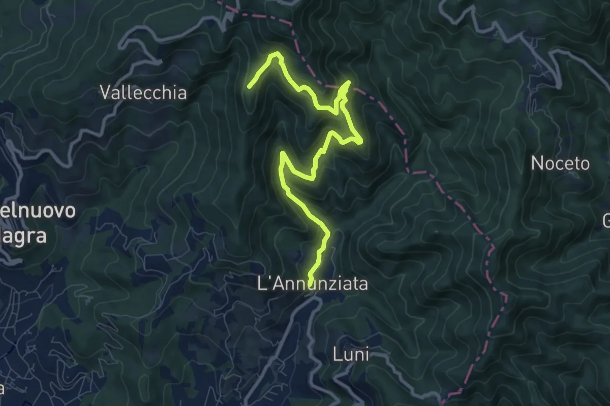
Medium · Trail
Percorso 364 - Località Annunziata – Percorso 304
9.3 km · ↑ 643 m · 3 h 36 min · 11 km away
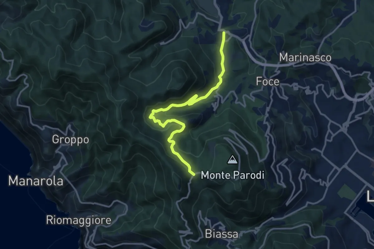
Medium · Trail
S.Benedetto – Porcale -Codeglia – Carpena – Sella di Carpena
11.4 km · ↑ 523 m · 3 h 50 min · 11 km away
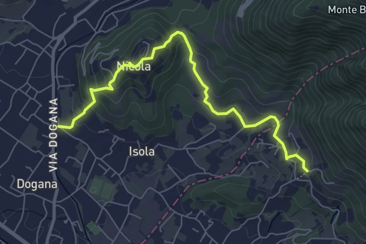
Easy · Trail
Isola – Fossola
6.3 km · ↑ 287 m · 2 h 6 min · 11 km away
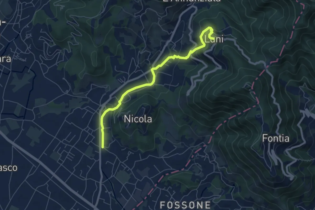
Easy · Trail
Isola - Lungo Parmignola - Ortonovo
6.6 km · ↑ 264 m · 2 h 8 min · 11 km away
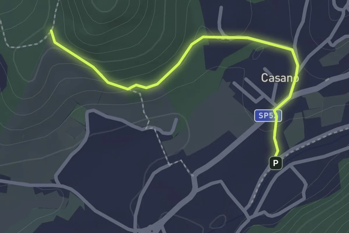
Easy · Trail
Serravalle – Monte dei Frati
2.2 km · ↑ 63 m · 40 min · 11 km away
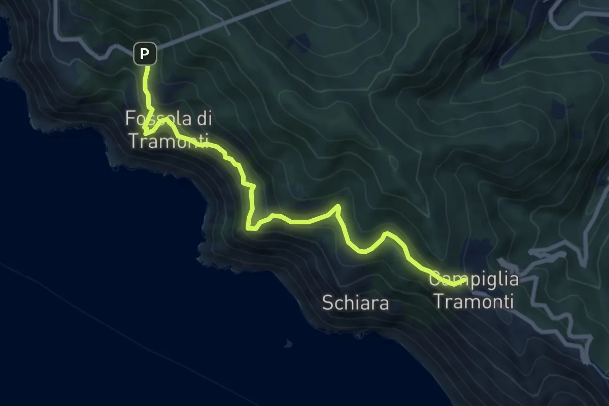
Medium · Trail
Campiglia - Fossola - S.P. 370 Litoranea
7.2 km · ↑ 626 m · 3 h 4 min · 11 km away
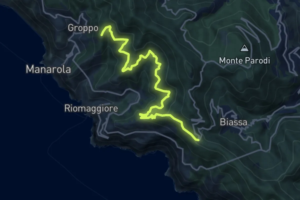
Demanding · Summit
Telegrafo – Volastra (Strada dei Santuari)
13.5 km · ↑ 1102 m · 5 h 34 min · 11 km away
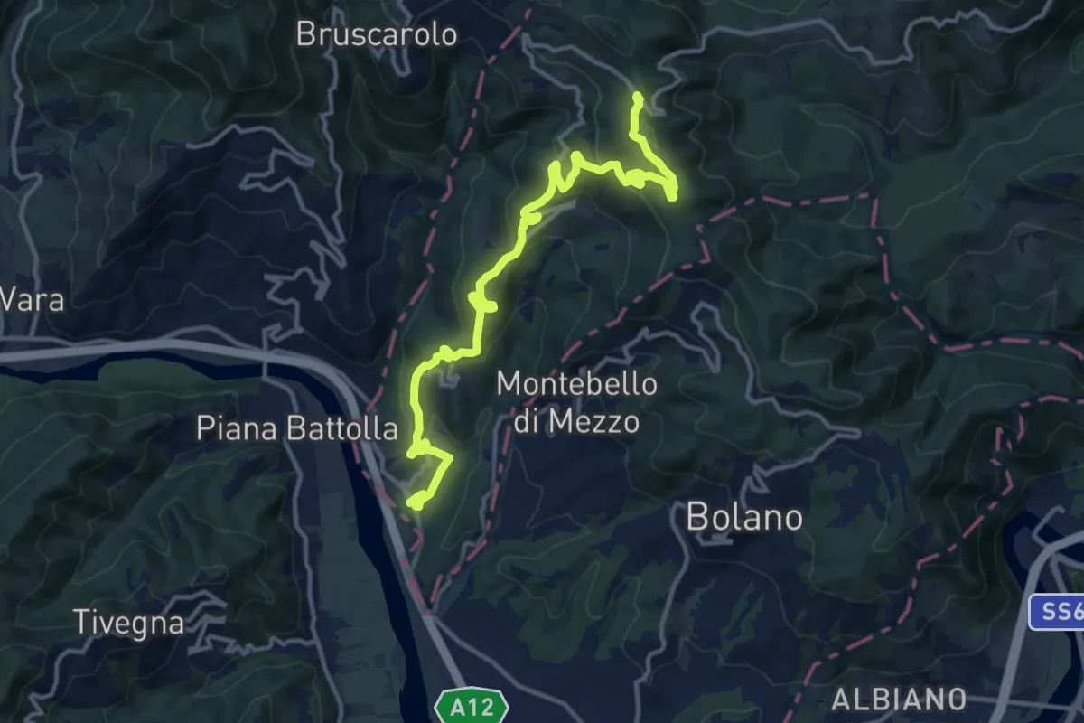
Medium · Trail
Via Marchesana (Variante Montedivalli)
15.0 km · ↑ 626 m · 4 h 53 min · 11 km away
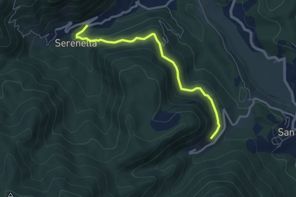
Medium · Trail
Serenella - M.na dell'Agostina – Quaratica
5.7 km · ↑ 251 m · 1 h 53 min · 12 km away
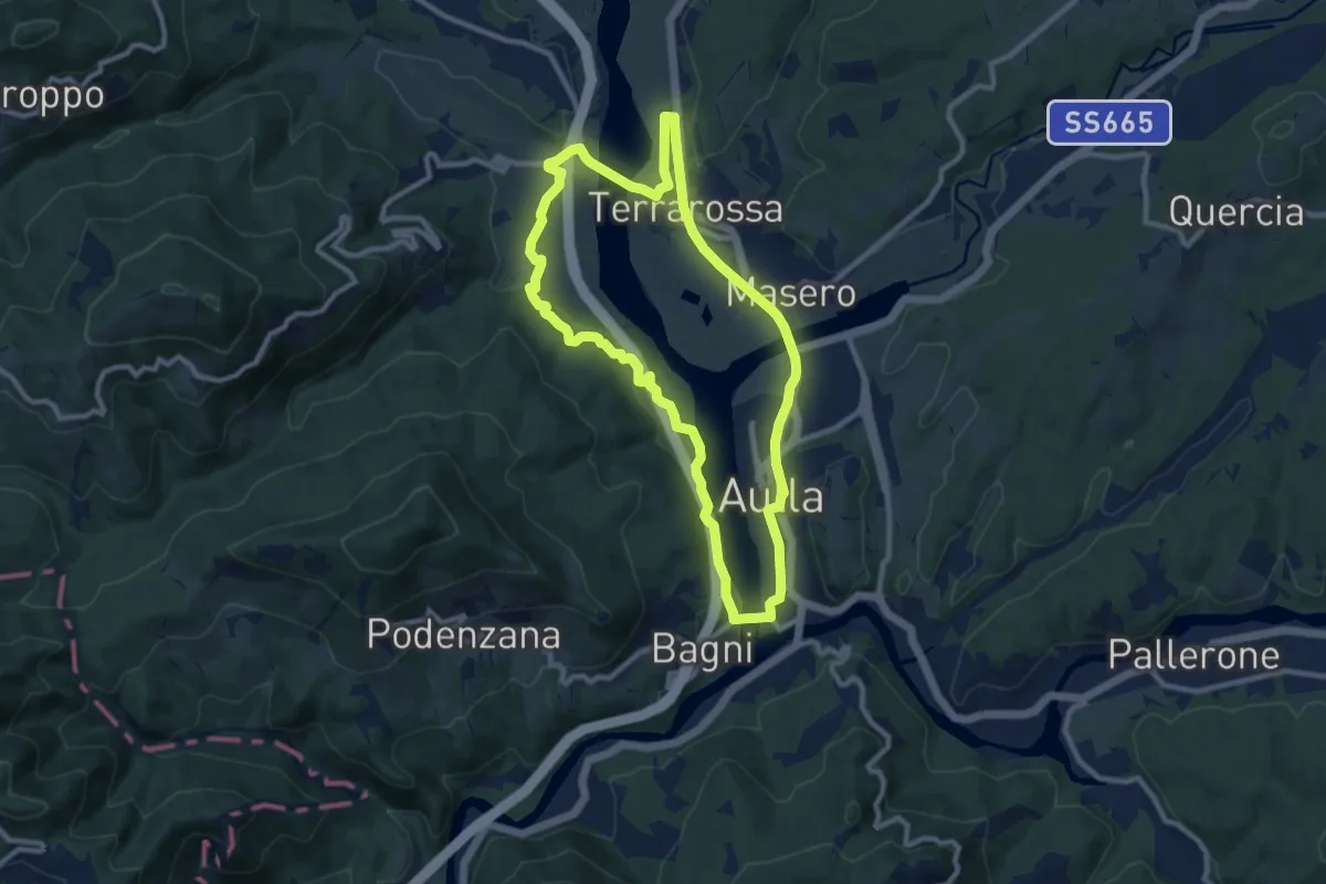
Medium · Trail
Greenway Fiume Magra
9.7 km · ↑ 134 m · 2 h 43 min · 12 km away
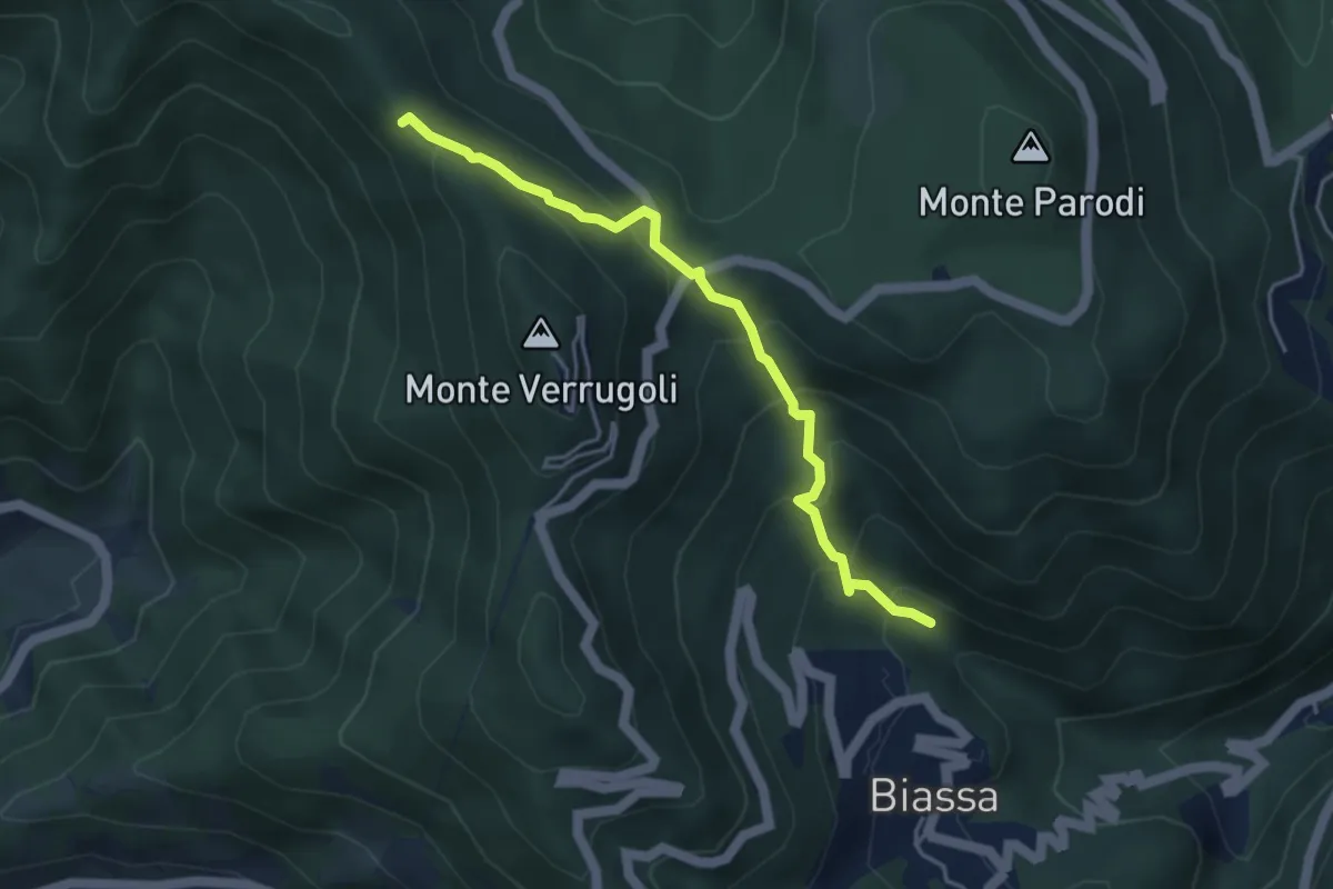
Medium · Trail
Fosso di Piazza – Appulso
4.2 km · ↑ 346 m · 1 h 45 min · 12 km away
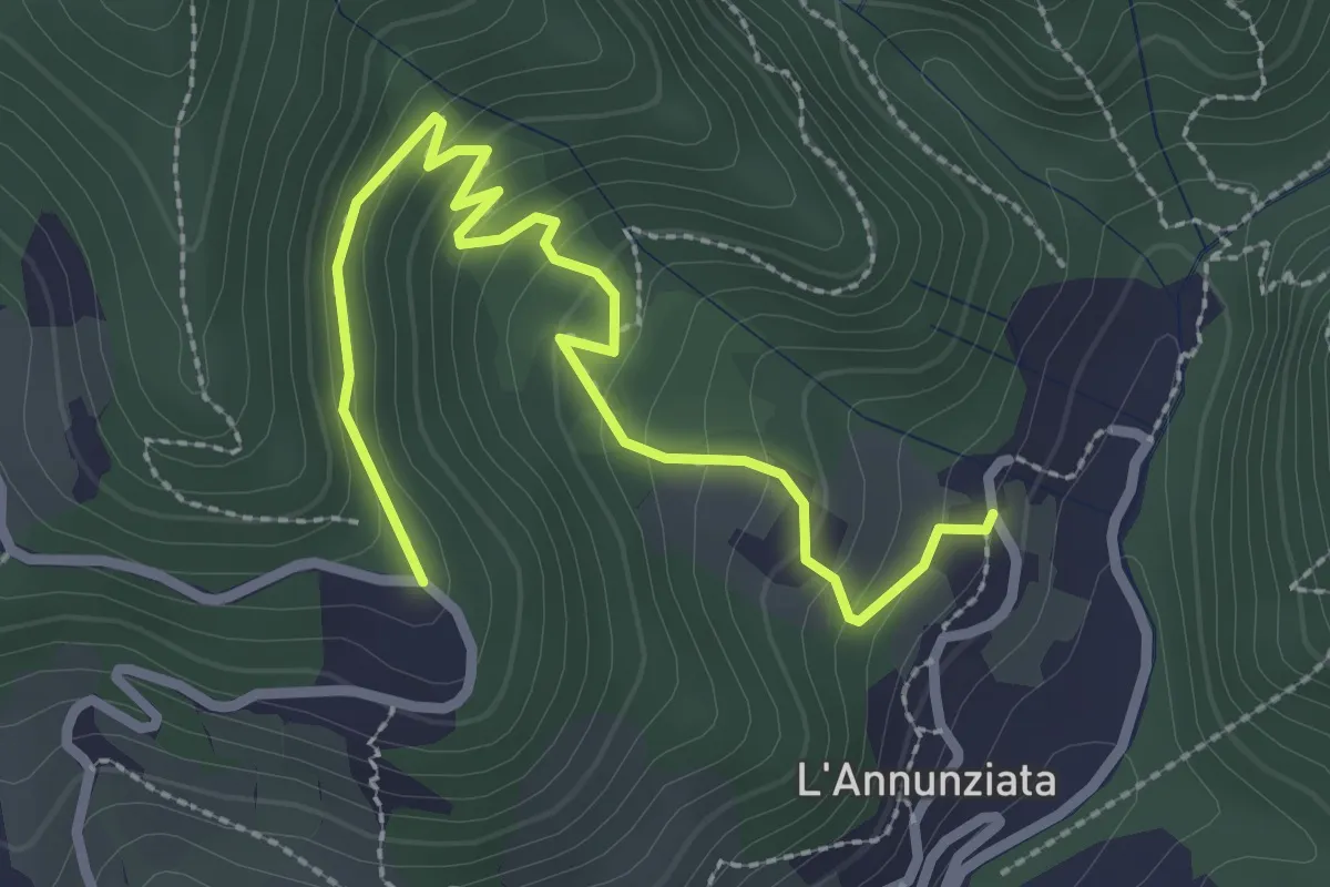
Easy · Trail
Percorso 373 – Percorso 304
3.2 km · ↑ 217 m · 1 h 14 min · 12 km away
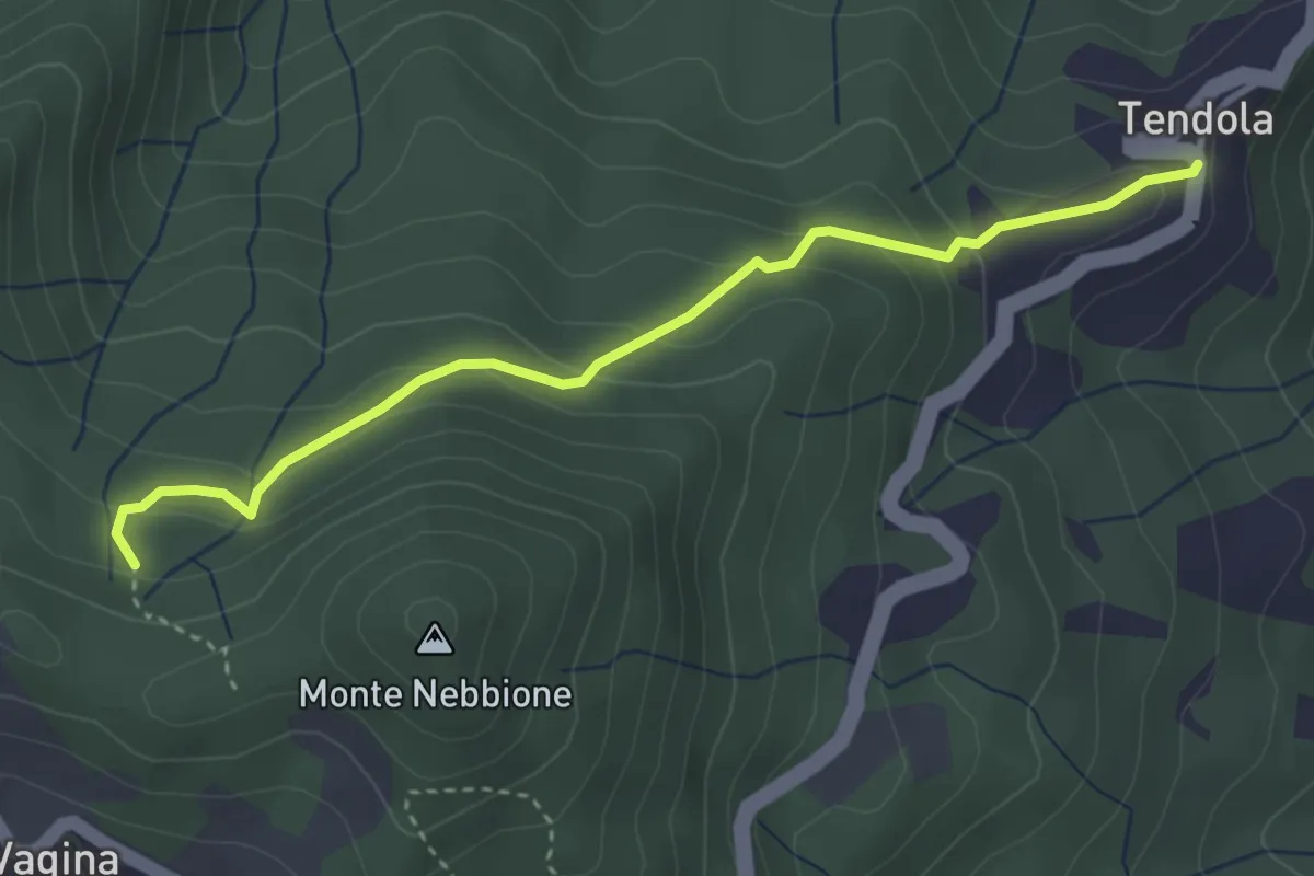
Easy · Trail
paese Tendola – Sentiero CAI 290
3.7 km · ↑ 221 m · 1 h 21 min · 12 km away
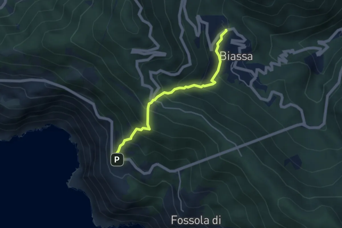
Medium · Trail
Biassa - Telegrafo – Campi - P.ta Pineda
3.8 km · ↑ 401 m · 1 h 46 min · 12 km away
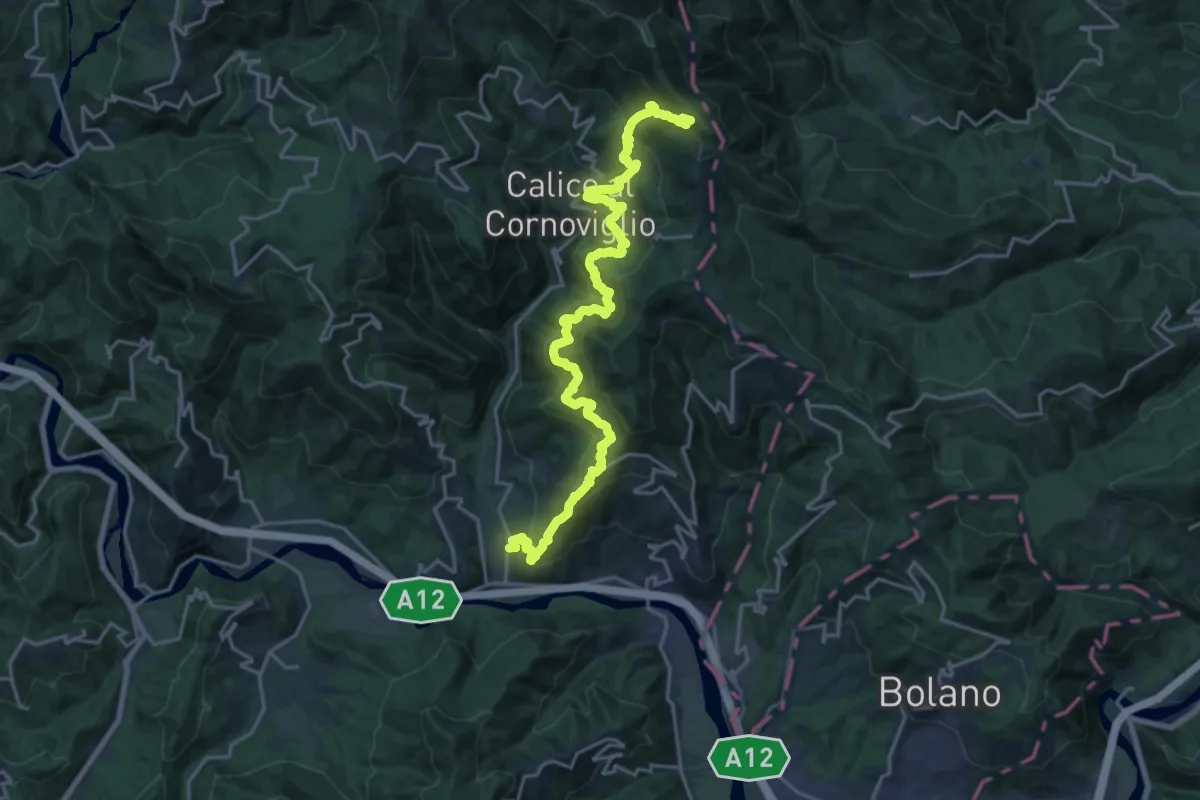
Demanding · Trail
La Pianaccia - Madrignano - Novegina di Cima - Nasso - Calice al Cornoviglio - Santa Maria - Le Cassorane - Bivio AVML
11.4 km · ↑ 1221 m · 5 h 7 min · 12 km away
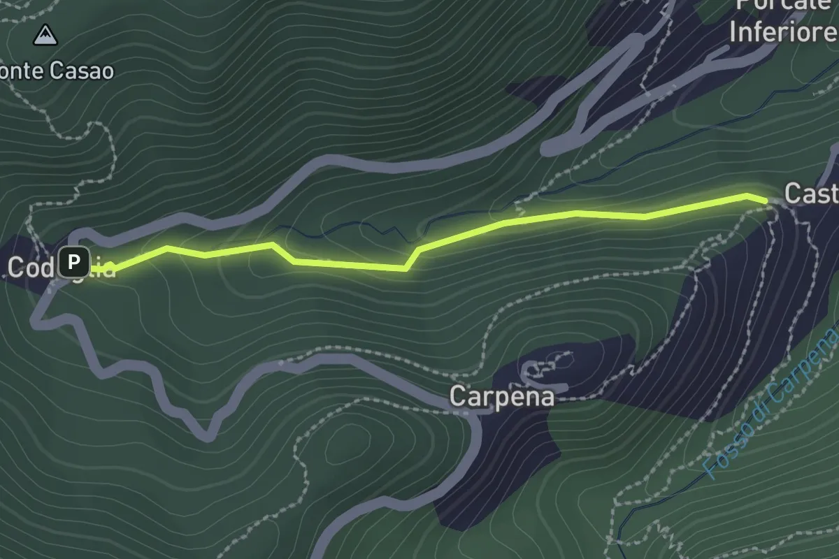
Easy · Trail
Castè – Codeglia
2.3 km · ↑ 104 m · 46 min · 12 km away
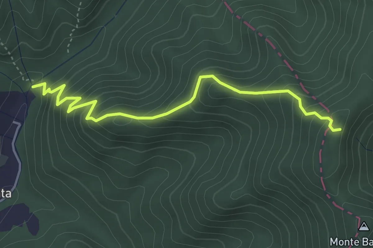
Medium · Trail
Molino del Lucco – Volpiglione
4.1 km · ↑ 419 m · 1 h 53 min · 12 km away
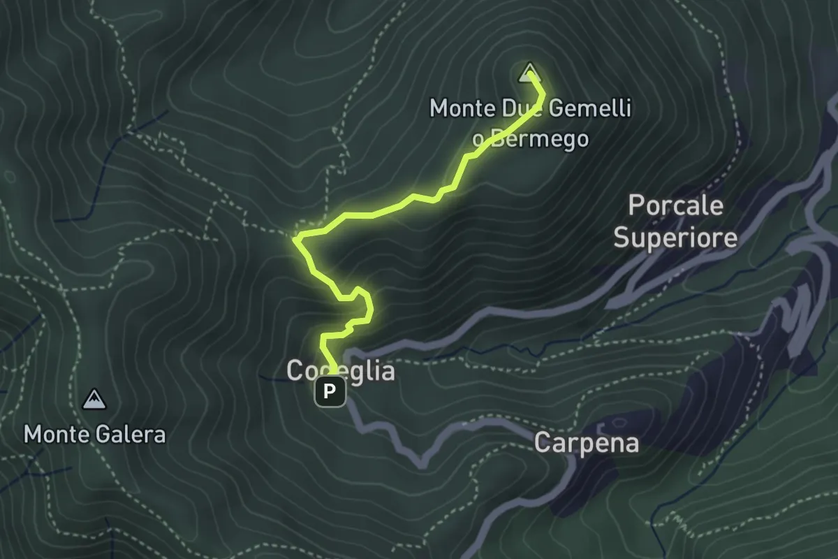
Medium · Summit
Codeglia – Sella Casao – M.Bermego
3.4 km · ↑ 216 m · 1 h 16 min · 12 km away
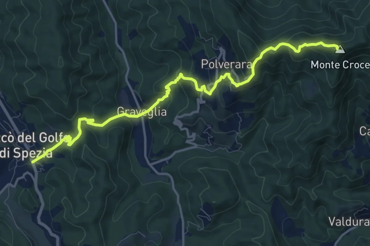
Demanding · Summit
Piana Battolla – Riccò
11.7 km · ↑ 651 m · 4 h 11 min · 12 km away
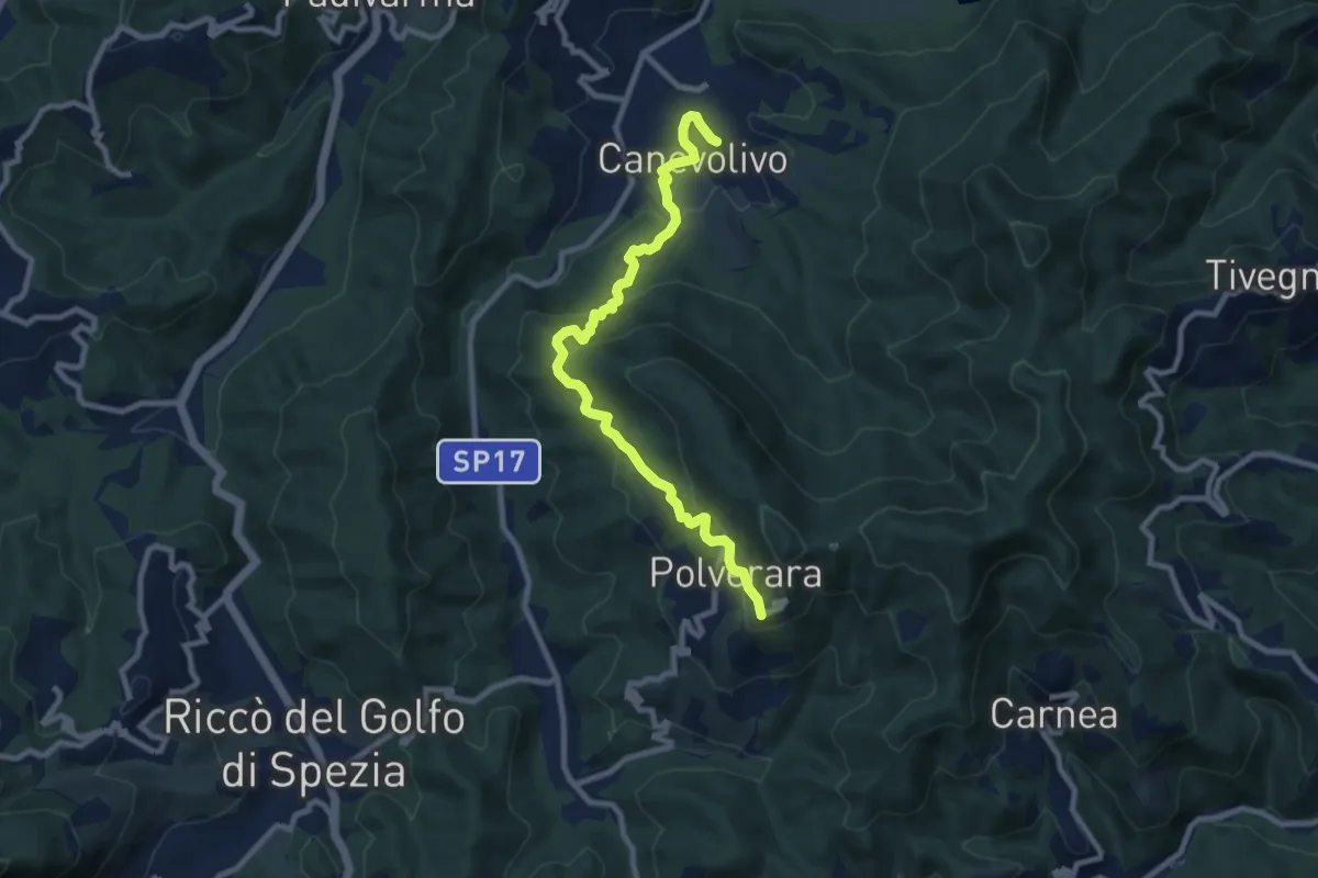
Medium · Trail
Cane Volivo – Scortica – Polverara
9.7 km · ↑ 520 m · 3 h 25 min · 12 km away
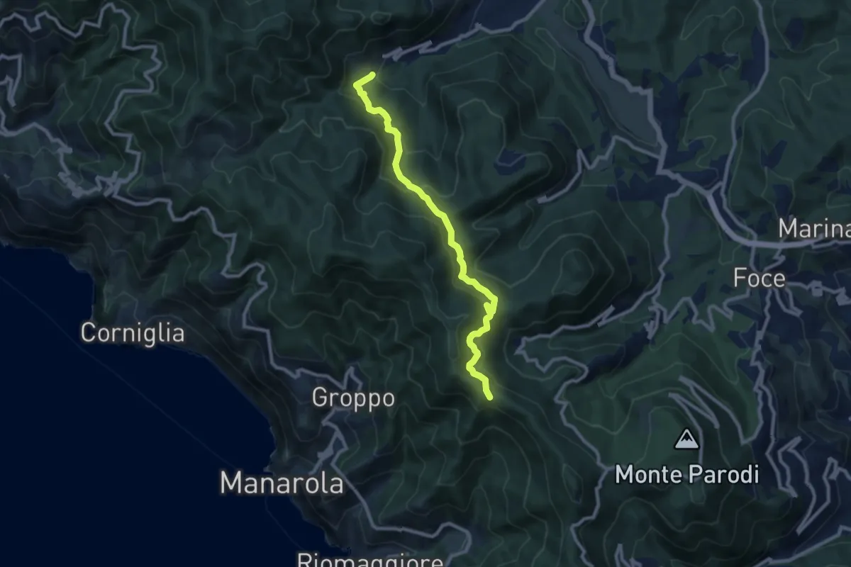
Demanding · Trail
Casella – Sella La Croce
9.1 km · ↑ 556 m · 3 h 21 min · 12 km away
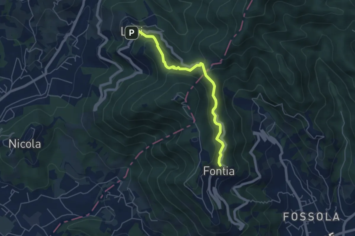
Easy · Trail
Ortonovo – Percorso 362
4.6 km · ↑ 238 m · 1 h 37 min · 12 km away
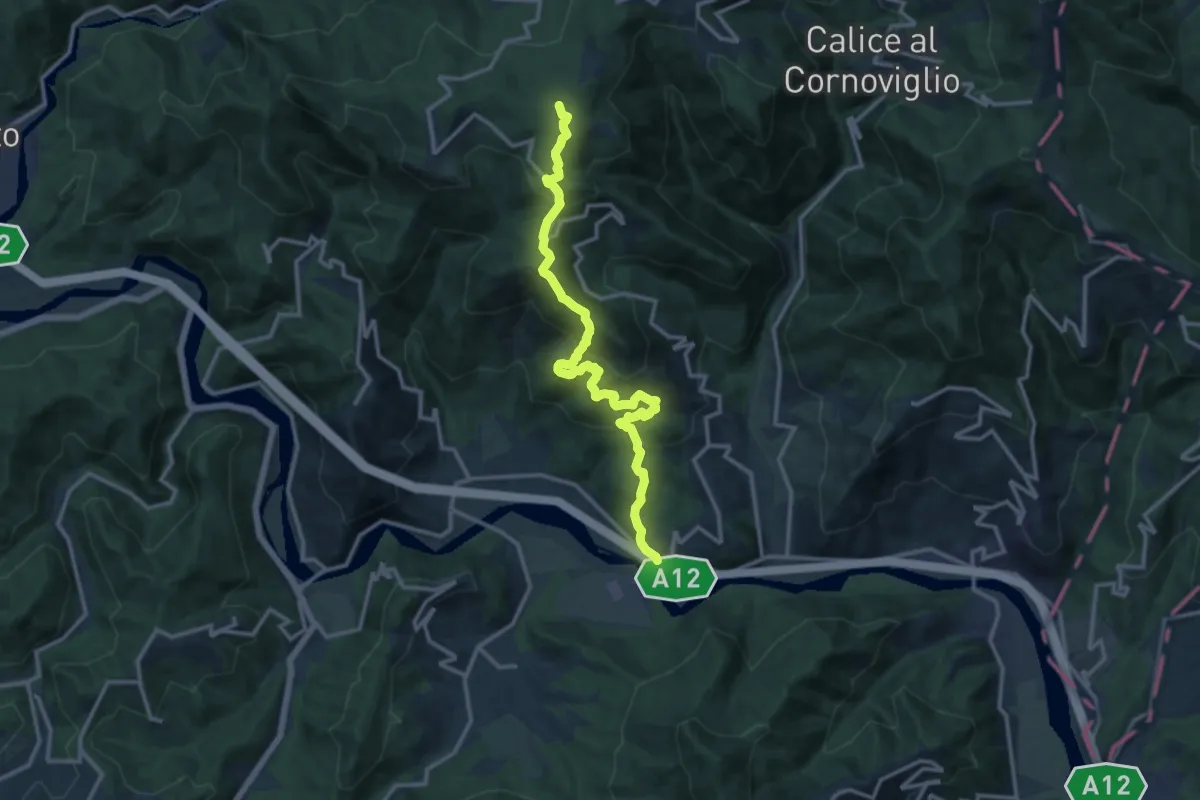
Demanding · Summit
San Remigio – Case Andreotti – Carme di Garbugliaga (Bivio 152)
14.1 km · ↑ 865 m · 5 h 12 min · 12 km away
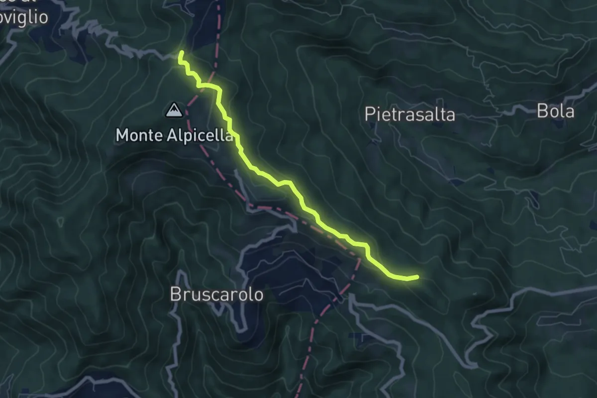
Easy · Trail
Passo Alpicella - Valico dei Solini
6.5 km · ↑ 254 m · 2 h 5 min · 12 km away
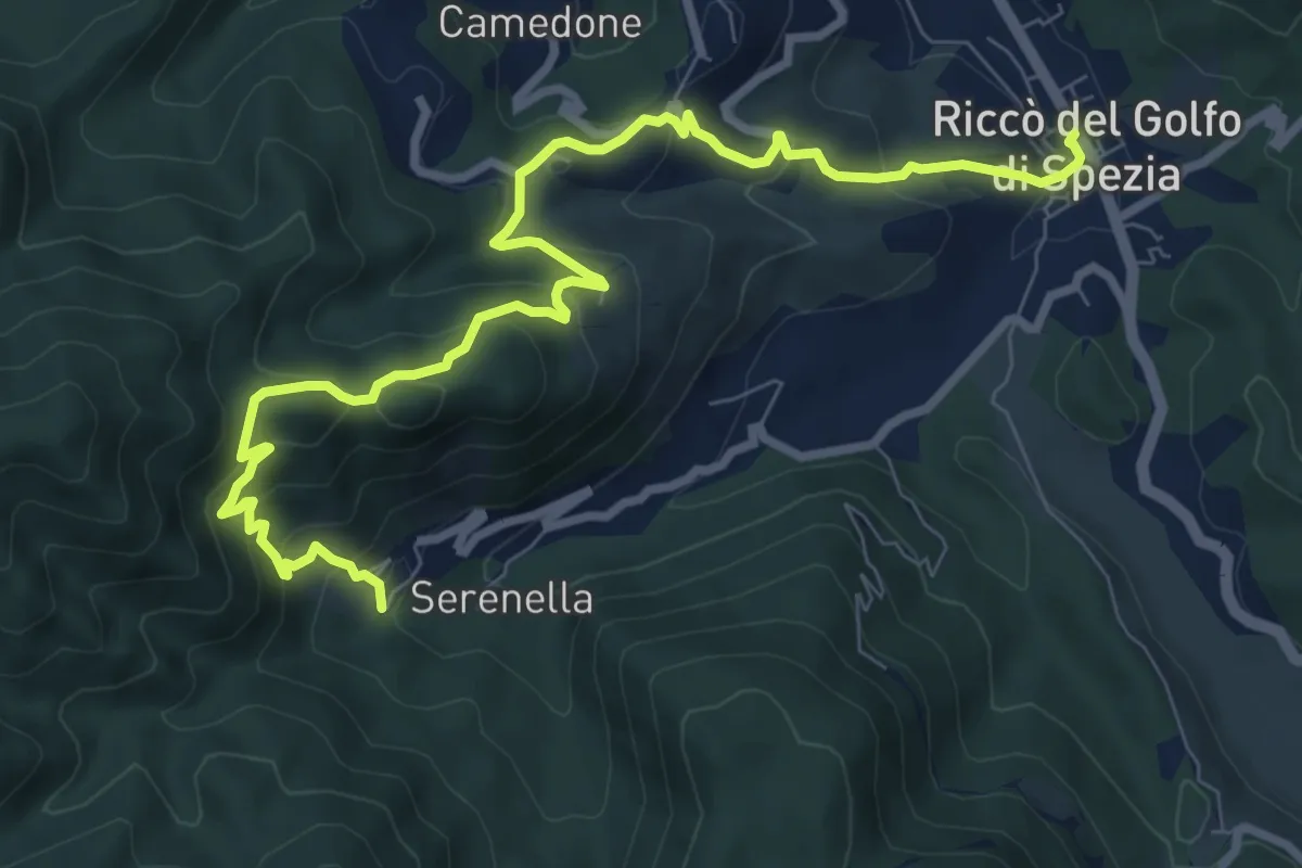
Medium · Trail
Riccò – Casella
10.5 km · ↑ 633 m · 3 h 51 min · 12 km away
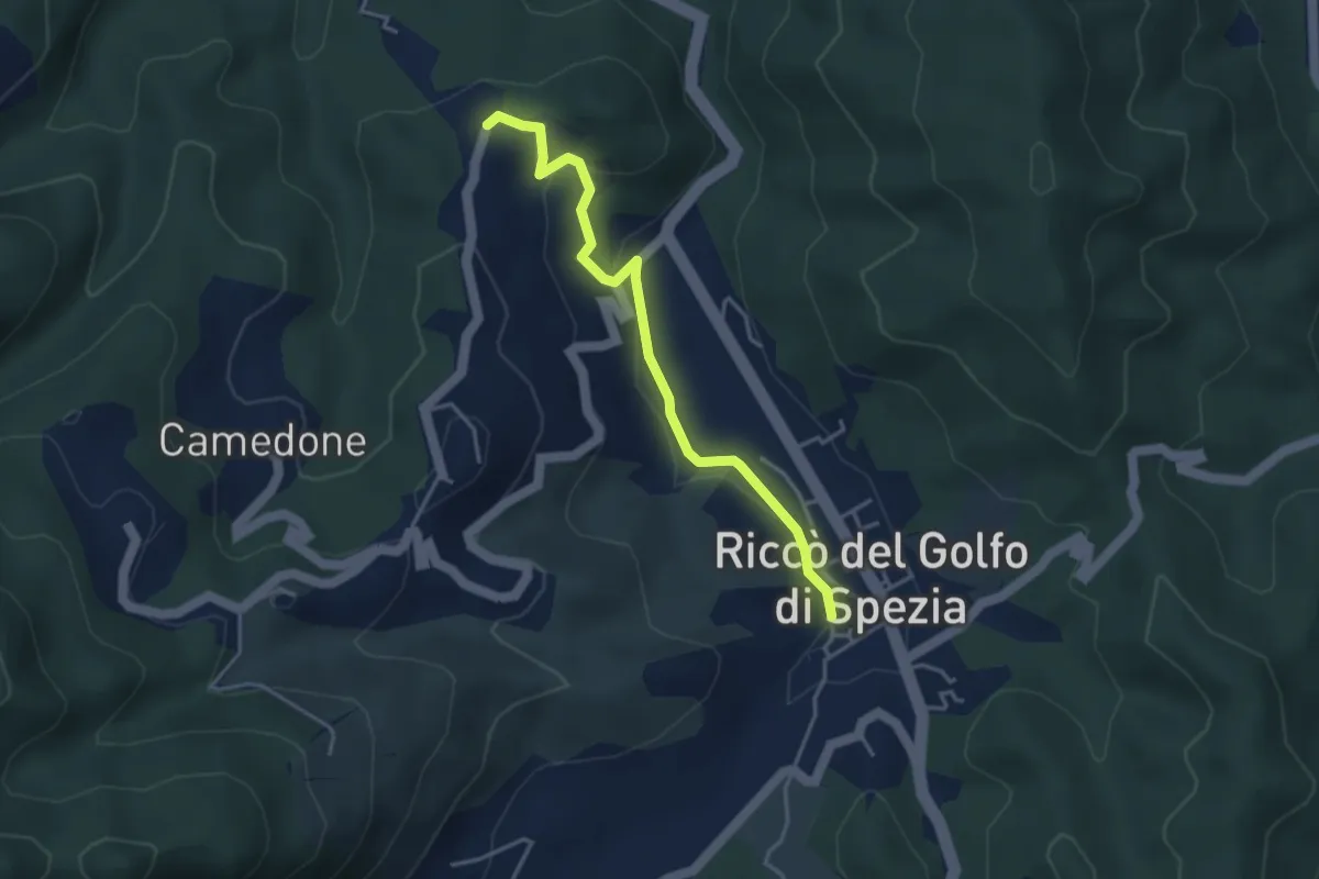
Easy · Trail
Riccò del Golfo – Pizzo Cuchelone
3.9 km · ↑ 138 m · 1 h 14 min · 12 km away
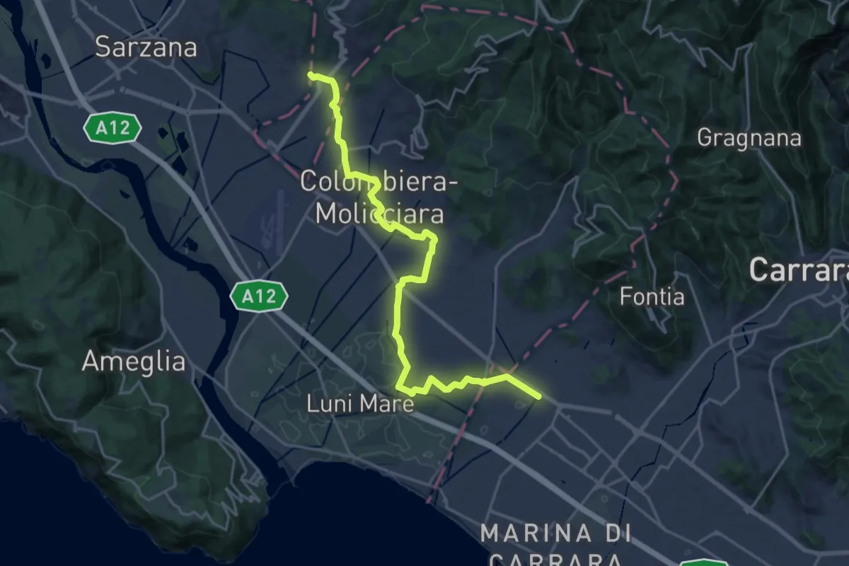
Medium · Pilgrim path
Via Francigena - 06 Toscana
10.5 km · ↑ 63 m · 2 h 44 min · 12 km away
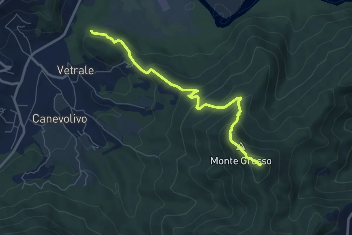
Demanding · Summit
Piano di Beverino – Monte Termi dritti
6.2 km · ↑ 449 m · 2 h 26 min · 12 km away
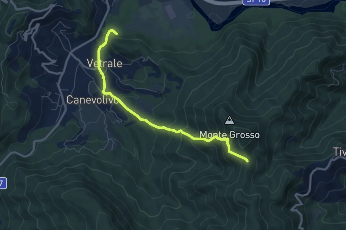
Medium · Trail
Vetrale – Monte Grosso
6.8 km · ↑ 462 m · 2 h 36 min · 12 km away
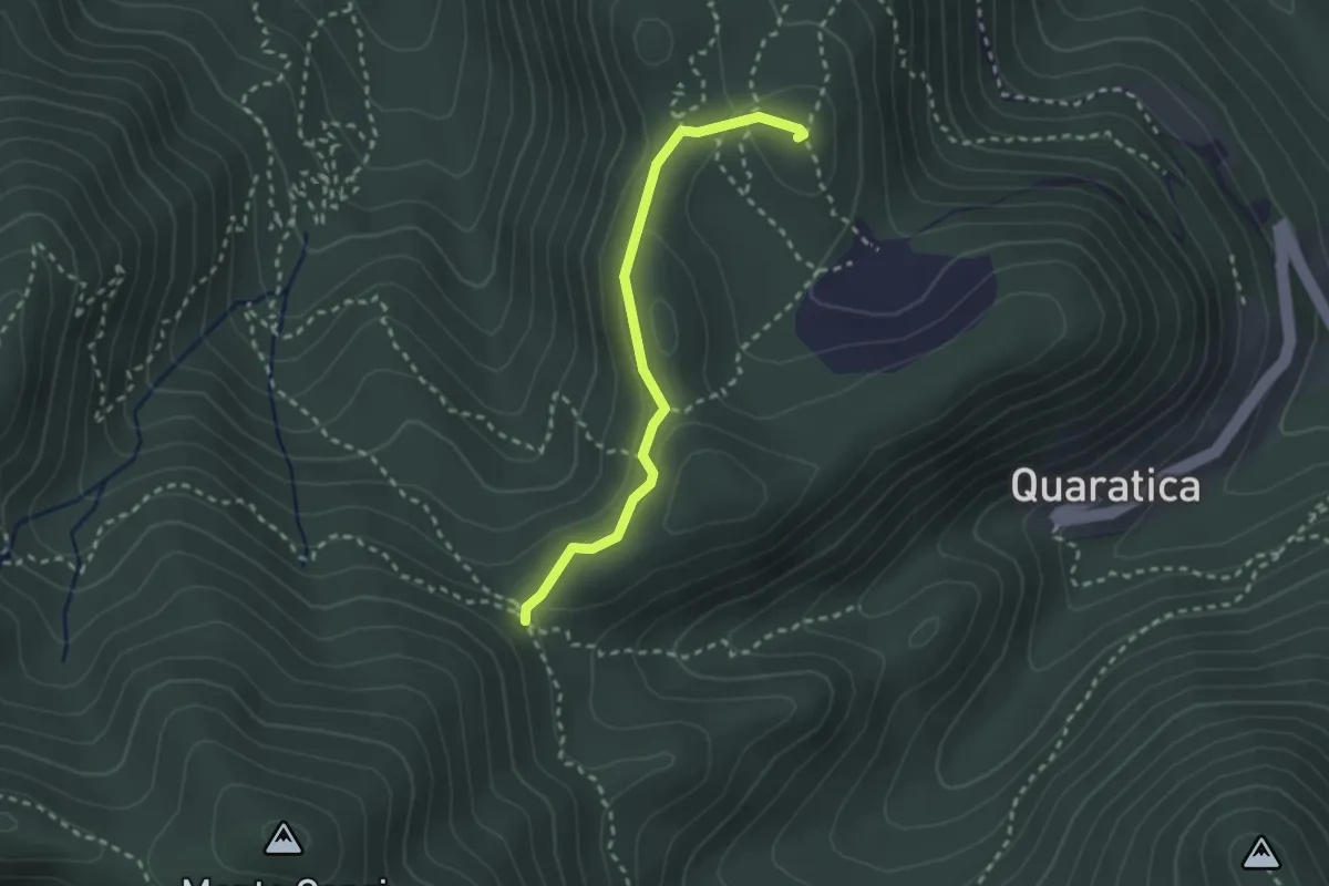
Demanding · Summit
Madonna dell'Agostina – Sella del Termo
2.6 km · ↑ 58 m · 44 min · 13 km away
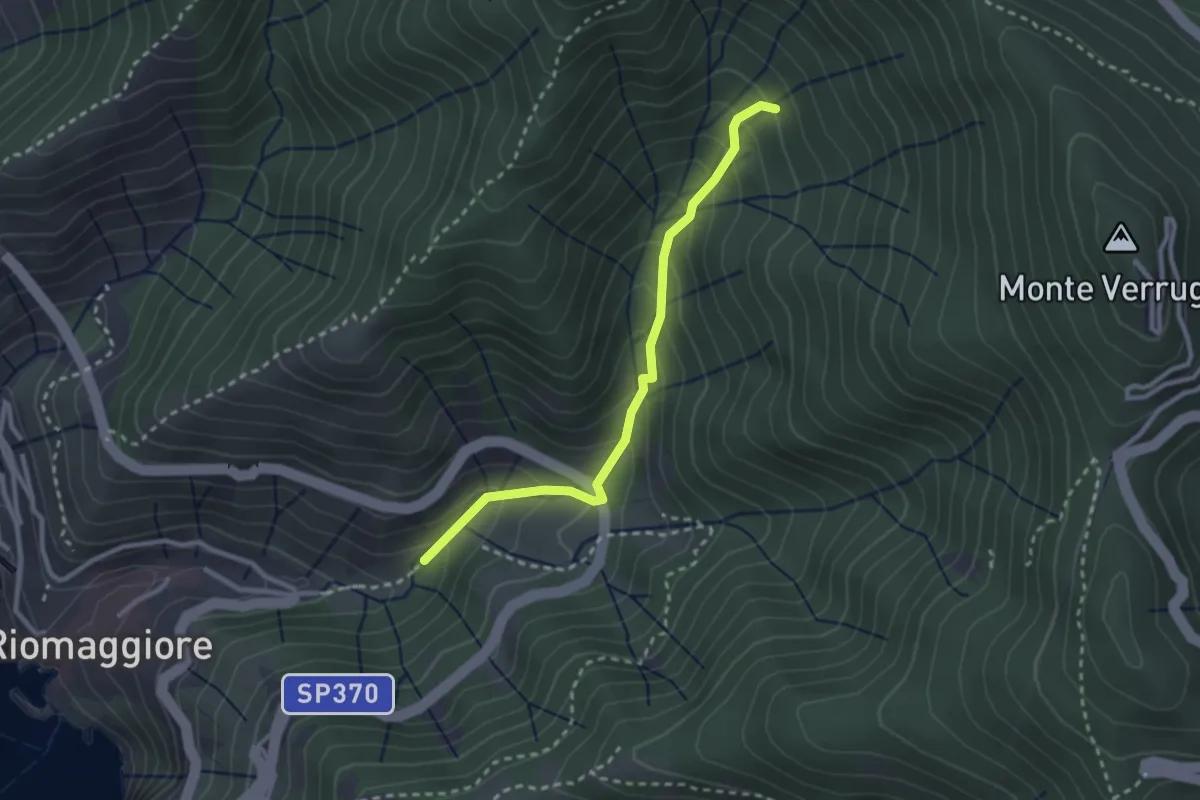
Easy · Trail
Bargone – Via dei Santuari
2.7 km · ↑ 262 m · 1 h 12 min · 13 km away
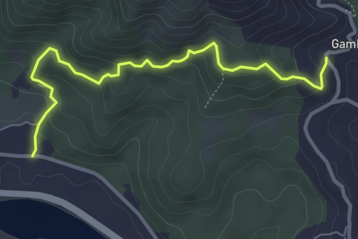
Easy · Trail
Cavanella – Gambella
5.6 km · ↑ 314 m · 2 h 1 min · 13 km away
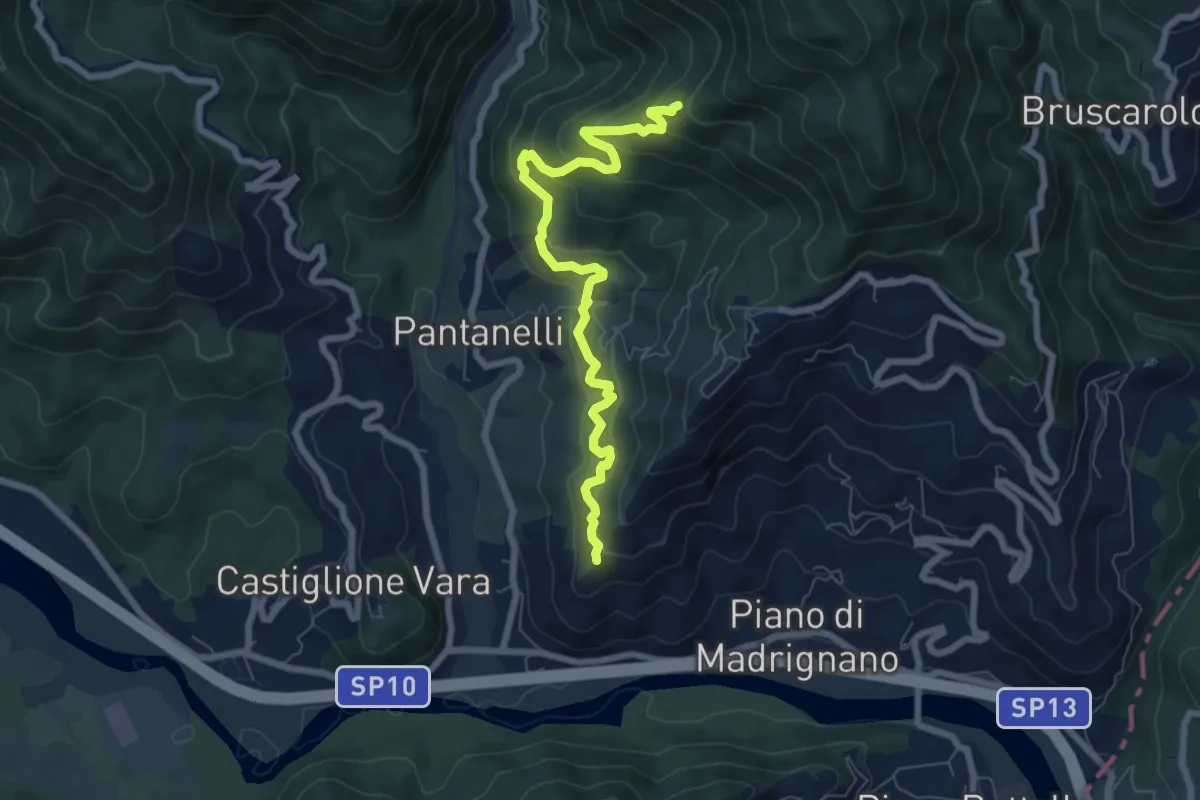
Medium · Trail
La Pianaccia - Case Carpenedo - Usurana - Novegina di Cima
7.6 km · ↑ 503 m · 2 h 53 min · 13 km away
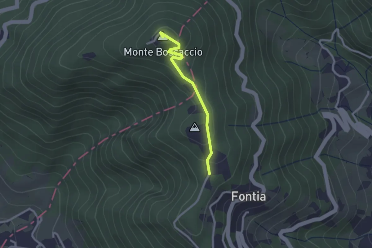
Easy · Summit
Percorso 370 – Percorso 368
2.0 km · ↑ 87 m · 39 min · 13 km away
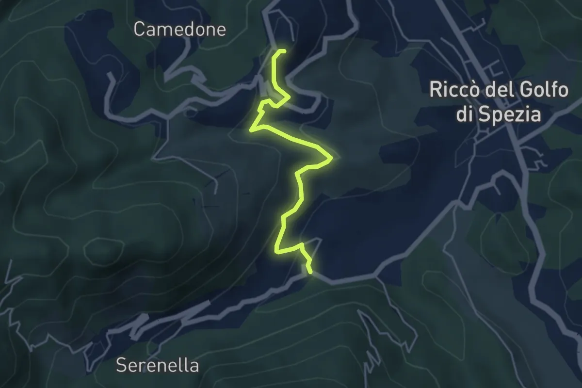
Easy · Trail
Valdipino – Ponzò
3.9 km · ↑ 197 m · 1 h 20 min · 13 km away
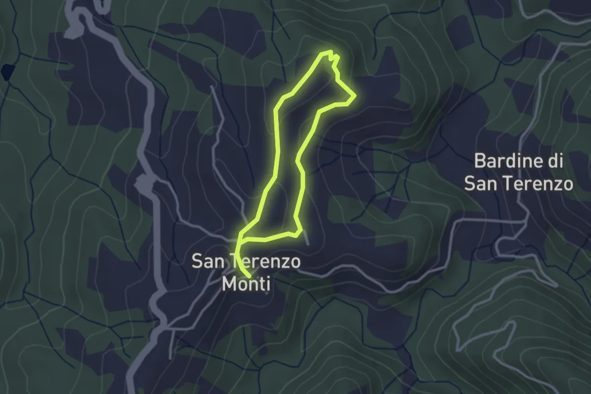
Easy · Trail
Sentiero della Memoria San Terenzo - Valla
2.2 km · ↑ 45 m · 39 min · 13 km away
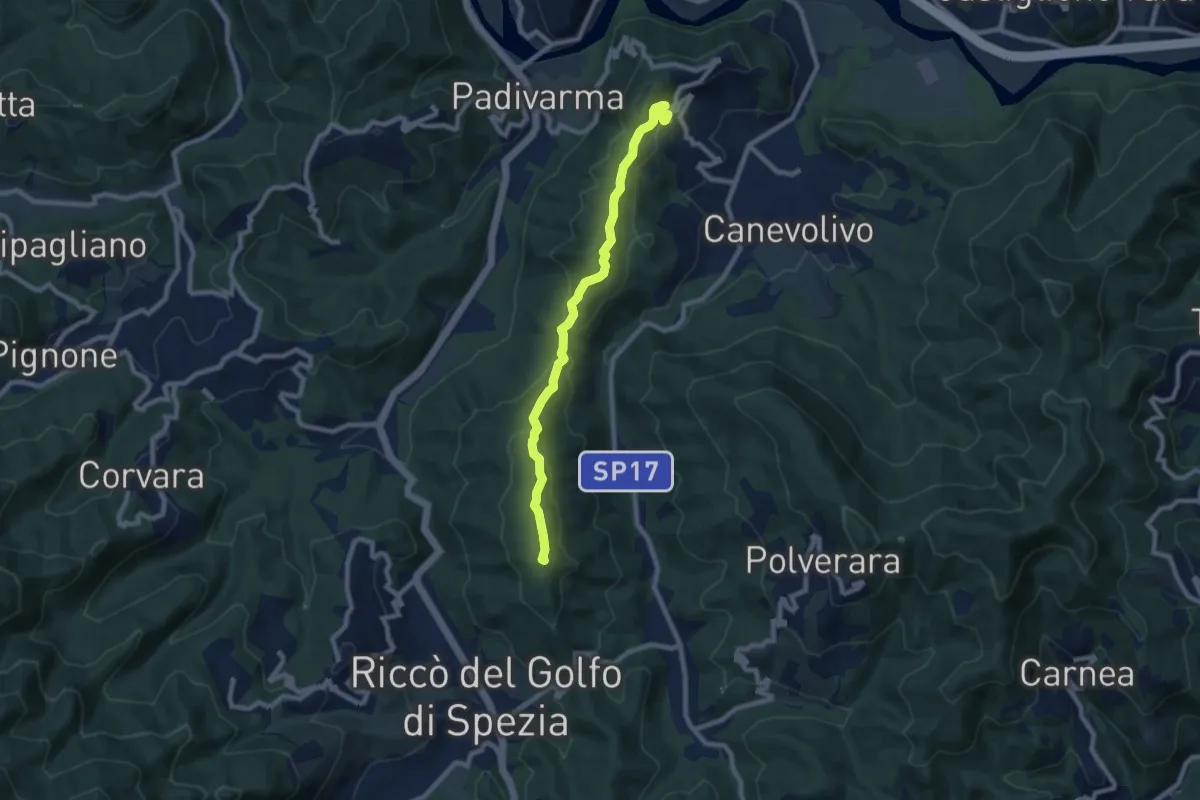
Medium · Summit
San Benedetto – Beverino
8.3 km · ↑ 342 m · 2 h 42 min · 13 km away
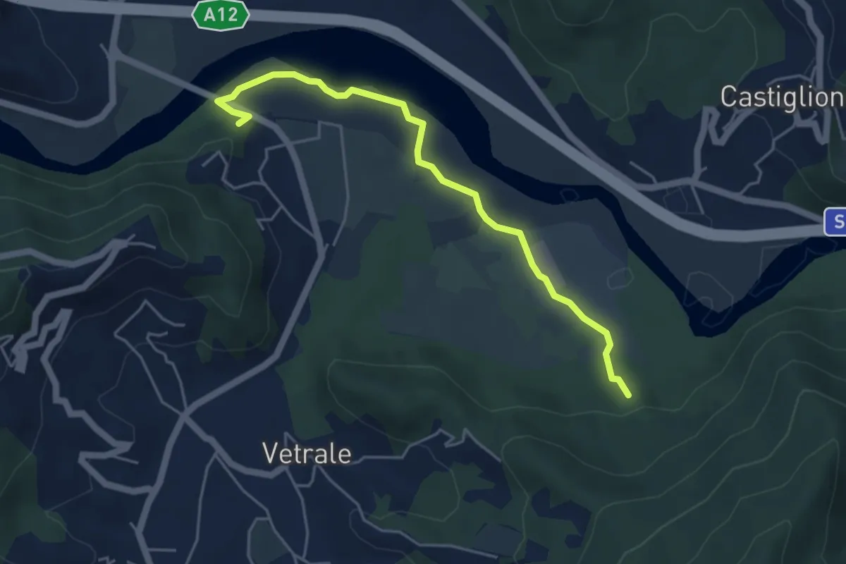
Medium · Trail
Il Palazzo – Cortica Vecchia
4.9 km · ↑ 38 m · 1 h 14 min · 13 km away
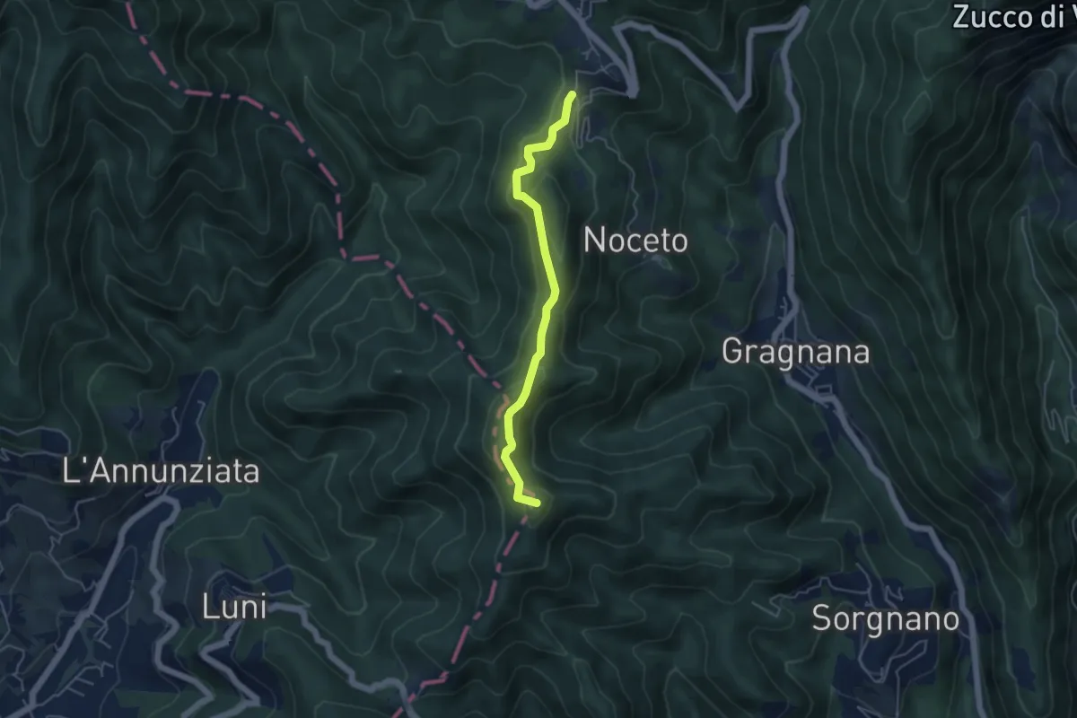
Easy · Summit
Ortonovo – Castelpoggio
4.5 km · ↑ 206 m · 1 h 30 min · 13 km away
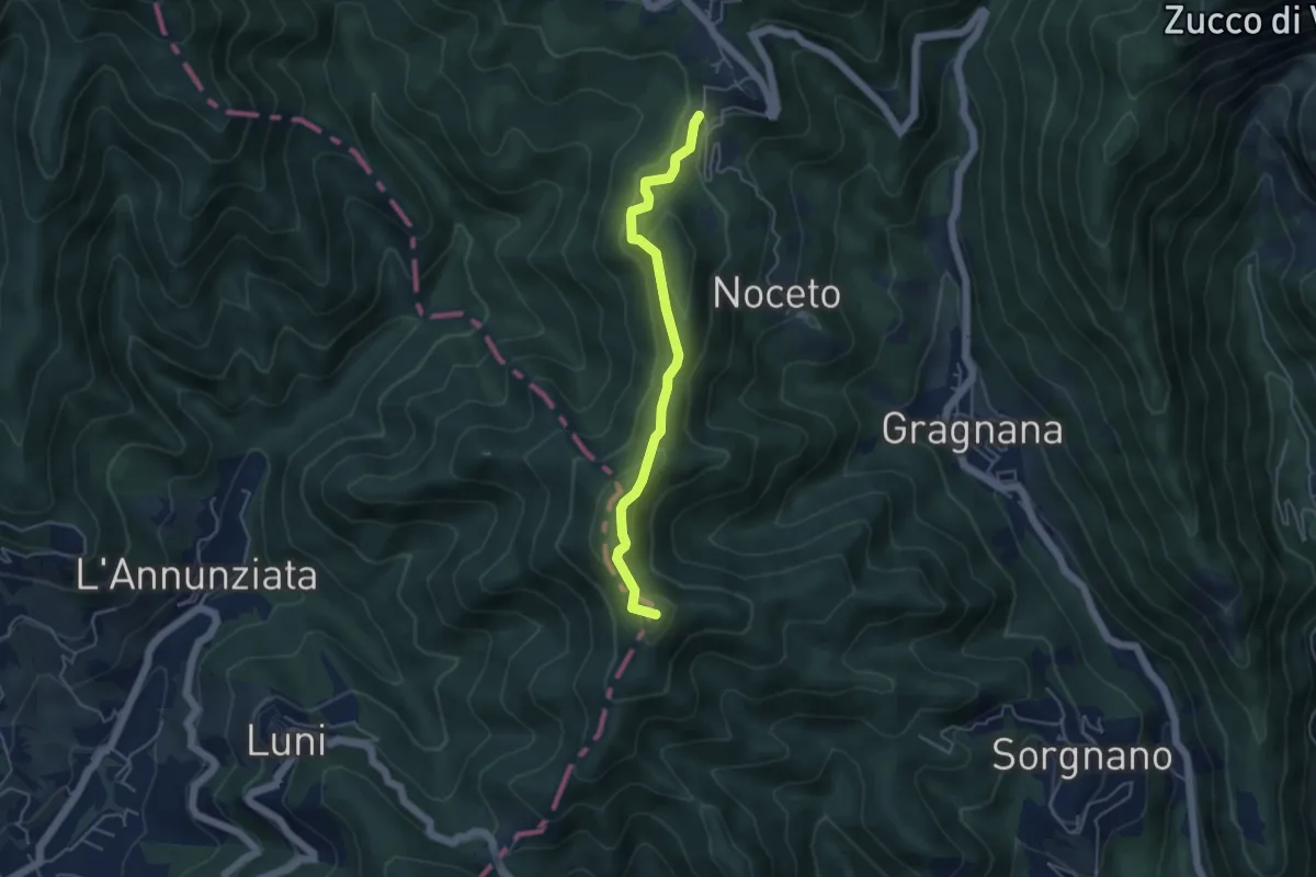
Easy · Summit
Cammino di Aronte - Tappa 2
4.5 km · ↑ 206 m · 1 h 30 min · 13 km away
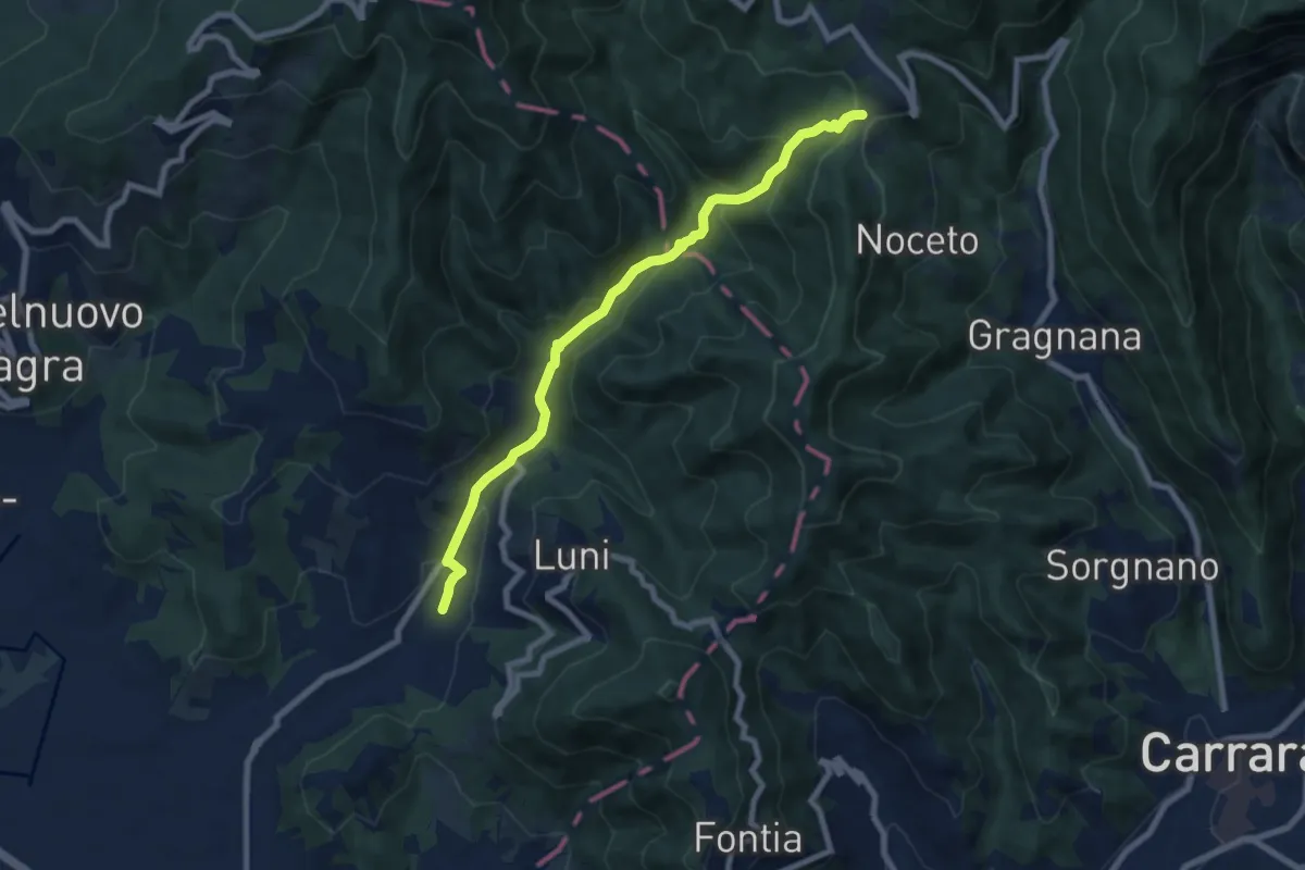
Medium · Trail
Casano – Castelpoggio
7.9 km · ↑ 432 m · 2 h 49 min · 13 km away
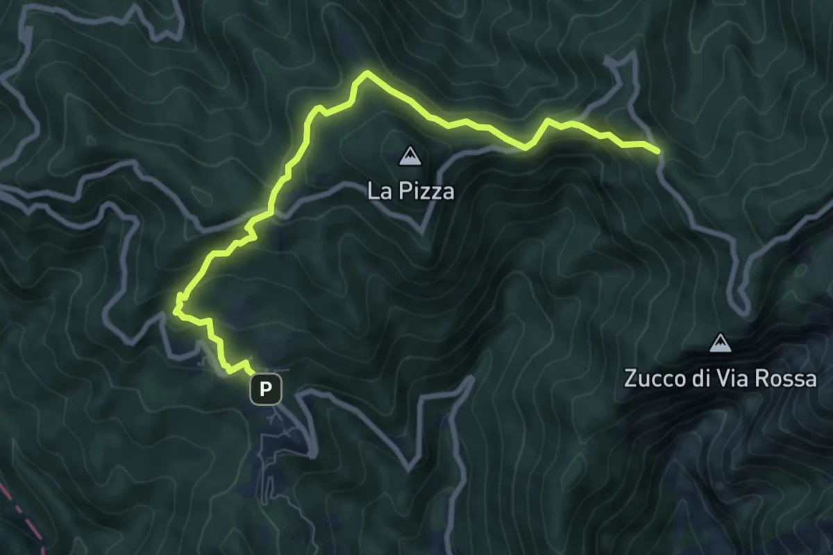
Medium · Trail
Castelpoggio – Gabellaccia
8.4 km · ↑ 454 m · 2 h 58 min · 13 km away
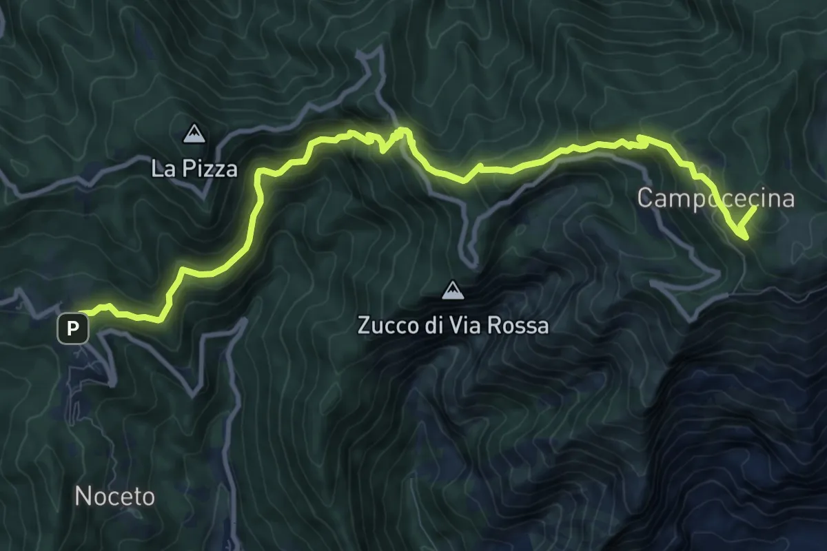
Demanding · Summit
Castelpoggio – Rifugio Carrara
12.1 km · ↑ 946 m · 4 h 55 min · 13 km away
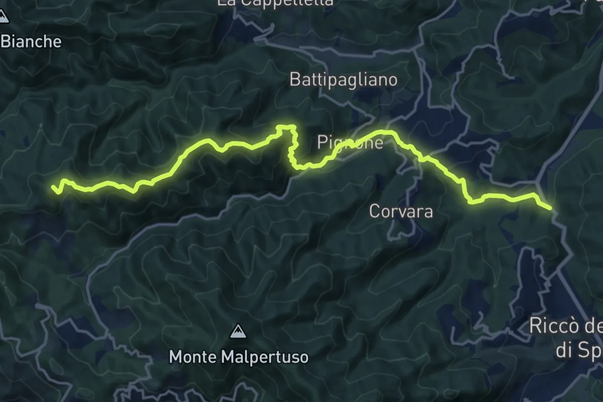
Demanding · Summit
Pian di Barca – Monte Crocettola
18.2 km · ↑ 936 m · 6 h 19 min · 13 km away
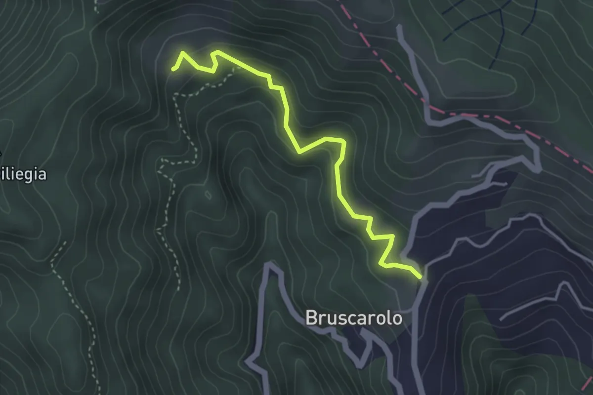
Easy · Trail
Bruscarolo - Case Carzachi
3.5 km · ↑ 244 m · 1 h 22 min · 14 km away
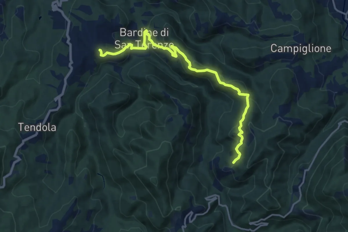
Medium · Trail
San Terenzo – Cecina
12.4 km · ↑ 595 m · 4 h 13 min · 14 km away
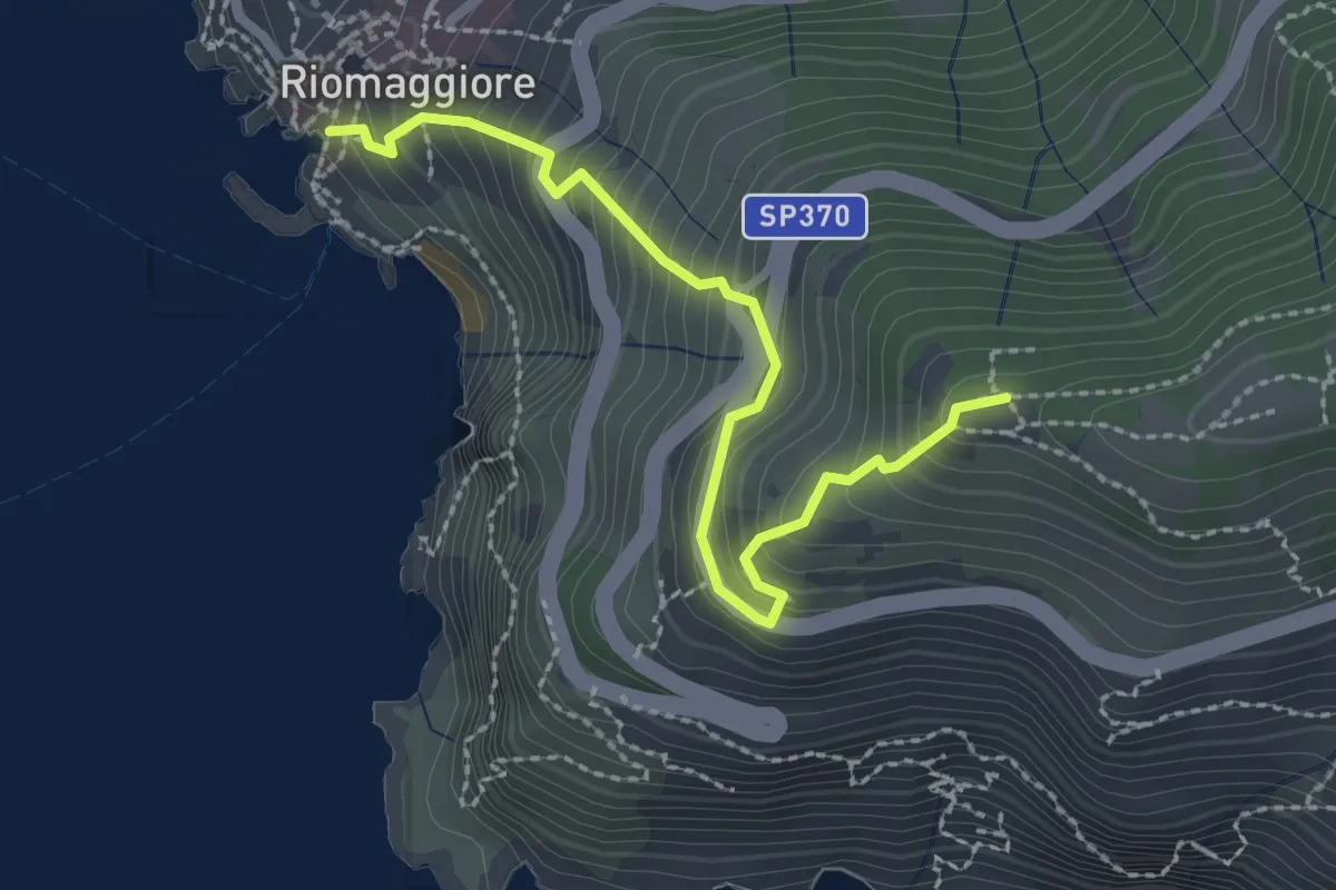
Easy · Trail
Riomaggiore – Mad. di Montenero
2.6 km · ↑ 316 m · 1 h 18 min · 14 km away
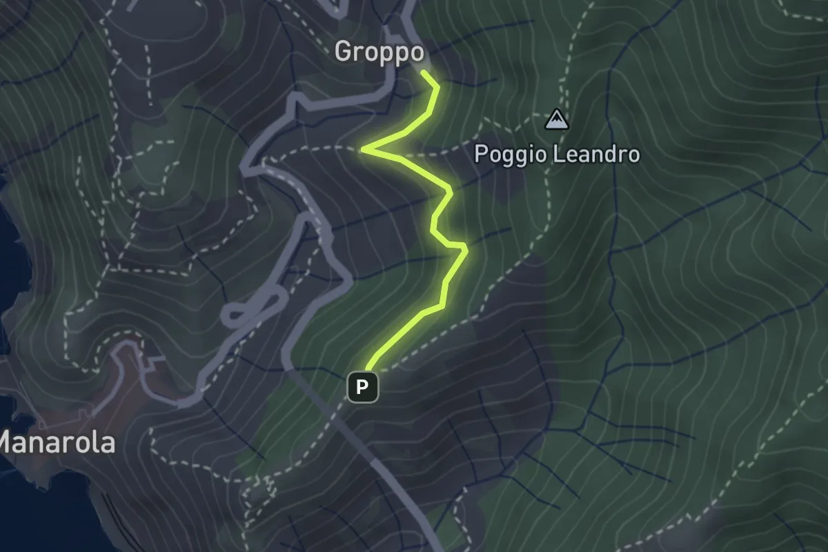
Medium · Trail
Groppo – Costa Corniolo
2.1 km · ↑ 211 m · 58 min · 14 km away