Trails near Arcola
211 hikes starting within 15 km, nearest first.
Nearest first, page 5 of 5
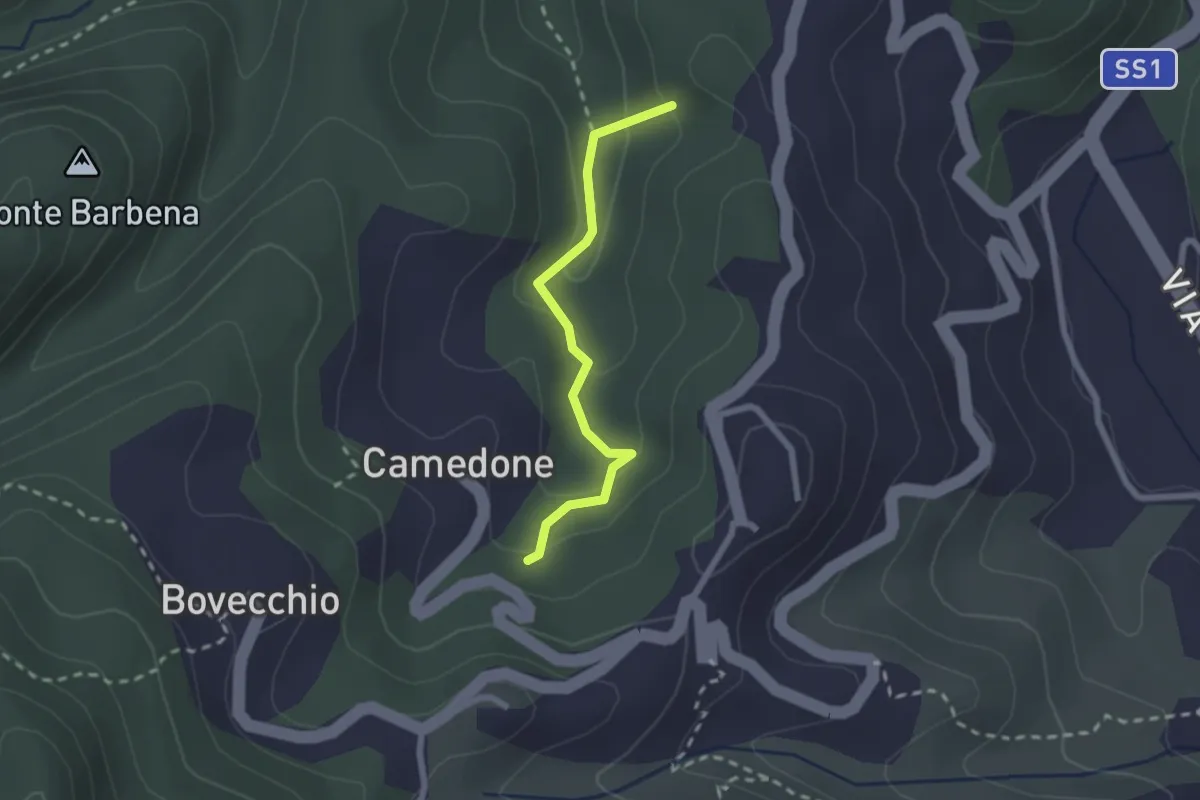
Easy · Summit
Pian di Barca – Camedone
2.1 km · ↑ 79 m · 40 min · 14 km away
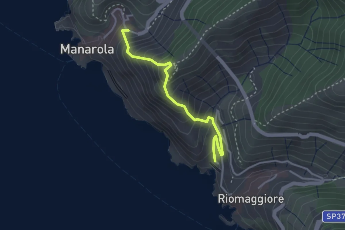
Medium · Trail
Riomaggiore – Manarola
2.8 km · ↑ 366 m · 1 h 27 min · 14 km away
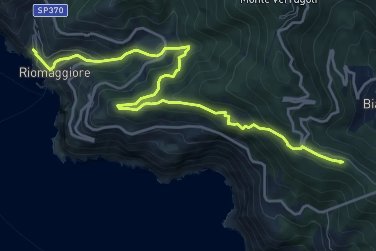
Medium · Summit
Sentiero Liguria - Tappa 3
10.0 km · ↑ 709 m · 3 h 55 min · 14 km away
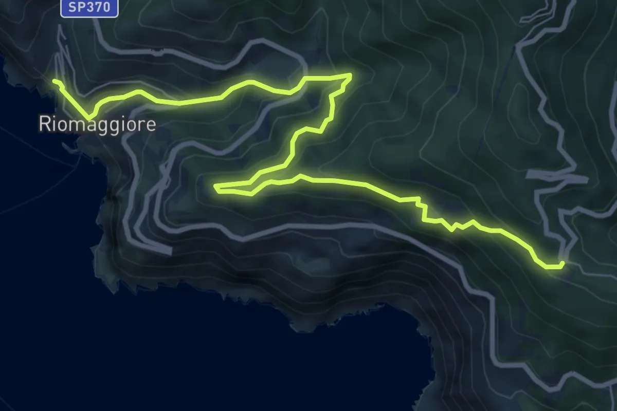
Medium · Trail
Sentiero Verde Azzurro: Telegrafo - Montenero - Riomaggiore
9.2 km · ↑ 682 m · 3 h 39 min · 14 km away
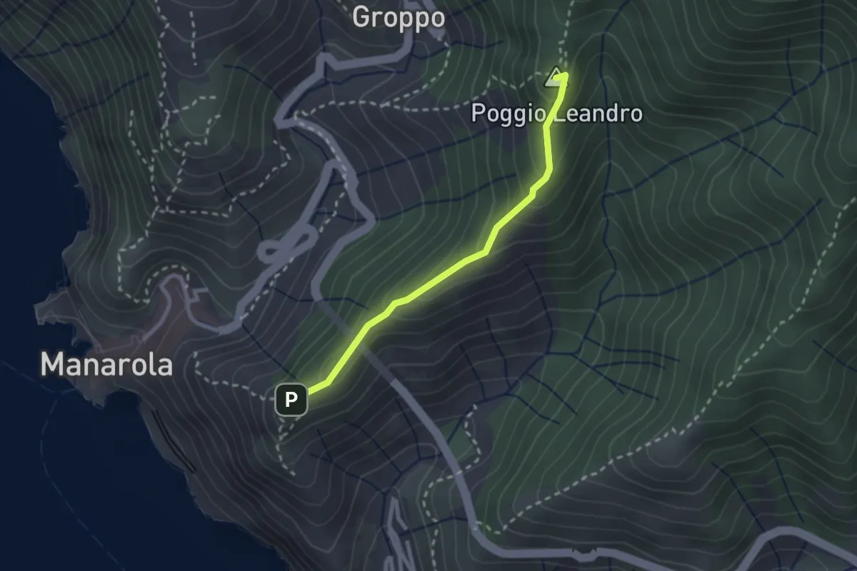
Easy · Summit
Costa Corniolo – Strada dei Santuari
2.3 km · ↑ 169 m · 55 min · 14 km away
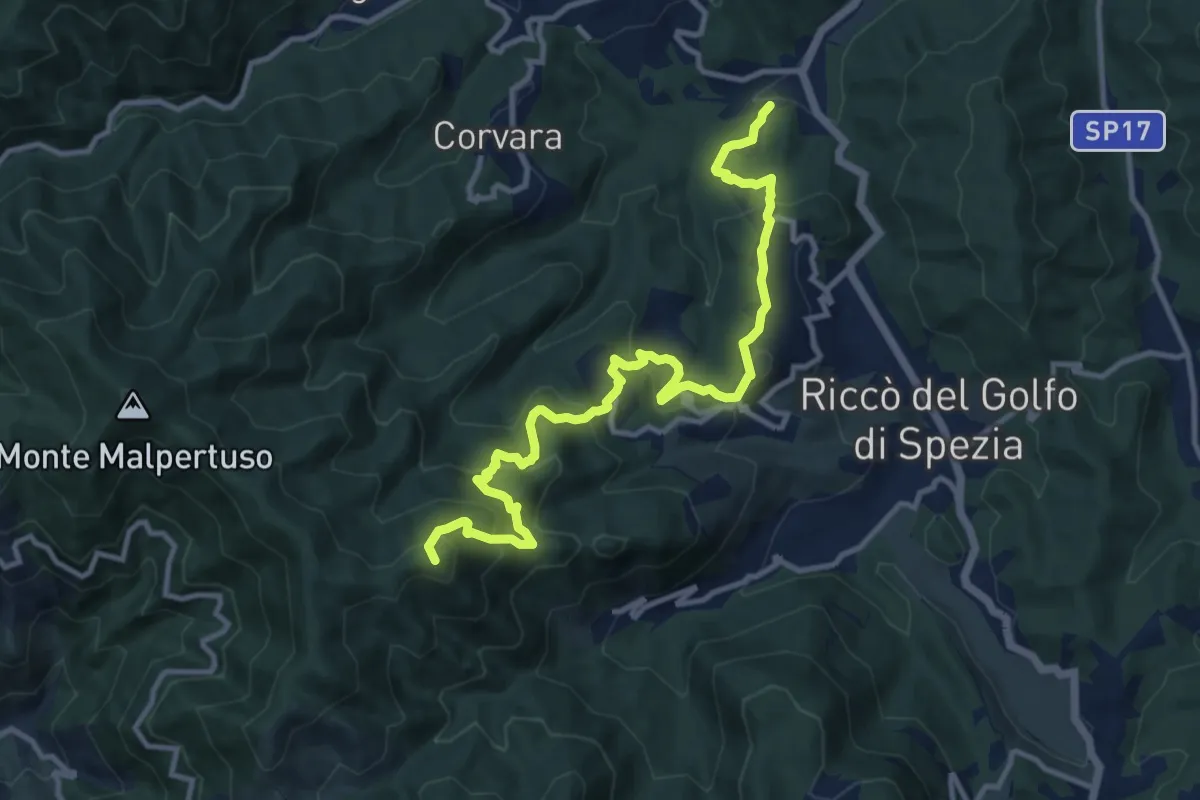
Expert · Summit
Pian di Barca – Baudara
13.2 km · ↑ 880 m · 5 h 1 min · 14 km away
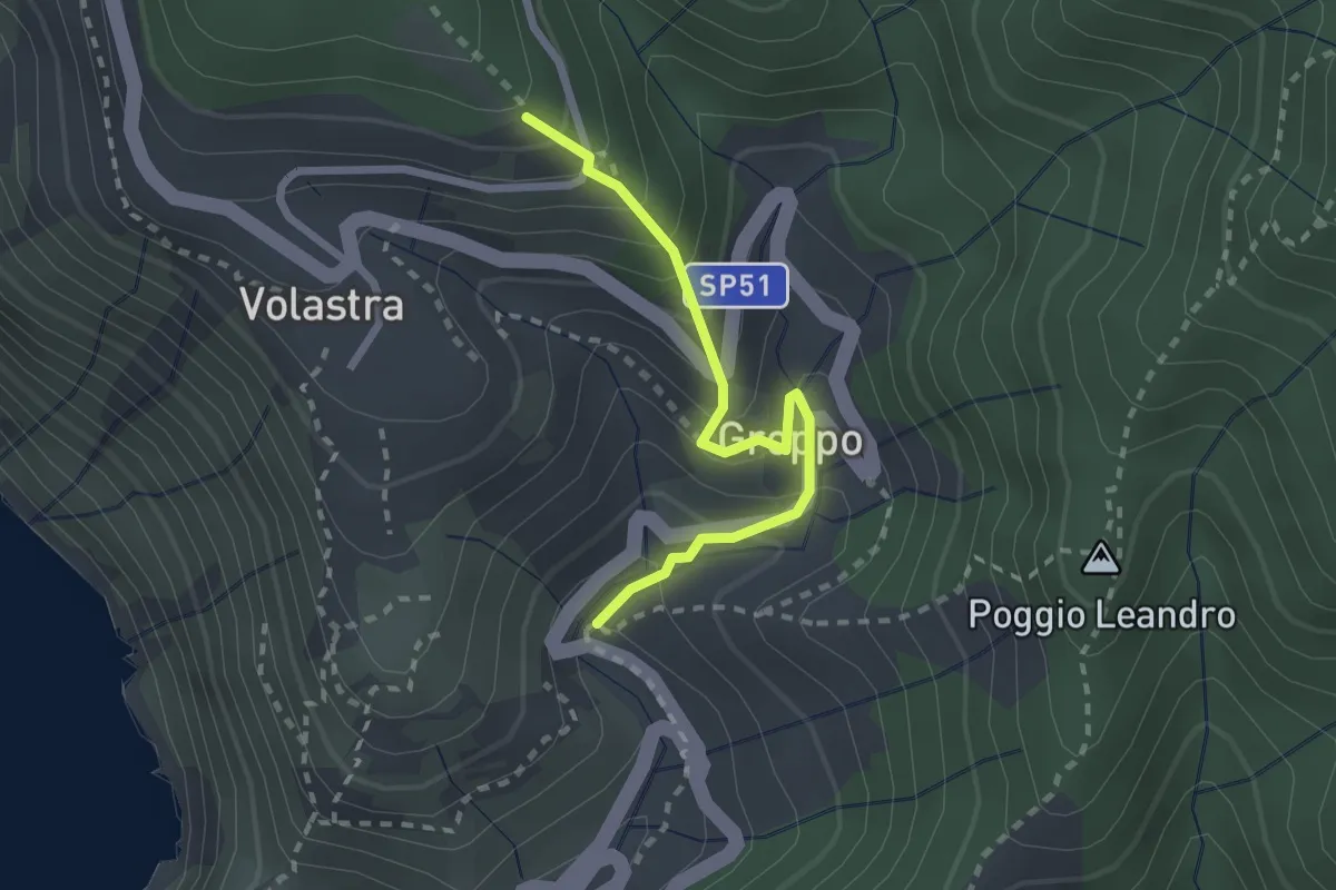
Easy · Trail
Groppo – Strada dei Santuari
2.3 km · ↑ 257 m · 1 h 7 min · 14 km away
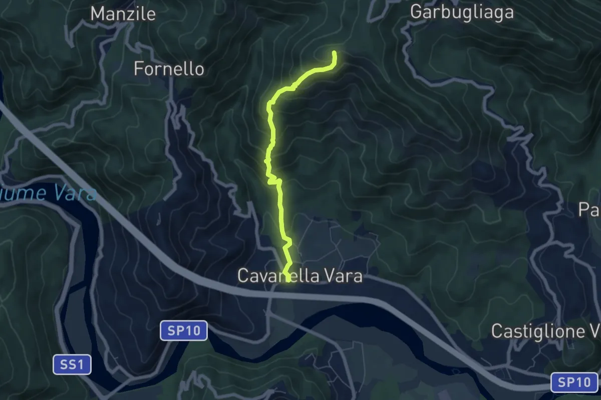
Medium · Summit
Cavanella – Bric Arvota – (Bivio 159)
5.5 km · ↑ 485 m · 2 h 21 min · 14 km away
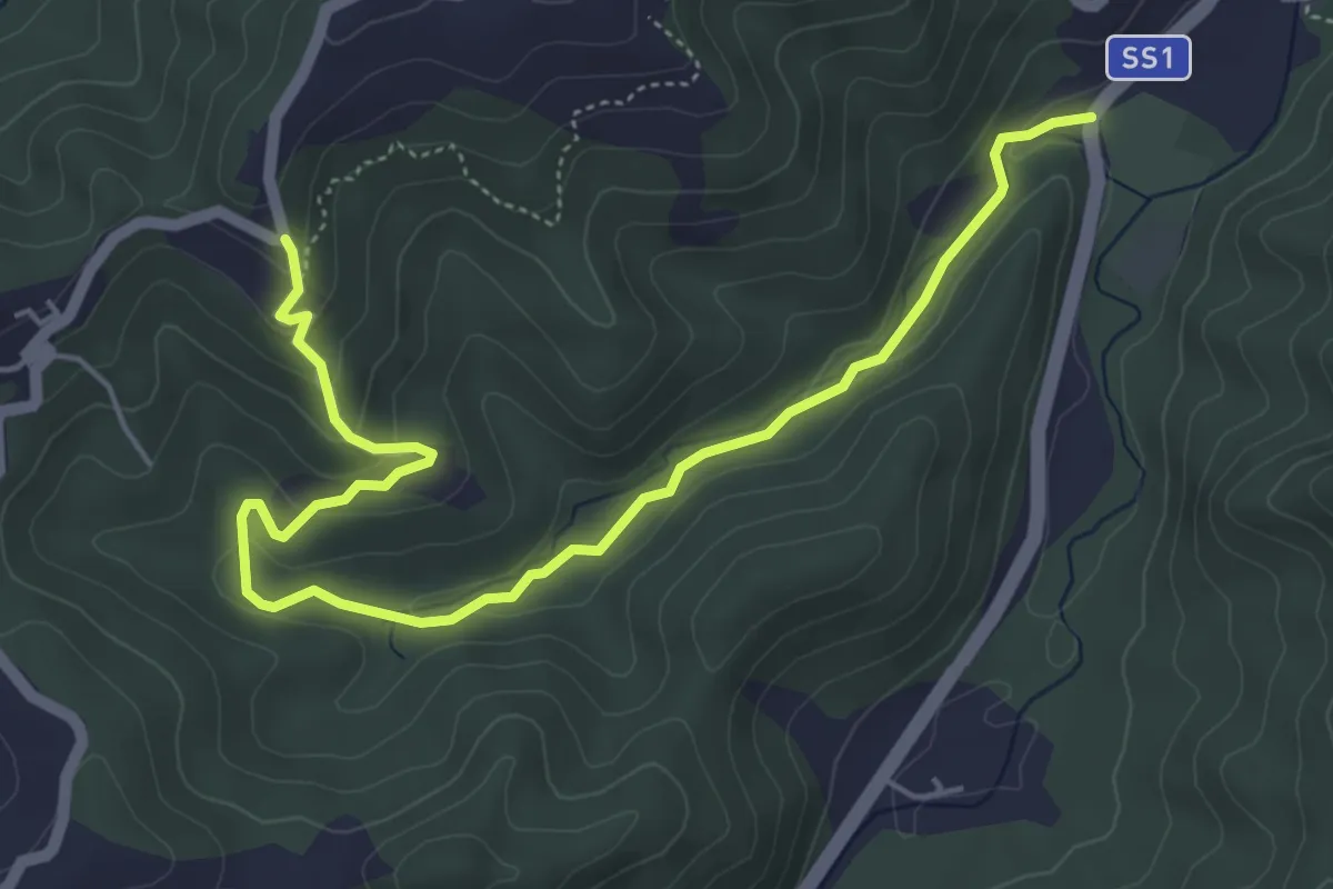
Easy · Trail
Case Grobbio – Incavanella
6.4 km · ↑ 201 m · 1 h 57 min · 14 km away
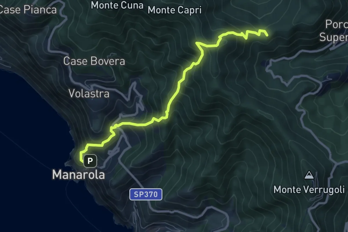
Demanding · Summit
Manarola – San Benedetto
8.1 km · ↑ 891 m · 3 h 51 min · 14 km away
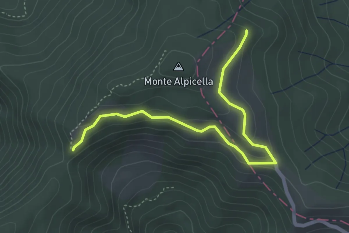
Easy · Trail
Foce Carzachi – Alpicella
4.5 km · ↑ 175 m · 1 h 26 min · 14 km away
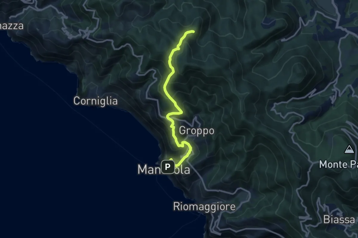
Medium · Summit
Manarola – Casella
9.6 km · ↑ 749 m · 3 h 53 min · 14 km away
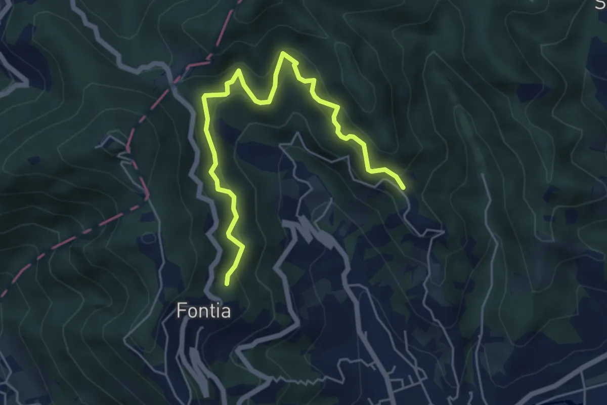
Medium · Trail
Cammino di Aronte - Tappa 1
5.5 km · ↑ 548 m · 2 h 29 min · 14 km away
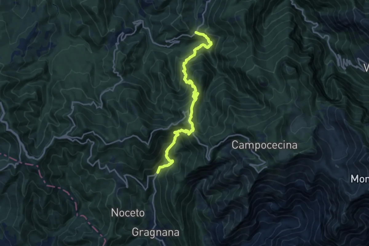
Demanding · Trail
Ponte Storto – Maestà della Villa
13.5 km · ↑ 1285 m · 5 h 58 min · 14 km away
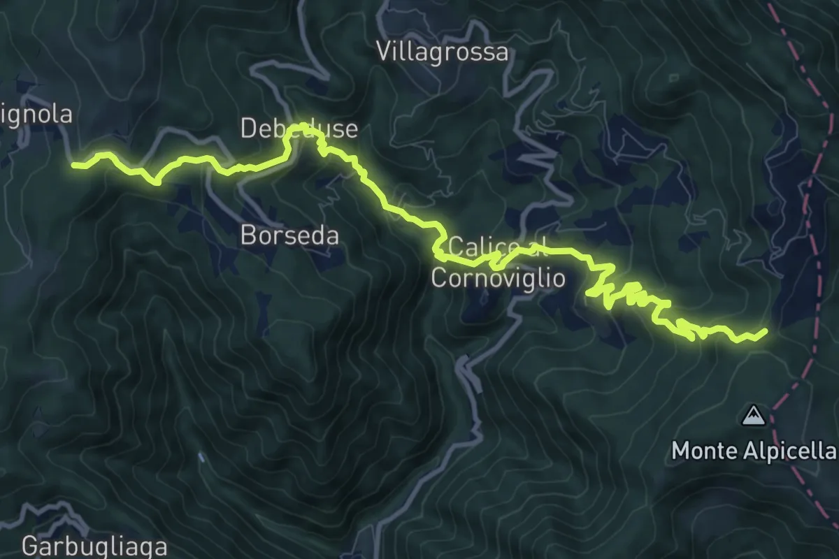
Demanding · Trail
Foce Veppo - Debeduse – Terugiara - Calice al Cornoviglio - Alpicella
13.8 km · ↑ 841 m · 5 h 4 min · 15 km away
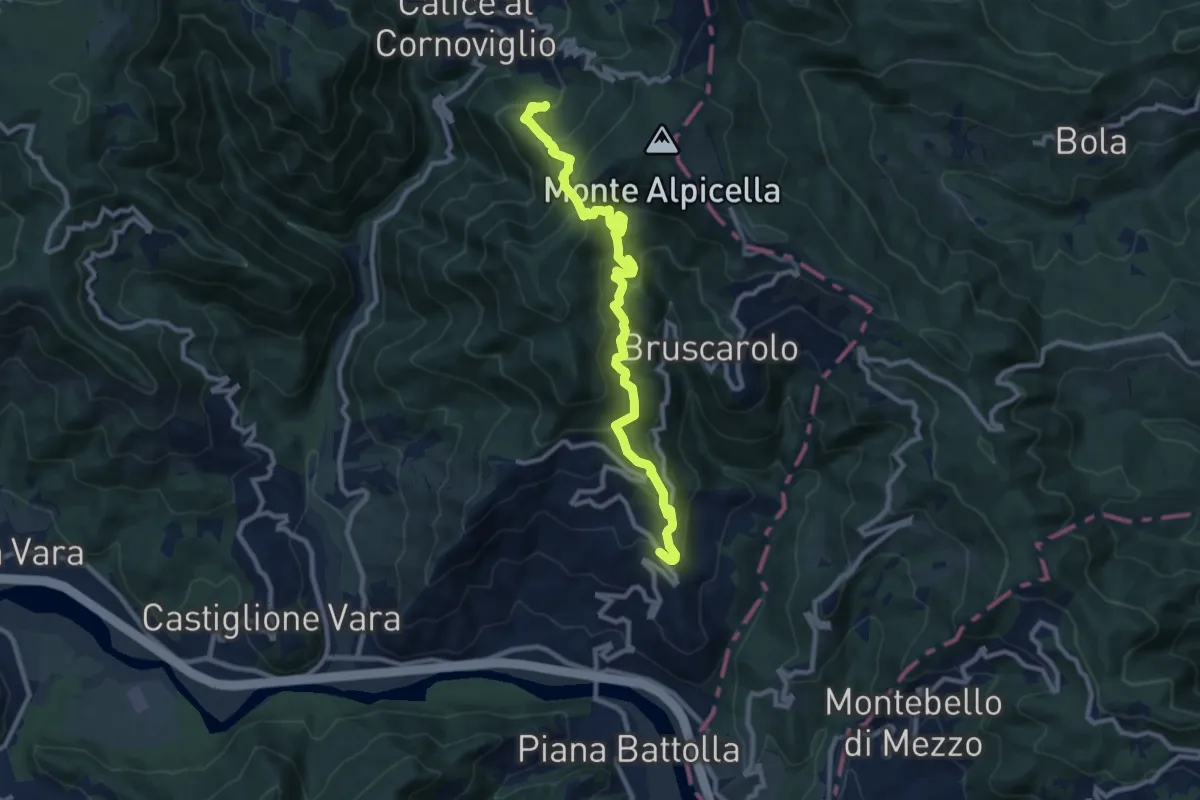
Demanding · Trail
Tranci di Sotto - Provedasco - Case Carzachi - Foce Carzachi - Nasso di Sopra
10.9 km · ↑ 845 m · 4 h 24 min · 15 km away
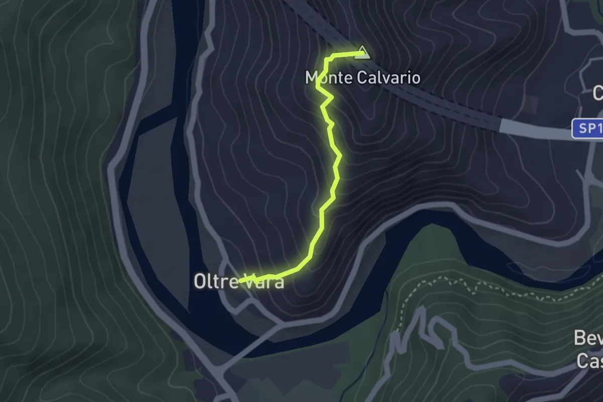
Easy · Summit
Oltrevara – Stadomelli (Bivio 152)
2.7 km · ↑ 317 m · 1 h 20 min · 15 km away
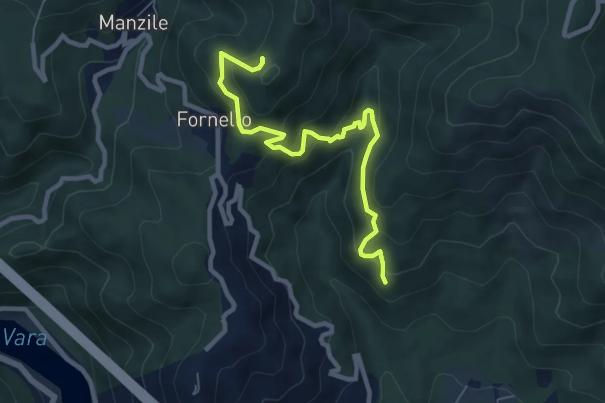
Medium · Trail
Cavanella – Case Bodri – (Bivio 152)
5.9 km · ↑ 564 m · 2 h 36 min · 15 km away
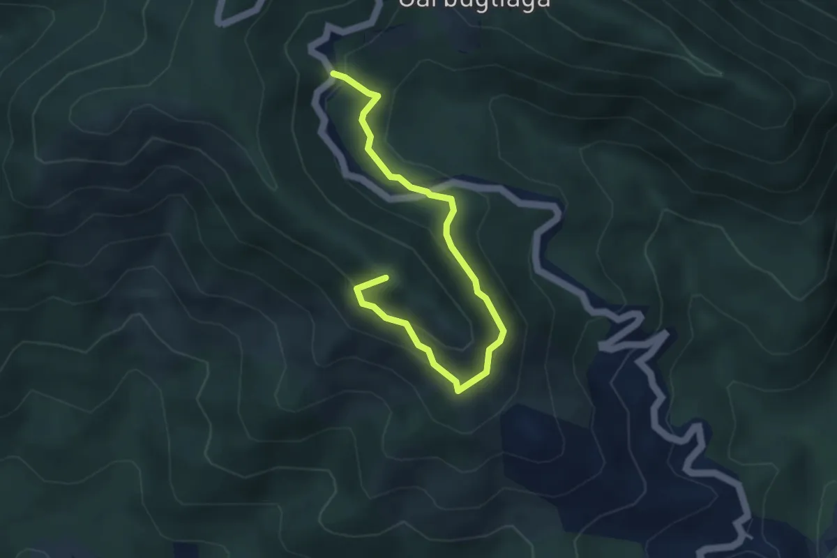
Easy · Summit
Anello Monte Gruzzo
4.1 km · ↑ 250 m · 1 h 31 min · 15 km away