Trails near Arenzano
128 hikes starting within 15 km, nearest first.
Nearest first, page 1 of 3
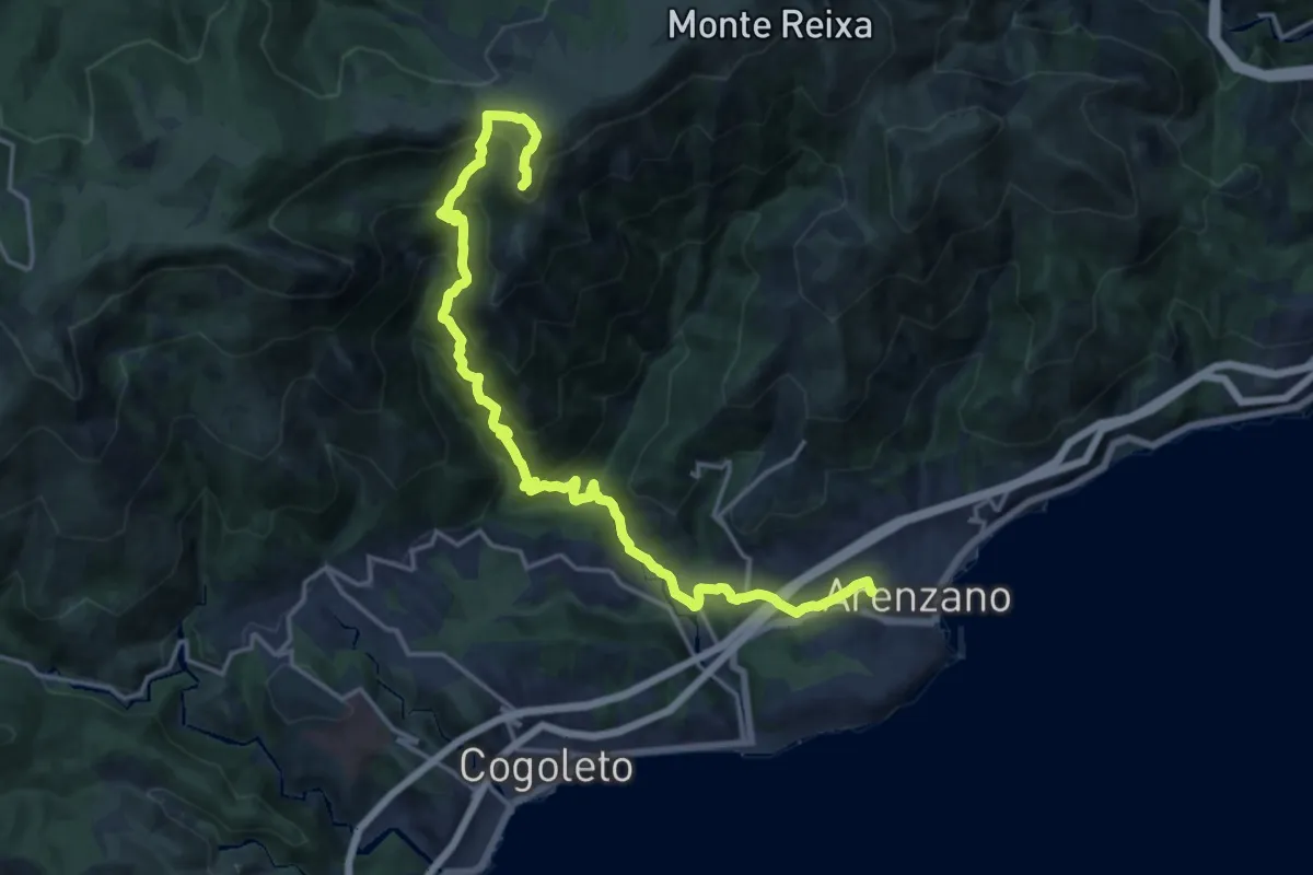
Demanding · Summit
Arenzano – Monte Argentea
19.4 km · ↑ 1358 m · 7 h 31 min · under 1 km away
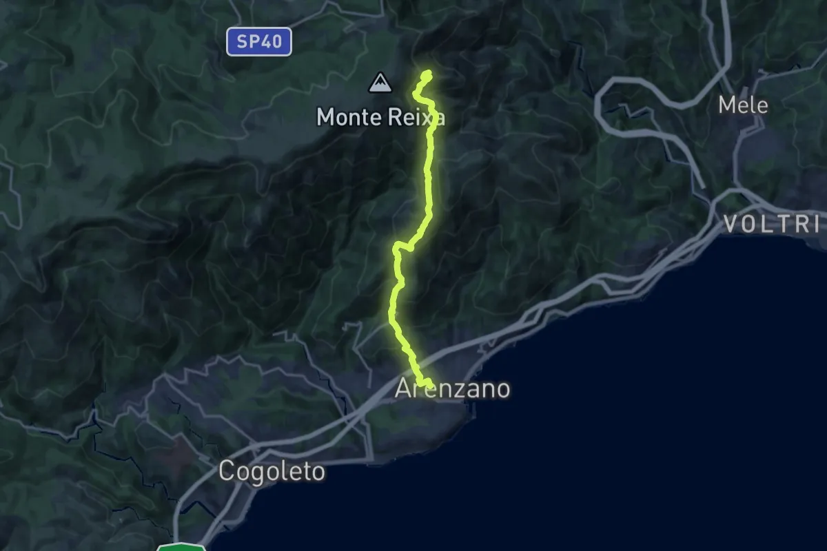
Demanding · Summit
Arenzano - Passo del Faiallo
14.6 km · ↑ 1105 m · 5 h 51 min · under 1 km away
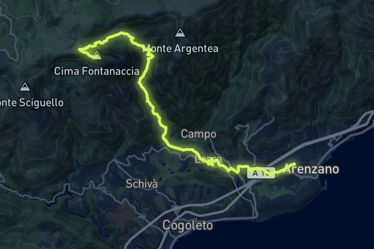
Demanding · Summit
Arenzano-Lerca-Monte Rama
21.0 km · ↑ 1315 m · 7 h 48 min · under 1 km away
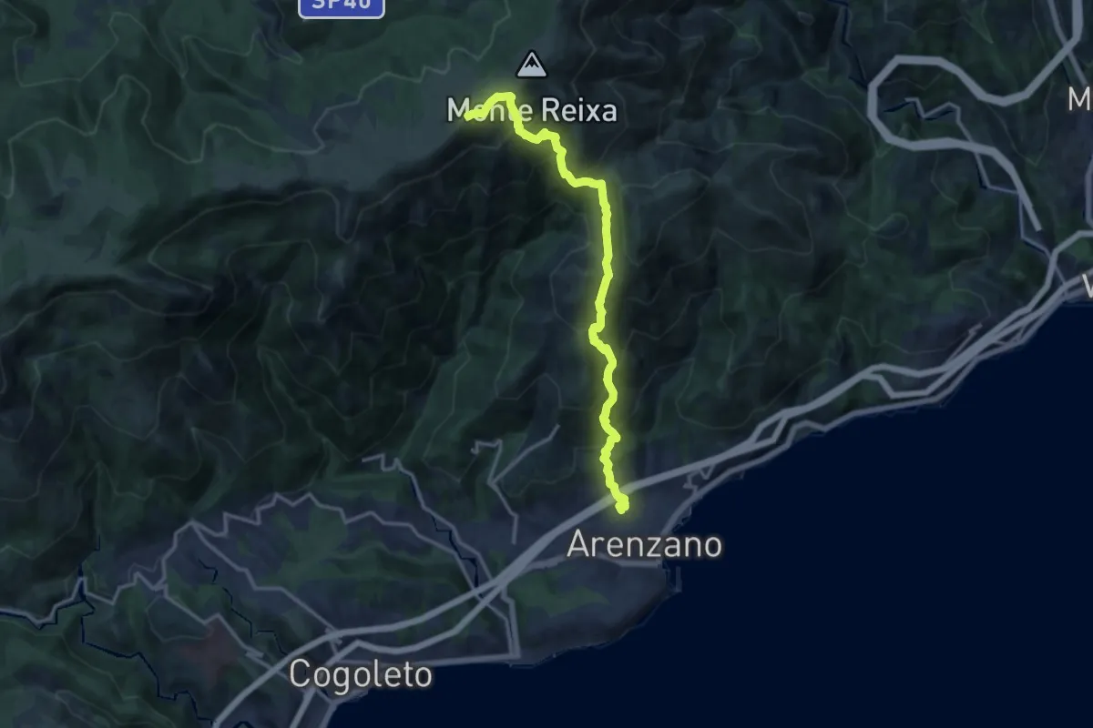
Demanding · Summit
Arenzano - Rocca Vaccaria
14.1 km · ↑ 1239 m · 6 h 1 min · under 1 km away
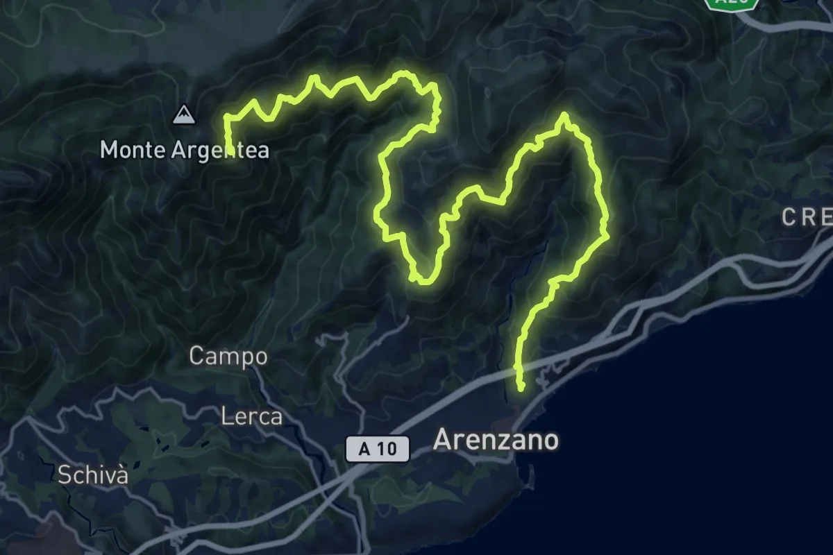
Demanding · Summit
Anello di Arenzano
28.3 km · ↑ 2208 m · 11 h 27 min · 1 km away
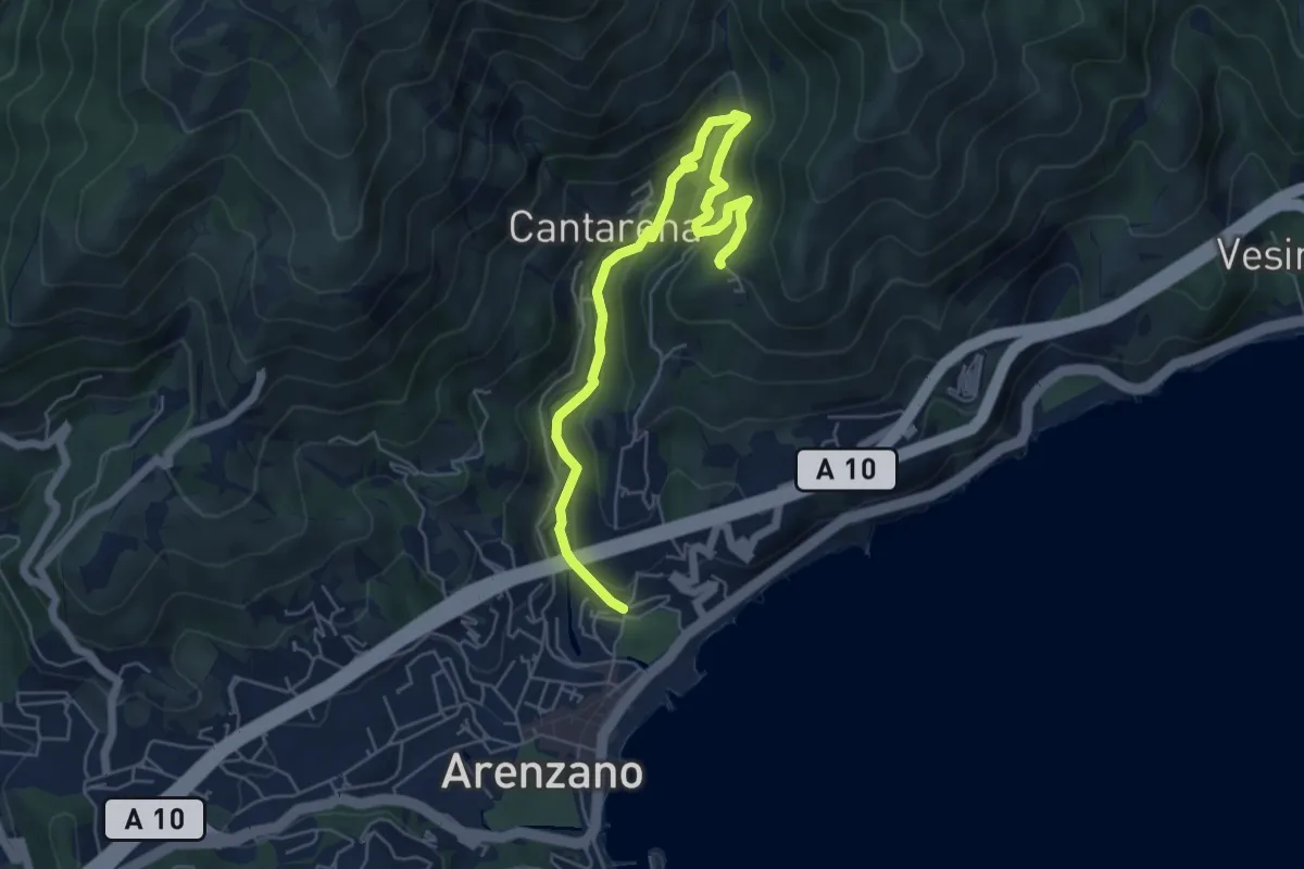
Medium · Trail
Santuario delle Olivete - Case Casuin
6.3 km · ↑ 412 m · 2 h 23 min · 1 km away
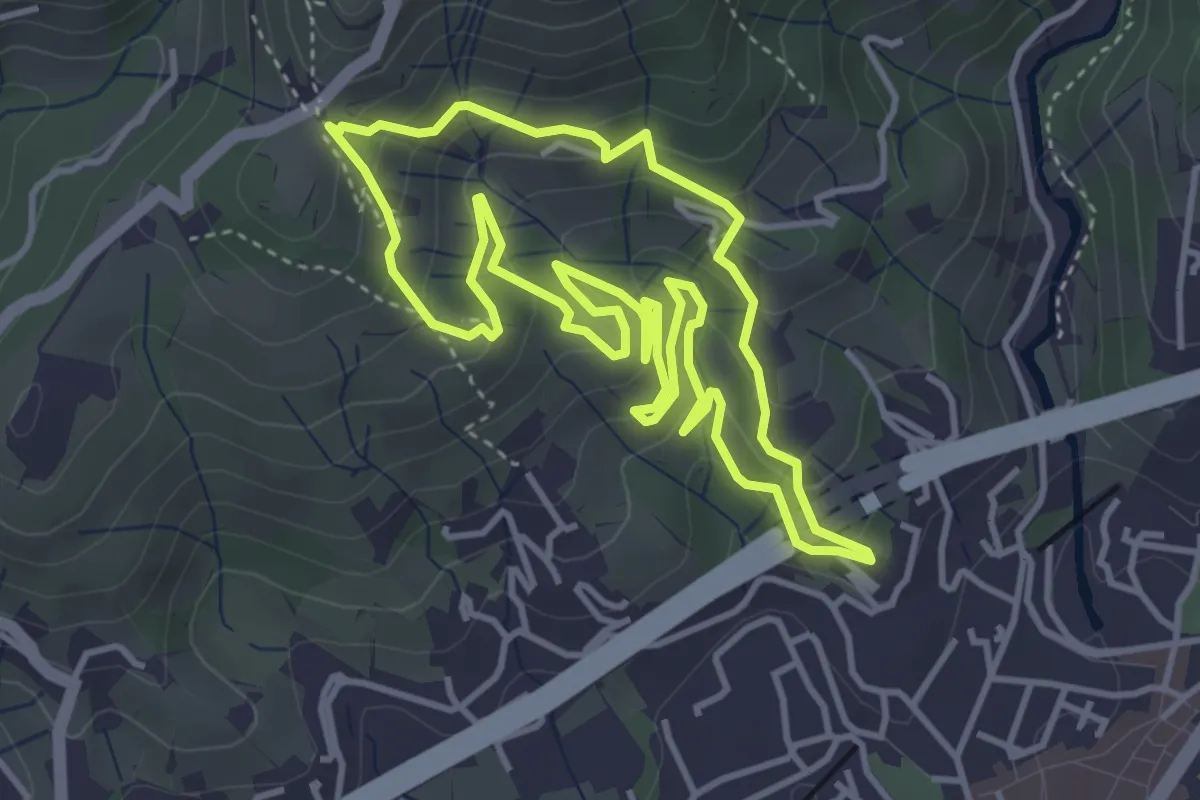
Medium · Summit
Sentiero degli Inglesi
4.3 km · ↑ 299 m · 1 h 43 min · 1 km away
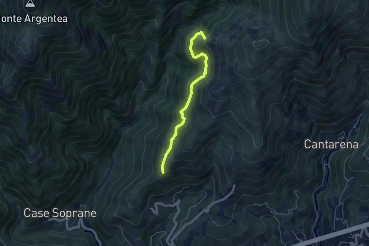
Medium · Summit
Passo Figu – Passo Gua
4.5 km · ↑ 308 m · 1 h 44 min · 2 km away
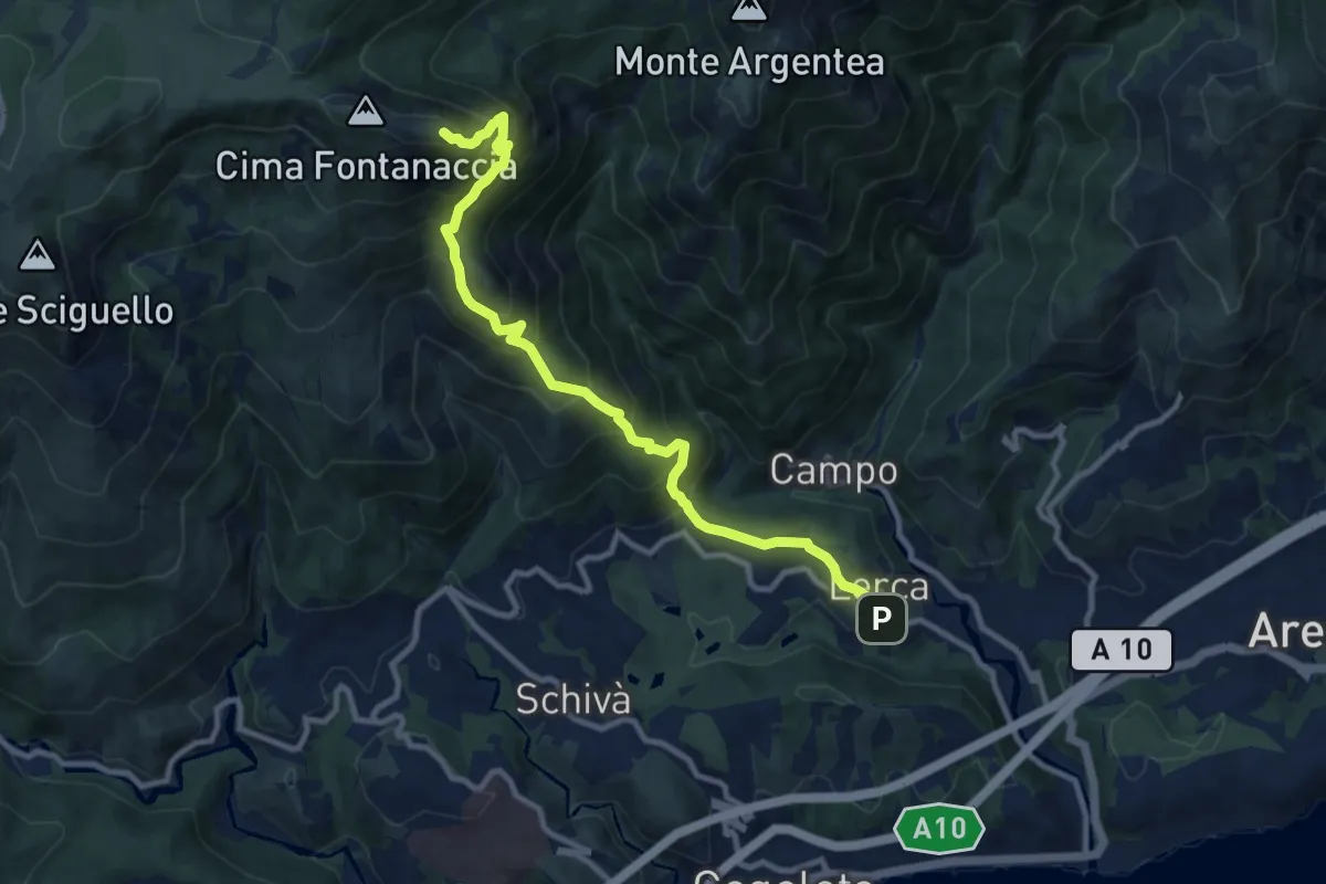
Demanding · Summit
Lerca – Monte Rama
10.8 km · ↑ 1094 m · 4 h 55 min · 3 km away
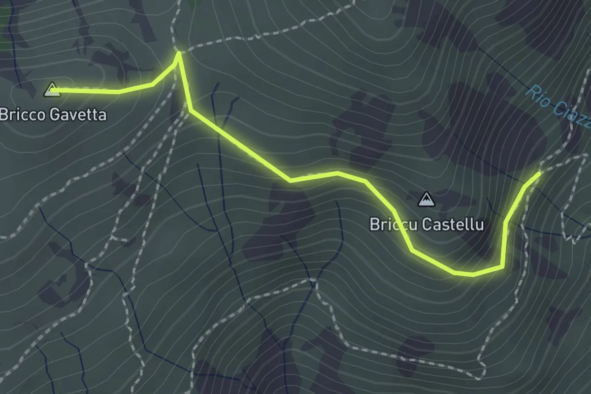
Medium · Summit
Sentiero A - Bric Gavetta
2.2 km · ↑ 163 m · 53 min · 3 km away
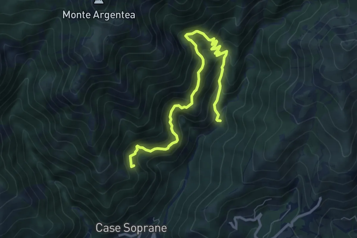
Demanding · Summit
Sentiero dell'Ingegnere
8.3 km · ↑ 881 m · 3 h 53 min · 3 km away
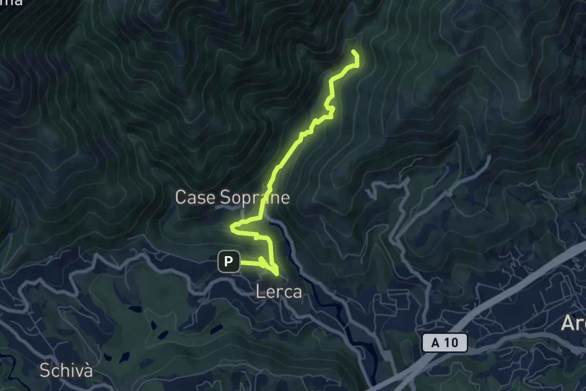
Medium · Trail
S. Anna – Ponte Negrone
6.6 km · ↑ 280 m · 2 h 11 min · 3 km away
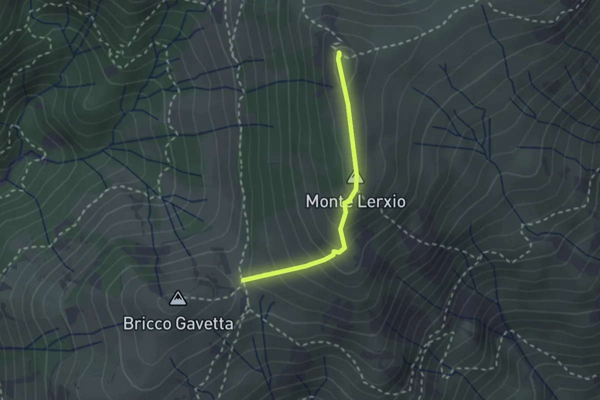
Medium · Summit
Passo della Gavetta - Passo dei Tardia
2.0 km · ↑ 188 m · 53 min · 3 km away
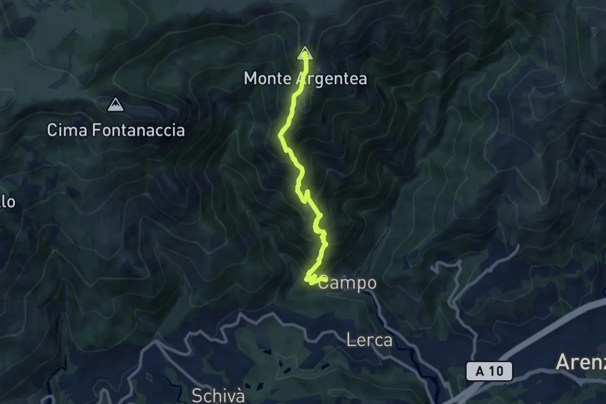
Demanding · Summit
Sentiero Stella Bianca (Case Soprane - Monte Argentea)
7.8 km · ↑ 965 m · 3 h 55 min · 3 km away
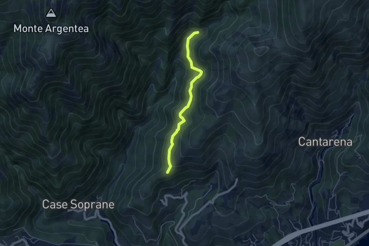
Medium · Summit
Agueta – Lago della Tina
4.5 km · ↑ 296 m · 1 h 42 min · 4 km away
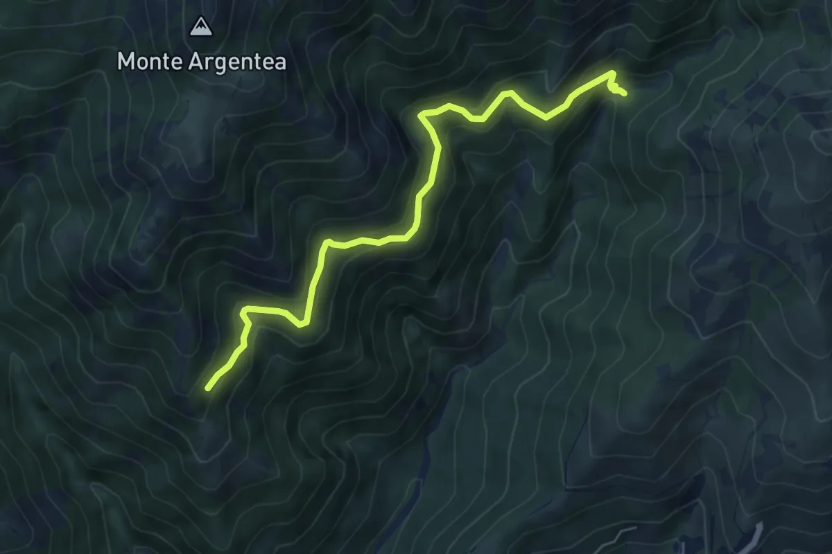
Demanding · Trail
Gua dall'Omu – Passo do Figu
6.4 km · ↑ 531 m · 2 h 40 min · 4 km away
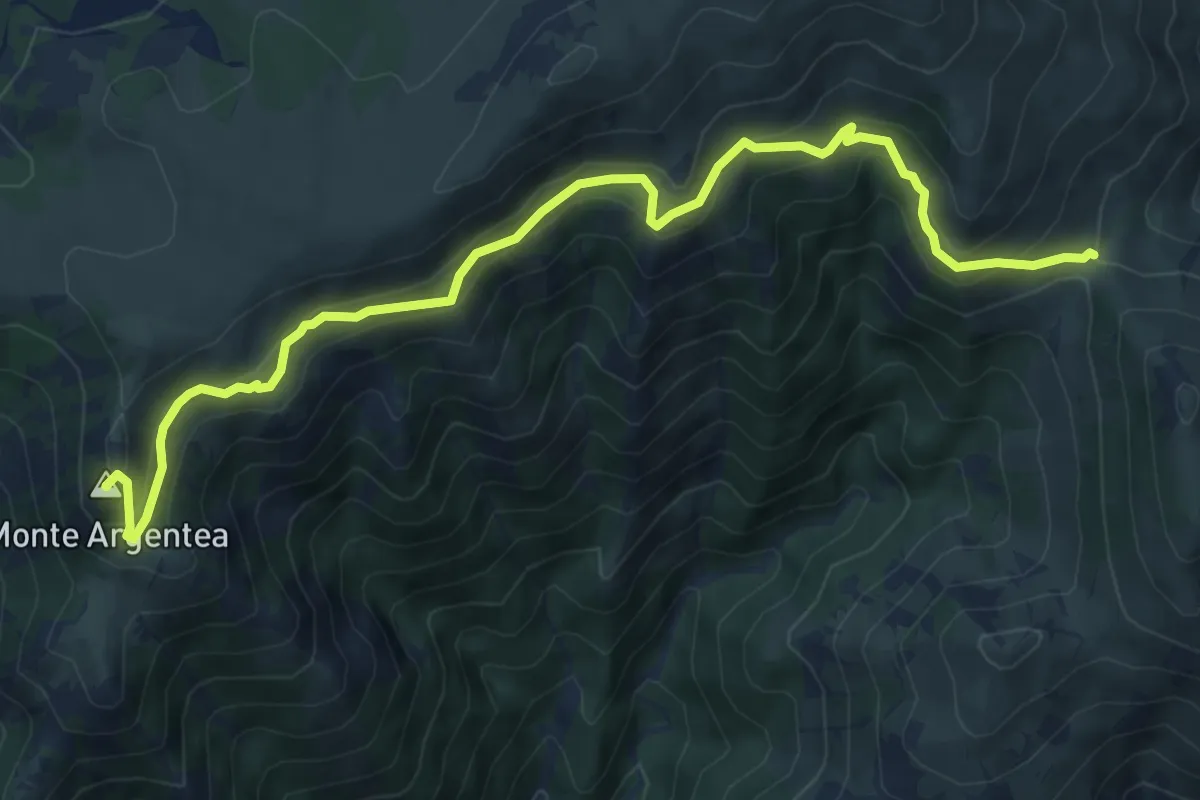
Medium · Summit
Passo della Gava - Monte Argentea
9.0 km · ↑ 623 m · 3 h 28 min · 4 km away
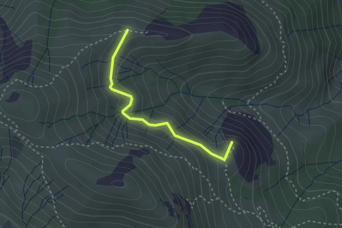
Medium · Summit
Costa dei Gatti - Rocche du Prou Ballou - X rossa
2.3 km · ↑ 190 m · 58 min · 5 km away
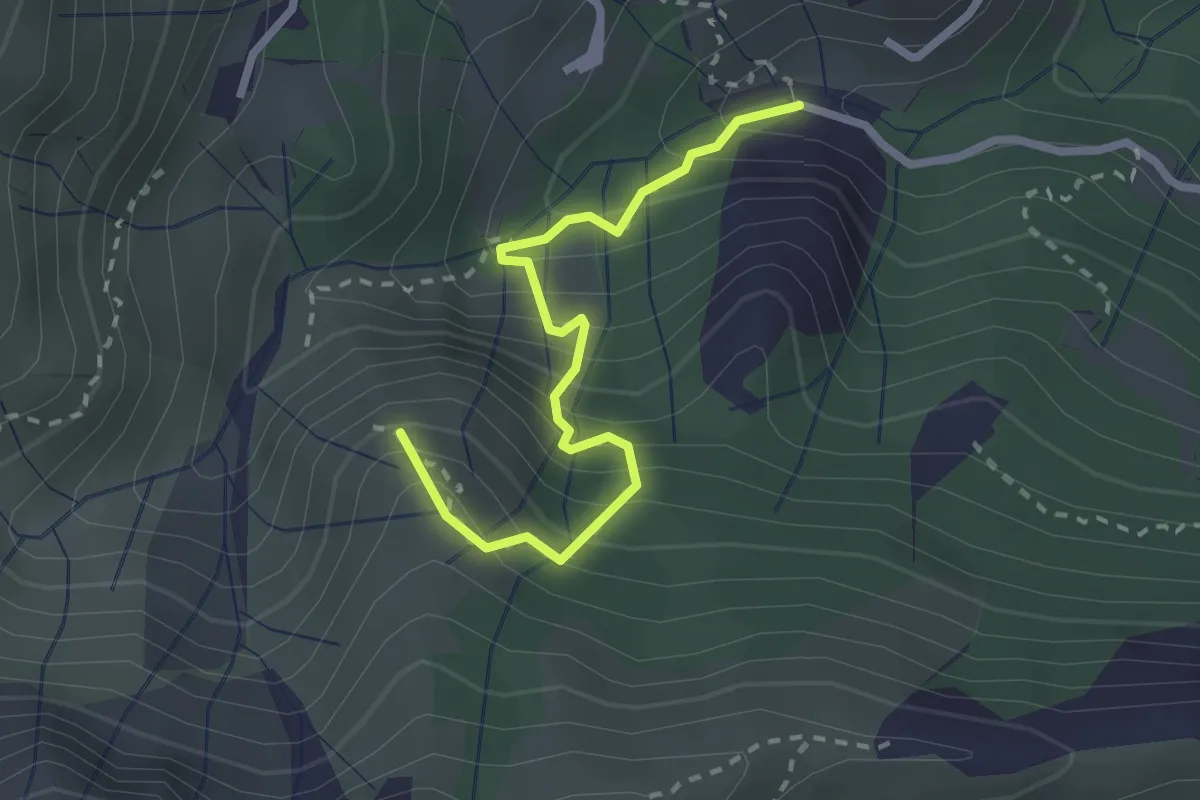
Medium · Summit
Via Sambugo - Rocca du Fo - Costa dei Gatti
2.6 km · ↑ 360 m · 1 h 23 min · 5 km away
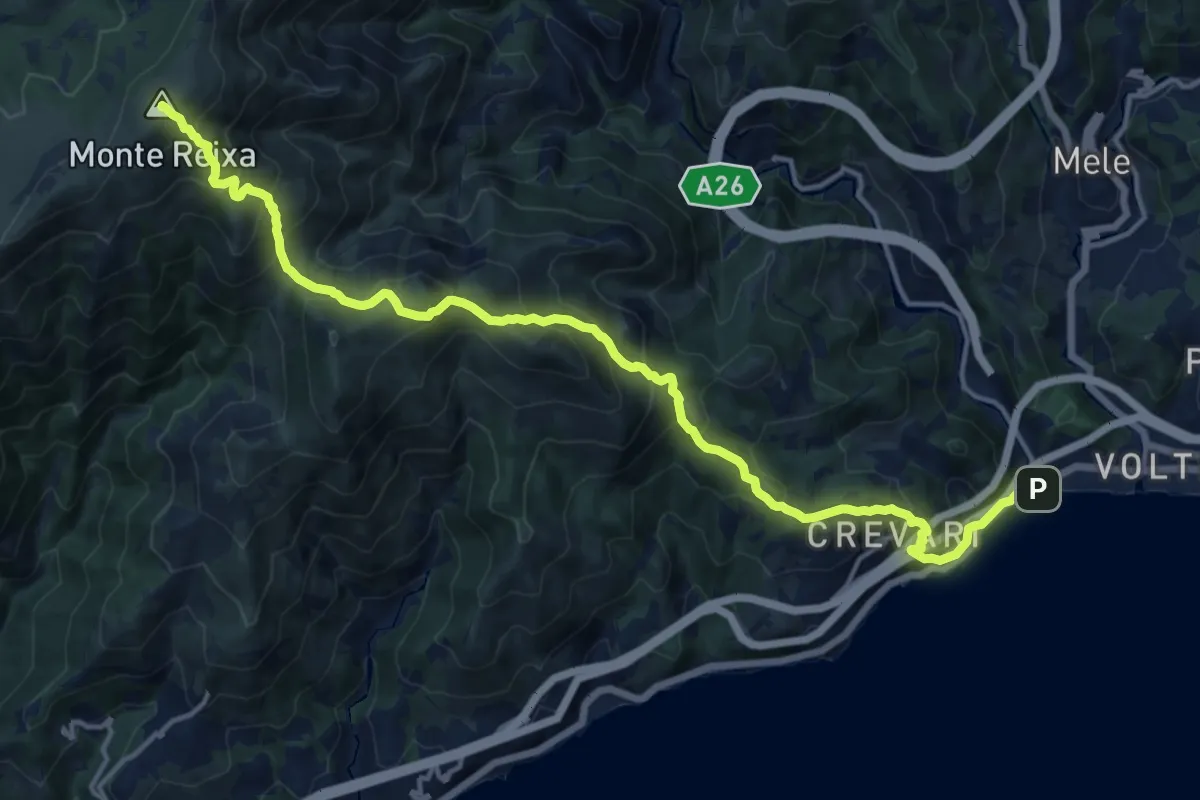
Demanding · Summit
Voltri – Monte Reixa
17.4 km · ↑ 1414 m · 7 h 10 min · 6 km away
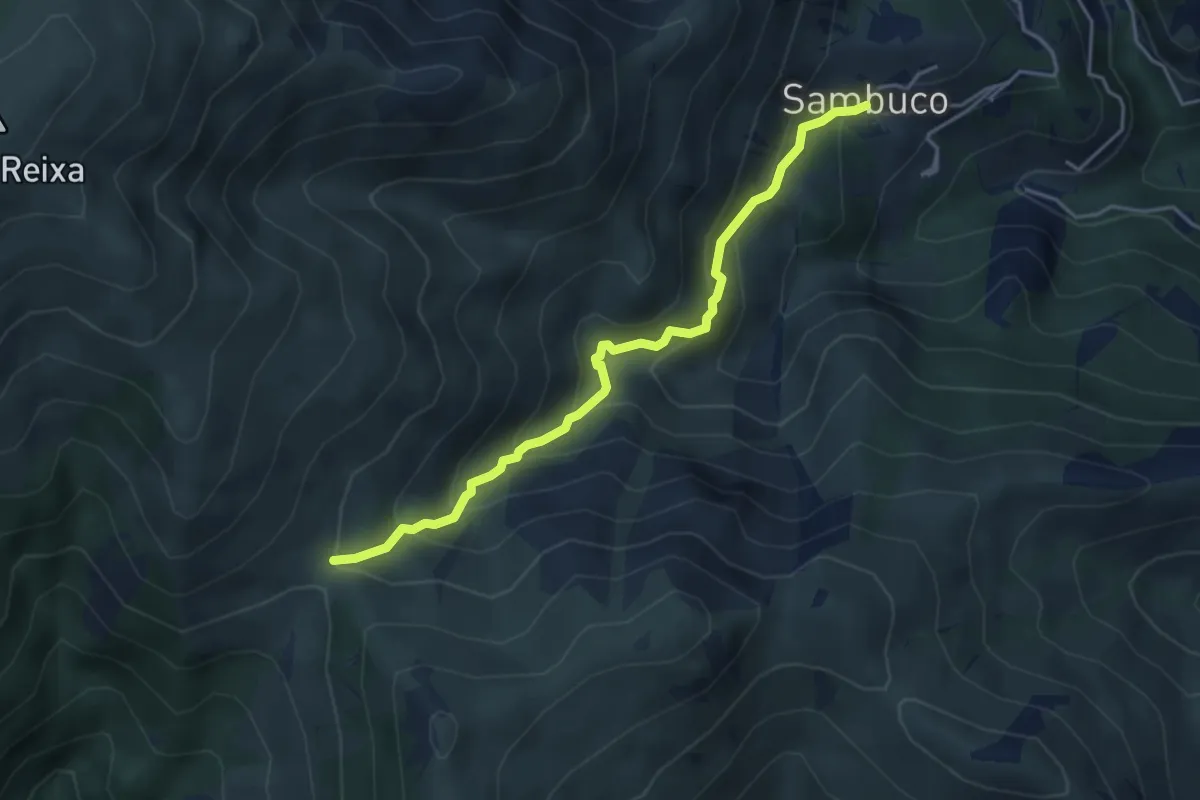
Medium · Trail
Sambuco - Passo della Gava
4.3 km · ↑ 360 m · 1 h 48 min · 6 km away
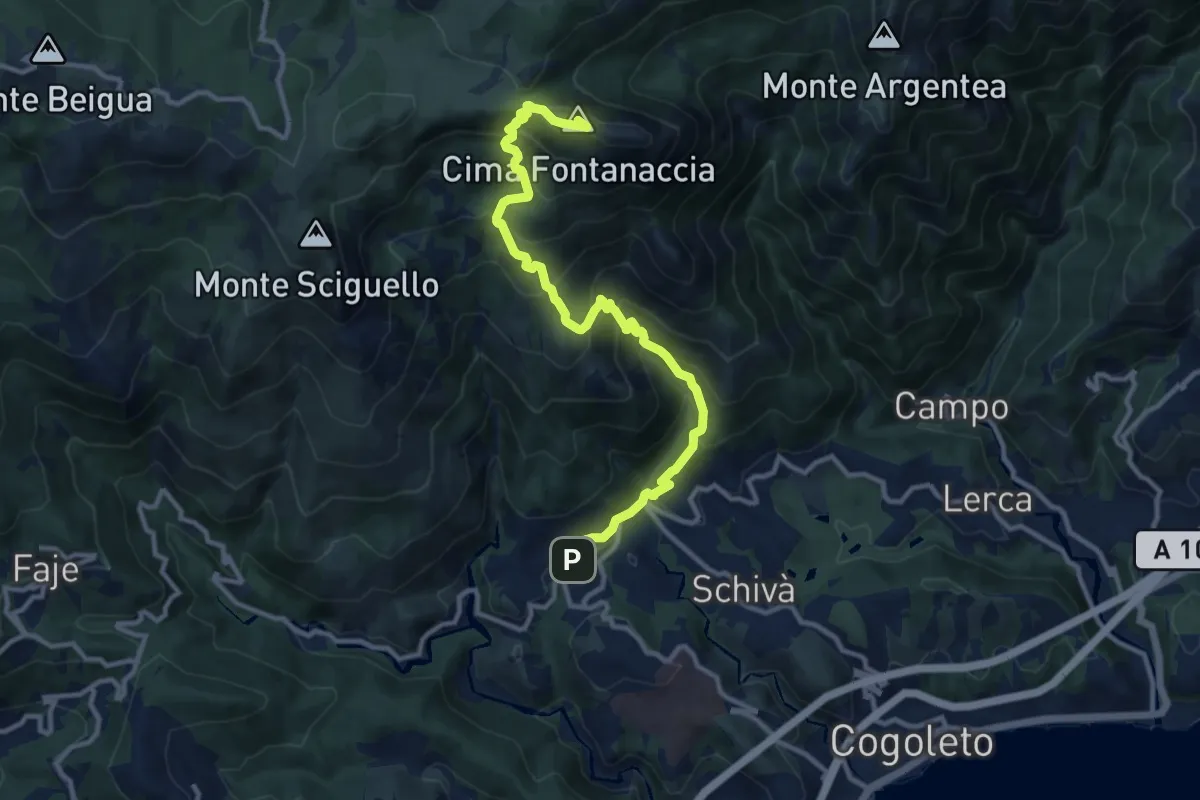
Demanding · Summit
Sciarborasca – Monte Rama
12.3 km · ↑ 998 m · 5 h 4 min · 6 km away
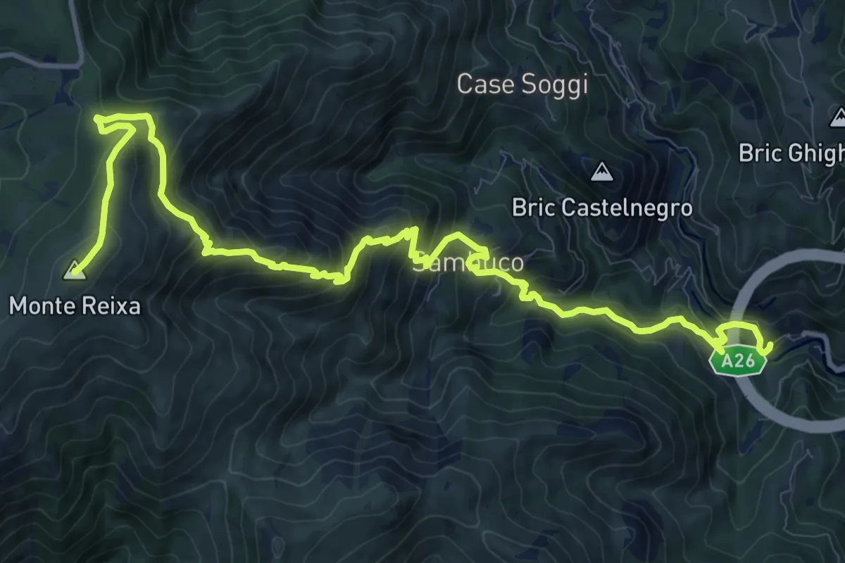
Demanding · Summit
Fabbriche - Sambuco - Monte Reixa
15.5 km · ↑ 1157 m · 6 h 10 min · 6 km away
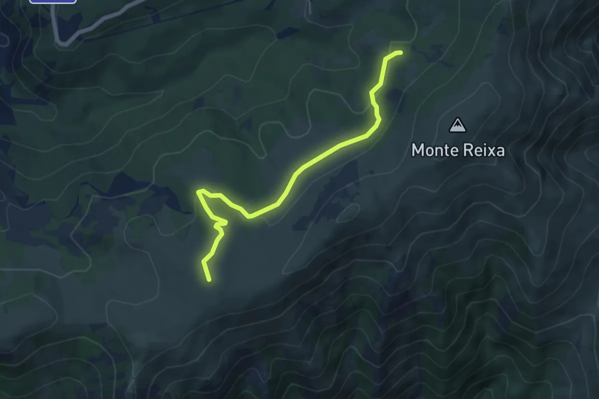
Easy · Summit
Case Tassara - Rifugio Argentea
5.5 km · ↑ 143 m · 1 h 36 min · 6 km away
Medium · Trail
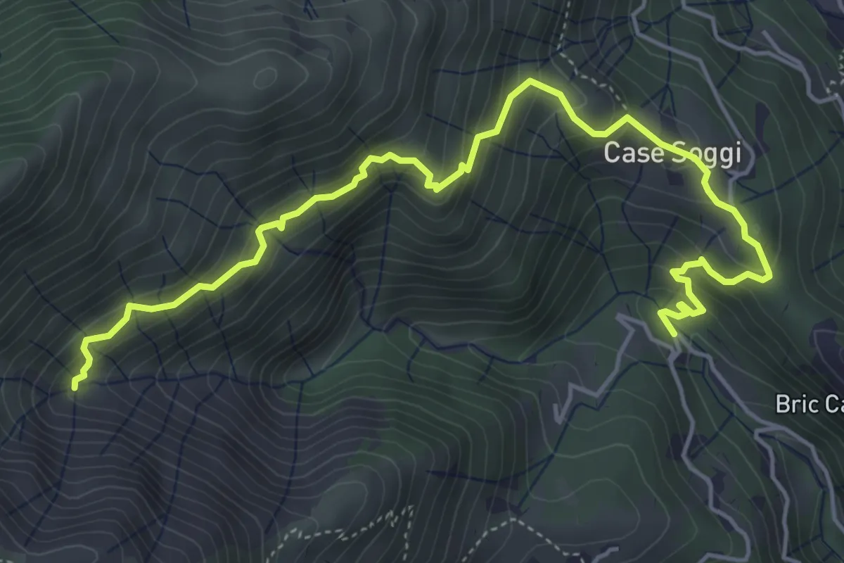
Sentiero Pro Canyon - Rio Secco
6.3 km · ↑ 504 m · 2 h 34 min · 6 km away
Medium · Summit
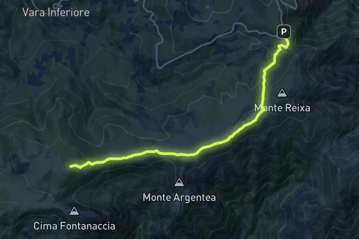
Prato Rotondo - Passo del Faiallo
13.0 km · ↑ 493 m · 4 h 9 min · 7 km away
Demanding · Trail
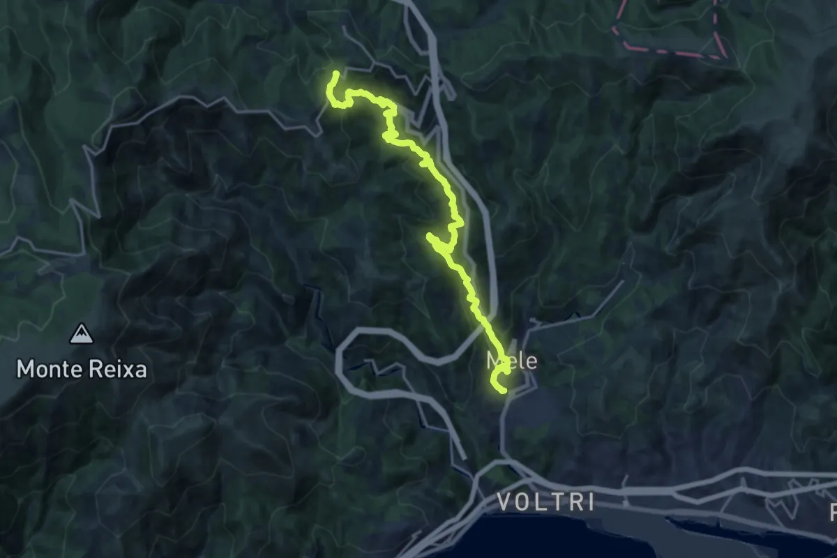
Fondocrosa – Valico di Favin
18.4 km · ↑ 1050 m · 6 h 37 min · 7 km away
Medium · Trail
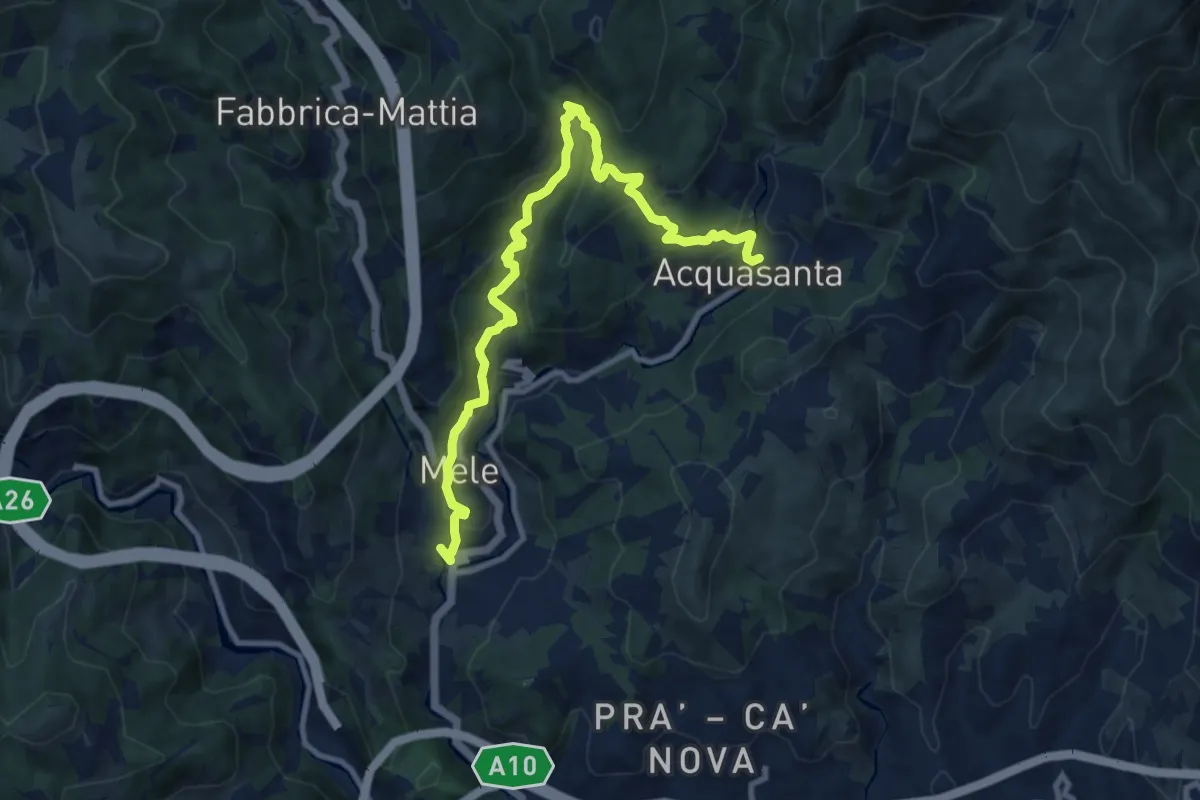
Fondocrosa – Santuario dell'Acquasanta
11.5 km · ↑ 570 m · 3 h 58 min · 7 km away
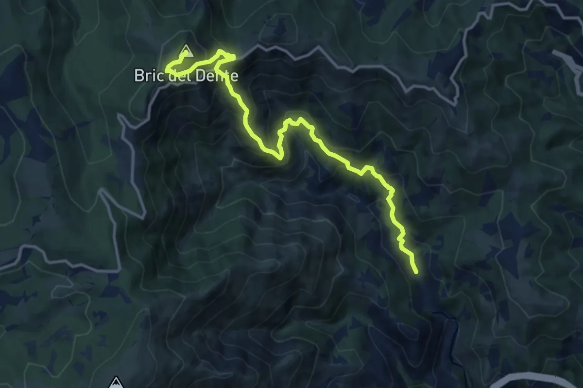
Demanding · Summit
Fiorino – Bric del Dente
11.6 km · ↑ 998 m · 4 h 54 min · 7 km away
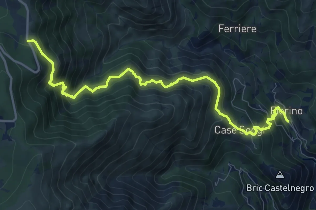
Demanding · Trail
Fiorino - Passo Cerusa
10.2 km · ↑ 1054 m · 4 h 42 min · 8 km away
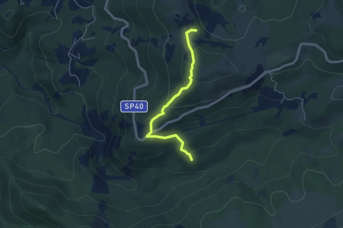
Easy · Summit
Manfrei - Fossa Grande
3.9 km · ↑ 231 m · 1 h 25 min · 8 km away
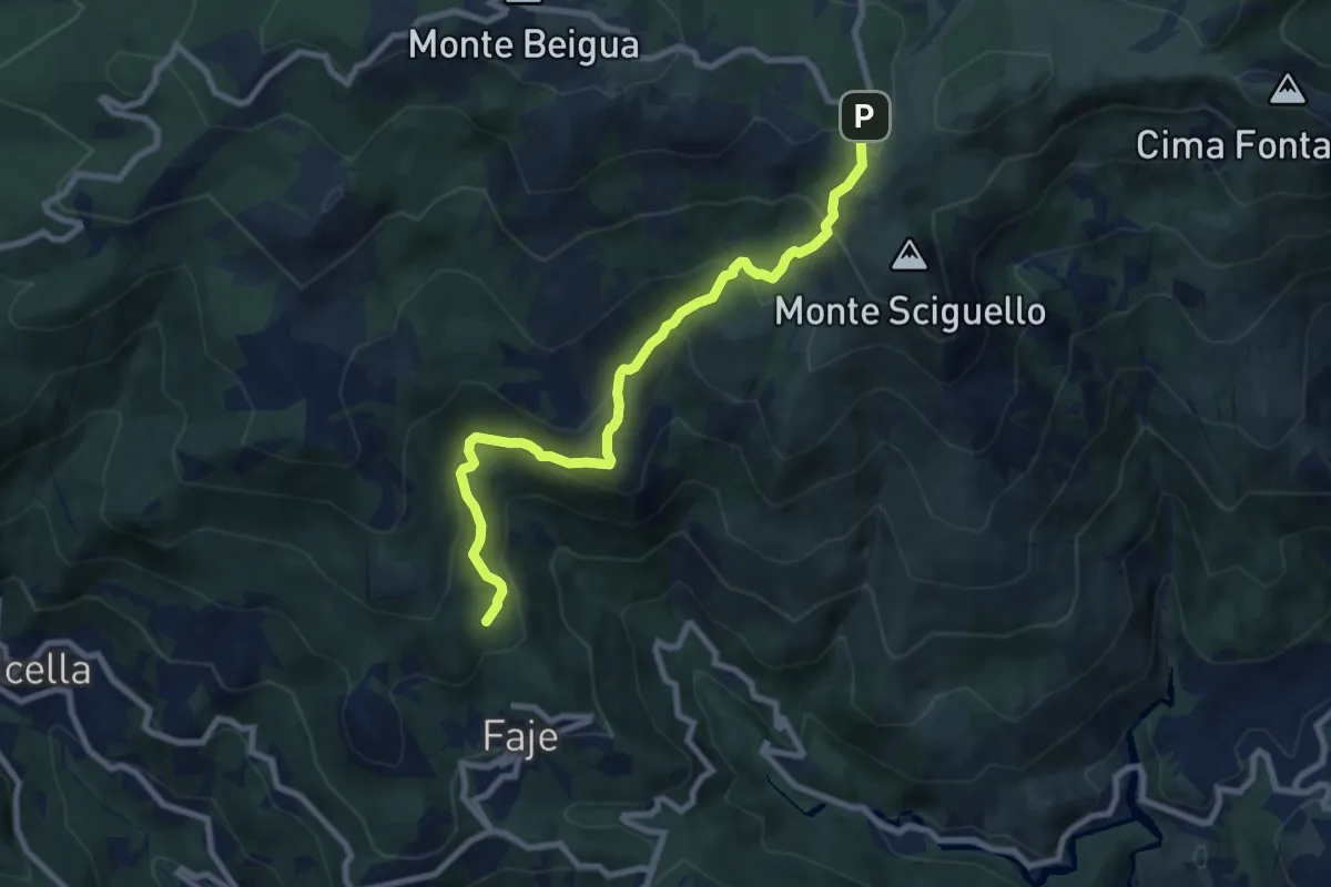
Medium · Summit
Chiesa delle Faie – Pratorotondo
8.7 km · ↑ 528 m · 3 h 11 min · 8 km away
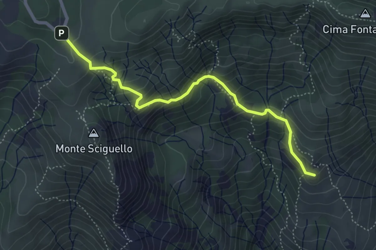
Medium · Summit
Sciarborasca – Prato Rotondo
5.2 km · ↑ 400 m · 2 h 6 min · 8 km away
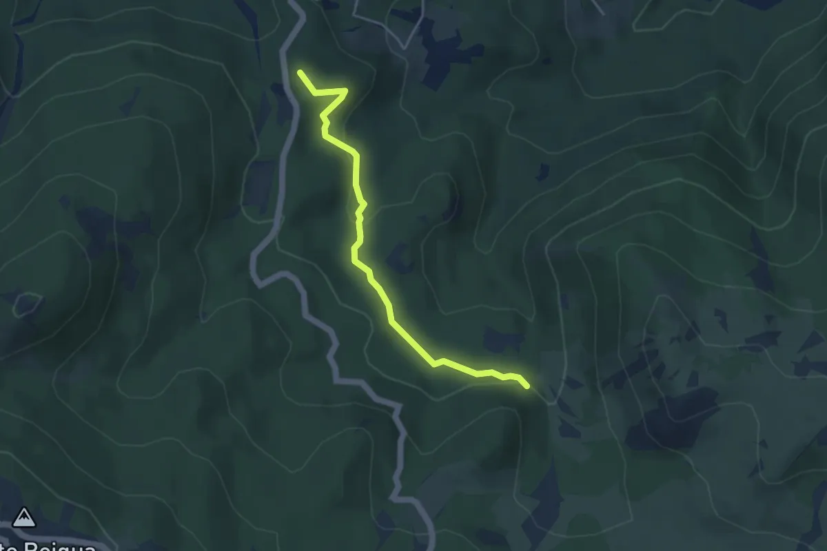
Easy · Summit
Lago della Biscia – Torbiera del Laione
4.1 km · ↑ 115 m · 1 h 12 min · 8 km away
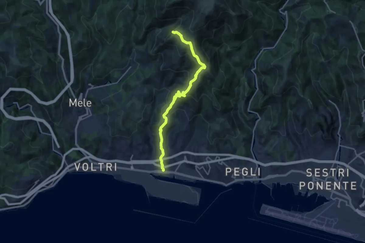
Demanding · Summit
Prà - Cappellina Baiarda
13.6 km · ↑ 899 m · 5 h 10 min · 8 km away
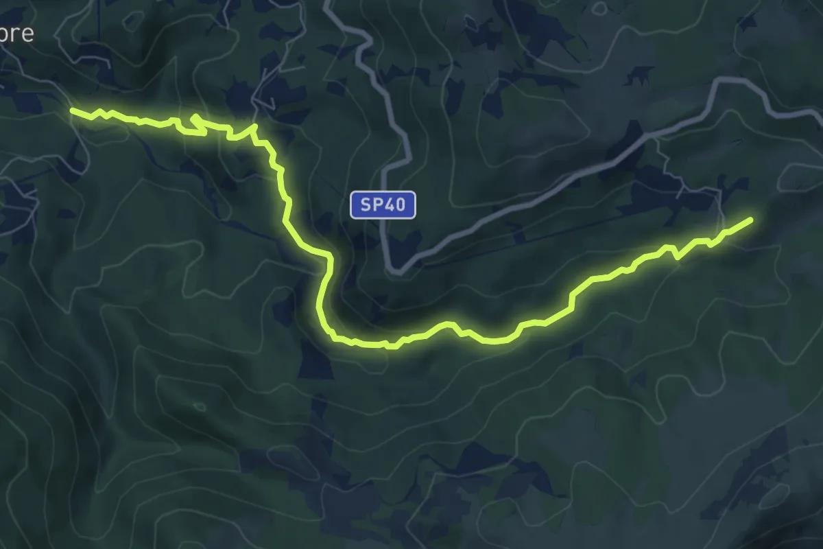
Demanding · Summit
Ponte sull'Orba - Albergo Faiallo
9.7 km · ↑ 482 m · 3 h 20 min · 9 km away
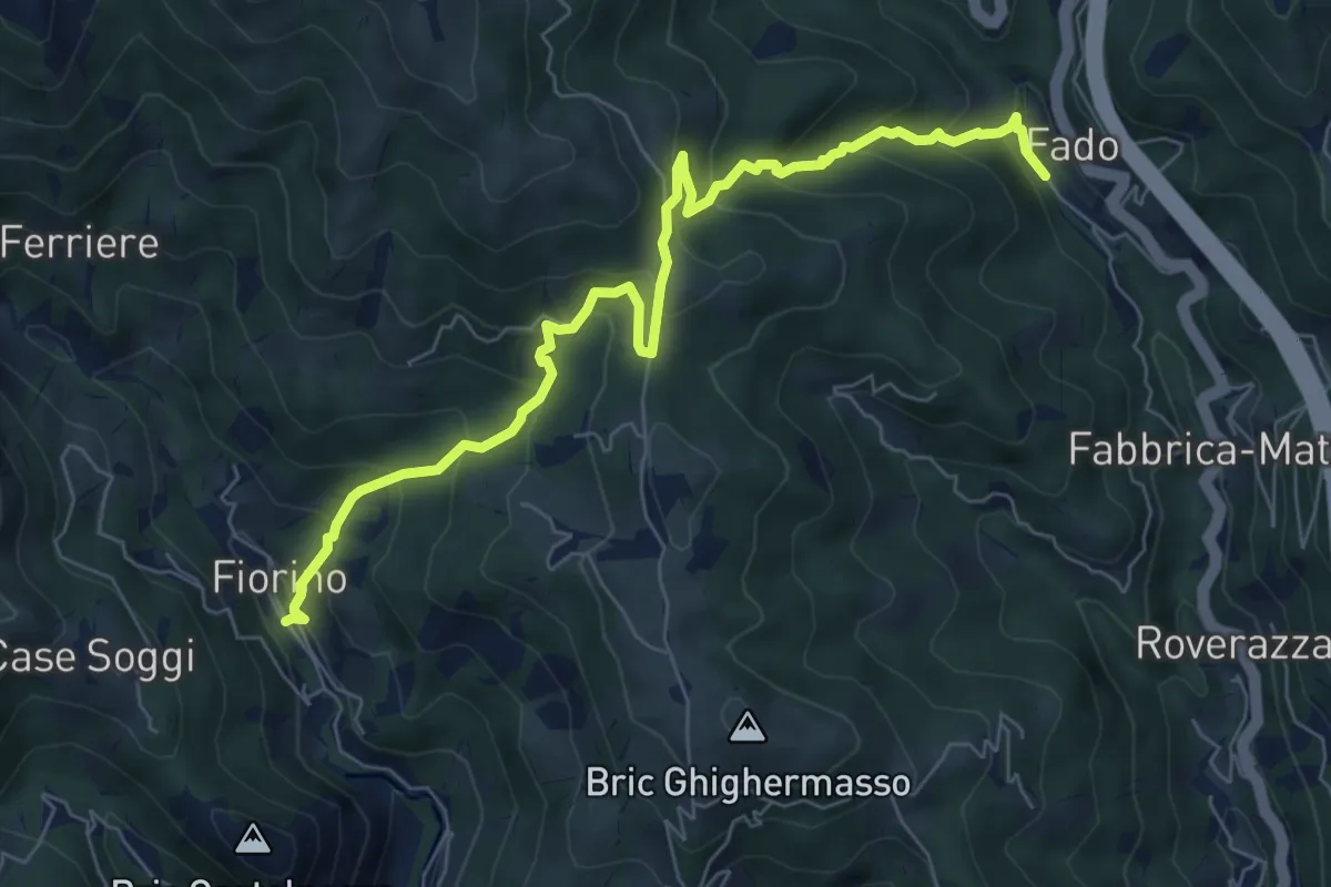
Demanding · Trail
Stazione di Mele-Canellona-Fiorino
7.8 km · ↑ 606 m · 3 h 10 min · 9 km away
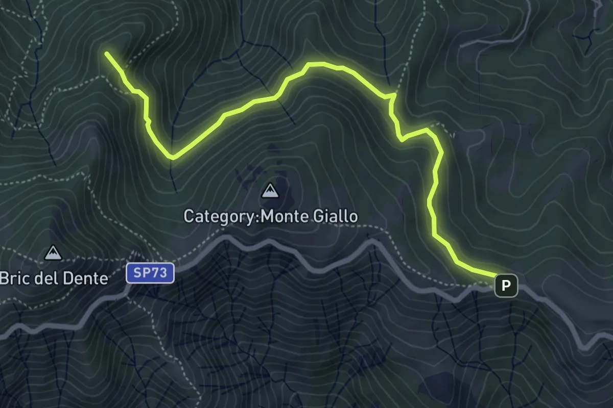
Medium · Summit
Cascina Troia – Aurucchi
5.9 km · ↑ 311 m · 2 h 4 min · 9 km away
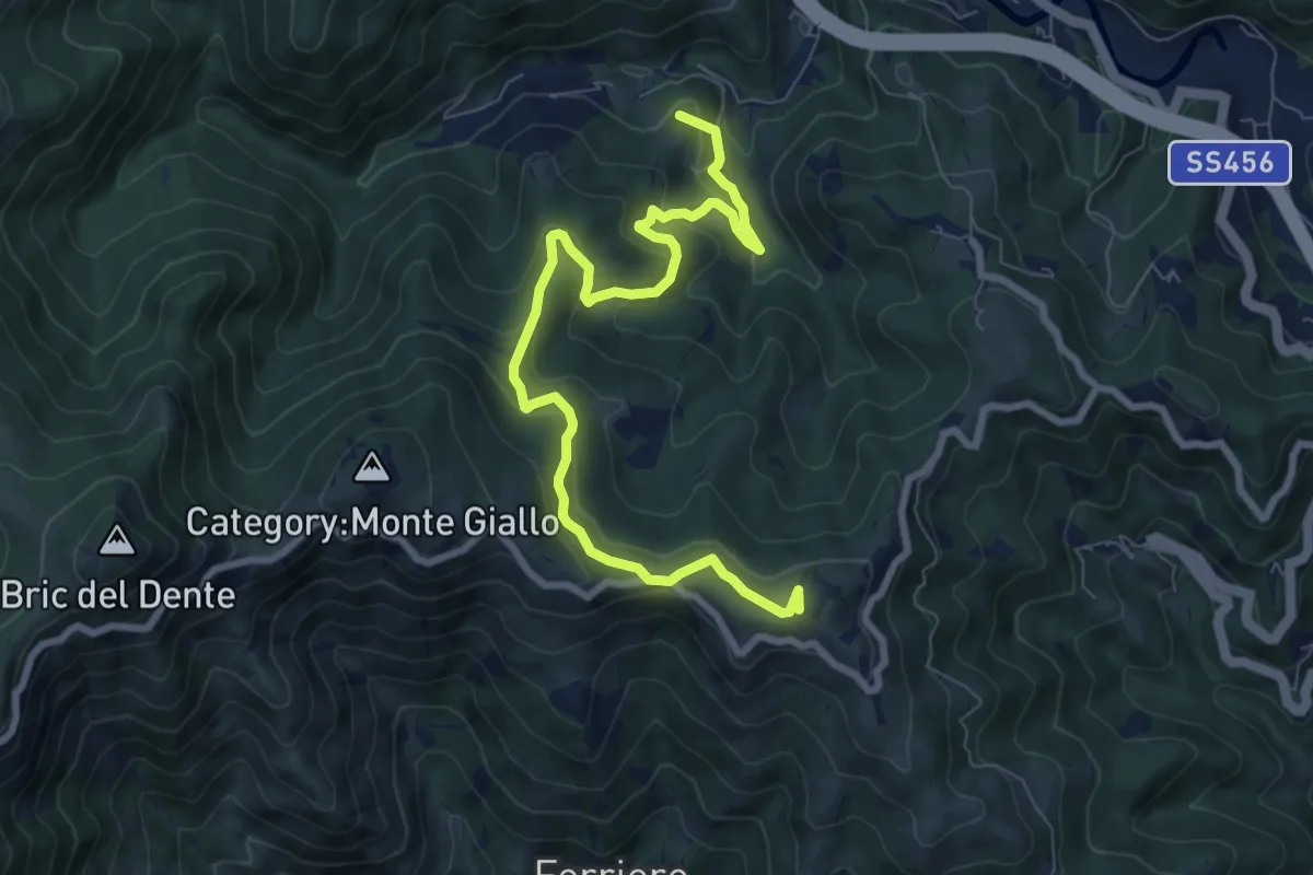
Medium · Summit
Masone-Bric Geremia
9.4 km · ↑ 476 m · 3 h 15 min · 9 km away
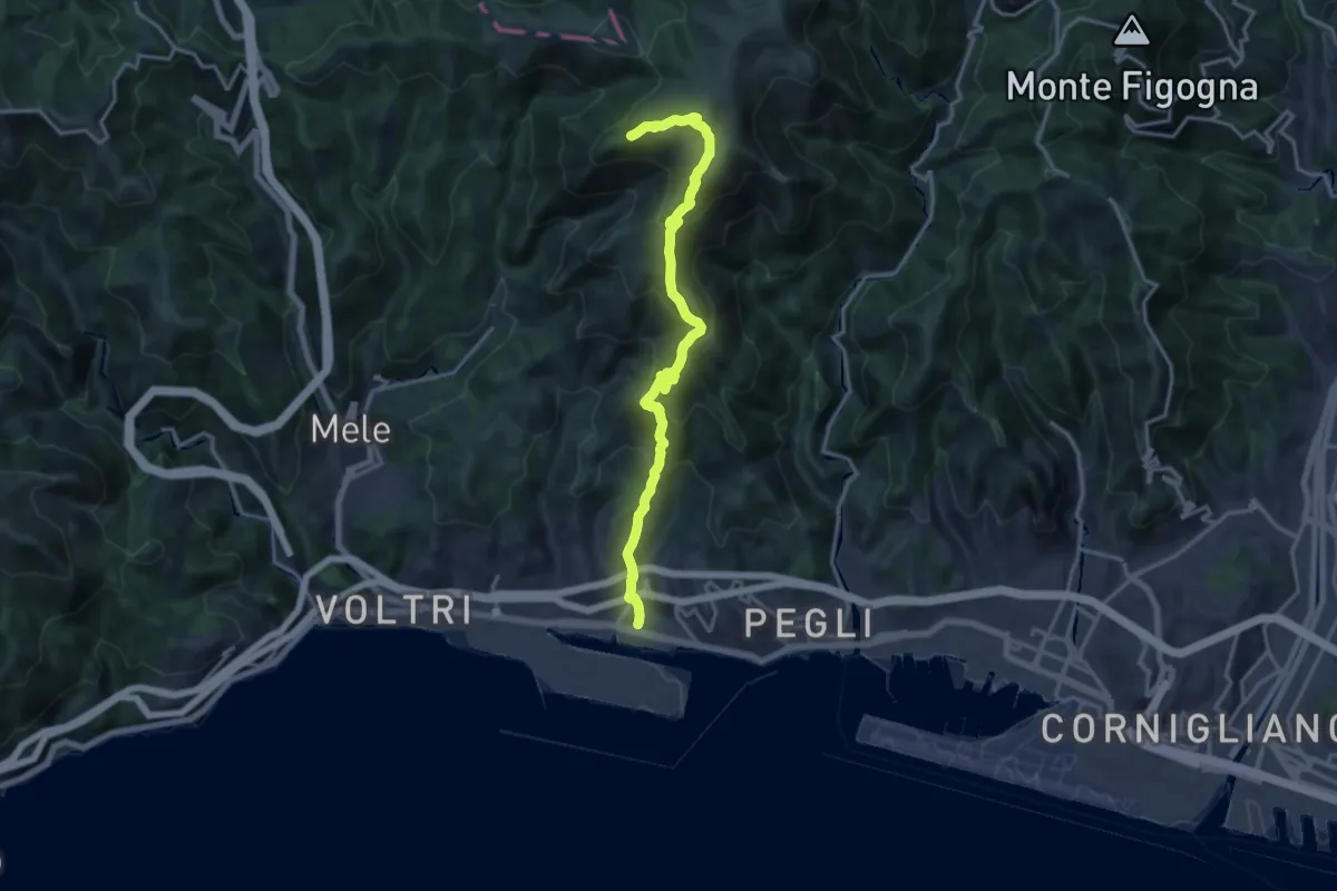
Demanding · Summit
Prà – Punta Martin
17.2 km · ↑ 1094 m · 6 h 26 min · 9 km away
Demanding · Summit
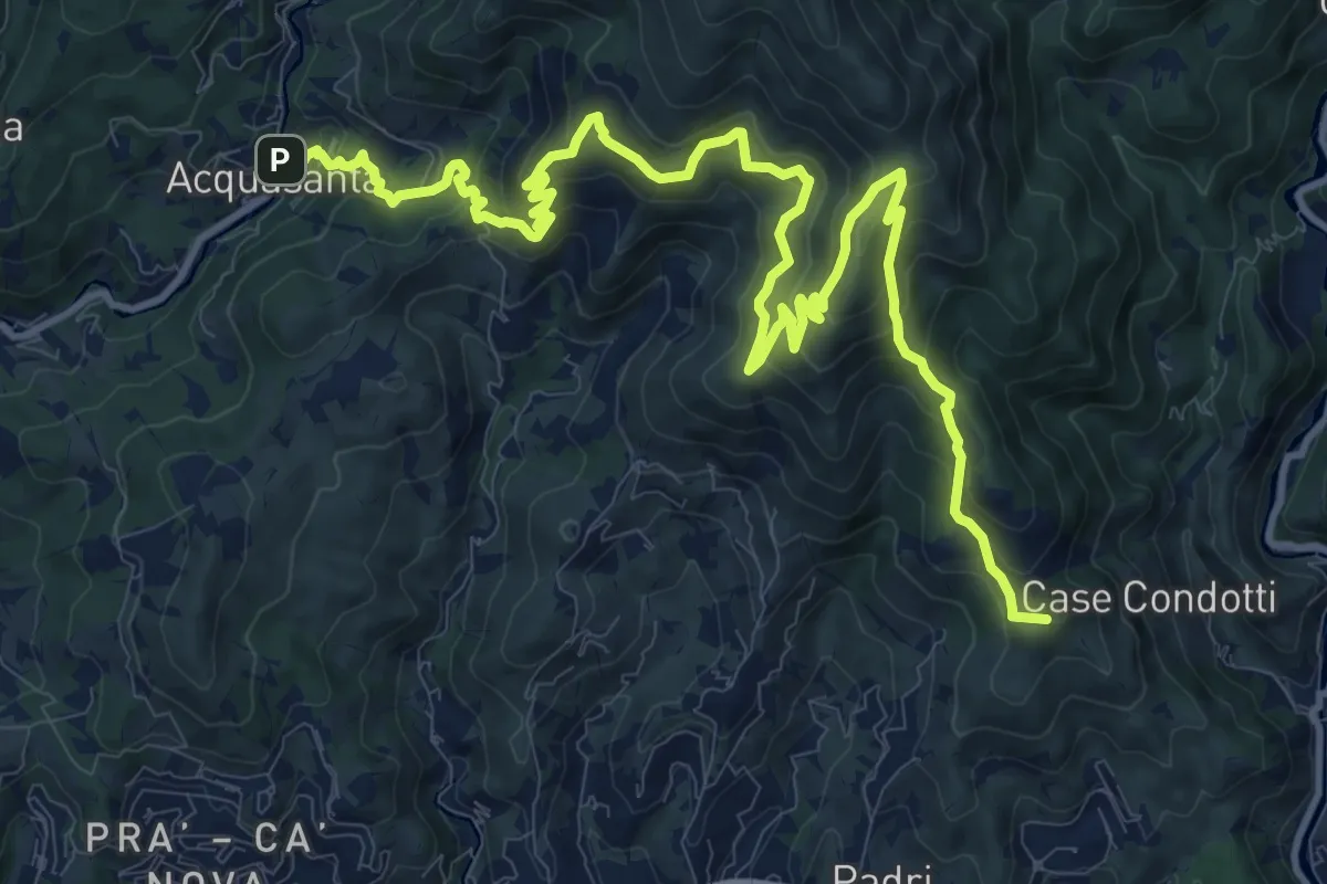
Sentiero Liguria - Tappa 13
16.8 km · ↑ 1189 m · 6 h 32 min · 9 km away
Demanding · Summit
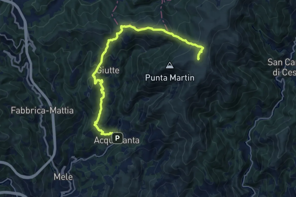
Acquasanta – Monte Penello
17.2 km · ↑ 947 m · 6 h 7 min · 9 km away
Demanding · Summit
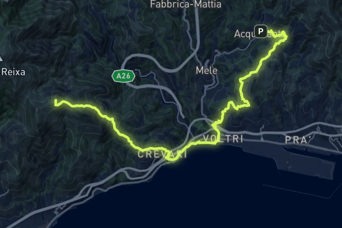
Sentiero Liguria - Tappa 14
28.3 km · ↑ 1506 m · 9 h 57 min · 9 km away
Medium · Trail
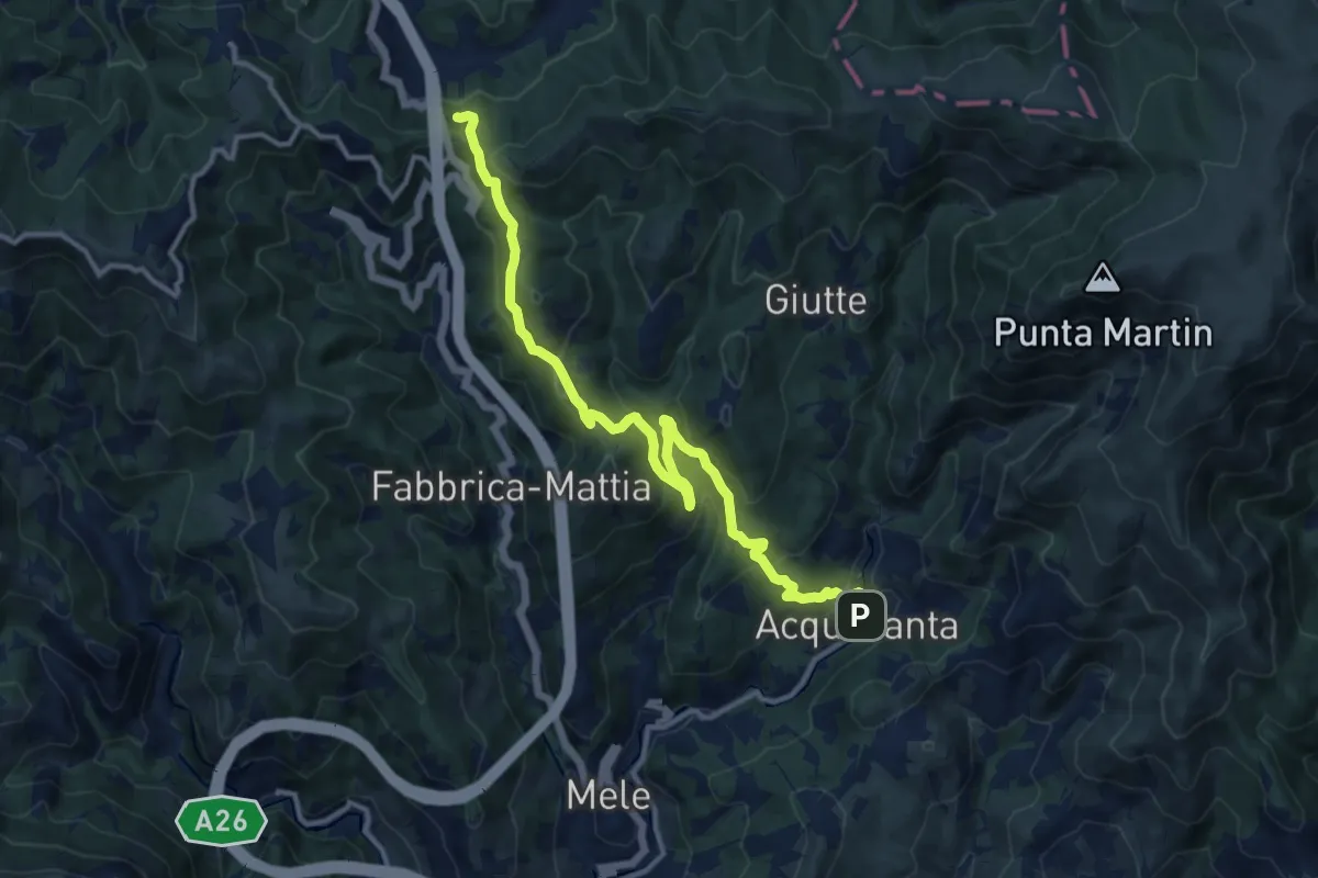
Acquasanta - Passo del Turchino
13.3 km · ↑ 680 m · 4 h 37 min · 9 km away
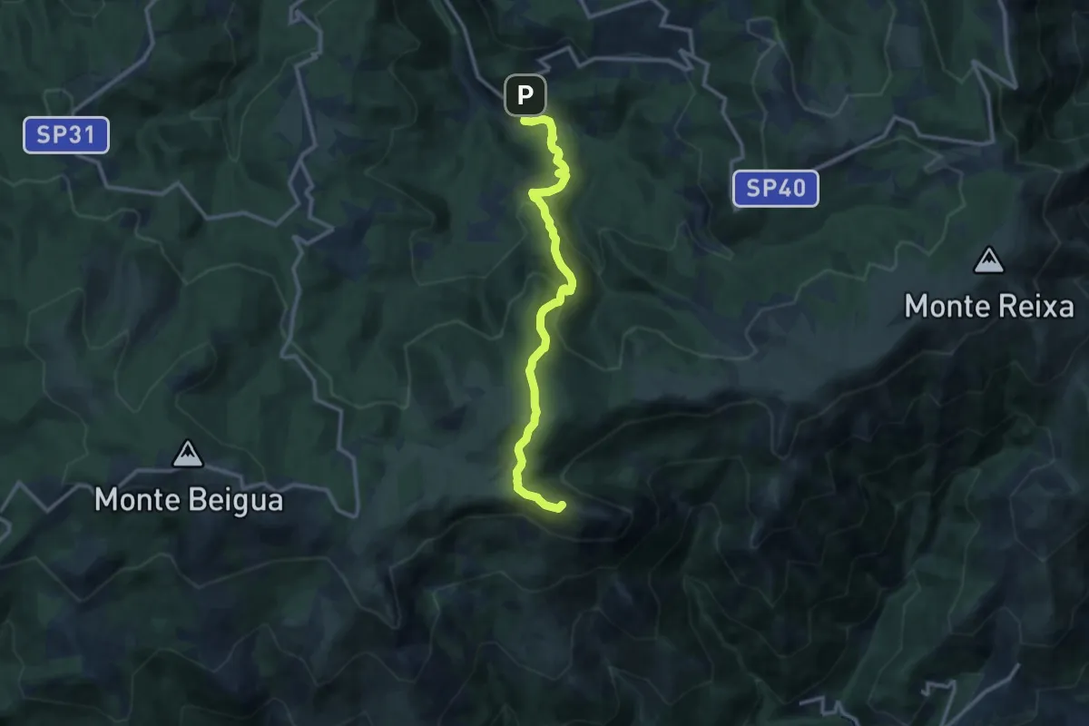
Medium · Summit
Vara Inferiore – Monte Rama
11.4 km · ↑ 706 m · 4 h 14 min · 9 km away
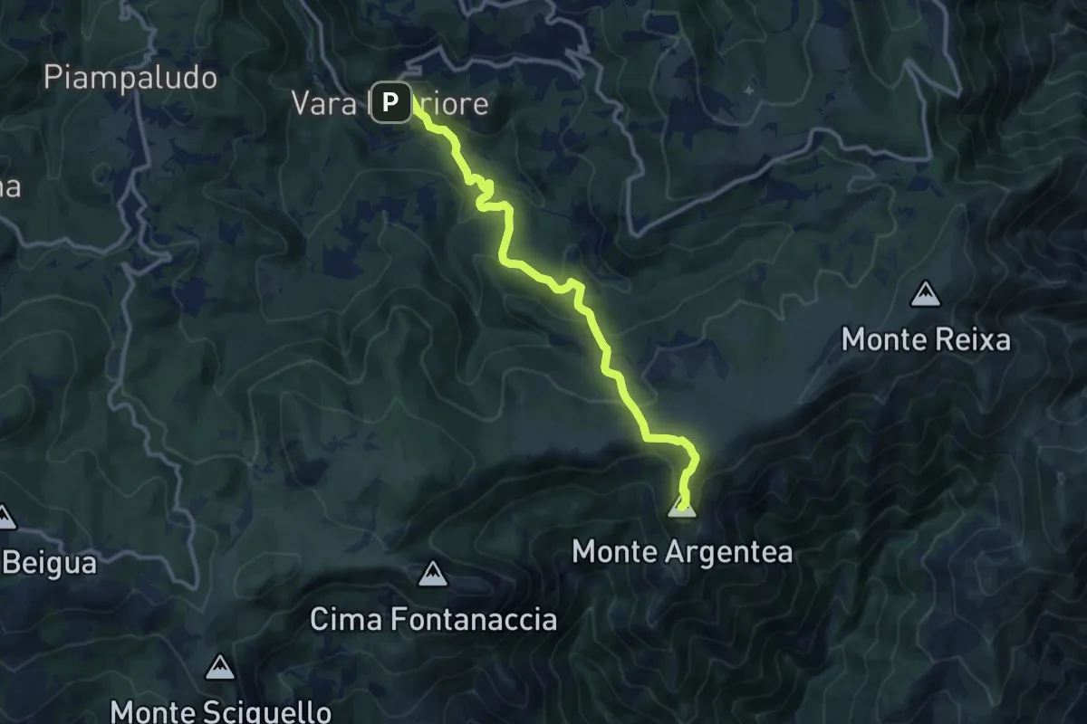
Medium · Summit
Vara Inferiore-Colla Pian di Lerca-Monte Argentea
5.7 km · ↑ 457 m · 2 h 14 min · 9 km away
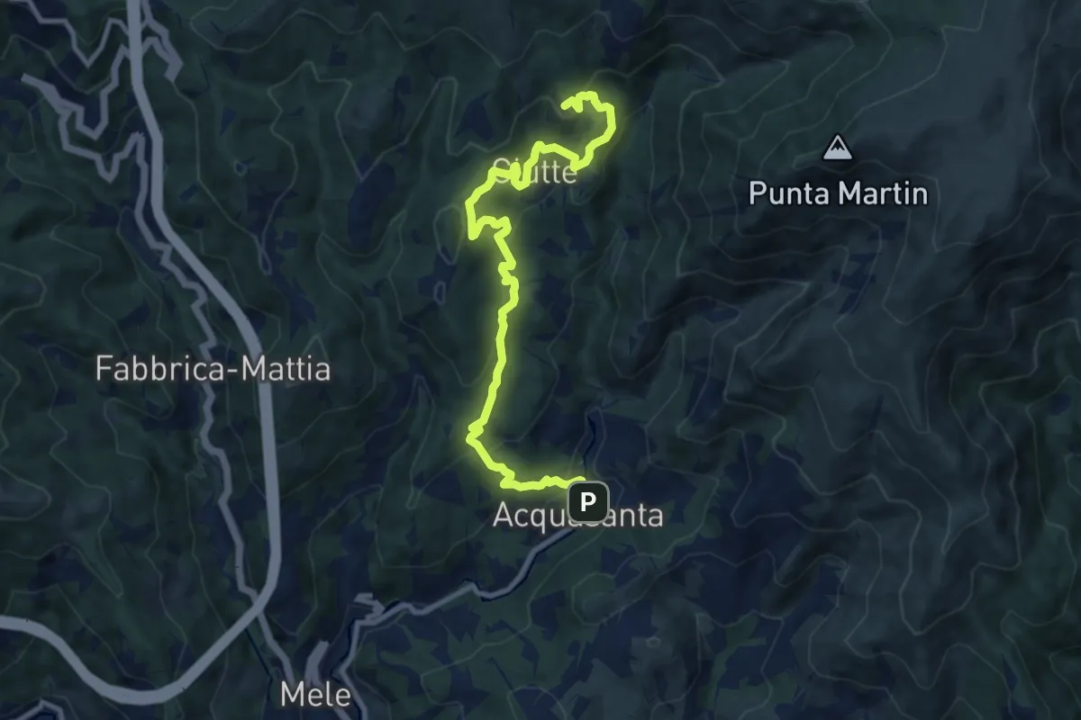
Medium · Summit
Santuario dell'Acquasanta – Pietra di Issel
11.1 km · ↑ 569 m · 3 h 52 min · 9 km away
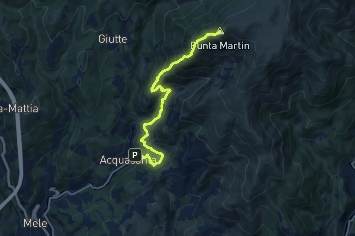
Expert · Summit
Acquasanta - Punta Martin
9.5 km · ↑ 923 m · 4 h 15 min · 9 km away