Trails near Arenzano
128 hikes starting within 15 km, nearest first.
Nearest first, page 2 of 3
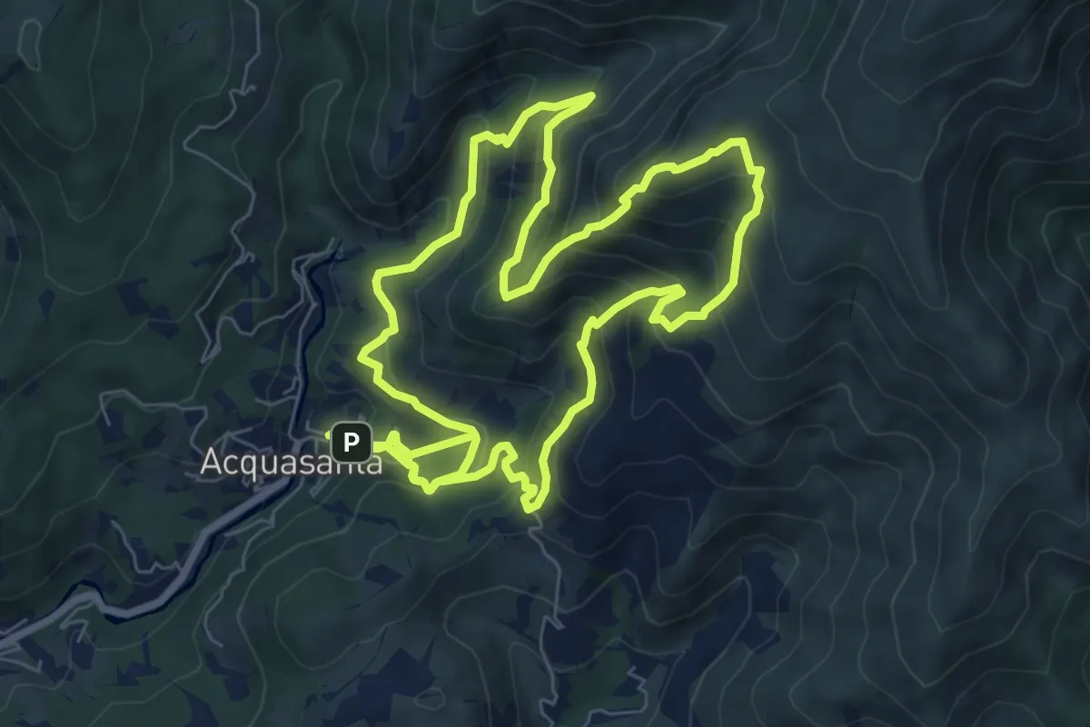
Demanding · Summit
Sentiero Frassati
8.4 km · ↑ 706 m · 3 h 37 min · 9 km away
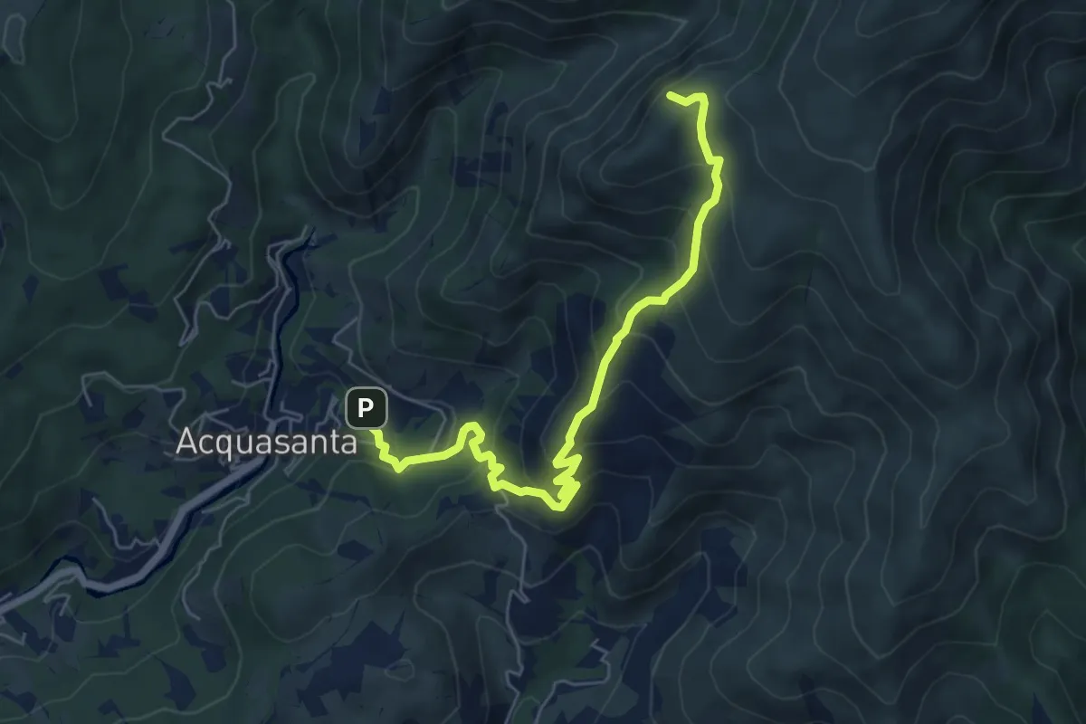
Medium · Summit
Stazione FS Acquasanta - Cappellina Baiarda
6.6 km · ↑ 619 m · 2 h 54 min · 9 km away
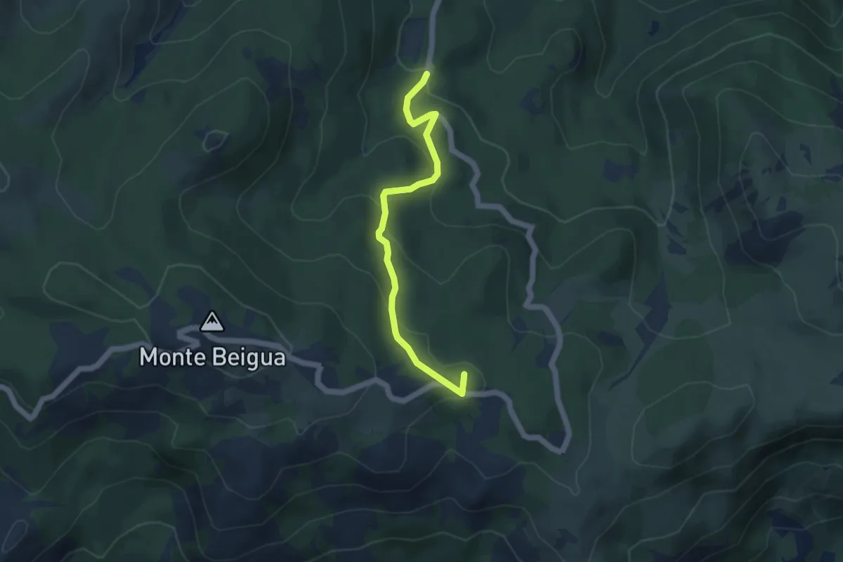
Medium · Summit
Torbiera del Laione - Pratorotondo
4.5 km · ↑ 190 m · 1 h 28 min · 9 km away
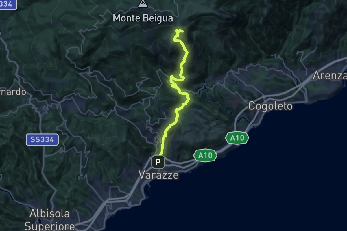
Demanding · Summit
Varazze – Pratorotondo
20.4 km · ↑ 1388 m · 7 h 49 min · 10 km away
Demanding · Summit
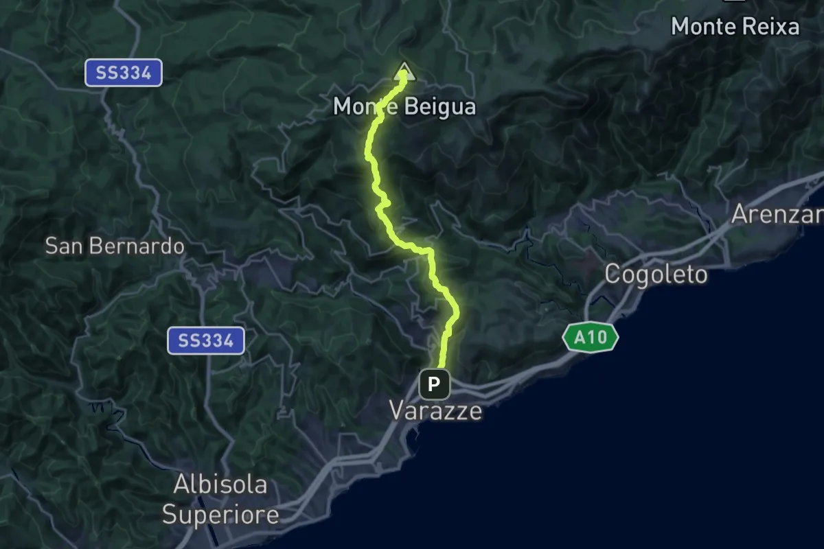
Varazze – Monte Beigua
20.4 km · ↑ 1374 m · 7 h 47 min · 10 km away
Demanding · Summit
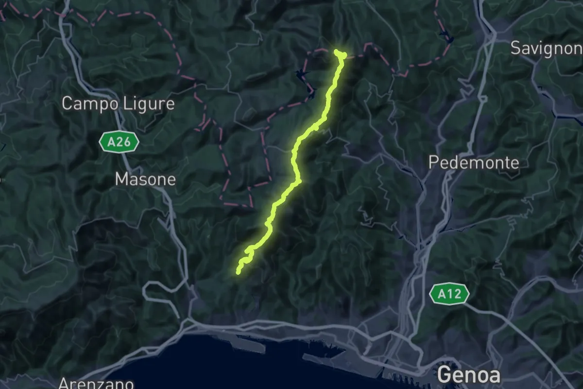
Sentiero Liguria - Tappa 13 Variante 2
34.7 km · ↑ 1790 m · 12 h 4 min · 10 km away
Demanding · Trail
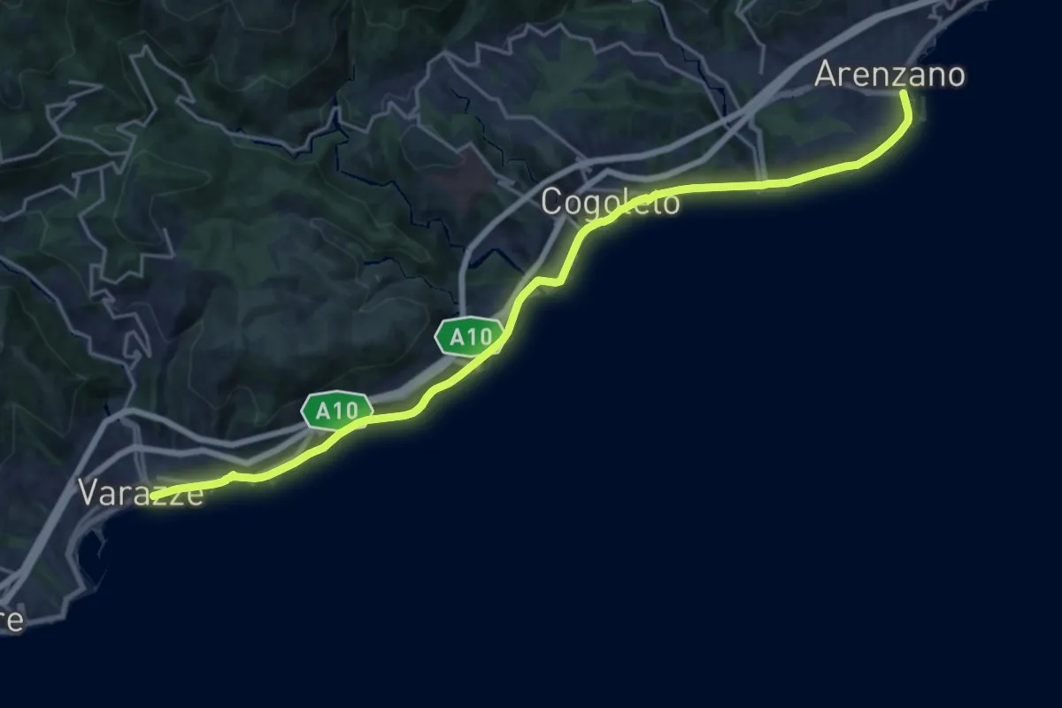
Sentiero Liguria - Tappa 15
21.5 km · ↑ 247 m · 5 h 36 min · 10 km away
Medium · Summit
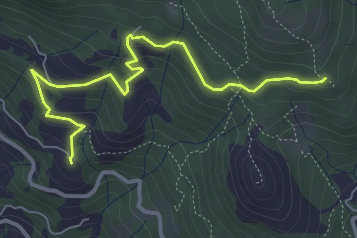
Alpicella – Strada Megalitica
5.5 km · ↑ 311 m · 1 h 59 min · 10 km away
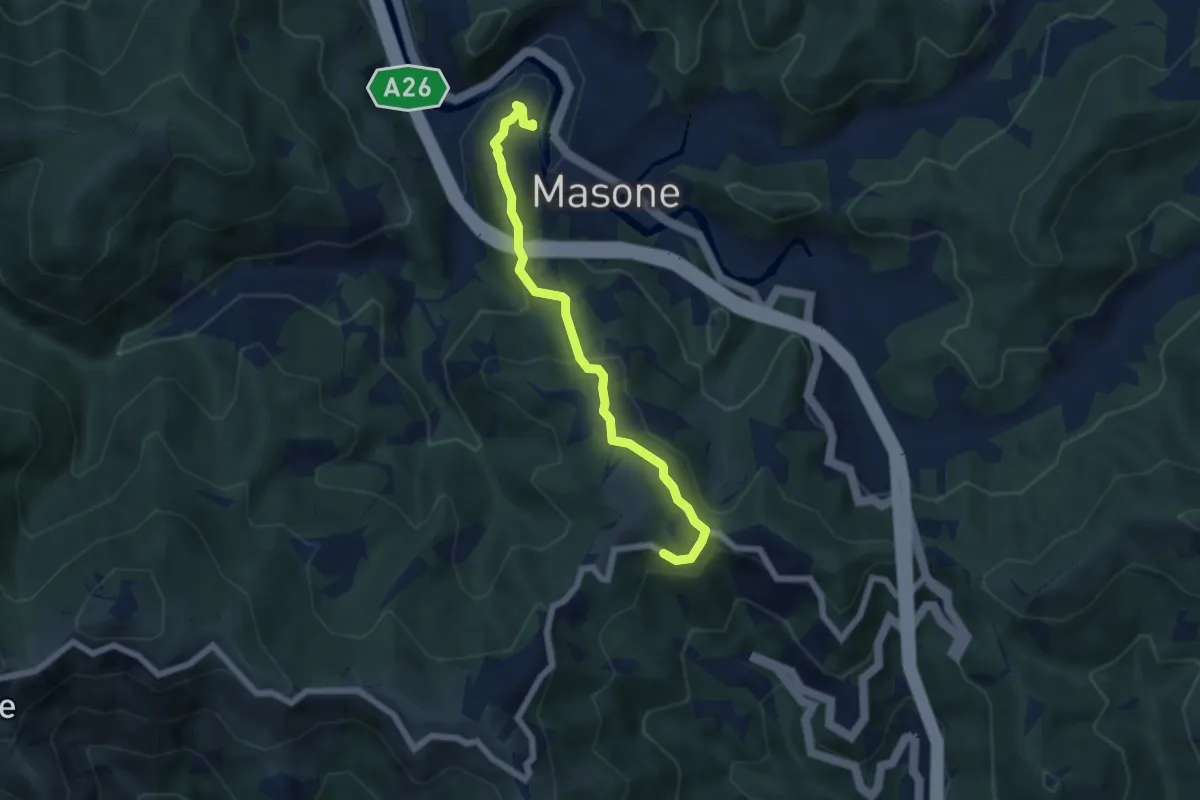
Medium · Trail
Masone – Sacrario dei Martiri del Turchino
5.8 km · ↑ 307 m · 2 h 2 min · 10 km away
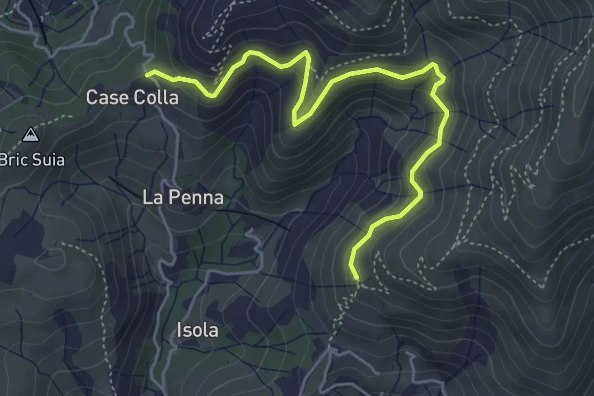
Medium · Trail
Sentiero Lische Basse
4.9 km · ↑ 360 m · 1 h 57 min · 10 km away
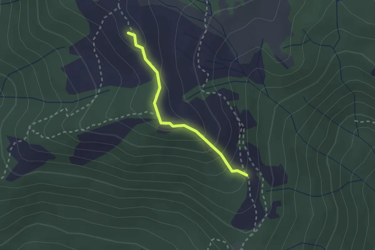
Demanding · Summit
Collegamento tra "Croce Rossa" e "Traingolo Rosso Vuoto"
1.8 km · ↑ 123 m · 42 min · 10 km away
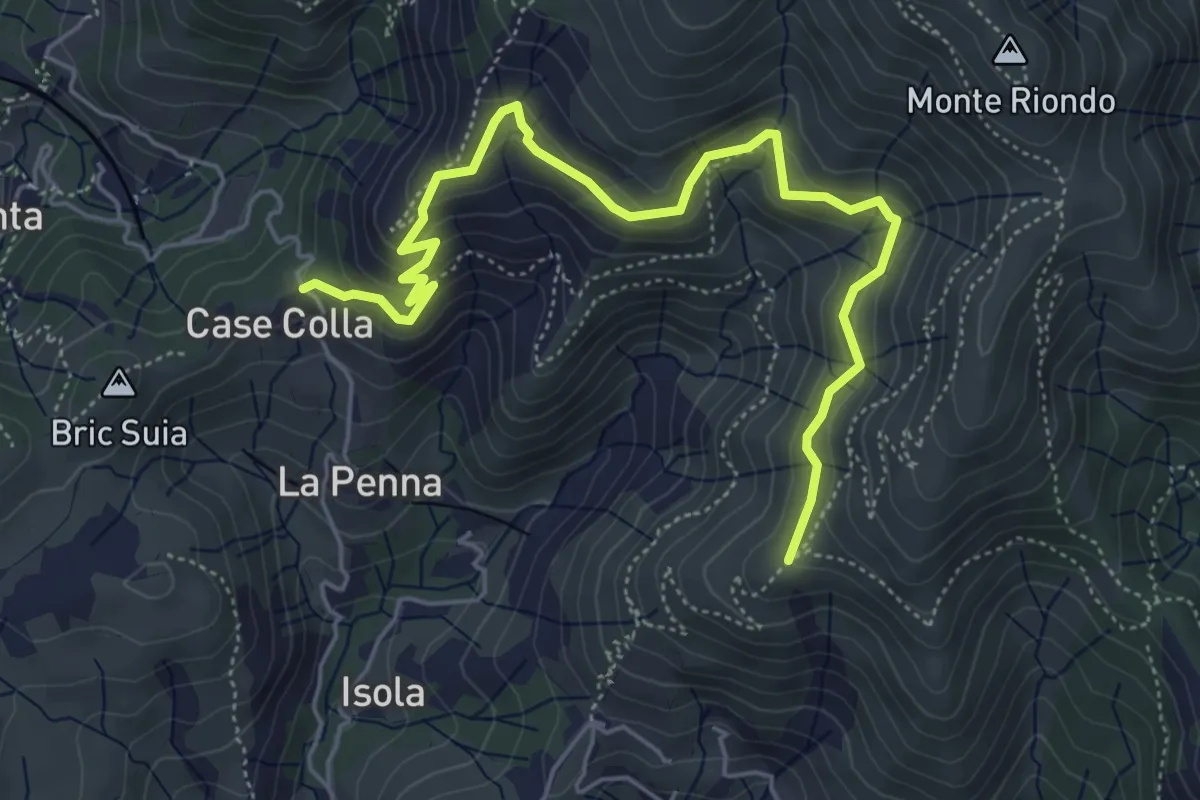
Medium · Trail
Sentiero Lische Alte
6.3 km · ↑ 488 m · 2 h 33 min · 10 km away
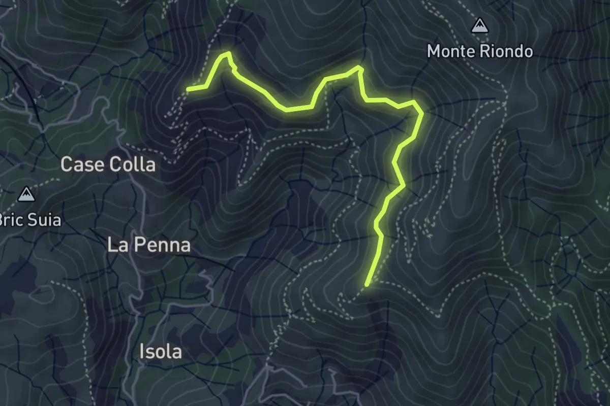
Medium · Trail
Raccordo Lische Alte
4.5 km · ↑ 326 m · 1 h 47 min · 10 km away
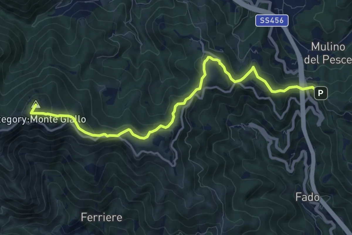
Medium · Summit
Passo del Faiallo - Passo del Turchino
10.9 km · ↑ 560 m · 3 h 47 min · 10 km away
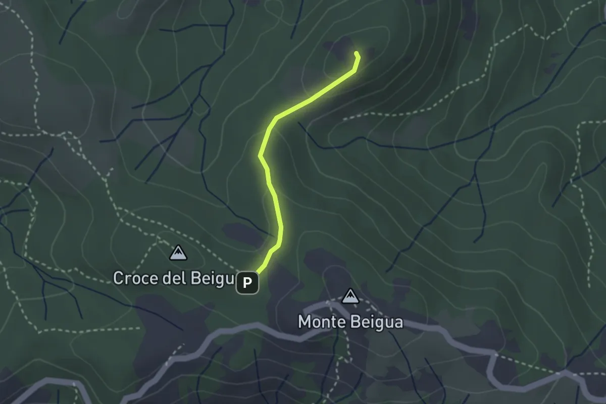
Medium · Summit
Sella del Beigua - Monte Grosso
2.1 km · ↑ 81 m · 41 min · 10 km away
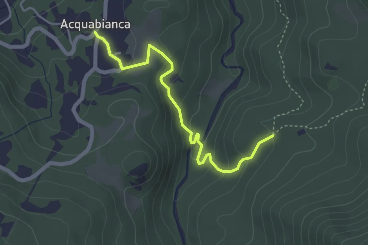
Easy · Trail
Acquabianca – Ca' Batin
3.7 km · ↑ 173 m · 1 h 15 min · 10 km away
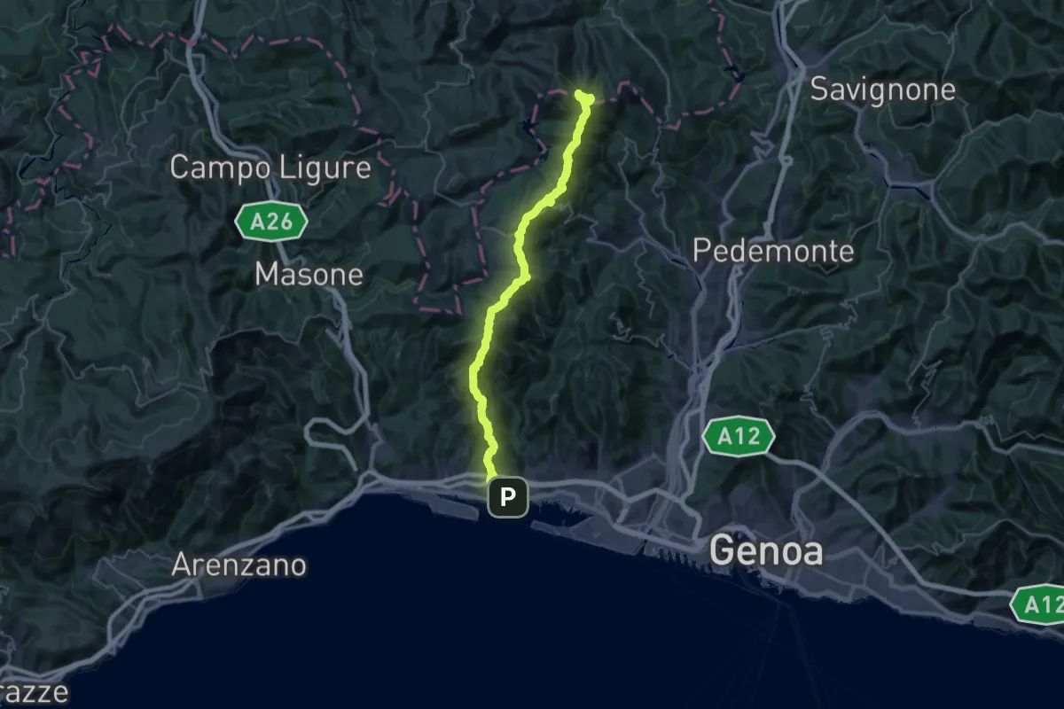
Demanding · Summit
Sentiero europeo E1 - Variante di Pegli
40.1 km · ↑ 1947 m · 13 h 41 min · 11 km away
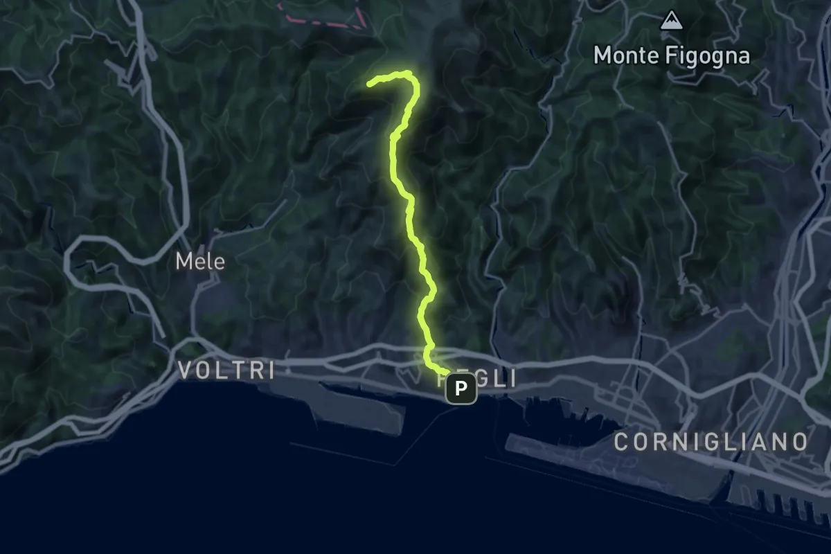
Demanding · Summit
Pegli – Punta Martin
17.0 km · ↑ 1025 m · 6 h 13 min · 11 km away
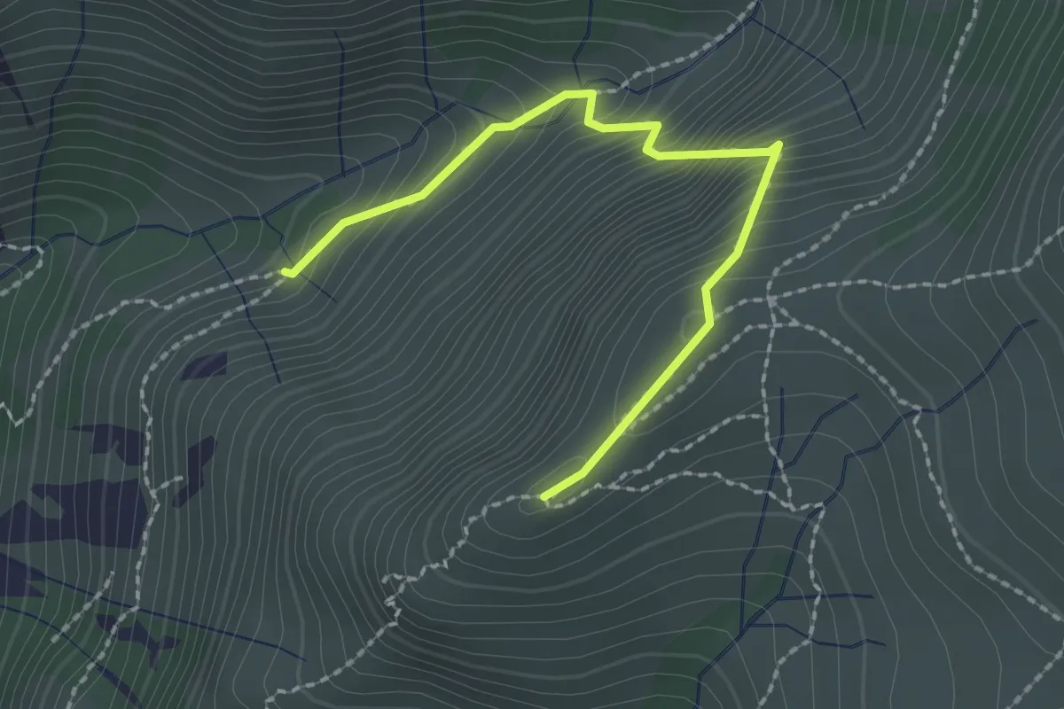
Expert · Summit
Sentiero Frassati F1
1.1 km · ↑ 266 m · 44 min · 11 km away
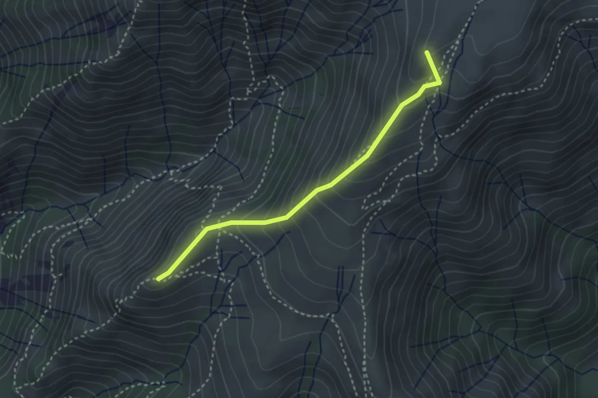
Medium · Summit
Cappellina Baiarda - Pendici Monte Fontana Buona
3.1 km · ↑ 298 m · 1 h 22 min · 11 km away
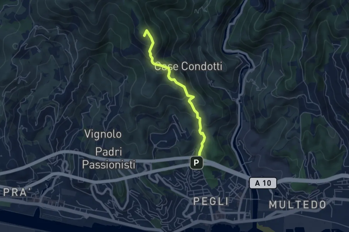
Medium · Summit
Via Vespucci - Fossa del Lupo
4.7 km · ↑ 354 m · 1 h 52 min · 11 km away
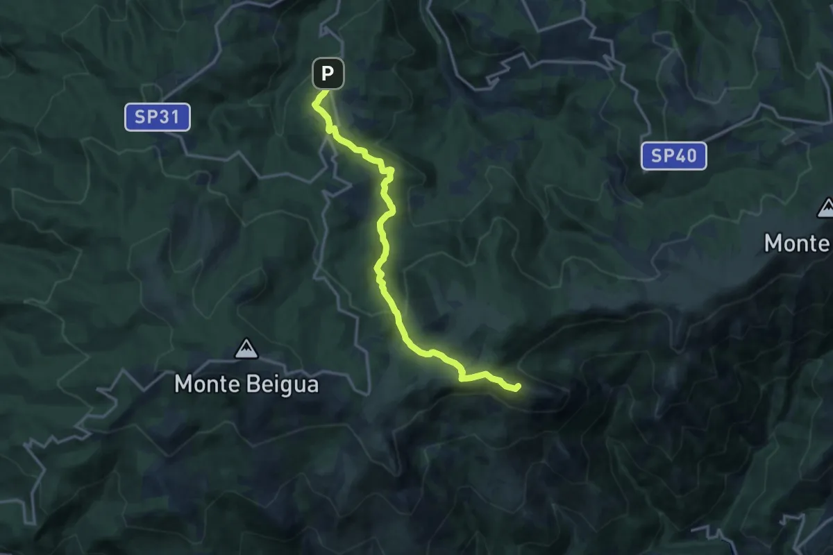
Medium · Summit
Piampaludo – Monte Rama
13.6 km · ↑ 430 m · 4 h 8 min · 11 km away
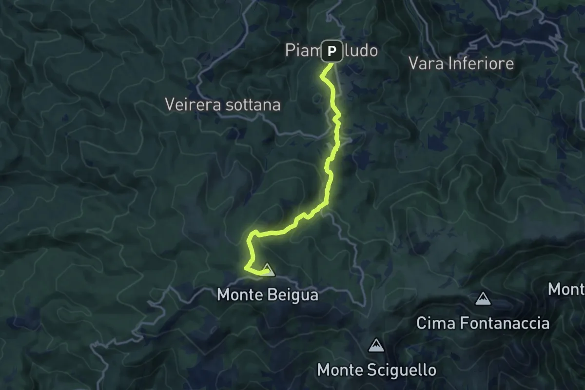
Medium · Summit
Piampaludo – Monte Beigua
11.5 km · ↑ 423 m · 3 h 37 min · 11 km away
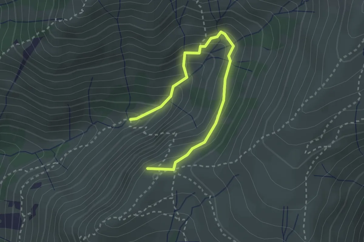
Medium · Summit
Sentiero Carlo Poggio
2.9 km · ↑ 323 m · 1 h 23 min · 11 km away
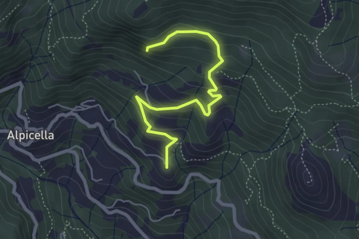
Easy · Summit
Alpicella – S. Anna
4.7 km · ↑ 319 m · 1 h 48 min · 11 km away
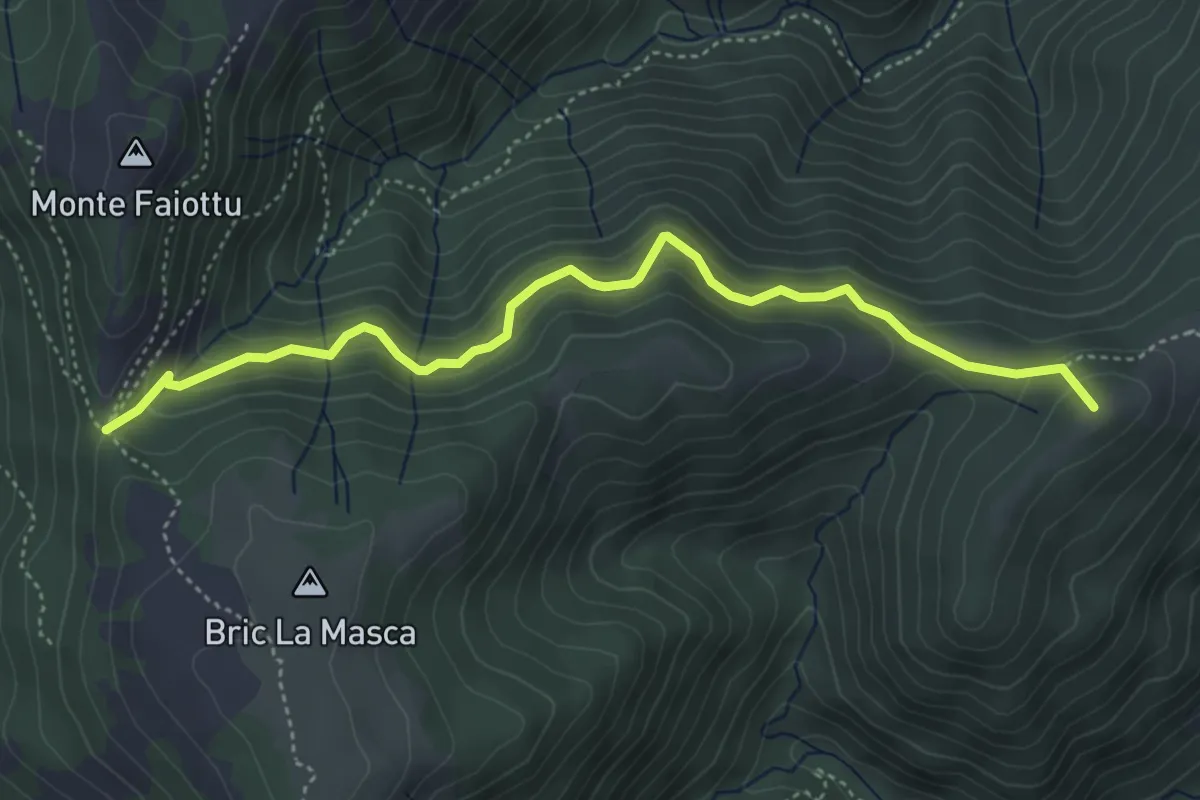
Medium · Summit
Masone – Passo Fruia
4.9 km · ↑ 393 m · 2 h · 11 km away
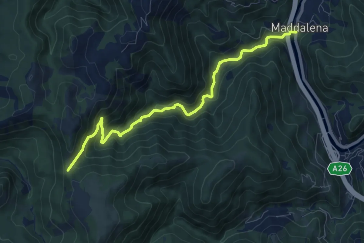
Medium · Trail
S. Maria Maddalena – Colle Cima di Masca
9.3 km · ↑ 482 m · 3 h 15 min · 11 km away
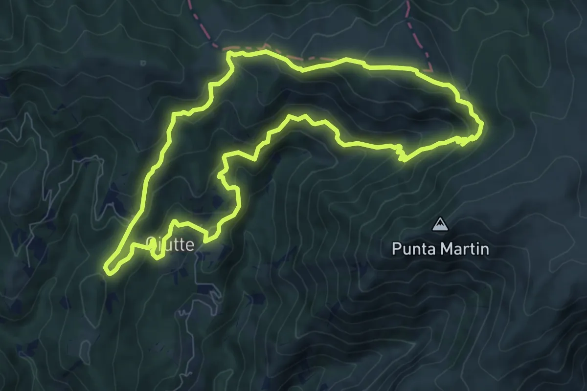
Medium · Trail
Anello delle Giutte
8.7 km · ↑ 497 m · 3 h 15 min · 11 km away
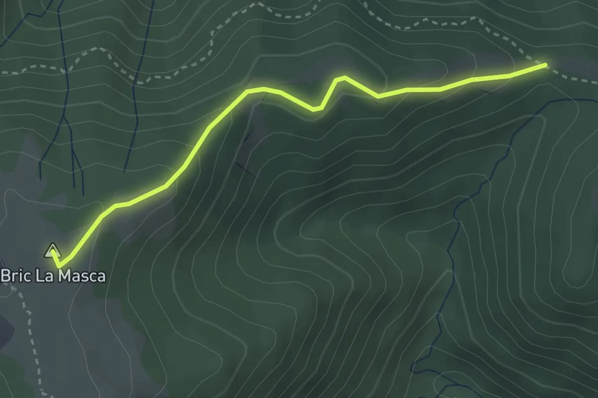
Easy · Summit
Pra d'bura – Foi
3.1 km · ↑ 180 m · 1 h 7 min · 11 km away
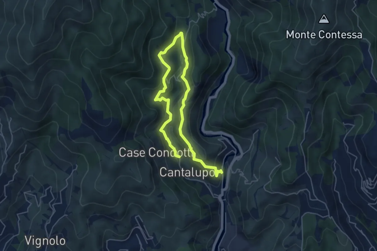
Medium · Trail
Sentiero EC1
7.1 km · ↑ 382 m · 2 h 31 min · 11 km away
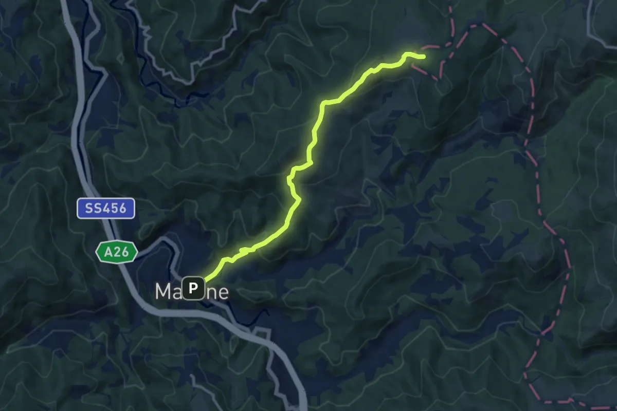
Medium · Trail
Masone – Pratorondanino
9.5 km · ↑ 408 m · 3 h 8 min · 11 km away
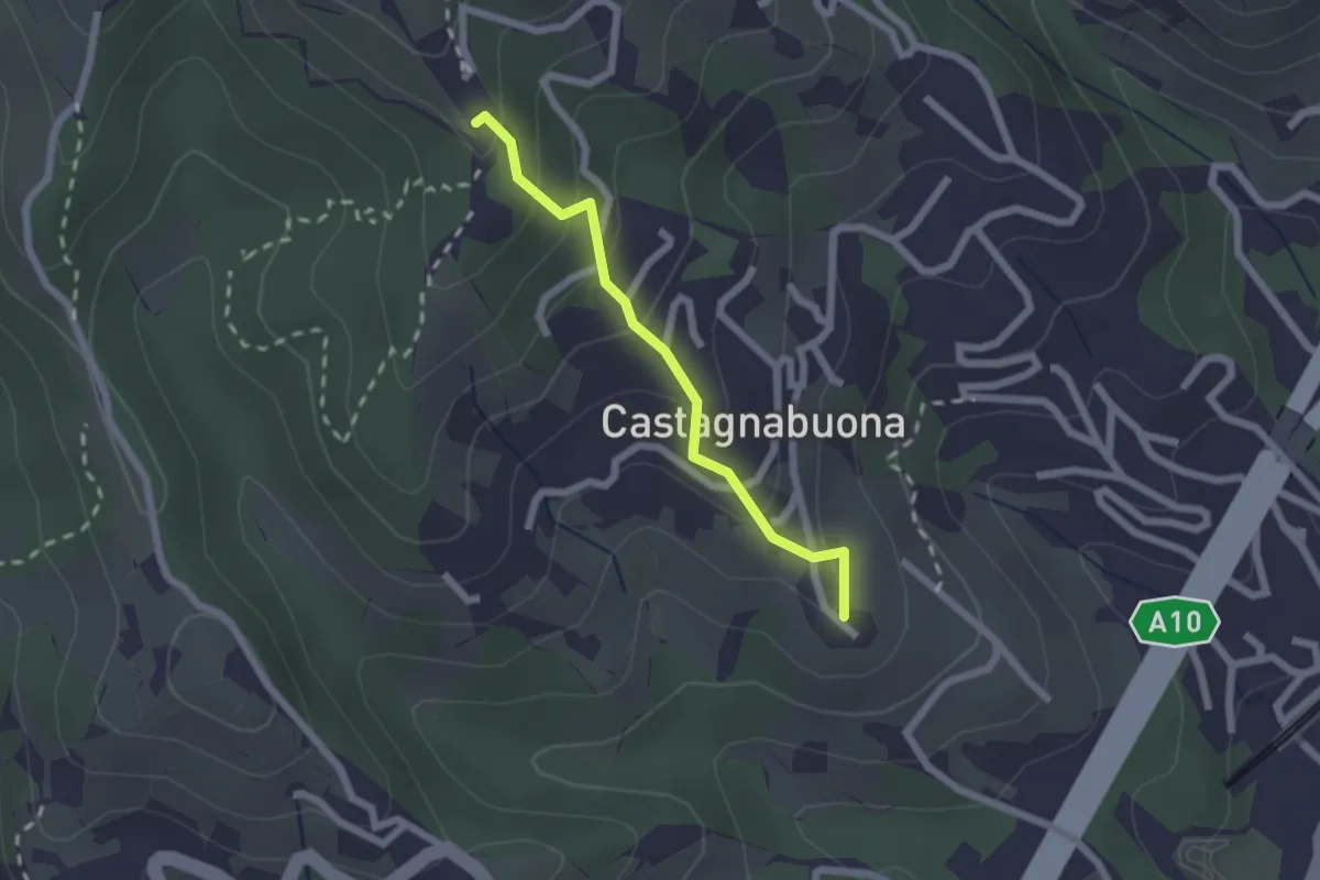
Easy · Summit
Varazze - Castagnabuona - Croce di Castagnabuona
1.9 km · ↑ 141 m · 45 min · 11 km away
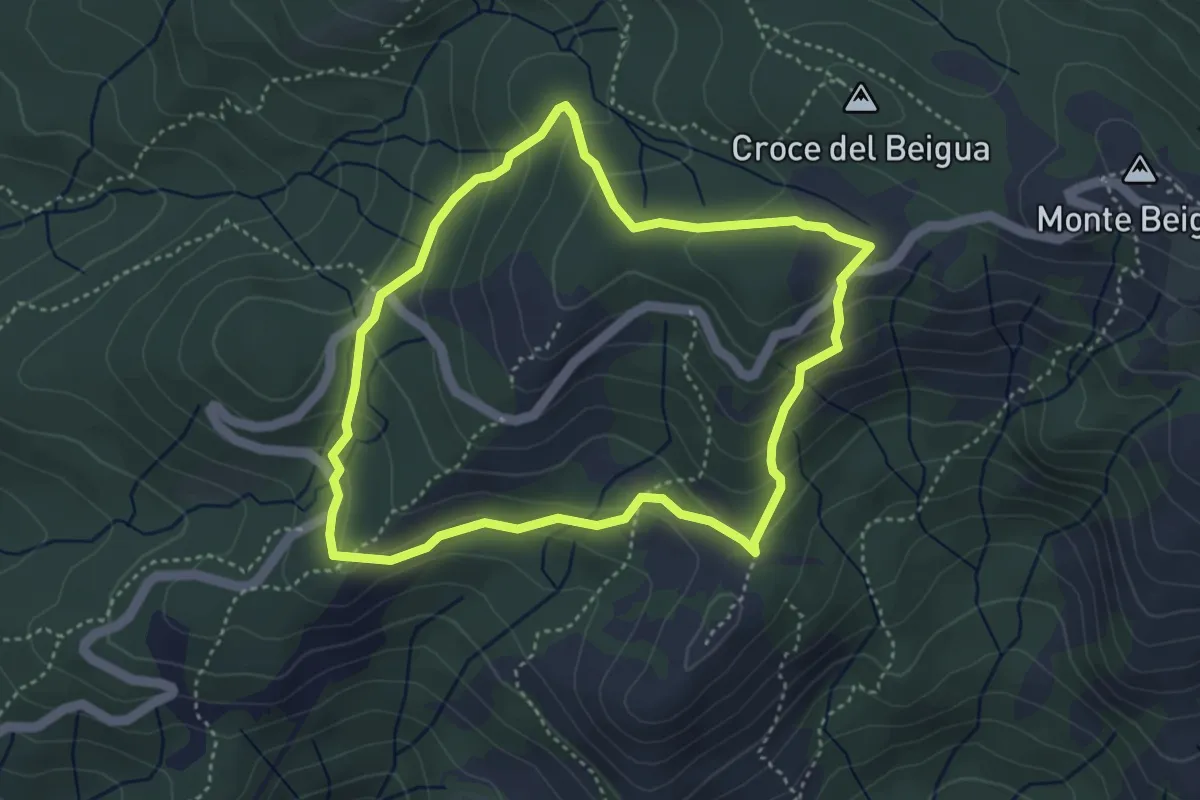
Medium · Summit
Sentiero Napoleonico del Beigua "rosso"
3.9 km · ↑ 177 m · 1 h 22 min · 11 km away
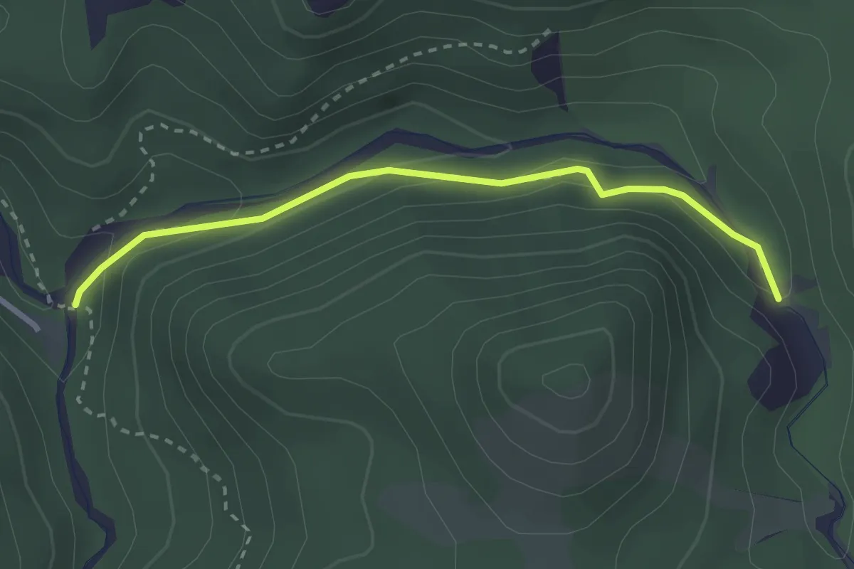
Medium · Trail
Valle Baracca
2.7 km · ↑ 96 m · 51 min · 11 km away
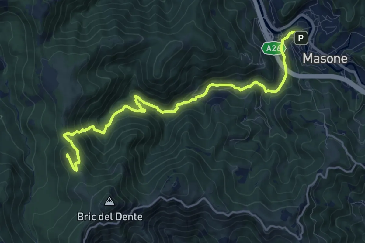
Medium · Summit
Masone – Bric Dentino
13.0 km · ↑ 581 m · 4 h 19 min · 12 km away
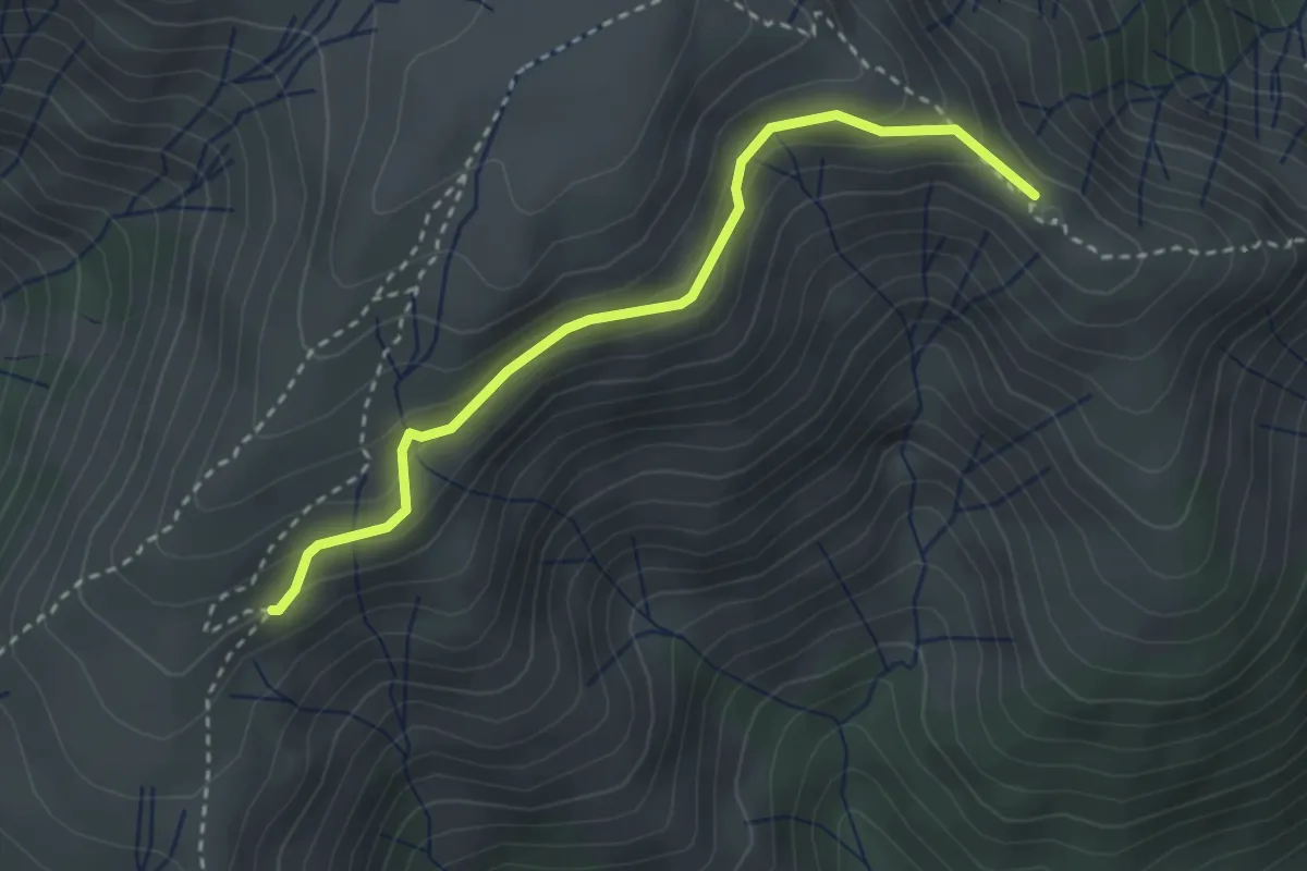
Medium · Summit
Collegamento Monte Cuccio - Punta del Corno
3.1 km · ↑ 238 m · 1 h 15 min · 12 km away
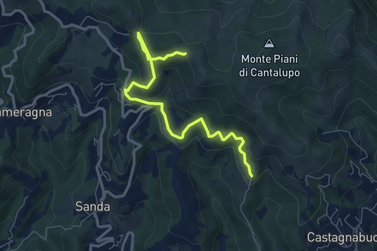
Easy · Trail
Variante Bassa Due Quadrati Rossi
6.7 km · ↑ 308 m · 2 h 15 min · 12 km away
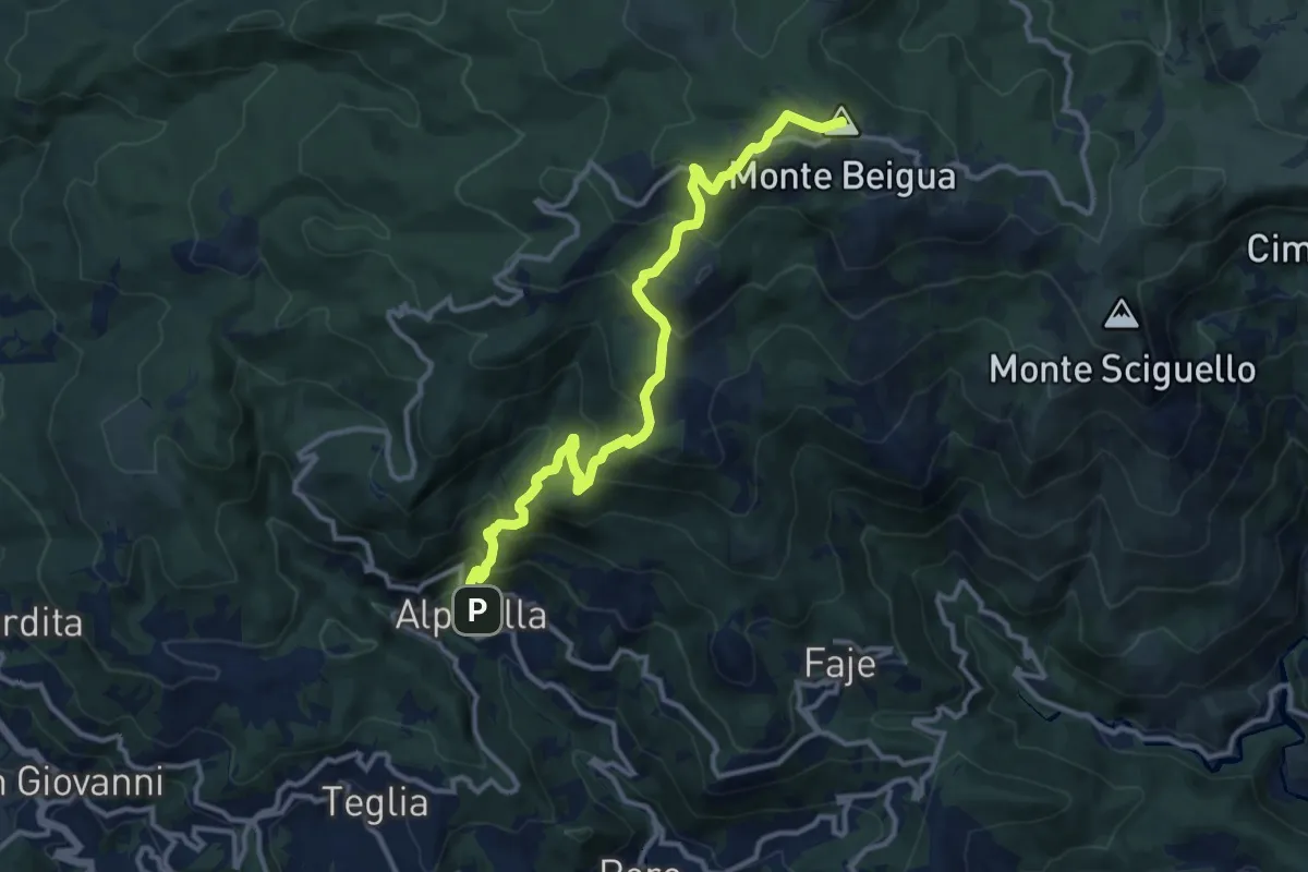
Demanding · Summit
Alpicella – Monte Beigua
12.9 km · ↑ 908 m · 5 h 1 min · 12 km away
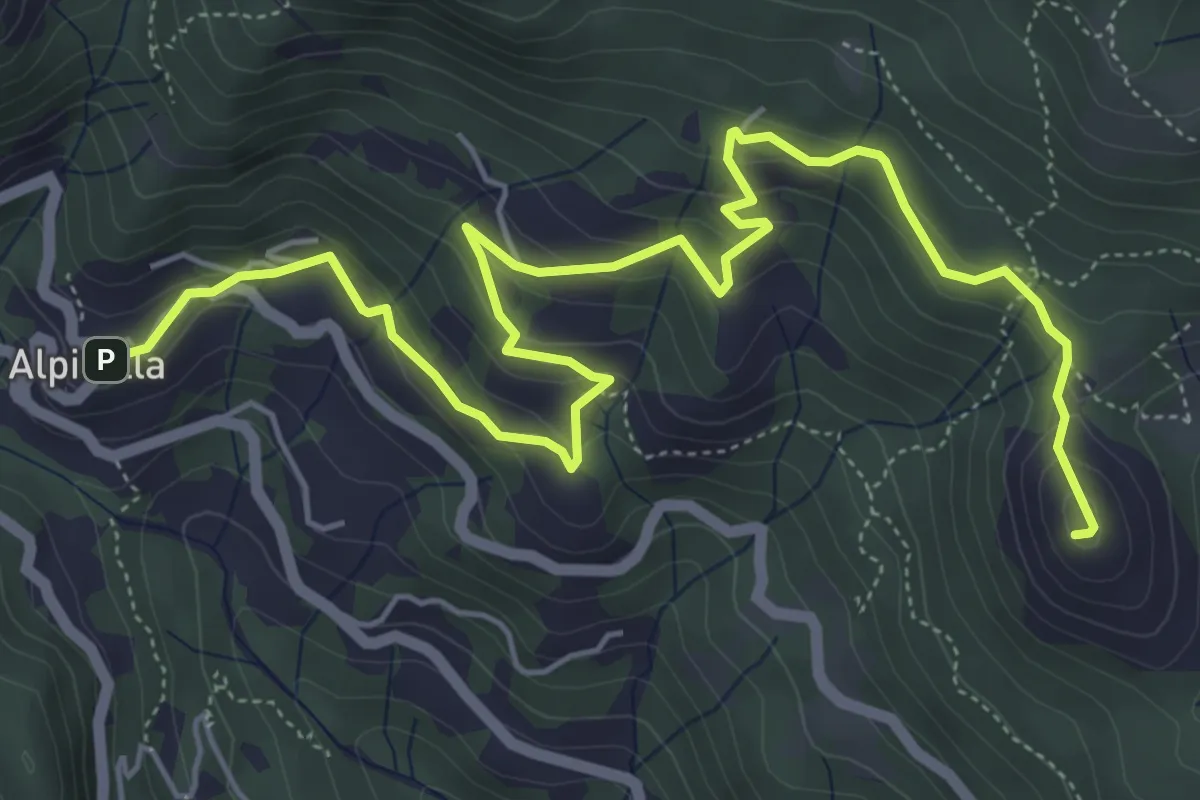
Medium · Summit
Alpicella – Monte Greppino
7.7 km · ↑ 410 m · 2 h 43 min · 12 km away
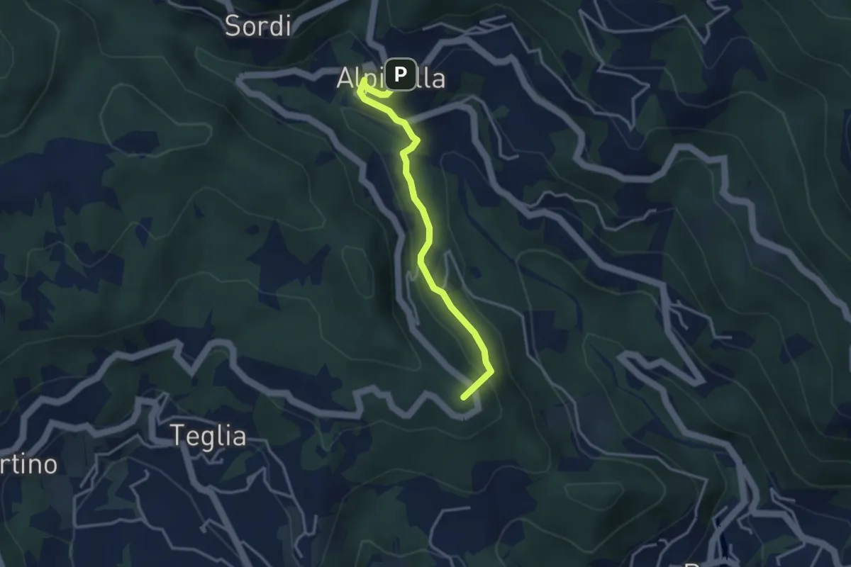
Medium · Summit
Alpicella – Scavi archeologici
3.2 km · ↑ 164 m · 1 h 7 min · 12 km away
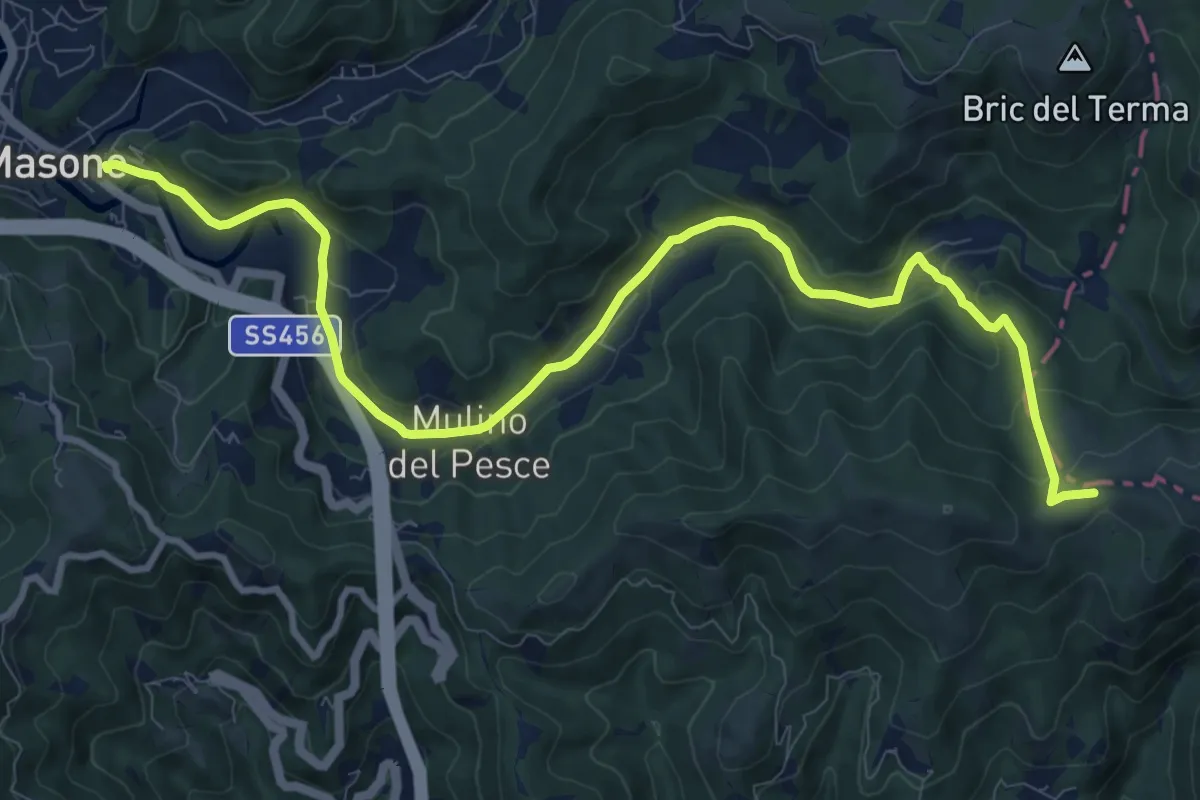
Medium · Trail
Masone – Passo del Veleno
12.5 km · ↑ 334 m · 3 h 40 min · 12 km away
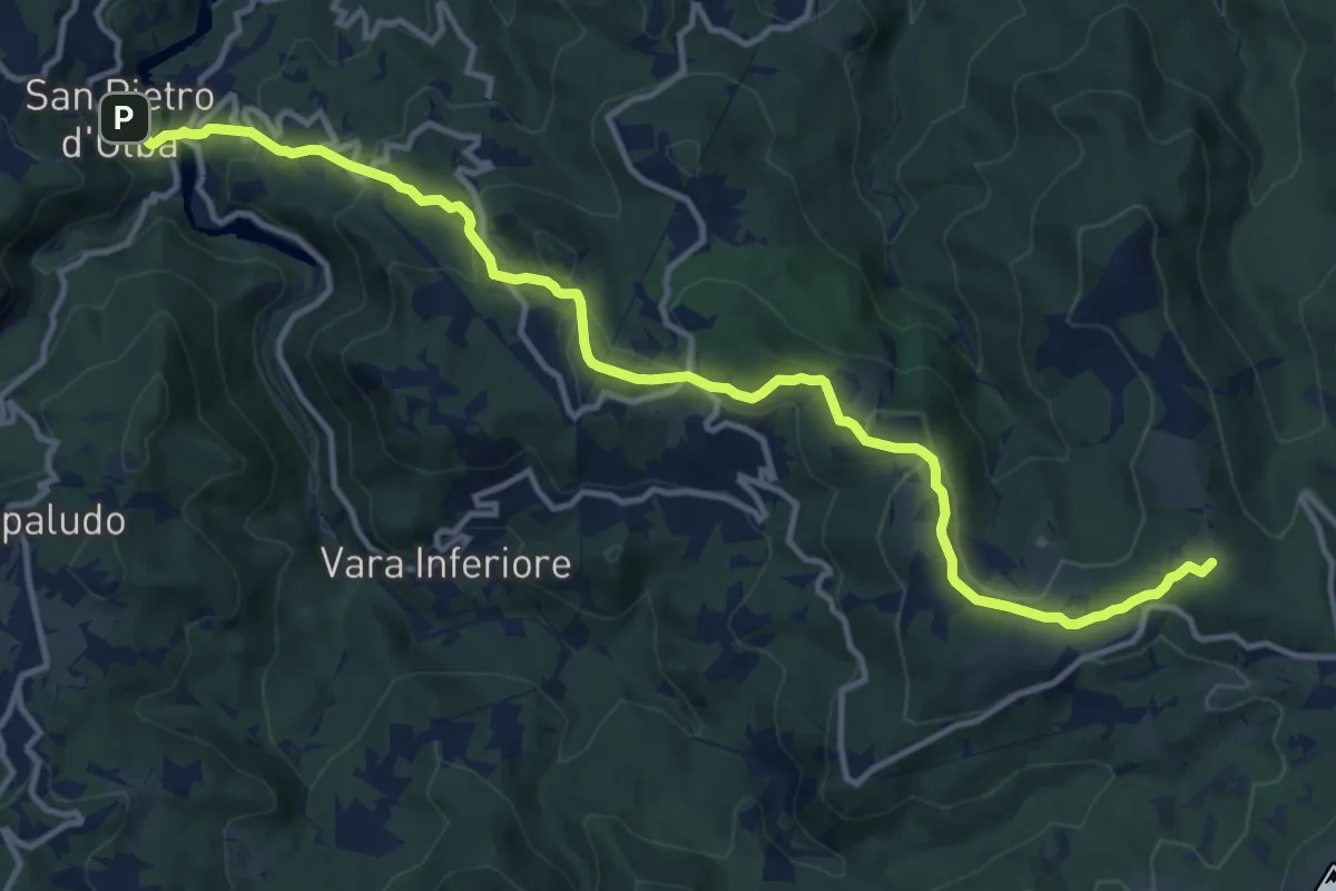
Medium · Summit
San Pietro d'Olba – Passo del Faiallo
15.1 km · ↑ 595 m · 4 h 51 min · 12 km away
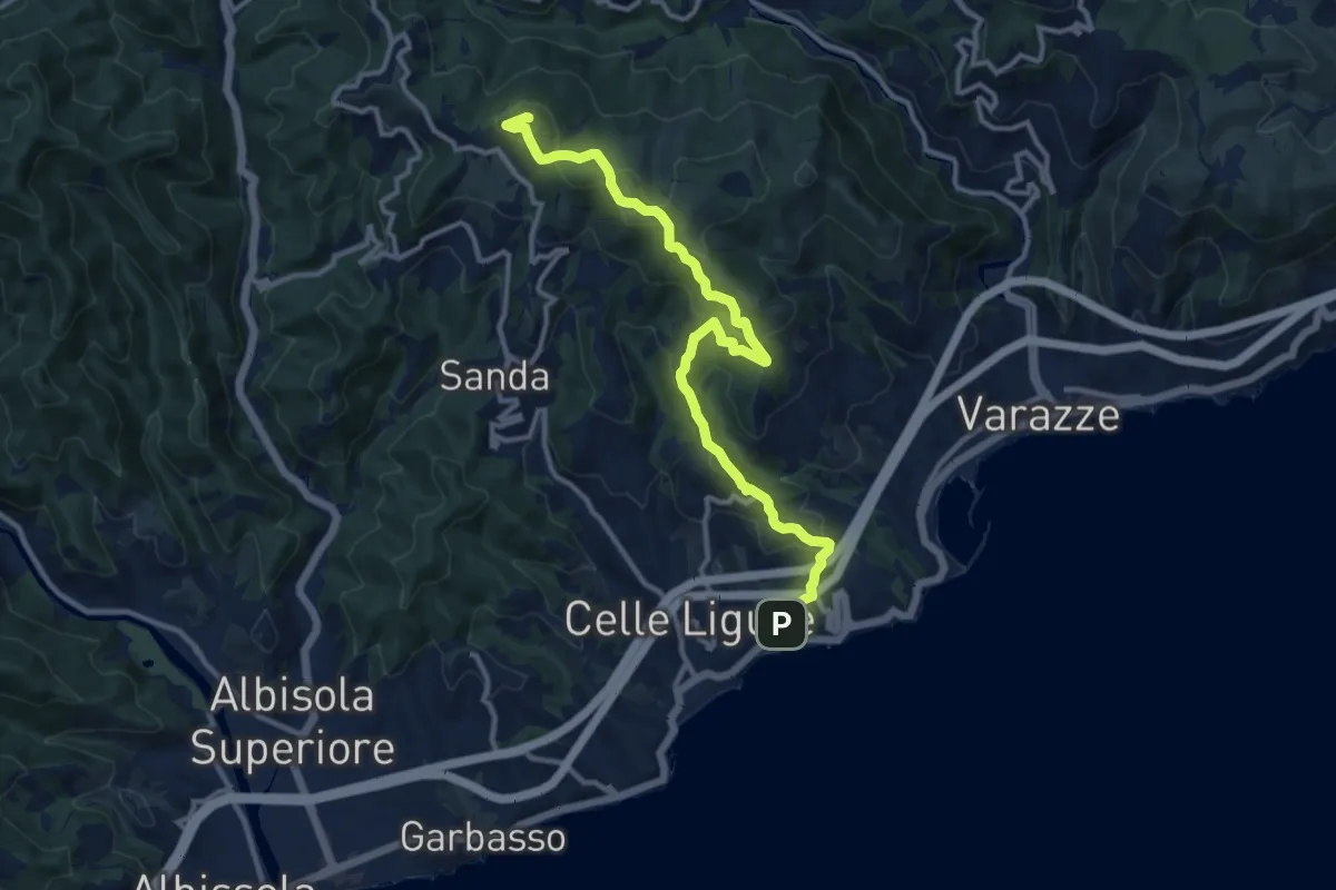
Medium · Summit
Celle Ligure - Bric delle Forche
13.1 km · ↑ 625 m · 4 h 27 min · 12 km away
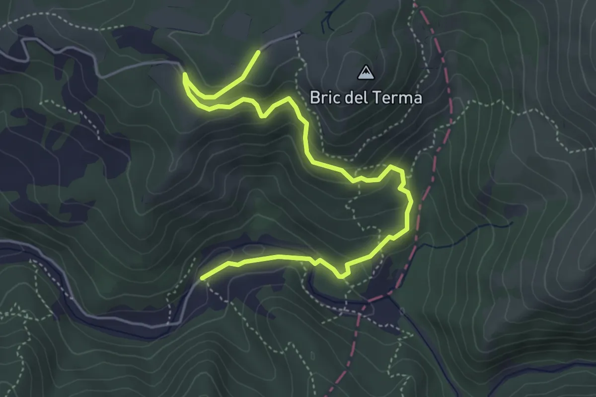
Medium · Trail
San Pietro di Masone - Sella Ovest Bric del Terma
5.8 km · ↑ 285 m · 1 h 59 min · 12 km away
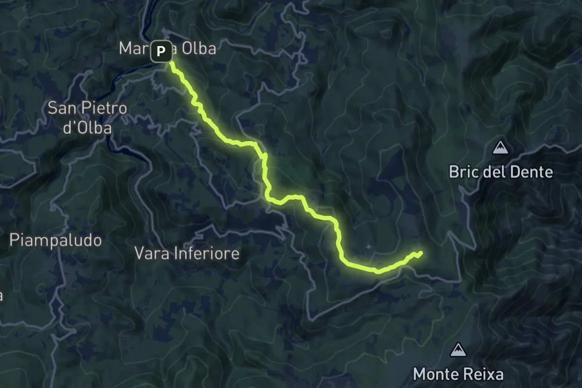
Medium · Summit
Martina Olba - Passo del Faiallo
14.9 km · ↑ 656 m · 4 h 56 min · 12 km away
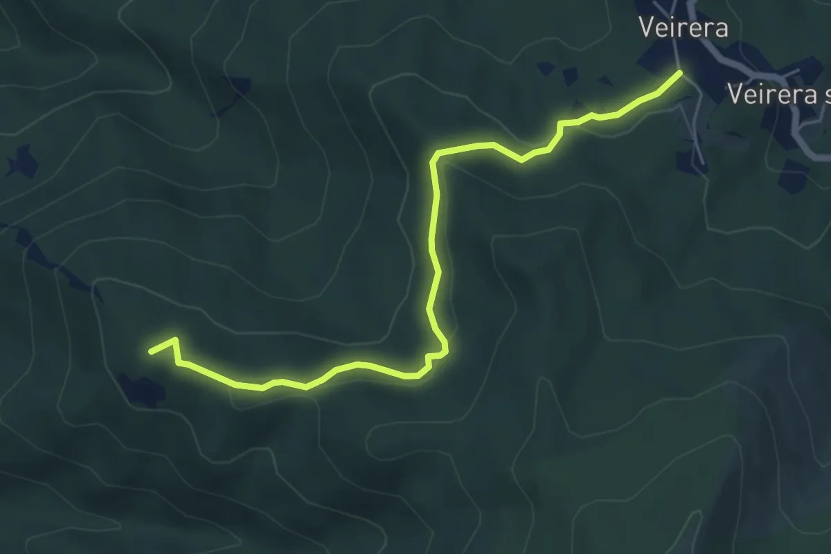
Easy · Summit
Veirera - Monte Avze'
5.7 km · ↑ 194 m · 1 h 47 min · 12 km away
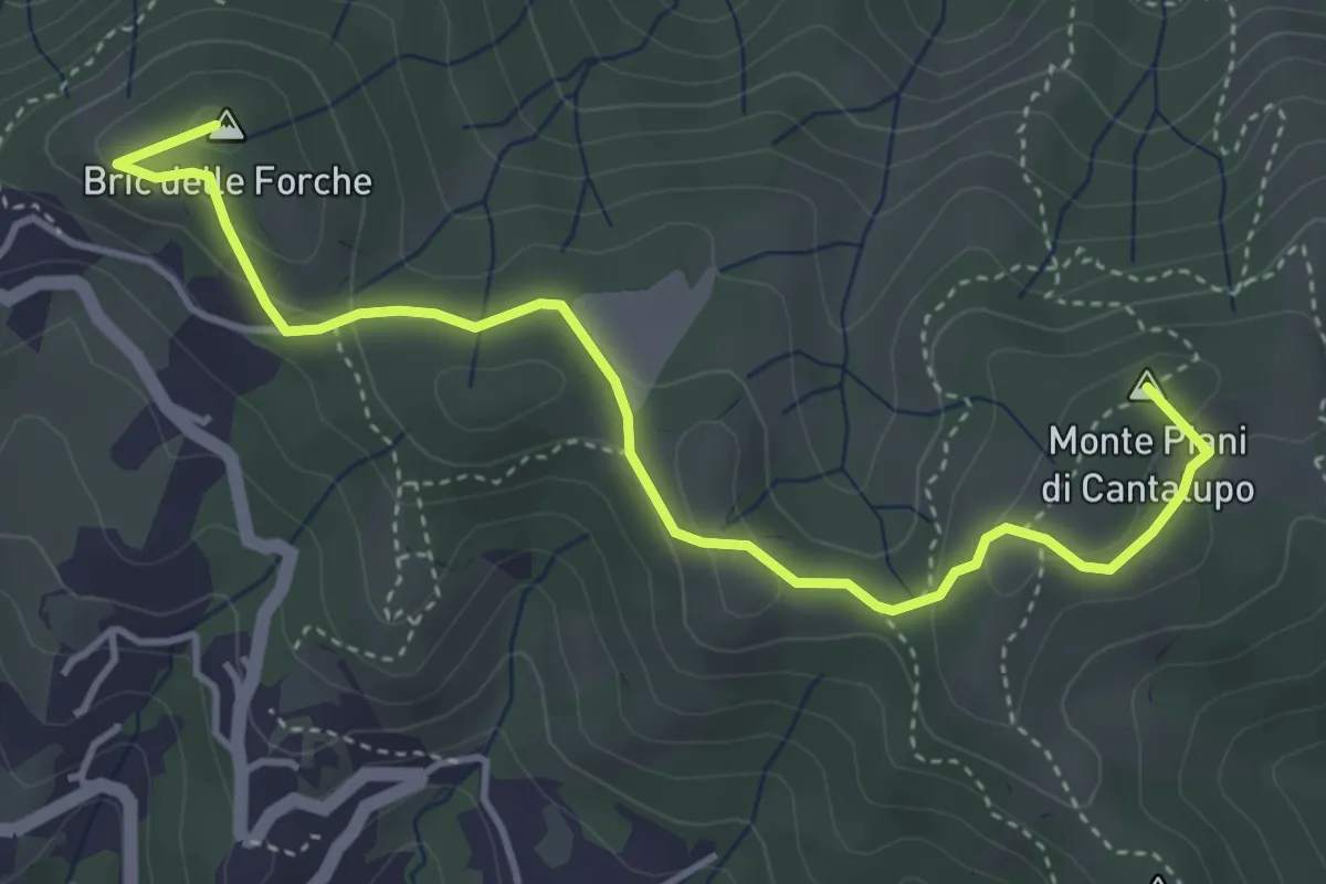
Medium · Summit
Varazze - Cantalupo - Bric delle Forche
4.8 km · ↑ 170 m · 1 h 30 min · 12 km away
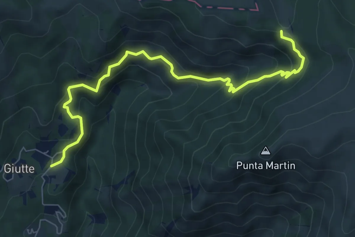
Medium · Trail
Sentiero C4
7.4 km · ↑ 526 m · 2 h 54 min · 13 km away