Trails near Arenzano
128 hikes starting within 15 km, nearest first.
Nearest first, page 3 of 3
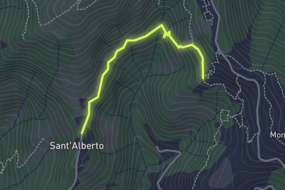
Easy · Trail
Eremo di Sant'Alberto - Bivio a Monte del Bosco dei Frati
2.3 km · ↑ 145 m · 52 min · 13 km away
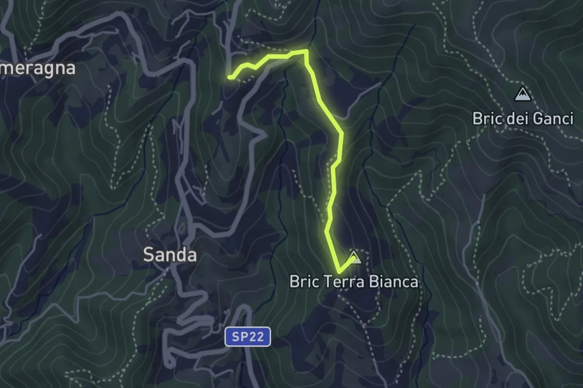
Easy · Summit
Celle Ligure - Brasi - Vespa
3.1 km · ↑ 79 m · 54 min · 13 km away
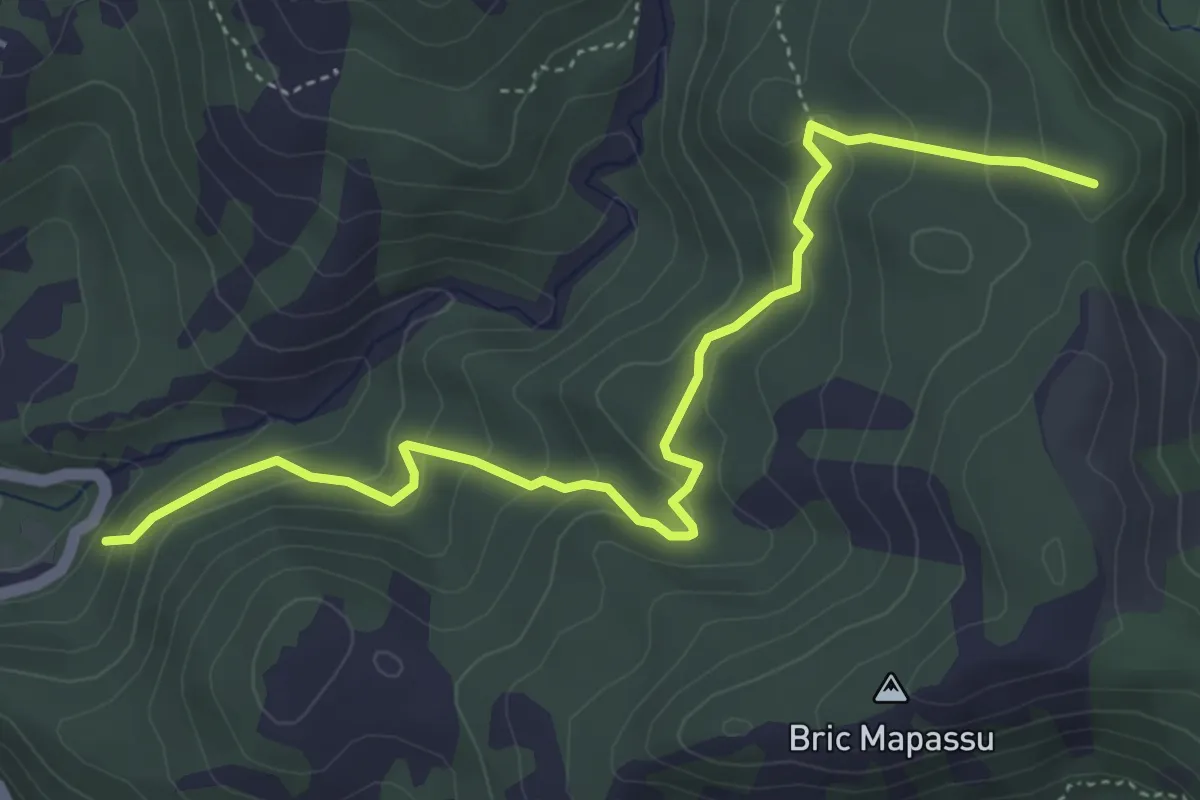
Easy · Summit
Colla Minetti – Morbetto
5.3 km · ↑ 312 m · 1 h 56 min · 13 km away
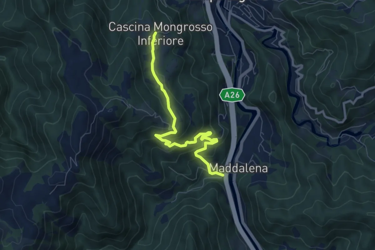
Medium · Trail
Bivio Cascina Masca - Cascina Mongrosso
7.3 km · ↑ 403 m · 2 h 36 min · 13 km away
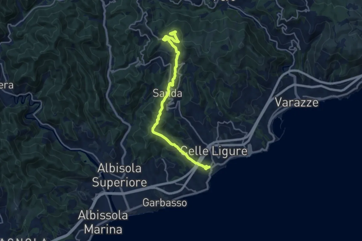
Medium · Summit
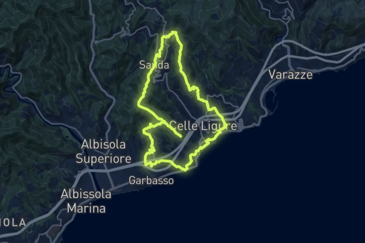
Celle Ligure - Sanda - Bric delle Forche
13.5 km · ↑ 566 m · 4 h 24 min · 13 km away
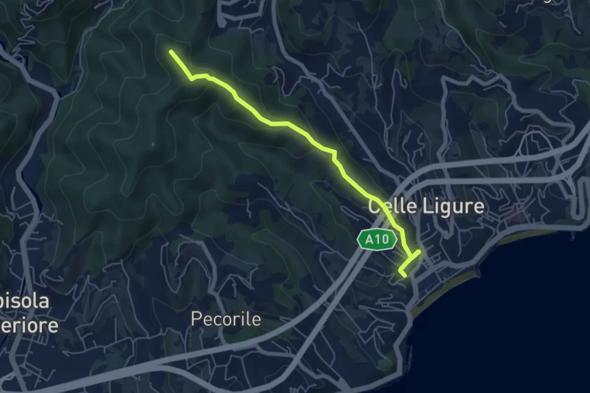
Easy · Summit
Stazione FS – Bric Croi
5.2 km · ↑ 240 m · 1 h 44 min · 13 km away
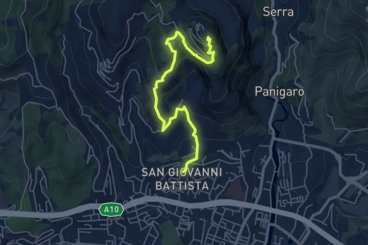
Medium · Trail
Sestri Ponente – Santuario Nostra Signora del Monte Gazzo
5.2 km · ↑ 397 m · 2 h 5 min · 13 km away
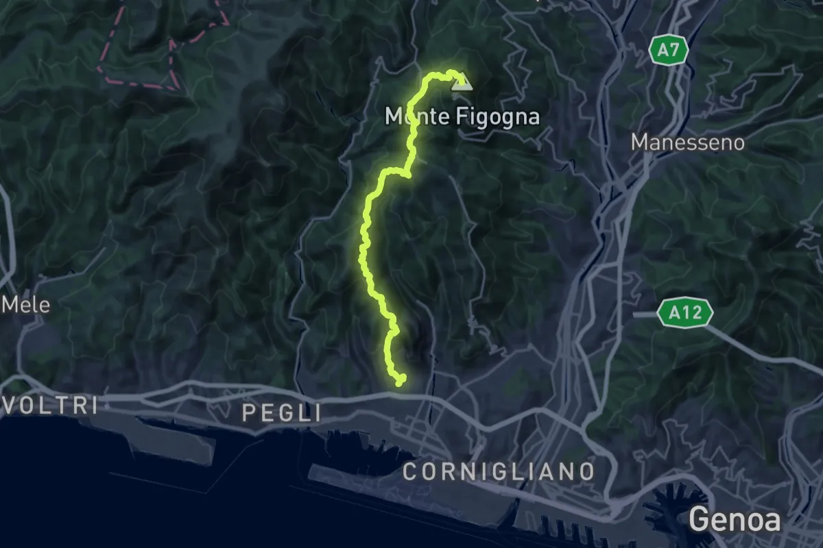
Demanding · Summit
Sestri Ponente – Santuario Madonna della Guardia
19.4 km · ↑ 1036 m · 6 h 49 min · 13 km away
Medium · Summit
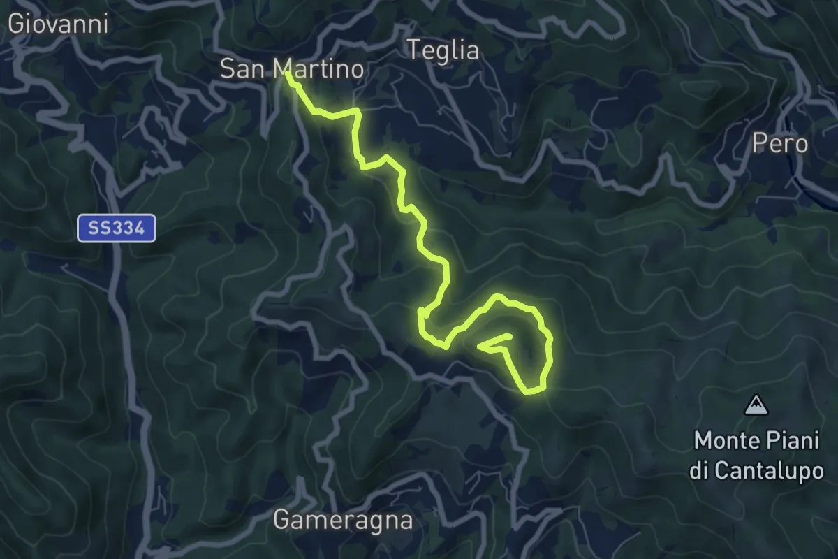
Anello delle 7 Chiese
14.1 km · ↑ 534 m · 4 h 40 min · 13 km away
Medium · Summit
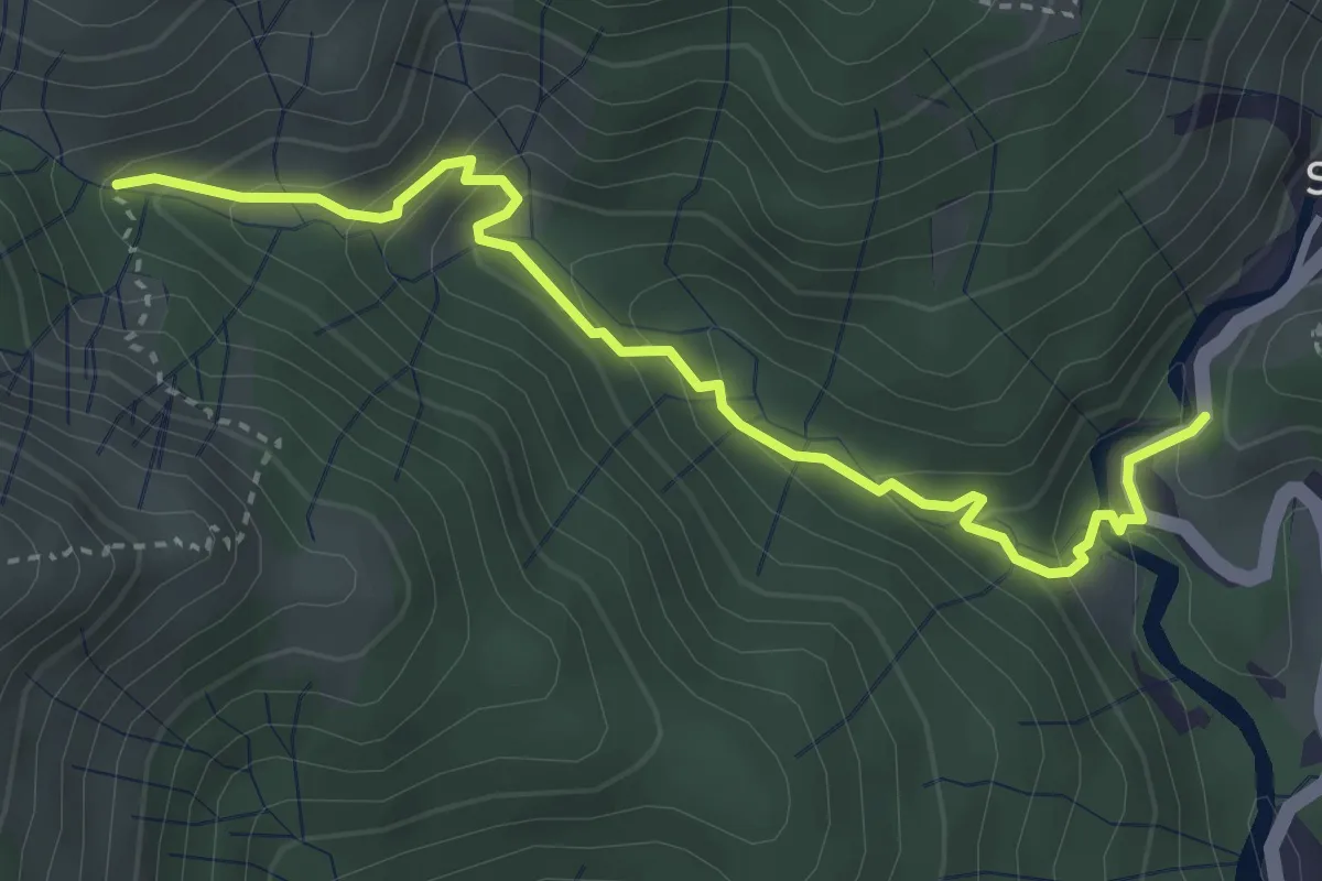
Stella San Martino - Bric delle Forche
8.2 km · ↑ 473 m · 2 h 58 min · 13 km away
Medium · Trail
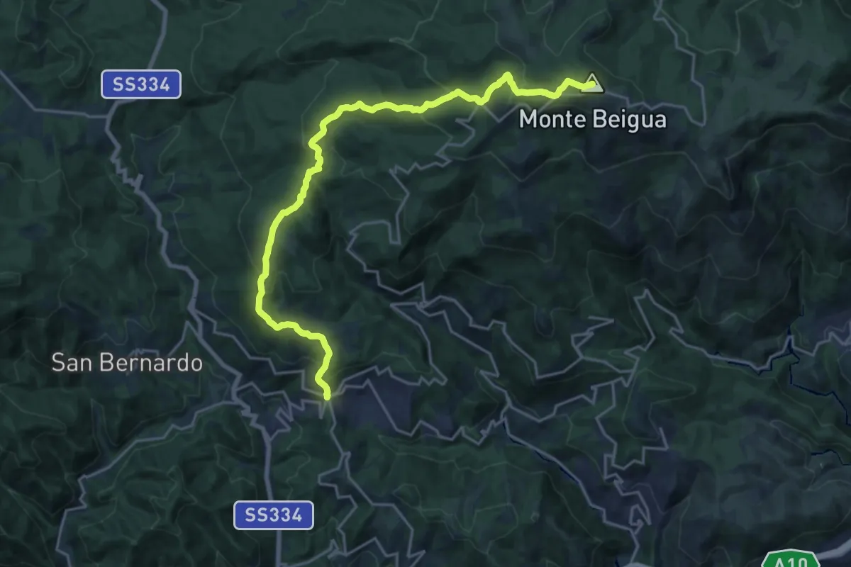
Sentiero EC2
3.9 km · ↑ 279 m · 1 h 31 min · 13 km away
Demanding · Summit
Stella San Martino – Pian di Stella
21.1 km · ↑ 1026 m · 7 h 13 min · 13 km away
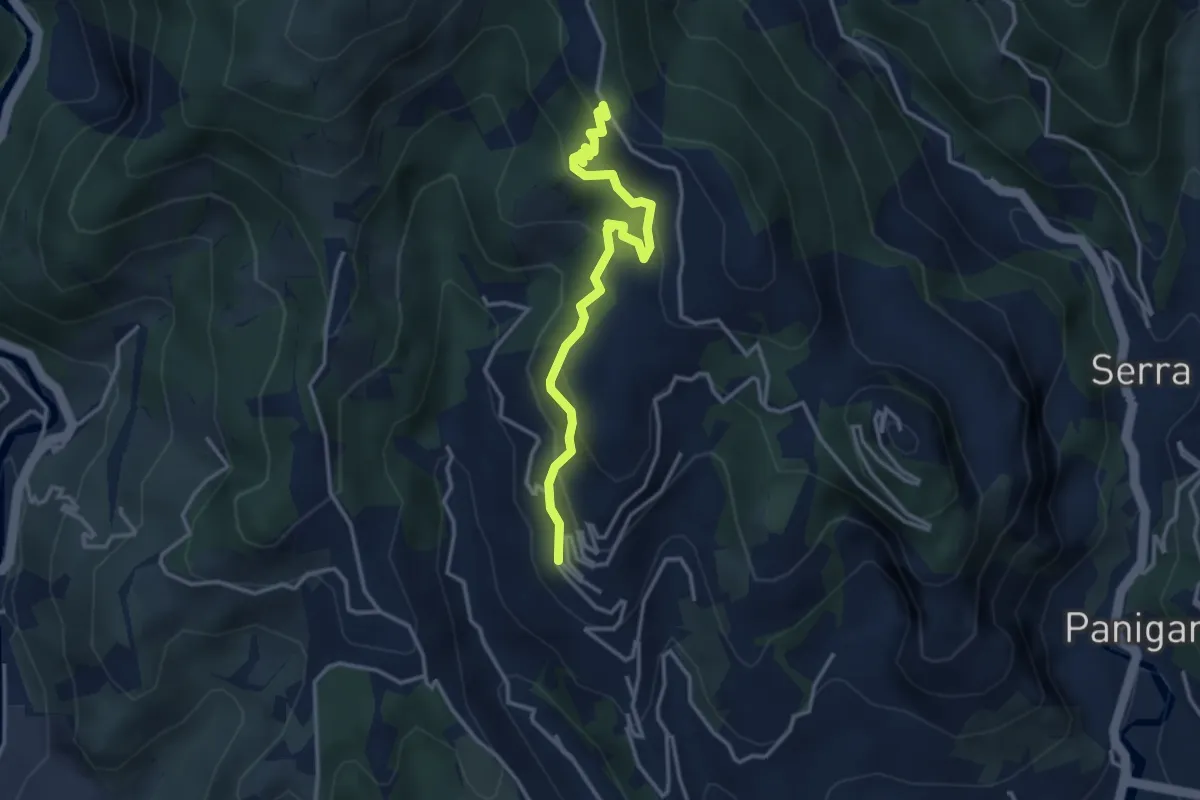
Easy · Trail
Capolinea 51 - Pian di Croce
3.6 km · ↑ 268 m · 1 h 26 min · 13 km away
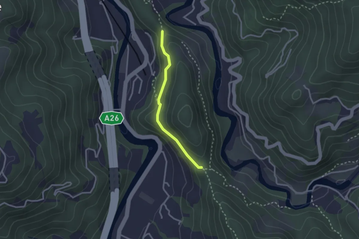
Medium · Trail
Raccordo Colle Maddalena
2.1 km · ↑ 70 m · 39 min · 14 km away
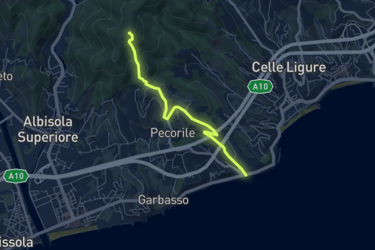
Demanding · Summit
Roglio - Torre del Bregalla
5.8 km · ↑ 254 m · 1 h 55 min · 14 km away
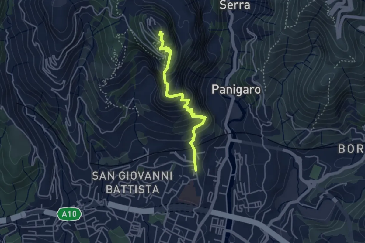
Medium · Trail
Sestri Ponente – Santuario Nostra Signora del Monte Gazzo
3.4 km · ↑ 341 m · 1 h 32 min · 14 km away
Medium · Trail
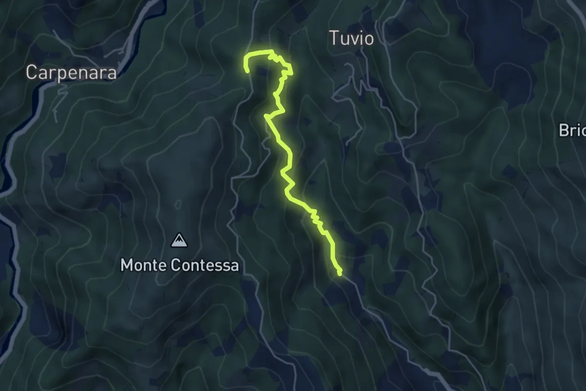
Bianchetta - Gneo - Coppo
4.3 km · ↑ 385 m · 1 h 51 min · 14 km away
Medium · Summit
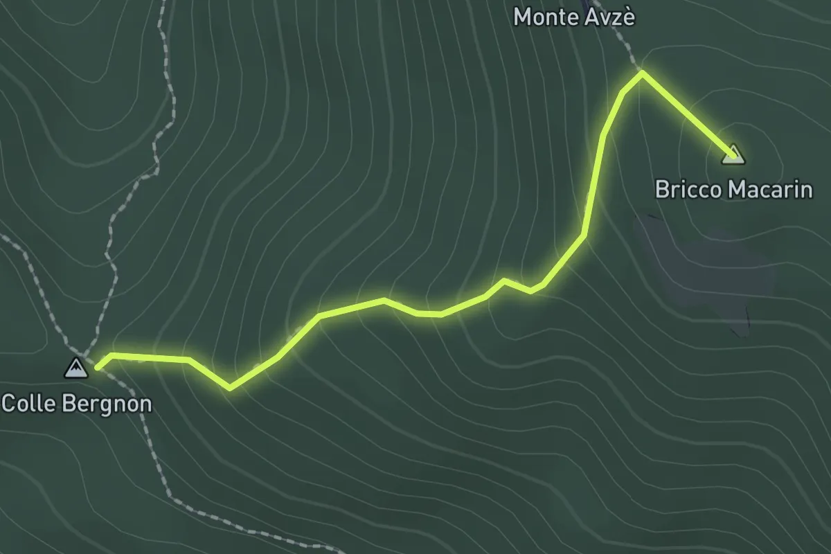
Colle Bergnon - Monte Avze'
2.1 km · ↑ 205 m · 56 min · 14 km away
Medium · Summit
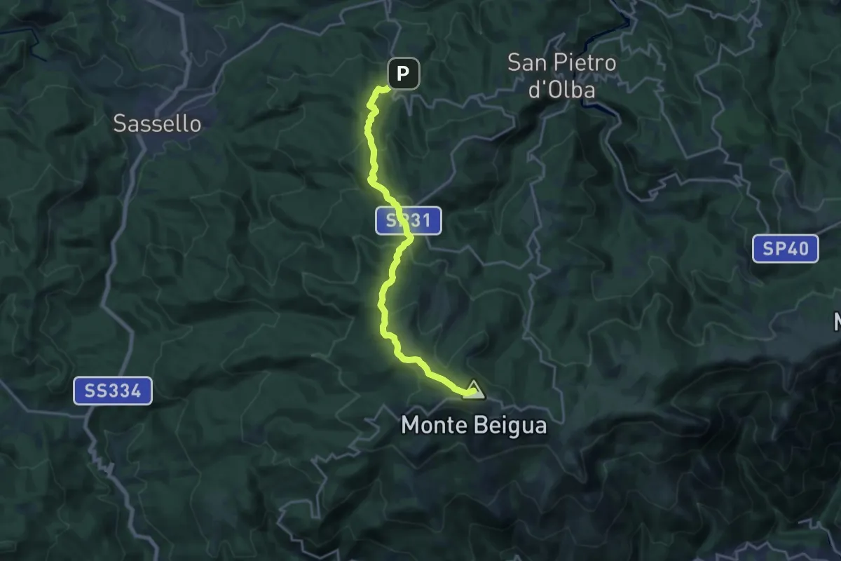
Palo – Monte Beigua
16.9 km · ↑ 694 m · 5 h 29 min · 14 km away
Demanding · Summit
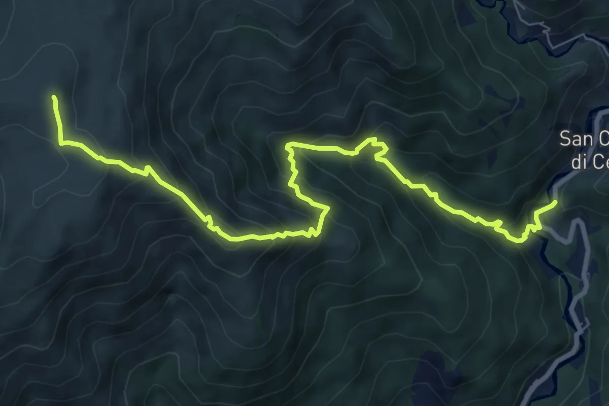
San Carlo di Cese – Monte Penello
8.7 km · ↑ 827 m · 3 h 51 min · 14 km away
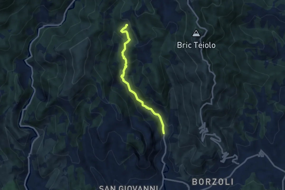
Medium · Trail
Panigaro – San Pietro ai Prati
6.1 km · ↑ 425 m · 2 h 22 min · 14 km away
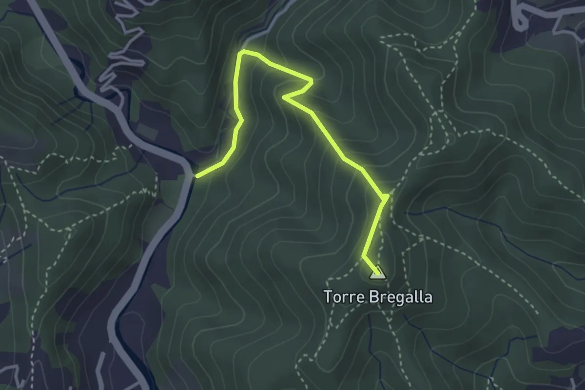
Demanding · Summit
Albisola - Via dei Siri - Torre Bregalla - Strada Santuario della Pace
3.3 km · ↑ 215 m · 1 h 15 min · 15 km away
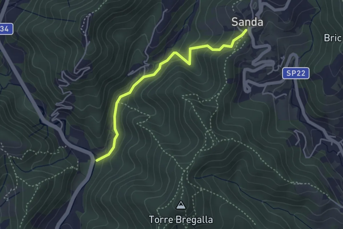
Easy · Trail
Santuario della Pace - Remenone - Sanda
3.6 km · ↑ 192 m · 1 h 16 min · 15 km away
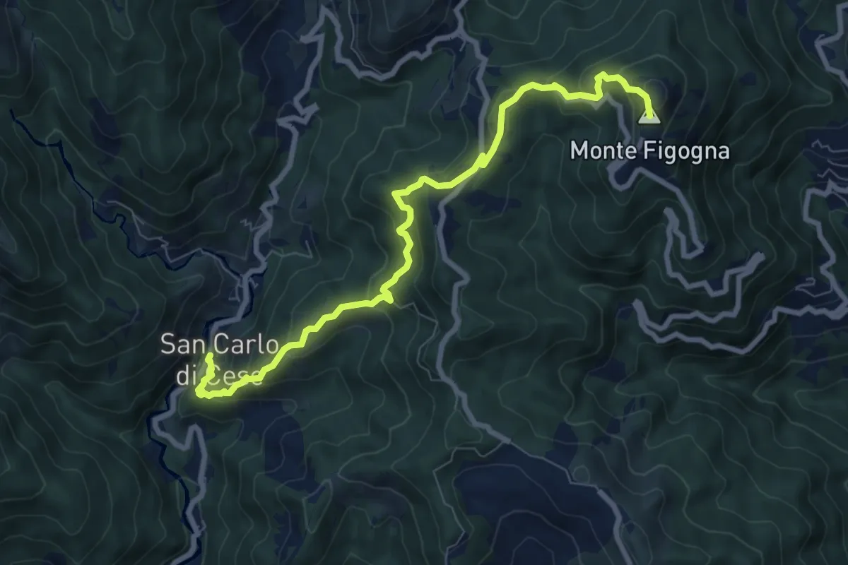
Medium · Summit
San Carlo di Cese – Madonna della Guardia
8.5 km · ↑ 556 m · 3 h 13 min · 15 km away
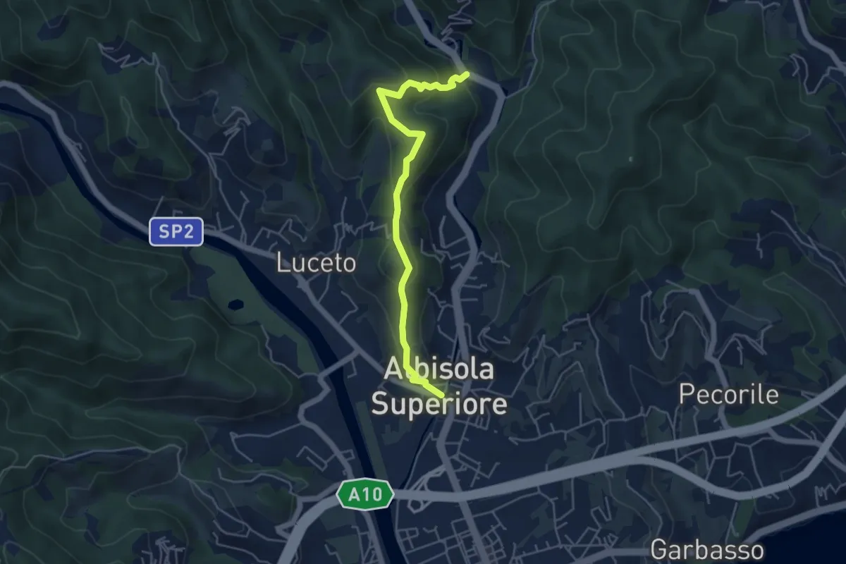
Medium · Summit
Chiesa di San Nicolò - Castellaro - Santuario della Pace
2.4 km · ↑ 134 m · 54 min · 15 km away
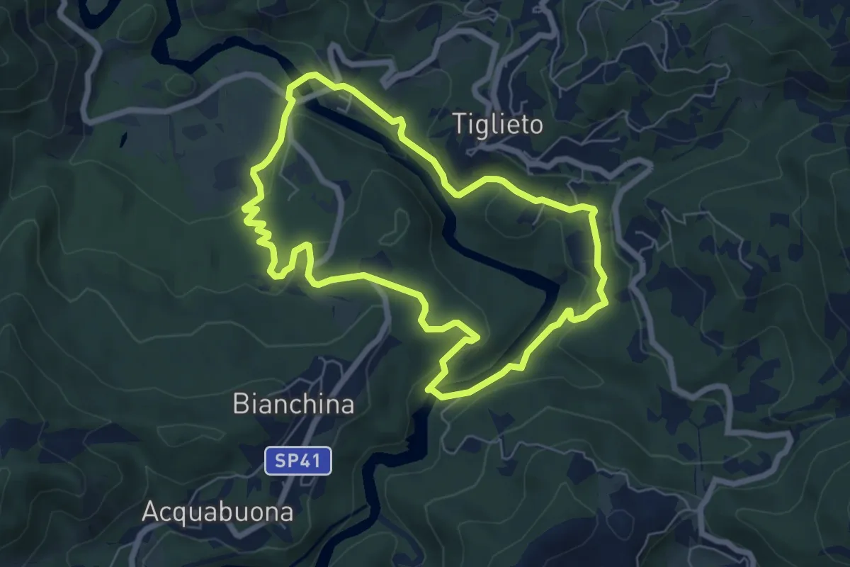
Medium · Trail
Anello della Badia di Tiglieto
6.1 km · ↑ 187 m · 1 h 56 min · 15 km away
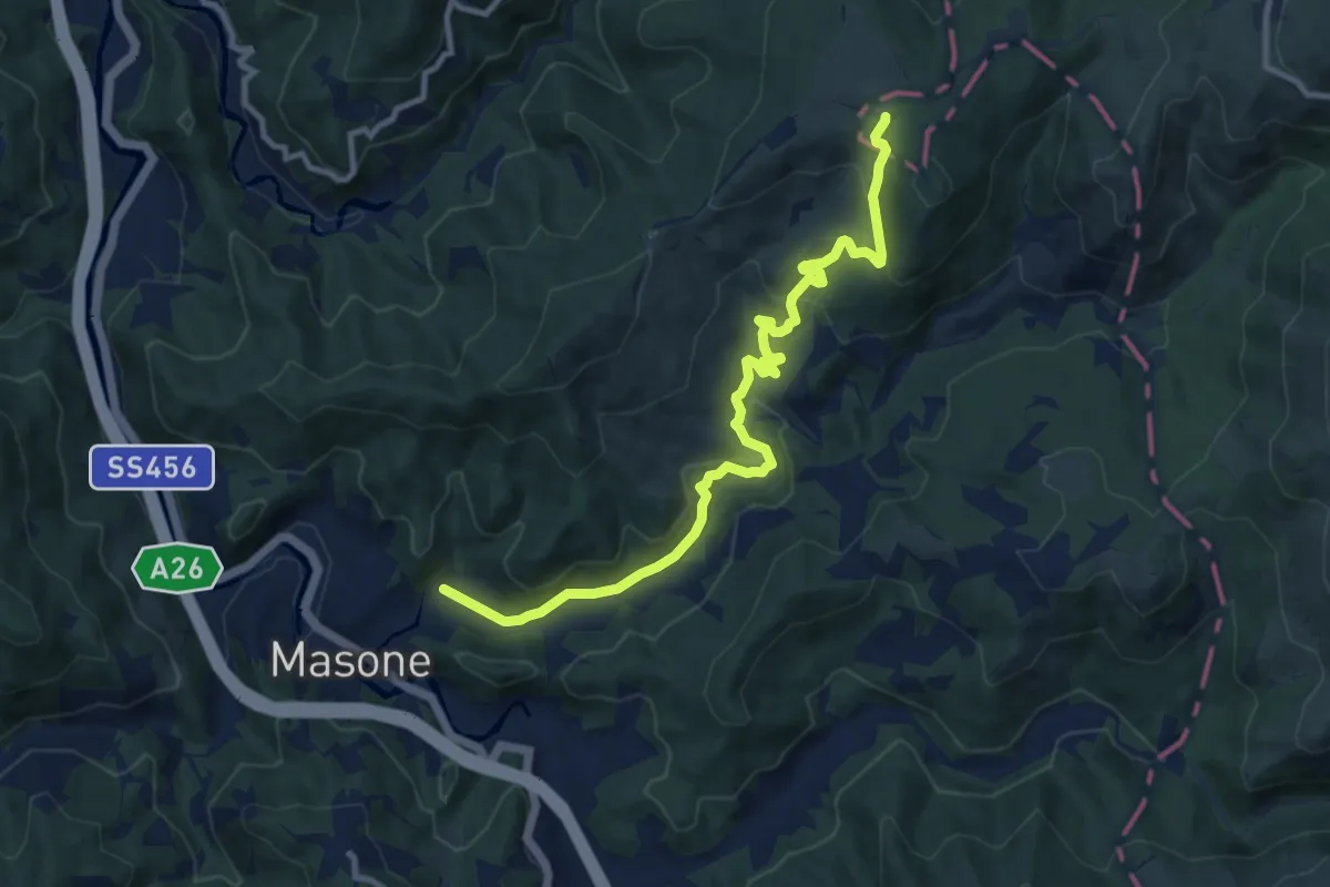
Medium · Trail
Masone – Pratorondanino
11.3 km · ↑ 388 m · 3 h 30 min · 15 km away
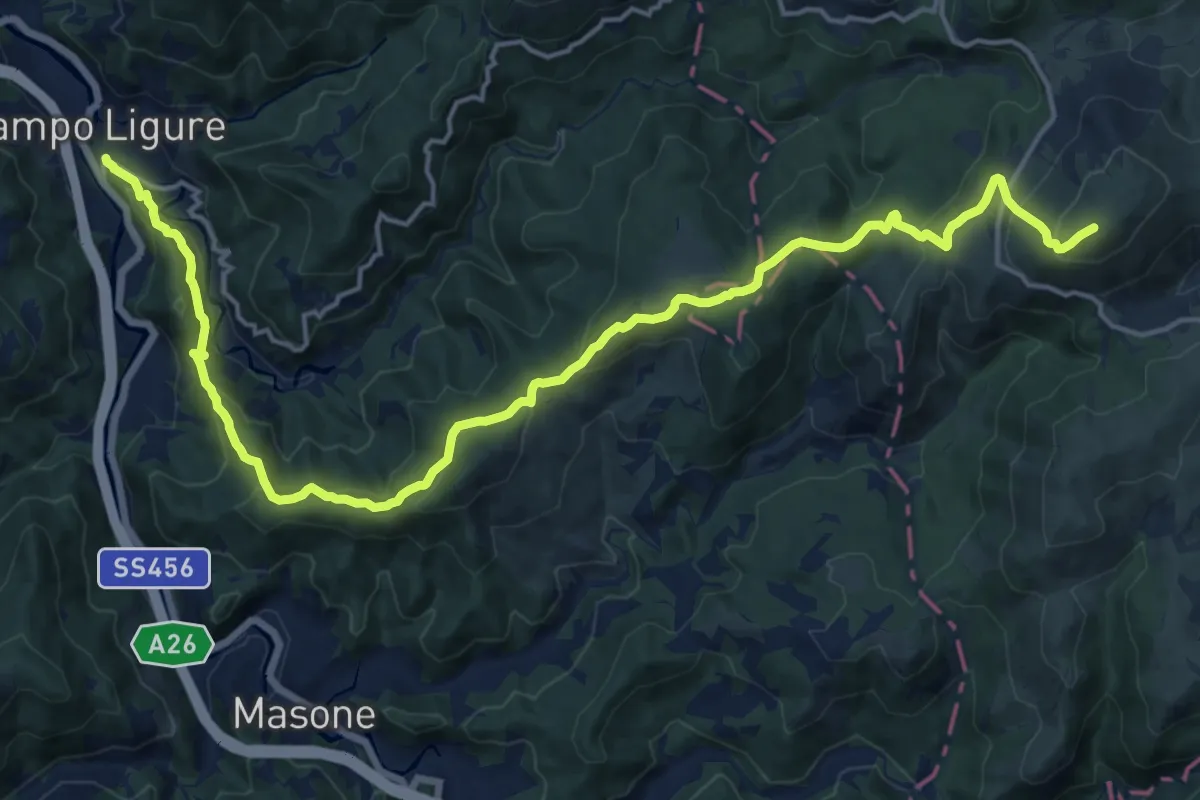
Demanding · Summit
Campo Ligure – Prato Rondanino
20.8 km · ↑ 937 m · 6 h 56 min · 15 km away
Medium · Summit
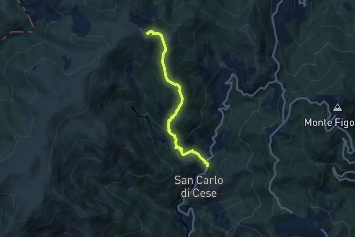
San Carlo di Cese – Monte Proratado
6.5 km · ↑ 587 m · 2 h 49 min · 15 km away
Demanding · Summit
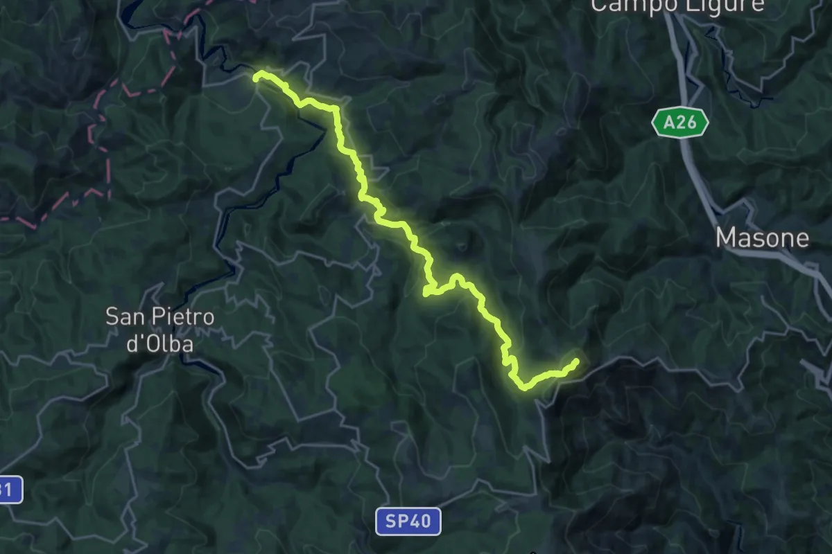
Badia di Tiglieto - Bric del Dente
22.3 km · ↑ 968 m · 7 h 21 min · 15 km away
Easy · Trail
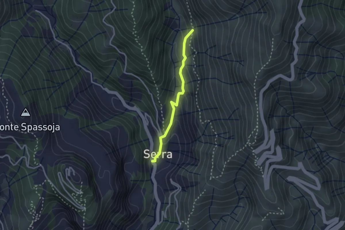
Panigaro - Serra di Panigaro - Bivio sentiero per Cassinelle
2.3 km · ↑ 157 m · 52 min · 15 km away
Medium · Summit
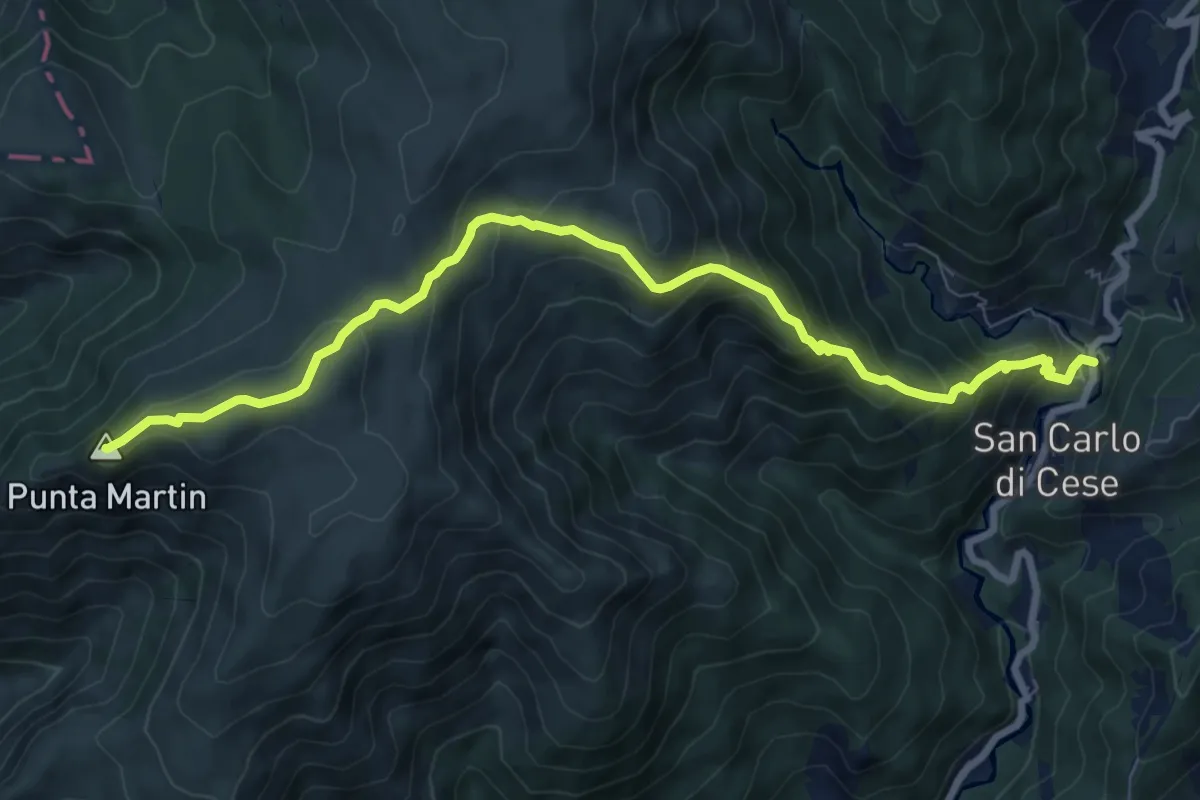
San Carlo di Cese - Punta Martin
9.5 km · ↑ 703 m · 3 h 46 min · 15 km away