Trails near Arona
161 hikes starting within 15 km, nearest first.
Nearest first, page 1 of 4
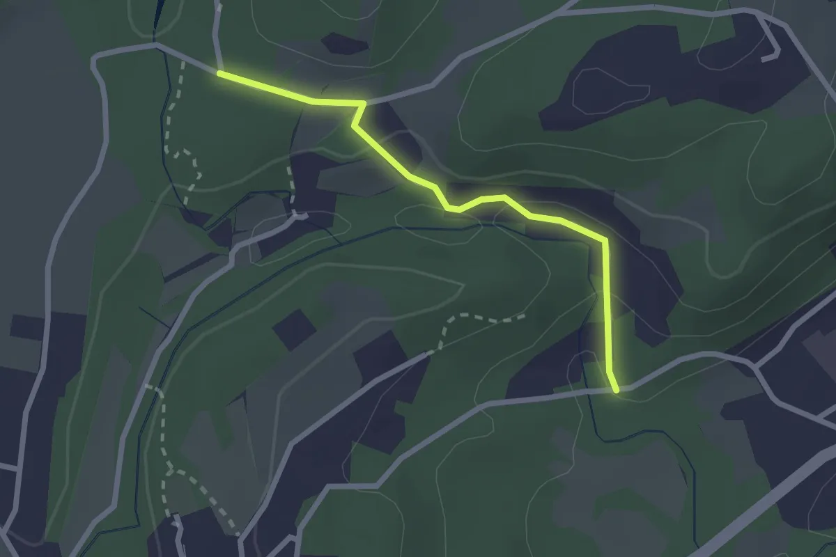
Easy · Trail
VA1a - Cascina Maglia - Cicognone di Sotto
2.2 km · ↑ 69 m · 40 min · 2 km away
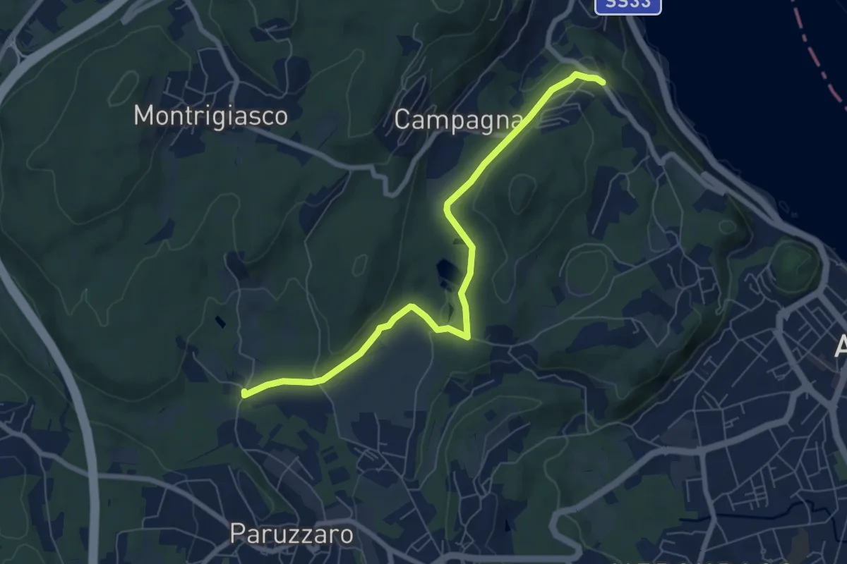
Easy · Trail
VA1 - Arona - Paruzzaro
7.1 km · ↑ 112 m · 1 h 55 min · 2 km away
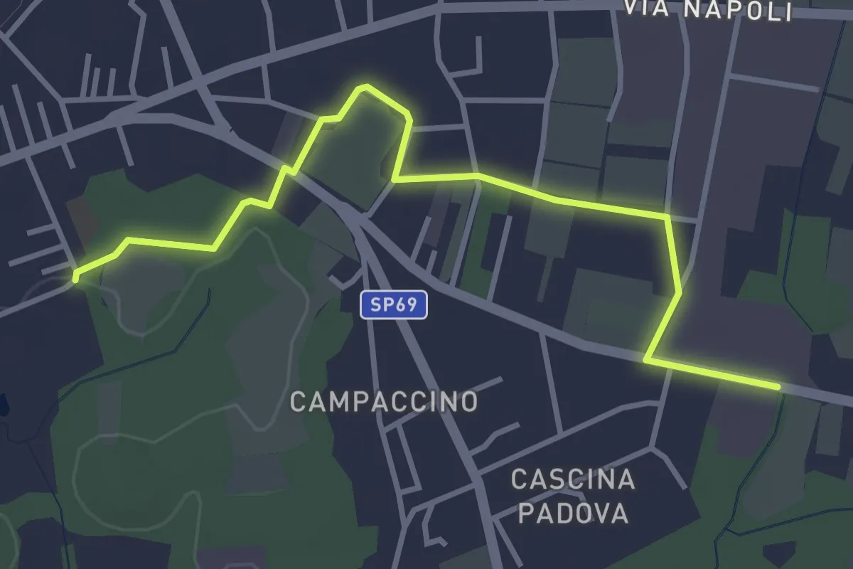
Easy · Trail
613D Sentiero dell'Oasi della Bruschera - Variante D
3.7 km · ↑ 9 m · 54 min · 2 km away
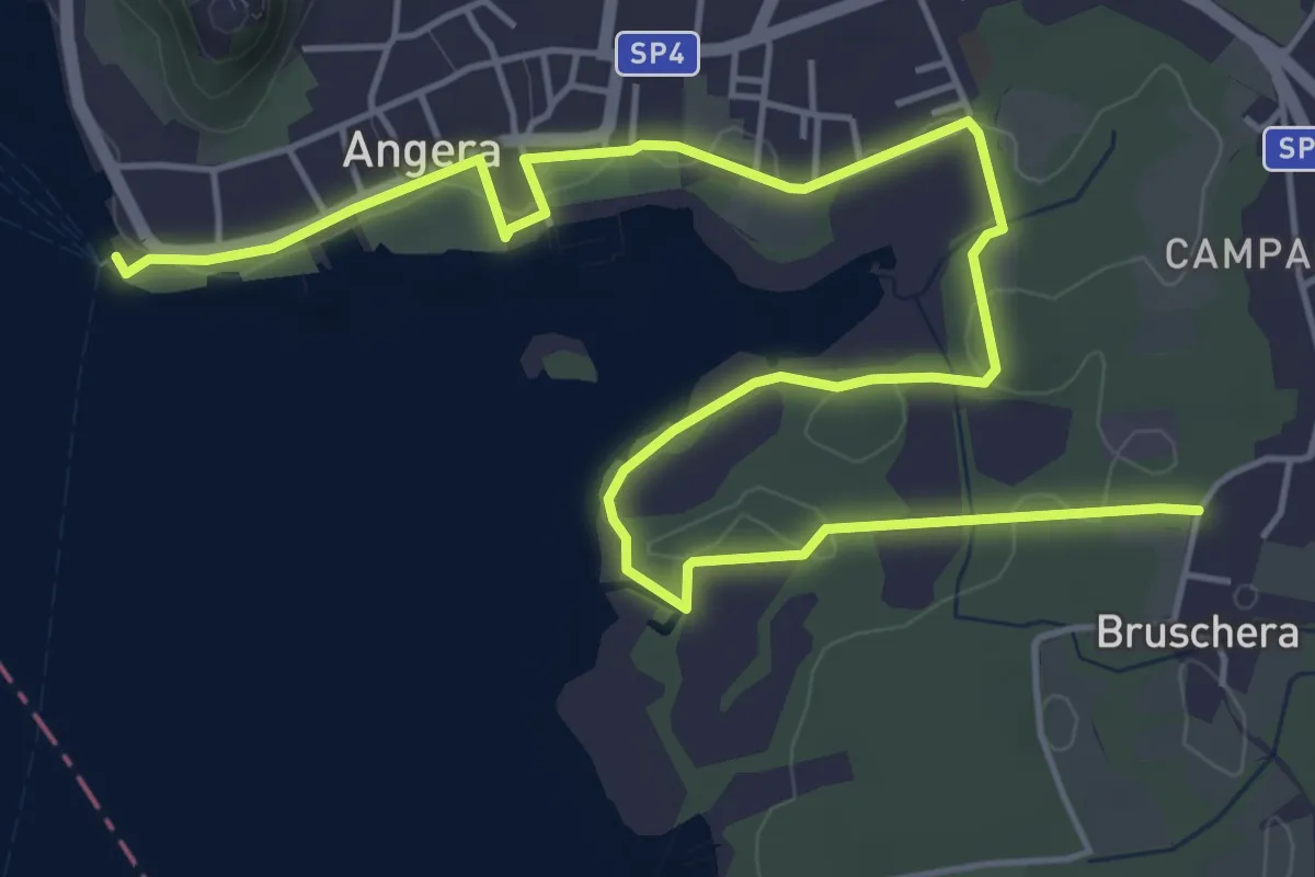
Easy · Trail
613 Sentiero dell'Oasi della Bruschera
7.7 km · ↑ 45 m · 1 h 56 min · 2 km away
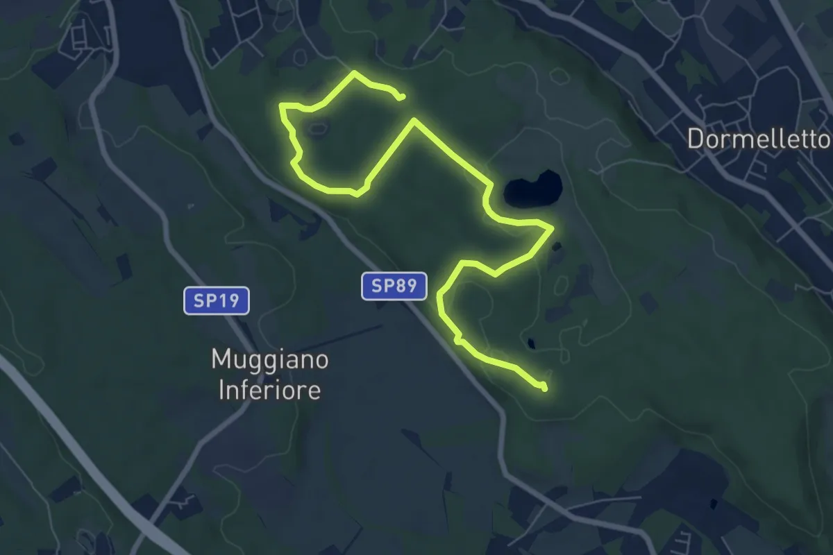
Medium · Summit
Le zone umide
8.7 km · ↑ 104 m · 2 h 17 min · 3 km away
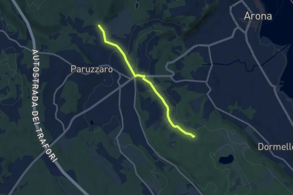
Easy · Trail
Oleggio Castello località Motto Lagone – Paruzzaro località San Eufemia, bivio NOAR09-NOAS08-NOAP02
6.4 km · ↑ 49 m · 1 h 37 min · 3 km away
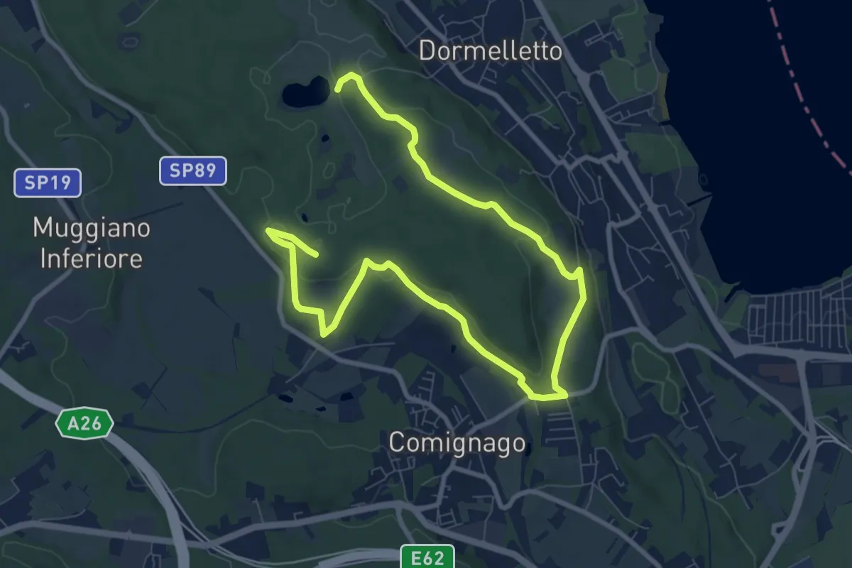
Medium · Summit
Le attività produttive
12.5 km · ↑ 194 m · 3 h 23 min · 3 km away
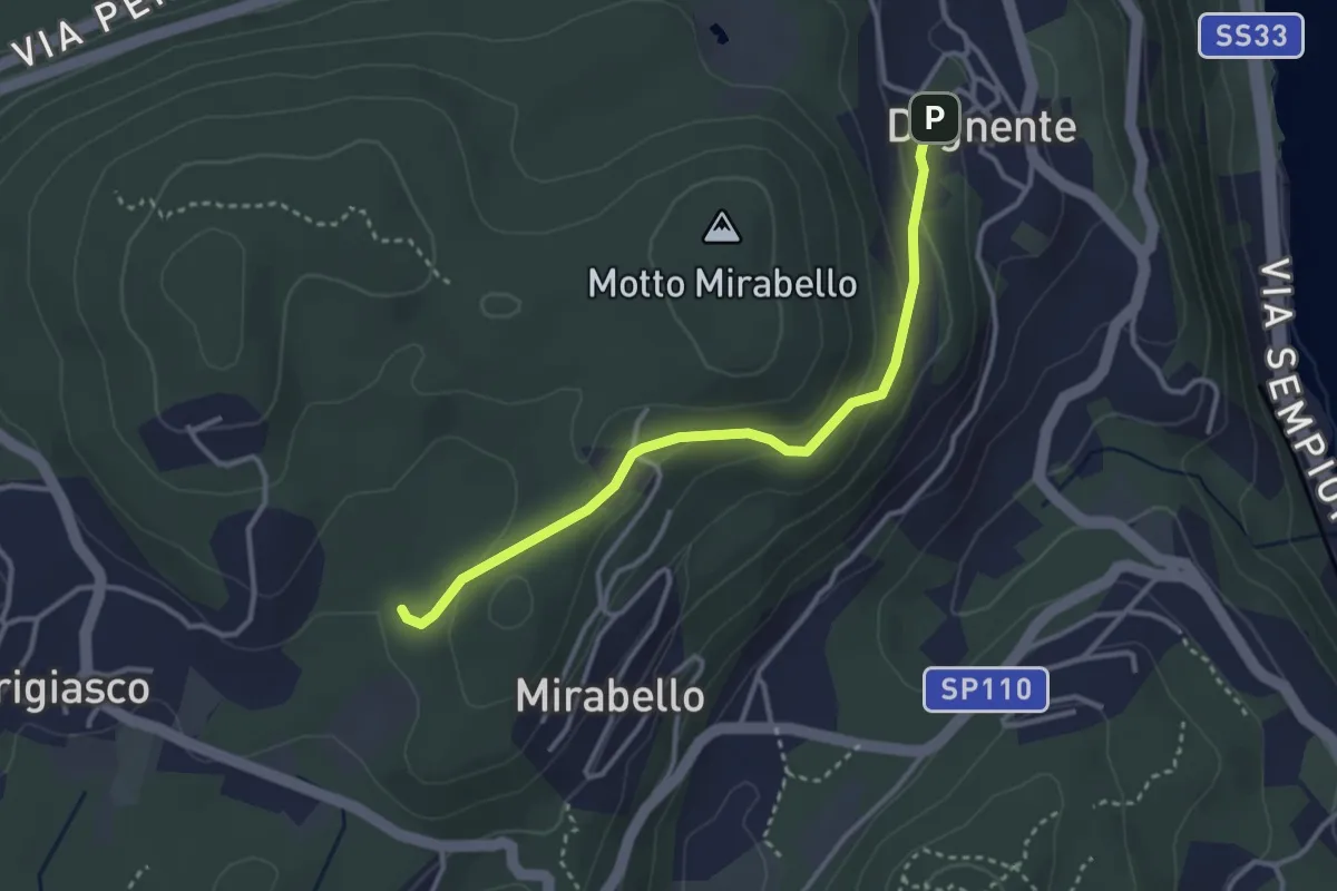
Easy · Trail
VA8 - Dagnente - Bivio VA9
3.3 km · ↑ 105 m · 1 h · 3 km away
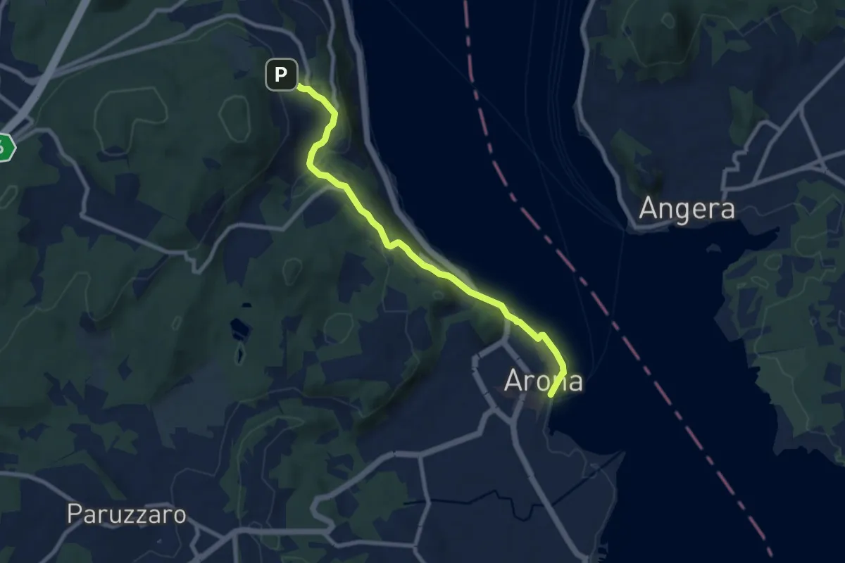
Medium · Trail
VA0 - Arona - Dagnente
8.1 km · ↑ 258 m · 2 h 28 min · 3 km away
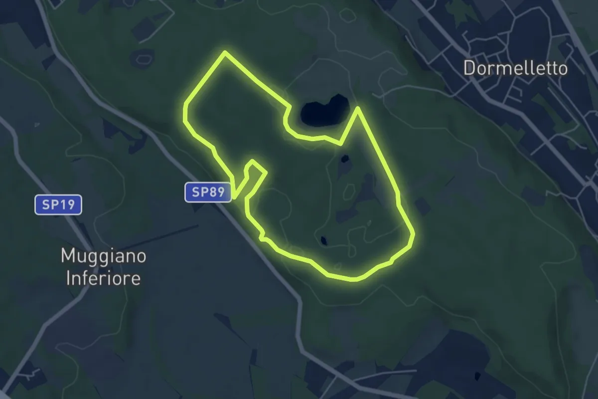
Easy · Summit
L'Archeologia
4.9 km · ↑ 73 m · 1 h 23 min · 3 km away
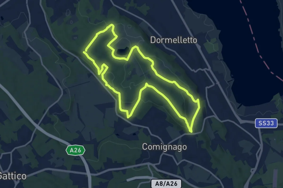
Medium · Summit
I boschi
10.1 km · ↑ 175 m · 2 h 53 min · 3 km away
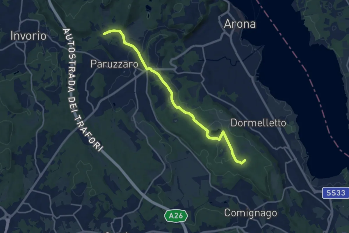
Medium · Summit
Sentiero Novara tappa 13
12.1 km · ↑ 108 m · 3 h 5 min · 4 km away
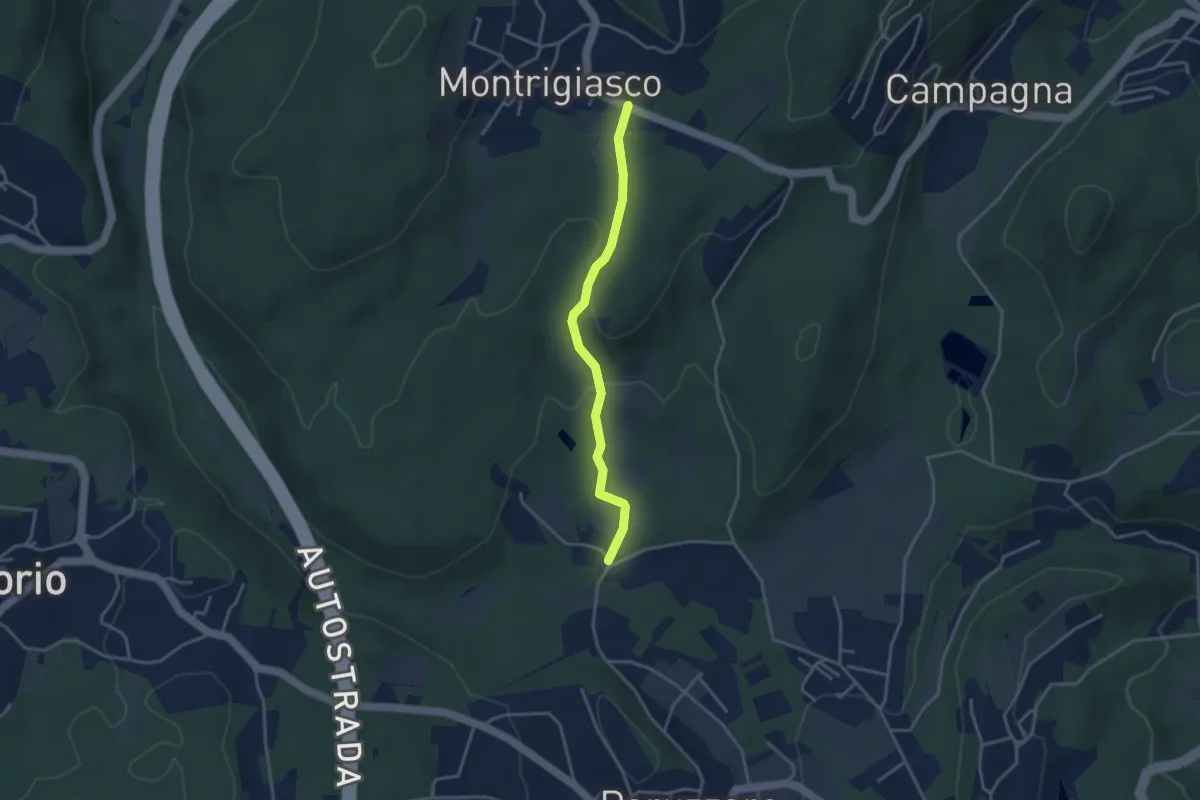
Easy · Trail
VA3 - Paruzzaro - Montrigiasco
3.3 km · ↑ 104 m · 1 h · 4 km away
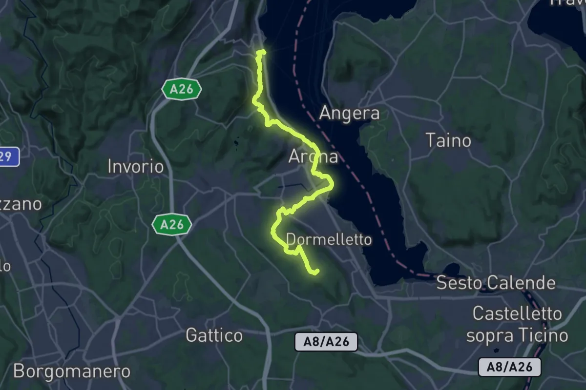
Demanding · Summit
Grand Tour del Lago Maggiore ® - Tappa 3 - Meina - Sesto Calende
24.3 km · ↑ 583 m · 7 h · 4 km away
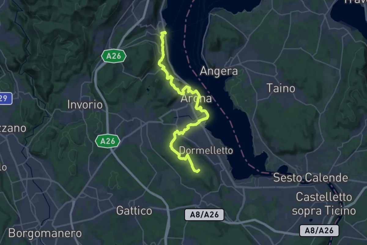
Demanding · Summit
Cammino del Lago Maggiore
26.9 km · ↑ 665 m · 7 h 47 min · 4 km away
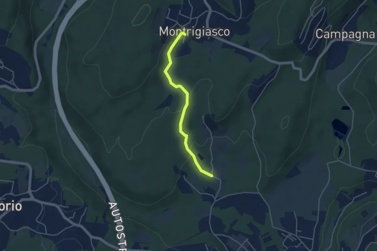
Easy · Trail
VA4 - Santa Eufemia - Montrigiasco
3.4 km · ↑ 118 m · 1 h 3 min · 4 km away
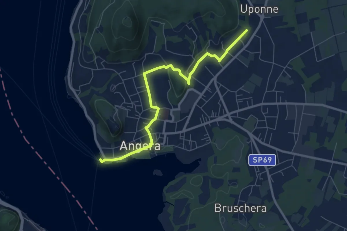
Easy · Trail
614E Sentiero delle Erbe e degli Alberi
7.0 km · ↑ 105 m · 1 h 53 min · 4 km away
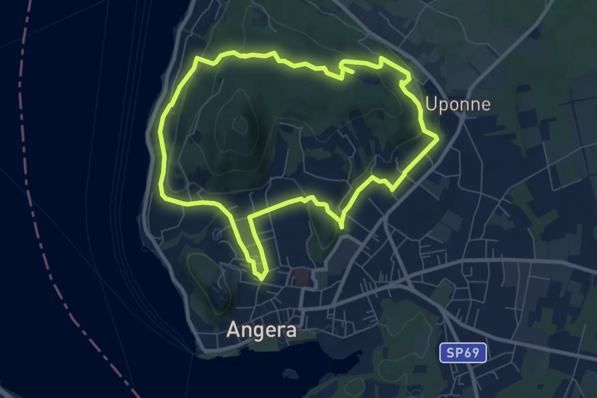
Easy · Trail
Anello di San Quirico
7.2 km · ↑ 171 m · 2 h 11 min · 4 km away
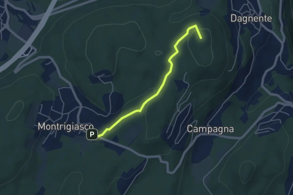
Medium · Summit
VA9 - Montrigiasco - Dagnente
3.6 km · ↑ 104 m · 1 h 4 min · 4 km away
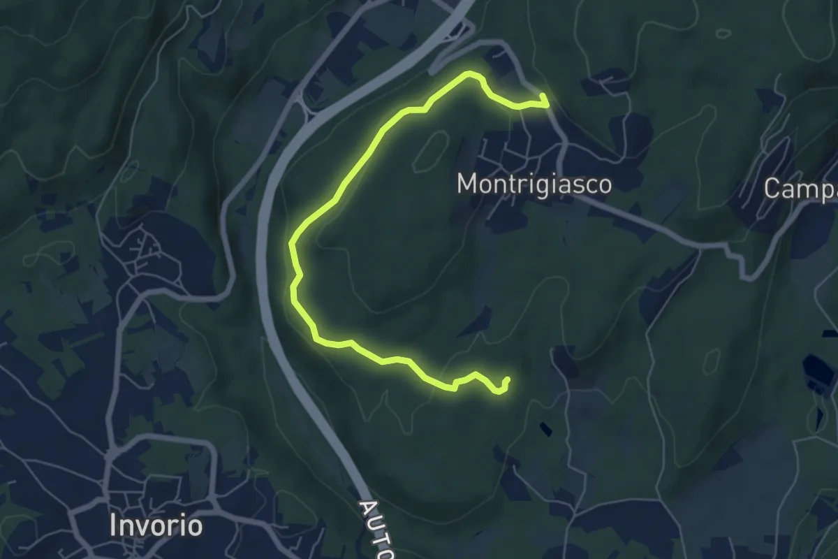
Easy · Trail
VA5 - Sant'Eufemia - Montrigiasco
6.6 km · ↑ 164 m · 1 h 55 min · 4 km away
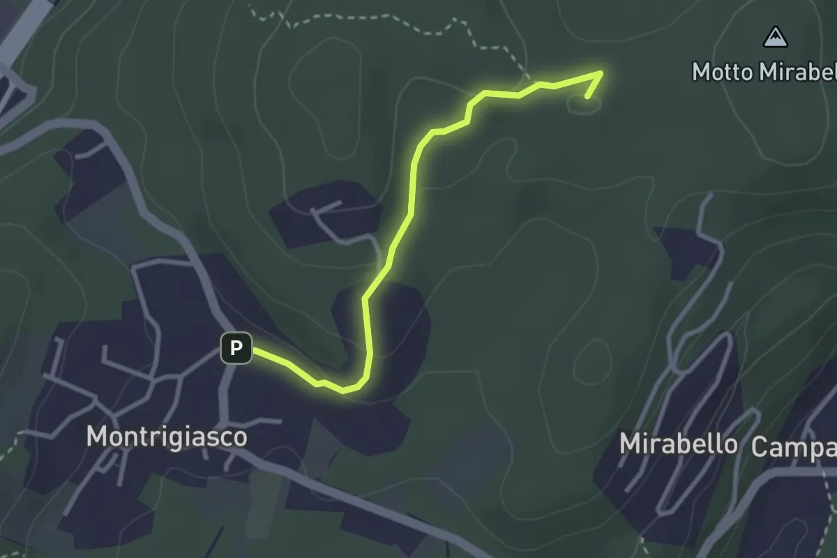
Easy · Summit
VA7 - Montrigiasco - Bivio VA8
2.7 km · ↑ 86 m · 50 min · 4 km away
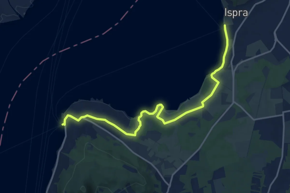
Medium · Trail
Ispra – Ranco
11.4 km · ↑ 137 m · 2 h 59 min · 4 km away
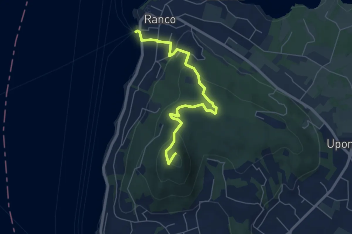
Demanding · Summit
Ranco – San Quirico
5.4 km · ↑ 235 m · 1 h 47 min · 4 km away
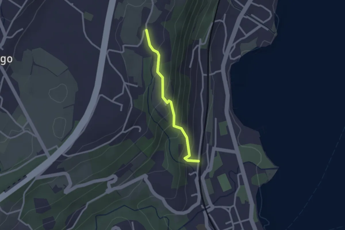
Easy · Trail
Percorso della Valcabbia
2.1 km · ↑ 146 m · 48 min · 4 km away
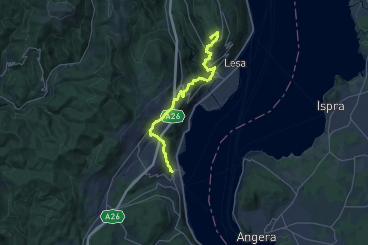
Demanding · Summit
Grand Tour del Lago Maggiore ® - Tappa 2 - Variante alta Monte alle Croci - Massino Visconti - Nebbiuno
18.1 km · ↑ 954 m · 6 h 20 min · 4 km away
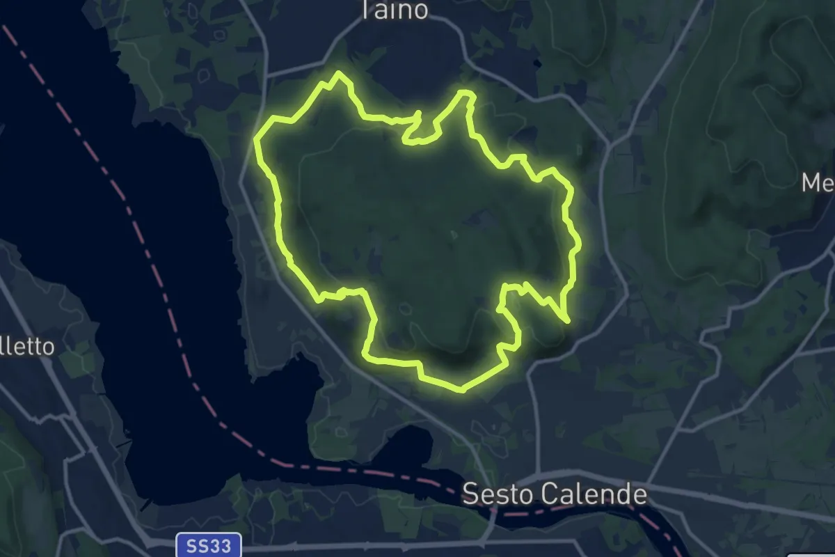
Medium · Trail
Anello delle castagne
12.7 km · ↑ 340 m · 3 h 55 min · 4 km away
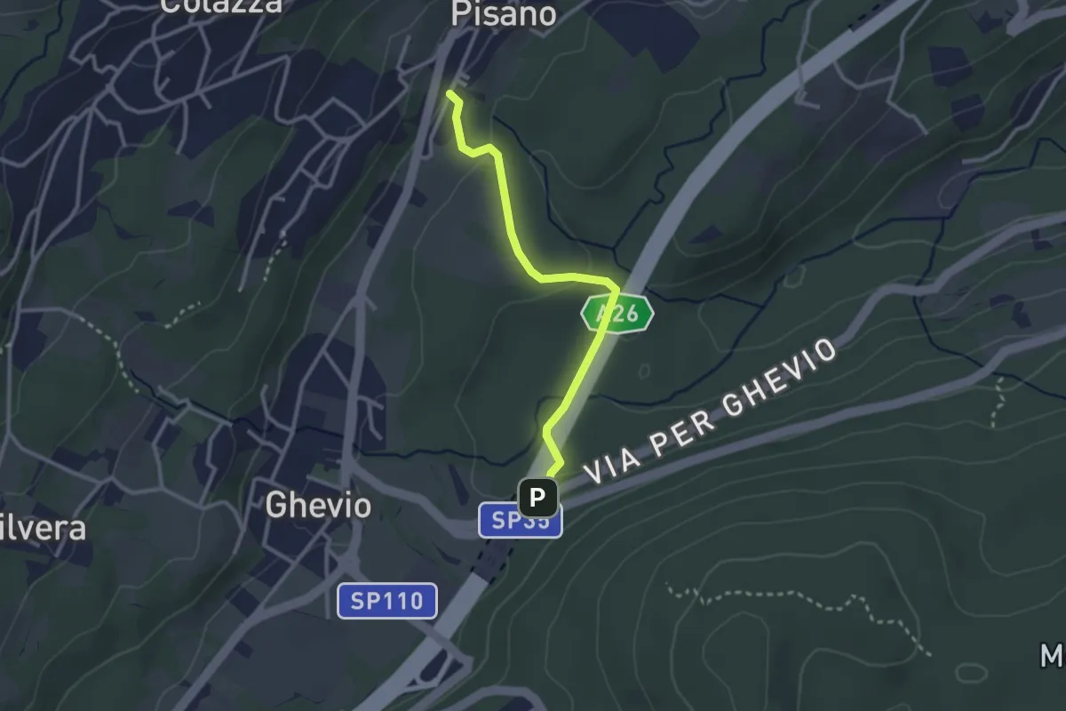
Easy · Trail
Meina – Pisano
2.6 km · ↑ 93 m · 49 min · 5 km away
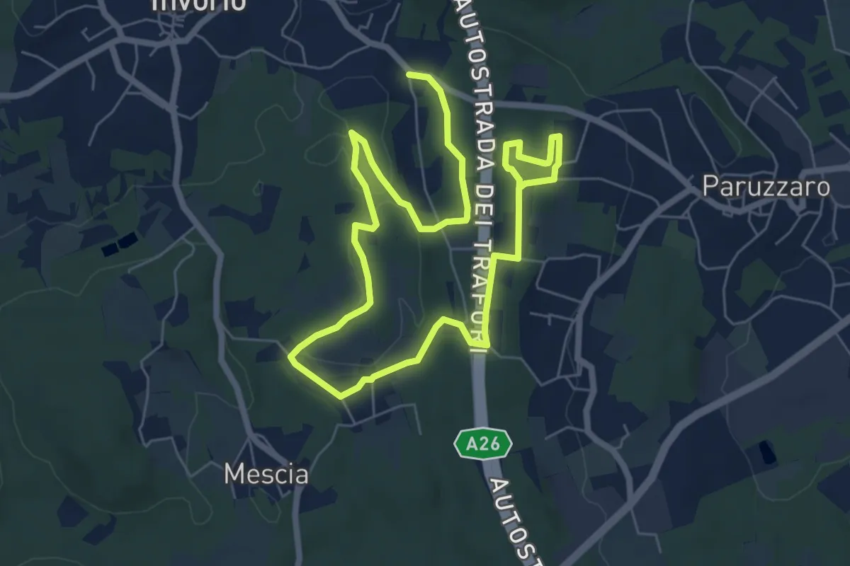
Easy · Trail
Percorso della Memoria
5.2 km · ↑ 55 m · 1 h 26 min · 5 km away
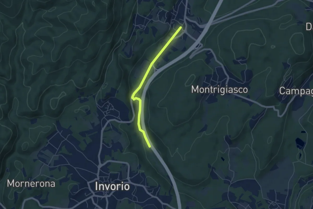
Easy · Trail
Bivio R08-S08, Meina – Bivio R05-R08, Ghevio
4.9 km · ↑ 82 m · 1 h 20 min · 5 km away
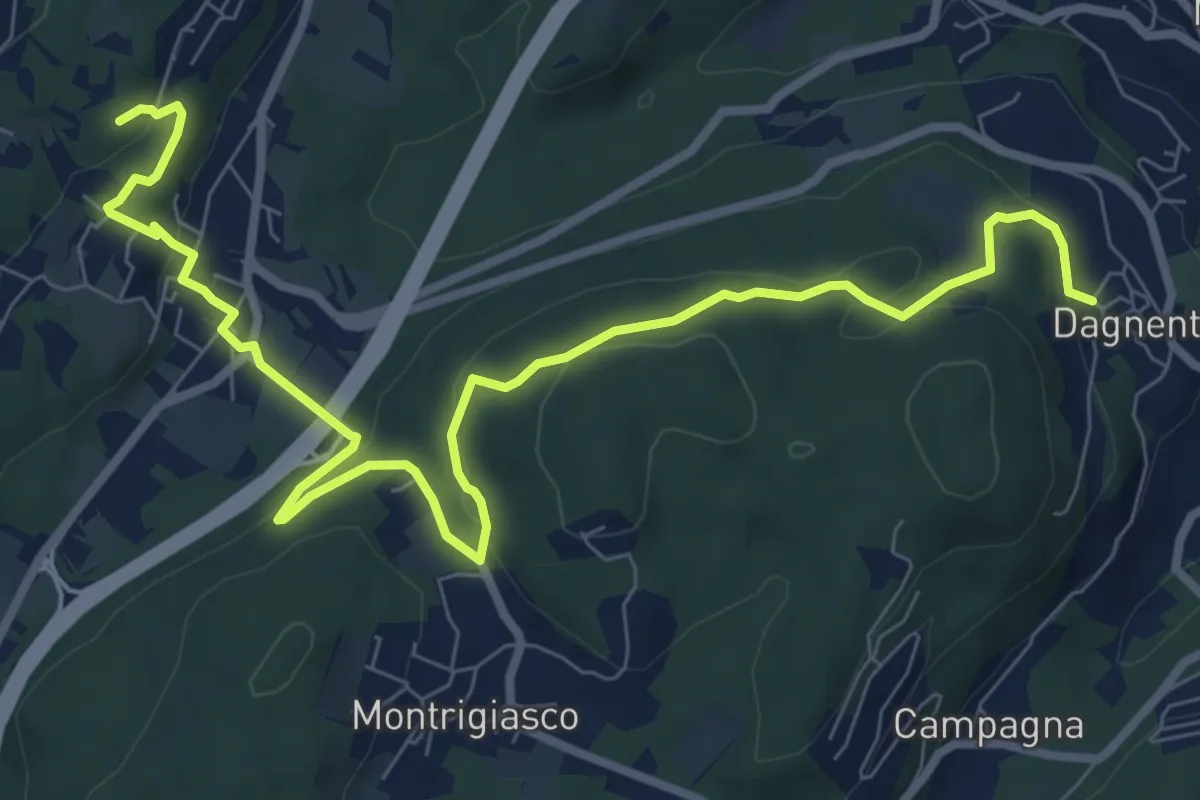
Medium · Trail
VA6 - Dagnente - Colazza
10.7 km · ↑ 321 m · 3 h 13 min · 6 km away
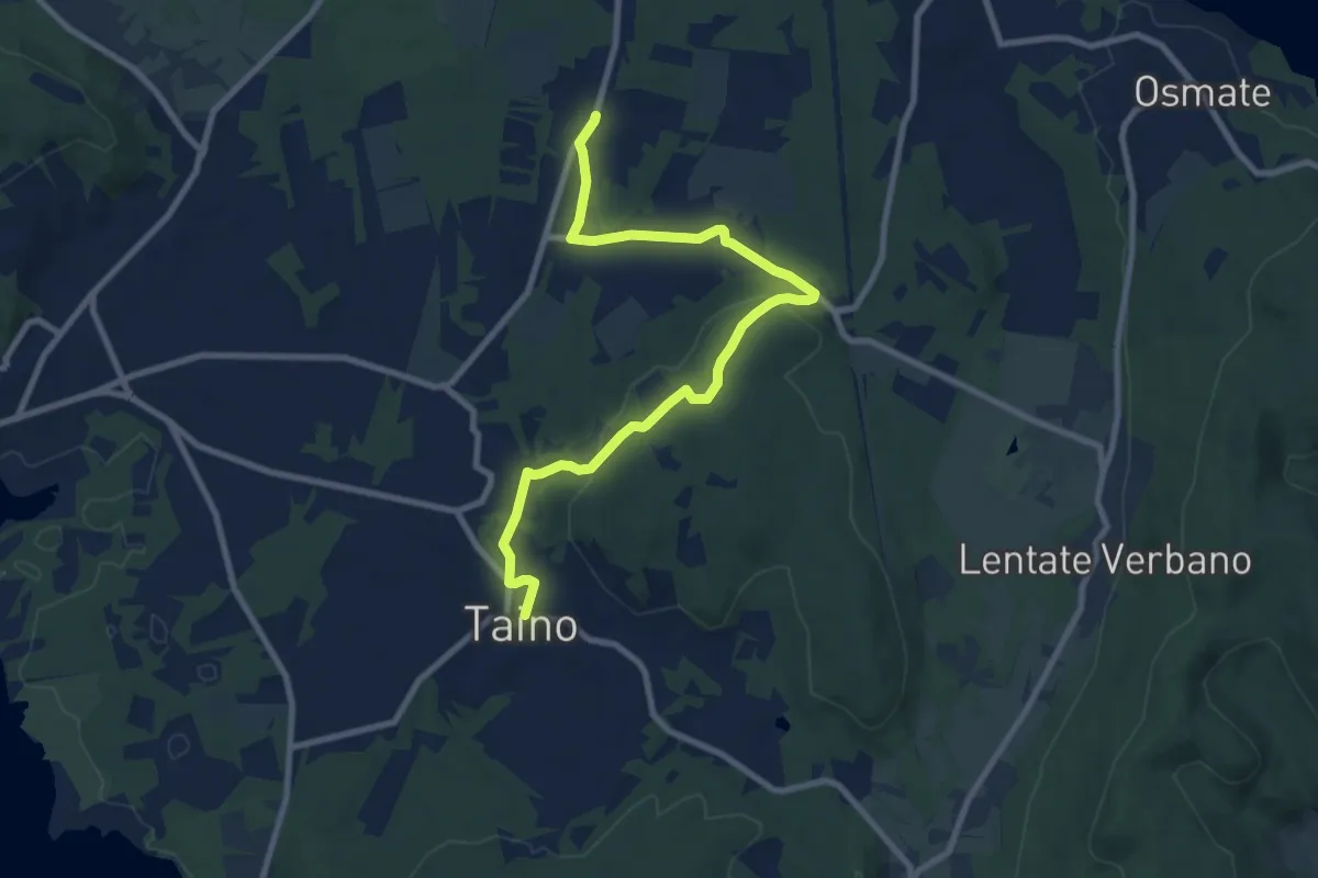
Medium · Trail
617 Sentiero della Lungo un filo di seta
9.9 km · ↑ 215 m · 2 h 48 min · 6 km away
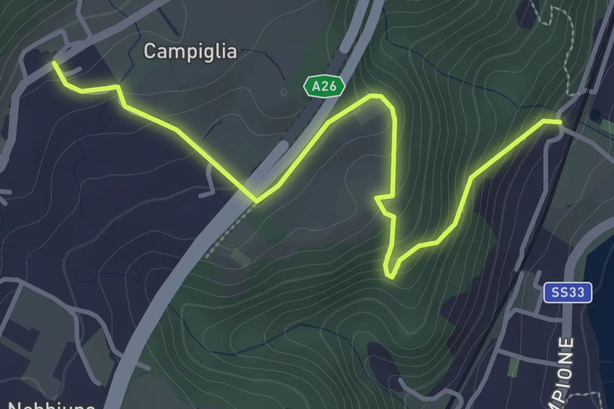
Easy · Trail
Sentiero Lesa - Nebbiuno
3.6 km · ↑ 242 m · 1 h 22 min · 6 km away
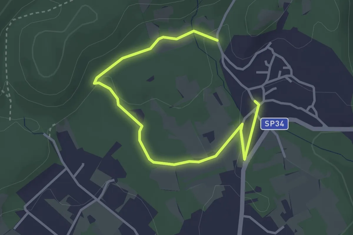
Easy · Trail
Un sentiero da favola - La via degli elfi
3.8 km · ↑ 51 m · 1 h · 6 km away
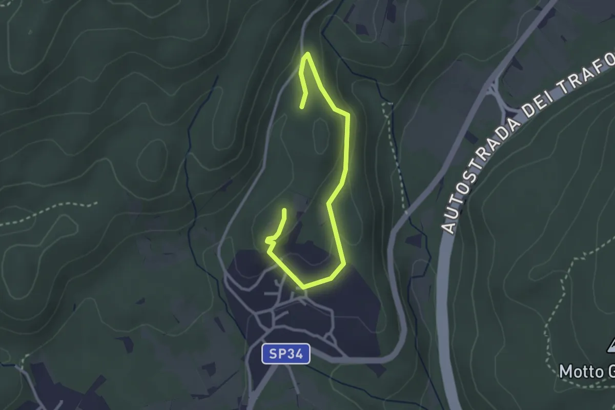
Easy · Trail
Un sentiero da favola - La via dei folletti
3.1 km · ↑ 87 m · 55 min · 6 km away
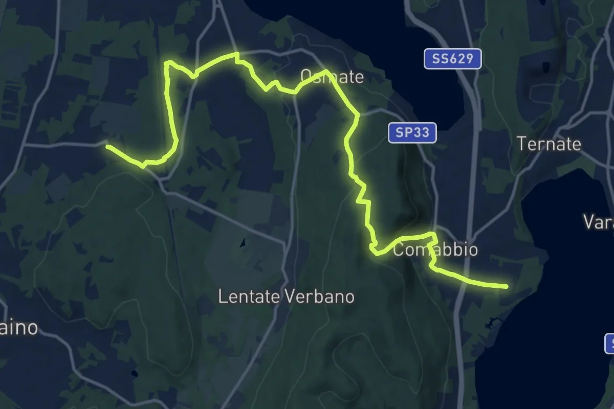
Medium · Trail
Sentiero dei lavatoi
16.9 km · ↑ 422 m · 4 h 55 min · 6 km away
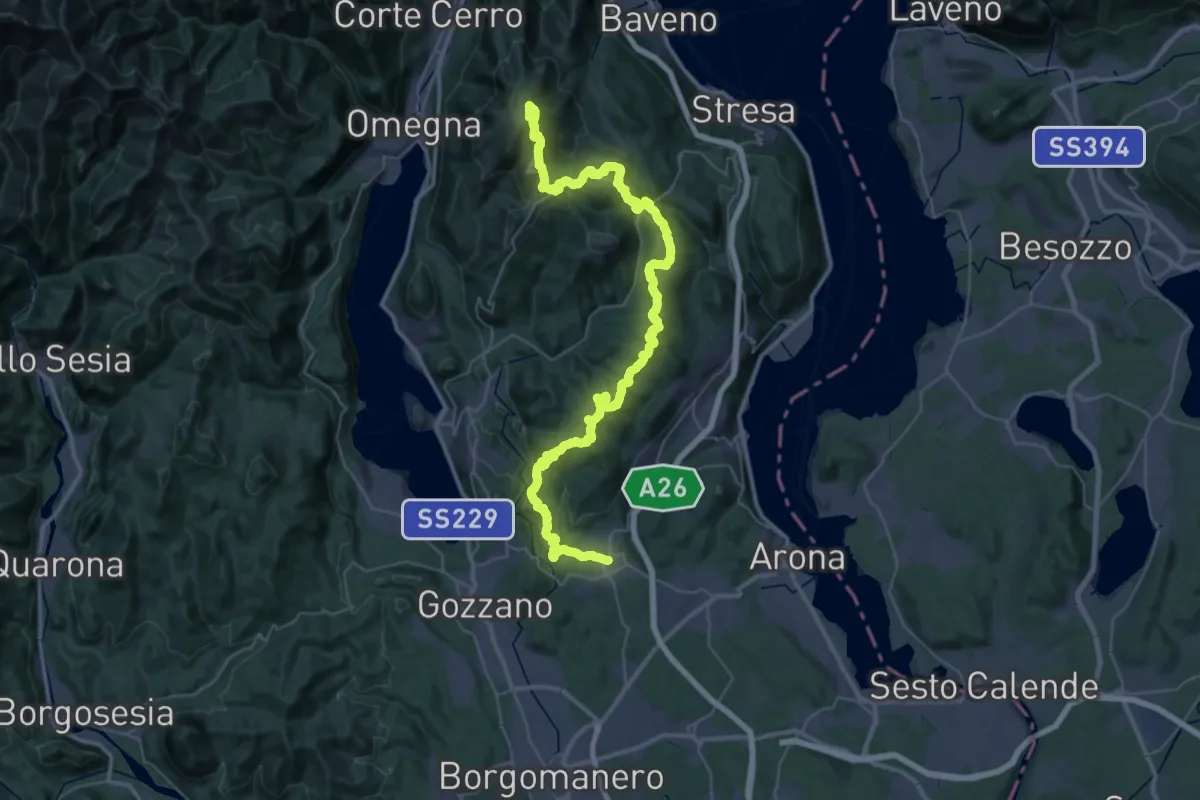
Demanding · Summit
V00 - Dorsale Vergante
57.1 km · ↑ 2393 m · 18 h 39 min · 6 km away
Demanding · Summit
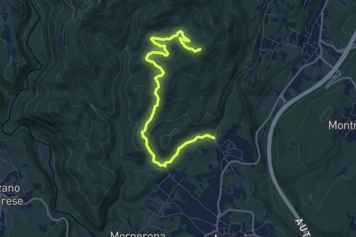
VE1 - Invorio - Bocchetta Borsaga
9.8 km · ↑ 499 m · 3 h 23 min · 6 km away
Medium · Trail
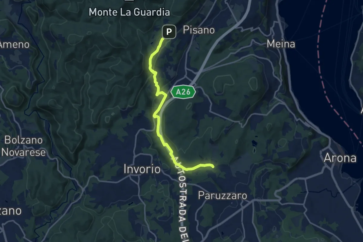
VA2 - Paruzzaro - Colazza
12.0 km · ↑ 334 m · 3 h 34 min · 6 km away
Easy · Summit
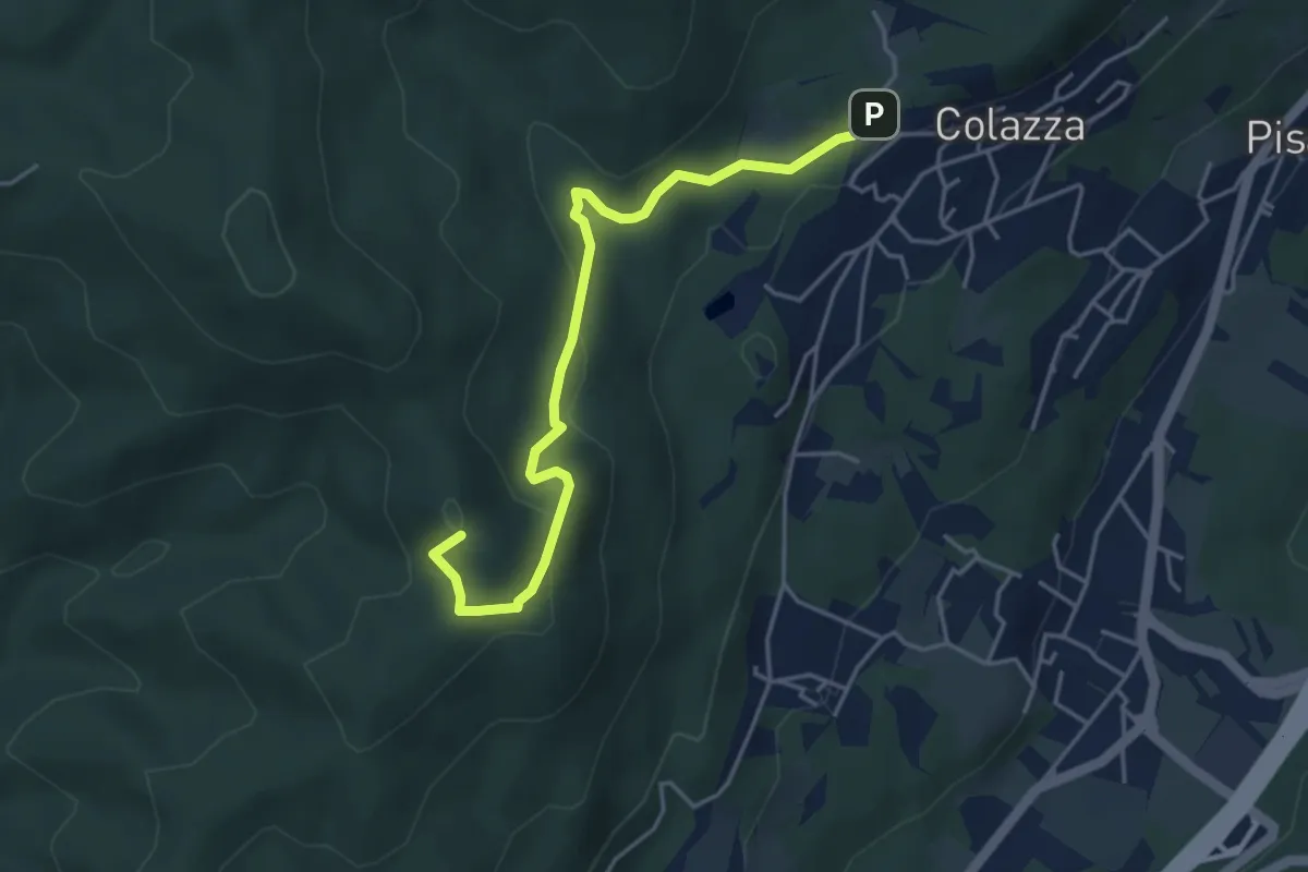
VE2 - Colazza - Cappella del Vago
4.5 km · ↑ 190 m · 1 h 28 min · 6 km away
Easy · Trail
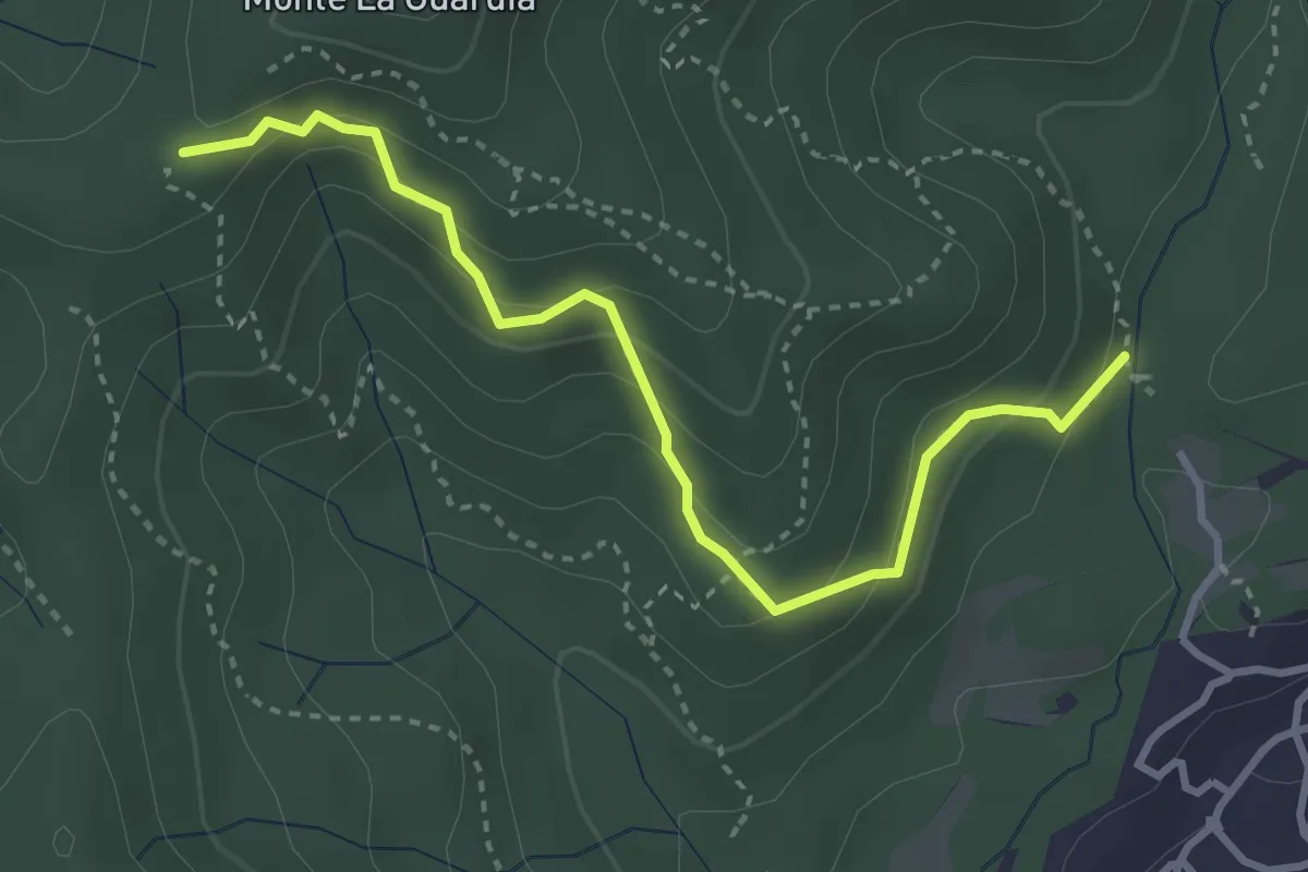
VE4 - Colazza - Alpe Gallone
3.6 km · ↑ 249 m · 1 h 23 min · 6 km away
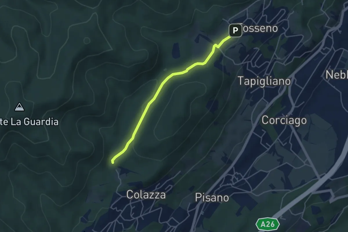
Easy · Trail
VF1 - Colazza - Fosseno
3.9 km · ↑ 54 m · 1 h 3 min · 6 km away
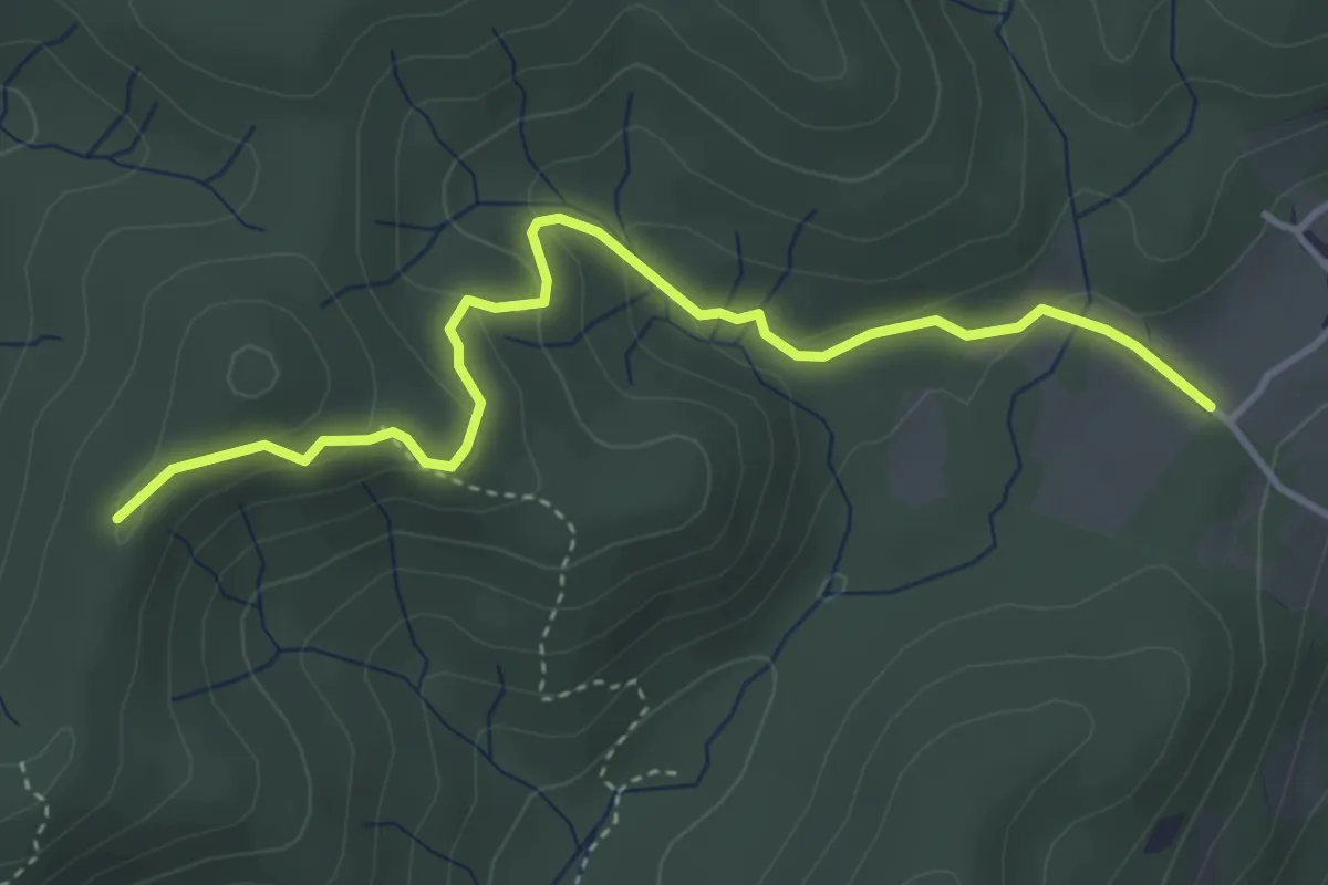
Easy · Trail
VF3 - Fosseno - Alpe del Bosco
4.1 km · ↑ 214 m · 1 h 26 min · 7 km away
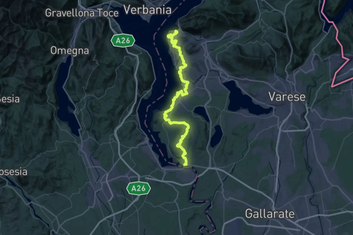
Demanding · Summit
289 Dorsale del Verbano - Agenda21Laghi
75.4 km · ↑ 1295 m · 20 h 37 min · 7 km away
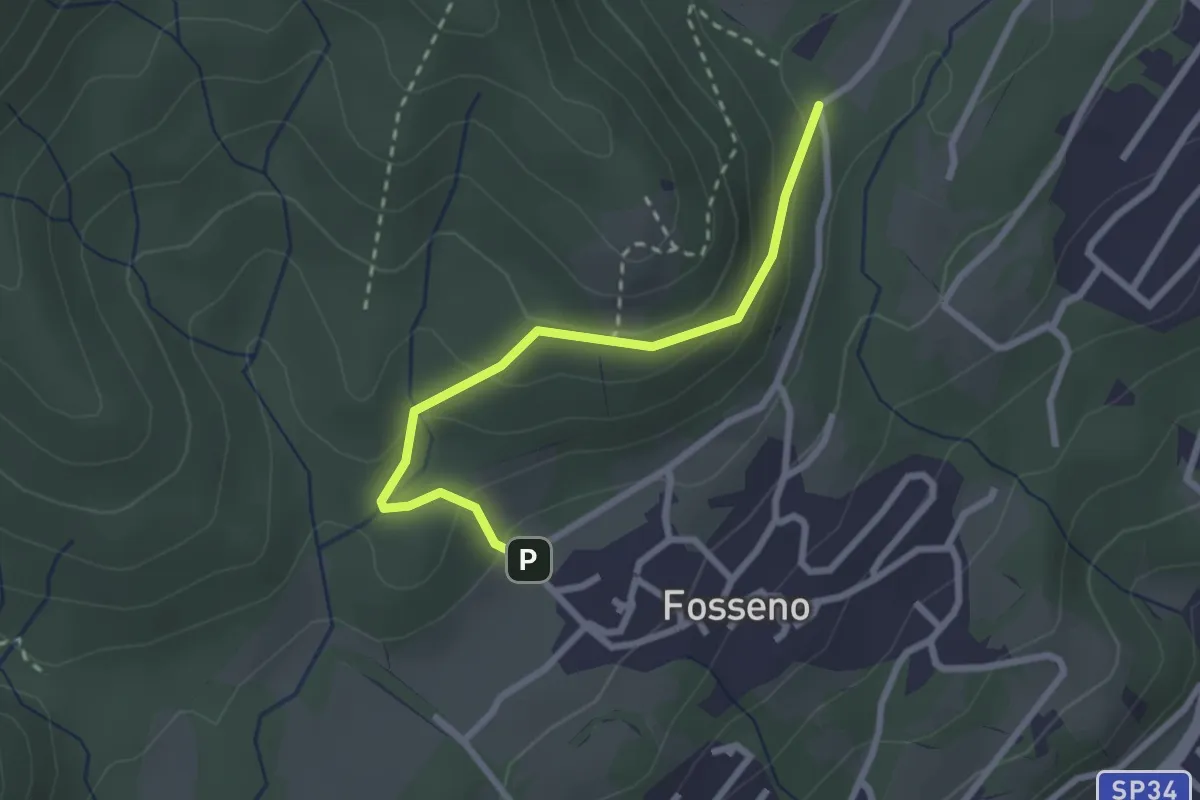
Easy · Trail
VF6 - Fosseno - Lavarina
2.5 km · ↑ 139 m · 54 min · 7 km away
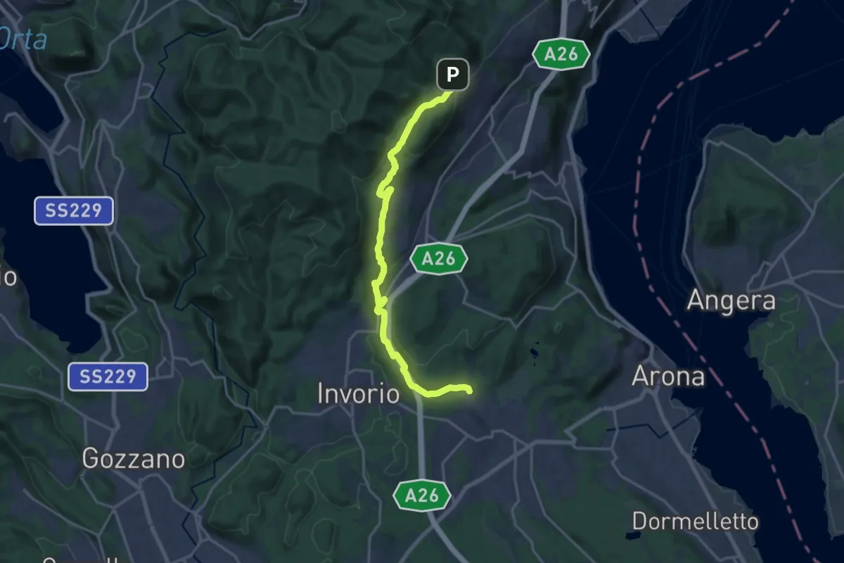
Medium · Trail
Sentiero Novara tappa 14
17.5 km · ↑ 430 m · 5 h 4 min · 7 km away
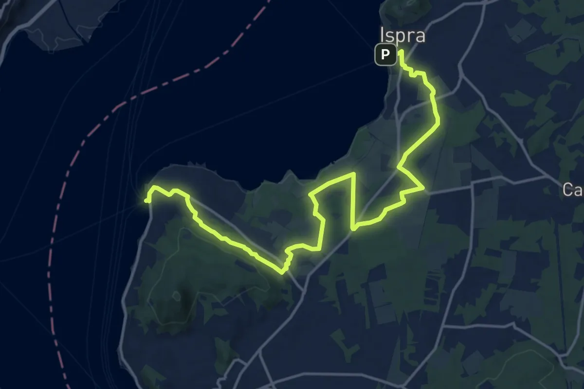
Demanding · Trail
Ranco – Ispra
18.1 km · ↑ 215 m · 4 h 44 min · 7 km away
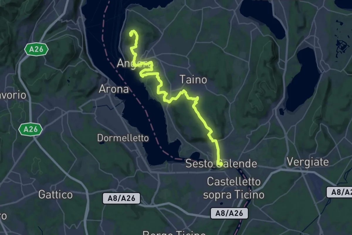
Demanding · Summit
Cammino del Lago Maggiore
30.8 km · ↑ 501 m · 8 h 22 min · 7 km away
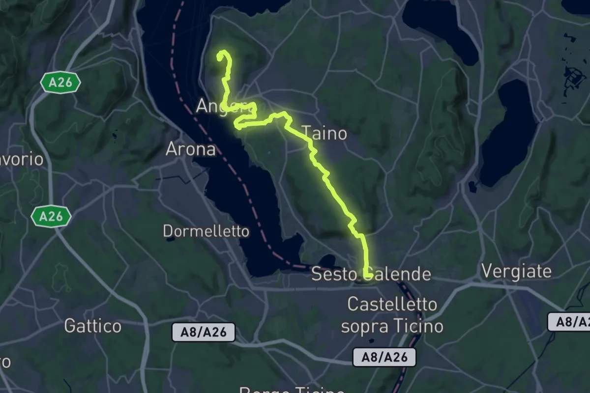
Demanding · Summit
Grand Tour del Lago Maggiore ® - Tappa 4 - Sesto Calende - lspra
27.4 km · ↑ 500 m · 7 h 34 min · 7 km away