Trails near Arona
161 hikes starting within 15 km, nearest first.
Nearest first, page 2 of 4
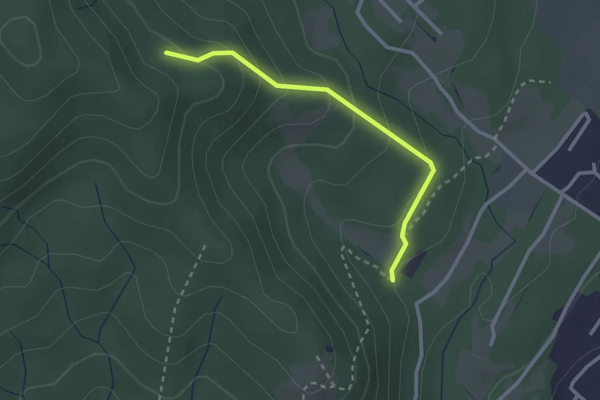
Easy · Trail
VF7 - Sasso del Pizzo - Alpe Cima
2.2 km · ↑ 158 m · 52 min · 7 km away
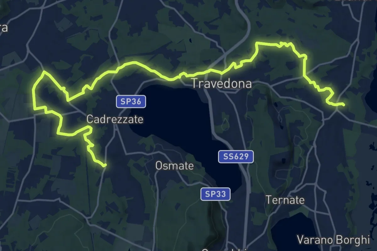
Demanding · Trail
Sentiero delle pesche
26.6 km · ↑ 379 m · 7 h 6 min · 7 km away
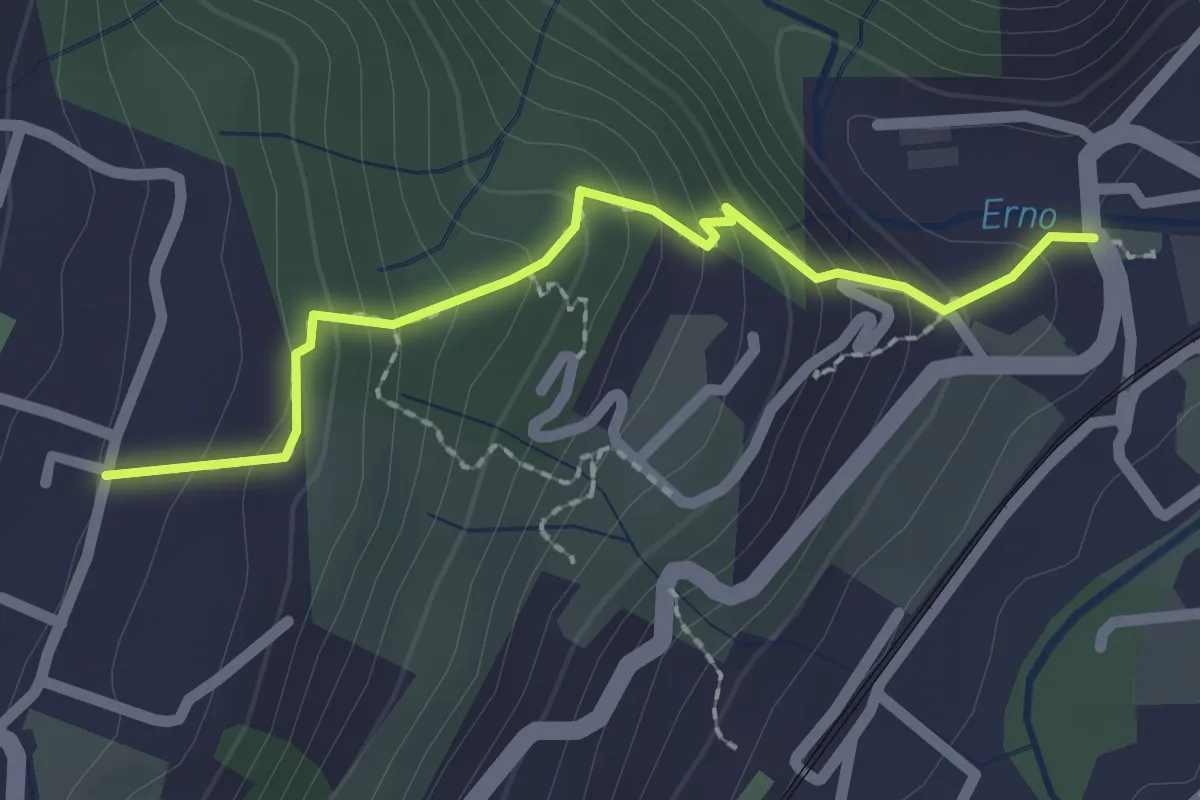
Easy · Trail
Sentiero Lesa Massino
2.1 km · ↑ 194 m · 55 min · 7 km away
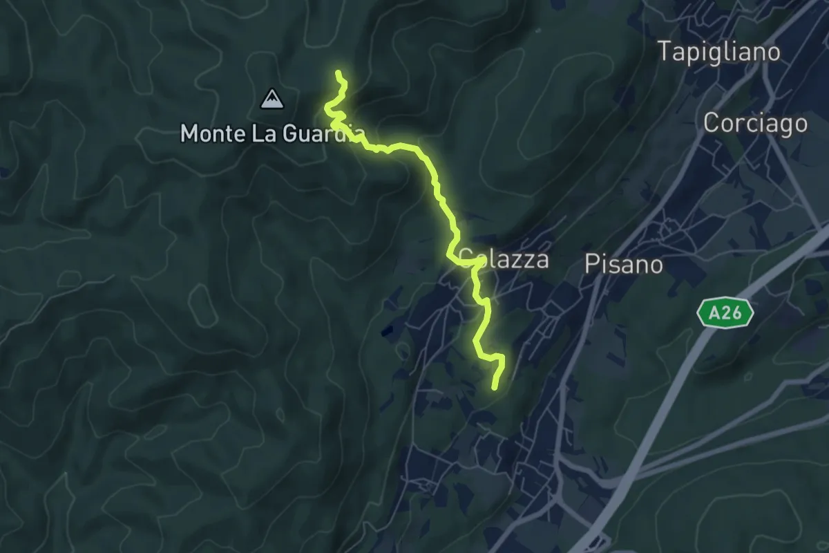
Medium · Trail
VE5 - Colazza - Alpe del Bosco
5.7 km · ↑ 319 m · 2 h 3 min · 7 km away
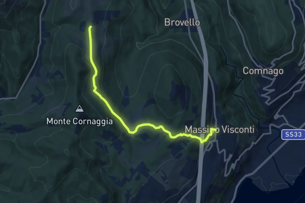
Medium · Trail
VH2 - Massino Visconti - Alpe Canà
8.8 km · ↑ 369 m · 2 h 53 min · 7 km away
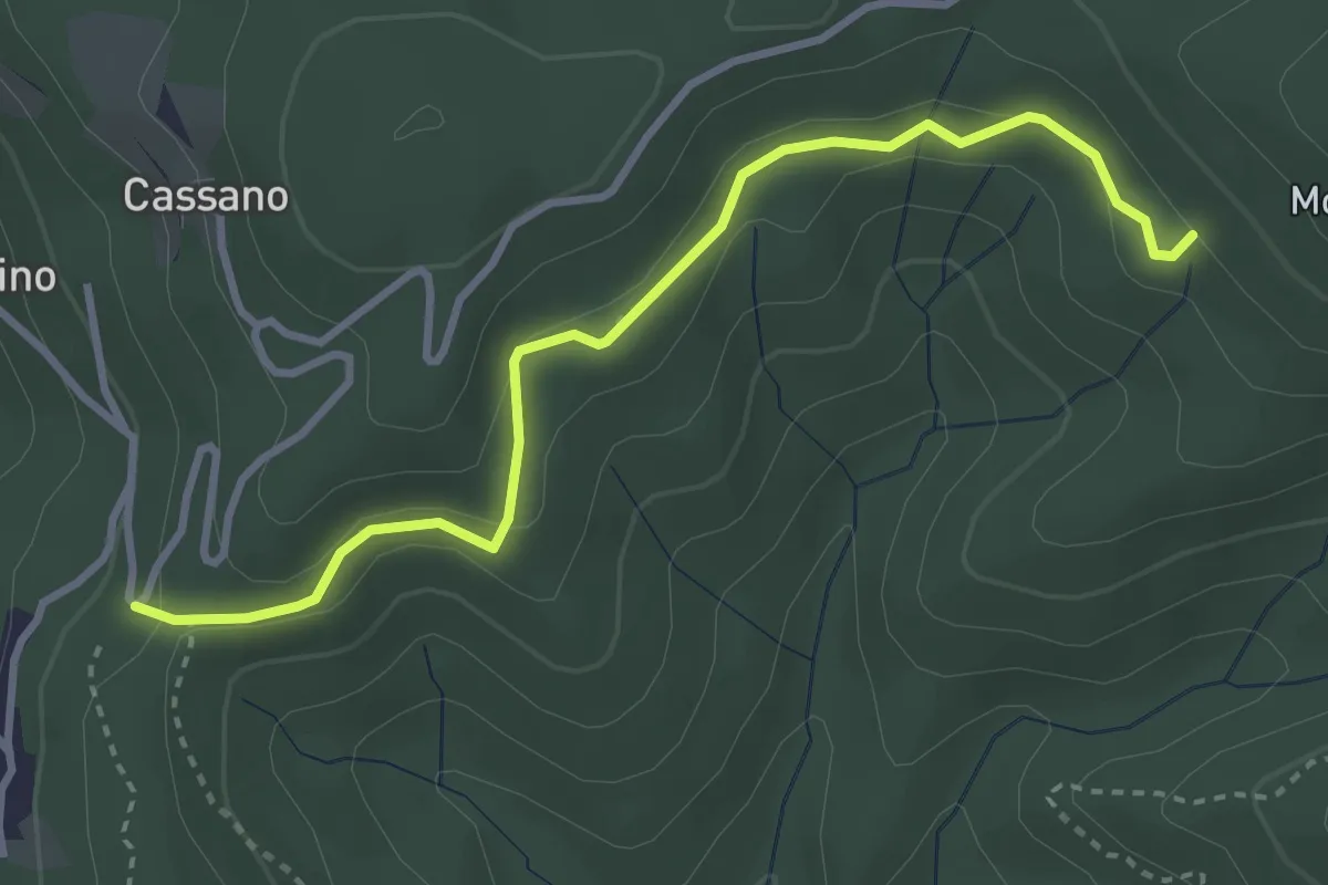
Easy · Trail
VE7 - Pecorino - Tre Fontane
3.6 km · ↑ 155 m · 1 h 11 min · 7 km away
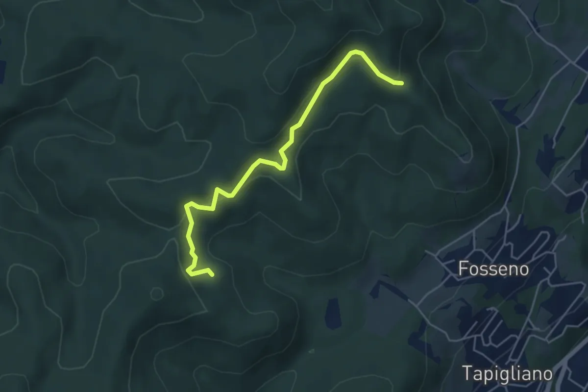
Easy · Trail
VF2 - Bivio VF3 - Bivio VF5
4.5 km · ↑ 230 m · 1 h 34 min · 7 km away
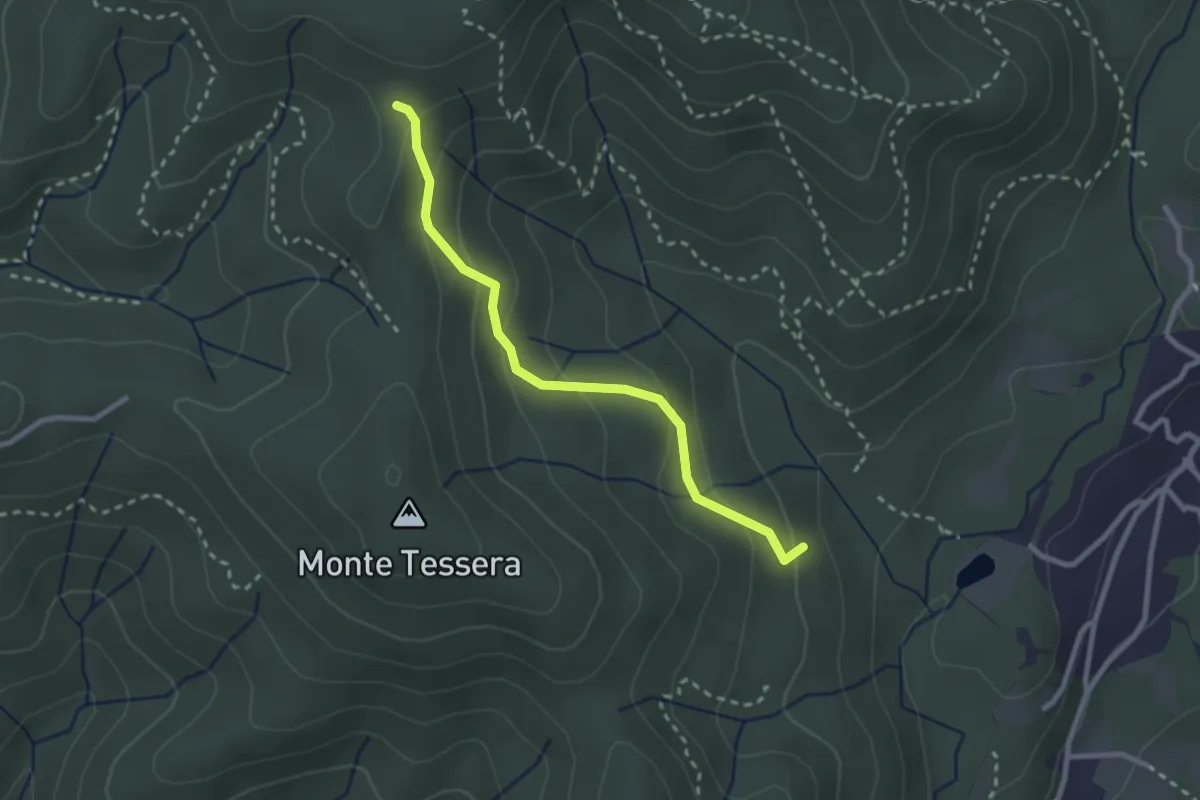
Medium · Trail
VE3 - Bivio VE2 - Viganate
2.6 km · ↑ 159 m · 57 min · 8 km away
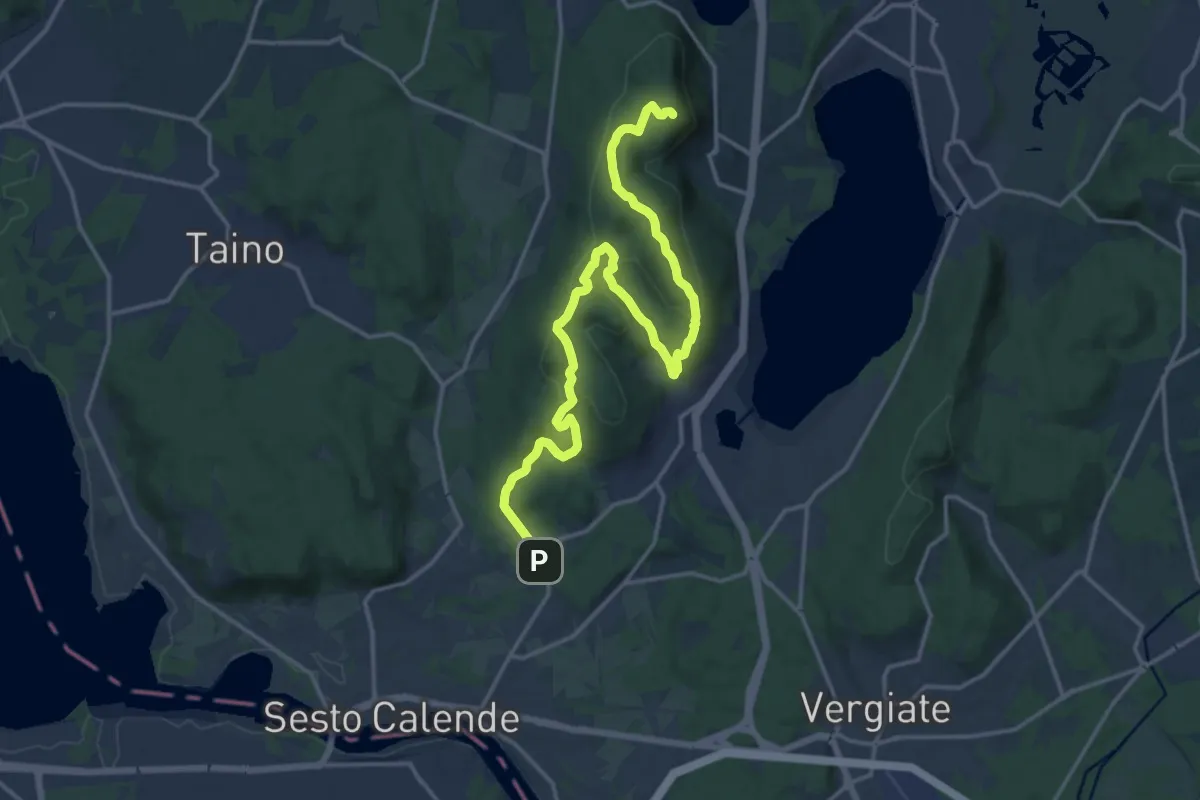
Demanding · Summit
Sentiero del Monte Pelada
18.9 km · ↑ 567 m · 5 h 41 min · 8 km away
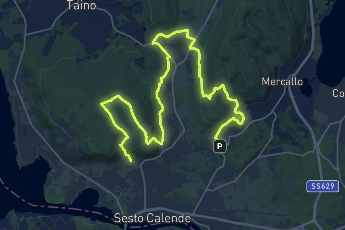
Demanding · Trail
Sentiero delle Meraviglie nascoste
22.9 km · ↑ 575 m · 6 h 40 min · 8 km away
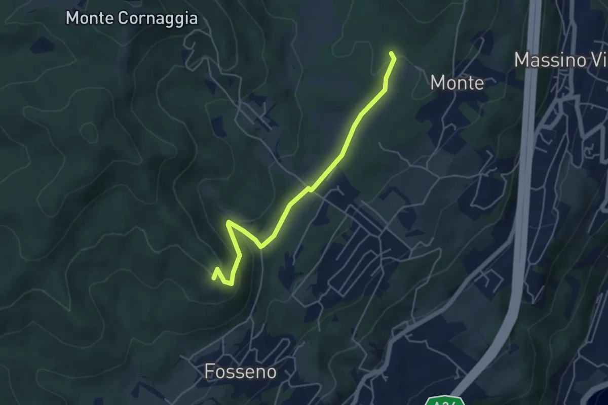
Easy · Summit
VF7a - Cascina Pianzaghi - Sasso del Pizzo
4.5 km · ↑ 154 m · 1 h 23 min · 8 km away
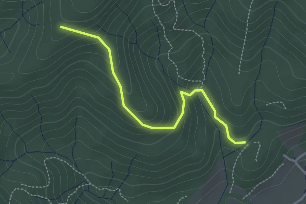
Easy · Trail
VF4 - Fosseno - Alpe Boccioli
2.6 km · ↑ 140 m · 55 min · 8 km away
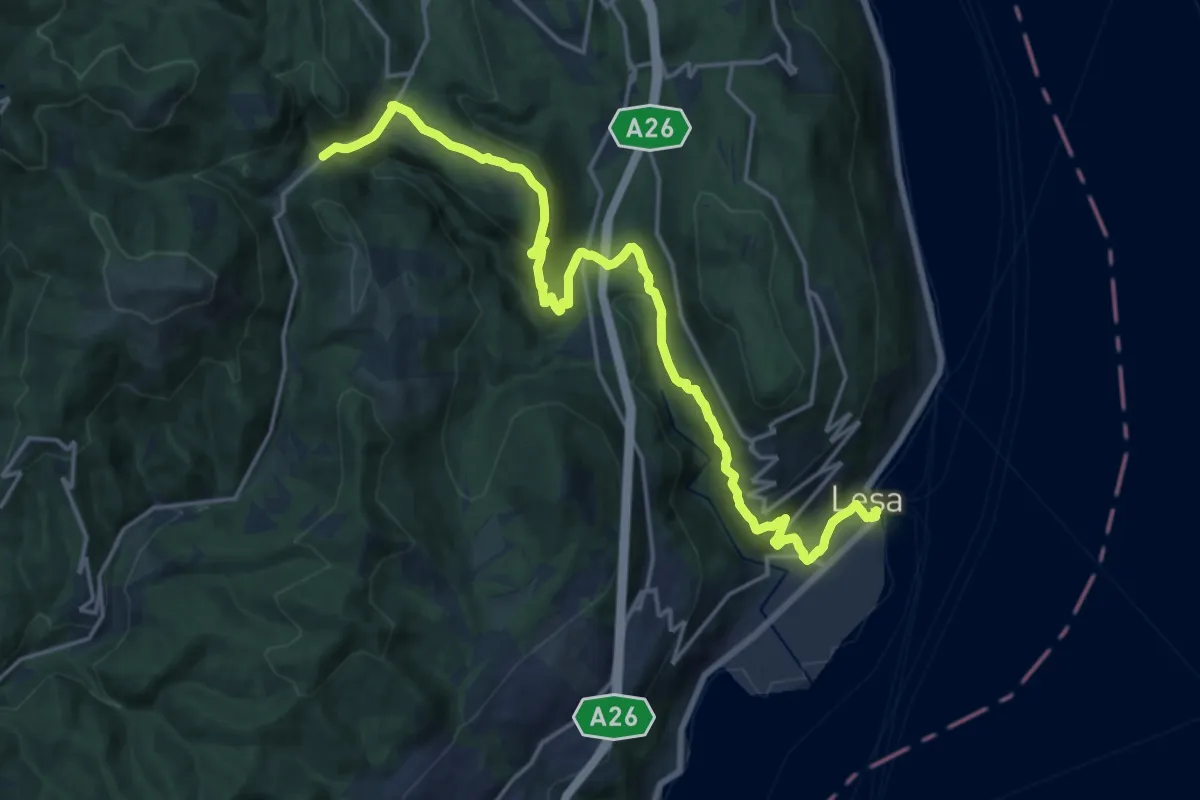
Demanding · Trail
VL7 - Lesa - Gignese
20.7 km · ↑ 724 m · 6 h 27 min · 8 km away
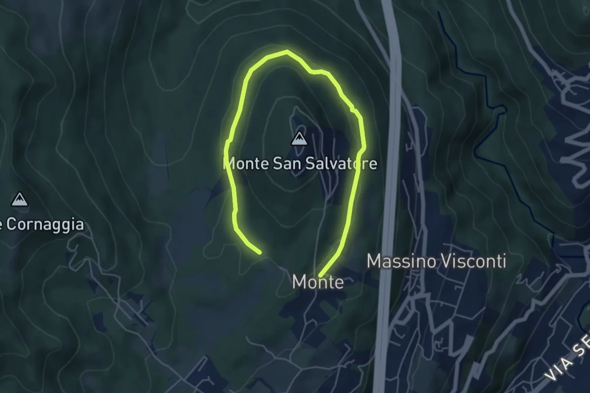
Easy · Trail
VH6 - Anello basso di San Salvatore
6.5 km · ↑ 140 m · 1 h 51 min · 8 km away
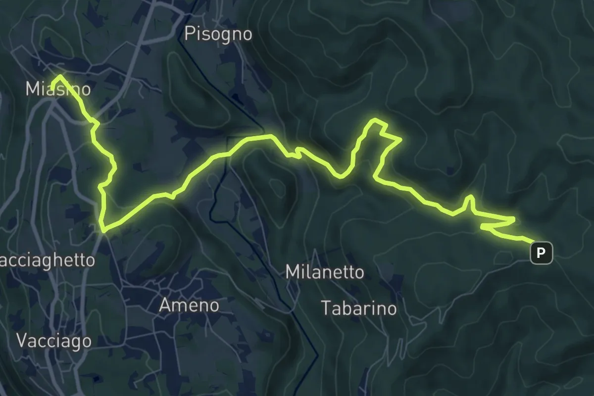
Medium · Trail
VU1 - Miasino - Cappella del Vago
12.9 km · ↑ 544 m · 4 h 13 min · 8 km away
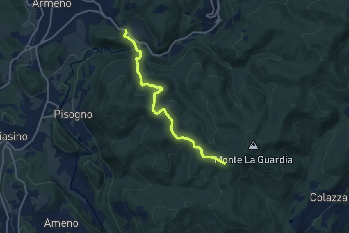
Medium · Trail
VS1 - Americano - Bivio V00
7.7 km · ↑ 437 m · 2 h 46 min · 8 km away
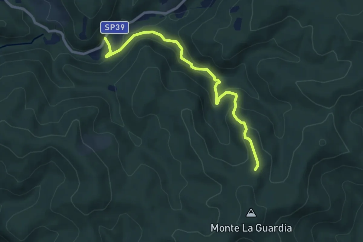
Easy · Trail
VS4 - Masseria Bernaggia - Alpe del Bosco
5.9 km · ↑ 272 m · 1 h 59 min · 8 km away
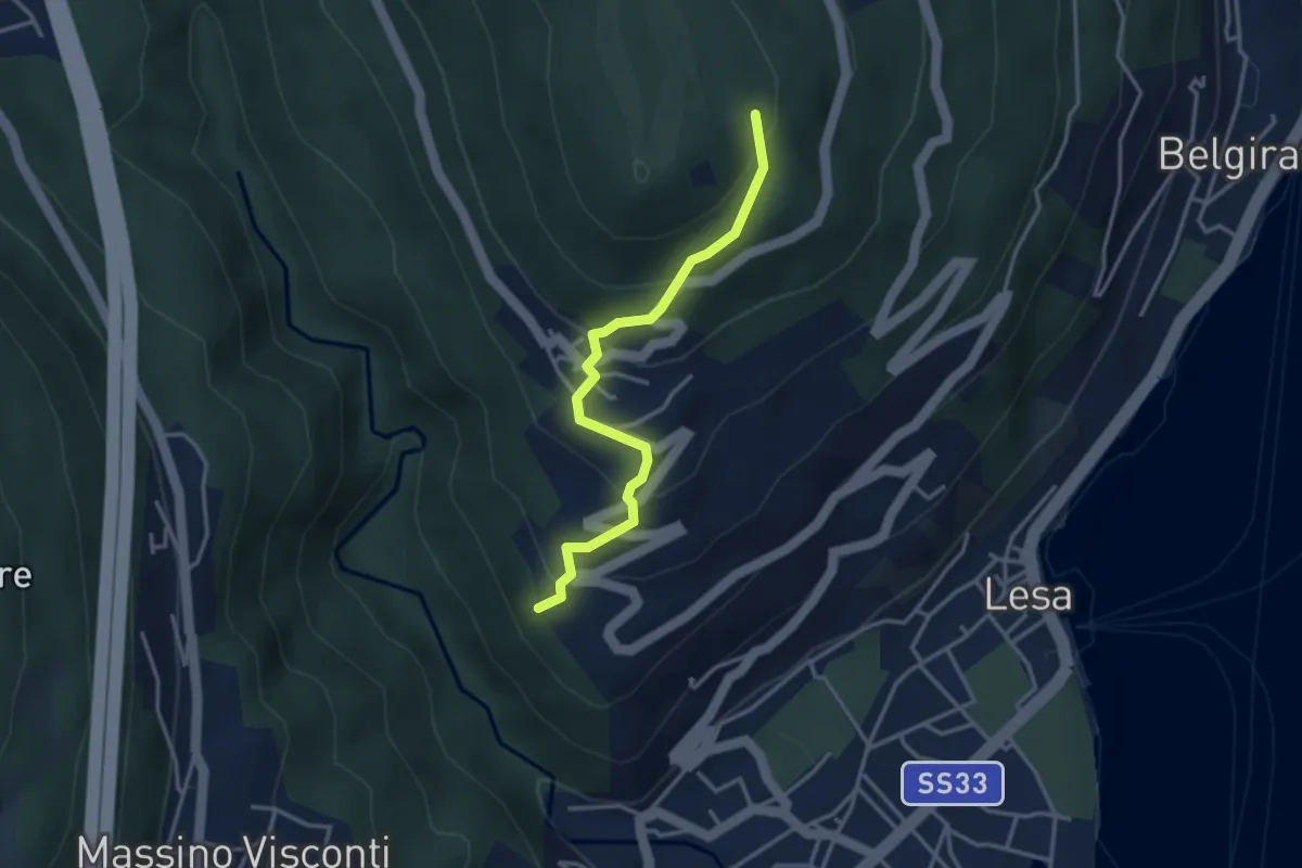
Easy · Trail
VL4 - Comnago - Calogna
3.4 km · ↑ 238 m · 1 h 19 min · 8 km away
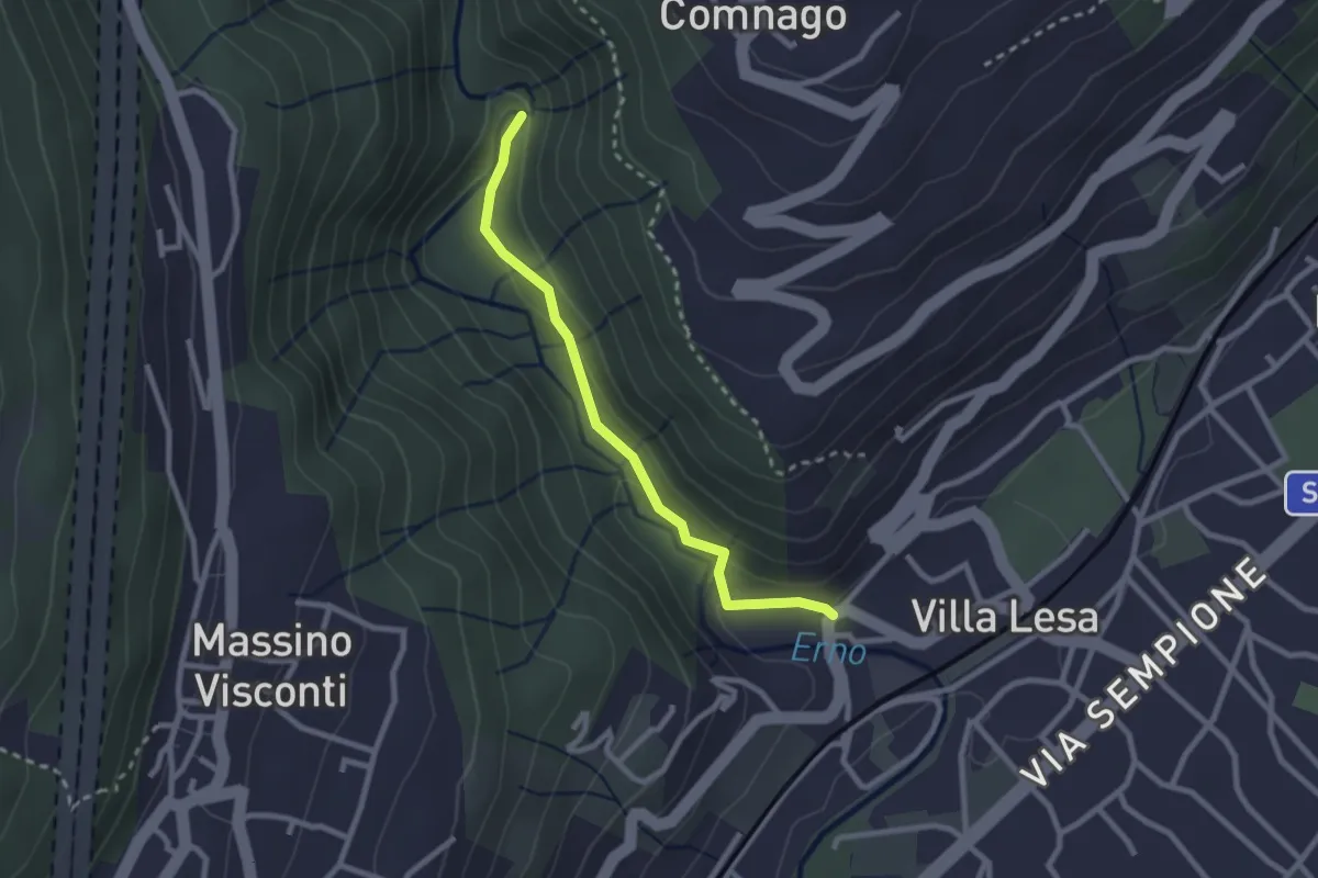
Easy · Trail
Sentiero Valle dell'Erno
2.4 km · ↑ 86 m · 45 min · 8 km away
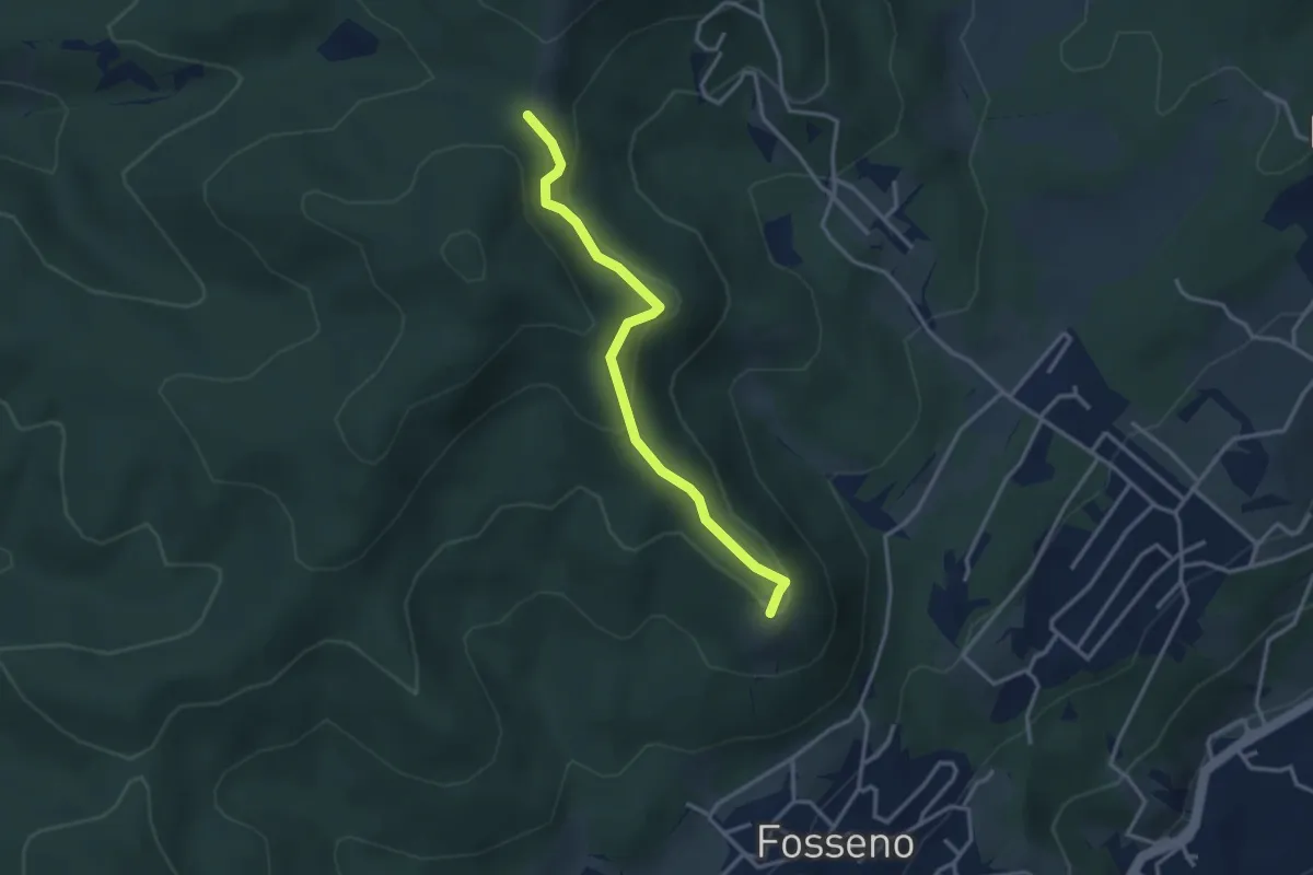
Easy · Summit
VF5 - Fosseno - Il Giogo
3.2 km · ↑ 133 m · 1 h 2 min · 8 km away
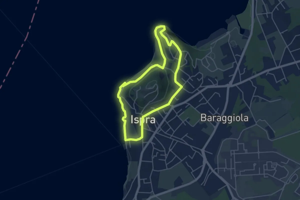
Easy · Summit
Anello delle fornaci
4.1 km · ↑ 137 m · 1 h 19 min · 8 km away
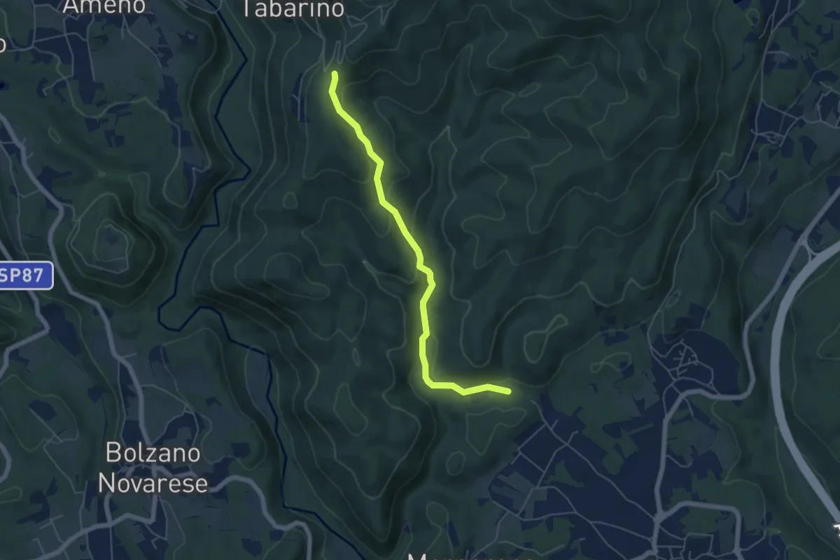
Easy · Trail
VE6 - Invorio - Pecorino
5.4 km · ↑ 193 m · 1 h 41 min · 8 km away
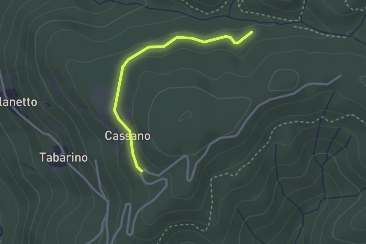
Easy · Trail
VU7 - Cassano - Cappella del Vago
2.3 km · ↑ 46 m · 39 min · 8 km away
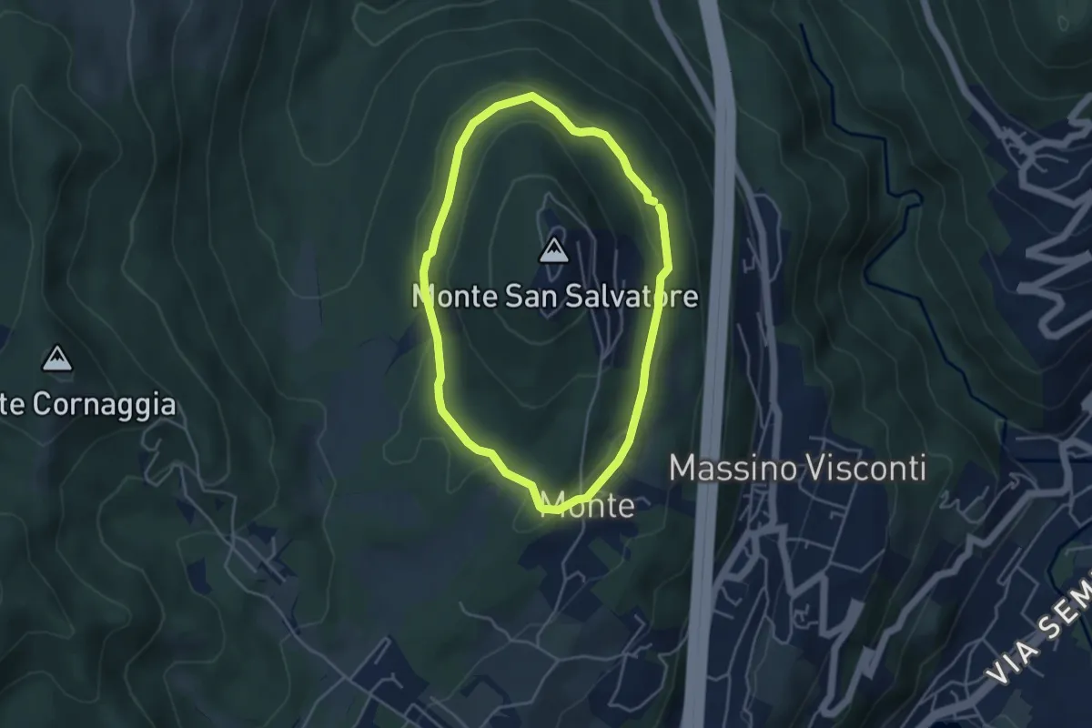
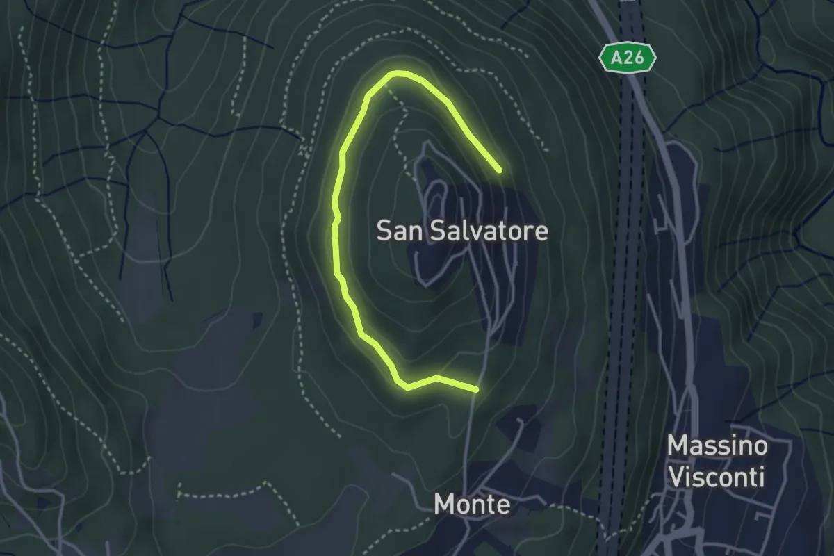
Easy · Trail
Anello basso di San Salvatore
3.7 km · ↑ 85 m · 1 h 7 min · 8 km away
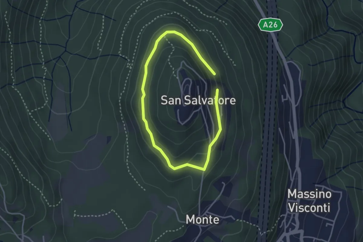
Easy · Trail
VH5 - Anello di mezzo di San Salvatore
3.6 km · ↑ 66 m · 59 min · 8 km away
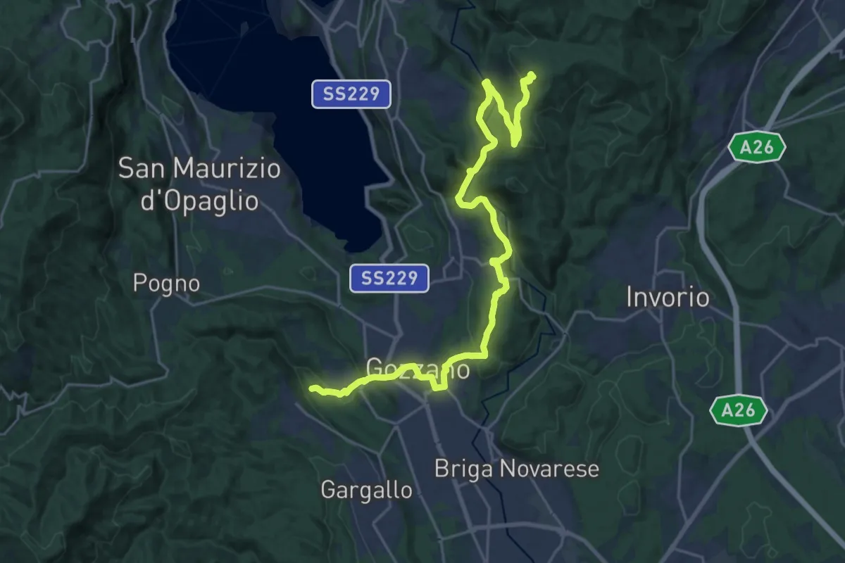
Easy · Trail
Anello di mezzo di San Salvatore
2.4 km · ↑ 58 m · 43 min · 8 km away
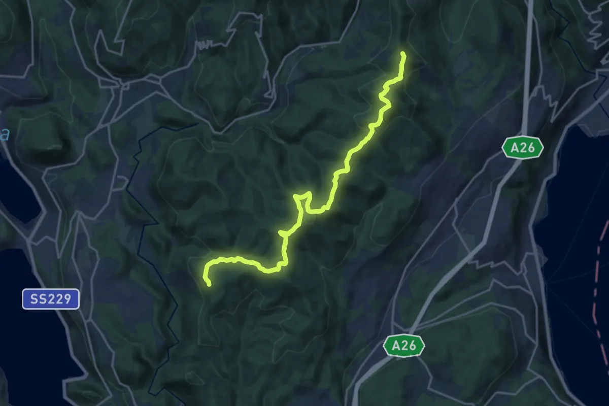
Demanding · Trail
Sentiero Novara tappa 16
24.5 km · ↑ 715 m · 7 h 20 min · 8 km away
Medium · Summit
Sentiero Novara tappa 15
17.1 km · ↑ 641 m · 5 h 26 min · 8 km away
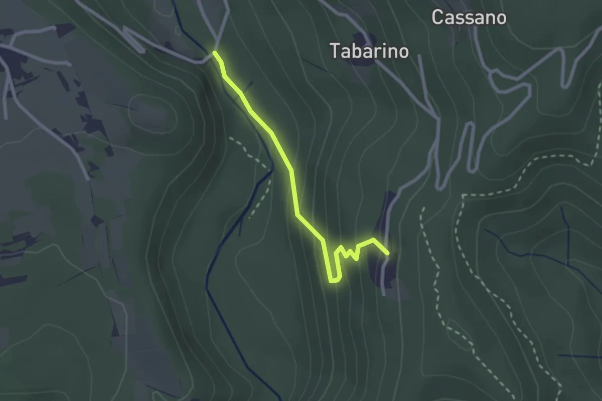
Easy · Trail
VU3 - Ameno - Pecorino
2.2 km · ↑ 158 m · 52 min · 8 km away
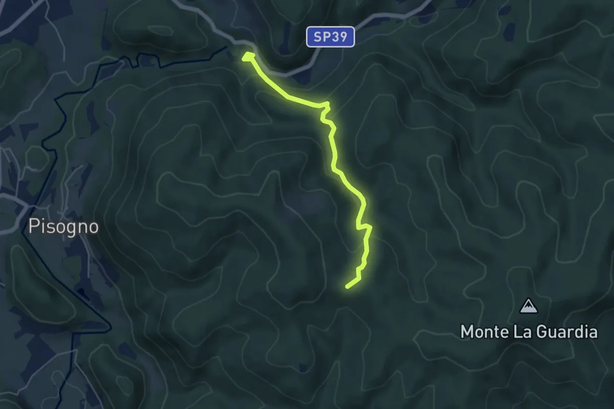
Easy · Trail
VS2 - Americano - Alpe Cascinone
4.6 km · ↑ 235 m · 1 h 35 min · 9 km away
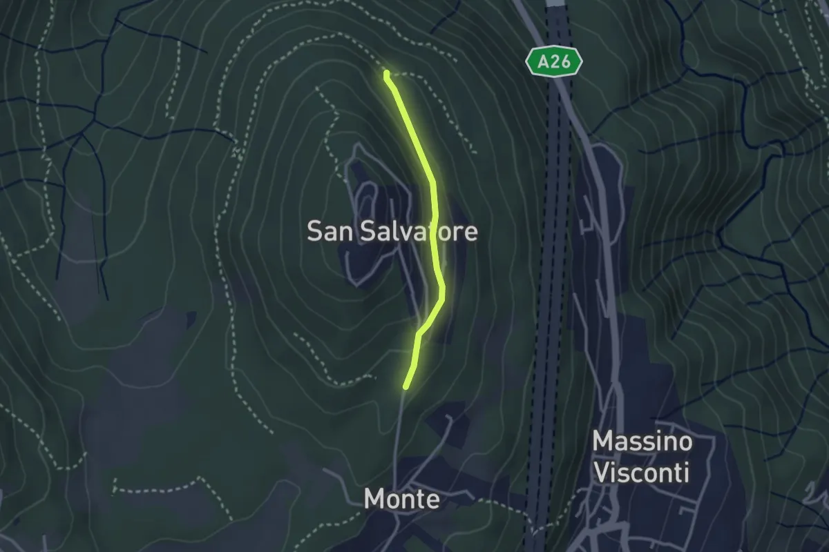
Easy · Trail
VH5a - Bivio VH6 - Bivio VH5
2.1 km · ↑ 83 m · 41 min · 9 km away
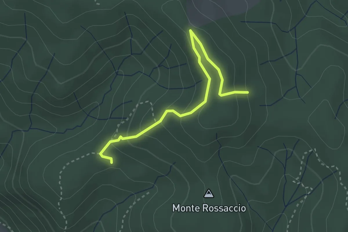
Easy · Trail
VU1b - Loc. Scullera - Alpe Cascinone
2.9 km · ↑ 126 m · 58 min · 9 km away
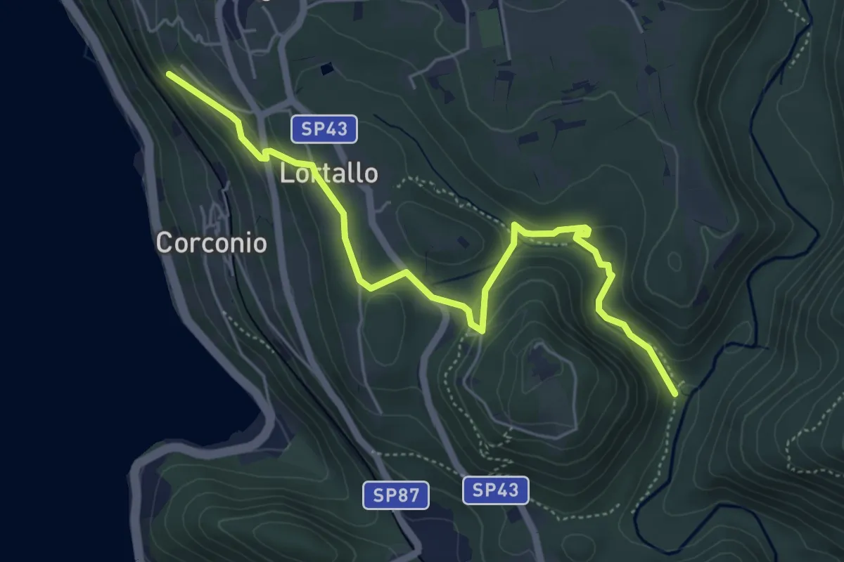
Easy · Trail
VU2 - Corconio - Località La Fucina
5.6 km · ↑ 189 m · 1 h 44 min · 9 km away
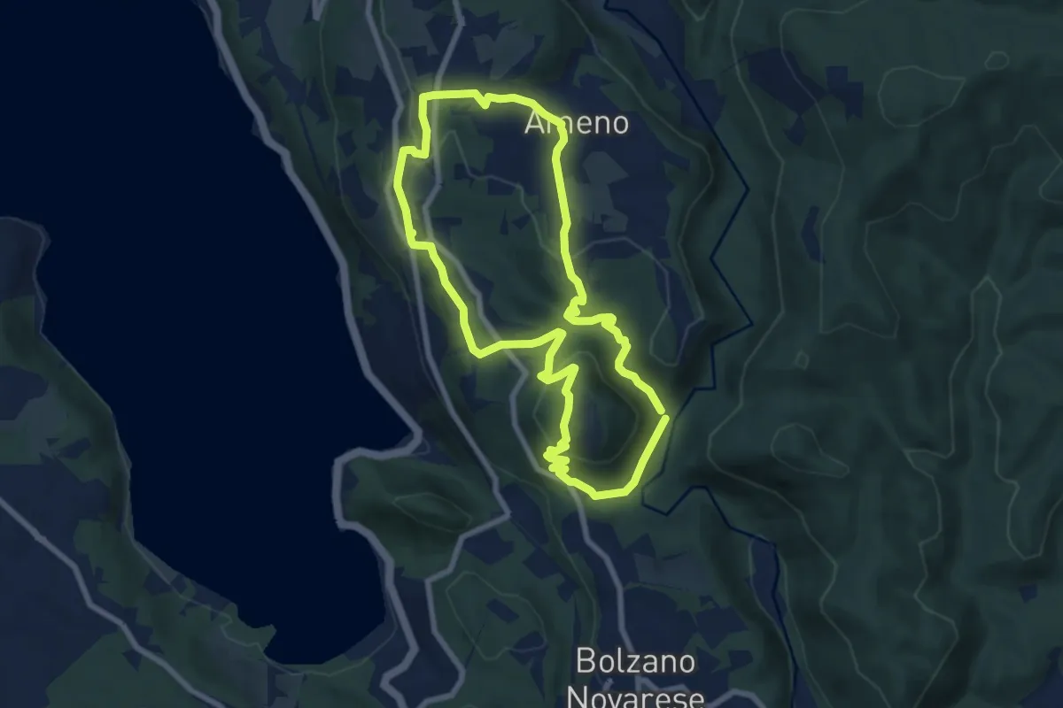
Easy · Trail
Anello Celeste
7.1 km · ↑ 230 m · 2 h 17 min · 9 km away
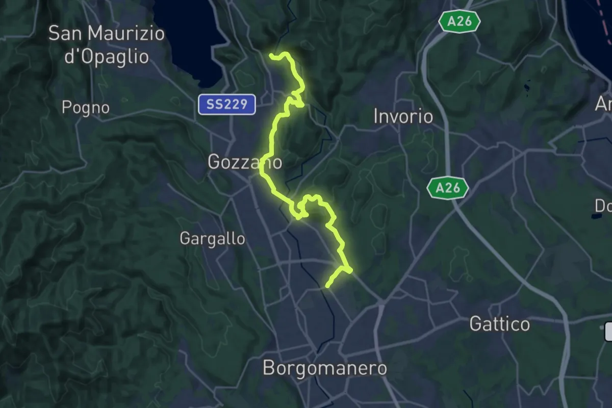
Demanding · Trail
Borgomanero, località San Marco – Bolzano Novarese, presso Torrente Agogna, bivio NOAS13-NOAVU3
22.3 km · ↑ 500 m · 6 h 21 min · 9 km away
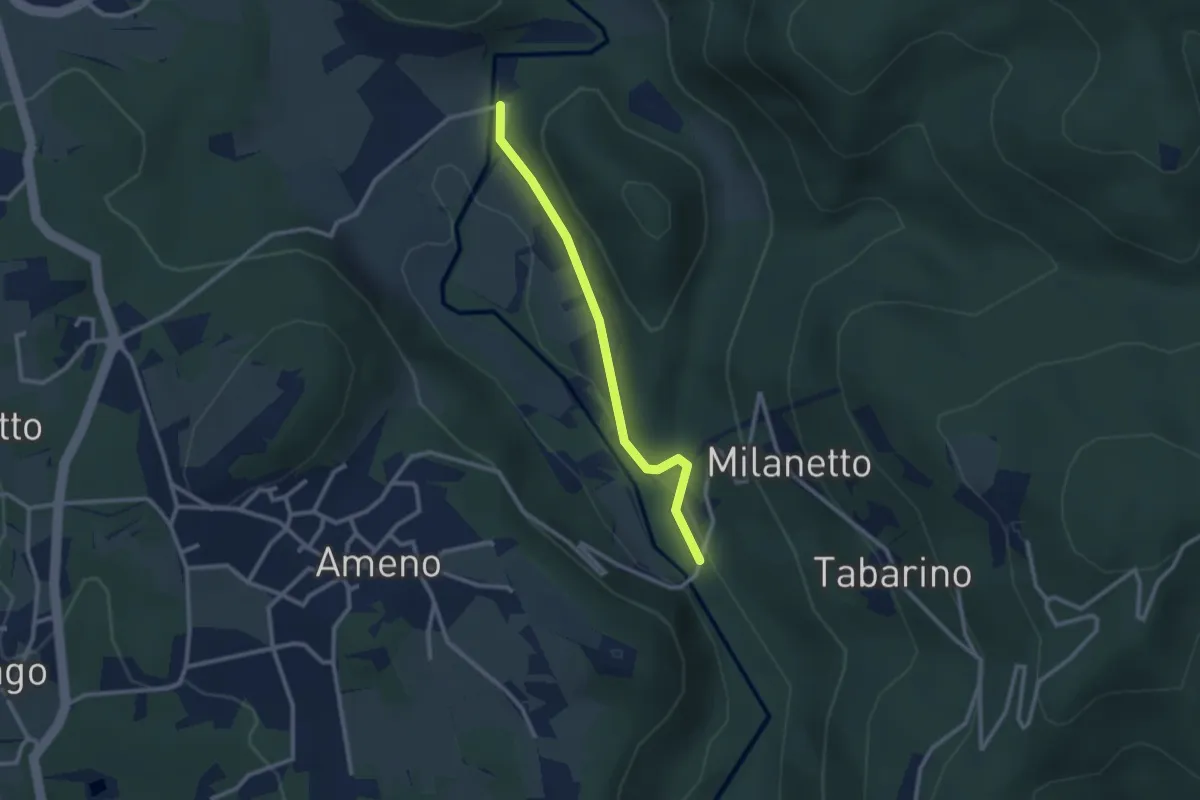
Easy · Trail
VU5c - Ameno - Ponte in Pietra
2.5 km · ↑ 61 m · 43 min · 9 km away
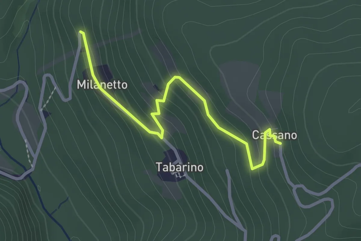
Easy · Trail
VU7a - Bivio VU5 - Cassano
2.5 km · ↑ 137 m · 54 min · 9 km away
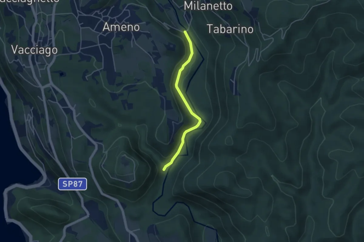
Easy · Trail
VU2b - La Fucina - Ameno
3.6 km · ↑ 104 m · 1 h 4 min · 9 km away
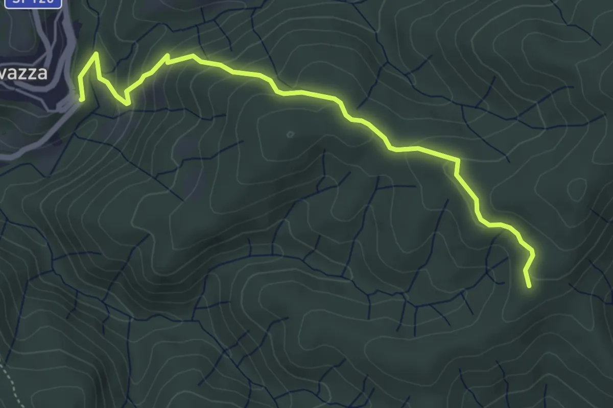
Easy · Trail
VS5 - Sovazza - Alpe Boccioli
5.2 km · ↑ 295 m · 1 h 52 min · 9 km away
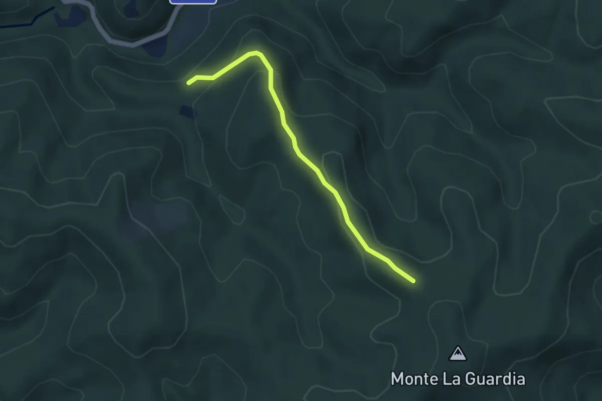
Easy · Trail
VS3 - Alpe Marzoli - Bivio V00
3.6 km · ↑ 161 m · 1 h 12 min · 9 km away
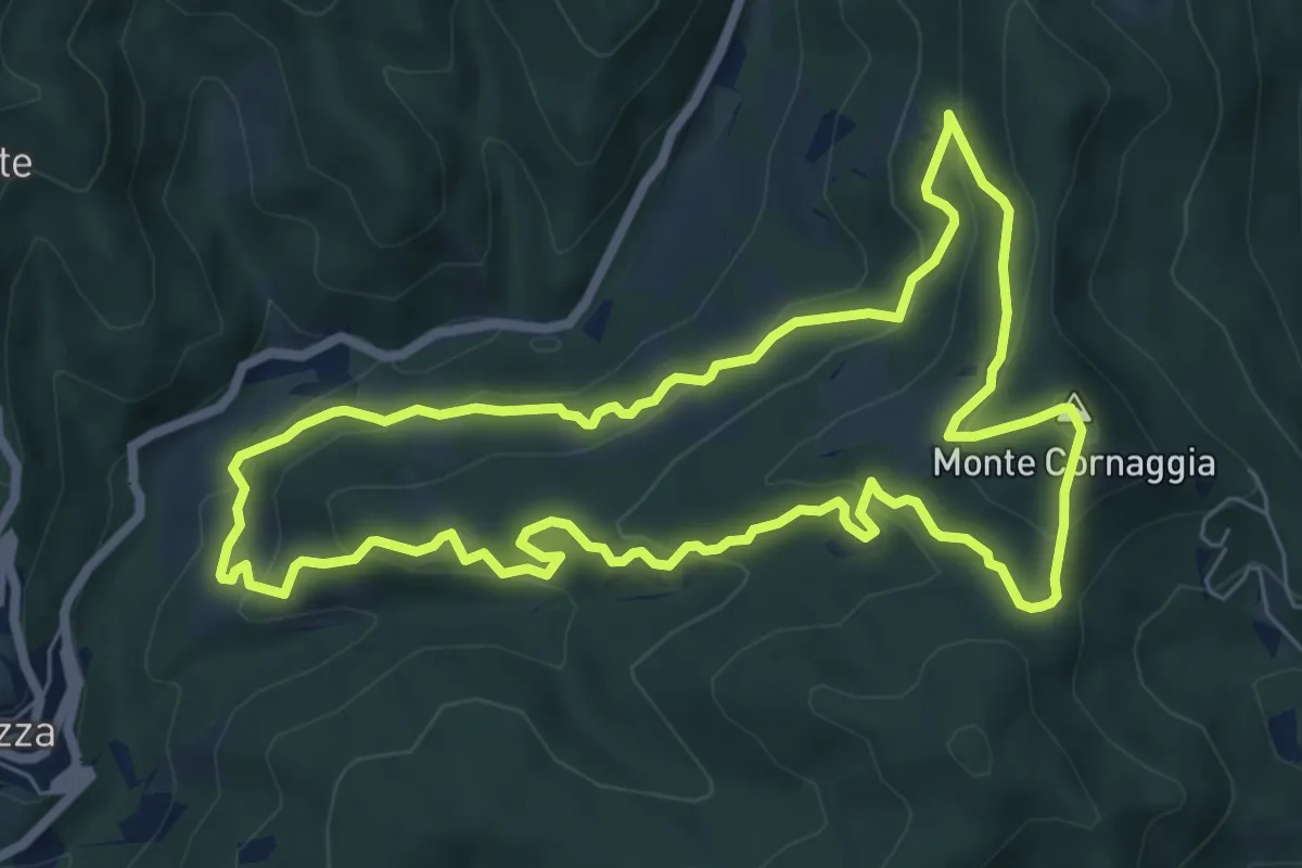
Medium · Summit
Sentiero degli Alpeggi
7.2 km · ↑ 373 m · 2 h 36 min · 10 km away
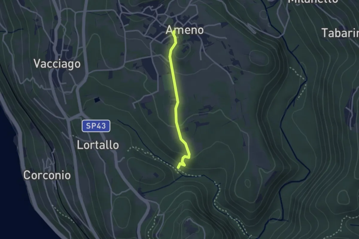
Easy · Trail
VU4 - Ameno - Monte Mesma
2.3 km · ↑ 72 m · 41 min · 10 km away
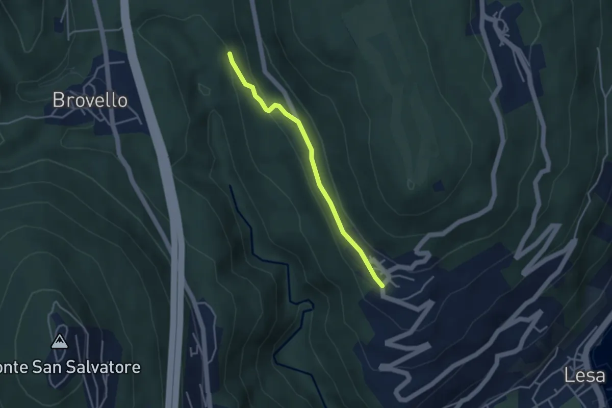
Easy · Trail
VL7c - Carpugnino - Comnago
3.1 km · ↑ 91 m · 55 min · 10 km away
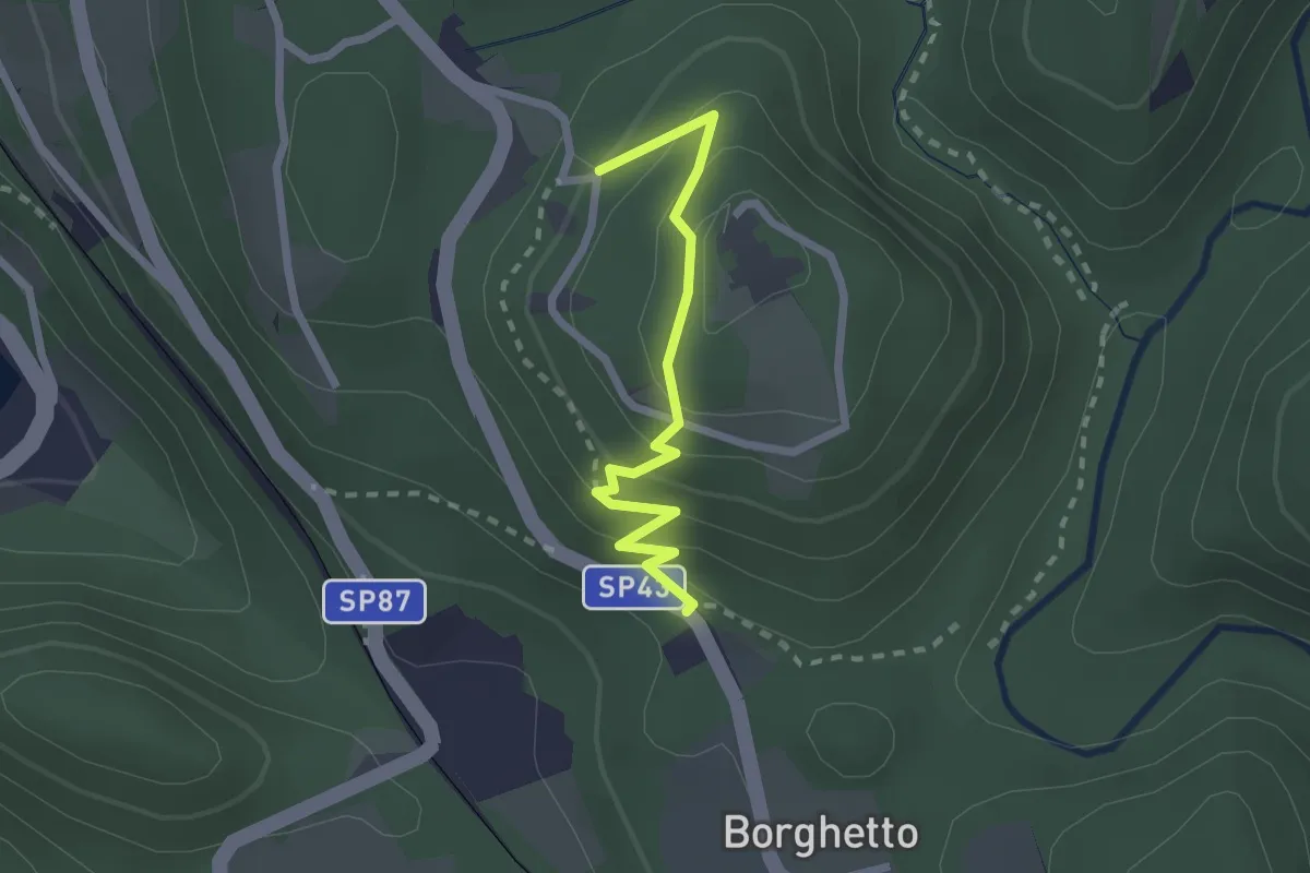
Easy · Trail
VU2a - Borghetto - Convento di Mesma
2.2 km · ↑ 183 m · 55 min · 10 km away
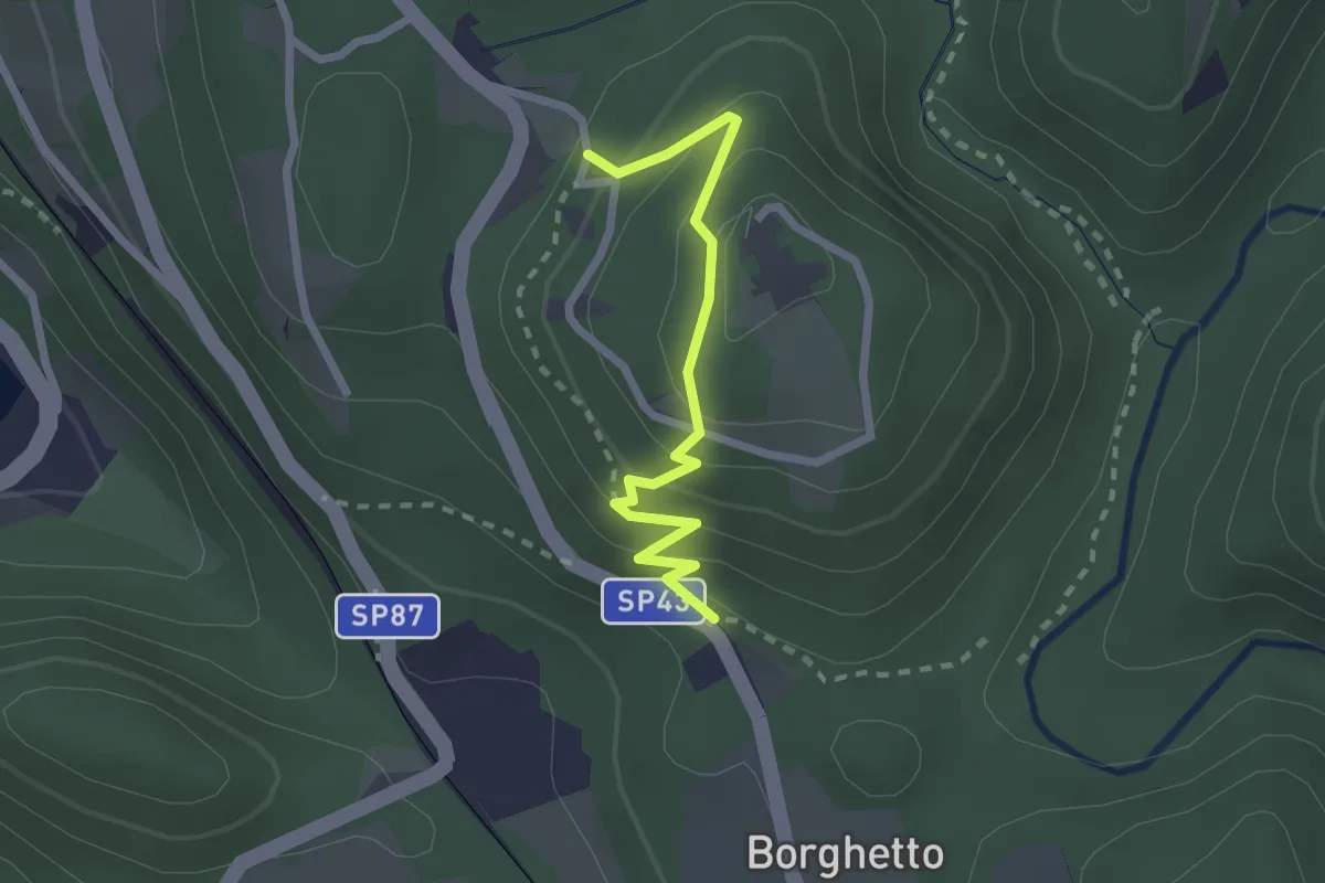
Easy · Trail
Vie Crucis Monte Mesma
2.3 km · ↑ 197 m · 58 min · 10 km away
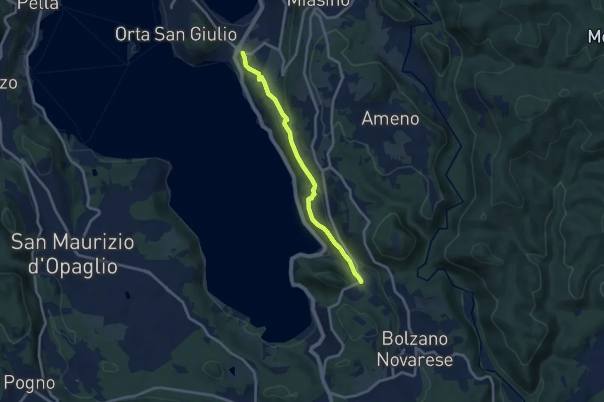
Easy · Trail
Orta San Giulio località Ortello, bivio NOATU1-NOATU2 – Orta San Giulio località Corconio bivio NOAVU2-NOATU2-NOATU2A
7.0 km · ↑ 181 m · 2 h 3 min · 10 km away
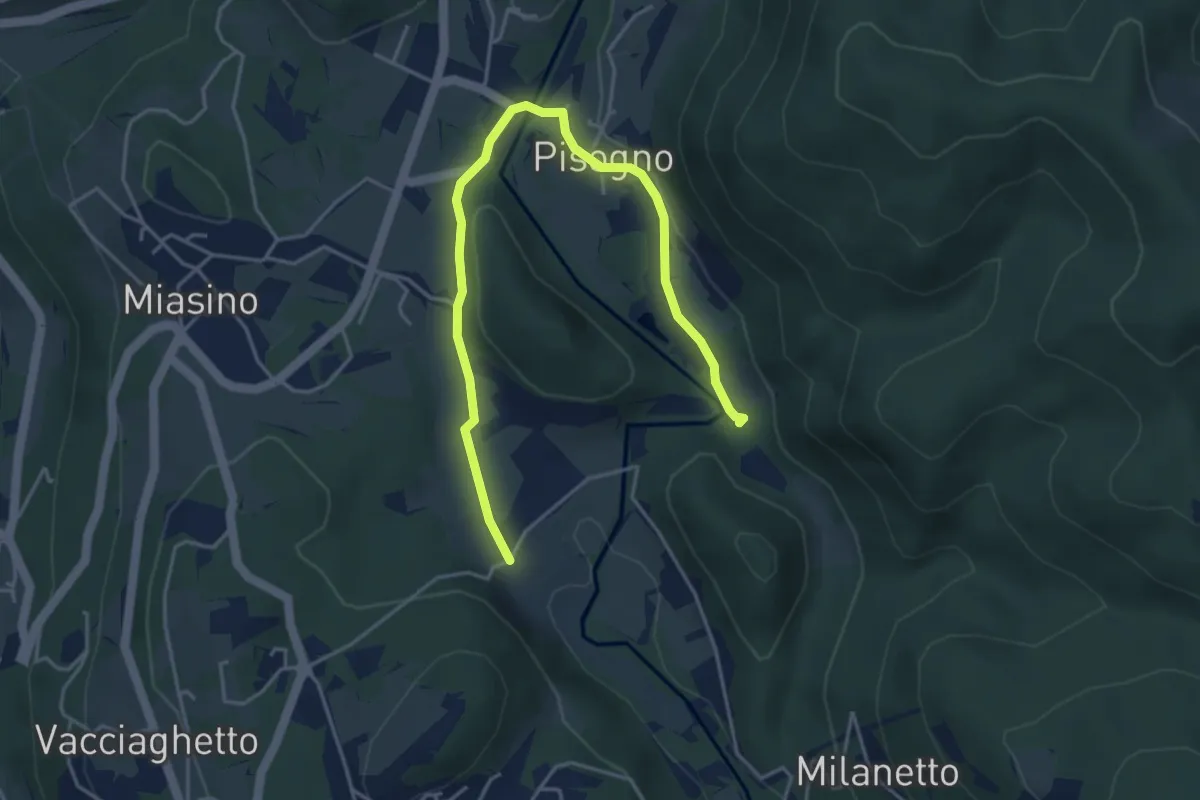
Easy · Trail
VU1a - Ameno - Ameno
5.0 km · ↑ 106 m · 1 h 24 min · 10 km away
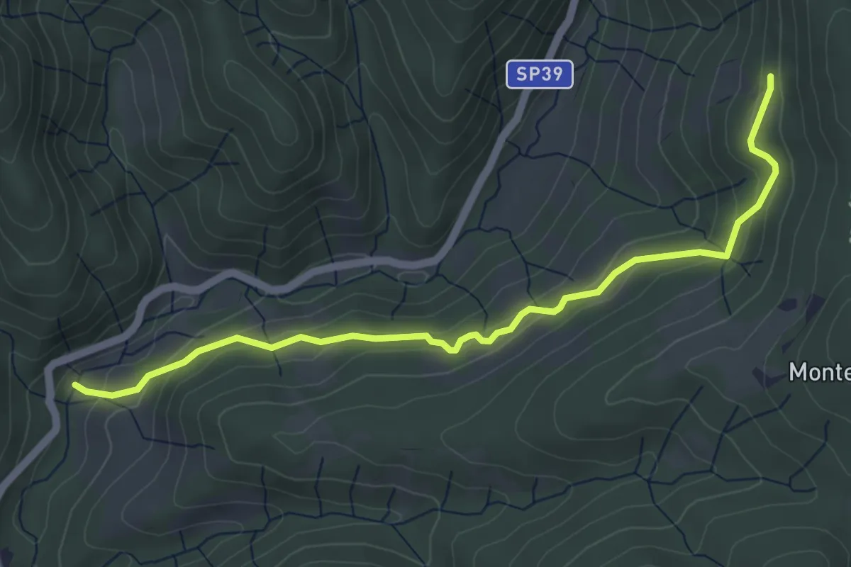
Easy · Trail
Sovazza ponte Agogna – Alpe Maioli
5.0 km · ↑ 260 m · 1 h 45 min · 10 km away