Trails near Aulla
146 hikes starting within 15 km, nearest first.
Nearest first, page 1 of 4
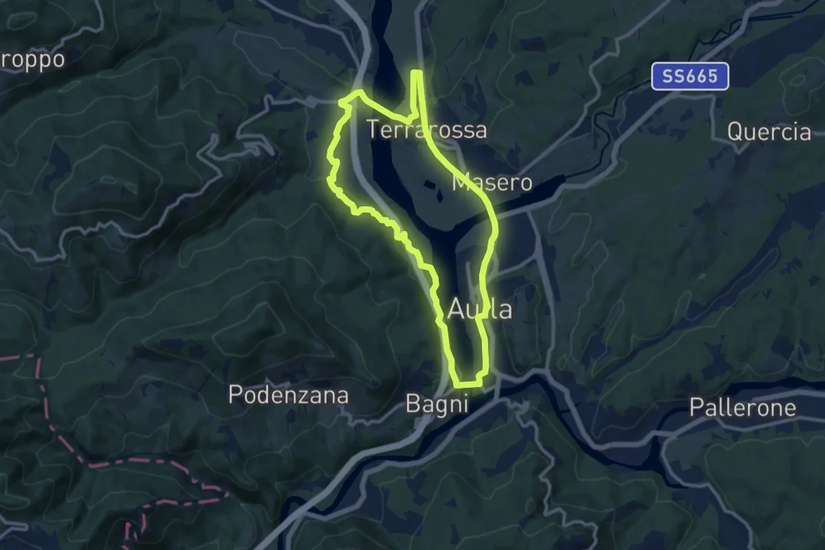
Medium · Trail
Greenway Fiume Magra
9.7 km · ↑ 134 m · 2 h 43 min · 1 km away
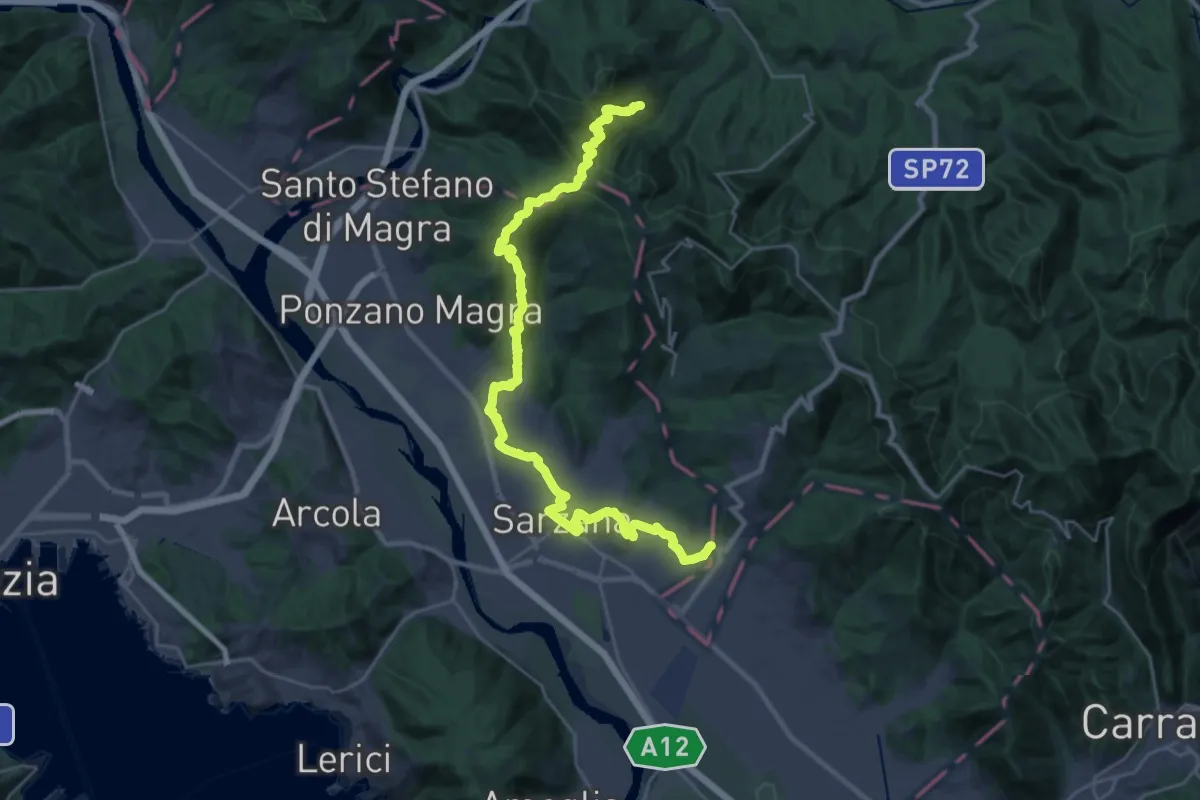
Demanding · Pilgrim path
Via Francigena - 05 Liguria
16.9 km · ↑ 476 m · 5 h 22 min · 4 km away
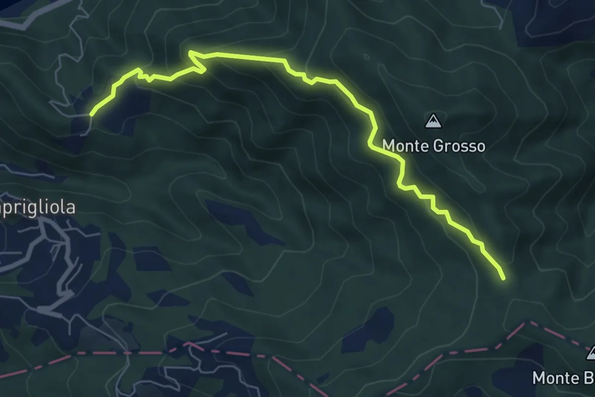
Medium · Trail
S3 Sentiero della Tira: Chiamici - Quattro strade
6.8 km · ↑ 538 m · 2 h 46 min · 5 km away
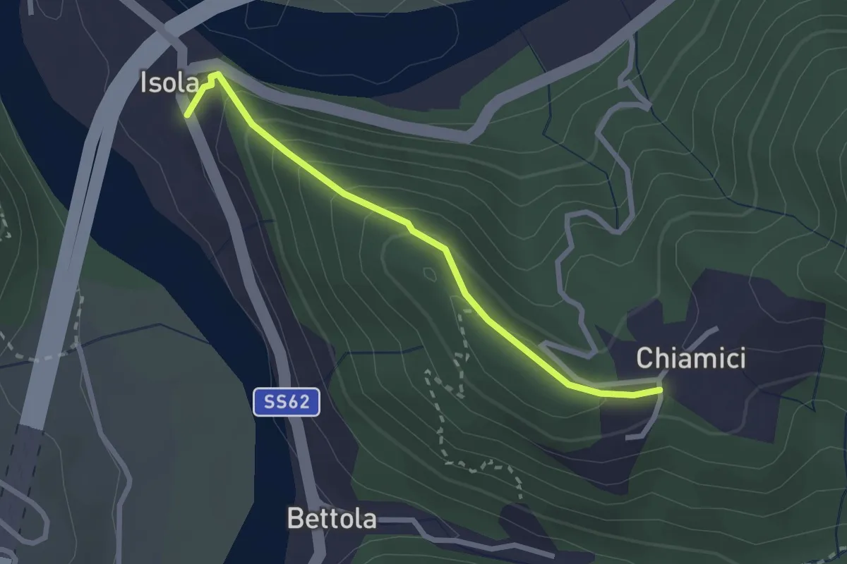
Easy · Trail
S6 Chiamici - Isola
2.4 km · ↑ 172 m · 57 min · 5 km away
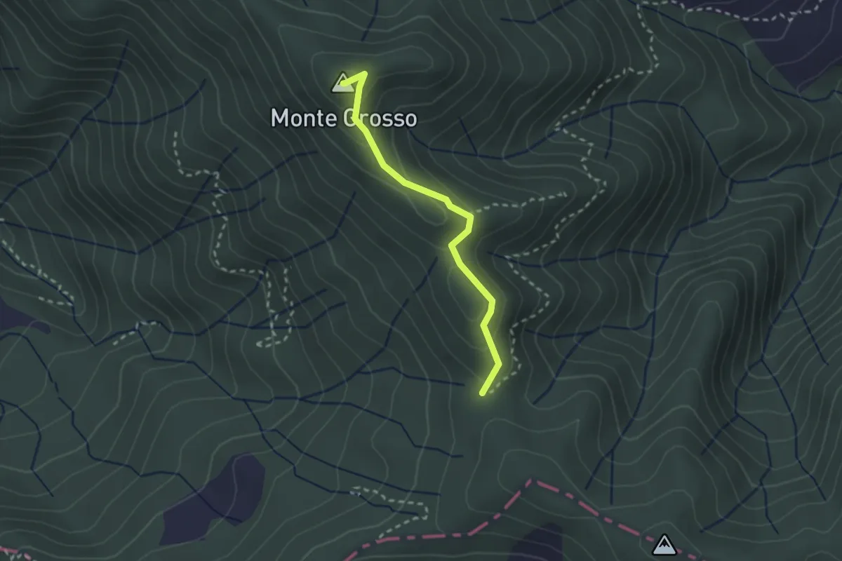
Easy · Summit
S5: Quattro Strade - Monte Grosso - La Tira
2.3 km · ↑ 113 m · 48 min · 5 km away
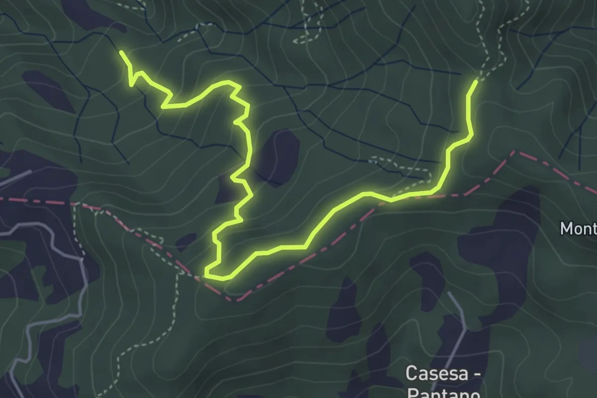
Easy · Trail
S2 Sentiero Valle dei Mulini- Quattro Strade
5.6 km · ↑ 305 m · 1 h 59 min · 5 km away
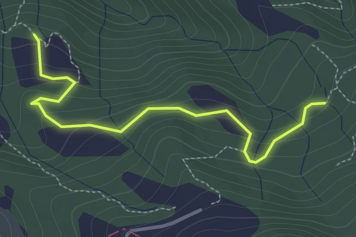
Easy · Trail
La Bastia – Castagni Grossi (bivio 231)
2.8 km · ↑ 159 m · 1 h · 5 km away
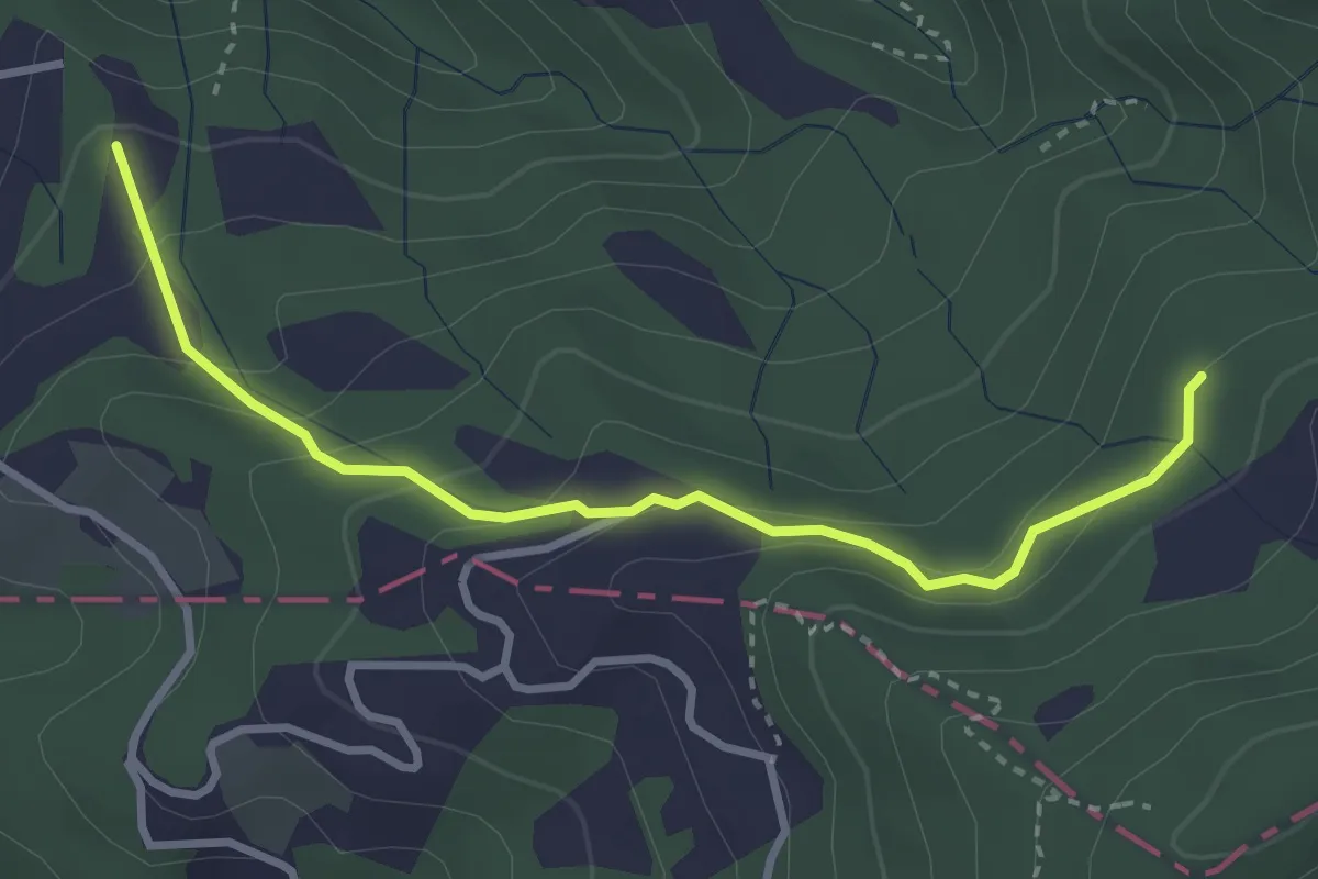
Easy · Trail
Caprigliola – Ar D 'ndre
3.4 km · ↑ 191 m · 1 h 13 min · 5 km away
Easy · Trail
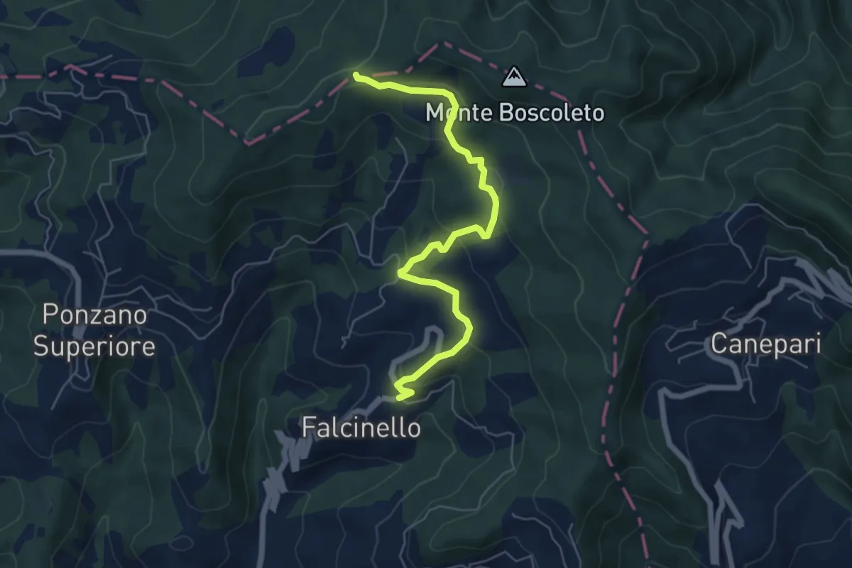
Falcinello – Via Francigena
6.0 km · ↑ 258 m · 1 h 59 min · 5 km away
Easy · Trail
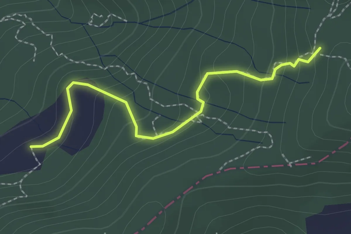
S2/bis Sentiero La bronzina - Quattro strade
2.2 km · ↑ 131 m · 49 min · 5 km away
Demanding · Trail
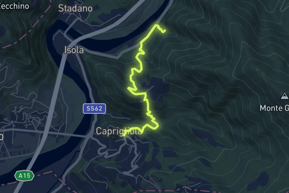
S1 Caprigliola - Chiamici - Santuario Madonna del Ponte
6.1 km · ↑ 492 m · 2 h 30 min · 5 km away
Easy · Trail
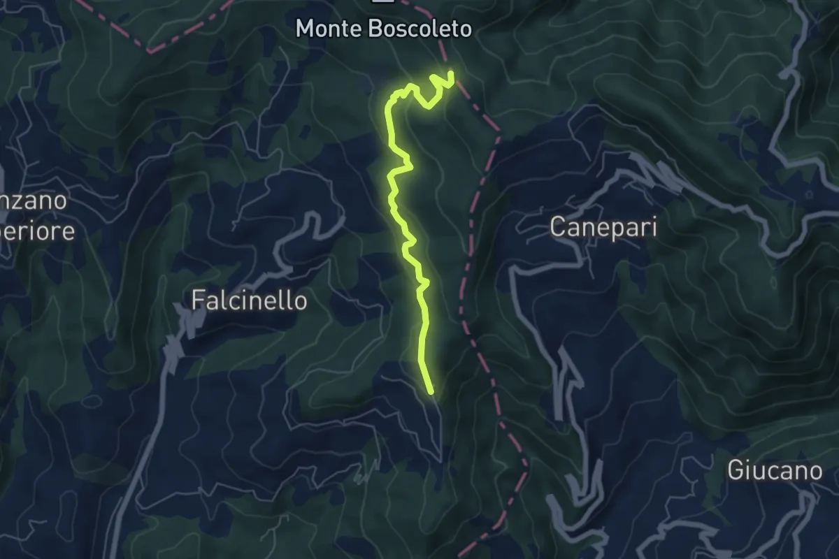
Percorso 325 – Percorso 290
5.3 km · ↑ 240 m · 1 h 47 min · 6 km away
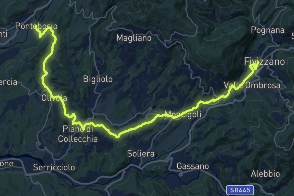
Medium · Trail
Via del Volto Santo 2b
15.3 km · ↑ 561 m · 4 h 57 min · 6 km away
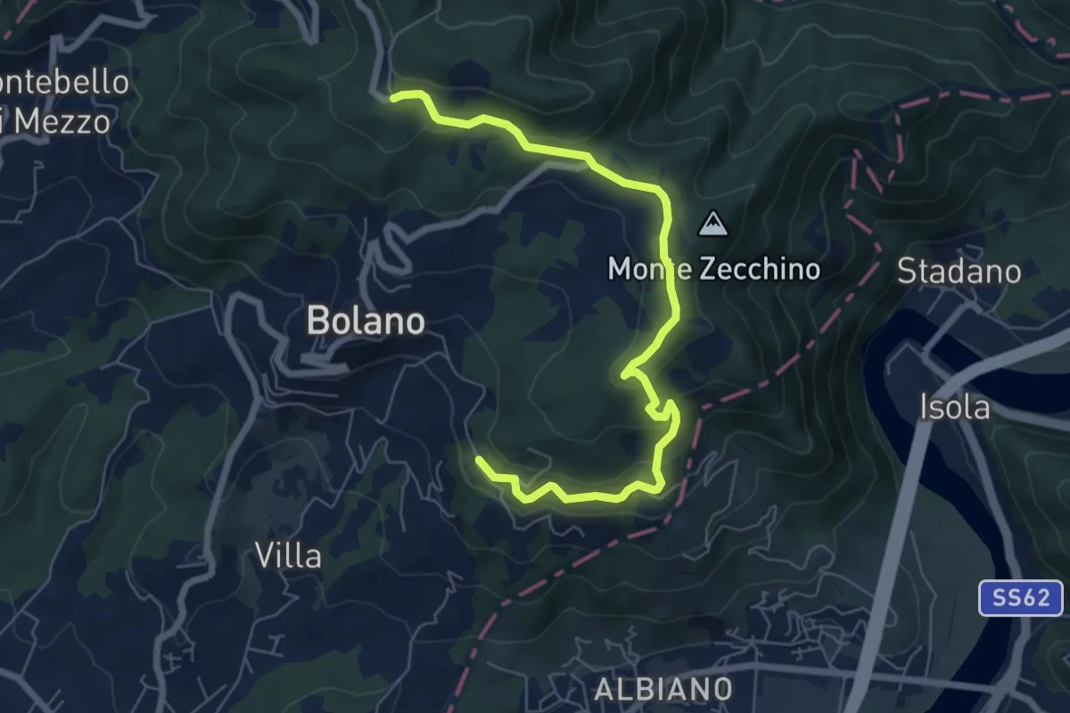
Easy · Trail
Bivio AVML - Tirolo - Case Solegnana - Case Cavanon - Bagatello
7.4 km · ↑ 297 m · 2 h 24 min · 6 km away
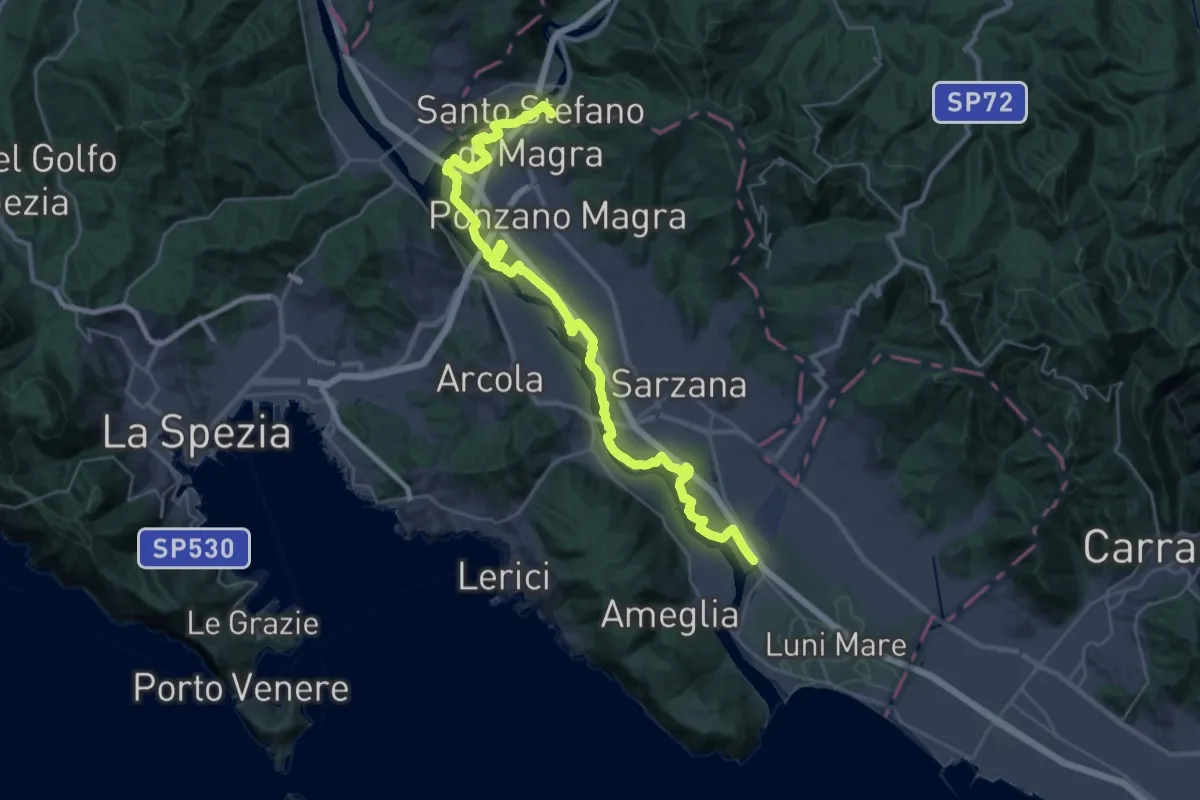
Demanding · Trail
Sarzana (Marina 3B) – Santo Stefano di Magra
20.2 km · ↑ 9 m · 5 h 5 min · 6 km away
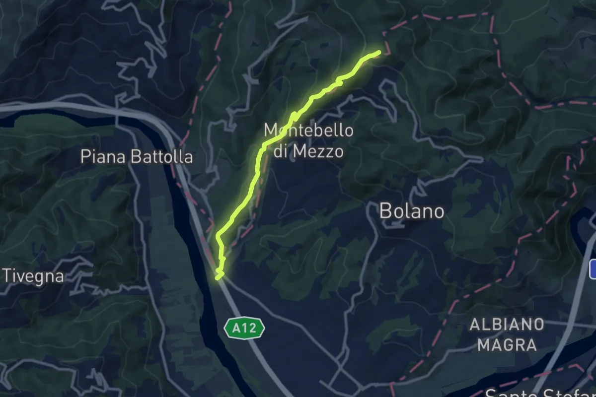
Medium · Trail
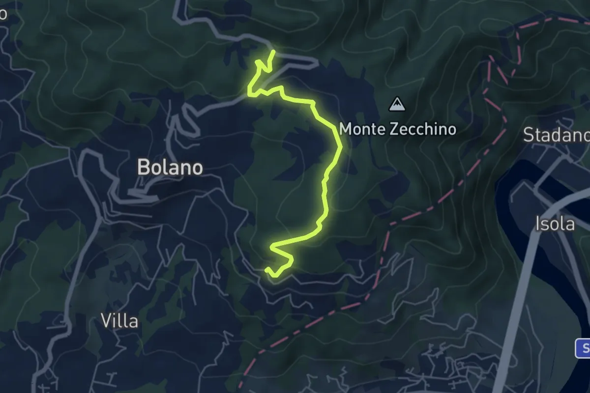
Ospedaletto – Monte Grosso
8.3 km · ↑ 516 m · 3 h 5 min · 6 km away
Easy · Trail
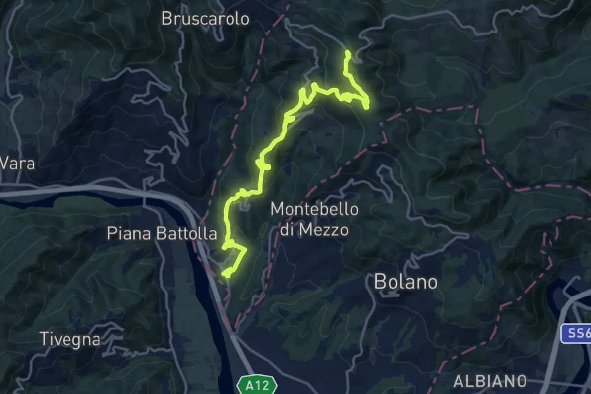
Bivio 285 – Case Cavanon
5.0 km · ↑ 186 m · 1 h 35 min · 6 km away
Medium · Trail
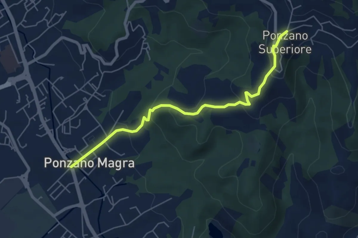
Via Marchesana (Variante Montedivalli)
15.0 km · ↑ 626 m · 4 h 53 min · 7 km away
Easy · Trail
Ponzano Madonnetta – Ponzano Superiore
5.2 km · ↑ 255 m · 1 h 47 min · 7 km away
Medium · Trail
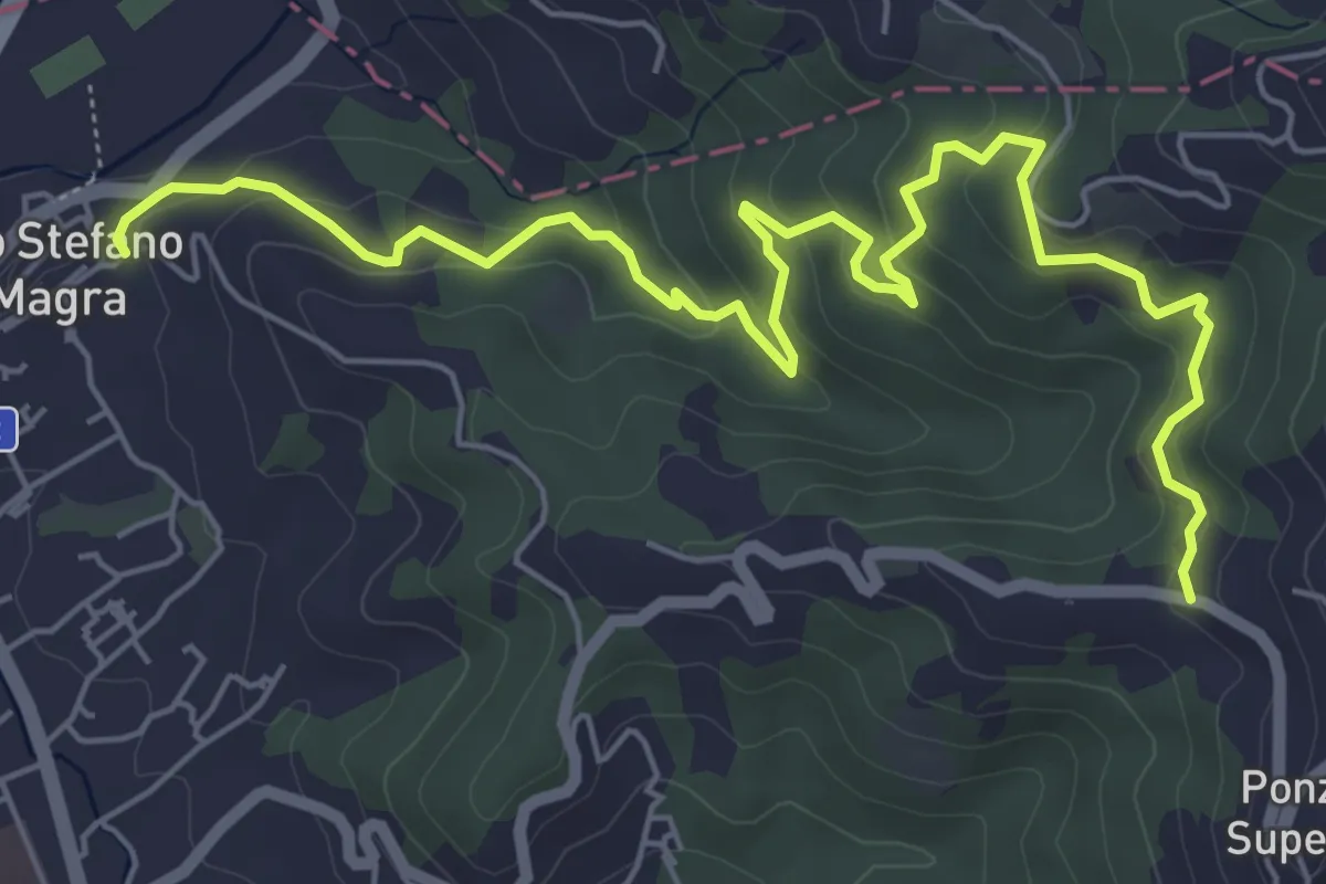
Santo Stefano di Magra – C. Volpara – C. Piazza
7.9 km · ↑ 378 m · 2 h 42 min · 7 km away
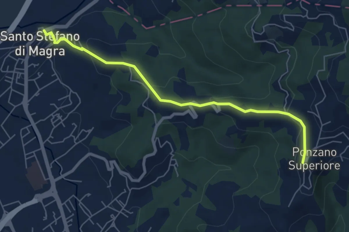
Easy · Trail
Santo Stefano di Magra – Ponzano Superiore
5.5 km · ↑ 219 m · 1 h 47 min · 7 km away
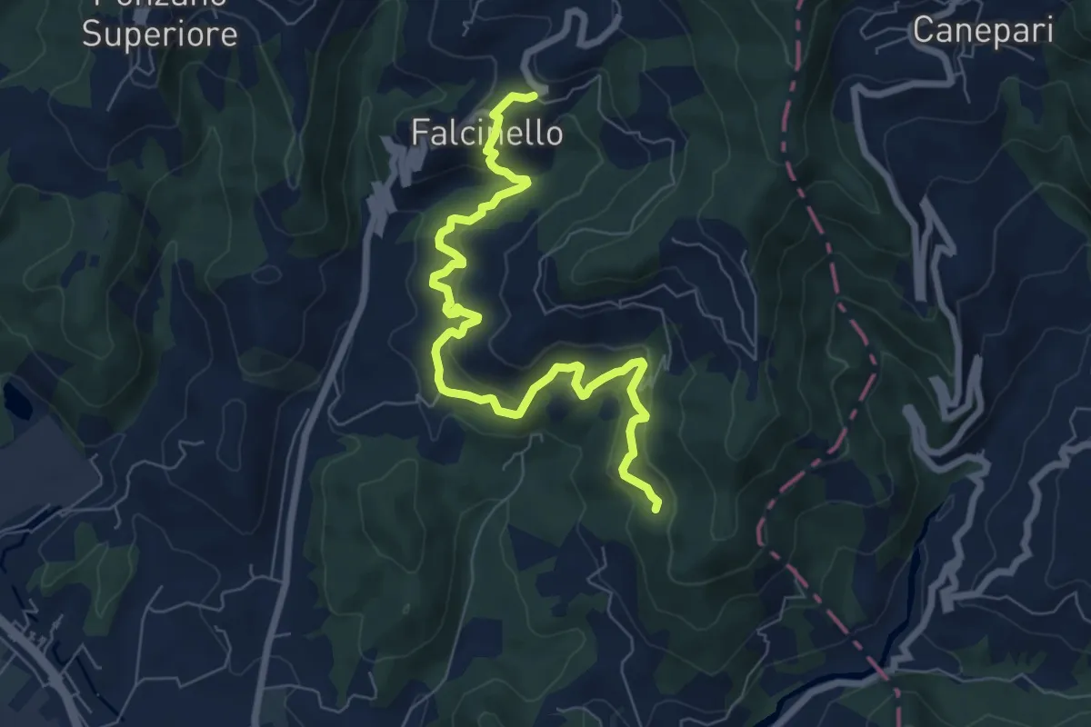
Medium · Trail
Falcinello – Percorso 325
8.0 km · ↑ 492 m · 2 h 57 min · 7 km away
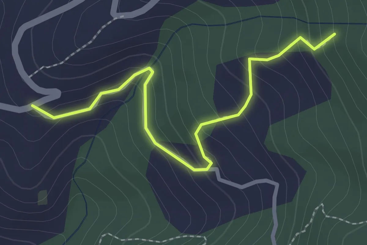
Easy · Trail
Località Falcinello (Percorso 322) – Percorso 327
2.4 km · ↑ 195 m · 1 h · 7 km away
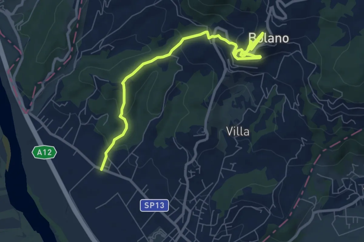
Medium · Trail
Ceparana – San Bartolomeo – Bolano (Bivio AVML)
7.9 km · ↑ 444 m · 2 h 49 min · 7 km away
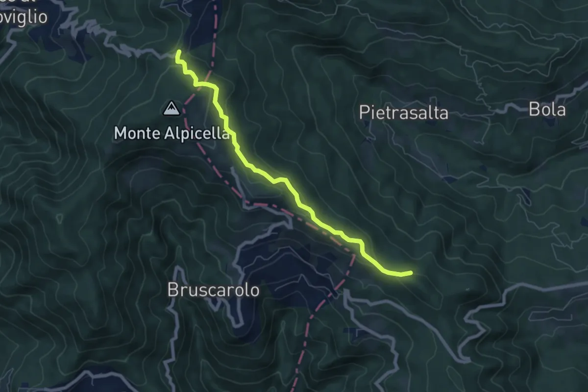
Easy · Trail
Passo Alpicella - Valico dei Solini
6.5 km · ↑ 254 m · 2 h 5 min · 7 km away
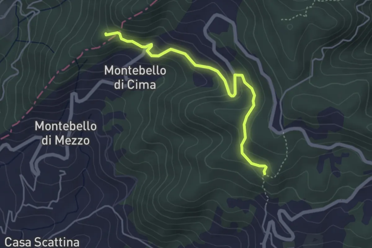
Easy · Trail
Carbonara - Bagatello – Montebello di Cima
4.2 km · ↑ 231 m · 1 h 29 min · 7 km away
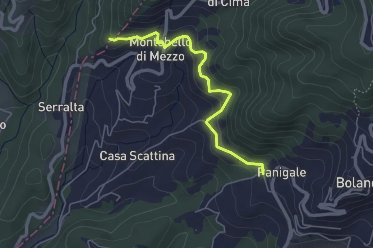
Easy · Trail
Panigale (Percorso 282) – Percorso 281
4.2 km · ↑ 227 m · 1 h 29 min · 7 km away
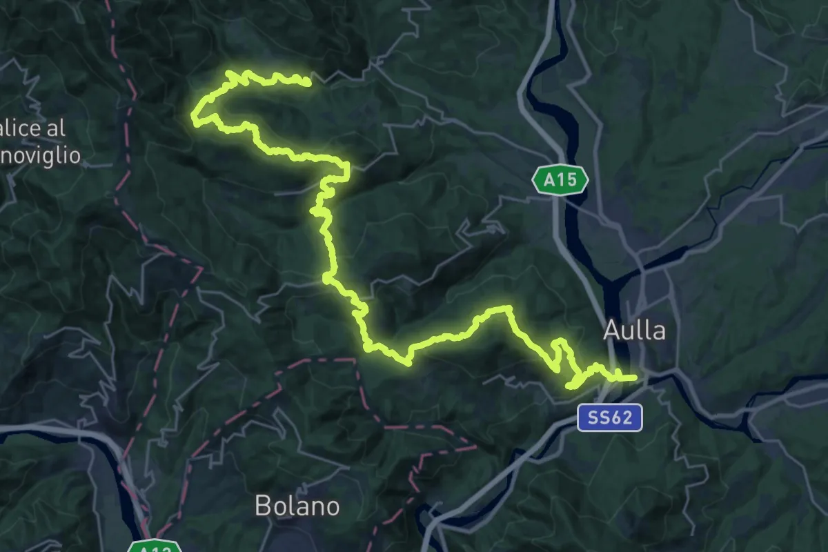
Demanding · Trail
Trekking Lunigiana 1
20.5 km · ↑ 935 m · 7 h 16 min · 7 km away
Demanding · Trail
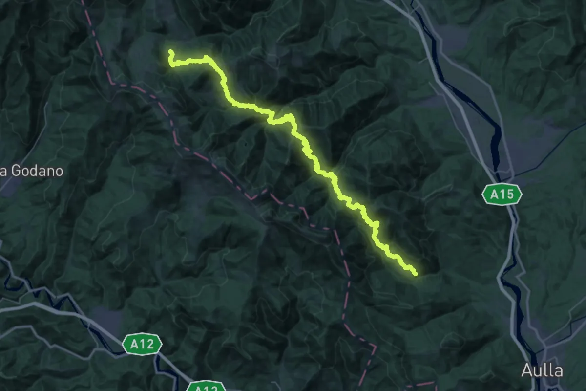
Trekking Lunigiana 2
23.4 km · ↑ 1648 m · 9 h 14 min · 7 km away
Easy · Trail
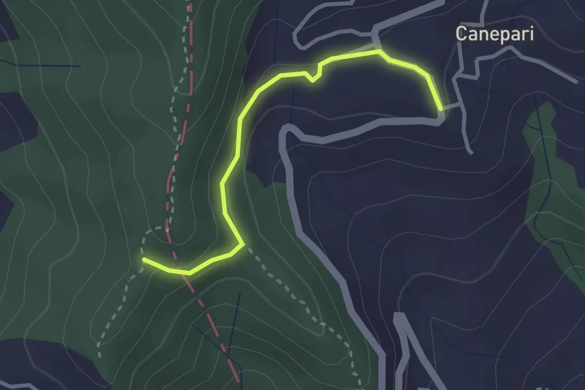
Canepari (Percorso 288) – Percorso 325
2.5 km · ↑ 90 m · 47 min · 7 km away
Easy · Trail
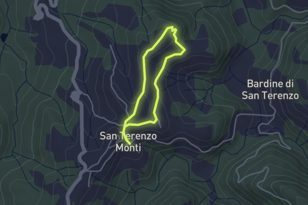
Sentiero della Memoria San Terenzo - Valla
2.2 km · ↑ 45 m · 39 min · 8 km away
Easy · Trail
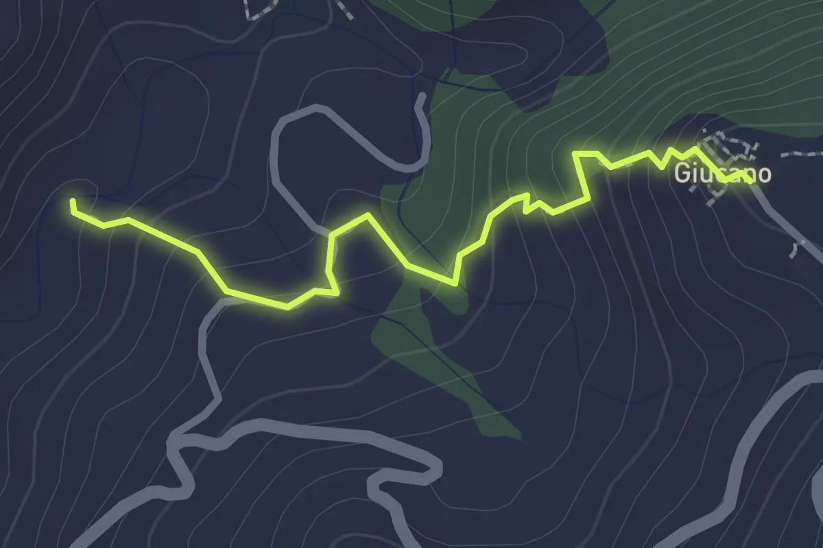
Percorso 288 – Giucano
2.4 km · ↑ 191 m · 58 min · 8 km away
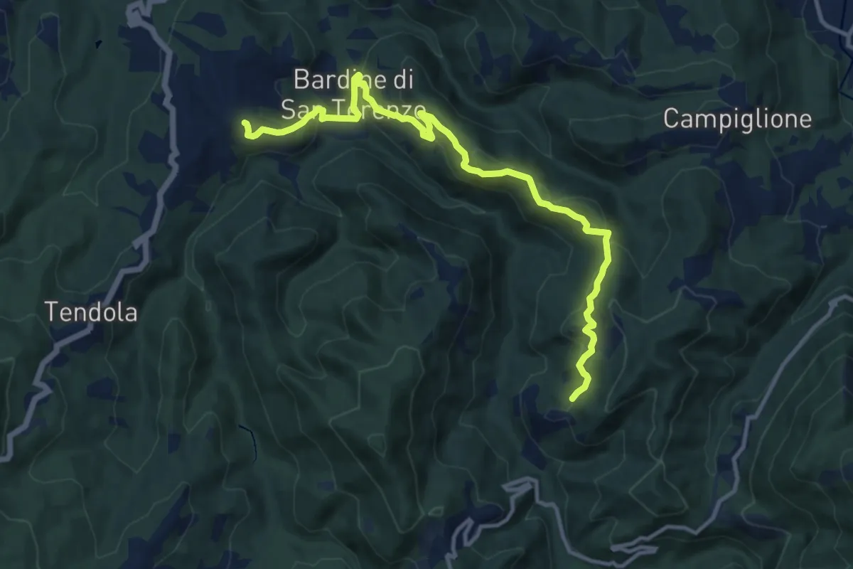
Medium · Trail
San Terenzo – Cecina
12.4 km · ↑ 595 m · 4 h 13 min · 8 km away
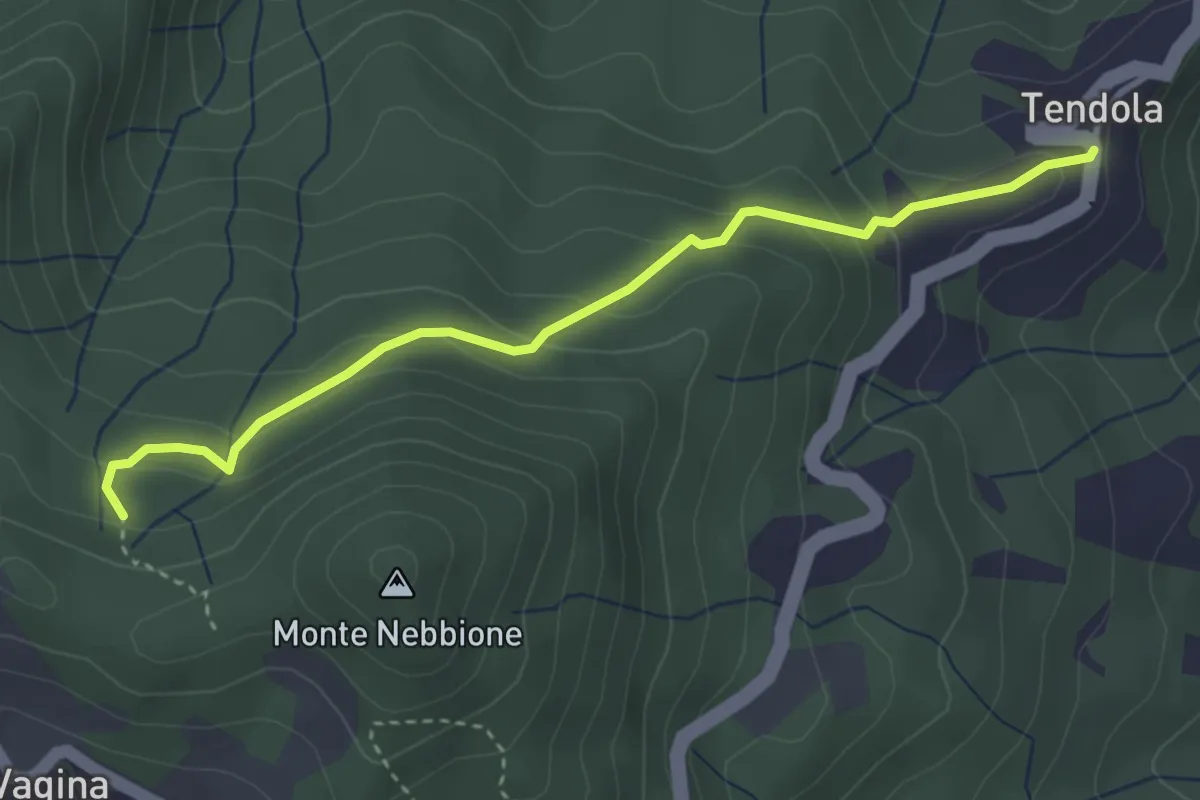
Easy · Trail
paese Tendola – Sentiero CAI 290
3.7 km · ↑ 221 m · 1 h 21 min · 8 km away
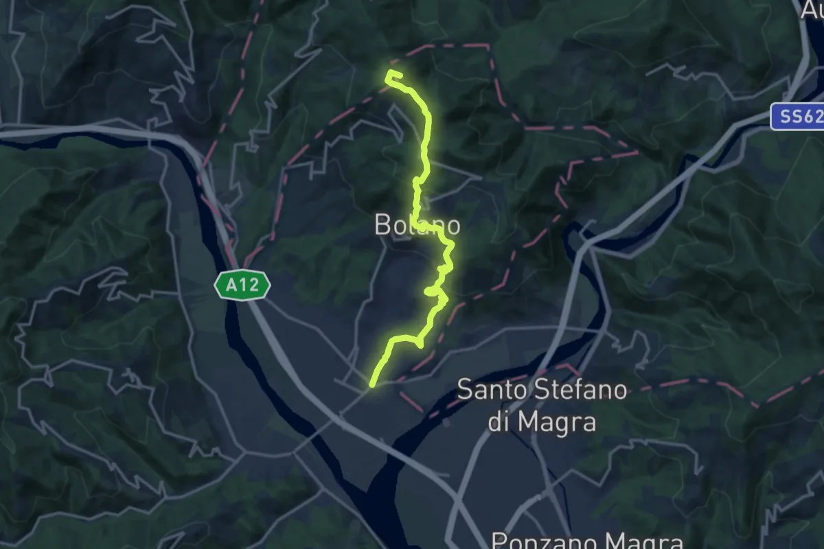
Medium · Summit
Valico dei Solini – Ceparana
13.9 km · ↑ 765 m · 4 h 56 min · 8 km away
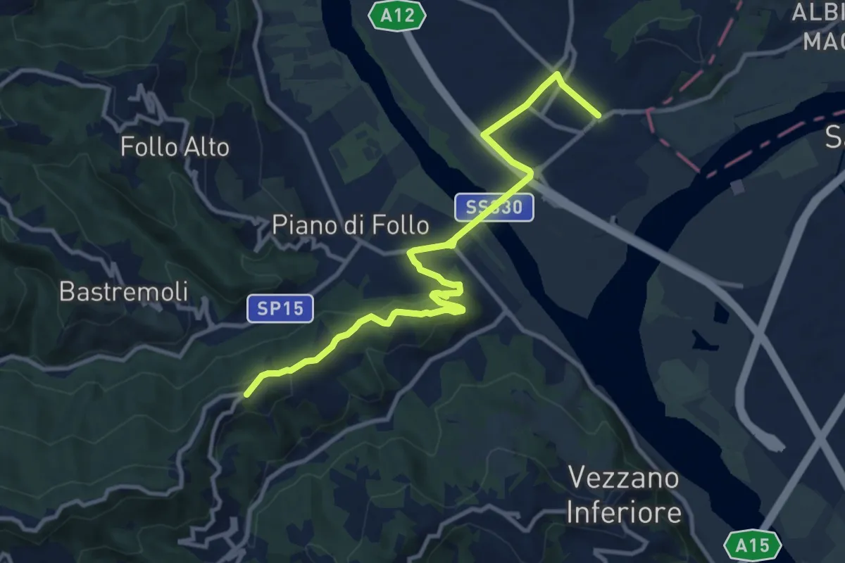
Medium · Trail
Collegamento AVG-AVML
11.7 km · ↑ 286 m · 3 h 22 min · 8 km away
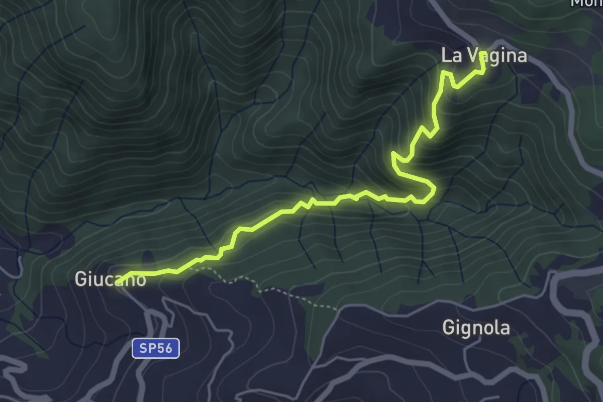
Medium · Trail
Giucano – Località La Vagina
5.1 km · ↑ 404 m · 2 h 5 min · 8 km away
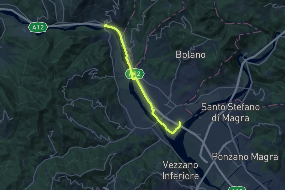
Medium · Trail
Ceparana – Piano di Madrignano
14.0 km · ↑ 32 m · 3 h 22 min · 9 km away
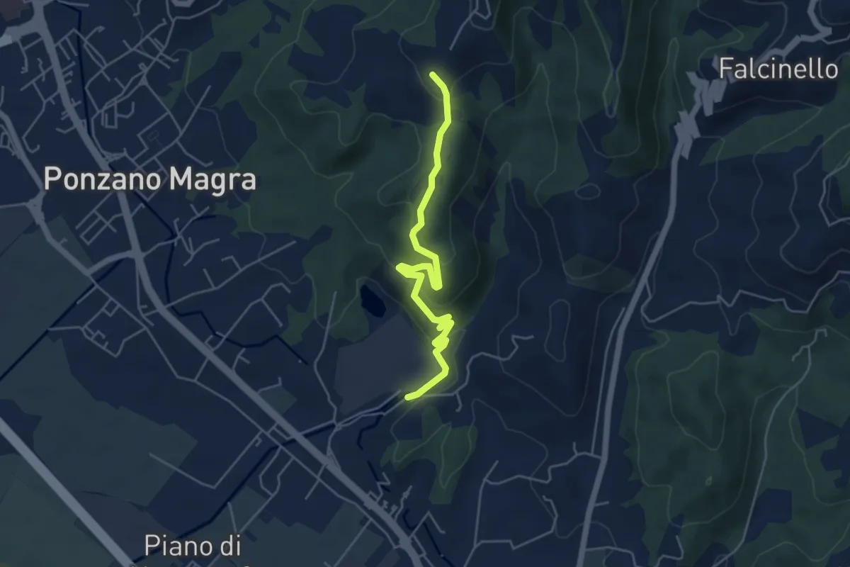
Easy · Trail
Percorso 341 – Percorso 343
5.0 km · ↑ 234 m · 1 h 41 min · 9 km away
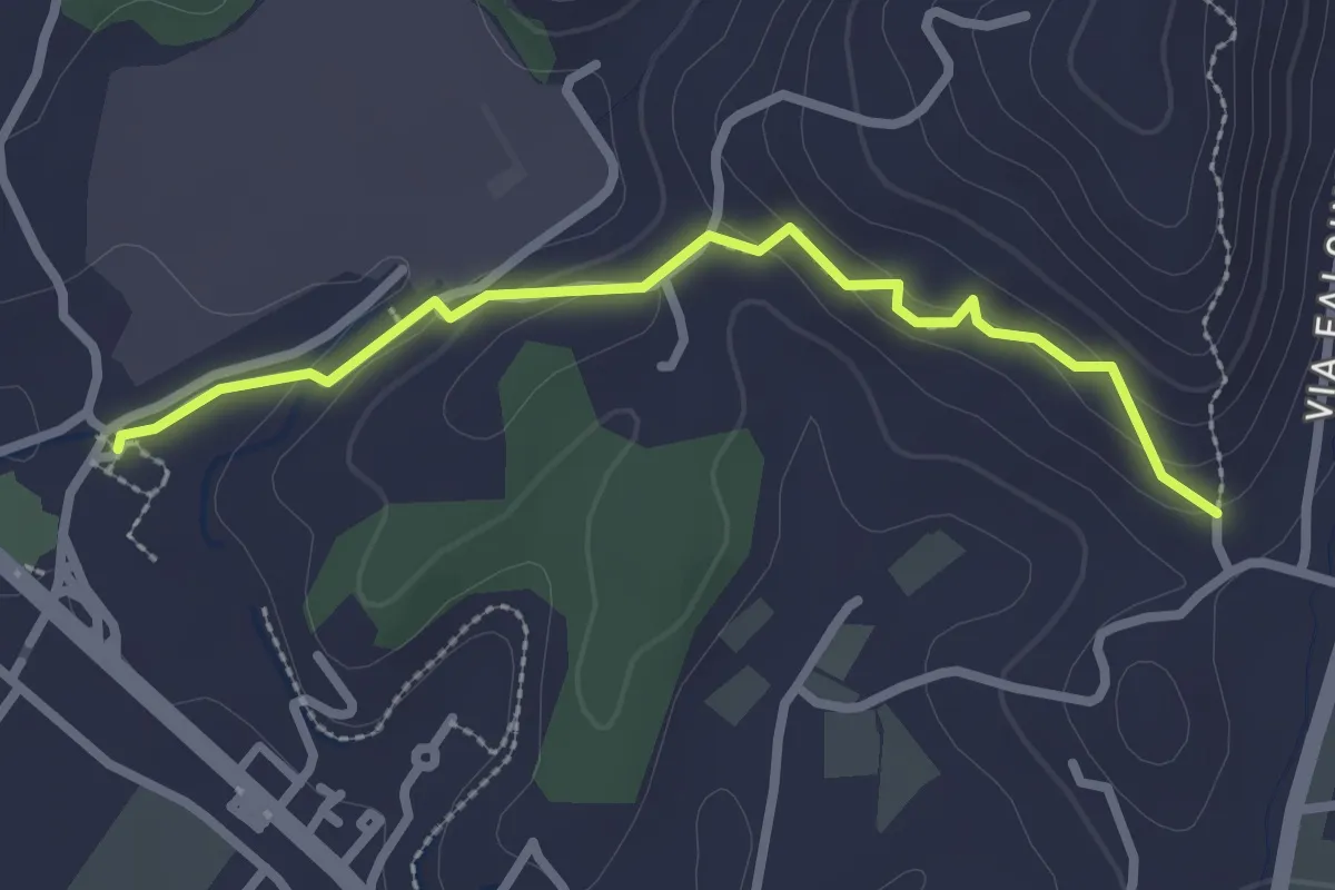
Easy · Trail
Ponzano Ceramica – Ponte Amola
2.7 km · ↑ 99 m · 51 min · 9 km away
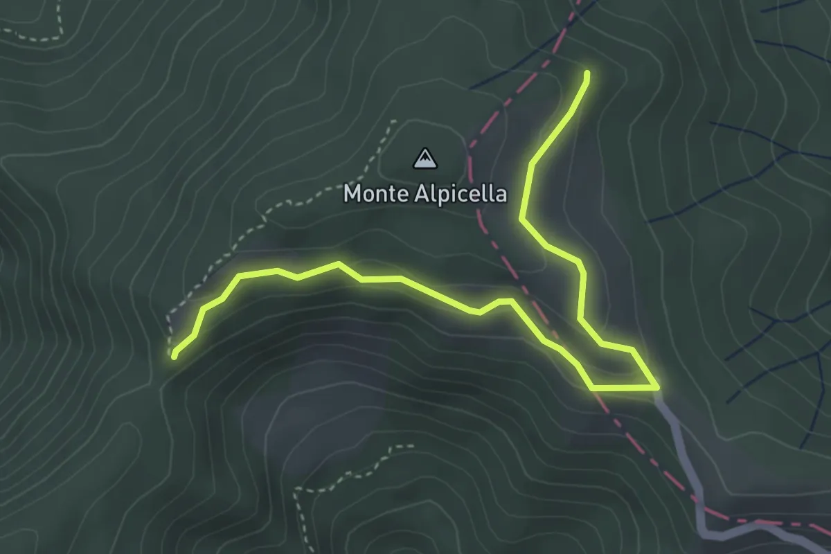
Easy · Trail
Foce Carzachi – Alpicella
4.5 km · ↑ 175 m · 1 h 26 min · 9 km away
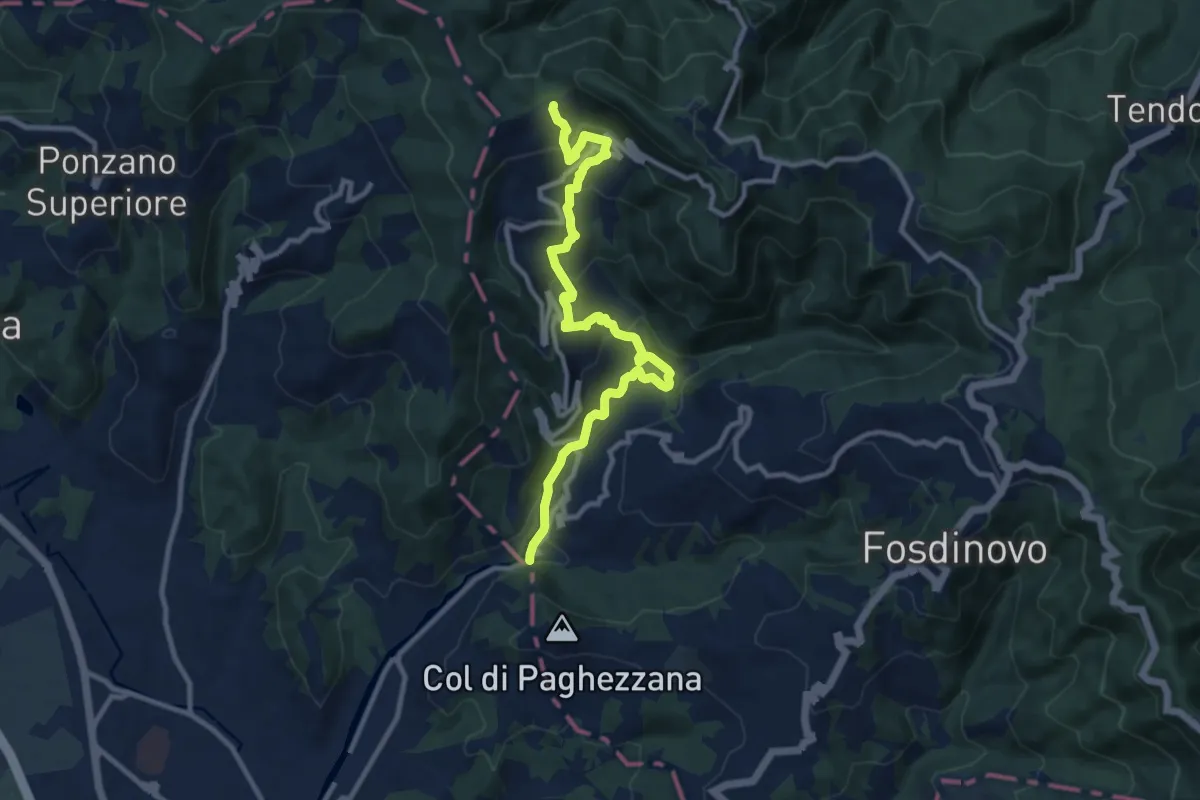
Demanding · Trail
Ponte Fabiano – Percorso 290
11.4 km · ↑ 536 m · 3 h 51 min · 9 km away
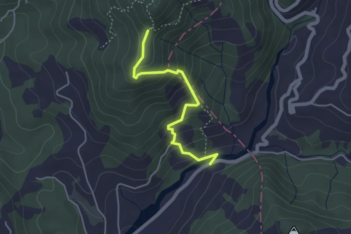
Easy · Trail
Via dei Molini – Percorso 325 - Prulla
3.3 km · ↑ 276 m · 1 h 23 min · 9 km away
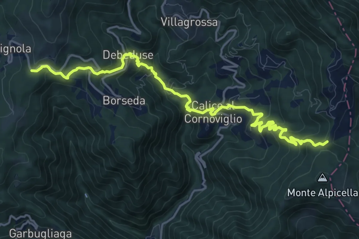
Demanding · Trail
Foce Veppo - Debeduse – Terugiara - Calice al Cornoviglio - Alpicella
13.8 km · ↑ 841 m · 5 h 4 min · 9 km away
Easy · Trail
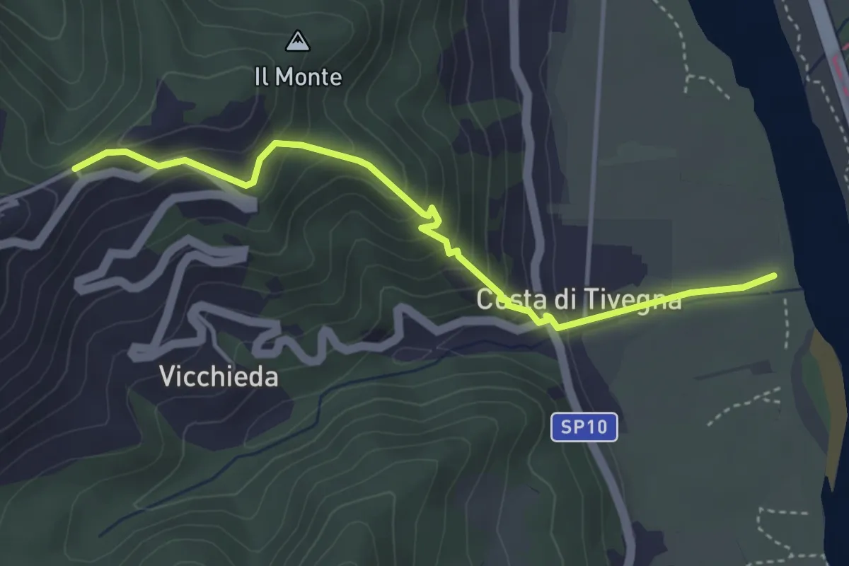
Vara – Pie’ di Foce
4.1 km · ↑ 292 m · 1 h 37 min · 9 km away
Easy · Trail
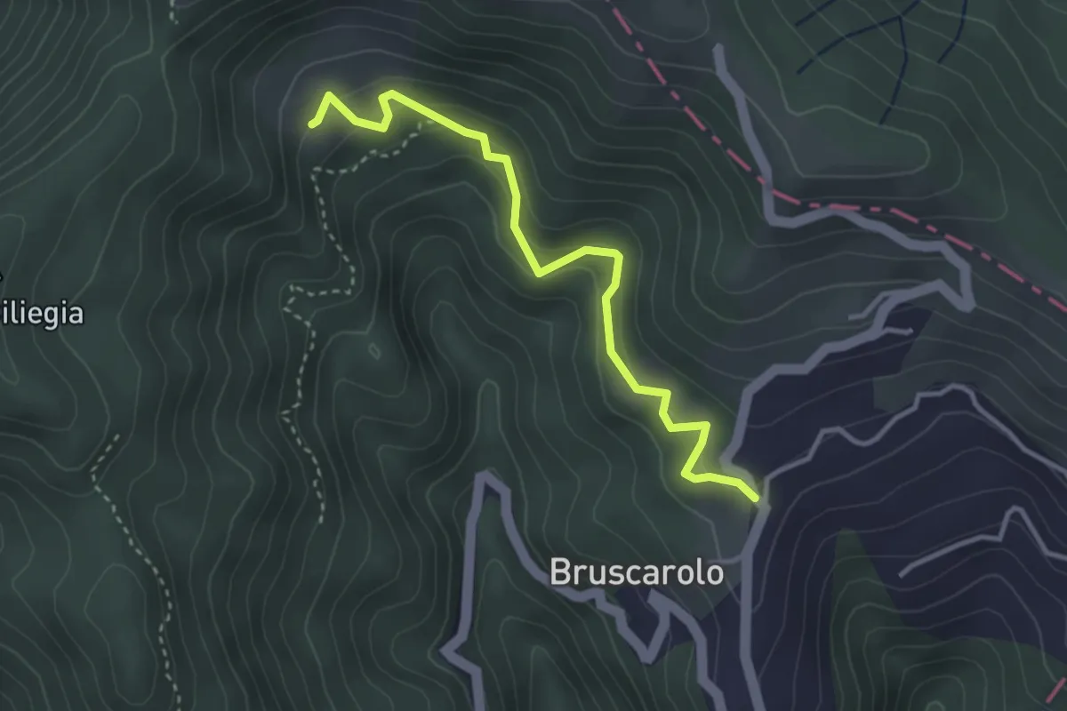
Bruscarolo - Case Carzachi
3.5 km · ↑ 244 m · 1 h 22 min · 9 km away
Medium · Trail
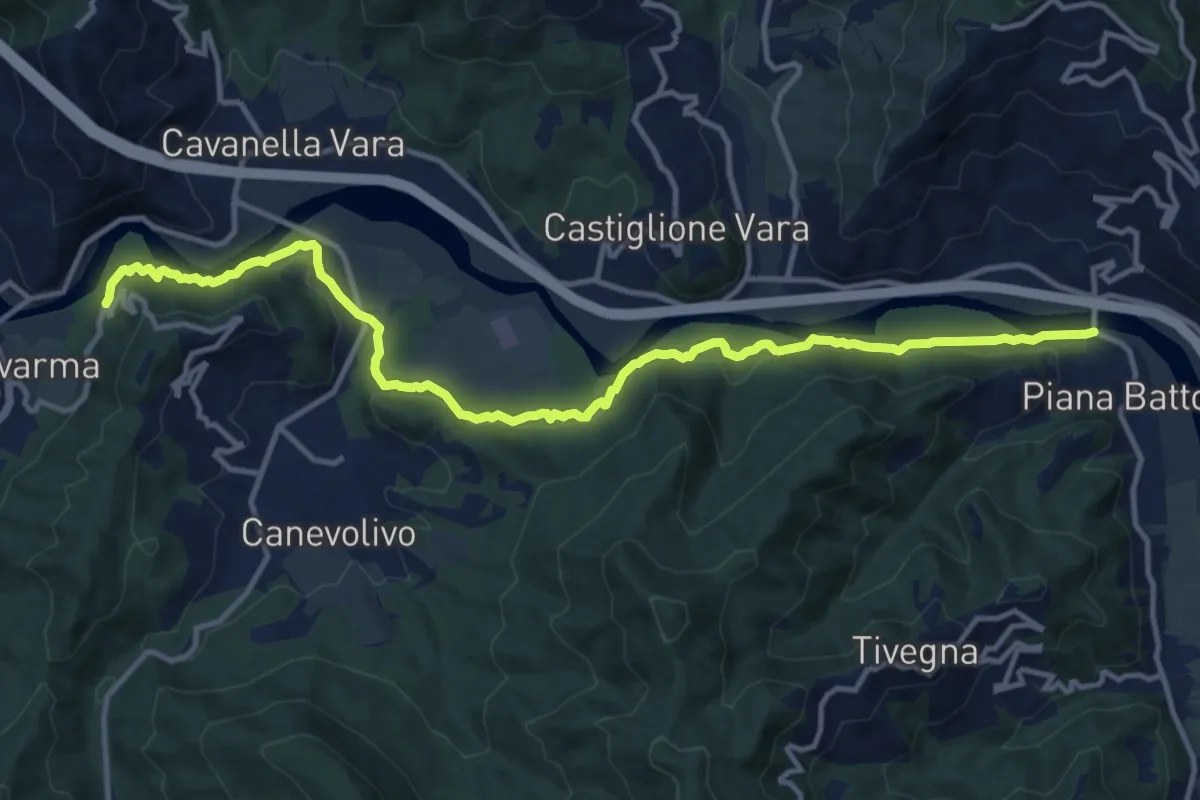
Strada dei Tedeschi
14.7 km · ↑ 401 m · 4 h 20 min · 10 km away
Medium · Trail
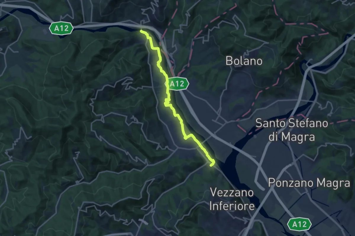
Bottagna – Piana Battolla
13.9 km · ↑ 31 m · 3 h 22 min · 10 km away