Trails near Aulla
146 hikes starting within 15 km, nearest first.
Nearest first, page 2 of 4
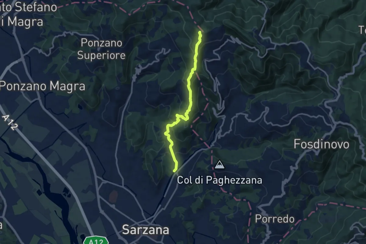
Medium · Trail
Ponte Budella – Percorso 290
9.7 km · ↑ 538 m · 3 h 28 min · 10 km away
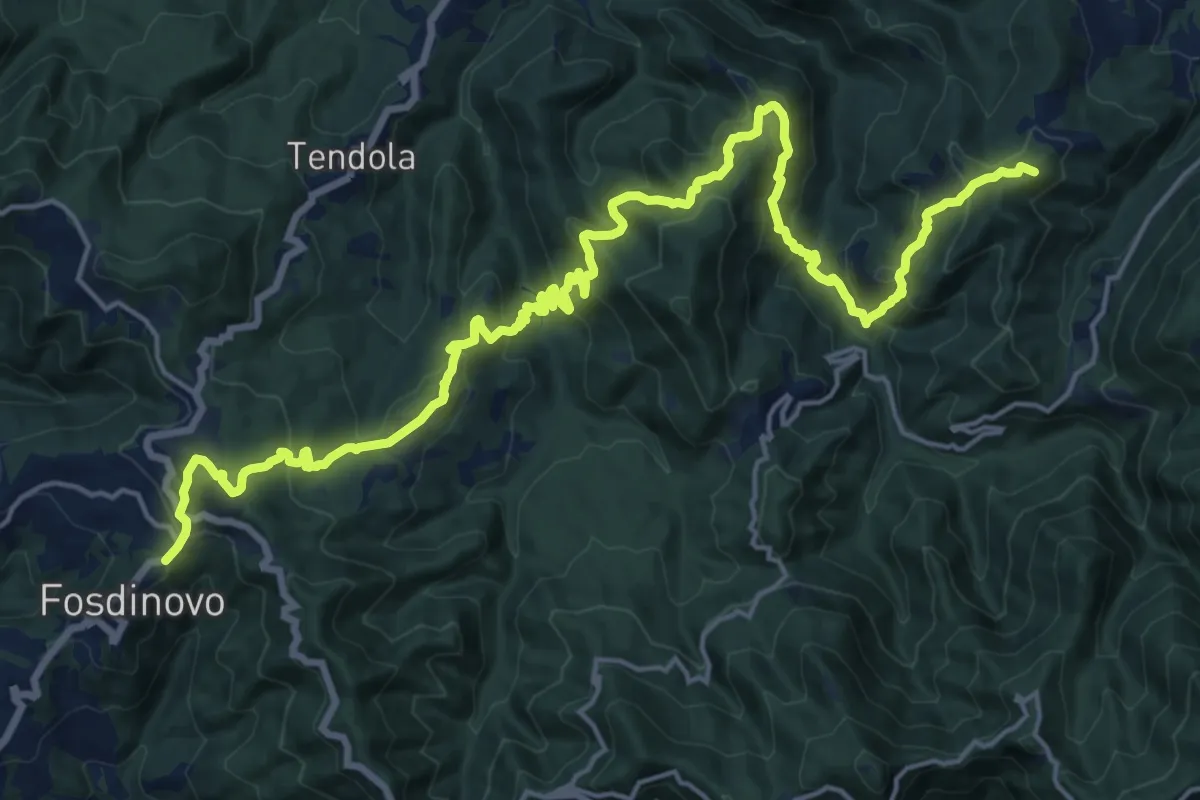
Demanding · Summit
Trekking Lunigiana 12
24.6 km · ↑ 1378 m · 8 h 48 min · 10 km away
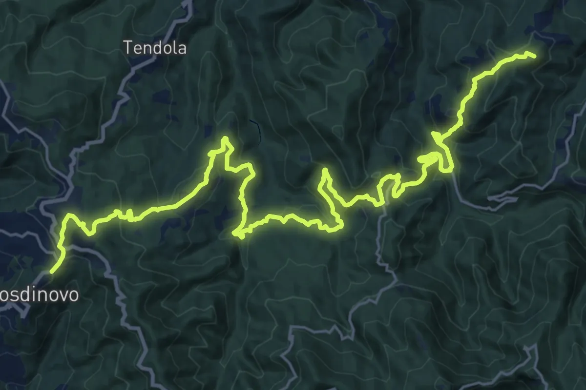
Demanding · Summit
Sentiero dei Ducati Tappa 11
28.7 km · ↑ 1420 m · 9 h 51 min · 10 km away
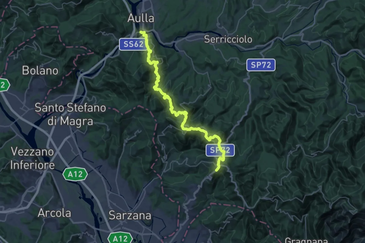
Demanding · Trail
Trekking Lunigiana 13
15.3 km · ↑ 597 m · 5 h 19 min · 10 km away
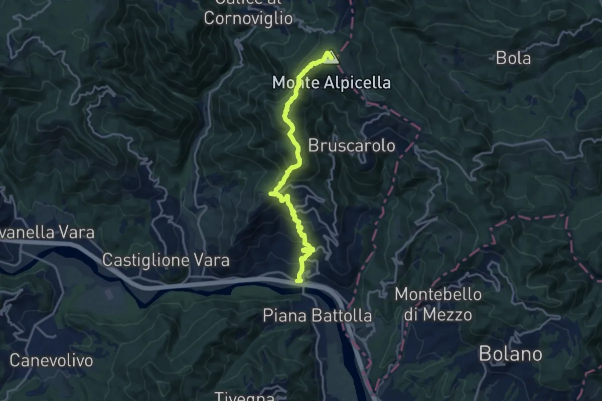
Demanding · Summit
Piano di Madrignano - Madrignano - Foce Carzachi - Alpicella
12.6 km · ↑ 855 m · 4 h 49 min · 10 km away
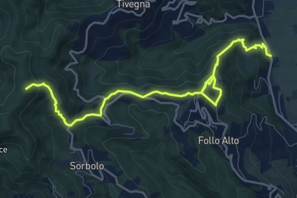
Medium · Summit
Panigara – Follo – Madonna del Carmine – Monte Termi Dritti
10.5 km · ↑ 787 m · 4 h 12 min · 10 km away
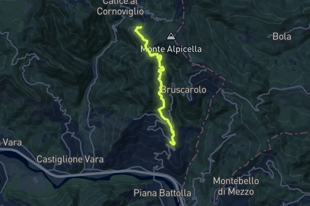
Demanding · Trail
Tranci di Sotto - Provedasco - Case Carzachi - Foce Carzachi - Nasso di Sopra
10.9 km · ↑ 845 m · 4 h 24 min · 10 km away
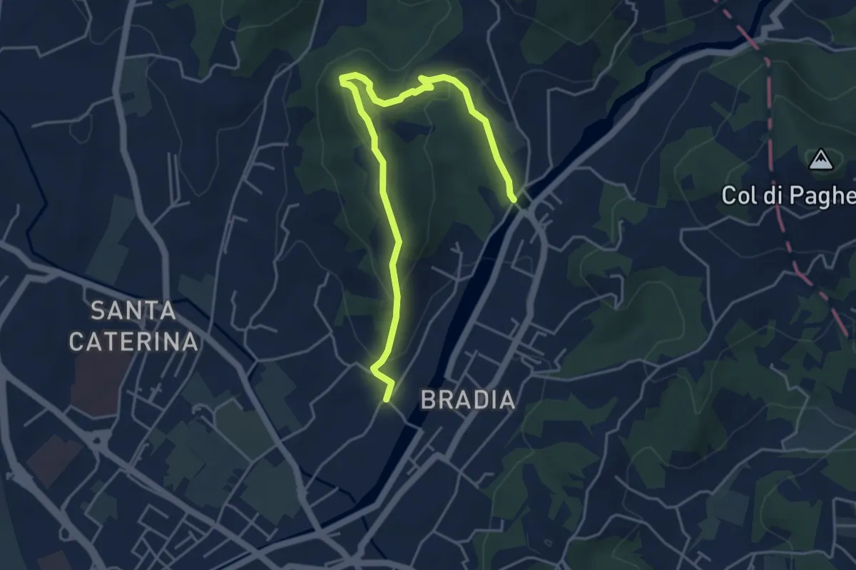
Easy · Trail
Via Paradiso – Ponte della Budella
5.1 km · ↑ 245 m · 1 h 45 min · 10 km away
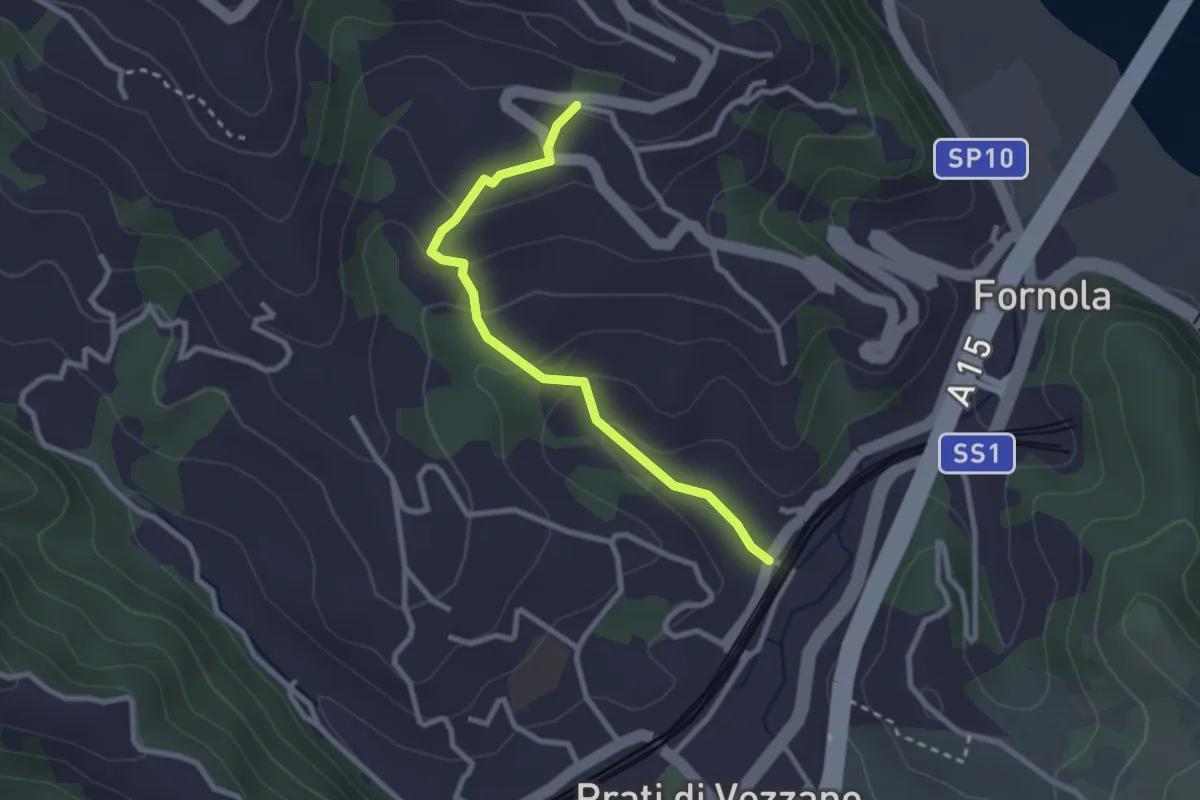
Easy · Trail
Fornola – Il Giardino – S. Maria
2.7 km · ↑ 134 m · 56 min · 11 km away
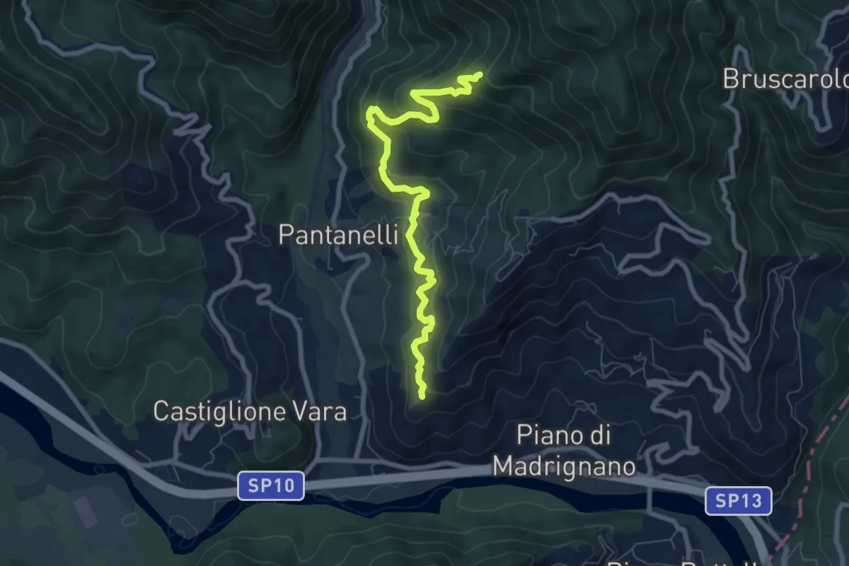
Medium · Trail
La Pianaccia - Case Carpenedo - Usurana - Novegina di Cima
7.6 km · ↑ 503 m · 2 h 53 min · 11 km away
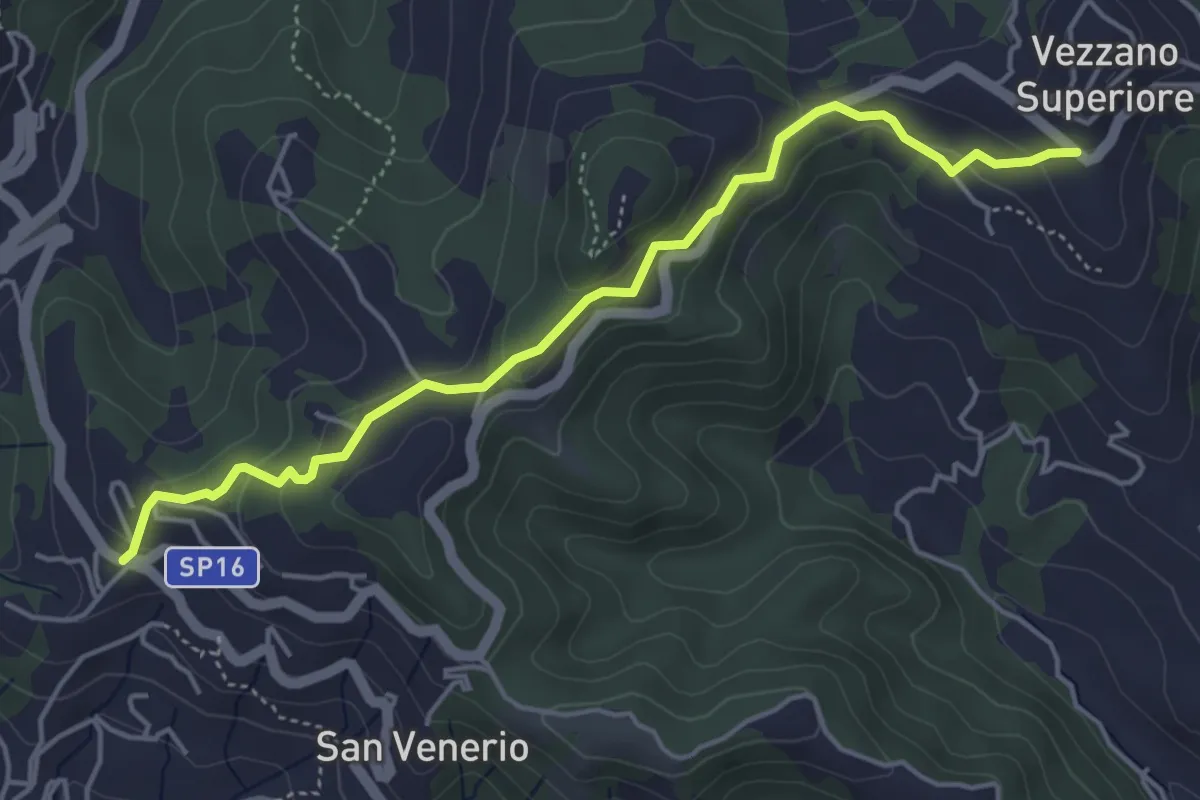
Easy · Trail
Vezzano Ligure – Forte Bastia – Beverone
5.0 km · ↑ 223 m · 1 h 40 min · 11 km away
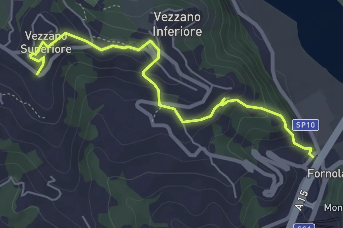
Easy · Trail
Fornola – Darola – Vezzano Ligure
5.0 km · ↑ 275 m · 1 h 46 min · 11 km away
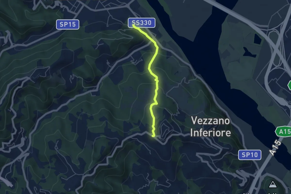
Easy · Trail
Bottagna – Vezzano Ligure
4.2 km · ↑ 228 m · 1 h 29 min · 11 km away
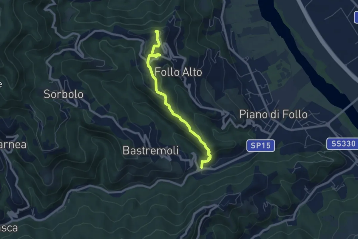
Easy · Trail
Val Durasca – Toracca – Follo
5.5 km · ↑ 297 m · 1 h 56 min · 11 km away
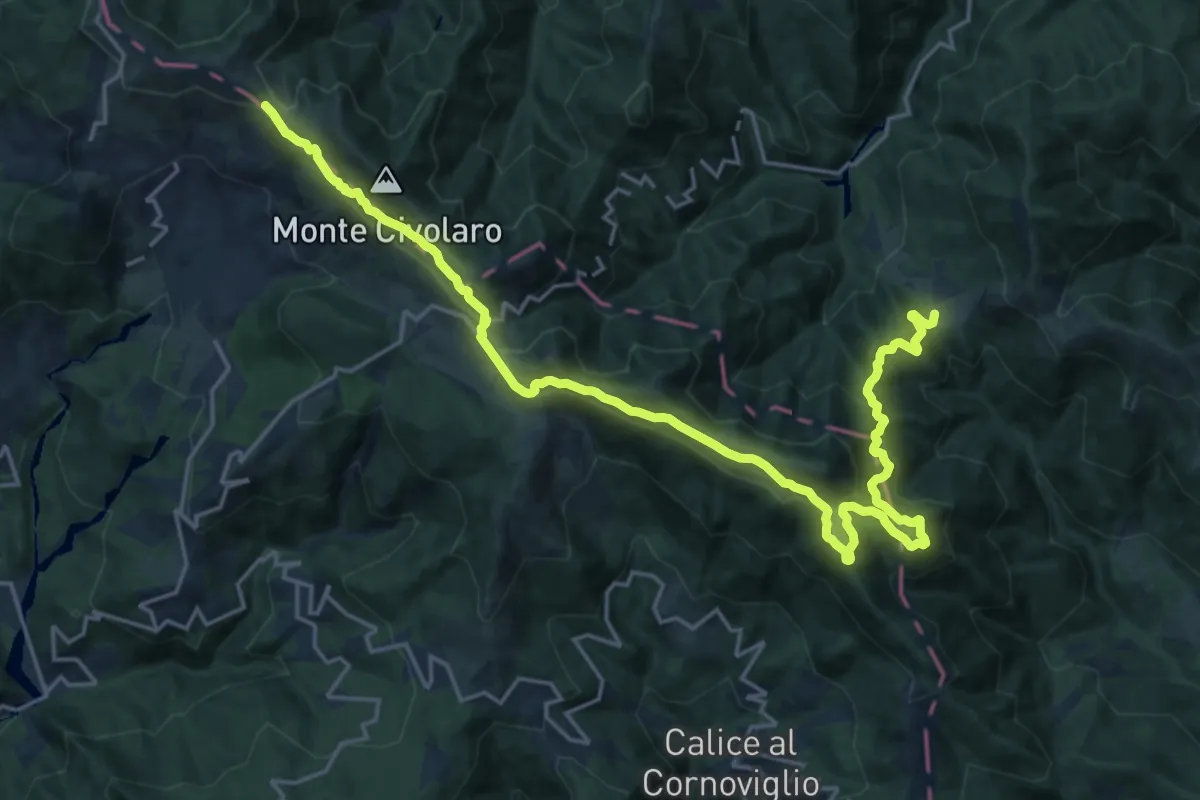
Demanding · Summit
Via Marchesana
25.3 km · ↑ 1247 m · 8 h 40 min · 11 km away
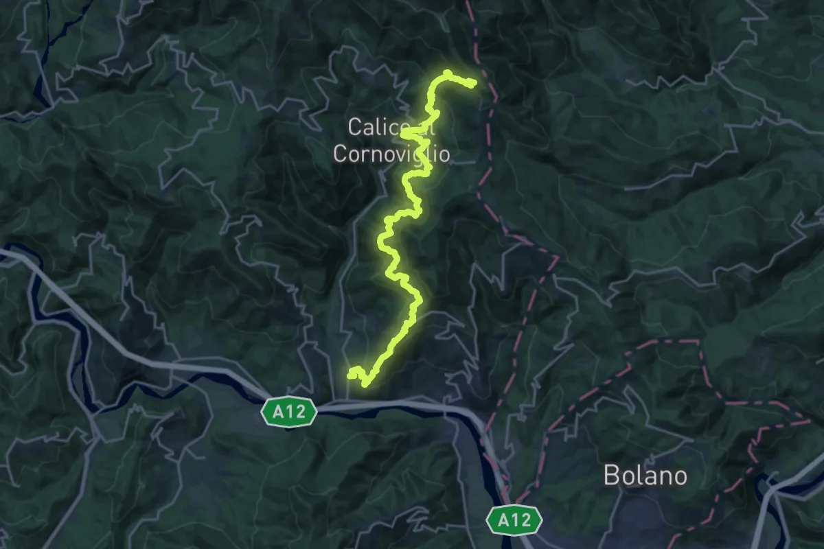
Demanding · Trail
La Pianaccia - Madrignano - Novegina di Cima - Nasso - Calice al Cornoviglio - Santa Maria - Le Cassorane - Bivio AVML
11.4 km · ↑ 1221 m · 5 h 7 min · 11 km away
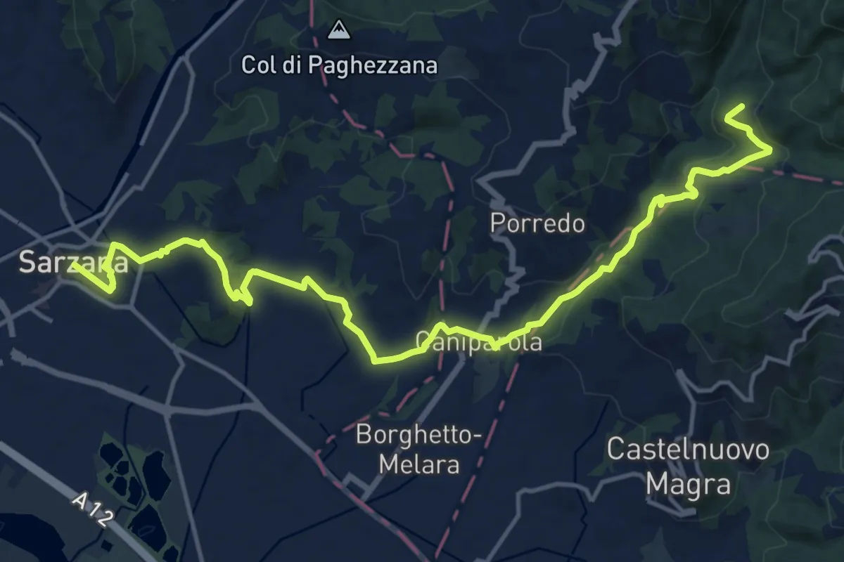
Medium · Trail
Sentiero dei Ducati Tappa 12
16.9 km · ↑ 465 m · 5 h · 11 km away
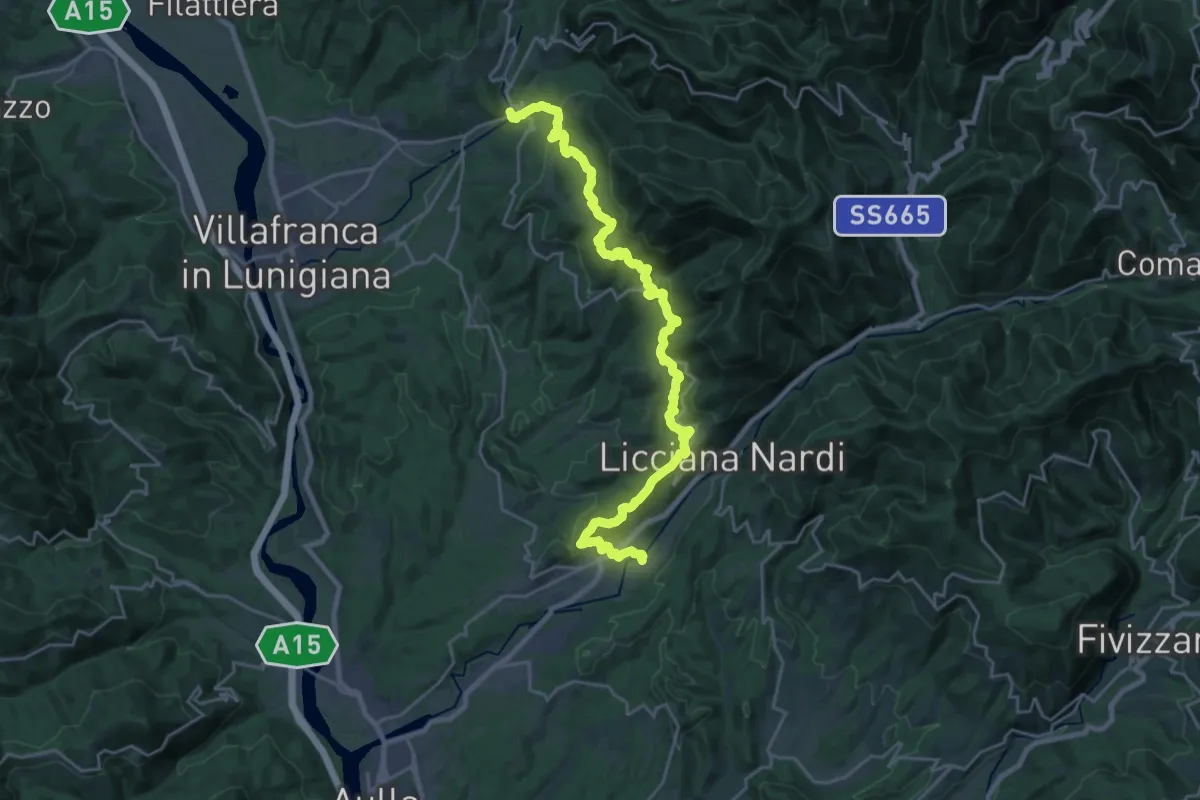
Medium · Trail
Via del Volto Santo 2a
13.9 km · ↑ 525 m · 4 h 40 min · 11 km away
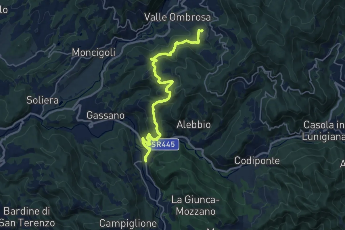
Medium · Trail
Colle Cerignano – Gragnola
15.8 km · ↑ 588 m · 5 h 1 min · 12 km away
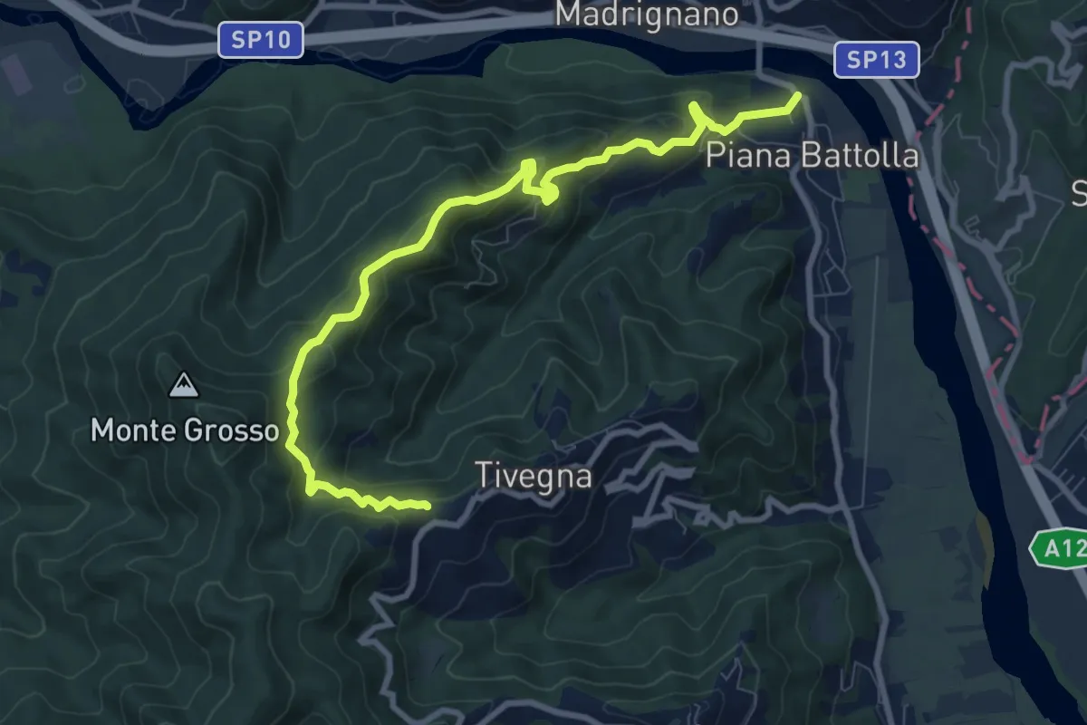
Expert · Trail
Piana Battolla - Torenco – Monte Lama Ebreo
9.9 km · ↑ 618 m · 3 h 41 min · 12 km away
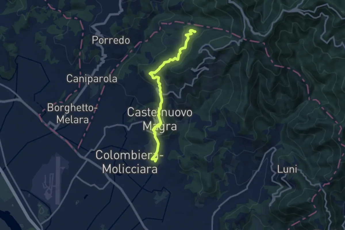
Medium · Trail
M.no del Piano - Castelnuovo Magra - Casala
9.1 km · ↑ 572 m · 3 h 23 min · 12 km away
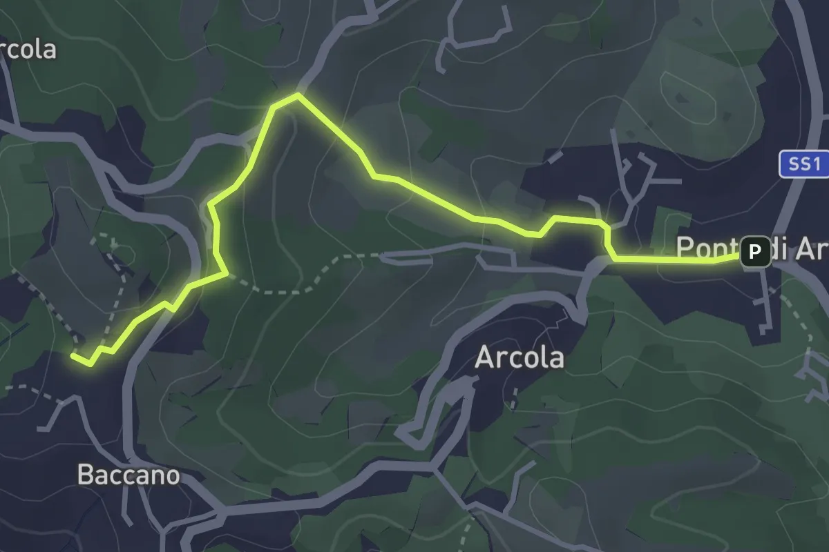
Easy · Trail
Via Romana
3.7 km · ↑ 154 m · 1 h 12 min · 12 km away
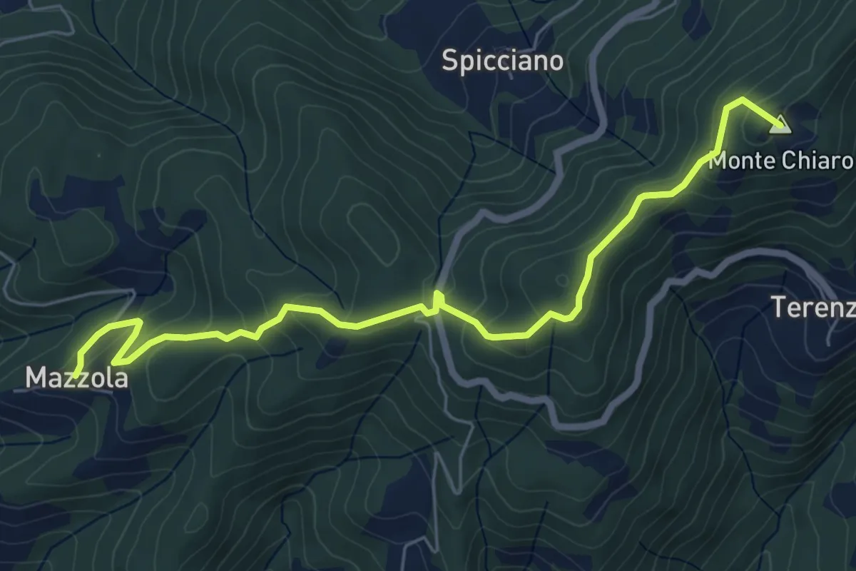
Easy · Summit
Mazzola – Turlago
6.6 km · ↑ 308 m · 2 h 13 min · 12 km away
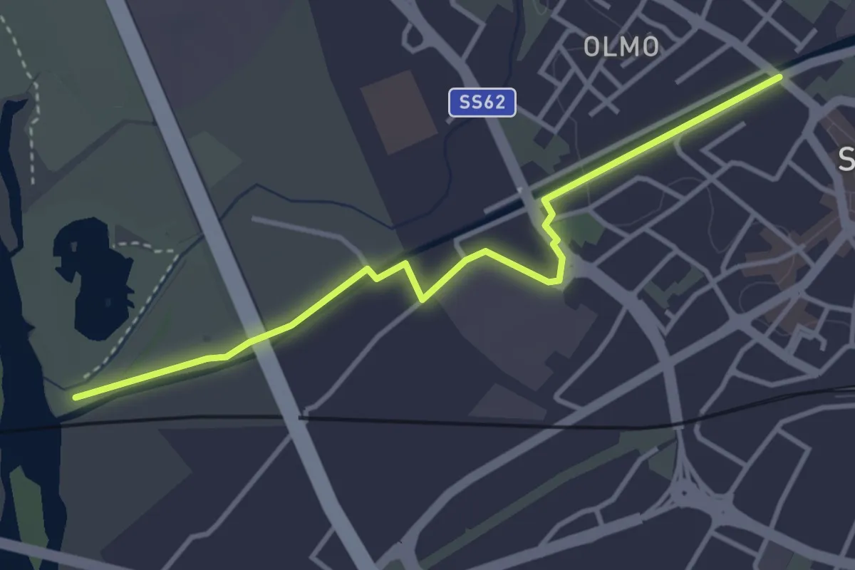
Easy · Trail
Sarzana VF – 390 PF Fiume Magra
3.9 km · ↑ 18 m · 57 min · 12 km away
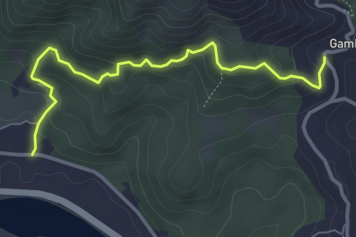
Easy · Trail
Cavanella – Gambella
5.6 km · ↑ 314 m · 2 h 1 min · 12 km away
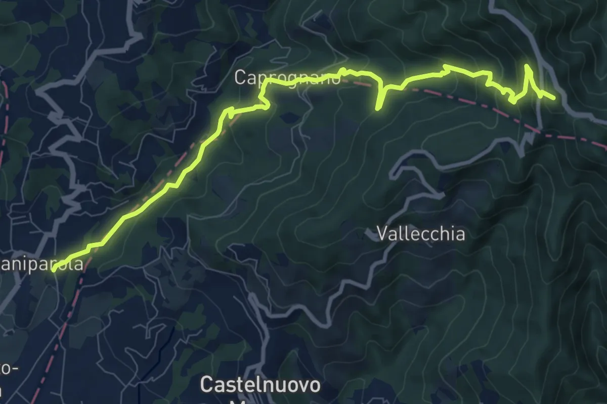
Medium · Summit
Caniparola – Strada Provinciale 51 - SP73
11.0 km · ↑ 629 m · 3 h 57 min · 12 km away
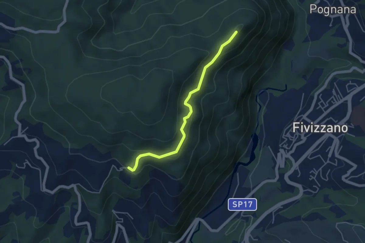
Easy · Trail
Virolo – Chiesina Tergagliana
4.0 km · ↑ 208 m · 1 h 24 min · 12 km away
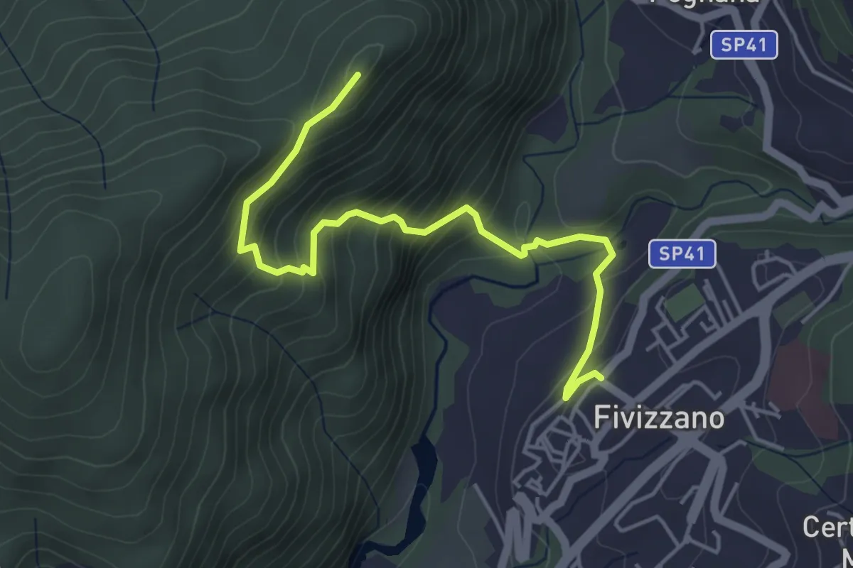
Medium · Trail
Fivizzano – Chiesina Tergagliana
5.0 km · ↑ 402 m · 2 h 3 min · 12 km away
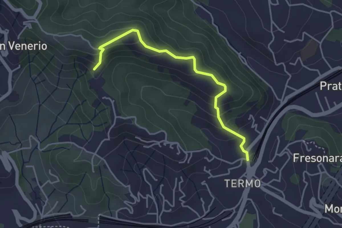
Easy · Trail
Variante AVG del Termo
3.7 km · ↑ 200 m · 1 h 19 min · 12 km away
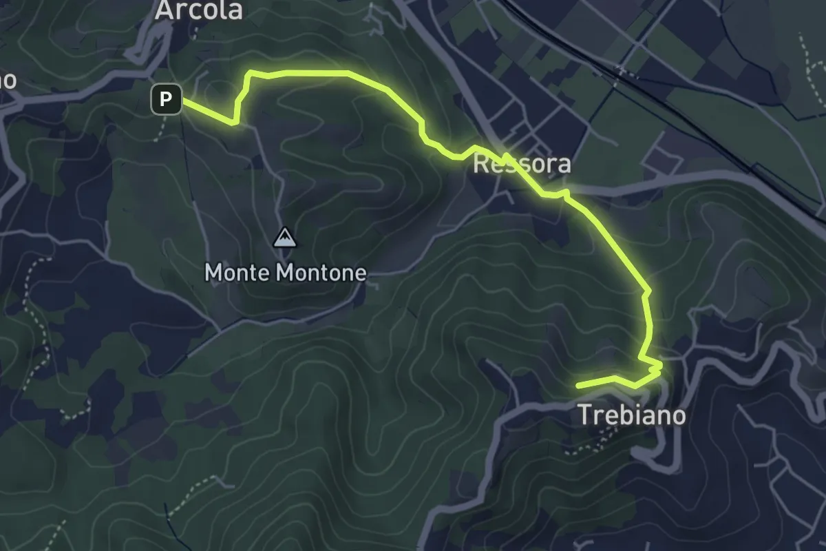
Easy · Summit
Trebiano - Ressora - Arcola (via delle Pievi)
5.3 km · ↑ 265 m · 1 h 50 min · 12 km away
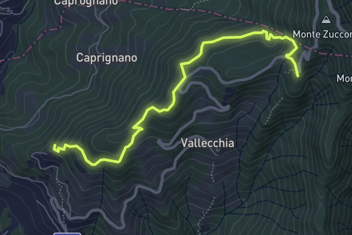
Medium · Trail
Monte Doglio – Case Bertella
6.4 km · ↑ 363 m · 2 h 18 min · 13 km away
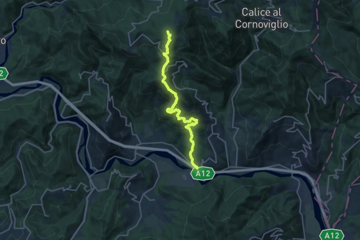
Demanding · Summit
San Remigio – Case Andreotti – Carme di Garbugliaga (Bivio 152)
14.1 km · ↑ 865 m · 5 h 12 min · 13 km away
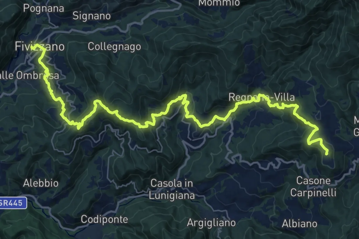
Demanding · Summit
Via del Volto Santo 3
35.2 km · ↑ 1634 m · 11 h 51 min · 13 km away
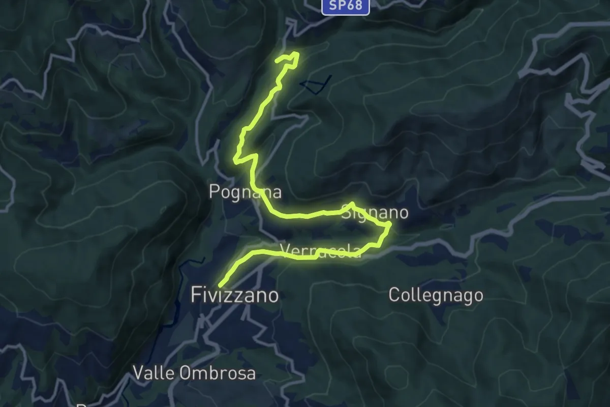
Medium · Trail
Fivizzano – Mulino Arlia
13.0 km · ↑ 454 m · 4 h 2 min · 13 km away
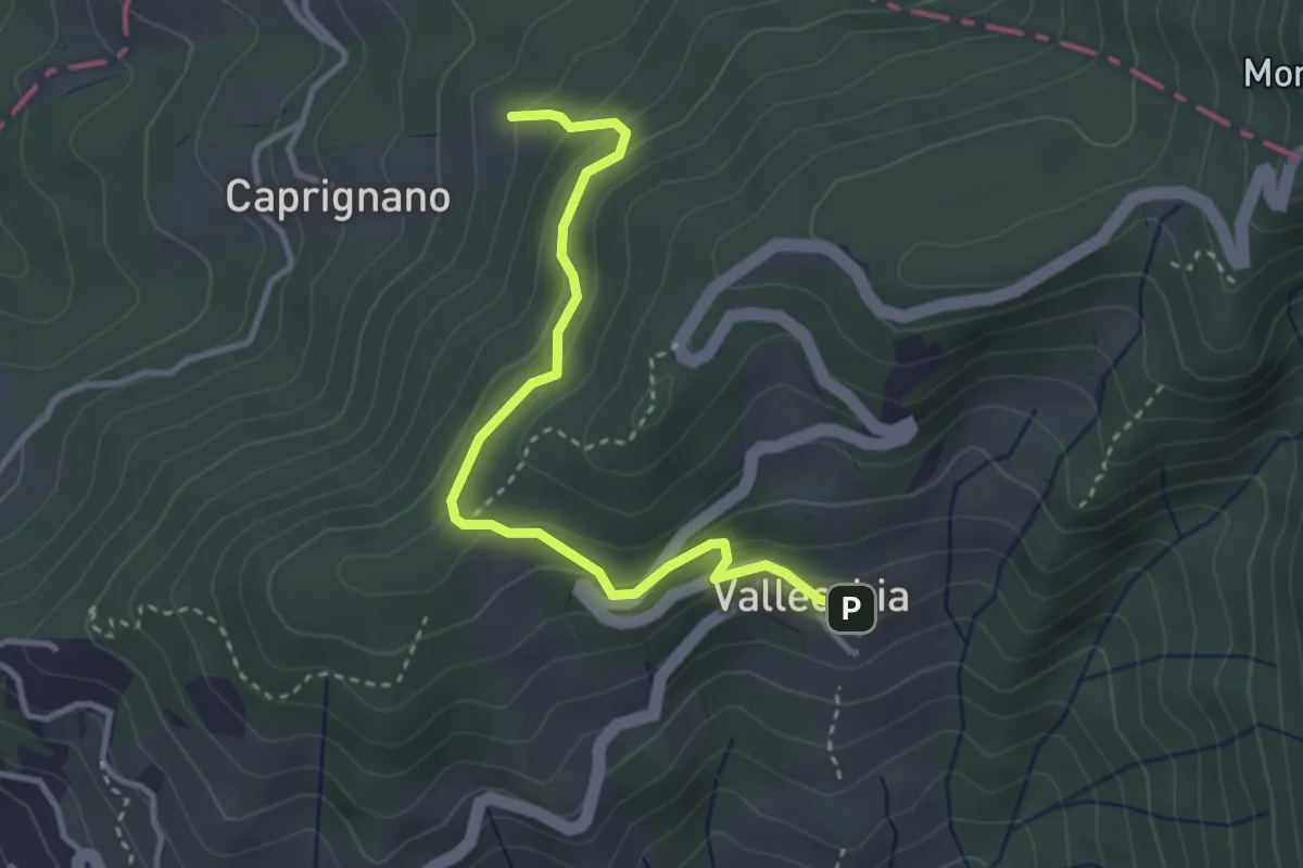
Easy · Trail
Vallecchia – M. Doglio - Il Tofo
3.5 km · ↑ 180 m · 1 h 14 min · 13 km away
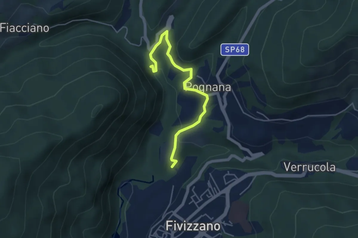
Easy · Trail
Fivizzano – Cascate delle fate
4.1 km · ↑ 131 m · 1 h 16 min · 13 km away
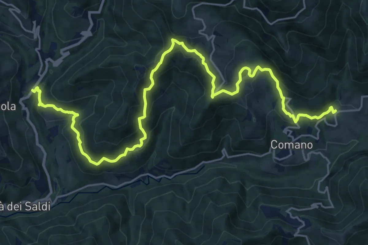
Demanding · Trail
Trekking Lunigiana 8
21.1 km · ↑ 1044 m · 7 h 15 min · 13 km away
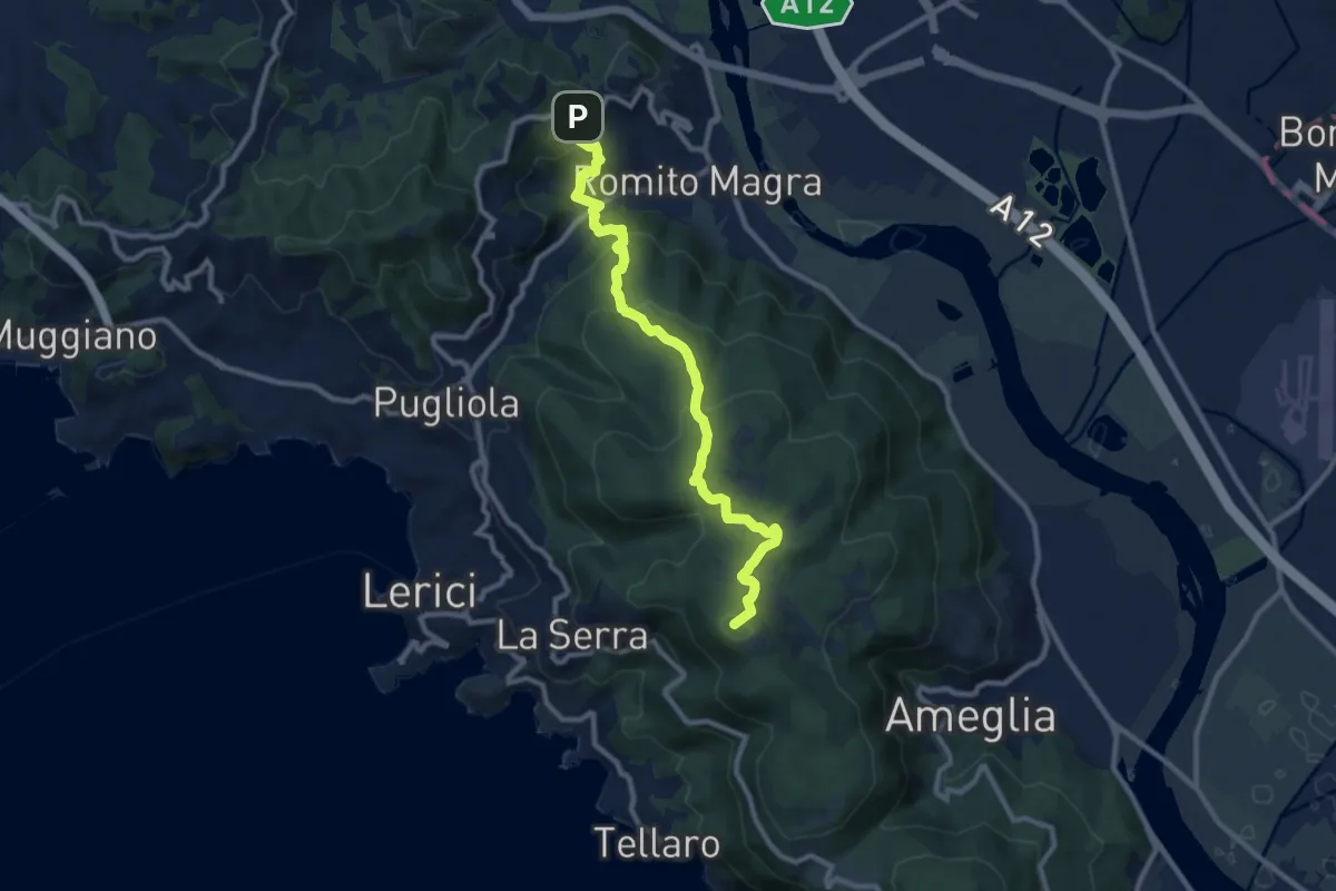
Medium · Summit
Trebiano – Montemarcello
11.1 km · ↑ 590 m · 3 h 54 min · 13 km away
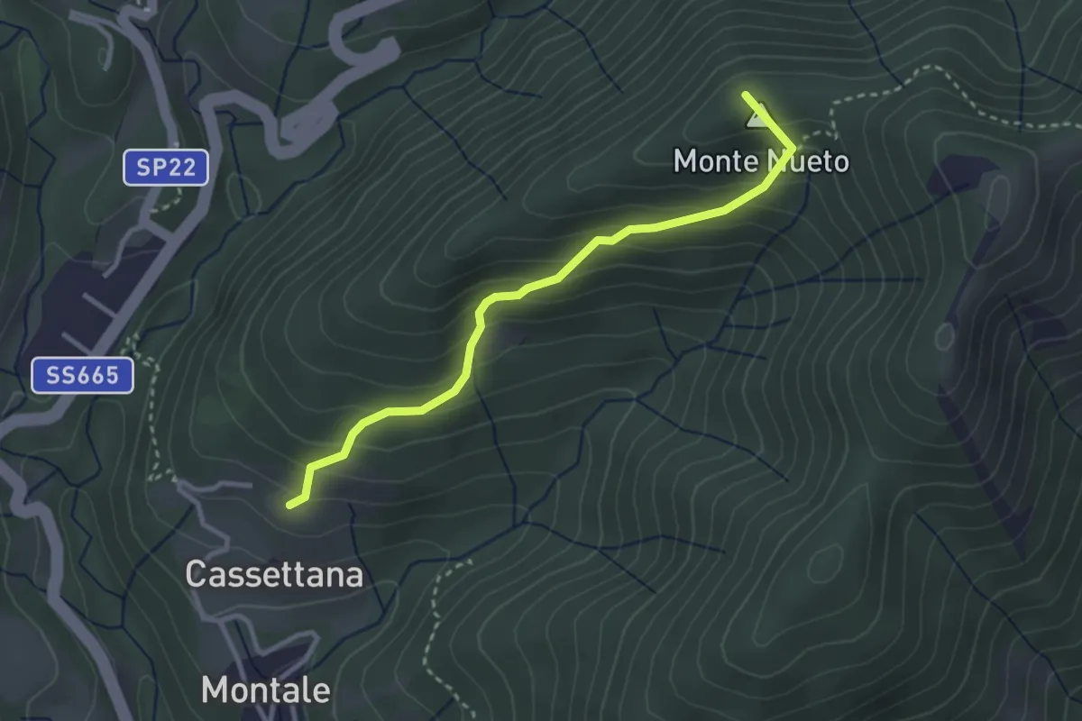
Medium · Summit
Trekking Lunigiana 8 Variante
3.1 km · ↑ 274 m · 1 h 19 min · 13 km away
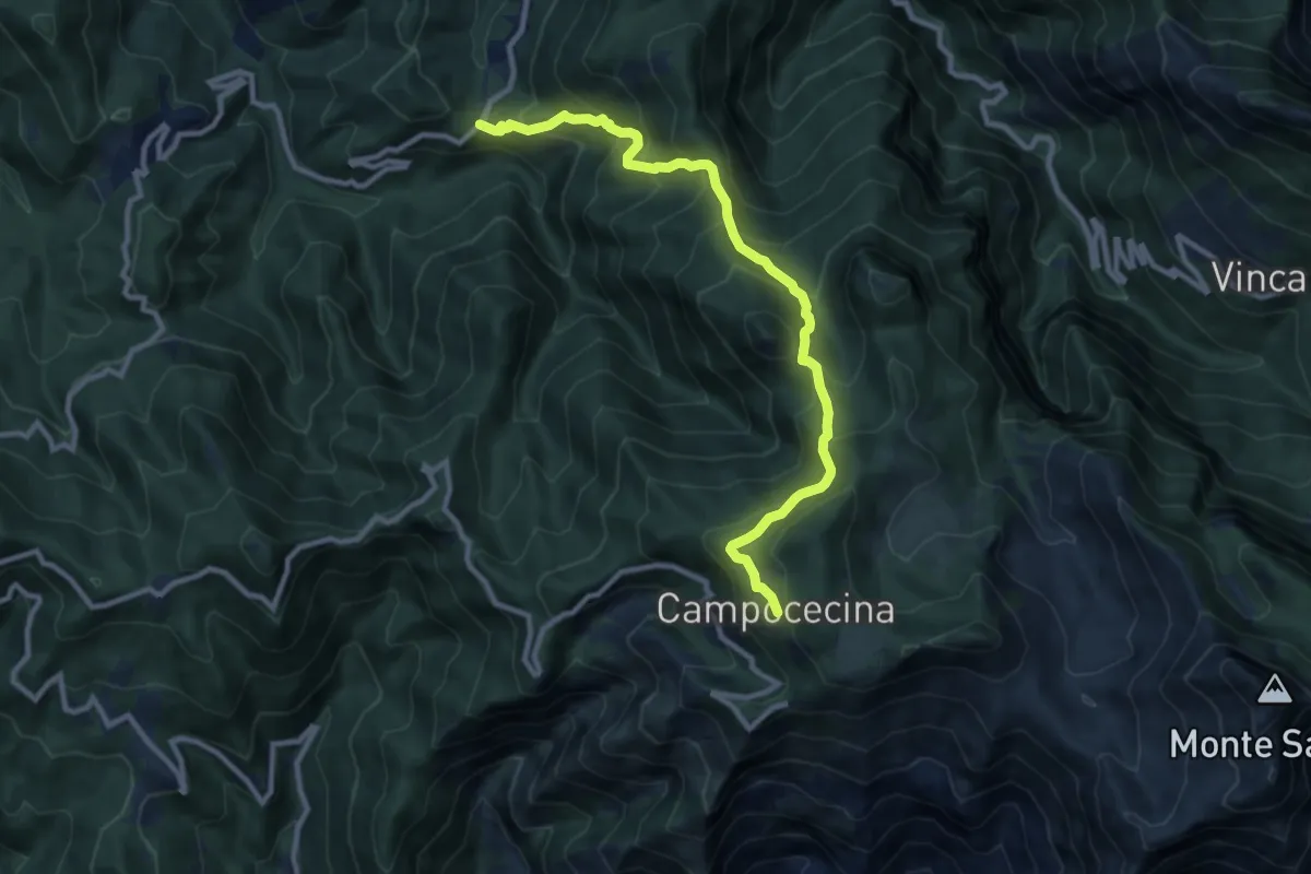
Demanding · Trail
Tenerano – Rifugio Carrara
10.7 km · ↑ 936 m · 4 h 33 min · 13 km away
Demanding · Trail
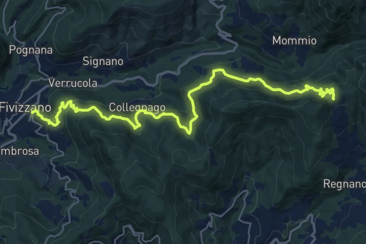
Fivizzano – Passo Cadin
20.3 km · ↑ 1077 m · 7 h 8 min · 13 km away
Easy · Summit
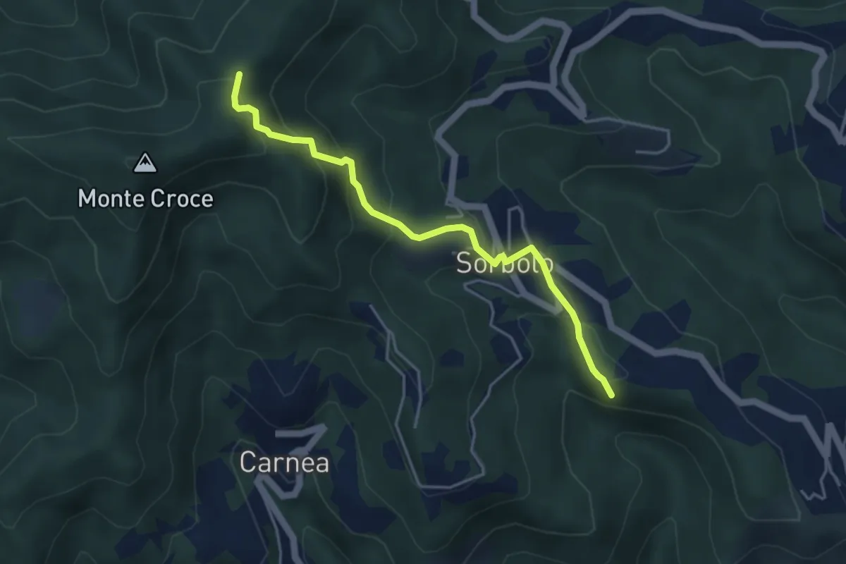
Bastremoli – Sella del Monte Croce
4.2 km · ↑ 298 m · 1 h 38 min · 13 km away
Medium · Trail
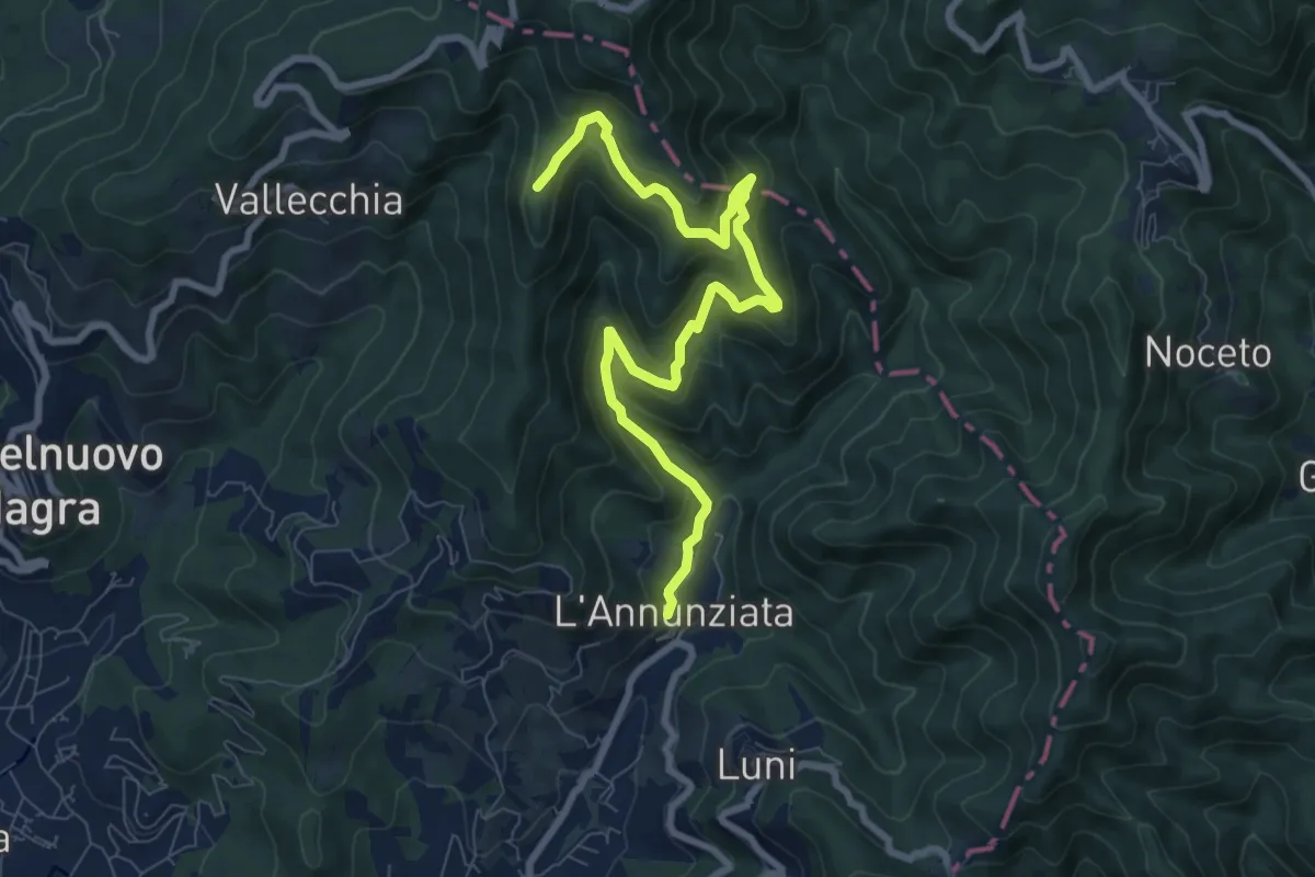
Percorso 364 - Località Annunziata – Percorso 304
9.3 km · ↑ 643 m · 3 h 36 min · 13 km away
Demanding · Summit
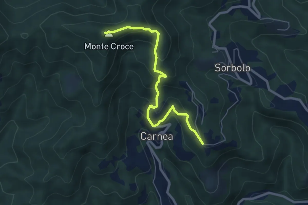
Madonna dell’ Olivo – Carnea - Monte Croce
5.2 km · ↑ 410 m · 2 h 6 min · 13 km away
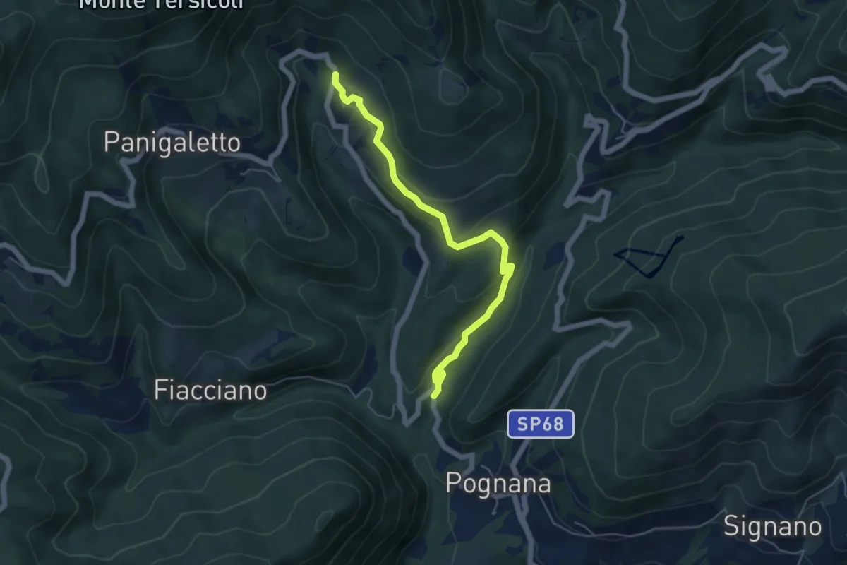
Easy · Trail
Rosara – Cotto
5.4 km · ↑ 222 m · 1 h 45 min · 13 km away
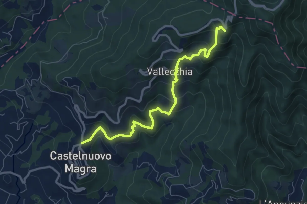
Medium · Trail
Castelnuovo Magra – Case Bertella
7.3 km · ↑ 567 m · 2 h 57 min · 13 km away
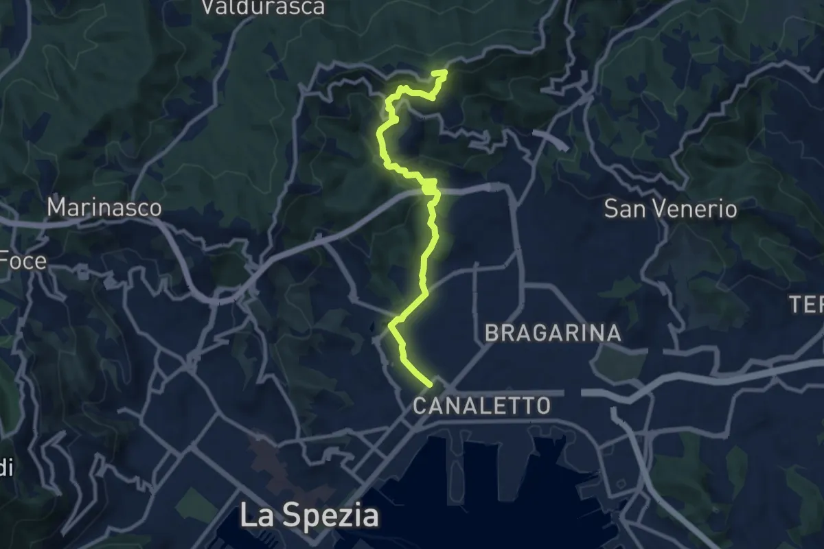
Medium · Trail
Via Veneto – Vailunga – Toracca – Isola – Montalbano
9.6 km · ↑ 452 m · 3 h 14 min · 13 km away
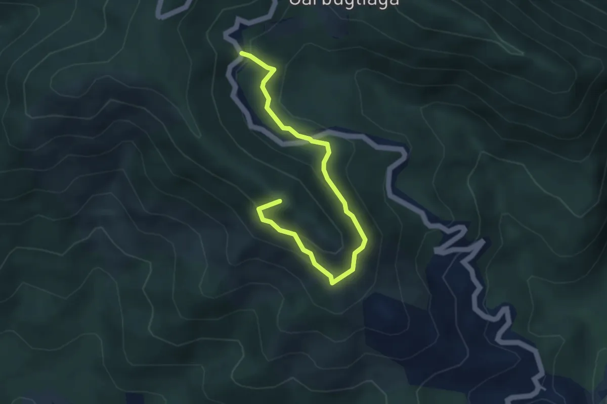
Easy · Summit
Anello Monte Gruzzo
4.1 km · ↑ 250 m · 1 h 31 min · 13 km away