Trails near Aulla
146 hikes starting within 15 km, nearest first.
Nearest first, page 3 of 4
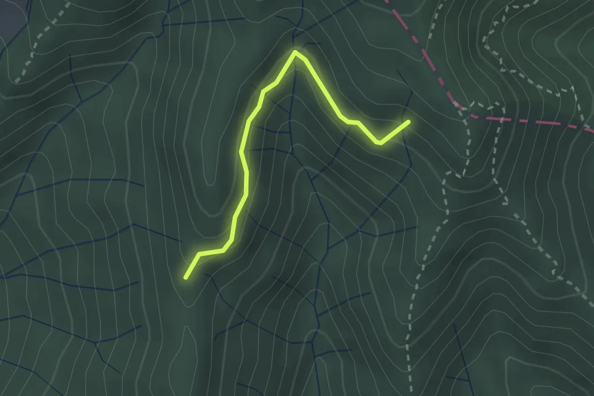
Easy · Trail
Percorso 373 – Percorso 304
2.2 km · ↑ 131 m · 48 min · 13 km away
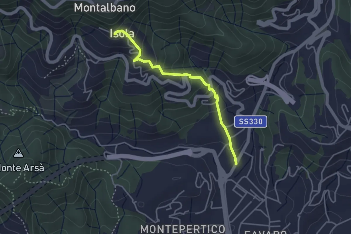
Easy · Trail
Felettino - Isola (Via dei Pilastri)
3.2 km · ↑ 238 m · 1 h 16 min · 13 km away
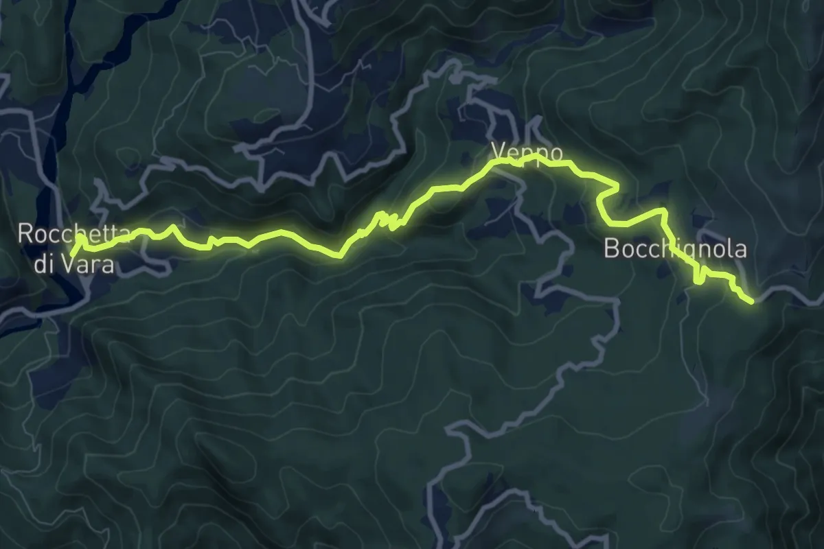
Medium · Trail
Rocchetta - Veppo - Foce Veppo
11.3 km · ↑ 612 m · 3 h 59 min · 13 km away
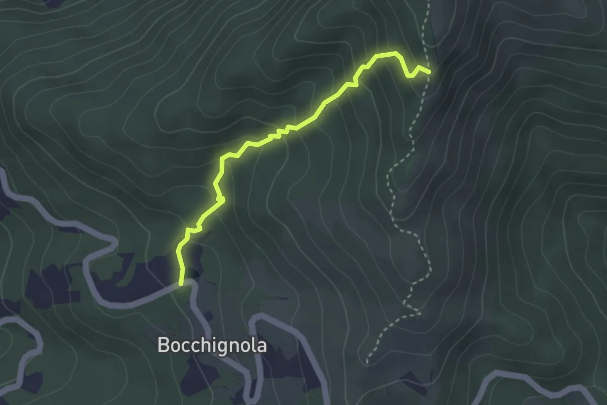
Easy · Trail
Bocchignola - Case Gratine - Innesto 152
3.0 km · ↑ 261 m · 1 h 17 min · 14 km away
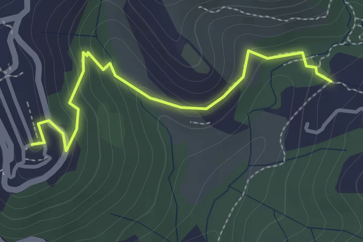
Easy · Trail
Sentiero 301 – Sentiero 302
2.6 km · ↑ 109 m · 50 min · 14 km away
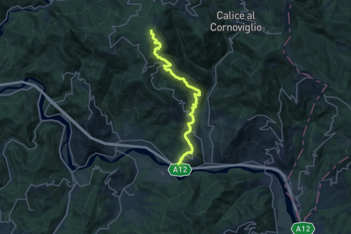
Medium · Trail
San Remigio – Castiglione Vara – Garbugliaga – Forno (Bivio 152)
14.9 km · ↑ 760 m · 5 h 10 min · 14 km away
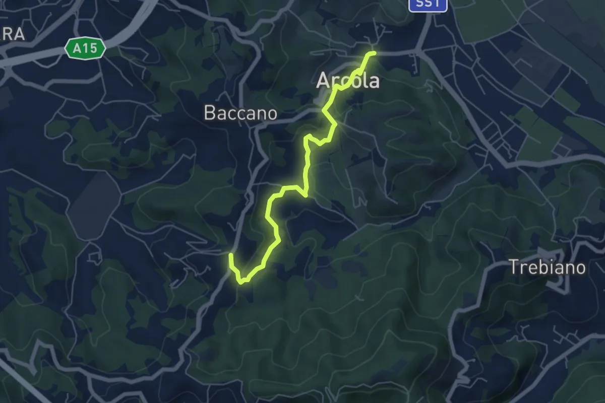
Medium · Trail
Ponte di Arcola – Pietralba
5.5 km · ↑ 234 m · 1 h 48 min · 14 km away
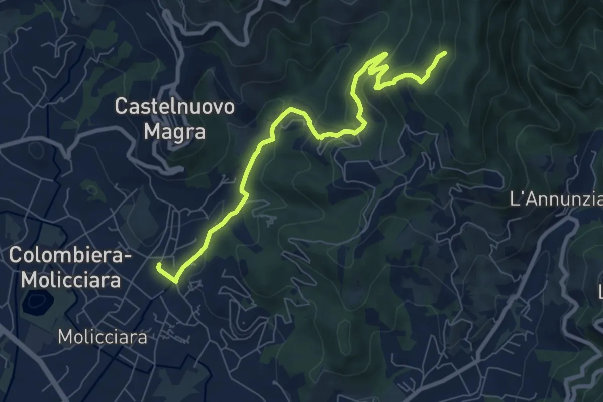
Medium · Trail
Molino del Piano – Vallecchia
7.9 km · ↑ 388 m · 2 h 43 min · 14 km away
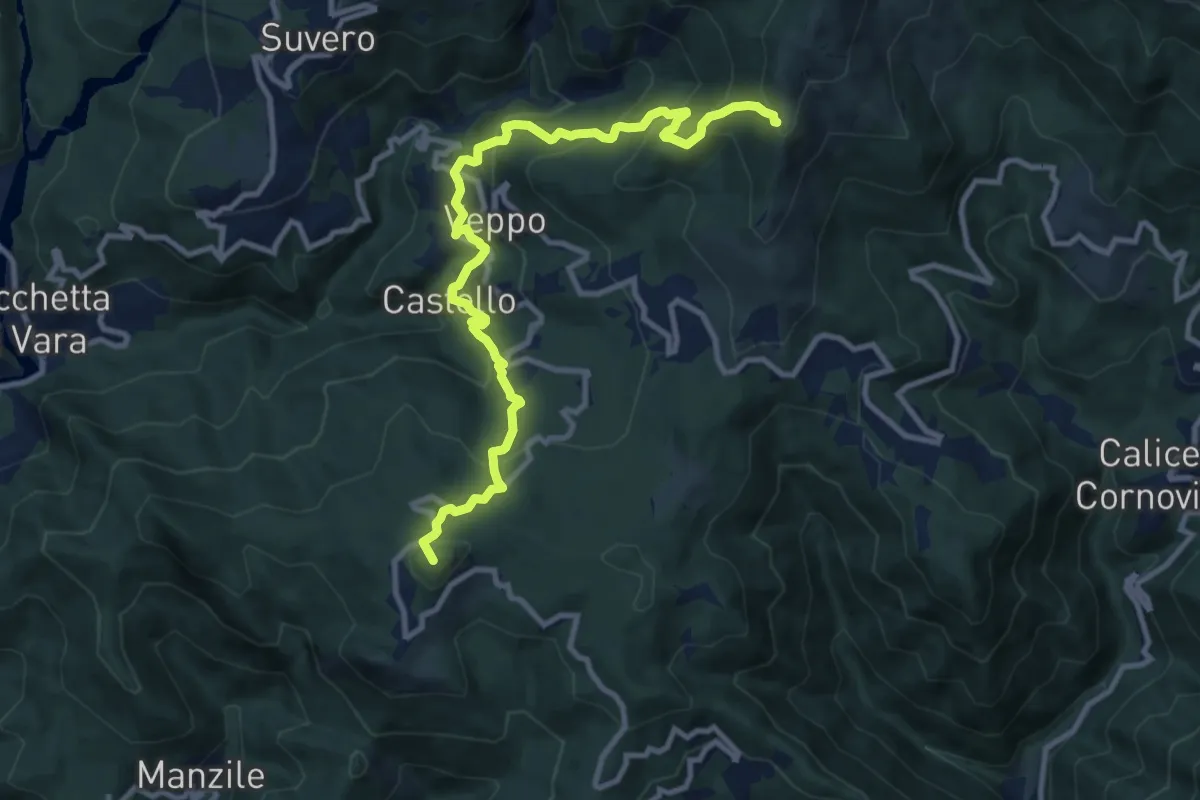
Demanding · Summit
Beverone – Volpara – Castello – Montale – Piazza – Gruzza di Veppo (Bivio 152)
11.7 km · ↑ 901 m · 4 h 43 min · 14 km away
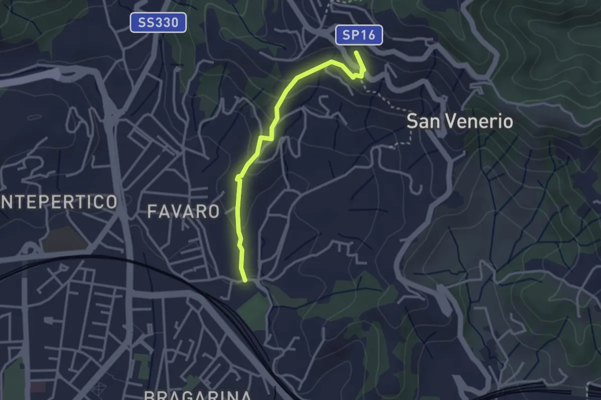
Easy · Trail
La Pieve – Carozzo (via della Lobbia)
2.9 km · ↑ 127 m · 57 min · 14 km away
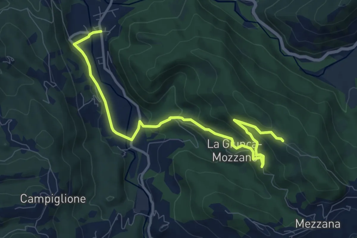
Medium · Trail
Gragnola – Fazzano
10.0 km · ↑ 386 m · 3 h 11 min · 14 km away
Demanding · Summit
Piano di Beverino – Monte Termi dritti
6.2 km · ↑ 449 m · 2 h 26 min · 14 km away
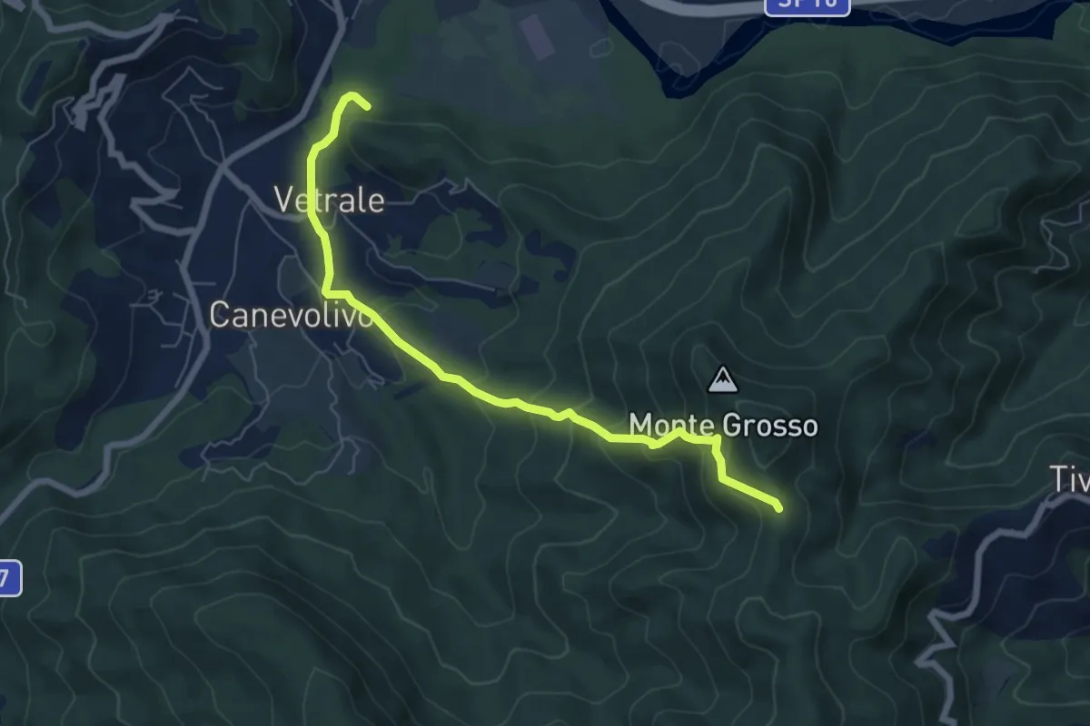
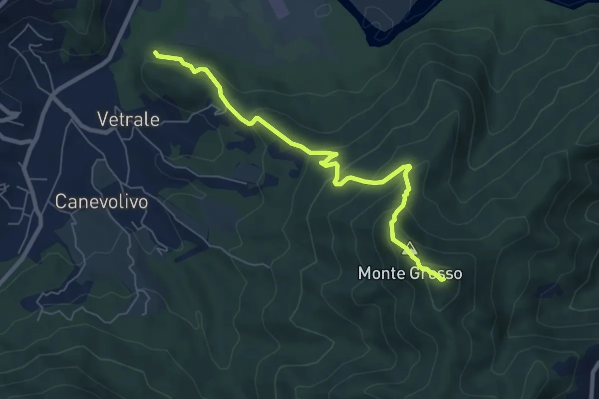
Medium · Trail
Vetrale – Monte Grosso
6.8 km · ↑ 462 m · 2 h 36 min · 14 km away
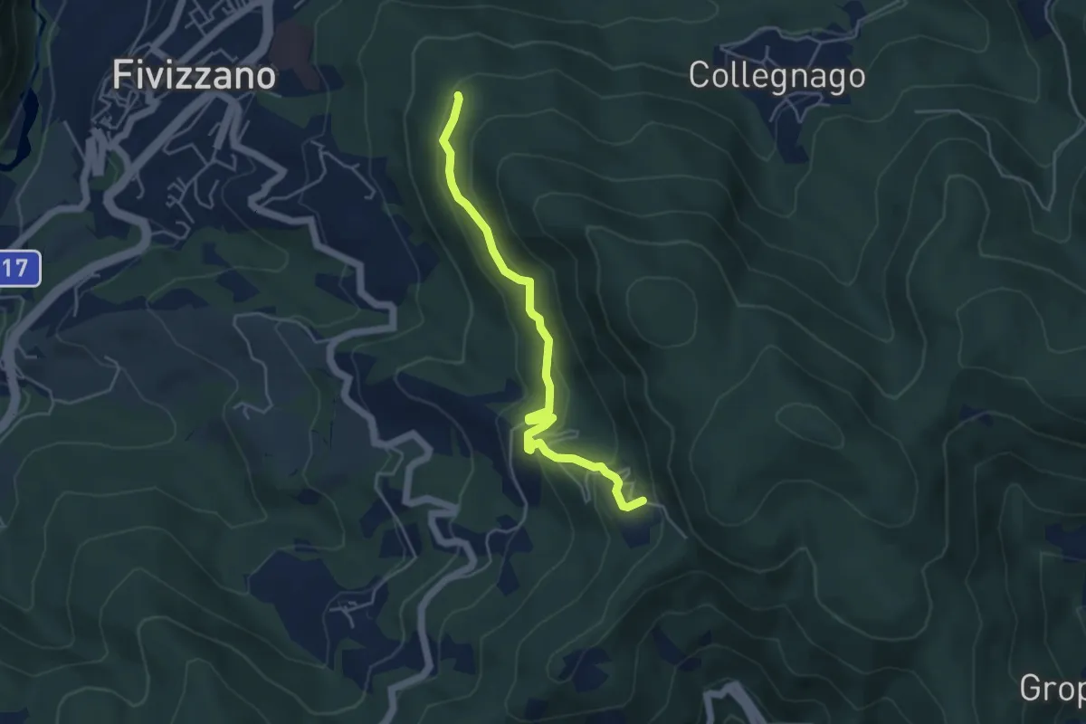
Easy · Trail
Fivizzano – Turlago
4.7 km · ↑ 263 m · 1 h 41 min · 14 km away
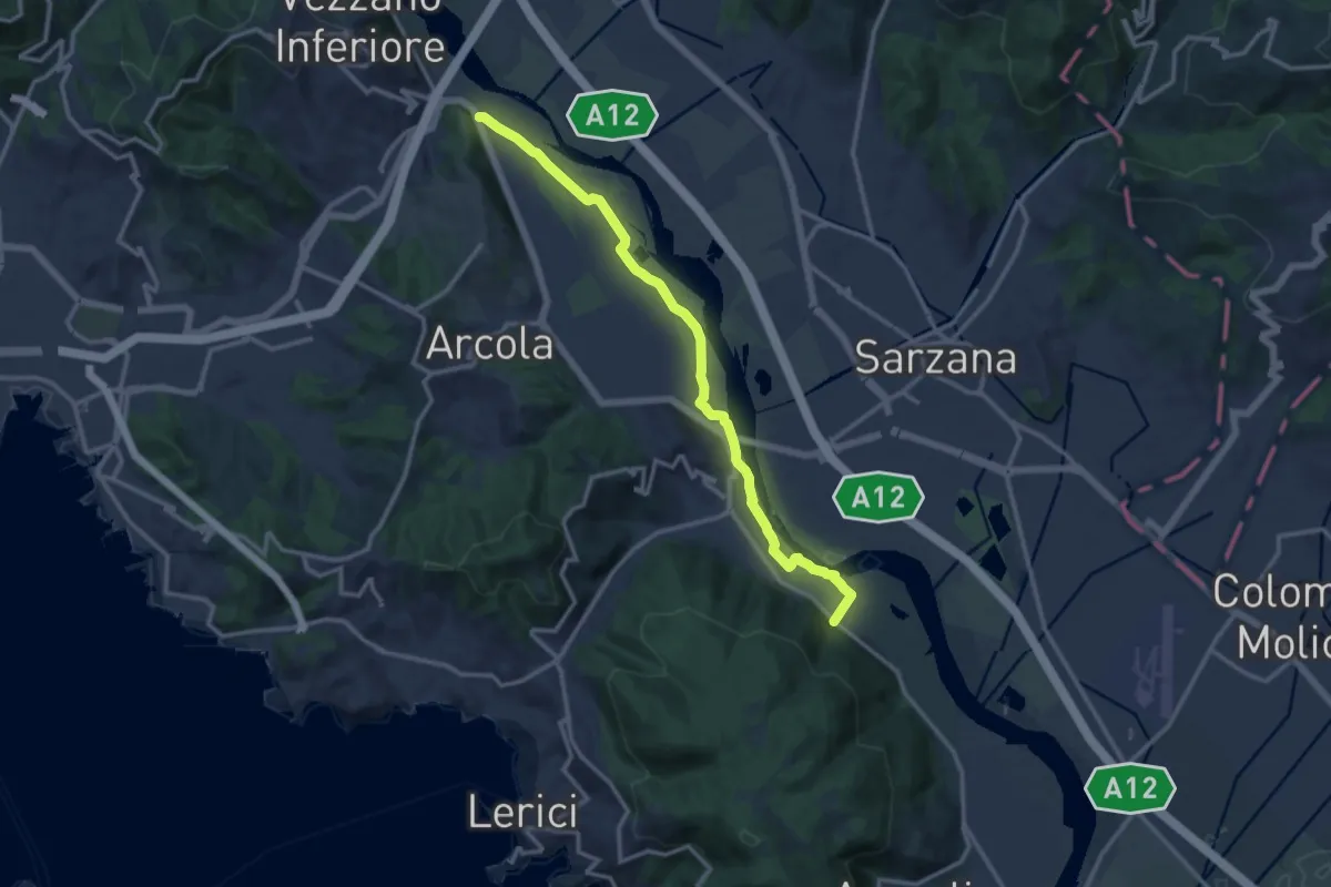
Expert · Trail
Senato – Fornola
13.8 km · ↑ 54 m · 3 h 23 min · 14 km away
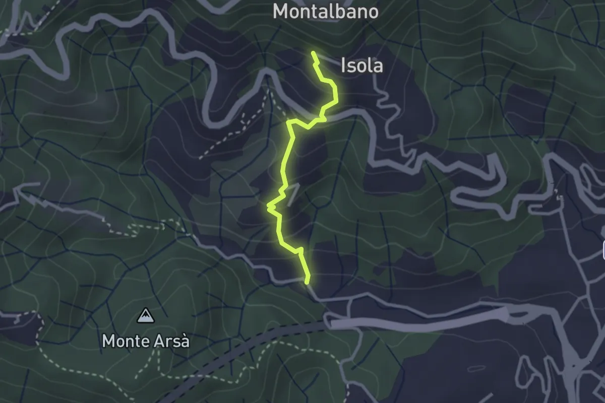
Easy · Trail
Felettino - Montalbano (Scalinata del Forno)
2.2 km · ↑ 220 m · 1 h · 14 km away
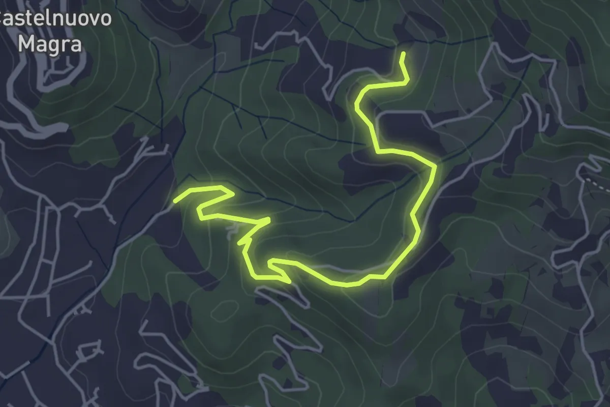
Easy · Trail
Bivio Molino Dogliotti - Marciano
5.4 km · ↑ 211 m · 1 h 44 min · 14 km away
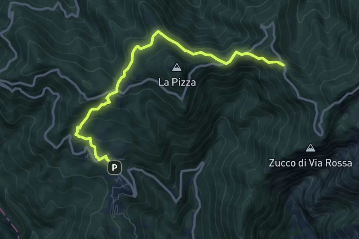
Medium · Trail
Castelpoggio – Gabellaccia
8.4 km · ↑ 454 m · 2 h 58 min · 14 km away
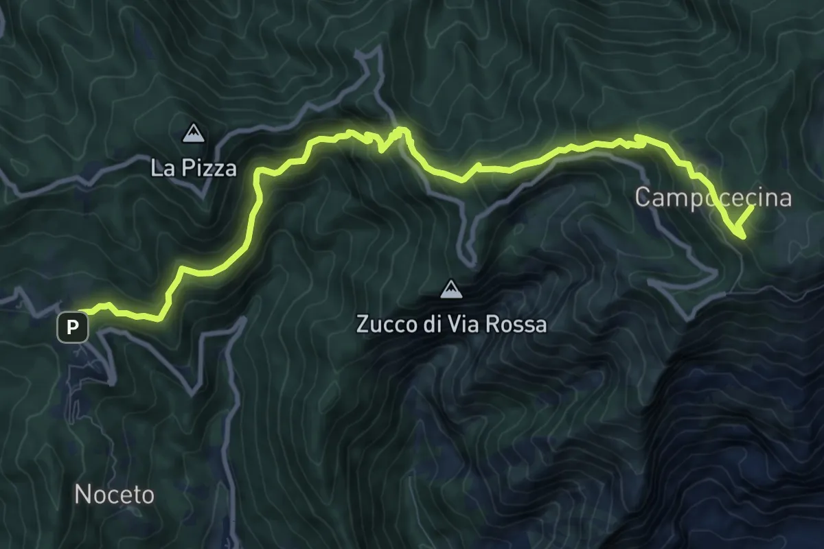
Demanding · Summit
Castelpoggio – Rifugio Carrara
12.1 km · ↑ 946 m · 4 h 55 min · 14 km away
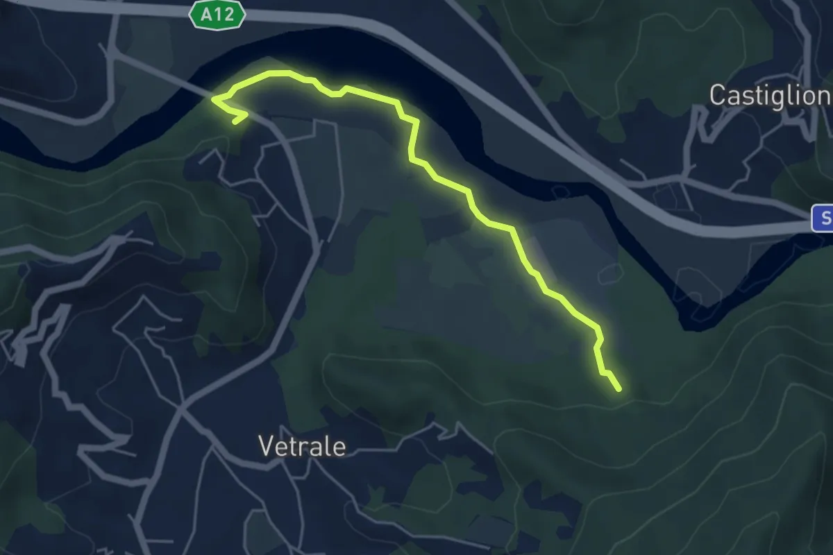
Medium · Trail
Il Palazzo – Cortica Vecchia
4.9 km · ↑ 38 m · 1 h 14 min · 14 km away
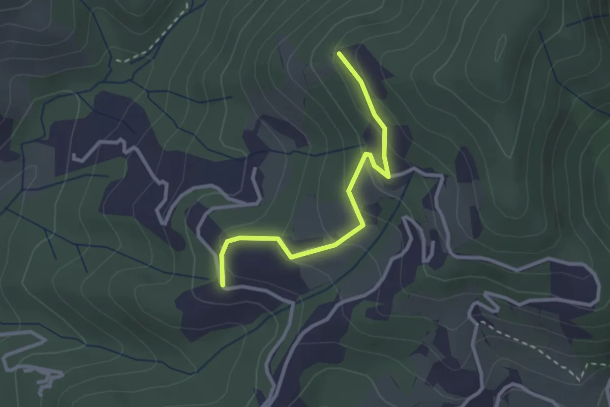
Easy · Trail
Santa Rosa (Percorso 308) – Orbagnano di Sopra
2.5 km · ↑ 130 m · 52 min · 14 km away
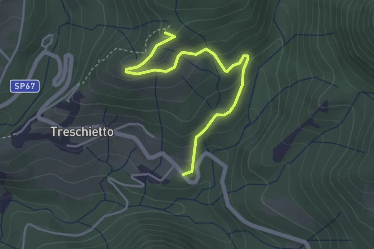
Easy · Summit
Treschietto – Percorso 118
3.5 km · ↑ 166 m · 1 h 11 min · 14 km away
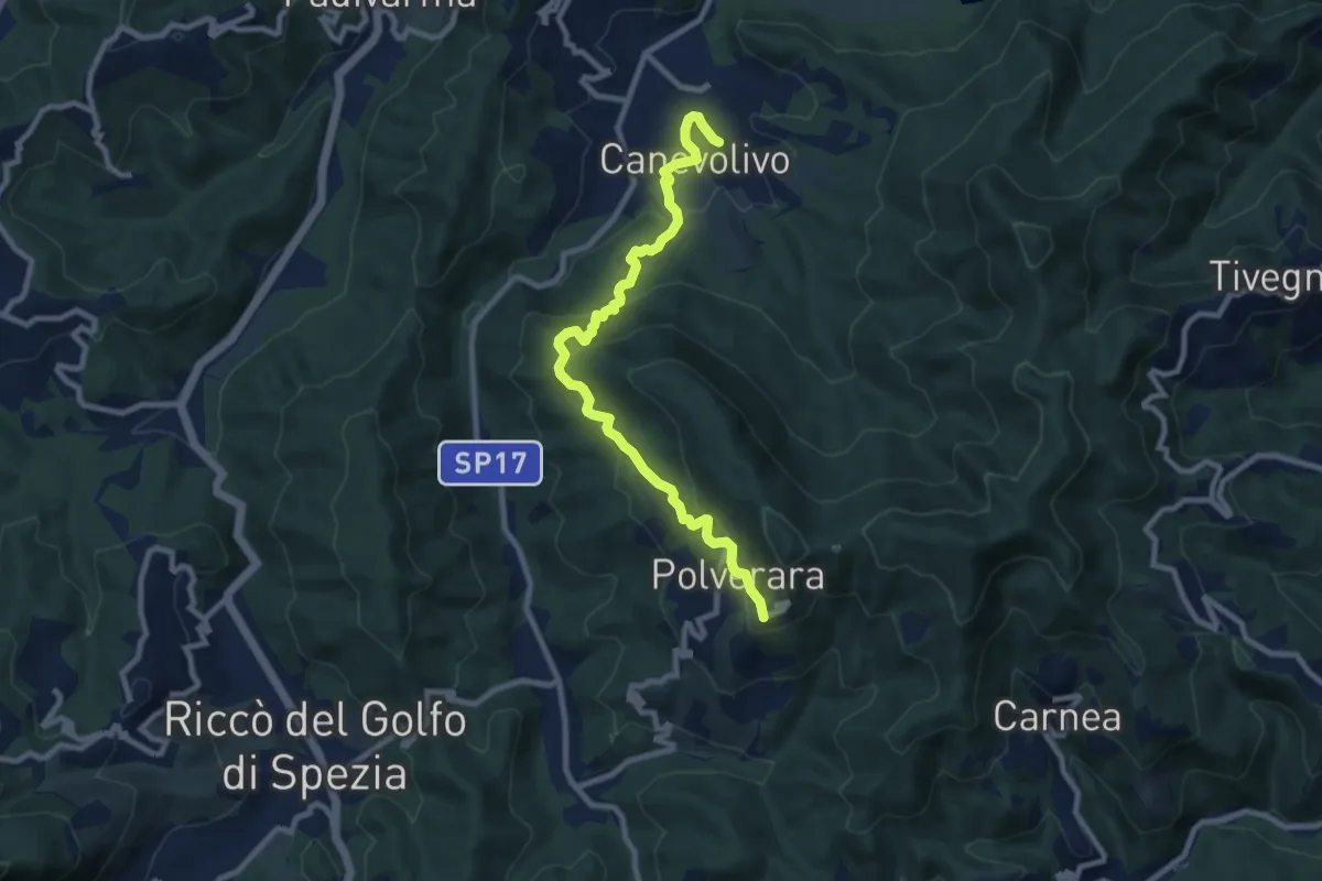
Medium · Trail
Cane Volivo – Scortica – Polverara
9.7 km · ↑ 520 m · 3 h 25 min · 14 km away
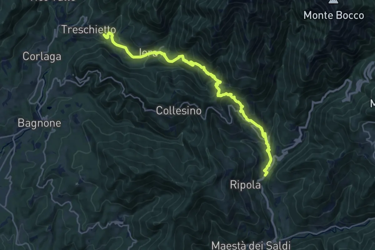
Demanding · Trail
Trekking Lunigiana 7
18.4 km · ↑ 1102 m · 6 h 44 min · 14 km away
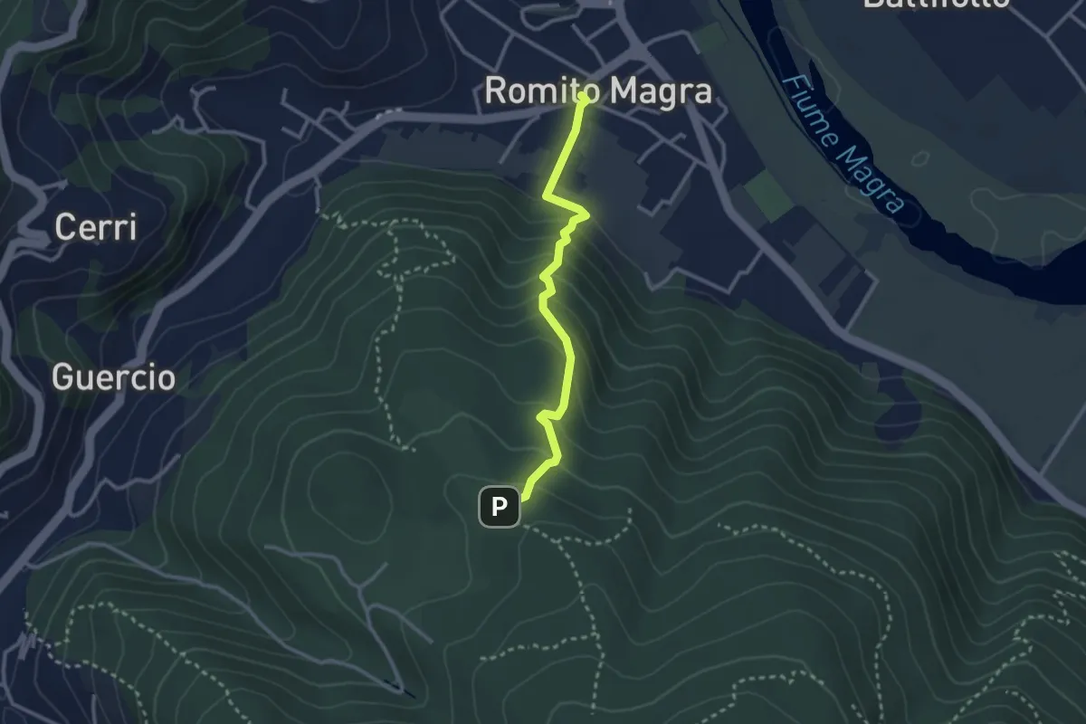
Easy · Trail
Romito Magra – S. Lorenzo
2.7 km · ↑ 214 m · 1 h 7 min · 14 km away
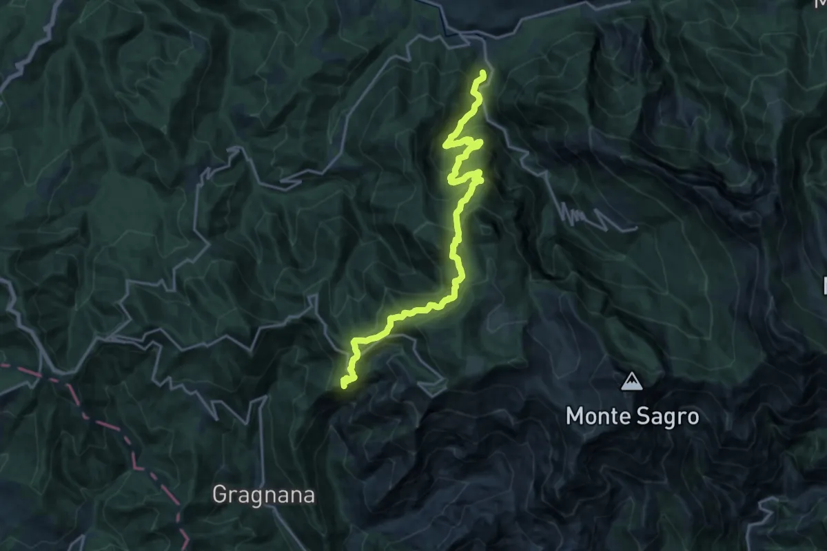
Demanding · Summit
Torano – Monzone
18.3 km · ↑ 1504 m · 7 h 34 min · 14 km away
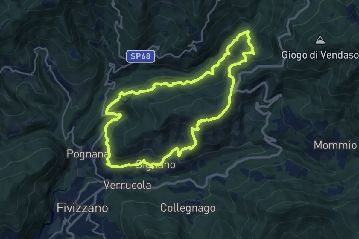
Medium · Trail
Sentiero Coli
12.1 km · ↑ 789 m · 4 h 44 min · 14 km away
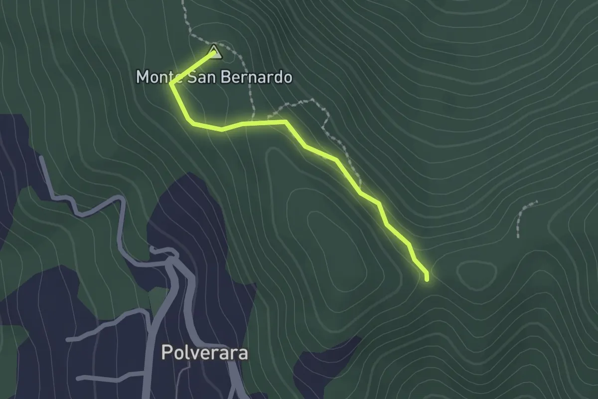
Medium · Summit
Costa di S.Bernardo – Sella del M. Grosso
1.8 km · ↑ 66 m · 33 min · 14 km away
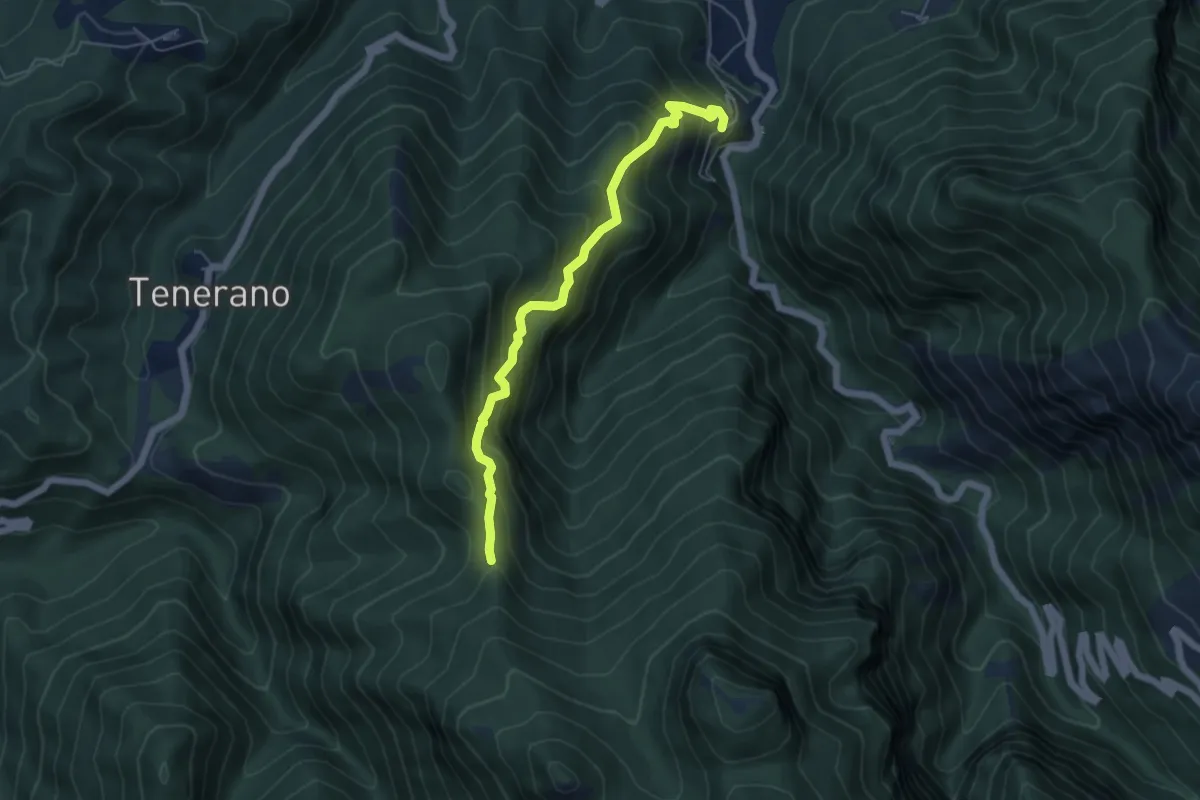
Medium · Trail
Monzone Alto – Foce Sant'Antonio
5.5 km · ↑ 635 m · 2 h 40 min · 14 km away
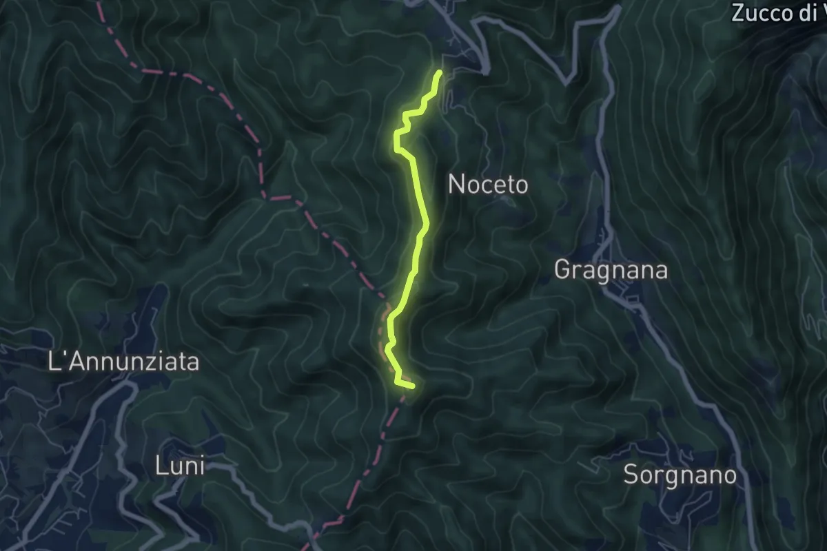
Easy · Summit
Ortonovo – Castelpoggio
4.5 km · ↑ 206 m · 1 h 30 min · 14 km away
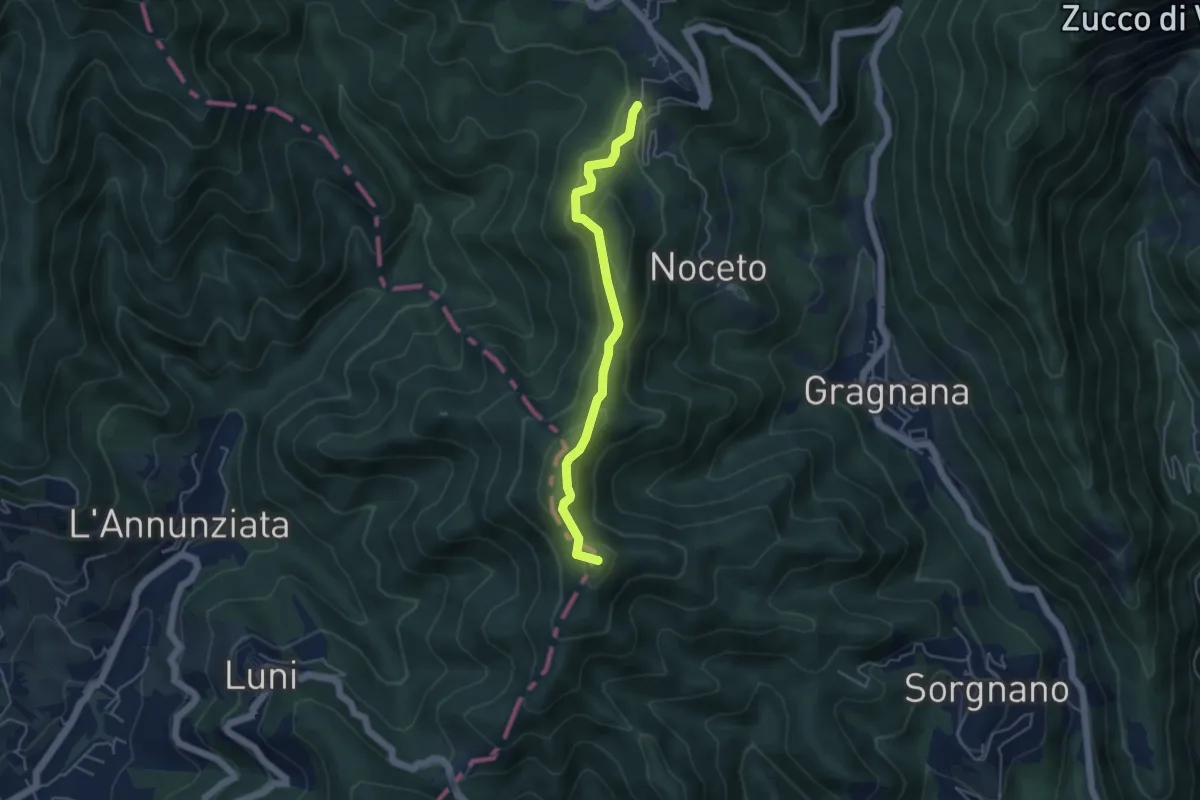
Easy · Summit
Cammino di Aronte - Tappa 2
4.5 km · ↑ 206 m · 1 h 30 min · 14 km away
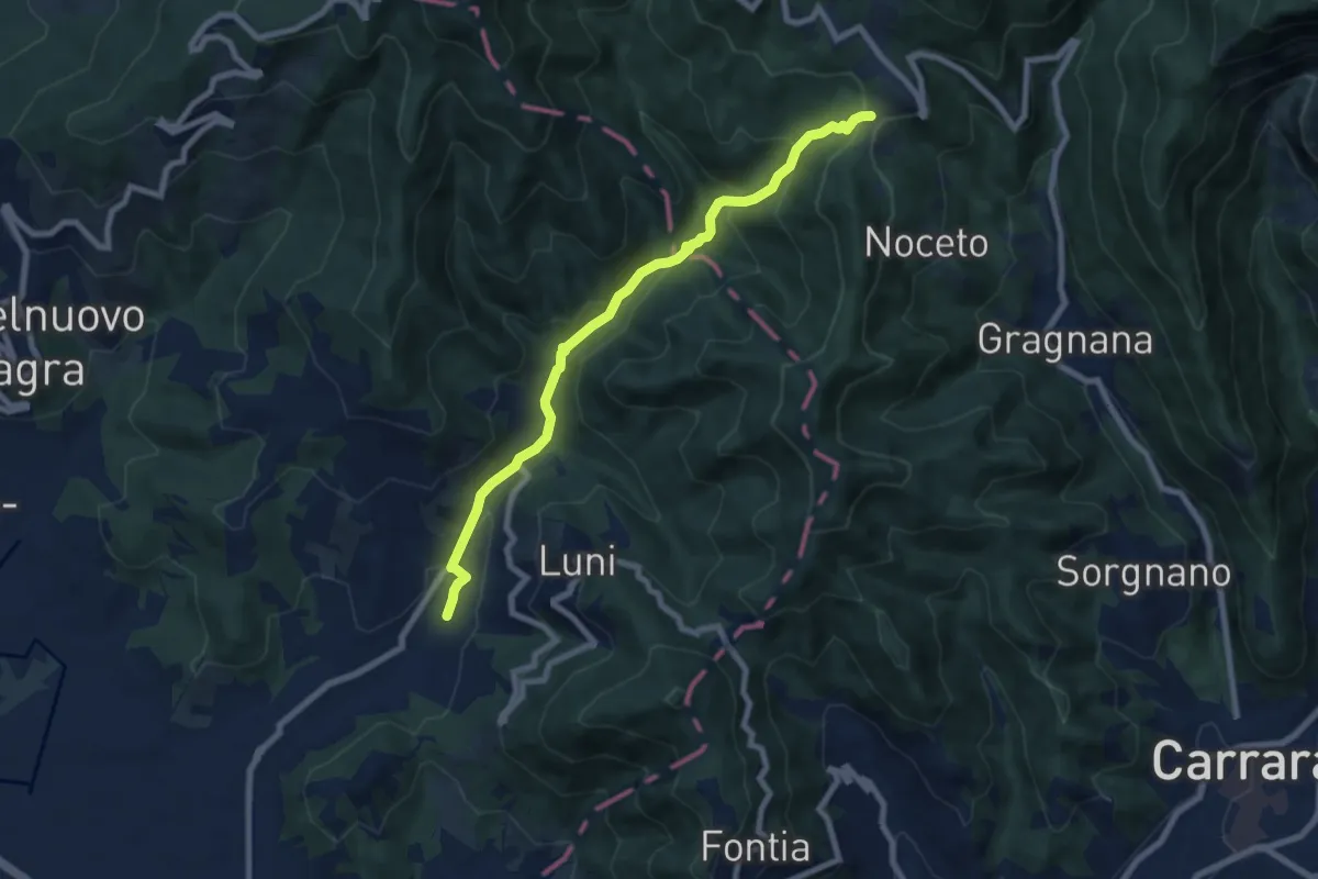
Medium · Trail
Casano – Castelpoggio
7.9 km · ↑ 432 m · 2 h 49 min · 14 km away
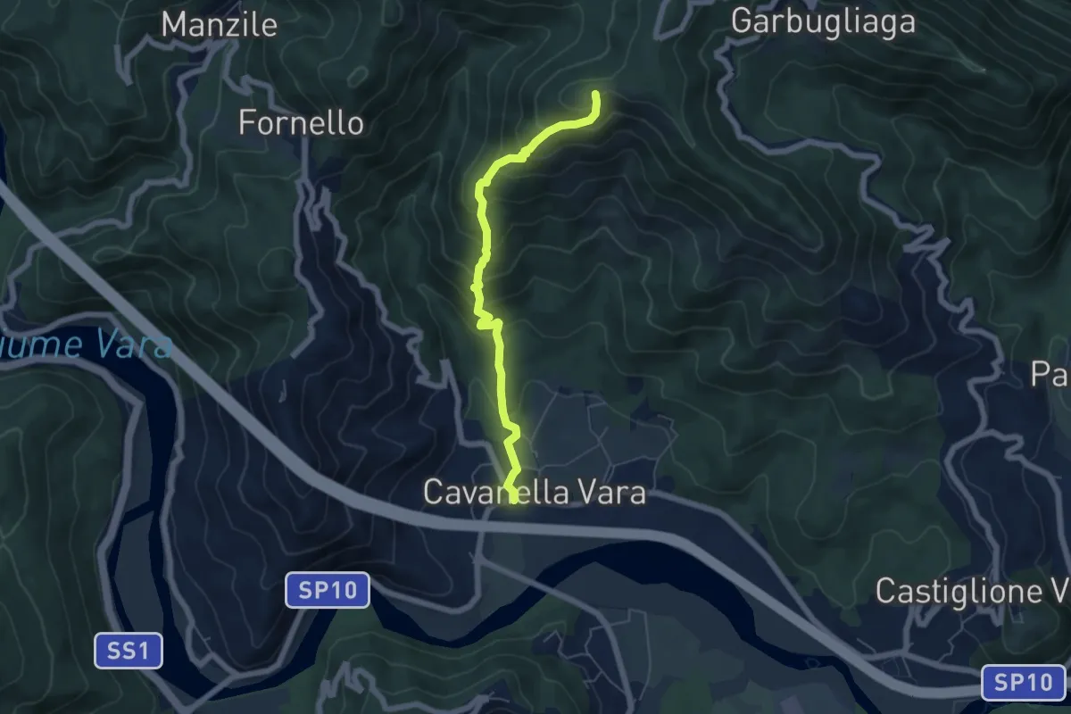
Medium · Summit
Cavanella – Bric Arvota – (Bivio 159)
5.5 km · ↑ 485 m · 2 h 21 min · 14 km away
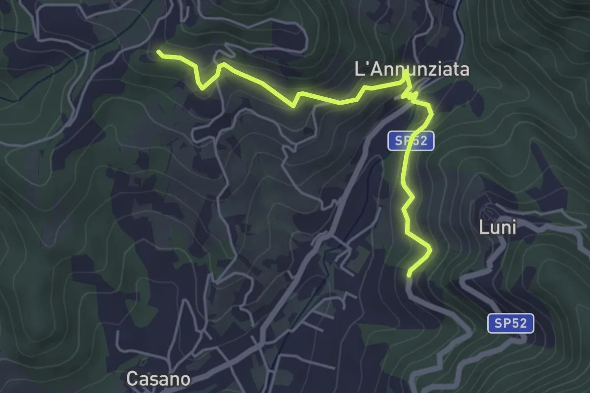
Easy · Trail
Santa Maria – Noceto
4.7 km · ↑ 307 m · 1 h 46 min · 14 km away
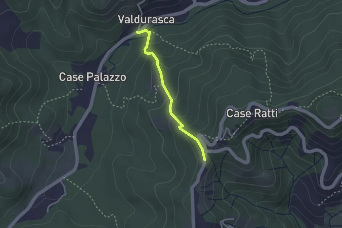
Easy · Trail
Durasca – Campasso – Serrolungo – innesto AVG
2.2 km · ↑ 128 m · 48 min · 14 km away
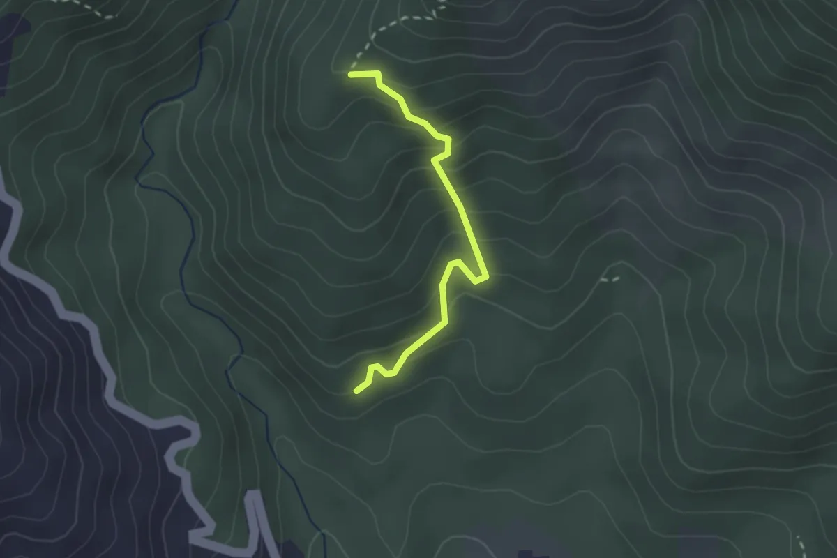
Easy · Trail
Cavanella – Case Bodri – (Variante 156)
2.2 km · ↑ 259 m · 1 h 5 min · 15 km away
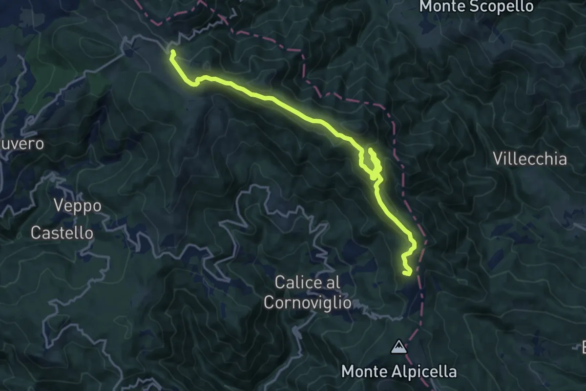
Medium · Summit
Passo dei Casoni - Passo Alpicella
15.1 km · ↑ 532 m · 4 h 43 min · 15 km away
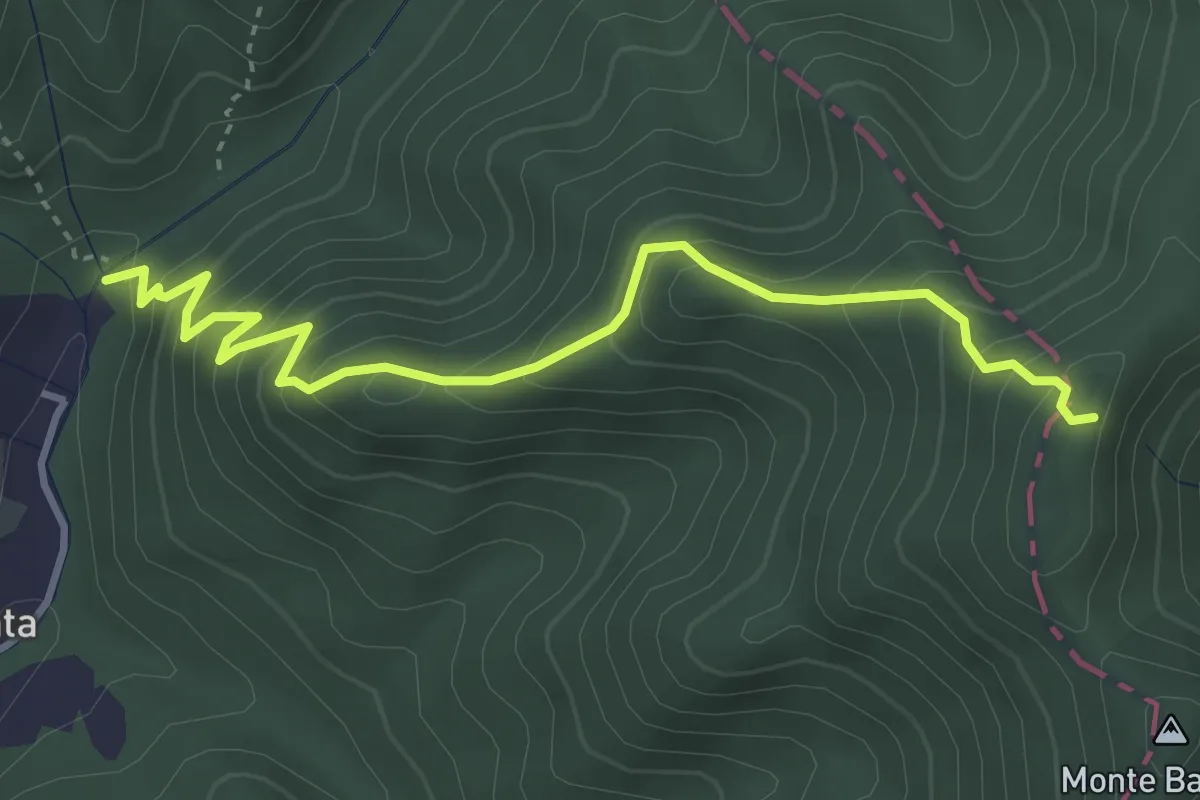
Medium · Trail
Molino del Lucco – Volpiglione
4.1 km · ↑ 419 m · 1 h 53 min · 15 km away
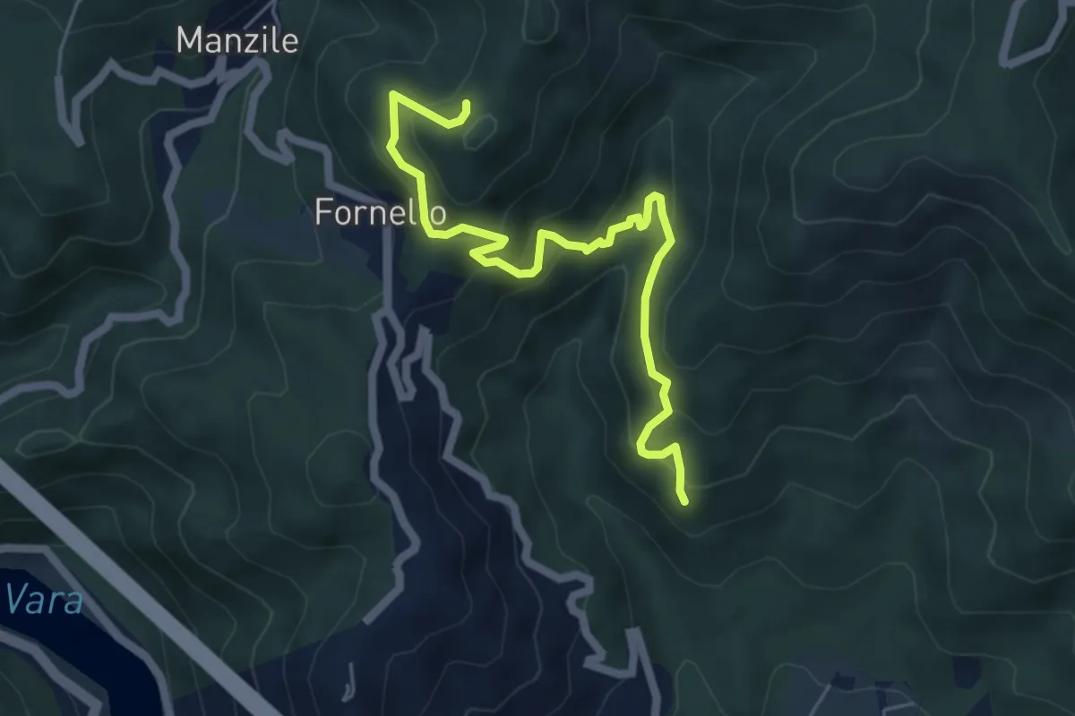
Medium · Trail
Cavanella – Case Bodri – (Bivio 152)
5.9 km · ↑ 564 m · 2 h 36 min · 15 km away
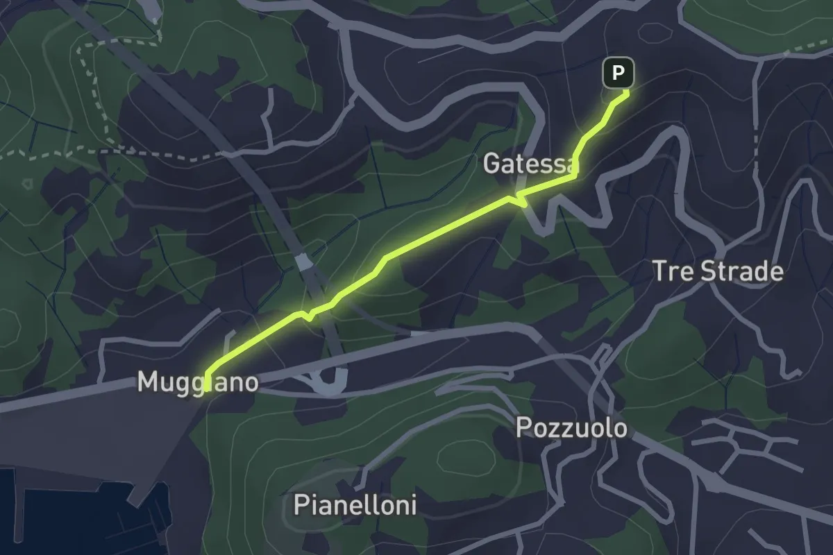
Easy · Trail
Muggiano – Percorso 450
2.4 km · ↑ 143 m · 52 min · 15 km away
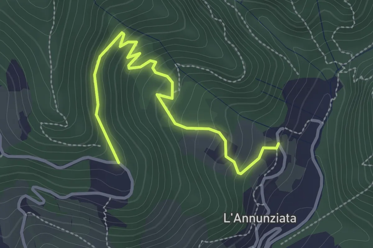
Easy · Trail
Percorso 373 – Percorso 304
3.2 km · ↑ 217 m · 1 h 14 min · 15 km away
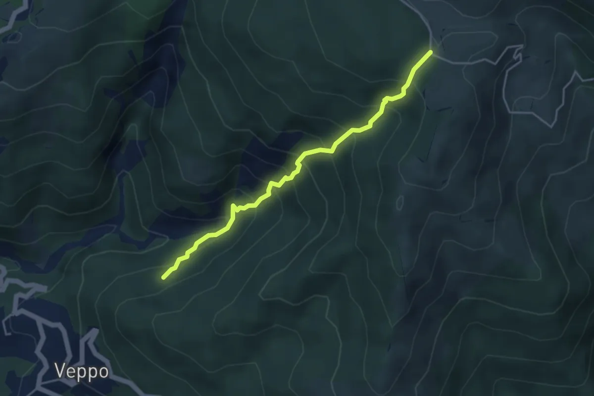
Medium · Trail
Innesto 153 - Fosso Della Gruzza - Gruzza di Veppo
4.0 km · ↑ 467 m · 1 h 58 min · 15 km away
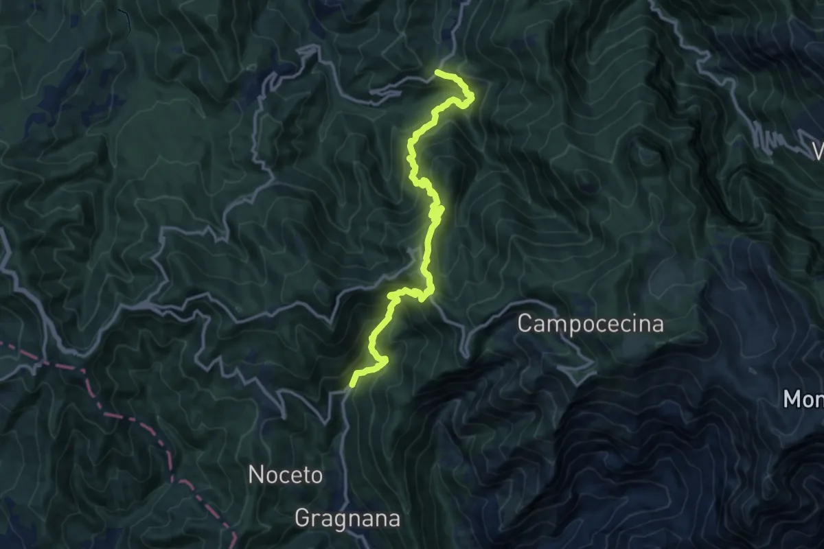
Demanding · Trail
Ponte Storto – Maestà della Villa
13.5 km · ↑ 1285 m · 5 h 58 min · 15 km away
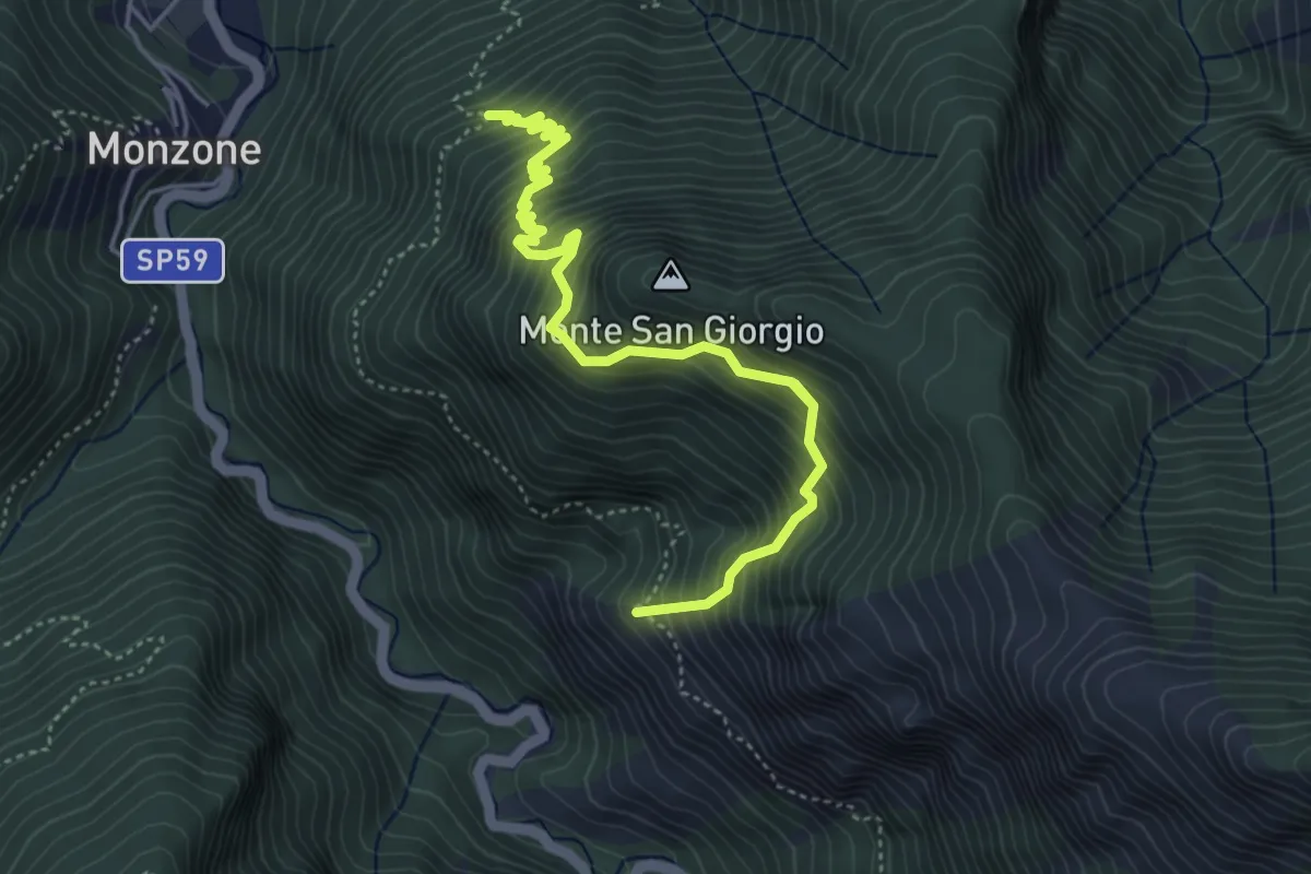
Demanding · Trail
Percorso 139 (Castellaccio) – Percorso 139
6.5 km · ↑ 1009 m · 3 h 44 min · 15 km away
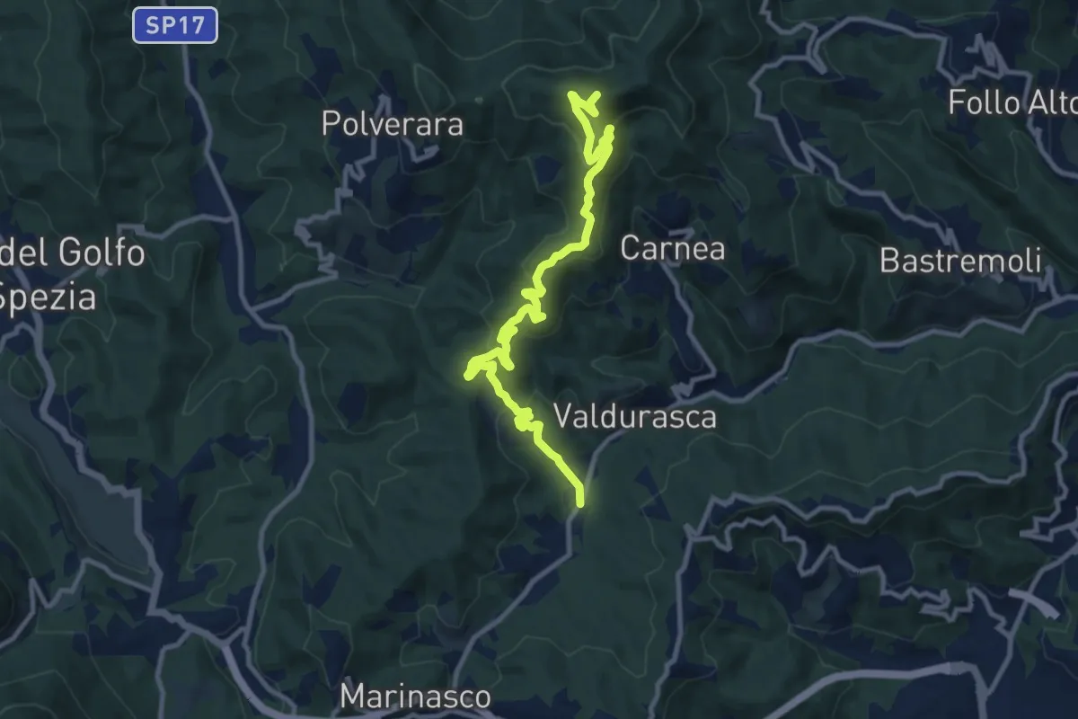
Medium · Summit
Case Palazzo – Passo di Ri – La Gretta – Monte Croce
11.8 km · ↑ 620 m · 4 h 8 min · 15 km away
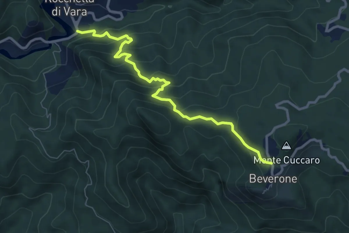
Medium · Trail
Rocchetta - Monte Nero - Beverone
7.2 km · ↑ 479 m · 2 h 44 min · 15 km away
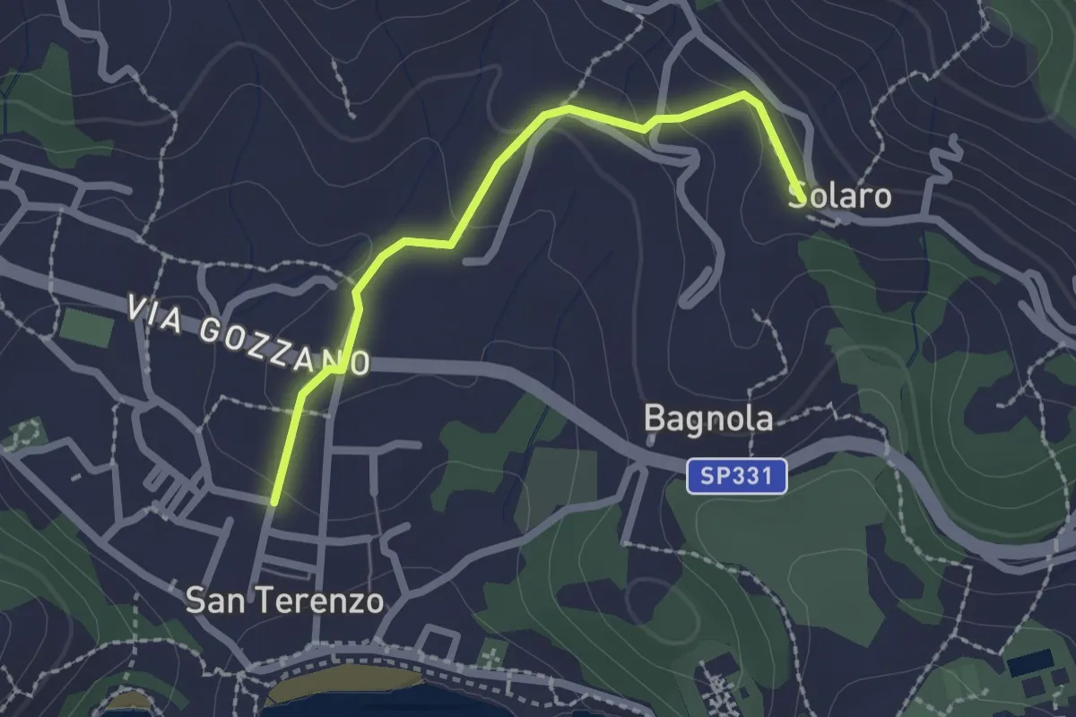
Medium · Trail
San Terenzo – Solaro
2.0 km · ↑ 77 m · 38 min · 15 km away
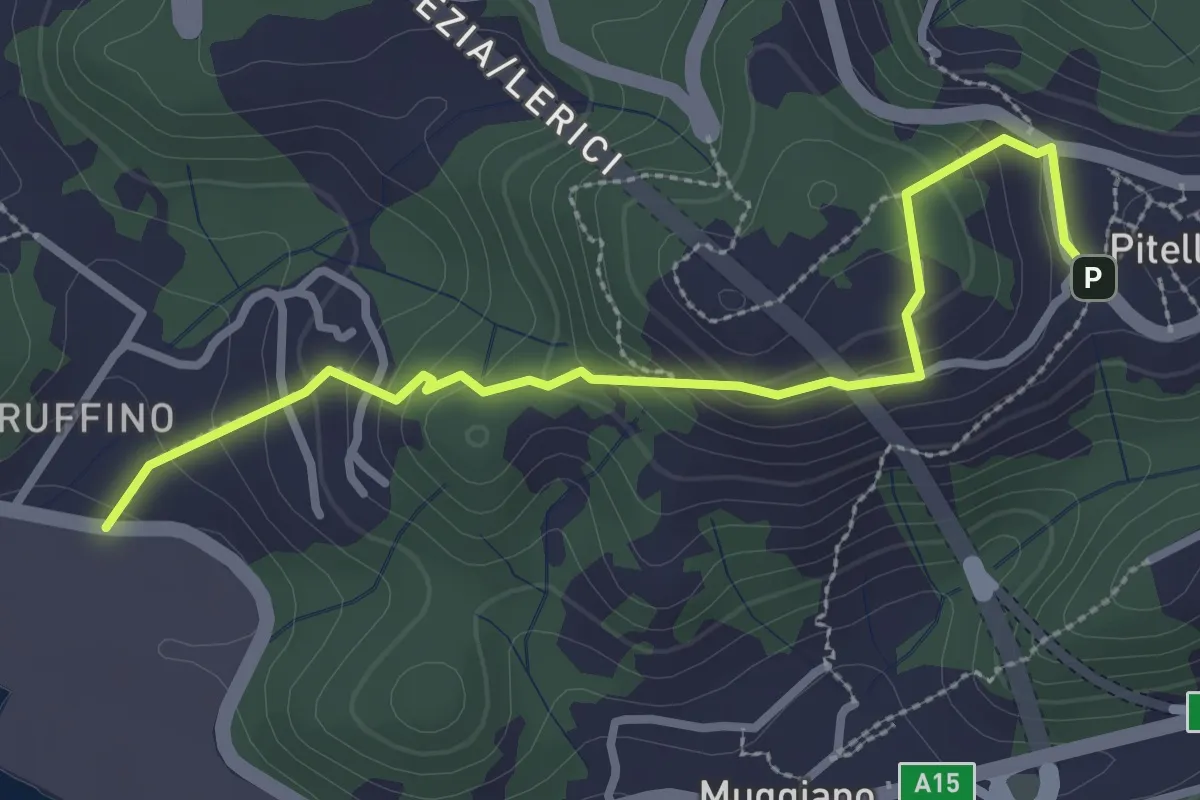
Easy · Trail
Ruffino – Pitelli
3.2 km · ↑ 224 m · 1 h 14 min · 15 km away