Trails near Avigliana
181 hikes starting within 15 km, nearest first.
Nearest first, page 1 of 4
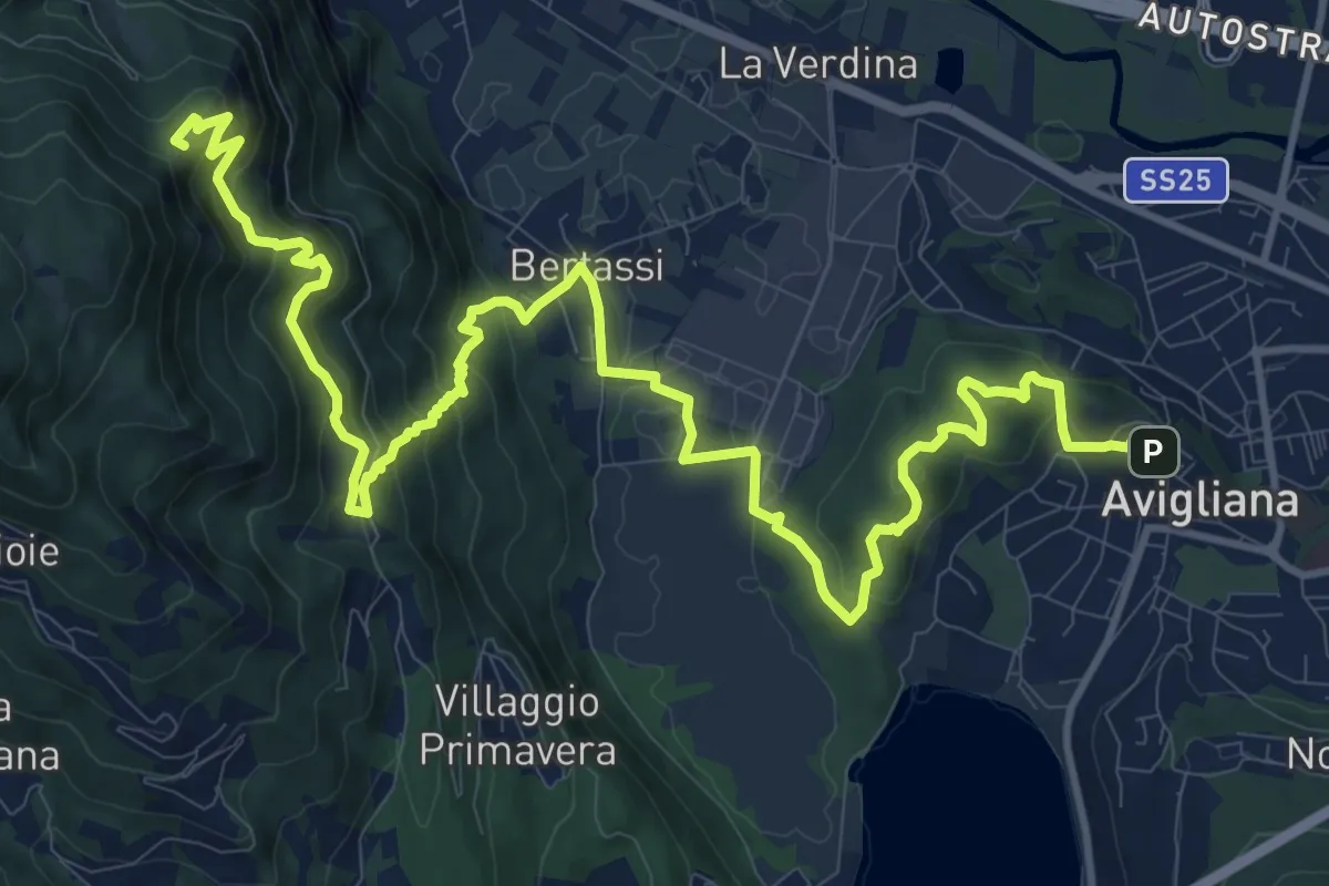
Demanding · Summit
Avigliana, Piazza del Popolo – Colle di Croce Nera presso Sacra di San Michele
17.7 km · ↑ 953 m · 6 h 14 min · under 1 km away
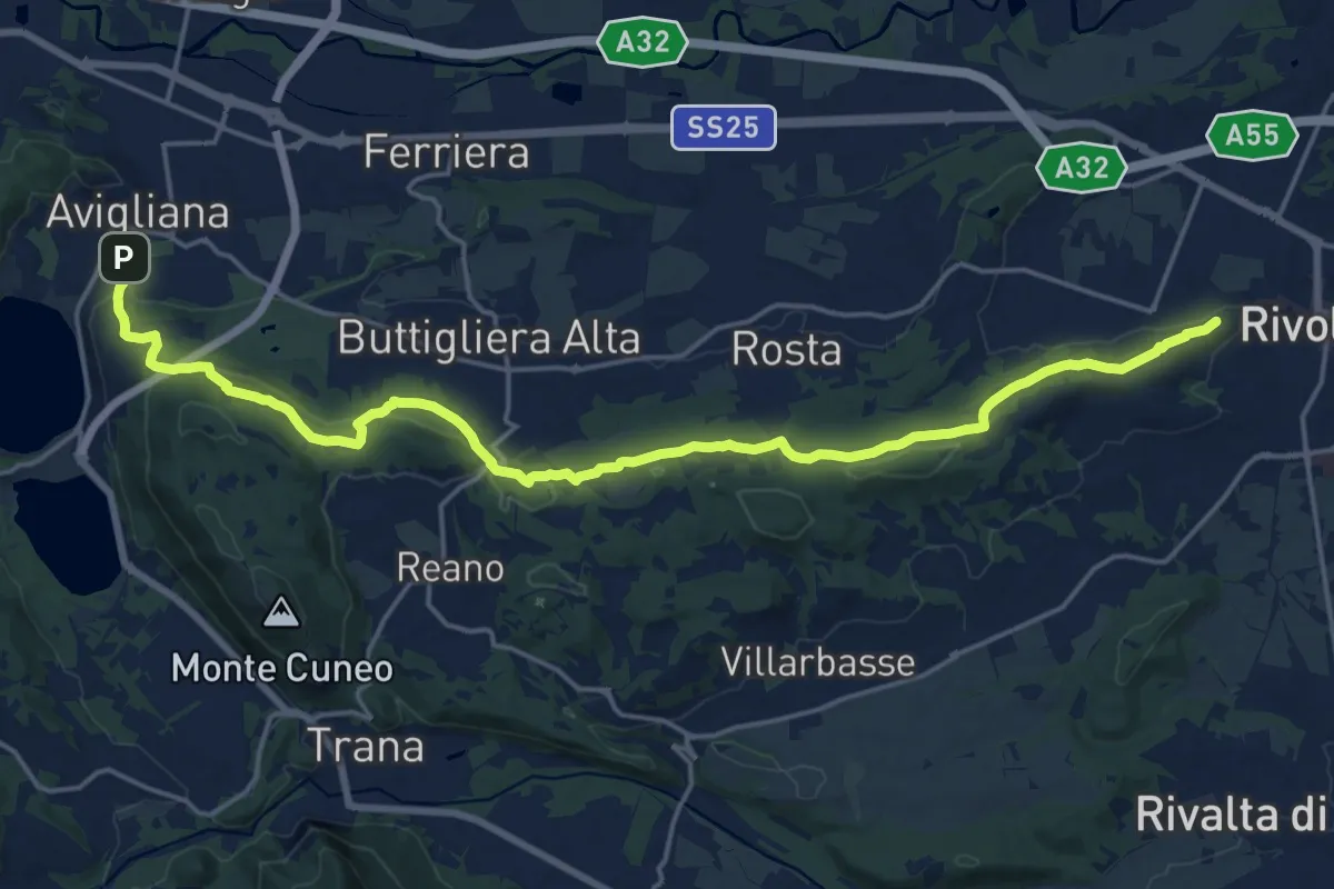
Demanding · Trail
Rivoli – Avigliana, case San Pietro
22.6 km · ↑ 475 m · 6 h 22 min · under 1 km away
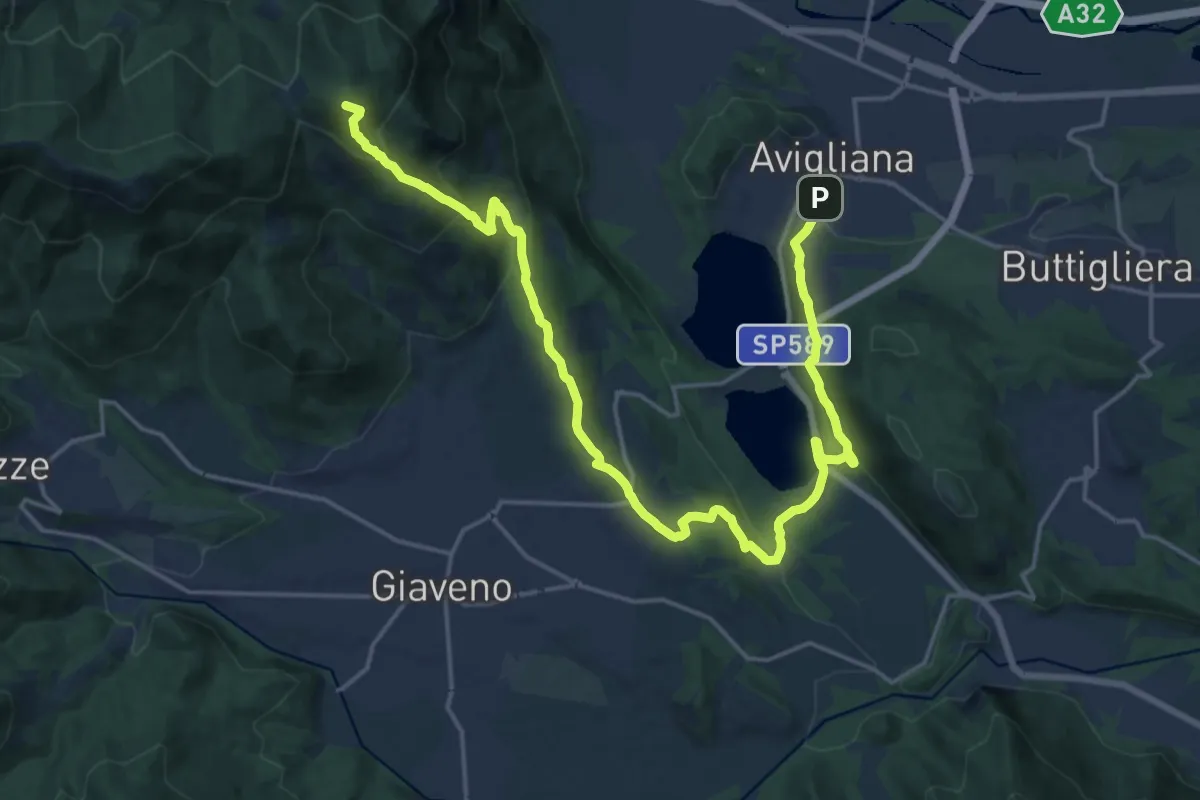
Demanding · Summit
Avigliana, Case San Pietro – Colle Braida, bivio TOS435-TOS503A
24.7 km · ↑ 1015 m · 8 h 2 min · under 1 km away
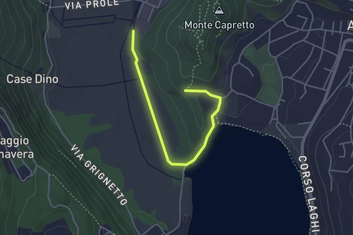
Easy · Trail
Avigliana, Pilone di San Michele, bivio TOS501-TOS501B – Bivio TOS501-TOS501B
3.7 km · ↑ 56 m · 1 h · 1 km away
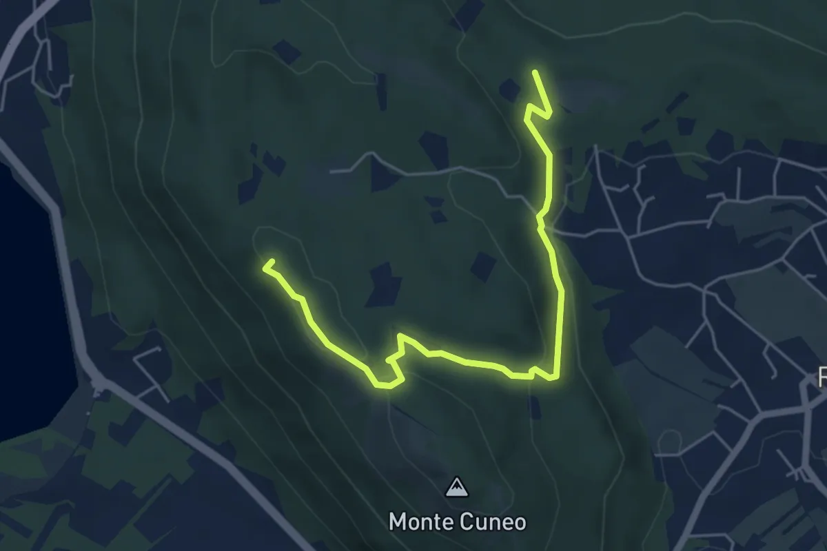
Medium · Summit
Borgata Fiori di Reano, Bivio TOP201-TOP201B – Bivio TOP201-TOP201B
5.4 km · ↑ 141 m · 1 h 35 min · 2 km away
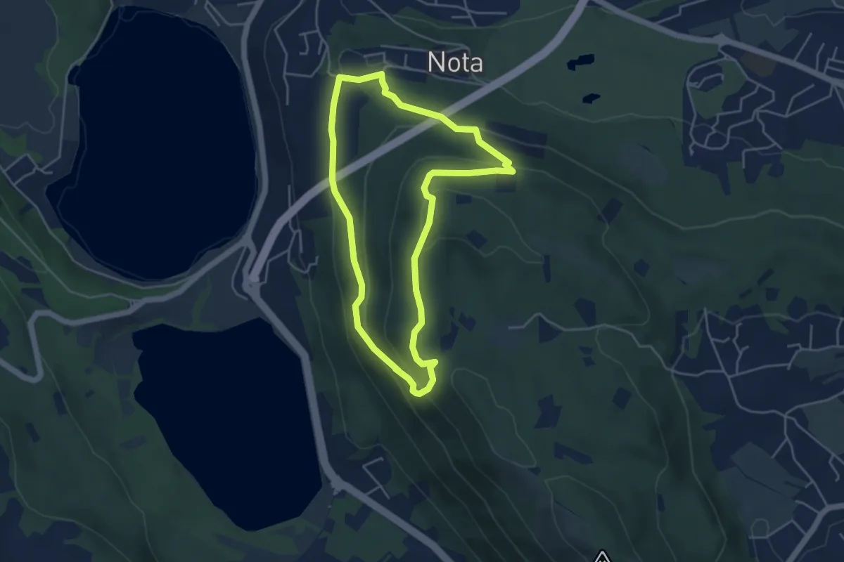
Medium · Trail
Sentiero Gianfranco Salotti
4.3 km · ↑ 194 m · 1 h 29 min · 2 km away
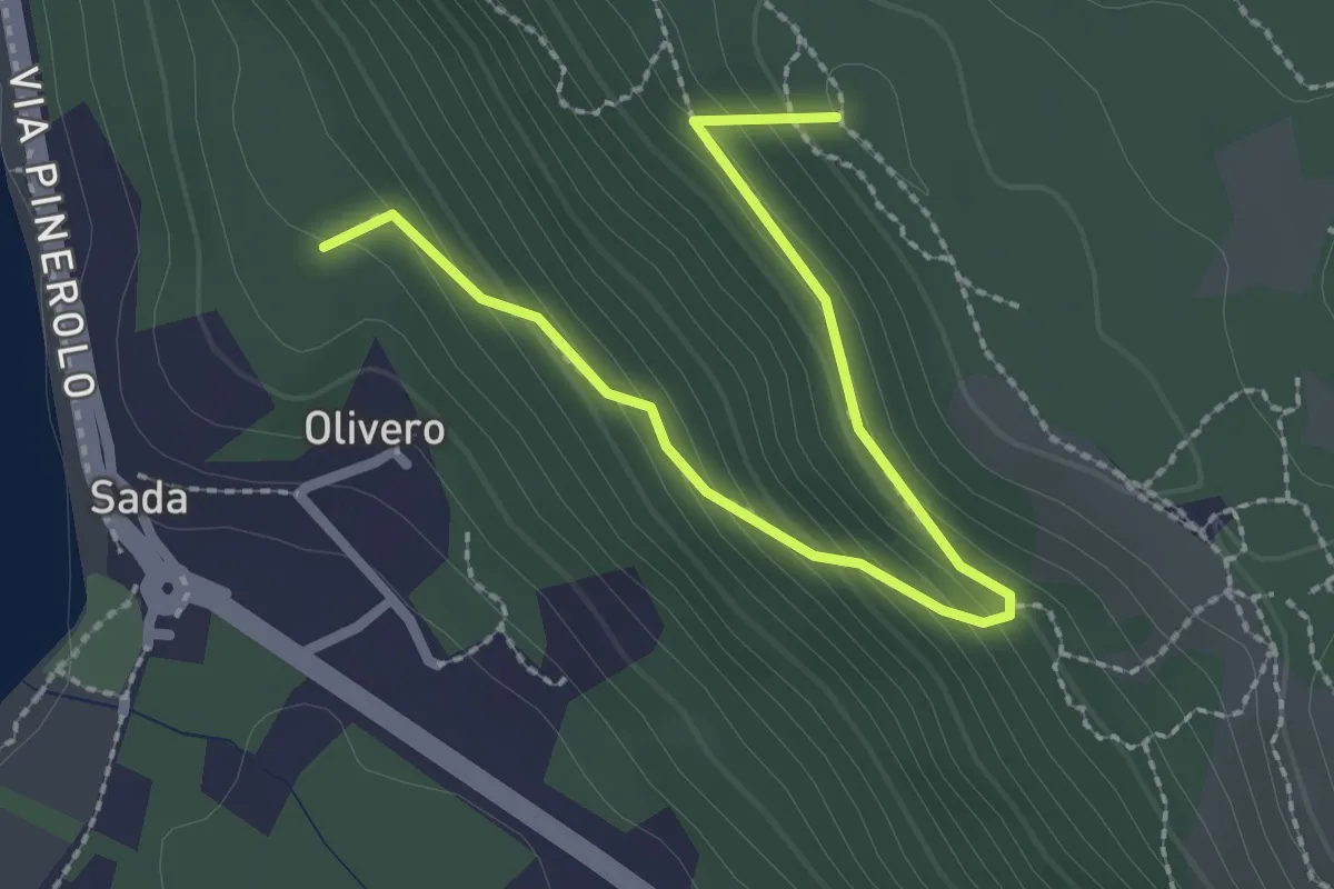
Medium · Summit
Bivio TOS451-TOS451B – Colle del Bal dl'e Masche, Bivio TOS451B-TOP201B
2.8 km · ↑ 182 m · 1 h 3 min · 3 km away
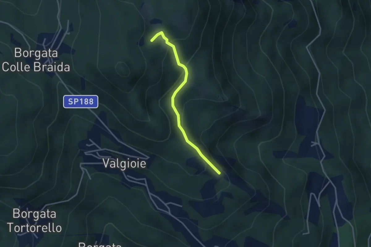
Easy · Trail
Bivio TOS451-TOS451A – Cima Castiglione, bivio TOS451-TOS451A
2.7 km · ↑ 179 m · 1 h 2 min · 4 km away
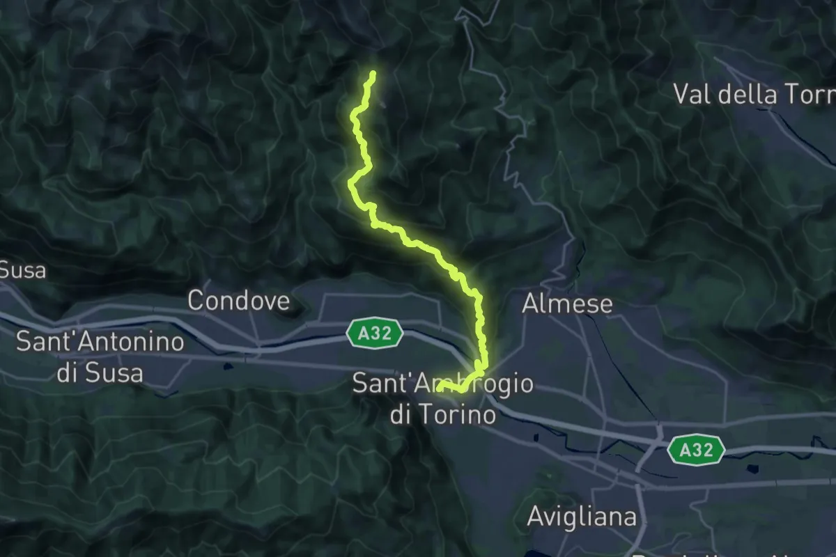
Demanding · Trail
Sant'Ambrogio – Bivio 571-577, Colle della Bassa
21.2 km · ↑ 1289 m · 7 h 48 min · 4 km away
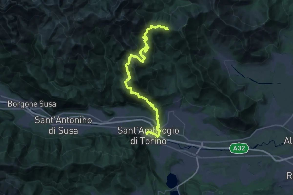
Demanding · Trail
Sentieri della Resistenza - Tappa 06
20.3 km · ↑ 1606 m · 8 h 4 min · 4 km away
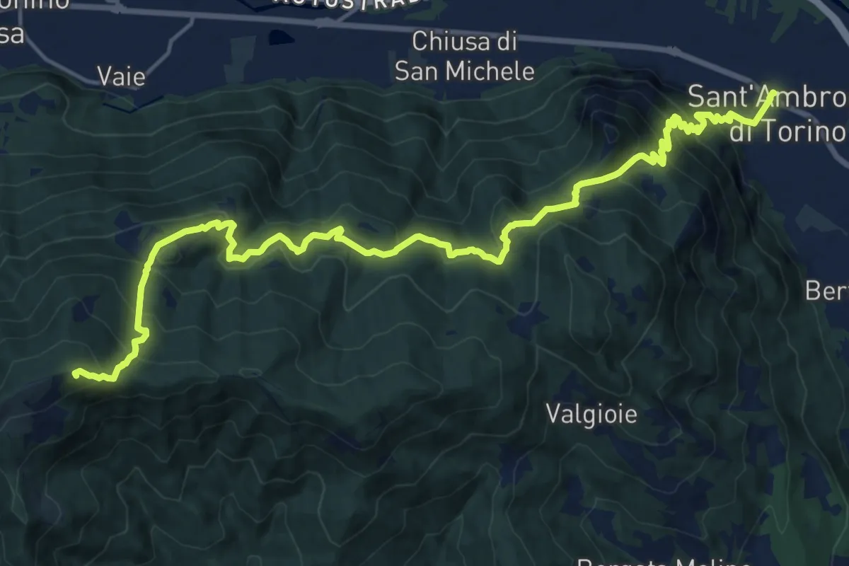
Demanding · Summit
Sentieri della Resistenza - Tappa 07
20.3 km · ↑ 1446 m · 7 h 55 min · 4 km away
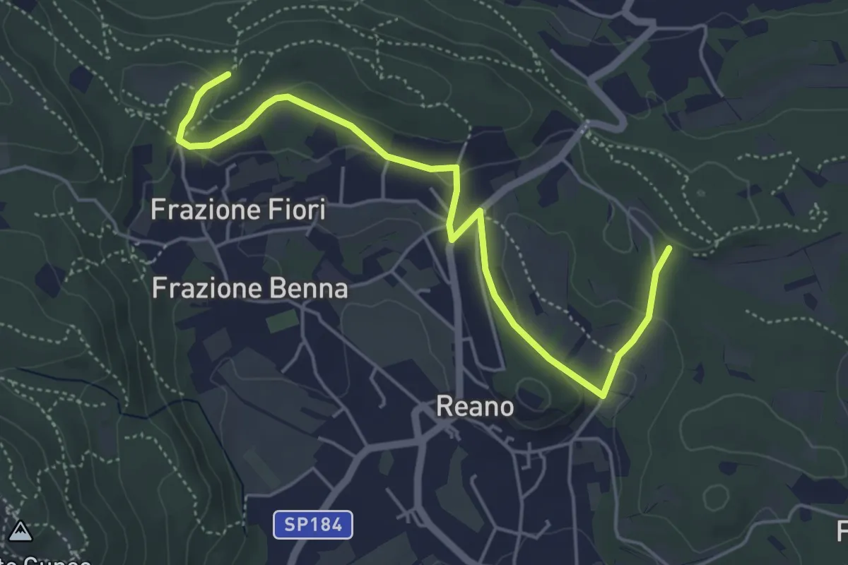
Easy · Trail
Casermette militari – Bivio TOS201
5.5 km · ↑ 115 m · 1 h 33 min · 4 km away
Medium · Summit
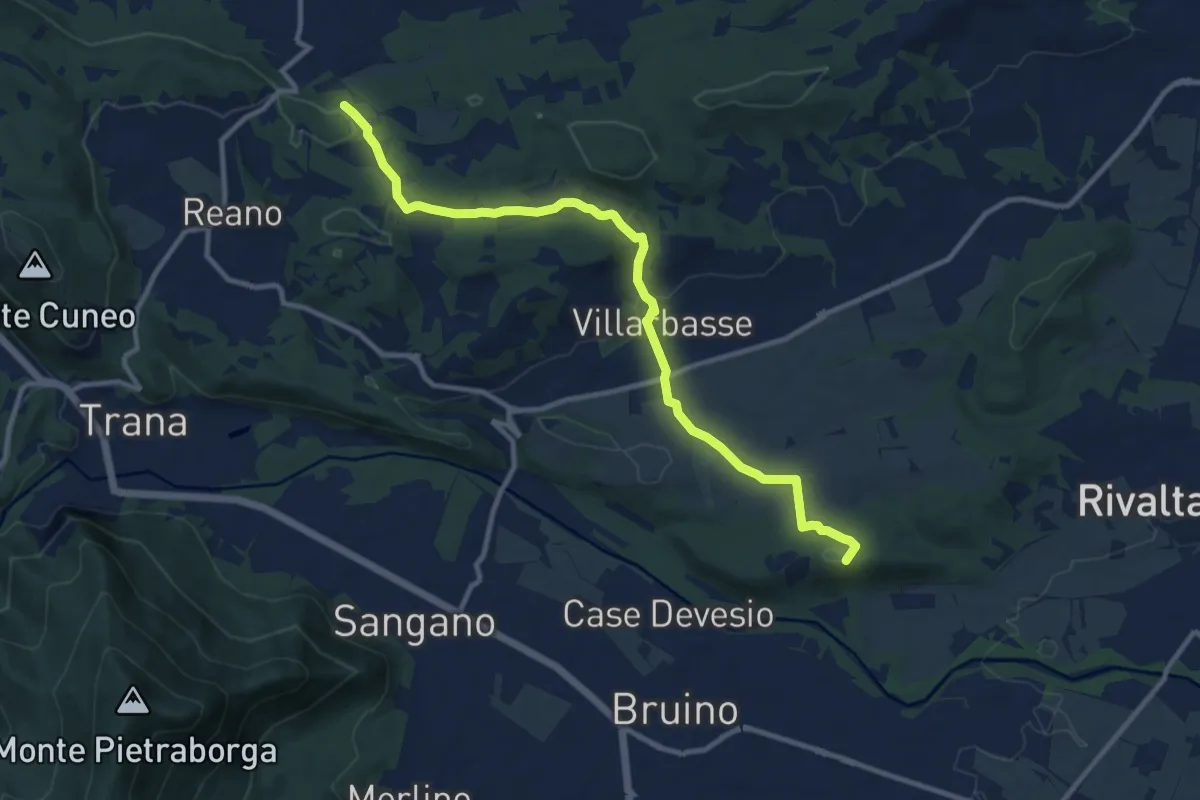
Rivalta – Buttigliera
11.7 km · ↑ 181 m · 3 h 10 min · 4 km away
Medium · Summit
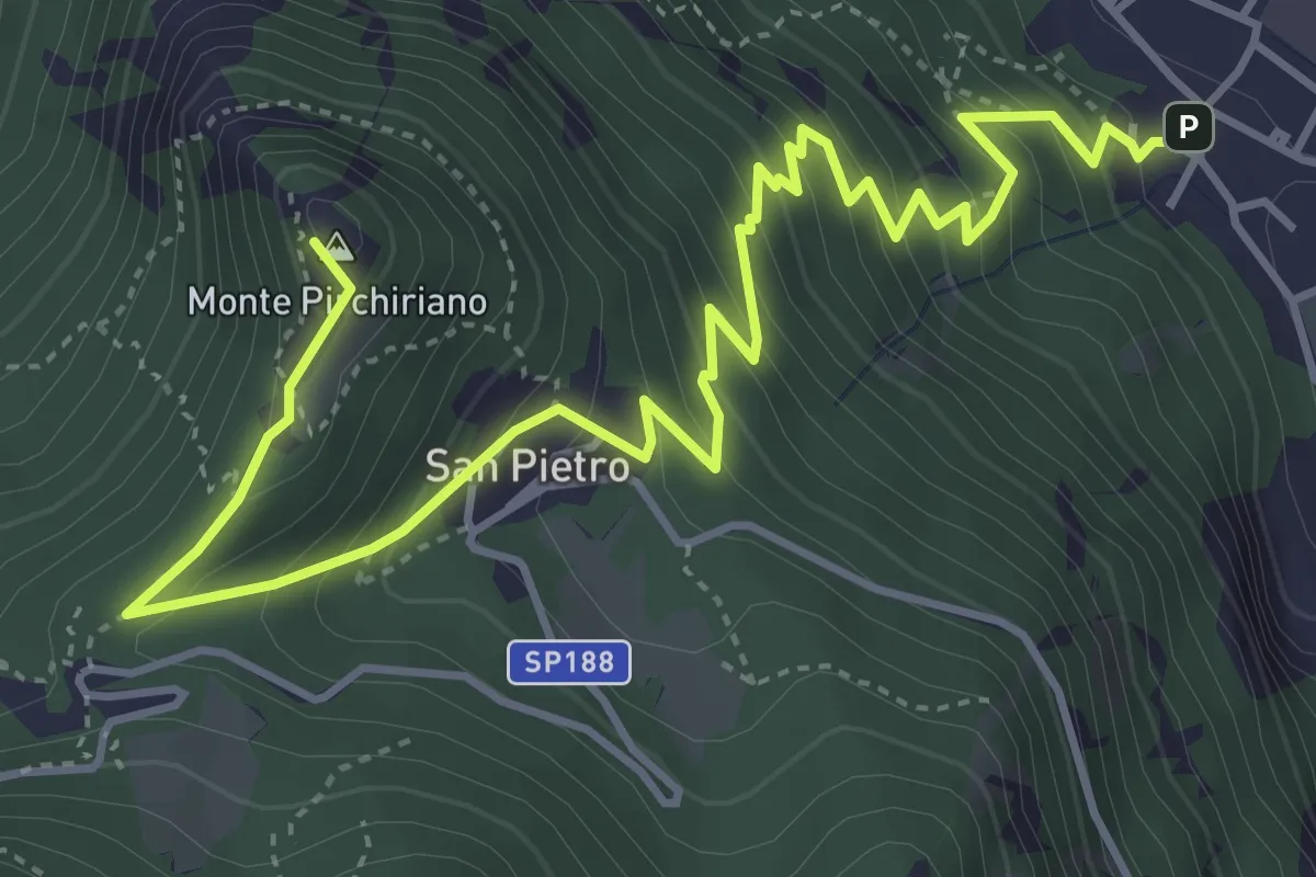
Sant'Ambrogio – Sacra San Michele
6.2 km · ↑ 579 m · 2 h 43 min · 4 km away
Medium · Trail
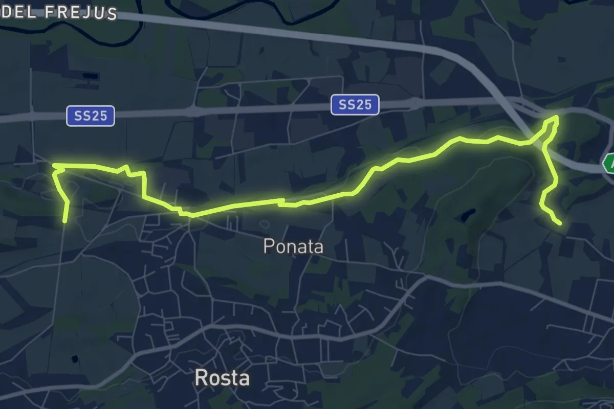
Rivoli, Borgo Nuovo, bivio TOP203-TOP205 – Sant'Antonio di Ranverso, bivio TOP201A-TOP205
10.7 km · ↑ 98 m · 2 h 44 min · 4 km away
Medium · Trail
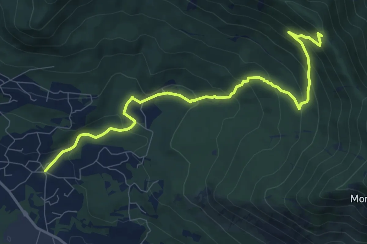
Almese, Frazione Rivera – Almese, bivio TOS578-TOS583
9.2 km · ↑ 552 m · 3 h 21 min · 4 km away
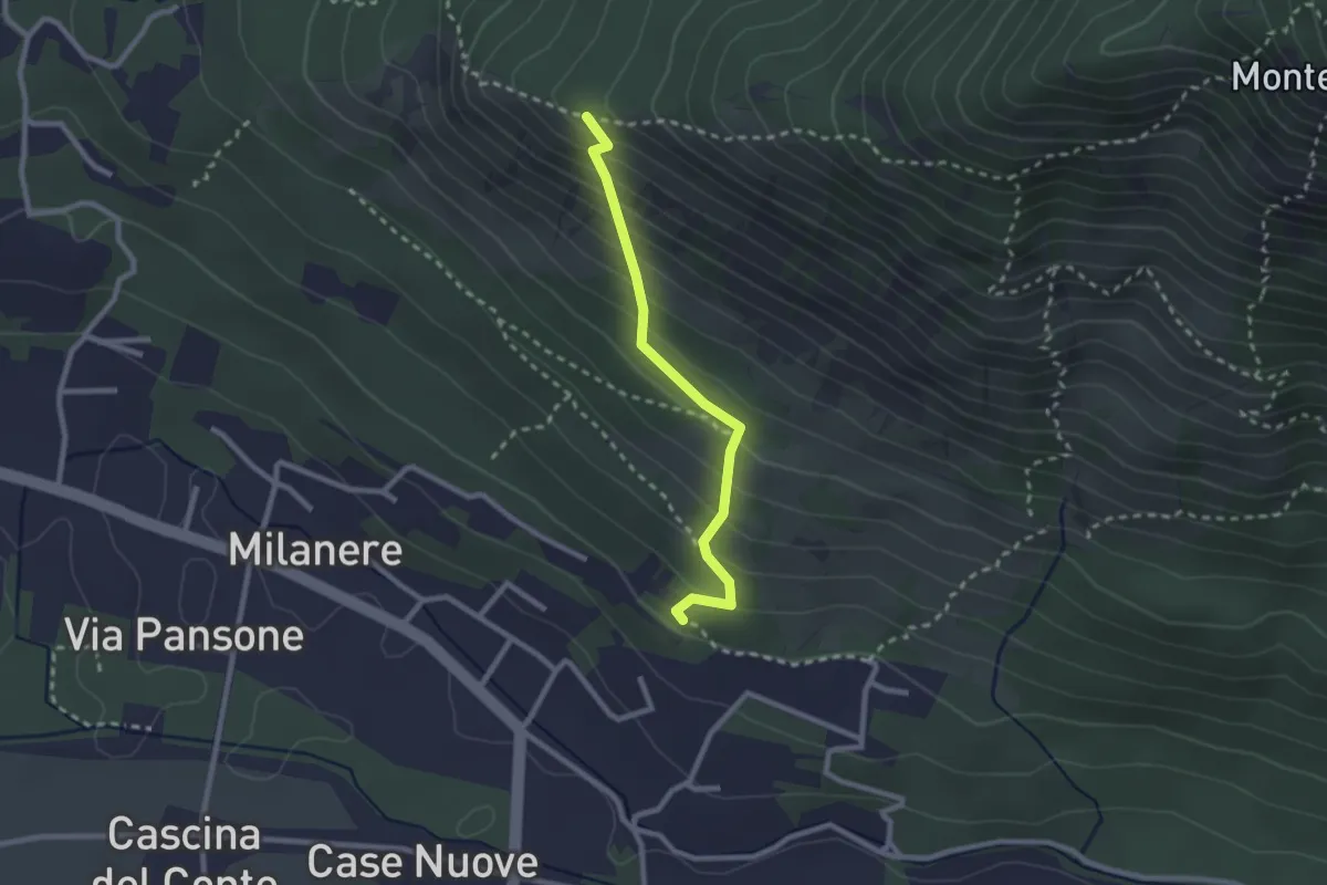
Medium · Trail
Almese. C. Brunalli, bivio TOS590A-TOS590C – Almese, bivio TOS590-TOS590A presso Truc Vandolera
2.3 km · ↑ 261 m · 1 h 7 min · 4 km away
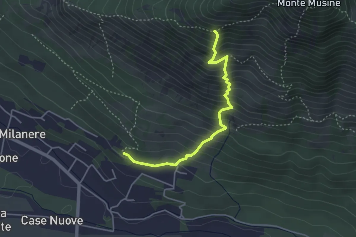
Medium · Trail
Almese. C. Brunalli, bivio TOS590A-TOS590C – Almese, bivio TOS590-TOS590C
3.5 km · ↑ 487 m · 1 h 53 min · 4 km away
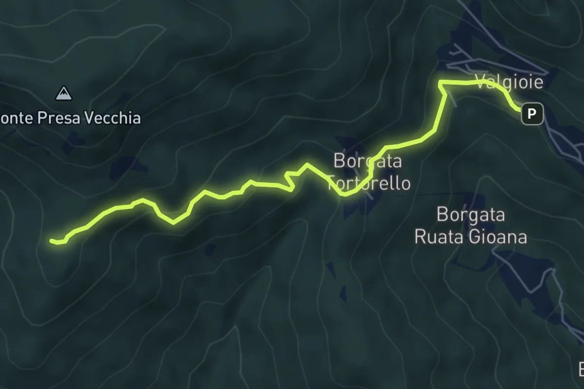
Easy · Trail
Borgata Chiodrero – Bivio 436-438
6.1 km · ↑ 292 m · 2 h 4 min · 4 km away
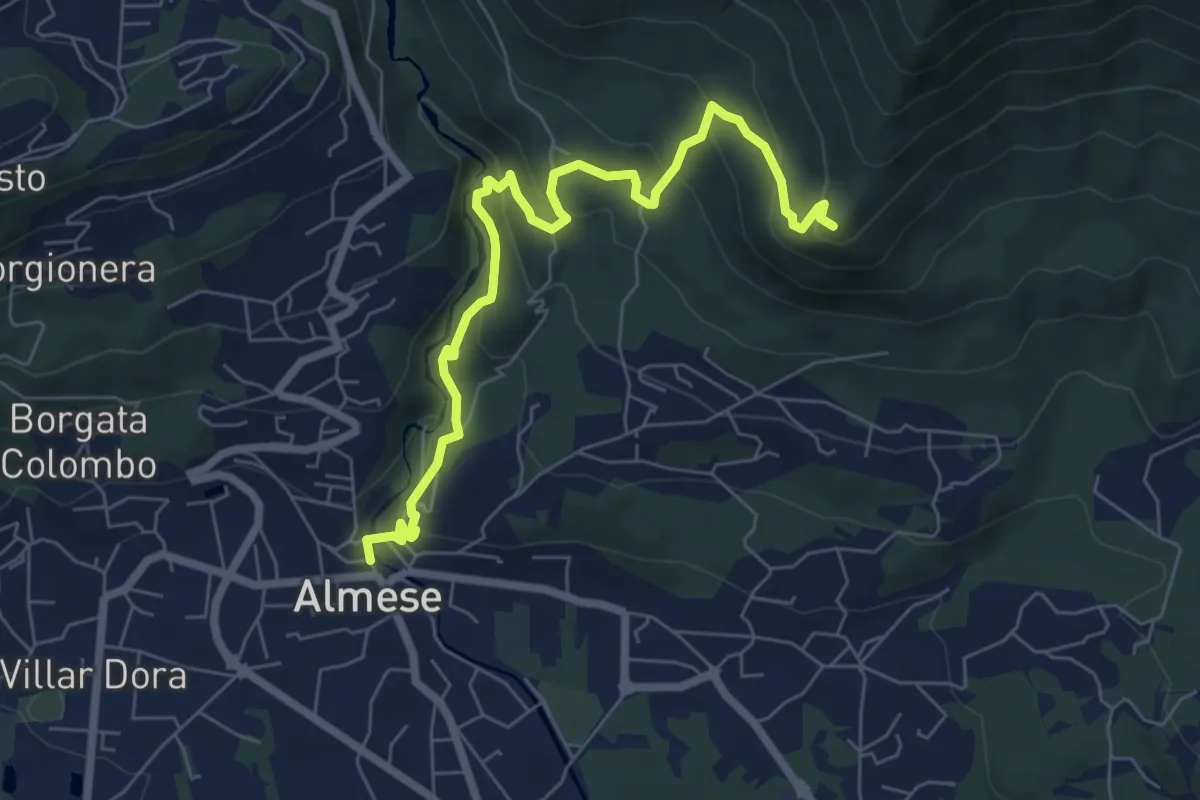
Medium · Summit
Almese, centro paese – Pian ed la Sisterna, bivio TOS574-TOS578
7.5 km · ↑ 411 m · 2 h 39 min · 4 km away
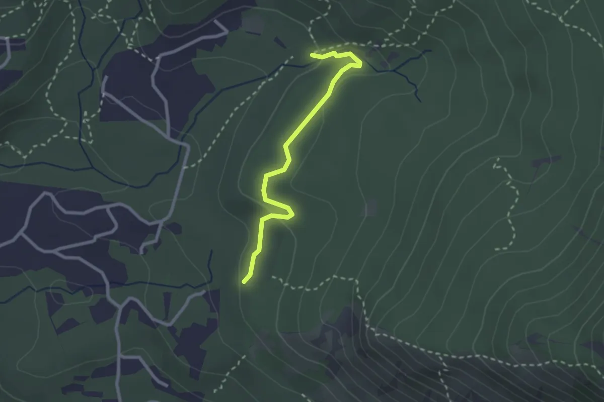
Easy · Trail
Almese, bivio TOS583A-TOS583B presso fraz. Vernetto – Almese, bivio TOS583-TOS583B-TOS583C presso Rio del Lepre
2.4 km · ↑ 53 m · 40 min · 5 km away
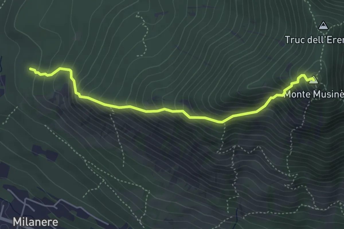
Medium · Summit
Almese, bivio TOS590-TOS580A presso Truc Vandolera – Monte Musiné, bivio TOS572-TOS590
4.5 km · ↑ 621 m · 2 h 25 min · 5 km away
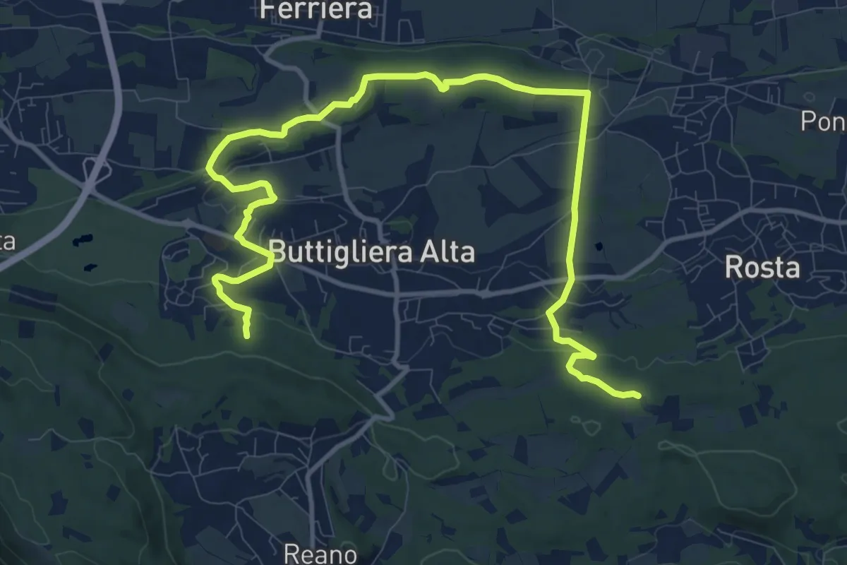
Medium · Trail
Le fronde di Buttigliera alta, bivio TOP201-TOP201A – Bivio TOP201-TOP201A
14.6 km · ↑ 272 m · 4 h 2 min · 5 km away
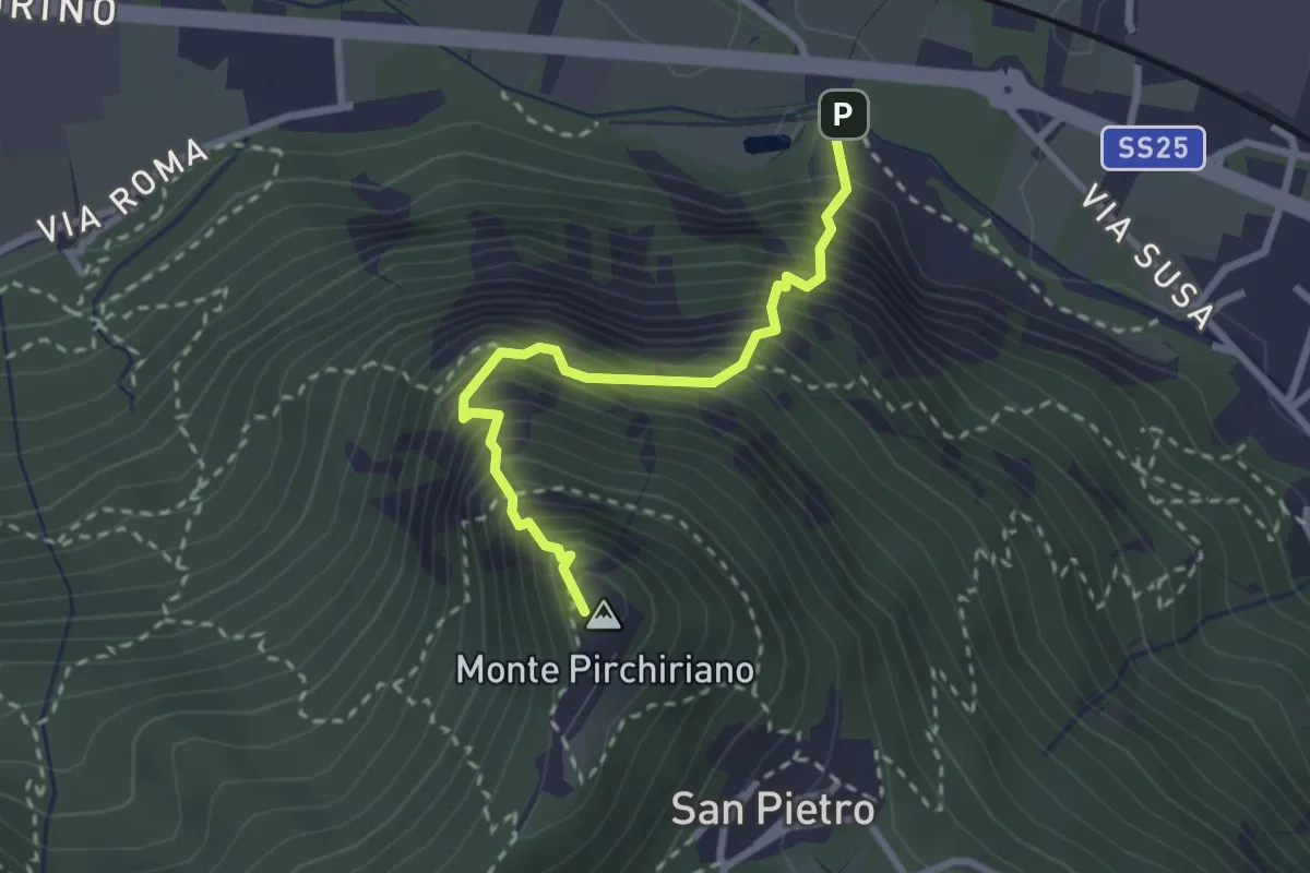
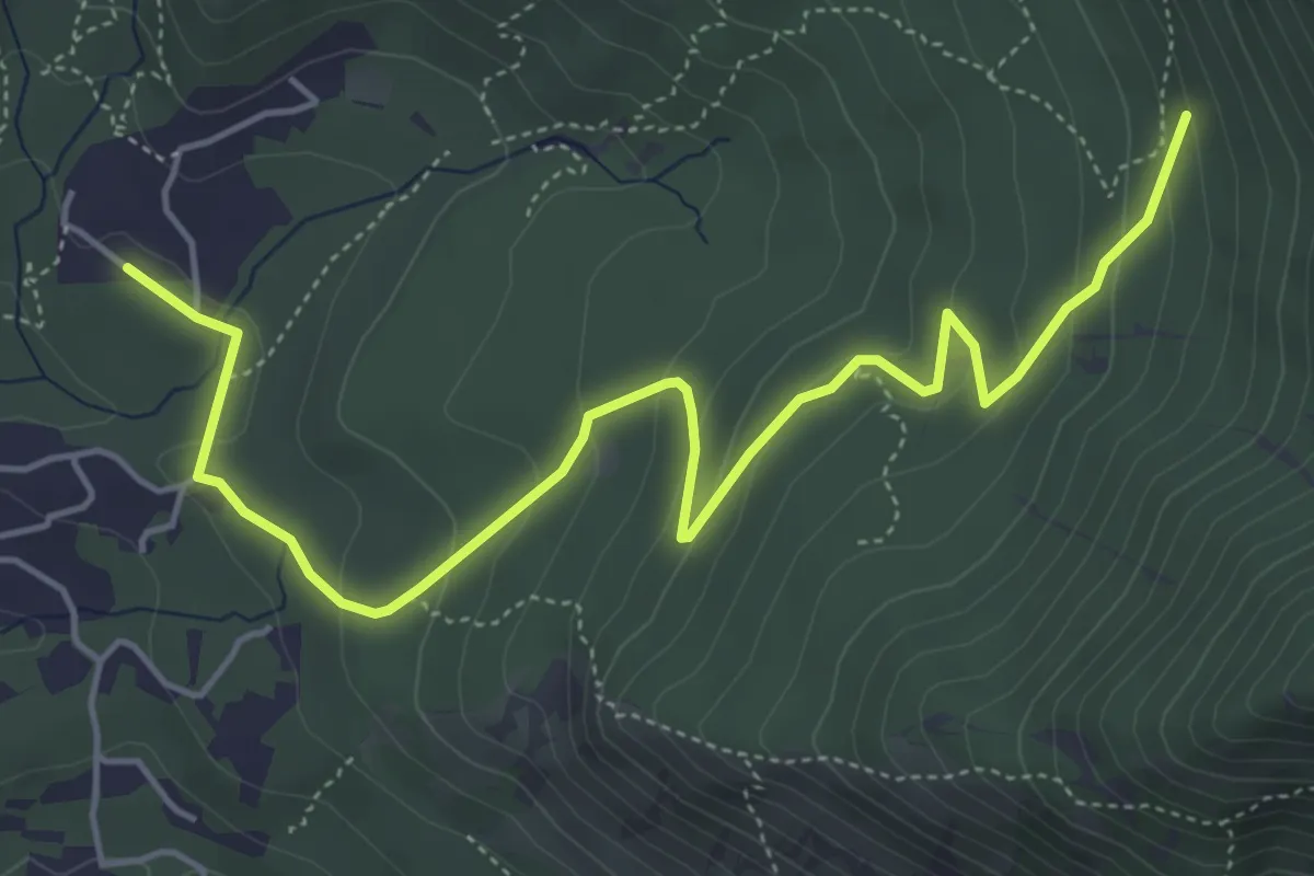
Medium · Summit
Via Ferrata Carlo Giorda
2.6 km · ↑ 675 m · 2 h 5 min · 5 km away
Easy · Trail
Almese, bivio TOS583-TOS583A presso Morsino – Almese, bivio TOS583-TOS583A
6.1 km · ↑ 290 m · 2 h 4 min · 5 km away
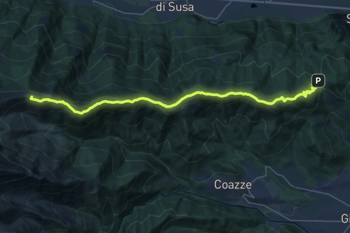
Demanding · Summit
Colle Braida, bivioTOS435-TOS451-TOS503A – Pian Peiroel, bivio TOS420-TOS435
23.3 km · ↑ 1076 m · 7 h 50 min · 5 km away
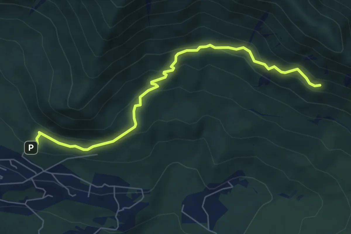
Medium · Trail
Almese, bivio TOS579-TOS579A presso loc. Le Muande – Almese, bivio TOS579-TOS579A
6.3 km · ↑ 349 m · 2 h 14 min · 5 km away
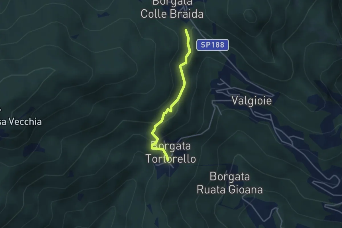
Medium · Trail
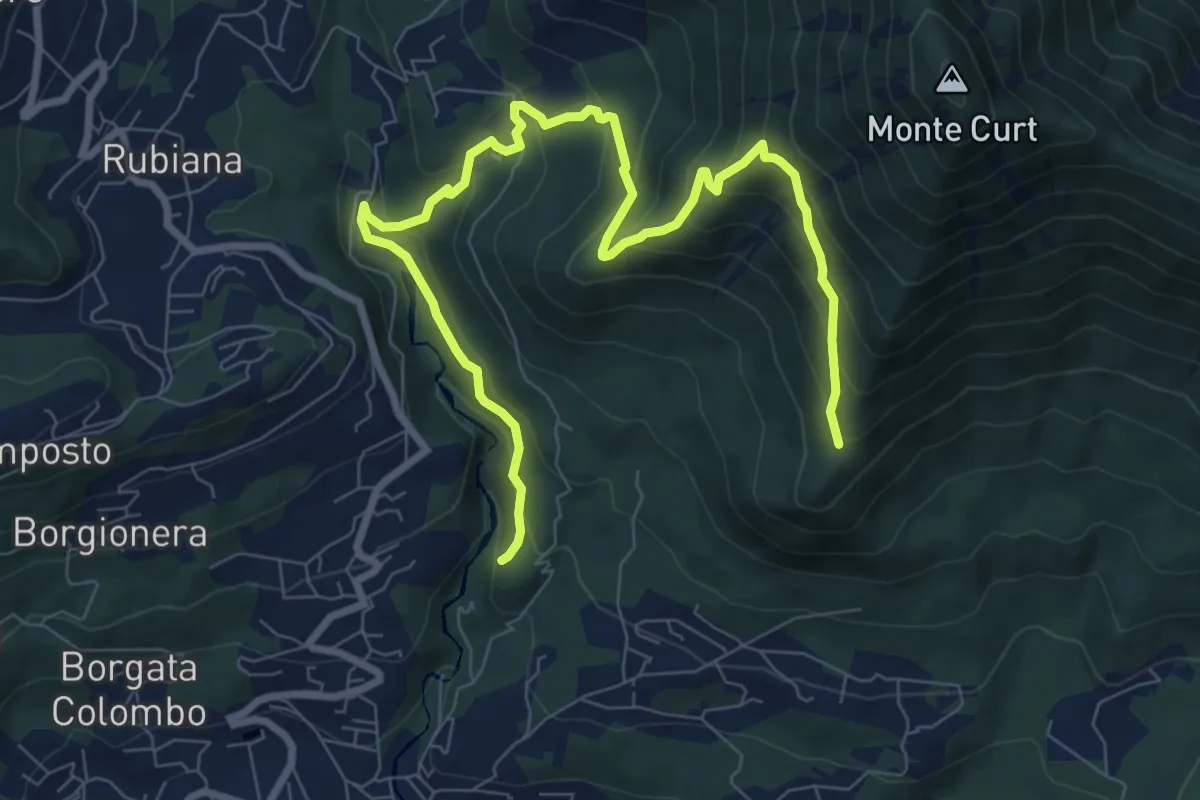
Bivio 435-435A, Borgata Colle Braida – Bivio 435A-438, Borgata Tortorello
2.7 km · ↑ 213 m · 1 h 6 min · 5 km away
Medium · Trail
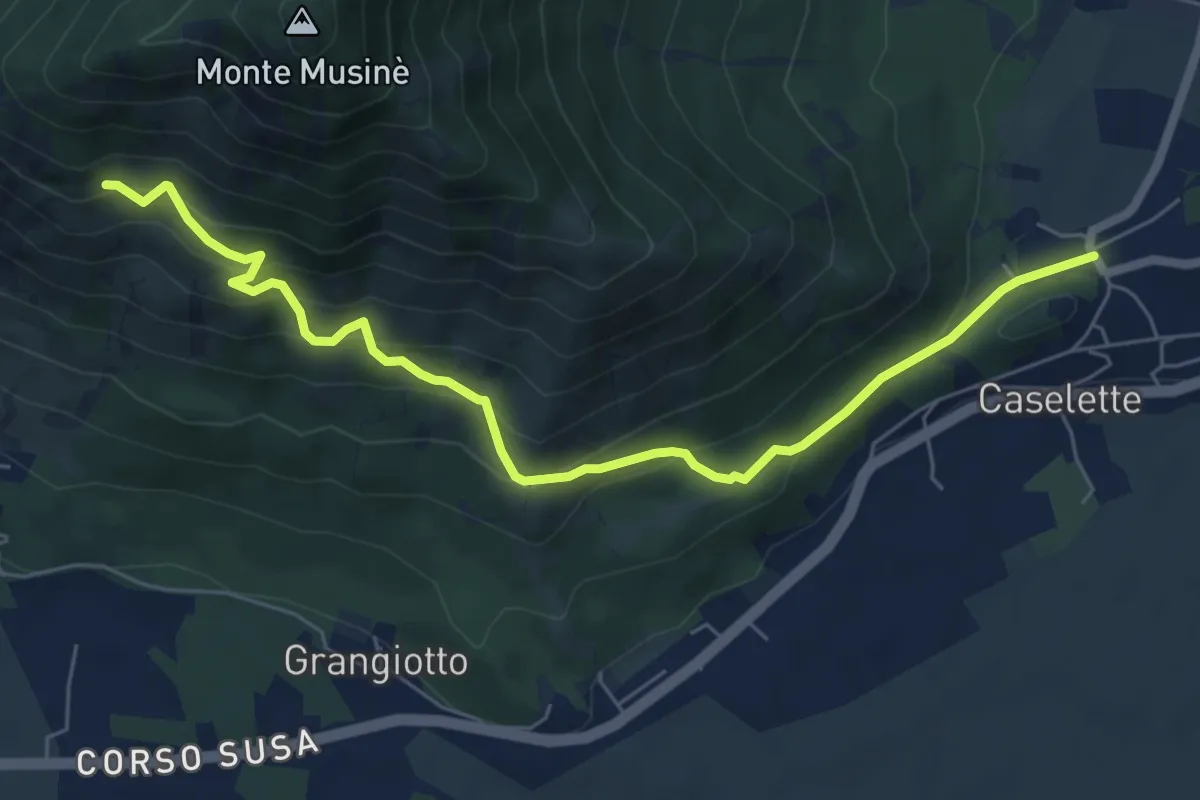
Almese, bivio TOS578-TOS578A presso torrente Messa – Almese, bivio TOS578-TOS578A presso pilone Mollar
10.8 km · ↑ 677 m · 4 h · 5 km away
Medium · Trail
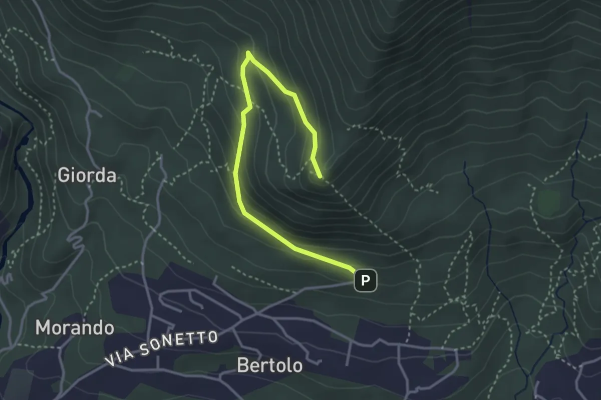
Caselette, bivio TOS572-TOS572B presso campo sportivo – Almese, bivio TOS590C-TOS572B
7.2 km · ↑ 497 m · 2 h 46 min · 5 km away
Easy · Summit
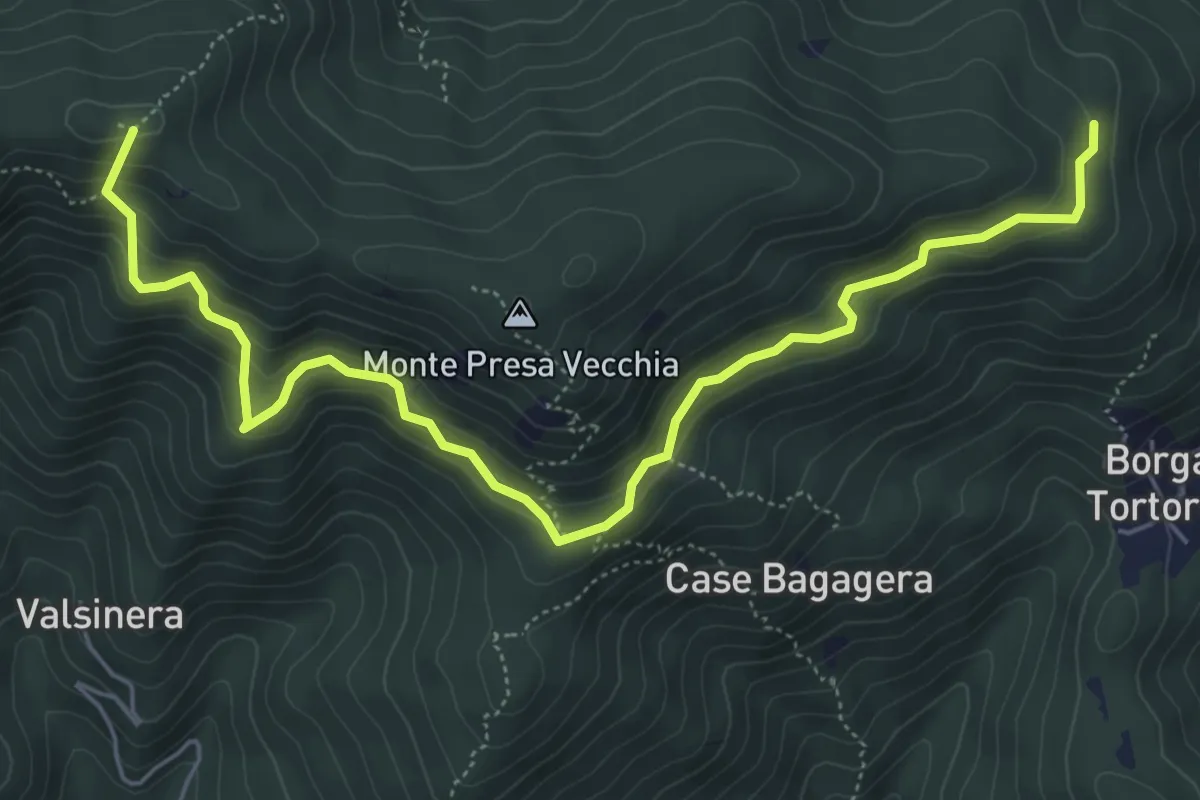
Almese, Parcheggio Pera Pluc, bivio TOS578D-TOS579 – Almese, bivio TOS578D-TOS578 presso Pilone Mollar
3.5 km · ↑ 206 m · 1 h 17 min · 5 km away
Medium · Summit
Bivio 435-435B, Borgata Presa delle Rose – Bivio 435-435C, Colle Remondetto
7.0 km · ↑ 443 m · 2 h 37 min · 5 km away
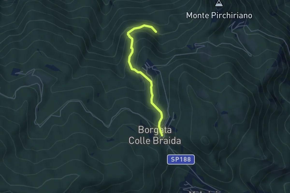
Medium · Trail
Colle Braida, bivio TOS435-TOS503A – Presso Case Giacosa, bivio TOS503-TOS503A
3.9 km · ↑ 306 m · 1 h 35 min · 5 km away
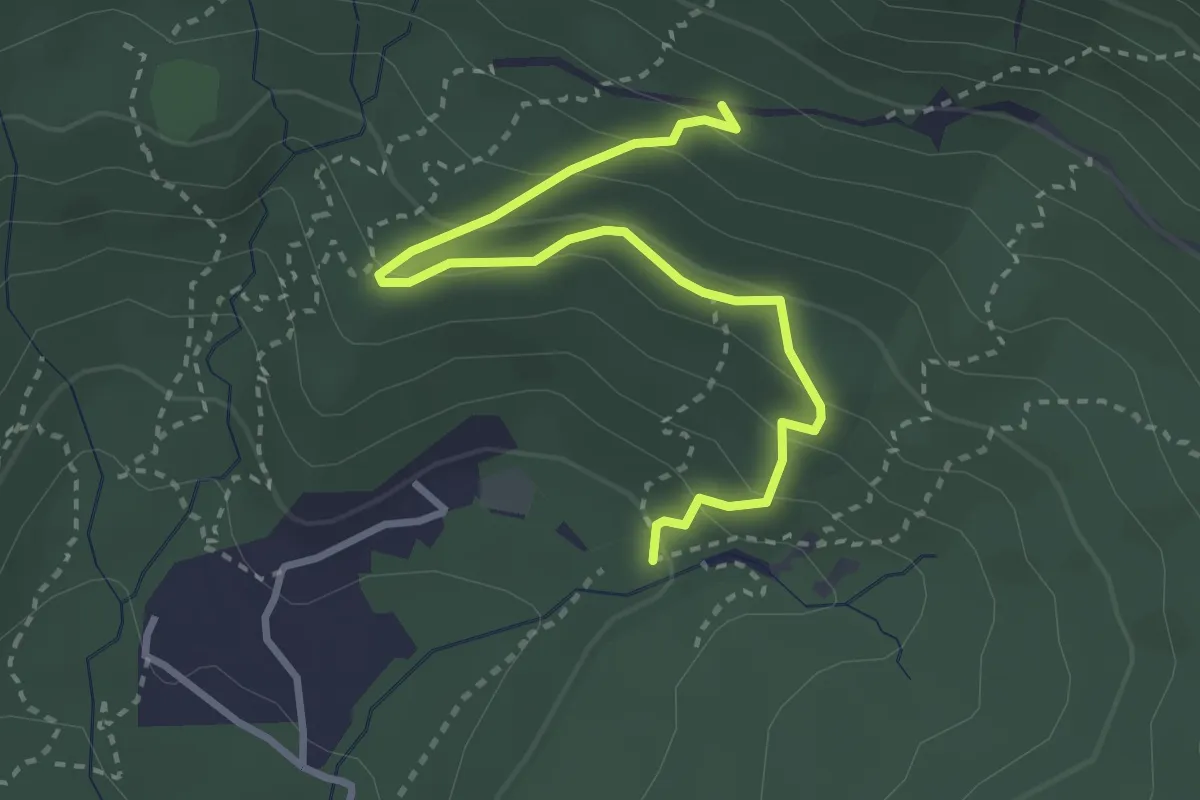
Easy · Trail
Almese, bivio TOS583-TOS583B-TOS583C presso Rio del Lepre – Almese, bivio TOS579C-TOS583C
3.4 km · ↑ 224 m · 1 h 17 min · 5 km away
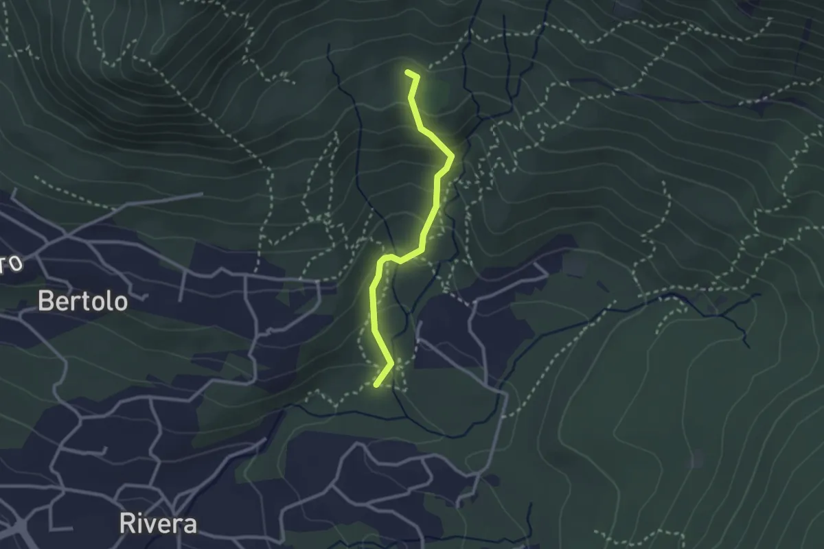
Medium · Trail
Almese, bivio TOS580-TOS579B presso Rio Morsino – Almese, bivio TOS579-TOS579B presso Rio Saladinera
2.4 km · ↑ 171 m · 56 min · 6 km away
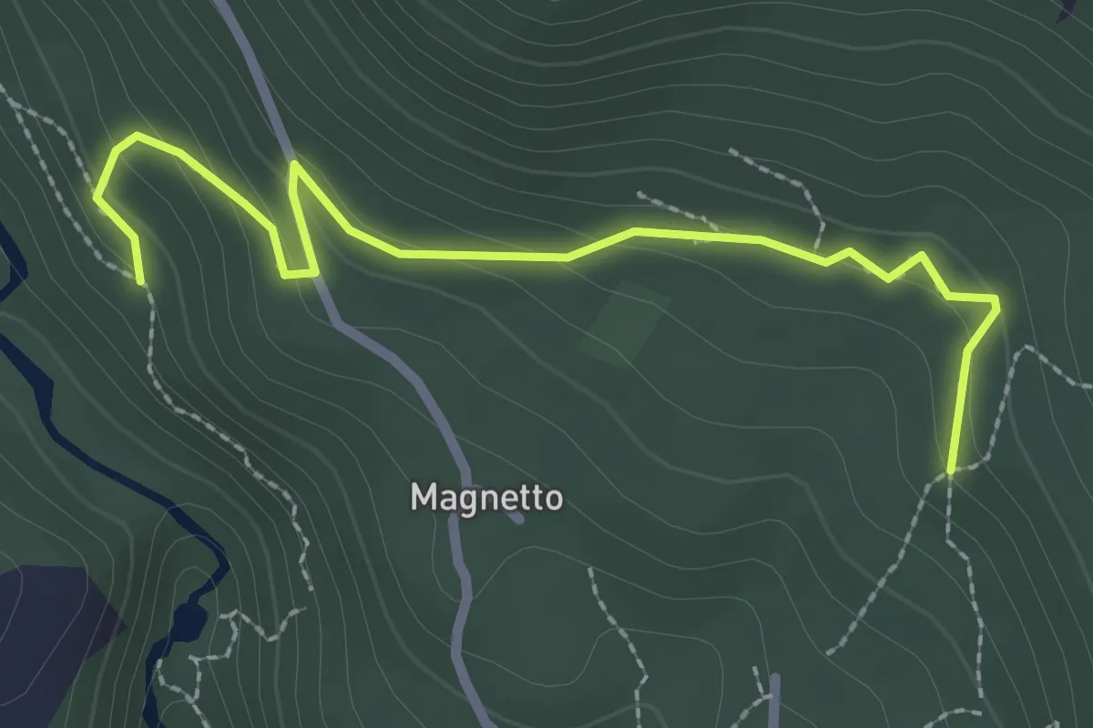
Easy · Trail
Almese, bivio TOS578A-TOS578C – Almese, bivio TOS578-TOS578C presso Frazione Bertolo
2.7 km · ↑ 129 m · 55 min · 6 km away
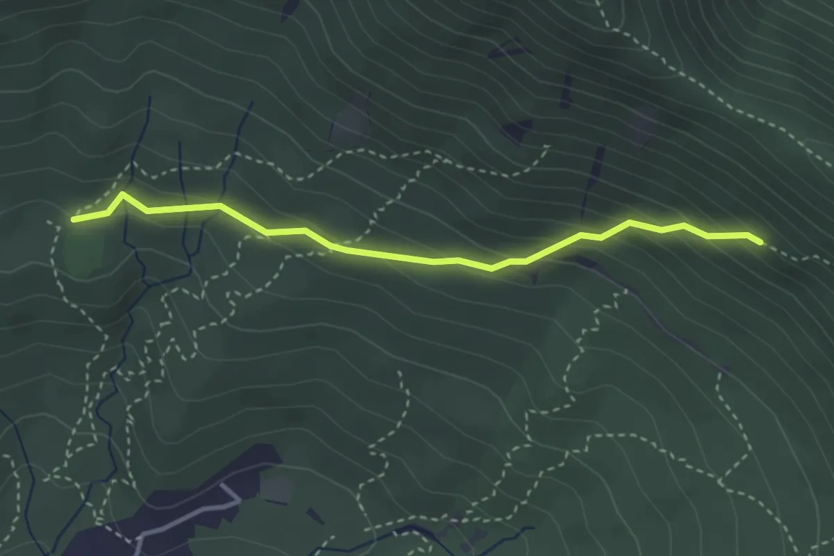
Medium · Trail
Almese, bivio TOS579-TOS579C presso Rio Ceneirola – Almese, bivio TOS580-TOS579C presso Rio Ceneirola
3.2 km · ↑ 225 m · 1 h 15 min · 6 km away
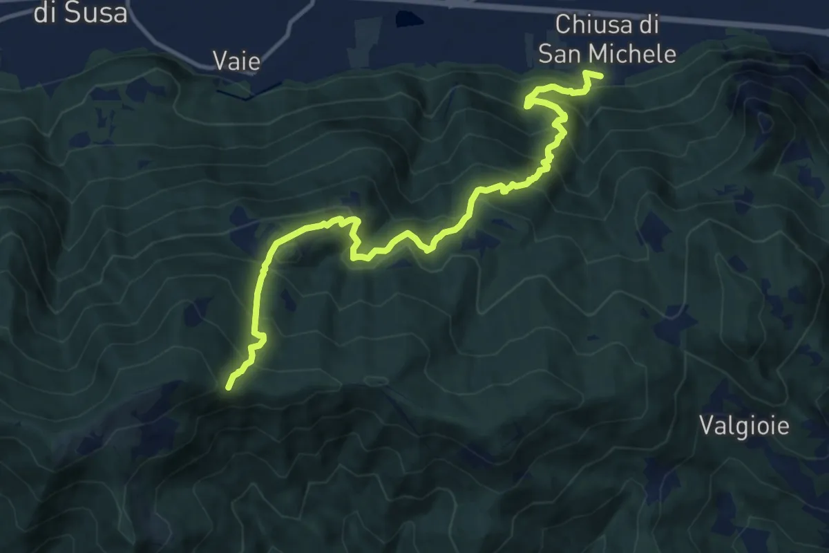
Demanding · Trail
Chiusa di San Michele (Borgata Paschè) – Colle Remondetto (Trei Roc)
12.9 km · ↑ 1093 m · 5 h 25 min · 6 km away
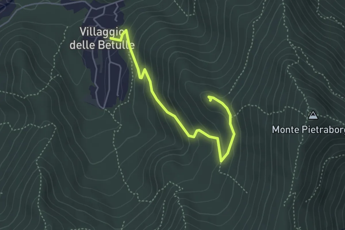
Easy · Trail
Percorso alla Croce degli Alpini di Trana
4.2 km · ↑ 258 m · 1 h 34 min · 6 km away
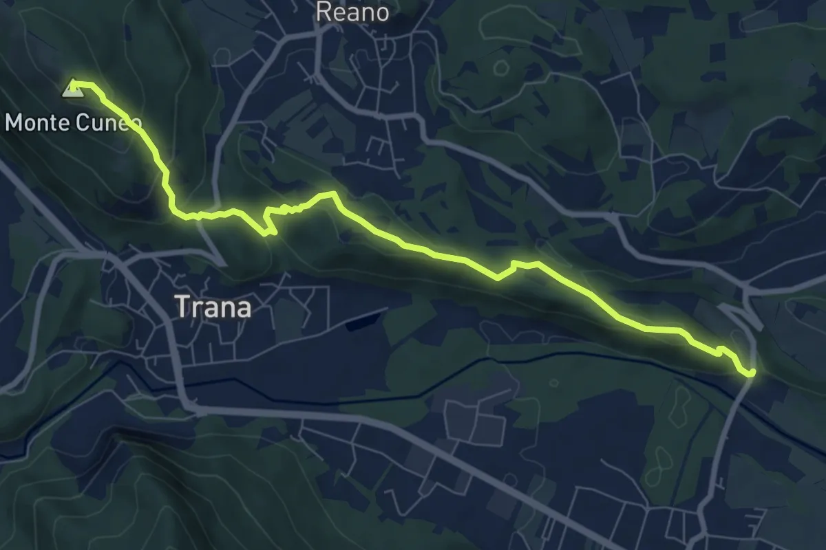
Medium · Summit
Col Buchet, bivio TOS454 - TOS201B – Sangano, bivio TOS454-TOP206
8.8 km · ↑ 403 m · 2 h 57 min · 6 km away
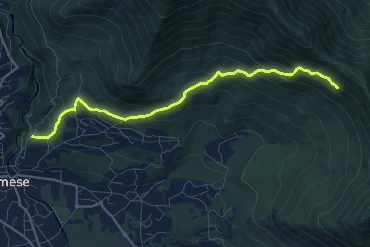
Medium · Trail
Almese, loc. Gamba Bosco, bivio TOS578-TOS579 – Almese, bivio TOS579-TOS578
8.6 km · ↑ 453 m · 3 h 1 min · 6 km away
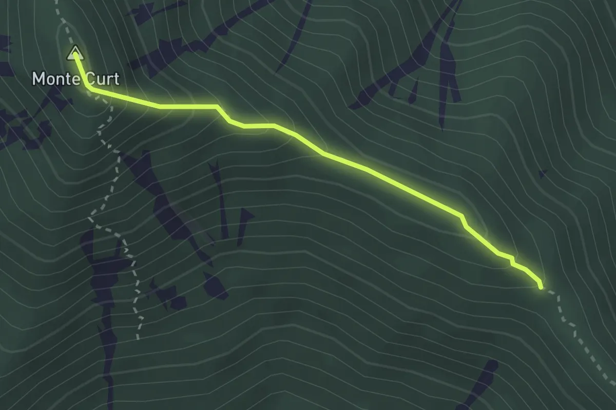
Medium · Summit
Località Taisonera, bivio TON016-TOS578 – Madonna della Bassa, bivio TON011-TON016
2.6 km · ↑ 253 m · 1 h 10 min · 7 km away
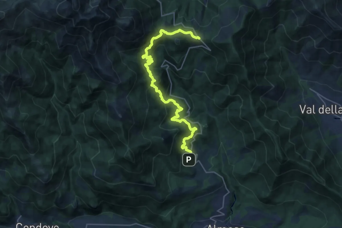
Demanding · Trail
Rocco, Rubiana – Bivio 102B-570-570C-570D, Colle del Lys
20.9 km · ↑ 1165 m · 7 h 27 min · 7 km away
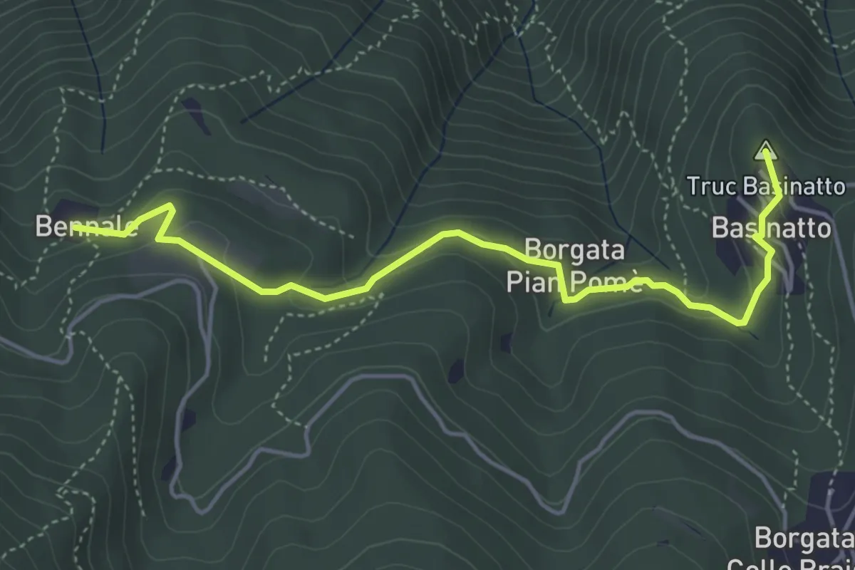
Easy · Summit
Bennale, bivio TOS561-TOS504 – Piazzale di Croce Nera, bivio TOS561-TOS502
4.9 km · ↑ 193 m · 1 h 34 min · 7 km away
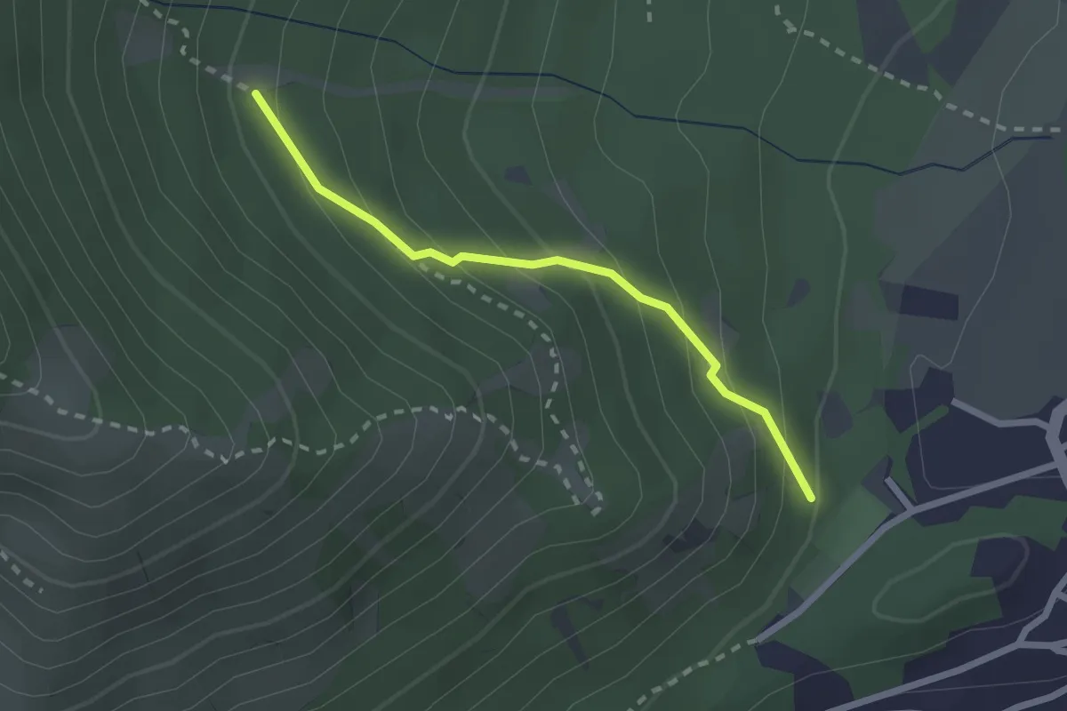
Medium · Trail
Bivio 572-572C, Caselette – Bivio 572A-572C
2.1 km · ↑ 186 m · 54 min · 7 km away
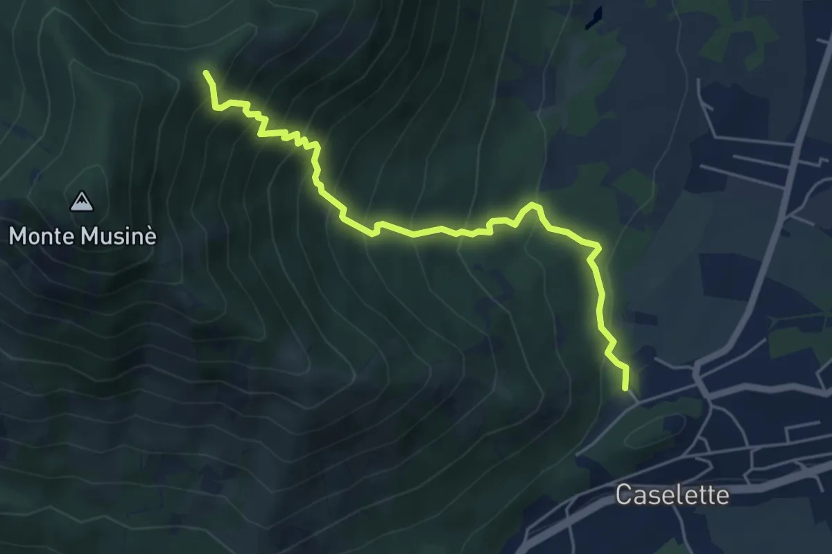
Medium · Trail
Caselette campo sportivo, bivio TOS572-TOS572A – Bivio TOS574A-TOS572A
5.3 km · ↑ 581 m · 2 h 30 min · 7 km away
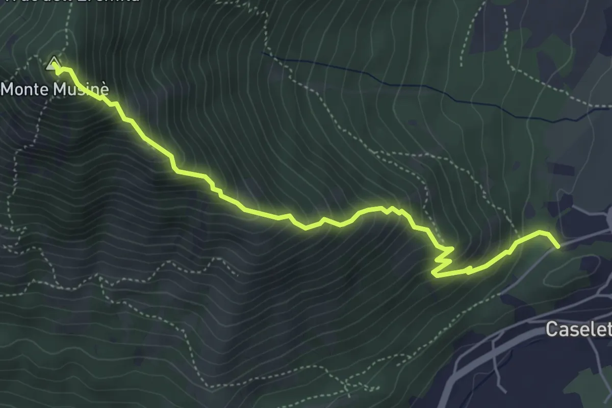
Medium · Summit
Bivio 572-572B, Caselette, campo sportivo – Bivio 572-572B-574, Monte Musinè
5.5 km · ↑ 734 m · 2 h 53 min · 7 km away
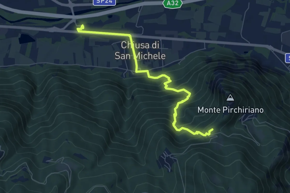
Medium · Trail
Chiusa di San Michele, stazione ferroviaria di Condove – Bivio 502-503, Sacra di San Michele
7.9 km · ↑ 520 m · 2 h 59 min · 7 km away