Trails near Avigliana
181 hikes starting within 15 km, nearest first.
Nearest first, page 2 of 4
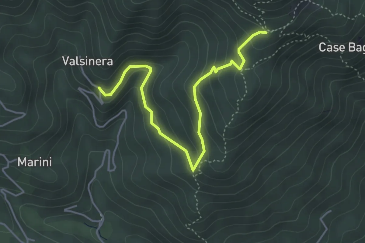
Easy · Trail
Valsinera – Bivio 435B-436
4.5 km · ↑ 283 m · 1 h 41 min · 7 km away
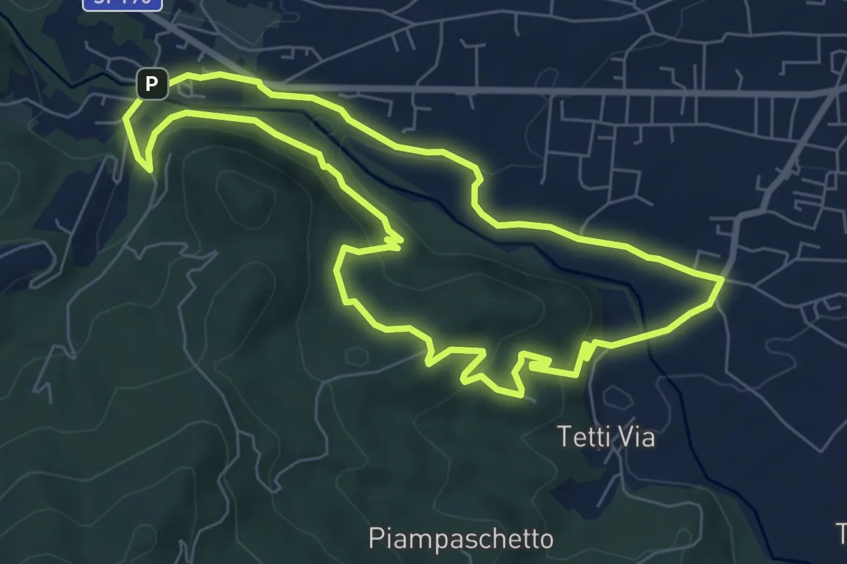
Easy · Summit
Anello Pontepietra
6.8 km · ↑ 179 m · 2 h 5 min · 8 km away
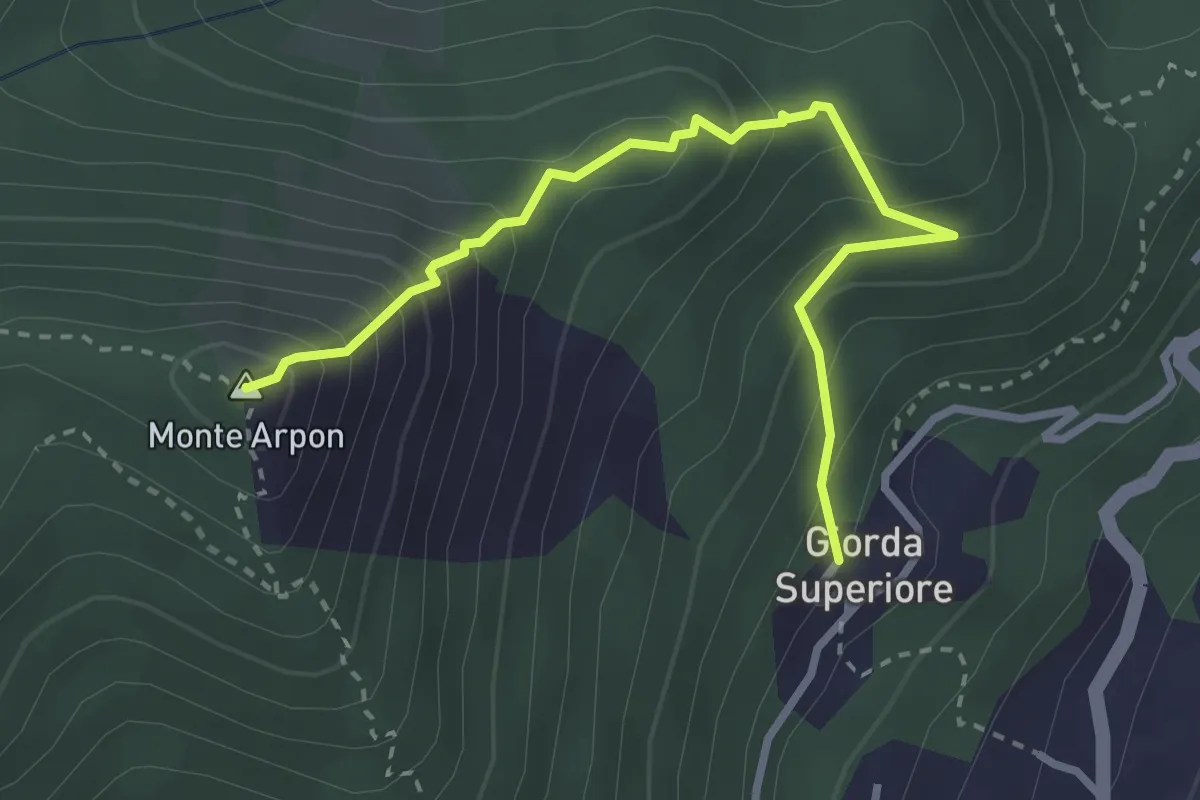
Expert · Summit
Giorda Superiore – Vetta Monte Arpon
3.3 km · ↑ 355 m · 1 h 33 min · 8 km away
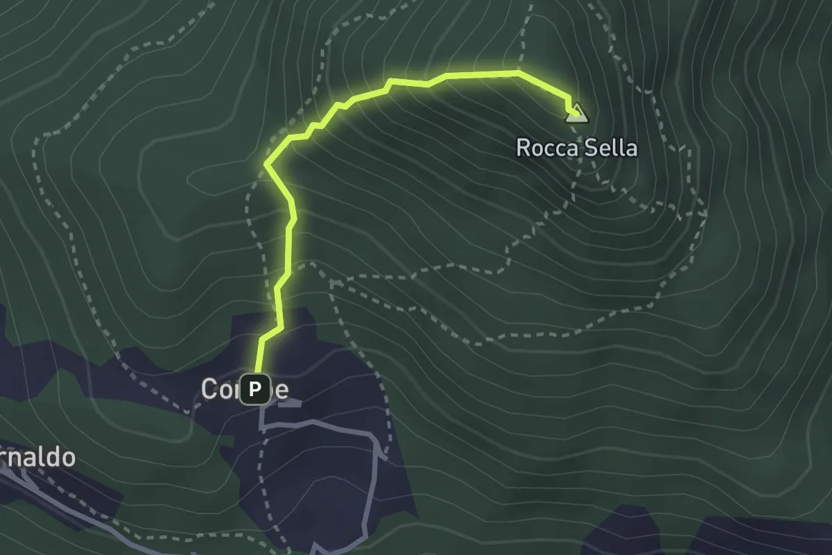
Medium · Summit
Bivio 571-575, Comba – Rocca Sella
2.4 km · ↑ 384 m · 1 h 24 min · 8 km away
Medium · Trail
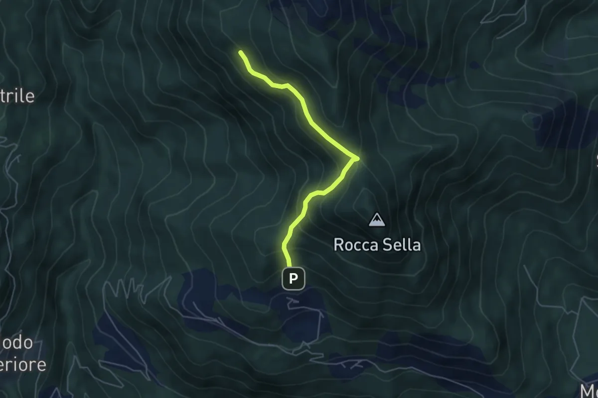
Bivio 571-571A, Fontana Barale – Bivio 571A-575
4.5 km · ↑ 362 m · 1 h 51 min · 8 km away
Easy · Trail
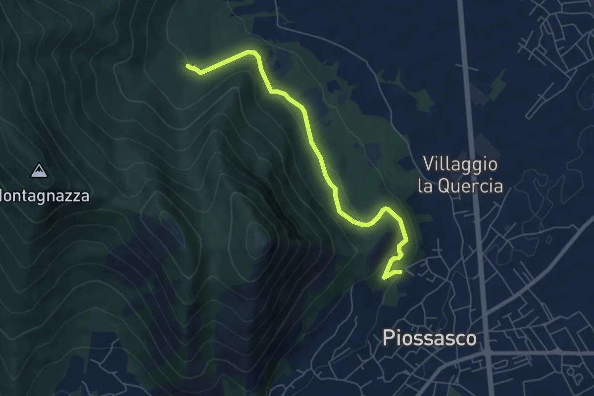
Sbarra della strada della cava, bivio TOP301-TOP302 – Bvio TOP302-TOP303
6.1 km · ↑ 236 m · 1 h 56 min · 8 km away
Easy · Trail
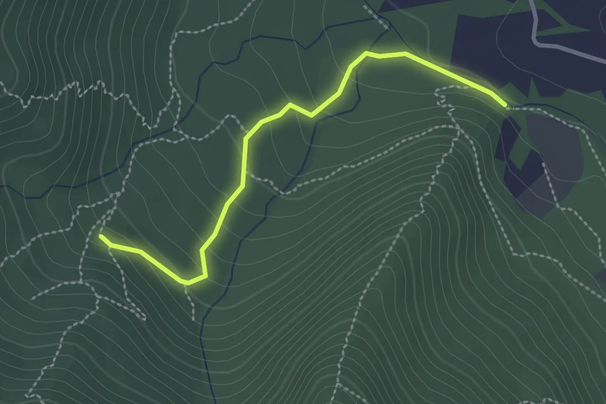
Bivio TOP301-TOP303 strada bianca per frazione Galli – Fonte Guraj
2.6 km · ↑ 108 m · 51 min · 8 km away
Demanding · Cabin
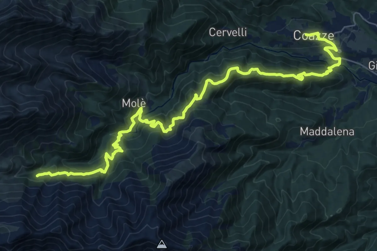
Sentieri della Resistenza - Tappa 08
15.6 km · ↑ 1222 m · 6 h 12 min · 9 km away
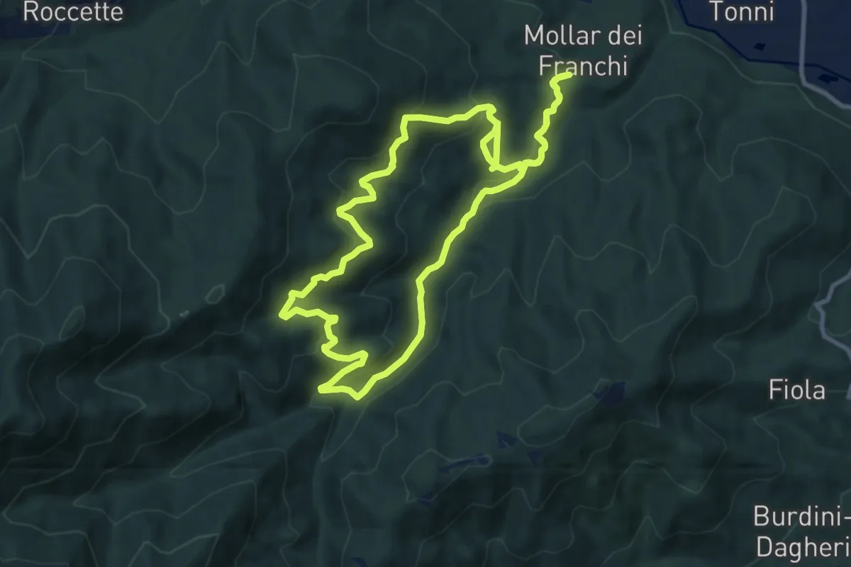
Medium · Trail
Sentiero Augusto monti
9.1 km · ↑ 477 m · 3 h 17 min · 9 km away
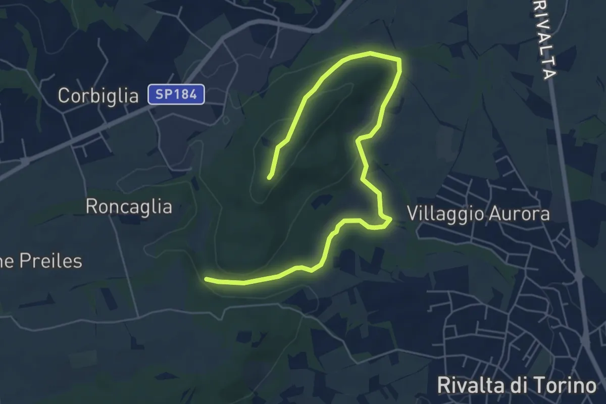
Easy · Summit
Truc Castellazzo – Borgata Roncaglia
7.1 km · ↑ 143 m · 1 h 59 min · 9 km away
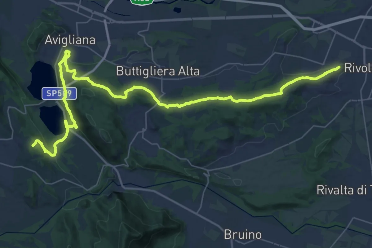
Demanding · Summit
Via dei Pellegrini
34.0 km · ↑ 784 m · 9 h 43 min · 9 km away
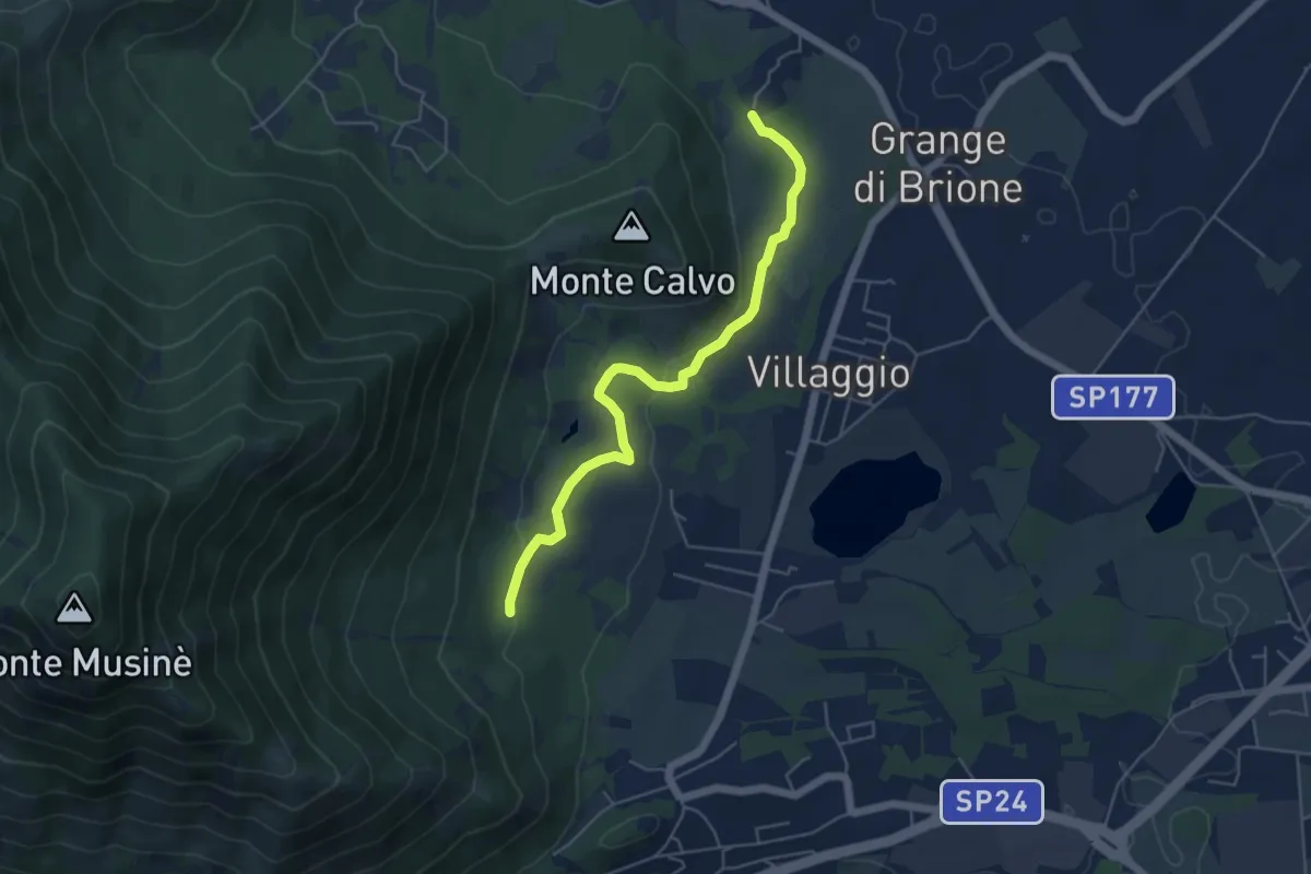
Easy · Trail
Brione, bivio TOS574A-TOS576 – Bivio TOS576-TOS572A
5.4 km · ↑ 131 m · 1 h 33 min · 9 km away
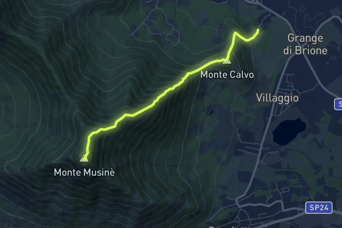
Medium · Summit
Brione – Bivio 572-572B-574, Monte Musiné
7.1 km · ↑ 795 m · 3 h 24 min · 9 km away
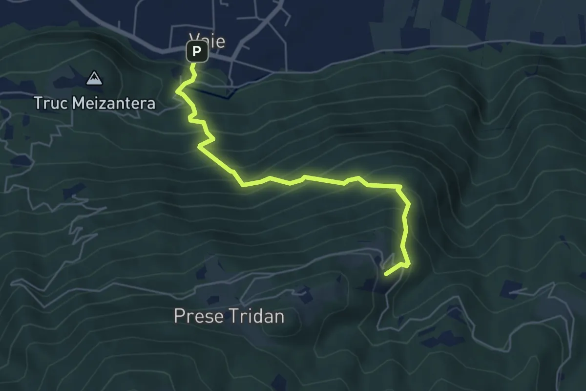
Medium · Trail
Vaie (Piazza) – Folatone, bivio TOS562-TOS504
5.1 km · ↑ 598 m · 2 h 31 min · 9 km away
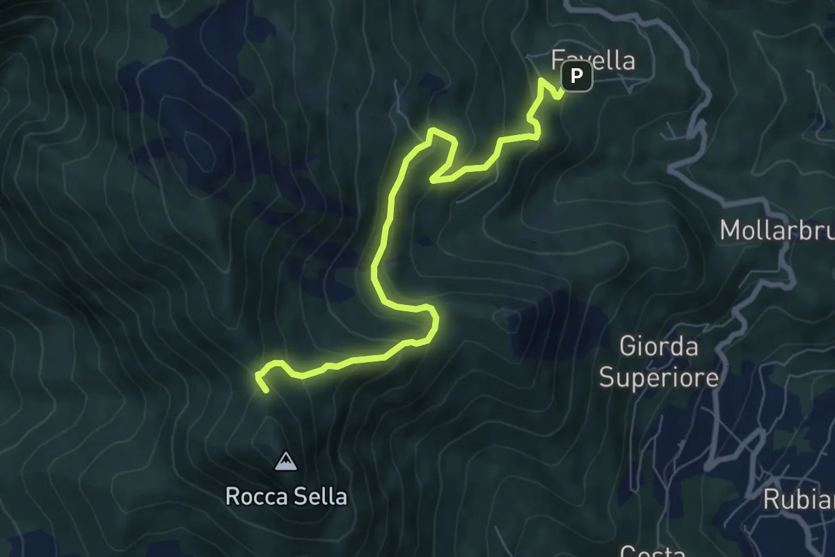
Medium · Trail
Bivio 570A, Favella – Bivio 575, Roccasella
7.8 km · ↑ 508 m · 2 h 57 min · 9 km away
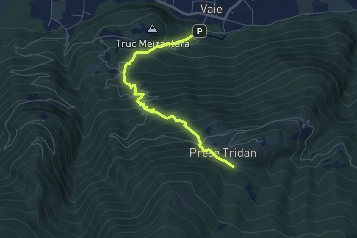
Medium · Trail
Vaie - San Pancrazio, bivio TOS562A-TOS561 – Mura, bivio TOS562A-TOS504
6.0 km · ↑ 696 m · 2 h 56 min · 9 km away
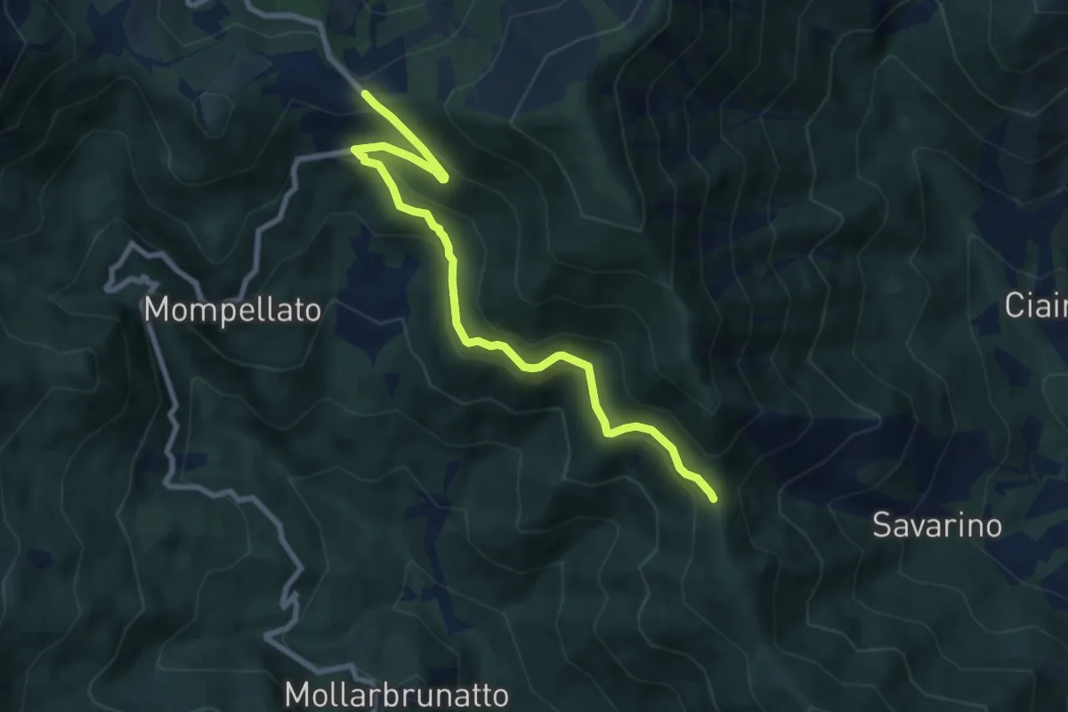
Medium · Trail
Bivio 570-570C, Colle del Lis – Bivio 011-570C, Madonna della Bassa
8.4 km · ↑ 400 m · 2 h 52 min · 9 km away
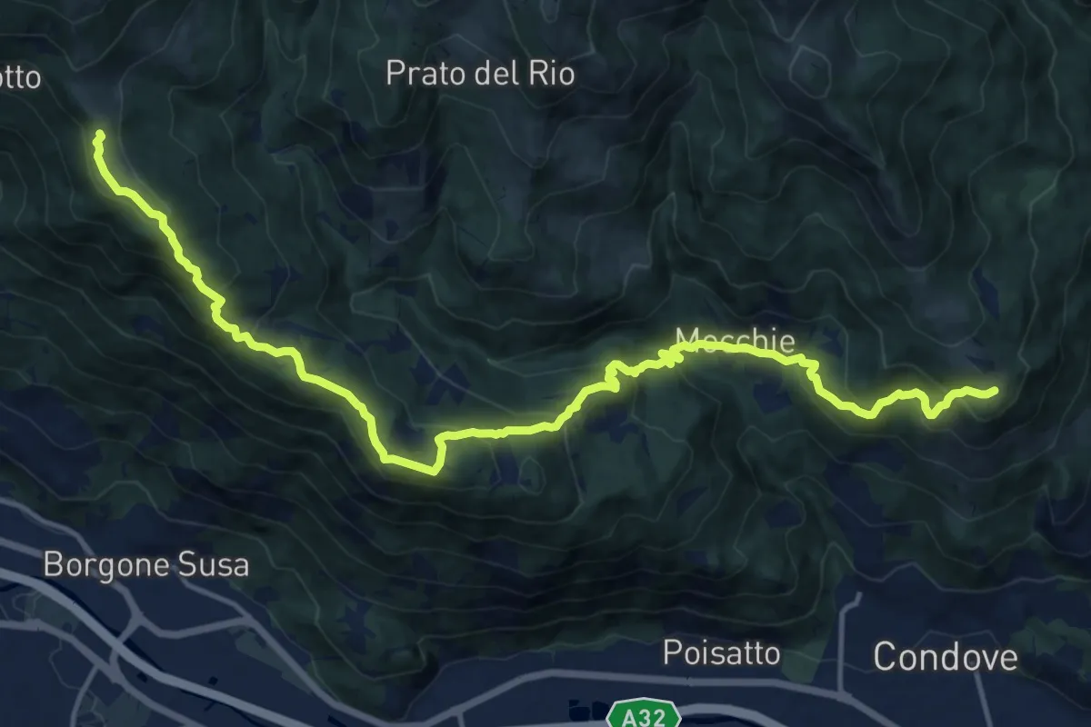
Demanding · Trail
Bivio 548-549, Camporossetto – Bivio 547-548-564, Prarotto
18.1 km · ↑ 969 m · 6 h 22 min · 9 km away
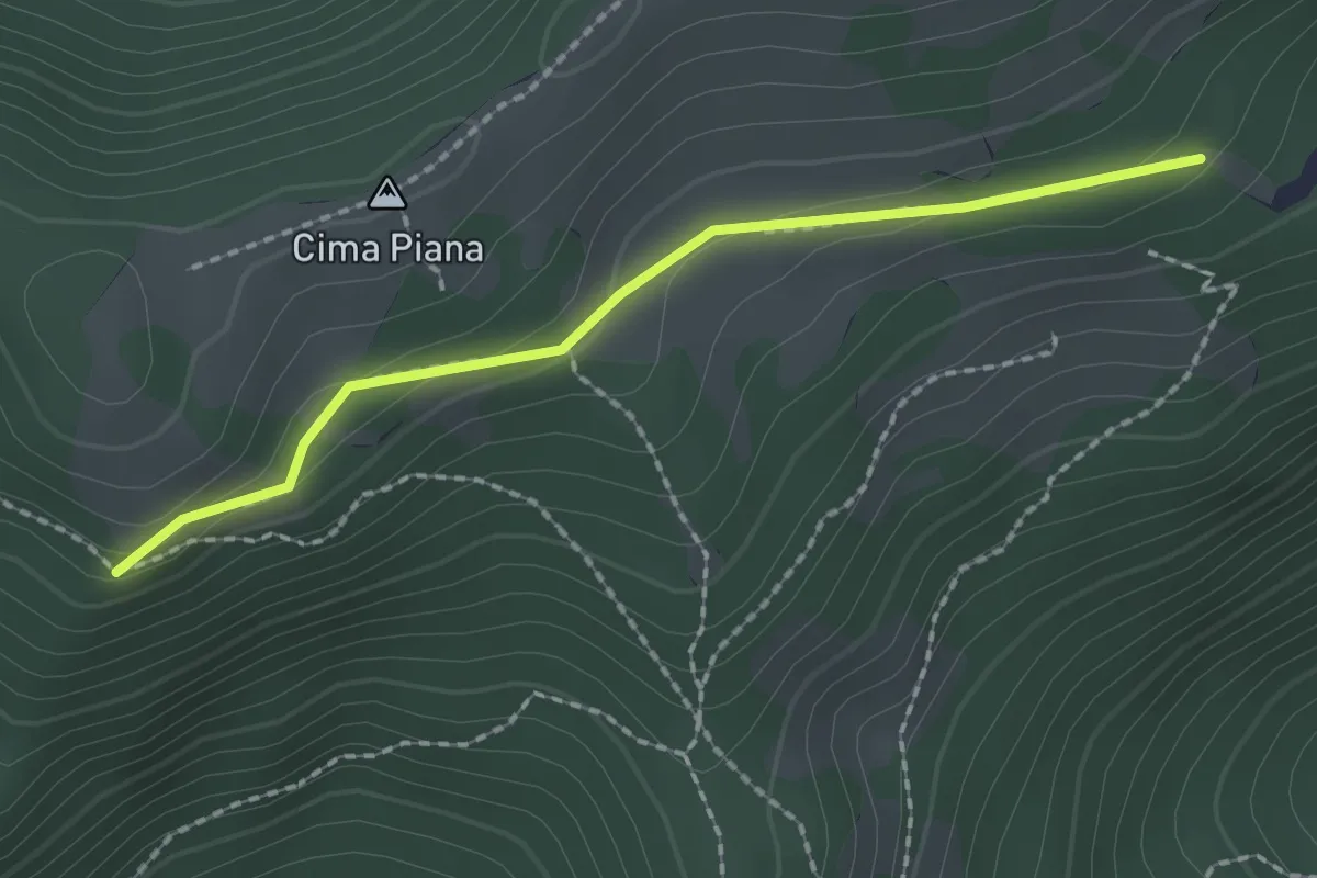
Medium · Trail
Bivio TOS425A-TOS425C, presso presa Brunetto – Bivio TOS425-TOS425C
2.0 km · ↑ 48 m · 34 min · 9 km away
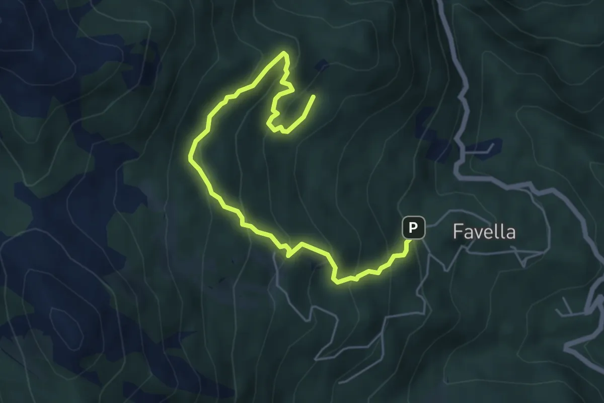
Medium · Trail
Bivio 570-570B, Favella – Bivio 570-570B, Muanda Franchino
6.0 km · ↑ 484 m · 2 h 28 min · 9 km away
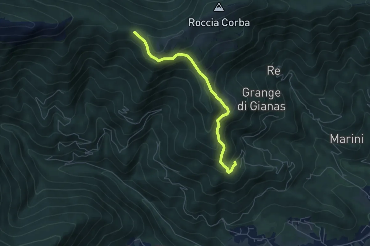
Medium · Trail
Mattonera, Grangia Melia – Bivio 425-435, Colle Bione
5.4 km · ↑ 357 m · 2 h 3 min · 9 km away
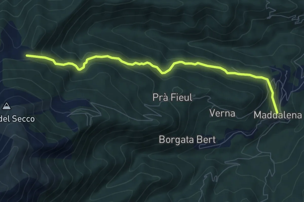
Medium · Trail
Giaveno, Borgata Maddalena – Giaveno, Colletto del Forno, bivio TOS453-TOS413
7.8 km · ↑ 382 m · 2 h 41 min · 9 km away
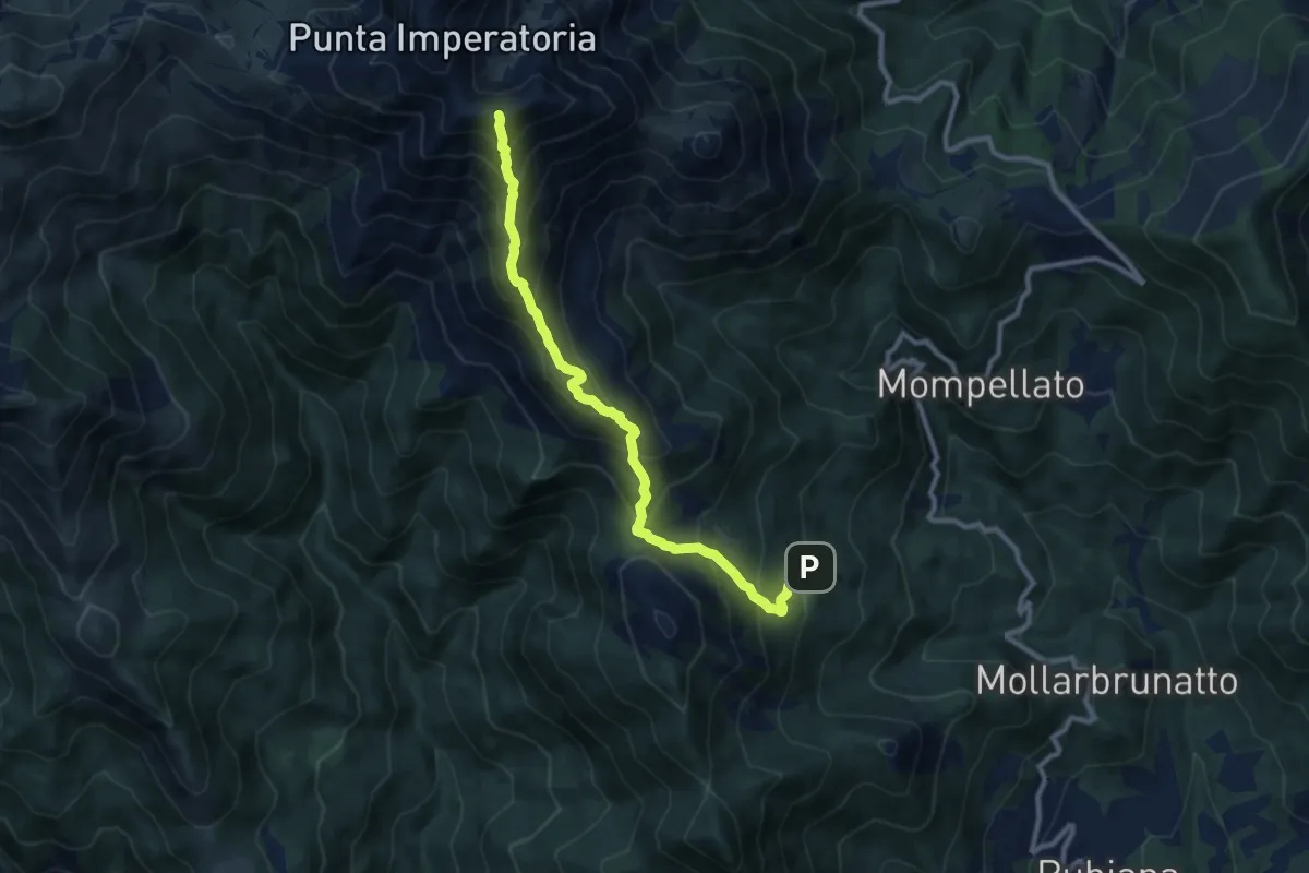
Demanding · Summit
Bivio 570B-577, muande Soffietti – Bivio 573-577, Colletto del Civrari
10.0 km · ↑ 991 m · 4 h 31 min · 9 km away
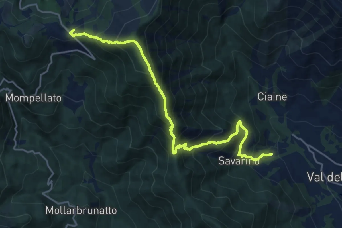
Demanding · Trail
Anello Ceronda - Tappa 3
13.6 km · ↑ 1265 m · 5 h 57 min · 9 km away
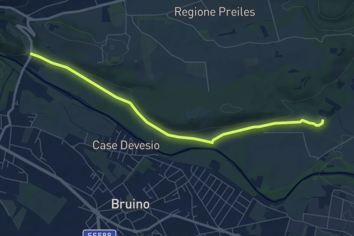
Easy · Trail
Rivalta, bivio TOS202-TOP206 – Sangano, bivio TOS456-TOP206
7.3 km · ↑ 57 m · 1 h 51 min · 9 km away
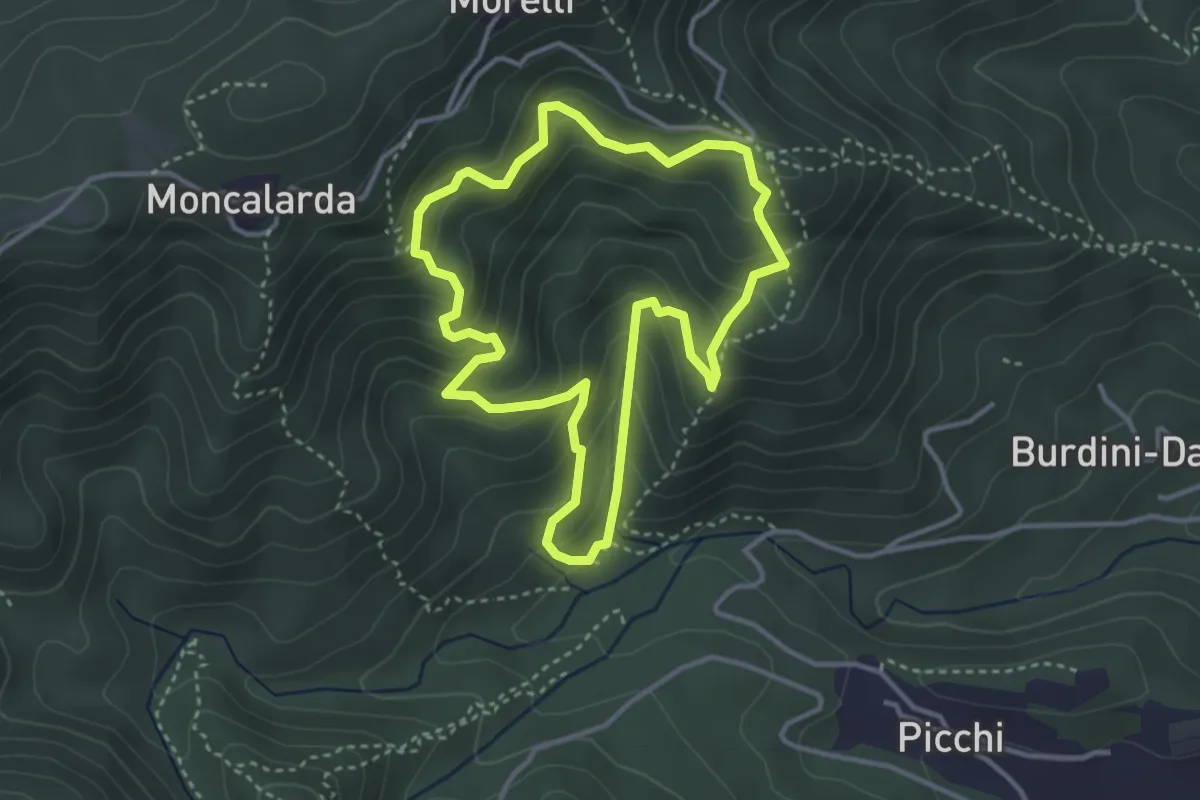
Medium · Trail
Anello Pietre Bianche
3.5 km · ↑ 291 m · 1 h 30 min · 9 km away
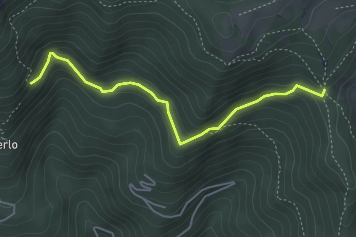
Medium · Trail
Bivio TOS425-TOS425B – Bivio TOS422-TOS425B
3.8 km · ↑ 232 m · 1 h 24 min · 10 km away
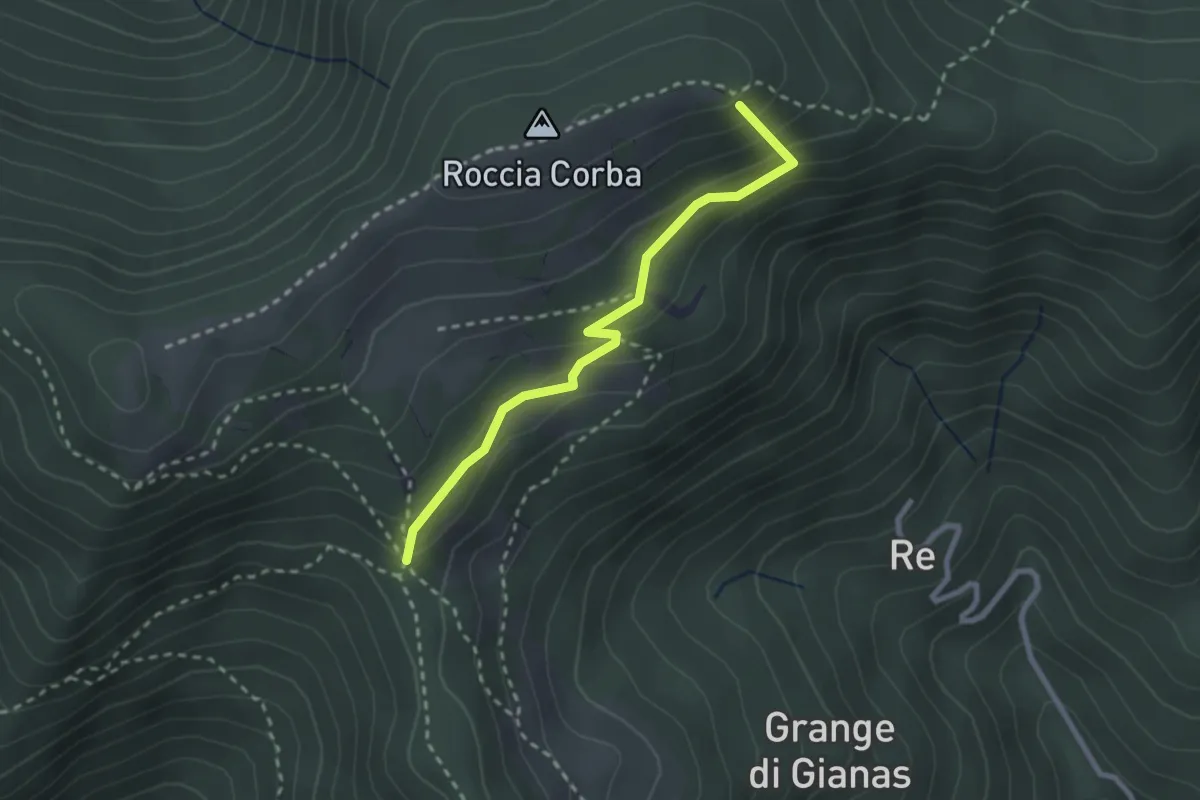
Easy · Summit
Bivio TOS425 - TOS425A – Bivio TOS435 - TOS425A
2.5 km · ↑ 166 m · 57 min · 10 km away
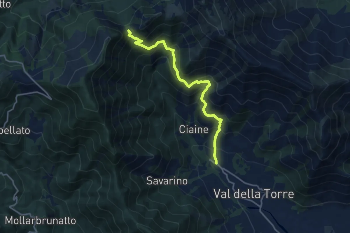
Demanding · Cabin
Val della Torre – Bivio 002-002A-012, Colle Portia
10.7 km · ↑ 832 m · 4 h 20 min · 10 km away
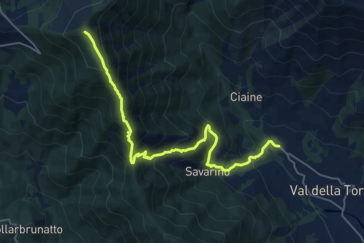
Demanding · Trail
Bivio 001-011, Malandrino – Bivio 002A-011, Monte Arpone
12.4 km · ↑ 1051 m · 5 h 13 min · 10 km away
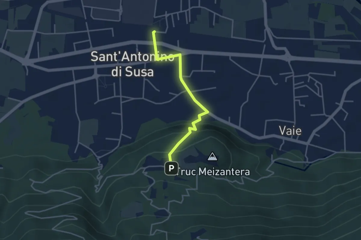
Medium · Trail
S. Antonino (stazione) – S. Antonino di Susa, loc. Cresto, bivio TOS505A-TOS505B
3.2 km · ↑ 162 m · 1 h 6 min · 10 km away
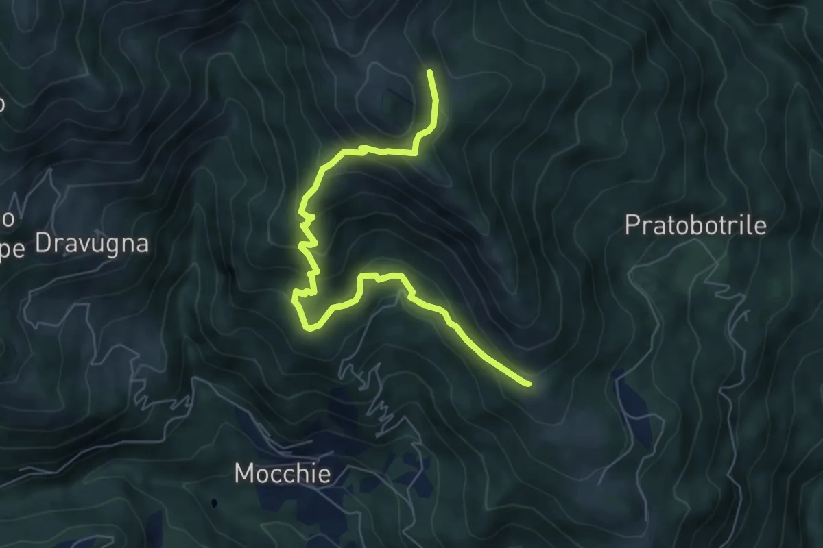
Medium · Trail
Bivio 549-549A, Pilone San Francesco – Bivio 549-549A
7.1 km · ↑ 520 m · 2 h 48 min · 10 km away
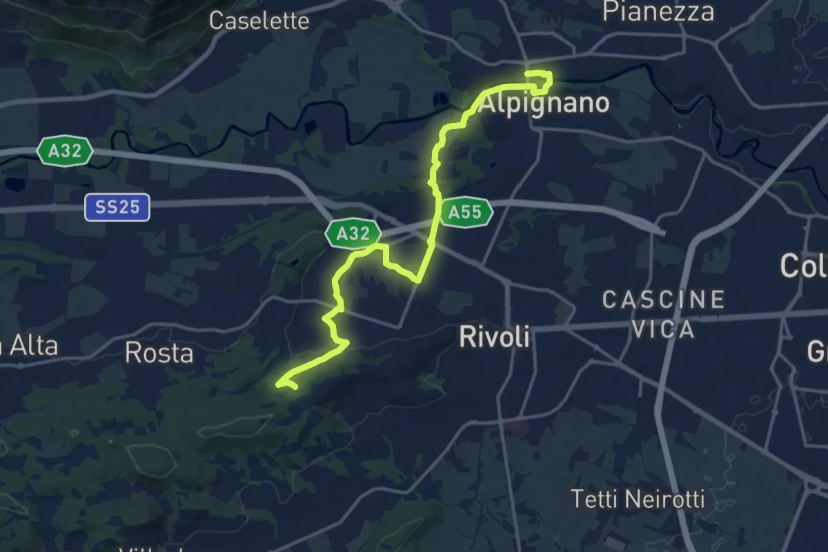
Medium · Trail
Alpignano – Cascina Camandana, bivio TOP201-TOP203
15.9 km · ↑ 218 m · 4 h 14 min · 10 km away
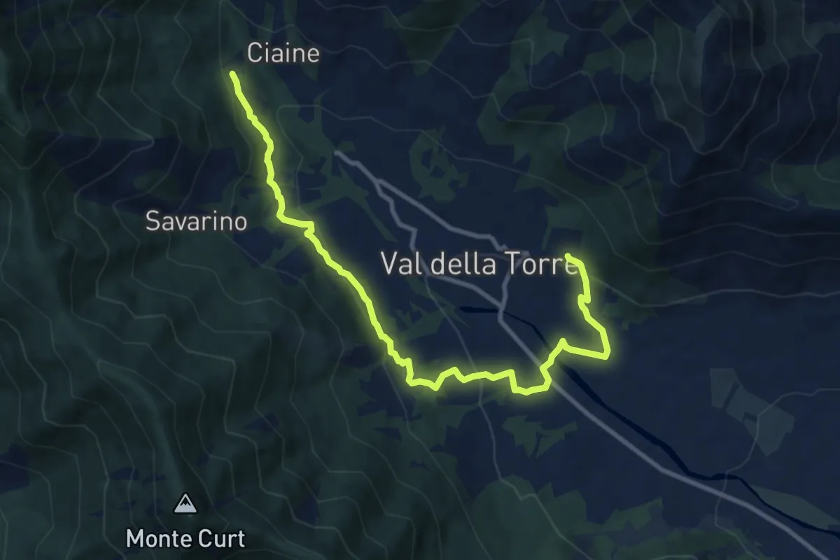
Medium · Trail
Bivio 001-001A, San Donato – Bivio 001-001A, Burlera
10.9 km · ↑ 399 m · 3 h 27 min · 10 km away
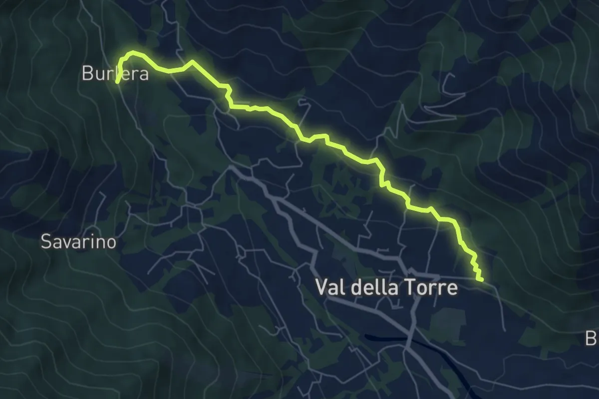
Easy · Trail
Bivio 001-001A, Chiesa San Donato – Bivio 001-001A, Burlera
6.8 km · ↑ 237 m · 2 h 7 min · 10 km away
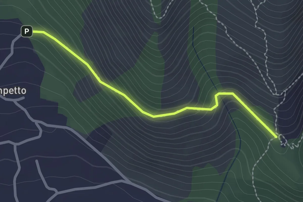
Easy · Trail
Bivio TOP308-TOP307A presso Campetto – Bivio TOP307A-TOP307
2.2 km · ↑ 148 m · 51 min · 10 km away
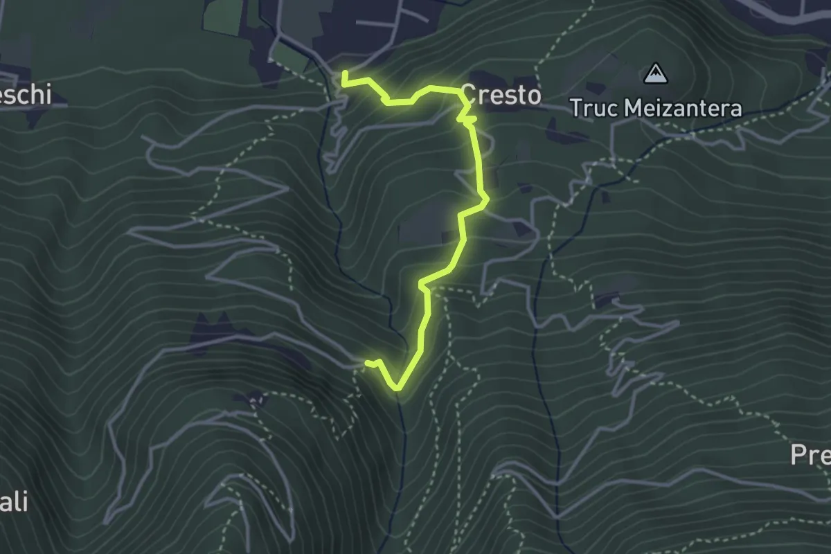
Medium · Trail
Località Maisonetta, bivio TOS505-TOS505A – Località Couloumbata, bivio TOS505-TOS505A
3.2 km · ↑ 300 m · 1 h 24 min · 10 km away
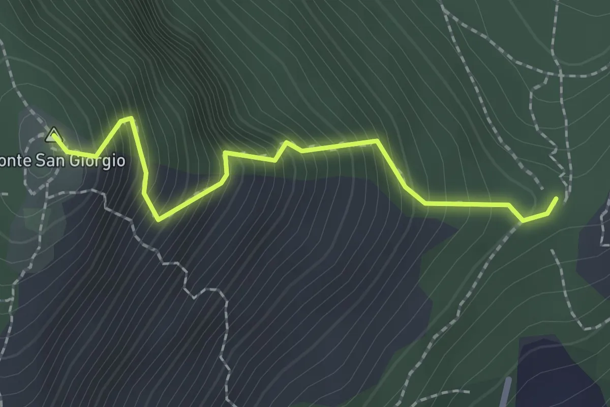
Demanding · Summit
Bivio TOP304-TOP305 – Monte San Giorgio, bivio TOP304-TOP305
2.0 km · ↑ 374 m · 1 h 17 min · 10 km away
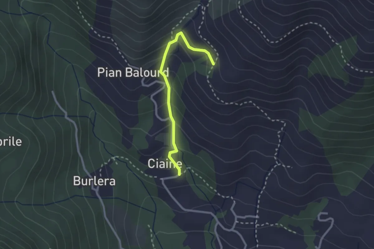
Medium · Trail
Bivio 001-002B, Ciaine – Bivio 002-002B, Case Fontanabruna
2.2 km · ↑ 194 m · 56 min · 10 km away
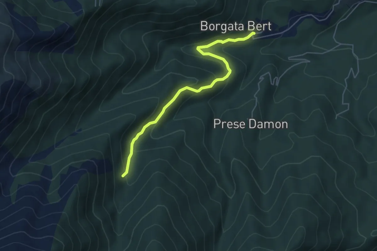
Easy · Trail
Balangero – Bivio 409-410
5.0 km · ↑ 312 m · 1 h 51 min · 10 km away
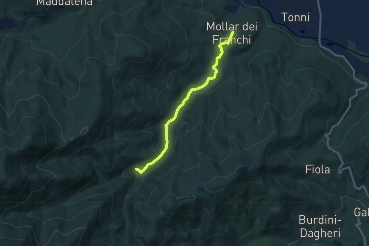
Easy · Trail
Giaveno, Mollar dei Franchi – Case Galletto, bivio TOS450-TOS452-TOS452A
6.4 km · ↑ 164 m · 1 h 52 min · 10 km away
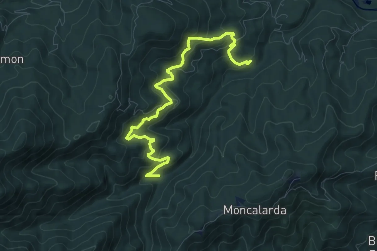
Medium · Trail
Bivio TOS452-TOS452A presso Borgata Gentina – Case Galletto, bivio TOS450-TOS452-TOS452A
10.1 km · ↑ 661 m · 3 h 49 min · 10 km away
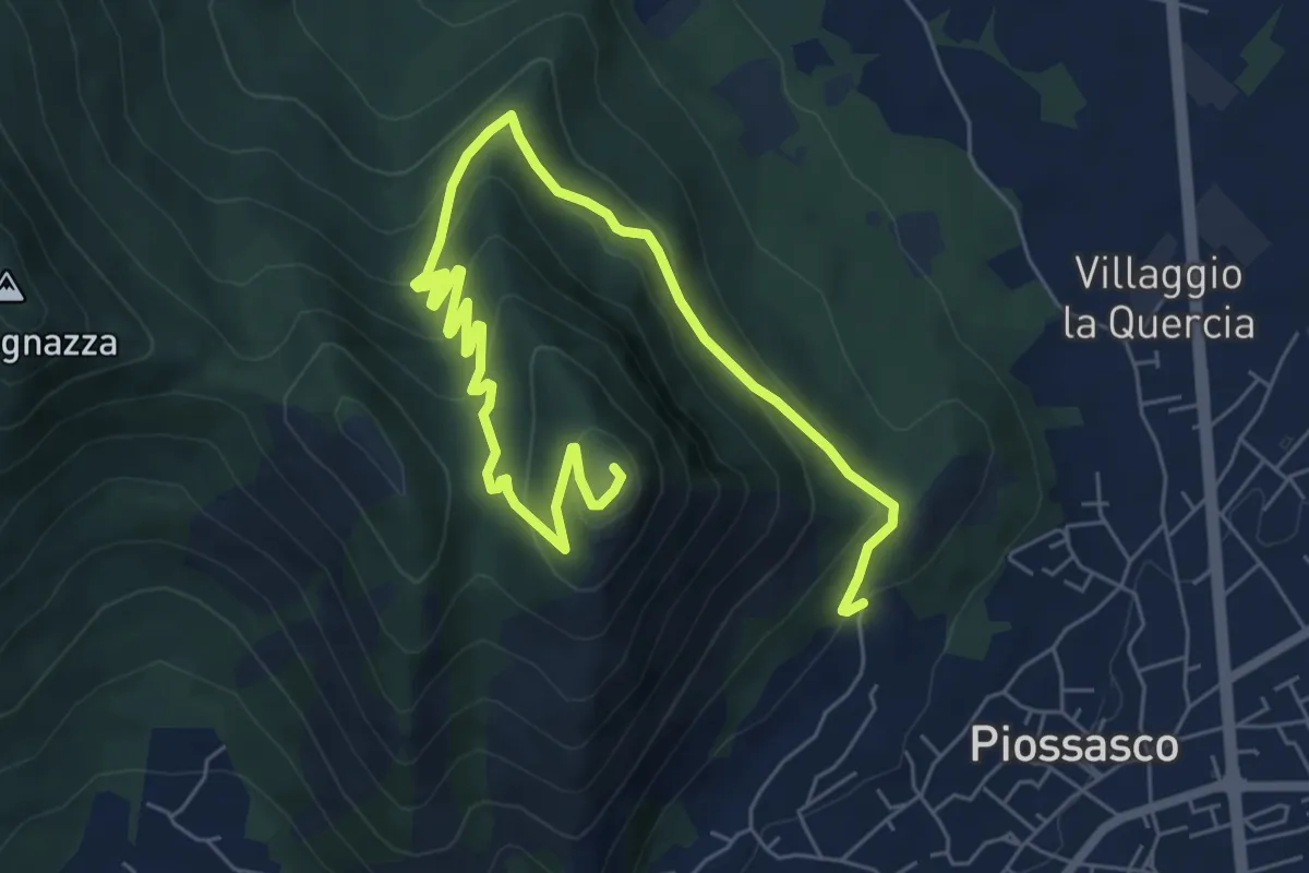
Medium · Summit
Cà Dorina – Bivio TOP304-TOP305, Monte San Giorgio
9.1 km · ↑ 466 m · 3 h 10 min · 10 km away
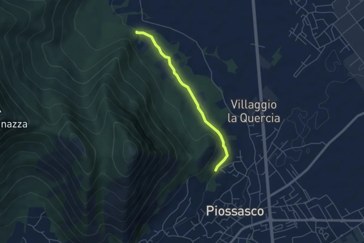
Easy · Trail
Sbarra della strada della cava, bivio TOP301-TOP302 – Strada bianca per frazione Galli, bivio TOP301-TOP303
4.2 km · ↑ 54 m · 1 h 7 min · 10 km away
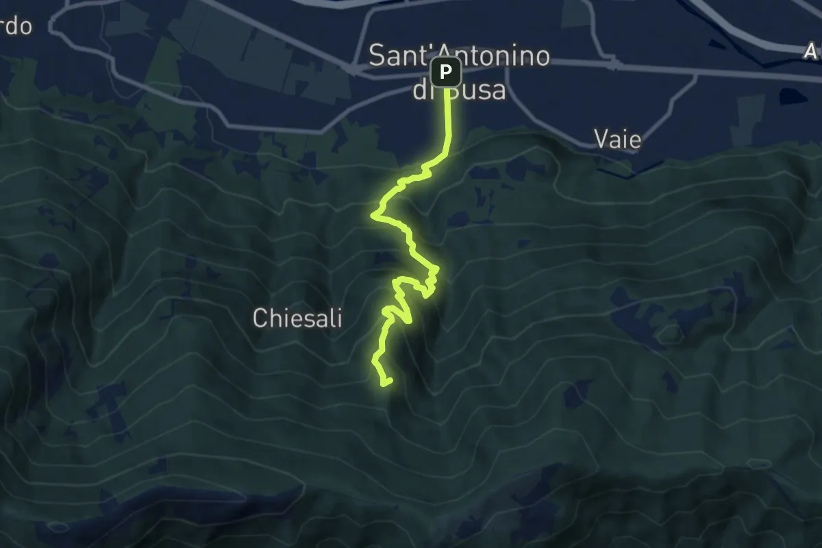
Medium · Summit
Sant'Antonino – Colle Bione
8.6 km · ↑ 794 m · 3 h 45 min · 10 km away
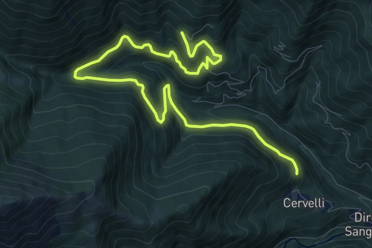
Medium · Trail
Borgata Giovalera, bivio TOS418-TOS420B – Bivio TOS420-TOS420B presso Borgata Tonda
13.2 km · ↑ 681 m · 4 h 35 min · 11 km away
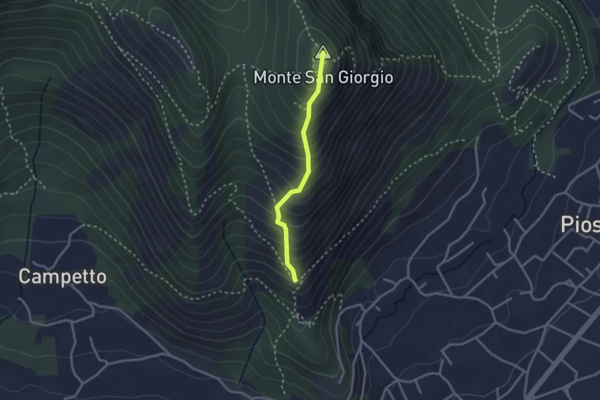
Medium · Summit
Piazza San Vito – Monte San Giorgio, bivio TOP304-TOP306
2.1 km · ↑ 314 m · 1 h 11 min · 11 km away
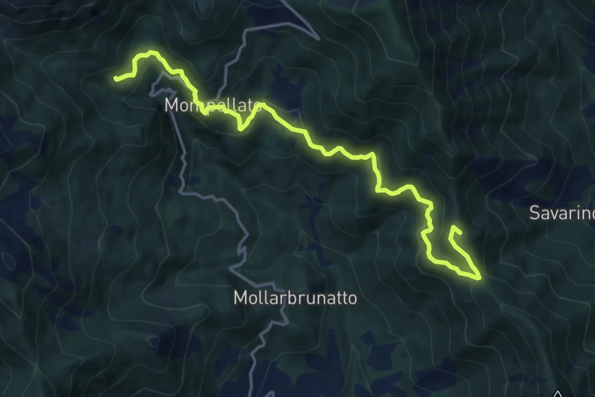
Demanding · Summit
Bivio 011-580, Bassa della Val – Bivio 570-580, Riva
13.8 km · ↑ 869 m · 5 h 9 min · 11 km away