Trails near Avigliana
181 hikes starting within 15 km, nearest first.
Nearest first, page 3 of 4
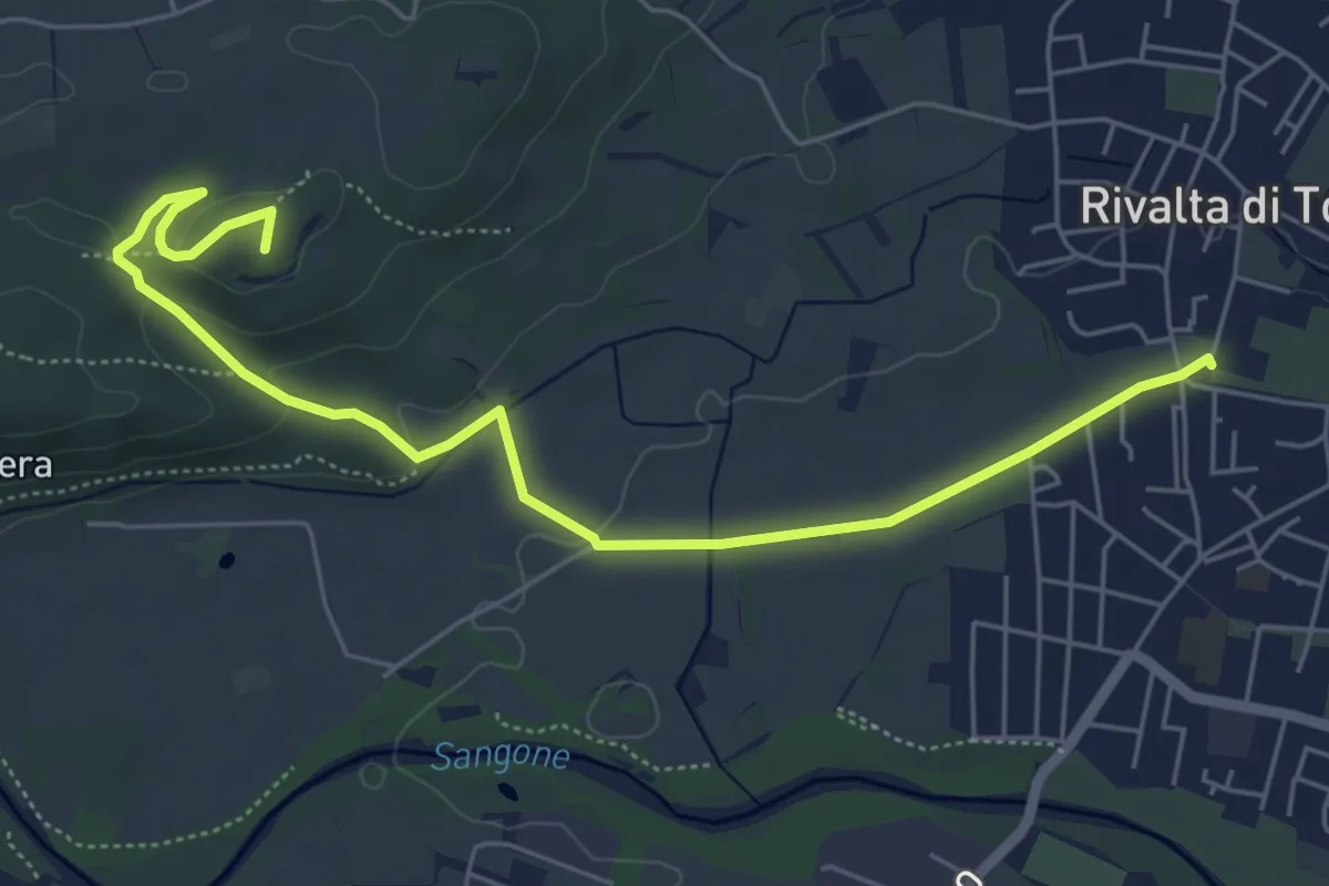
Medium · Summit
Rivalta – Cascina Camandana, bivio TOP201-TOP203
6.7 km · ↑ 104 m · 1 h 48 min · 11 km away
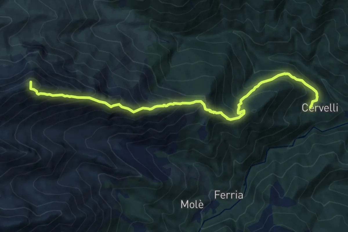
Demanding · Summit
Borgata Cervelli – Bivio 415B-418
14.7 km · ↑ 1520 m · 6 h 46 min · 11 km away
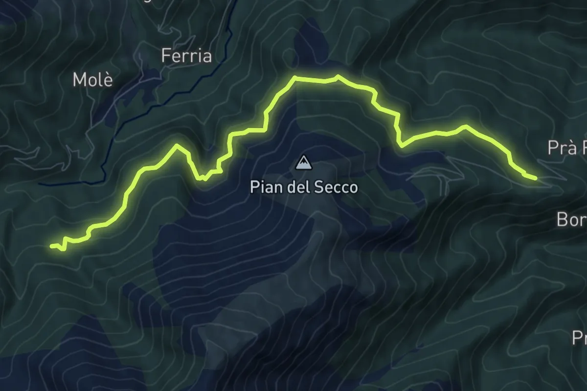
Medium · Trail
Giaveno, Borgata Pra Fieul, località Presa del Luj – Rio Comba Secca, bivio TOS413-TOS414
10.8 km · ↑ 493 m · 3 h 38 min · 11 km away
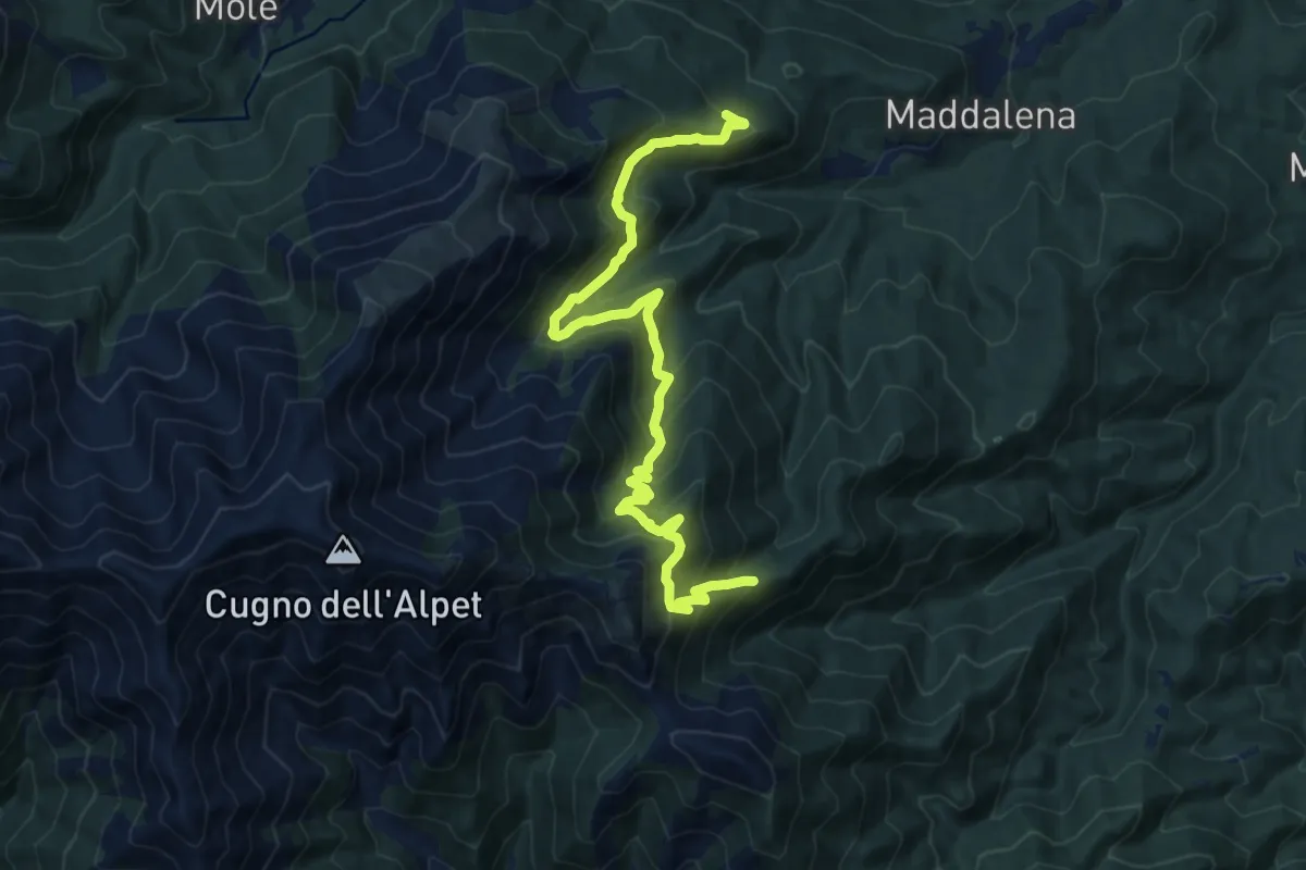
Demanding · Trail
Strada Maddalena - Prese del LuJ, bivio TOS413 – Bivio 408 - 407
15.4 km · ↑ 1148 m · 6 h 8 min · 11 km away
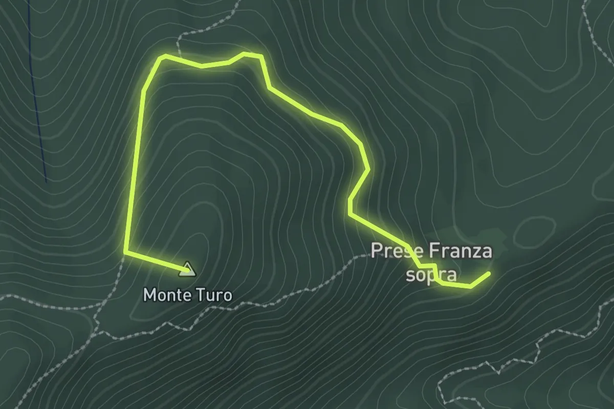
Medium · Summit
Prese della Franza sopra – Bivio TOS408-TOS409
3.1 km · ↑ 271 m · 1 h 20 min · 11 km away
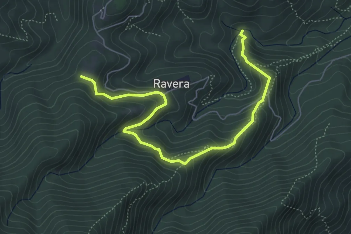
Medium · Trail
Ponte Magnina, bivio TOS009-TOS004 – Pian delle Benne, bivio TOS005-TOS008
6.2 km · ↑ 413 m · 2 h 22 min · 11 km away
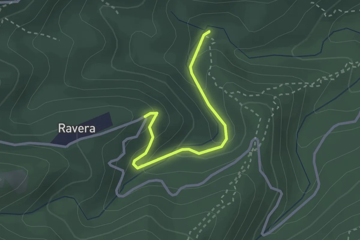
Easy · Trail
Ponte Magnina, bivio TOS004A-TOS004 – Strada Loc Borgata Ravera
2.3 km · ↑ 142 m · 52 min · 11 km away
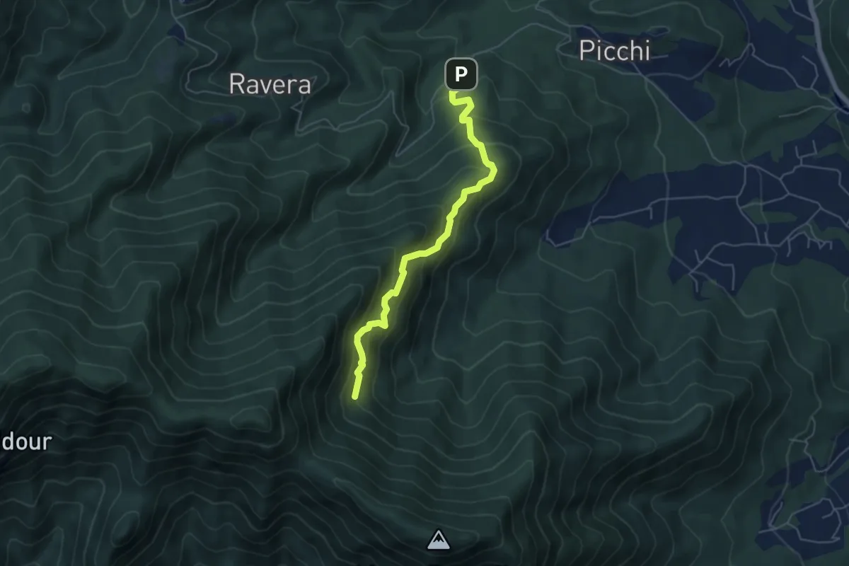
Medium · Trail
Strada Ravera presso vasca AIB – Fontana del Prete, bivio TOS002
5.2 km · ↑ 525 m · 2 h 22 min · 11 km away
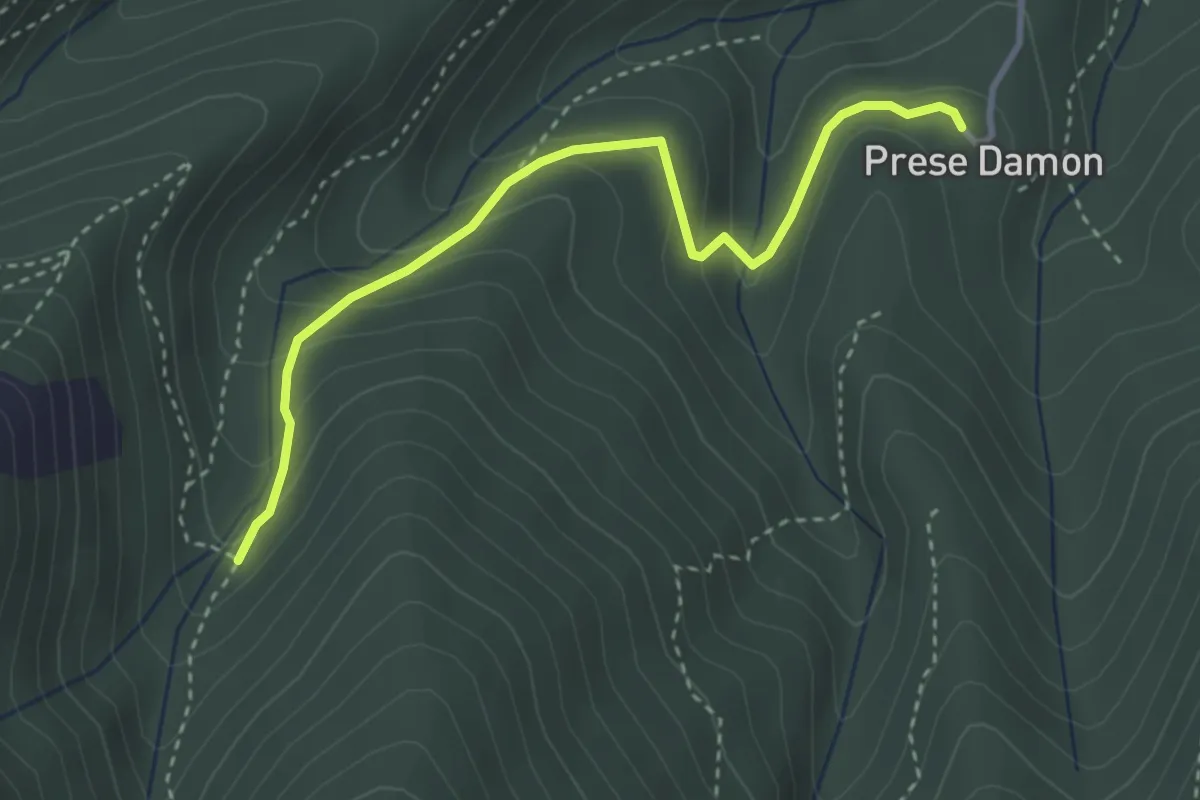
Easy · Trail
Giaveno, Prese Damon, Bivio TOS408 – Bivio TOS408A-TOS409
3.5 km · ↑ 216 m · 1 h 17 min · 11 km away
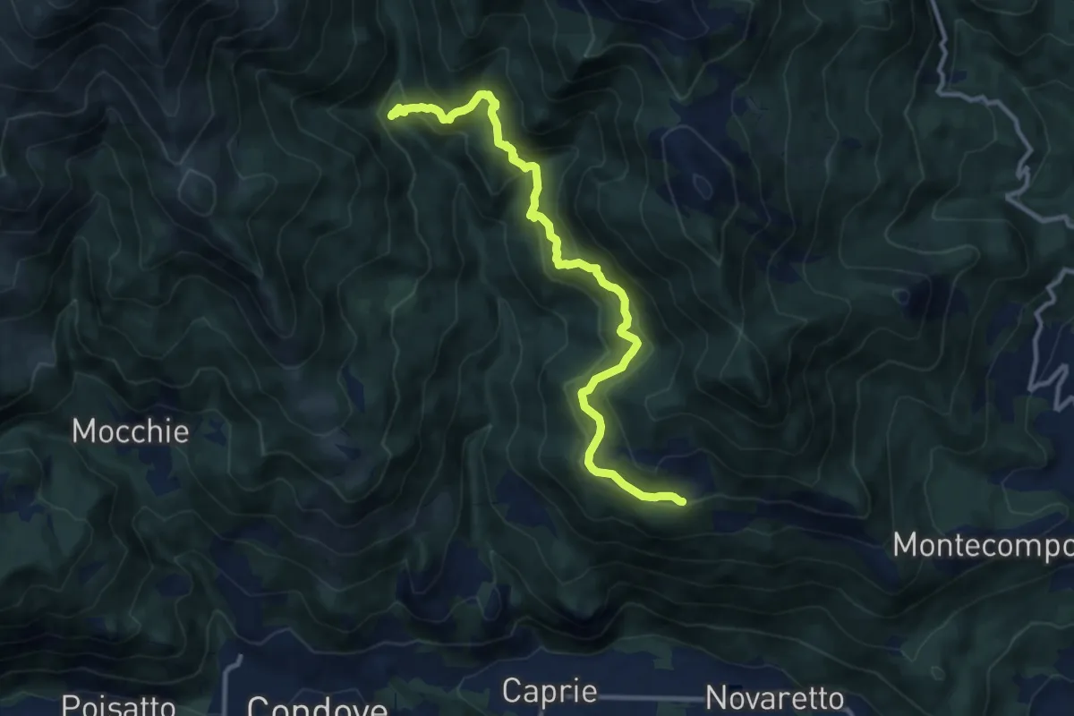
Medium · Cabin
Bivio 552-553, ponte sul Sessi – Bivio 553-571, Celle
11.5 km · ↑ 682 m · 4 h 12 min · 11 km away
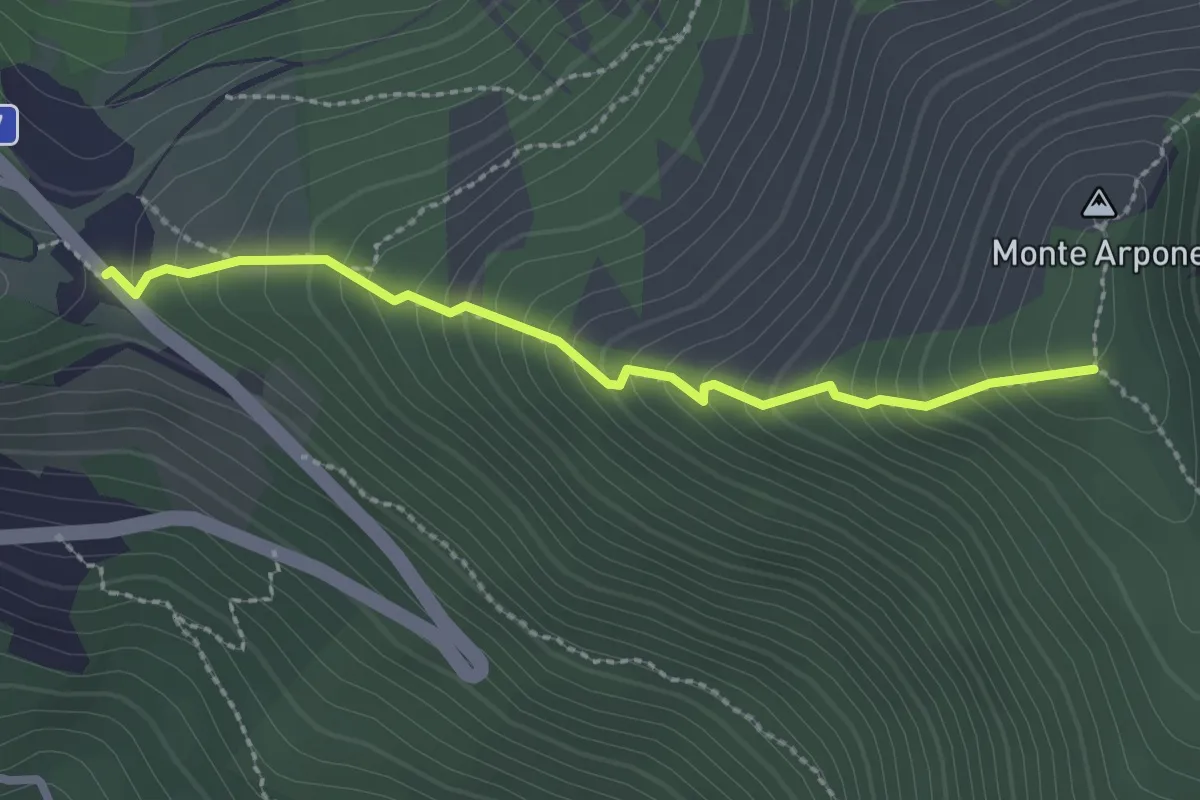
Medium · Trail
Bivio 102B-570-570C-570D, Colle del Lis – Bivio 002A-011-570D, Monte Arpone
2.5 km · ↑ 272 m · 1 h 10 min · 11 km away
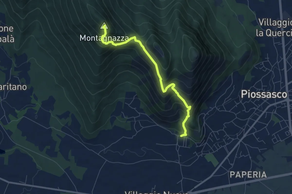
Medium · Summit
Bivio TOP306-TOP308, località Martignone – Bivio TOP307-TOS450 presso Colletto di Damone
7.0 km · ↑ 576 m · 2 h 55 min · 11 km away
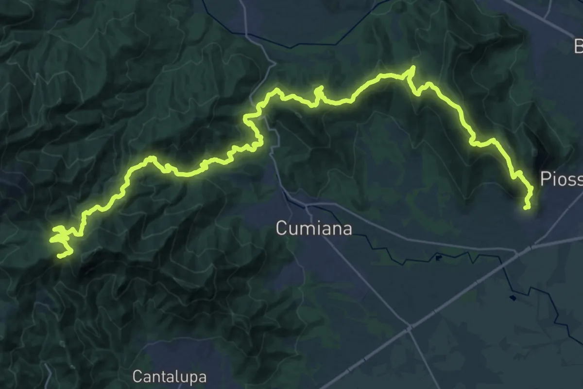
Demanding · Summit
Sentiero David Bertrand
48.3 km · ↑ 2704 m · 17 h 15 min · 11 km away
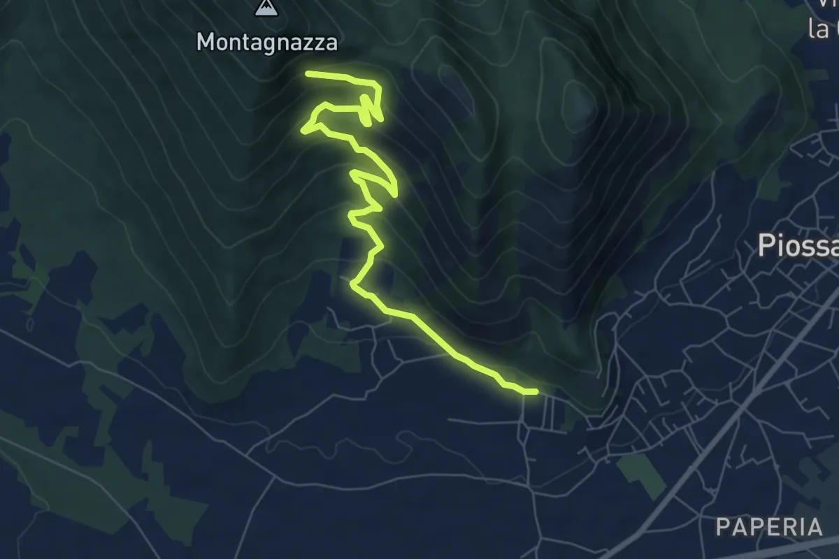
Medium · Trail
Casa Martignona, bivio TOP307-TOP308 – Colle di Prè, bivio TOP307-TOP308
8.2 km · ↑ 396 m · 2 h 47 min · 11 km away
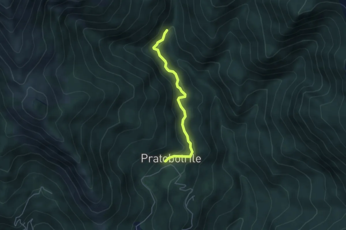
Medium · Trail
Bivio 552-552A – Bivio 552A-569, Pratobotrile
4.1 km · ↑ 189 m · 1 h 22 min · 11 km away
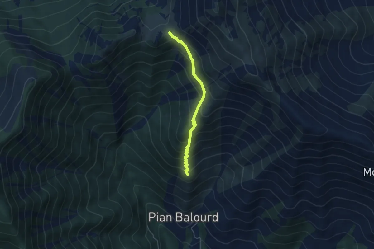
Medium · Trail
Bivio 002-003, Muanda Piantegrandi – Bivio 003-003A-012, Colle Lunella
4.1 km · ↑ 402 m · 1 h 50 min · 11 km away
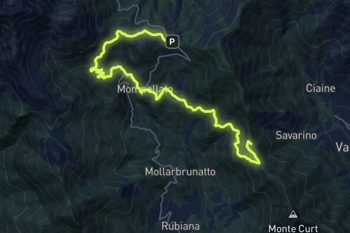
Demanding · Summit
Anello Ceronda - Tappa 3 variante Mompellato
21.8 km · ↑ 1201 m · 7 h 45 min · 11 km away
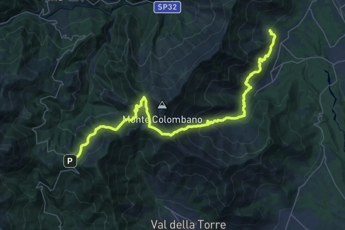
Medium · Trail
Anello Ceronda - Tappa 2
16.1 km · ↑ 763 m · 6 h 1 min · 11 km away
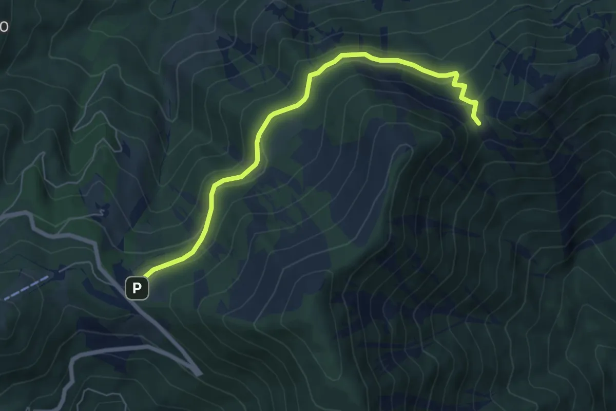
Easy · Cabin
Bivio 102B-570, Colle del Lys – Bivio 002-012-102B, Colle Portia
6.5 km · ↑ 293 m · 2 h 10 min · 11 km away
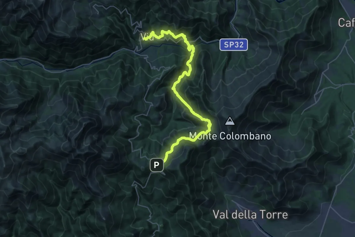
Medium · Trail
Sentieri della Resistenza - Tappa 05
15.1 km · ↑ 537 m · 5 h 12 min · 11 km away
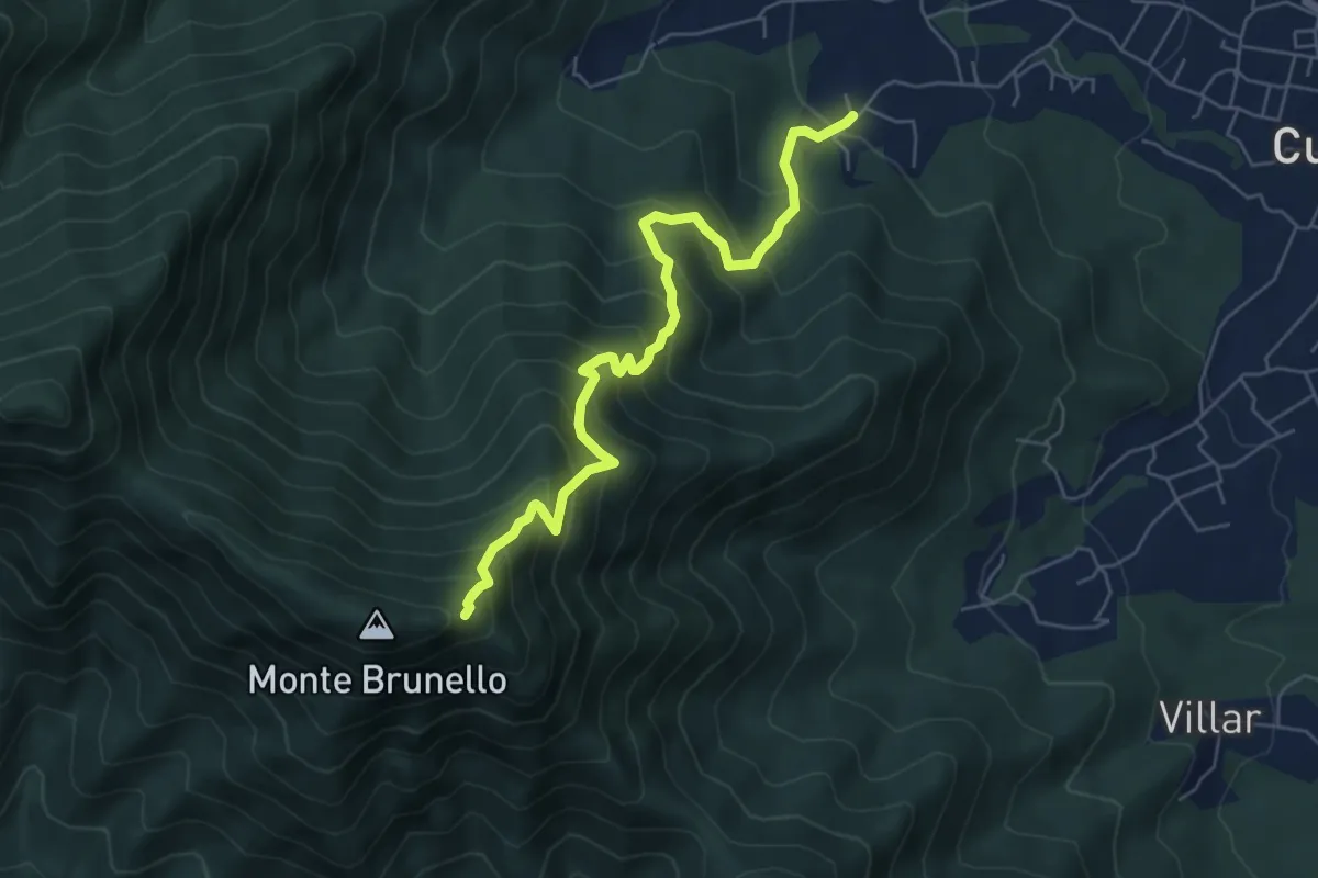
Medium · Trail
Oreglia, Bivio Porta – Bivio TOS021-TOS001
6.4 km · ↑ 722 m · 3 h 4 min · 11 km away
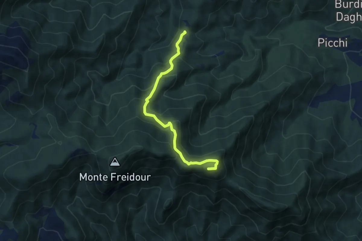
Demanding · Summit
Bastianoni, bivio TOS005-TOS009 – bivio TOS005-TOS002
7.7 km · ↑ 598 m · 3 h 7 min · 11 km away
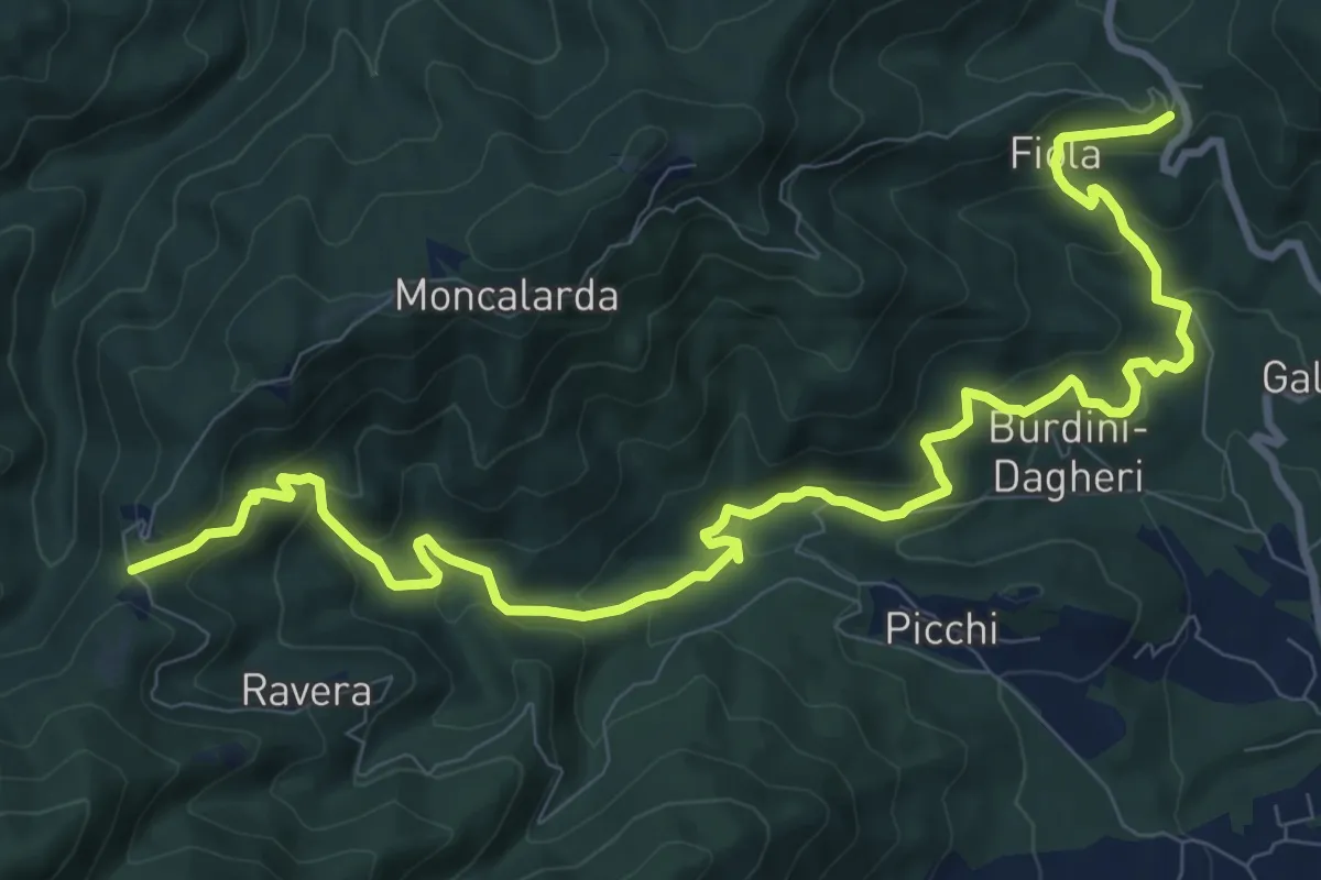
Medium · Trail
Colletta di Cumiana, bivio TOS009-TOS45 – Bastianoni, bivio TOS005-TOS009
12.9 km · ↑ 704 m · 4 h 34 min · 11 km away
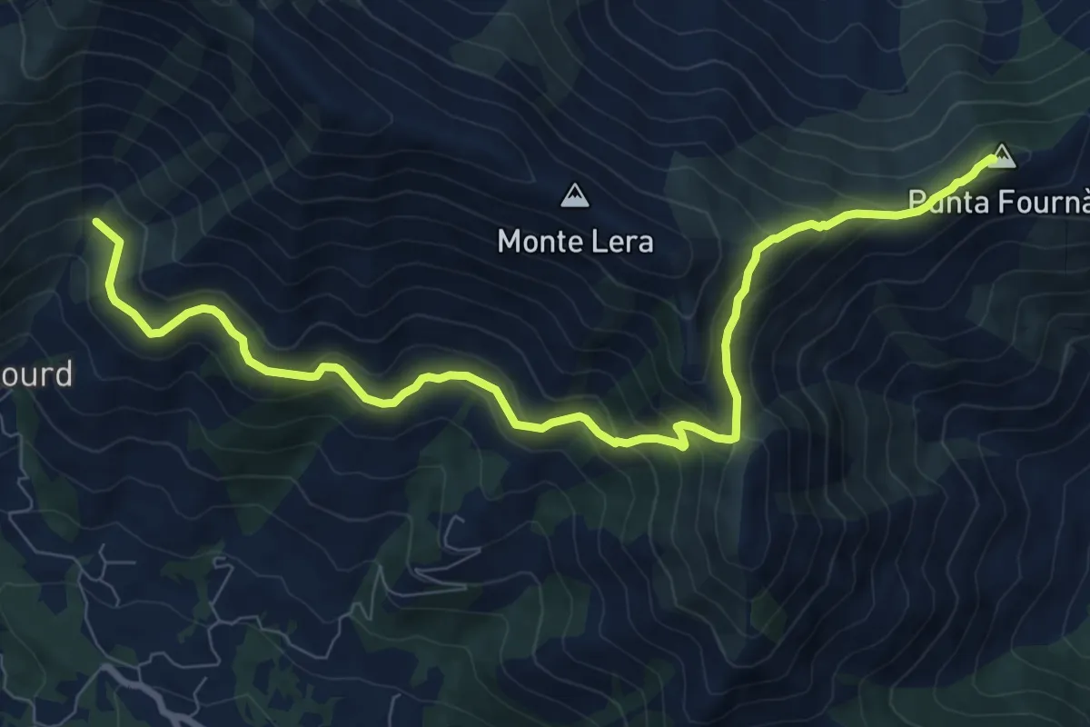
Demanding · Summit
Bivio 002-010, Case Fontanabruna – Punta Fournà
10.4 km · ↑ 623 m · 3 h 48 min · 11 km away
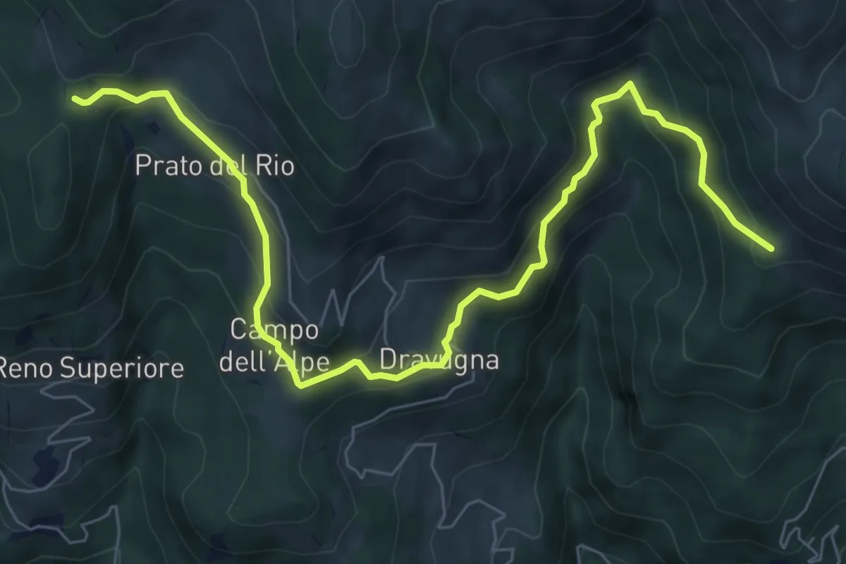
Medium · Trail
Bivio 550-567, Prato del Rio – Bivio 550-549A, pilone San Francesco
8.7 km · ↑ 564 m · 3 h 17 min · 11 km away
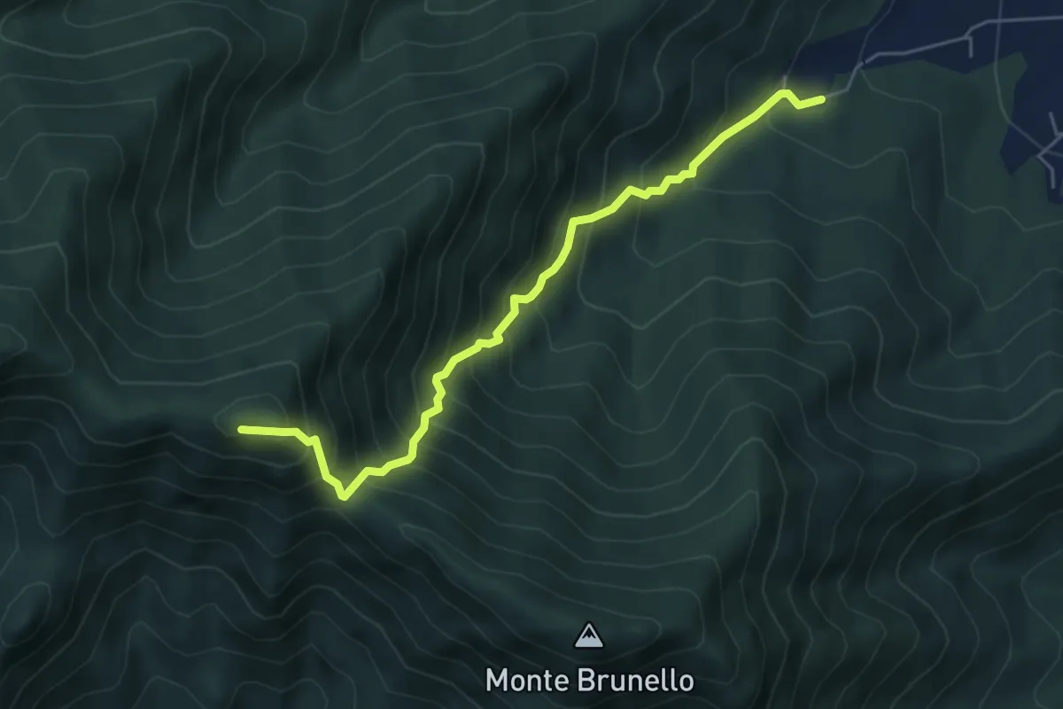
Demanding · Summit
Ciom, bivio TOS002-TOS001A – MonteTre Denti orientale, Cappella
5.5 km · ↑ 746 m · 2 h 55 min · 11 km away
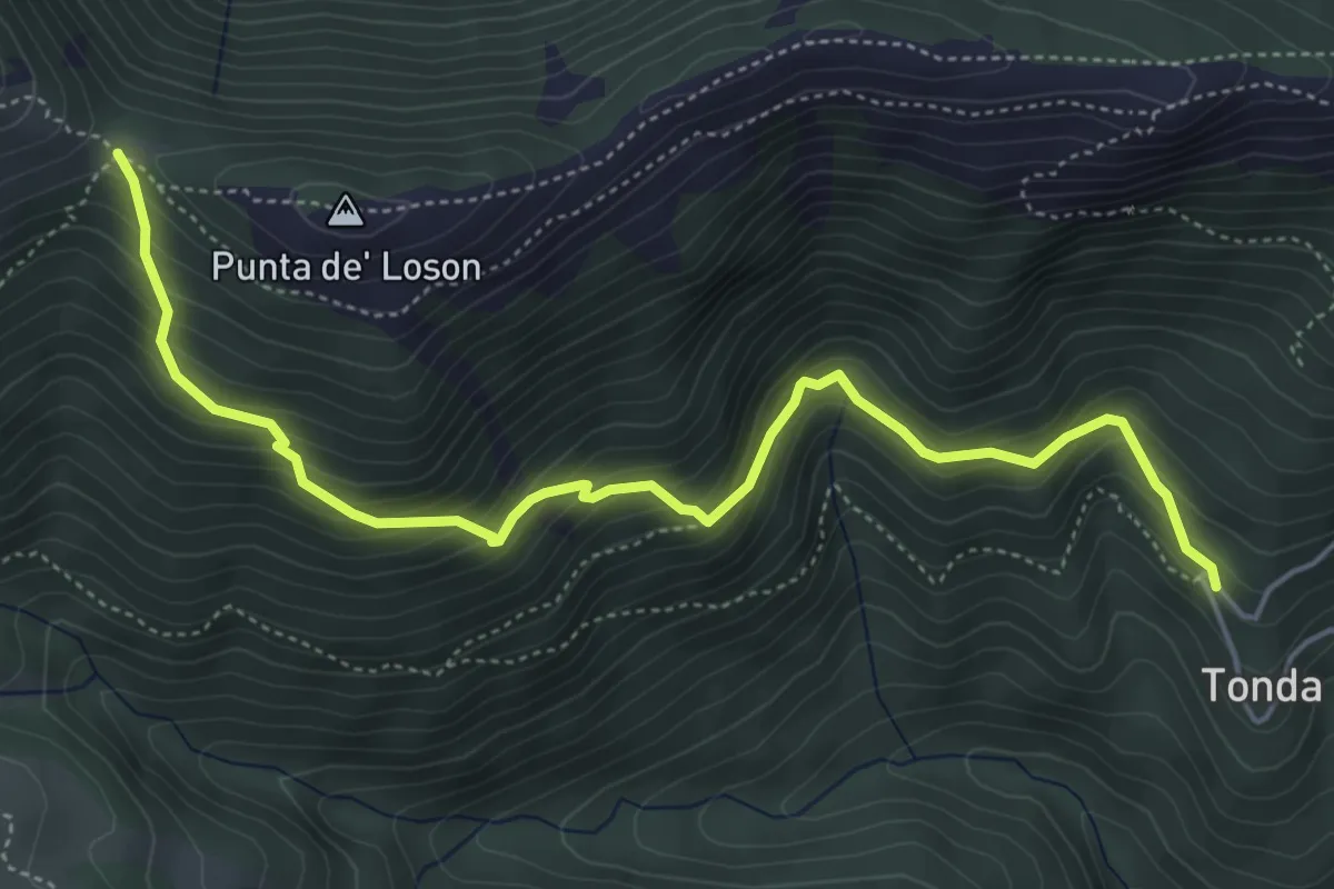
Medium · Trail
Coazze, Borgata Tonda, bivio TOS420-TOS446 – Coazze, Colle Ben Mulè, bivio TOS420A-TOS435-TOS446
5.8 km · ↑ 515 m · 2 h 29 min · 11 km away
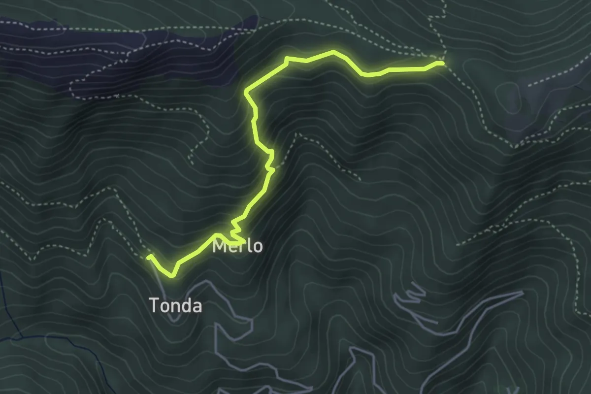
Medium · Trail
Coazze, Borgata Tonda, bivio TOS420-TOS422 – Colle Bione, bivio TOS435-TOS422-TOS505
4.3 km · ↑ 332 m · 1 h 45 min · 11 km away
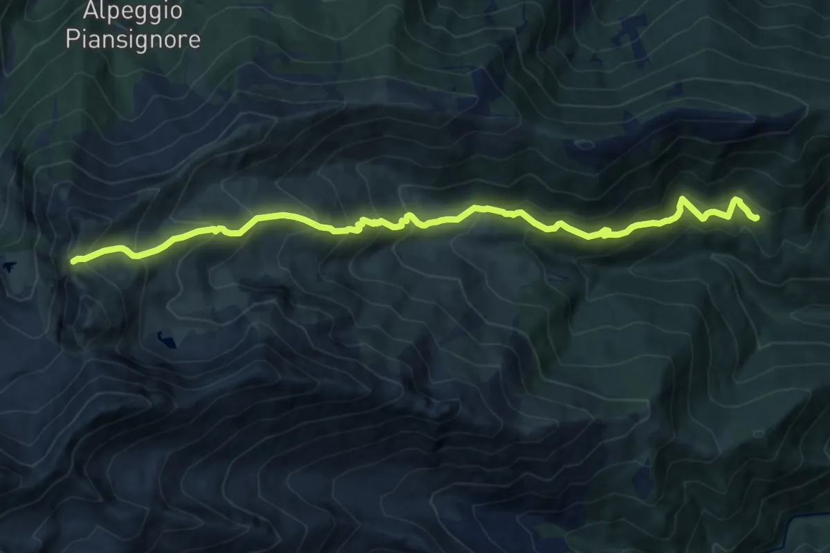
Demanding · Trail
Coazze, Borgata Tonda, bivio TOS420-TOS446 – Colle del Vento, bivio TOS420-TOS444-TOS506
14.2 km · ↑ 1295 m · 6 h 9 min · 11 km away
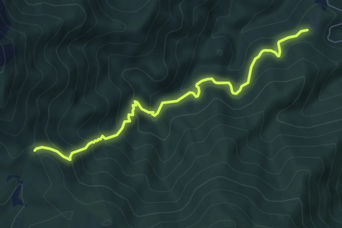
Medium · Trail
Pian delle Benne, bivio TOS004-TOS005-TOS008 – Bivio TOS008-TOS450, Colle Ceresera
6.9 km · ↑ 598 m · 2 h 56 min · 12 km away
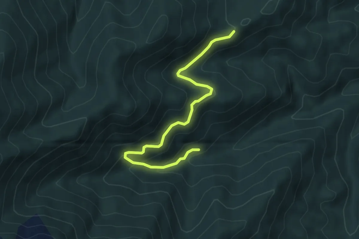
Medium · Trail
Giaveno, Case Merlera – Prese della Franza sopra, bivio TOS406-TOS407
5.4 km · ↑ 345 m · 2 h 1 min · 12 km away
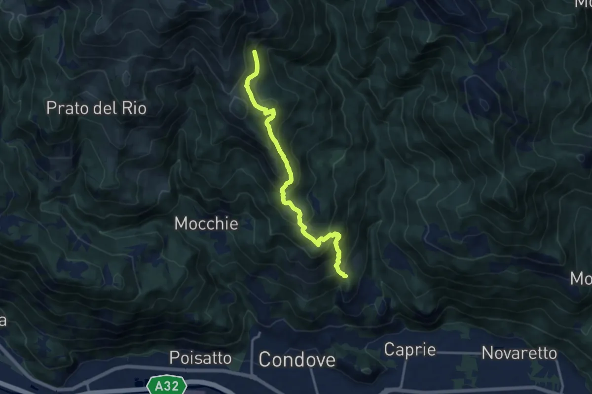
Medium · Trail
Bivio 549-569, borgata Sigliodo inferiore – Bivio 549-569, Alpe Salto del Bue
10.6 km · ↑ 766 m · 4 h 10 min · 12 km away
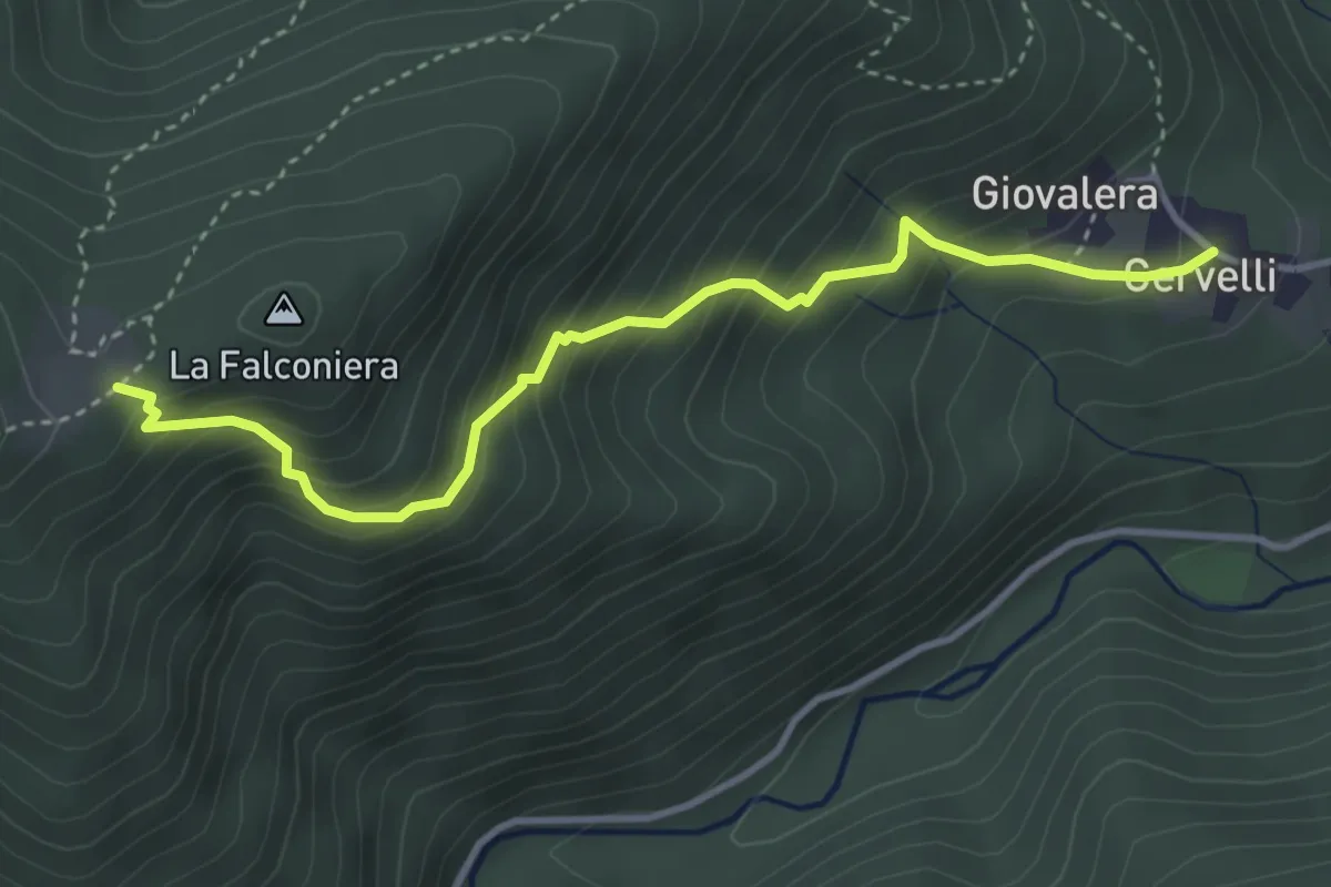
Medium · Trail
Cervelli di Coazze (Bivio 418) – Ciargiur (Bivio 418)
3.9 km · ↑ 431 m · 1 h 52 min · 12 km away
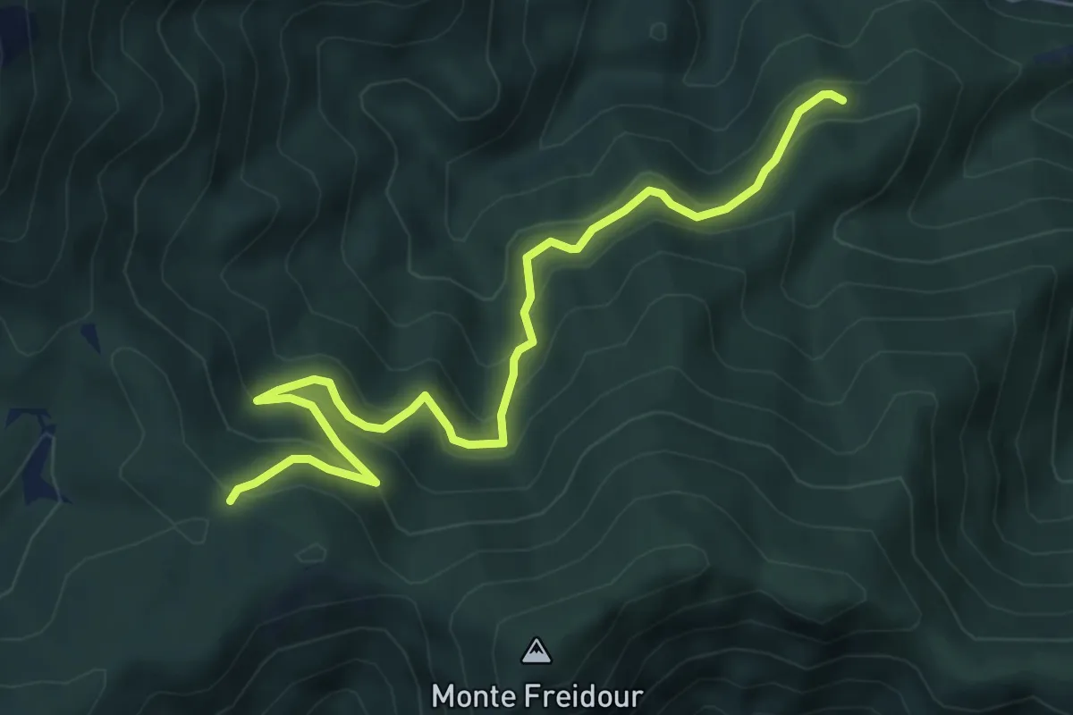
Medium · Trail
Località Pian di Chele, bivio TOS005-TOS006 – Colle Prà l'Abbà
6.9 km · ↑ 466 m · 2 h 38 min · 12 km away
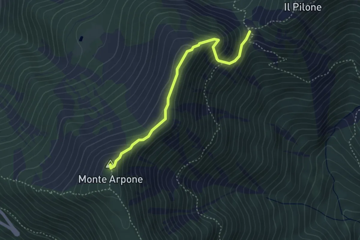
Demanding · Summit
Bivio 002-102B, Colle Portia – Bivio 002A-011-570D, Monte Arpone
3.9 km · ↑ 290 m · 1 h 33 min · 12 km away
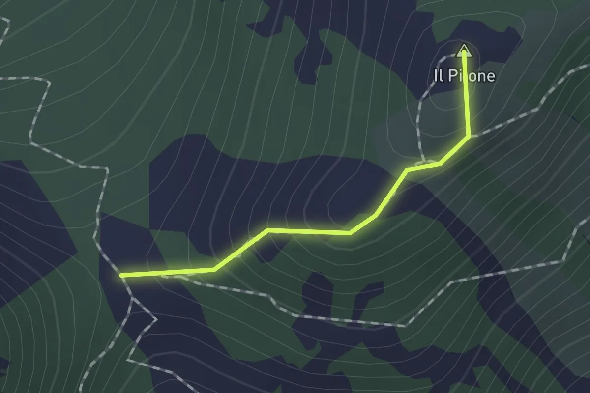
Medium · Summit
Bivio 002-012, Colle Portia – Bivio 003-003A-012, Colle Lunella
1.2 km · ↑ 99 m · 29 min · 12 km away
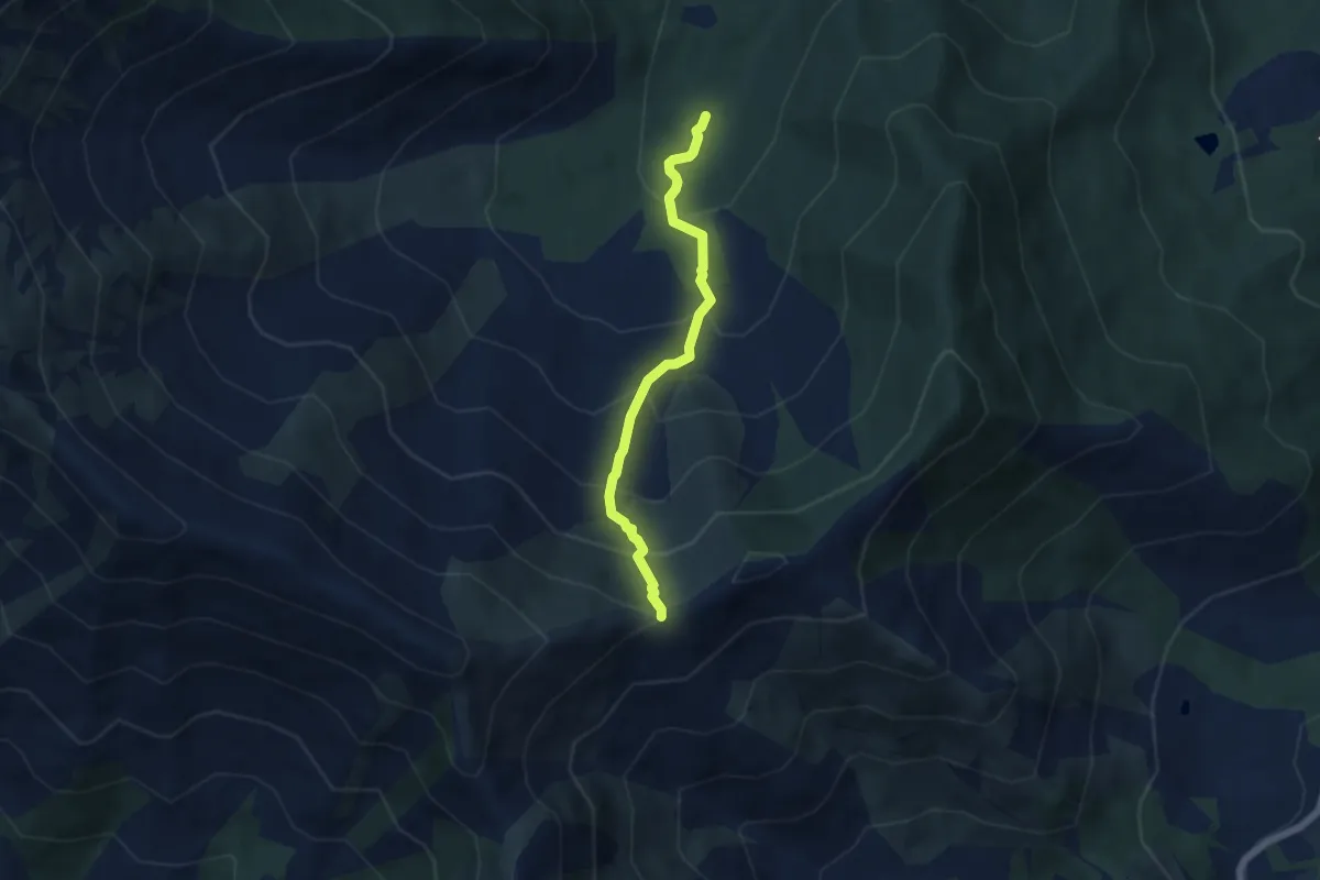
Medium · Trail
040-043-045, Area Camper – Bivio 010-043, Madonna della Neve
5.1 km · ↑ 532 m · 2 h 21 min · 13 km away
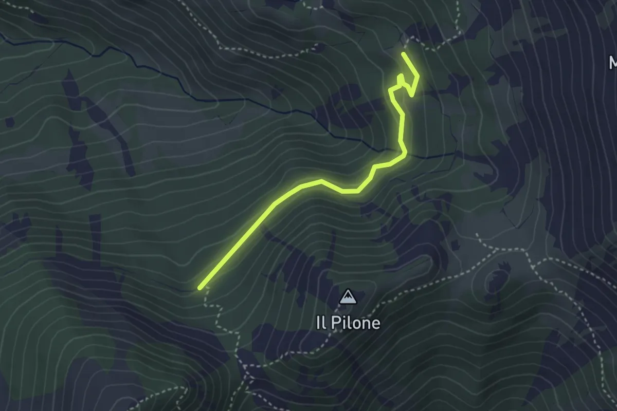
Easy · Cabin
Bivio 102-102C, San Vito – Bivio 102B-102C
3.3 km · ↑ 175 m · 1 h 10 min · 13 km away
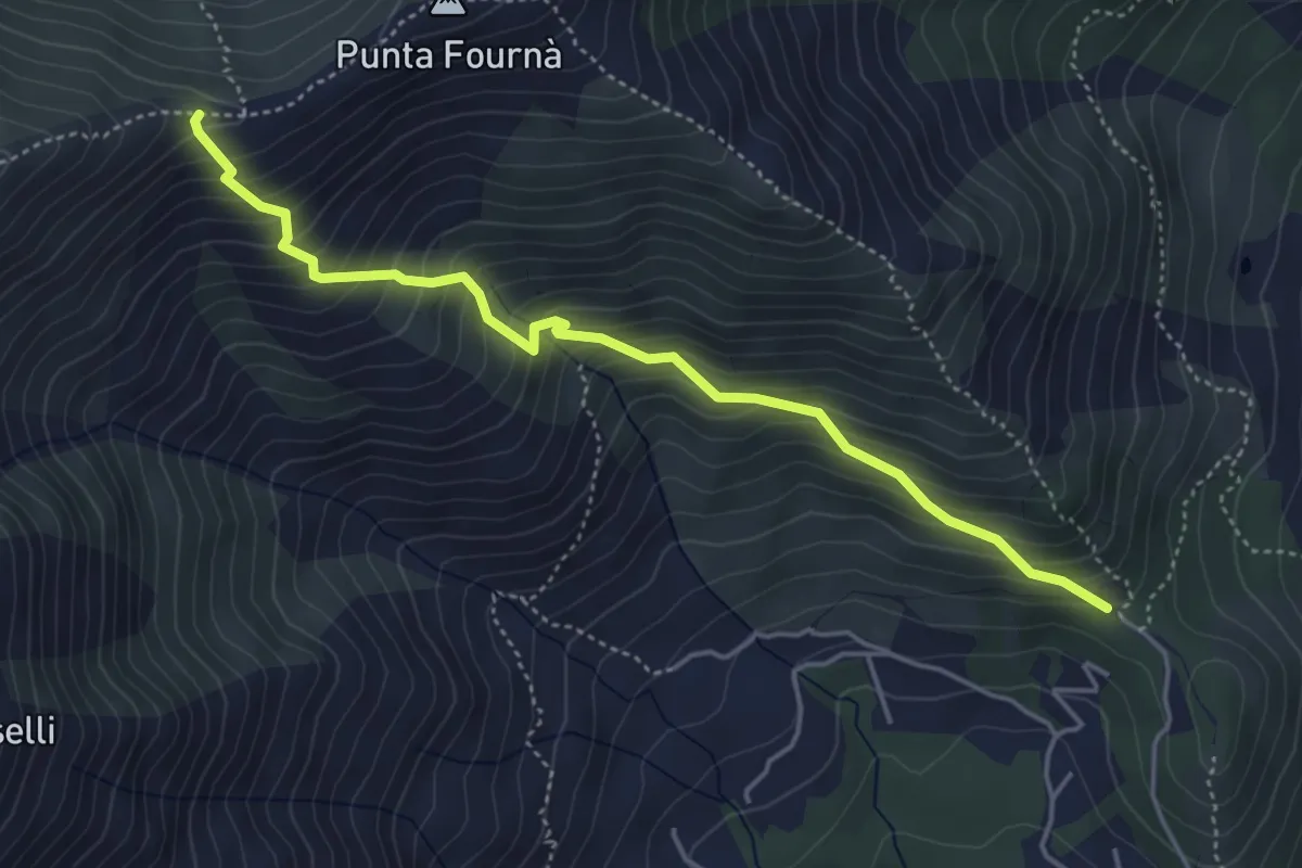
Medium · Trail
Bivio 010A-010C, Monte Castello – Bivio 010C-043, Madonna della Neve
4.8 km · ↑ 559 m · 2 h 20 min · 13 km away
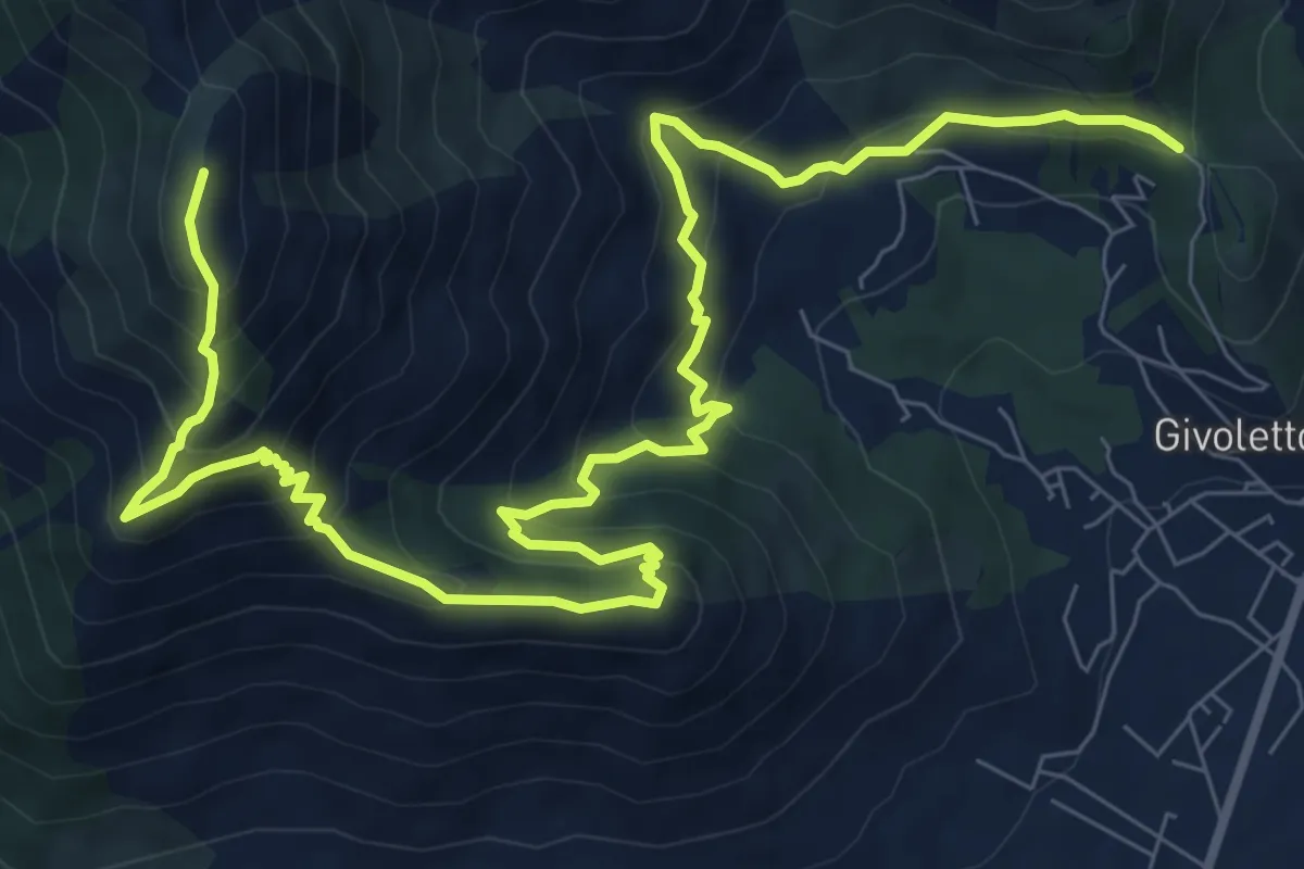
Demanding · Summit
Bivio 010-010A, Bassa delle Sette – Bivio 005A-010A, Monte Castello
12.9 km · ↑ 1101 m · 5 h 26 min · 13 km away
Demanding · Trail
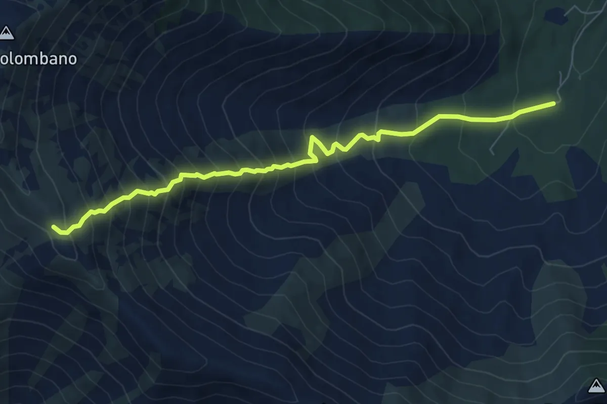
Bivio 043-048, Area Camper – Bivio 003A-048, Bal Masché
7.4 km · ↑ 943 m · 3 h 47 min · 13 km away
Medium · Summit
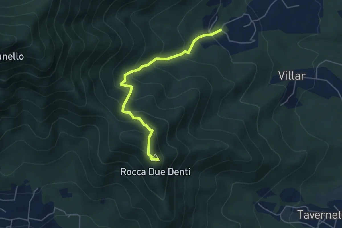
San Gervasio Superiore – Rocca Due Denti
4.1 km · ↑ 410 m · 1 h 52 min · 13 km away
Medium · Cabin
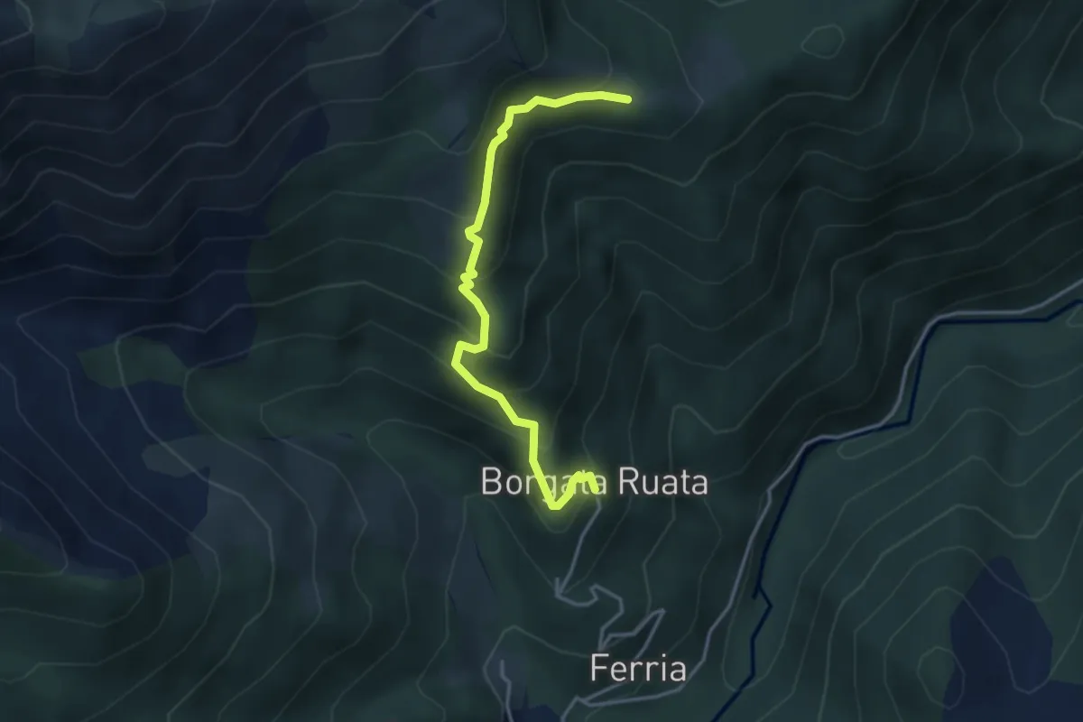
Forno di Coazze, Borgata Rualla – Forno di Coazze, Borgata Ciargiur di Mezzo, Rifugio Coazze
3.7 km · ↑ 340 m · 1 h 37 min · 13 km away
Easy · Summit
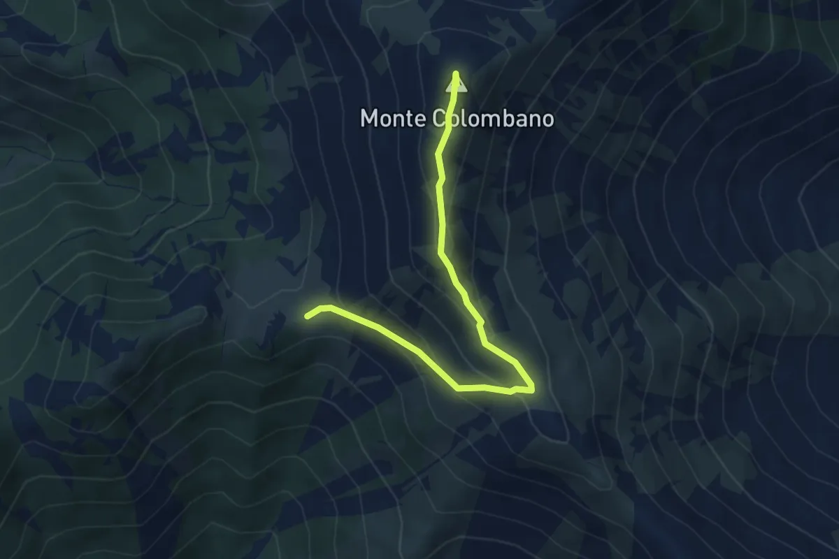
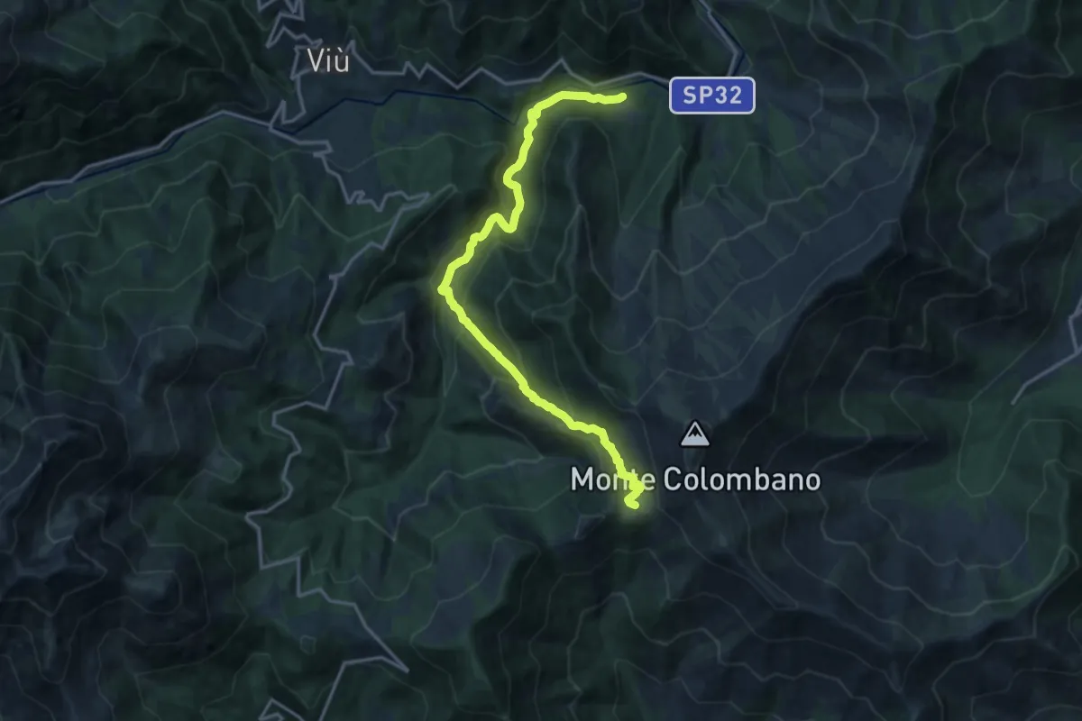
Bivio 003-003A-012, Colle Lunella – Monte Colombano
4.8 km · ↑ 267 m · 1 h 42 min · 13 km away
Demanding · Trail
Bivio 102-102D, Molar del Lupo – Bivio 012-102, Colle Lunella
16.6 km · ↑ 939 m · 5 h 57 min · 13 km away
Easy · Summit
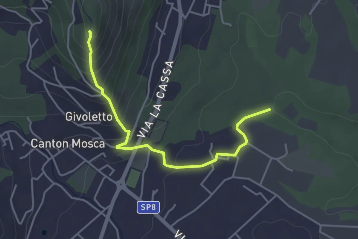
Bivio 005-005A, Forvilla – Bivio 005-005A, Givoletto
3.8 km · ↑ 216 m · 1 h 22 min · 13 km away
Easy · Trail
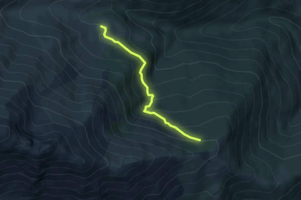
Roch Jermu, bivio 419A-419B – Palé, bivio 419-419B
3.9 km · ↑ 262 m · 1 h 29 min · 13 km away
Demanding · Trail
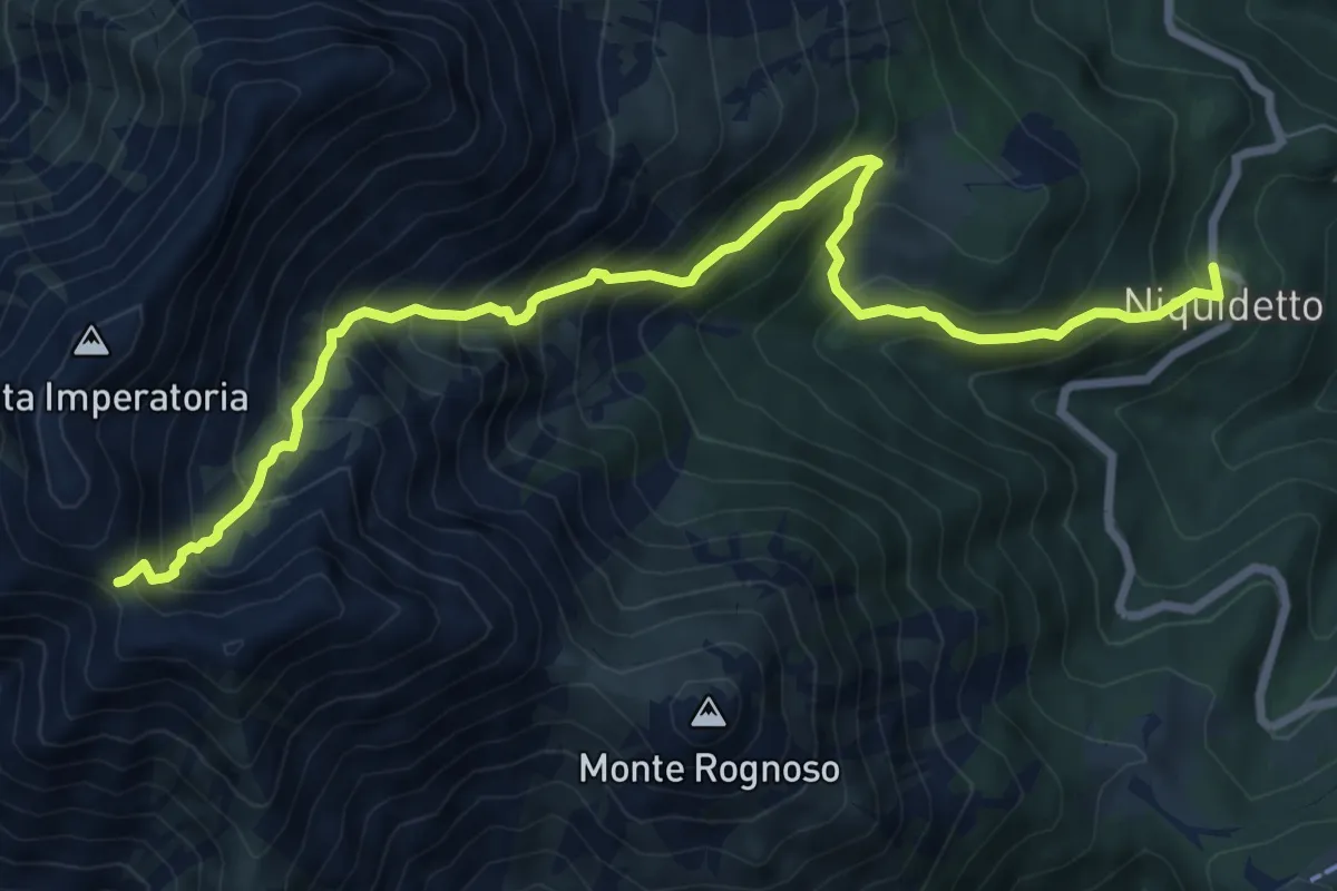
Niquidetto – Bivio TON104-TOS577, Colletto del Civrari
9.4 km · ↑ 976 m · 4 h 20 min · 13 km away