Trails near Avigliana
181 hikes starting within 15 km, nearest first.
Nearest first, page 4 of 4
Easy · Trail
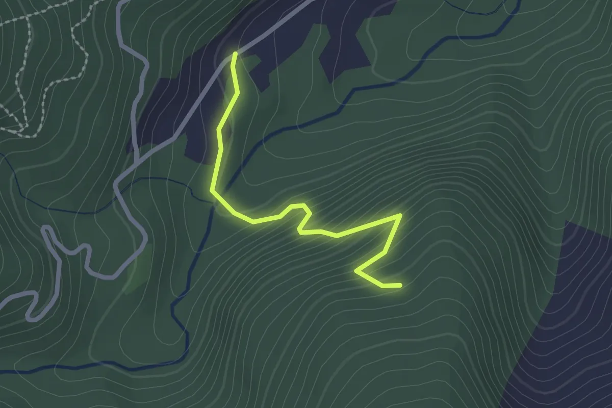
Bivio per Forno di Coazze, case Prablin, Madonna di Lourdes – Coazze, Frazione Forno di Coazze, bivio TOS412A-TOS414
2.1 km · ↑ 173 m · 53 min · 13 km away
Easy · Trail
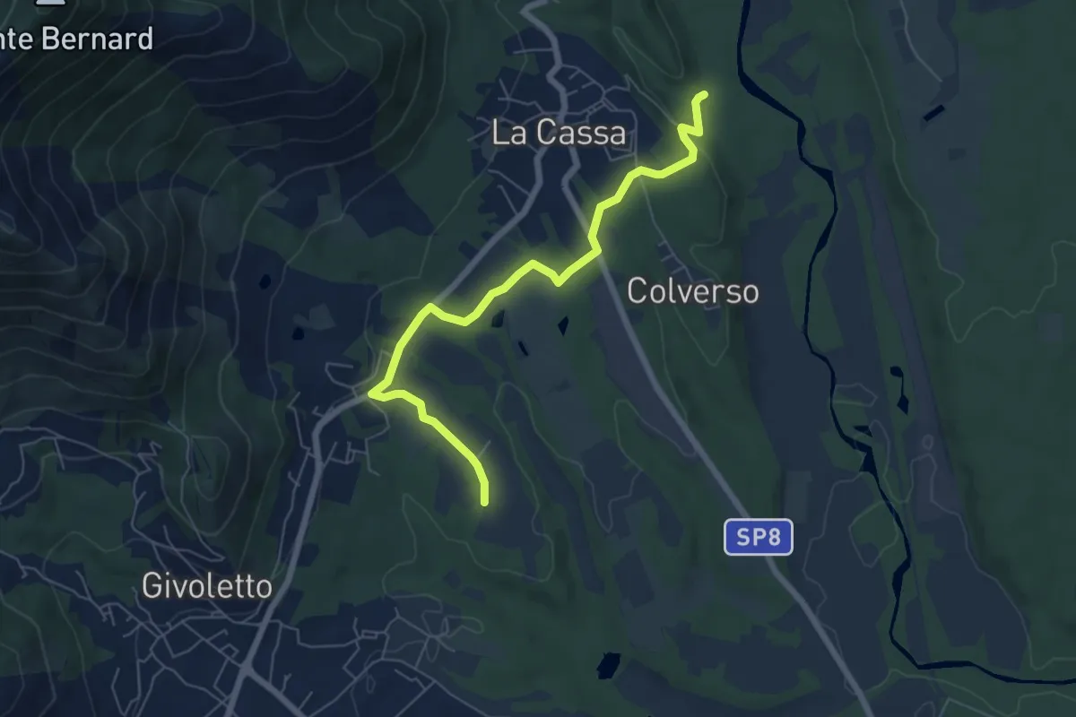
Bivio 006-007 – Bivio 005-006
6.7 km · ↑ 99 m · 1 h 47 min · 13 km away
Medium · Trail
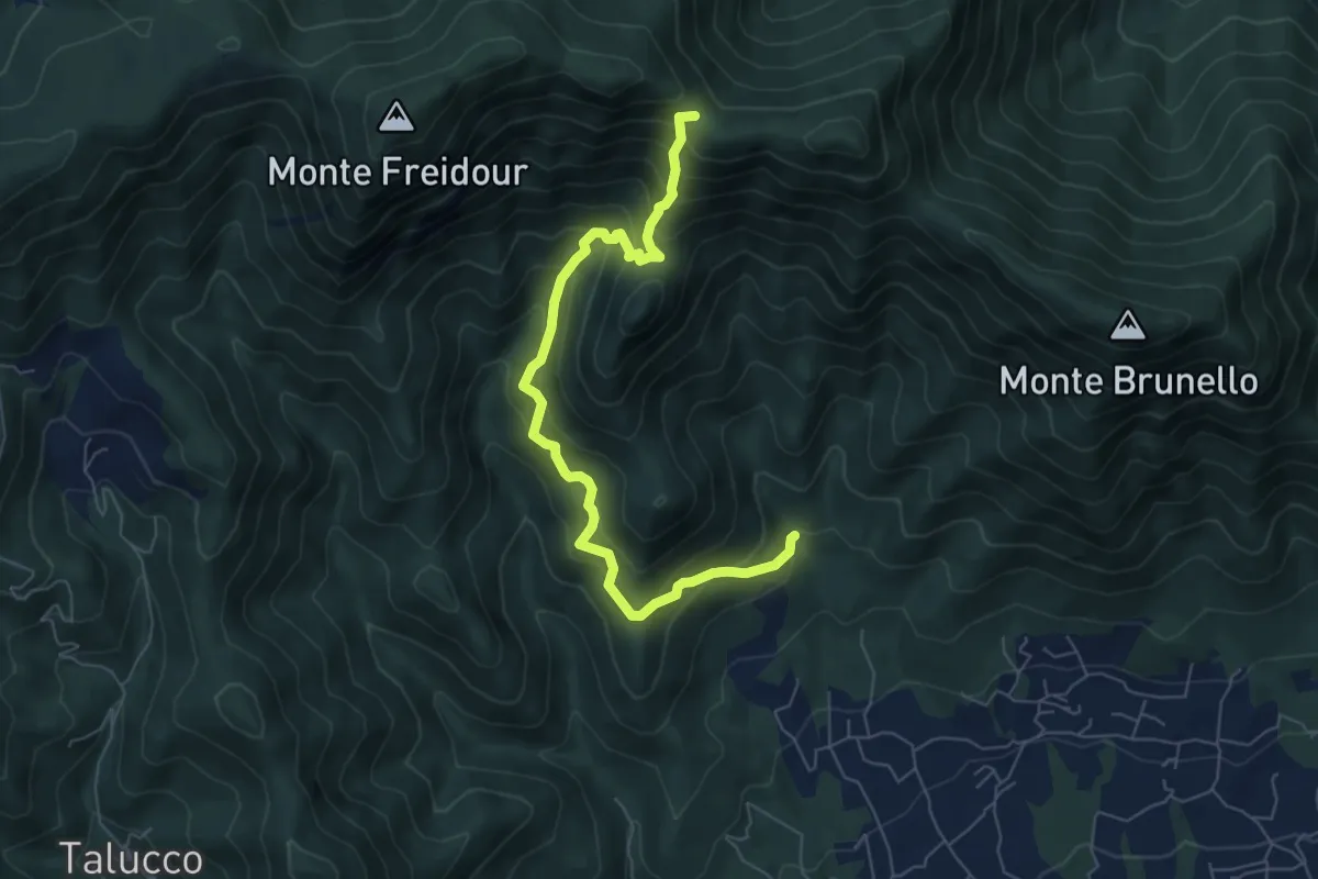
Fontana Calda, località Scrivanda – Colle Aragno Est, bivio TOS005-007-053
7.1 km · ↑ 702 m · 3 h 11 min · 13 km away
Medium · Trail
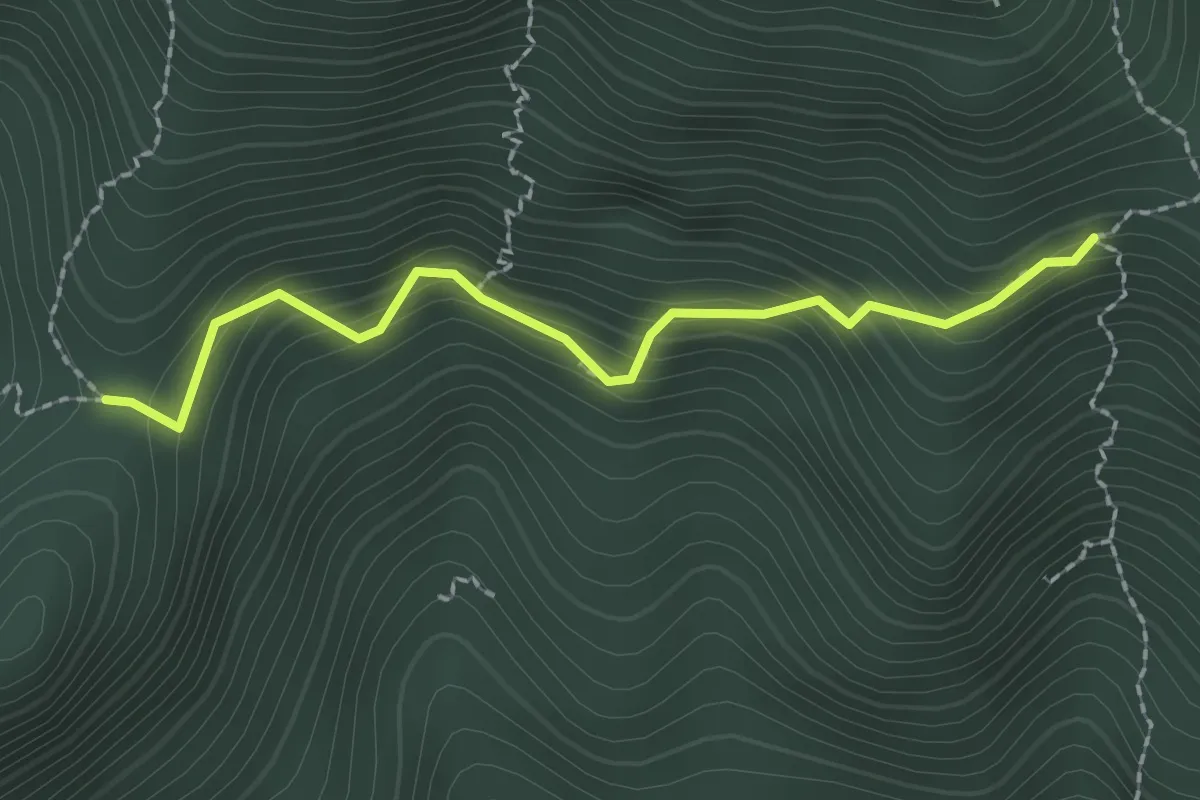
Fontana Ellena, bivio TOS051A-051 – Passo Castellar, bivio TOS051A-053
2.1 km · ↑ 227 m · 1 h · 13 km away
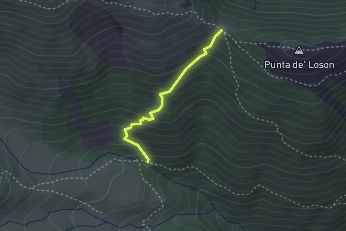
Medium · Trail
Coazze, bivio TOS420-TOS420A – Coazze, Colle ben Mulè, bivio TOS420A-TOS435-TOS446
2.2 km · ↑ 254 m · 1 h 4 min · 13 km away
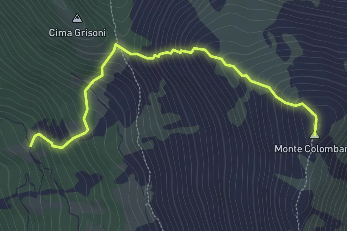
Medium · Summit
Bivio 102-102A, San Vito – Bivio 003A-102A, Monte Colombano
3.3 km · ↑ 400 m · 1 h 38 min · 14 km away
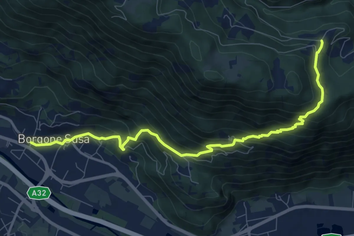
Medium · Trail
Bivio 506-546-566 – Bivio 548-566, Frassinere
9.7 km · ↑ 691 m · 3 h 47 min · 14 km away
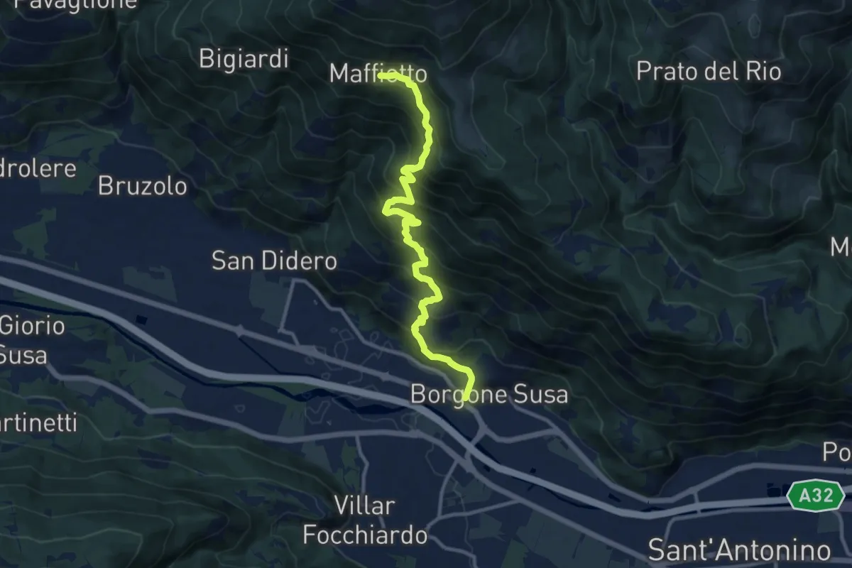
Demanding · Trail
Bivio 546-566, Borgone – Bivio 546-564, Maffiotto
11.3 km · ↑ 972 m · 4 h 47 min · 14 km away
Demanding · Trail
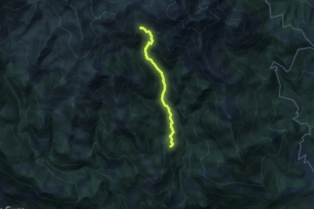
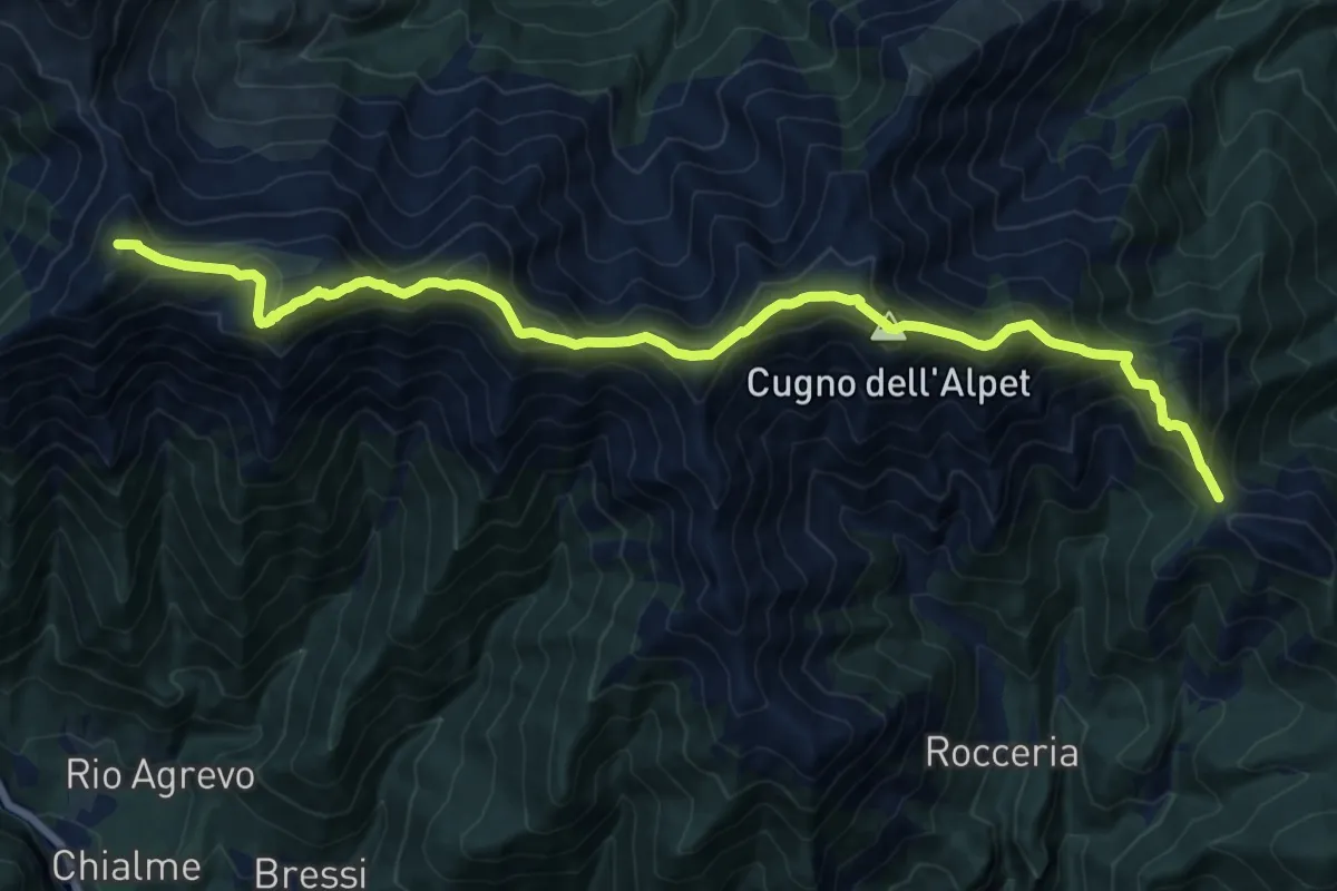
Bivio 552-569, Lajetto – Bivio 552-569, alpe Colombardo
11.3 km · ↑ 856 m · 4 h 31 min · 14 km away
Demanding · Summit
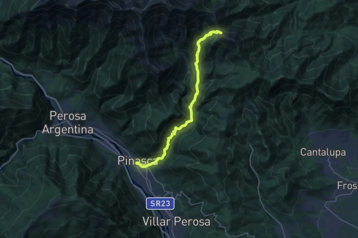
Colle del Besso, bivio TOS408-TOS412 – Colle La Roussa, bivio TOS414-TOS412
18.1 km · ↑ 1495 m · 7 h 30 min · 14 km away
Demanding · Trail
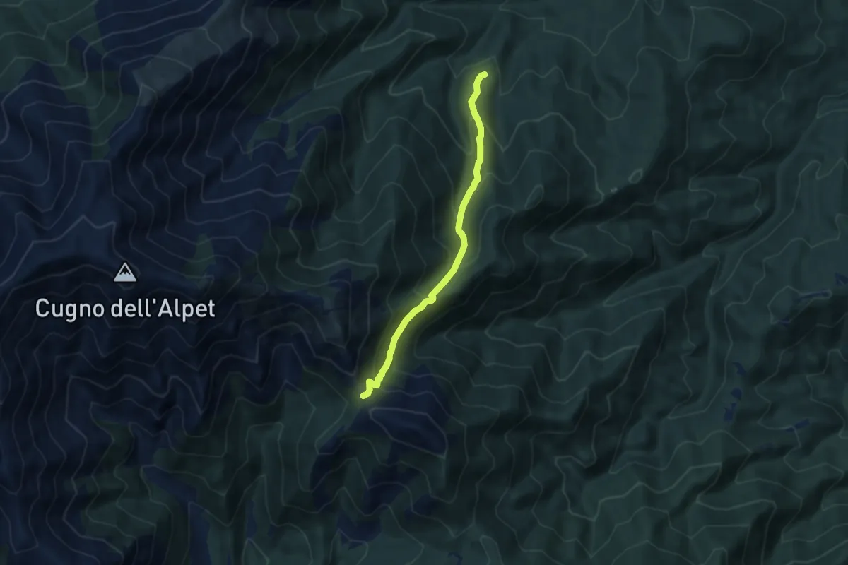
Dubbione – Biovio 347-408-412, Colle del Besso
17.9 km · ↑ 1261 m · 6 h 57 min · 14 km away
Medium · Trail
Giaveno, Prese Damon – Colle del Besso, bivio TOS408-TOS412-TOS450
7.1 km · ↑ 541 m · 2 h 51 min · 14 km away
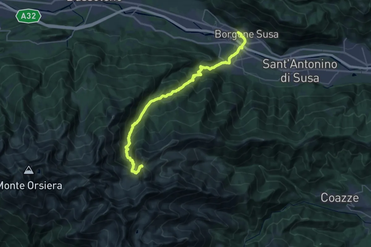
Demanding · Trail
Borgone di Susa, Stazione – Bivio 420-444-506, Colle del Vento
12.4 km · ↑ 1824 m · 6 h 9 min · 14 km away
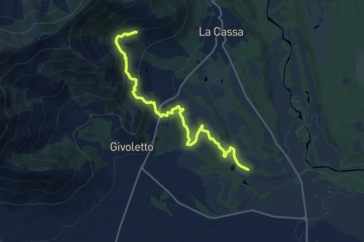
Medium · Trail
Bivio 005-006A, Cascina San Lorenzo – Bivio 005-008, Costa Bella
11.1 km · ↑ 430 m · 3 h 34 min · 14 km away
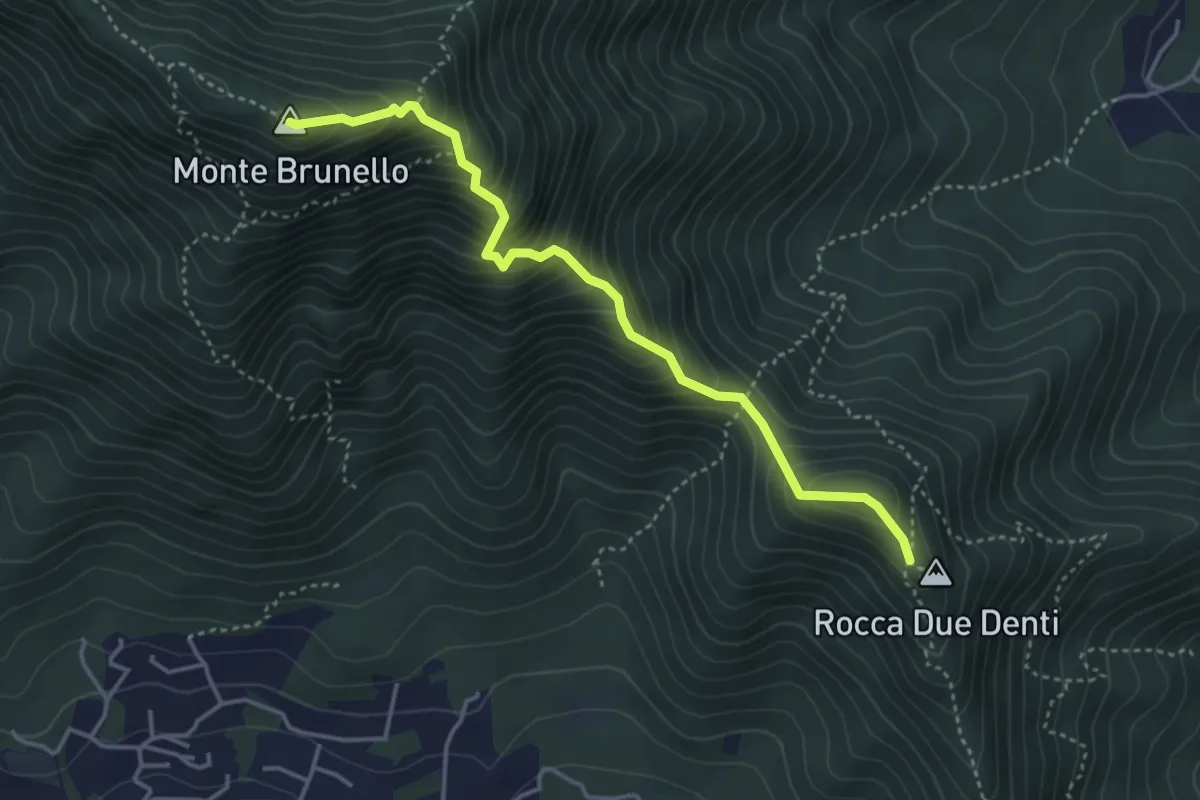
Demanding · Summit
Colletto Rocca Due Denti – Colle della Bessa (Rumiano)
4.1 km · ↑ 546 m · 2 h 9 min · 14 km away
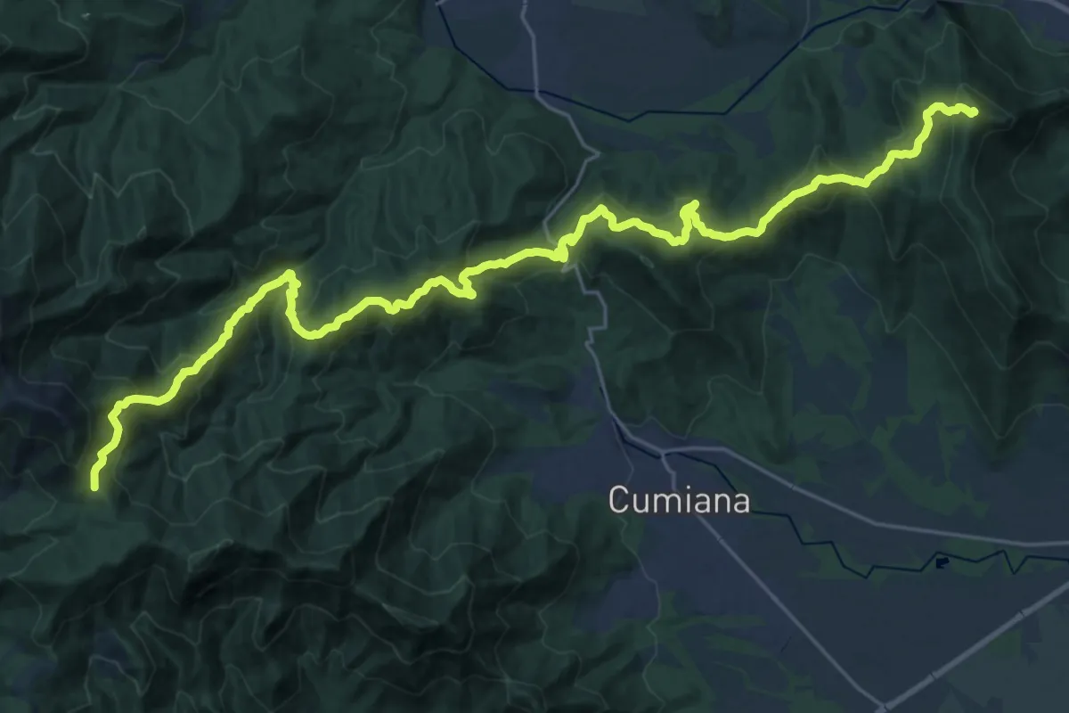
Demanding · Summit
Sangano – Colle Ceresera, bivio TOS008-TOS450
33.6 km · ↑ 2139 m · 12 h 34 min · 14 km away
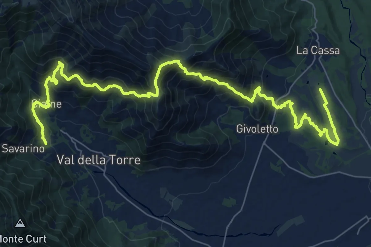
Demanding · Trail
Anello Ceronda - Tappa 4
16.6 km · ↑ 1065 m · 6 h 20 min · 14 km away
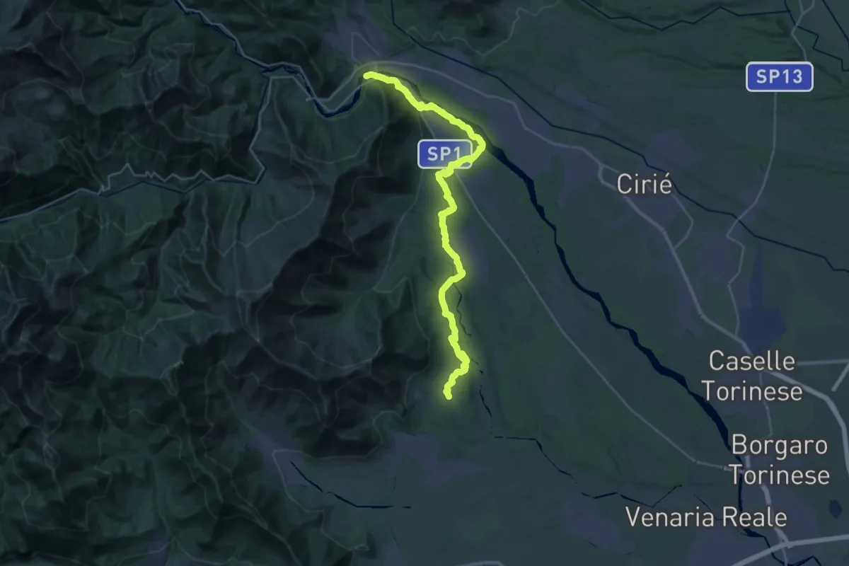
Medium · Trail
Anello Ceronda - Tappa 5
17.7 km · ↑ 358 m · 5 h 9 min · 14 km away
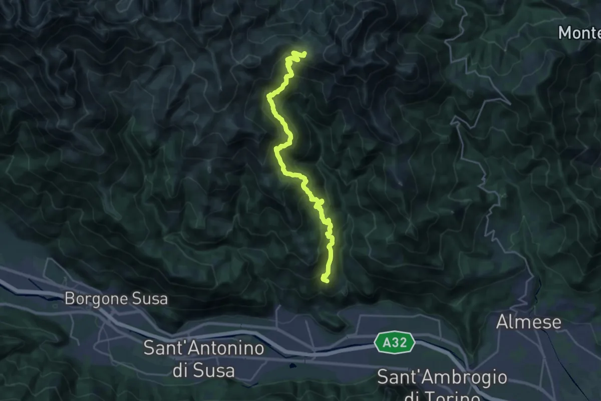
Demanding · Summit
Condove – Bivio 569-573, Colle Colombardo
21.3 km · ↑ 1494 m · 8 h 17 min · 14 km away
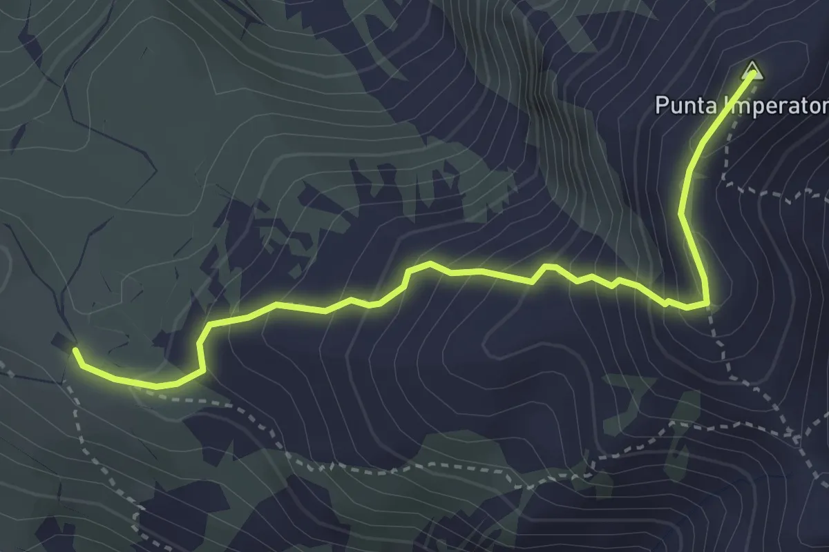
Demanding · Summit
Bivio 569-573, Colle Collombardo – Bivio 104A-573, Punta Imperatoria
3.8 km · ↑ 406 m · 1 h 47 min · 14 km away
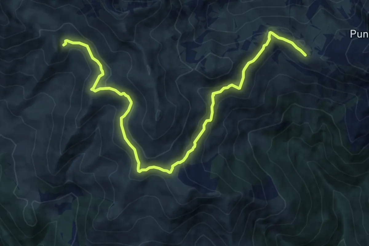
Medium · Trail
Bivio 551-569, Alpe del Colombardo – Bivio 551-564A-567, Alpe della Portia
15.2 km · ↑ 564 m · 4 h 49 min · 14 km away
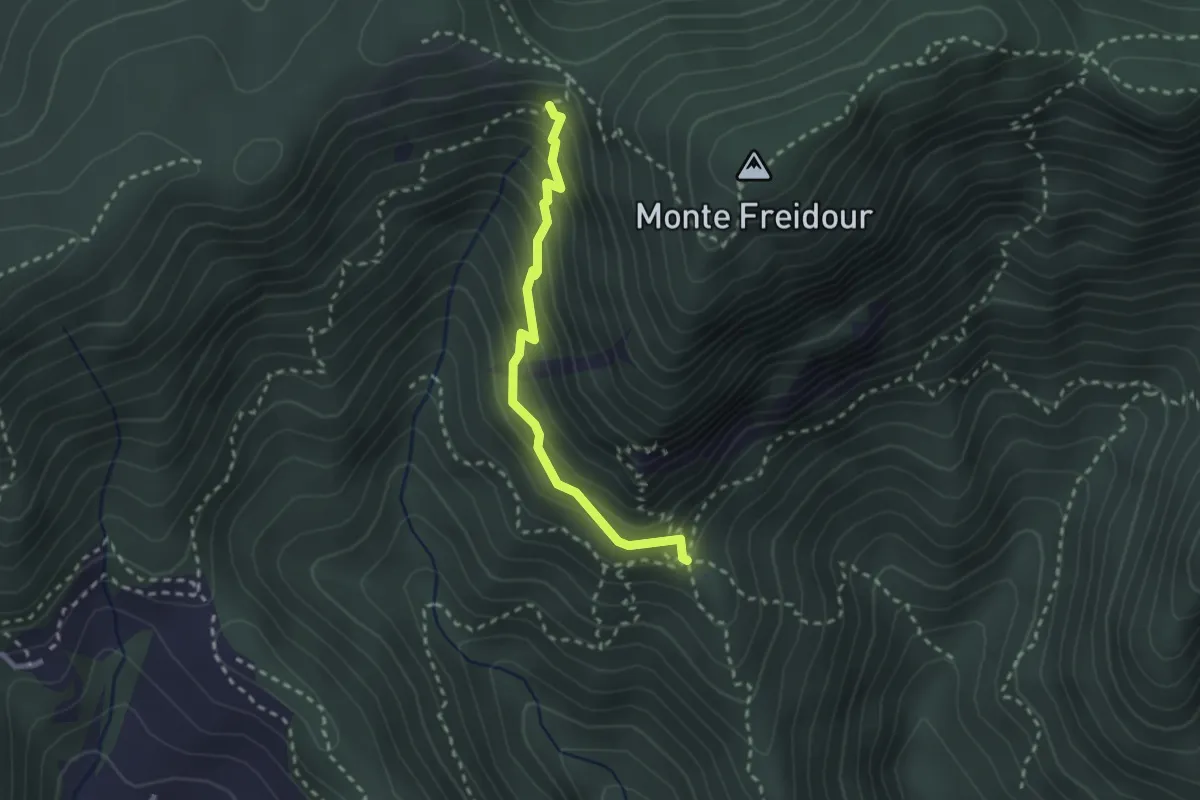
Medium · Cabin
Casa Canada, bivio TOS054-052-060 – Bivio TOS049-052B presso Colle Sperina
2.4 km · ↑ 245 m · 1 h 6 min · 14 km away
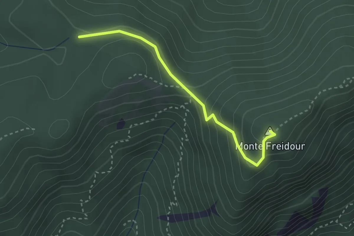
Medium · Summit
Bivio TOS006-TOS007, Colle Prà l'Abbà – Colle Aragno Est, bivio TOS005A-TOS007-TOS053
2.6 km · ↑ 157 m · 57 min · 14 km away
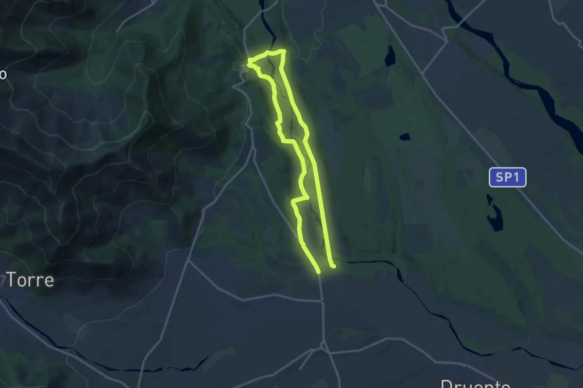
Medium · Trail
Cascina San Lorenzo – Cascina San Lorenzo
11.2 km · ↑ 109 m · 3 h 2 min · 14 km away
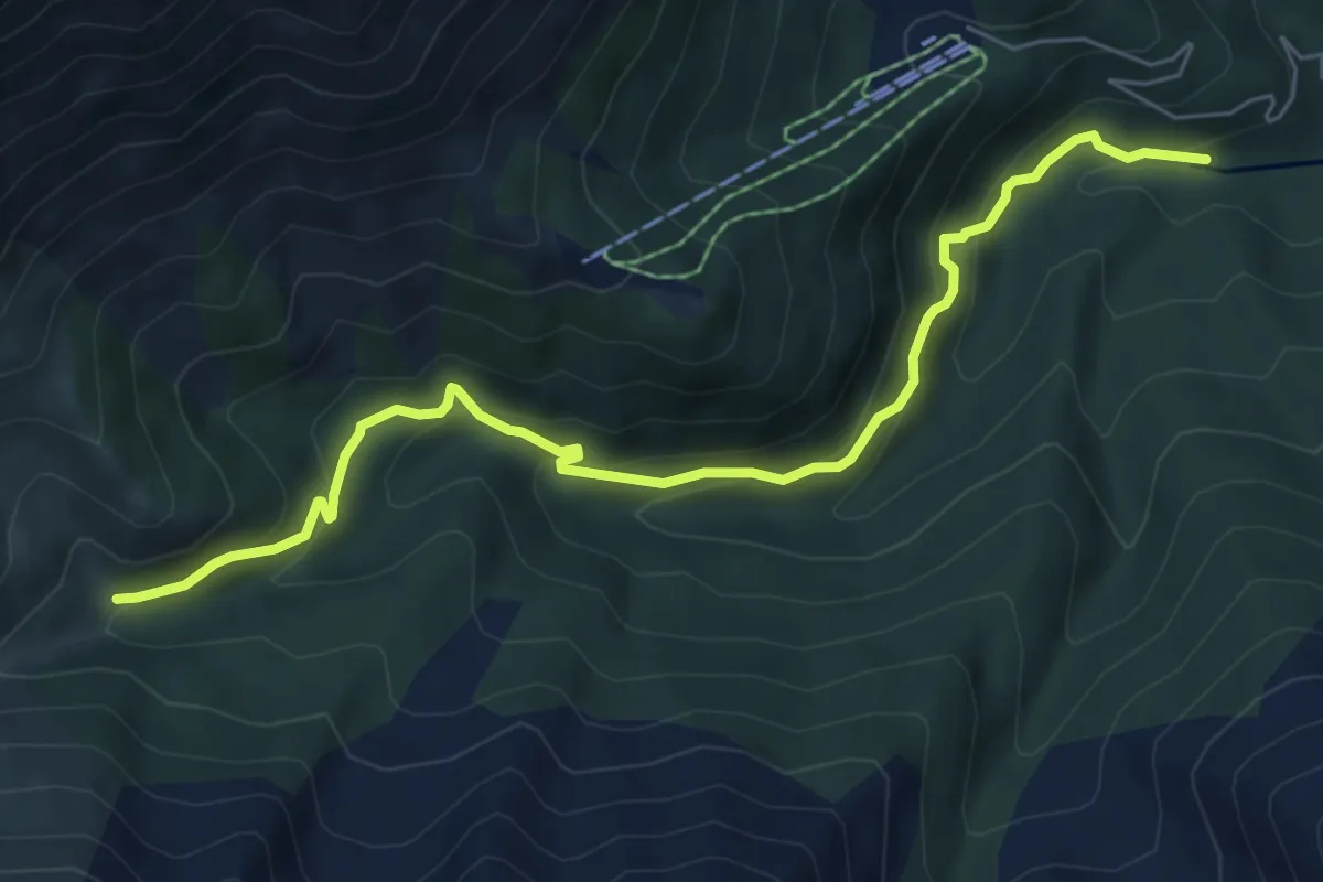
Medium · Trail
Bivio 414-414A, guado torrente Sangone – Bivio 414-414A, bivio per Palazzina Sertorio
7.0 km · ↑ 428 m · 2 h 35 min · 14 km away
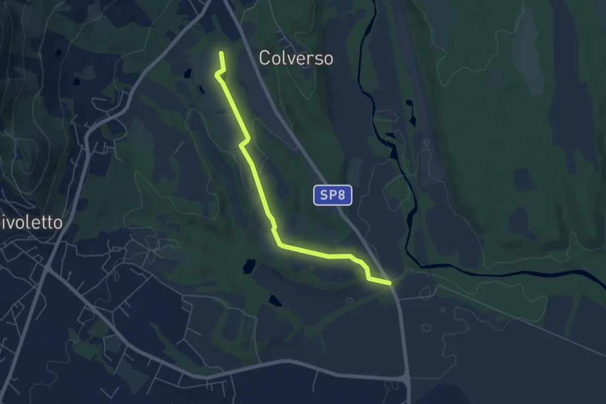
Easy · Trail
Bivio 006A-007, Cascina San Lorenzo – Bivio 006-006A, Cascina San Giovanni
5.4 km · ↑ 62 m · 1 h 24 min · 14 km away
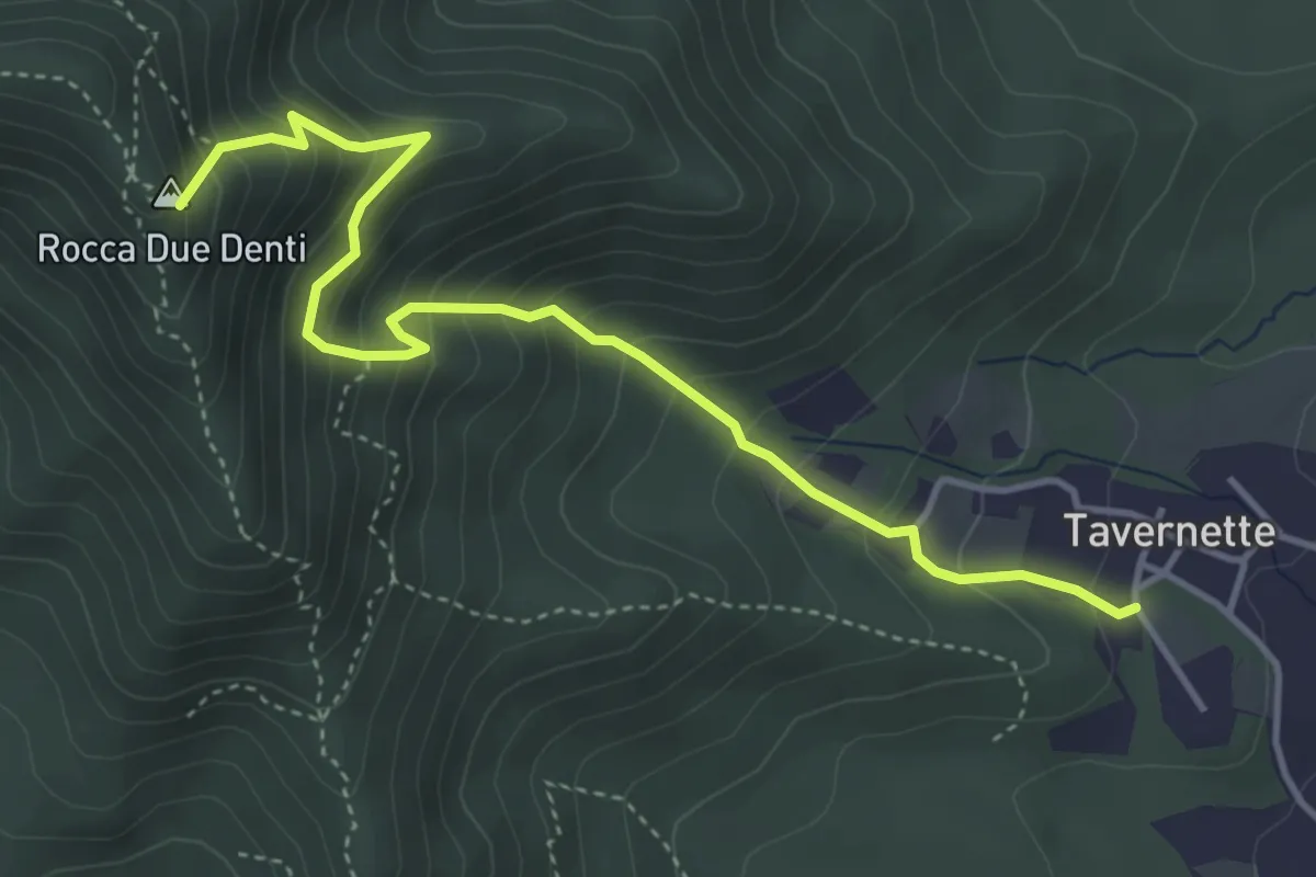
Medium · Summit
Cumiana, località Tavernette – Bivio TOS022-TOS020
4.7 km · ↑ 537 m · 2 h 17 min · 14 km away
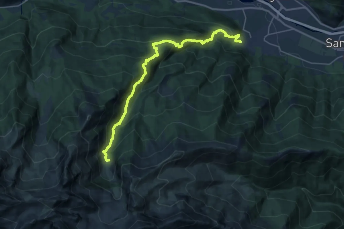
Demanding · Trail
Villar Focchiardo, località Sant'Anna – Pra da Sal presso Mustione
18.4 km · ↑ 1332 m · 7 h 13 min · 14 km away
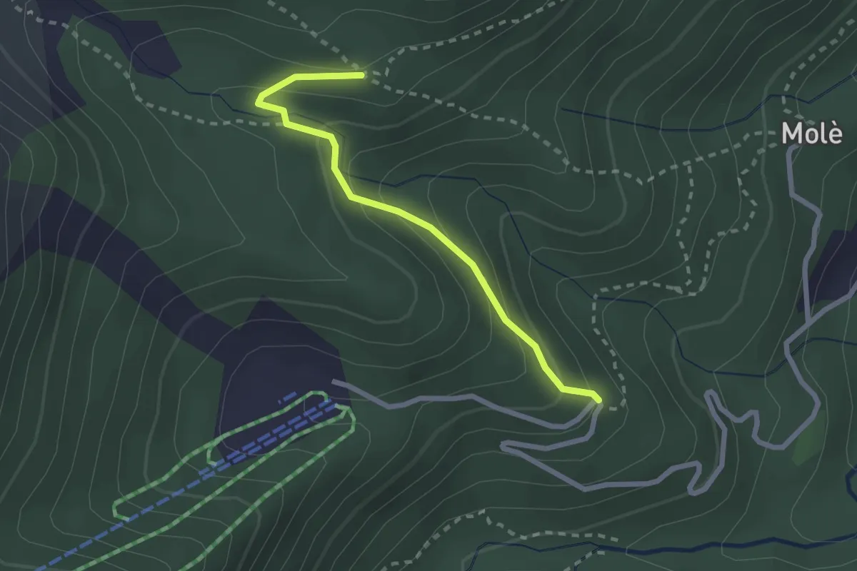
Medium · Trail
Coazze, Cara t'Aie', bivio TOS415D-TOS415A – Coazze, bivio TOS415-TOS415D
2.3 km · ↑ 163 m · 54 min · 14 km away
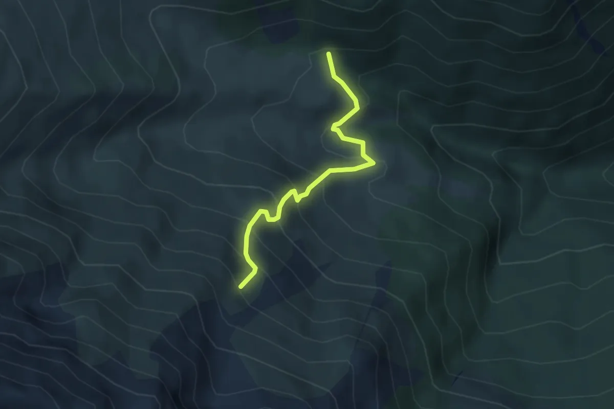
Medium · Trail
Bivio TOS419A-TOS420 presso Roch del Gias – Coazze, Loc. Pian di Pieia, bivio TOS419-419A
3.5 km · ↑ 355 m · 1 h 36 min · 14 km away
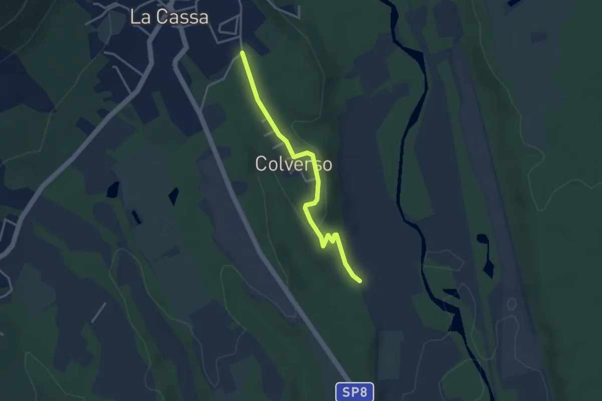
Easy · Trail
Bivio 006-006B, La Cassa, Via Colverso – Bivio 006B-007, Regione Colverso
3.1 km · ↑ 66 m · 52 min · 14 km away
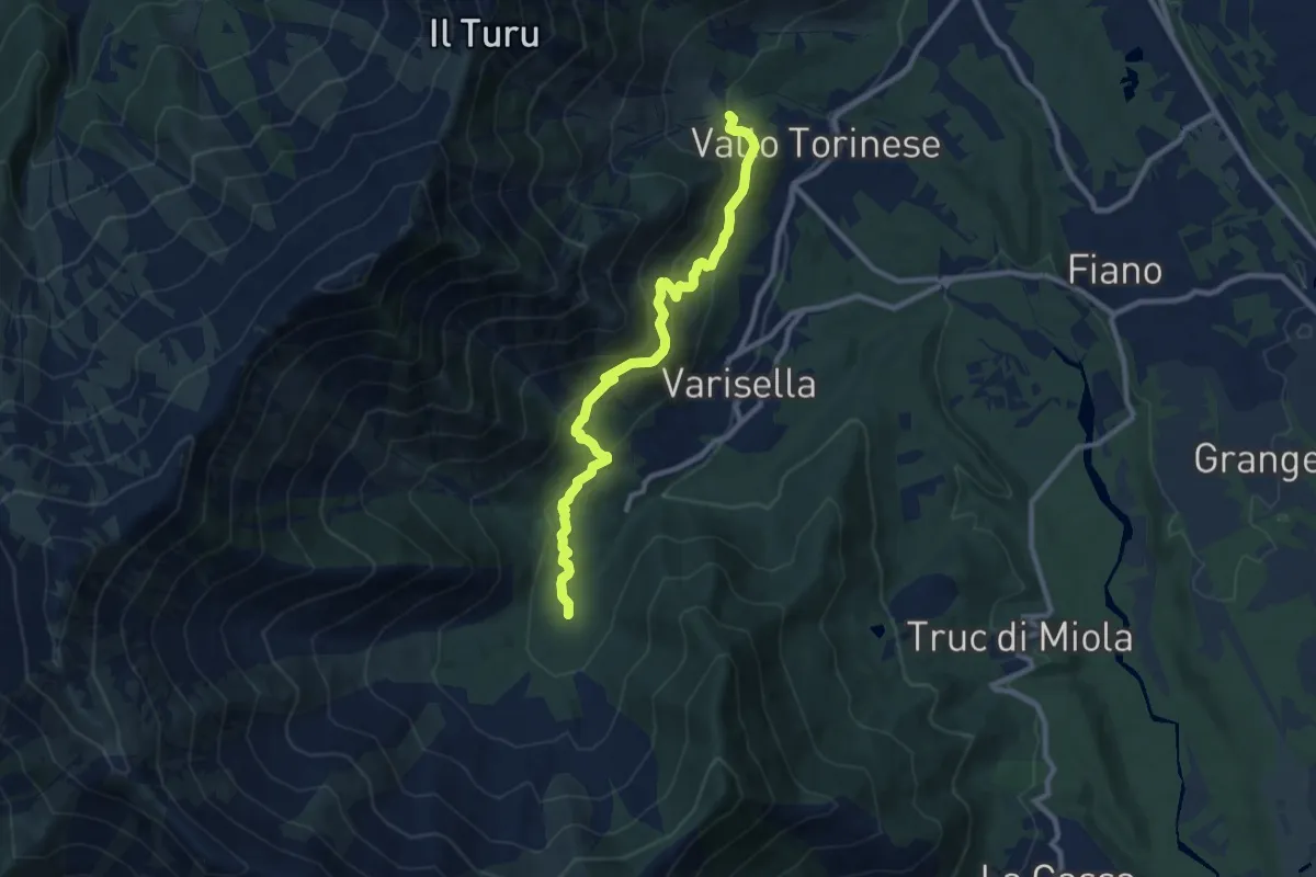
Medium · Trail
Bivio 043-045, Area Camper – Bivio 045-090, Cappella di San Rocco
9.8 km · ↑ 495 m · 3 h 22 min · 14 km away
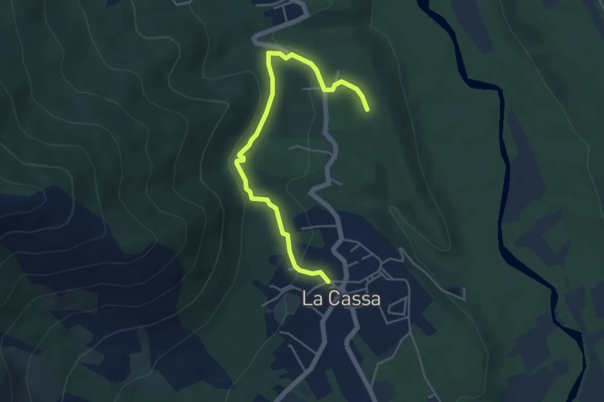
Medium · Trail
Bivio 008-008B, La Cassa – Bivio 008B-008C
4.4 km · ↑ 121 m · 1 h 18 min · 15 km away
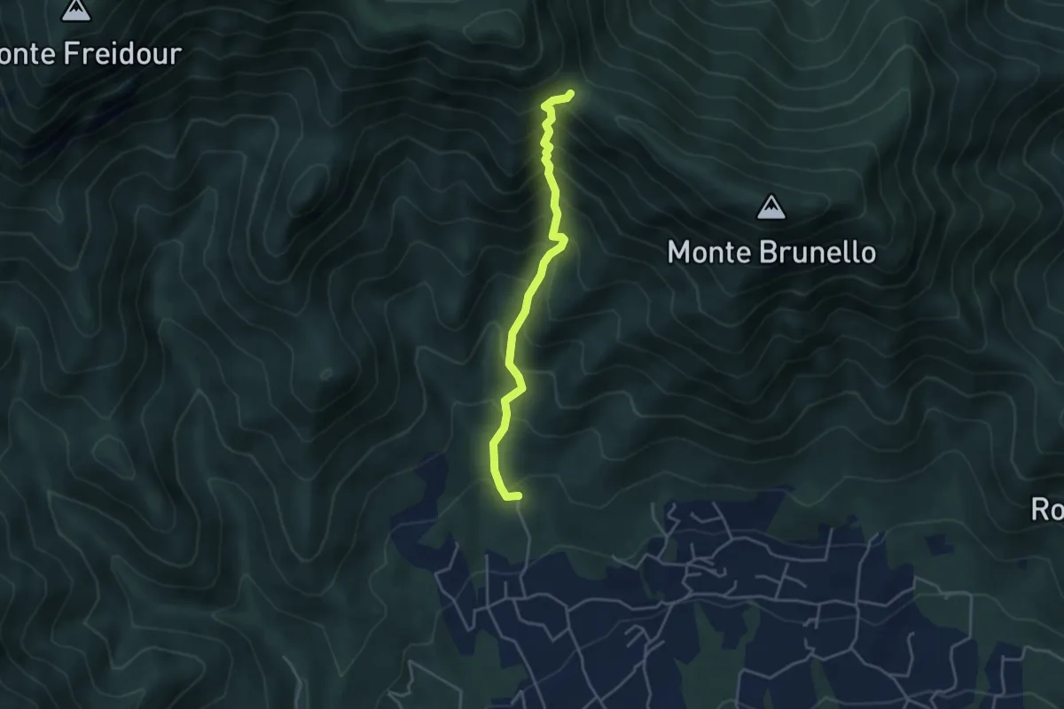
Medium · Trail
San Martino, Cantalupa – Bivio 002-021-051, colle della Bessa, Rumiano
3.8 km · ↑ 531 m · 2 h 3 min · 15 km away
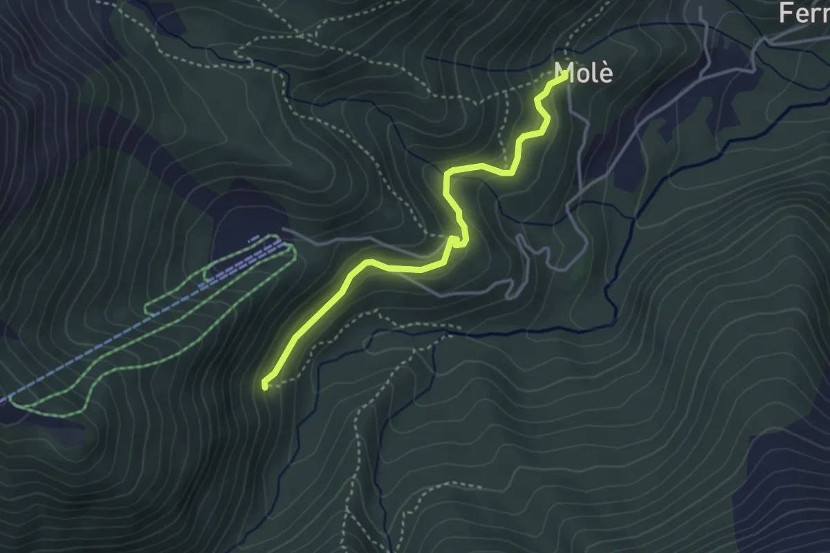
Medium · Trail
Mole' (Bivio 415) – Presa Ruffino (Bivio 414A)
3.5 km · ↑ 167 m · 1 h 11 min · 15 km away
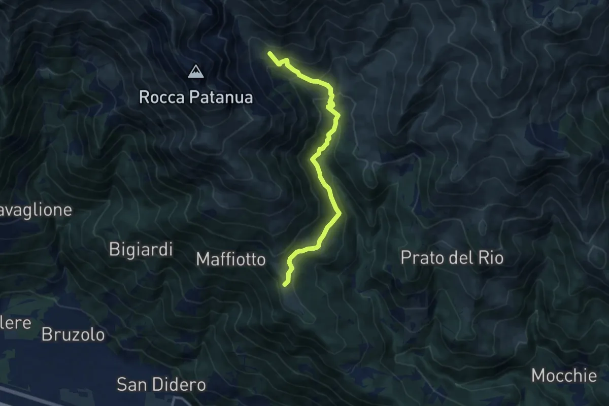
Medium · Trail
Bivio 547-548-564, Prarotto – Bivio 547-564A, Alpe Pra Buret
10.4 km · ↑ 664 m · 3 h 53 min · 15 km away
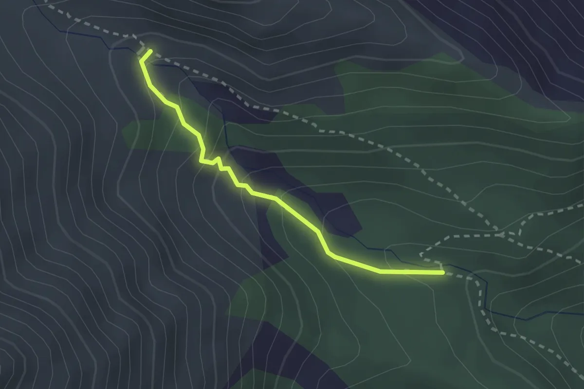
Medium · Trail
Coazze, Rio della Balma, bivio TOS415B-TOS415C – Bivio TOS415-TOS415C
2.2 km · ↑ 178 m · 54 min · 15 km away