Trails near Bagno a Ripoli
120 hikes starting within 15 km, nearest first.
Nearest first, page 1 of 3
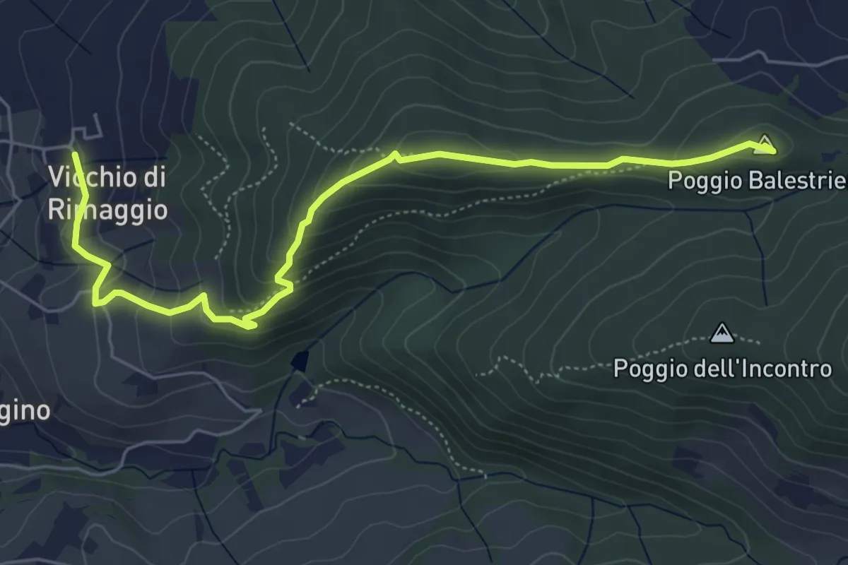
Easy · Summit
Vicchi Di Rimaggio – Poggio Incontro
6.5 km · ↑ 309 m · 2 h 12 min · 2 km away
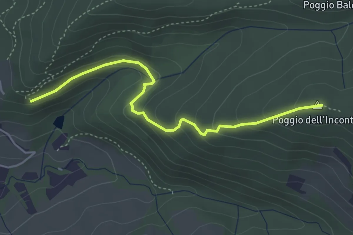
Easy · Summit
Vicchio Di Rimaggio-Vernalese – Poggio Incontro
4.2 km · ↑ 211 m · 1 h 27 min · 2 km away
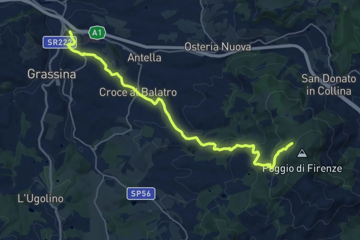
Demanding · Cabin
Ponte a Ema – Sorgente Fonte Santa
18.1 km · ↑ 559 m · 5 h 30 min · 3 km away
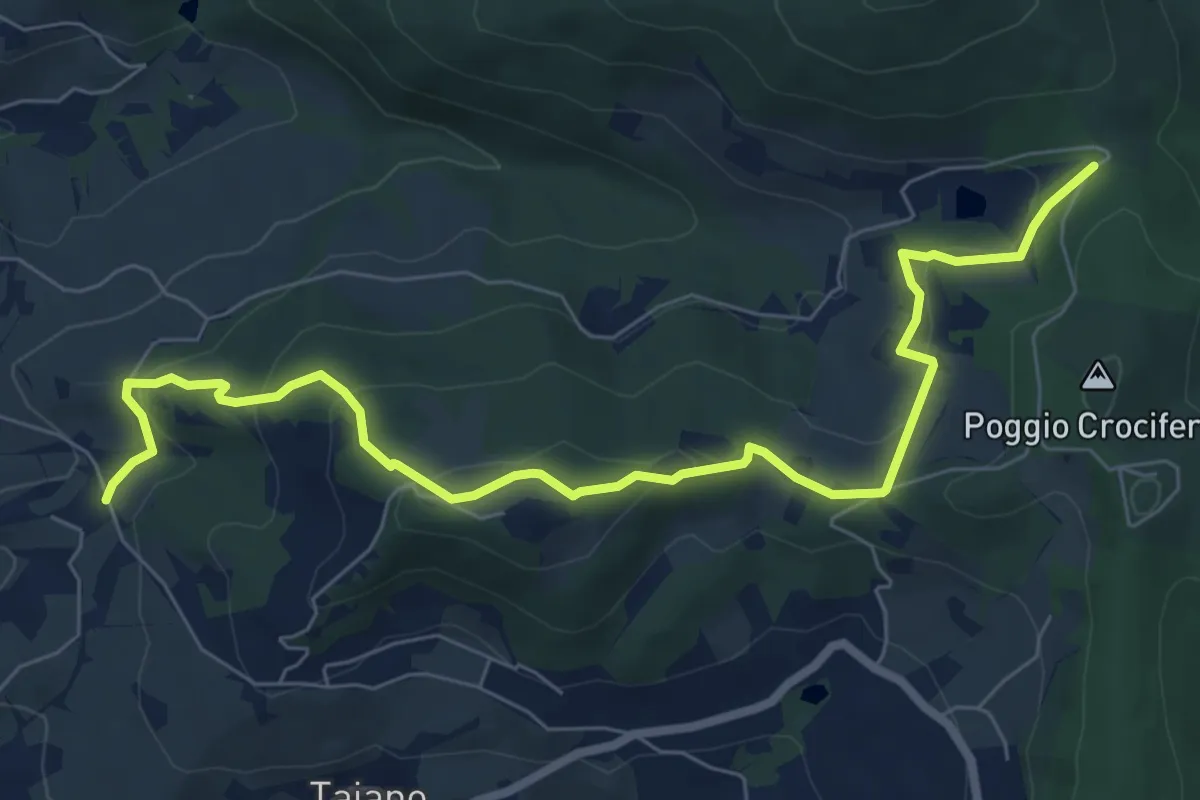
Medium · Trail
Bigallo – Valico Di Terzano
8.7 km · ↑ 343 m · 2 h 48 min · 3 km away
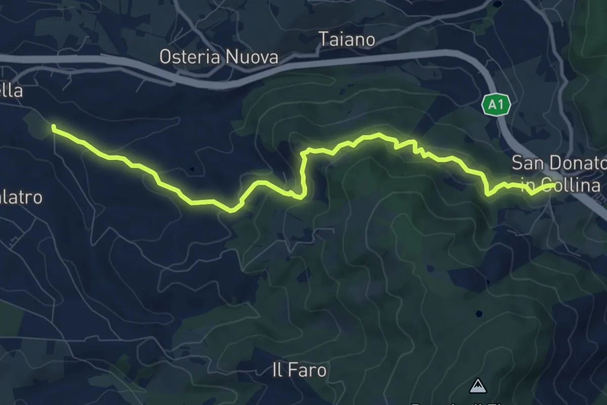
Medium · Trail
Antella – San Donato in Collina
10.9 km · ↑ 473 m · 3 h 35 min · 3 km away
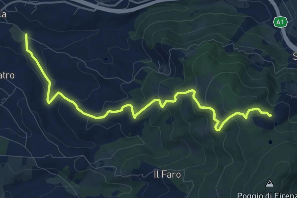
Medium · Trail
Antella – Poggio Piglie
11.5 km · ↑ 524 m · 3 h 51 min · 3 km away
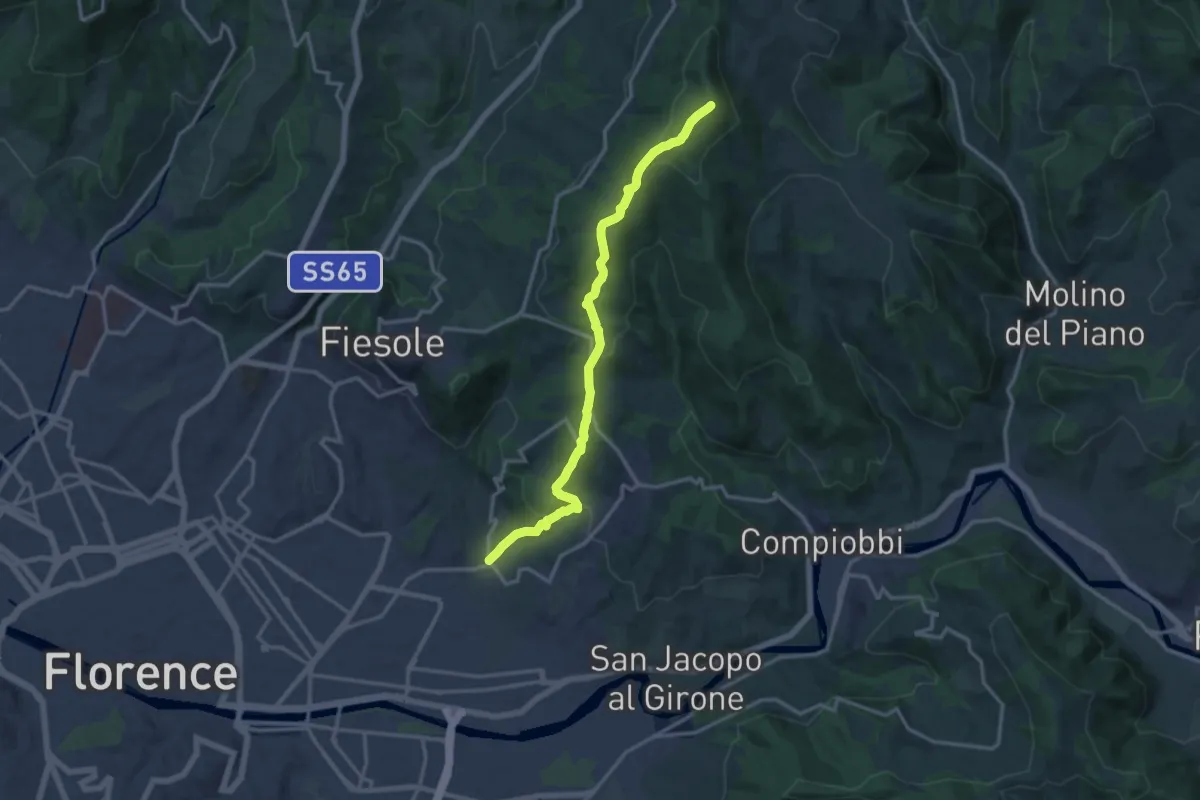
Medium · Summit
Ponte a Mensola – Vetta le Croci
15.2 km · ↑ 644 m · 4 h 59 min · 3 km away
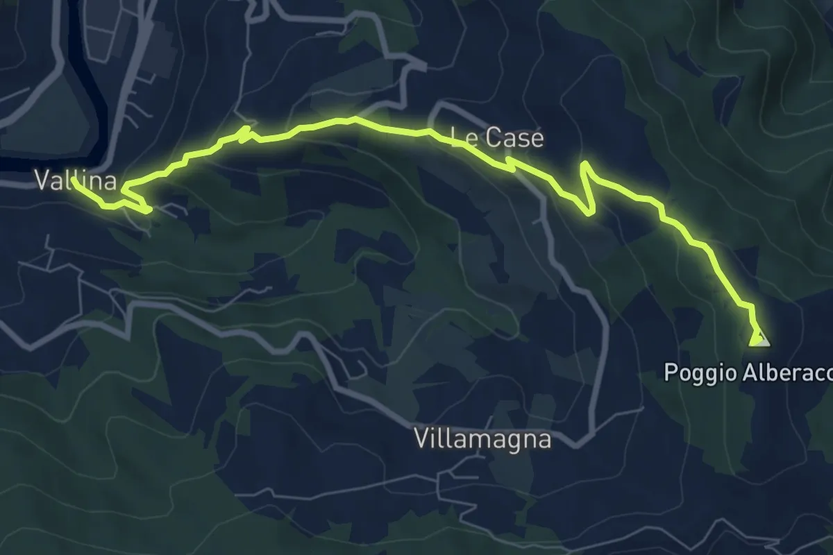
Medium · Summit
Sentiero 0–da Vallina a Poggio a Luco
8.9 km · ↑ 442 m · 3 h 4 min · 4 km away
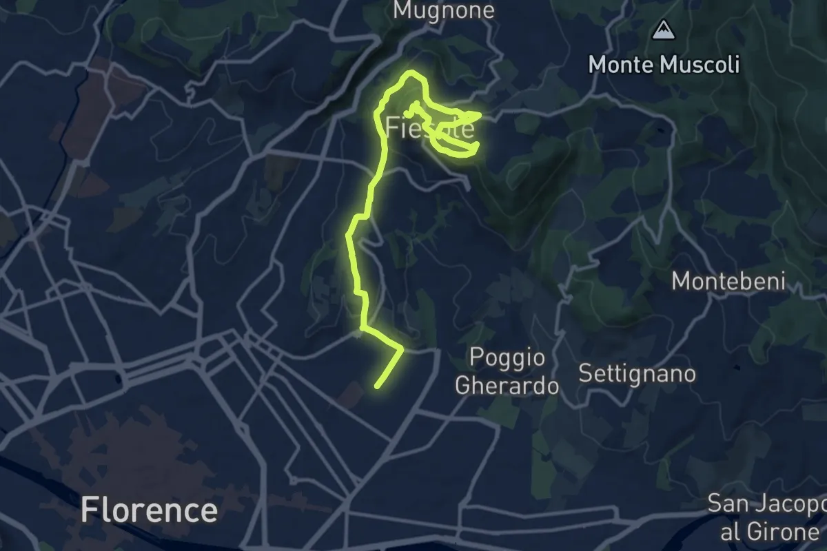
Medium · Summit
Tappa 7 - Da Firenze a Fiesole
15.1 km · ↑ 507 m · 4 h 39 min · 4 km away
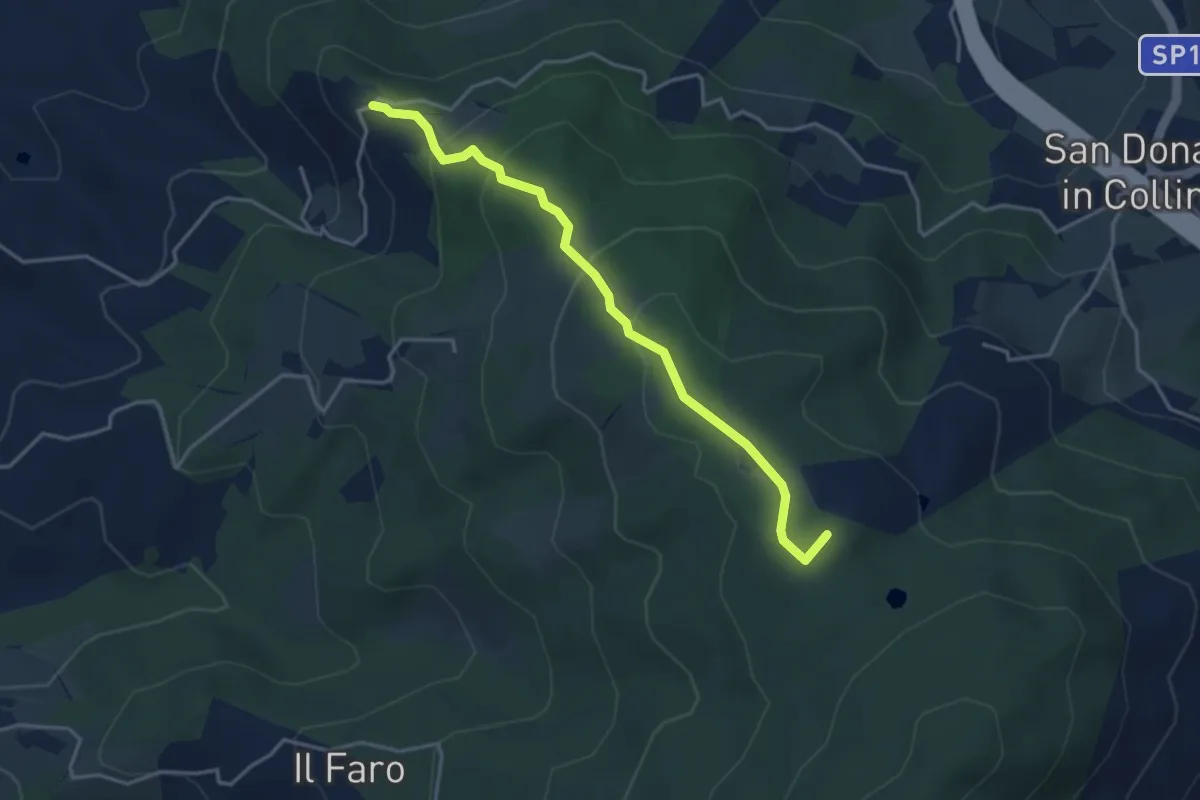
Easy · Summit
Montisoni – Poggio Piglie
4.0 km · ↑ 222 m · 1 h 25 min · 4 km away
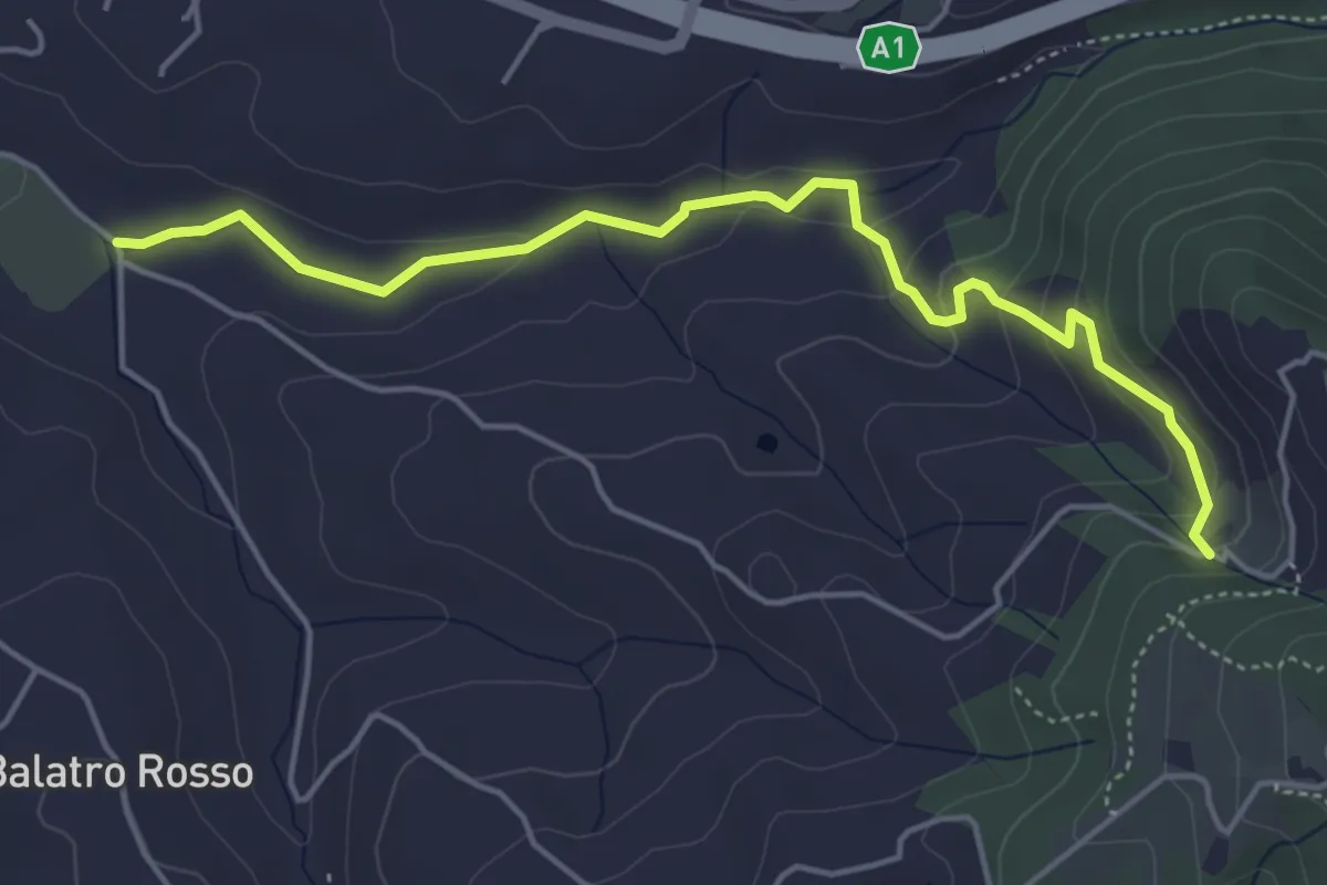
Easy · Trail
Antella – Montisoni
5.3 km · ↑ 184 m · 1 h 39 min · 4 km away
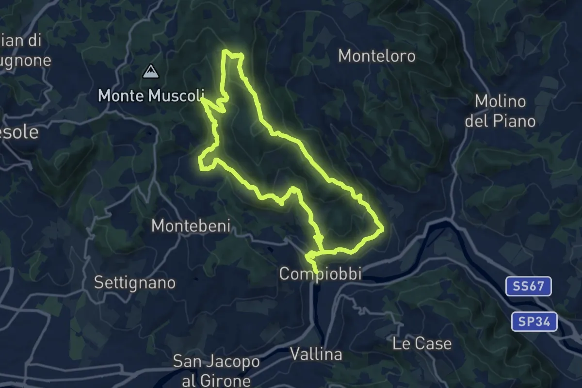
Medium · Trail
Compiobbi – Compiobbi
14.0 km · ↑ 611 m · 4 h 48 min · 5 km away
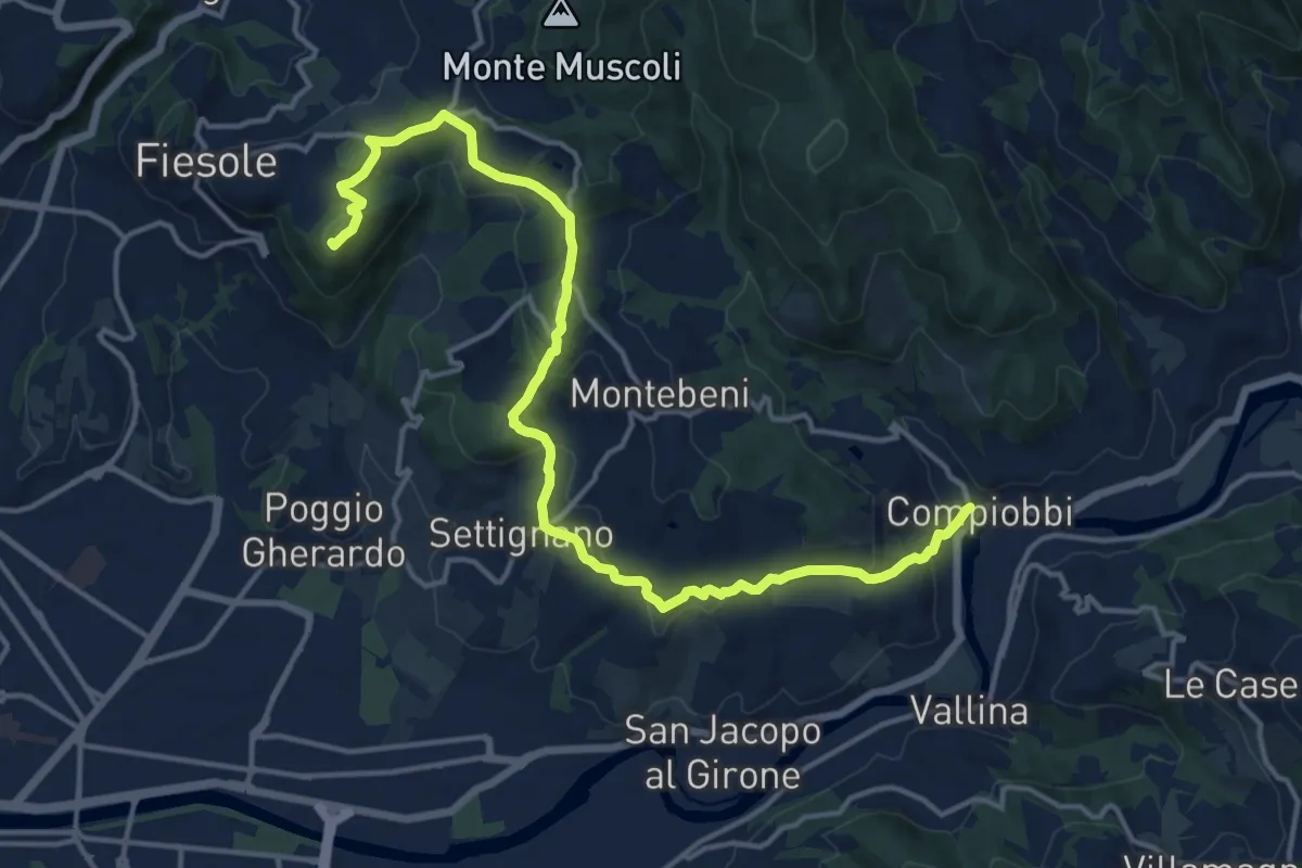
Demanding · Summit
Fiesole – Settignano Compiobbi
18.3 km · ↑ 586 m · 5 h 36 min · 5 km away
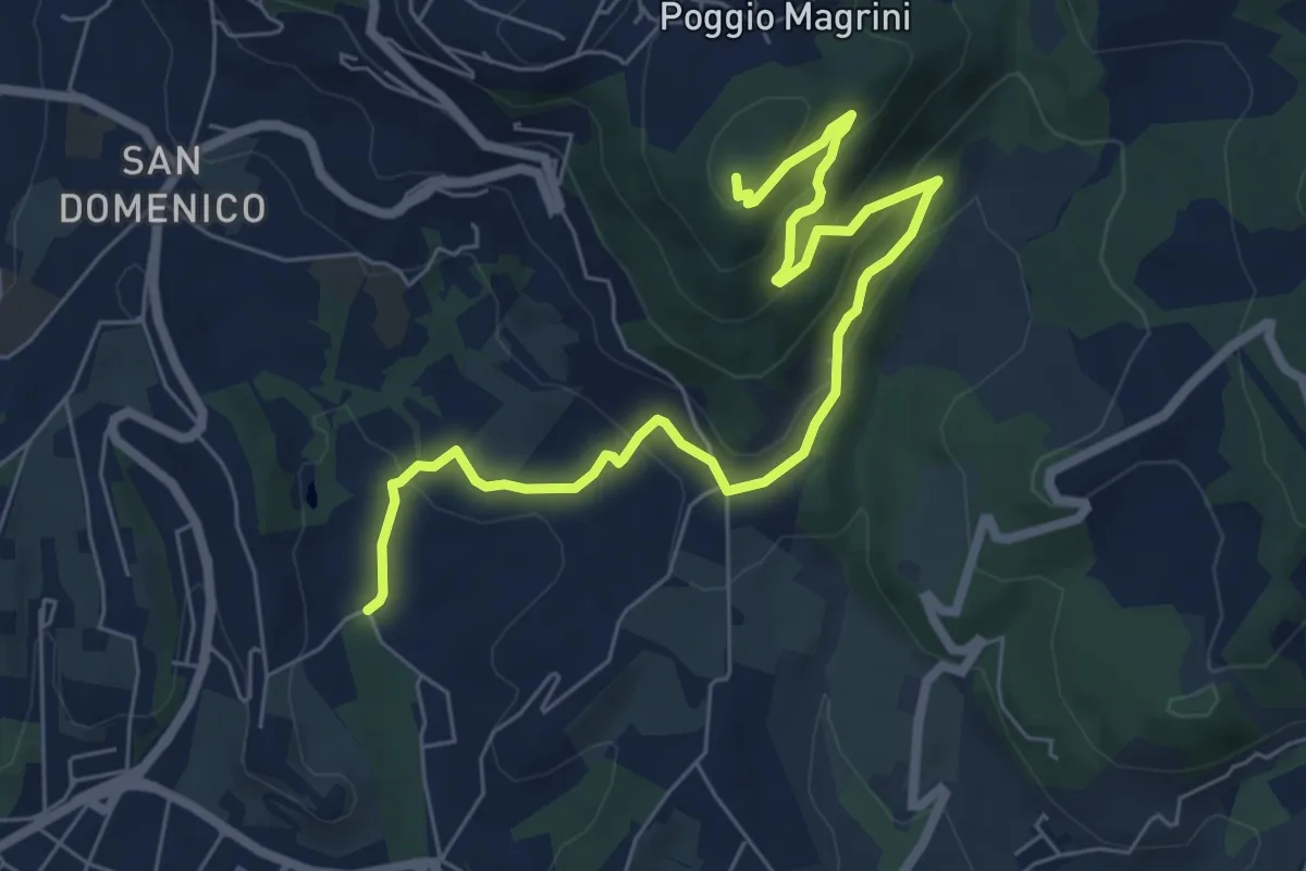
Medium · Summit
Salviatino – Monte Ceceri
8.2 km · ↑ 388 m · 2 h 46 min · 5 km away
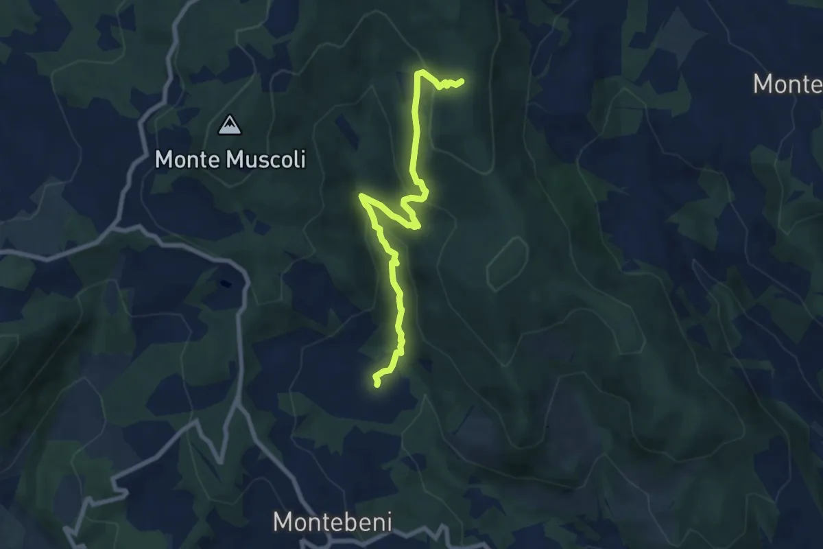
Medium · Trail
Ontignano – Casa le Sorti
7.2 km · ↑ 324 m · 2 h 24 min · 6 km away
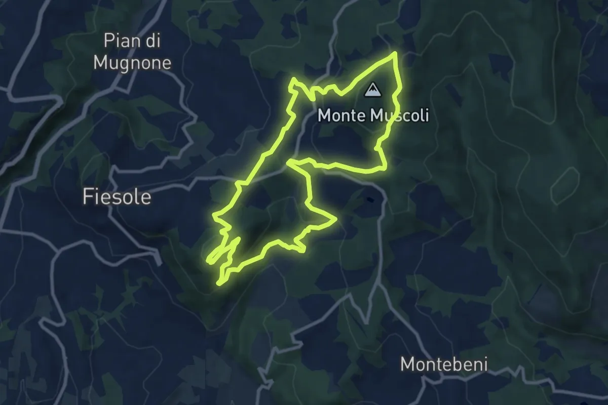
Medium · Summit
Fiesole – Fiesole
9.6 km · ↑ 409 m · 3 h 17 min · 6 km away
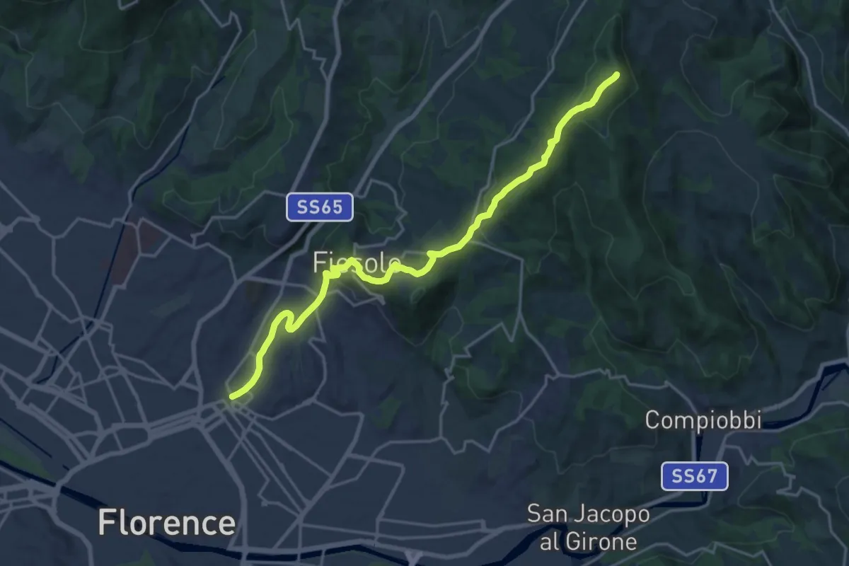
Demanding · Summit
Via degli Dei: Tappa 6
20.1 km · ↑ 708 m · 6 h 17 min · 6 km away
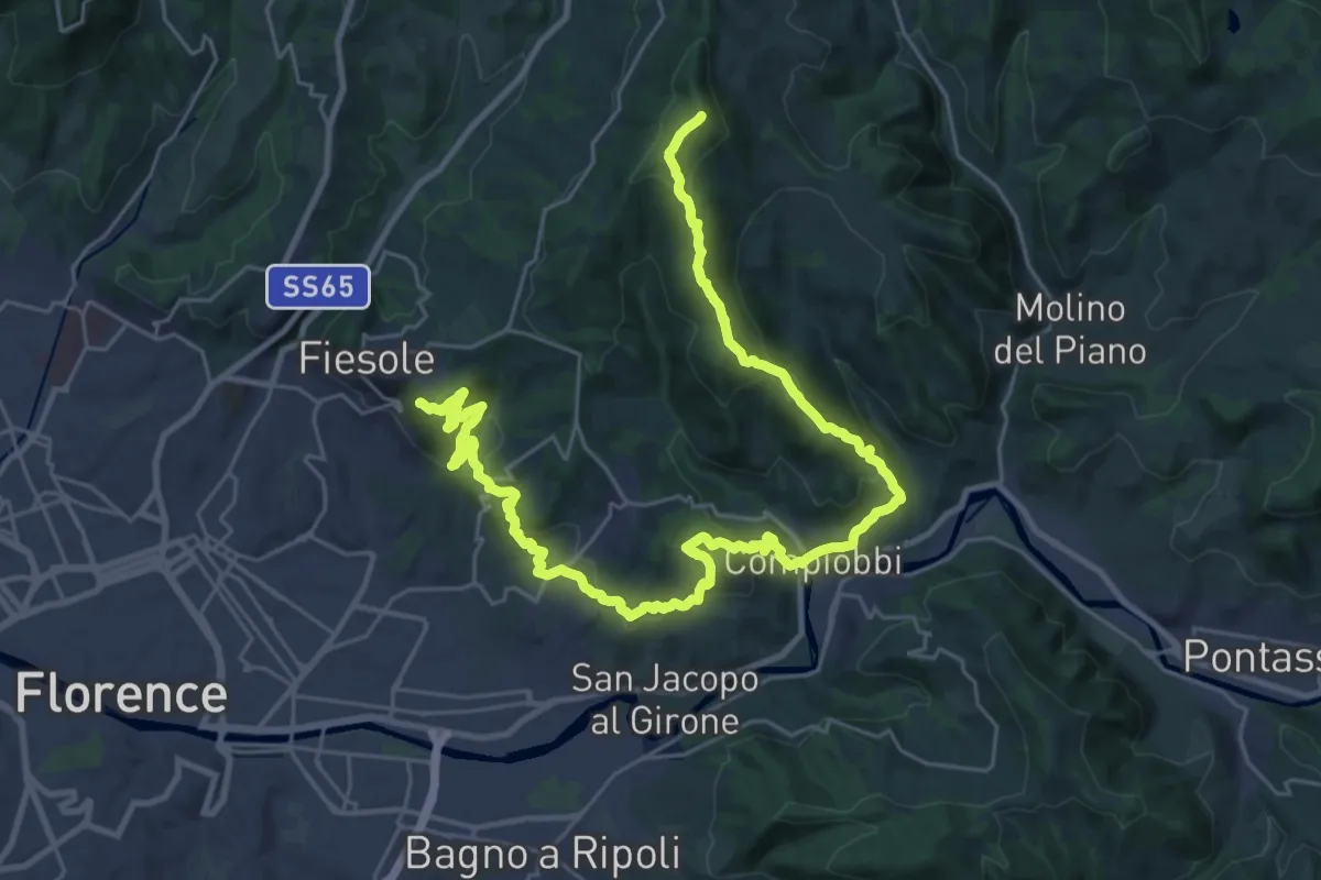
Demanding · Summit
Olmo – Fiesole
37.8 km · ↑ 1561 m · 12 h 18 min · 6 km away
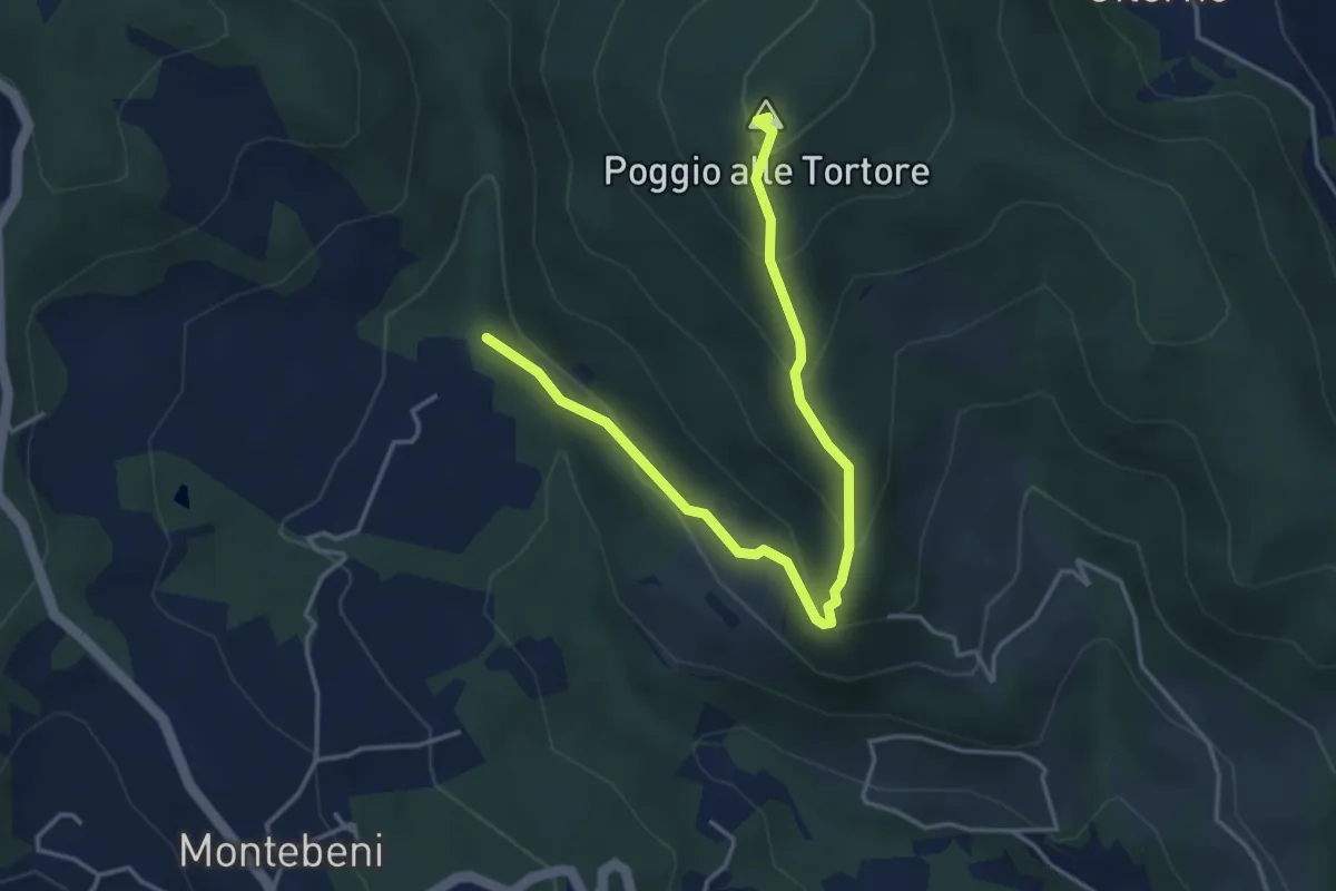
Demanding · Summit
Incrocio Sentiero 708 – Incrocio Sentiero 703
4.6 km · ↑ 273 m · 1 h 41 min · 6 km away
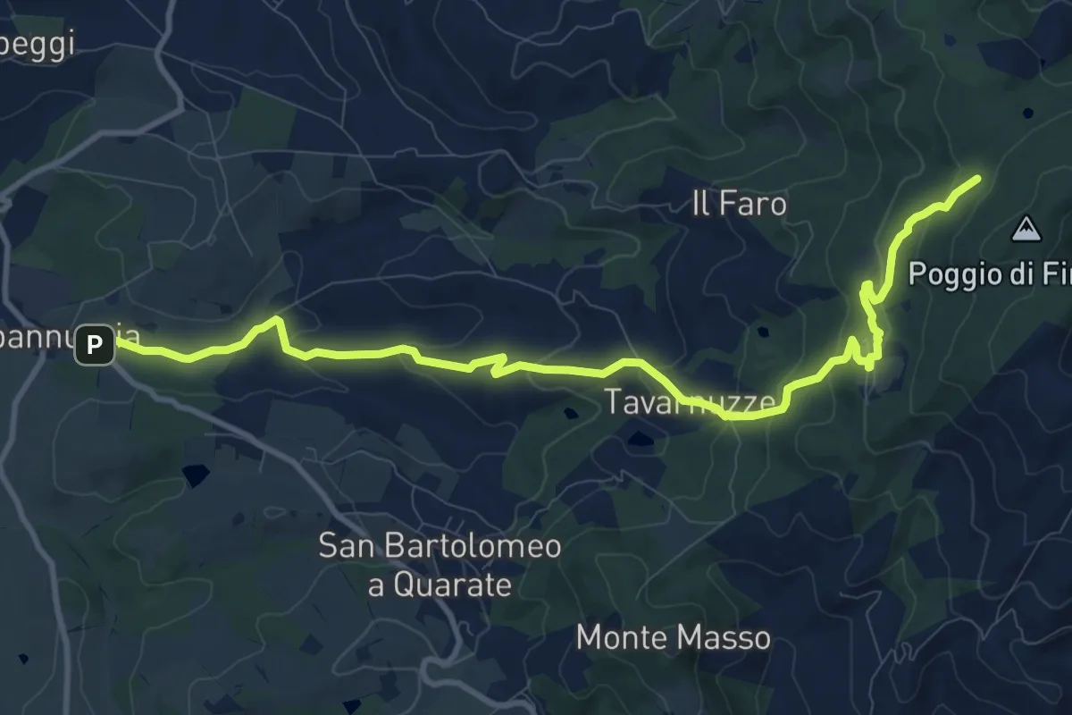
Medium · Cabin
Capannuccia (Grassina) – Sorgente di Fonte Santa
12.7 km · ↑ 509 m · 4 h 5 min · 6 km away
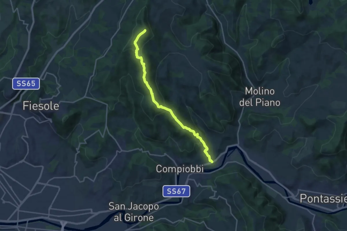
Medium · Summit
Poggio Pratone – Le Falle
14.5 km · ↑ 678 m · 4 h 53 min · 6 km away
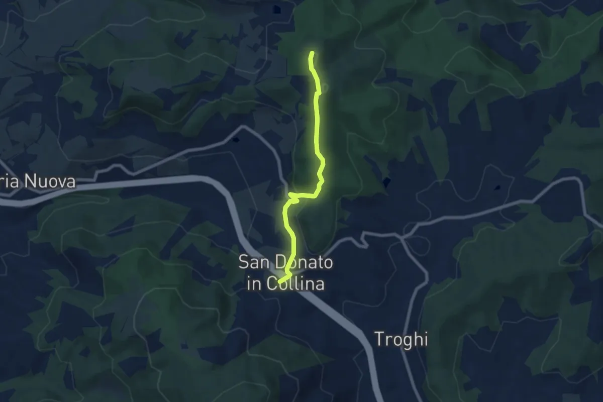
Easy · Summit
Sentiero 0 – da Poggio a Luco a San Donato in Collina
6.1 km · ↑ 172 m · 1 h 48 min · 6 km away
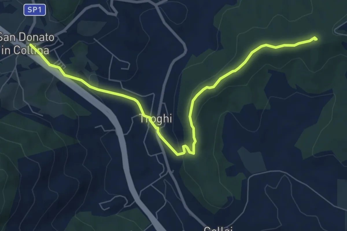
Easy · Summit
Rignano sull'Arno – Troghi
8.0 km · ↑ 250 m · 2 h 25 min · 6 km away
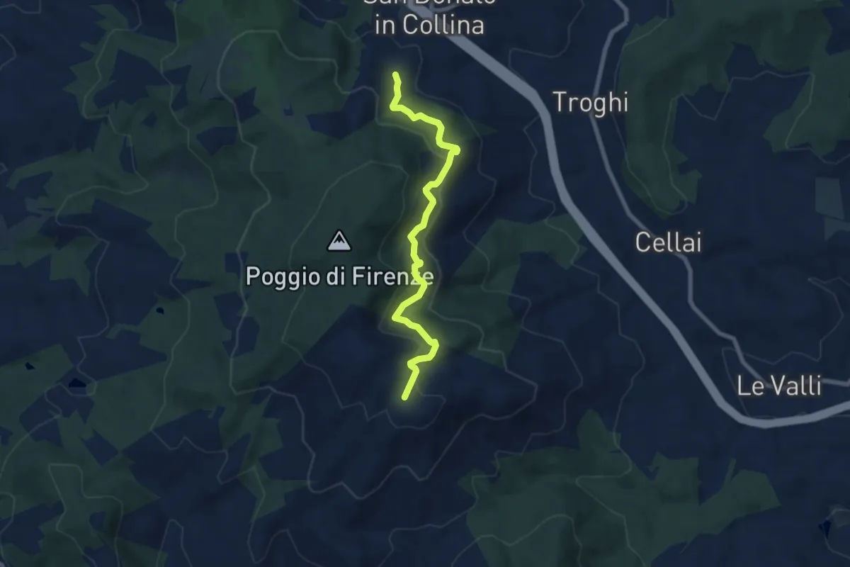
Medium · Trail
S. Donato in Collina – Casa al Monte
7.1 km · ↑ 427 m · 2 h 36 min · 6 km away
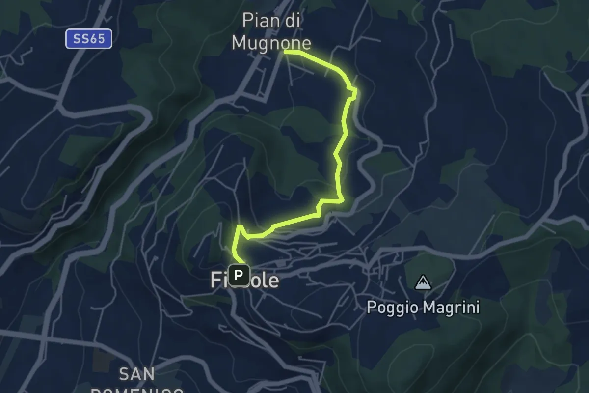
Easy · Trail
Fiesole – Indicatorio
4.4 km · ↑ 177 m · 1 h 26 min · 6 km away
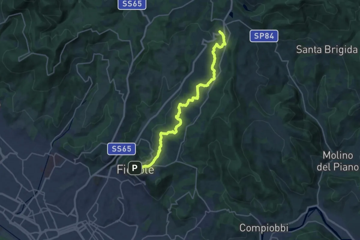
Demanding · Trail
Fiesole – Sentiero 00
19.7 km · ↑ 654 m · 6 h 4 min · 6 km away
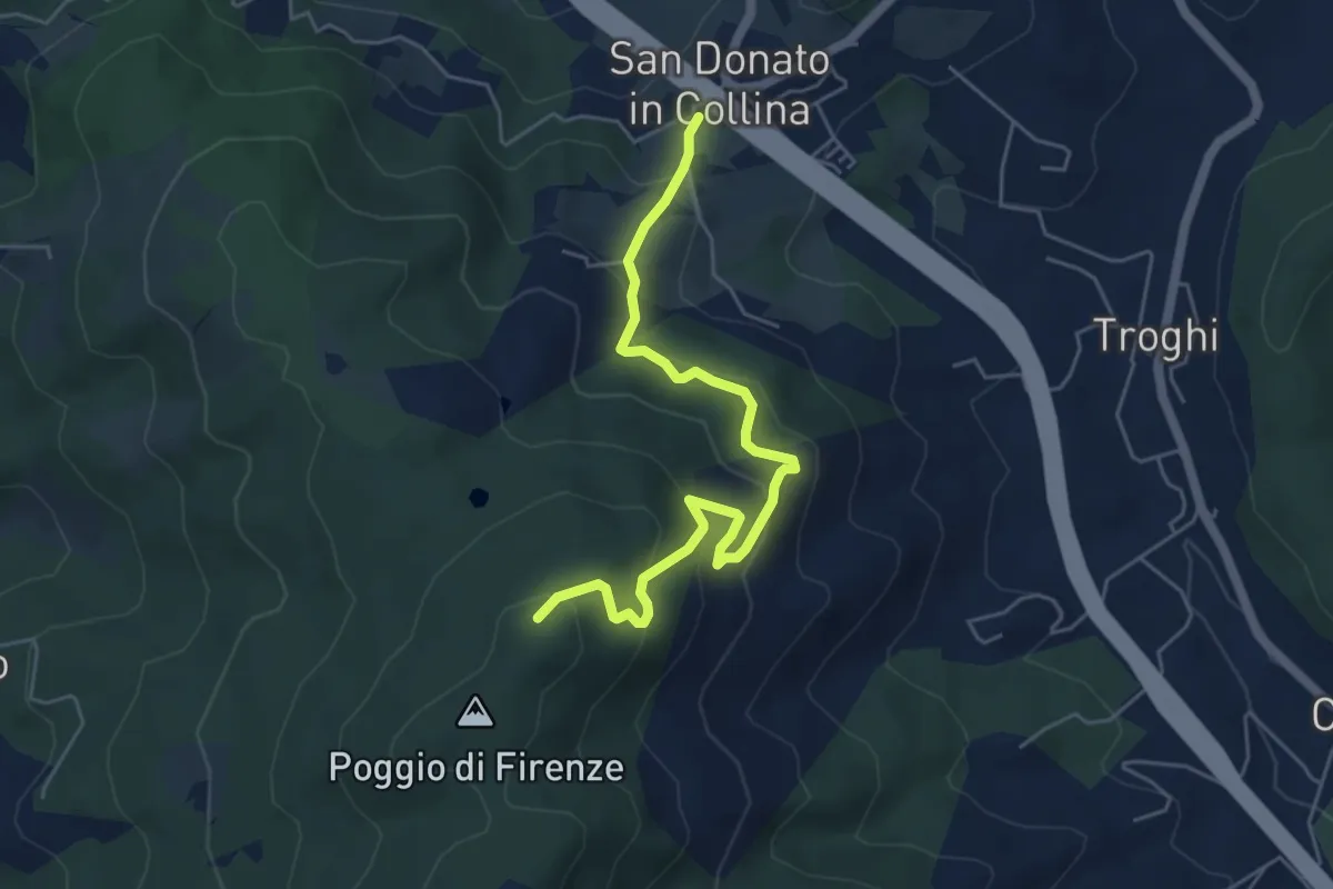
Medium · Trail
San Donato in Collina – Poggio di Firenze
5.9 km · ↑ 378 m · 2 h 13 min · 7 km away
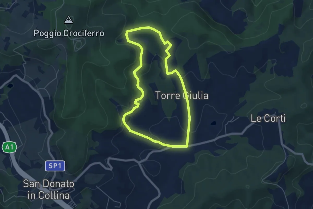
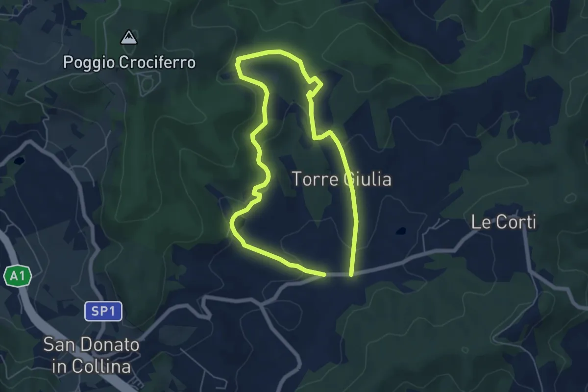
Easy · Trail
Percorso della Memoria
5.0 km · ↑ 143 m · 1 h 33 min · 7 km away
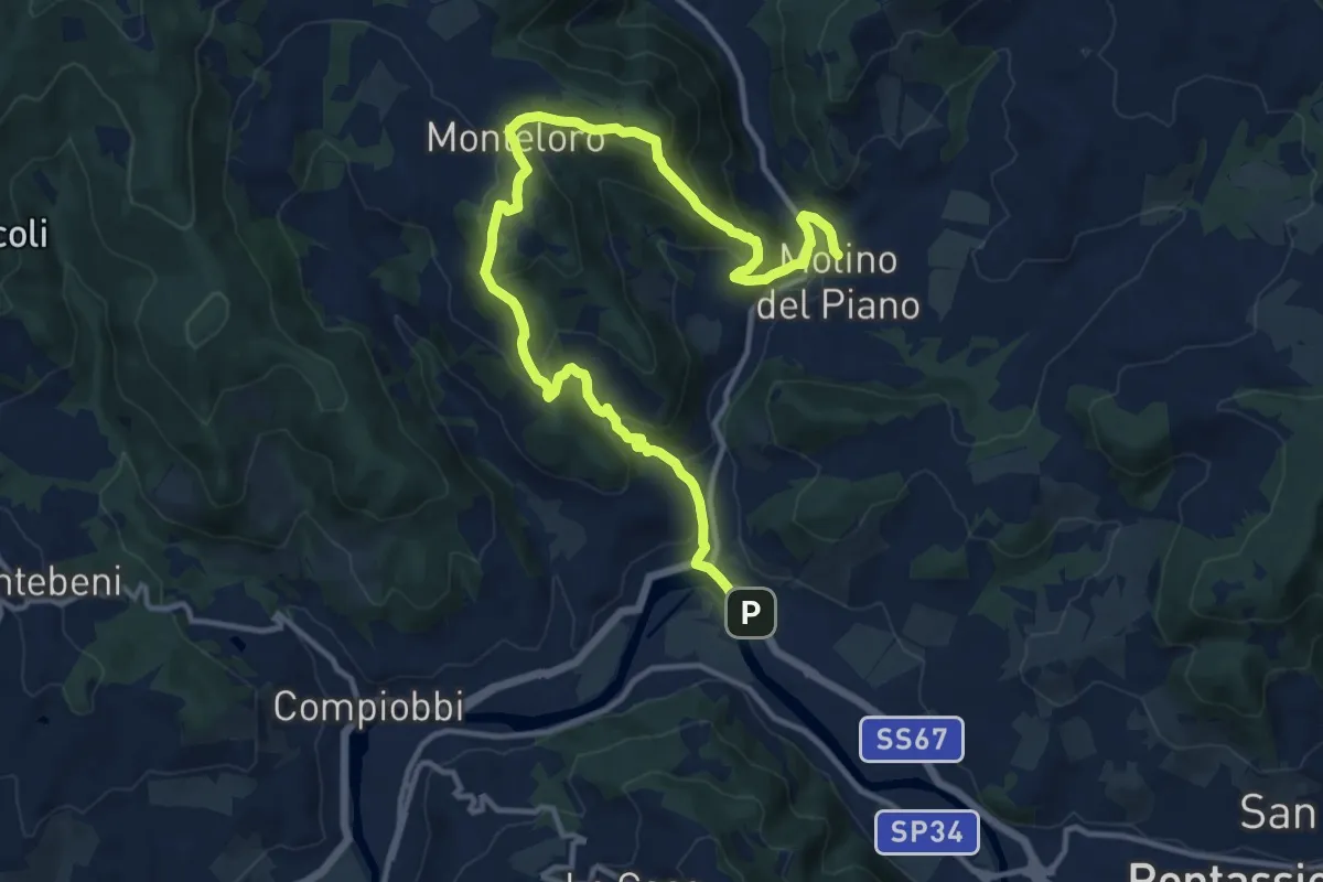
Medium · Trail
Il Fossato – Badiuzza
9.5 km · ↑ 264 m · 2 h 50 min · 7 km away
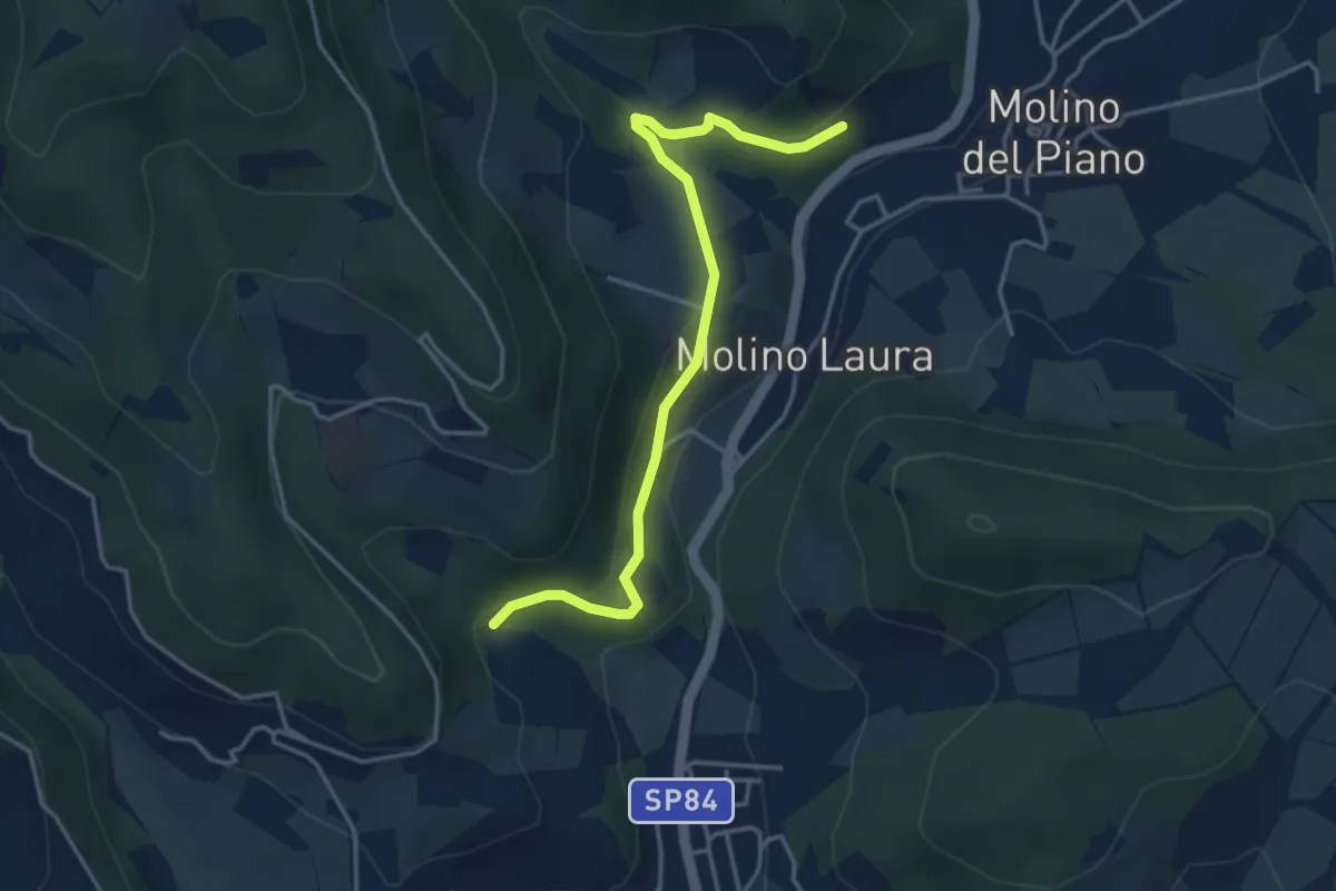
Medium · Trail
Sieci – Molin del Piano
17.1 km · ↑ 762 m · 5 h 41 min · 7 km away
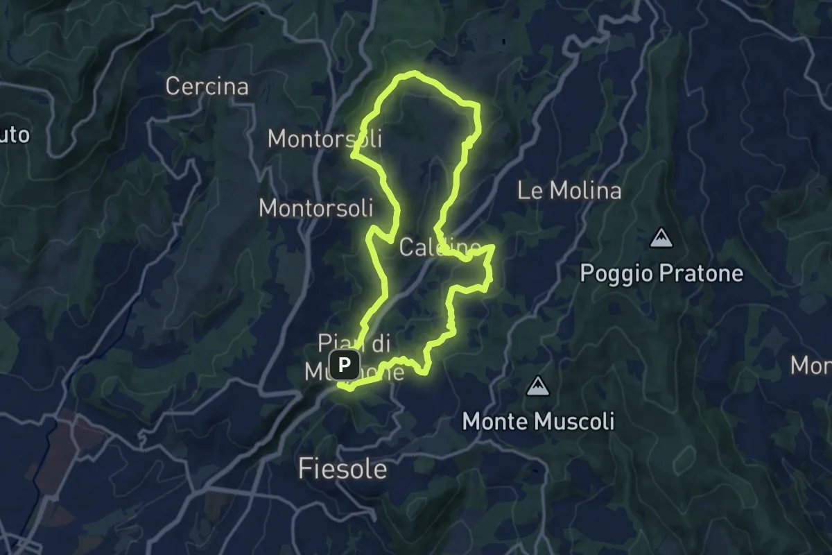
Easy · Trail
Sentiero 4 – Sentiero 4
4.2 km · ↑ 143 m · 1 h 19 min · 7 km away
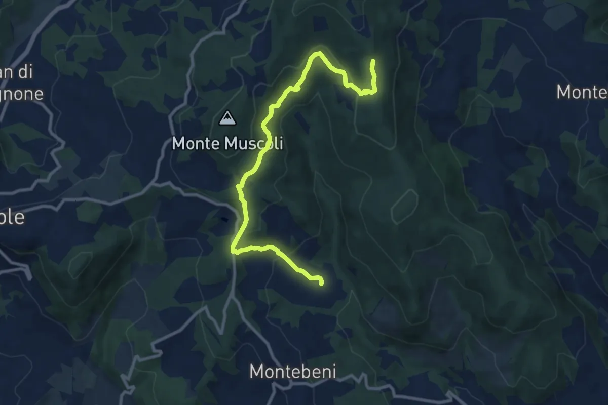
Medium · Summit
Pian di Mugnone – Pian di Mugnone
13.3 km · ↑ 432 m · 4 h 16 min · 8 km away
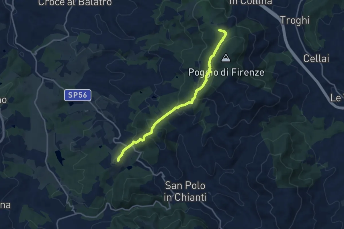
Medium · Trail
Ontignano – San Clemente
10.0 km · ↑ 413 m · 3 h 15 min · 8 km away
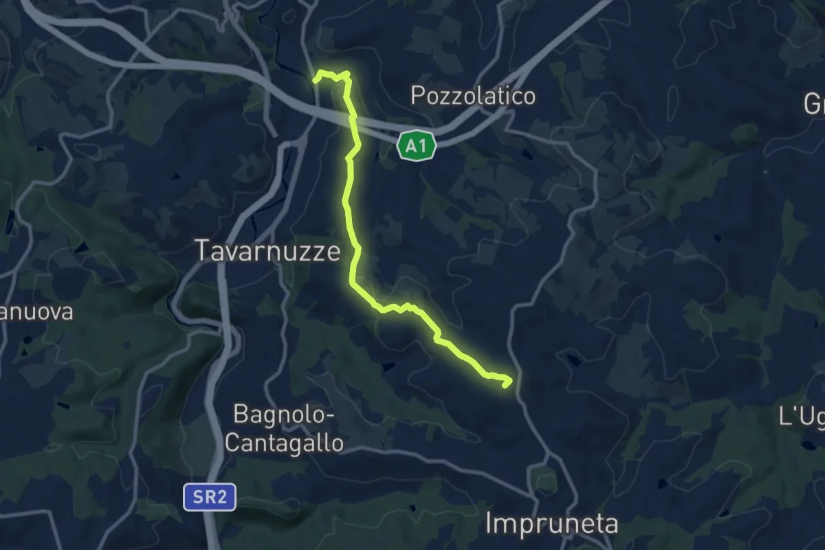
Medium · Summit
San Donato in Collina – SantoStefano a Tizzano
10.7 km · ↑ 474 m · 3 h 33 min · 8 km away
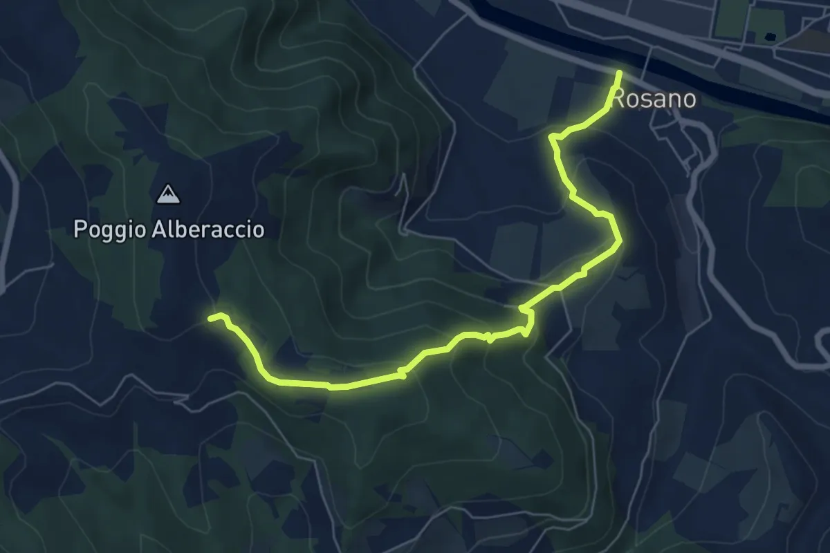
Medium · Summit
Bottai – Impruneta
9.6 km · ↑ 257 m · 2 h 50 min · 8 km away
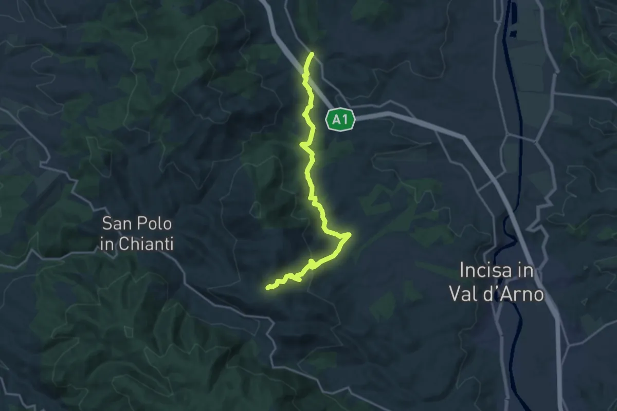
Medium · Trail
Rosano – Poggio Alberaccio
6.9 km · ↑ 369 m · 2 h 26 min · 8 km away
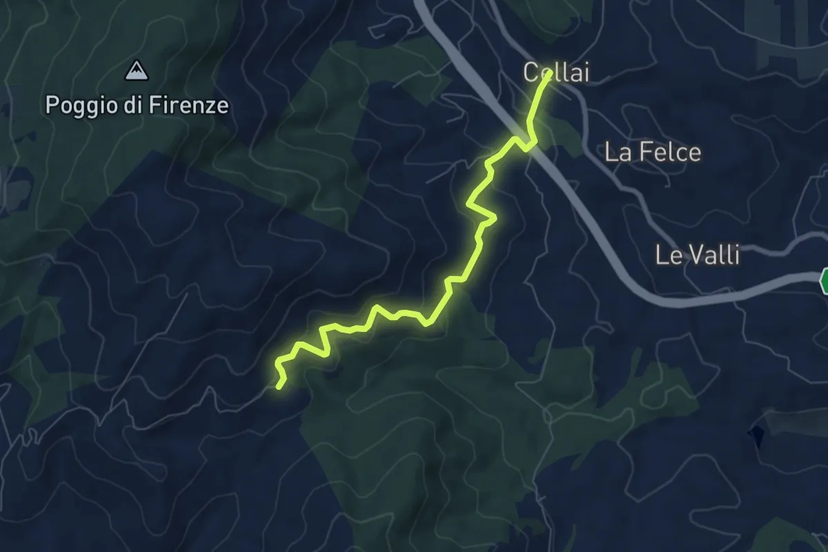
Medium · Trail
Cellai – sent. 00
15.0 km · ↑ 470 m · 4 h 34 min · 8 km away
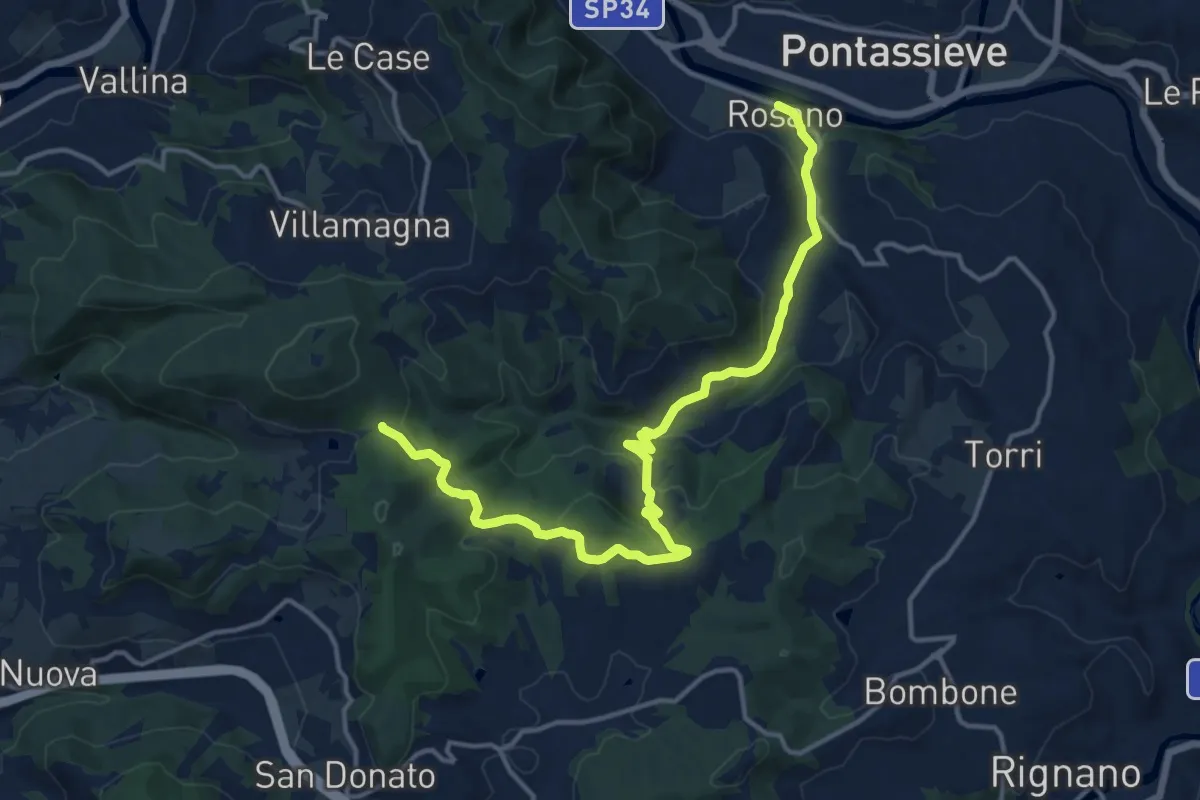
Medium · Trail
Cellai – Fabiano
7.1 km · ↑ 347 m · 2 h 25 min · 8 km away
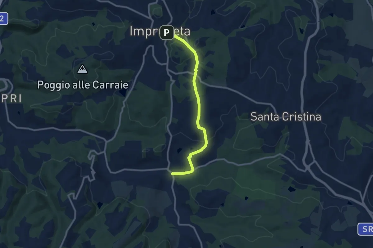
Medium · Trail
Rosano – Valico Di Terzano
16.9 km · ↑ 480 m · 5 h 1 min · 9 km away
Medium · Trail
Il Ferrone – Impruneta
8.1 km · ↑ 191 m · 2 h 20 min · 9 km away
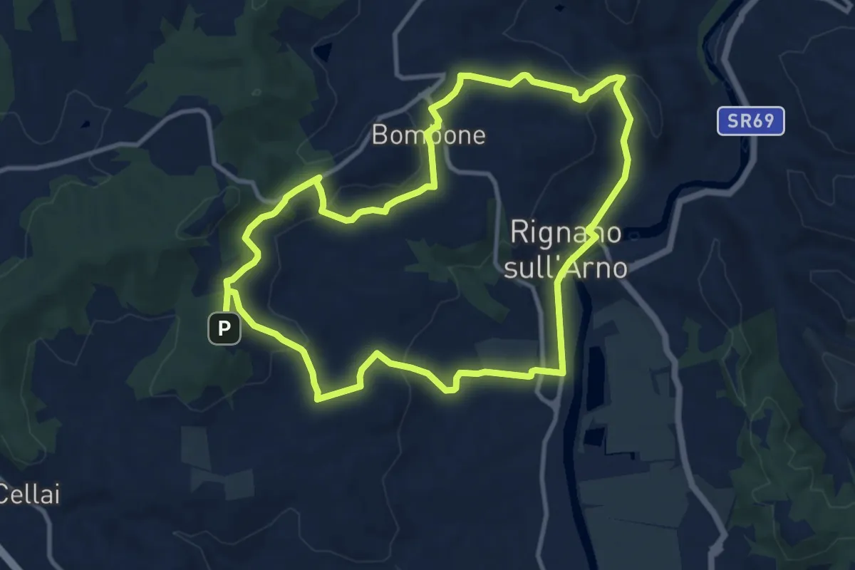
Medium · Trail
Percorso "Pievi, Chiese e Castelli"
10.6 km · ↑ 279 m · 3 h 16 min · 9 km away
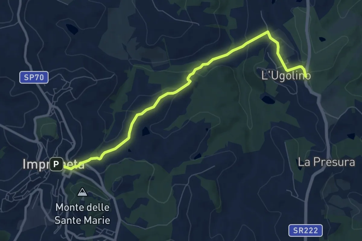
Medium · Trail
L'Ugolino – Impruneta
8.4 km · ↑ 269 m · 2 h 34 min · 9 km away
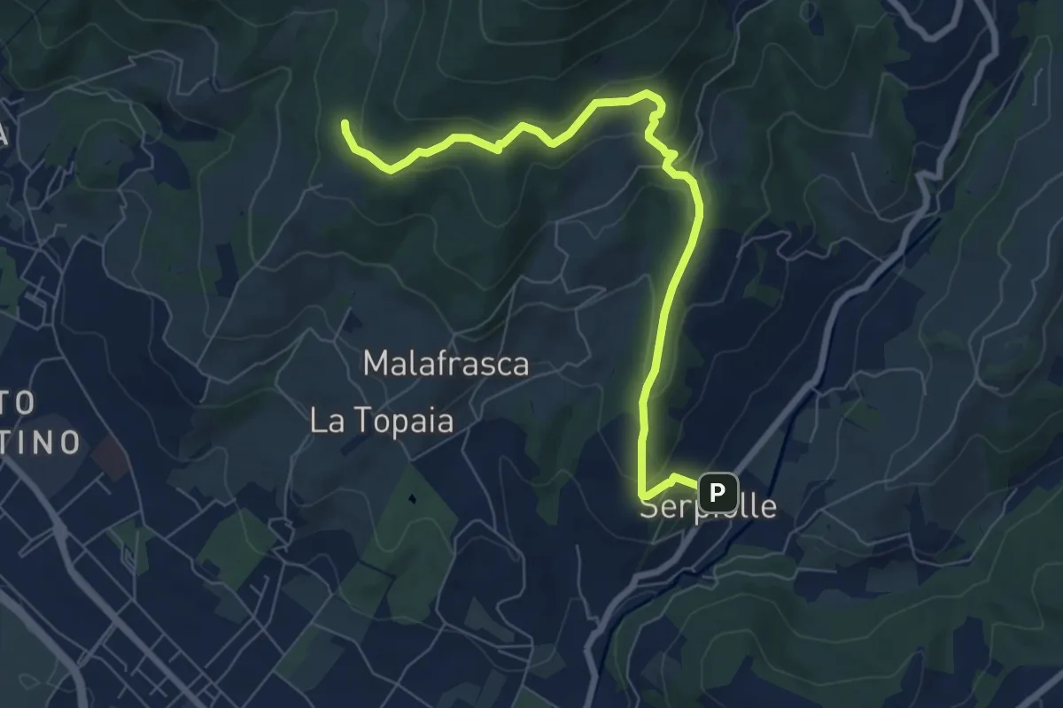
Medium · Trail
Serpiolle – Quota 328 sentiero 4
7.9 km · ↑ 360 m · 2 h 39 min · 9 km away
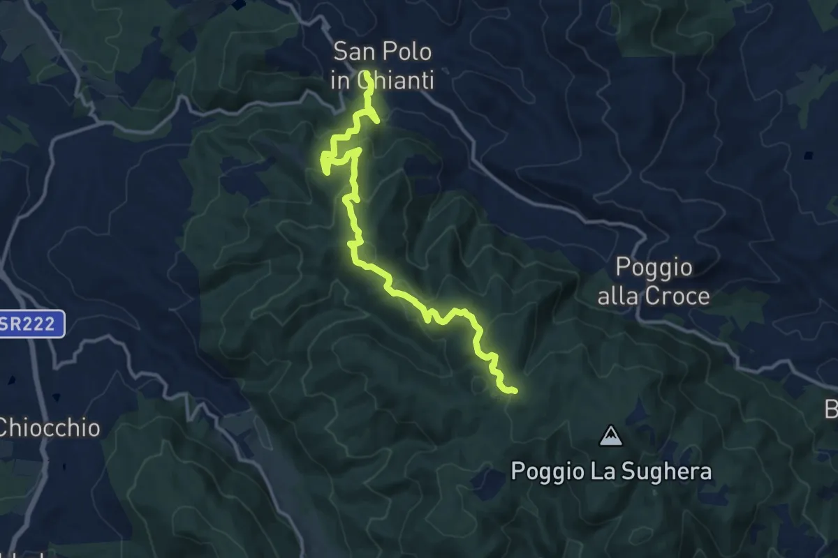
Medium · Trail
San Polo in Chianti – Croce ai Trogoli
13.6 km · ↑ 767 m · 4 h 53 min · 9 km away
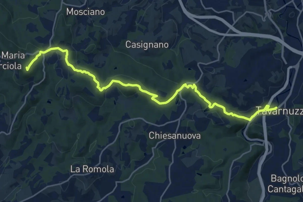
Medium · Summit
Lastra a Signa – Tavarnuzze
17.9 km · ↑ 527 m · 5 h 22 min · 9 km away
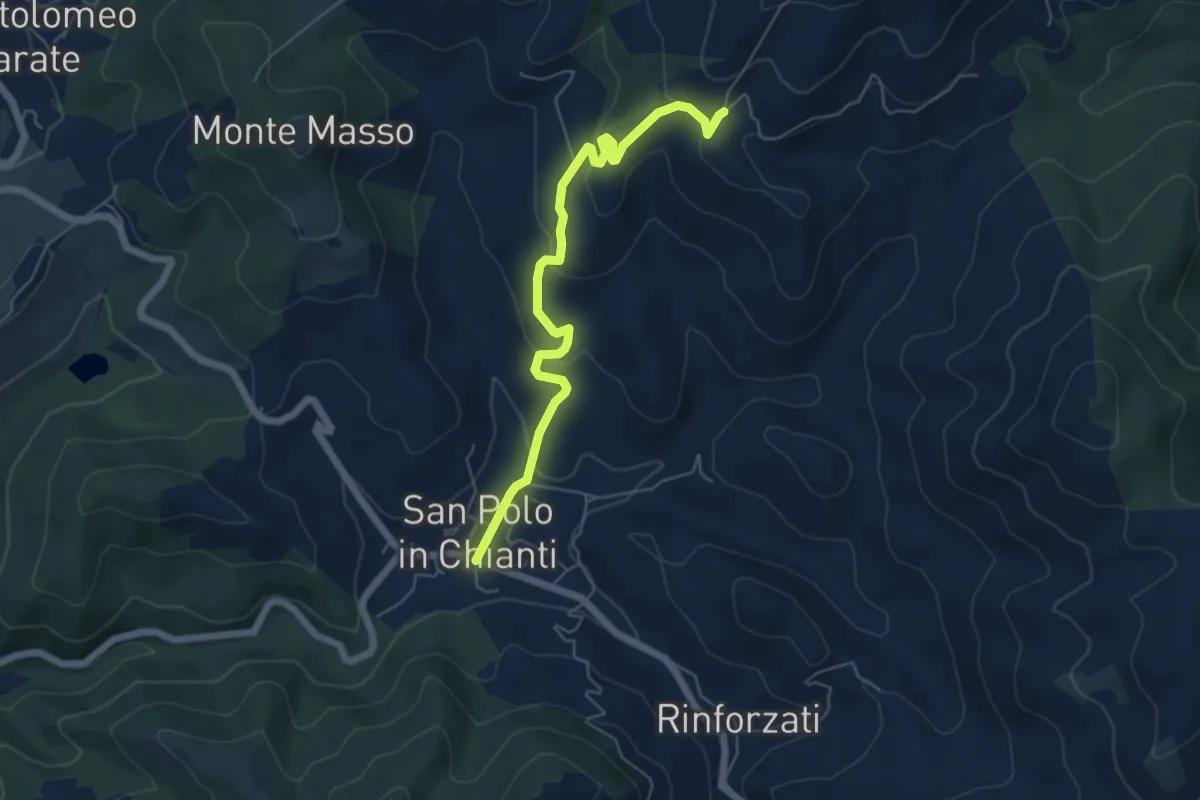
Easy · Trail
San Polo in Chianti – San Clemente in Panzalla
6.1 km · ↑ 234 m · 1 h 57 min · 10 km away
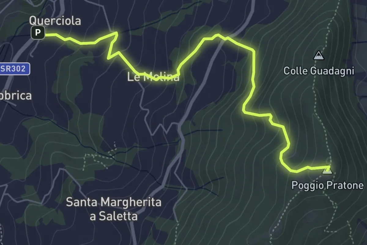
Medium · Summit
Cammino dell'acqua di Montereggi
6.8 km · ↑ 478 m · 2 h 39 min · 10 km away
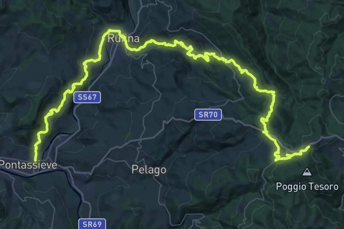
Demanding · Trail
Sentiero della Memoria
28.4 km · ↑ 1490 m · 9 h 53 min · 10 km away