Trails near Bagno a Ripoli
120 hikes starting within 15 km, nearest first.
Nearest first, page 2 of 3
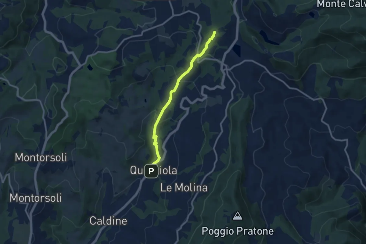
Medium · Summit
La Querciola – Poggio Capanne
7.7 km · ↑ 370 m · 2 h 37 min · 10 km away
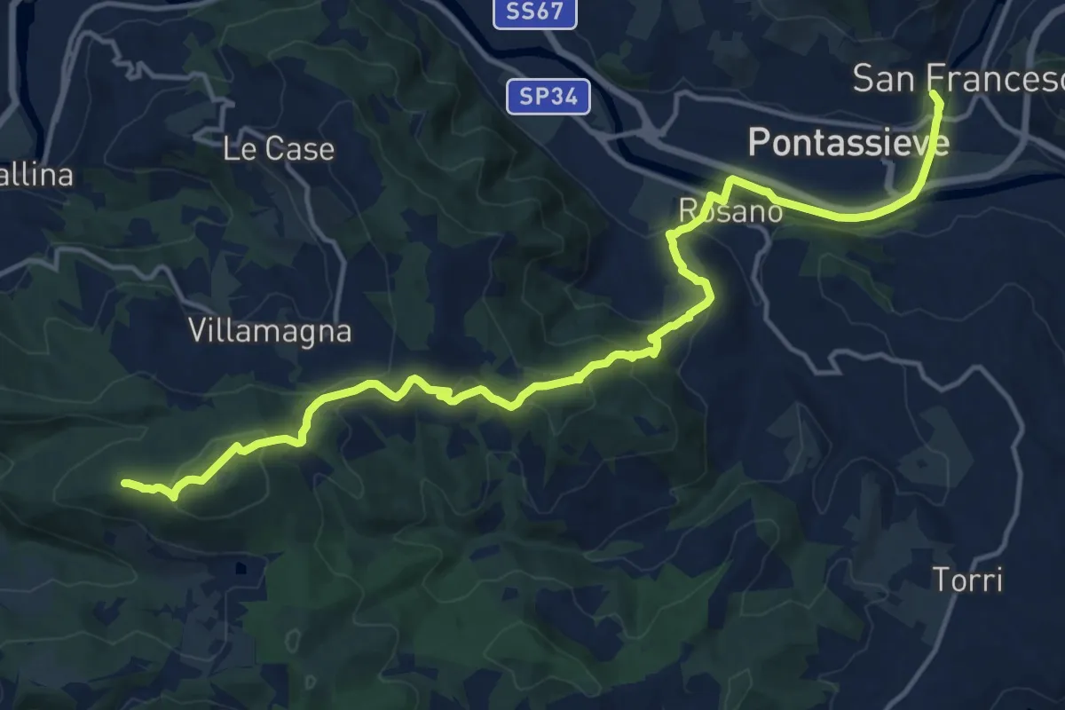
Demanding · Summit
Cammino di Dante - Tappa 10
18.2 km · ↑ 661 m · 5 h 44 min · 10 km away
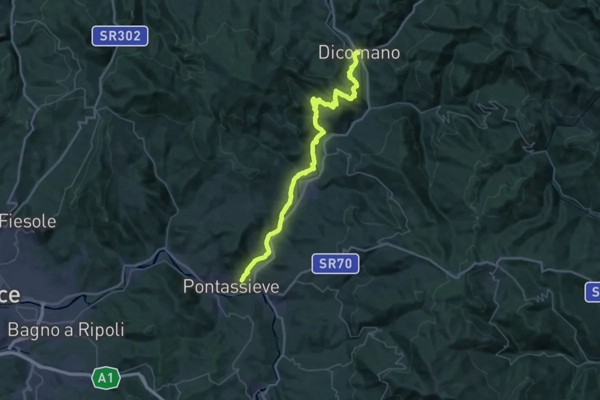
Demanding · Trail
Cammino di Dante - Tappa 9
20.7 km · ↑ 724 m · 6 h 44 min · 10 km away
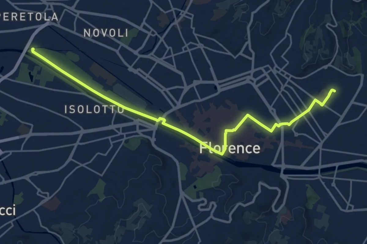
Demanding · Trail
Tappa 6 - Attraverso Firenze
18.6 km · ↑ 58 m · 4 h 31 min · 11 km away
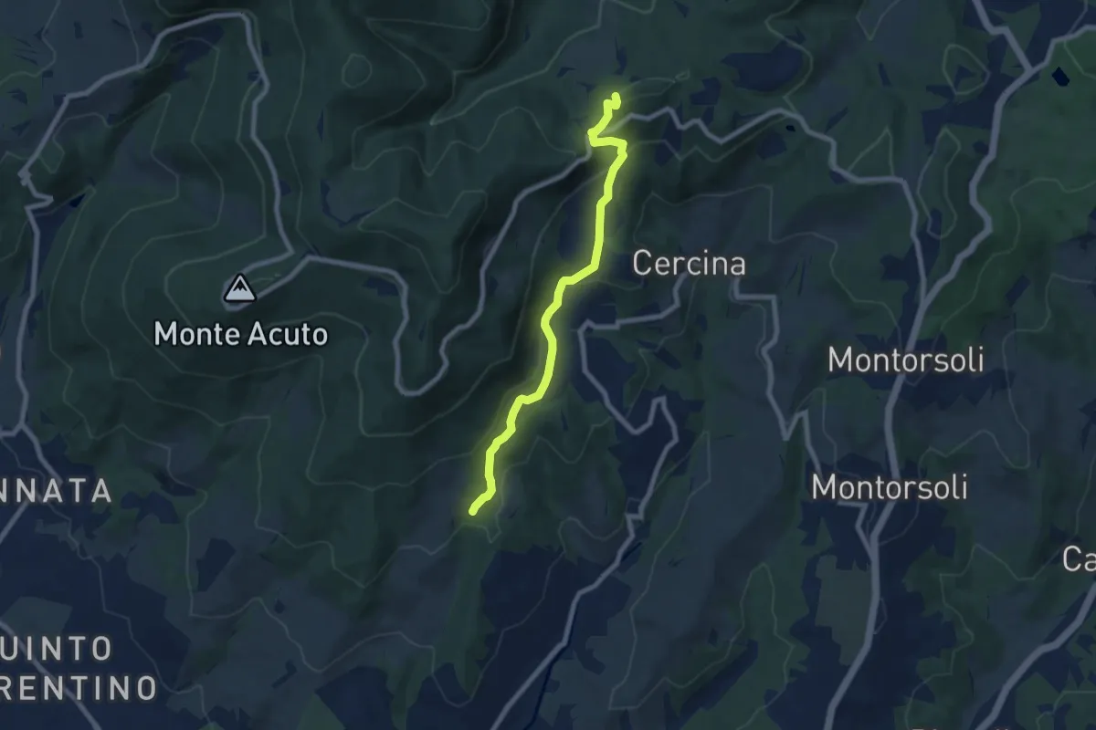
Medium · Summit
Percorso 5 – Caselline
7.5 km · ↑ 344 m · 2 h 31 min · 11 km away
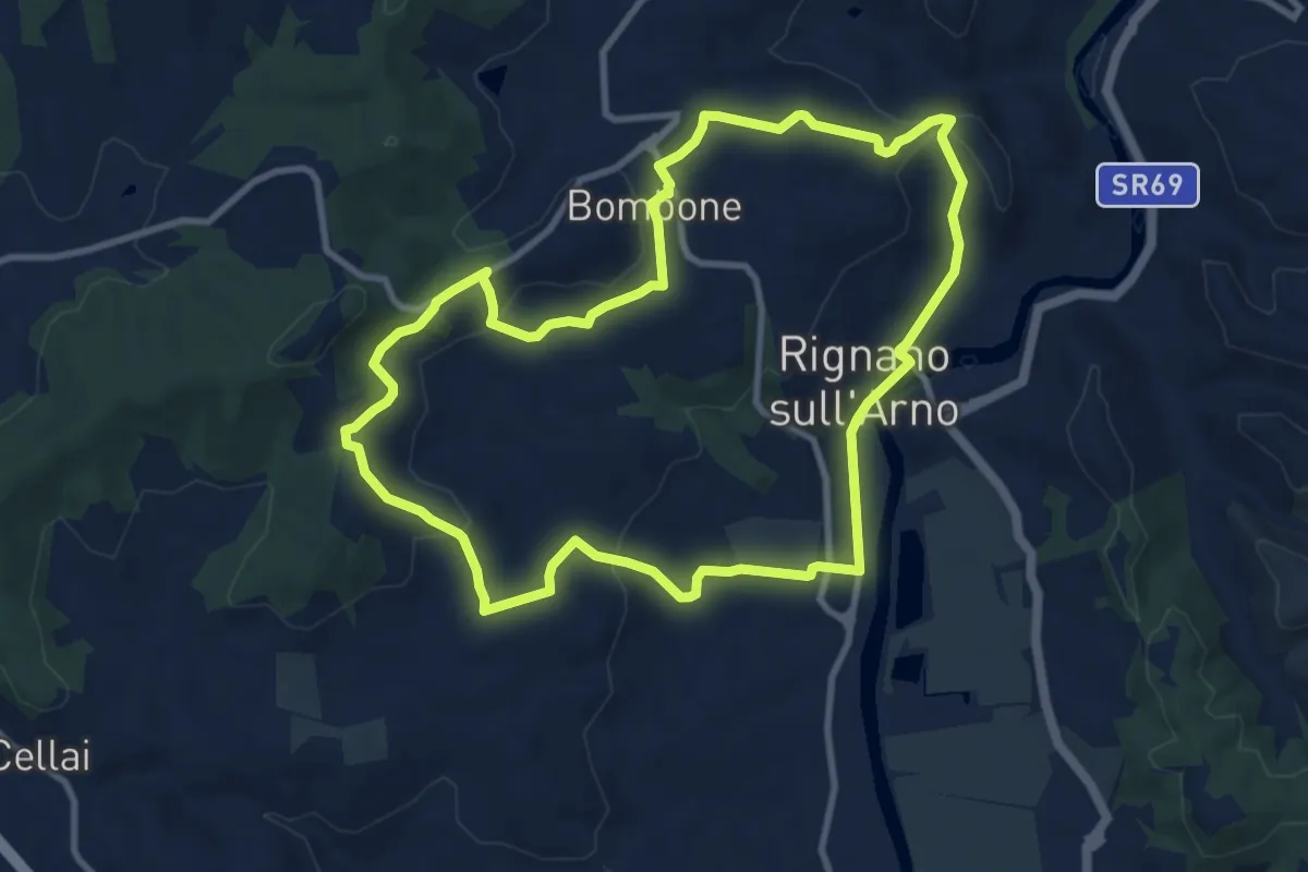
Medium · Trail
Rignano sull'Arno – Rignano sull'Arno
10.3 km · ↑ 284 m · 3 h 12 min · 11 km away
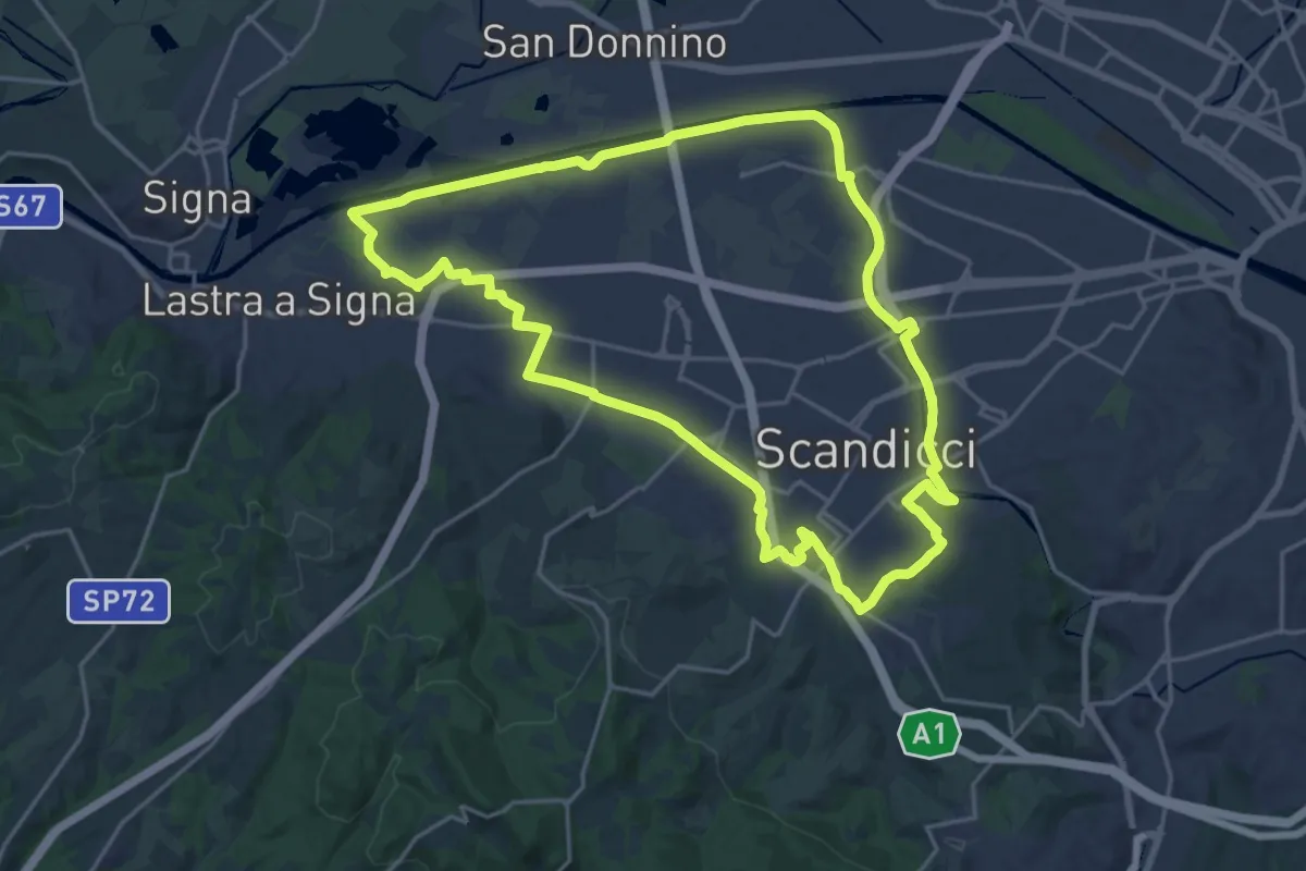
Demanding · Trail
La via dei tre fiumi
22.0 km · ↑ 70 m · 5 h 39 min · 11 km away
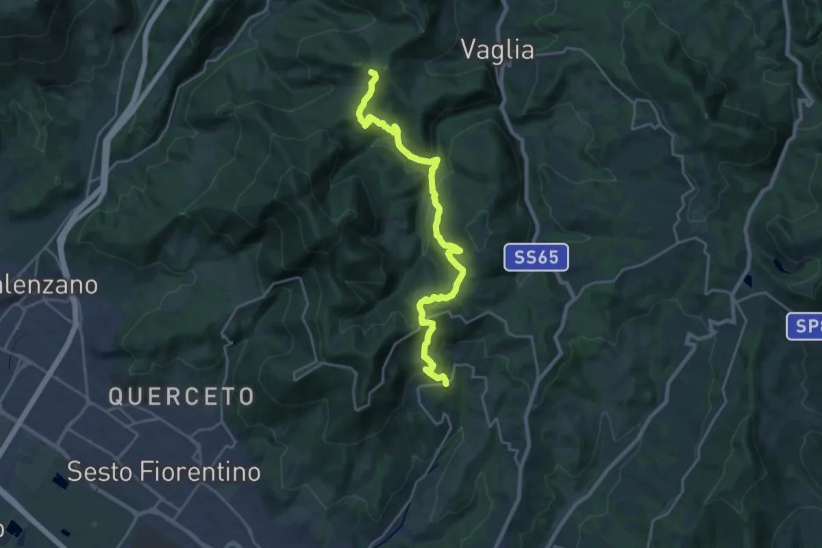
Demanding · Summit
Sentiero dei Castelli
20.2 km · ↑ 810 m · 6 h 32 min · 11 km away
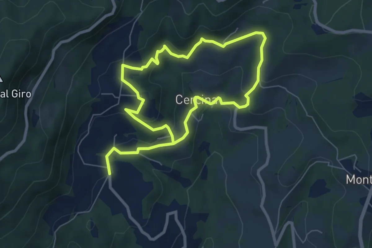
Easy · Trail
Chiesa di Cercina – Chiesa di Cercina
5.2 km · ↑ 237 m · 1 h 49 min · 11 km away
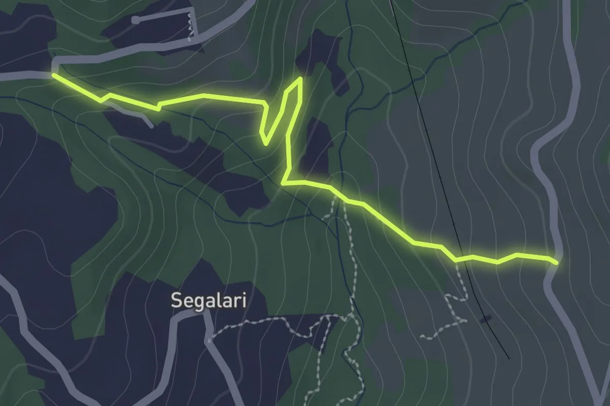
Easy · Trail
Via di Docciola (m. 300) – Incrocio sentiero 15 (m. 335)
3.2 km · ↑ 185 m · 1 h 9 min · 11 km away
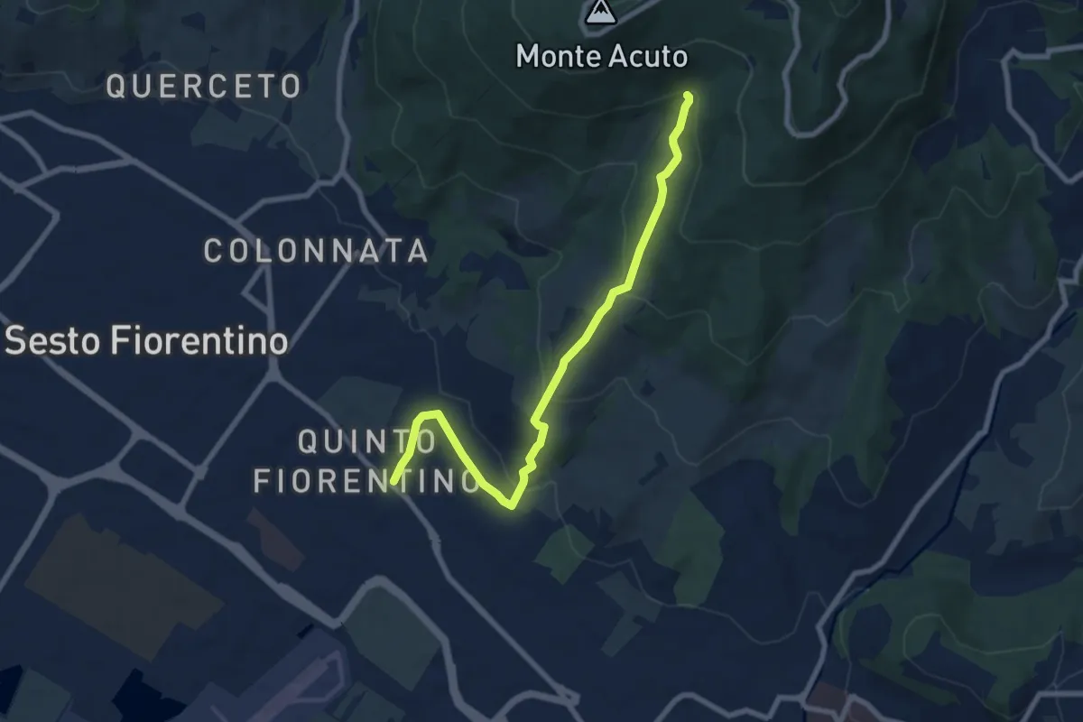
Medium · Trail
Parcheggio campo Atletica (m. 60) – Ponte Spartimoglie (m. 380 - sent. 3)
8.1 km · ↑ 355 m · 2 h 41 min · 11 km away
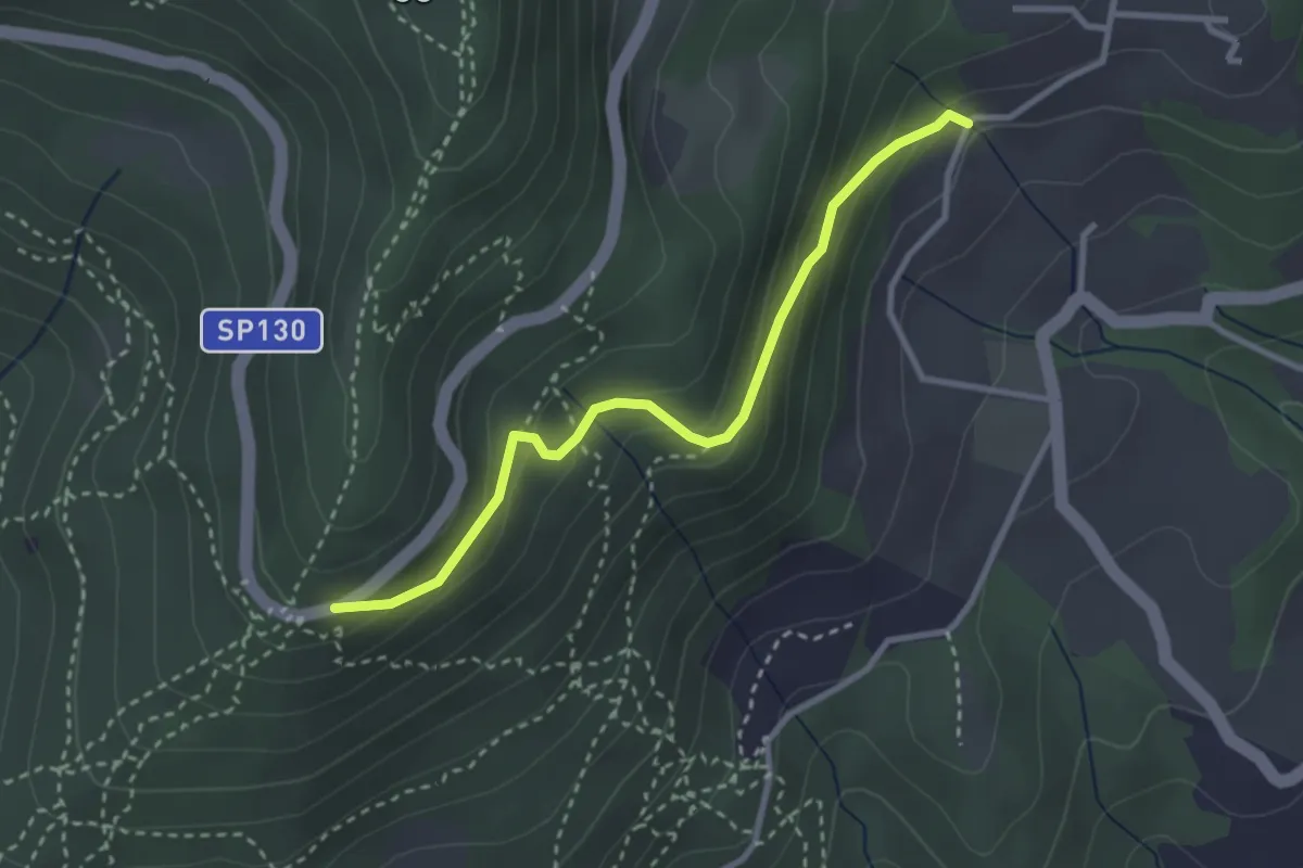
Easy · Trail
Piazzale Leonardo da Vinci – Podere Casaccia
3.1 km · ↑ 193 m · 1 h 9 min · 12 km away
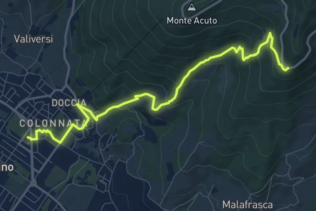
Medium · Trail
Colonnata – Piazzale Leonardo da Vinci
10.9 km · ↑ 516 m · 3 h 41 min · 12 km away
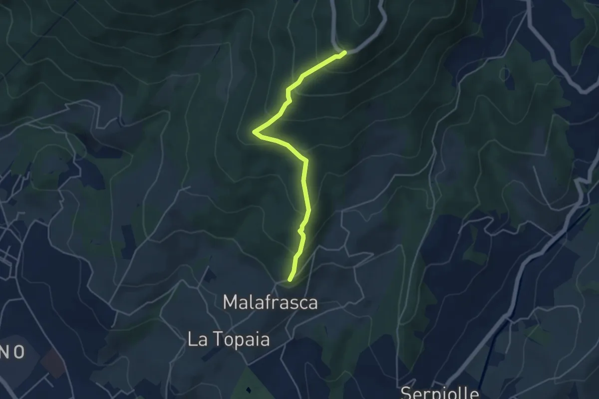
Medium · Trail
Via di Malafrasca – Piazzale L. da Vinci
4.2 km · ↑ 329 m · 1 h 42 min · 12 km away
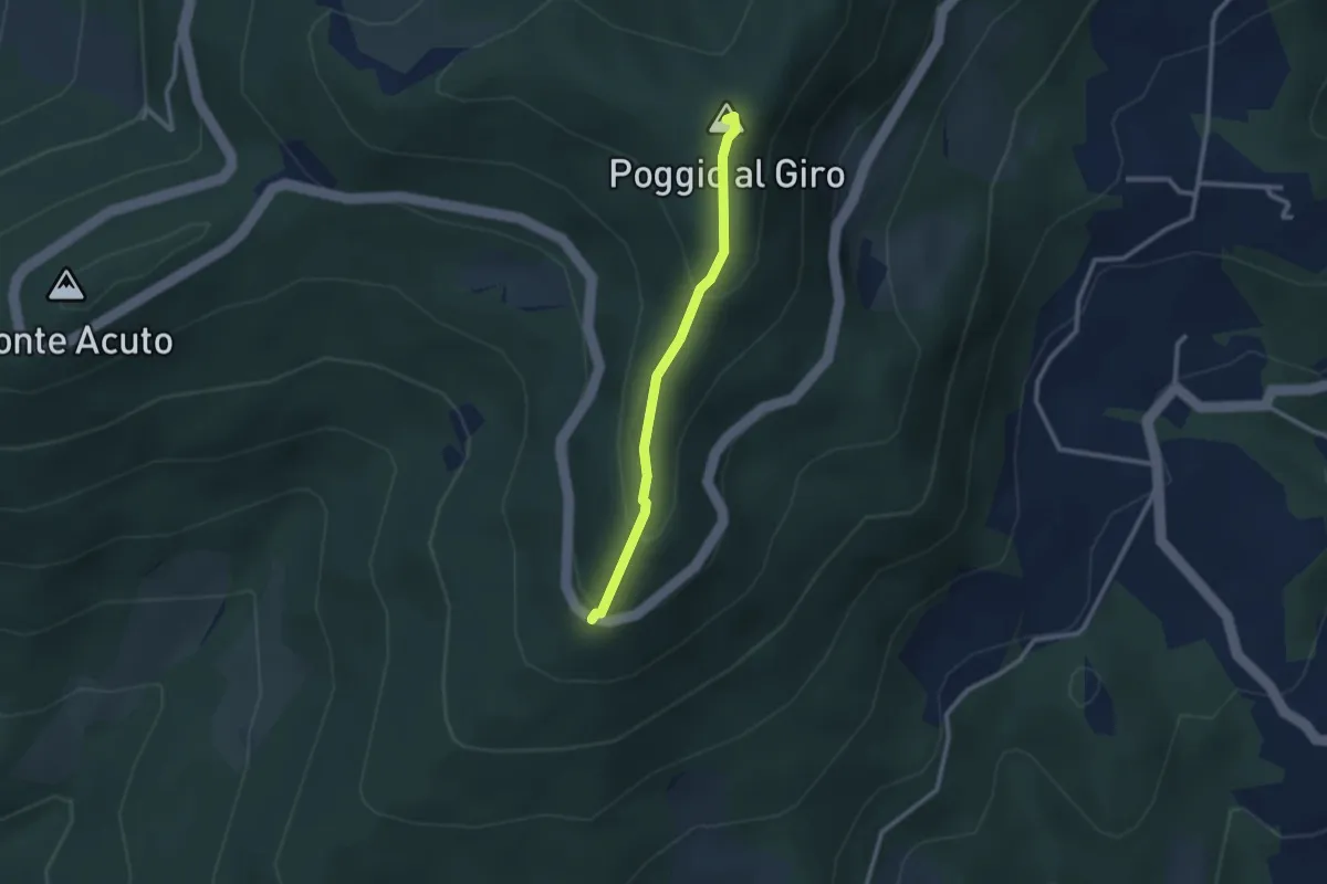
Easy · Summit
Piazzale L. da Vinci – Poggio al Giro
2.4 km · ↑ 164 m · 56 min · 12 km away
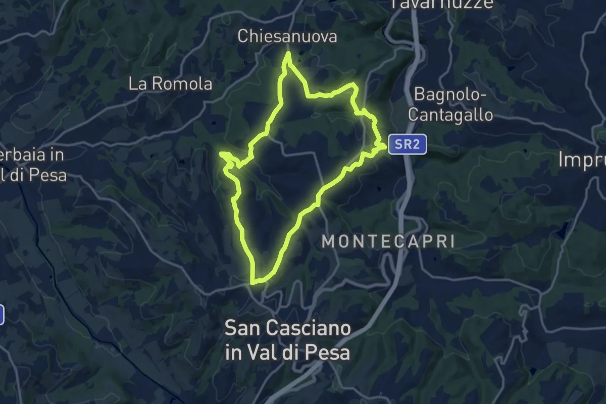
Medium · Trail
Anello del Principe
12.6 km · ↑ 326 m · 3 h 51 min · 12 km away
Demanding · Trail
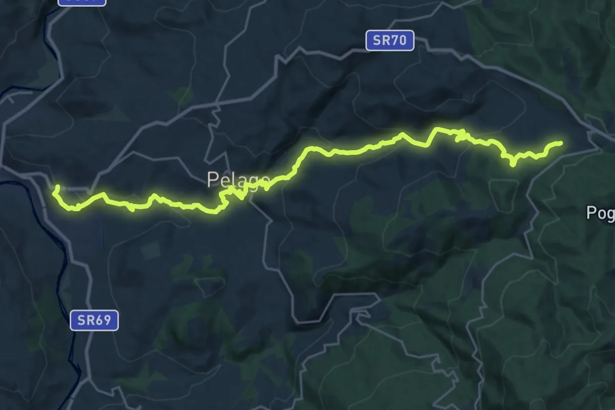
Palaie – Podernovo
13.2 km · ↑ 964 m · 5 h · 12 km away
Medium · Summit
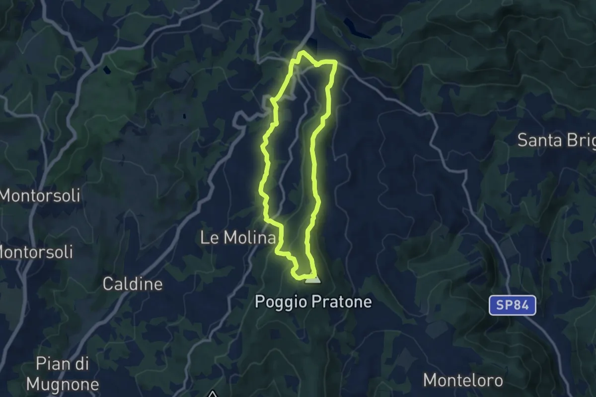
Olmo – Olmo
9.0 km · ↑ 359 m · 3 h 2 min · 12 km away
Easy · Trail
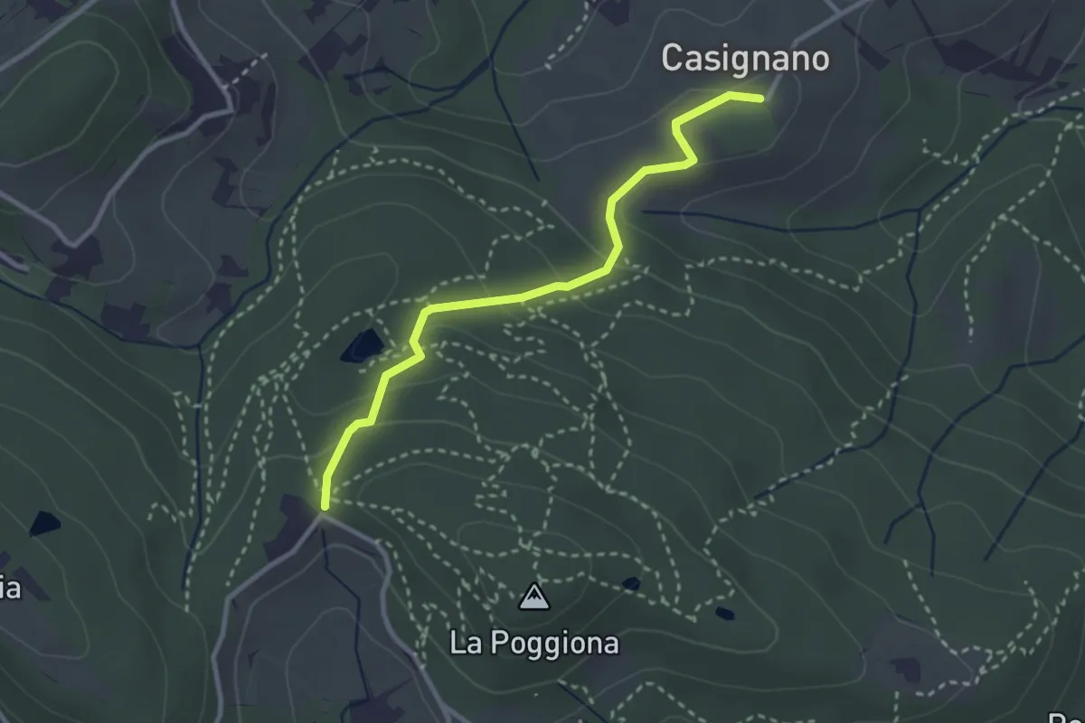
Casignano – La Catena
3.0 km · ↑ 126 m · 58 min · 12 km away
Easy · Trail
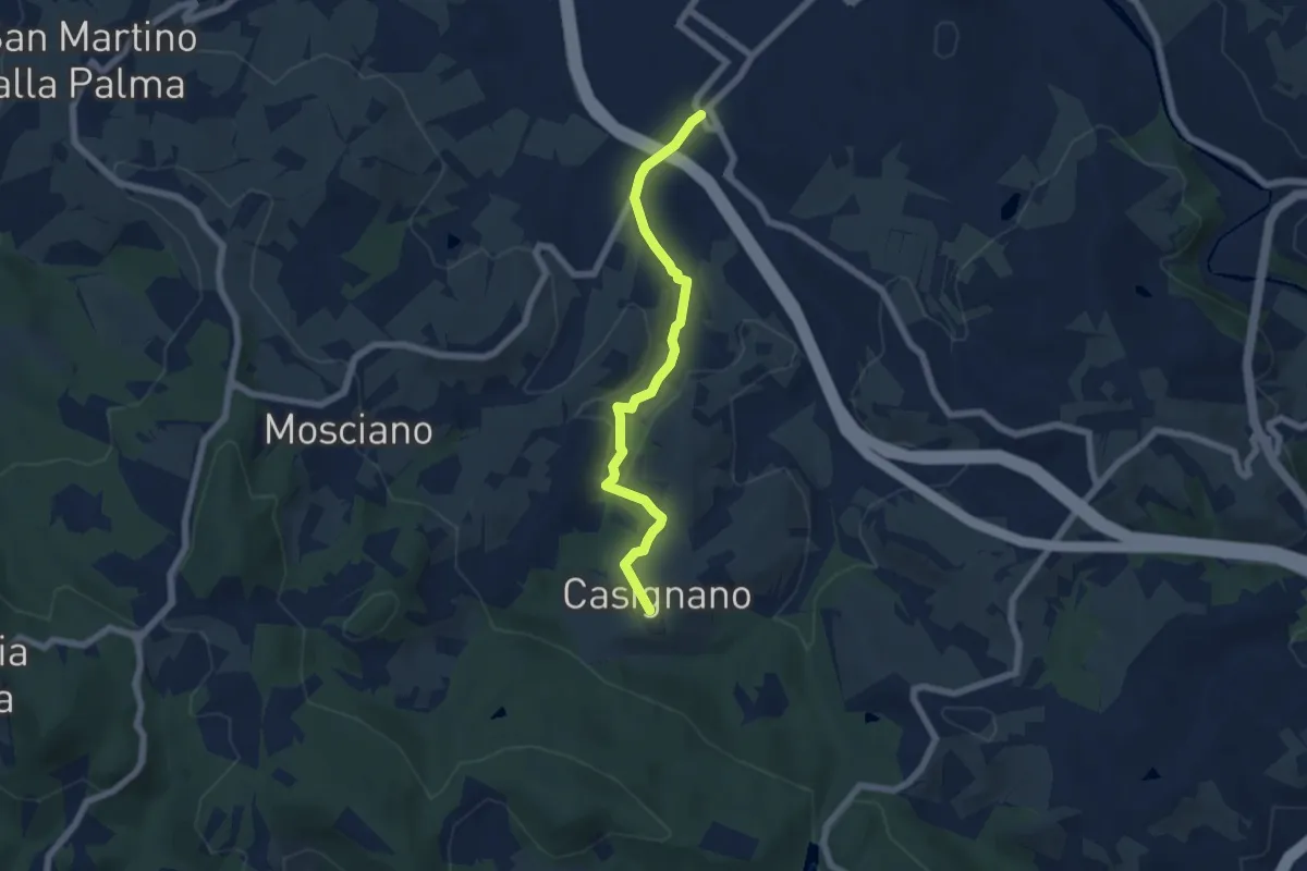
Vingone – Casignano (innesto Percorso 736)
6.3 km · ↑ 161 m · 1 h 51 min · 12 km away
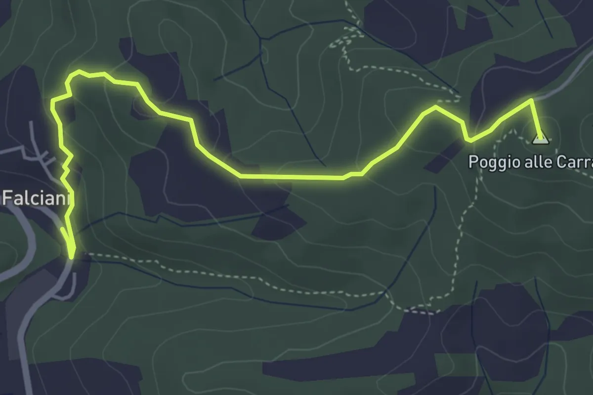
Easy · Summit
Falciani – Impruneta
5.3 km · ↑ 220 m · 1 h 44 min · 12 km away
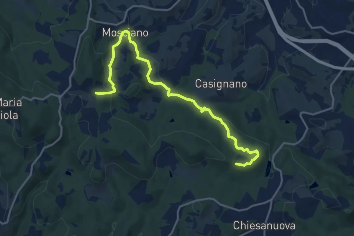
Medium · Trail
Sentiero 730 (Podere Leone) – Il Cerro
10.7 km · ↑ 364 m · 3 h 19 min · 12 km away
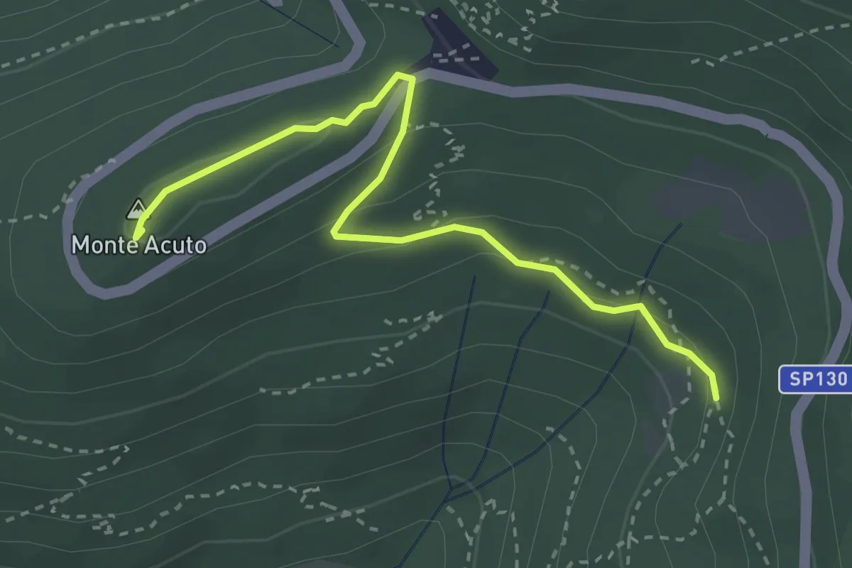
Medium · Summit
Incrocio sentiero 3 – Incrocio sentiero 602
3.3 km · ↑ 101 m · 59 min · 12 km away
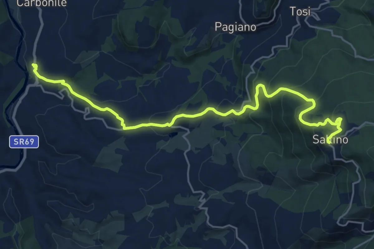
Demanding · Trail
Percorso ex ferrovia a cremagliera Sant'Ellero Saltino
17.4 km · ↑ 883 m · 6 h 1 min · 12 km away
Medium · Trail
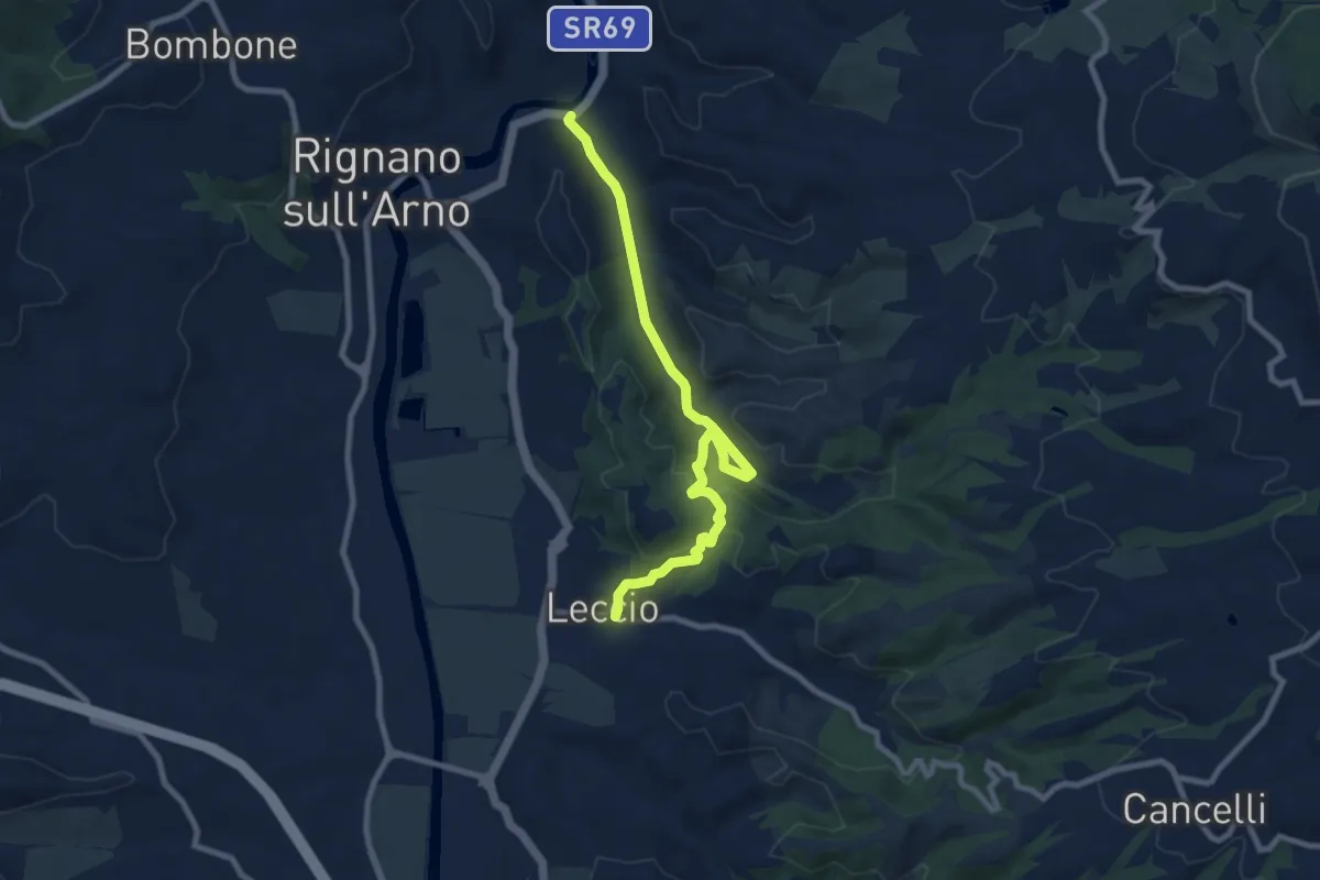
S.R. 69 / Marnia – Leccio
9.4 km · ↑ 251 m · 2 h 46 min · 12 km away
Demanding · Summit
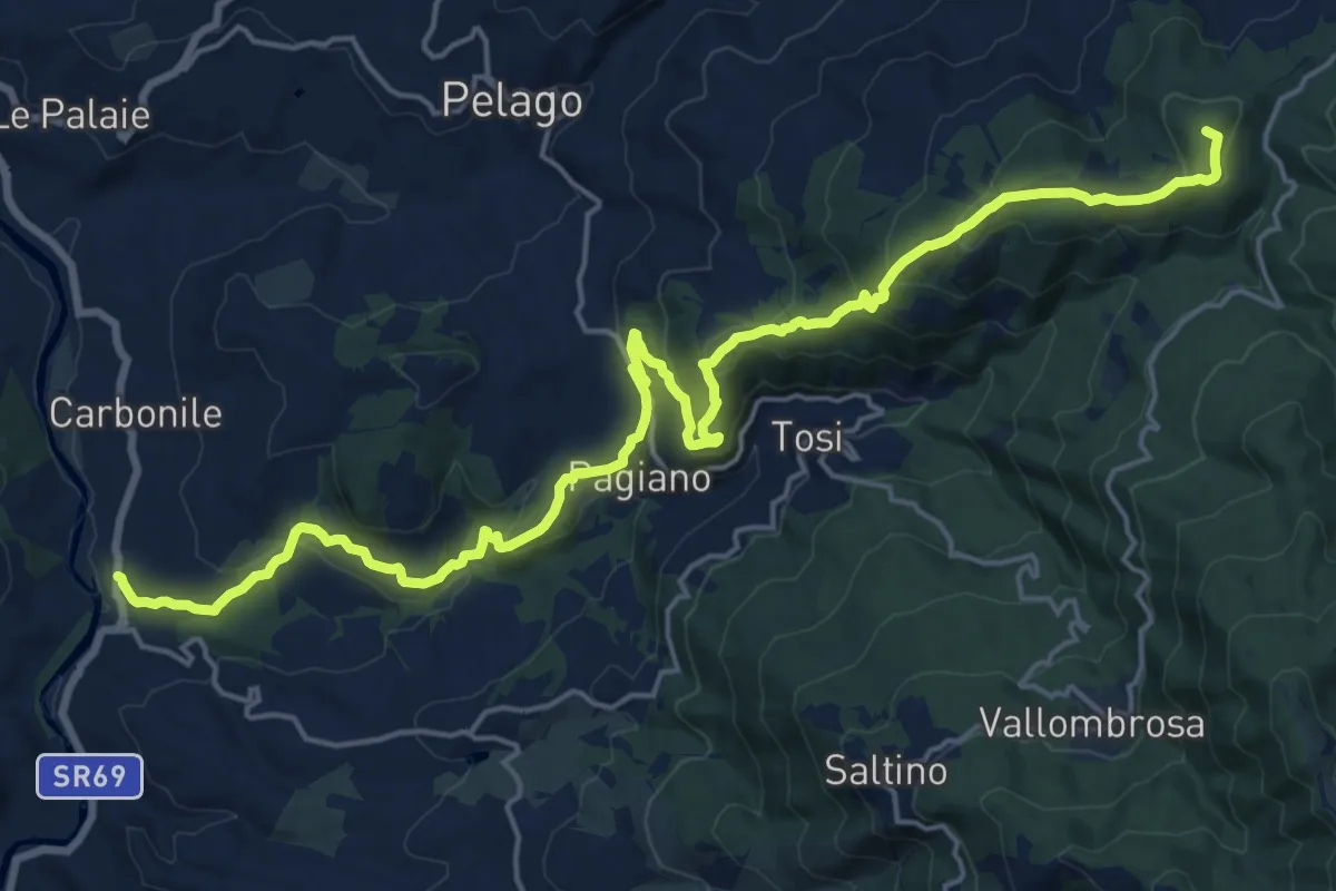
Sant'Ellero – Consuma
25.0 km · ↑ 1091 m · 8 h 16 min · 12 km away
Medium · Trail
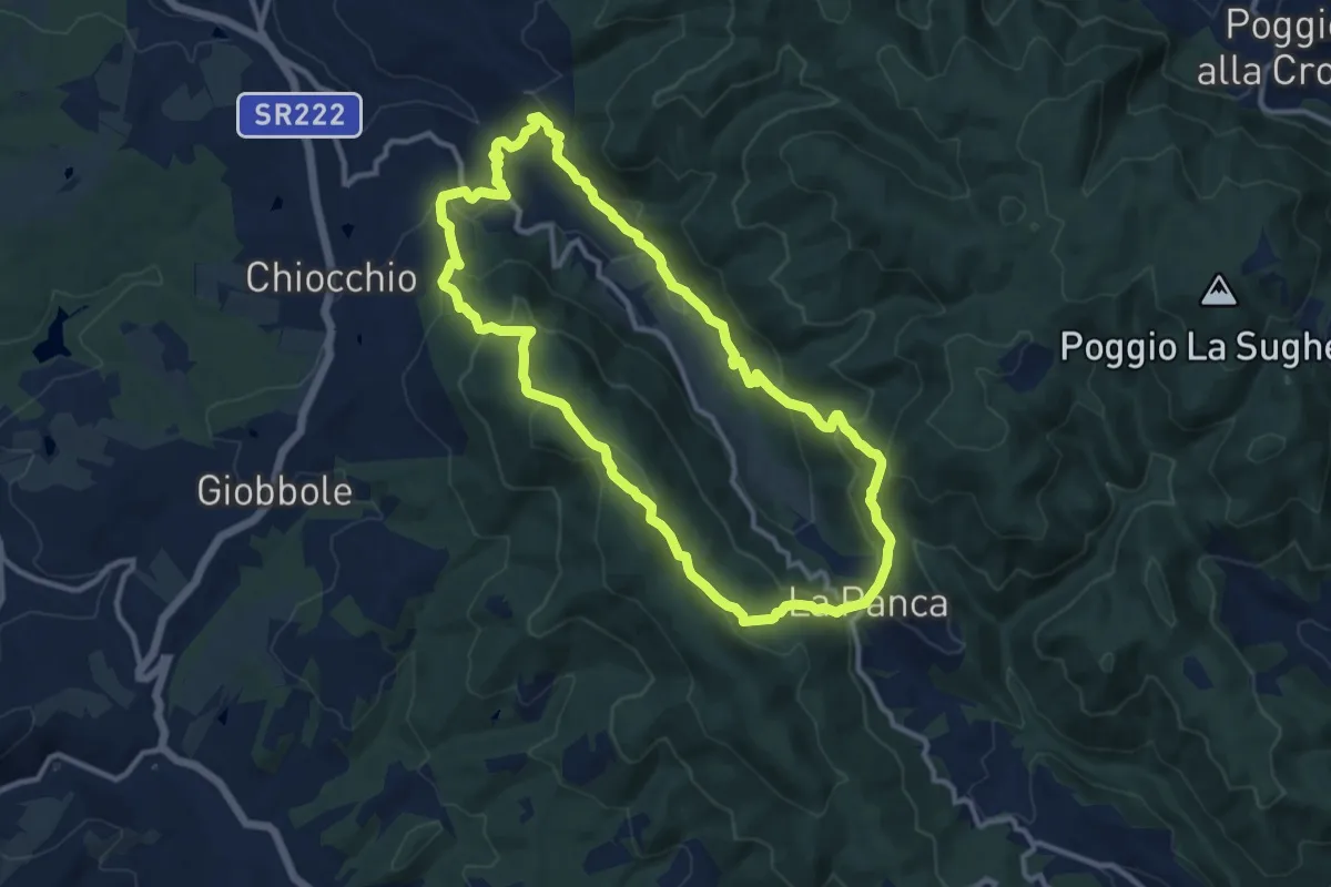
Anello di Cintoia
11.4 km · ↑ 596 m · 4 h 9 min · 12 km away
Easy · Trail
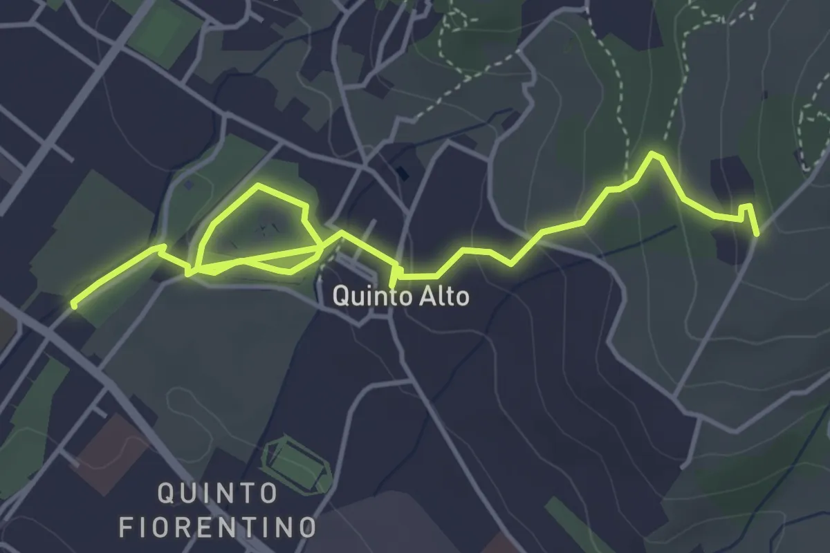
Parcheggio via Gramsci – Sentiero 4 (quota 250 m)
5.4 km · ↑ 182 m · 1 h 41 min · 12 km away
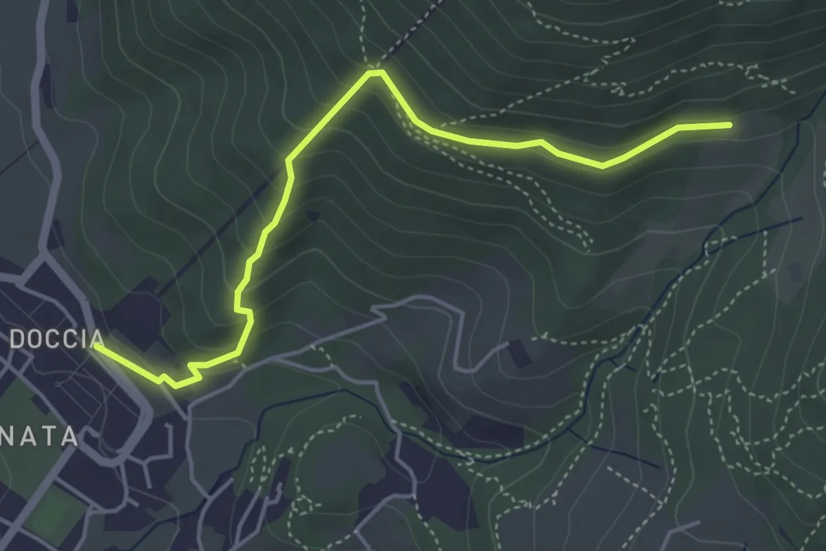
Easy · Trail
Colonnata – Casa Solatio
4.7 km · ↑ 288 m · 1 h 45 min · 12 km away
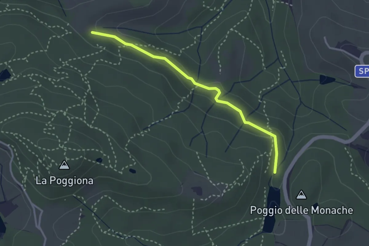
Easy · Trail
Casignano – Lago di Chiesanuova
3.0 km · ↑ 68 m · 51 min · 12 km away
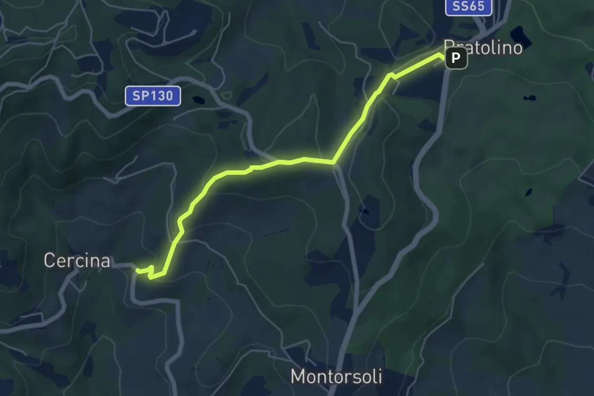
Easy · Trail
Sentiero del Piovano
5.4 km · ↑ 208 m · 1 h 43 min · 12 km away
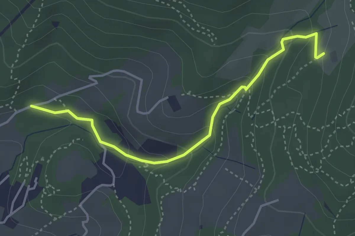
Easy · Trail
Colonnata – Carmignanello
3.6 km · ↑ 202 m · 1 h 18 min · 12 km away
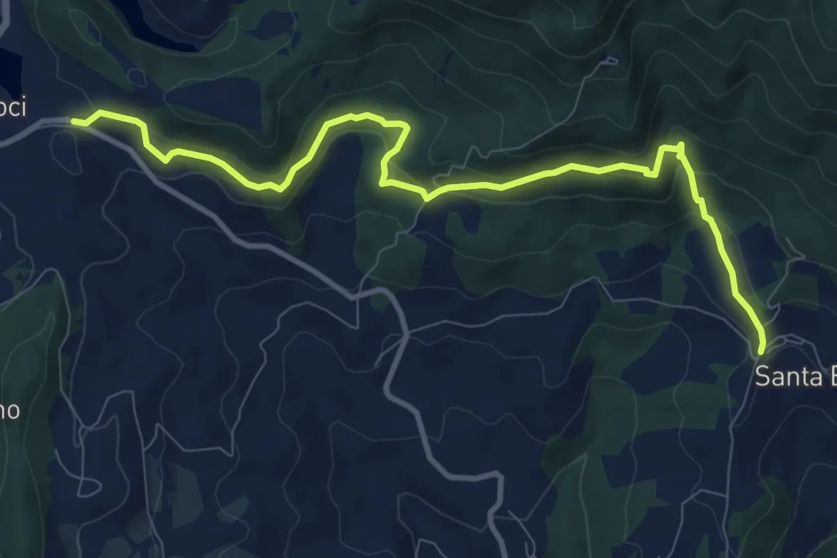
Medium · Trail
Le Lucole – Valico Alberaccio
10.3 km · ↑ 439 m · 3 h 23 min · 13 km away
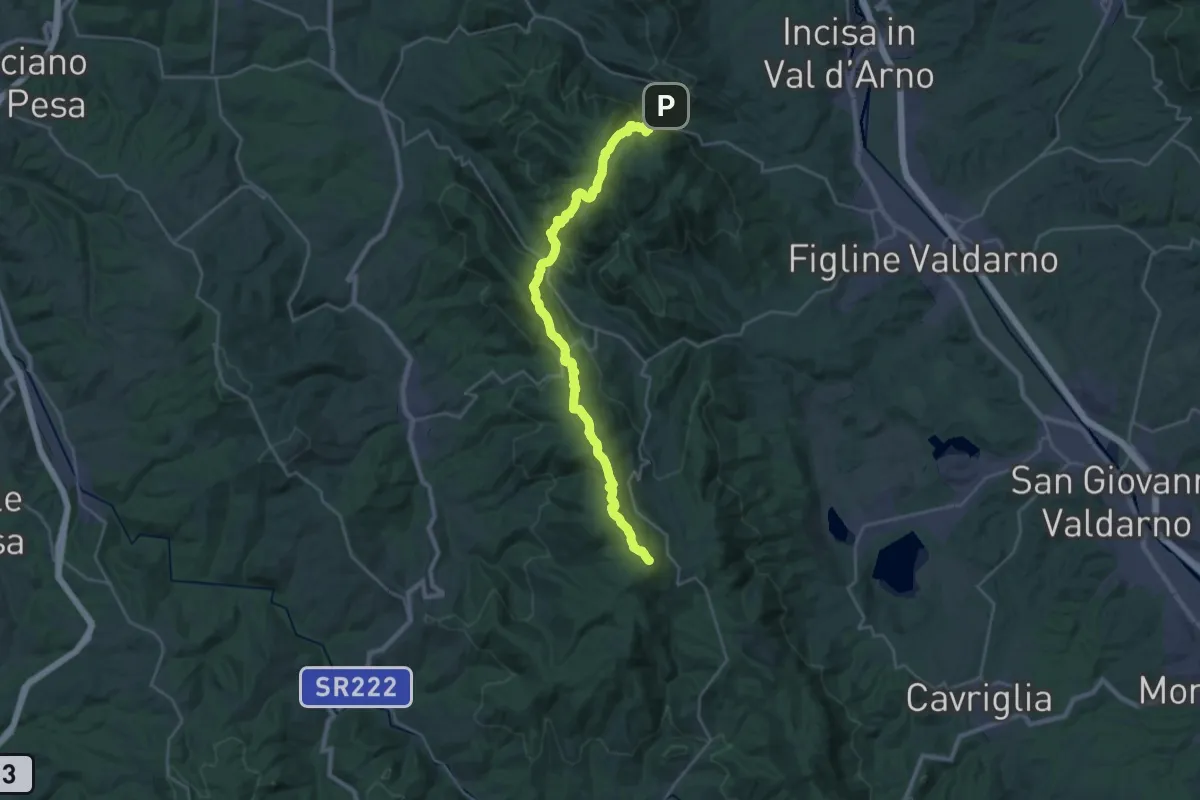
Demanding · Summit
Poggio alla Croce – Badiaccia a Montemuro
30.7 km · ↑ 1259 m · 9 h 58 min · 13 km away
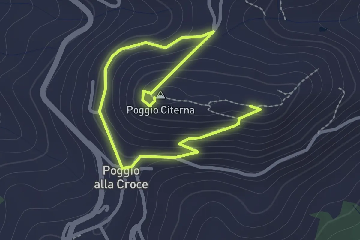
Medium · Summit
Sentiero naturalistico di Poggio Citerna
1.6 km · ↑ 73 m · 34 min · 13 km away
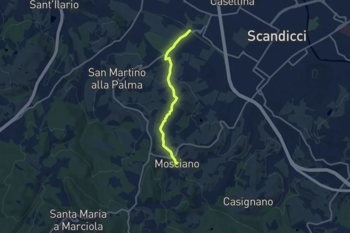
Easy · Trail
ponte del ristoro Scandicci, innesto CAI 746 (3 Fiumi) – Mosciano, innesto sentiero CAI 735
7.0 km · ↑ 188 m · 2 h 3 min · 13 km away
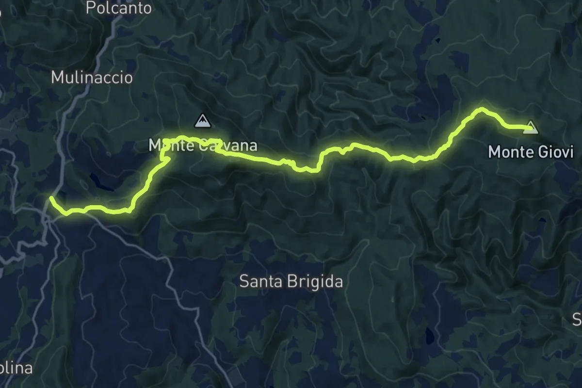
Demanding · Summit
Vetta le Croci – Scopeti
22.8 km · ↑ 1065 m · 7 h 41 min · 13 km away
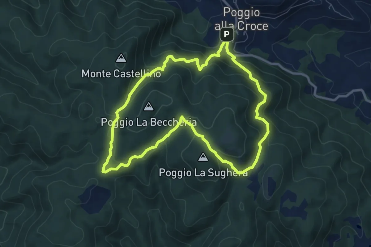
Demanding · Summit
SM1 Sentiero della Memoria Monti Scalari e Pian d'Albero
7.5 km · ↑ 394 m · 2 h 43 min · 13 km away
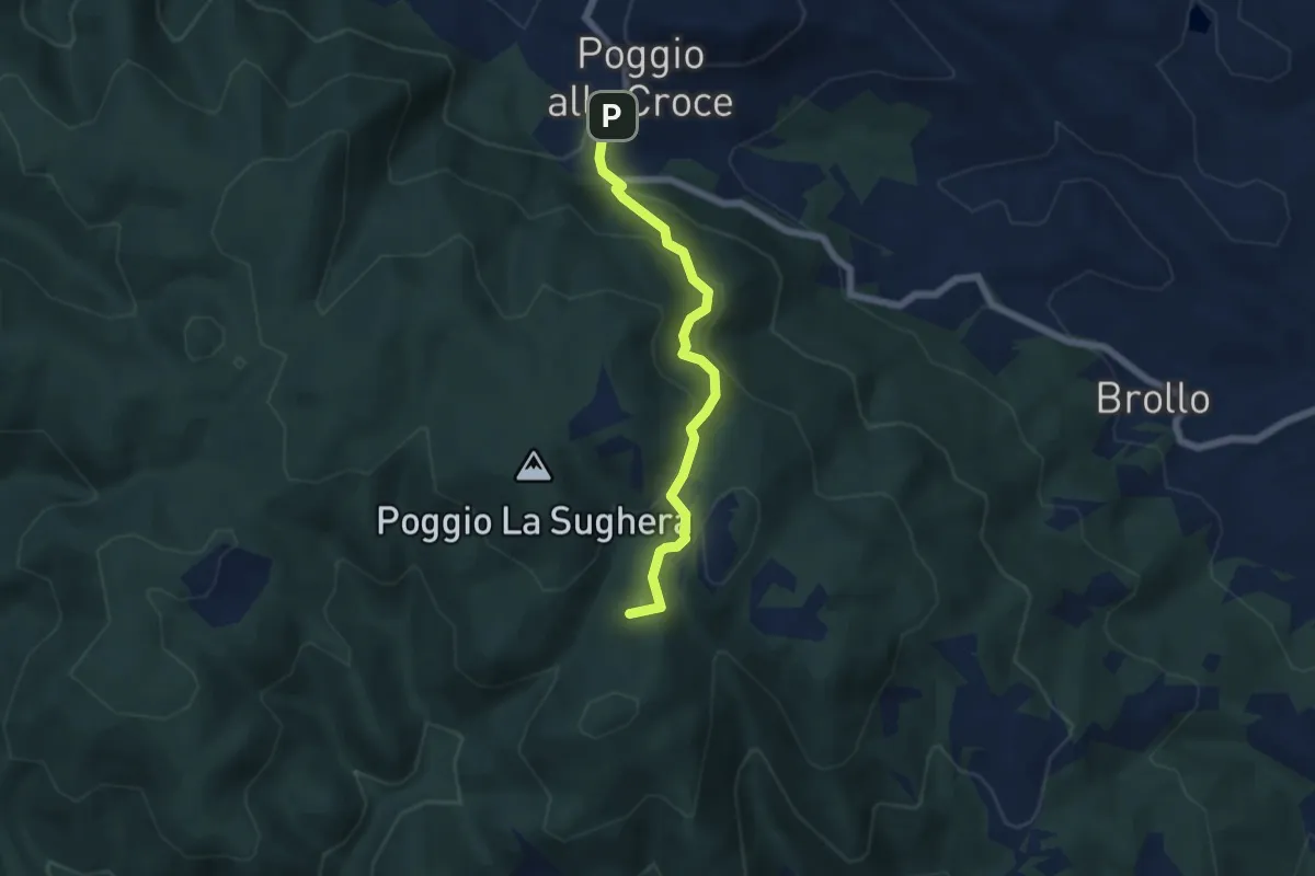
Demanding · Summit
Poggio alla Croce – Celle
5.6 km · ↑ 296 m · 1 h 57 min · 13 km away
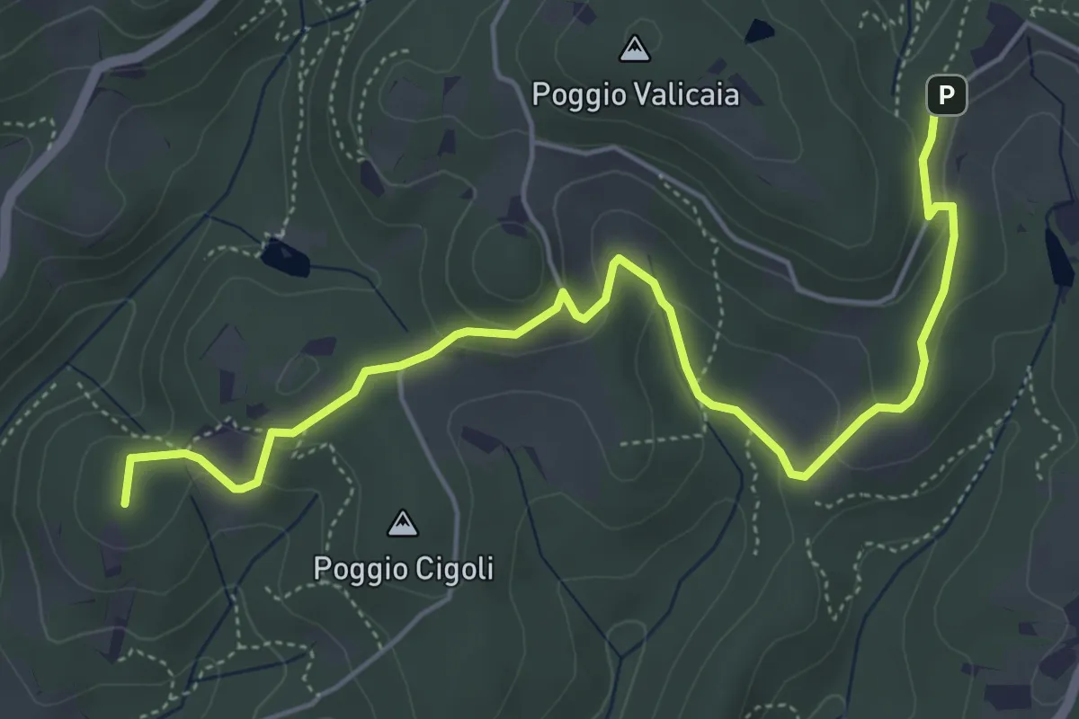
Easy · Summit
Castellare – Poggio Valicaia
6.3 km · ↑ 220 m · 1 h 57 min · 13 km away
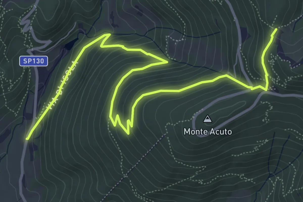
Medium · Trail
Le Mulina – Sella degli Scollini
10.0 km · ↑ 503 m · 3 h 27 min · 13 km away
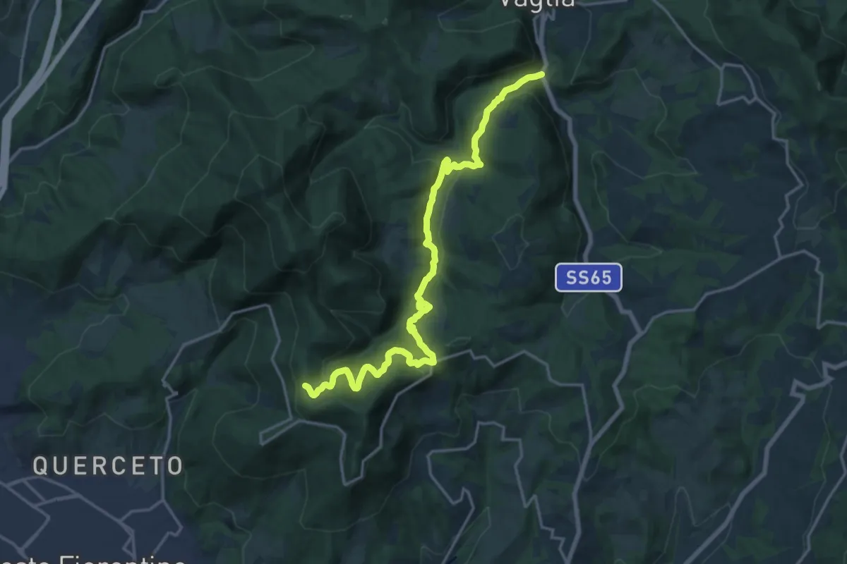
Demanding · Trail
S.S. 65 - Paterno – Sella degli Scollini
19.0 km · ↑ 751 m · 6 h 7 min · 13 km away
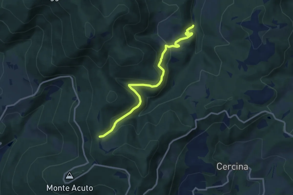
Medium · Trail
Percorso 6 – Sella degli Scollini
8.1 km · ↑ 399 m · 2 h 47 min · 13 km away
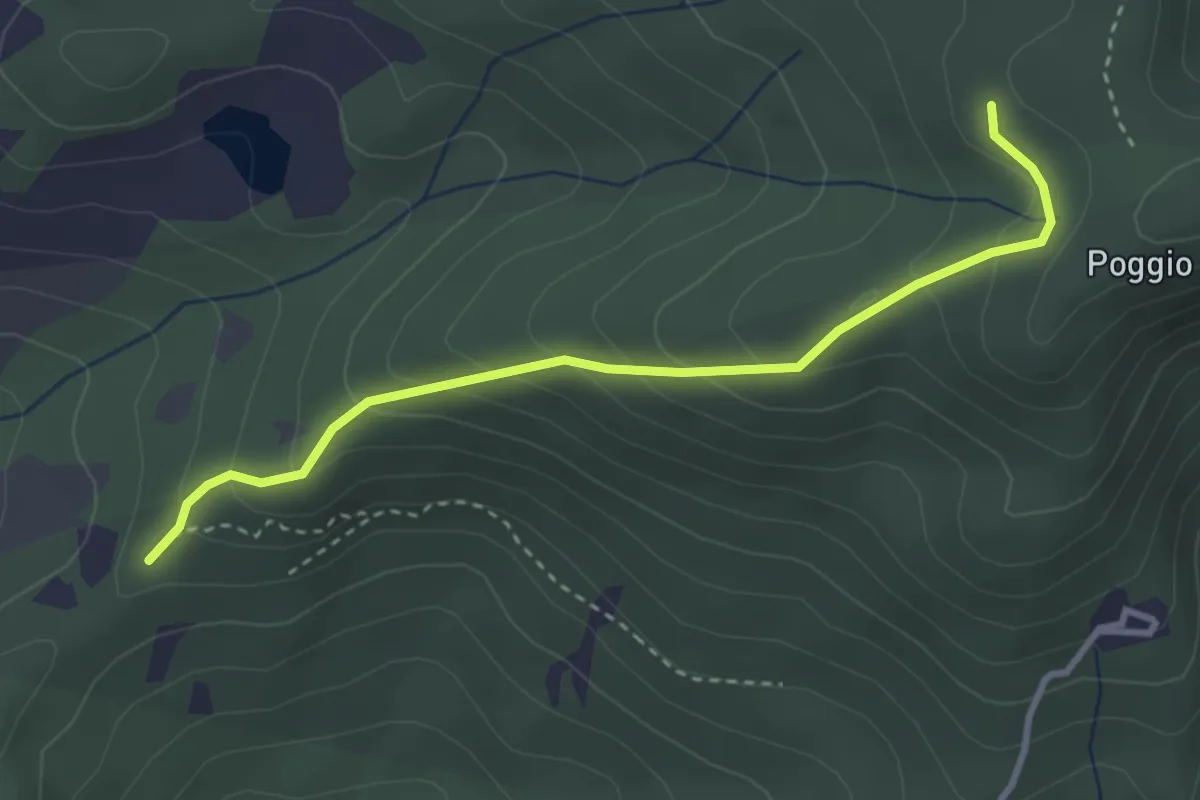
Easy · Trail
sentiero 00 (pressi Pratellino) – Sentiero 00
3.5 km · ↑ 255 m · 1 h 23 min · 13 km away
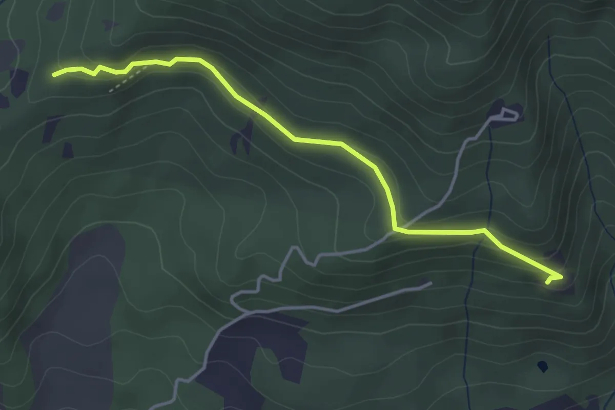
Easy · Trail
Madonna del Sasso – Sentiero 204, nei pressi di Pratellino
4.0 km · ↑ 119 m · 1 h 12 min · 13 km away
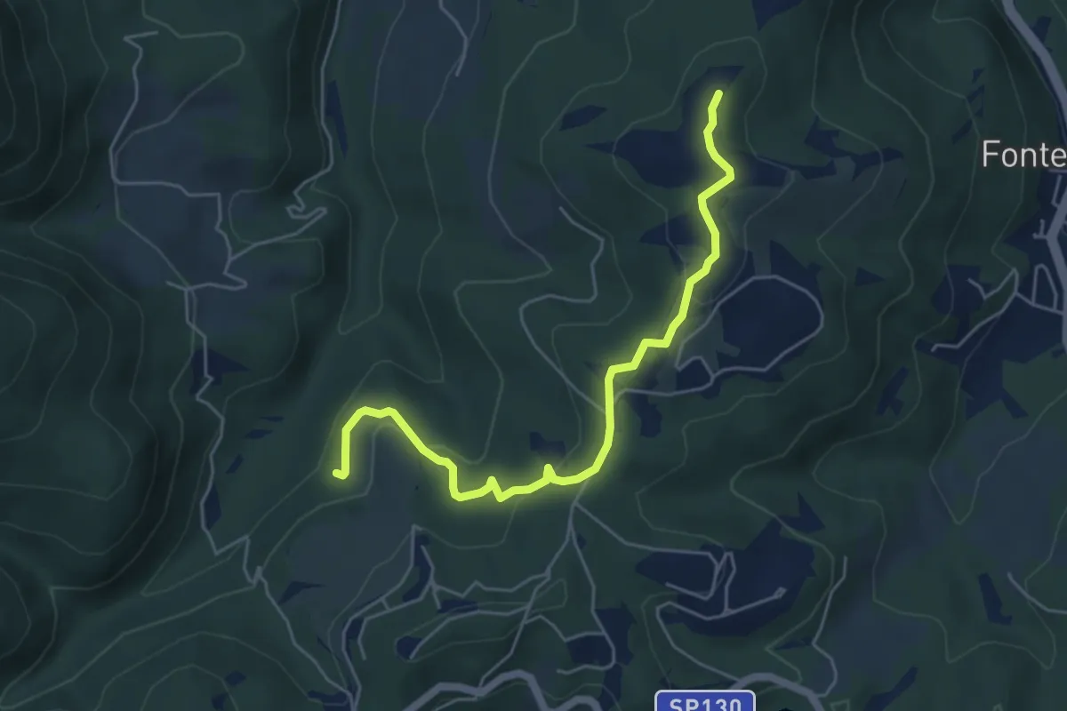
Easy · Summit
Anello della Carzola
5.6 km · ↑ 177 m · 1 h 42 min · 13 km away
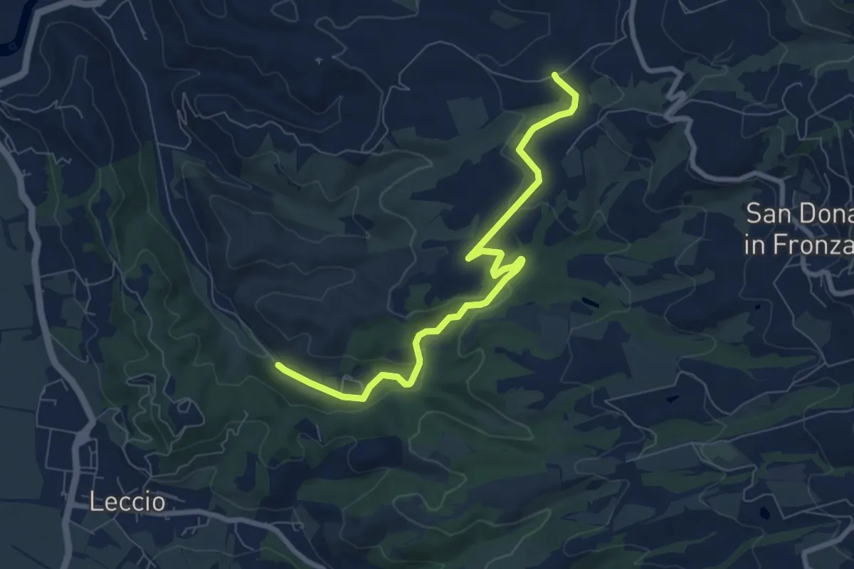
Medium · Trail
R22
8.1 km · ↑ 192 m · 2 h 20 min · 14 km away
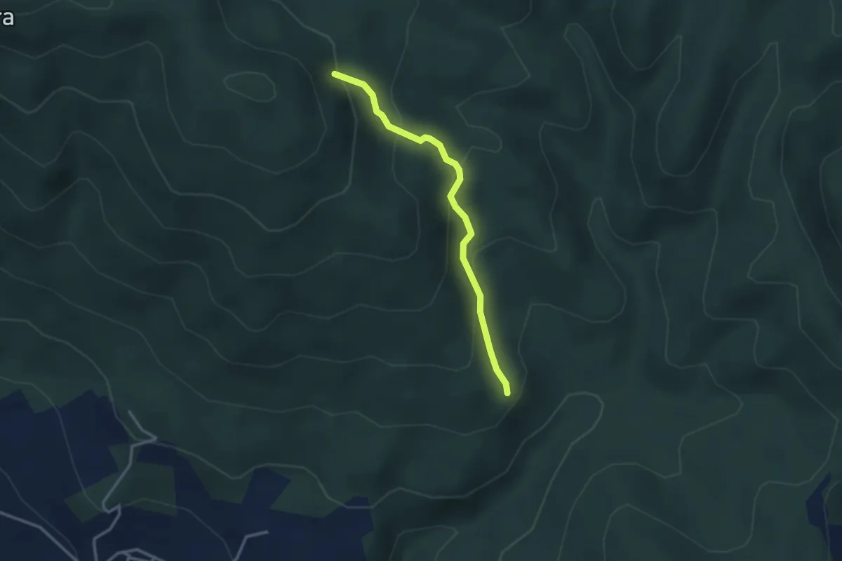
Medium · Trail
sentiero 209 (bivio sentiero 203A) – sentiero 209 (pressi cascina di Monterotondo)
2.9 km · ↑ 199 m · 1 h 6 min · 14 km away