Trails near Bagno a Ripoli
120 hikes starting within 15 km, nearest first.
Nearest first, page 3 of 3
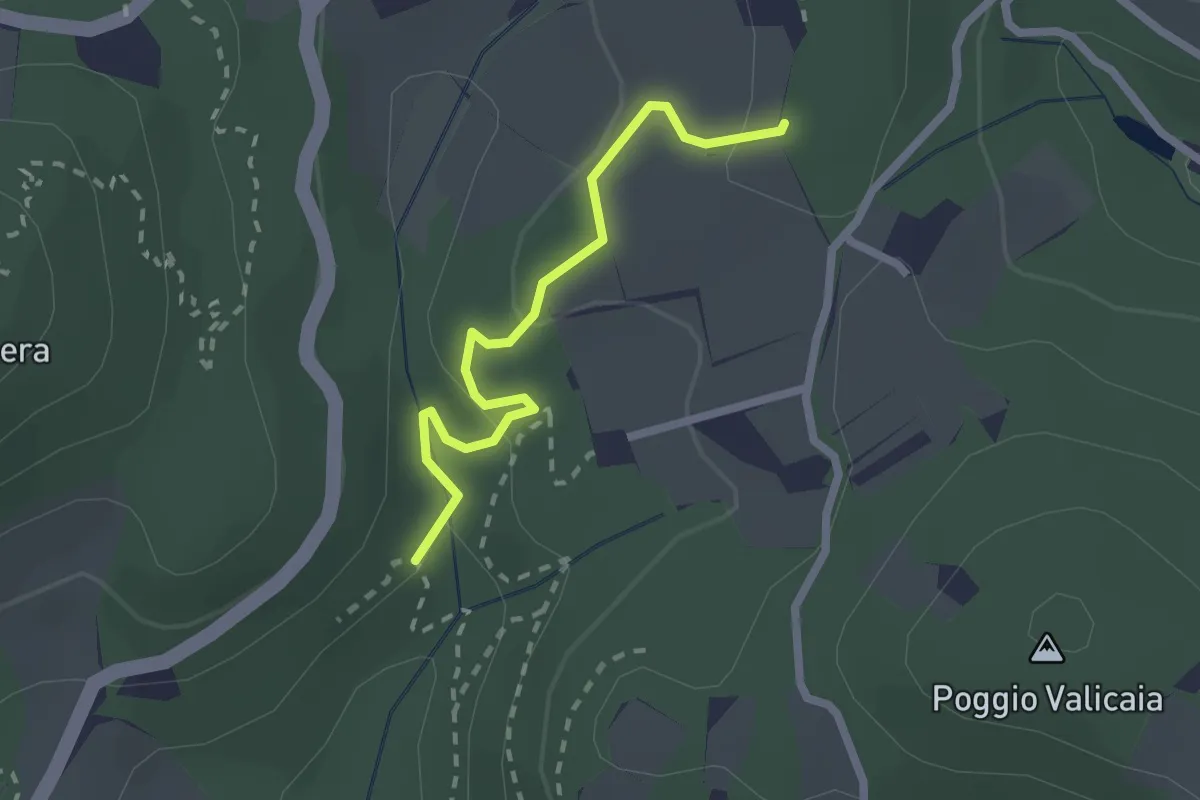
Easy · Trail
Sentiero 730 (Spazzavento) – Sentiero 732 (Lago delle Ninfee)
2.3 km · ↑ 59 m · 40 min · 14 km away
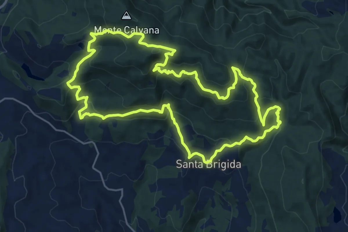
Demanding · Summit
Sentiero delle Burraie
15.7 km · ↑ 815 m · 5 h 41 min · 14 km away
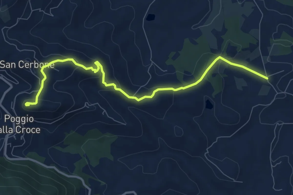
Medium · Summit
Loppiano – Poggio alla Croce
8.7 km · ↑ 351 m · 2 h 49 min · 14 km away
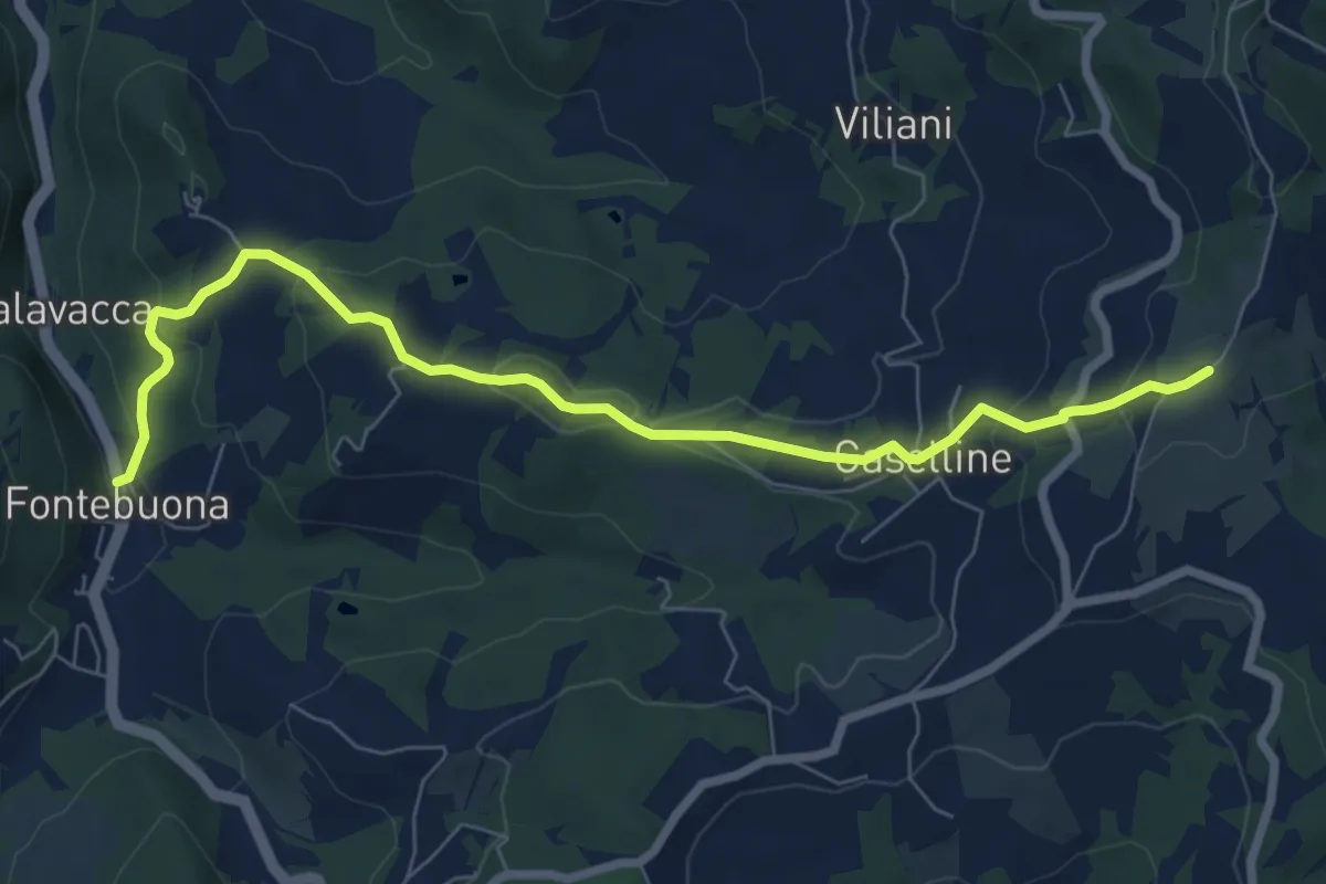
Medium · Trail
Percorso 5 – Caselline
8.2 km · ↑ 290 m · 2 h 34 min · 14 km away
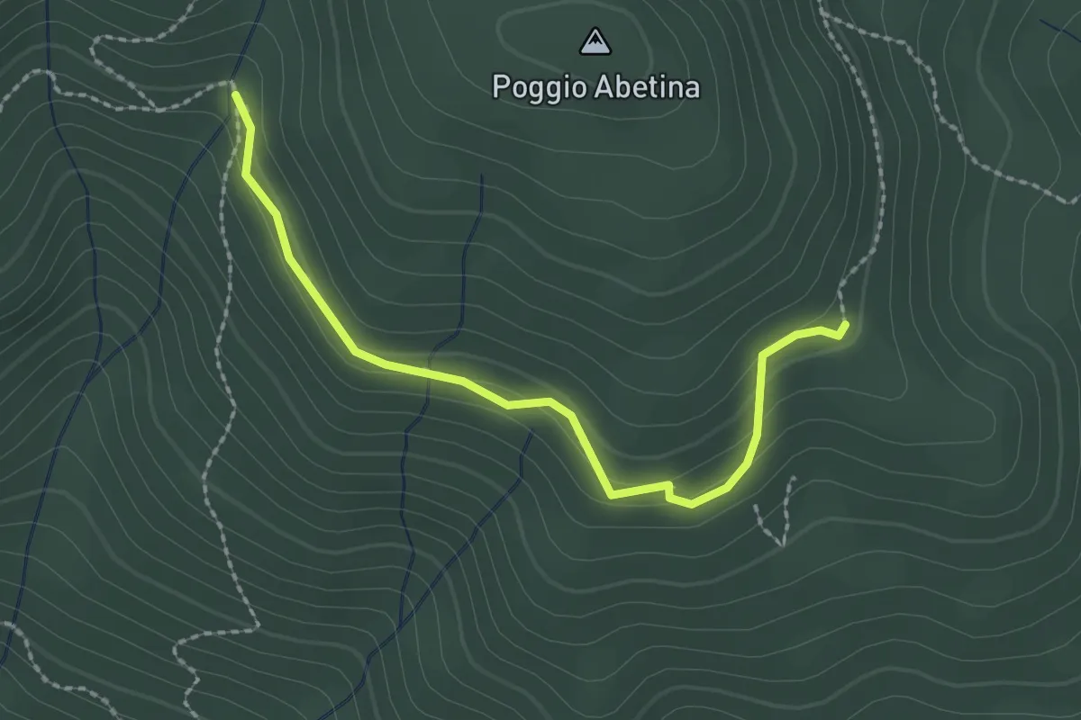
Easy · Trail
sentiero 205 – sentiero 209 (pressi area di sosta Fontassenzio)
2.4 km · ↑ 98 m · 46 min · 14 km away
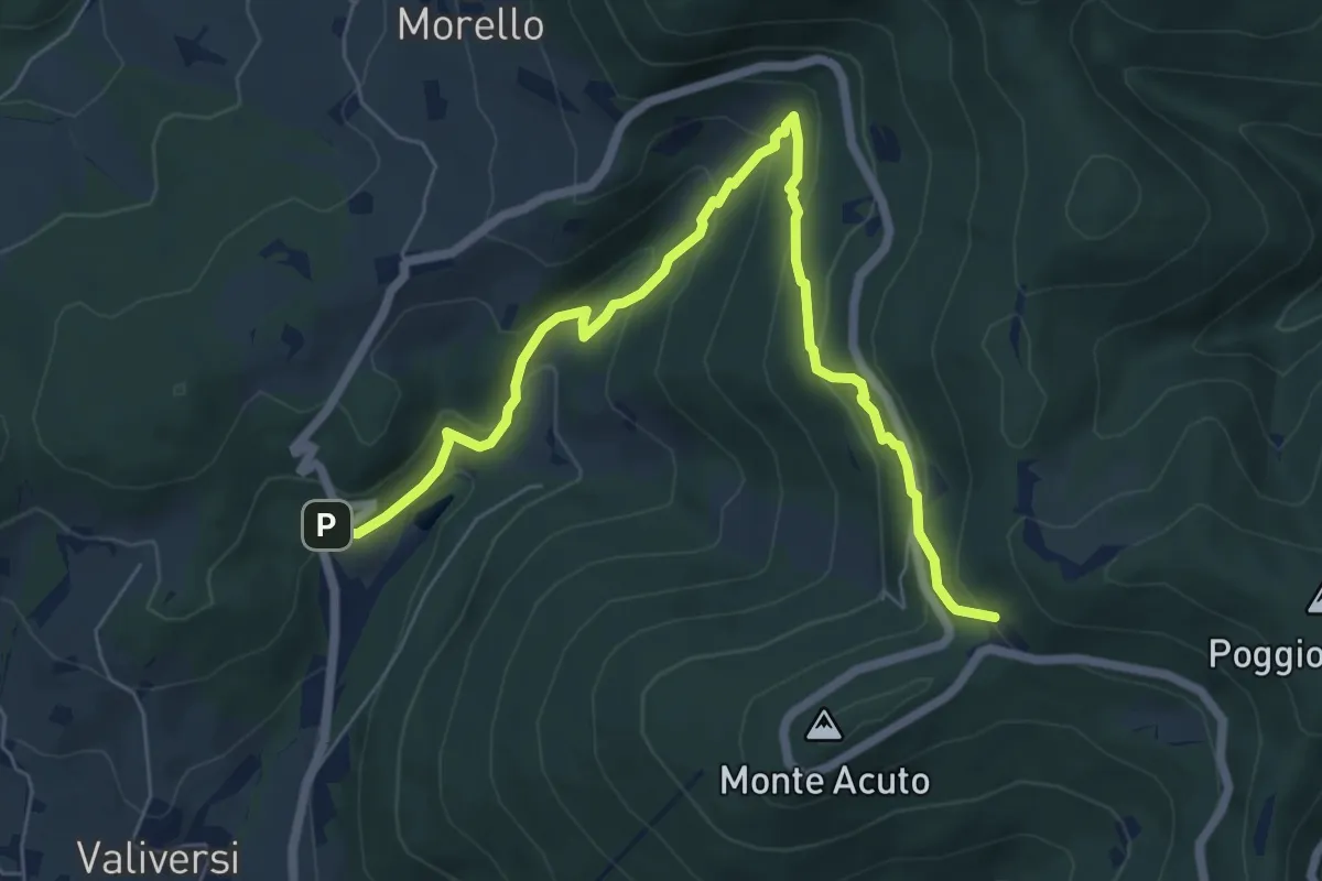
Medium · Trail
Via del Polverificio – Fonte dei Seppi
7.9 km · ↑ 454 m · 2 h 51 min · 14 km away
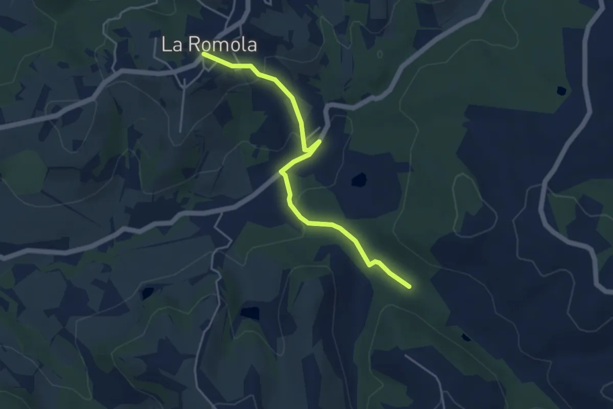
Easy · Trail
Romola Sequoia Sugana
4.2 km · ↑ 141 m · 1 h 18 min · 14 km away
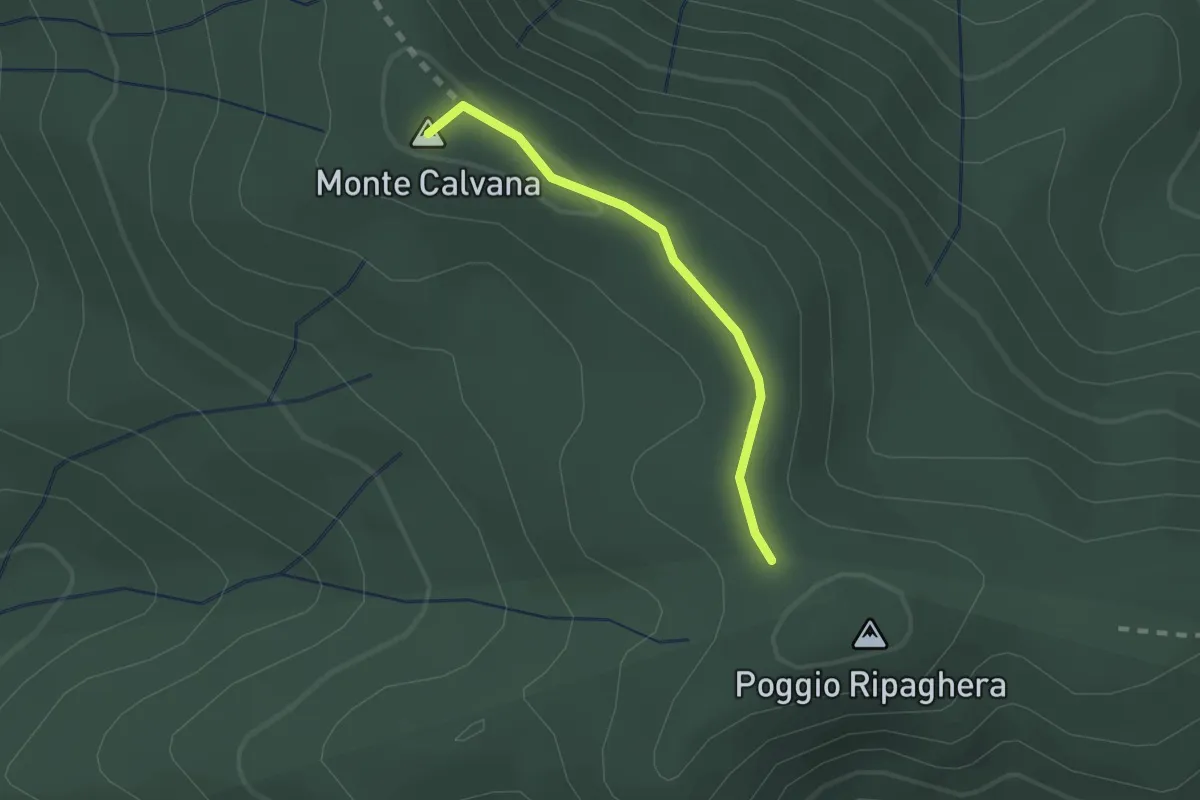
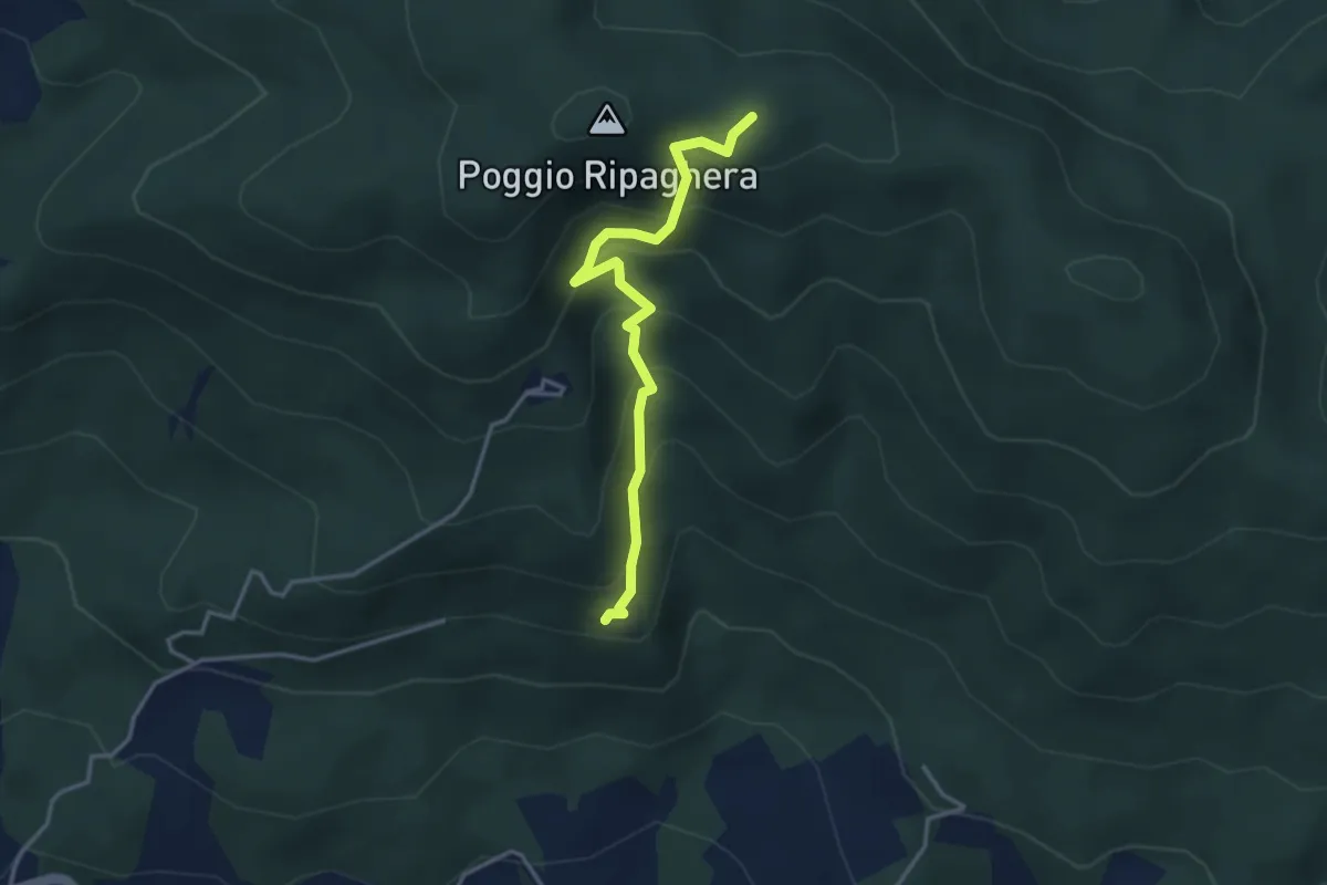
Easy · Summit
Ripaghera – Innesto sentiero 3A
1.8 km · ↑ 19 m · 27 min · 14 km away
Medium · Trail
Madonna del Sasso – sentiero 00 (il Giogo)
3.6 km · ↑ 325 m · 1 h 33 min · 14 km away
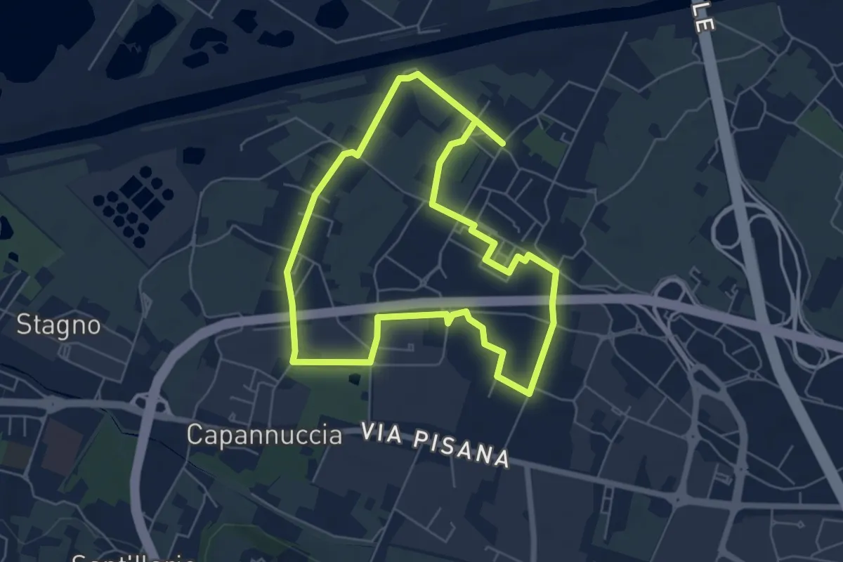
Easy · Trail
Badia a Settimo - Variante sentiero dei 3 Fiumi
5.8 km · ↑ 0 m · 1 h 26 min · 14 km away
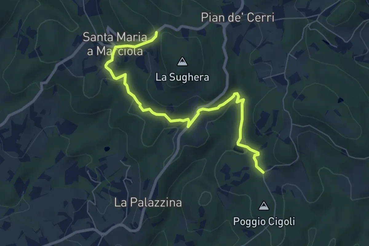
Easy · Trail
Le Calle – Le Croci
7.3 km · ↑ 237 m · 2 h 14 min · 14 km away
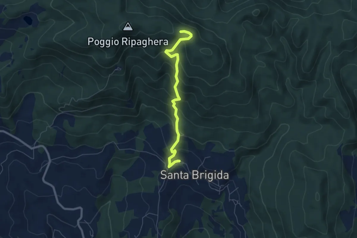
Medium · Trail
Santa Brigida – Il Giogo (Percorso 00)
5.9 km · ↑ 484 m · 2 h 27 min · 14 km away
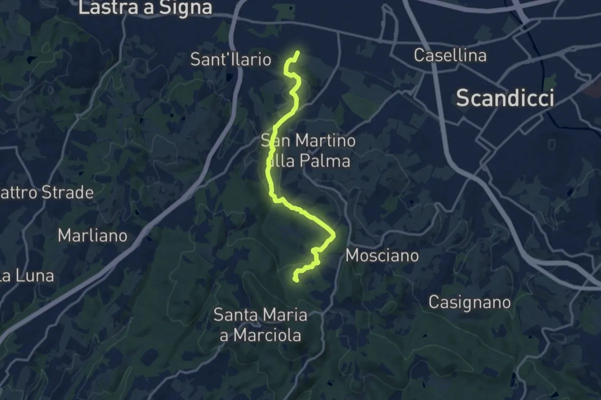
Medium · Trail
sentiero CAI 746 3 fiumi in località Castelpulci - Torrente Vingone – sentiero CAI 734 in località Sevoli
11.6 km · ↑ 315 m · 3 h 25 min · 15 km away
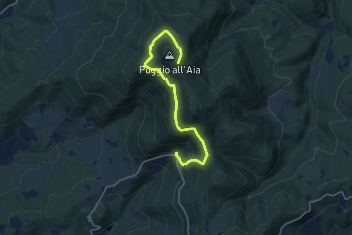
Medium · Trail
Fonte del Vecciolino – Quota 855 sentiero 12
9.2 km · ↑ 537 m · 3 h 20 min · 15 km away
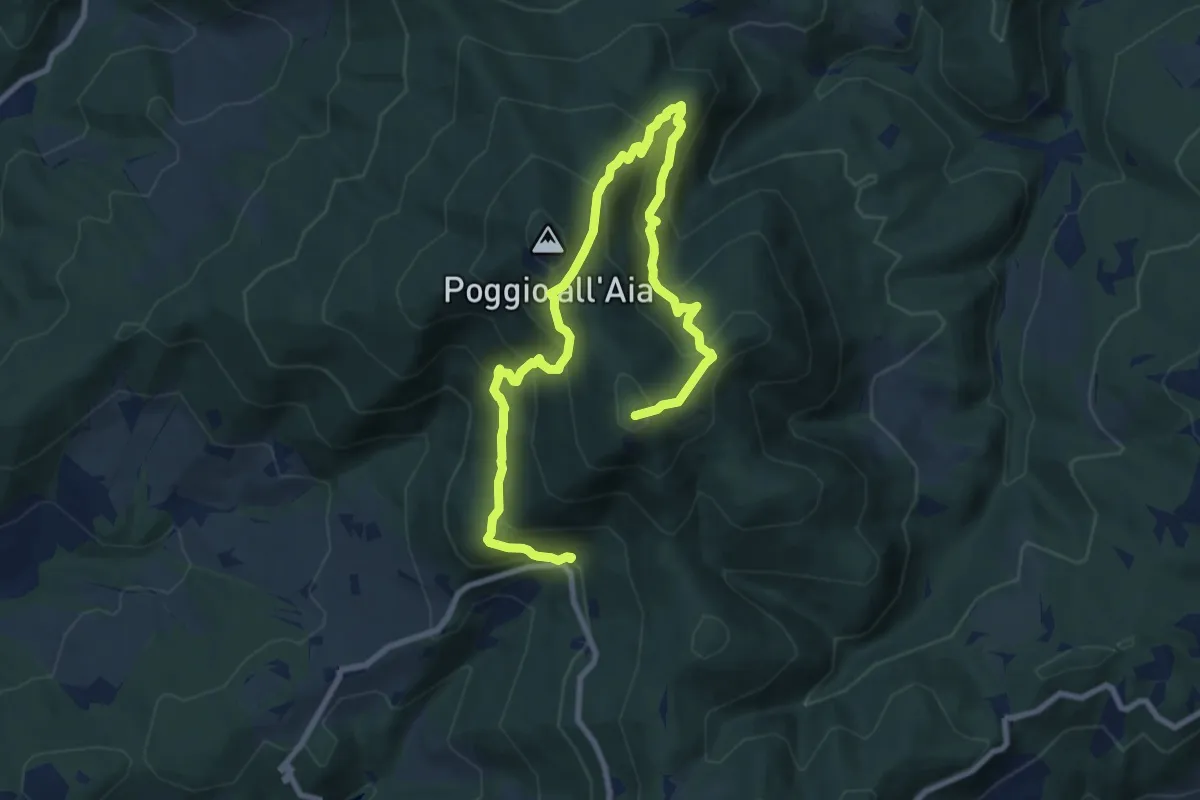
Demanding · Summit
Fonte del Vecciolino – Poggio Casaccia
12.4 km · ↑ 1011 m · 5 h 7 min · 15 km away
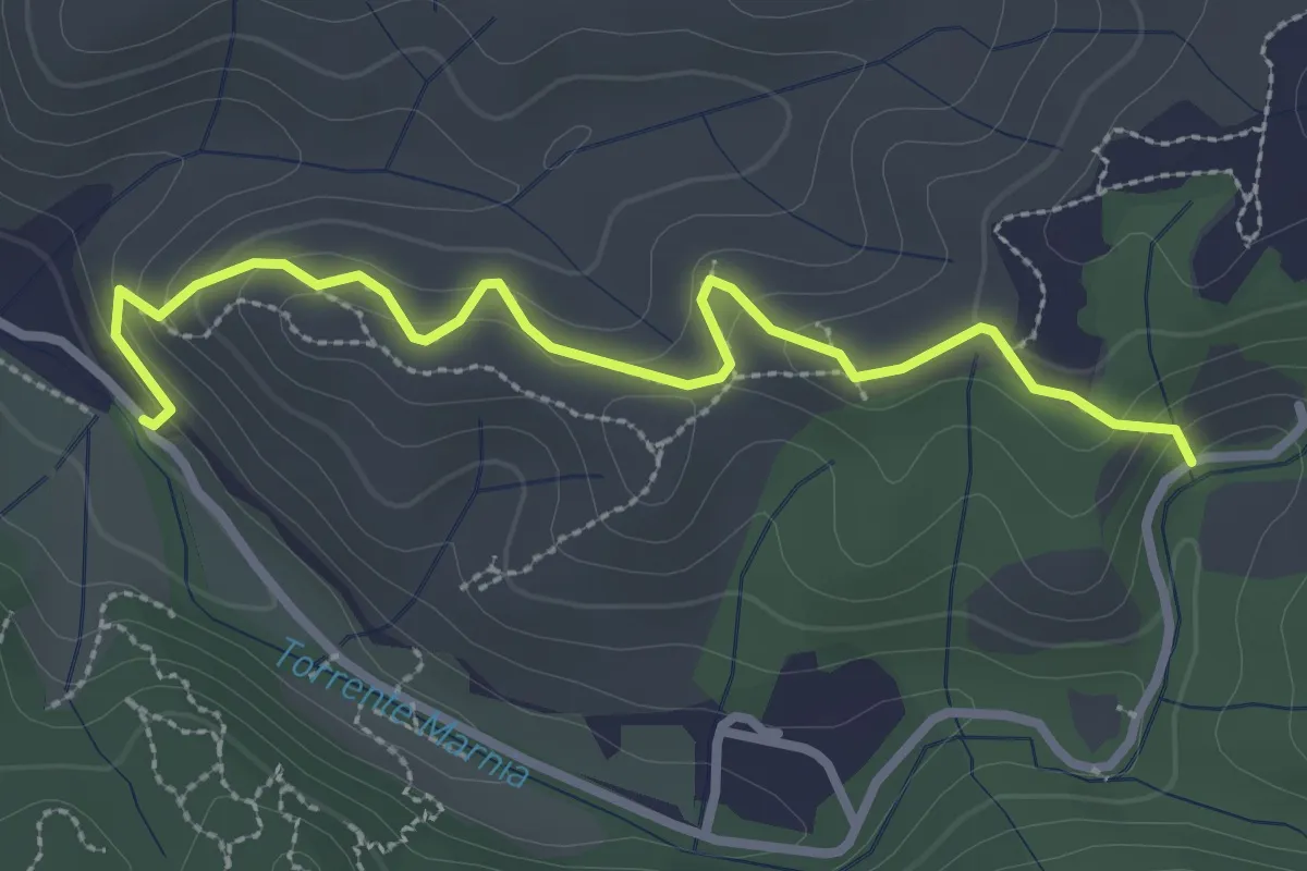
Easy · Trail
Itinerario R21 – Itinerario R22
3.2 km · ↑ 142 m · 1 h 4 min · 15 km away
Easy · Trail
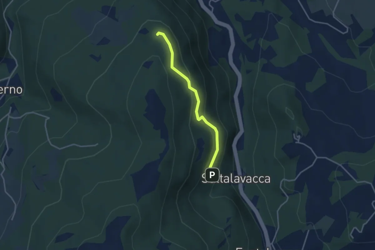
Sentiero 61 – Sentiero 68
2.7 km · ↑ 165 m · 1 h · 15 km away
Medium · Trail
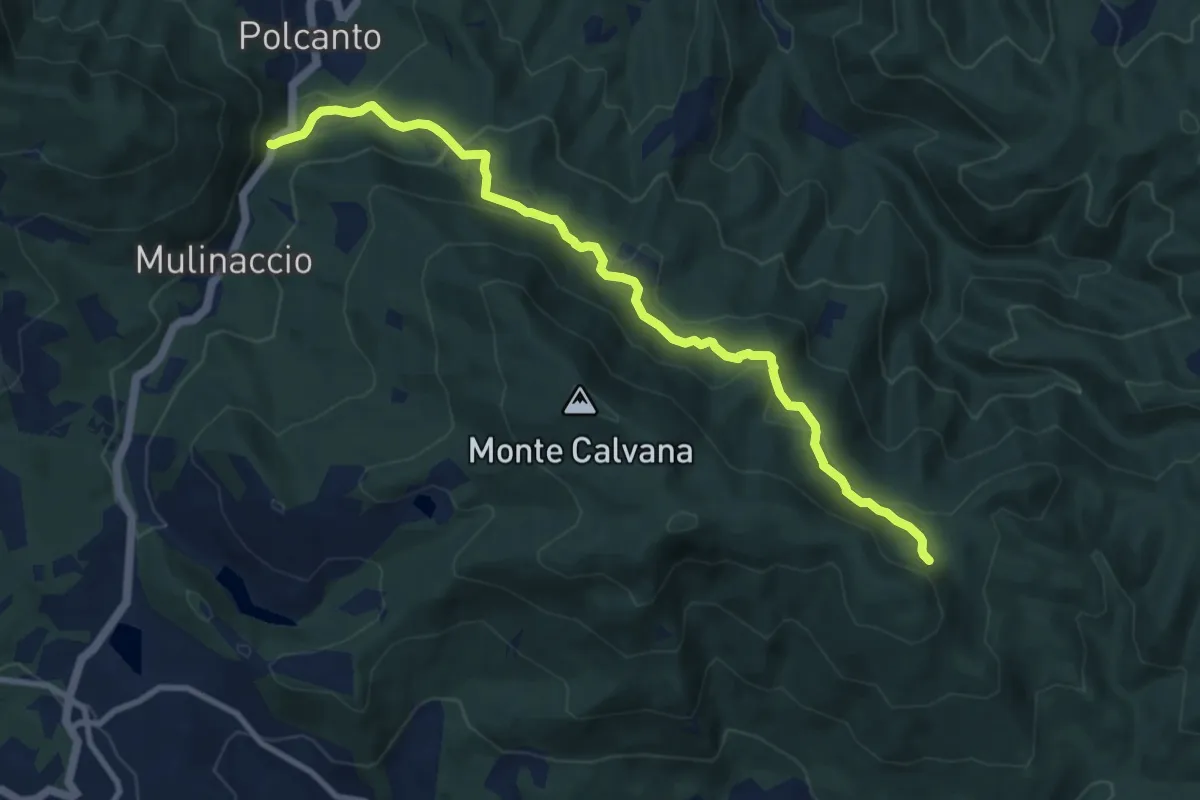
Polcanto – Monte Rotondo
10.5 km · ↑ 453 m · 3 h 28 min · 15 km away
Medium · Trail
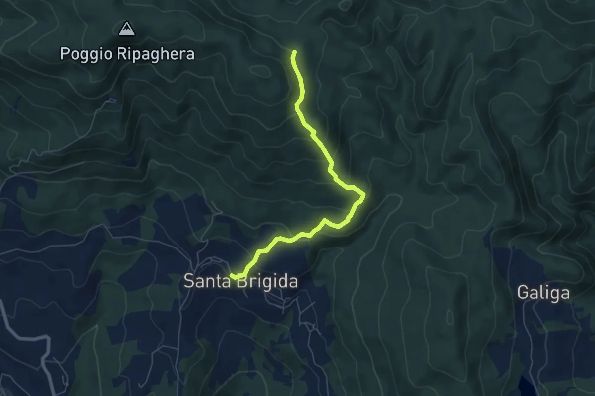
Santa Brigida – Cascina di Monterotondo (Percorso 00)
6.2 km · ↑ 366 m · 2 h 15 min · 15 km away
Easy · Trail
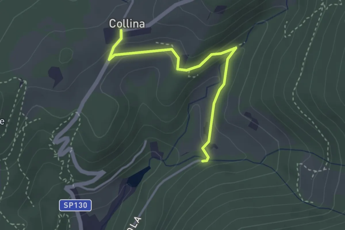
Via di Isola – Collina
3.1 km · ↑ 95 m · 56 min · 15 km away
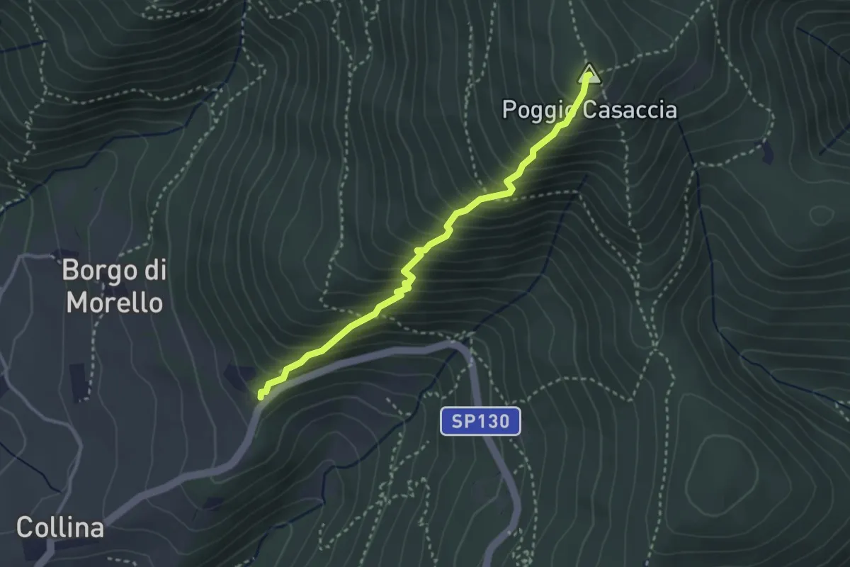
Demanding · Summit
Sentiero del Pensionato
3.2 km · ↑ 469 m · 1 h 46 min · 15 km away
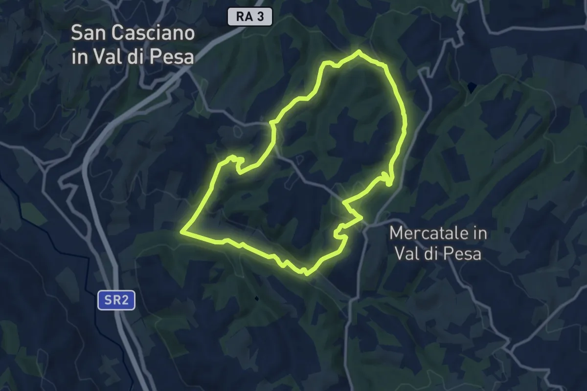
Medium · Trail
Anello di Calcinaia
10.3 km · ↑ 283 m · 3 h 11 min · 15 km away
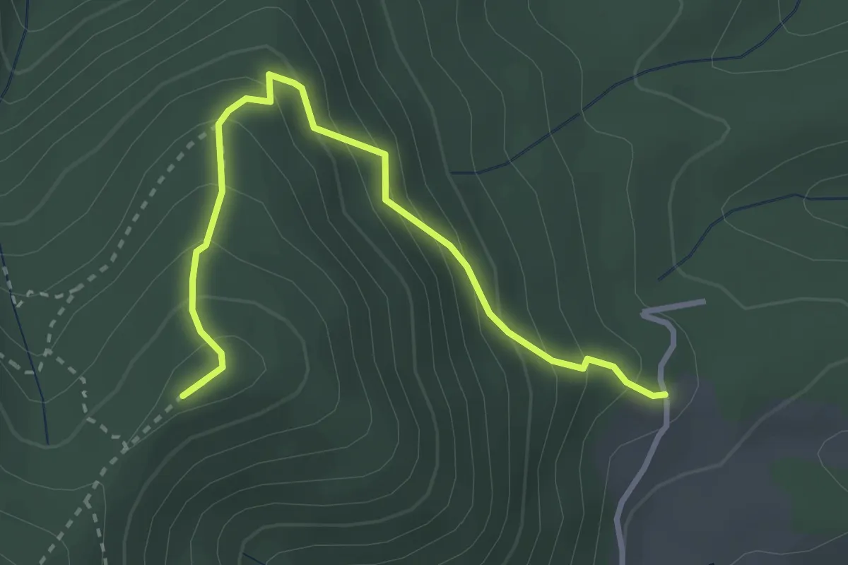
Medium · Summit
Capannaccia – Sella delle Colline
3.4 km · ↑ 303 m · 1 h 27 min · 15 km away
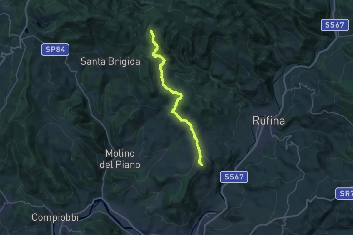
Medium · Summit
Pontassieve – sentiero 206 Croce di Aceraia
17.5 km · ↑ 529 m · 5 h 17 min · 15 km away