Trails near Ballabio
379 hikes starting within 15 km, nearest first.
Nearest first, page 2 of 8
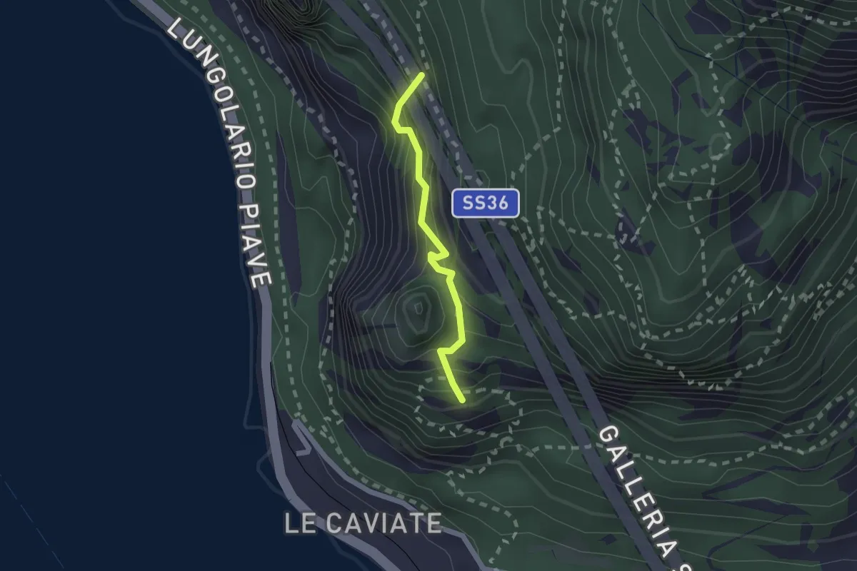
Expert · Summit
Sentiero Piero Pensa
1.6 km · ↑ 311 m · 1 h 2 min · 4 km away
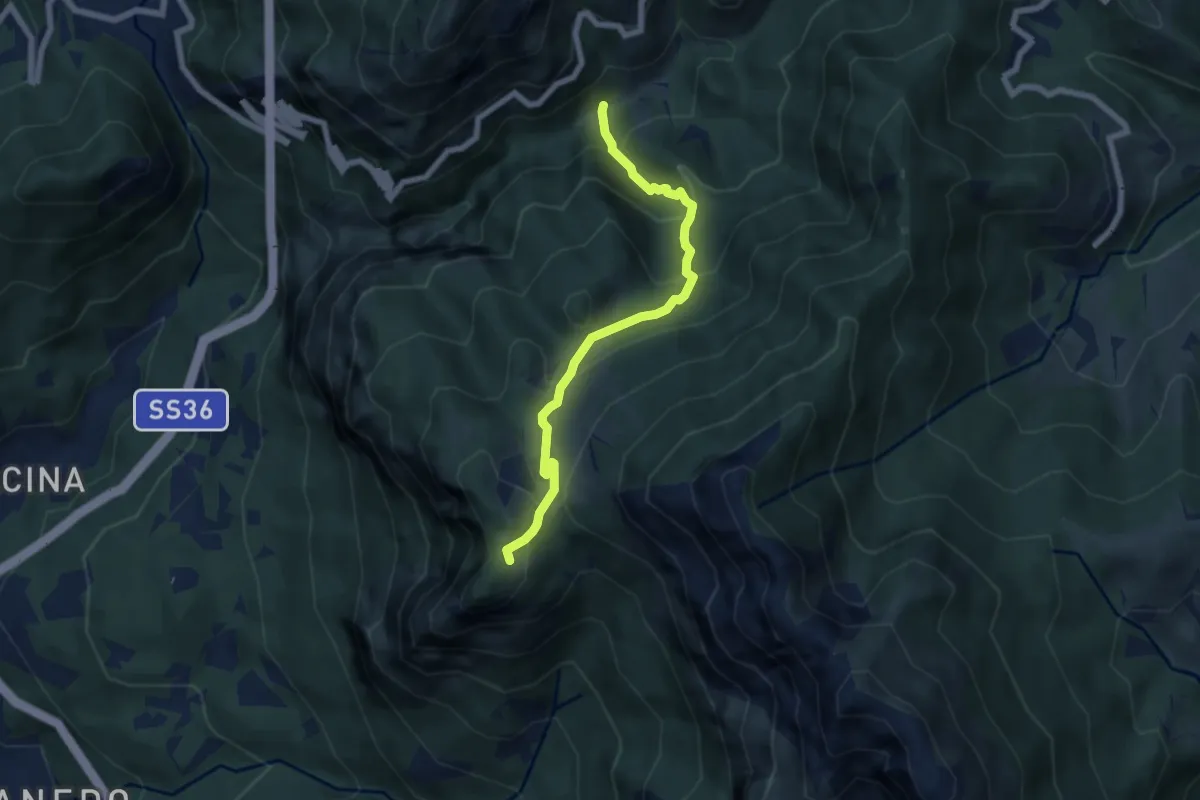
Medium · Trail
Boazzo, percorso 922 – Piani d'Erna, arrivo Funivia
6.2 km · ↑ 477 m · 2 h 29 min · 4 km away
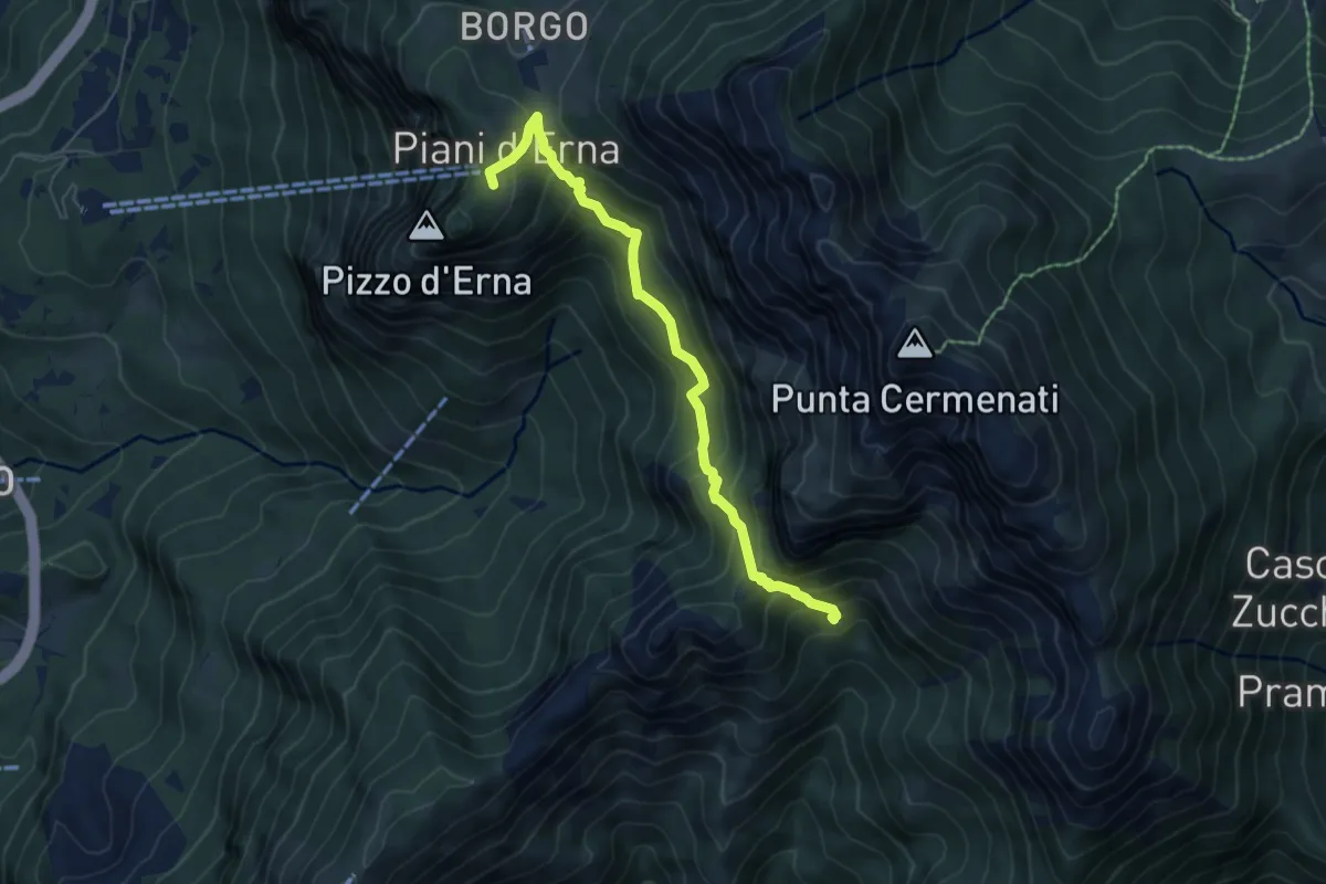
Medium · Cabin
Capanna Alpinisti Monzesi – Piani d'Erna
6.0 km · ↑ 566 m · 2 h 38 min · 4 km away
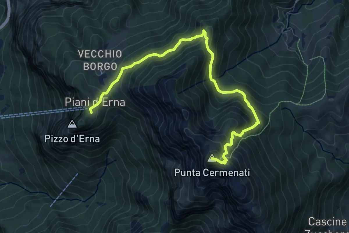
Demanding · Summit
Piani d'Erna – Rif. Azzoni
10.0 km · ↑ 884 m · 4 h 16 min · 4 km away
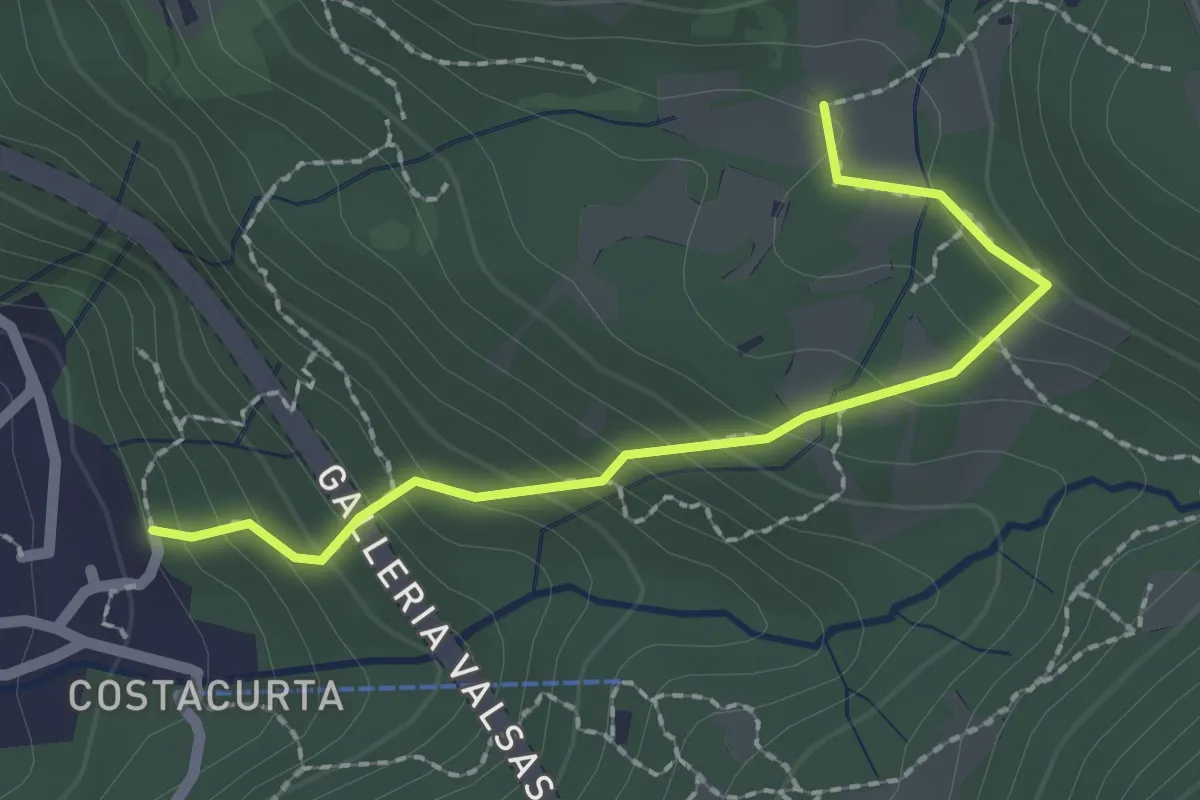
Easy · Trail
Germanedo, innesto percorso 903-1 – Cavagiozzo, innesto percorso 903
2.1 km · ↑ 196 m · 56 min · 4 km away
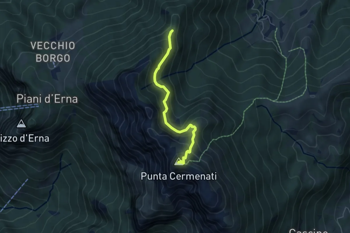
Demanding · Summit
Passo del Giuff – Monte Resegone
4.7 km · ↑ 410 m · 2 h · 4 km away
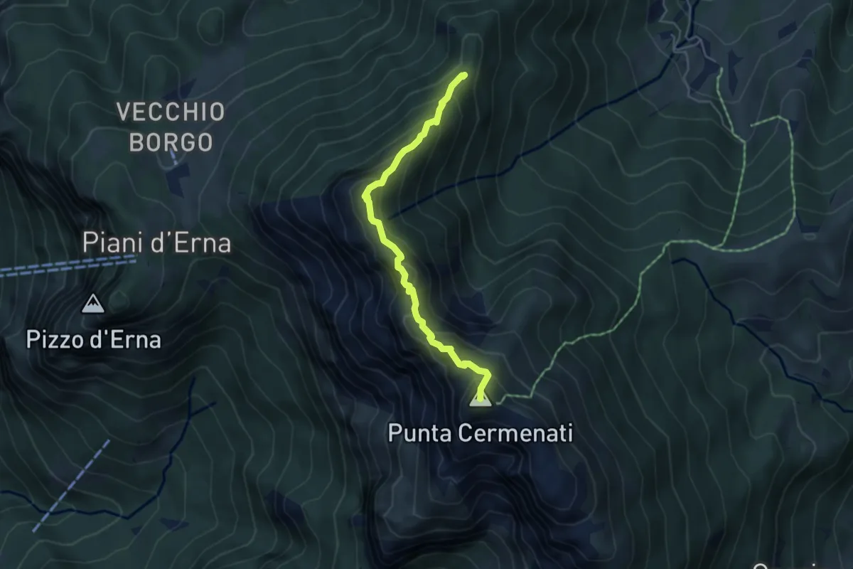
Expert · Summit
Sentiero delle Creste Nord
4.5 km · ↑ 323 m · 1 h 45 min · 4 km away
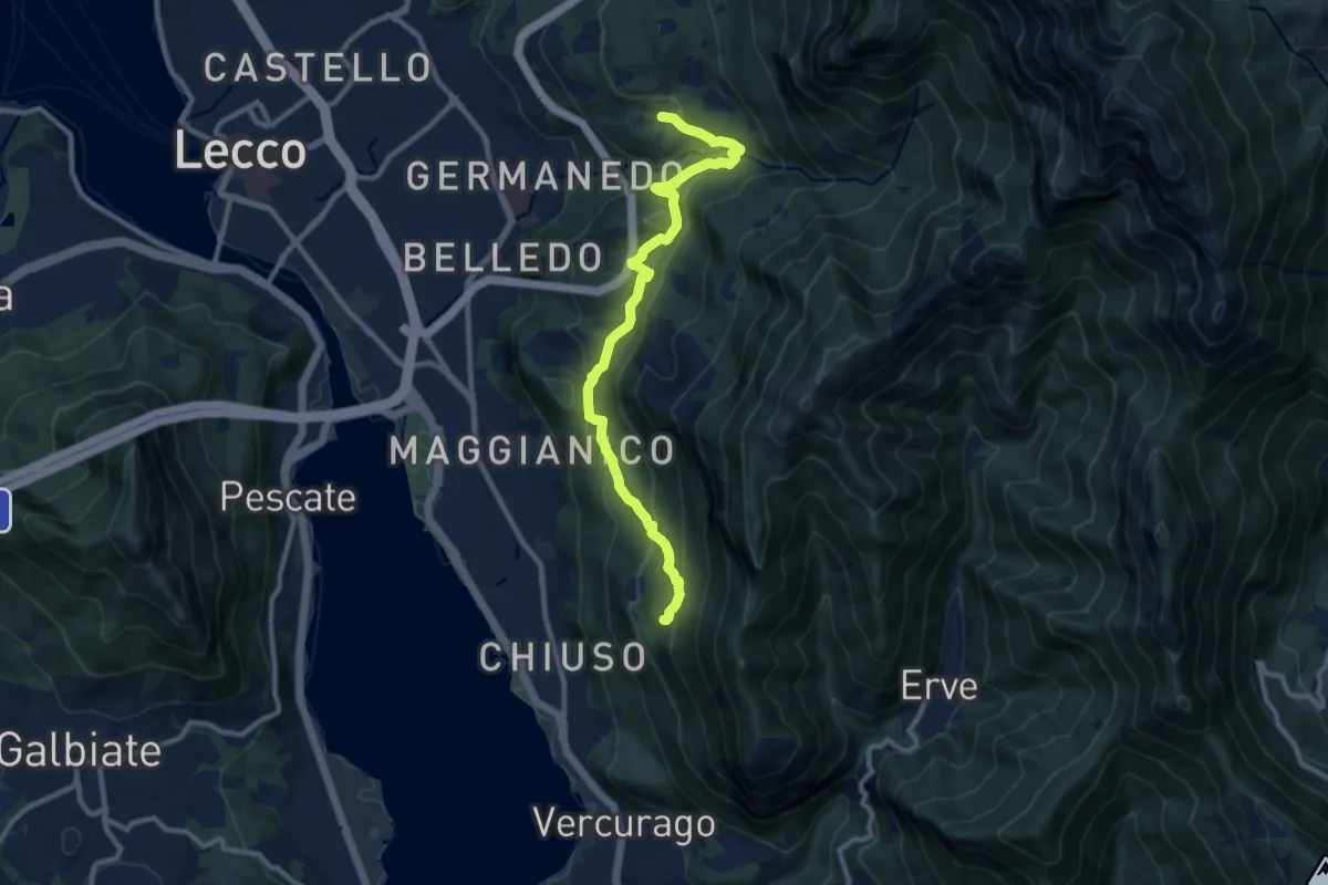
Medium · Trail
Percorso Giorgio Combi
10.5 km · ↑ 564 m · 3 h 43 min · 4 km away
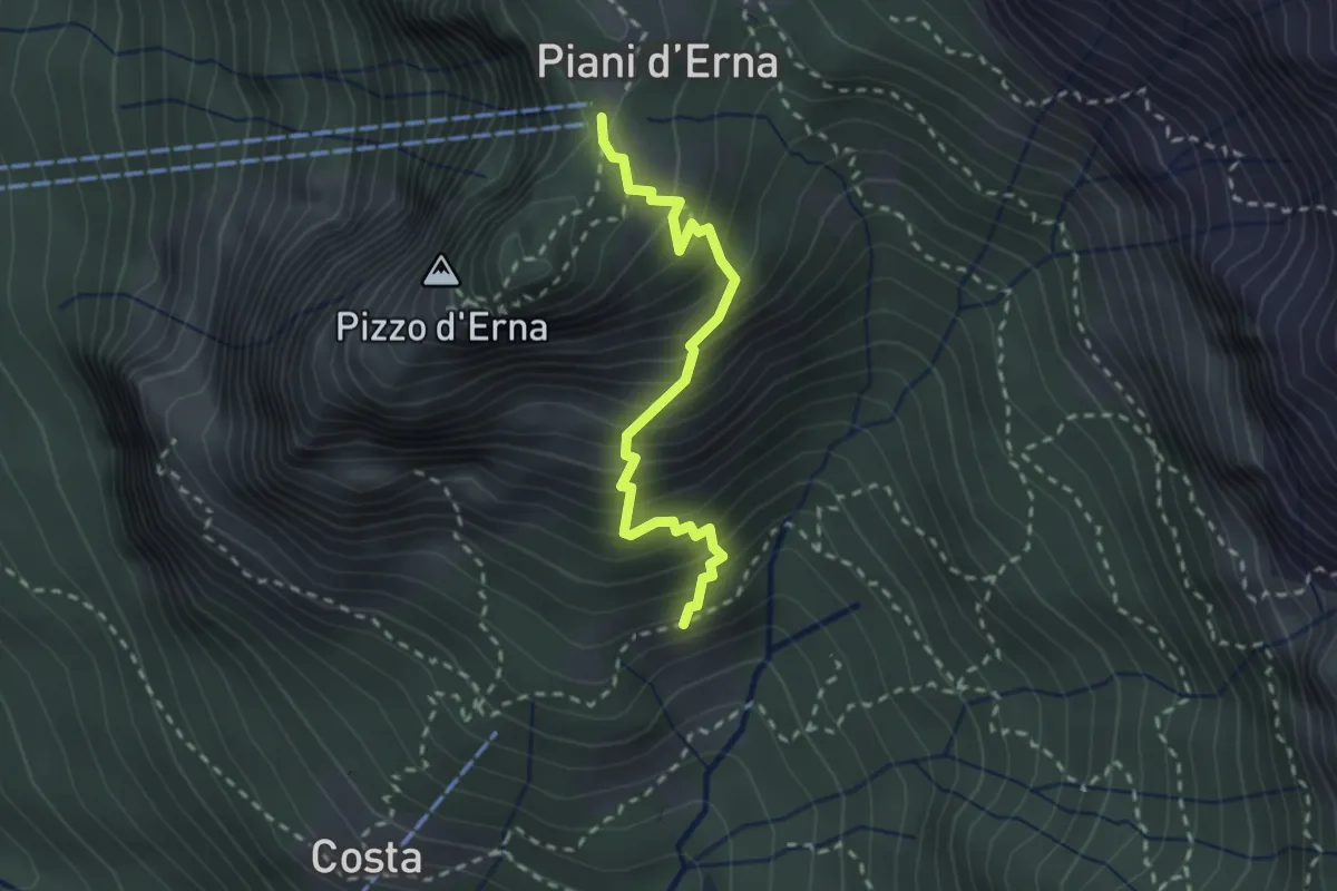
Medium · Trail
Sentiero della Sponda
2.4 km · ↑ 361 m · 1 h 21 min · 5 km away
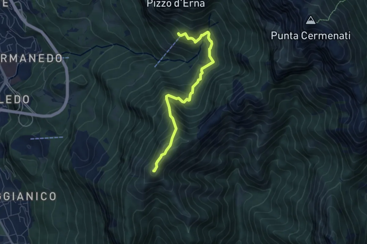
Demanding · Summit
Rifugio Stoppani – Monte Magnodeno
6.5 km · ↑ 557 m · 2 h 45 min · 5 km away
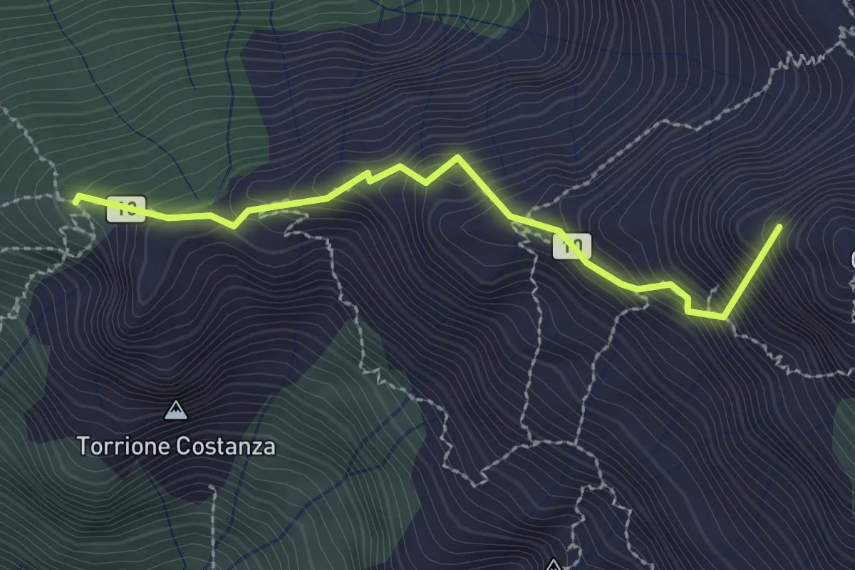
Expert · Summit
Sentiero Cecilia
2.4 km · ↑ 349 m · 1 h 19 min · 5 km away
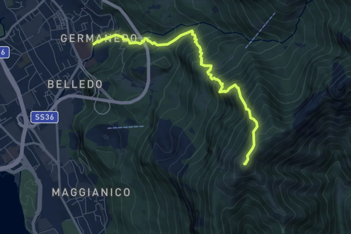
Demanding · Summit
Lecco Germanedo – Monte Magnodeno
8.0 km · ↑ 950 m · 3 h 57 min · 5 km away
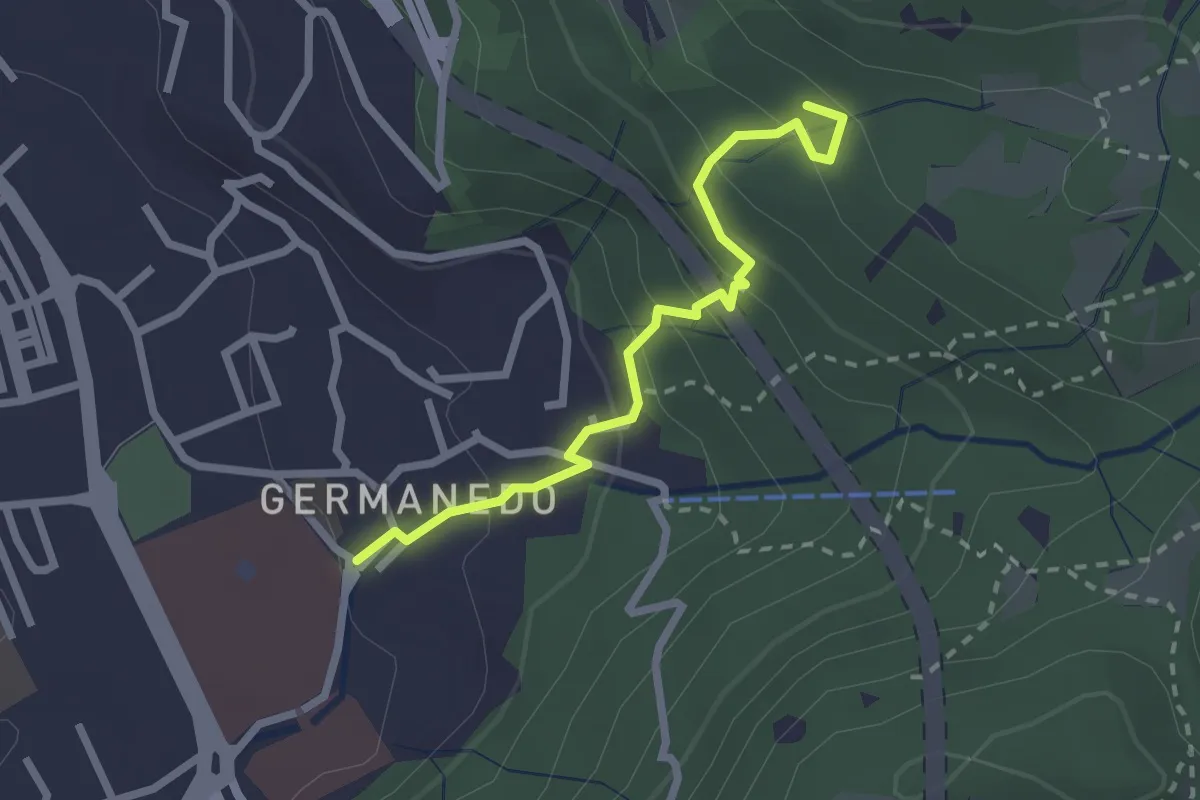
Easy · Trail
Lecco – Innesto su percorso 903
2.4 km · ↑ 183 m · 57 min · 5 km away
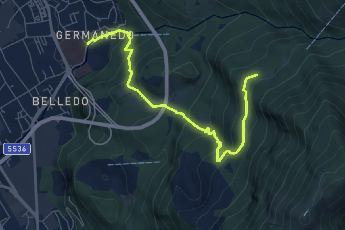
Medium · Trail
Lecco – Campo de' Boi, La Madonnina
6.5 km · ↑ 445 m · 2 h 31 min · 5 km away
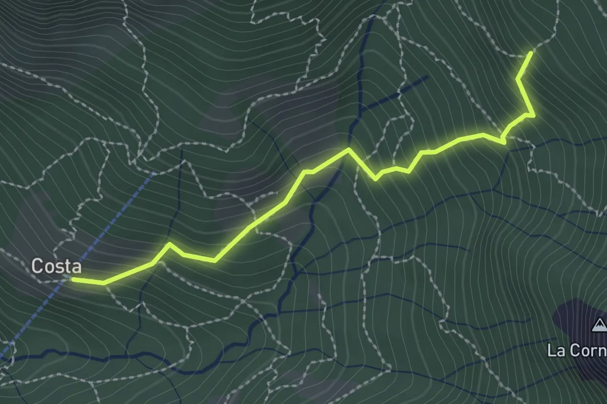
Medium · Trail
Frazione Costa – Innesto sentiero 901
2.4 km · ↑ 303 m · 1 h 14 min · 5 km away
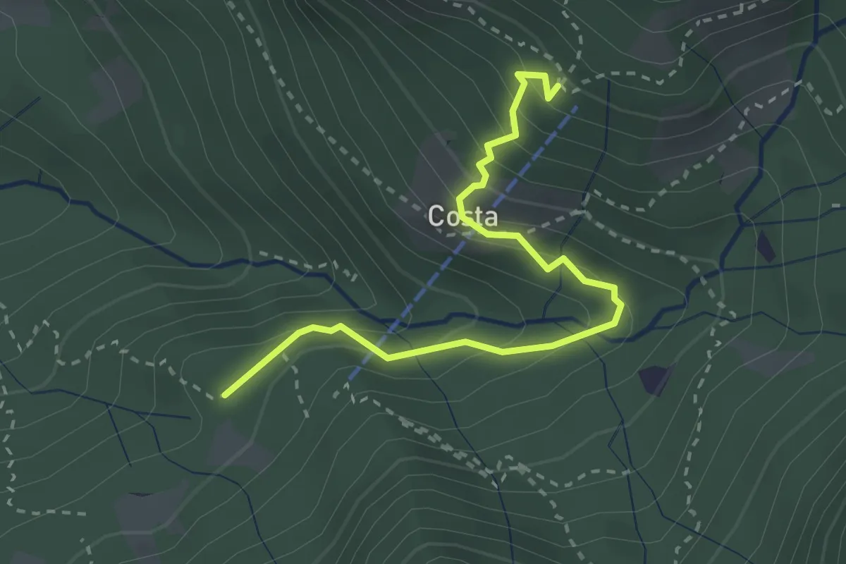
Medium · Cabin
Innesto 919 – Rifugio Sotppani
3.0 km · ↑ 272 m · 1 h 18 min · 5 km away
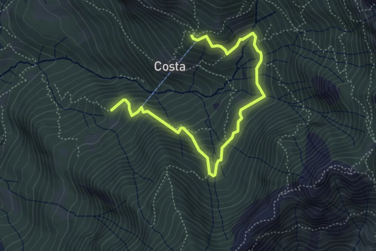
Medium · Cabin
Rifugio Stoppani – Innesto sentiero 919
5.6 km · ↑ 532 m · 2 h 28 min · 5 km away
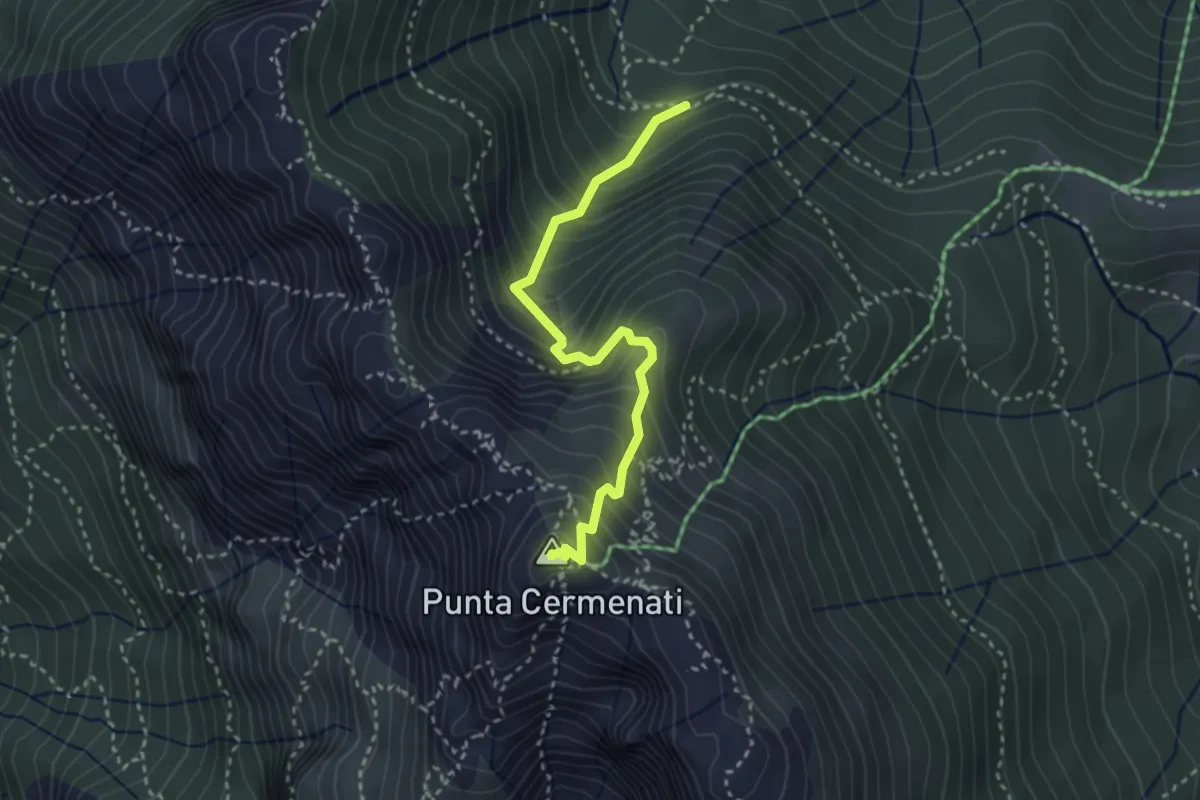
Demanding · Summit
Sorgente Forbesette – Monte Resegone
3.1 km · ↑ 458 m · 1 h 44 min · 5 km away
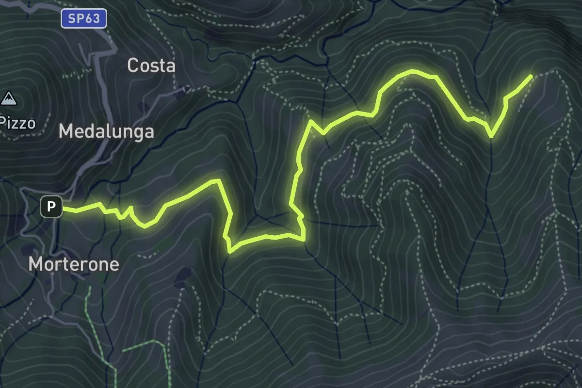
Medium · Trail
Morterone – Selvano
7.0 km · ↑ 331 m · 2 h 23 min · 5 km away
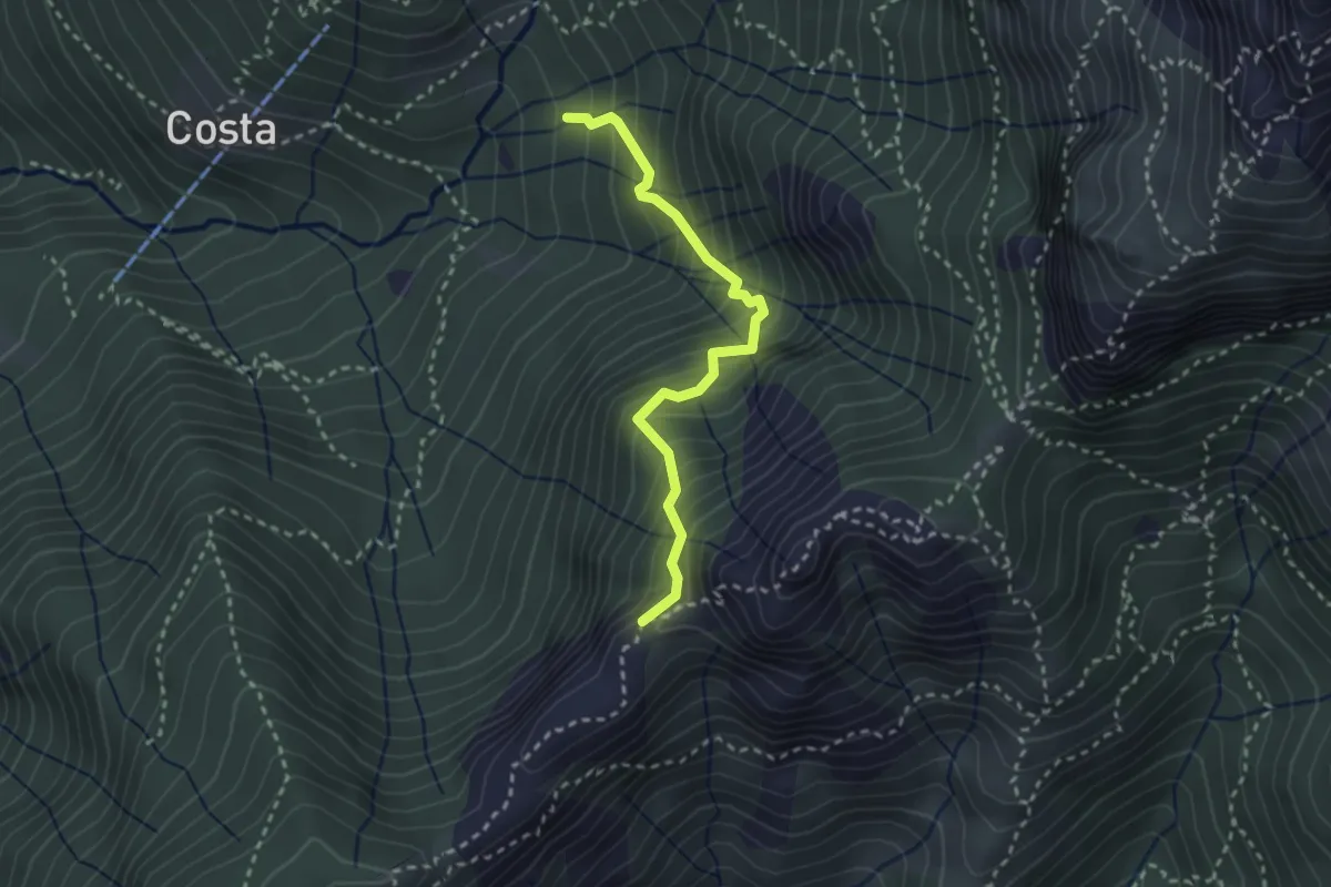
Demanding · Trail
Sentiero della Guardia
2.7 km · ↑ 404 m · 1 h 30 min · 5 km away
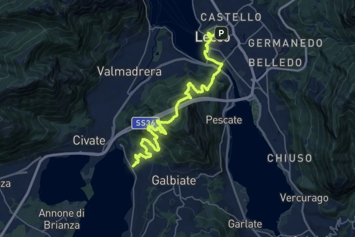
Demanding · Trail
Sentiero Pedemonte - Tappa 4
20.8 km · ↑ 1302 m · 7 h 43 min · 5 km away
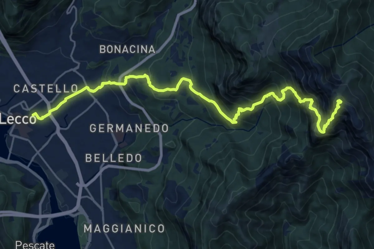
Demanding · Summit
Lecco (Stazione) – Monte Resegone
18.8 km · ↑ 1725 m · 8 h 10 min · 5 km away
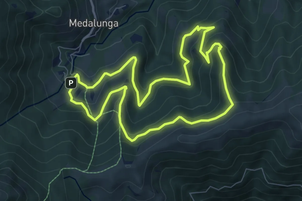
Medium · Trail
Sentiero dei Grandi Alberi - Anello
7.4 km · ↑ 485 m · 2 h 54 min · 5 km away
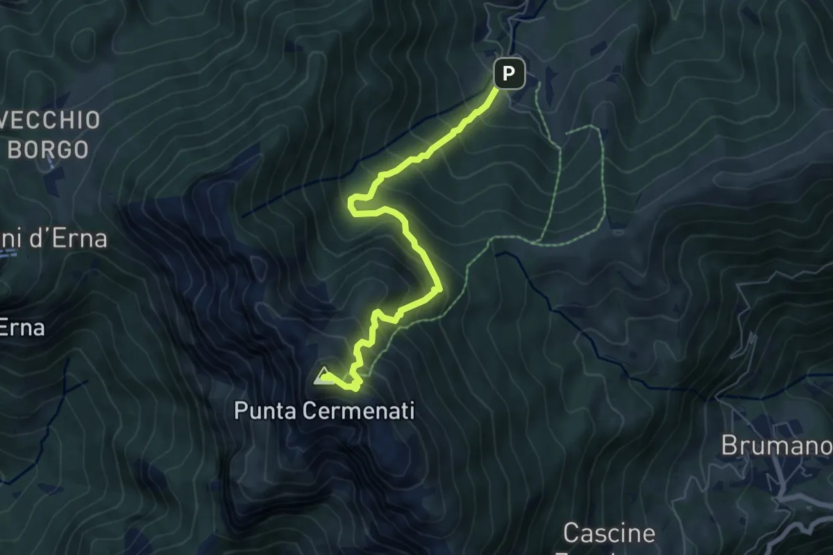
Medium · Summit
Morterone – Monte Resegone
6.5 km · ↑ 759 m · 3 h 11 min · 5 km away
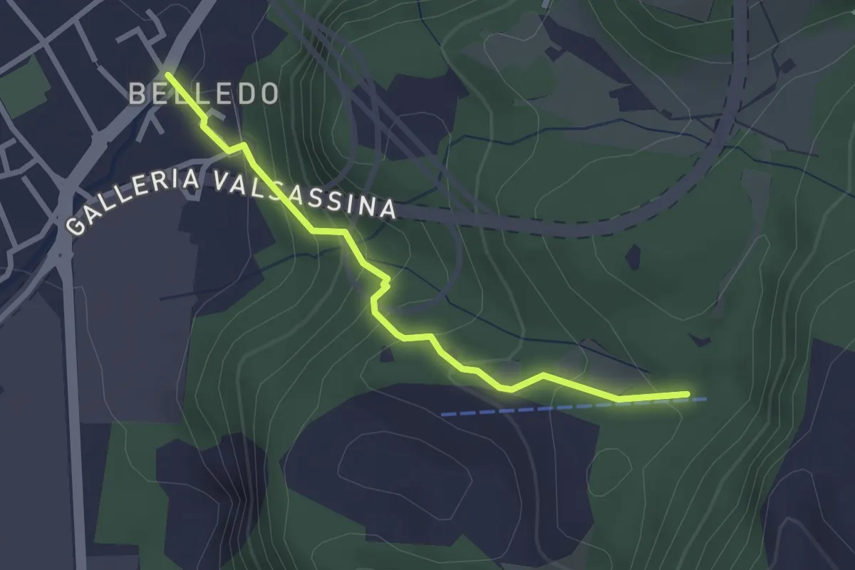
Easy · Trail
Belledo (Lecco) – Sentiero Rotary 920, Vaiolo Bassa
2.5 km · ↑ 202 m · 1 h 1 min · 5 km away
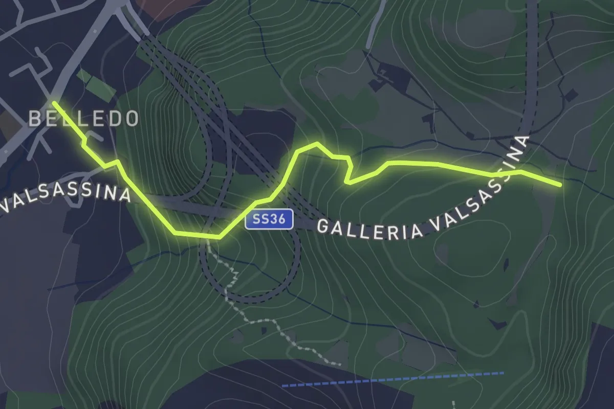
Easy · Trail
Belledo (Lecco) – Sentiero Rotary 920
2.7 km · ↑ 228 m · 1 h 8 min · 5 km away
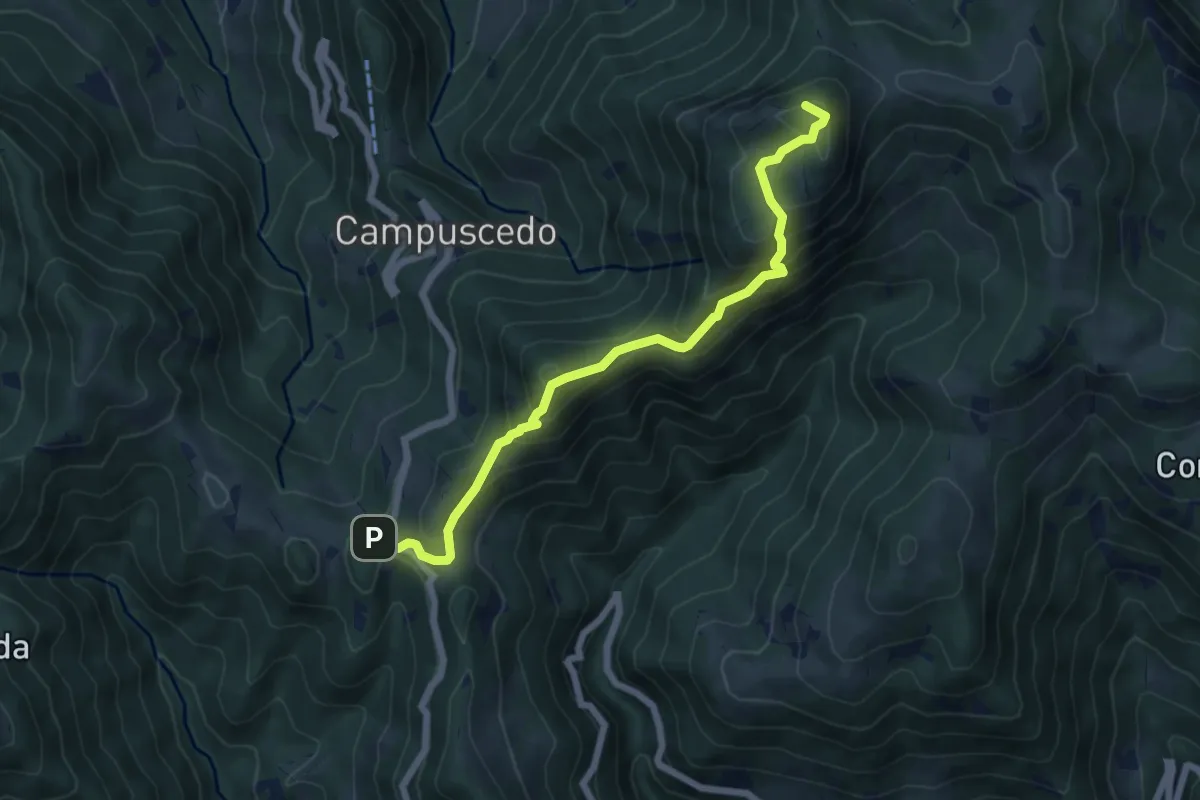
Medium · Summit
Culmine San Pietro – Area di sosta Maesimo
6.4 km · ↑ 504 m · 2 h 36 min · 5 km away
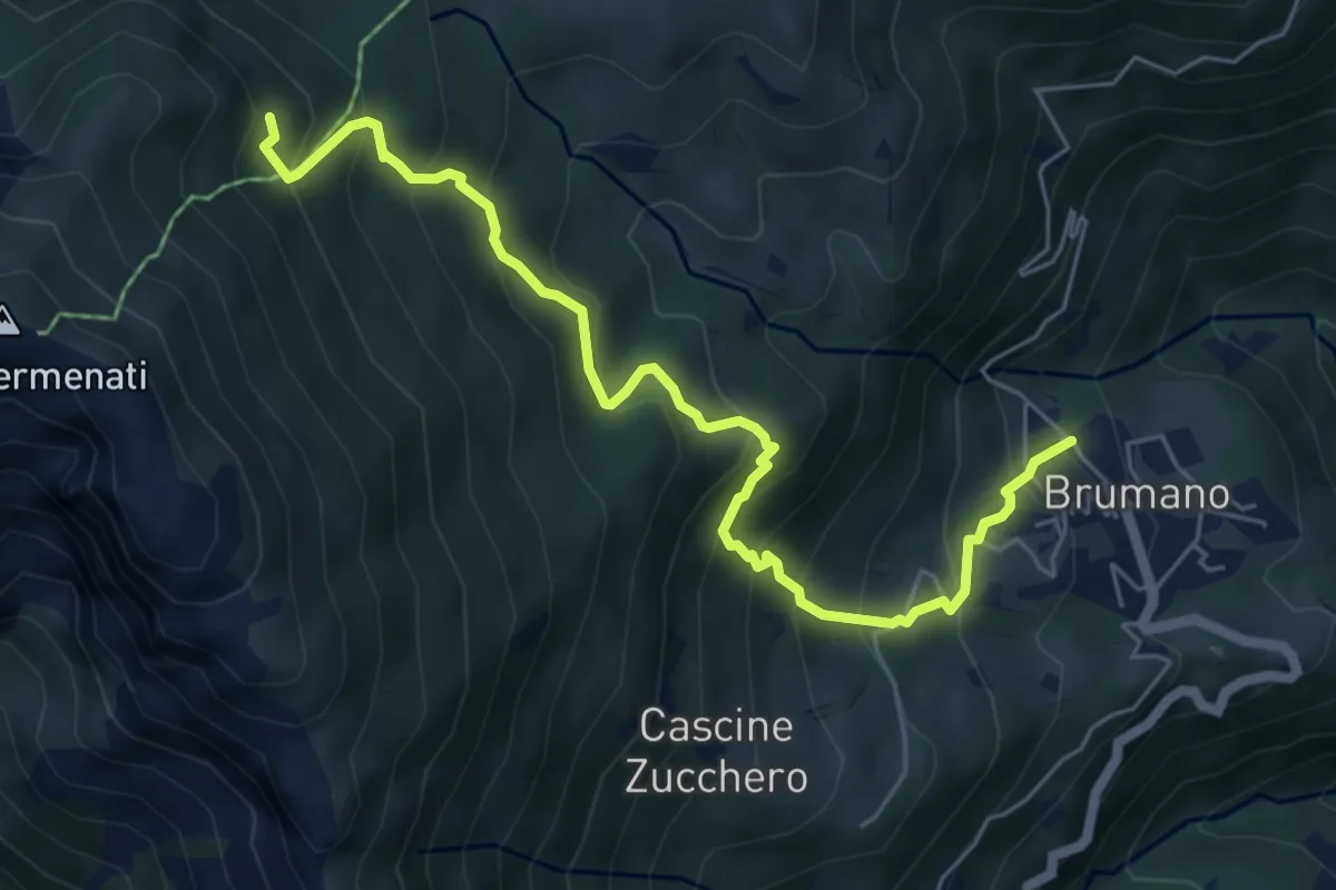
Medium · Trail
Brumano – Colletto di Brumano (incrocio 571)
6.4 km · ↑ 625 m · 2 h 52 min · 6 km away
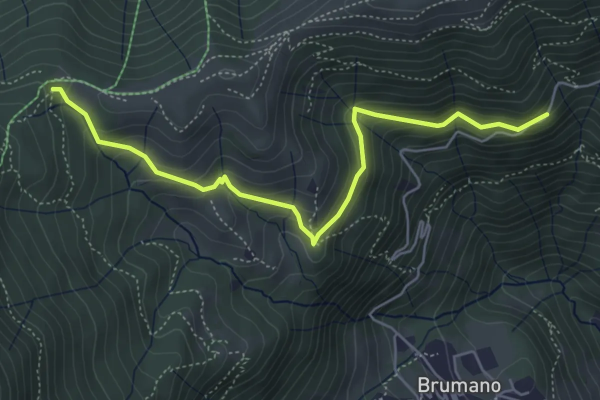
Medium · Trail
Strada Brumano/Fuipiano – Bocca di Palio
5.3 km · ↑ 363 m · 2 h 2 min · 6 km away
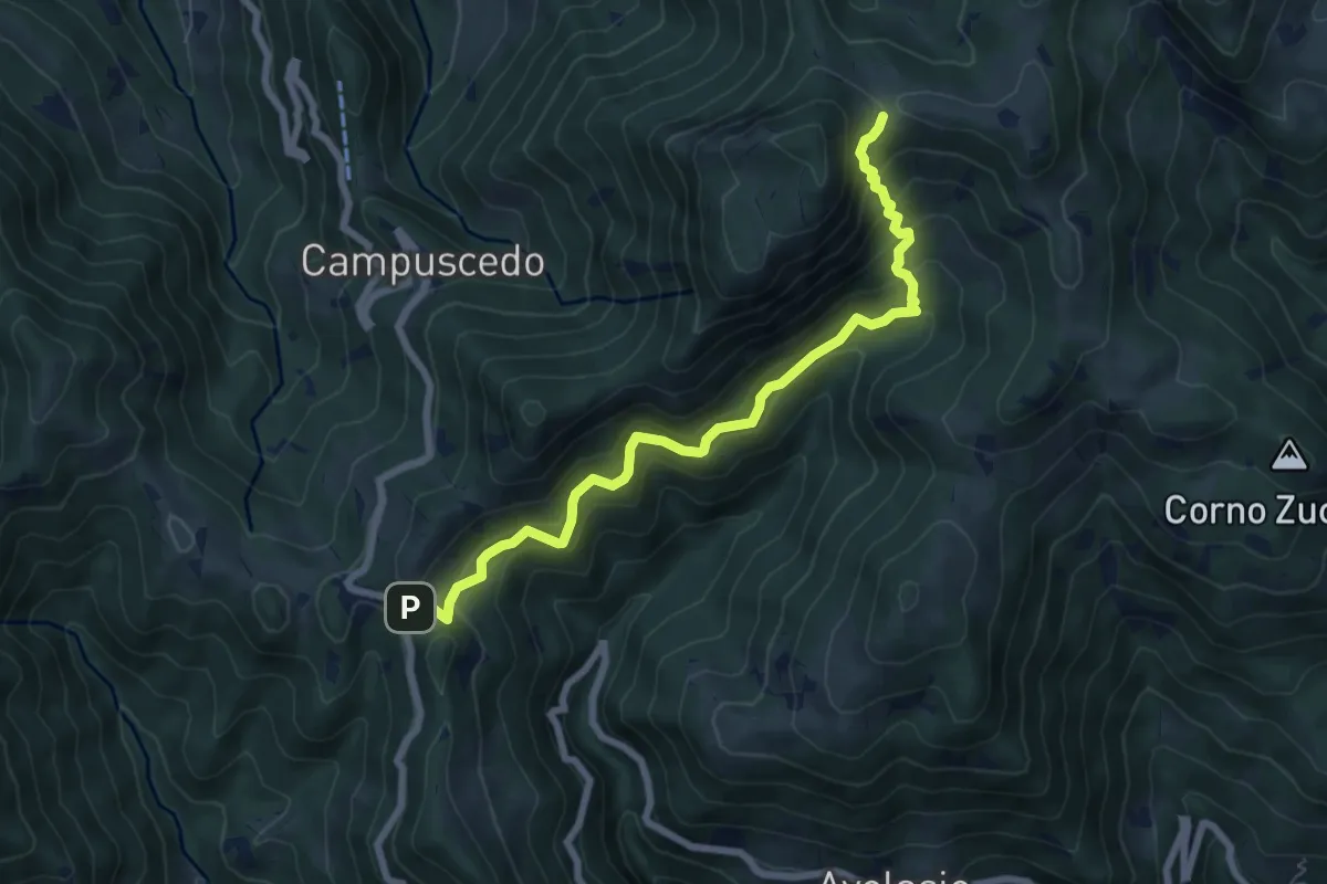
Medium · Trail
Innesto 730 – Area di sosta Maesimo
7.2 km · ↑ 661 m · 3 h 9 min · 6 km away
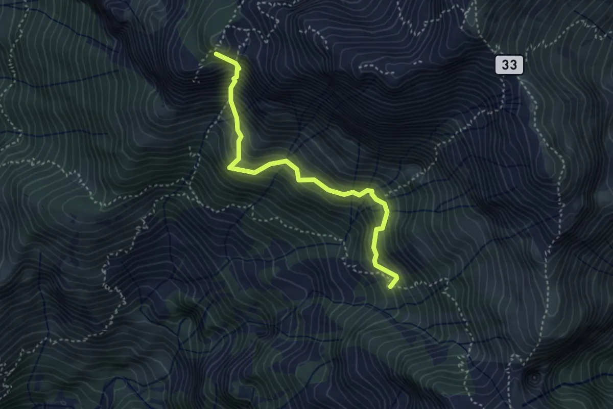
Expert · Summit
Rifugio Elisa – Rifugio Bietti
3.6 km · ↑ 580 m · 2 h 7 min · 6 km away
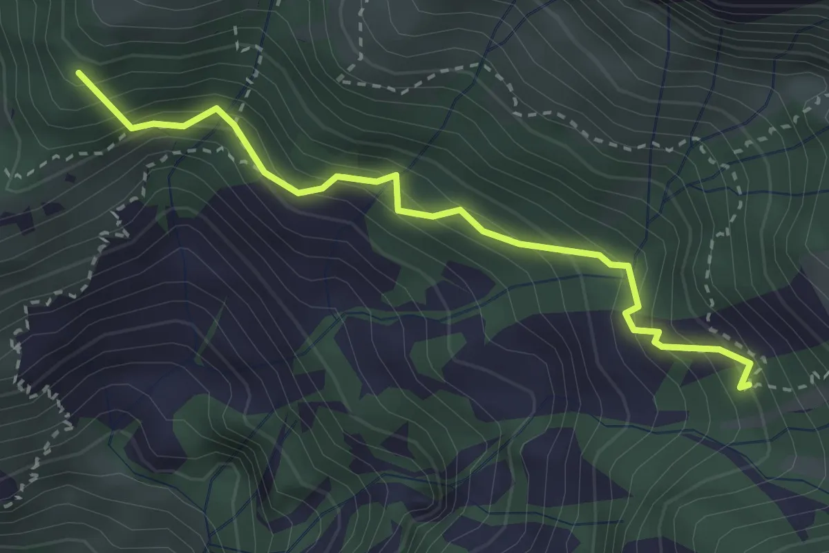
Medium · Summit
La Gardata - Rifugio Elisa
3.1 km · ↑ 395 m · 1 h 35 min · 6 km away
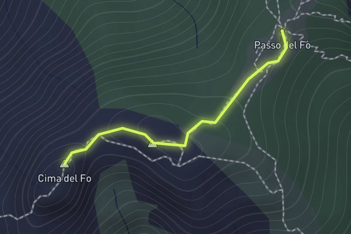
Expert · Summit
Sentiero 928 – Passo del Fo'
1.0 km · ↑ 72 m · 23 min · 6 km away
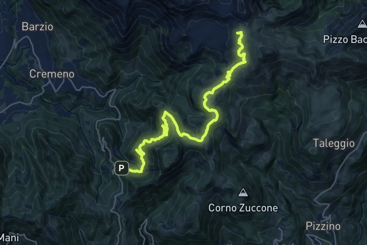
Demanding · Cabin
Campuscedo – Rifugio Cazzaniga-Merlini
19.7 km · ↑ 1105 m · 7 h 2 min · 6 km away
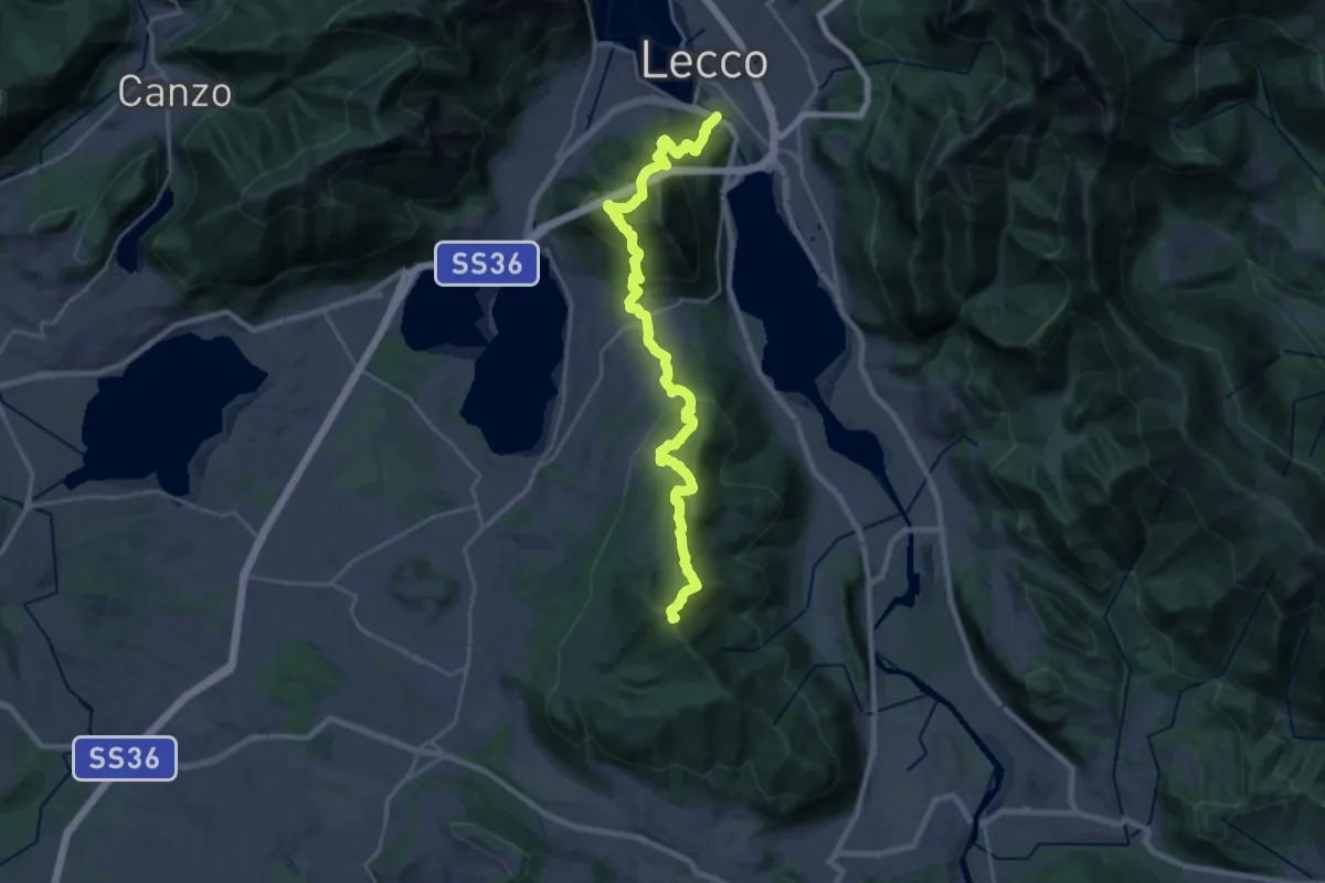
Demanding · Summit
Sentierone
27.4 km · ↑ 1740 m · 10 h 14 min · 6 km away
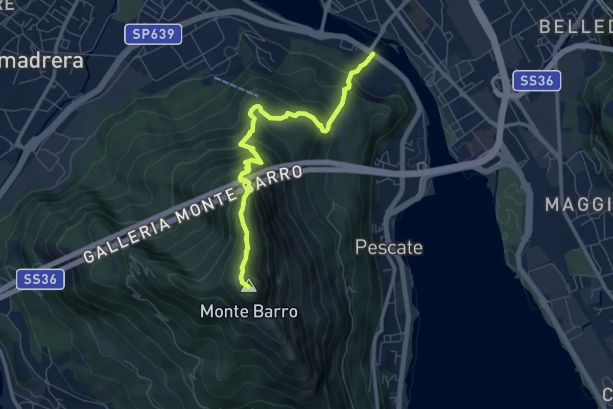
Expert · Summit
Lecco (Ponte Azzone Visconti) – Monte Barro
6.6 km · ↑ 705 m · 3 h 5 min · 6 km away
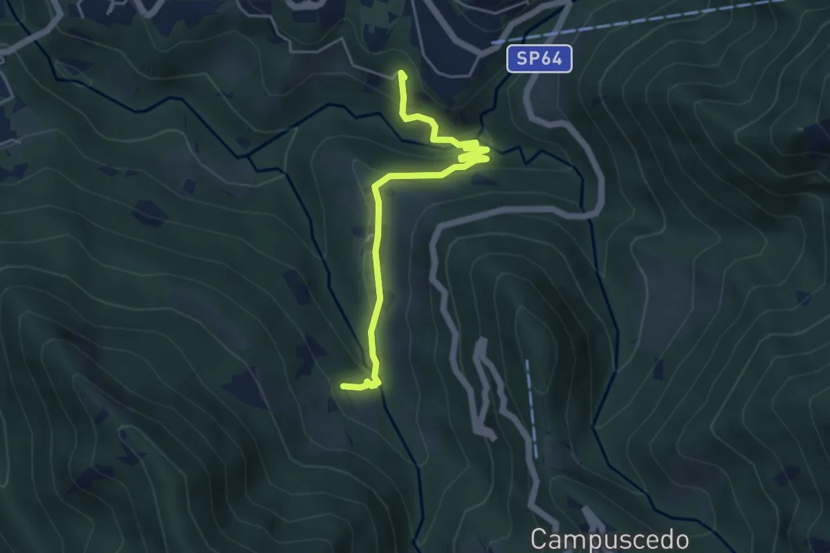
Easy · Trail
Moggio - Ussola
4.5 km · ↑ 162 m · 1 h 24 min · 6 km away
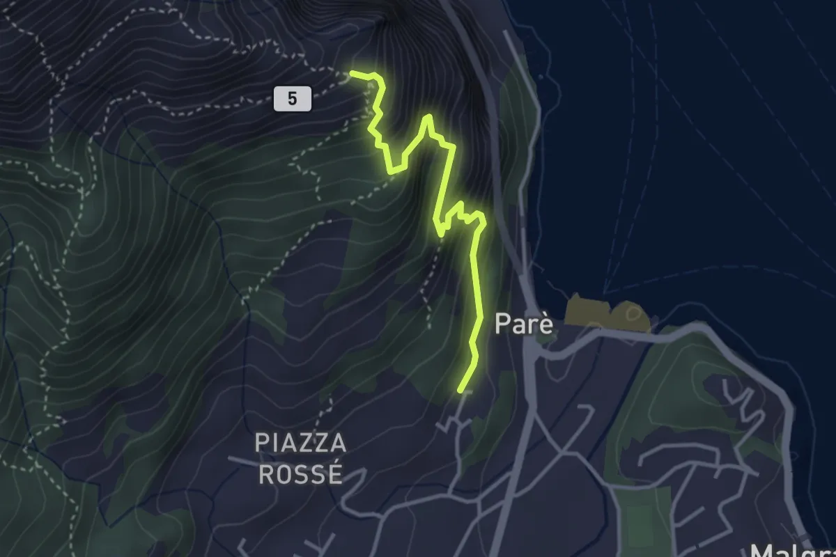
Demanding · Trail
Ul Sentee del Lach
3.2 km · ↑ 418 m · 1 h 40 min · 6 km away
Demanding · Summit
Rif. Alpinisti Monzesi – Monte Magnodeno
5.1 km · ↑ 345 m · 1 h 57 min · 6 km away
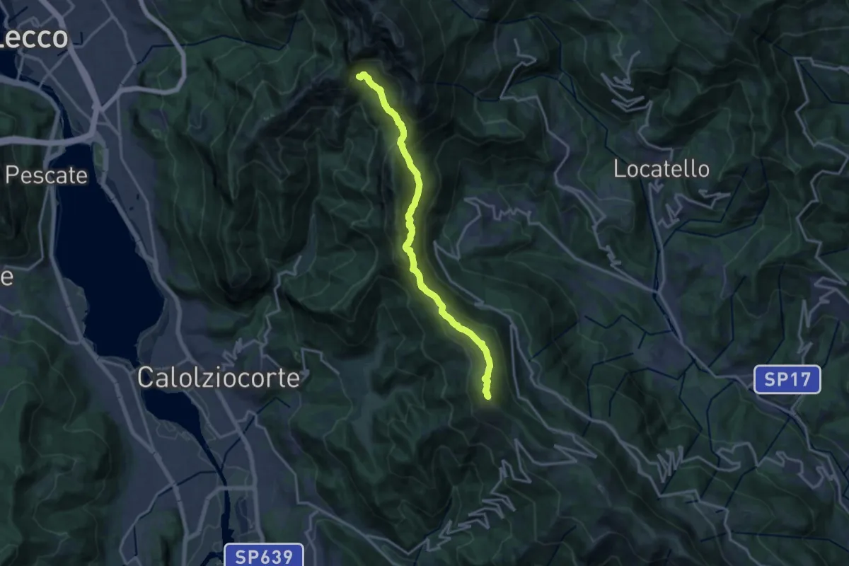
Demanding · Summit
Sentiero del 70° UOEI
14.5 km · ↑ 1044 m · 5 h 41 min · 6 km away
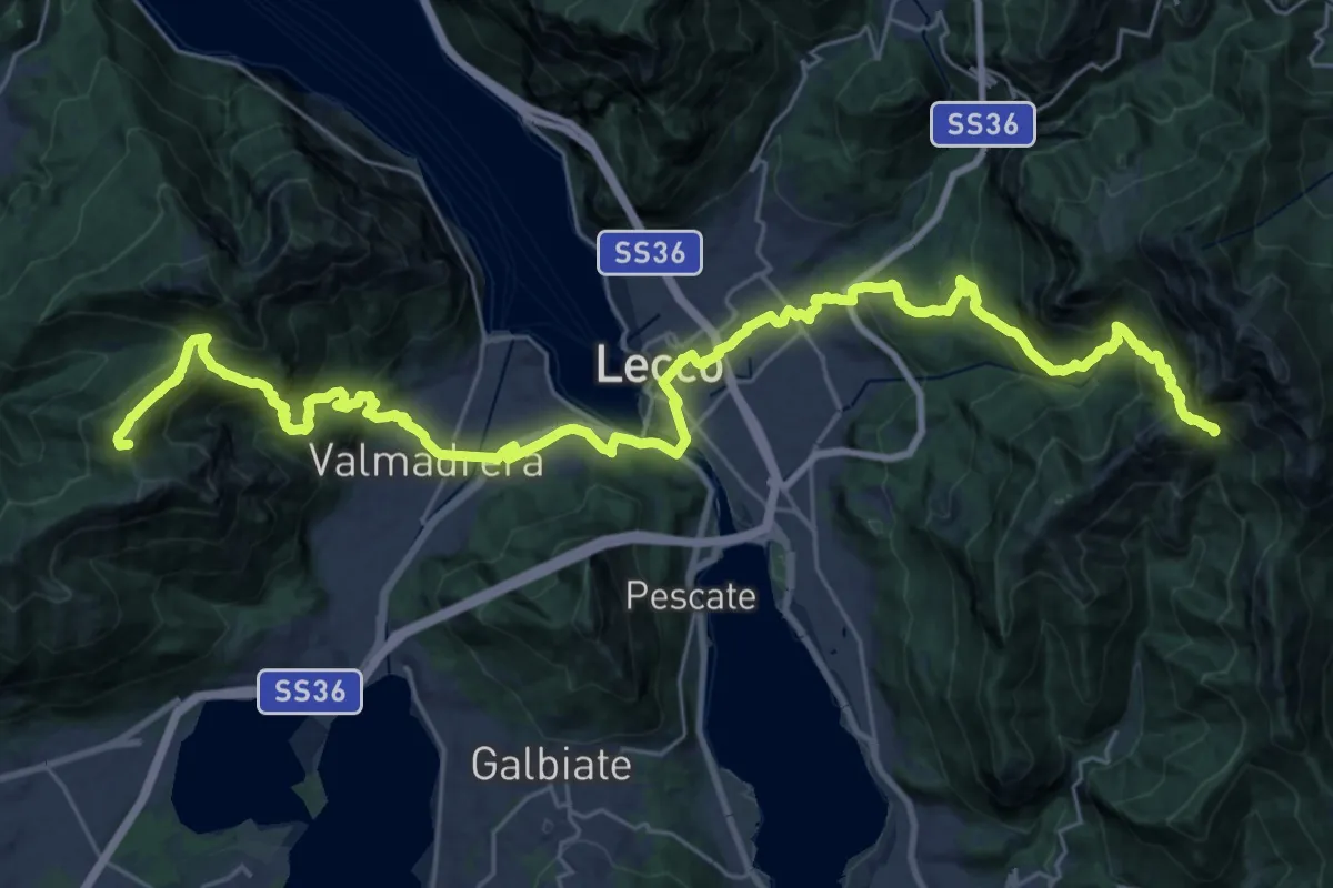
Demanding · Summit
CamminaForeste - Tappa 9C
38.3 km · ↑ 2417 m · 14 h 17 min · 6 km away
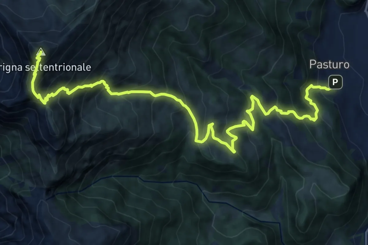
Demanding · Summit
Pasturo - Grignone (via estiva)
18.3 km · ↑ 1819 m · 8 h 15 min · 6 km away
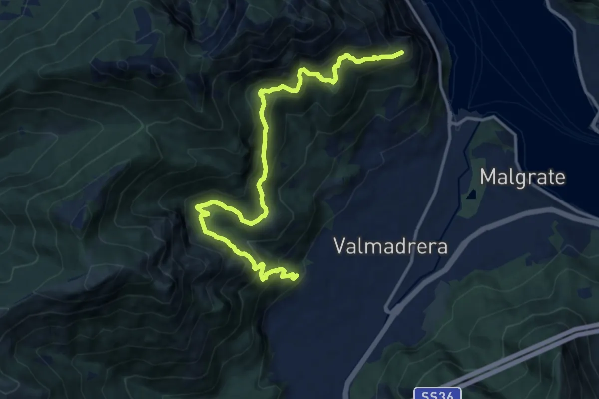
Demanding · Trail
Santuario della Madonna di San Martino – Sasso di Preguda
11.9 km · ↑ 1039 m · 5 h 3 min · 6 km away
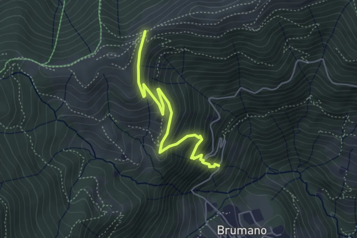
Medium · Trail
Brumano – Passo del Palio
4.3 km · ↑ 401 m · 1 h 54 min · 6 km away
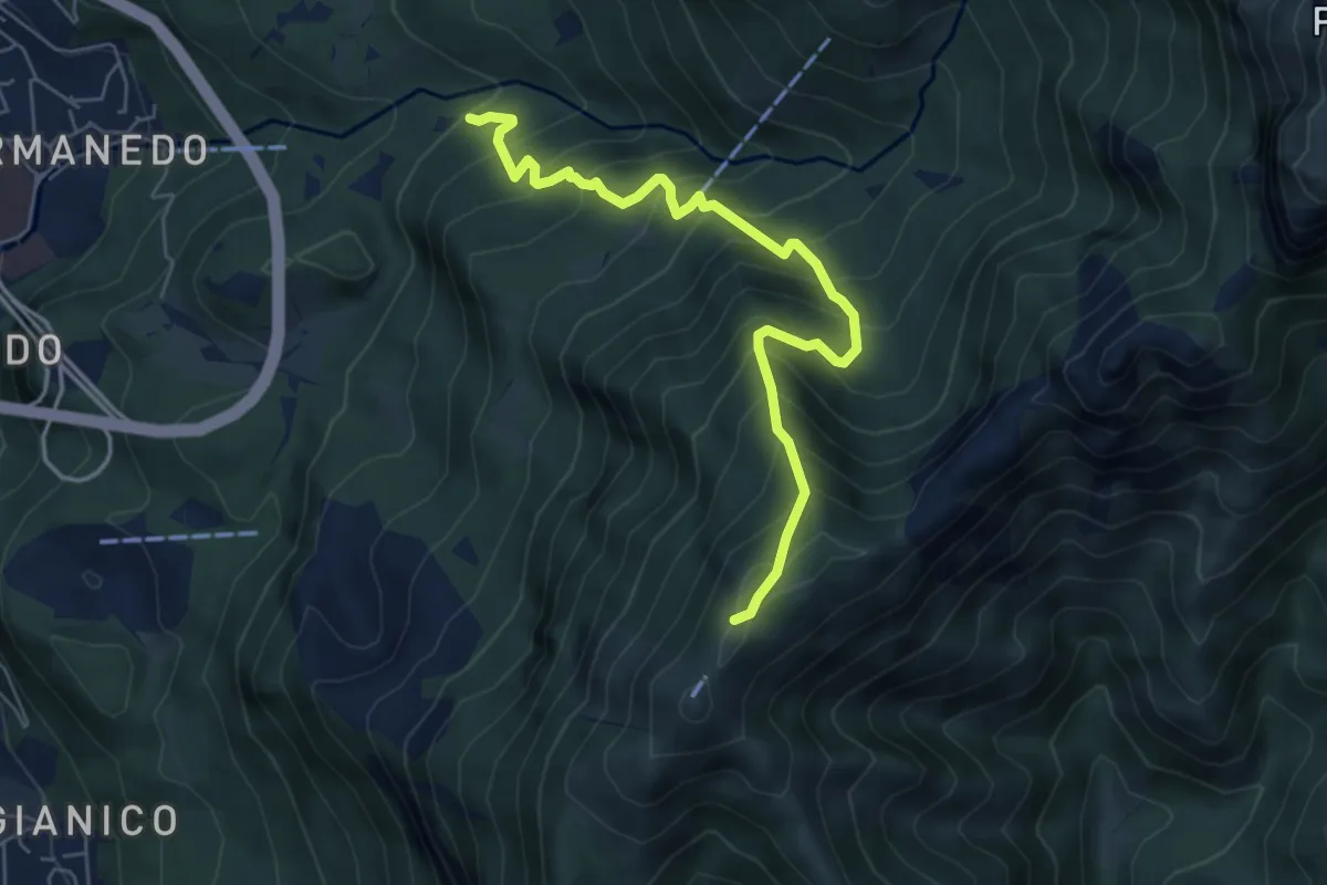
Medium · Trail
Innesto percorso 927 – Monte Magnodeno, innesto percorso 927
6.2 km · ↑ 754 m · 3 h 5 min · 6 km away
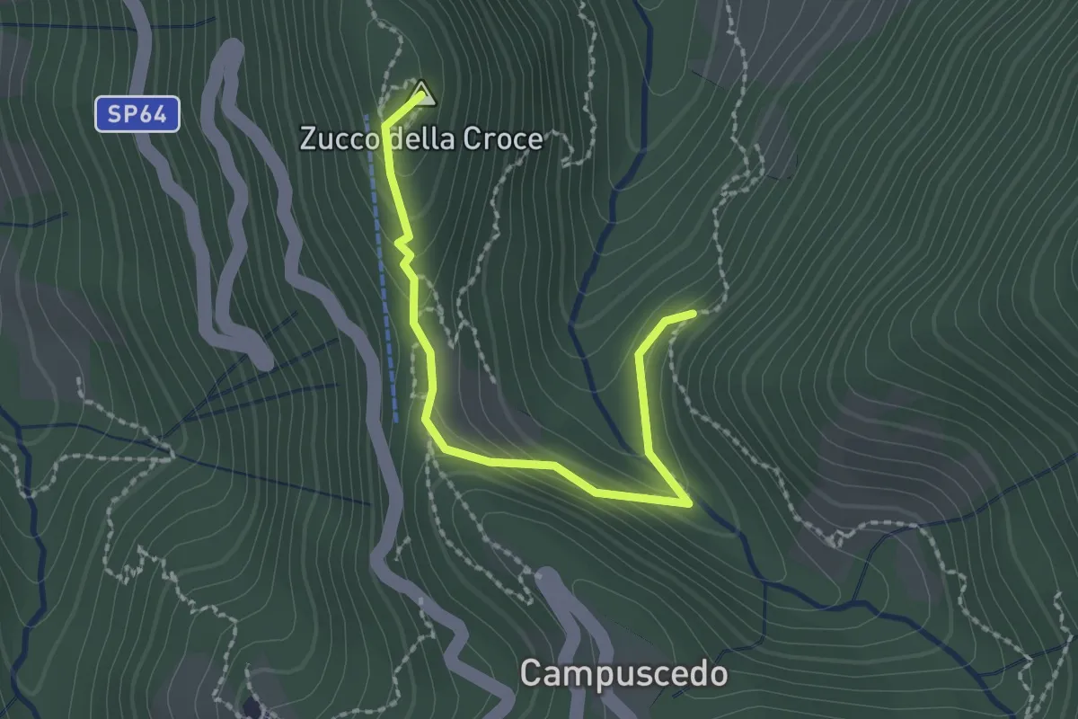
Medium · Summit
Baite Francetto – Rifugio Zucco della Croce
2.1 km · ↑ 115 m · 45 min · 6 km away
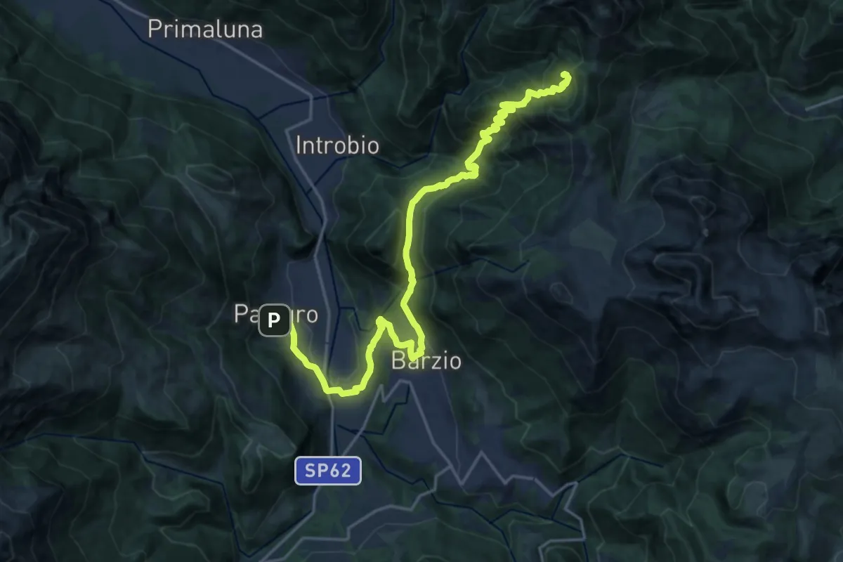
Demanding · Cabin
Pasturo – Rifugio Buzzoni
10.6 km · ↑ 1181 m · 4 h 46 min · 6 km away
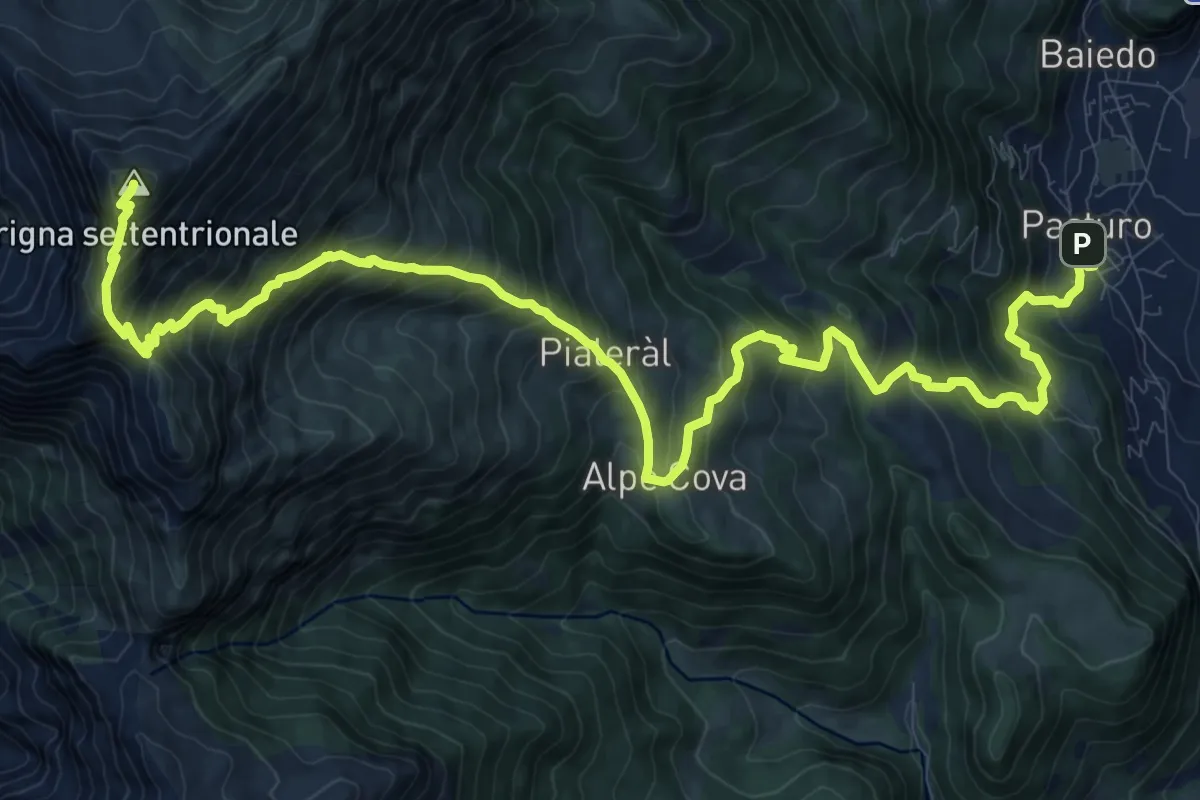
Demanding · Summit
Rifugio Luigi Brioschi – Pasturo
16.5 km · ↑ 1832 m · 7 h 52 min · 6 km away