Trails near Ballabio
379 hikes starting within 15 km, nearest first.
Nearest first, page 3 of 8
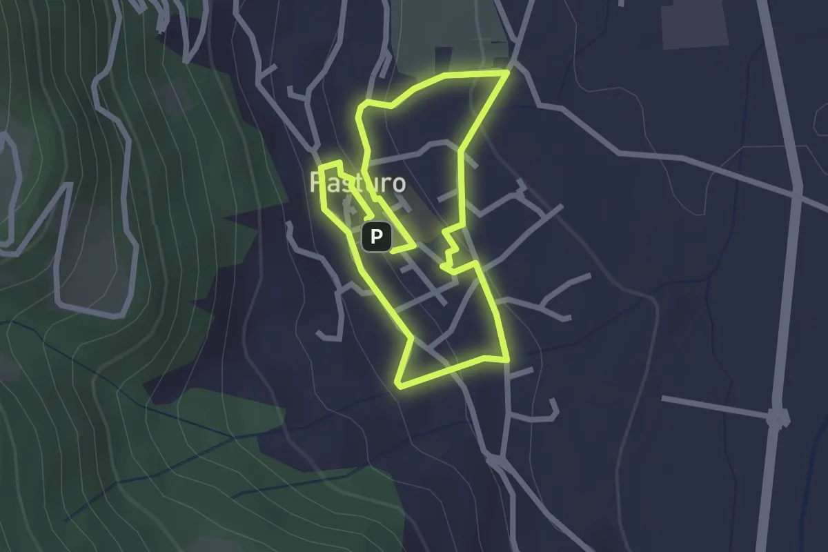
Easy · Trail
Percorso poetico di Antonia Pozzi
2.0 km · ↑ 69 m · 39 min · 6 km away
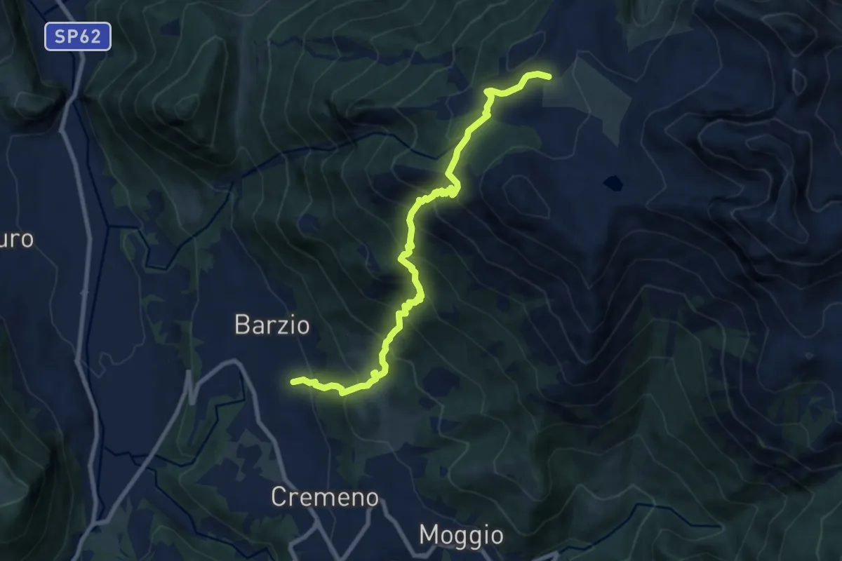
Demanding · Trail
Vallicello – Piani di Bobbio (Chiesa)
8.7 km · ↑ 919 m · 4 h 3 min · 6 km away
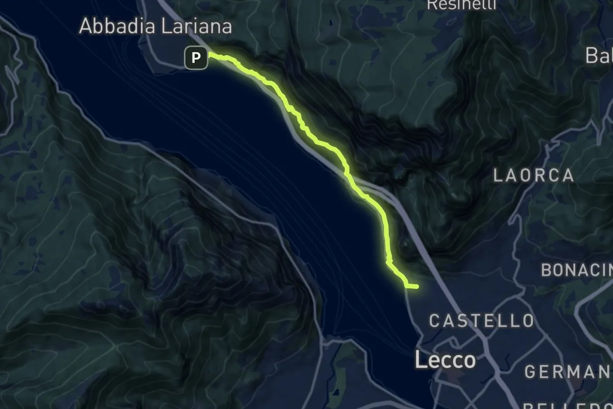
Medium · Summit
Sentiero del Viandante (Lecco - Abbadia Lariana)
11.1 km · ↑ 640 m · 4 h · 6 km away
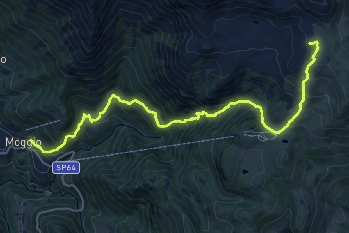
Demanding · Cabin
Moggio – Rifugio Cazzaniga-Merlini
13.2 km · ↑ 1135 m · 5 h 34 min · 6 km away
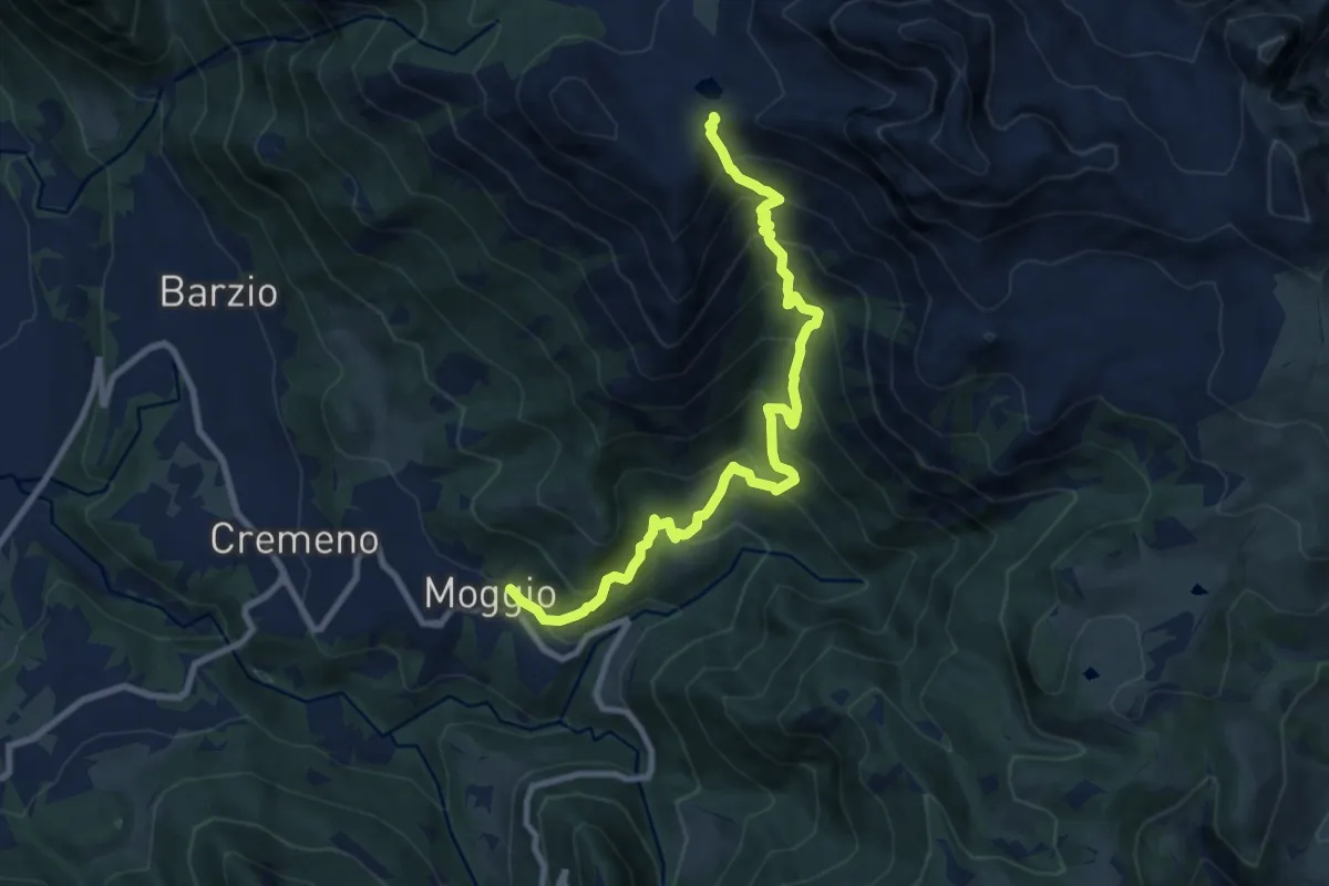
Demanding · Trail
Moggio – Bocchetta di Pesciola
9.9 km · ↑ 1046 m · 4 h 36 min · 6 km away
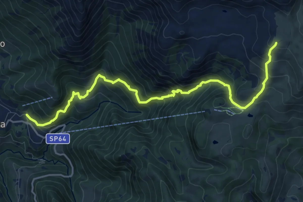
Demanding · Cabin
Moggio – Rifugio Nicola
12.4 km · ↑ 1120 m · 5 h 21 min · 6 km away
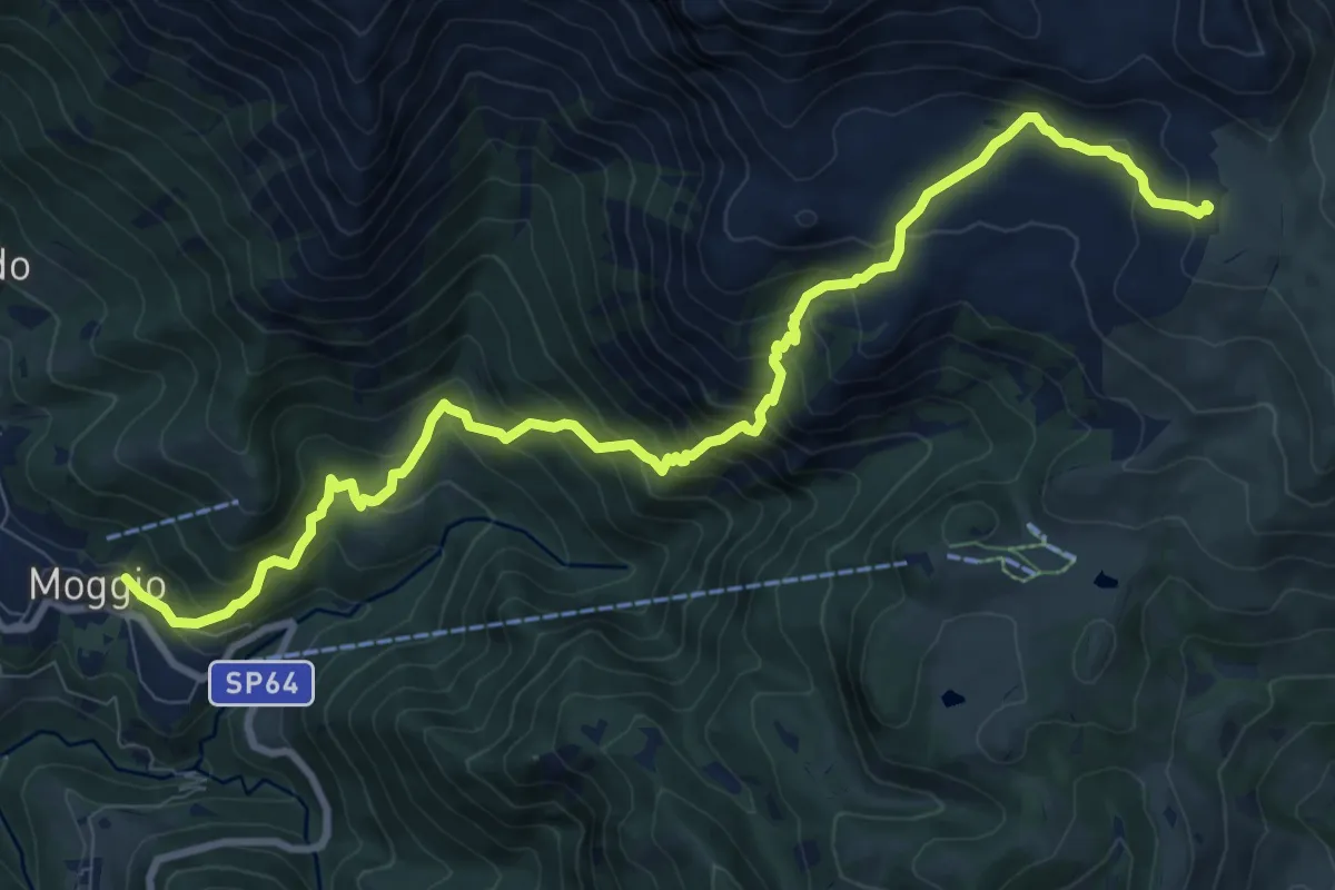
Demanding · Cabin
Sentiero del Canale di Bürei
11.4 km · ↑ 1068 m · 5 h 1 min · 6 km away
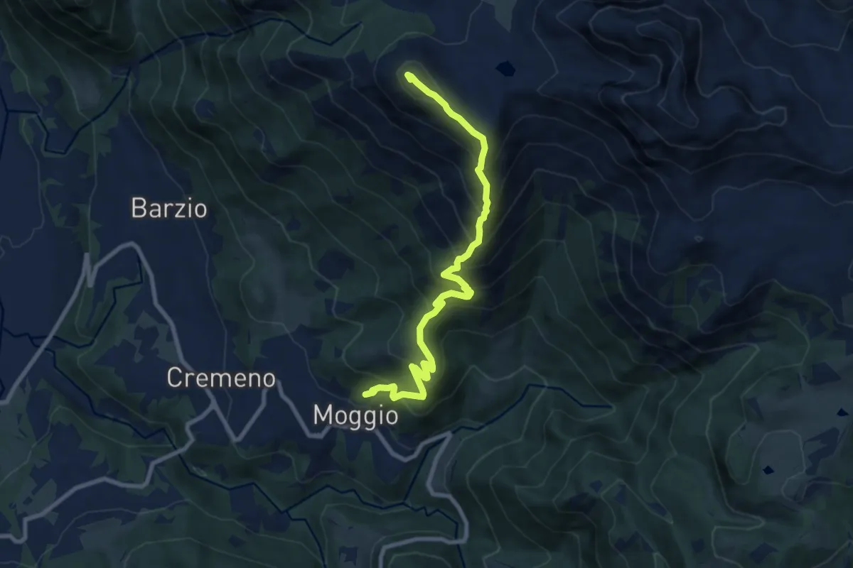
Demanding · Summit
Moggio – Zucco Orscellera
8.7 km · ↑ 996 m · 4 h 13 min · 6 km away
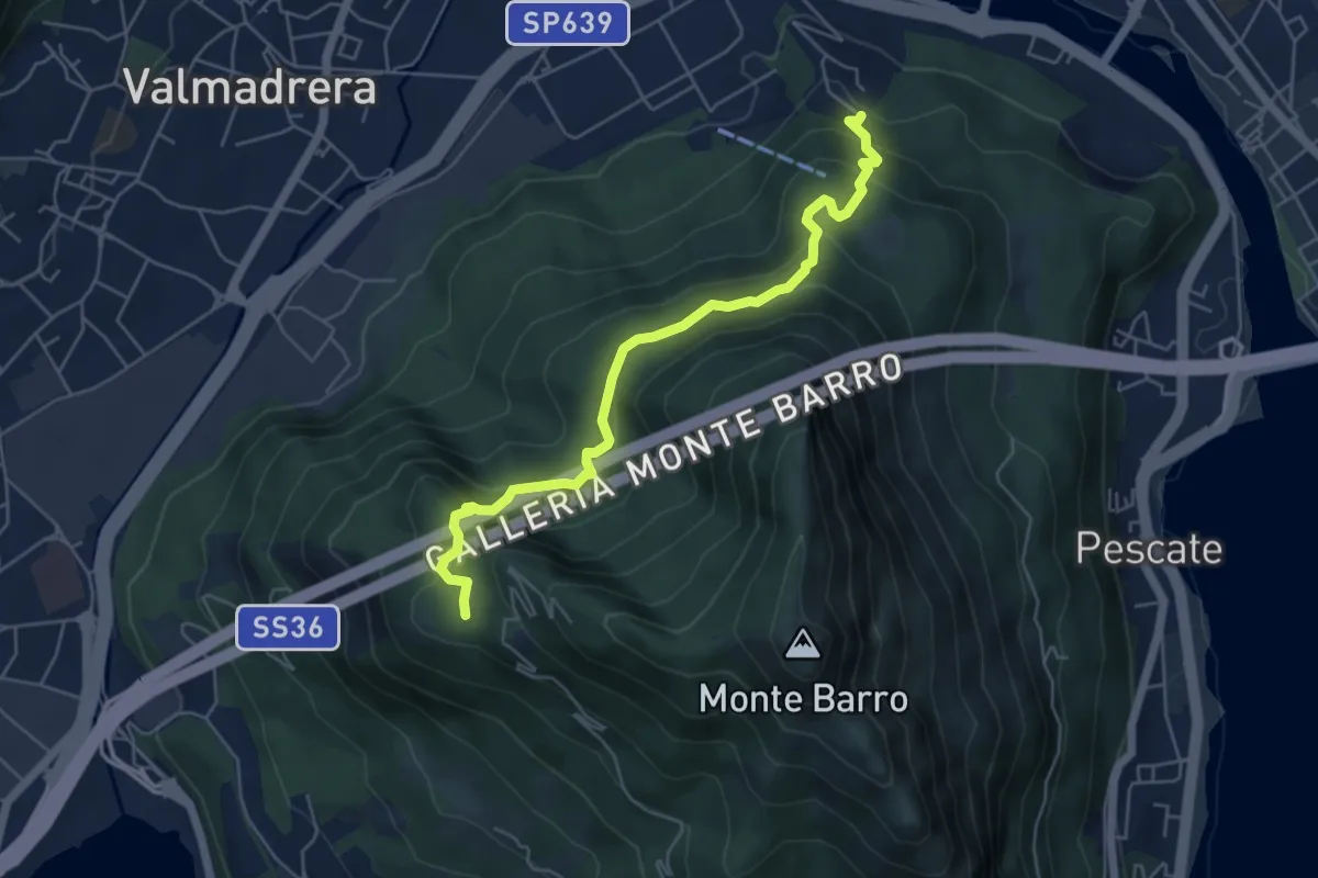
Demanding · Trail
Malgrate – Parco archeologico Monte Barro
5.6 km · ↑ 409 m · 2 h 12 min · 6 km away
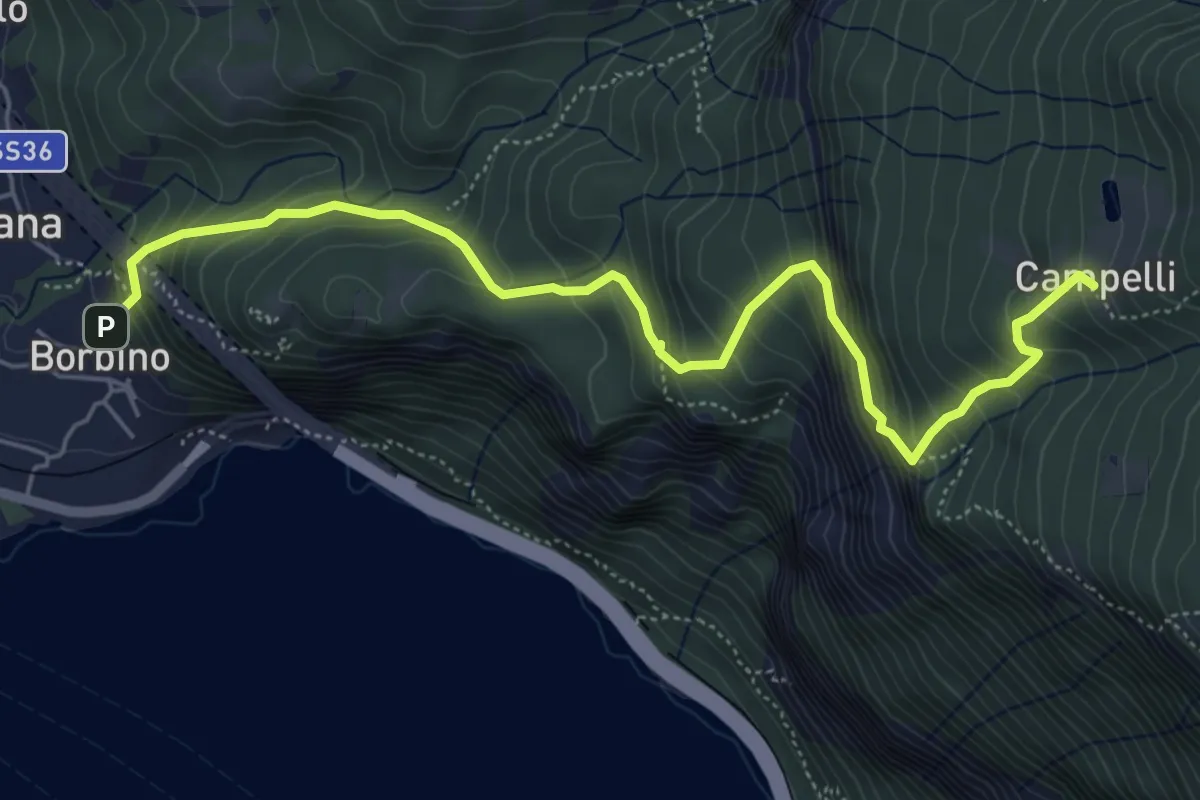
Medium · Trail
Borbino – Campelli, Chiesa di Santa Maria
6.3 km · ↑ 682 m · 2 h 58 min · 7 km away
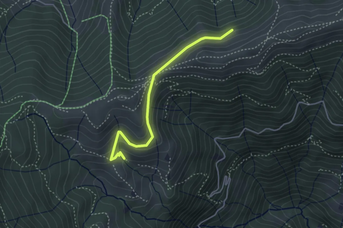
Medium · Cabin
Sentiero dei Grandi Alberi - Variante per il Foo del Büs
3.5 km · ↑ 179 m · 1 h 13 min · 7 km away
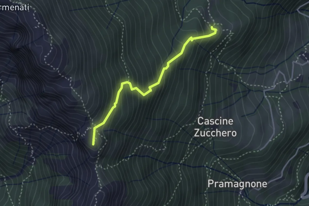
Demanding · Summit
Rifugio Resegone (incrocio 587) – Passo dei Solitari
3.1 km · ↑ 351 m · 1 h 29 min · 7 km away
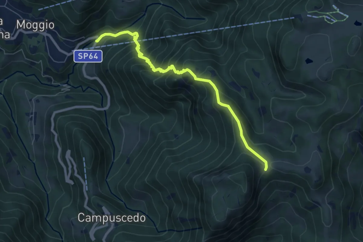
Medium · Trail
Moggio (Mulino) – Area di sosta Maesimo
6.7 km · ↑ 676 m · 3 h 2 min · 7 km away
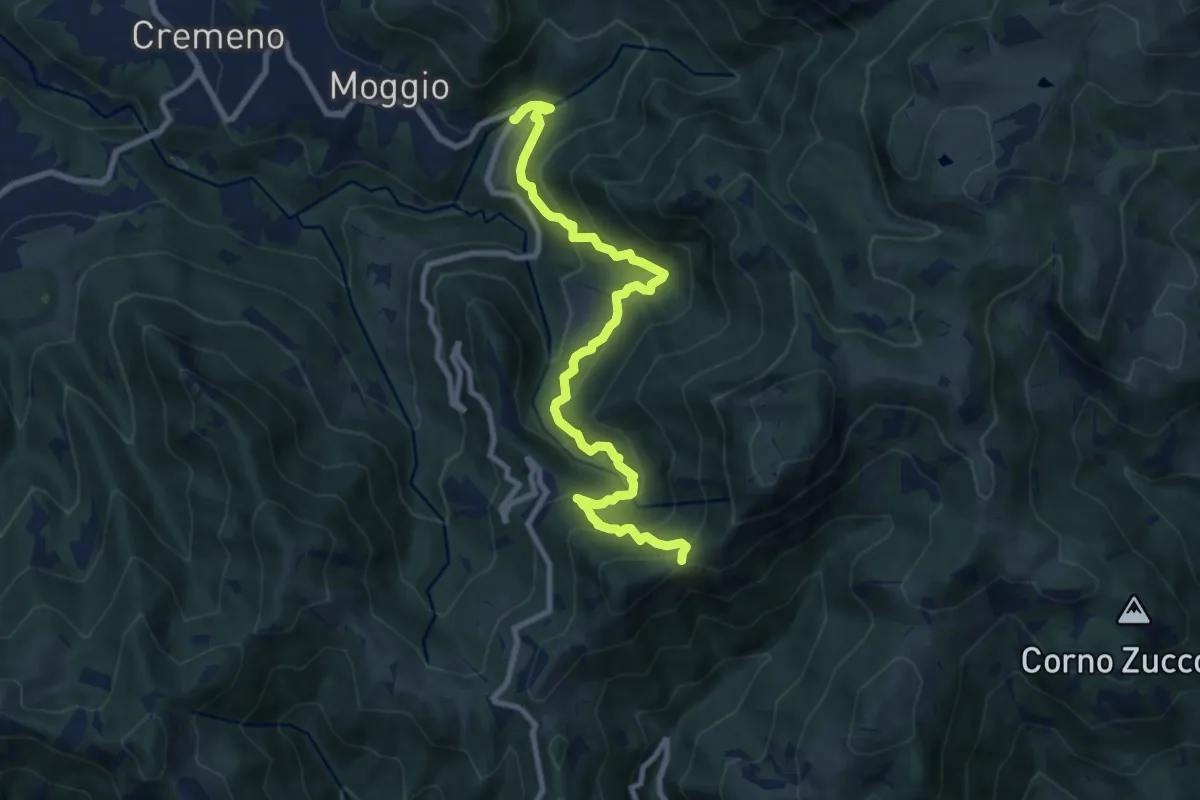
Demanding · Trail
Moggio (Mulino) – Baitel del Lozz
9.8 km · ↑ 912 m · 4 h 17 min · 7 km away
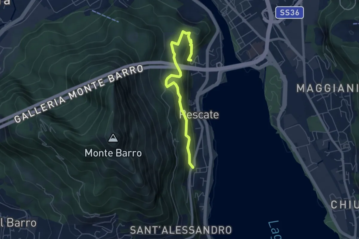
Medium · Trail
Pescalina – Pescate (cimitero)
5.5 km · ↑ 361 m · 2 h 4 min · 7 km away
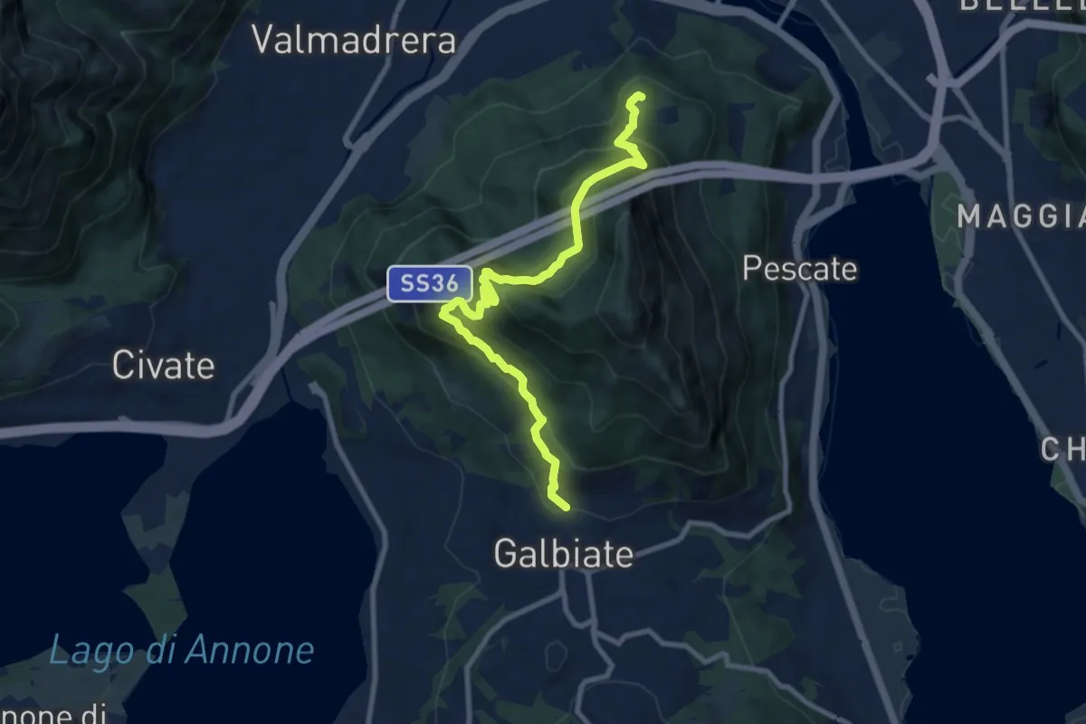
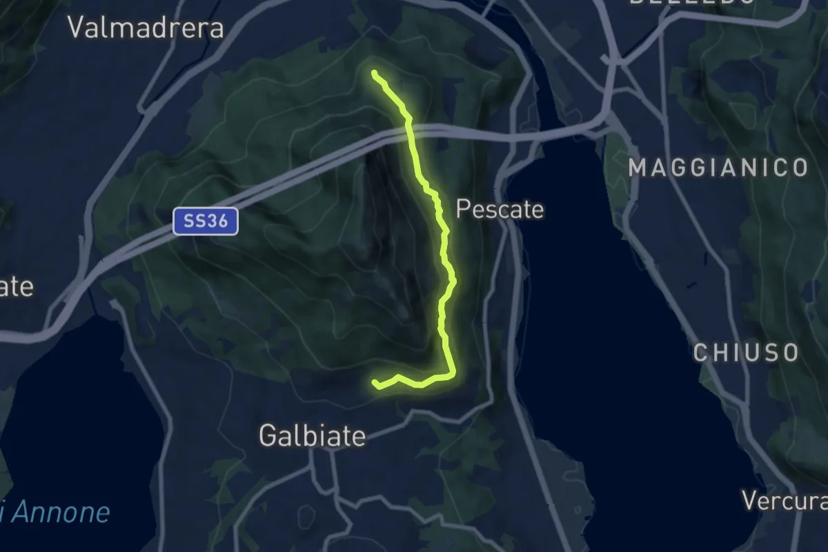
Medium · Trail
Sentiero di mezzo
9.3 km · ↑ 734 m · 3 h 47 min · 7 km away
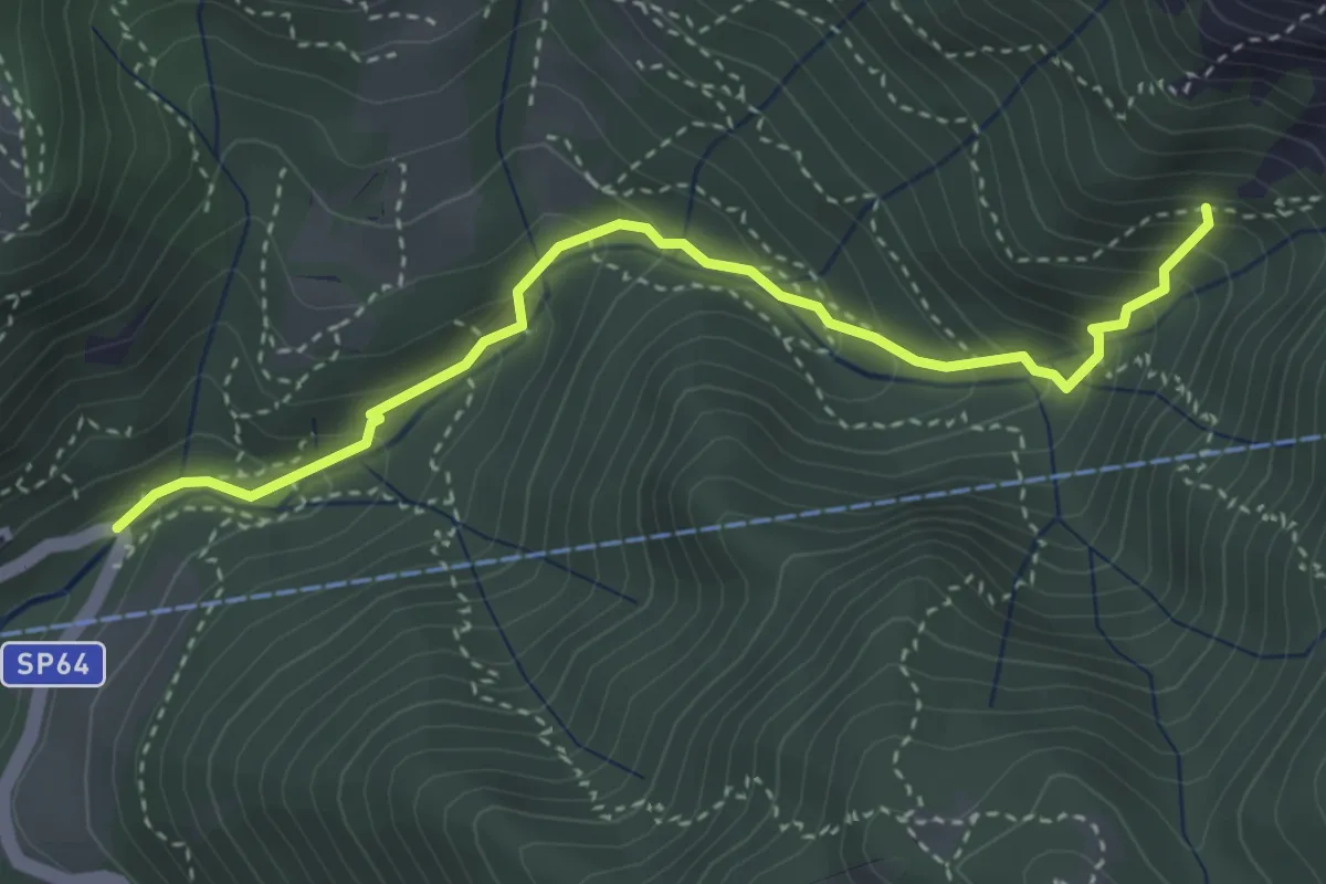
Medium · Trail
Sentiero di mezzo
6.7 km · ↑ 354 m · 2 h 21 min · 7 km away
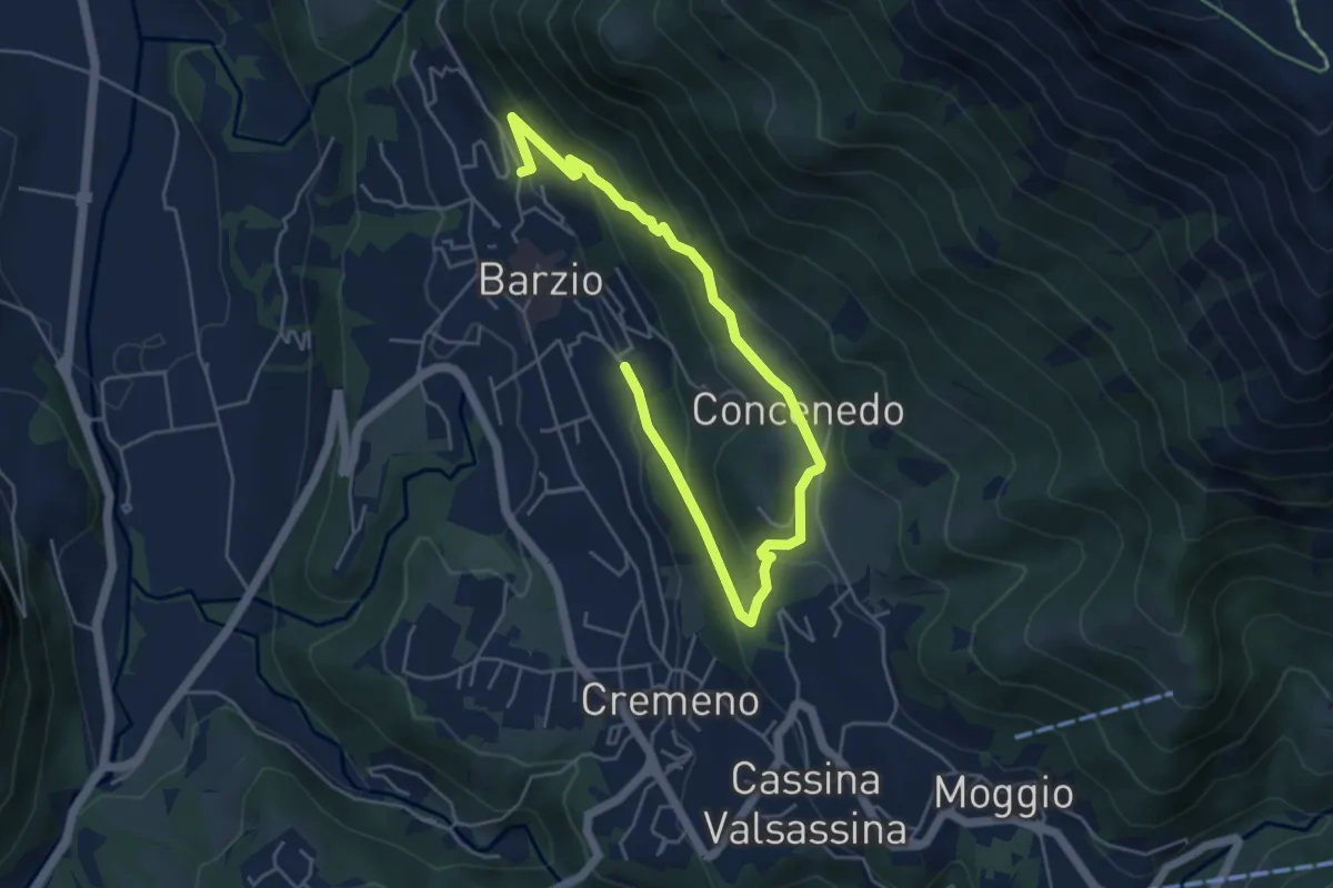
Medium · Trail
Moggio (Mulino) – Innesto 724
3.7 km · ↑ 354 m · 1 h 39 min · 7 km away
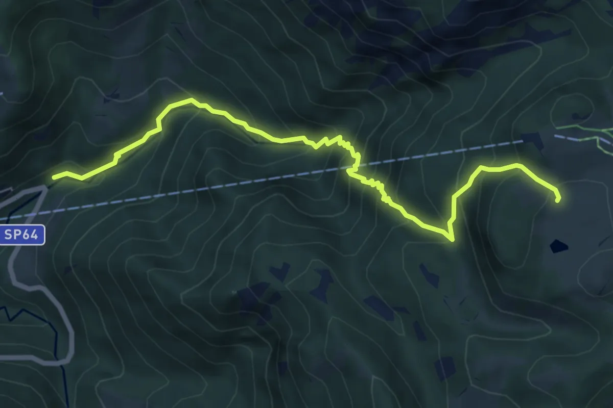
Easy · Trail
Robiasca – Berlendino
6.5 km · ↑ 287 m · 2 h 9 min · 7 km away
Medium · Cabin
Moggio (Mulino) – Ca' Rovellasca
6.8 km · ↑ 749 m · 3 h 14 min · 7 km away
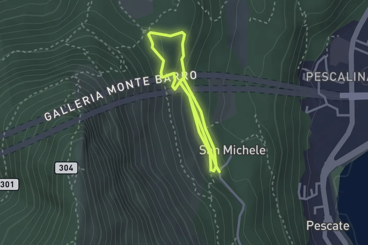
Medium · Trail
San Michele – San Michele
4.2 km · ↑ 208 m · 1 h 26 min · 7 km away
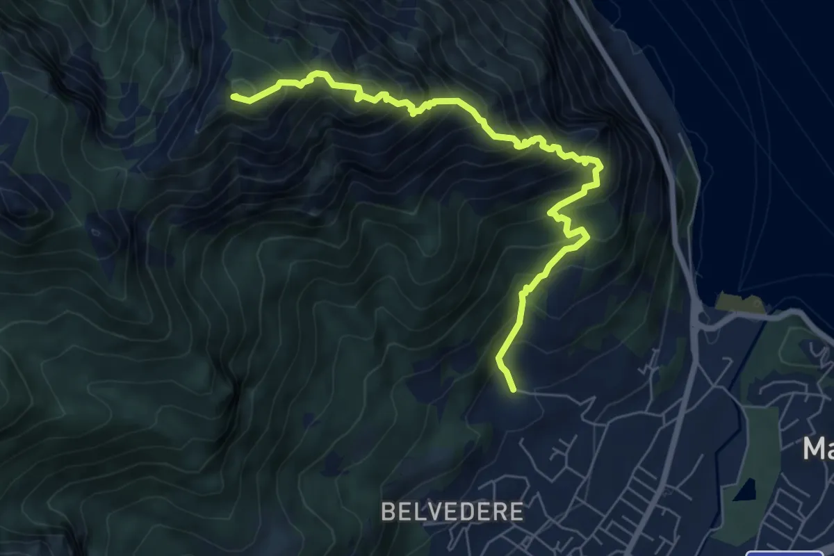
Expert · Summit
Piazza Rossé – Bocchetta di Moregge
7.2 km · ↑ 935 m · 3 h 43 min · 7 km away
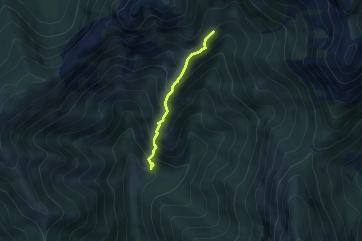
Demanding · Trail
Sentiero 803 – Sentiero 803
2.7 km · ↑ 404 m · 1 h 31 min · 7 km away
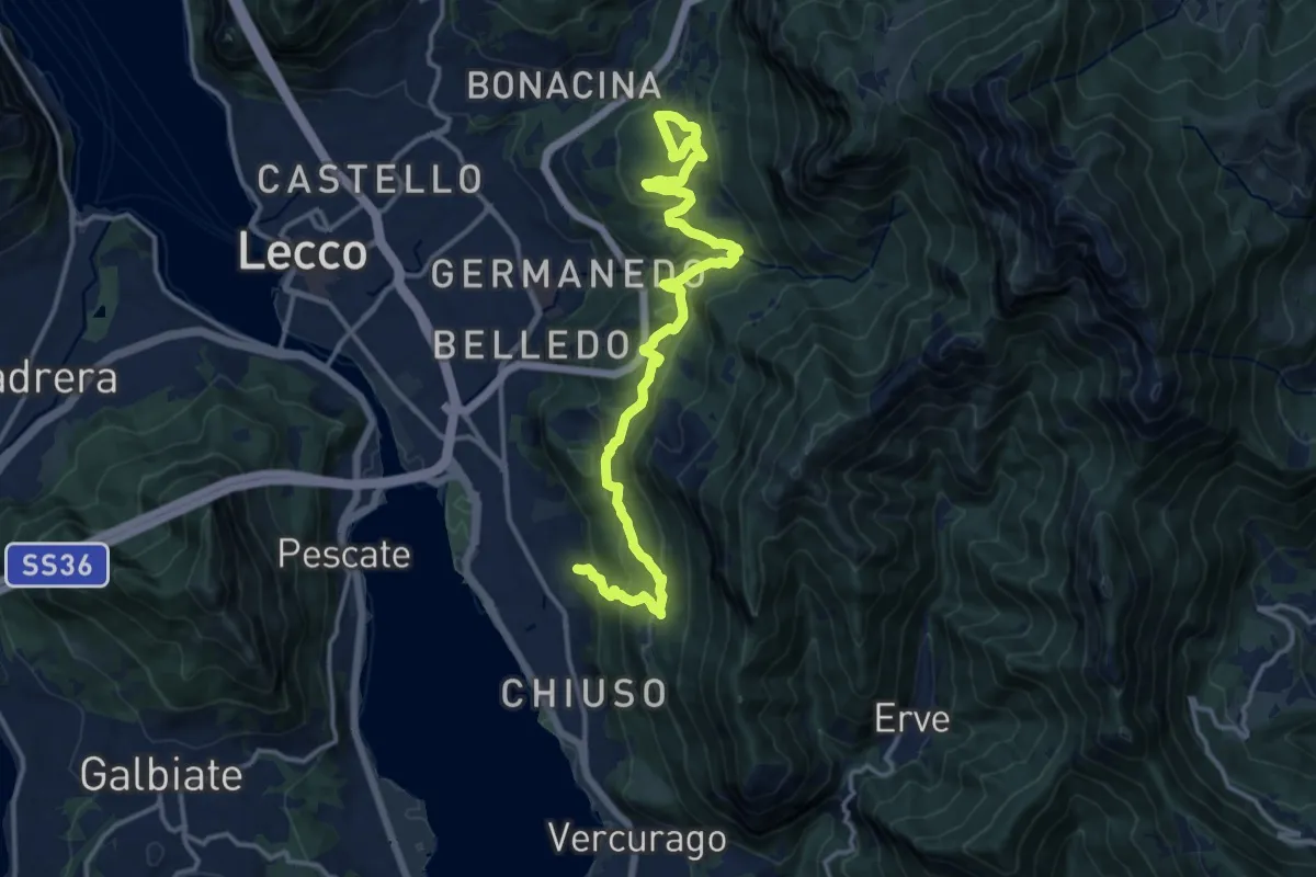
Demanding · Trail
Sentiero Rotary Lecco
16.4 km · ↑ 875 m · 5 h 46 min · 7 km away
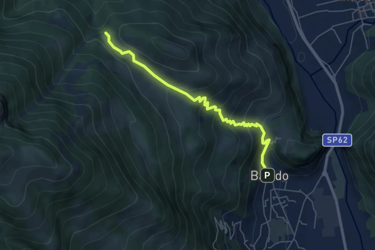
Medium · Trail
Sentiero 34: Baiedo - Rifugio Riva
5.2 km · ↑ 383 m · 2 h 4 min · 7 km away
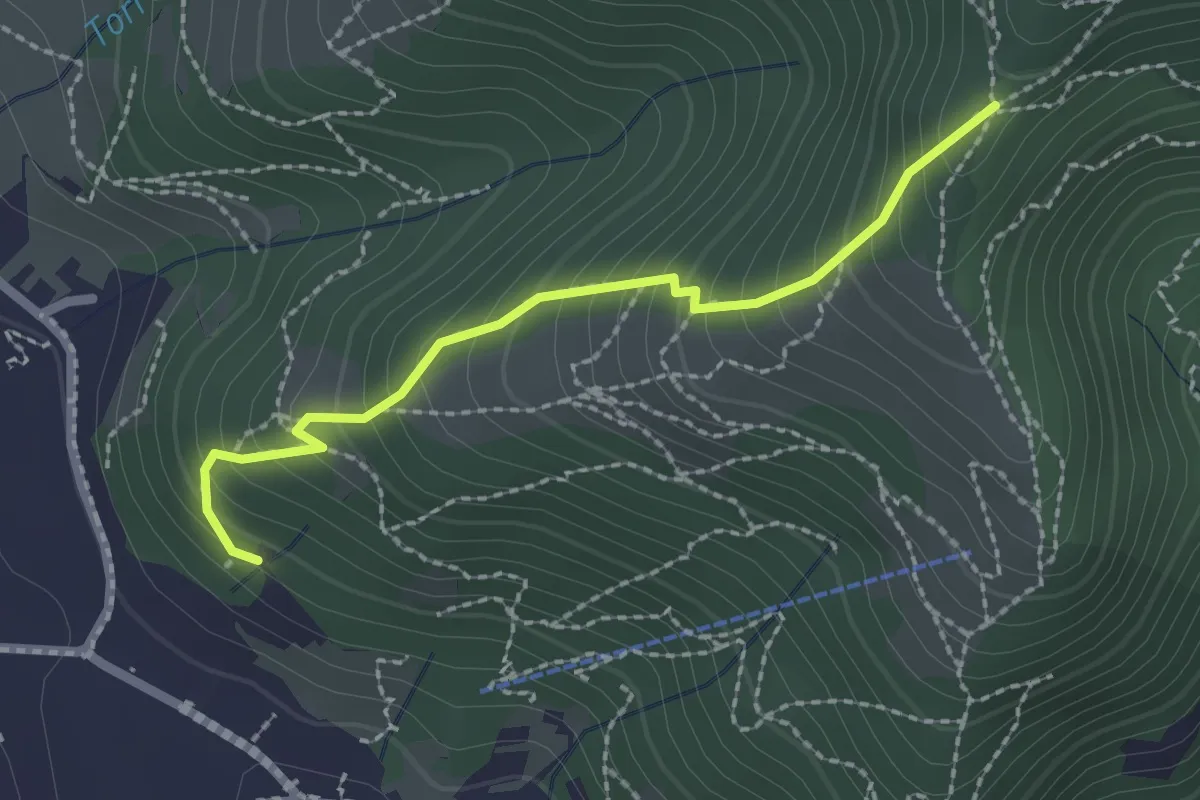
Medium · Trail
Moggio – Acquadela
2.2 km · ↑ 257 m · 1 h 4 min · 7 km away
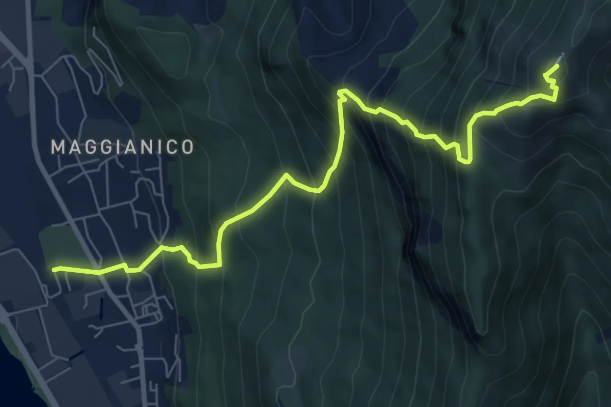
Demanding · Summit
Lecco – Monte Magnodeno
7.2 km · ↑ 1006 m · 3 h 52 min · 7 km away
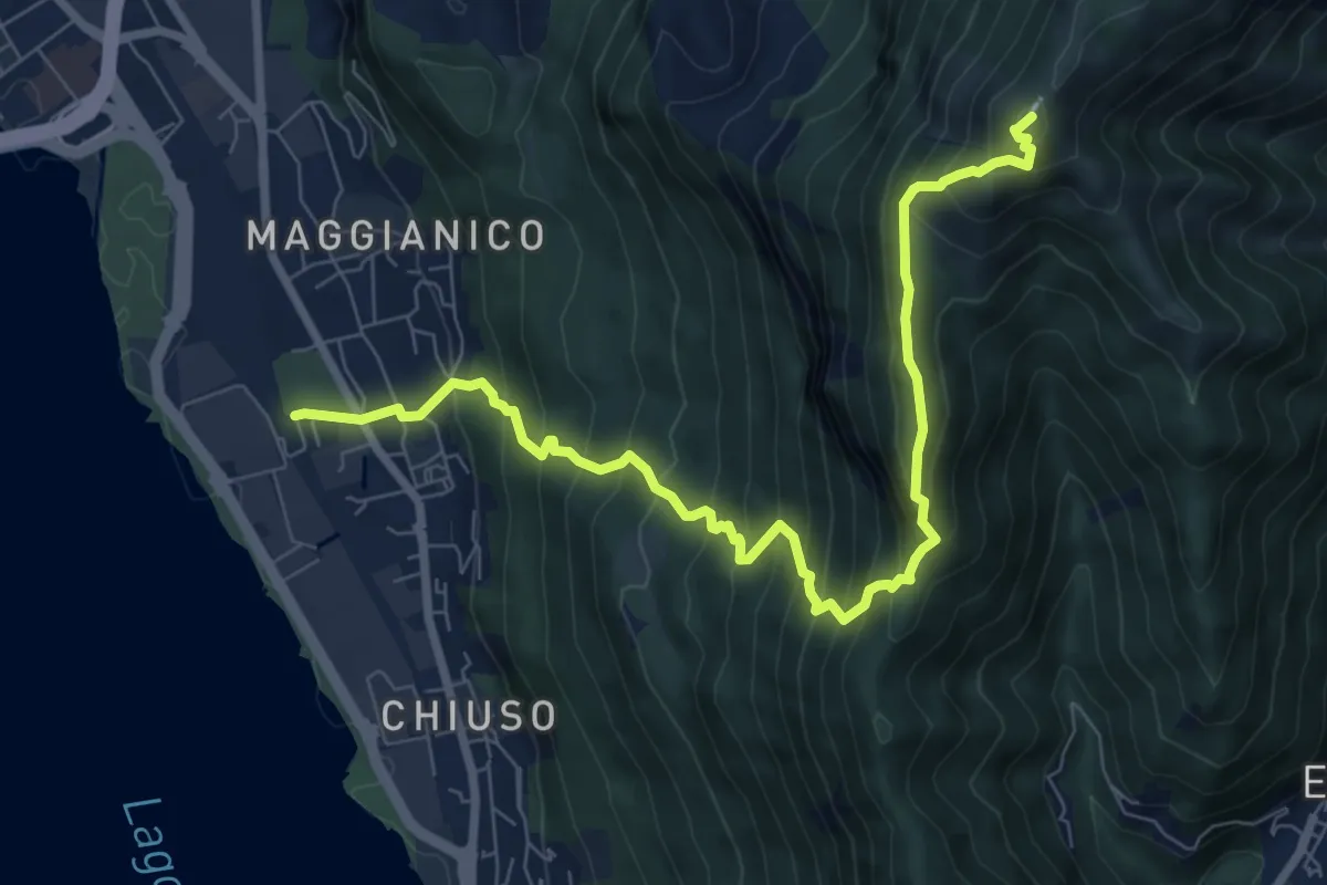
Demanding · Summit
Lecco – Monte Magnodeno
9.1 km · ↑ 992 m · 4 h 18 min · 7 km away
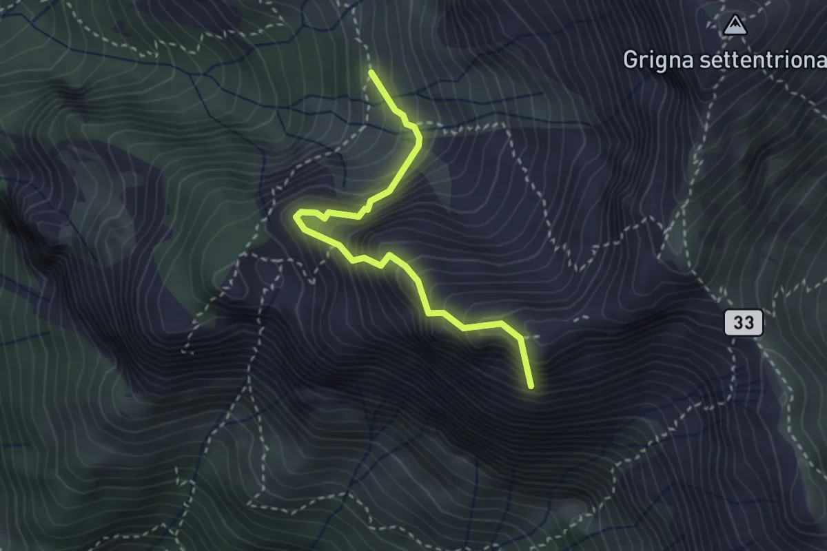
Expert · Summit
Ferrata del Sasso Carbonari
2.9 km · ↑ 483 m · 1 h 44 min · 7 km away
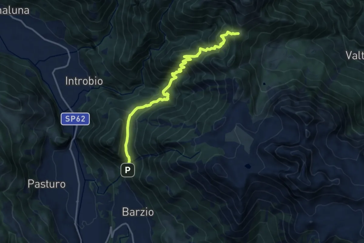
Demanding · Trail
Sentiero 19: Barzio - Passo del Gandazzo
12.2 km · ↑ 1197 m · 5 h 29 min · 7 km away
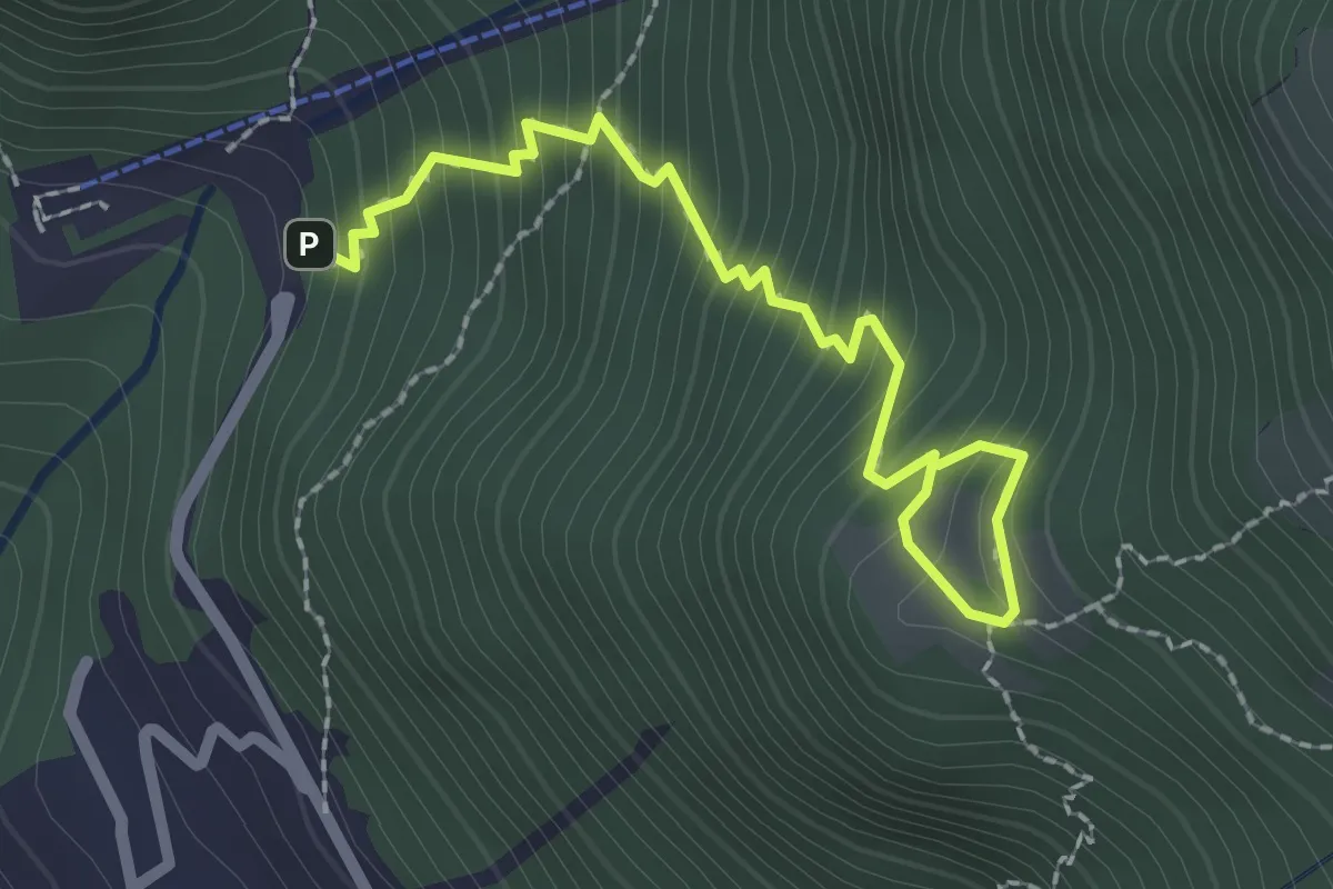
Medium · Trail
La Piazza – Masone
2.5 km · ↑ 294 m · 1 h 13 min · 7 km away
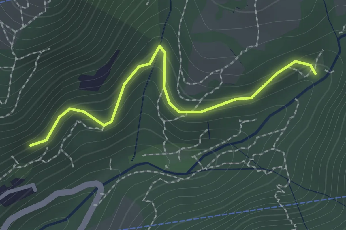
Easy · Trail
Innesto 724 – Pé Gròss
2.0 km · ↑ 162 m · 49 min · 7 km away
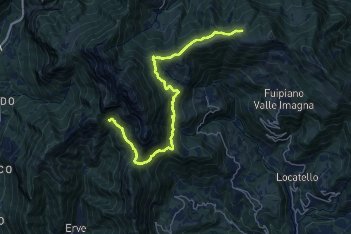
Demanding · Cabin
CamminaForeste - Tappa 9D
18.5 km · ↑ 1177 m · 6 h 55 min · 7 km away
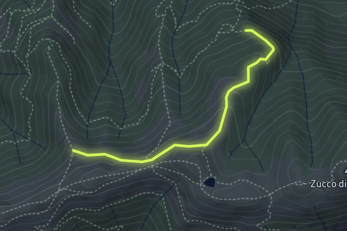
Medium · Trail
Sentiero dei Grandi Alberi - Variante per Alpeggio Costa del Palio e per il Foo di Valmana
3.5 km · ↑ 264 m · 1 h 23 min · 7 km away
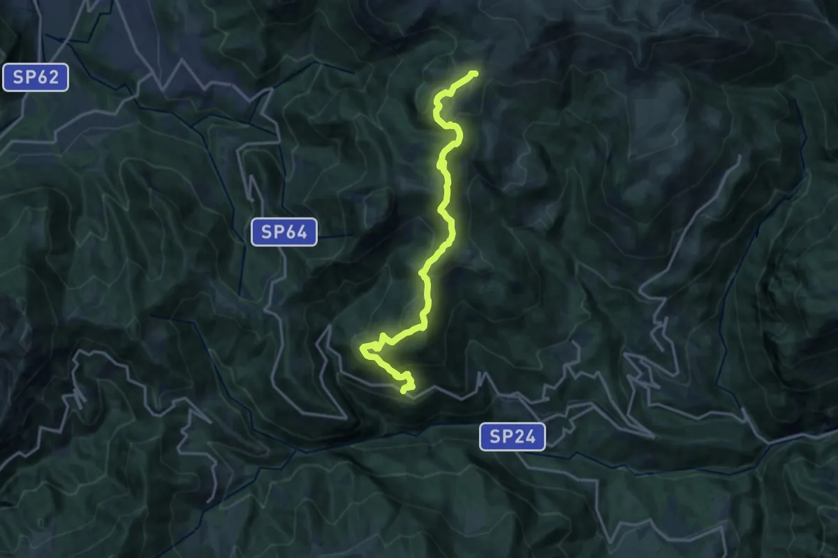
Medium · Trail
Avolasio (Vedeseta) – Piani di Artavaggio
14.8 km · ↑ 756 m · 5 h 8 min · 7 km away
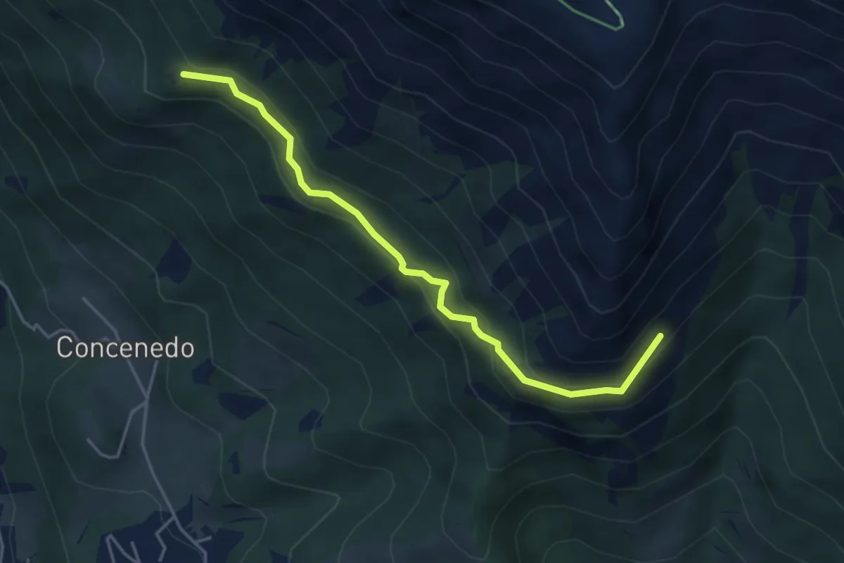
Medium · Trail
Piazza Alta – Baita Pesciola bassa
4.3 km · ↑ 269 m · 1 h 36 min · 7 km away
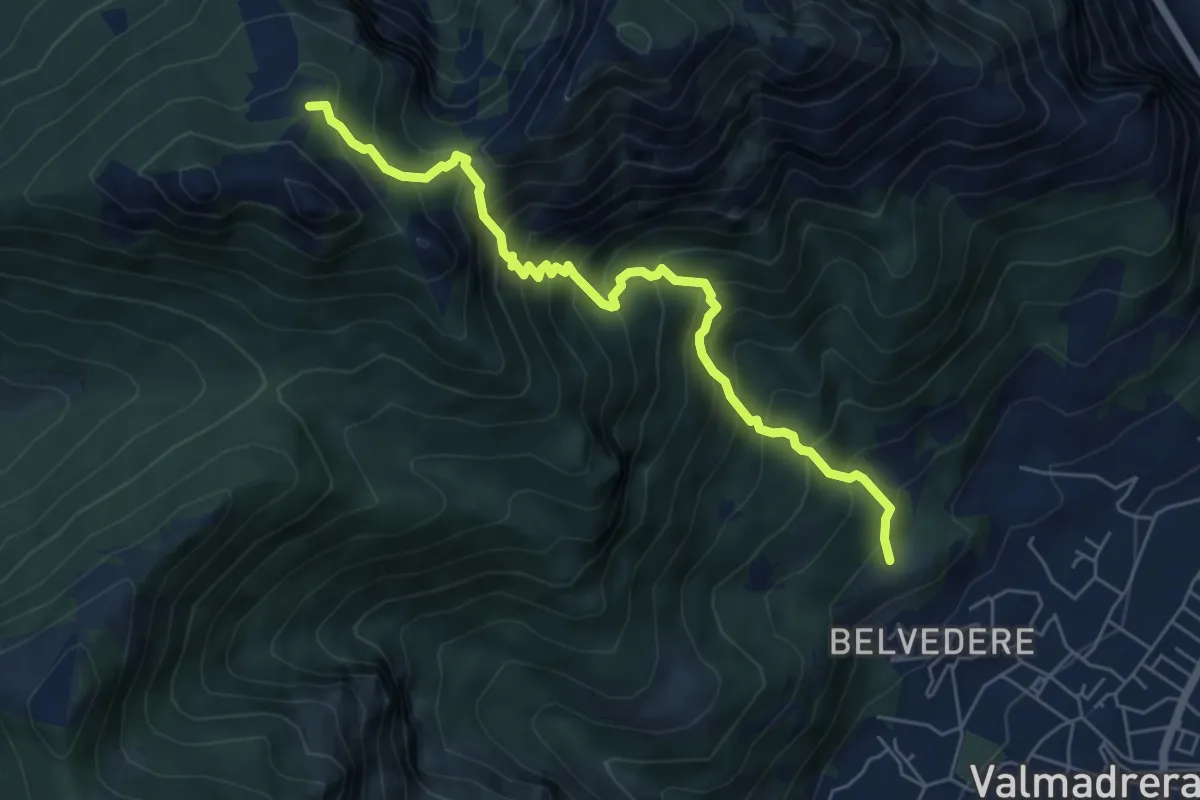
Demanding · Cabin
Cappelletta VARS – Rifugio S.E.V.
6.2 km · ↑ 837 m · 3 h 17 min · 7 km away
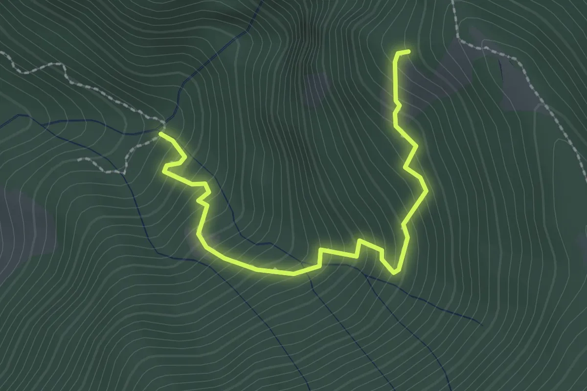
Medium · Trail
Innesto 728 – Innesto SASP58
2.5 km · ↑ 320 m · 1 h 17 min · 7 km away
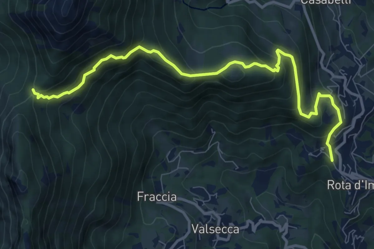
Medium · Trail
Rota d'Imagna – La Passata
9.3 km · ↑ 699 m · 3 h 43 min · 7 km away
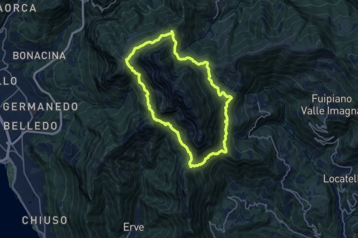
Demanding · Summit
Anello del Resegone
12.8 km · ↑ 1001 m · 5 h 21 min · 7 km away
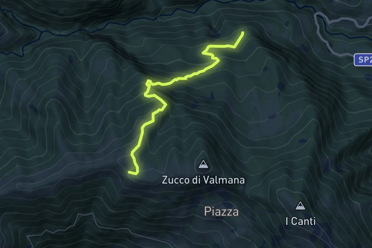
Expert · Trail
Incrocio 569B (Ponte Lavina) – Alpe Costa del Palio
6.6 km · ↑ 579 m · 2 h 49 min · 7 km away
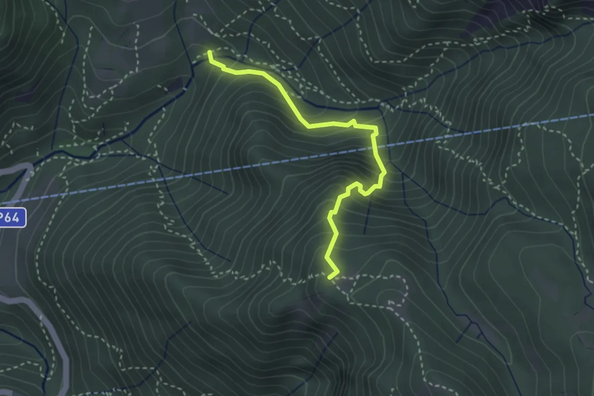
Medium · Trail
Pé Gròss – Prato del Darden basso
2.9 km · ↑ 449 m · 1 h 39 min · 7 km away
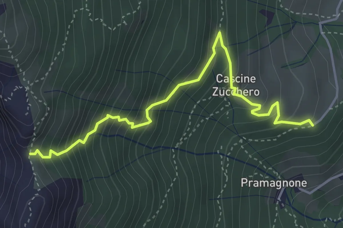
Demanding · Trail
Cascina Zucchero (Brumano) – Cima Piazzo
4.0 km · ↑ 518 m · 2 h 5 min · 8 km away
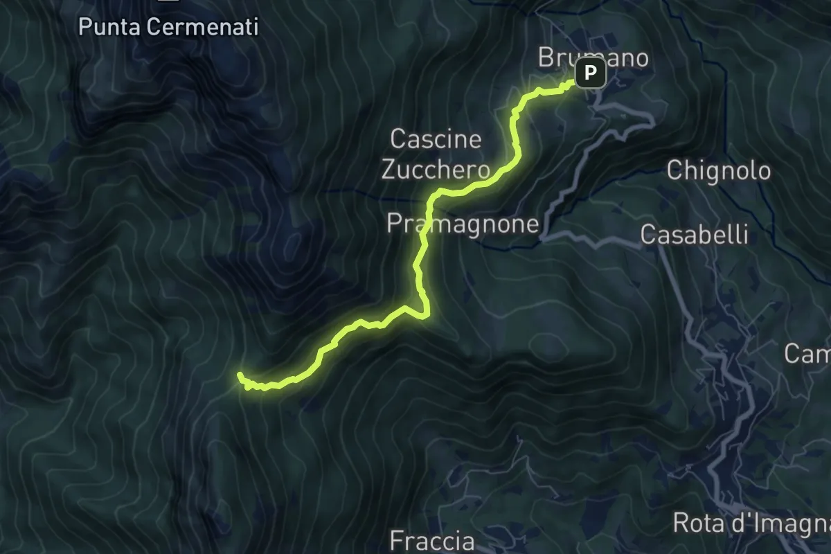
Medium · Trail
Brumano – La Passata
7.1 km · ↑ 520 m · 2 h 49 min · 8 km away
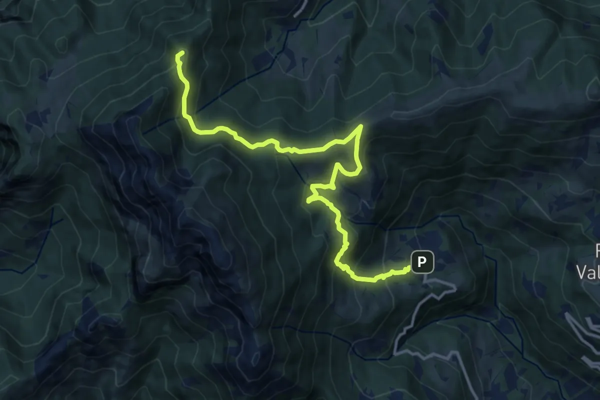
Demanding · Summit
Sentiero dei Laghi Basso - Tappa 1
13.1 km · ↑ 881 m · 5 h · 8 km away
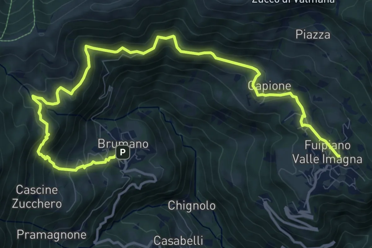
Demanding · Trail
Sentiero dei Laghi Basso- Tappa 2
13.6 km · ↑ 854 m · 5 h 3 min · 8 km away
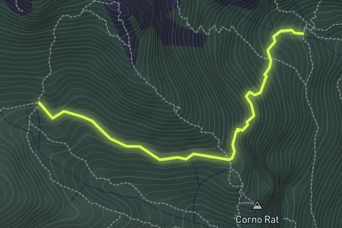
Medium · Trail
Fontanino di Sambrosera – Acqua del Fo'
3.1 km · ↑ 292 m · 1 h 22 min · 8 km away
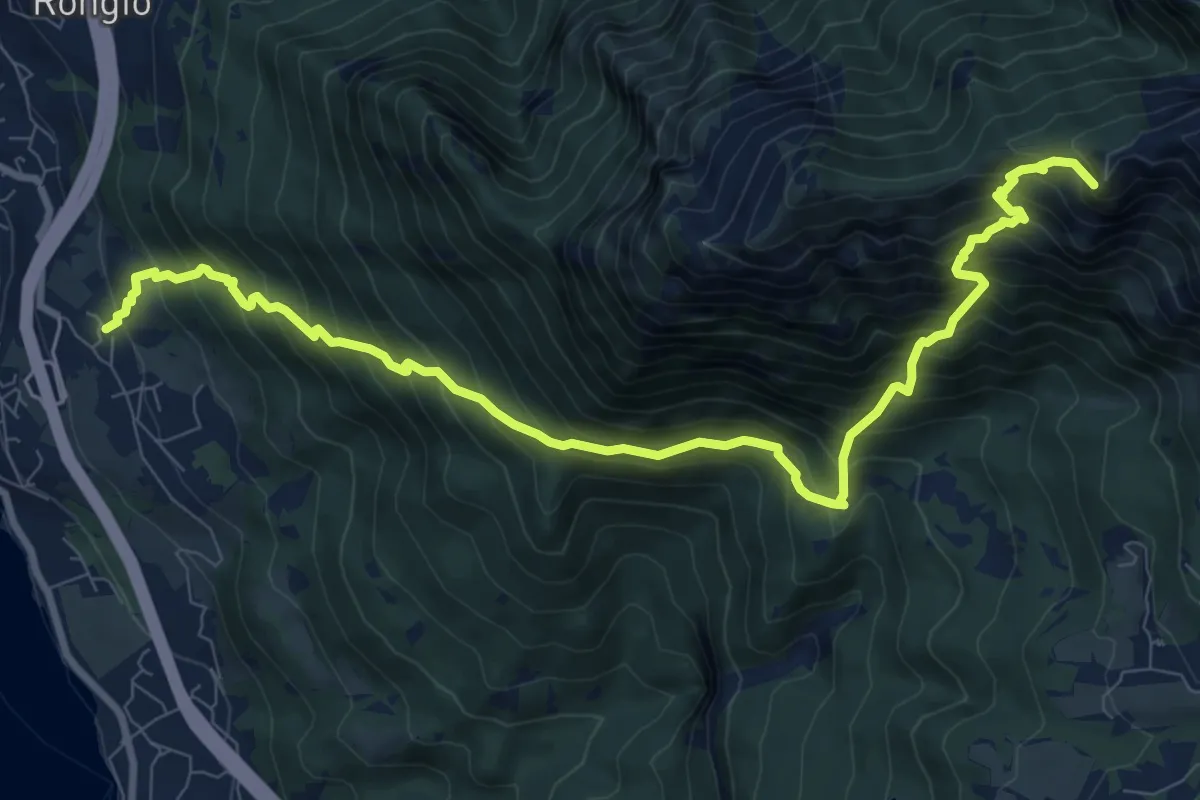
Demanding · Summit
Maggiana or Rongio – Rifugio Rosalba
11.2 km · ↑ 1434 m · 5 h 45 min · 8 km away