Trails near Ballabio
379 hikes starting within 15 km, nearest first.
Nearest first, page 4 of 8
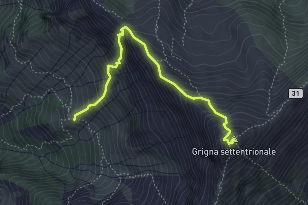
Demanding · Summit
Via Guzzi
4.3 km · ↑ 677 m · 2 h 29 min · 8 km away
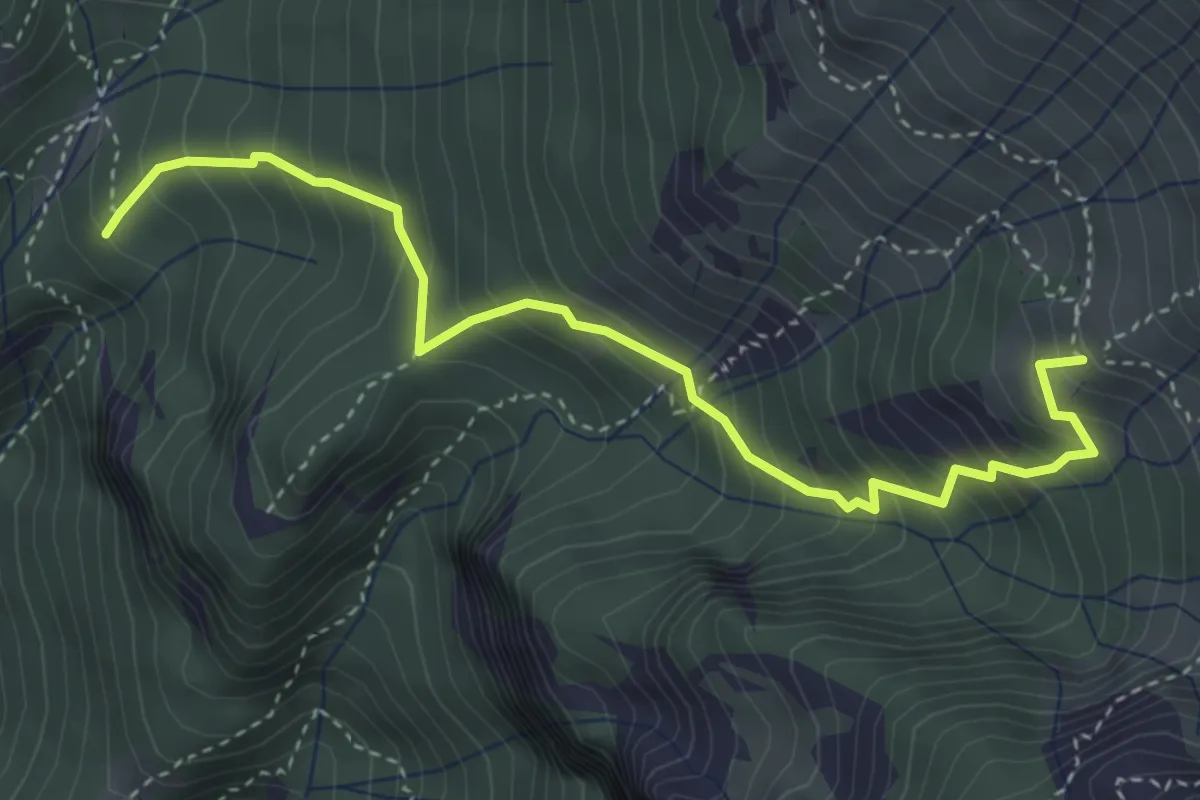
Medium · Summit
Alpe Calivazzo – Rifugio Bietti
4.1 km · ↑ 544 m · 2 h 9 min · 8 km away
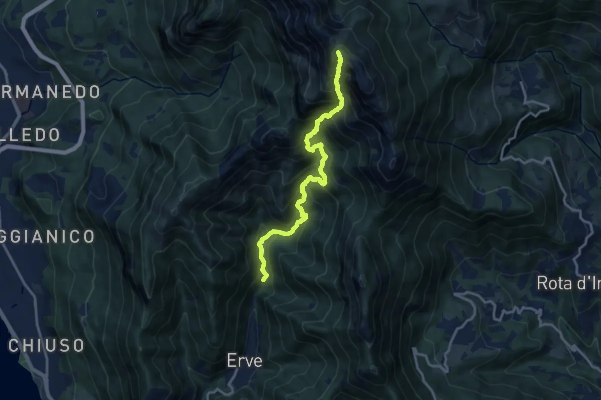
Expert · Summit
Erve – Rifugio Azzoni
9.6 km · ↑ 1242 m · 4 h 57 min · 8 km away
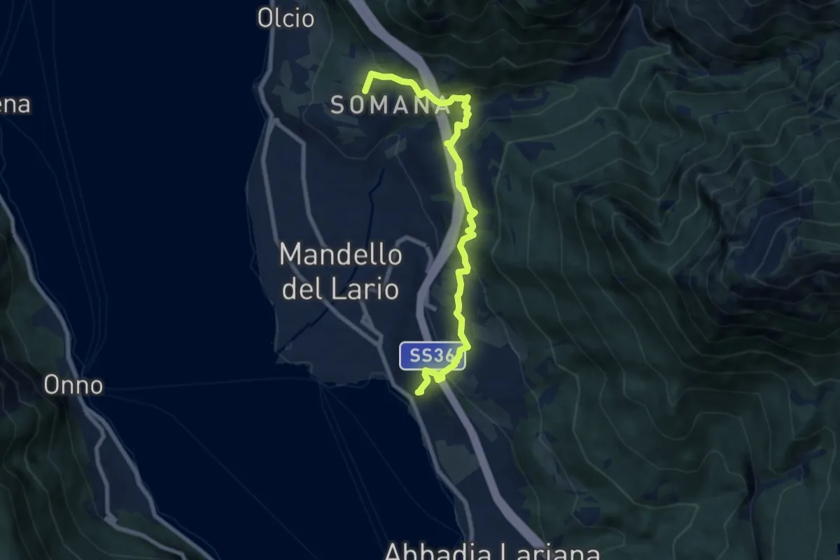
Medium · Summit
Sentiero del Viandante (Mandello del Lario - Lierna)
8.0 km · ↑ 430 m · 2 h 50 min · 8 km away
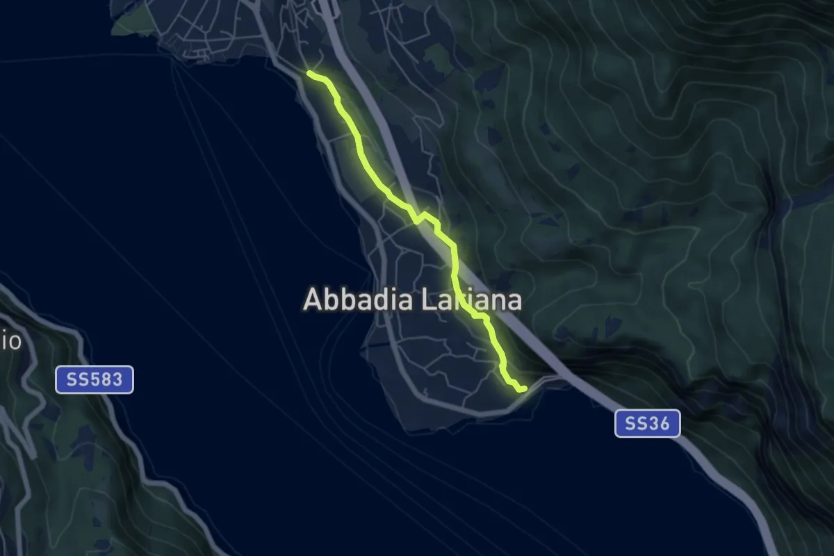
Easy · Trail
Sentiero del Viandante (Abbadia Lariana - Mandello del Lario)
4.6 km · ↑ 124 m · 1 h 22 min · 8 km away
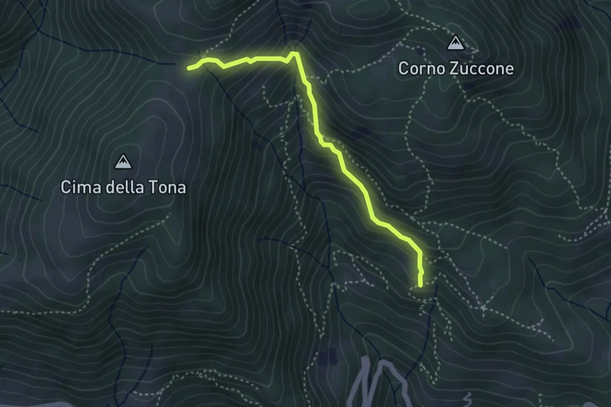
Medium · Trail
Baita Zucai (incrocio 152A) – Passo della Sella
3.5 km · ↑ 363 m · 1 h 36 min · 8 km away
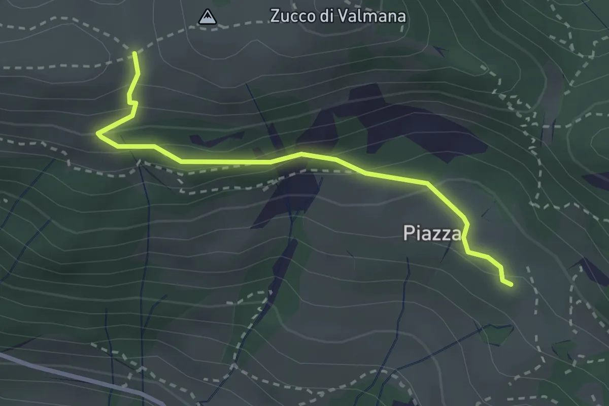
Easy · Trail
Fuipiano – Forcella di Valmana
2.6 km · ↑ 183 m · 1 h 1 min · 8 km away
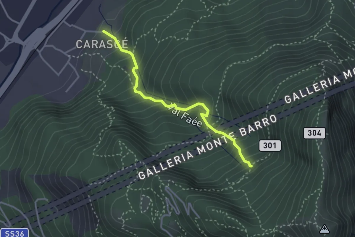
Medium · Trail
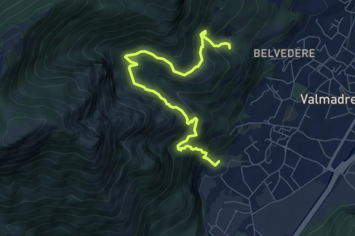
Carascé – Faée Alto
2.9 km · ↑ 388 m · 1 h 31 min · 8 km away
Demanding · Trail
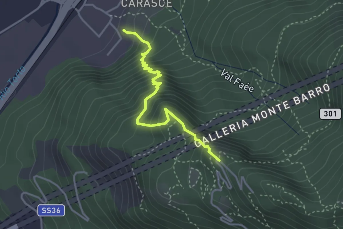
Il percorso dei massi erratici
3.7 km · ↑ 263 m · 1 h 35 min · 8 km away
Medium · Trail
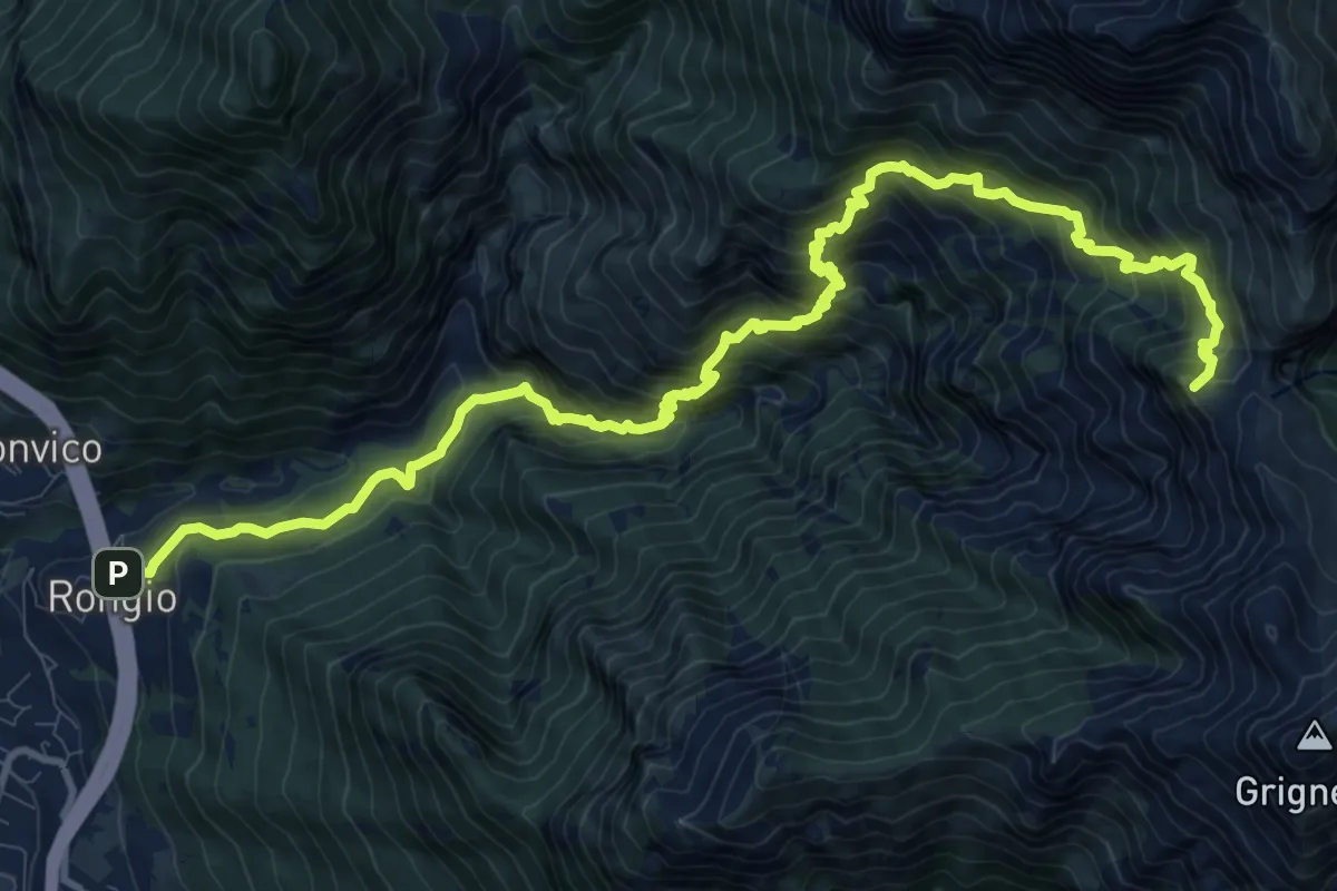
Valmadrera (fornaci Villa) – Culcinera
3.1 km · ↑ 428 m · 1 h 40 min · 8 km away
Demanding · Summit
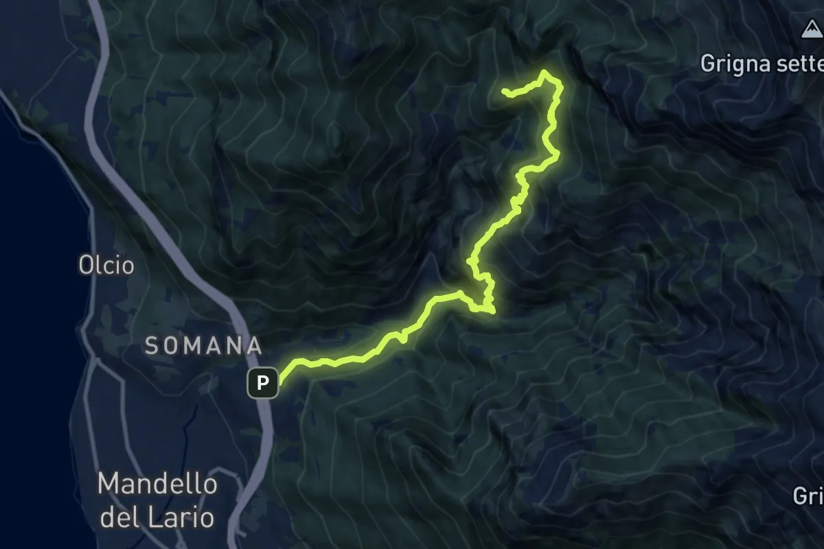
Rongio – Buco di Grigna
14.8 km · ↑ 1871 m · 7 h 33 min · 8 km away
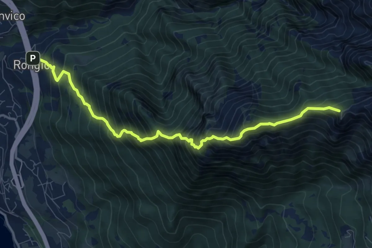
Demanding · Trail
Rongio – Alpe Cetra
12.0 km · ↑ 1353 m · 5 h 46 min · 8 km away
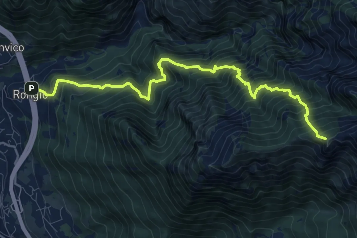
Demanding · Summit
Rongio – Rifugio Rosalba
9.7 km · ↑ 1345 m · 5 h 13 min · 8 km away
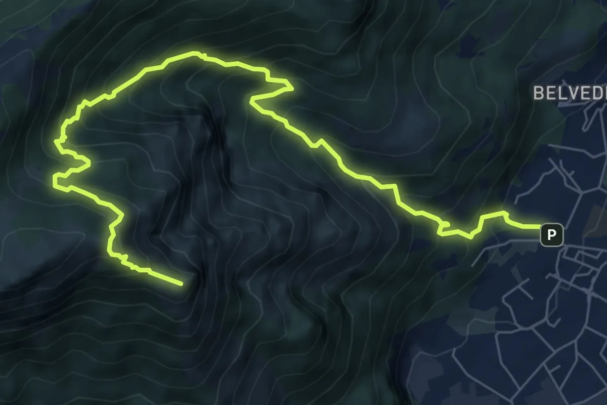
Demanding · Summit
Rongio – Rifugio Rosalba
11.2 km · ↑ 1537 m · 5 h 58 min · 8 km away
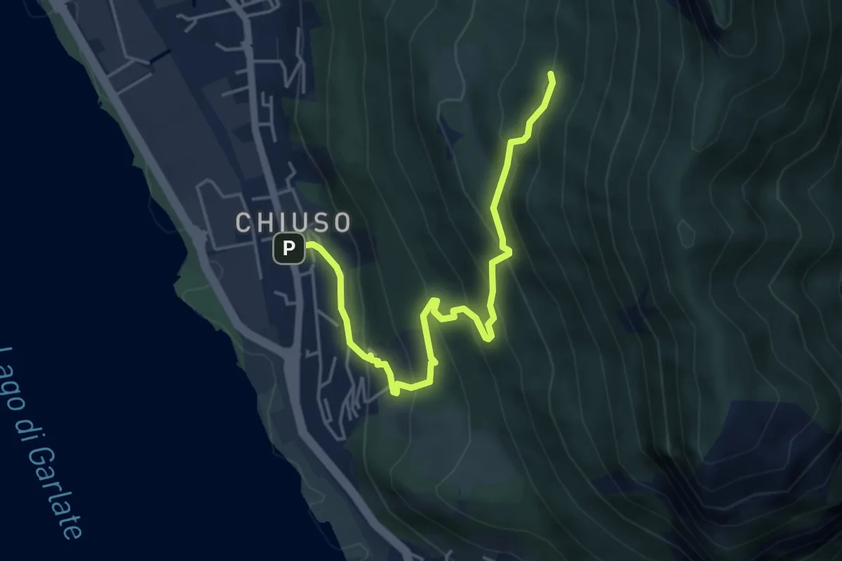
Expert · Summit
Caserta – Corno Birone
9.3 km · ↑ 1043 m · 4 h 28 min · 8 km away
Medium · Cabin
Chiuso – Rifugio Camposecco
4.8 km · ↑ 430 m · 2 h 4 min · 8 km away
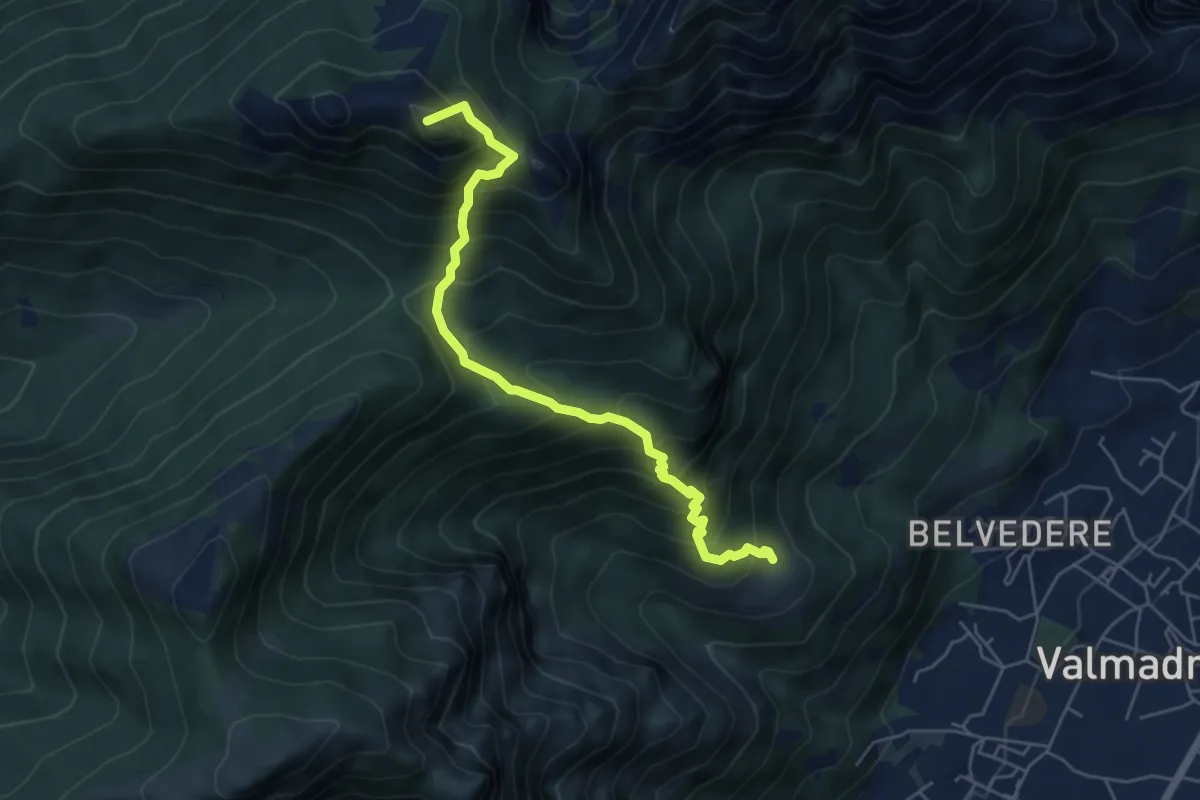
Medium · Summit
San Tomaso – Rifugio S.E.V.
5.6 km · ↑ 734 m · 2 h 55 min · 8 km away
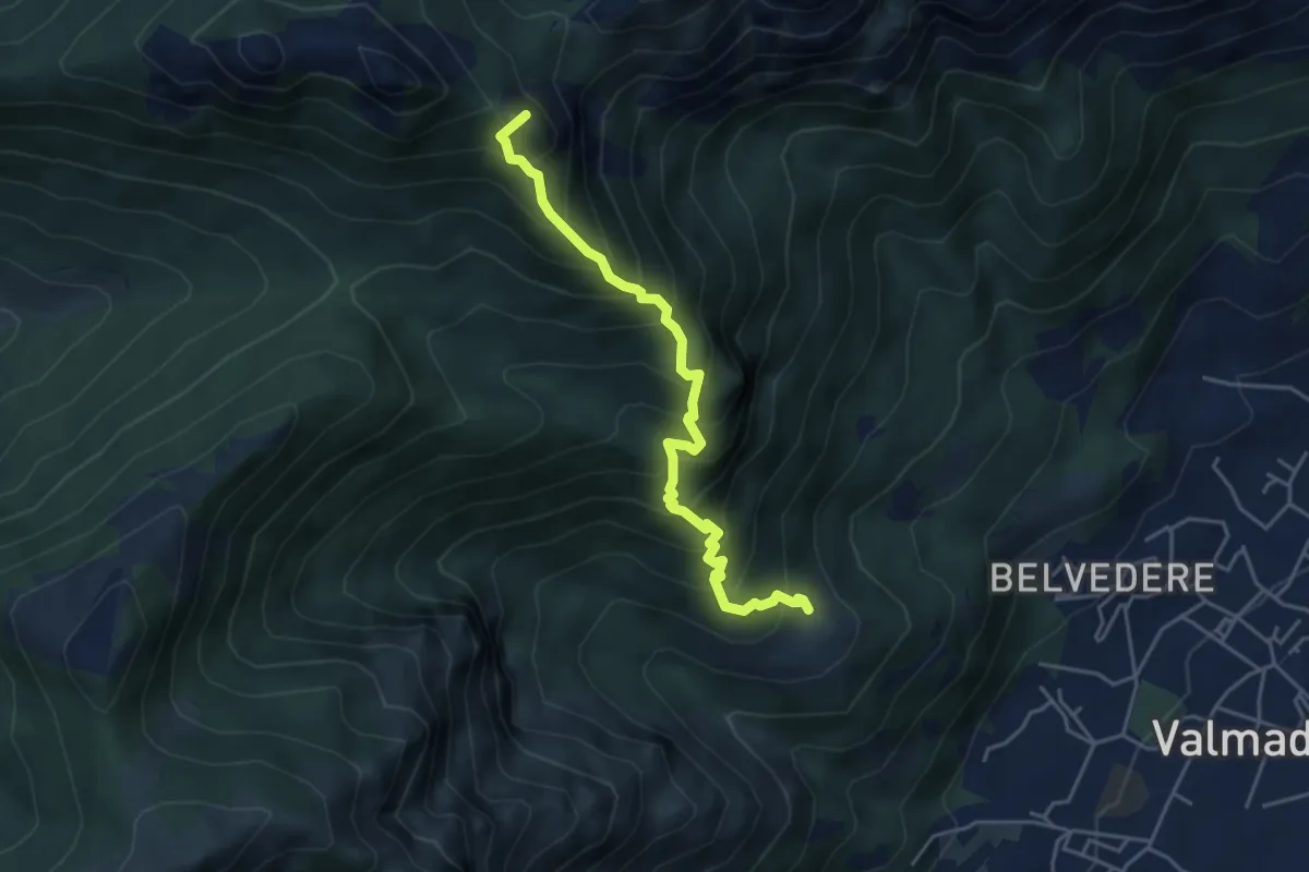
Expert · Summit
San Tomaso – Bocchetta di Luera
4.5 km · ↑ 629 m · 2 h 26 min · 8 km away
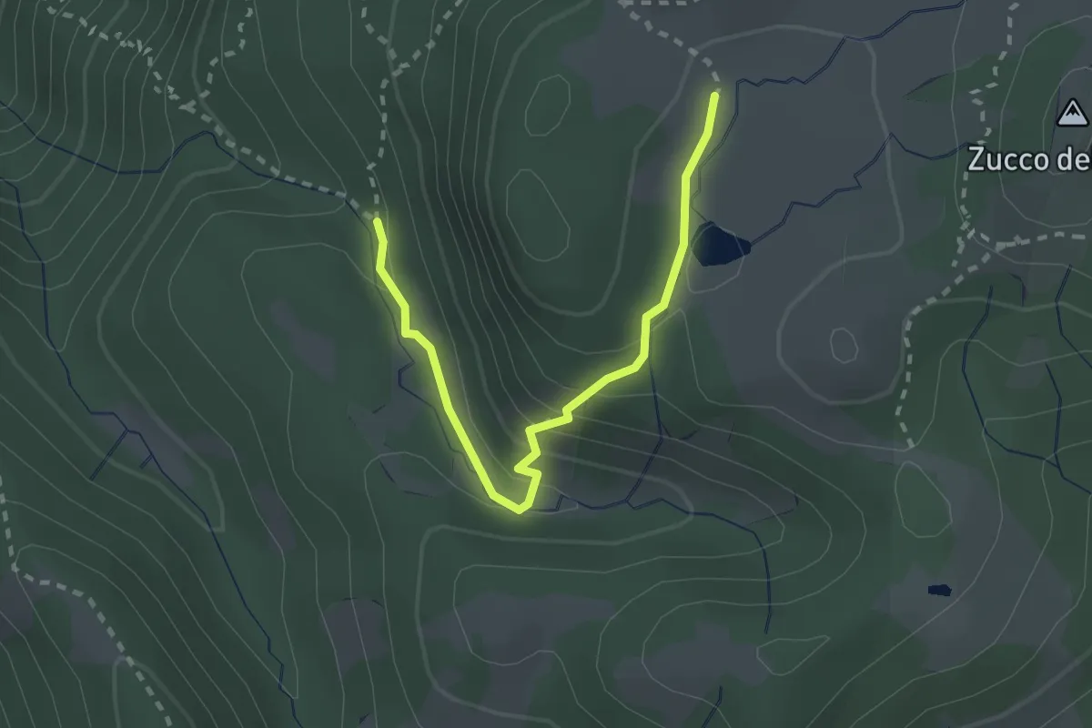
Medium · Cabin
Innesto 726 – Ca' Rovellasca
2.5 km · ↑ 138 m · 53 min · 8 km away
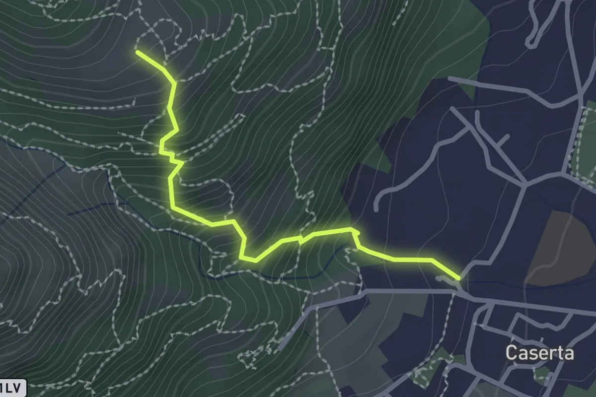
Demanding · Trail
Caserta – San Tomaso
2.2 km · ↑ 312 m · 1 h 12 min · 8 km away
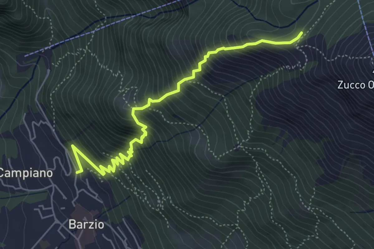
Medium · Trail
Robiasca – Albergo Pequeno
5.6 km · ↑ 800 m · 3 h 4 min · 8 km away
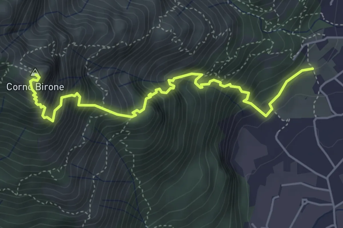
Demanding · Summit
Sentiero Lucio Vassena
5.0 km · ↑ 898 m · 3 h 7 min · 8 km away
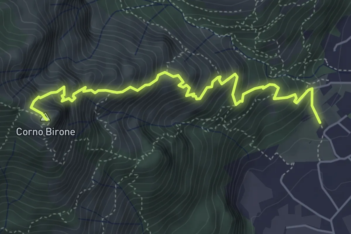
Expert · Summit
Sentiero Dario e William
5.4 km · ↑ 872 m · 3 h 10 min · 8 km away
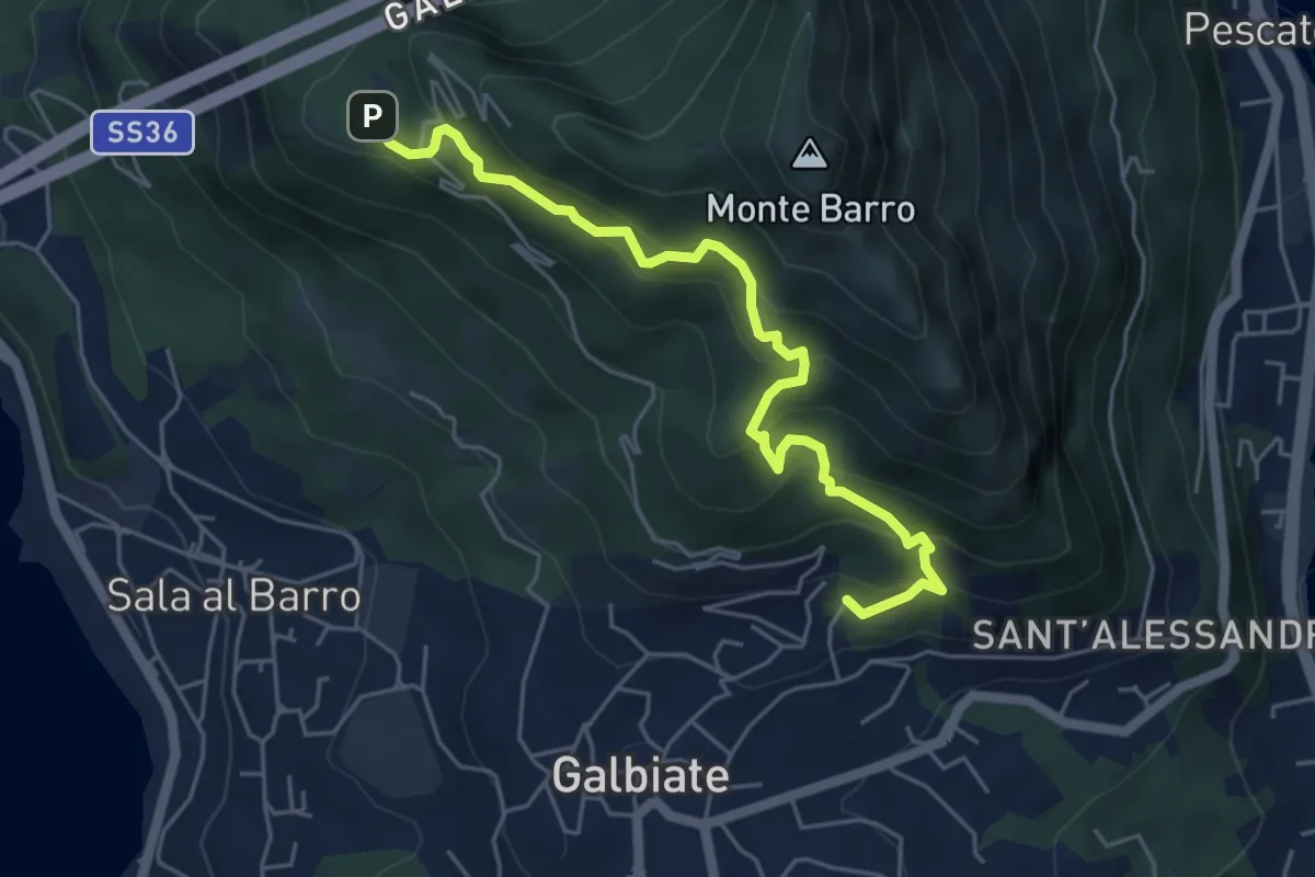
Medium · Trail
Galbiate – Parco archeologico Monte Barro
5.6 km · ↑ 521 m · 2 h 27 min · 8 km away
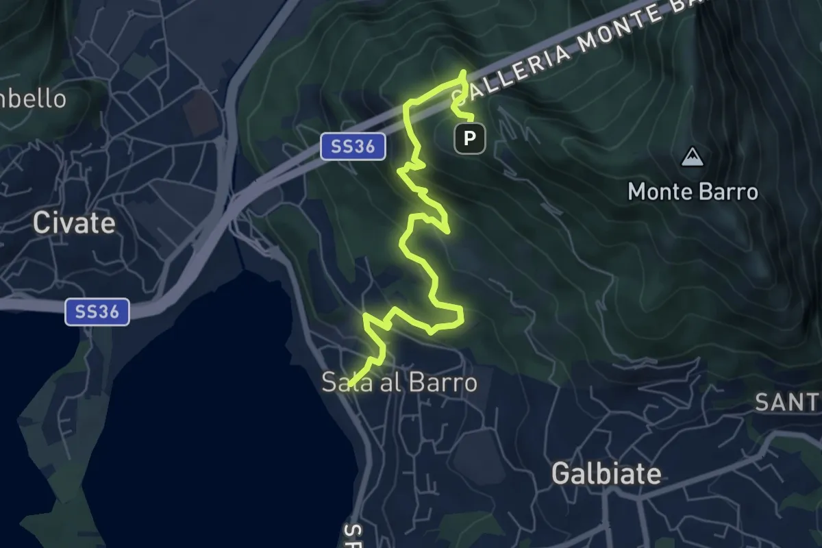
Medium · Trail
Sala al Barro (FS) – Parco archeologico Monte Barro
6.9 km · ↑ 476 m · 2 h 40 min · 8 km away
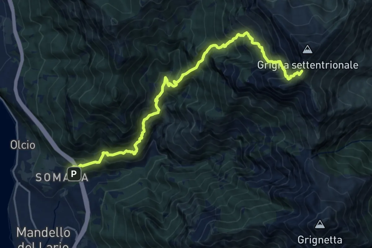
Demanding · Trail
Somana – Grignone
8.2 km · ↑ 2058 m · 5 h 35 min · 8 km away
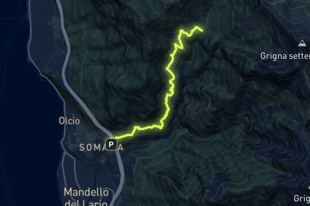
Demanding · Summit
Somana – Bocchetta di Prada
12.0 km · ↑ 1371 m · 5 h 48 min · 8 km away
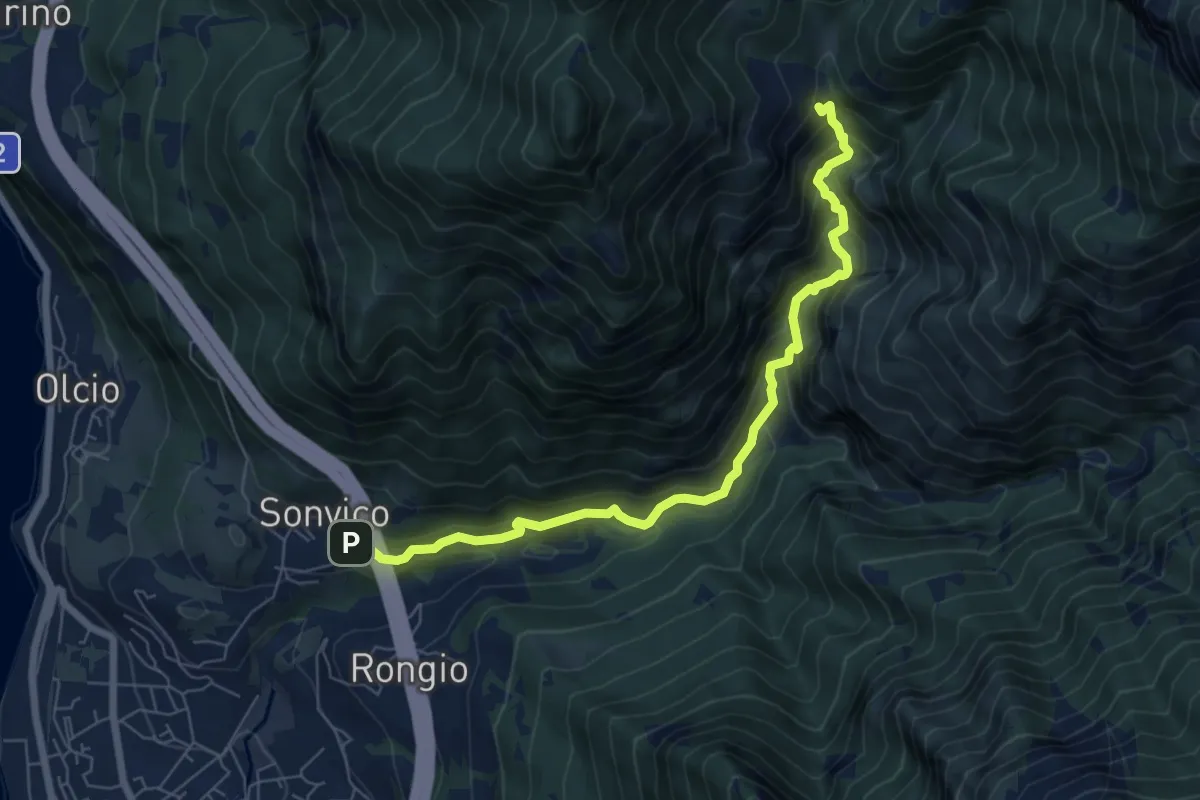
Expert · Trail
Sentiero del Fiume
7.2 km · ↑ 617 m · 3 h 2 min · 8 km away
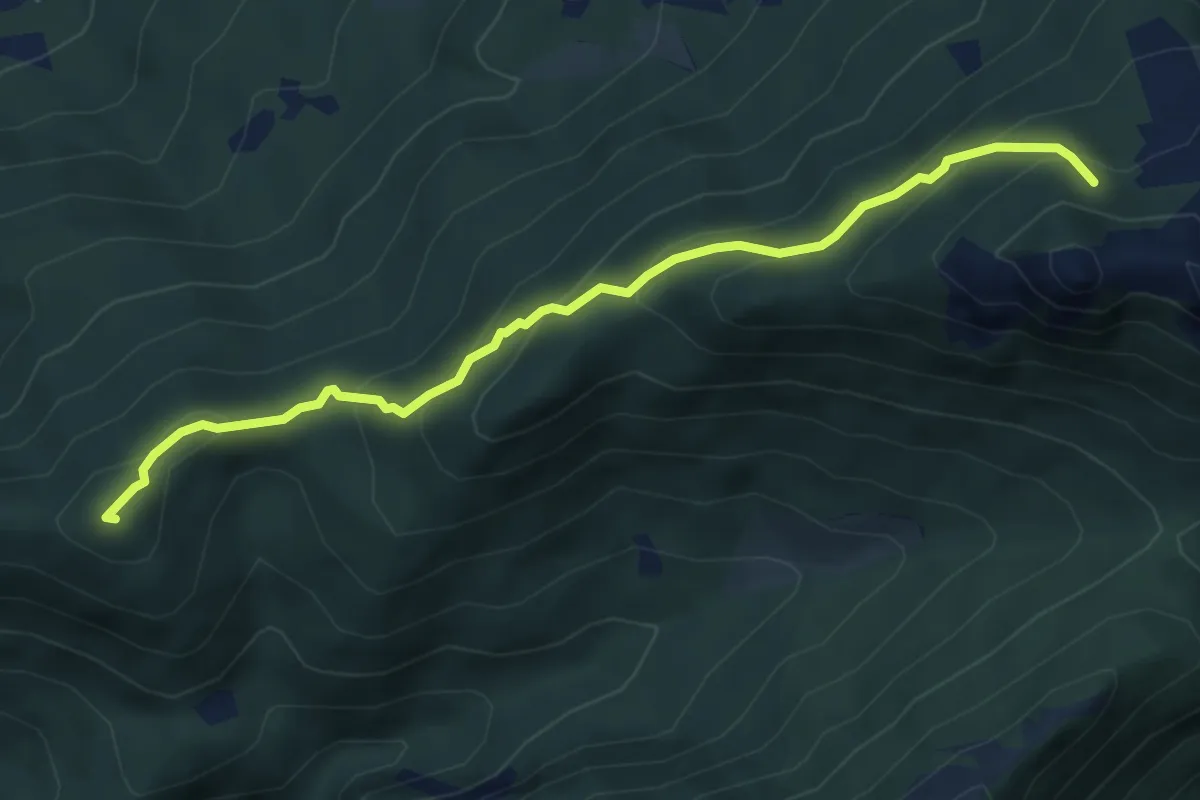
Medium · Summit
Visino (Valbrona) – Rifugio SEV
5.5 km · ↑ 406 m · 2 h 11 min · 9 km away
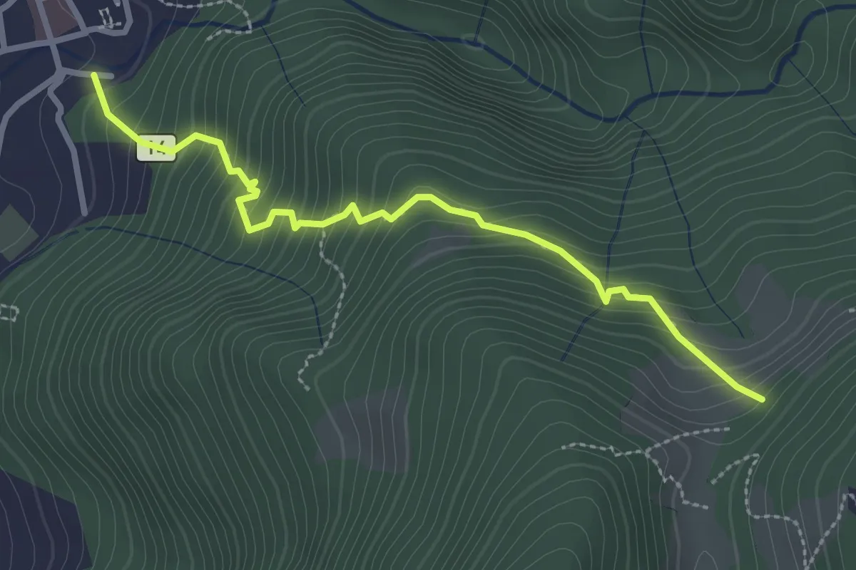
Medium · Trail
Sentiero 14: Introbio - Passo di Nava
2.9 km · ↑ 356 m · 1 h 27 min · 9 km away
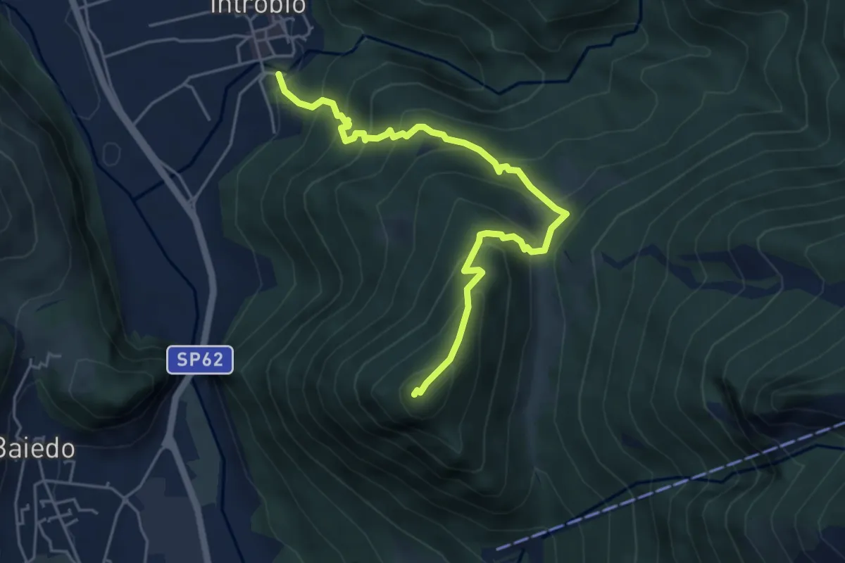
Medium · Summit
Sentiero 14A: Introbio - Zucco Angelone
5.2 km · ↑ 554 m · 2 h 26 min · 9 km away
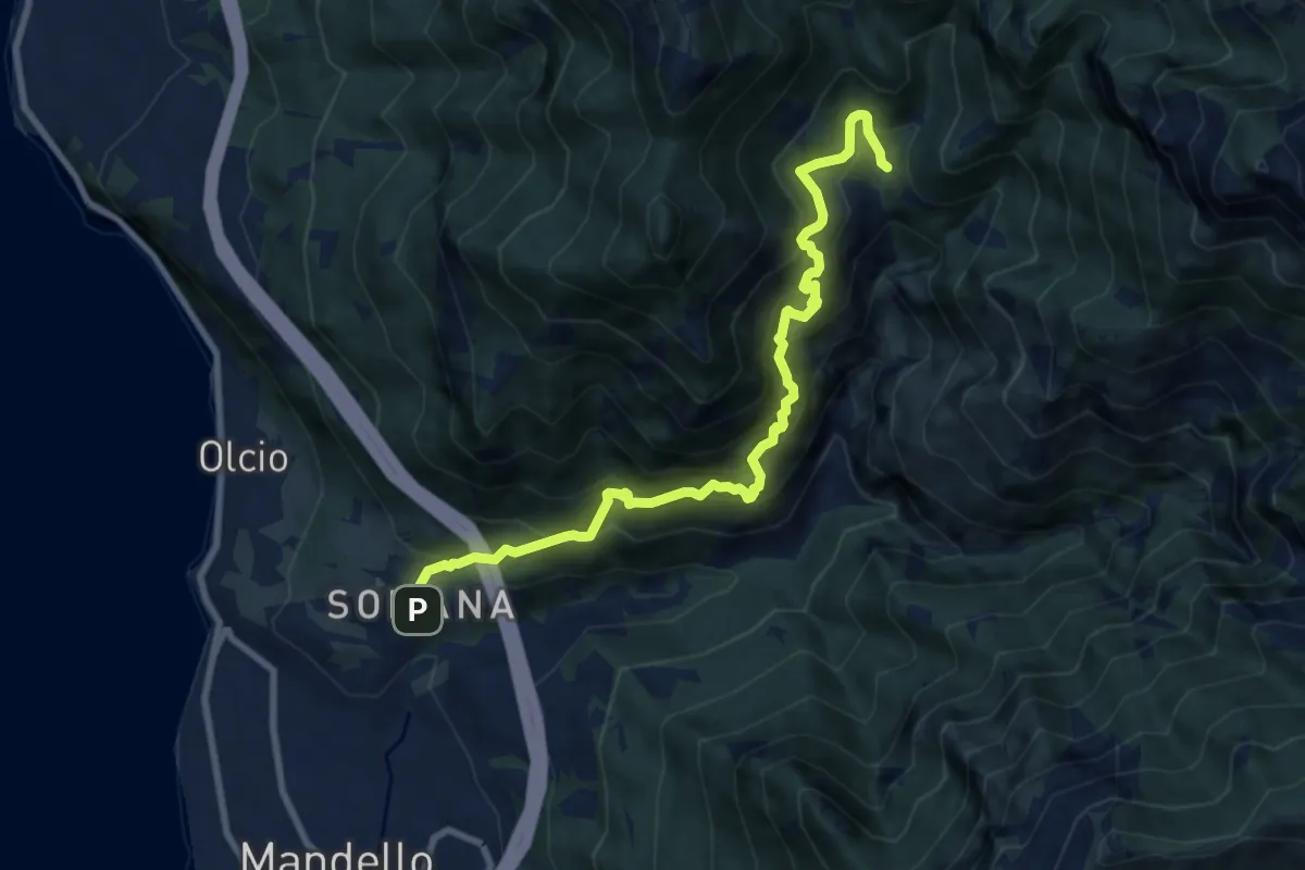
Demanding · Trail
Somana-Mandello – Rifugio Bietti Buzzi
9.3 km · ↑ 1082 m · 4 h 33 min · 9 km away
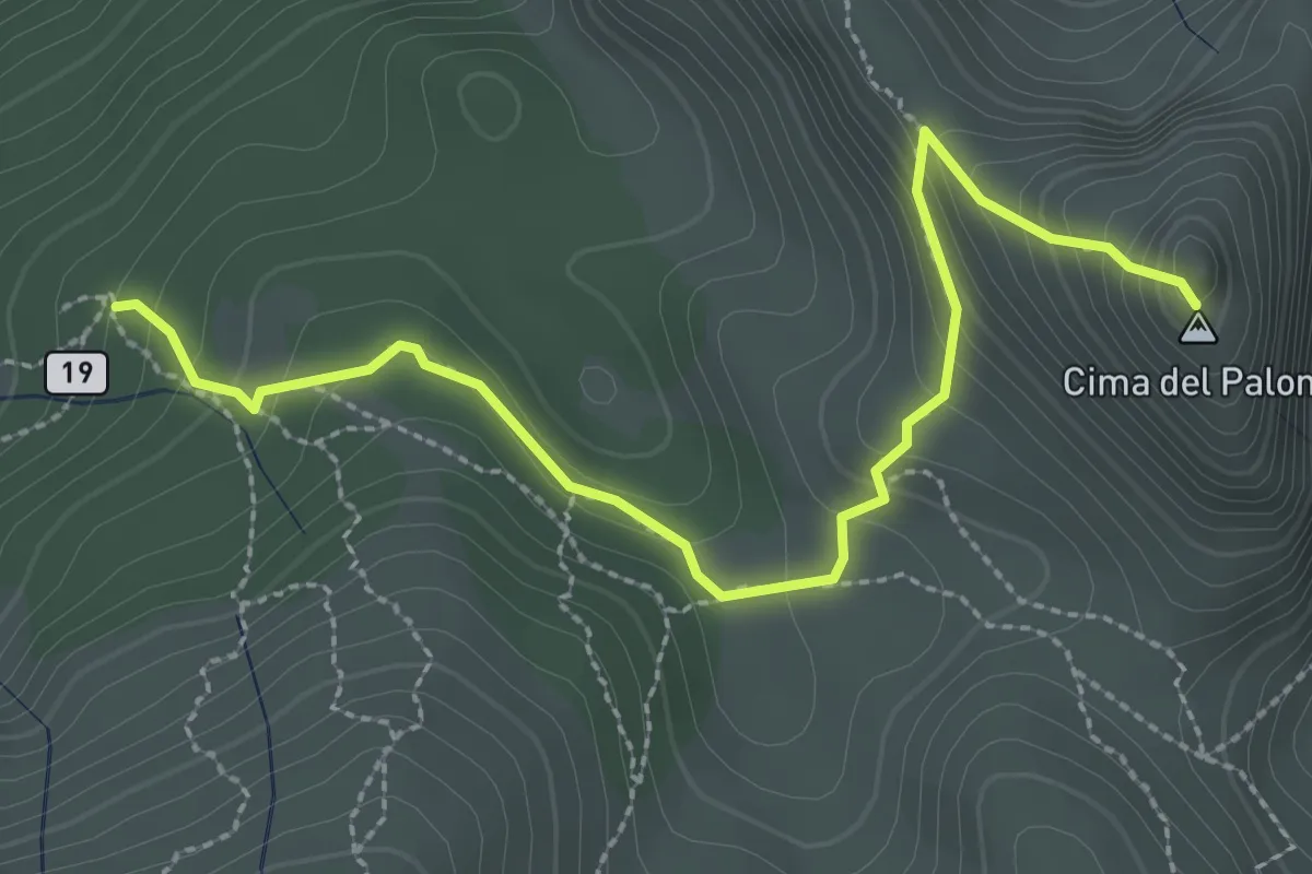
Expert · Summit
Palone Vallori
3.0 km · ↑ 231 m · 1 h 13 min · 9 km away
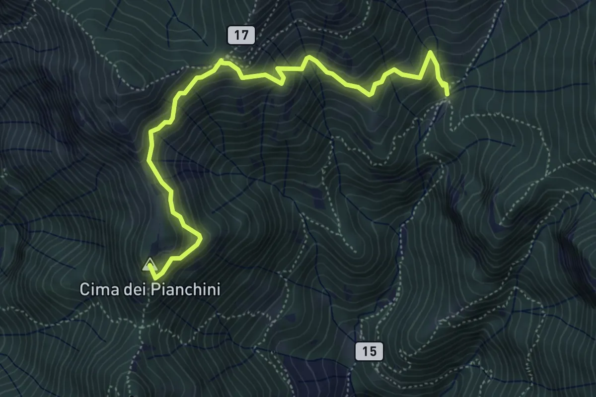
Medium · Summit
Somana – Alpe di Calivazzo
5.8 km · ↑ 549 m · 2 h 34 min · 9 km away
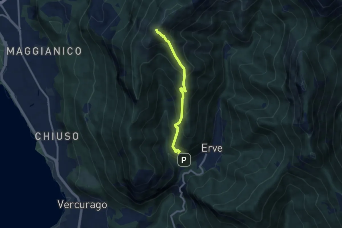
Medium · Summit
Erve – Monte Magnodeno
5.6 km · ↑ 626 m · 2 h 41 min · 9 km away
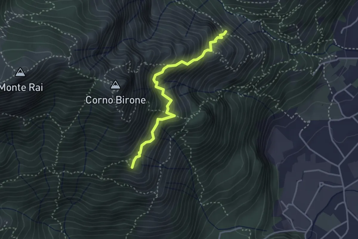
Demanding · Summit
Sentiero del Luisin
3.1 km · ↑ 489 m · 1 h 48 min · 9 km away
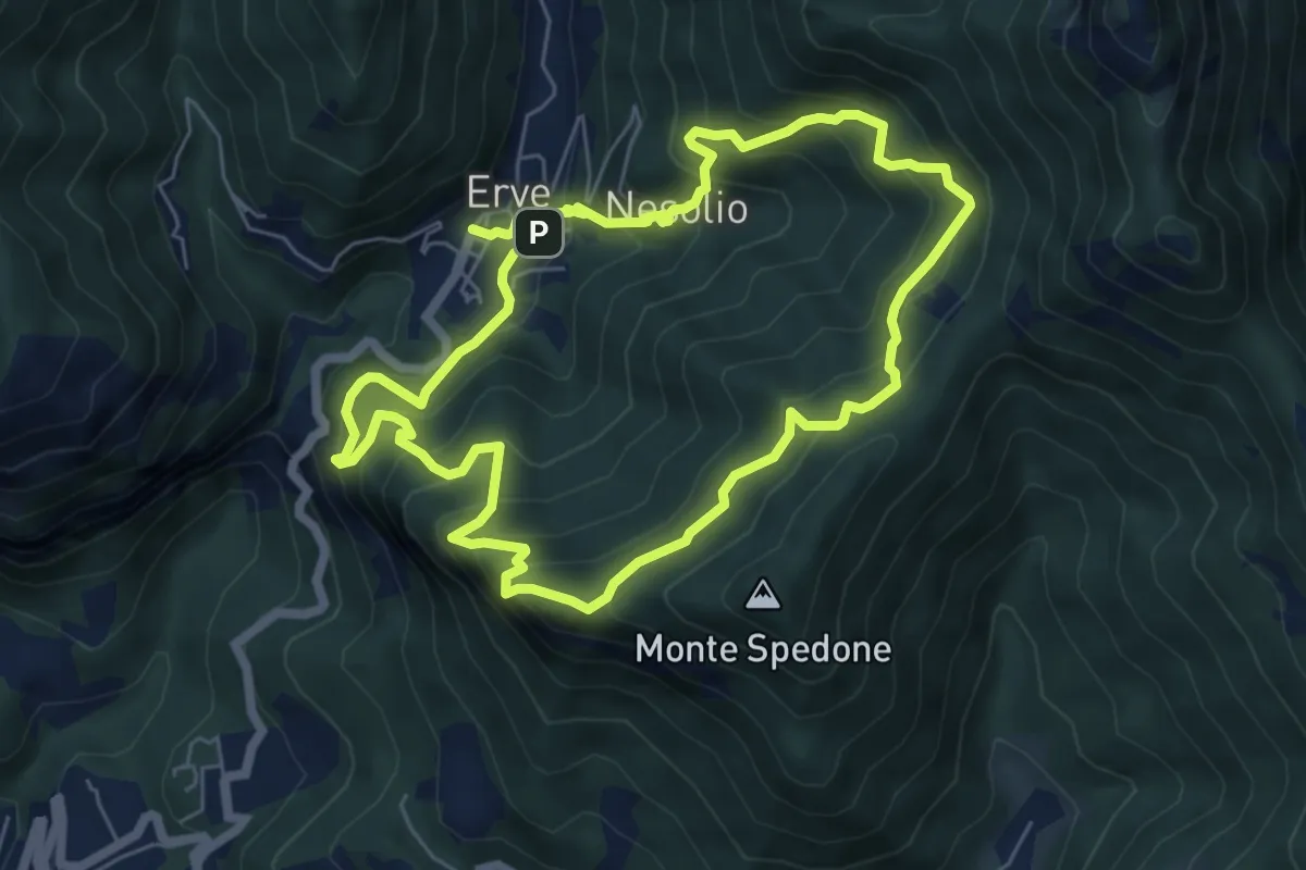
Demanding · Trail
Erve – Erve
6.1 km · ↑ 678 m · 3 h · 9 km away
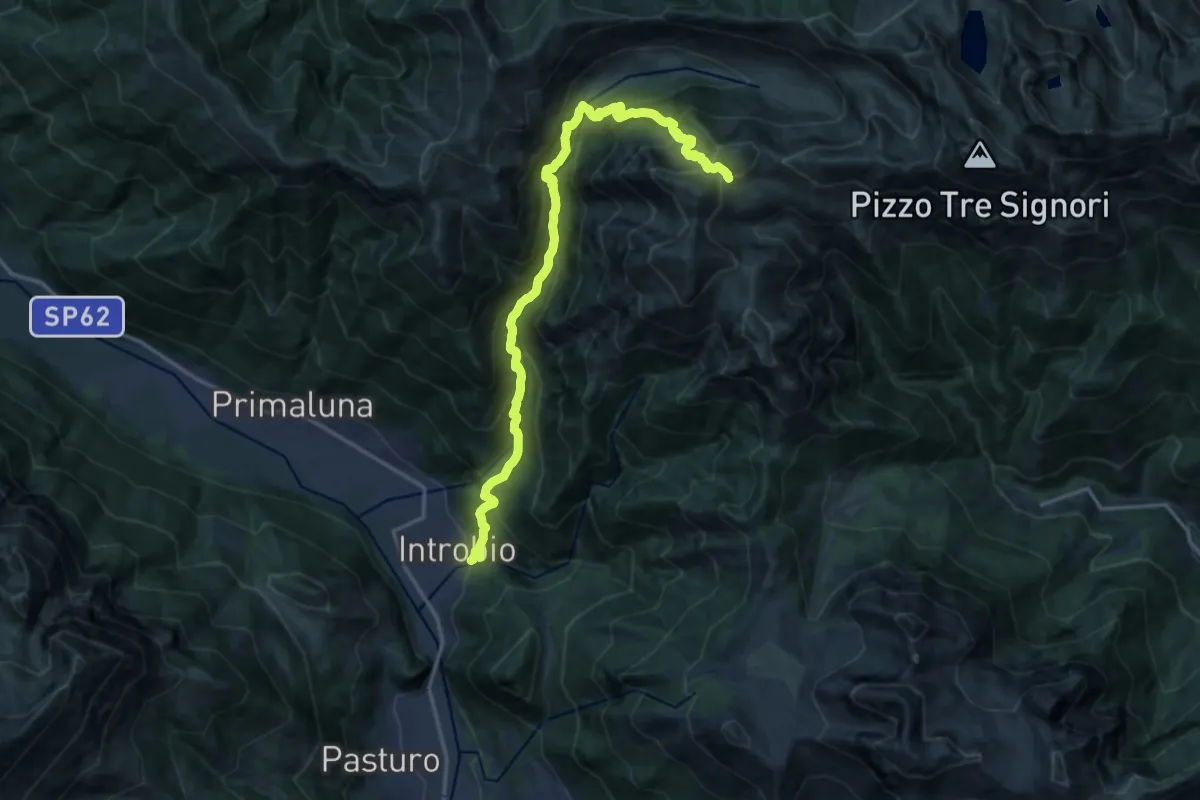
Demanding · Cabin
Introbio – Rifugio Grassi
17.7 km · ↑ 1540 m · 7 h 31 min · 9 km away
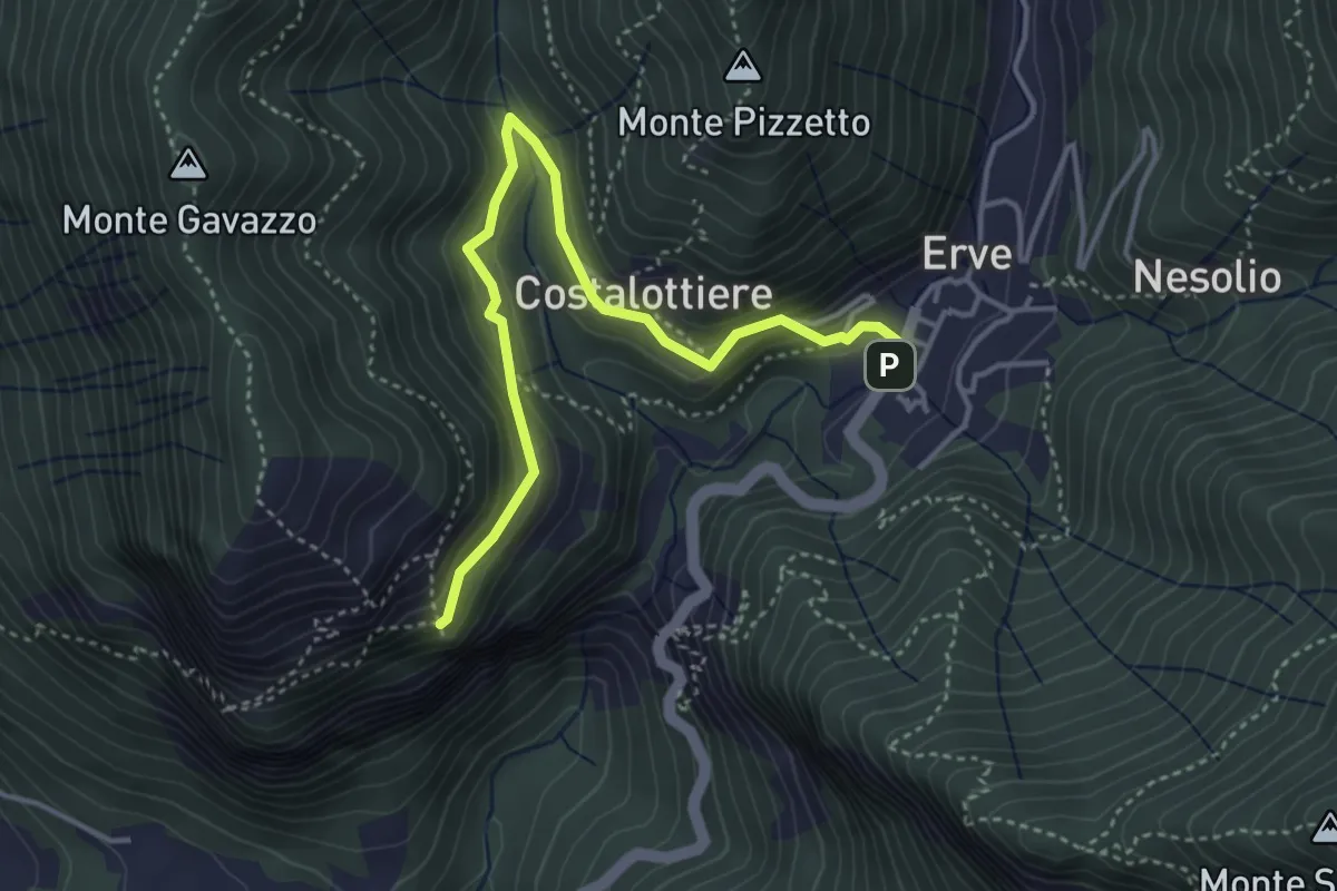
Easy · Trail
Erve – Croce di Vicerola
4.2 km · ↑ 219 m · 1 h 28 min · 9 km away
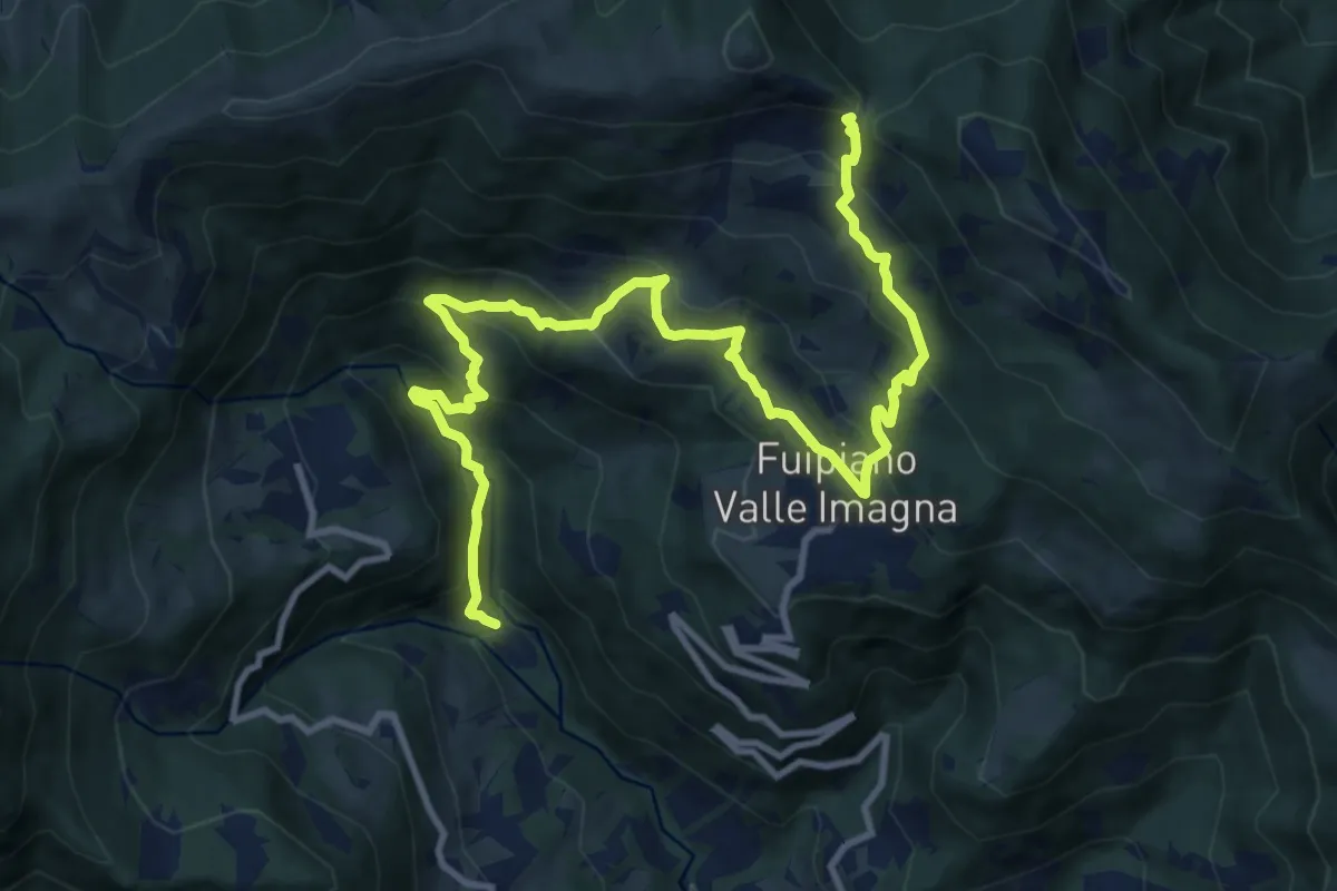
Demanding · Trail
Chignolo – Bocca del Grassello
13.5 km · ↑ 994 m · 5 h 21 min · 9 km away
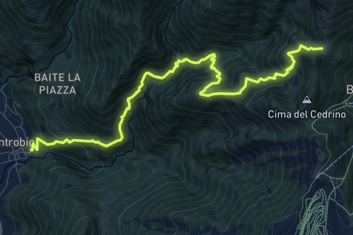
Demanding · Trail
Introbio – Introbio - Passo del Gandazzo
12.1 km · ↑ 1163 m · 5 h 23 min · 9 km away
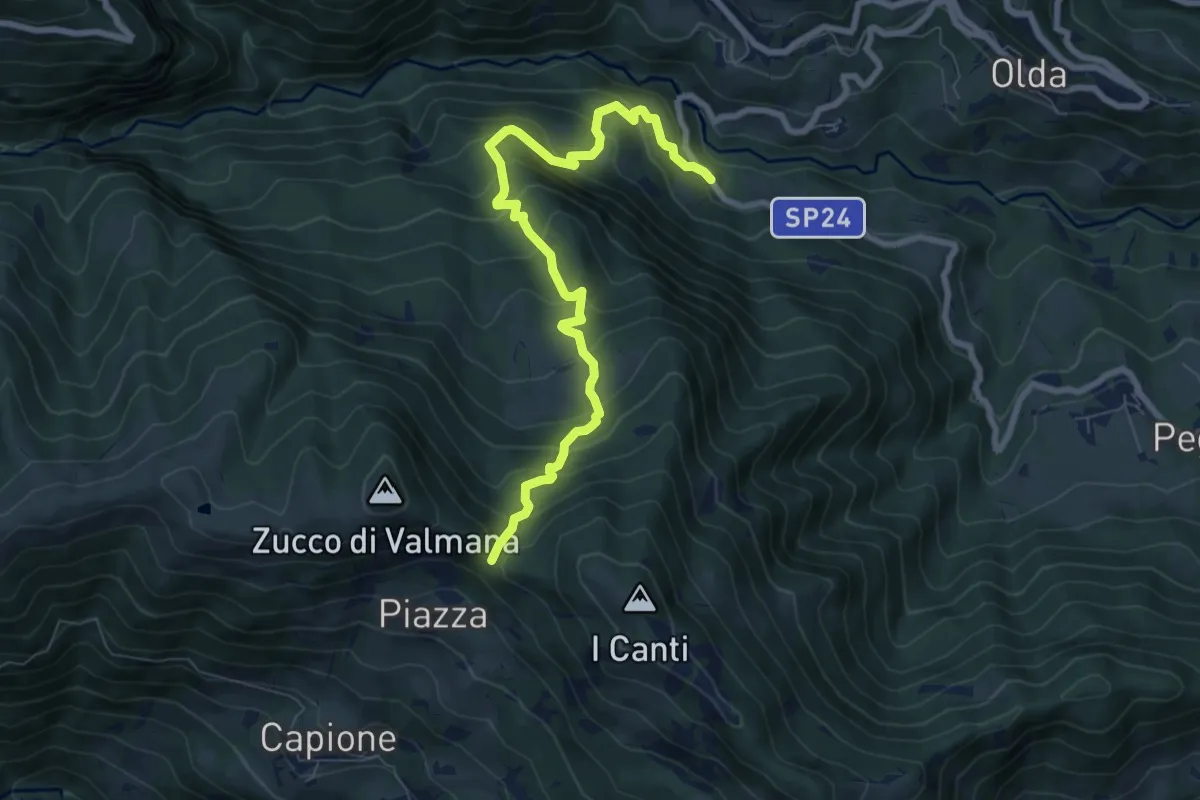
Medium · Trail
Ponte Lavina – Bocca del Grassello
8.2 km · ↑ 738 m · 3 h 32 min · 9 km away
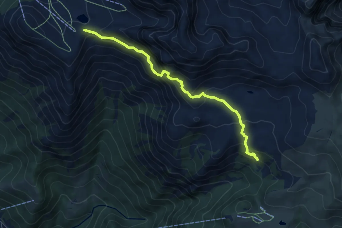
Expert · Trail
Sentiero degli stradini
6.5 km · ↑ 519 m · 2 h 40 min · 9 km away
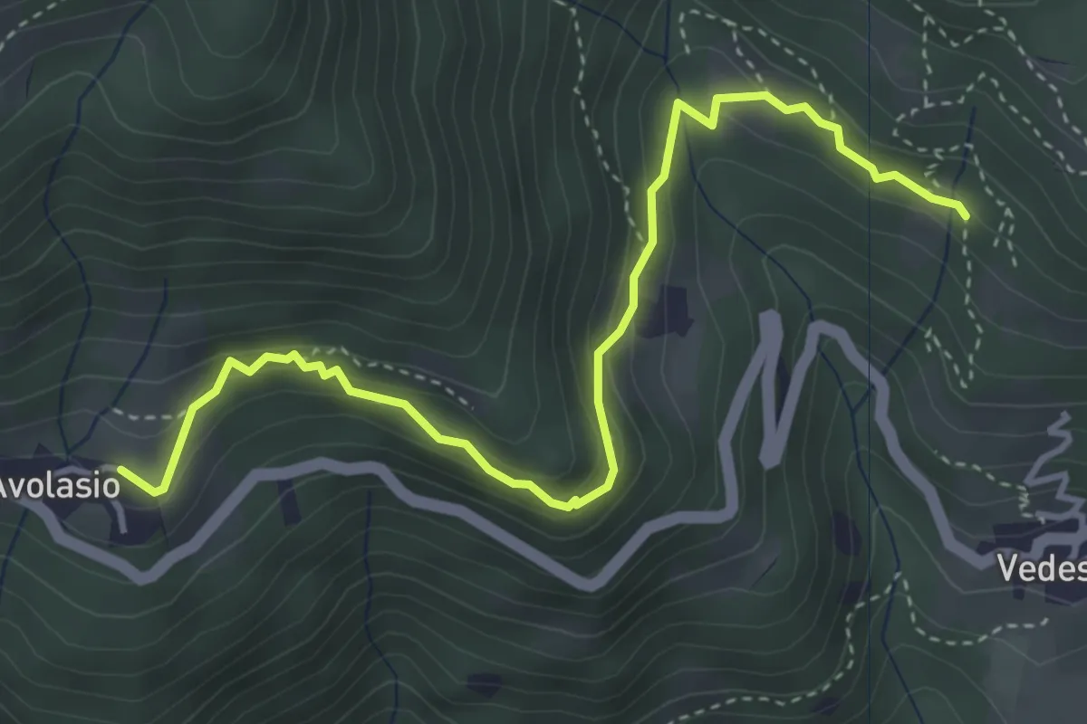
Medium · Trail
Avolasio – Salguggia (incrocio 152A)
4.4 km · ↑ 241 m · 1 h 33 min · 9 km away
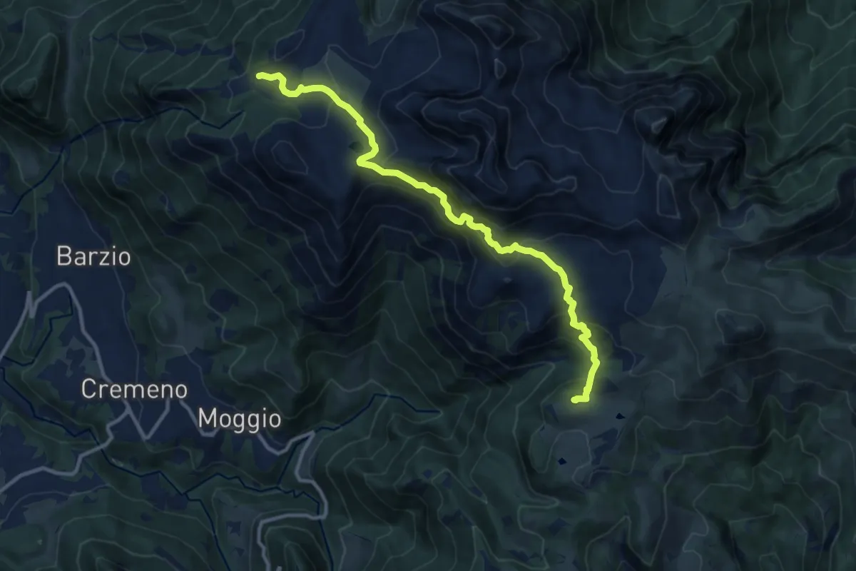
Expert · Cabin
Piani di Bobbio (funivia) – Rifugio Sassi Castelli
11.9 km · ↑ 765 m · 4 h 28 min · 9 km away
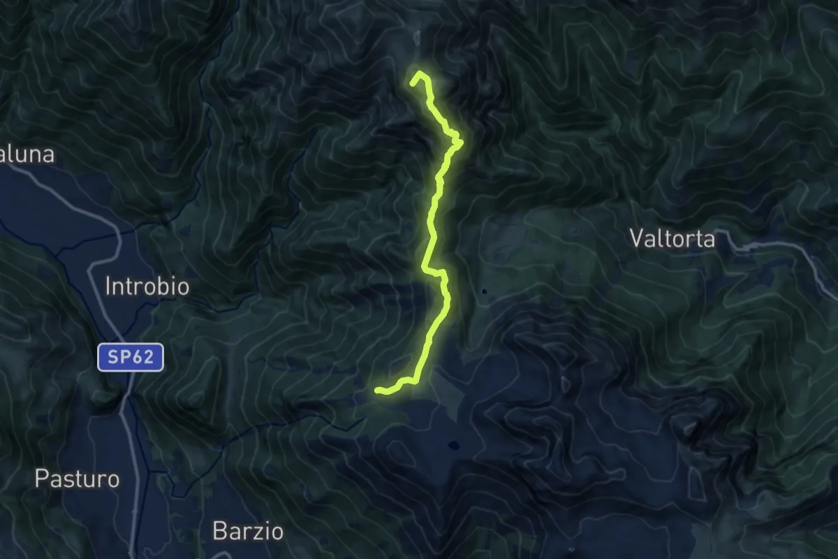
Demanding · Summit
Piani di Bobbio – Rifugio Grassi
10.4 km · ↑ 611 m · 3 h 47 min · 9 km away
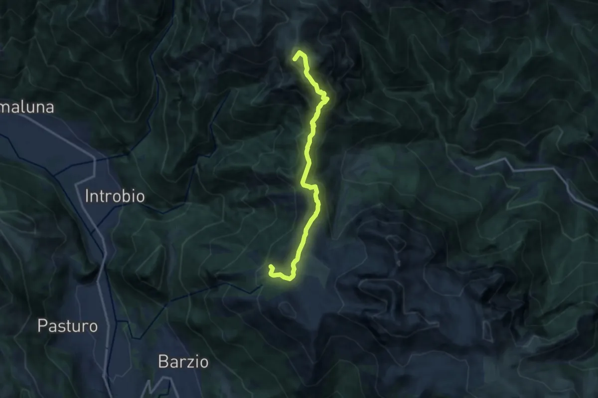
Demanding · Summit
Sentiero dei Laghi Alto - Tappa 1
11.2 km · ↑ 623 m · 4 h · 9 km away
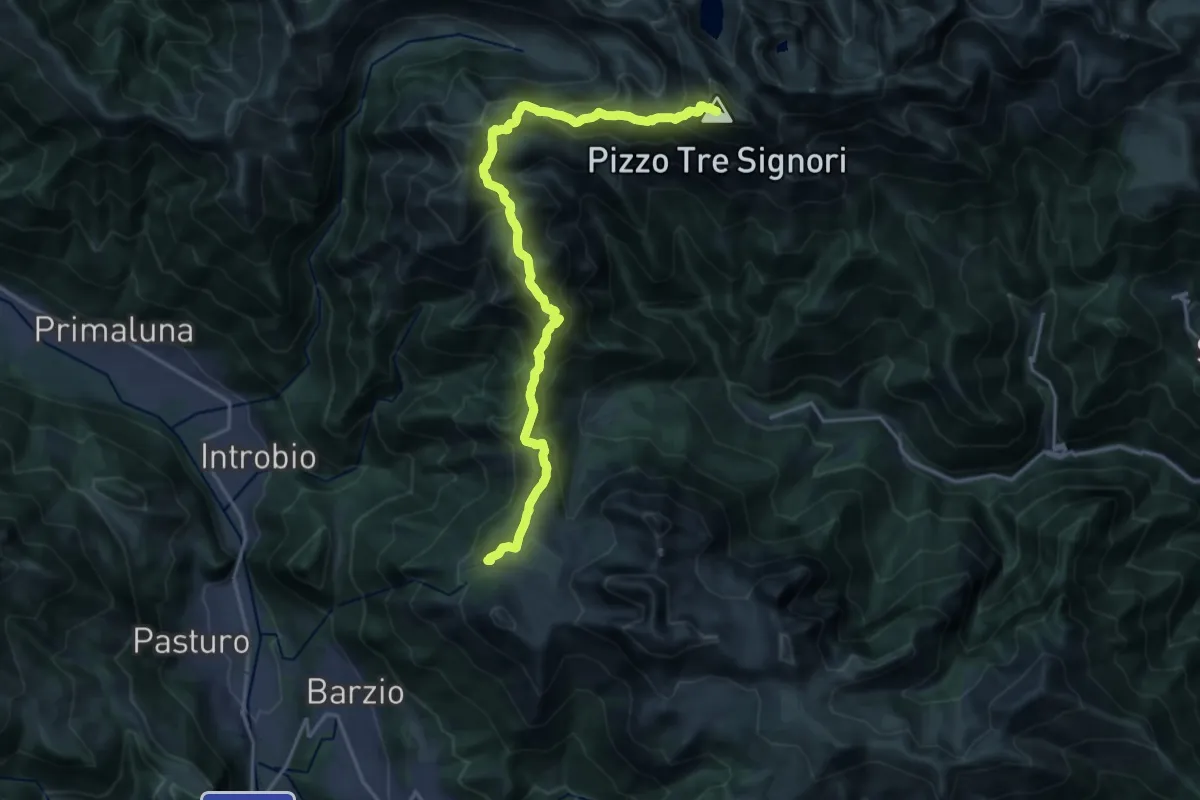
Expert · Summit
Alta Via della Valsassina - Tappa 3
20.3 km · ↑ 1329 m · 7 h 40 min · 9 km away